Block
BlockFrom the record
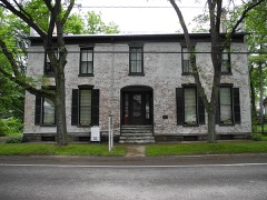
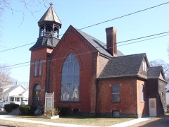
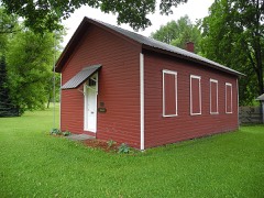
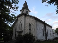
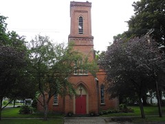
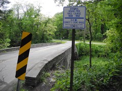
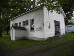
20 National Register listings published here.
Sources: the National Register database, National Park Service
112 topographic sheets cover 36 settlements here, and 20 properties are on the National Register of Historic Places.
20 National Register listings published here.
Sources: the National Register database, National Park Service
Every property in this county listed on the National Register of Historic Places, with the year it was listed and the federal nomination document.
Drawn when these were printed as single large sheets: the town seen from the air, and the county divided into its farms with every owner named. Each opens the original at the Library of Congress.
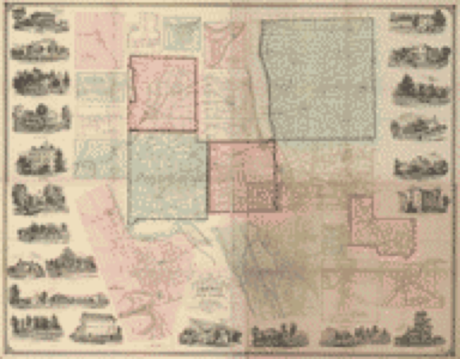
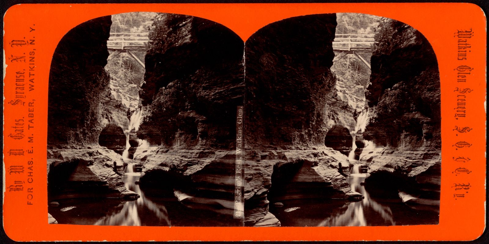
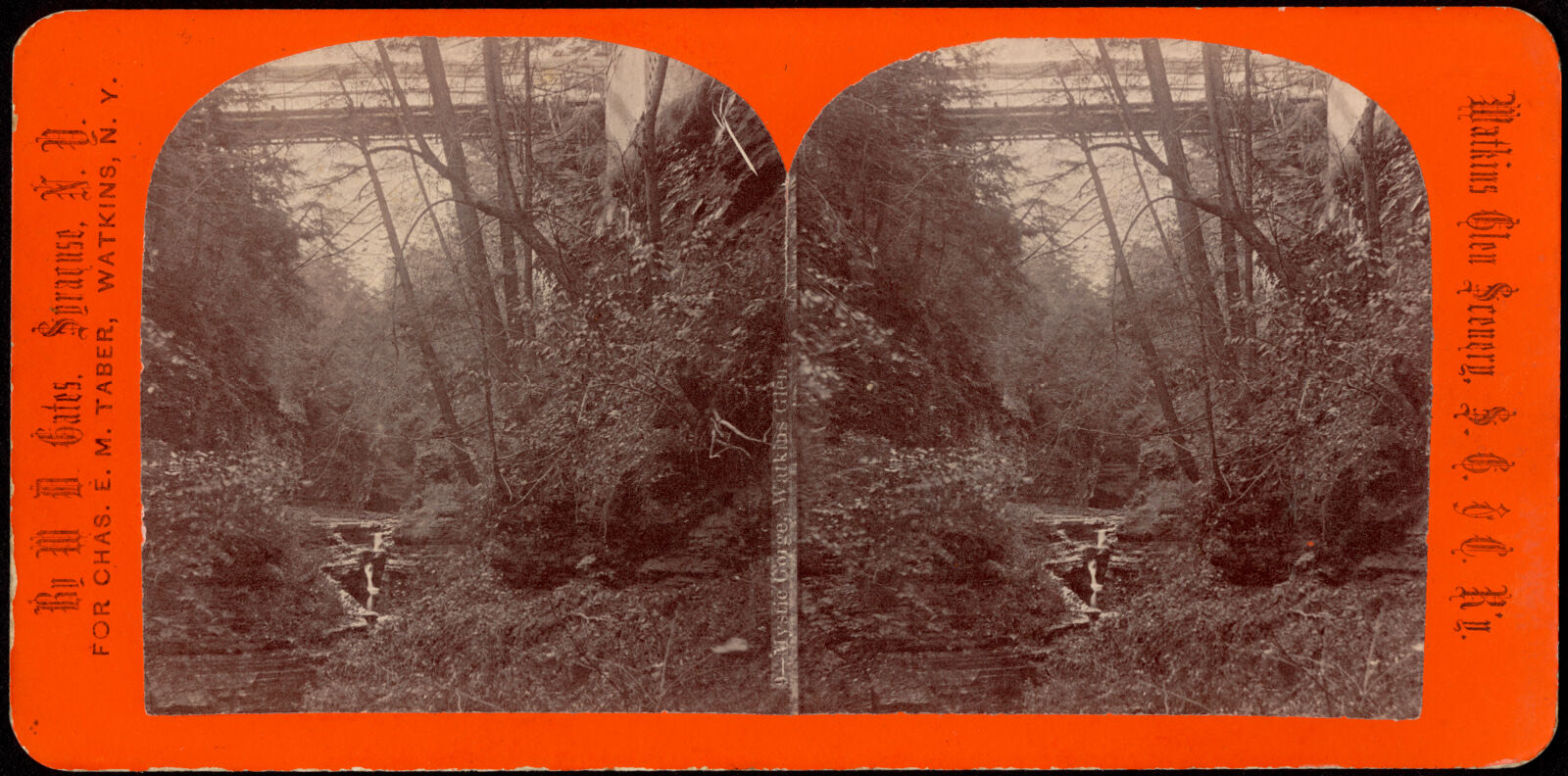
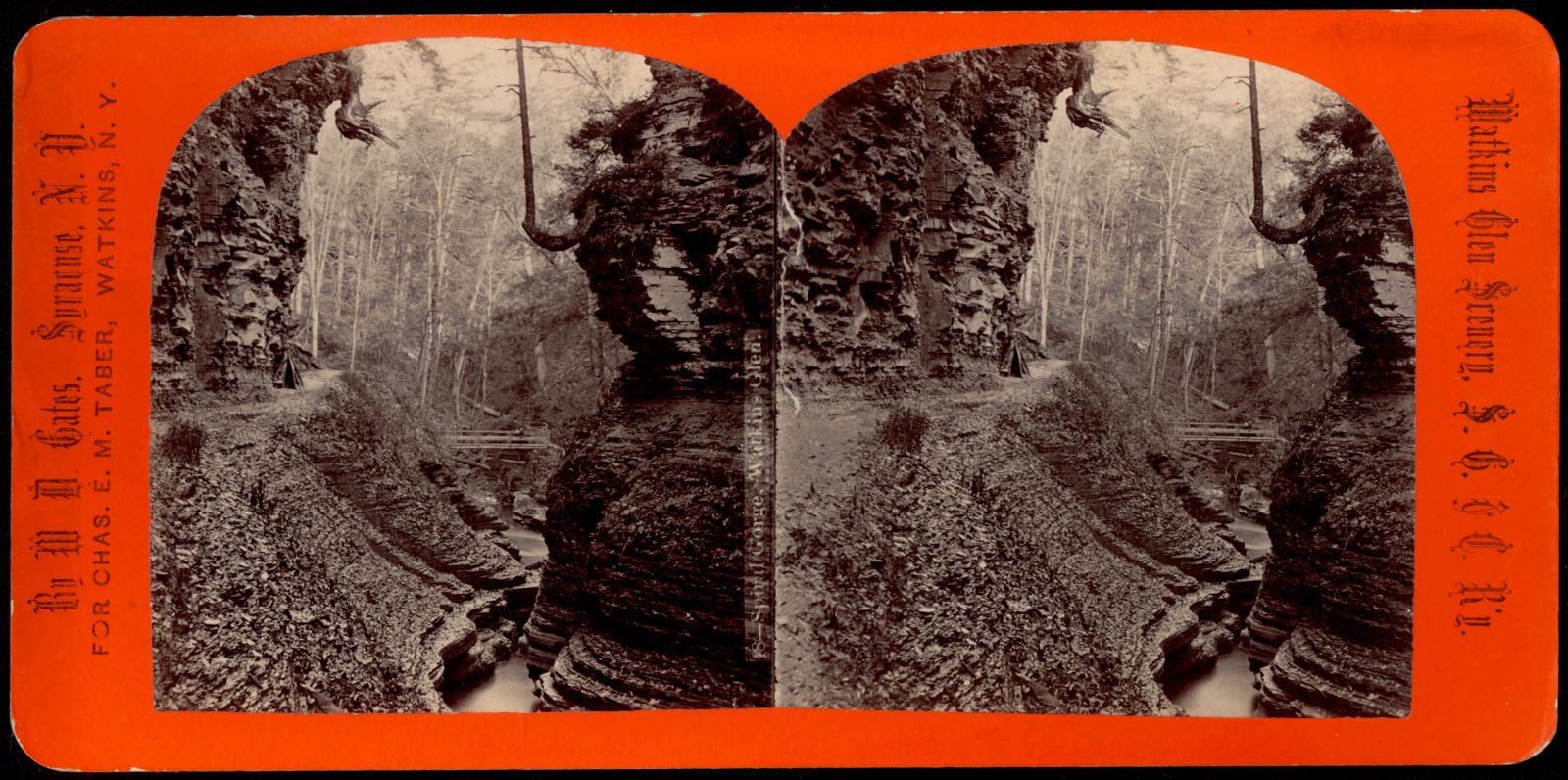
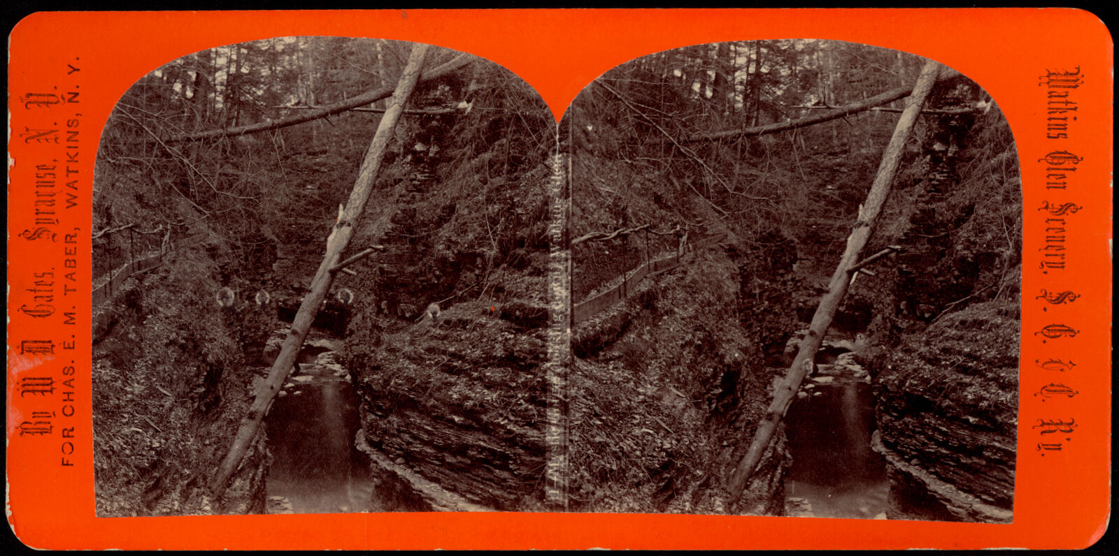
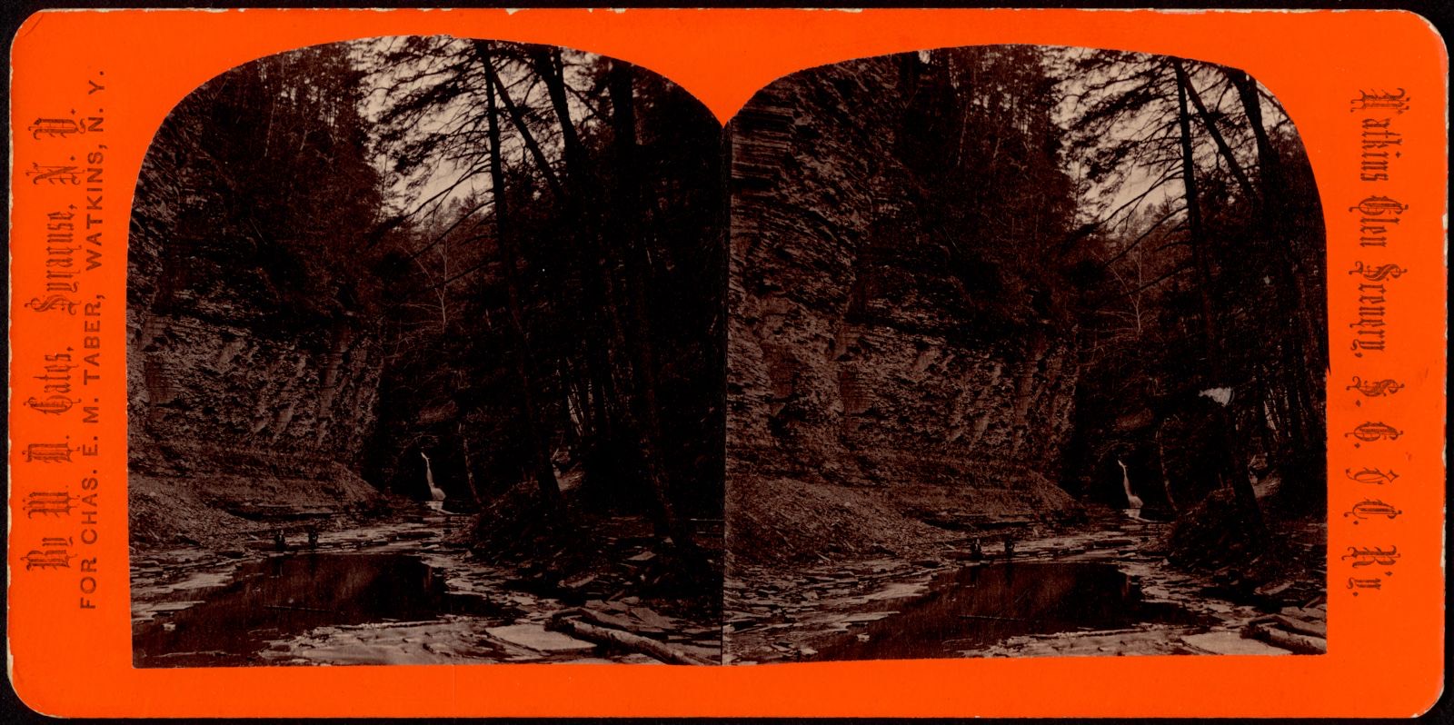
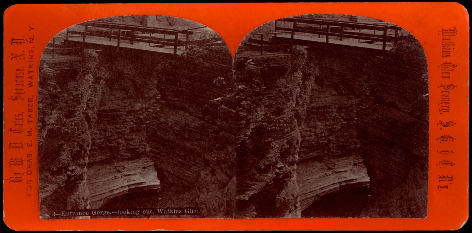
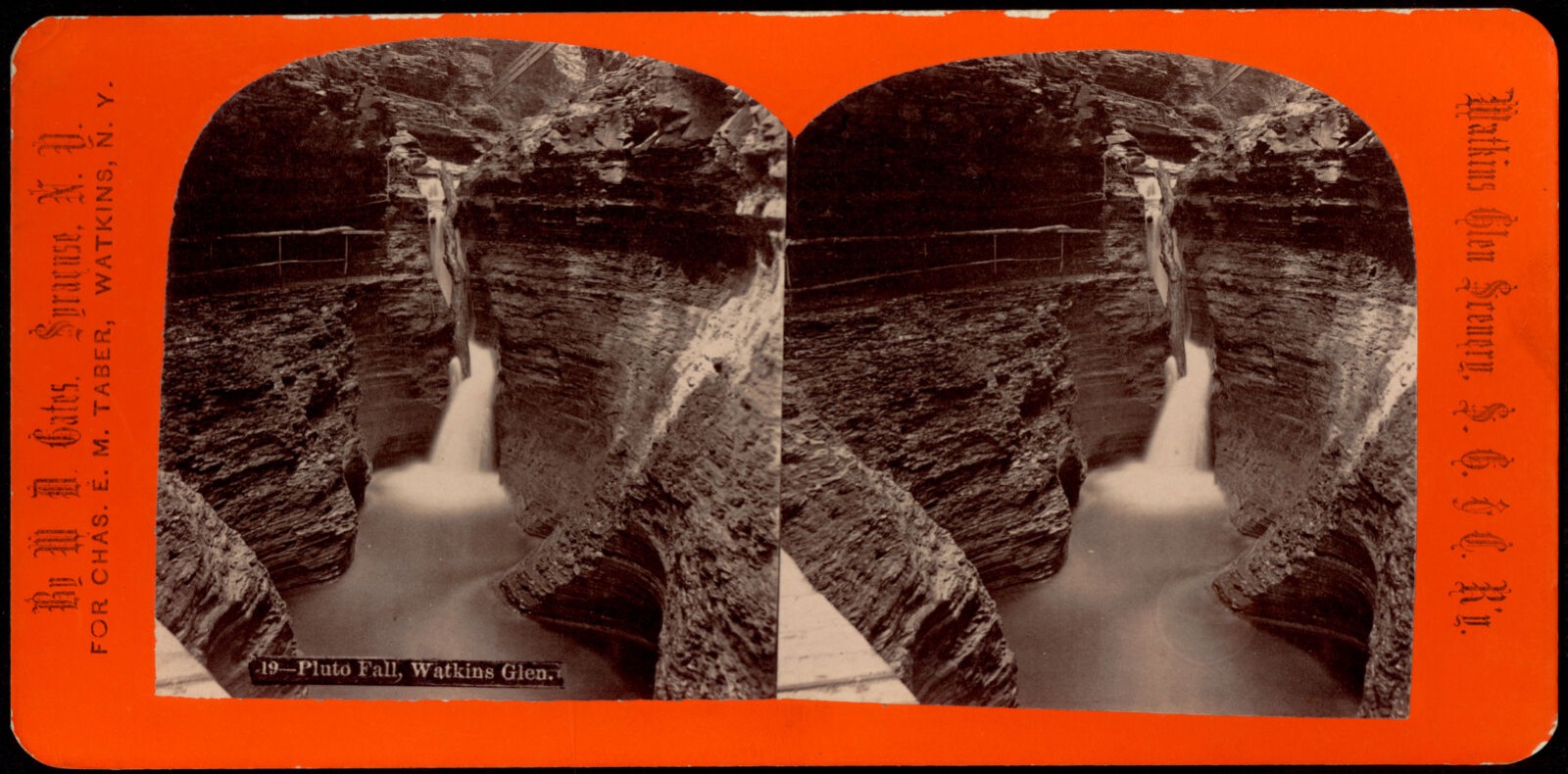
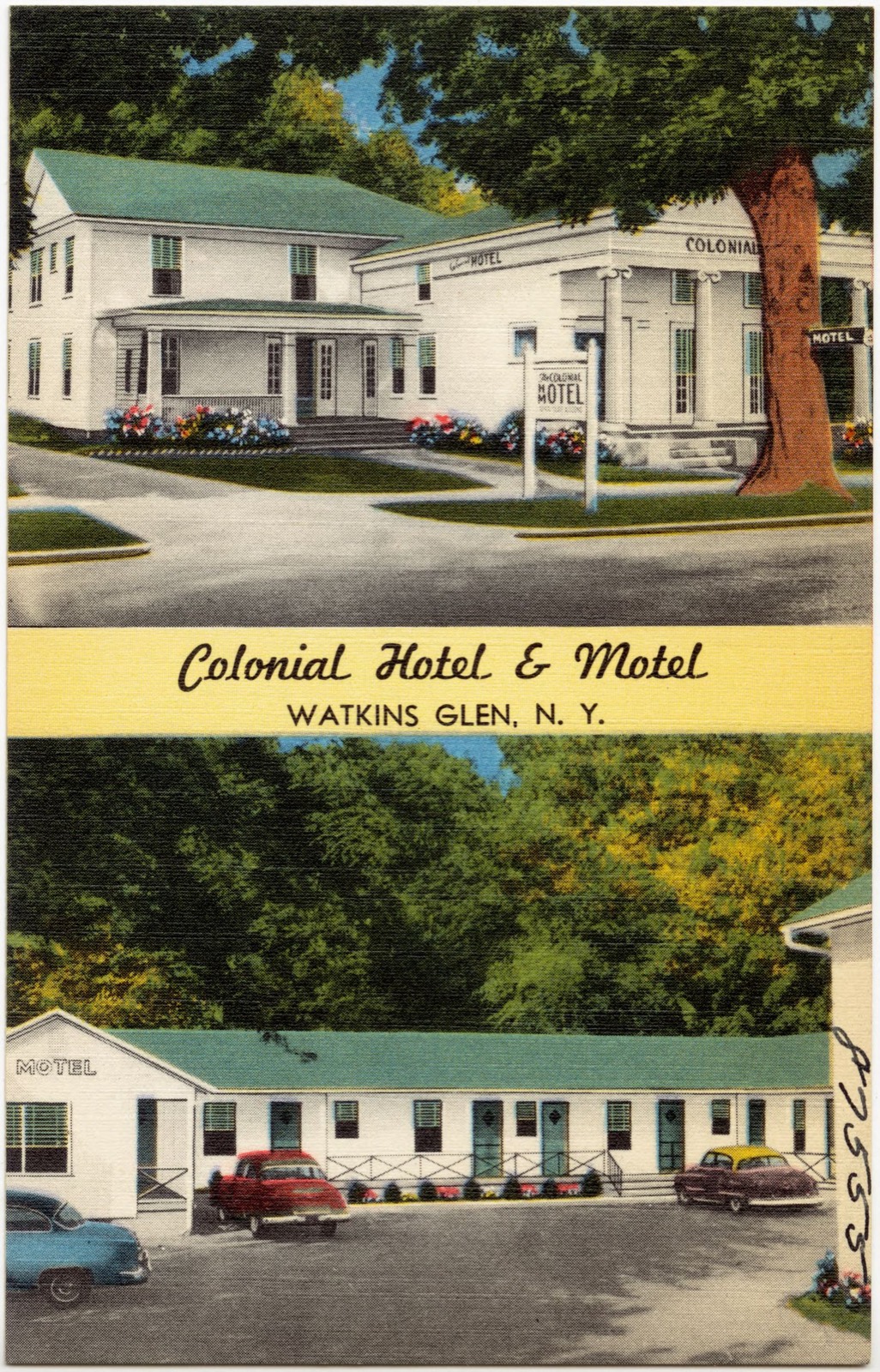
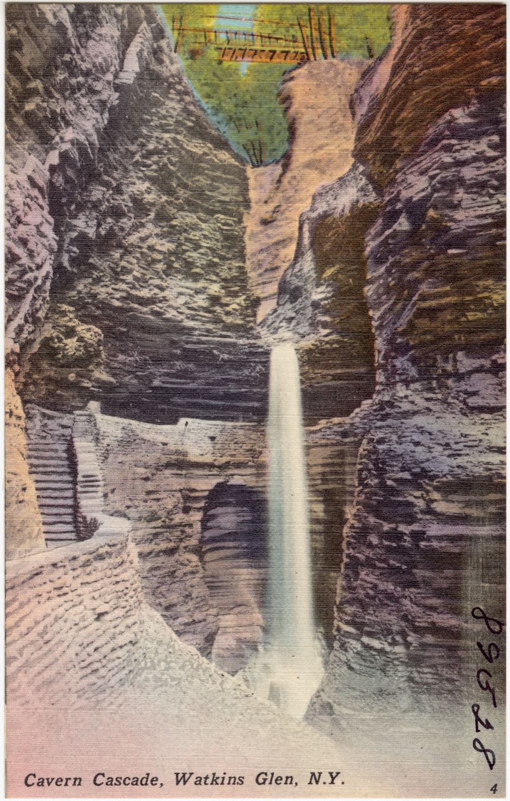
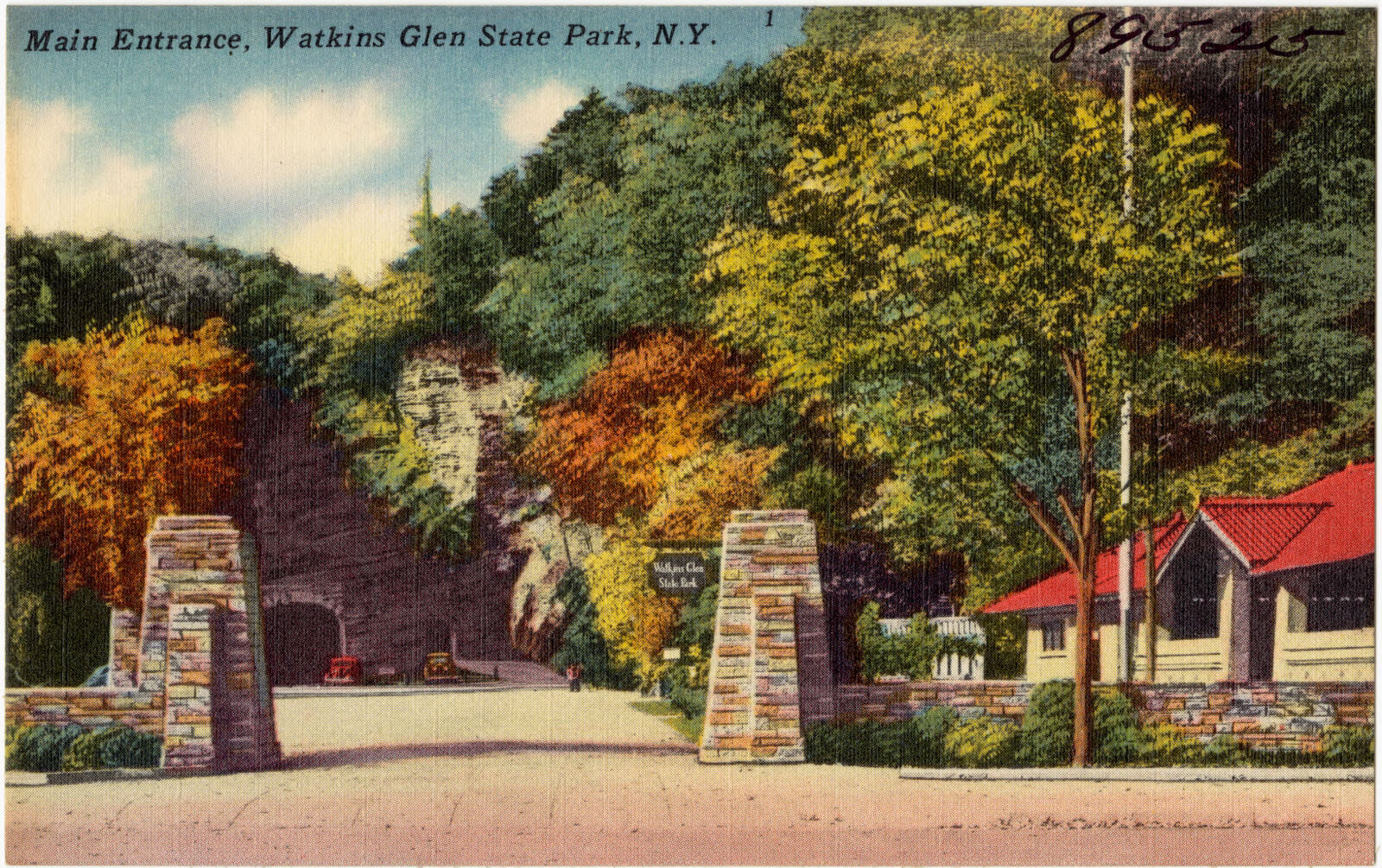
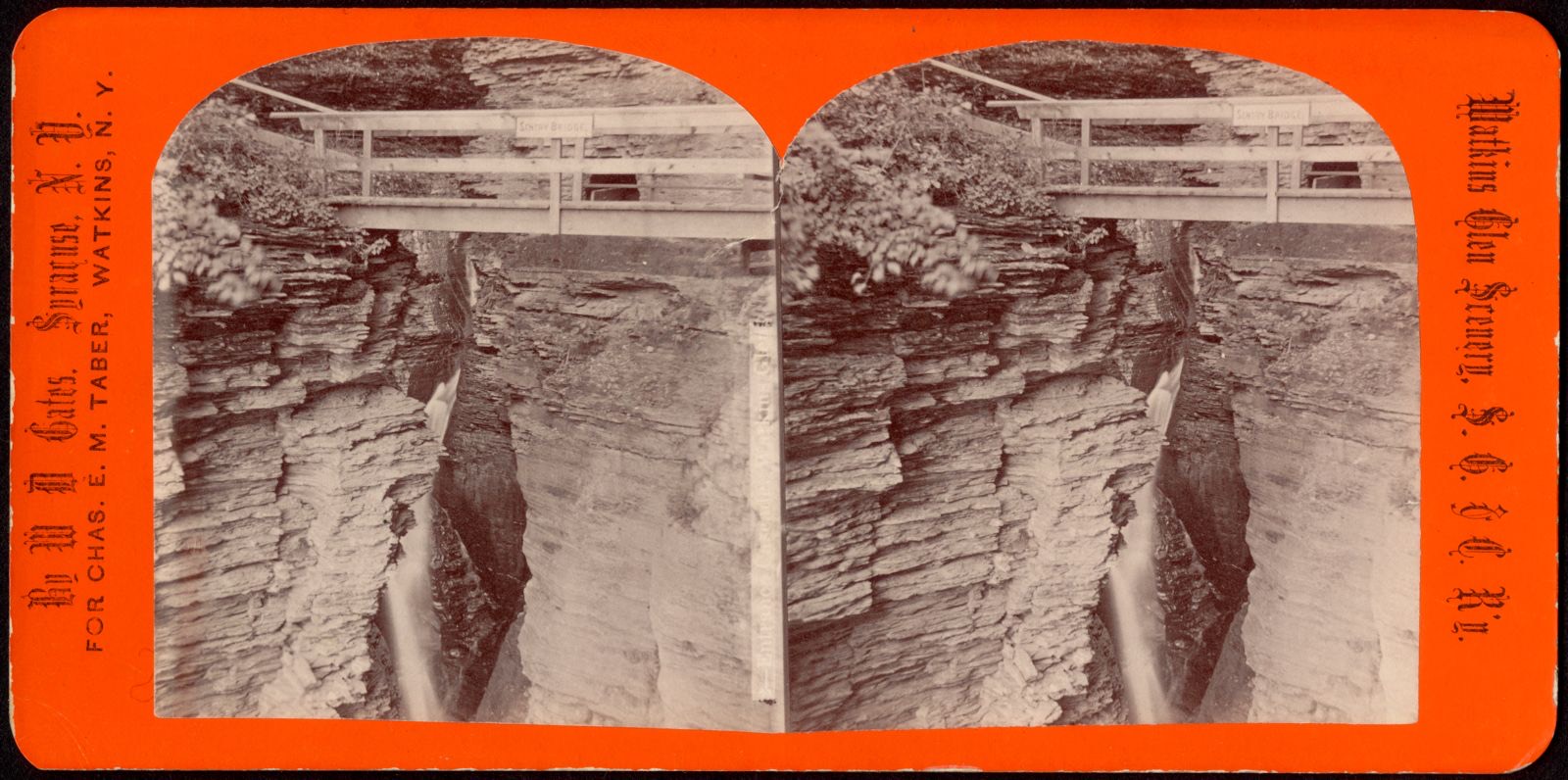
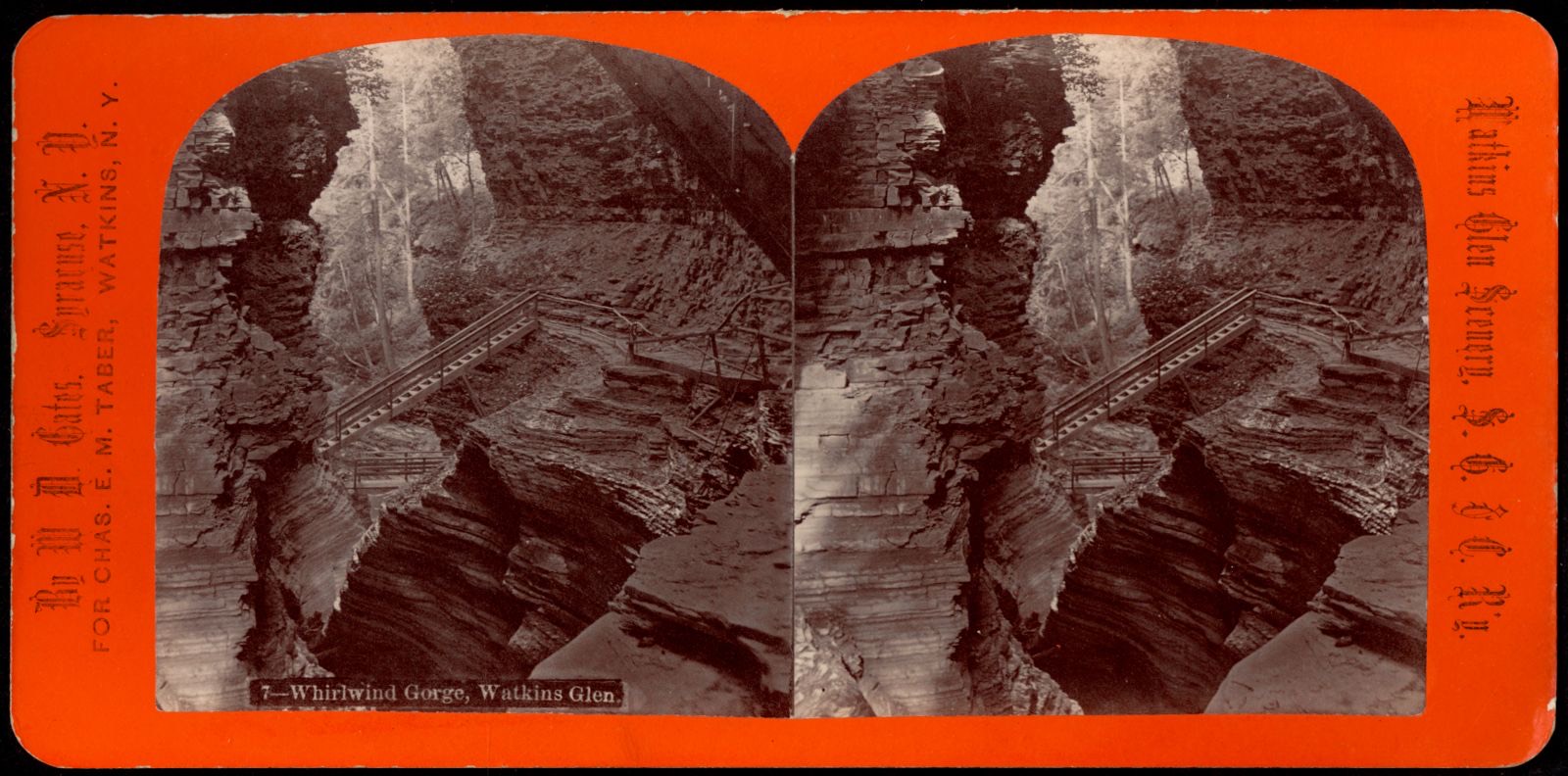
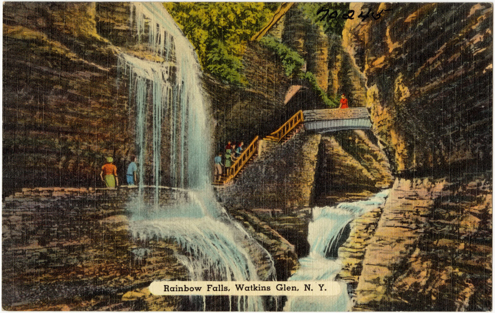
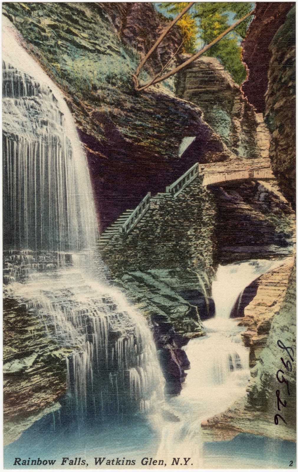
Selected from the Digital Public Library of America's 29 image records catalogued for this county. Every one shown here carries a public-domain status or a licence that permits reuse on a site that carries advertising; non-commercial, share-alike and restricted images are excluded. The selection is spread across the county's towns (at most eight per town), so no single institution's bulk upload crowds out the rest. Each opens the holding library's record, and the complete set at the Digital Public Library of America is one click away.


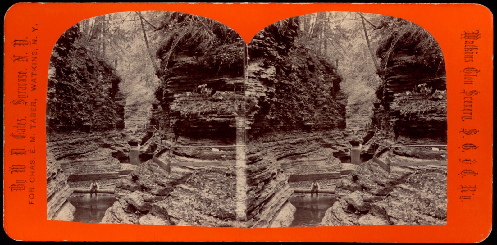
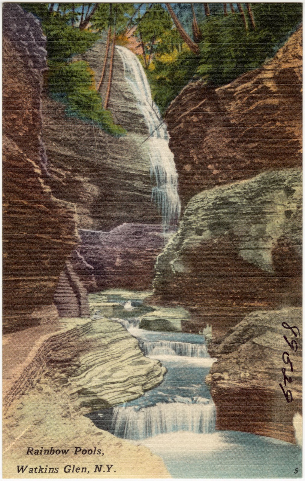
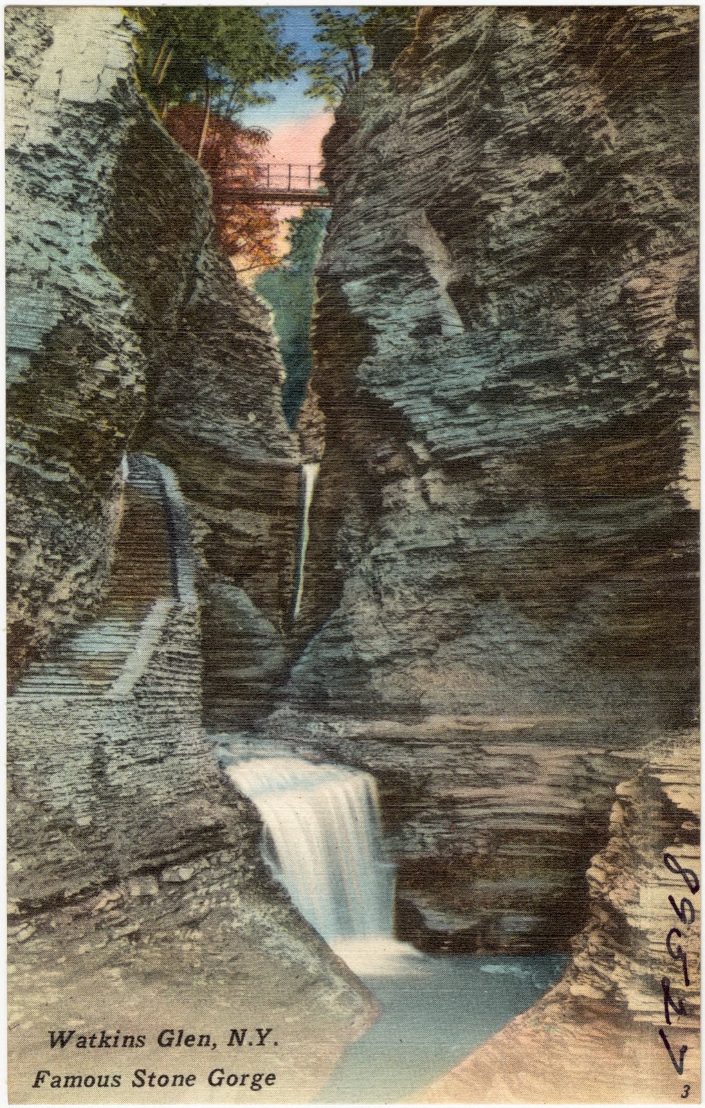
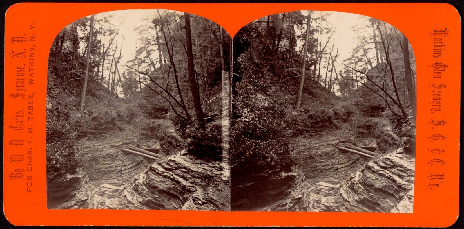
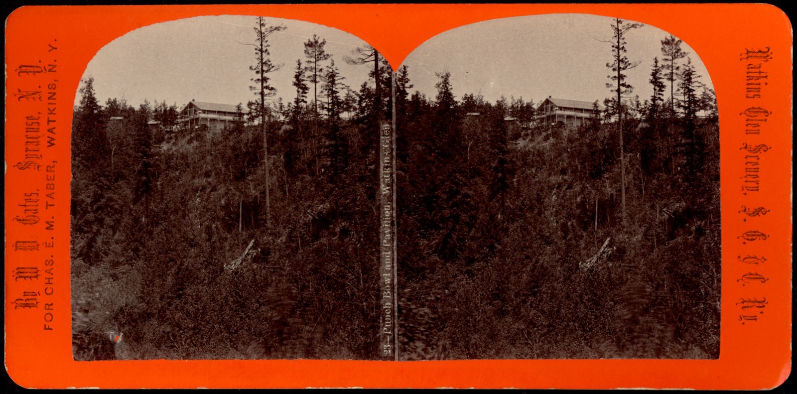
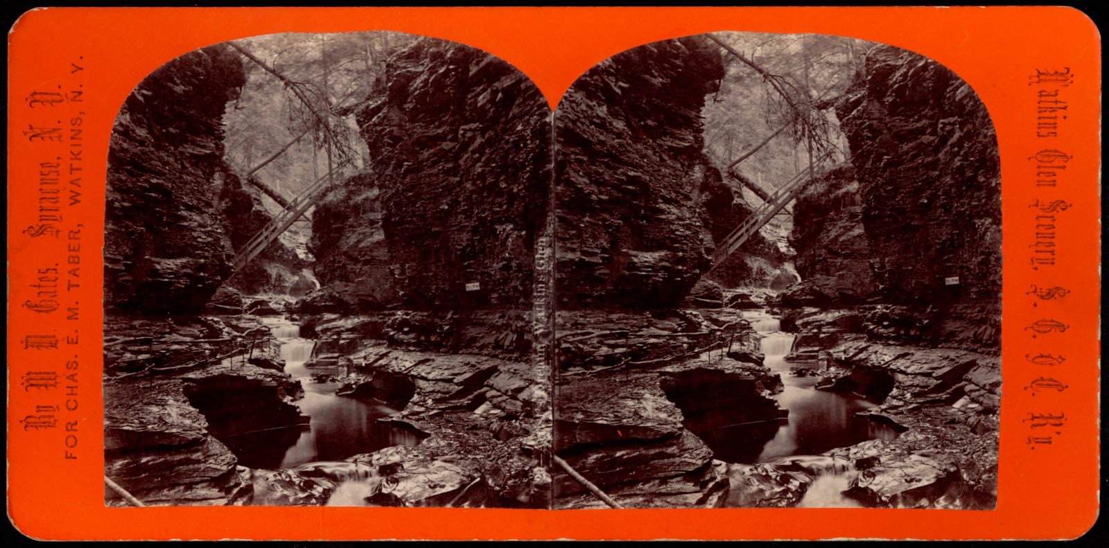
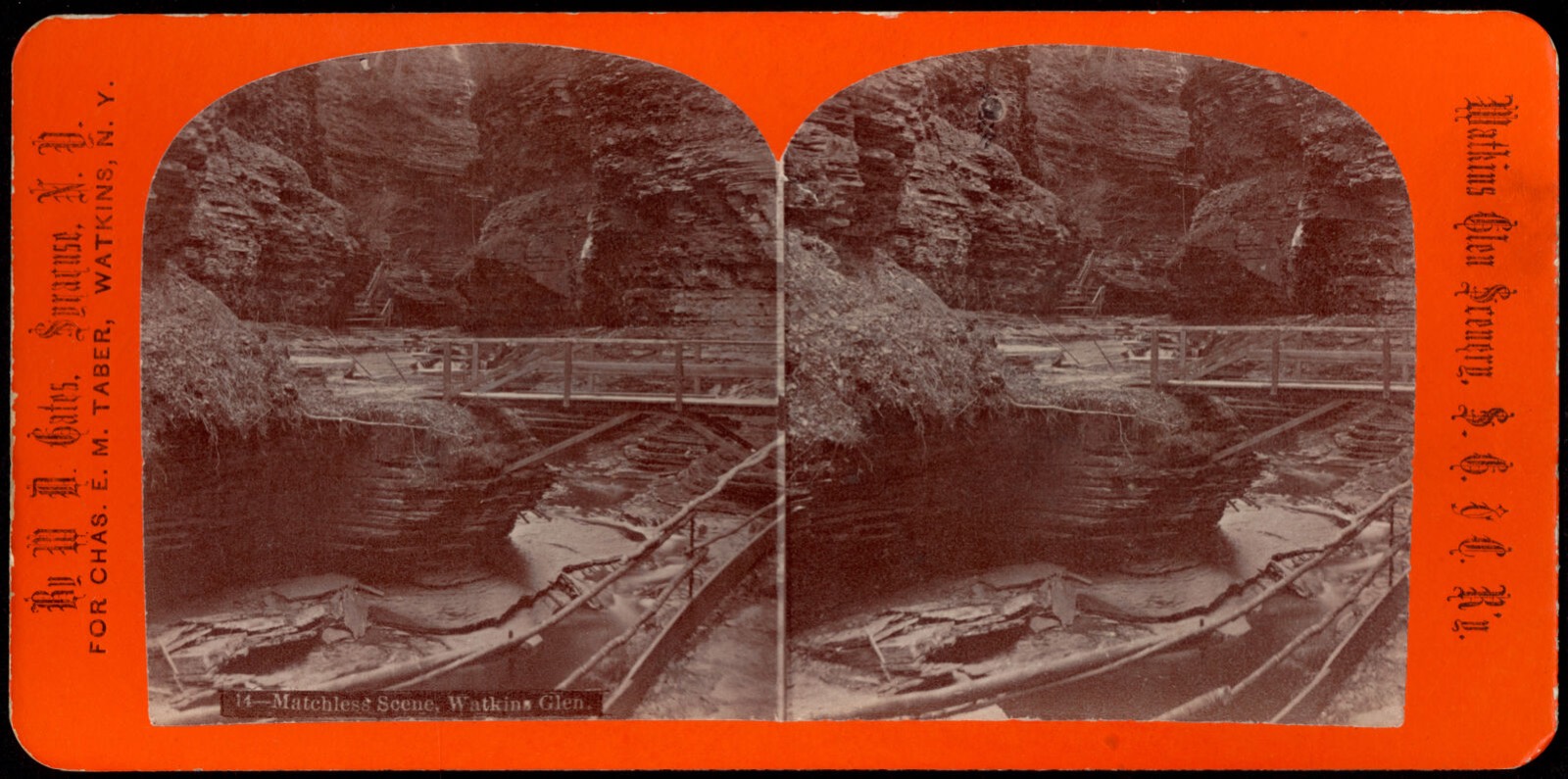
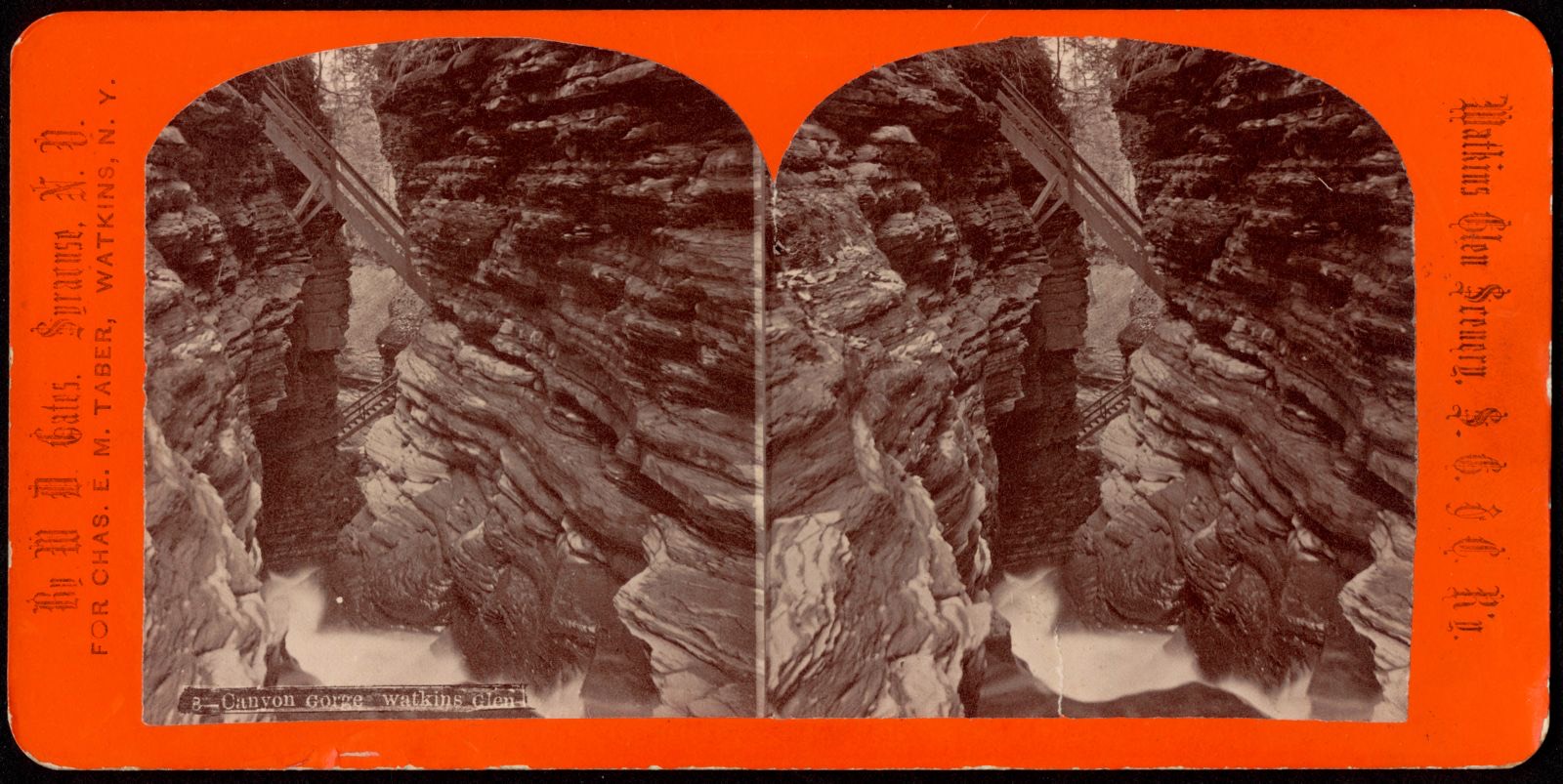


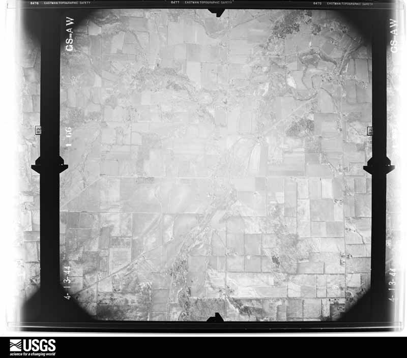
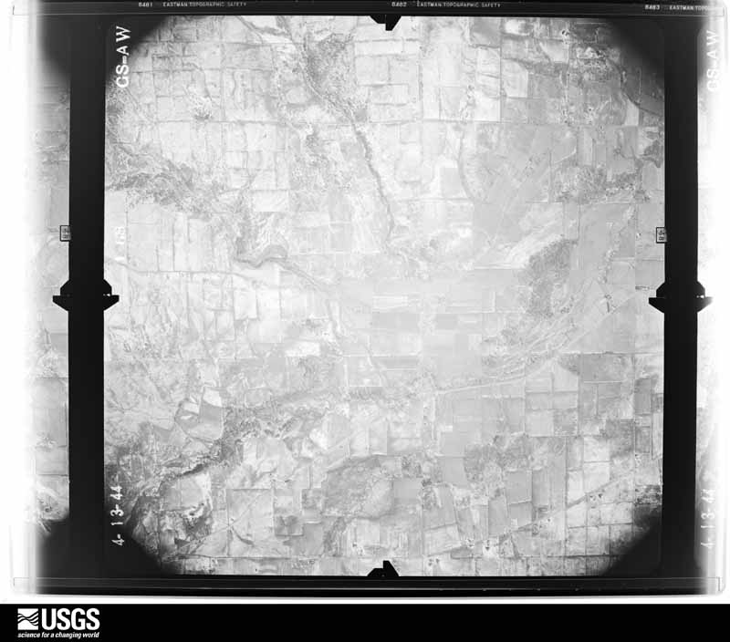
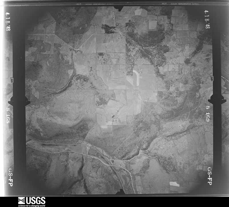
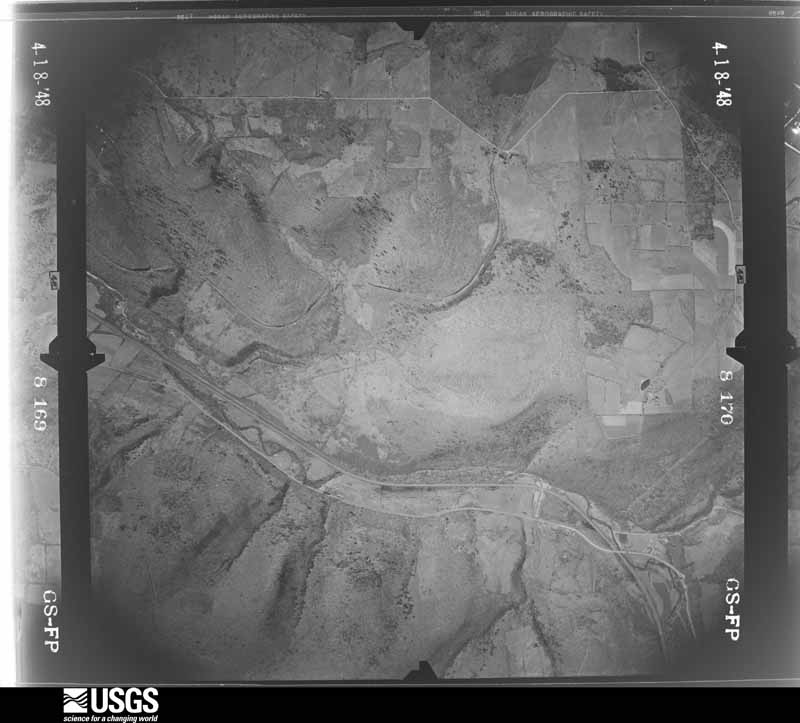
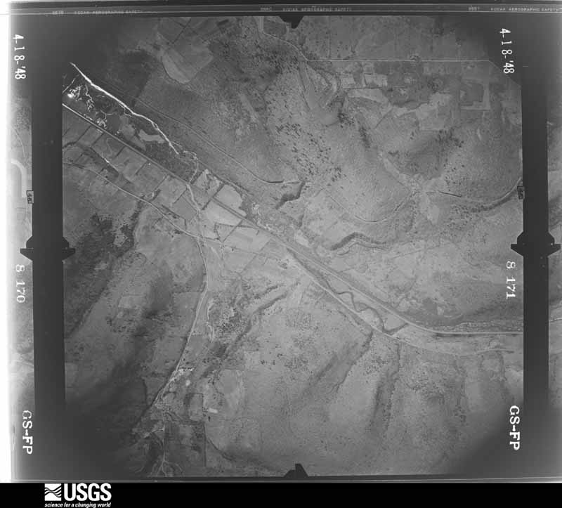
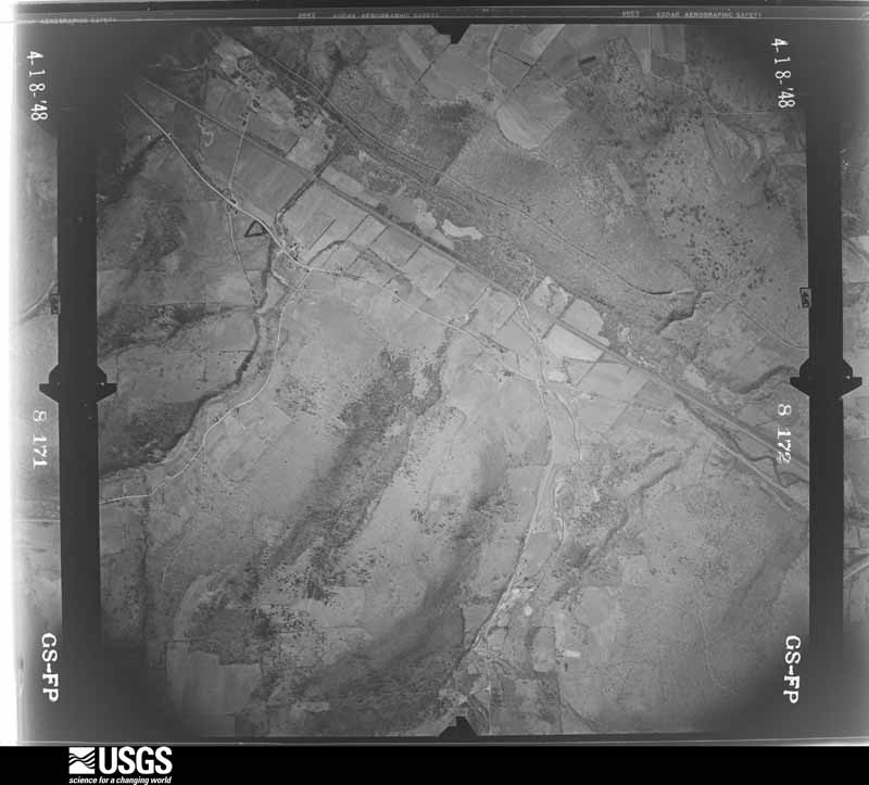
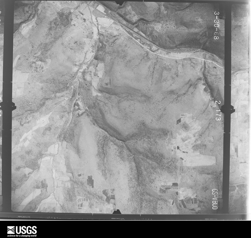
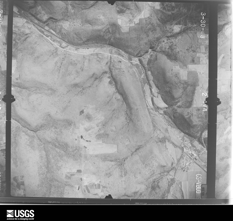
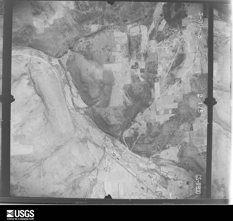
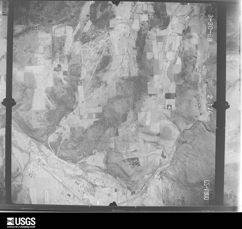
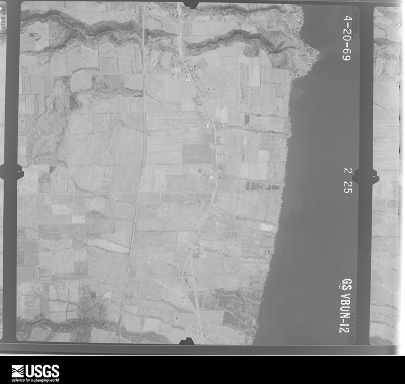
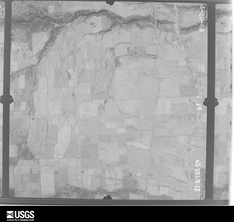
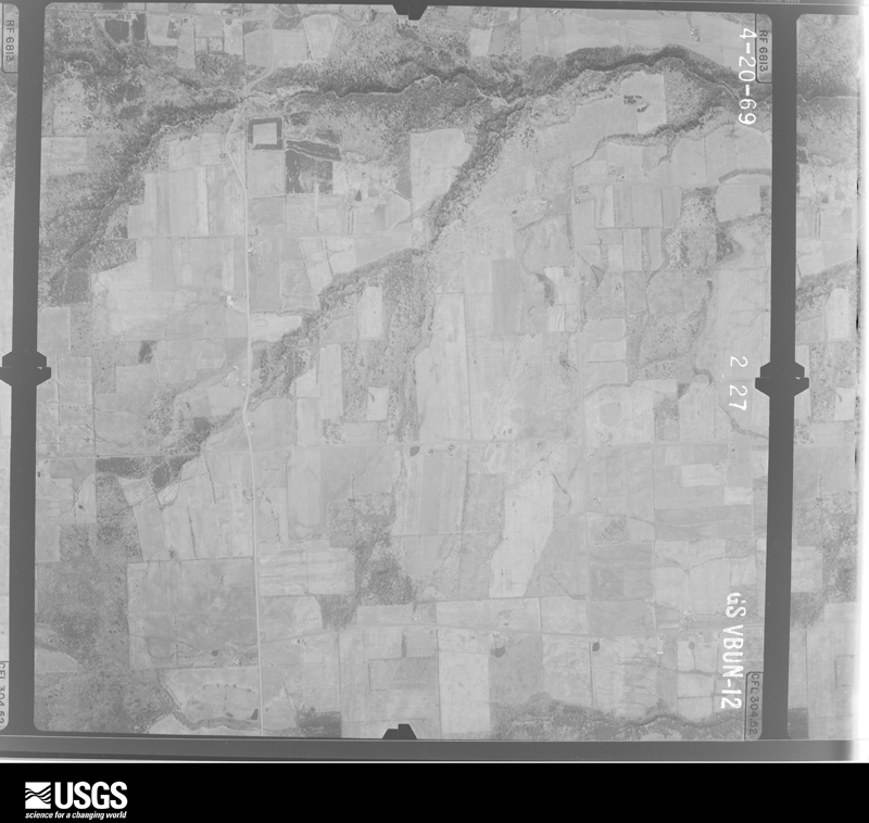
Flown by the U.S. Geological Survey between 1937 and 1989, the Aerial Photo Single Frames collection is the definitive mid-century view of the land: fields, roads and rivers as the camera saw them. The Survey holds 1,242 frames inside the rectangle that bounds this county; the 35 frames below were taken over the county itself, chosen across the decades of flights (at most four a year from that rectangle), so one flight cannot crowd out the rest. The full set is free to browse and download at EarthExplorer under the dataset Aerial Photo Single Frames.








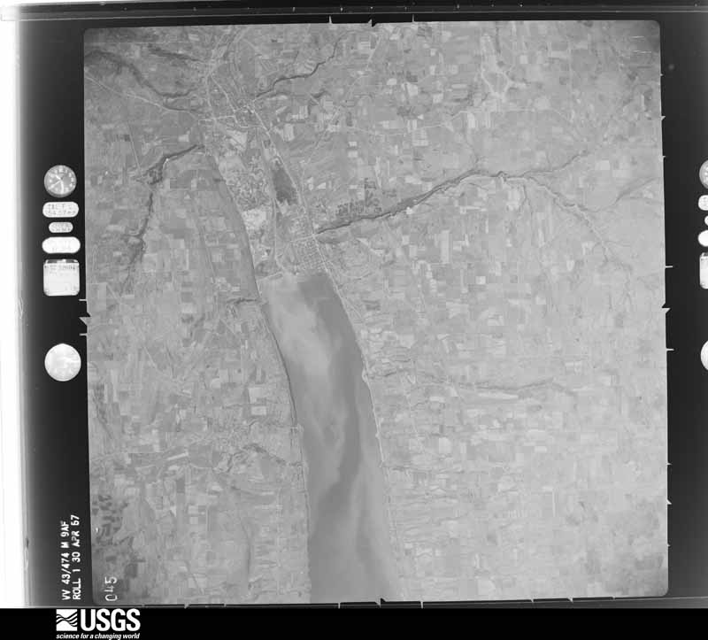
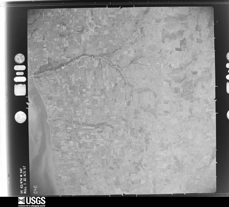

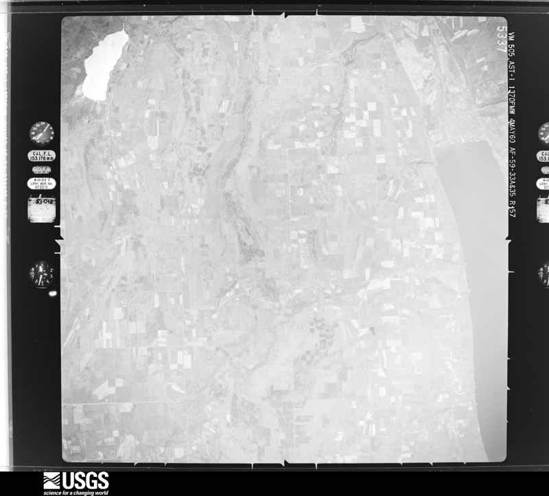

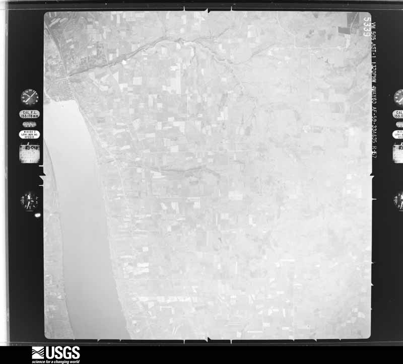








The thermometers that kept this county's weather, and the gages that measured the flow of its streams, as the federal records hold them. The extremes below are measured values from those records, not estimates.
Who lived here in 1950, one enumeration district at a time, as the Census Bureau described each district. Each row opens its official National Archives result, with Population Schedules and ED Maps available there.
Every wildfire the federal occurrence database records inside this county: 398 of them, burning about 465 acres. 36 started naturally and 44 were recorded as arson. Each settlement page carries the fires within five miles of it.
| Reported cause | Fires |
|---|---|
| Missing data/not specified/undetermined | 182 |
| Debris and open burning | 93 |
| Arson/incendiarism | 44 |
| Natural | 36 |
| Equipment and vehicle use | 17 |
| Smoking | 13 |
| Recreation and ceremony | 10 |
| Misuse of fire by a minor | 2 |
| Power generation/transmission/distribution | 1 |
The five largest, by the area the report gives. None of them was recorded as arson.
| Date | Cause | Size | Reported by | Name on the report |
|---|---|---|---|---|
| 14 April 1999 | Debris and open burning | 30 acres | New York Forest Rangers | not named |
| 25 March 2009 | Debris and open burning | 18 acres | Fire Department of New York | not named |
| 22 April 2001 | Debris and open burning | 14 acres | New York Forest Rangers | not named |
| 8 April 1999 | Debris and open burning | 10 acres | New York Forest Rangers | not named |
| 16 August 2020 | Natural | 5.0 acres | Fire Department of New York | NA |
| 29 April 2020 | Equipment and vehicle use | 5.0 acres | Fire Department of New York | NA |
| 17 August 2020 | Missing data/not specified/undetermined | 5.0 acres | Fire Department of New York | NA |
| 29 April 1998 | Debris and open burning | 5.0 acres | New York Forest Rangers | not named |
Every settlement page carries the fires within five miles of it - see the settlement index below.
The NOAA Storm Events Database holds 199 reports for this county, causing 1 death, 6 injuries and about $15,160,500 in recorded property damage. Each settlement page carries the reports that name it.
| Kind of event | Reports |
|---|---|
| Thunderstorm Wind | 137 |
| Hail | 34 |
| Flash Flood | 21 |
| Tornado | 5 |
| Lightning | 2 |
The most serious of them, by death, then injury, then recorded damage. The accounts are quoted exactly as the forecast office filed them.
| When | Event | Place named | Harm | What the report says |
|---|---|---|---|---|
| August 1988 | Tornado (F1) | not stated | 1 killed, 1 hurt, $250,000 | no account filed |
| July 1999 | Hail | Tyrone | 3 hurt | Three children suffered head injuries from being struck several times by hail averaging the size of golfballs. |
| July 2019 | Lightning | Watkins Glen | 2 hurt | A thunderstorm caused a lightning strike to hit the Cayuga Loop campground, resulting in two minor injuries to campers. |
| July 2003 | Flash Flood | South Portion | $3,000,000 | Nearly stationary thunderstorms dumped between 2 and 3 inches of rain in less than 3 hours across the southern half of Schuyler County during the afternoon. Two day rainfall totals were 3 and 6 inches. Thunderstorms also moved across the county on the 22nd. The heaviest rain fell across Monterey, Townsend, Montour Falls, Beaver Dams, Watkins Glen and Odessa. The heavy rain caused flash flooding that closed many roads, and created several mudslides. In the town of Dix, just west of Watkins Glen International Speedway, a bridge was washed out on County Route 16. |
| June 2015 | Flash Flood | Watkins Glen | $2,600,000 | Numerous roads were flooded in the region. |
| June 2015 | Flash Flood | Tyrone | $2,600,000 | Numerous roads were flooded and impassible around the village. |
| June 2015 | Flash Flood | Tyrone | $2,600,000 | Approximately 10 homes were severely damaged by flooding. At least one dozen people were evacuated from these residences. |
| January 1996 | Flash Flood | Countywide | $1,500,000 | no account filed |
| November 1996 | Flash Flood | Countywide | $600,000 | no account filed |
| July 2024 | Thunderstorm Wind | Montour Falls | $350,000 | A line of severe thunderstorms passed through the area with scattered damage on July 15. A focused microburst descended upon the northeast side of Montour Falls, heavily damaging or in many cases uprooting a grove of large trees up to 2 feet in diameter including sycamores. They fell in a divergent pattern, indicating a downburst. Many trees or large branches dropped upon several mobile homes, entrapping 3 residents, while also crushing 2 vehicles and a riding mower. On the front side of the microburst, a Department of Public Works storage building was completely blown apart with |only one wall left standing. |
| August 1990 | Tornado (F2) | not stated | $250,000 | no account filed |
| May 2025 | Thunderstorm Wind | Monterey | $126,000 | A microburst occurred near Monterey which produced estimated peak wind speeds of 85 mph. Multiple properties were damaged, including the collapse of a wooden garage, major loss of a metal and wooden barn, major loss of metal roofing on another barn, and a hole from a 2-inch diameter branch that punctured through two doors of a house. Evidence of hail damage was seen on a house with multiple small holes on the|siding, and copious amounts of hail at least one inch in diameter. After the focused microburst ended, this storm progressed eastward with additional pockets of|estimated wind speeds of 65 to 75 mph, leading to numerous uprooted and snapped trees along a path from southern Montour Falls to Odessa and Alpine. Some of these trees fell onto properties, and a downed electrical wire caused an injury as an individual came into contact with the live wire. |
| August 2018 | Flash Flood | Hector | $75,000 | Many roads flooded and damaged by severe flash flooding. People trapped in homes with rescues underway. |
| August 1998 | Thunderstorm Wind | Townsend | $65,000 | The same line of severe thunderstorms that affected Steuben county earlier moved into Schuyler county and produced more widespread wind damage for the midday period. As the storms entered western sections of the county, dime sized hail was observed by a skywarn spotter in Townsend and 70 mph winds were also recorded by this individual. Further east, many trees were downed in Tyrone, Watkins Glen, and Montour Falls. Several streets were littered with large tree limbs, fallen wires, and in some cases damaged traffic signals. Finally, additional trees and power lines were felled in Mecklenburg as the storms ripped through far eastern portions of the county. |
| April 2011 | Thunderstorm Wind | Catharine | $60,000 | Severe straight line winds caused significant damage to a barn and power lines. Trees were also blown down just north of Odessa. |
| July 2014 | Tornado (EF1) | Reading Center | $50,000 | An EF1 tornado producing winds speeds up to 105 MPH and a path length of 3.5 miles and a path width of 125 yards touched down near Altay Road at 434 PM EDT in the Town of Reading and tracked east snapping and uprooting many trees along it's path. The tornado blew a canoe 150 yards from a pond and wrapped it around a pole. There were numerous large splinters from trees and branches impaled in the ground. The tornado partially lifted a roof off of a house as it tracked into the woods. The home was severely damaged. The tornado continued east causing only tree damage before it lifted by Route 14. |
| August 2013 | Flash Flood | Beaver Dams | $50,000 | Major flash flooding of the Mini Mart was reported near the village of Beaver Dams. |
| June 2005 | Flash Flood | Monterey | $50,000 | Slow moving thunderstorms with heavy rain caused flash flooding. Several roads were closed. Mobile home knocked off its foundation from flowing water. 1 water rescue. 1 bridge destroyed and another bridge damaged. |
| May 2004 | Hail | Montour Falls | $50,000 | 1.75 inch hail. |
| April 2005 | Flash Flood | Beaver Dams | $50,000 | no account filed |
| August 1993 | Thunderstorm Wind | Odessa | $50,000 | no account filed |
| August 1993 | Thunderstorm Wind | Reading | $50,000 | no account filed |
| May 1998 | Thunderstorm Wind | Hector | $30,000 | A severe thunderstorm moved through the county during the afternoon. Numerous trees and telephone poles were blown down with damage to roofing and siding occurring in Hector and Mecklenburg at 3:00 pm EDT. |
| May 2004 | Hail | Watkins Glen | $25,000 | 1.5 inch hail. |
| May 1998 | Thunderstorm Wind | Tyrone | $25,000 | A severe thunderstorm toppled several large trees in Tyrone around 2:00 pm EDT. |
| September 1998 | Thunderstorm Wind | Beaver Dams | $25,000 | The same line of severe thunderstorms that produced isolated wind damage in Steuben county also produced scattered wind damage in Schuyler county. Spotty tree damage was noted from the Beaver Dams area eastward to near Mecklenburg between about 315 and 330 am EDT. Portions of routes 79 and 228 were shut down as the roadways were blocked by tree limbs and live wires. |
| June 1964 | Tornado (F1) | not stated | $25,000 | no account filed |
| August 1955 | Tornado (F3) | not stated | $25,000 | no account filed |
| July 2014 | Thunderstorm Wind | Montour Falls | $20,000 | Trees were blown down on wires and houses. |
| November 2005 | Thunderstorm Wind | Countywide | $20,000 | Thunderstorm winds downed numerous trees and wires countywide, including Mecklenburg. |
| March 2025 | Thunderstorm Wind | Townsend | $17,500 | Strong thunderstorm winds caused the front porch and the southside roof of a residence on County Line Road to be blown away. |
| June 2018 | Thunderstorm Wind | Hector | $15,000 | Thunderstorm winds knocked down trees and power lines. |
| May 1998 | Thunderstorm Wind | Mecklenburg | $15,000 | A severe thunderstorm downed several large trees and power lines in Mecklenburg as it passed through shortly after 6:00 pm EDT. |
| June 2006 | Flash Flood | Burdett | $15,000 | no account filed |
| August 1995 | Thunderstorm Wind | Burdette | $15,000 | no account filed |
| August 1995 | Thunderstorm Wind | Hector | $15,000 | no account filed |
| August 1995 | Thunderstorm Wind | Watkins Glen | $15,000 | no account filed |
| July 2024 | Thunderstorm Wind | Monterey | $12,500 | A line of severe thunderstorms passed through the area with scattered damage. An intense microburst occurred in a wooded higher elevation location of southwestern Schuyler County about 2 miles north-northwest of Monterey. In addition to dozens of uprooted trees up to 2 feet in diameter, there was a focused corridor of large trunk snaps, both hardwood and softwood. Other than a chicken coop which was crushed, damage though intense was limited to trees. The damage pattern was immediately intense at the initial microburst impact and then diverged while dissipating across Switzer Hill Road. Other minor tree damage could be found up and down the road outside of the main microburst corridor. |
| July 2023 | Flash Flood | Watkins Glen | $12,000 | Flooding was reported at the salt processing plant along Route 30. Several other roads were closed due to flooding in the area. |
| August 1995 | Thunderstorm Wind | Dix | $12,000 | no account filed |
| August 1995 | Thunderstorm Wind | Montour Falls | $12,000 | no account filed |
| March 2025 | Thunderstorm Wind | Burdett | $10,000 | Strong thunderstorm winds partially ripped off a metal roof. |
| June 2021 | Thunderstorm Wind | Reading Center | $10,000 | Strong thunderstorm winds snapped power poles, knocking down powerlines. |
| August 2020 | Thunderstorm Wind | Cayuta | $10,000 | Strong thunderstorm winds brought down a tree on a vehicle. |
| July 2019 | Thunderstorm Wind | Odessa | $10,000 | Strong thunderstorm winds brought down trees and wires near 1920 County Route 15. |
| August 2019 | Thunderstorm Wind | Cayuta | $10,000 | Strong thunderstorm winds snapped and uprooted several trees. |
| June 2018 | Thunderstorm Wind | Watkins Glen | $10,000 | Thunderstorm winds knocked down trees and power lines on County Route 28. |
| July 2017 | Flash Flood | Watkins Glen | $10,000 | Flash flooding spilled across several streets in the Village of Watkins Glen and nearby county roads. There was a report of 2 feet of water in one intersection. |
| June 2015 | Thunderstorm Wind | Watkins Glen | $10,000 | A severe thunderstorm produced severe winds as it moved across the area. The thunderstorm resulted in trees and wires being knocked down around Watkins Glen. |
| September 2011 | Flash Flood | Wedgewood | $10,000 | Road flooding was reported on State Route 14 between Watkins Glen and Montour Falls. One lane is covered for about 100 feet. |
| June 2005 | Thunderstorm Wind | Monterey | $10,000 | Thunderstorm winds downed numerous trees and snapped a utility pole. |
| June 2005 | Thunderstorm Wind | Cayuta | $10,000 | Thunderstorm winds downed trees and wires. |
| June 2005 | Thunderstorm Wind | Watkins Glen | $10,000 | Thunderstorm winds downed trees and wires along the east side of Seneca Lake. |
| July 1999 | Thunderstorm Wind | Montour Falls | $10,000 | A few trees and wires were knocked down. Some of these trees damaged a roof in town. |
| March 2025 | Thunderstorm Wind | Montour Falls | $8,000 | Strong thunderstorm winds knocked down numerous trees, mostly in the woods, but there were a couple of cars that had trees fall on them. |
| March 2025 | Thunderstorm Wind | Tyrone | $8,000 | Strong thunderstorm winds uprooted numerous trees with some trees falling on sheds. Some docks on Lamoka Lake were lifted up. |
| June 2017 | Thunderstorm Wind | Beaver Dams | $8,000 | A thunderstorm moved across the region and became severe. This thunderstorm produced severe winds and knocked over multiple trees and wires. |
| August 1995 | Thunderstorm Wind | Reading | $8,000 | no account filed |
| May 2017 | Thunderstorm Wind | Alpine | $7,000 | A thunderstorm moved across the region and became severe. This thunderstorm produced severe winds and knocked over a tree which damaged a trailer and created localized power outages. |
| July 1995 | Thunderstorm Wind | Countywide | $7,000 | no account filed |
The Survey's mineral resources record lists 39 workings inside this county. 12 still produce and 27 are closed or unrecorded. Each settlement page carries the workings within five miles of it.
| Commodity | Workings |
|---|---|
| Sand and Gravel, Construction | 24 |
| Salt | 14 |
| Natural Gas | 2 |
| Bromine | 1 |
The least common of them first, because a county's hundredth gravel pit says nothing its first ten did not.
| Where | Site | Commodity | Status | Recorded |
|---|---|---|---|---|
| (Facility) Watkins Glen Well and Refinery | Bromine | Plant | Brine | |
| Best No.2 Well | Salt, Natural Gas | Past Producer | ||
| G.G.Hill Well | Salt, Natural Gas | Past Producer | ||
| (Facility) Watkins Glen Refinery | Salt | Plant | ||
| D.Hager No.1 Well | Salt | Past Producer | ||
| Federal Land Bank No.1 Well | Salt | Past Producer | ||
| International Salt Co.Well No.18 | Salt | Past Producer | ||
| J.D.Engle No.2 Well | Salt | Past Producer | ||
| Unnamed Salt Well | Salt | Past Producer | ||
| Unnamed Salt Well | Salt | Past Producer | ||
| Unnamed Salt Wells | Salt | Past Producer | ||
| Unnamed Salt Wells | Salt | Past Producer | ||
| Watkins Glen Well | Salt | Past Producer | ||
| Watkins Plant & Well | Salt | Plant | ||
| Watkins Salt Co.Well No.11 | Salt | Past Producer | ||
| Arcangeli Pit | Sand and Gravel, Construction | Producer | ||
| Barber Pit | Sand and Gravel, Construction | Past Producer | Sedimentary | |
| Barber Pit | Sand and Gravel, Construction | Past Producer | ||
| Beavers Dam Pit | Sand and Gravel, Construction | Past Producer | Sedimentary | |
| Beavers Dam Pit | Sand and Gravel, Construction | Past Producer | ||
| Camden Pit | Sand and Gravel, Construction | Past Producer | Sedimentary | |
| Camden Pit | Sand and Gravel, Construction | Producer | ||
| Haring Pit | Sand and Gravel, Construction | Past Producer | ||
| Hoke Pit | Sand and Gravel, Construction | Producer | ||
| Jackson Hollow Pit | Sand and Gravel, Construction | Past Producer | Sedimentary | |
| Jackson Hollow Pit | Sand and Gravel, Construction | Past Producer | ||
| Lovers Lane Pit | Sand and Gravel, Construction | Past Producer | Sedimentary | |
| Morehouse Pit | Sand and Gravel, Construction | Producer | ||
| Padua Pit | Sand and Gravel, Construction | Producer | ||
| Padua Pit | Sand and Gravel, Construction | Producer | ||
| Pertl Pit | Sand and Gravel, Construction | Past Producer | Sedimentary | |
| Pertl Pit | Sand and Gravel, Construction | Past Producer | ||
| Searsburg Pit | Sand and Gravel, Construction | Past Producer | ||
| Slebe Pit | Sand and Gravel, Construction | Past Producer | Sedimentary | |
| Town of Dix Pit | Sand and Gravel, Construction | Past Producer | Sedimentary | |
| Town of Tyrone Pit | Sand and Gravel, Construction | Past Producer | Sedimentary | |
| Town of Tyrone Pit | Sand and Gravel, Construction | Producer | ||
| Wickham Pit | Sand and Gravel, Construction | Producer | ||
| Wickham Pit | Sand and Gravel, Construction | Producer |
Named settlements recorded in the Geographic Names Information System, each with the topographic sheets covering it. Villages, hamlets and abandoned places alike. Each is shown with the nearest named watercourse or landform and the survey quadrangle it falls on.
Catharine town · 14869 · Near Beardsley Hollow · Montour Falls quadrangle
31 sheets, 1898 to 1992
Montour town · 14865 · On Catlin Mill Creek · Montour Falls quadrangle
31 sheets, 1898 to 1992
Reading town · 14891 · On Big Hollow Run · Reading Center quadrangle
30 sheets, 1898 to 1992
Reading town · 14891 · On Big Hollow Run · Reading Center quadrangle
30 sheets, 1898 to 1992
Montour town · 14865 · On Shequaga Creek · Montour Falls quadrangle
31 sheets, 1898 to 1992
Catharine town · 14869 · On Cranberry Creek · Montour Falls quadrangle
31 sheets, 1898 to 1992
Orange town · 14812 · Near Six Nations Hill · Bradford quadrangle
22 sheets, 1903 to 1986