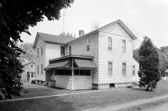
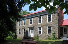
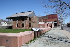
Block
BlockFrom the record
40 National Register listings published here, 2 of them National Historic Landmarks.
Sources: the National Register database, National Park Service
126 topographic sheets cover 56 settlements here, and 40 properties are on the National Register of Historic Places.
40 National Register listings published here, 2 of them National Historic Landmarks.
Sources: the National Register database, National Park Service
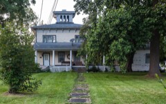
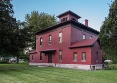
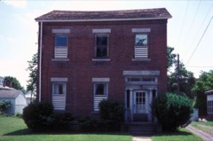
Every property in this county listed on the National Register of Historic Places, with the year it was listed and the federal nomination document.
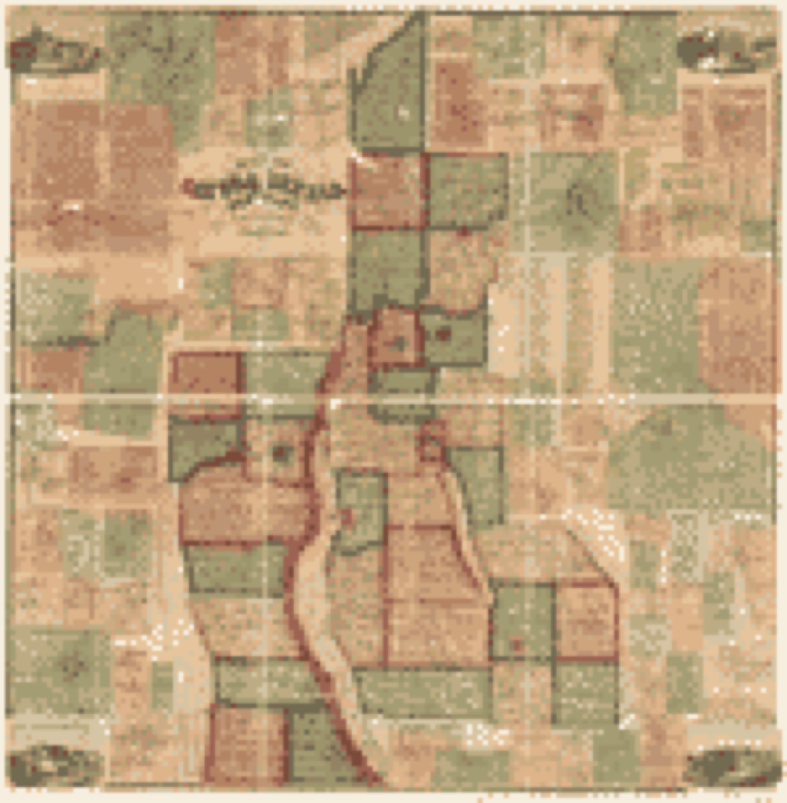
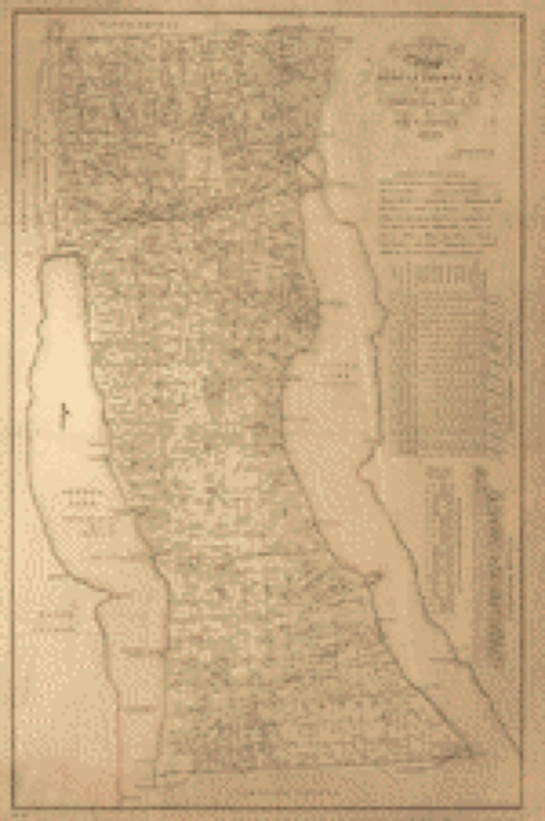
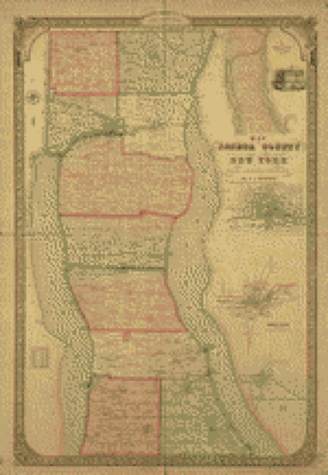
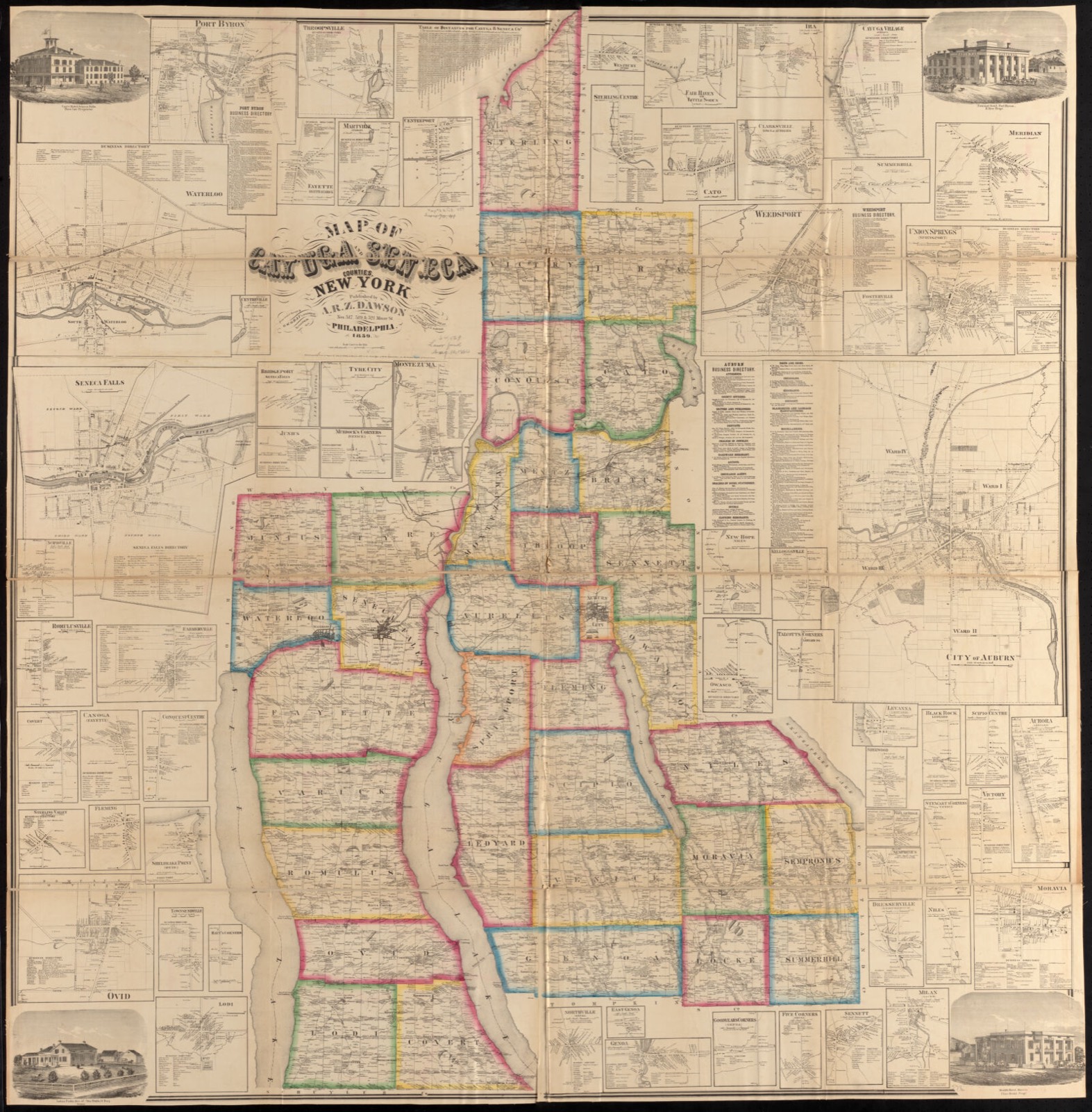
Drawn when these were printed as single large sheets: the town seen from the air, and the county divided into its farms with every owner named. Each opens the original at the Library of Congress.


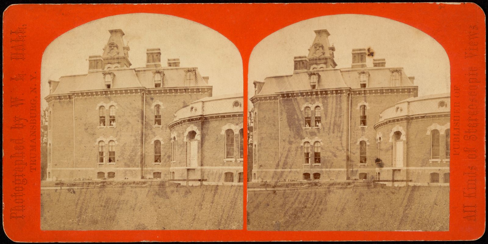
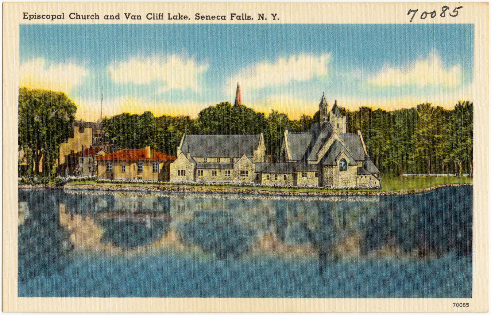
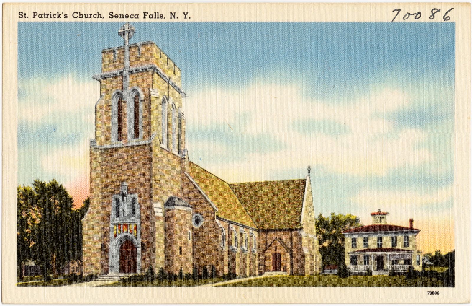
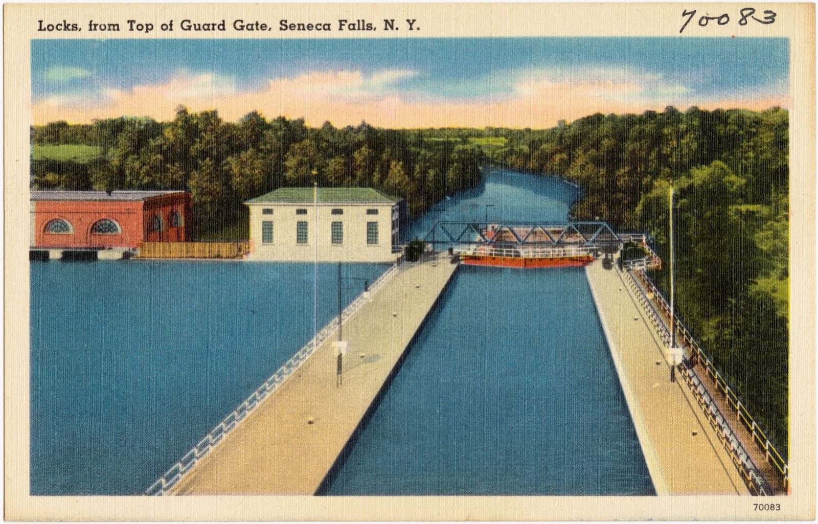
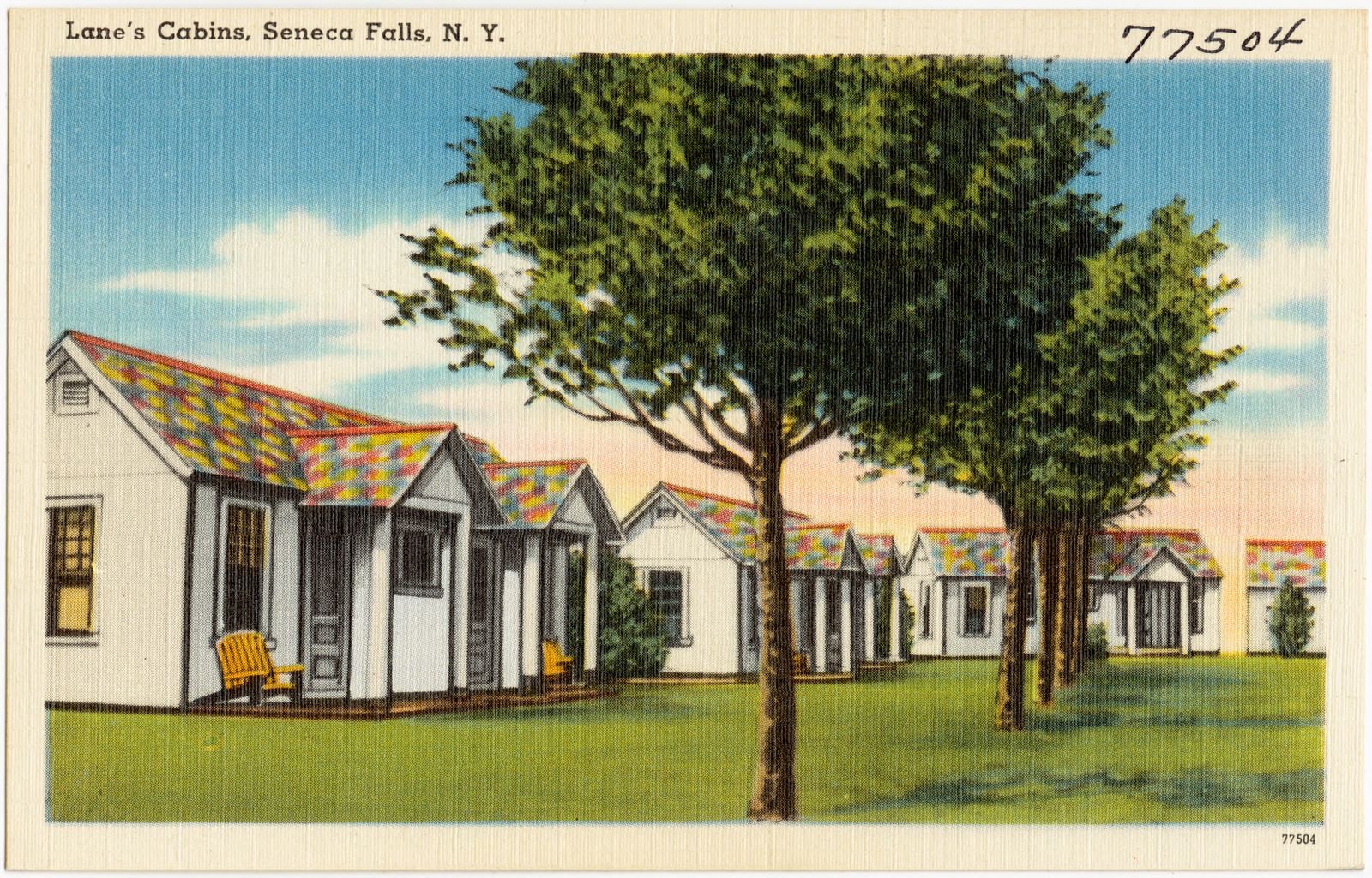
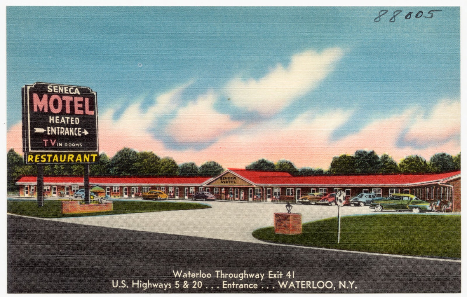
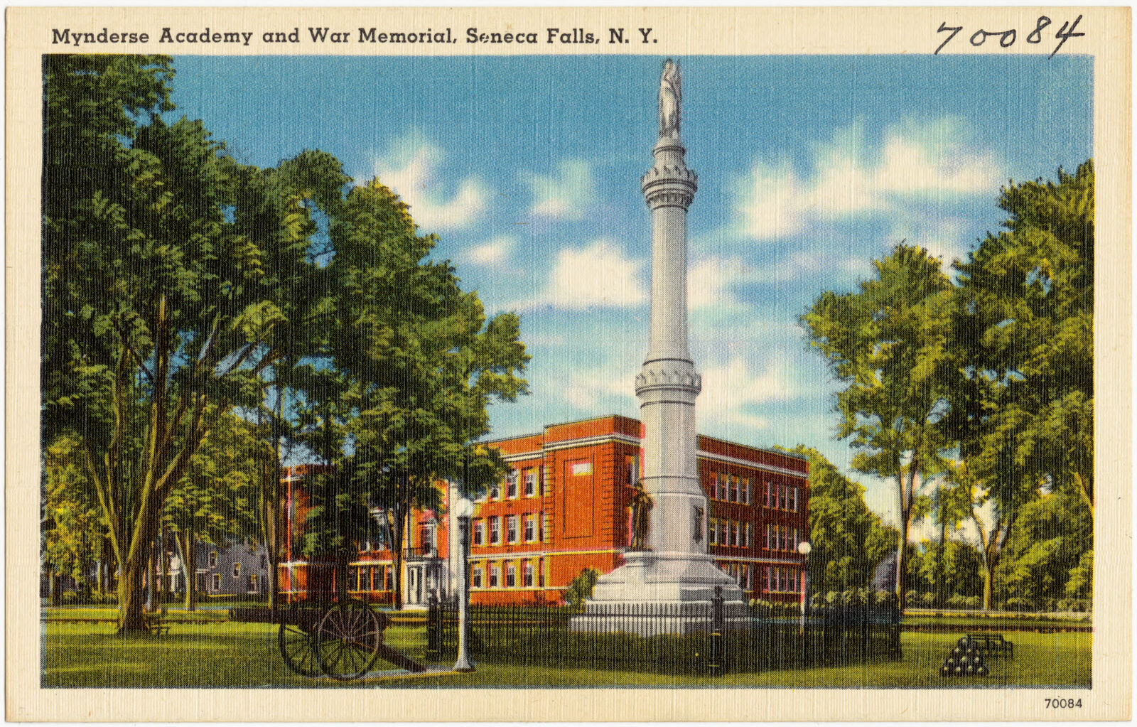
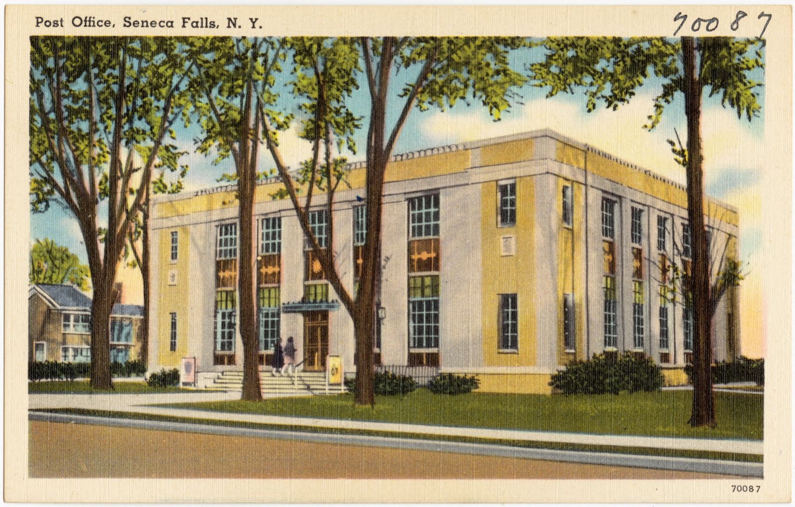
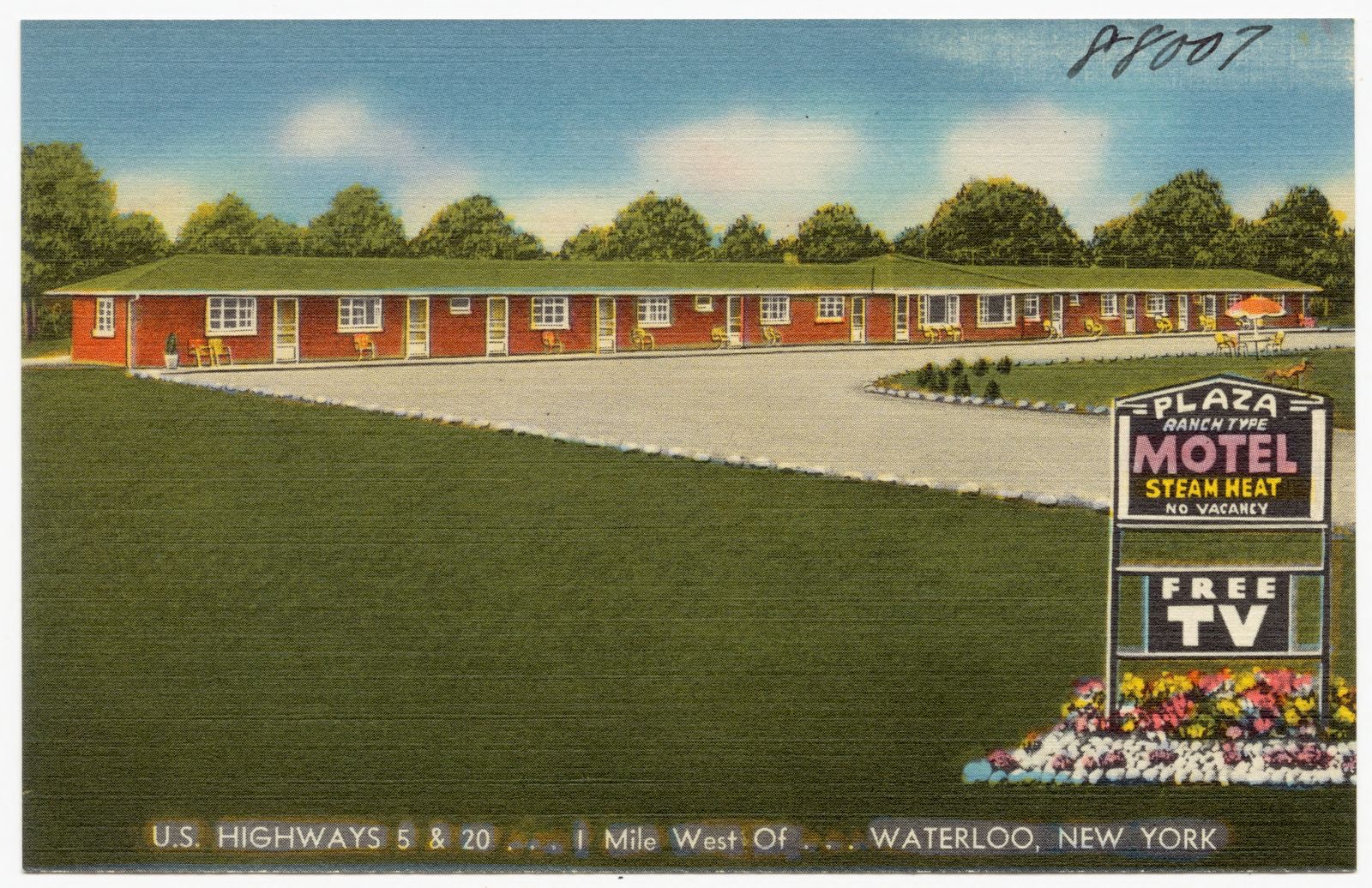
Selected from the Digital Public Library of America's 22 image records catalogued for this county. Every one shown here carries a public-domain status or a licence that permits reuse on a site that carries advertising; non-commercial, share-alike and restricted images are excluded. The selection is spread across the county's towns (at most eight per town), so no single institution's bulk upload crowds out the rest. Each opens the holding library's record, and the complete set at the Digital Public Library of America is one click away.


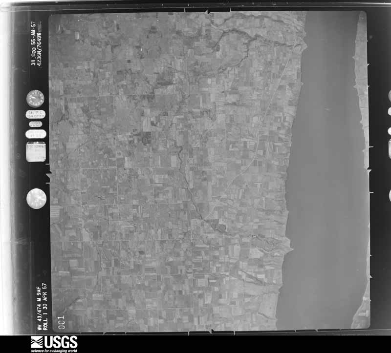
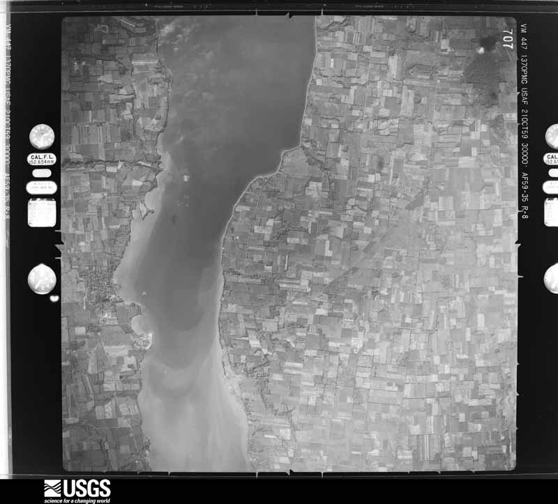
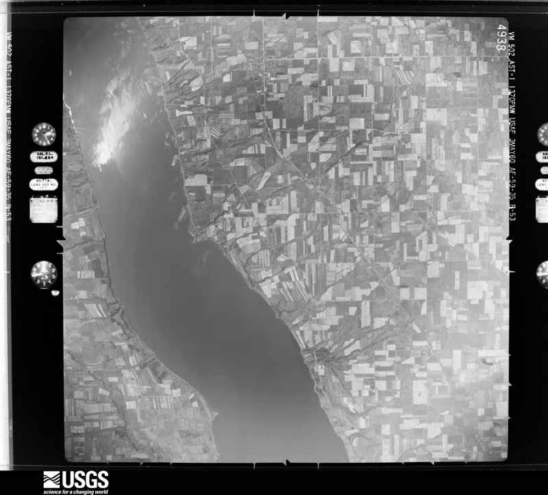
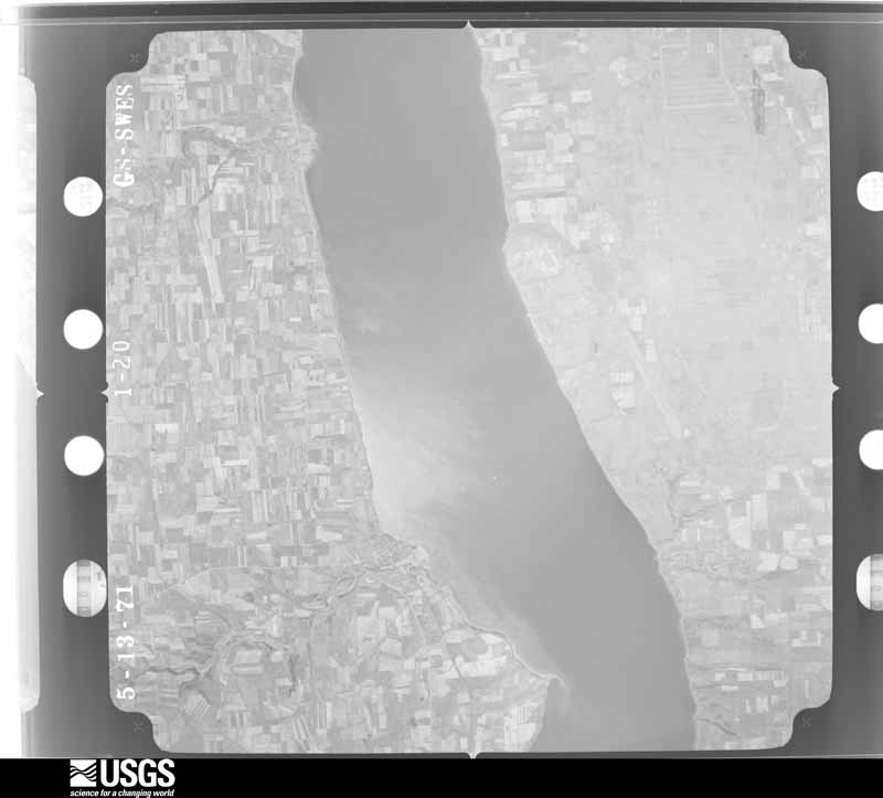
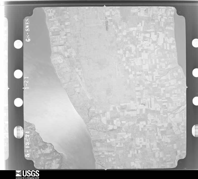
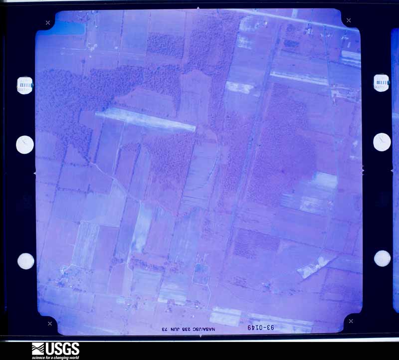
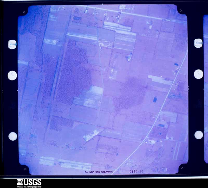
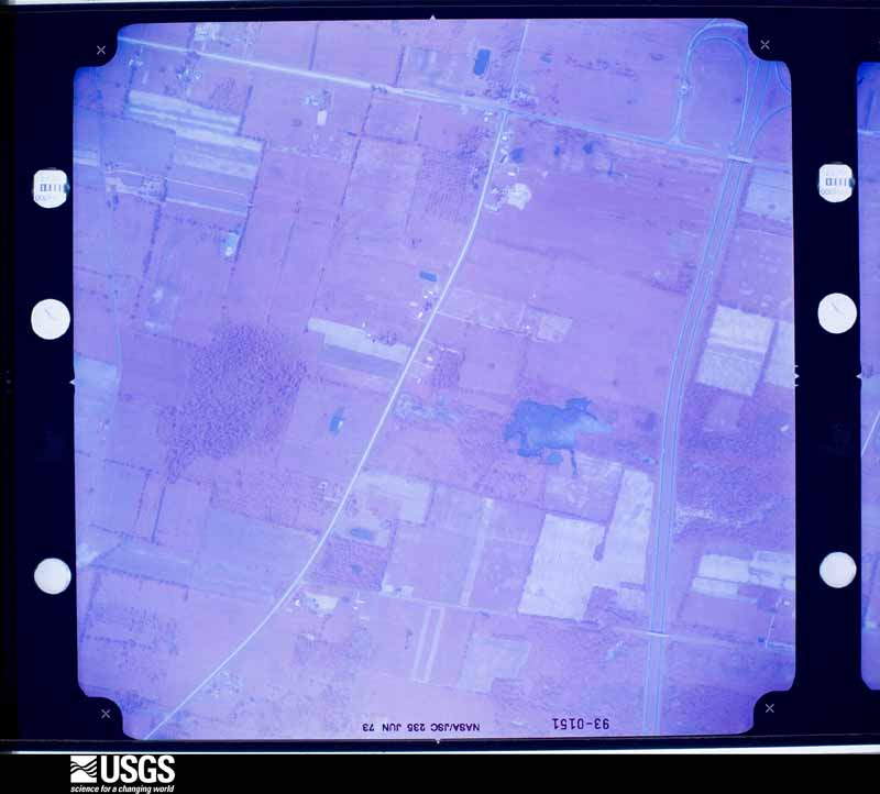
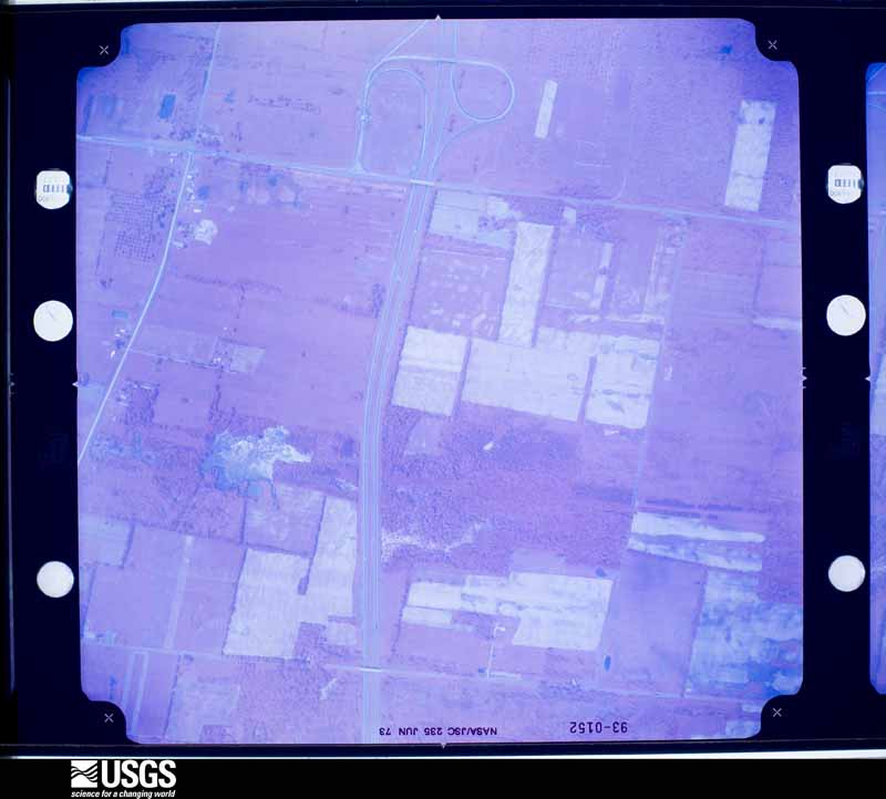
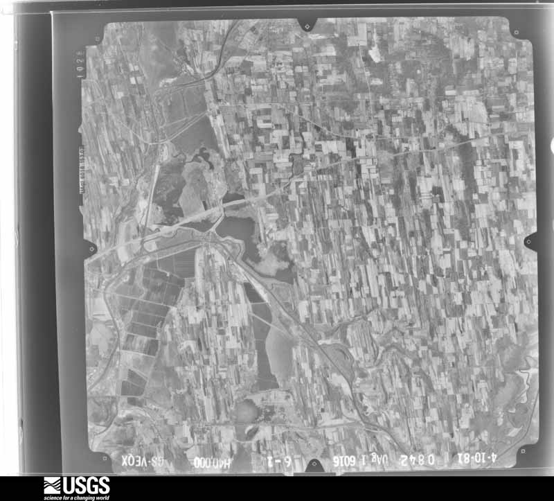
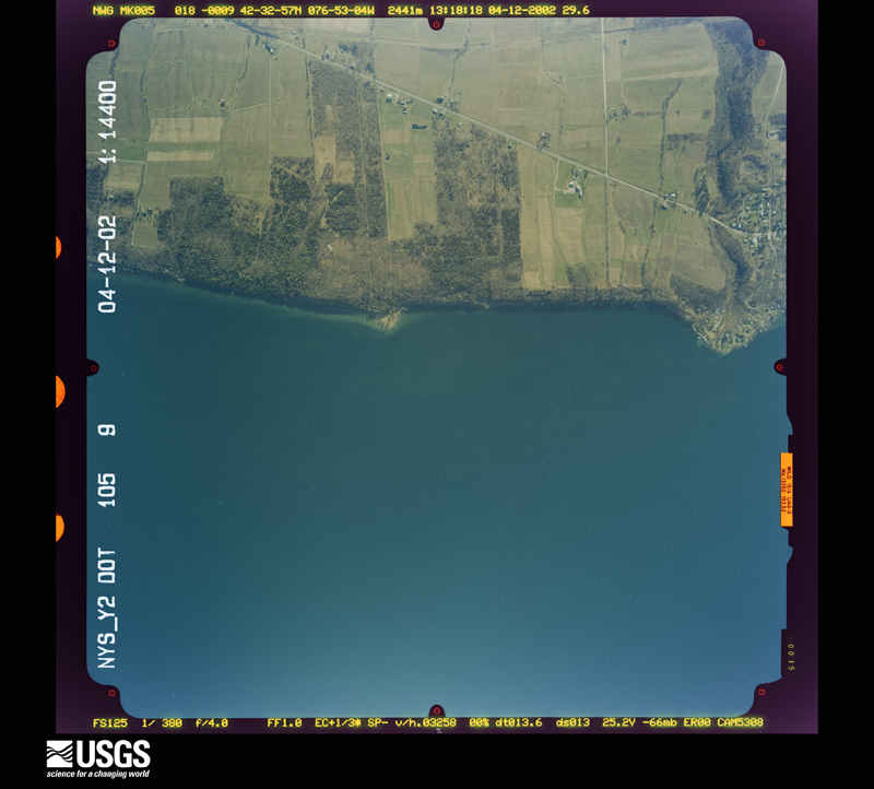
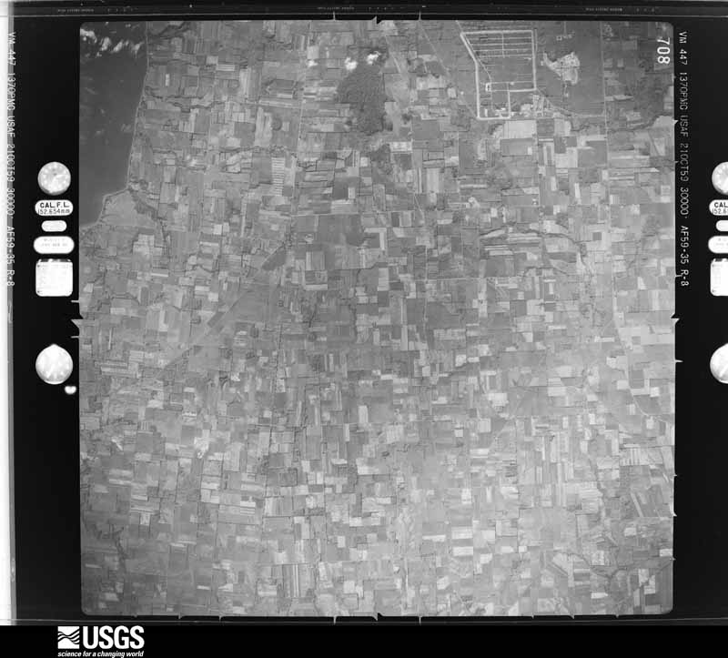
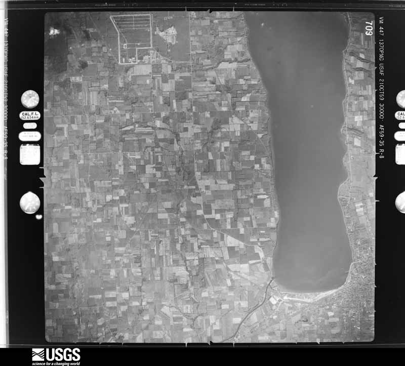
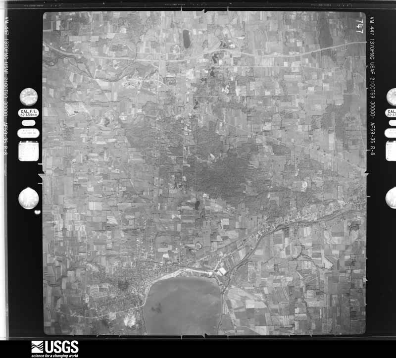
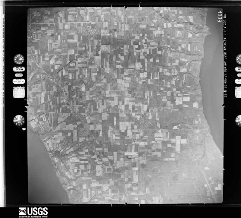
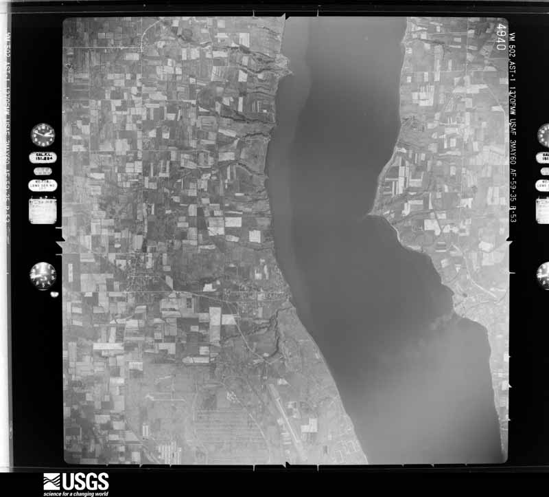
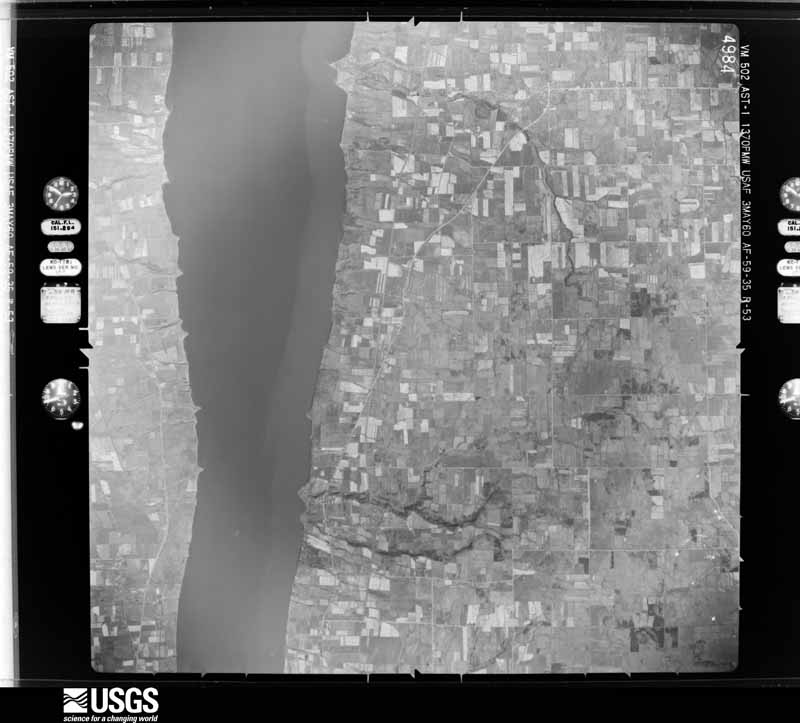
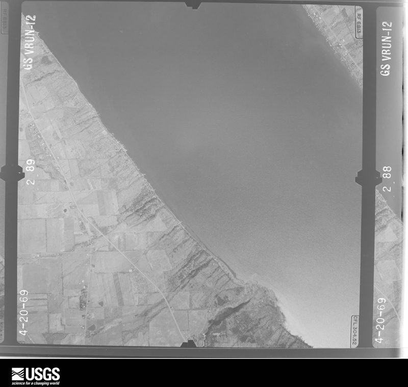
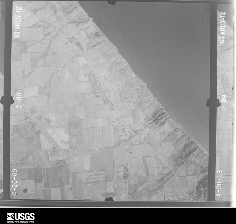
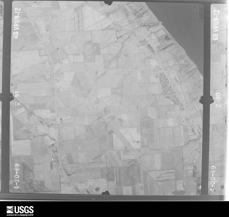
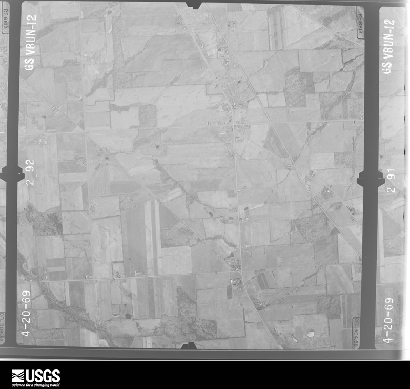
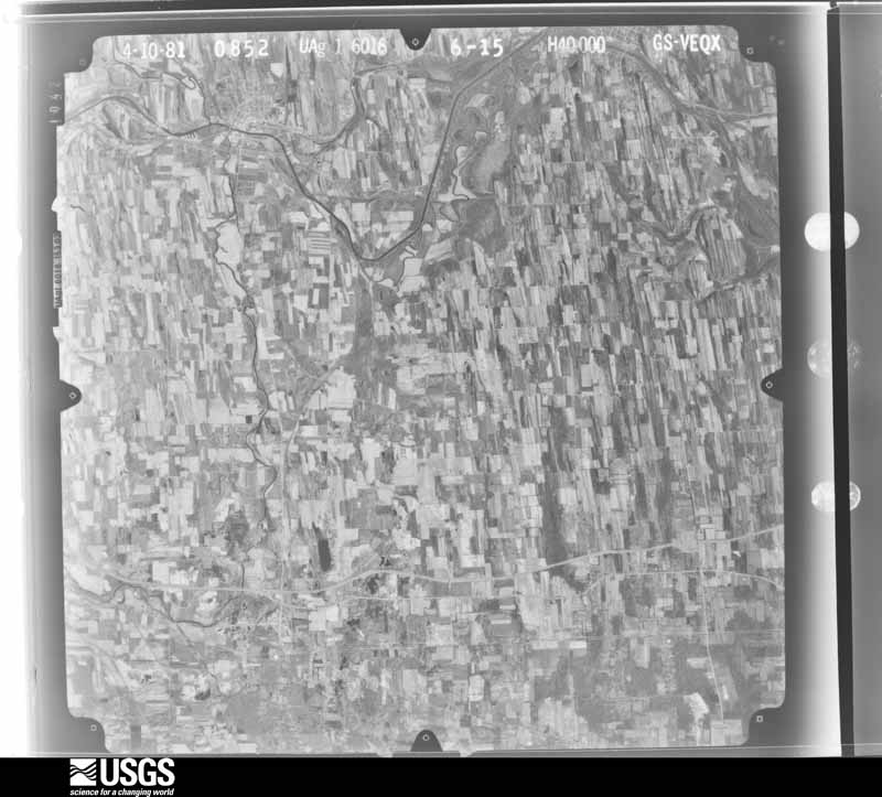
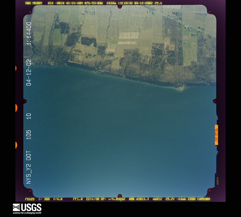
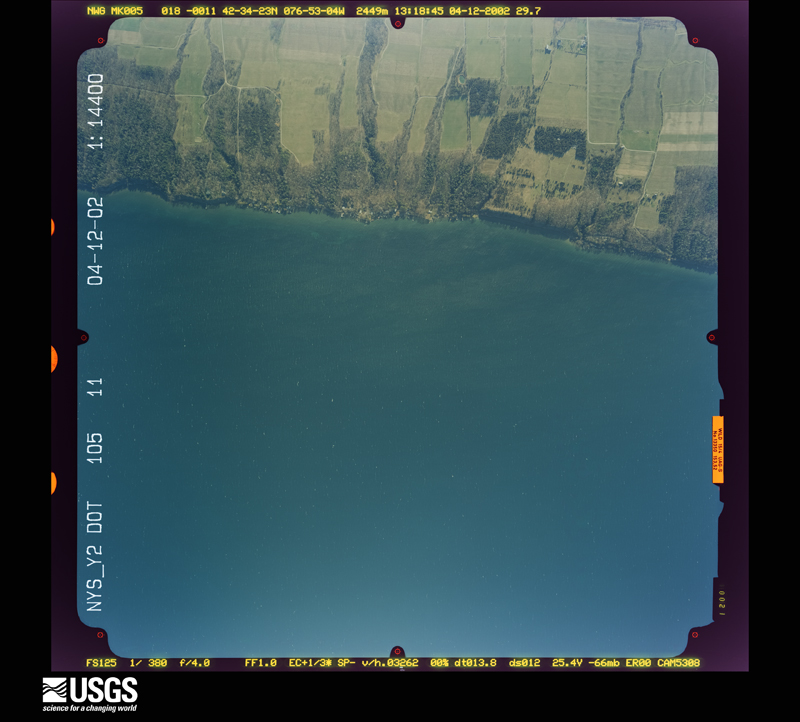
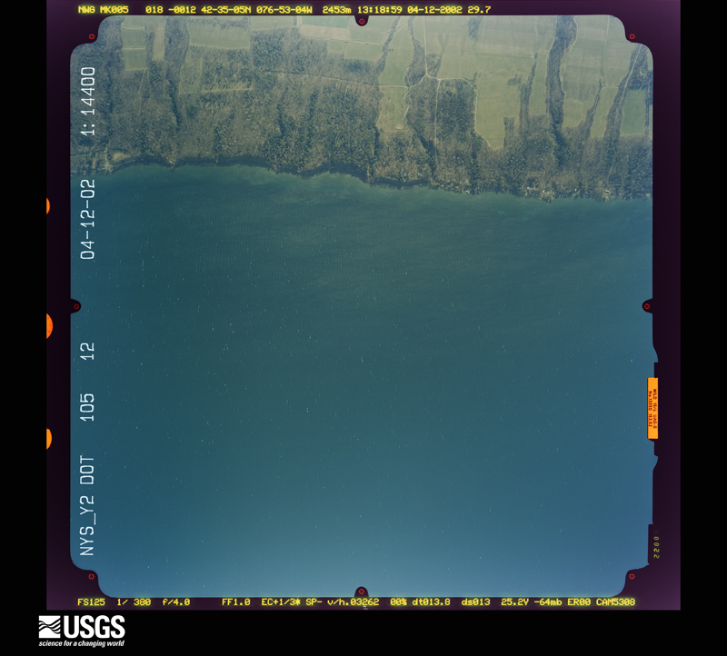
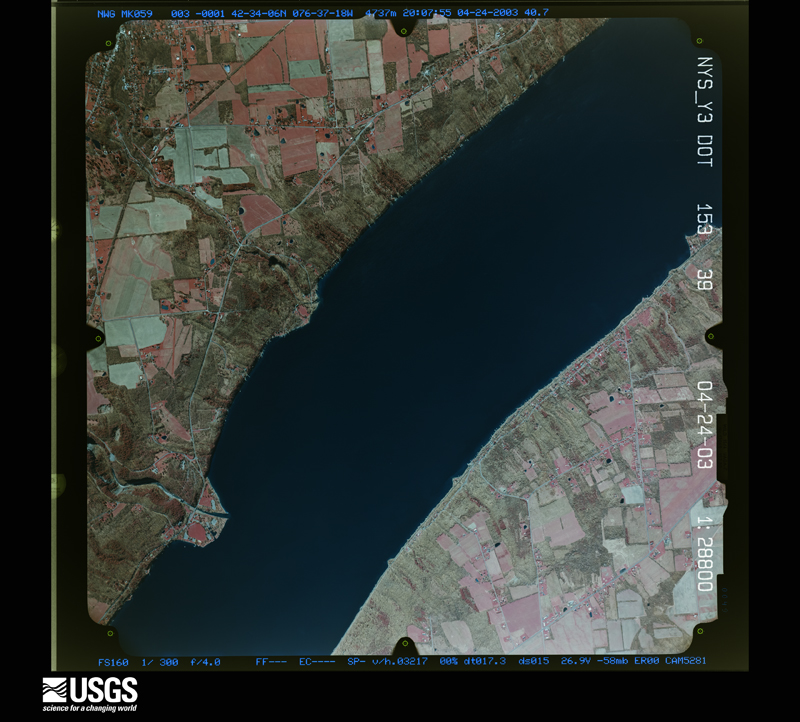
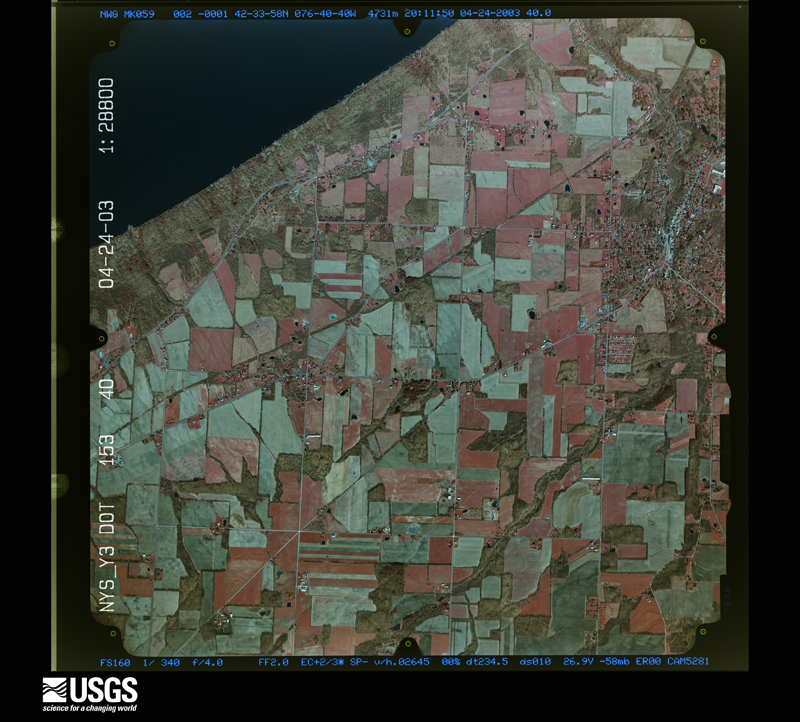
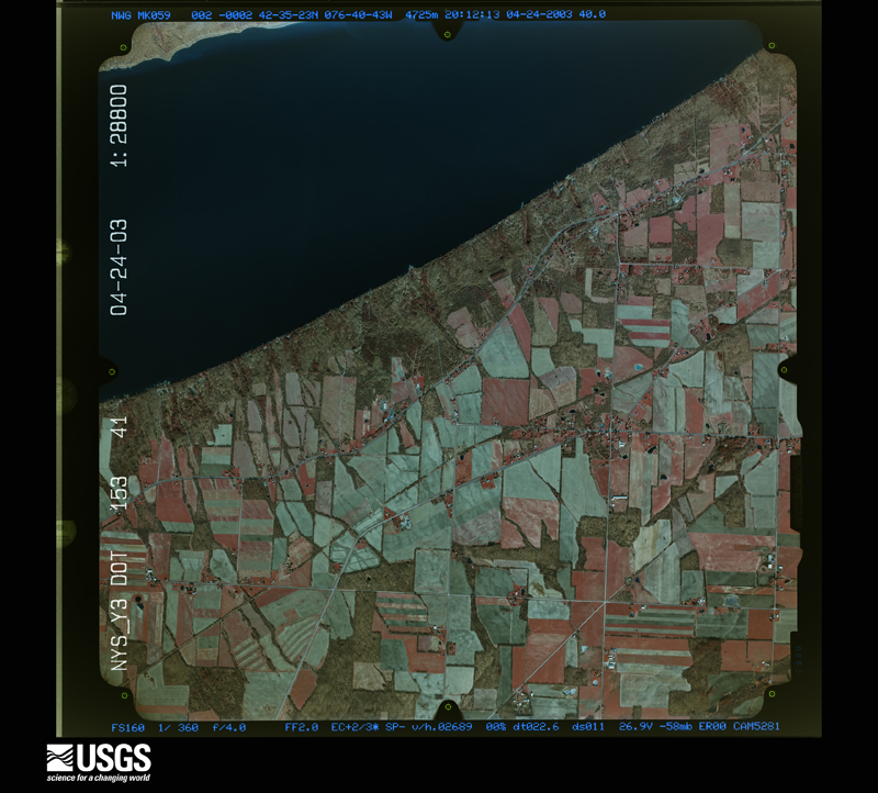
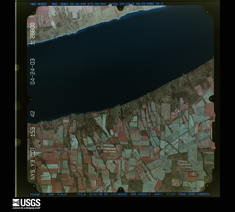
Flown by the U.S. Geological Survey between 1937 and 1989, the Aerial Photo Single Frames collection is the definitive mid-century view of the land: fields, roads and rivers as the camera saw them. The Survey holds 923 frames inside the rectangle that bounds this county; the 31 frames below were taken over the county itself, chosen across the decades of flights (at most four a year from that rectangle), so one flight cannot crowd out the rest. The full set is free to browse and download at EarthExplorer under the dataset Aerial Photo Single Frames.


The thermometers that kept this county's weather, and the gages that measured the flow of its streams, as the federal records hold them. The extremes below are measured values from those records, not estimates.
Who lived here in 1950, one enumeration district at a time, as the Census Bureau described each district. Each row opens its official National Archives result, with Population Schedules and ED Maps available there.
Every wildfire the federal occurrence database records inside this county: 321 of them, burning about 1,005 acres. 25 started naturally and 73 were recorded as arson. Each settlement page carries the fires within five miles of it.
| Reported cause | Fires |
|---|---|
| Missing data/not specified/undetermined | 136 |
| Arson/incendiarism | 73 |
| Debris and open burning | 54 |
| Natural | 25 |
| Equipment and vehicle use | 16 |
| Smoking | 10 |
| Recreation and ceremony | 4 |
| Misuse of fire by a minor | 2 |
| Power generation/transmission/distribution | 1 |
The five largest, by the area the report gives. Five of them were set deliberately.
| Date | Cause | Size | Reported by | Name on the report |
|---|---|---|---|---|
| 4 April 2010 | Missing data/not specified/undetermined | 694 acres | Montezuma National Wildlife Refuge | NY MZR WF 10 DRY MARSH |
| 19 April 2001 | Arson/incendiarism | 10 acres | New York Forest Rangers | not named |
| 28 April 2001 | Debris and open burning | 8.0 acres | New York Forest Rangers | not named |
| 14 April 2016 | Arson/incendiarism | 6.3 acres | Fire Department of New York | N/A |
| 26 June 2016 | Arson/incendiarism | 6.3 acres | Fire Department of New York | N/A |
| 4 July 2016 | Arson/incendiarism | 6.3 acres | Fire Department of New York | N/A |
| 26 September 2016 | Natural | 6.3 acres | Fire Department of New York | N/A |
| 8 May 2016 | Arson/incendiarism | 6.3 acres | Fire Department of New York | N/A |
Every settlement page carries the fires within five miles of it - see the settlement index below.
The NOAA Storm Events Database holds 209 reports for this county, causing no deaths, 2 injuries and about $3,877,600 in recorded property damage. Each settlement page carries the reports that name it.
| Kind of event | Reports |
|---|---|
| Thunderstorm Wind | 138 |
| Hail | 41 |
| Flash Flood | 23 |
| Flood | 4 |
| Funnel Cloud | 1 |
| Tornado | 1 |
| Lightning | 1 |
The most serious of them, by death, then injury, then recorded damage. The accounts are quoted exactly as the forecast office filed them.
| When | Event | Place named | Harm | What the report says |
|---|---|---|---|---|
| May 2012 | Thunderstorm Wind | Rose Hill | 1 hurt, $30,000 | The path of the storm started along route 96A in the town of Fayette, just east of Seneca Lake. Here a barn was destroyed with estimated wind speeds of 80 to 90 mph. Scattered damage continued to the northeast through the town of Fayette across route 96 near Christler Road. Here a tractor trailer was blown off the road as|it was traveling along route 96. This is where the 1 injury occurred. Partial roof damage was noted to a barn, with significant hail damage to the west side of a house due to the high wind speeds. Estimated wind speeds in this area were between 70 and 80 mph.||A scattered path of damage continued northeast through Seneca Falls and across Cayuga Lake into the town of Aurelius. Numerous tree branches were down throughout these areas with winds generally around 60 mph. Just east of Cayuga Lake in the town of Aurelius, along route 90, some isolated areas had uprooted trees. In these areas, wind speeds were estimated to be between 70 and 80 mph.||The pattern of damage was consistent with a microburst in that the damage of the trees was layed out in a divergent or a fan shaped pattern. |
| September 1984 | Thunderstorm Wind | not stated | 1 hurt | no account filed |
| August 2018 | Flash Flood | Lodi Station | $1,200,000 | Severe flash flooding occurred in this area. The entire cliff side was washed away into Seneca Lake. Multiple water rescues and evacuations were in progress. A woman was trapped in the wreckage of her home, and was rescued from the lake by small boat. |
| January 1996 | Flash Flood | Countywide | $500,000 | no account filed |
| September 1998 | Thunderstorm Wind | Waterloo | $250,000 | A long lived severe convective wind system or derecho moved into northern portions of the county just before 100 am EDT. These same storms had caused considerable damage upstream in the Rochester area. Widespread wind damage occurred in the town of Waterloo and also across Seneca Falls. Most of the damage was in the form of downed trees and power lines. From approximately 1255 am to 110 am EDT, the town of Waterloo experienced strong damaging winds and large hail. Many roads in the center of town had to be closed through the morning hours on Labor Day as crews worked to clear fallen trees, live wires, and damaged traffic signals. Downstream in Seneca Falls, similar damage was reported. Just before 120 am EDT, a swath of trees was blown down on the western shores of Cayuga Lake and inflicted minor damage on several small boats anchored in the vicinity. Several vacation homes in this area incurred minor roof and siding damage from large tree limbs which succumbed to the wind. |
| April 2004 | Thunderstorm Wind | Countywide | $200,000 | Thunderstorm winds blew down trees and wires especially on the east side of Seneca Lake. In Romulus a radio tower was bent over onto a building. Minor property damage occurred. Some utility poles were blown over or damaged. |
| October 2021 | Flash Flood | Seneca Falls | $150,000 | Widespread flash flooding occurred throughout the city. |
| August 2021 | Flash Flood | Ovid | $140,000 | Severe flash flooding caused a structure to collapse. |
| August 2018 | Flash Flood | Lodi Station | $125,000 | Many vehicles and seasonal campers washed down Mill Creek. |
| August 2014 | Flash Flood | Fayette | $125,000 | Water was flowing over numerous roads and into several basements throughout the central part of the county, including the hardest hit area of Fayette. |
| October 2021 | Flash Flood | Waterloo | $100,000 | Numerous roads, and a few homes, were flooded throughout the village. Many roads were closed and a State of Emergency was in effect for the area. |
| August 2003 | Flash Flood | Ovid | $100,000 | Slow-moving thunderstorms produced flash flooding of numerous roads, culverts, and low lying underpasses in southern Seneca County. A state of emergency was declared in Seneca County due to the flash flooding as many roads were either flooded or impassable. The flooding included the towns of Covert and Ovid, and the village of Interlaken. There were several flooded basements in the town of Ovid. An estimated 3 to 4 inches of rain fell. |
| November 1996 | Flash Flood | Countywide | $100,000 | no account filed |
| August 2018 | Flash Flood | Lodi Station | $50,000 | Numerous roads were flooded across southern Seneca county. |
| April 2005 | Flash Flood | Countywide | $50,000 | no account filed |
| July 1997 | Thunderstorm Wind | Fayette | $40,000 | An isolated thunderstorm reached severe levels briefly along Cayuga Lake in eastern portions of the county. Strong winds downed many trees and power lines. Falling tree limbs caused minor damage to some boats anchored near the docks. |
| June 1998 | Thunderstorm Wind | Sheldrake | $35,000 | The severe thunderstorm that produced damage a bit earlier in the evening across Yates county continued eastward into Seneca county and remained severe. Trees were uprooted and several homes sustained roof damage in Sheldrake. |
| August 2021 | Flash Flood | Ovid | $30,000 | Widespread flooding occurred throughout the streets of Ovid. |
| July 2008 | Lightning | Seneca Falls | $25,000 | Two house fires were caused by lightning. |
| July 2024 | Thunderstorm Wind | Sheldrake Spgs | $20,000 | A core of a supercell thunderstorm moved over this location creating strong, damaging microburst winds. The strongest rotational core moved south of this location with eye witnesses reporting a funnel cloud moving over nearby Cayuga Lake. The most intense damaged observed was to a cattle barn, where the roof and wall structure was lofted approximately 250 feet eastward; maximum wind speeds were estimated here at 80 mph. Surrounding damage included numerous large tree branches snapped and few uprooted trees. |
| April 2023 | Flood | Seneca Falls | $20,000 | Numerous basements were flooded in the immediate Seneca Falls area. |
| June 2021 | Thunderstorm Wind | Seneca Falls | $20,000 | Strong thunderstorm winds knocked down a tree through a house. |
| June 2015 | Thunderstorm Wind | Romulus | $20,000 | A severe thunderstorm moved across the area which resulted in several trees falling down across the area. Two homes were damaged due to falling trees. |
| June 2015 | Thunderstorm Wind | East Varick | $20,000 | A severe thunderstorm moved over the area and produced severe winds which resulted in multiple trees, wires and limbs down over the area. |
| September 2012 | Thunderstorm Wind | Lodi | $20,000 | A barn was damaged in Lodi on Keady Road. A 40 x 200 foot tin roof was blown off the barn and landed in the road. A house was damaged due to numerous trees that fell on it. |
| May 1998 | Thunderstorm Wind | Covert | $20,000 | A severe thunderstorm moved across the southern part of the county during the mid afternoon. Large trees and power poles were blown down in Covert at 3:00 pm EDT. |
| April 2025 | Thunderstorm Wind | Hayts Corners | $16,500 | Strong thunderstorm winds snapped a power pole on Route 96 near the shared border of the towns of Romulus and Ovid. This is from the second severe storm that passed through the area. |
| April 2023 | Flood | Border City | $15,000 | Basements in the area were reported to be flooded. |
| May 2014 | Flash Flood | Ovid | $15,000 | A road was washed out on County Route 131. |
| June 2024 | Thunderstorm Wind | Border City | $13,500 | Strong thunderstorm winds knocked down trees and wires and snapped a power pole. |
| May 1996 | Thunderstorm Wind | Waterloo | $12,000 | no account filed |
| July 2020 | Thunderstorm Wind | Waterloo Povero Arpt | $10,000 | Strong thunderstorm winds brought down trees and wires along Miller Road. |
| August 2020 | Thunderstorm Wind | Seneca Falls | $10,000 | Strong thunderstorm winds brought down trees and wires on Boston Avenue. |
| August 2020 | Thunderstorm Wind | Seneca Falls | $10,000 | Strong thunderstorm winds brought down trees and wires on Lake Road. |
| July 2018 | Thunderstorm Wind | Waterloo | $10,000 | Strong thunderstorm winds knocked down trees and wires on Inslee Street. |
| August 2018 | Flash Flood | Lodi | $10,000 | Swift water rescues were in progress for people trapped in houses near Lodi. |
| August 2014 | Flash Flood | Seneca Falls Arpt | $10,000 | State route 89 was flooded. |
| May 2013 | Thunderstorm Wind | Fayette | $10,000 | Numerous trees, power poles and electrical lines were blown down in and around Fayette by thunderstorm winds. |
| June 2007 | Tornado (EF1) | Sheldrake | $10,000 | A National Weather Service storm survey team found a swath of wind damage in southeastern Seneca County, within the Sheldrake area of the town of Ovid. The pattern of damage was consistent with that of an EF-1 tornado on the Enhanced Fujita Scale. The degree of damage, which consisted mainly of snapped off and uprooted trees, indicated that maximum wind speeds were around 90 mph. ||The tornado touched down in Sheldrake, near the northern end of Wyers Point Road, just east of State Route 89 and near the western shore of Cayuga Lake at about 3:46 pm EDT. The tornado then tracked southeast for about 1.5 miles, nearly parallel to both Wyers Point Road and the Cayuga Lake shoreline. The observed damage had a width of up to about 100 yards. Numerous trees sustained damage along this path length. Several very large trees were uprooted, and many more were snapped off. Utility poles in this same vicinity were either knocked down or sheared off. The orientation of the tree damage suggested a pattern of cyclonic rotation. Eyewitness accounts also detail both violently rotating debris just above ground level, and visual sighting of a funnel down to the surface near the shoreline. Any observed structural damage was relatively minor. A metal road sign was uprooted and blown across County Route 139, and a garage just off Wyers Point Road sustained roof damage from fallen trees. The tornado eventually crossed County Route 139 before emerging over the waters of Cayuga Lake between 3:50 and 3:55 pm EDT. ||At that point, evidence suggests that the tornado lifted back toward the cloud base over the open waters of Cayuga Lake. One eyewitness account from the King's Ferry Fire Station, which was about 2 miles east of the storm at this time, sighted a funnel cloud over Cayuga Lake, with the funnel observed to be well above the surface of the water. |
| June 2005 | Thunderstorm Wind | Waterloo | $10,000 | Thunderstorm winds downed trees and wires. |
| June 2005 | Thunderstorm Wind | Seneca Falls | $10,000 | Thunderstorm winds downed trees and wires. |
| August 2004 | Thunderstorm Wind | Interlaken | $10,000 | Thunderstorm winds downed numerous trees. |
| July 1999 | Thunderstorm Wind | Ovid | $10,000 | Several trees and powerlines blown down across the southern part of the county. |
| May 1998 | Thunderstorm Wind | Waterloo | $10,000 | A cluster of developing severe thunderstorms moved through central and southern portions of the county. Numerous trees and wires were downed in Waterloo at approximately 6:07 pm EDT. |
| July 1997 | Thunderstorm Wind | Ovid | $10,000 | A thunderstorm quickly became severe over southern portions of Seneca county. Downed trees and wires were reported in the town of Ovid. The cell weakened below severe limits a short time later. |
| May 2013 | Hail | Waterloo Povero Arpt | $10,000 | no account filed |
| August 2007 | Hail | Romulus | $10,000 | no account filed |
| July 1995 | Thunderstorm Wind | Ovid | $7,000 | no account filed |
| May 1996 | Thunderstorm Wind | Sheldrake | $6,000 | no account filed |
| April 2025 | Thunderstorm Wind | Tyre | $5,000 | Strong thunderstorm winds knocked down numerous trees and wires across several roads in the town of Tyre, including Gravel Road, Pucker Road, Black Brook Road and others. |
| June 2025 | Flash Flood | Covert | $5,000 | Water and debris were reported over roadways in the area. |
| July 2025 | Thunderstorm Wind | Romulus | $5,000 | Strong thunderstorm winds knocked down several trees and wires in Romulus. |
| July 2024 | Thunderstorm Wind | Waterloo | $5,000 | Strong thunderstorm winds knocked down trees. One large tree fell onto a home. Unknown if there were any injuries. |
| June 2024 | Thunderstorm Wind | Ovid Arpt | $5,000 | Strong thunderstorm winds knocked down multiple trees on the road. |
| April 2023 | Flood | Border City | $5,000 | Street and road flooding was occurring. Vehicles were stuck in water. |
| June 2023 | Thunderstorm Wind | Border City | $5,000 | Strong thunderstorm winds knocked down a tree onto a mobile home. |
| June 2023 | Thunderstorm Wind | Mac Dougall | $5,000 | Strong thunderstorm winds knocked down a tree and wires down onto a vehicle along East Lake Rd. There was at least one person trapped in the vehicle. It was unknown if there were any injuries. |
| June 2023 | Thunderstorm Wind | Mac Dougall | $5,000 | Strong thunderstorm winds knocked down several trees and wires along and near Route 96A. |
| July 2022 | Thunderstorm Wind | Interlaken | $5,000 | Strong thunderstorm winds knocked down a tree and lines on Holten Beach Road. |
| June 2021 | Thunderstorm Wind | Bridgeport | $5,000 | Strong thunderstorm winds knocked down multiple trees blocking a road. |
The Survey's mineral resources record lists 5 workings inside this county. 2 still produce and 3 are closed or unrecorded. Each settlement page carries the workings within five miles of it.
| Commodity | Workings |
|---|---|
| Salt | 2 |
| Limestone, General | 1 |
| Sand and Gravel, Construction | 1 |
| Stone, Crushed/Broken | 1 |
The least common of them first, because a county's hundredth gravel pit says nothing its first ten did not.
| Where | Site | Commodity | Status | Recorded |
|---|---|---|---|---|
| Devils Gulch Pit | Sand and Gravel, Construction | Producer | ||
| Seneca Quarry | Stone, Crushed/Broken | Producer | ||
| Seneca Quarry and Plant | Limestone, General | Past Producer | Sedimentary | |
| Carrie Chapman No.1 Well | Salt | Past Producer | ||
| Seneca Falls Well No.12 | Salt | Past Producer |
Named settlements recorded in the Geographic Names Information System, each with the topographic sheets covering it. Villages, hamlets and abandoned places alike. Each is shown with the nearest named watercourse or landform and the survey quadrangle it falls on.
Seneca Falls town · 13148 · On Demont Creek · Seneca Falls quadrangle
24 sheets, 1902 to 1986
Covert town · 14886 · On Trumansburg Creek · Trumansburg quadrangle
23 sheets, 1902 to 1986
Waterloo town · 13165 · On Kendig Creek · Geneva North quadrangle
23 sheets, 1902 to 1986
Seneca Falls town · 13148 · On Sampson Creek · Seneca Falls quadrangle
24 sheets, 1902 to 1986