 Block
BlockAmes, New York
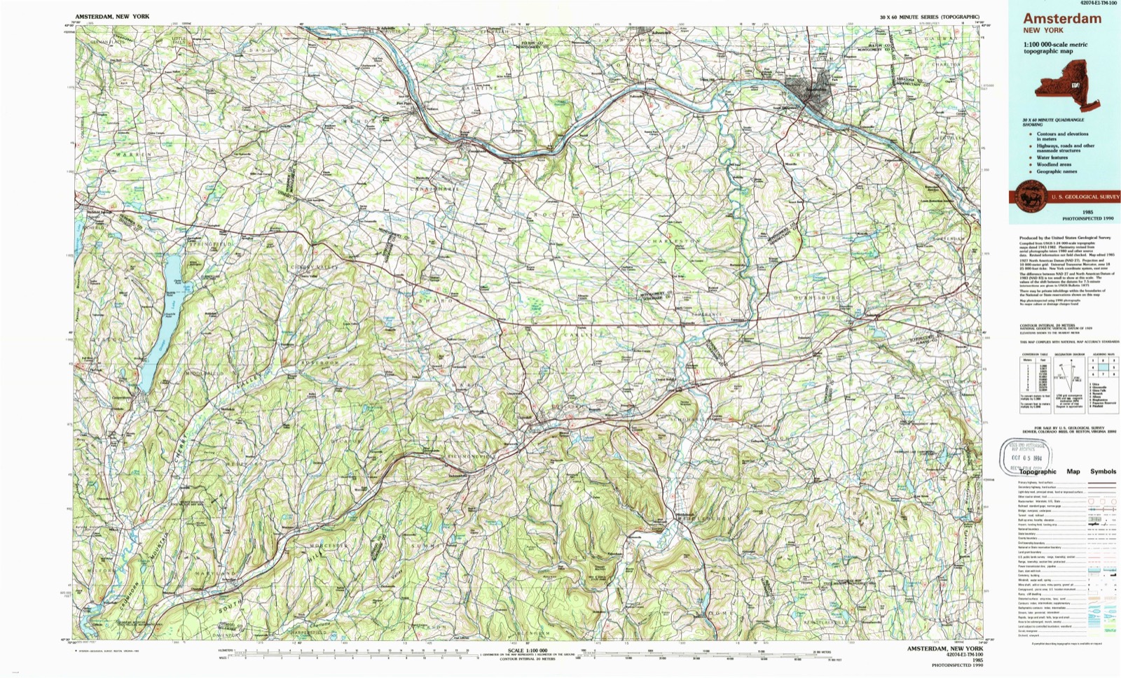
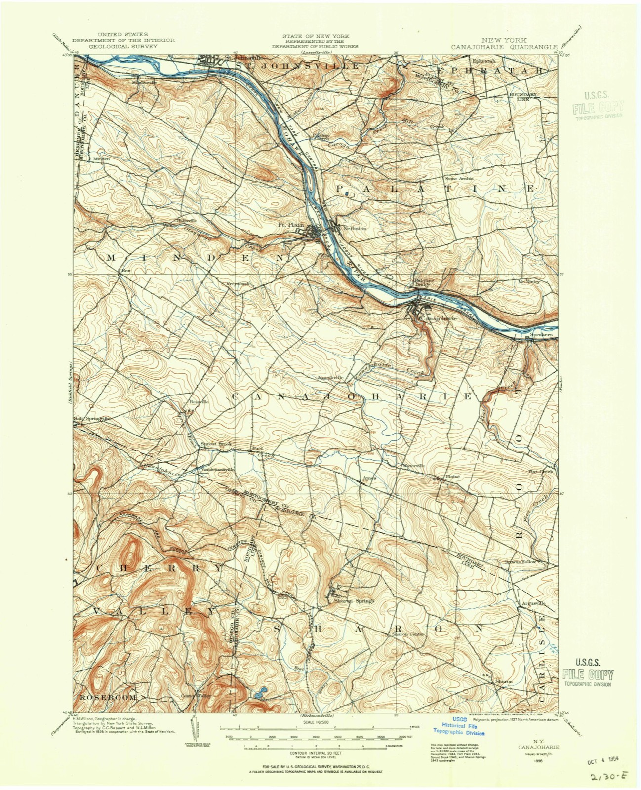
18 topographic sheets cover this place, the earliest surveyed in 1898 and the latest in 1985. It stands in Canajoharie town. It lies in ZIP code area 13317. It stands on Brimstone Creek. The Survey maps it on the Sharon Springs quadrangle.
Then and now
1898 to 1985The same ground, surveyed 87 years apart. Drag the handle to wipe between them. Both sheets are United States Geological Survey originals; neither has been altered.
On record in Ames
Buildings and businesses the archive holds for this place. Each opens its own page, with the source record it came from.
On the National Register 1 record
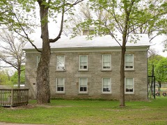 Ames Academy Buildinglisted 2002
Topographic sheets covering this place
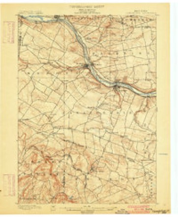
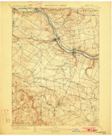
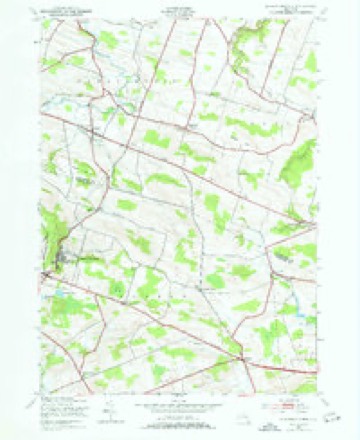
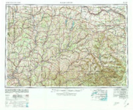
9 surveys from 18 printed sheetsMatched by testing this settlement's coordinate against the published boundary of every sheet in the United States Geological Survey's historical collection. Each opens the scanned sheet at the Survey.
- 1898 USGS Canajoharie quadrangle1:62500
- 1900 USGS Canajoharie quadrangle1:62500
- 1902 USGS Canajoharie quadrangle1:62500, 6 printings
- 1943 USGS Sharon Springs quadrangle1:24000, 3 printings
- 1948 USGS Binghamton quadrangle1:250000
- 1950 USGS Binghamton quadrangle1:250000, 2 printings
- 1958 USGS Binghamton quadrangle1:250000
- 1963 USGS Binghamton quadrangle1:250000
- 1985 USGS Amsterdam quadrangle1:100000, 2 printings
Fires near this place
65 since 1999Regional context, not property-specific evidence. The federal wildfire occurrence database lists 65 fires within 5 miles of Ames between 1999 and 2020, burning about 130 acres in total. 4 started naturally. 19 were recorded as arson. Distance is straight-line from the map coordinates, so a fire counted here may appear on a neighbouring settlement's page as well.
| Reported cause | Fires |
|---|---|
| Missing data/not specified/undetermined | 27 |
| Arson/incendiarism | 19 |
| Debris and open burning | 12 |
| Natural | 4 |
| Misuse of fire by a minor | 1 |
| Smoking | 1 |
| Equipment and vehicle use | 1 |
The most recent of them, most recent first, with the day each was reported and the service that recorded it.
| Date | Cause | Size | Reported by | Name on the report |
|---|---|---|---|---|
| 8 September 2006 | Missing data/not specified/undetermined | under an acre | Fire Department of New York | not named |
| 5 September 2001 | Debris and open burning | under an acre | Fire Department of New York | not named |
| 3 September 2016 | Natural | under an acre | Fire Department of New York | N/A |
| 15 September 2009 | Missing data/not specified/undetermined | under an acre | Fire Department of New York | not named |
| 27 August 2003 | Missing data/not specified/undetermined | under an acre | Fire Department of New York | not named |
| 25 August 2019 | Arson/incendiarism | under an acre | Fire Department of New York | N/A |
| 14 August 2020 | Equipment and vehicle use | under an acre | Fire Department of New York | NA |
| 24 July 2015 | Missing data/not specified/undetermined | under an acre | Fire Department of New York | N/A |
Settlements close enough to share some of these fires:
Storms near this place
16 since 1994Regional context, not property-specific evidence. The National Weather Service names Ames in 16 storm reports between 1994 and 2024: 7 thunderstorm wind, 3 hail, 3 flash flood, 2 flood. No death or injury is recorded in these reports. Each account below is quoted exactly as the forecast office filed it, from the NOAA Storm Events Database, and each date opens the federal record of that event.
| When | Event | Place named | Harm | What the report says |
|---|---|---|---|---|
| June 2020 | Thunderstorm Wind | Ames | $9,000 | Half of a large barn steel roof was damaged. Another single story barn had about 24 feet of roof peel back from the eves and an old garage with corrugated steel roof lost metal on both sides. Time estimated by radar. |
| June 2020 | Lightning | Ames | $6,000 | A portion of a barn roof was damaged due to lightning. |
| June 1994 | Thunderstorm Wind | Ames | $5,000 | no account filed |
| May 1998 | Thunderstorm Wind | Ames | $4,000 | no account filed |
| July 2024 | Thunderstorm Wind | Ames | - | Numerous trees were downed on wires and farm equipment was blown over in the Town of Ames. |
| May 2023 | Flood | Ames | - | Mapletown Road, Shunk Road, and White Road were closed due to flooding. |
| May 2017 | Thunderstorm Wind | Ames | - | A tree, wires, and transformer were reported down. |
| July 2017 | Flash Flood | Ames | - | Heavy rainfall resulted in approximately 6 inches of flowing water over all lanes of Route 10 near the Montgomery/Schoharie County border. |
| July 2016 | Thunderstorm Wind | Ames | - | A portion of County Route 10 between Latimer Hill Road and Old Sharon Road in Ames was closed due to downed power lines from thunderstorm winds. |
| August 2014 | Flash Flood | Ames | - | Flash flooding occurred in Ames due to repeated rounds of heavy rainfall from slow moving thunderstorms. State Route 10 was closed at Old Sharon Road in Ames due to high water. |
| August 2014 | Flash Flood | Ames | - | Flash flooding occurred along West Ames Road in Ames between White Road and Bueld Road. The Canajoharie Creek overspread its banks due to heavy rainfall from repeated rounds of slow moving thunderstorms. A large hole was formed in the roadway as a result of the flooding. |
| June 2009 | Hail | Ames | - | Nickel size hail was reported in Ames during a thunderstorm. |
| August 2008 | Hail | Ames | - | Hail up to quarter size fell during a thunderstorm near Ames. |
| August 2007 | Thunderstorm Wind | Ames | - | Trees were reported down in Ames due to strong thunderstorm winds. |
| May 2006 | Hail | Ames | - | A trained spotter reported three-quarter-inch hail in Ames. |
| June 2006 | Flood | Ames | - | An emergency manager reported that widespread flooding along Brimestone Creek occurred. West Ames Road and Old Sharon Road, between Route 10 and Latimer and Shunk Roads, were closed due to flooding. |
Nearest settlements
The eight closest, with where each one stands in the county. Distances are straight-line, computed from the Geographic Names Information System coordinates.
| Map | Place | Distance | Sheets |
|---|---|---|---|
| Waterville | 0.8 miles | 18 | |
| Mapletown | 2.2 miles | 18 | |
| Marshville | 2.6 miles | 18 | |
| Buel | 3.2 miles | 20 | |
| Van Deusenville | 4.5 miles | 20 | |
| Sprout Brook | 4.5 miles | 20 | |
| Canajoharie | 5.0 miles | 18 | |
| Hessville | 5.2 miles | 20 |
Provenance
This settlement is recorded in the Geographic Names Information System as feature 942431. The sheet list is computed by point-in-boundary test against the United States Geological Survey's historical topographic inventory. Both are works of the United States government and carry no copyright under 17 U.S.C. 105.
Wildfire. Short, Karen C. 2022. Spatial wildfire occurrence data for the United States, 1992-2020 [FPA_FOD_20221014]. 6th Edition. Fort Collins, CO: Forest Service Research Data Archive. https://doi.org/10.2737/RDS-2013-0009.6 Collected with United States Government funding and usable without additional permissions or fees.
Storms. NOAA National Centers for Environmental Information, Storm Events Database https://www.ncei.noaa.gov/stormevents/ A work of the United States government, no copyright under 17 U.S.C. 105. Narratives are quoted verbatim from the National Weather Service report and are not edited or summarised.