 Block
BlockBaldwinsville, New York
26 topographic sheets cover this place, the earliest surveyed in 1900 and the latest in 1985. It stands in Lysander town. It lies in ZIP code area 13027. It lies near Fobes Island. The Survey maps it on the Baldwinsville quadrangle. 7,898 people lived here at the 2020 count. It stands 381 feet above sea level.
Then and now
1900 to 1985The same ground, surveyed 85 years apart. Drag the handle to wipe between them. Both sheets are United States Geological Survey originals; neither has been altered.
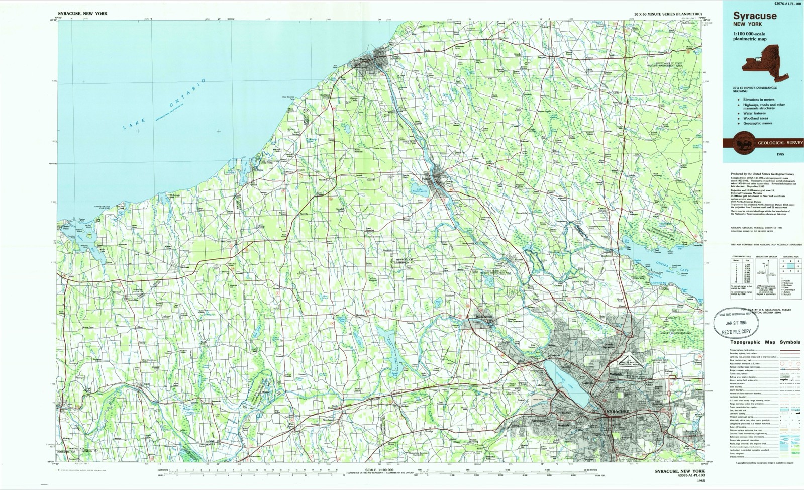
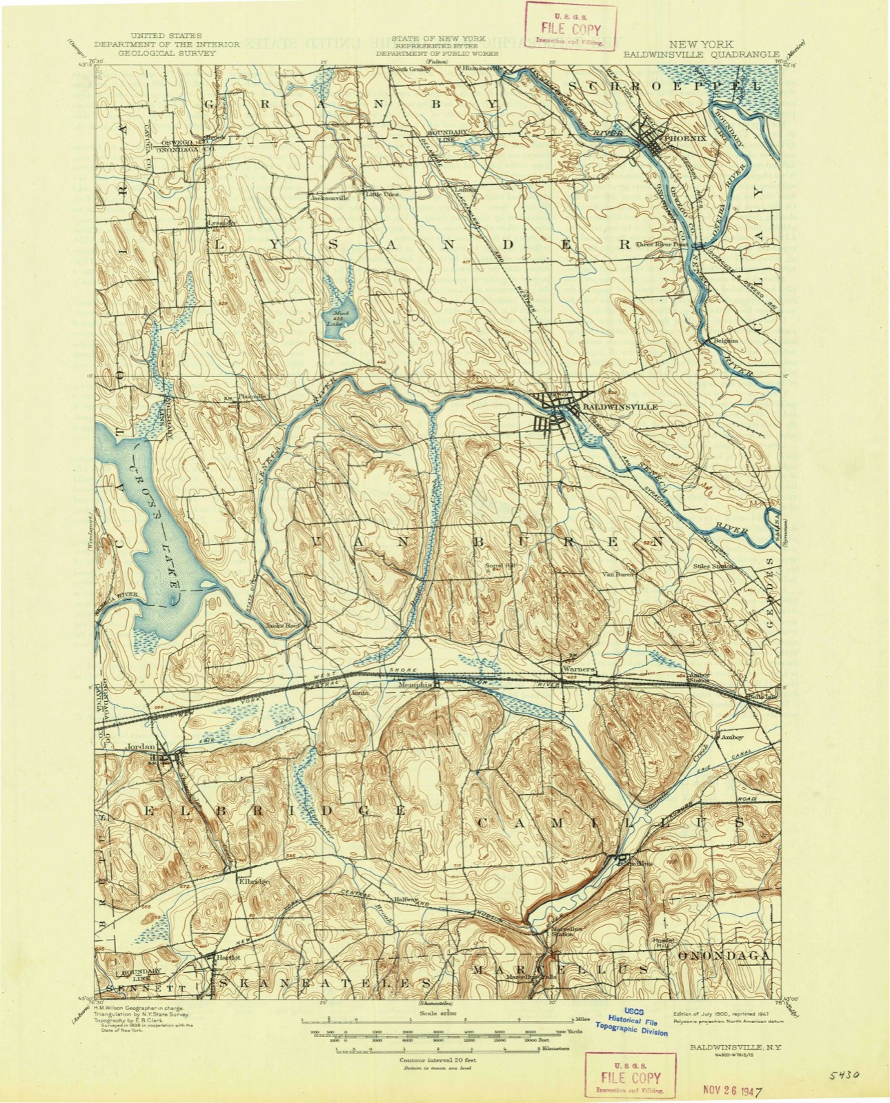
On record in Baldwinsville
Buildings and businesses the archive holds for this place. Each opens its own page, with the source record it came from.
On the National Register 3 records
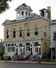 Baldwinsville Village Halllisted 1997
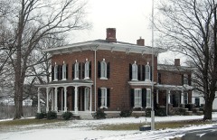 Crego, Mrs.. I.L., Houselisted 2007
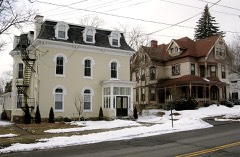 Oswego-Oneida Streets Historic Districtlisted 1982
Population over time
2 figuresBaldwinsville grew from 7,378 to 7,898 between 2010 and 2020. These are the recorded population figures Wikidata holds for this place, reached through the Geographic Names Information System number this page is keyed on rather than by name, so they belong to this place and not to another of the same name. Most are census counts, but not all are: an early figure may be a founding or settlement estimate, and an estimate published within five years of a census is left out. The change column is computed, and is left blank where more than 20 years separate a figure from the one before it, because a gap that long is not a change between two counts.
| Year | People | Change |
|---|---|---|
| 2010 | 7,378 | |
| 2020 | 7,898 | +520 (+7%) |
Topographic sheets covering this place
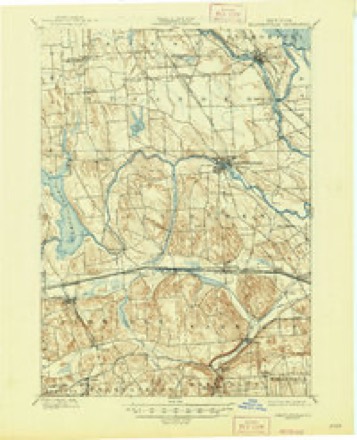
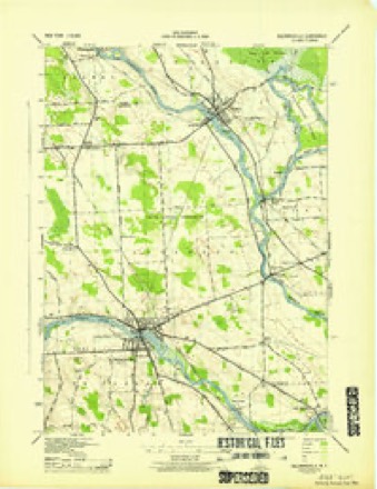
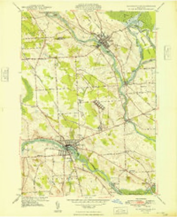
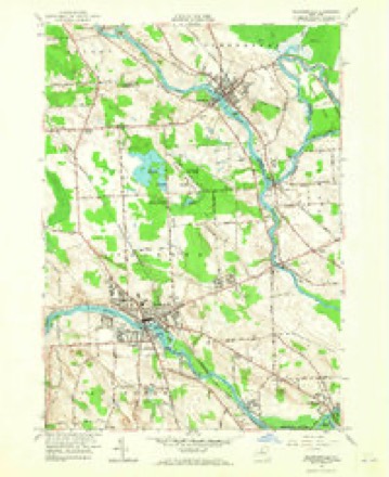
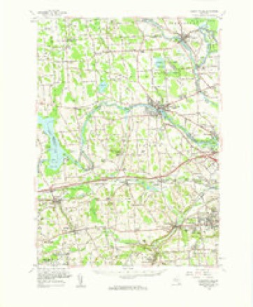
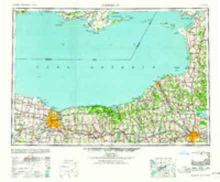
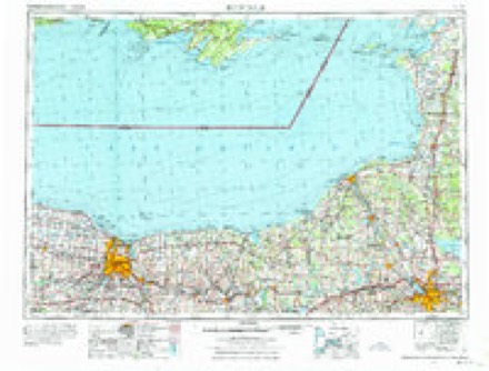
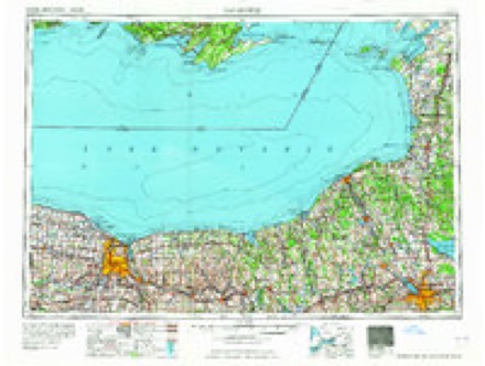
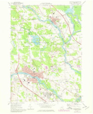
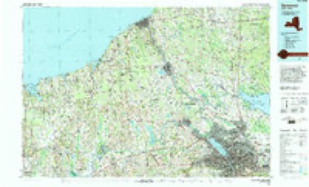
10 surveys from 26 printed sheetsMatched by testing this settlement's coordinate against the published boundary of every sheet in the United States Geological Survey's historical collection. Each opens the scanned sheet at the Survey.
- 1900 USGS Baldwinsville quadrangle1:62500, 9 printings
- 1943 USGS Baldwinsville quadrangle1:31680
- 1948 USGS Baldwinsville quadrangle1:24000
- 1957 USGS Baldwinsville quadrangle1:24000, 2 printings
- 1957 USGS Baldwinsville quadrangle1:62500
- 1960 USGS Rochester quadrangle1:250000, 2 printings
- 1961 USGS Rochester quadrangle1:250000, 3 printings
- 1965 USGS Rochester quadrangle1:250000
- 1973 USGS Baldwinsville quadrangle1:24000, 3 printings
- 1985 USGS Syracuse quadrangle1:100000, 3 printings
Fires near this place
212 since 2000Regional context, not property-specific evidence. The federal wildfire occurrence database lists 212 fires within 5 miles of Baldwinsville between 2000 and 2020, burning about 113 acres in total. 10 started naturally. 23 were recorded as arson. Distance is straight-line from the map coordinates, so a fire counted here may appear on a neighbouring settlement's page as well.
| Reported cause | Fires |
|---|---|
| Missing data/not specified/undetermined | 116 |
| Arson/incendiarism | 23 |
| Equipment and vehicle use | 22 |
| Debris and open burning | 22 |
| Natural | 10 |
| Smoking | 9 |
| Misuse of fire by a minor | 4 |
| Recreation and ceremony | 4 |
| Other causes | 2 |
The most recent of them, most recent first, with the day each was reported and the service that recorded it.
| Date | Cause | Size | Reported by | Name on the report |
|---|---|---|---|---|
| 7 September 2008 | Missing data/not specified/undetermined | 1.0 acres | Fire Department of New York | not named |
| 6 September 2008 | Missing data/not specified/undetermined | under an acre | Fire Department of New York | not named |
| 5 September 2008 | Missing data/not specified/undetermined | under an acre | Fire Department of New York | not named |
| 3 September 2005 | Missing data/not specified/undetermined | under an acre | Fire Department of New York | not named |
| 27 September 2020 | Missing data/not specified/undetermined | under an acre | Fire Department of New York | NA |
| 27 September 2014 | Natural | under an acre | Fire Department of New York | not named |
| 25 September 2011 | Missing data/not specified/undetermined | under an acre | Fire Department of New York | not named |
| 25 September 2008 | Equipment and vehicle use | under an acre | Fire Department of New York | not named |
Settlements close enough to share some of these fires:
Mines and quarries near this place
1 within 5 milesRegional context, not property-specific evidence. The federal mineral resources record lists 1 working within 5 miles of Baldwinsville: 1 producer. All of them still produce. What was taken out: Bloating Material. Distance is straight-line from the map coordinates, so a quarry counted here may appear on a neighbouring settlement's page as well.
| Where | Site | Commodity | Status | Recorded |
|---|---|---|---|---|
| Warners | Bloating Material | Producer | Sedimentary |
Storms near this place
14 since 1994Regional context, not property-specific evidence. The National Weather Service names Baldwinsville in 14 storm reports between 1994 and 2017: 8 thunderstorm wind, 3 flash flood, 2 hail, 1 lightning. The reports record 3 deaths and 7 injuries. Each account below is quoted exactly as the forecast office filed it, from the NOAA Storm Events Database, and each date opens the federal record of that event.
| When | Event | Place named | Harm | What the report says |
|---|---|---|---|---|
| September 1998 | Thunderstorm Wind | Baldwinsville | 3 killed, 7 hurt, $90,000,000 | The derecho that caused extensive wind damage upstream in both Cayuga and Seneca counties continued eastward across Onondaga county. Widespread structural damage resulted and tens of thousands of trees were toppled in northern portions of the county. Direct human impact was also felt. Two fatalities and seven injuries occurred at the New York State Fairgrounds in Geddes. The bow echo complex first entered northwestern sections of the county just after 100 am EDT. It initially tore through the Baldwinsville area, leaving many streets littered with downed trees and utility poles. The storms progressed rapidly towards the east-southeast and affected an area from Clay across Onondaga Lake to Camillus and Geddes from 115 to 120 am EDT. Severe damage was inflicted upon the State Fairgrounds in Geddes. Most of the temporary holding structures or tents on the premises were either completely destroyed or sustained heavy damage. Unfortunately, two individuals who were camping out before the last day of the New York State Fair died that night. A 26 year old man was killed when he was struck by flying debris from a nearby building. A 38 year old man, who was a vendor at the Fair, was killed when a large tree fell upon the tent where he was sleeping. Seven other individuals had minor injuries, mostly cuts and scrapes from flying glass. Three large flag poles at the entrance to the Fairgrounds were bent to almost a 45 degree angle from the force of the wind. Many permanent buildings had roofs torn off, windows blown out, or siding severely damaged from felled trees. In Marcellus and Camillus Townships, an estimated thousands of trees were blown down just in this area alone. The Onondaga Hill section appeared to take on particularly severe damage with most roadways rendered completely impassable from downed trees and live wires. Several homes also had various degrees of siding and roof damage in this vicinity, mainly from falling trees. The storms then took aim on the Syracuse metropolitan area. From approximately 125 to 135 am EDT, the city of Syracuse felt the brunt of the derecho. An estimated many thousands of trees were toppled or damaged throughout the city. One of the hardest hit sections was the Thornden Park area near Syracuse University. In addition to tree damage, there was substantial structural damage (primarily roofs) to nearby homes and buildings. Another fatality occurred in this vicinity when a large tree crashed through the roof of a home and struck an elderly woman who was sleeping. She later died from extensive head injuries. A textile factory had its roof almost completely torn away and many housing units for students at Syracuse University had blown out windows or damaged sections of the roof. St. Lucy's Church, a sturdy brick structure, was nearly destroyed when its western steeple collapsed. Many windows were also blown in at the University Hospital. On the north side of town, an official wind gust to 75 mph was recorded at Hancock International Airport. The storms maintained their intensity as they moved rapidly through the eastern suburbs. Large hail to one inch in diameter was observed by a skywarn spotter in Manlius. Another spotter in DeWitt measured a wind gust of 75 mph. Much in the way of downed trees and structural damage was again reported. A strip mall and fire station both in the town of Manlius had their roofs entirely torn off. Two large antennas just south of Interstate 481 in DeWitt collapsed and interrupted local radio broadcasts. In all, the financial toll from damage fell just short of 100 million dollars. The final day of the New York State Fair was cancelled and the National Guard was called on to help with the cleanup efforts. Onondaga county ultimately qualified for federal disaster funds after officials toured the area and reviewed post-storm damage surveys. These surveys revealed a damage swath 10 to 12 miles long and nearly 30 miles wide. Estimated peak wind gusts were near 115 mph. Hundreds of thousands of people were without power for much of Labor Day. Some customers did not have their power restored for the better part of a week. |
| April 2011 | Flash Flood | Baldwinsville | $9,000,000 | The county reported permanent damage to over 250 roads in the county, with most of the damage centered on the Syracuse area. Several roads were totally washed out, and the City of Syracuse described the urban flash flooding as major. Most roads in the county experienced degrees of flooding from ponding to major flooding and roadway breakdown. Standing water remained and closed several road intersections for several days afterward. |
| October 2017 | Thunderstorm Wind | Baldwinsville | $70,000 | A line of thunderstorms produced damaging wind gusts which knocked down trees and wires. A large tree was blown down onto a house. |
| June 1994 | Thunderstorm Wind | Baldwinsville | $50,000 | no account filed |
| July 1994 | Hail | Baldwinsville | $50,000 | no account filed |
| July 1994 | Thunderstorm Wind | Baldwinsville | $50,000 | no account filed |
| August 2004 | Lightning | Baldwinsville | $20,000 | Lightning struck a substation knocking out power to 8,000 residents in the area. |
| July 1997 | Thunderstorm Wind | Baldwinsville | $20,000 | A severe thunderstorm crossed into northwestern Onondaga county and produced widespread wind damage in the town of Baldwinsville. Several large trees were uprooted and utility poles were knocked down across numerous roadways. |
| July 1999 | Thunderstorm Wind | Baldwinsville | $10,000 | Trees and powerlines blown down. |
| May 1998 | Thunderstorm Wind | Baldwinsville | $10,000 | A severe thunderstorm moved across northern sections of the county. Trees and wires were blown down in and around Baldwinsville between 2:15 and 2:30 pm EDT. |
| July 2006 | Flash Flood | Baldwinsville | $5,000 | Heavy rain from thunderstorms cause flash flooding that sent many streams out of their banks. The water covered many roads and bridges. |
| August 1995 | Thunderstorm Wind | Baldwinsville | $5,000 | no account filed |
| July 2006 | Flash Flood | Baldwinsville | $2,000 | Heavy rain from thunderstorms caused flash flooding. Several roads were impassable and State Route 370 was closed. |
| July 2006 | Hail | Baldwinsville | - | no account filed |
Nearest settlements
The eight closest, with where each one stands in the county. Distances are straight-line, computed from the Geographic Names Information System coordinates.
| Map | Place | Distance | Sheets |
|---|---|---|---|
| Lysander New Community | 1.8 miles | 26 | |
| Village Green | 2.0 miles | 26 | |
| Radisson | 2.9 miles | 26 | |
| Red Rock | 3.0 miles | 26 | |
| Belgium | 3.3 miles | 26 | |
| Hortontown | 3.4 miles | 23 | |
| Van Buren | 3.5 miles | 24 | |
| Seneca Knolls | 3.6 miles | 24 |
Elsewhere
Matched on this settlement's Geographic Names Information System number rather than its name, so it cannot be a different place of the same name in another state.
| Wikipedia article on Baldwinsville | An encyclopaedic summary. Its text is share-alike, so it is linked here rather than copied. |
| Wikidata item Q25815 | The structured record the population and elevation above come from. Public domain (CC0). |
Provenance
This settlement is recorded in the Geographic Names Information System as feature 942909. The sheet list is computed by point-in-boundary test against the United States Geological Survey's historical topographic inventory. Both are works of the United States government and carry no copyright under 17 U.S.C. 105.
Wildfire. Short, Karen C. 2022. Spatial wildfire occurrence data for the United States, 1992-2020 [FPA_FOD_20221014]. 6th Edition. Fort Collins, CO: Forest Service Research Data Archive. https://doi.org/10.2737/RDS-2013-0009.6 Collected with United States Government funding and usable without additional permissions or fees.
Mines and quarries. USGS Mineral Resources Data System (MRDS) https://mrdata.usgs.gov/mrds/ A work of the United States government, no copyright under 17 U.S.C. 105.
Storms. NOAA National Centers for Environmental Information, Storm Events Database https://www.ncei.noaa.gov/stormevents/ A work of the United States government, no copyright under 17 U.S.C. 105. Narratives are quoted verbatim from the National Weather Service report and are not edited or summarised.