 Block
BlockColchester, New York
17 topographic sheets cover this place, the earliest surveyed in 1923 and the latest in 1985. It stands in Walton town. It lies in ZIP code area 13856. It stands on Weeds Brook. The Survey maps it on the Walton East quadrangle.
Then and now
1923 to 1985The same ground, surveyed 62 years apart. Drag the handle to wipe between them. Both sheets are United States Geological Survey originals; neither has been altered.
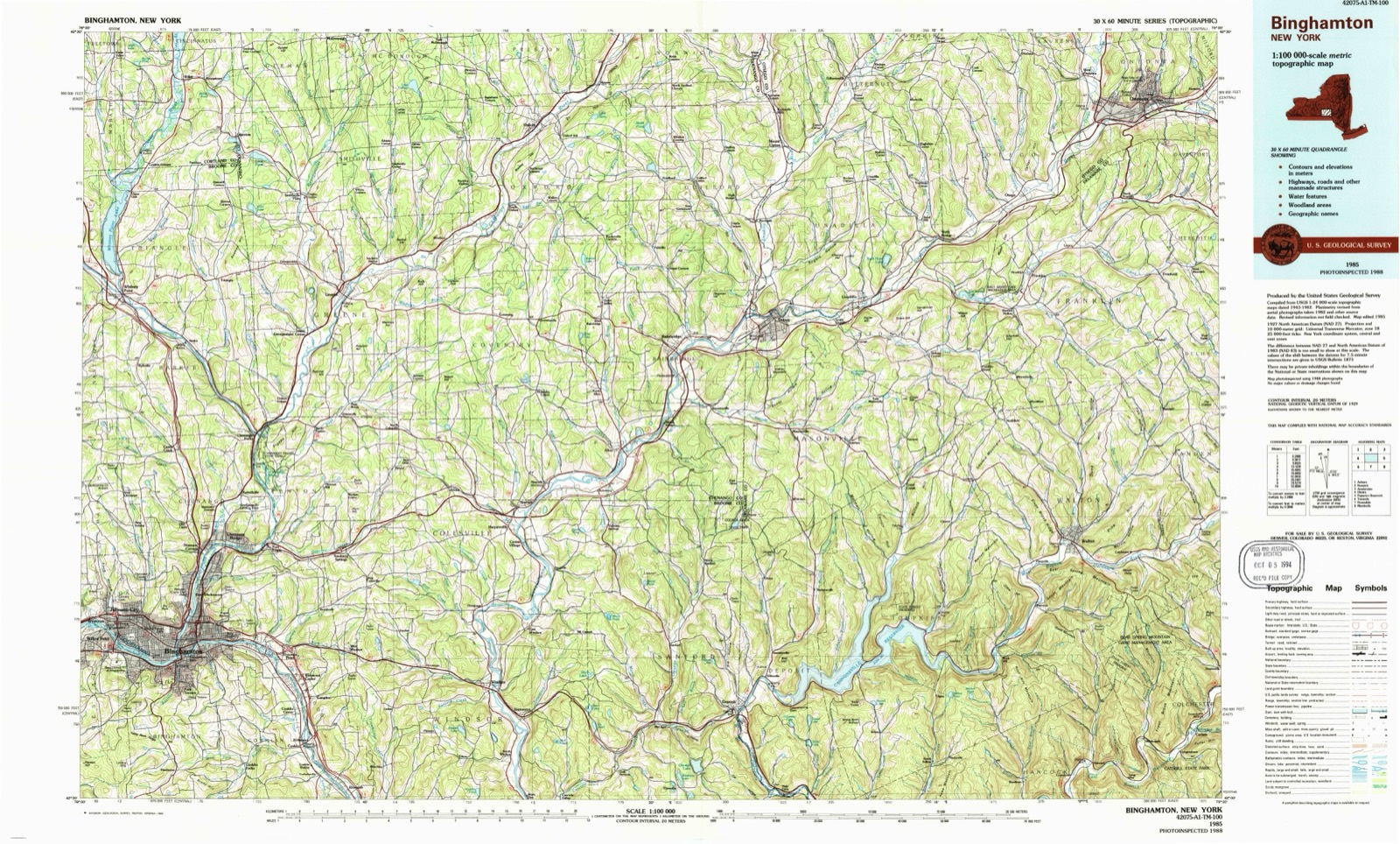
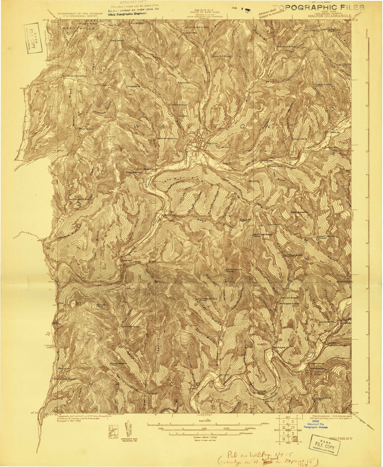
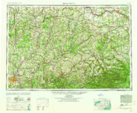
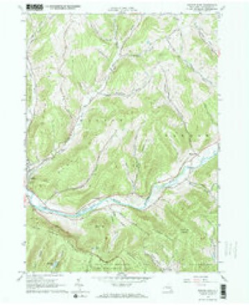
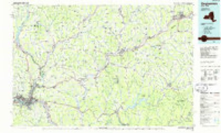
Topographic sheets covering this place
9 surveys from 17 printed sheetsMatched by testing this settlement's coordinate against the published boundary of every sheet in the United States Geological Survey's historical collection. Each opens the scanned sheet at the Survey.
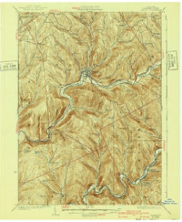
- 1923 USGS Walton quadrangle1:48000
- 1923 USGS Walton quadrangle1:62500, 2 printings
- 1925 USGS Walton quadrangle1:62500, 5 printings
- 1948 USGS Binghamton quadrangle1:250000
- 1950 USGS Binghamton quadrangle1:250000, 2 printings
- 1958 USGS Binghamton quadrangle1:250000
- 1963 USGS Binghamton quadrangle1:250000
- 1965 USGS Walton East quadrangle1:24000, 2 printings
- 1985 USGS Binghamton quadrangle1:100000, 2 printings
Fires near this place
41 since 2002Regional context, not property-specific evidence. The federal wildfire occurrence database lists 41 fires within 5 miles of Colchester between 2002 and 2019, burning about 28 acres in total. 4 started naturally. 5 were recorded as arson. Distance is straight-line from the map coordinates, so a fire counted here may appear on a neighbouring settlement's page as well.
| Reported cause | Fires |
|---|---|
| Missing data/not specified/undetermined | 23 |
| Debris and open burning | 6 |
| Arson/incendiarism | 5 |
| Natural | 4 |
| Smoking | 2 |
| Power generation/transmission/distribution | 1 |
The most recent of them, most recent first, with the day each was reported and the service that recorded it.
| Date | Cause | Size | Reported by | Name on the report |
|---|---|---|---|---|
| 5 September 2007 | Missing data/not specified/undetermined | under an acre | Fire Department of New York | not named |
| 19 September 2005 | Missing data/not specified/undetermined | under an acre | Fire Department of New York | not named |
| 7 August 2005 | Smoking | under an acre | Fire Department of New York | not named |
| 6 August 2002 | Natural | under an acre | Fire Department of New York | not named |
| 24 August 2003 | Arson/incendiarism | under an acre | Fire Department of New York | not named |
| 14 August 2012 | Arson/incendiarism | under an acre | Fire Department of New York | not named |
| 20 July 2007 | Arson/incendiarism | 4.0 acres | Fire Department of New York | not named |
| 19 July 2012 | Missing data/not specified/undetermined | under an acre | Fire Department of New York | not named |
Settlements close enough to share some of these fires:
Mines and quarries near this place
2 within 5 milesRegional context, not property-specific evidence. The federal mineral resources record lists 2 workings within 5 miles of Colchester: 2 producers. All of them still produce. What was taken out: Sand and Gravel, Construction. Distance is straight-line from the map coordinates, so a quarry counted here may appear on a neighbouring settlement's page as well.
| Where | Site | Commodity | Status | Recorded |
|---|---|---|---|---|
| Hamden Pit | Sand and Gravel, Construction | Producer | ||
| Tompkins Bank | Sand and Gravel, Construction | Producer |
Storms near this place
15 since 1997Regional context, not property-specific evidence. The National Weather Service names Colchester in 15 storm reports between 1997 and 2022: 8 thunderstorm wind, 6 flash flood, 1 tornado. The reports record 4 deaths. Each account below is quoted exactly as the forecast office filed it, from the NOAA Storm Events Database, and each date opens the federal record of that event.
| When | Event | Place named | Harm | What the report says |
|---|---|---|---|---|
| June 2007 | Flash Flood | Colchester | 4 killed, $30,000,000 | A catastrophic flash flood occurred the evening of June 19th. The area along the border of Delaware and Sullivan Counties received between 8 and 11 inches of rain in 2 to 3 hours. The water washed out one bridge, damaged several other bridges and roads, destroyed all land-line and cellular communications and ripped homes from their foundations.|4 people were killed by what was described as a 4 to 8 foot wall of water which torn down the hill close to route 206/county route 7. 3 of the people that were killed were in homes that were washed away. 1 person was in a car. The flooding abated late in the evening. ||A detailed assessment of the damages to the homes and businesses in Delaware county was conducted by the New York State Emergency Management Office and the Federal Emergency Management Agency. These assessments found that 37 homes had been destroyed and 16 additional homes had suffered major damages. A section of route 206/county route 7 was destroyed between Rockland and Downsville. The flooding tore a 26 foot deep gully into state route 206/county route 7. Total damages were around 30 million dollars. |
| July 2008 | Flash Flood | Colchester | $10,000,000 | Heavy rain from thunderstorms caused significant flash flooding. All roads in the towns of Andes, Stamford and Middletown were closed, and States of Emergency were declared. The flash flooding caused up to 10 million dollars worth of damage to roads and bridges. |
| June 1998 | Tornado (F1) | Colchester | $250,000 | A thunderstorm cell became tornadic over extreme eastern sections of the county during the evening hours. Aerial storm surveys indicate that the twister first touched down just after 900 pm EDT southwest of Pepacton Reservoir and west of Hendricks Hollow in Colchester township. The tornado cut approximately a 3.5 mile by 100 yard path to the east towards the Delaware-Ulster county line through steep terrain and heavily forested areas. Hundreds of trees were cut down in twisted and chaotic patterns along this damage path. Fortunately, this region was sparsely populated so no structural damage or personal injury resulted. Damage estimates approached a quarter of a million dollars just in replacement cost for deforestation. The tornadic cell continued eastward thereafter into Ulster county and produced additional damage. |
| April 2011 | Thunderstorm Wind | Colchester | $50,000 | Numerous trees were blown down throughout the county. |
| June 2006 | Flash Flood | Colchester | $50,000 | no account filed |
| June 2017 | Flash Flood | Colchester | $20,000 | Torrential rains caused severe flooding of streams and creeks in the area with water over the road and culvert washouts on County Route 22. Authorities suspected a beaver dam break occurred. |
| May 1997 | Thunderstorm Wind | Colchester | $10,000 | A thunderstorm cell became severe along the Delaware river and moved through southern portions of the county. The storm briefly produced isolated wind damage before weakening. At around 920 pm EDT, large trees and power lines were blown down in the town of Colchester. |
| June 2017 | Flash Flood | Colchester | $8,000 | Flood water was flowing 6 to 8 inches over a bridge on East Brook Road. |
| May 2020 | Thunderstorm Wind | Colchester | $5,000 | Strong thunderstorm winds brought down a tree and wires. |
| July 2020 | Thunderstorm Wind | Colchester | $5,000 | Strong thunderstorm winds brought down trees, blocking part of State Highway 10. |
| August 2019 | Thunderstorm Wind | Colchester | $5,000 | Strong thunderstorm winds brought down a large tree, blocking a driveway at 654 Nichols Road. |
| May 2022 | Thunderstorm Wind | Colchester | $2,000 | Strong thunderstorm winds knocked down a tree and wires near the intersection of NY-206 and Trout Brook Rd. |
| March 2008 | Flash Flood | Colchester | - | Numerous roads were closed due to flooding. |
| June 2007 | Thunderstorm Wind | Colchester | - | Trees and wires blown down. |
| July 1999 | Thunderstorm Wind | Colchester | - | no account filed |
Nearest settlements
The eight closest, with where each one stands in the county. Distances are straight-line, computed from the Geographic Names Information System coordinates.
| Map | Place | Distance | Sheets |
|---|---|---|---|
| Walton | 2.8 miles | 17 | |
| Hawleys | 3.7 miles | 17 | |
| Pinesville | 4.6 miles | 17 | |
| Hamden | 4.9 miles | 16 | |
| Beerston | 5.1 miles | 17 | |
| De Lancey | 6.5 miles | 16 | |
| Mundale | 6.7 miles | 15 | |
| Downsville | 7.0 miles | 15 |
Provenance
This settlement is recorded in the Geographic Names Information System as feature 972330. The sheet list is computed by point-in-boundary test against the United States Geological Survey's historical topographic inventory. Both are works of the United States government and carry no copyright under 17 U.S.C. 105.
Wildfire. Short, Karen C. 2022. Spatial wildfire occurrence data for the United States, 1992-2020 [FPA_FOD_20221014]. 6th Edition. Fort Collins, CO: Forest Service Research Data Archive. https://doi.org/10.2737/RDS-2013-0009.6 Collected with United States Government funding and usable without additional permissions or fees.
Mines and quarries. USGS Mineral Resources Data System (MRDS) https://mrdata.usgs.gov/mrds/ A work of the United States government, no copyright under 17 U.S.C. 105.
Storms. NOAA National Centers for Environmental Information, Storm Events Database https://www.ncei.noaa.gov/stormevents/ A work of the United States government, no copyright under 17 U.S.C. 105. Narratives are quoted verbatim from the National Weather Service report and are not edited or summarised.