Block
BlockFrom the record
78 National Register listings published here, 1 of them a National Historic Landmark.
Sources: the National Register database, National Park Service
243 topographic sheets cover 124 settlements here, and 78 properties are on the National Register of Historic Places.
78 National Register listings published here, 1 of them a National Historic Landmark.
Sources: the National Register database, National Park Service
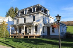
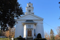
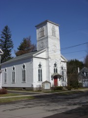
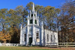
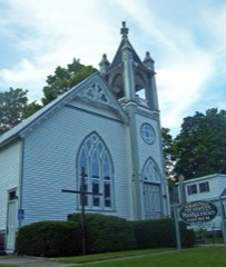
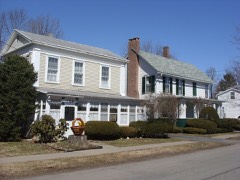
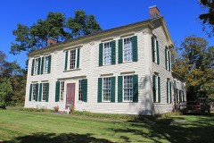
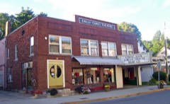
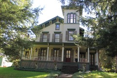
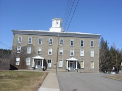
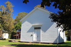
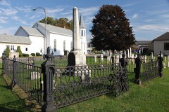
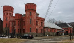
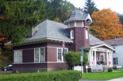
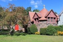
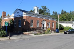
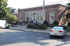
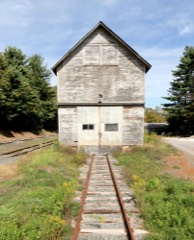
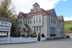
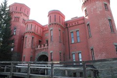
Every property in this county listed on the National Register of Historic Places, with the year it was listed and the federal nomination document.
Delaware County has 4 covered bridges on the National Register. Each is a listed structure with a federal nomination on file.
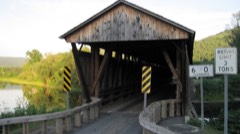 | Downsville Covered Bridge | Listed 1999, 15 map sheets show this crossing |
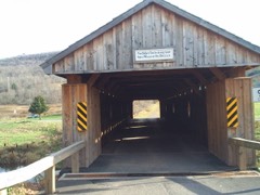 | Fitches Covered Bridge | Listed 1999, 16 map sheets show this crossing |
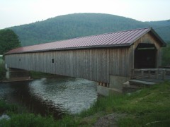 | Hamden Covered Bridge | Listed 1999, 16 map sheets show this crossing |
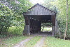 | Lower Shavertown Covered Bridge | Listed 1999, 24 map sheets show this crossing |
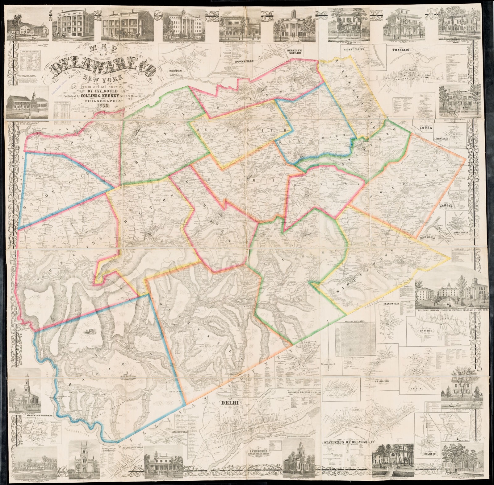
Drawn when these were printed as single large sheets: the town seen from the air, and the county divided into its farms with every owner named. Each opens the original at the Library of Congress.
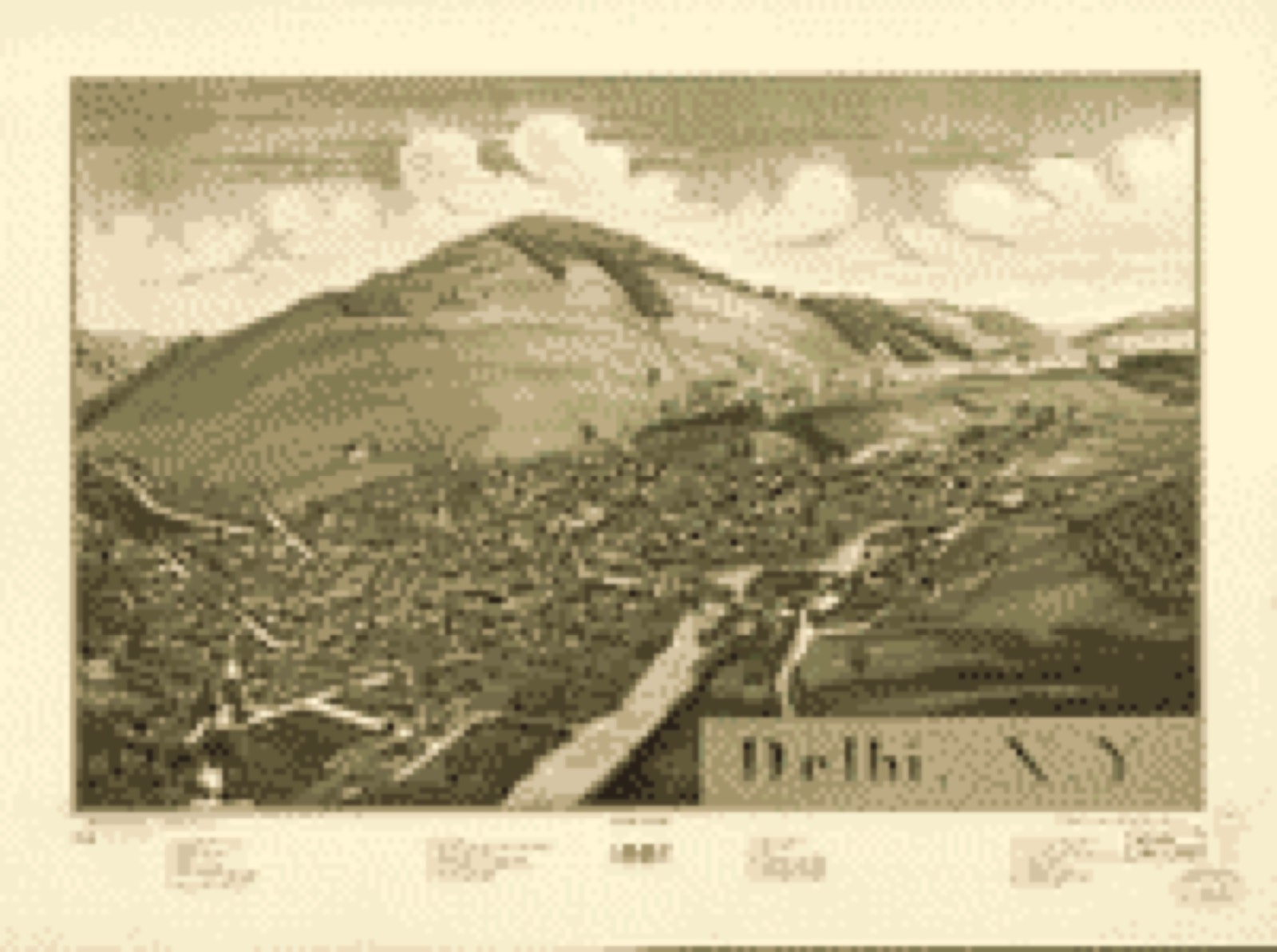

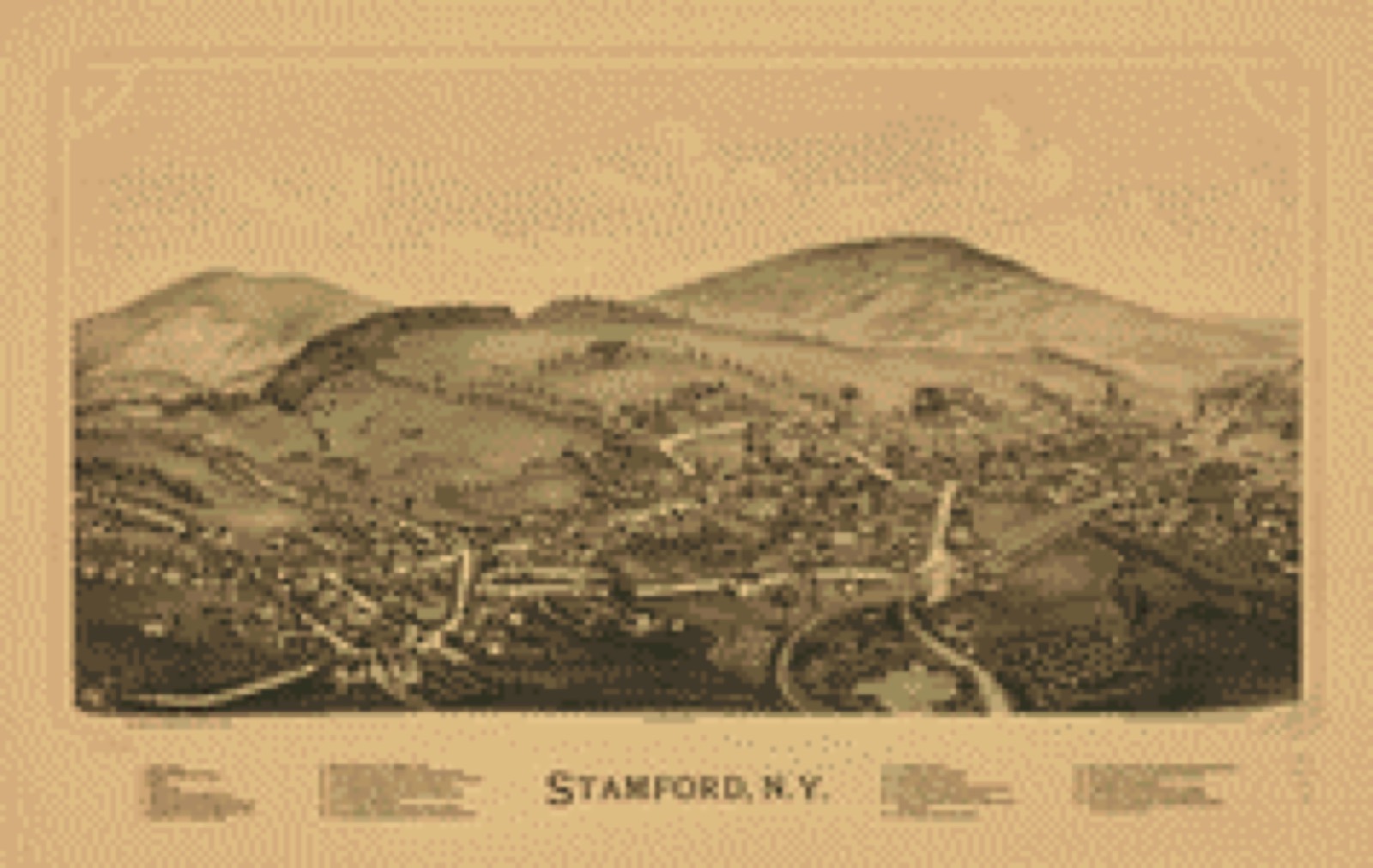
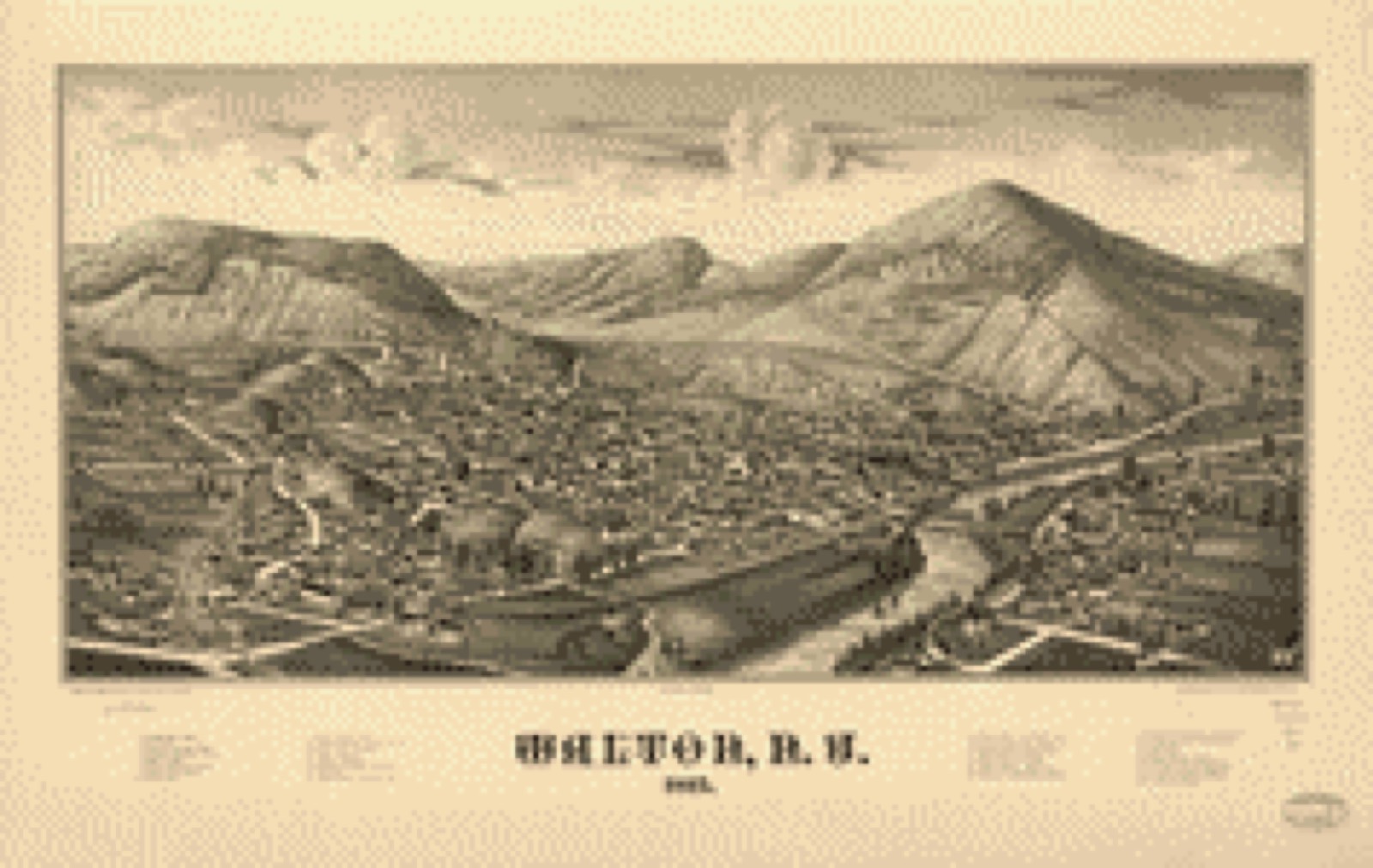
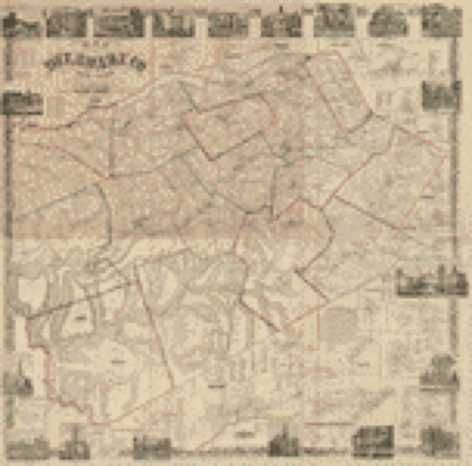
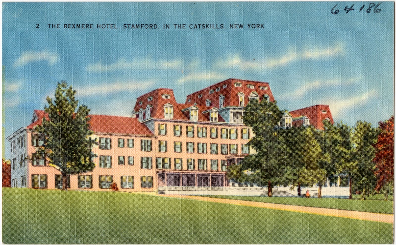
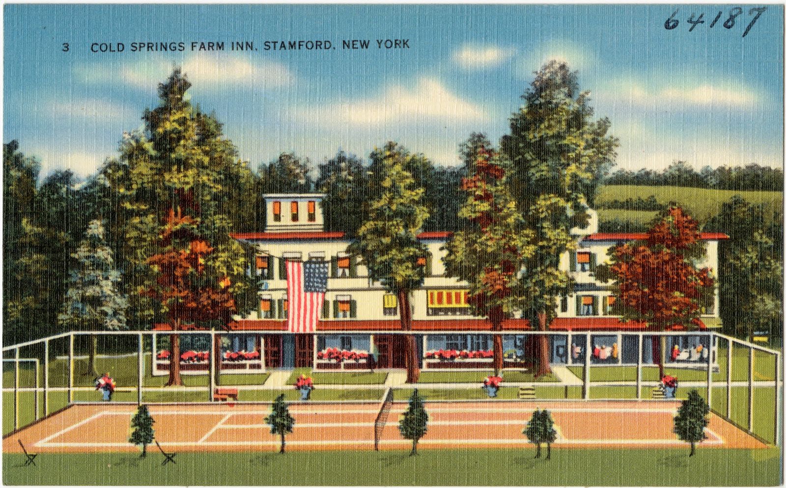
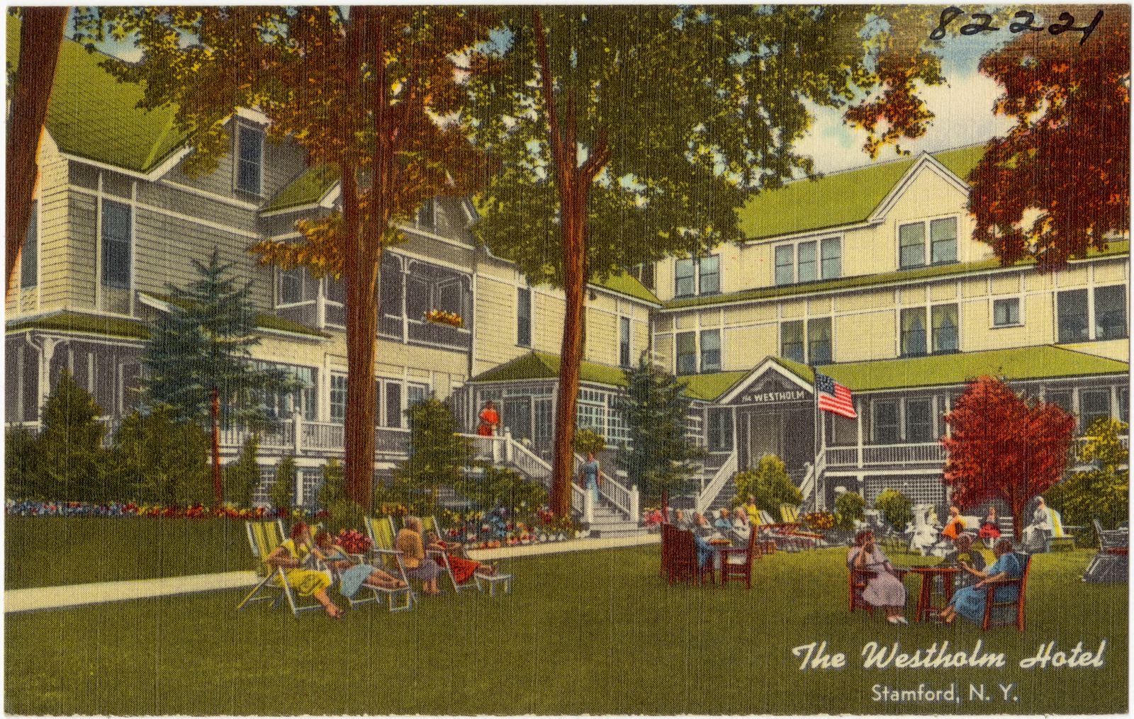
Selected from the Digital Public Library of America's 12 image records catalogued for this county. Every one shown here carries a public-domain status or a licence that permits reuse on a site that carries advertising; non-commercial, share-alike and restricted images are excluded. The selection is spread across the county's towns (at most eight per town), so no single institution's bulk upload crowds out the rest. Each opens the holding library's record, and the complete set at the Digital Public Library of America is one click away.


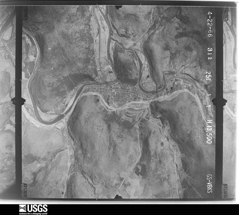
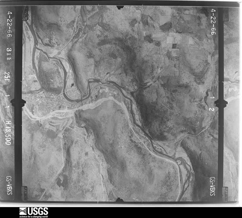
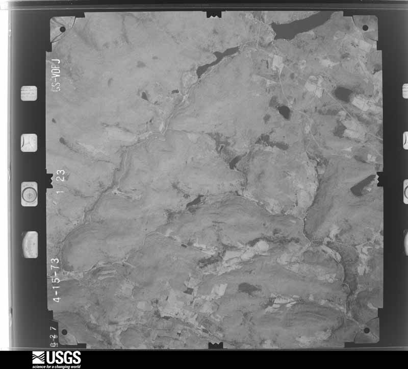
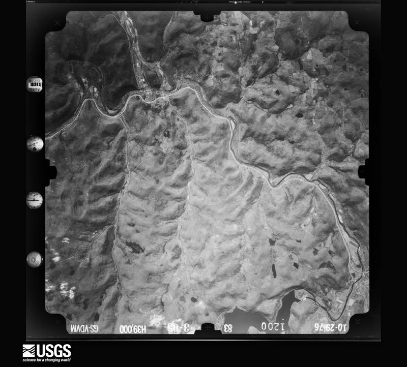
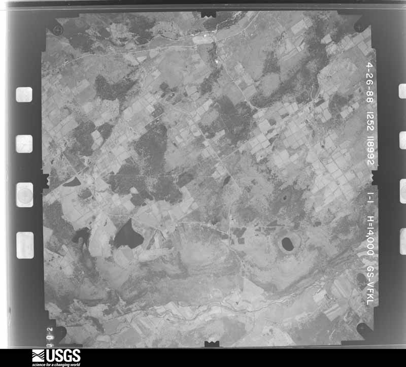
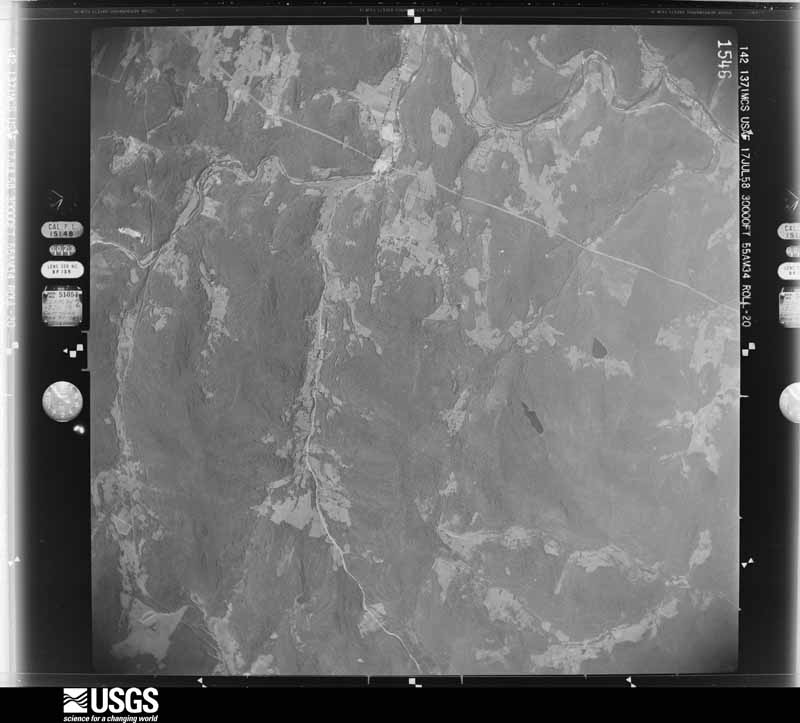
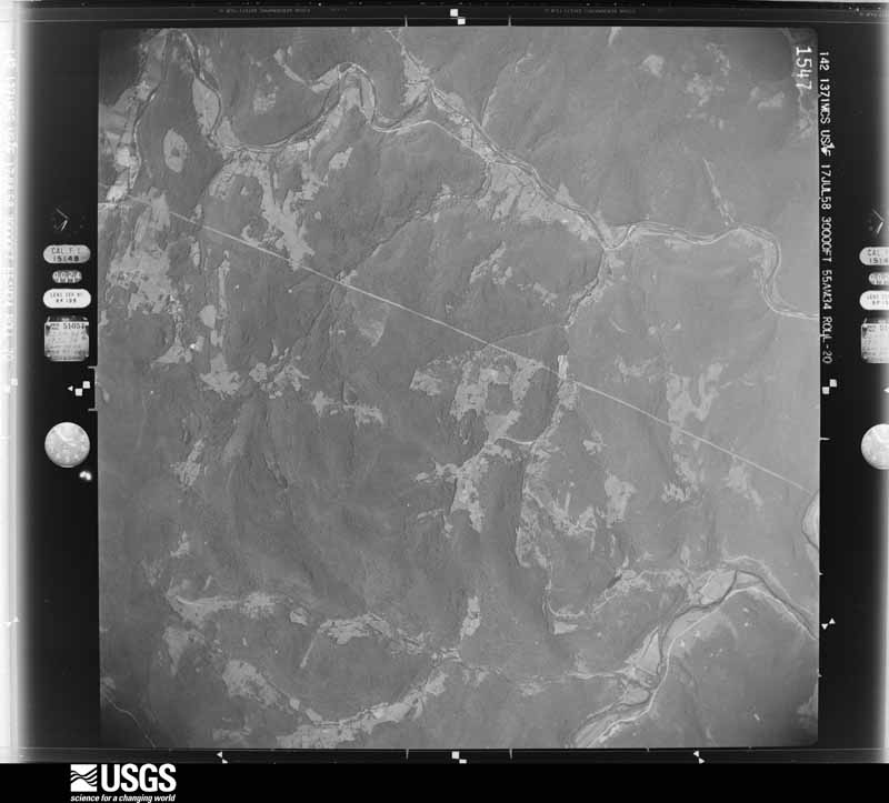
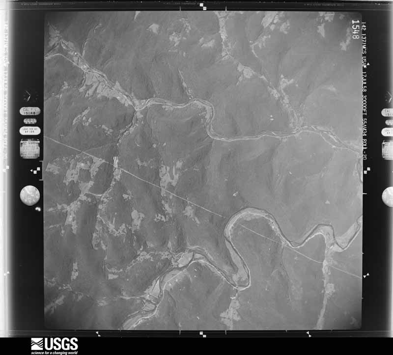
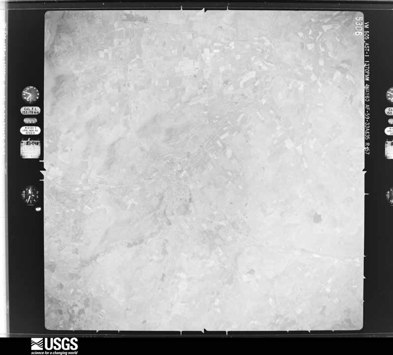
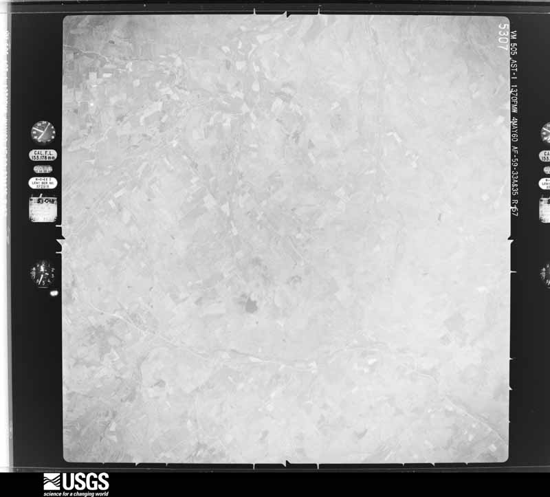
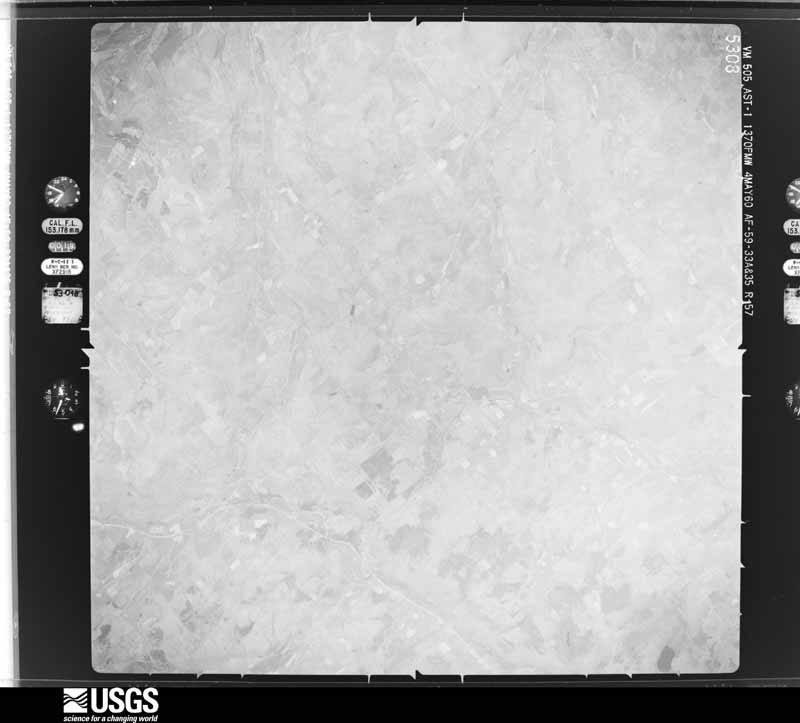
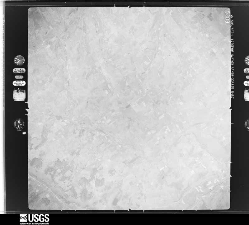
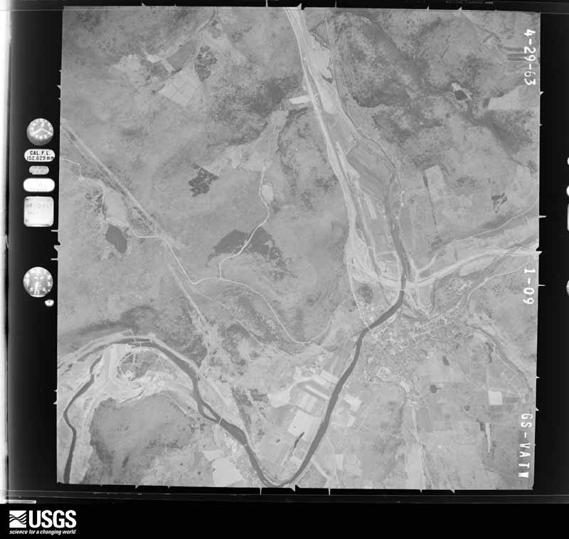
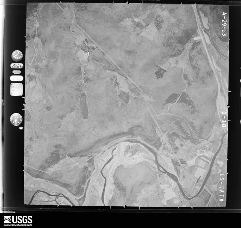
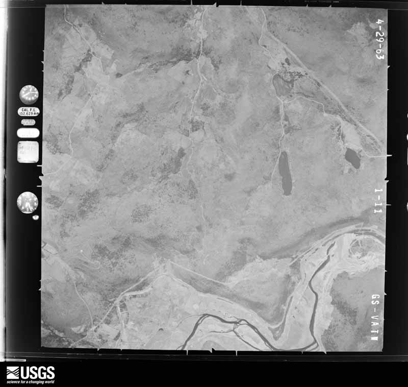
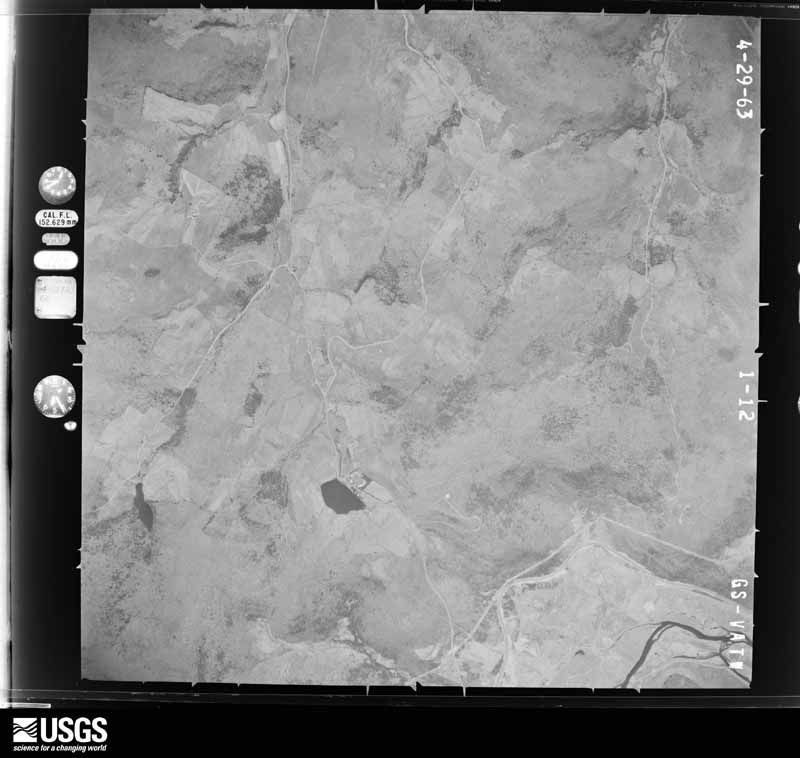
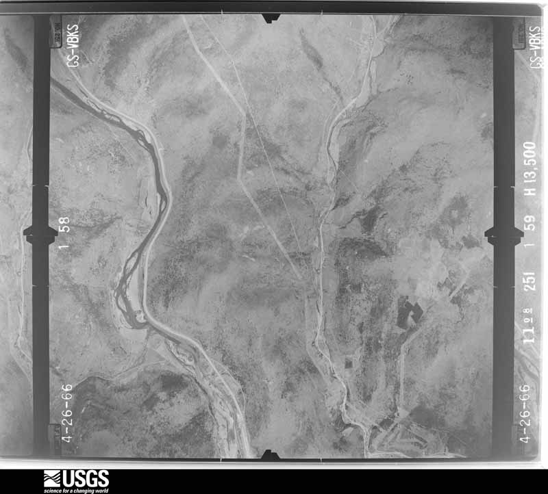
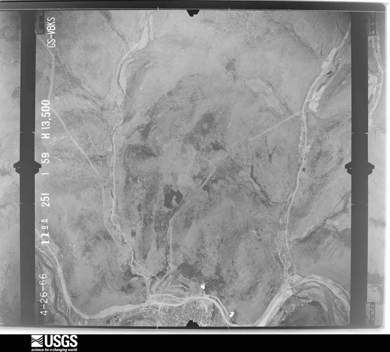
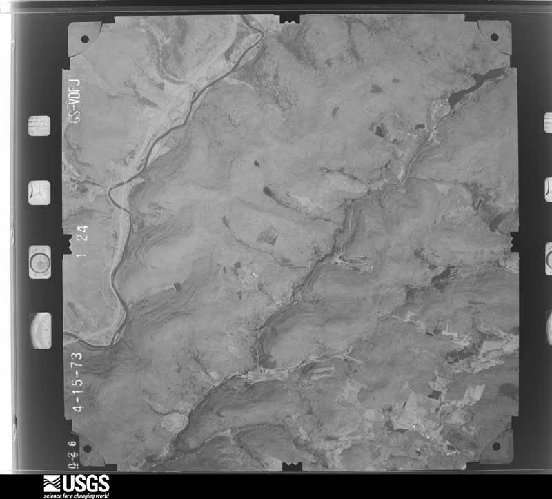
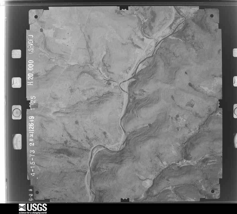
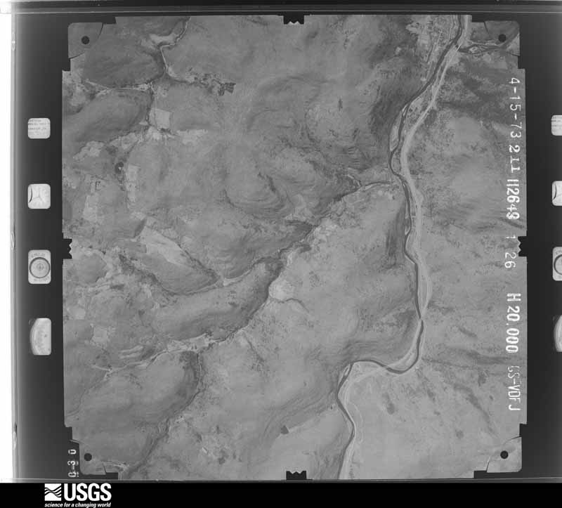
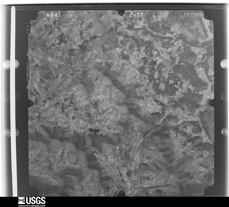
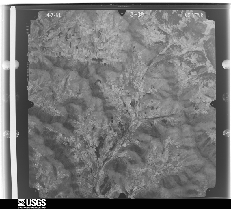
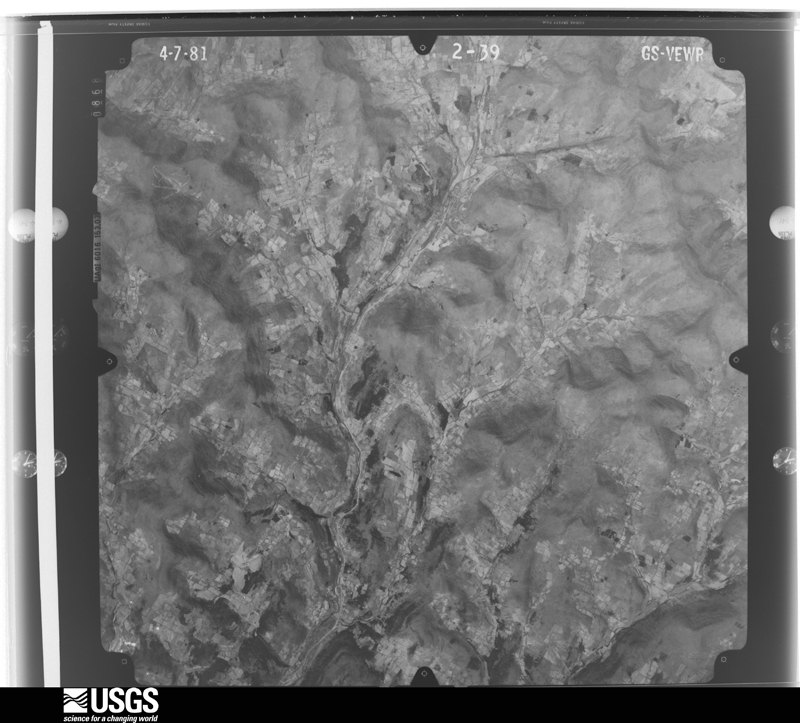
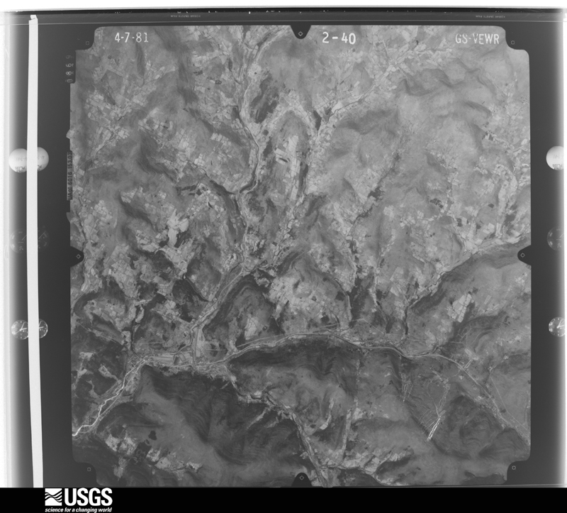
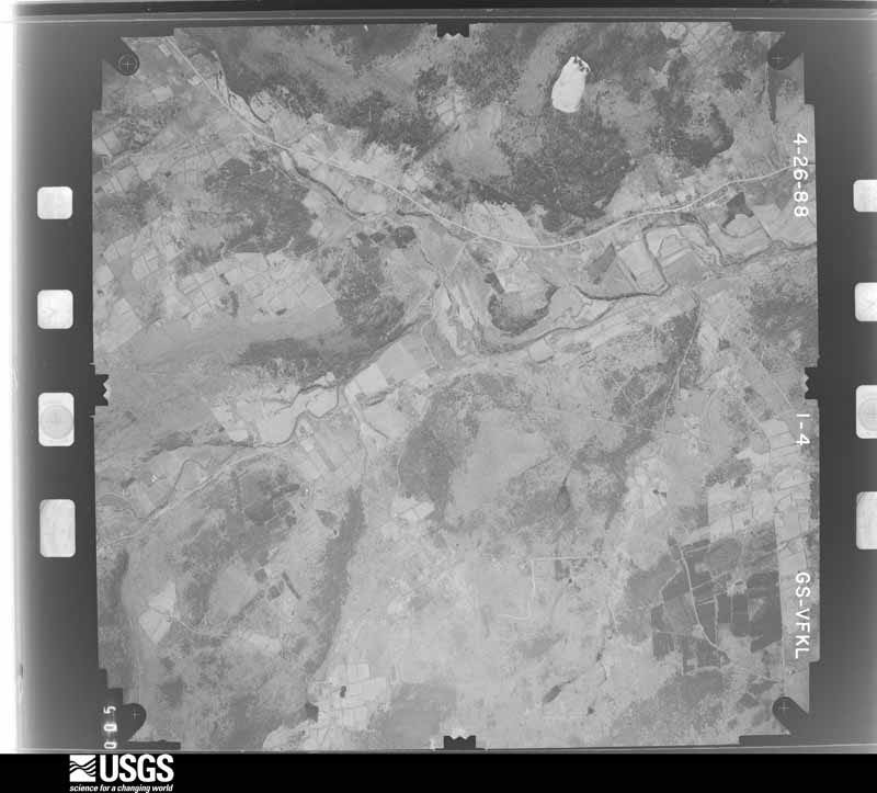
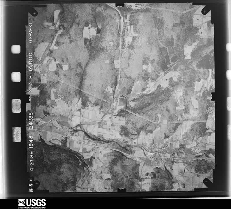
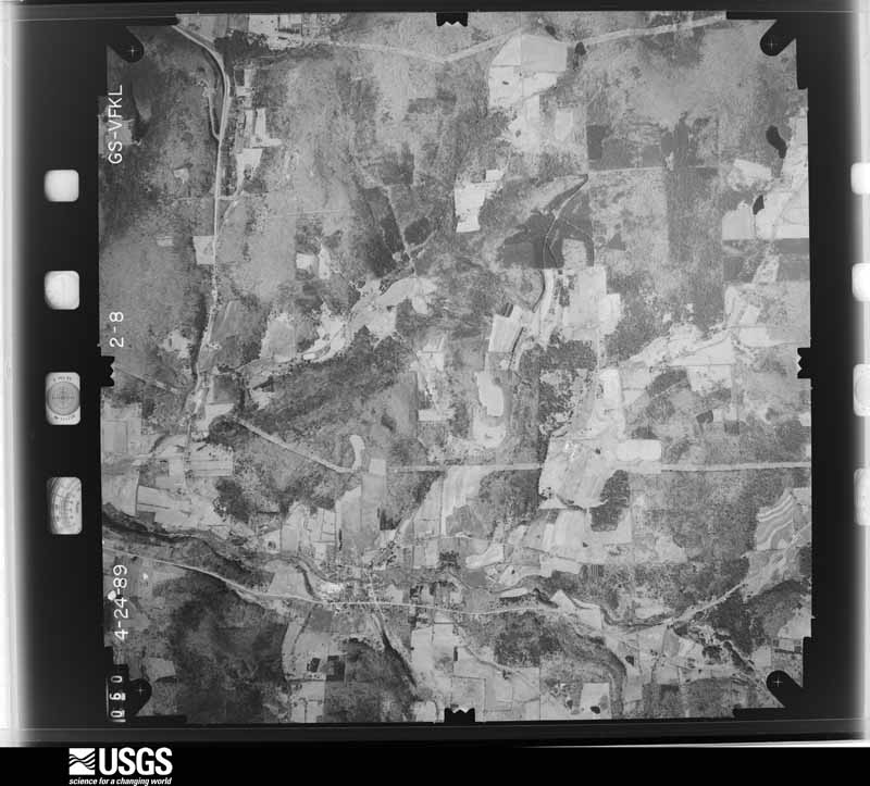
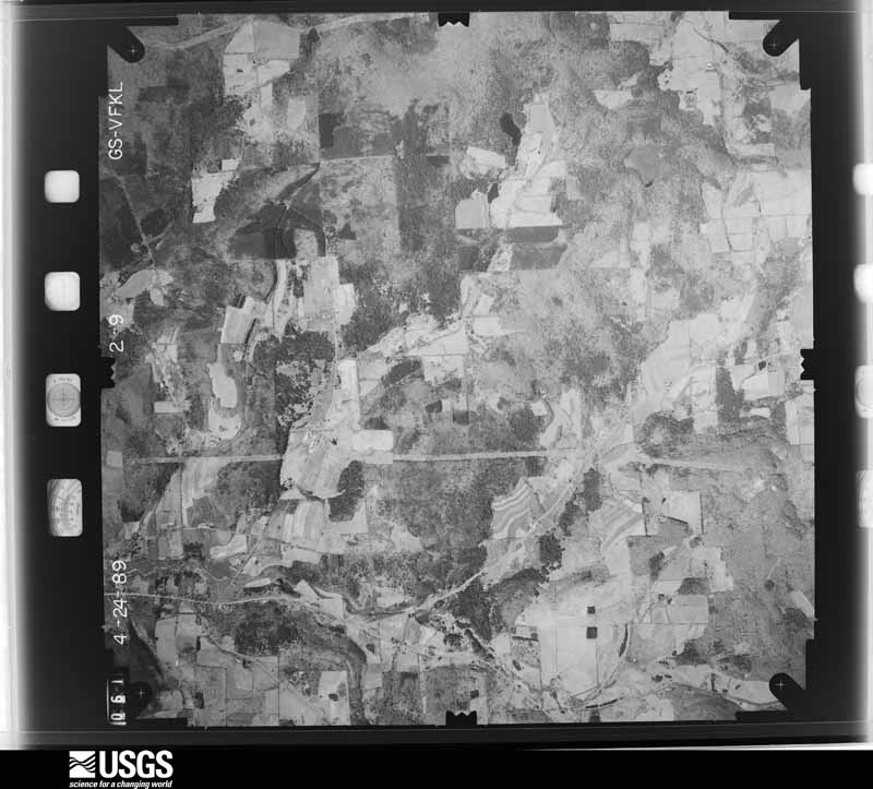
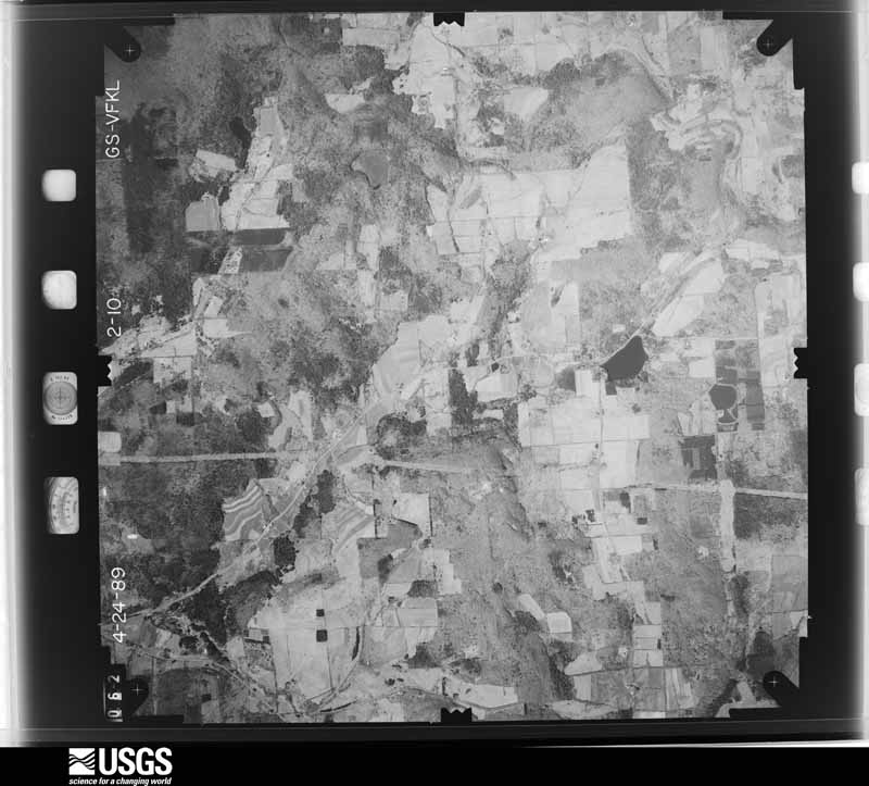
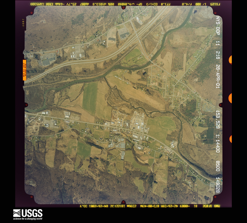
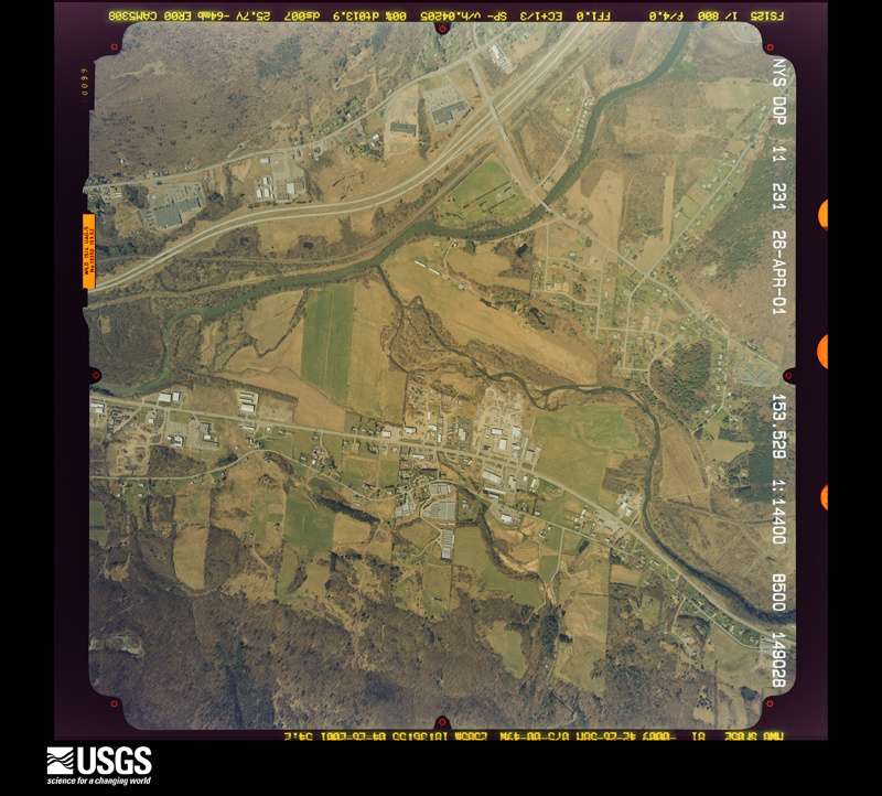
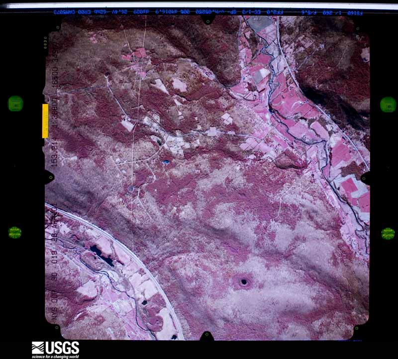
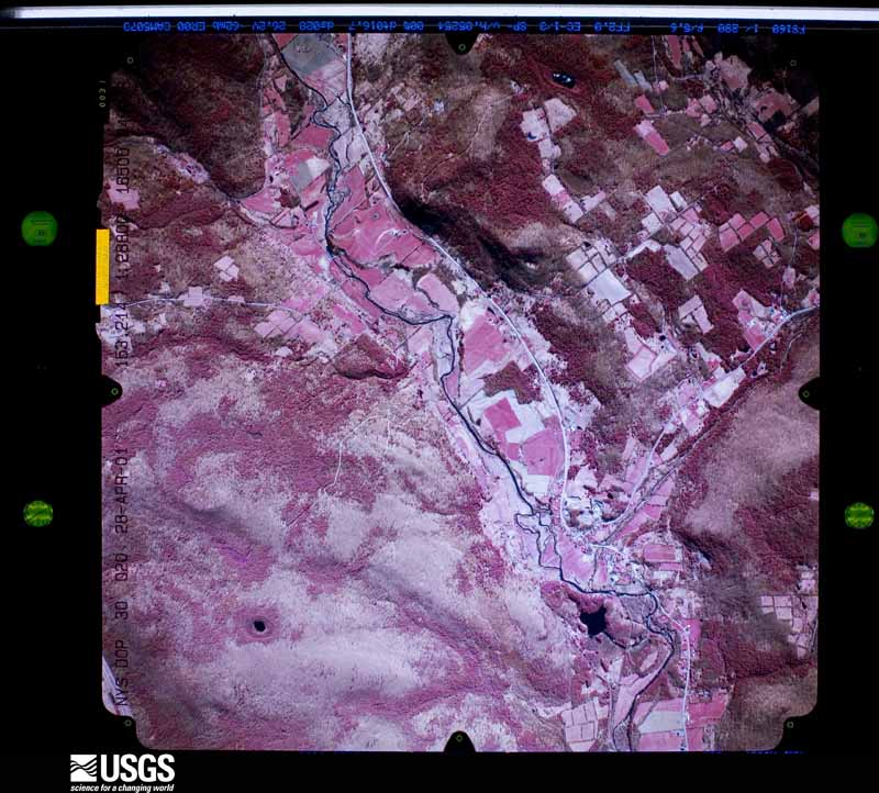
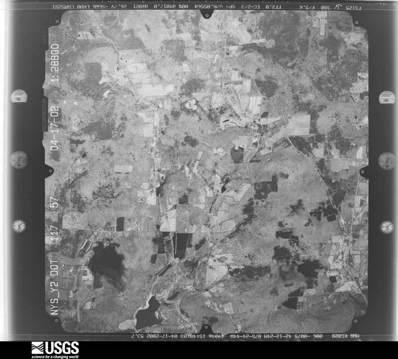
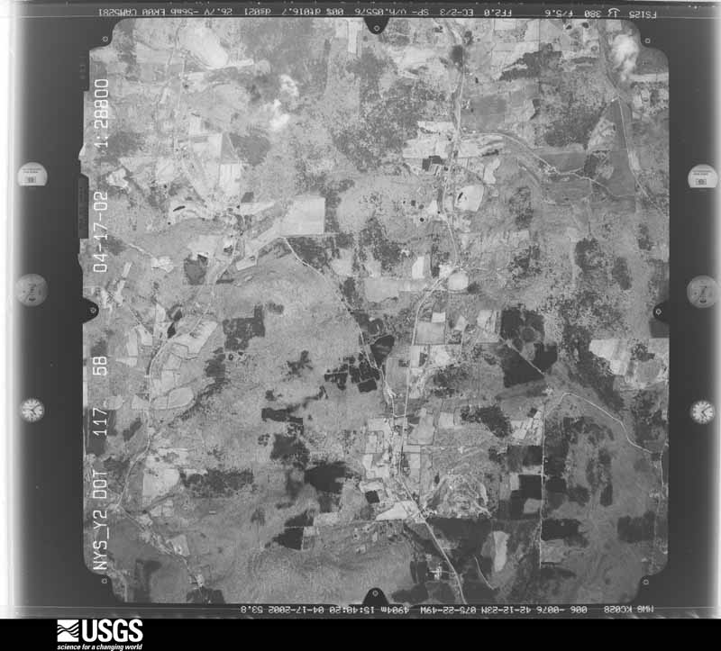
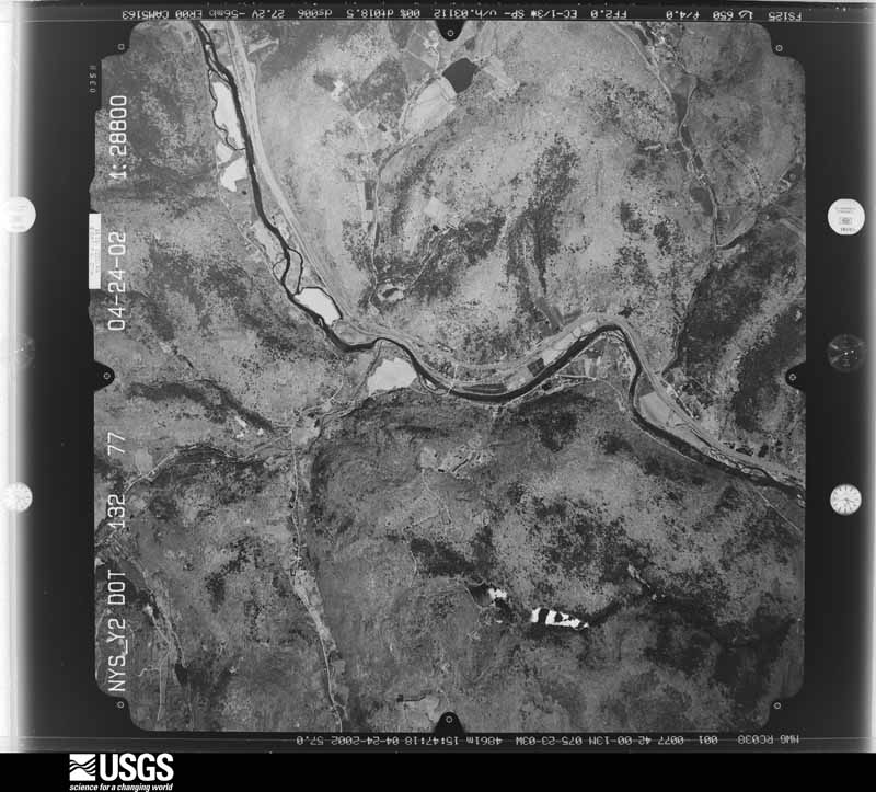
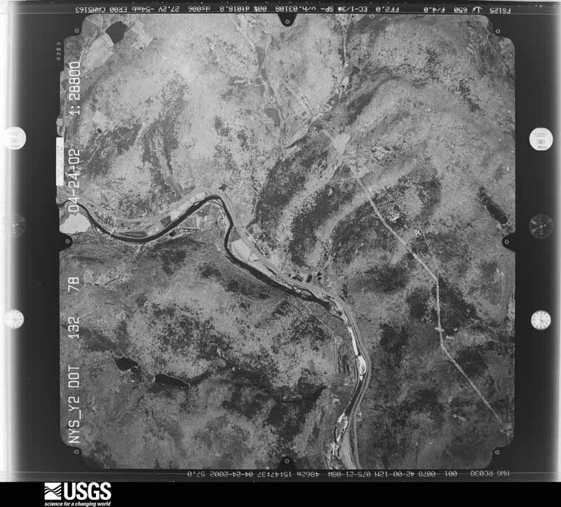
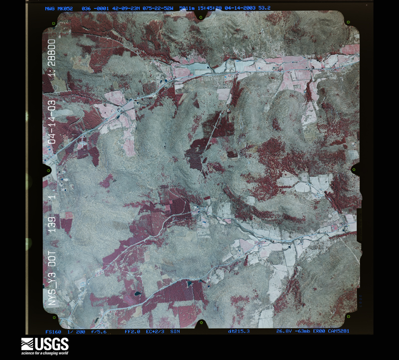
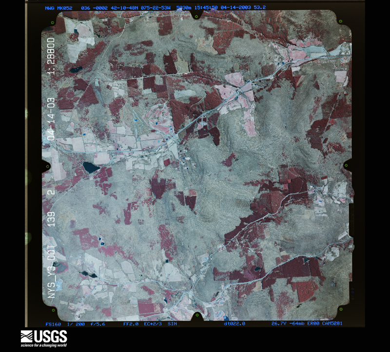
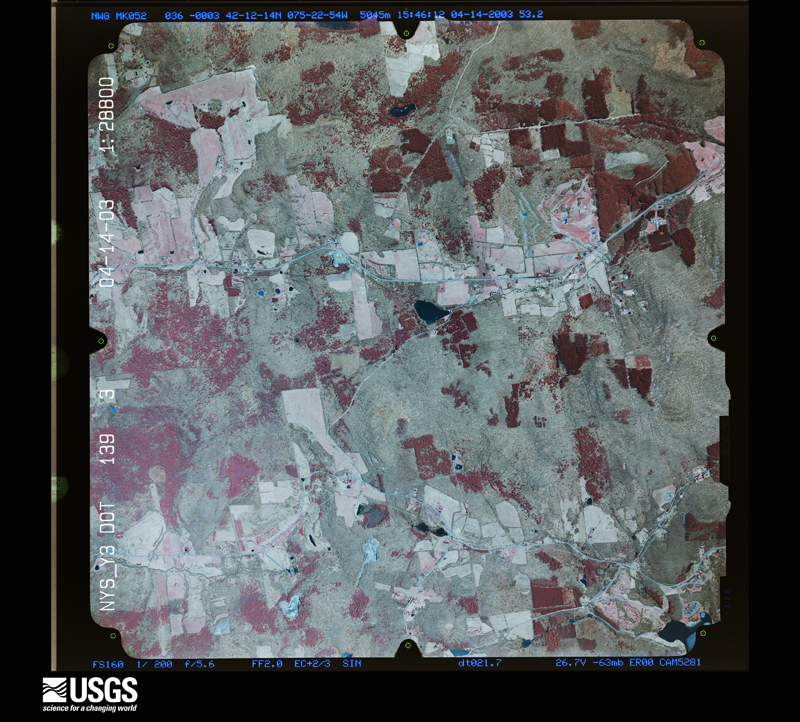
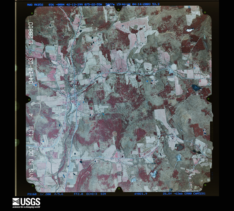
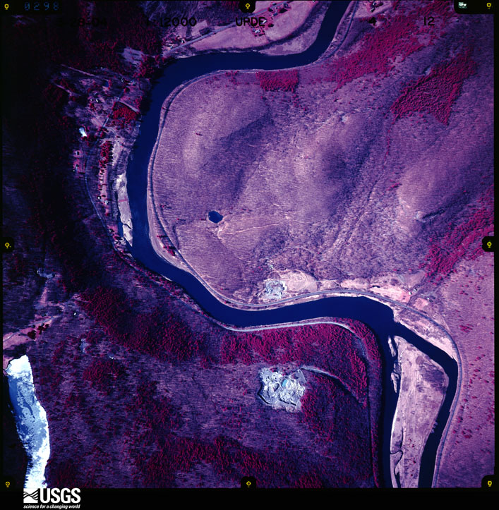
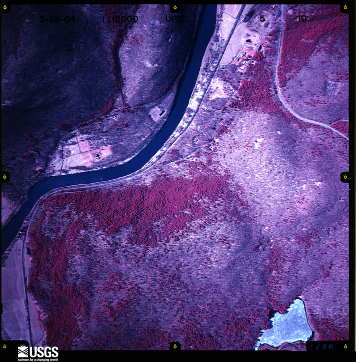
Flown by the U.S. Geological Survey between 1937 and 1989, the Aerial Photo Single Frames collection is the definitive mid-century view of the land: fields, roads and rivers as the camera saw them. The Survey holds 2,493 frames inside the rectangle that bounds this county; the 48 frames below were taken over the county itself, chosen across the decades of flights (at most four a year from that rectangle), so one flight cannot crowd out the rest. The full set is free to browse and download at EarthExplorer under the dataset Aerial Photo Single Frames.
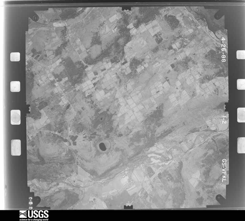
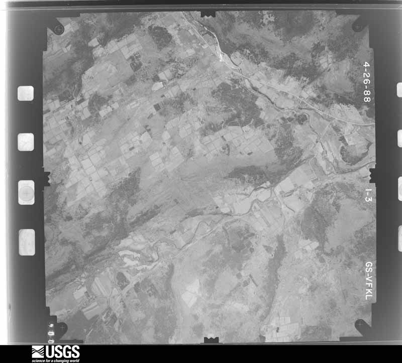
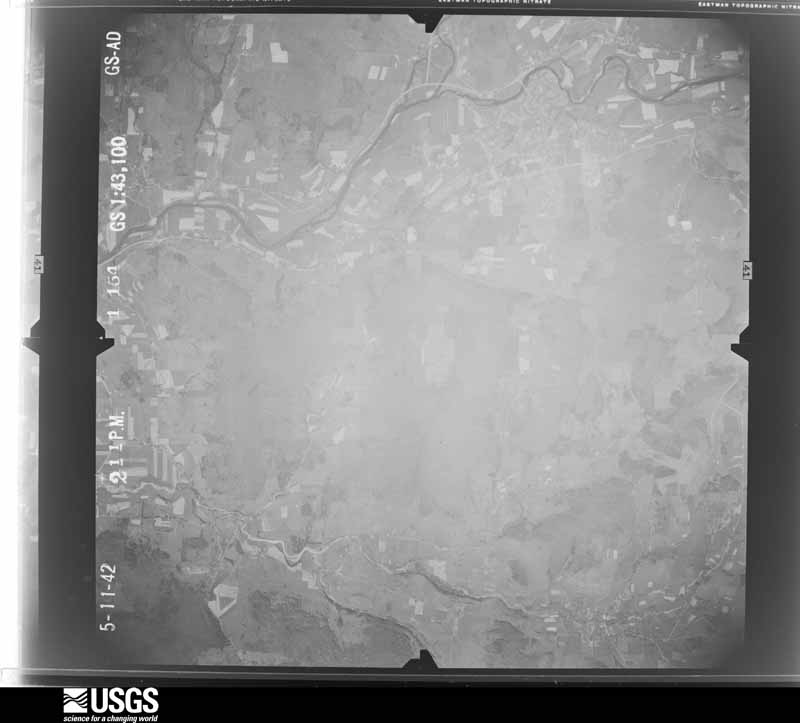
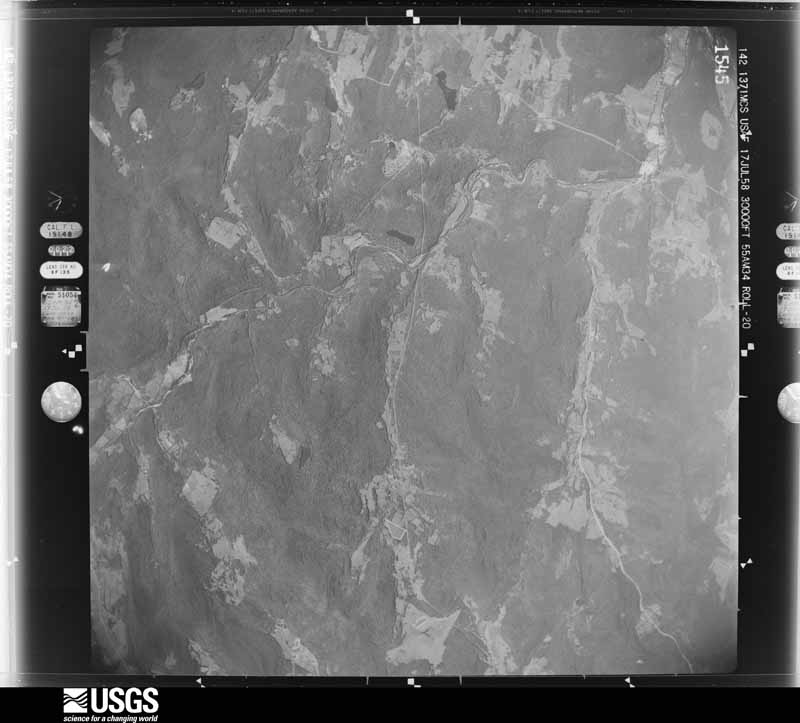
The thermometers that kept this county's weather, and the gages that measured the flow of its streams, as the federal records hold them. The extremes below are measured values from those records, not estimates.
Who lived here in 1950, one enumeration district at a time, as the Census Bureau described each district. Each row opens its official National Archives result, with Population Schedules and ED Maps available there.
Every wildfire the federal occurrence database records inside this county: 722 of them, burning about 1,084 acres. 68 started naturally and 52 were recorded as arson. Each settlement page carries the fires within five miles of it.
| Reported cause | Fires |
|---|---|
| Missing data/not specified/undetermined | 361 |
| Debris and open burning | 118 |
| Natural | 68 |
| Arson/incendiarism | 52 |
| Equipment and vehicle use | 51 |
| Power generation/transmission/distribution | 22 |
| Smoking | 19 |
| Recreation and ceremony | 15 |
| Misuse of fire by a minor | 14 |
| Fireworks | 1 |
| Other causes | 1 |
The five largest, by the area the report gives. Three of them were set deliberately.
| Date | Cause | Size | Reported by | Name on the report |
|---|---|---|---|---|
| 2 August 1999 | Natural | 40 acres | New York Forest Rangers | IRISH TOWN |
| 31 March 1999 | Smoking | 40 acres | New York Forest Rangers | not named |
| 4 May 1993 | Missing data/not specified/undetermined | 38 acres | New York Forest Rangers | not named |
| 3 April 1999 | Equipment and vehicle use | 30 acres | New York Forest Rangers | not named |
| 30 March 1998 | Missing data/not specified/undetermined | 30 acres | New York Forest Rangers | not named |
| 1 May 1999 | Arson/incendiarism | 25 acres | New York Forest Rangers | not named |
| 16 April 1997 | Arson/incendiarism | 20 acres | New York Forest Rangers | not named |
| 13 May 1999 | Arson/incendiarism | 20 acres | New York Forest Rangers | not named |
Every settlement page carries the fires within five miles of it - see the settlement index below.
The NOAA Storm Events Database holds 548 reports for this county, causing 14 deaths, 4 injuries and about $372,483,000 in recorded property damage. Each settlement page carries the reports that name it.
| Kind of event | Reports |
|---|---|
| Thunderstorm Wind | 318 |
| Hail | 107 |
| Flash Flood | 84 |
| Flood | 22 |
| Tornado | 11 |
| Lightning | 4 |
| Heavy Rain | 1 |
| Funnel Cloud | 1 |
The most serious of them, by death, then injury, then recorded damage. The accounts are quoted exactly as the forecast office filed them.
| When | Event | Place named | Harm | What the report says |
|---|---|---|---|---|
| January 1996 | Flash Flood | Countywide | 6 killed, $9,300,000 | no account filed |
| June 2007 | Flash Flood | Colchester | 4 killed, $30,000,000 | A catastrophic flash flood occurred the evening of June 19th. The area along the border of Delaware and Sullivan Counties received between 8 and 11 inches of rain in 2 to 3 hours. The water washed out one bridge, damaged several other bridges and roads, destroyed all land-line and cellular communications and ripped homes from their foundations.|4 people were killed by what was described as a 4 to 8 foot wall of water which torn down the hill close to route 206/county route 7. 3 of the people that were killed were in homes that were washed away. 1 person was in a car. The flooding abated late in the evening. ||A detailed assessment of the damages to the homes and businesses in Delaware county was conducted by the New York State Emergency Management Office and the Federal Emergency Management Agency. These assessments found that 37 homes had been destroyed and 16 additional homes had suffered major damages. A section of route 206/county route 7 was destroyed between Rockland and Downsville. The flooding tore a 26 foot deep gully into state route 206/county route 7. Total damages were around 30 million dollars. |
| June 2006 | Flash Flood | Countywide | 2 killed, $250,000,000 | no account filed |
| June 2024 | Thunderstorm Wind | Horton | 1 killed, 1 hurt, $115,000 | A severe microburst with estimated wind speeds of up to 90 mph, occurred just northwest to north of Cooks Falls, NY near the southeastern edge of Delaware County. There was sporadic damage spread across southern Delaware County from the severe thunderstorm that tracked through the area late in the morning. However, straight-line wind damage was most concentrated in a microburst footprint that encompassed Cooks Hollow and Butternut Grove in the Beaver Kill Valley, and especially up the Russell Brook drainage for at least a mile. The damage pattern diverged from the middle of the path, indicative of a downburst.||This severe microburst impacted two campgrounds with very damaging straight line winds. Many recreational vehicles and camper units, a few tents, and at least two vehicles were heavily damaged and in some cases destroyed by falling trees. Some of the trees or large branches exceeded a foot in diameter. A woman unfortunately perished when a large tree snapped and fell on her site, crushing it. At least one other person was injured with a hit to the head. There was an unknown number of additional |though minor injuries. Eyewitnesses reported that the winds came up suddenly and then lasted at least 5 minutes with one tree after another falling during that period. |
| August 2011 | Flash Flood | Fleischmanns | 1 killed, $5,000,000 | Catastrophic flash flooding occurred through the town of Fleischmanns. Homes were washed off foundations, slamming into other homes. Over 200 people were evacuated before the flash flood hit. Some people who did not evacuate had to be rescued. One woman was killed when the building she was in collapsed due to the flood waters. |
| November 1996 | Flash Flood | Countywide | 2 hurt, $500,000 | no account filed |
| May 2002 | Tornado (F1) | Lordville | 1 hurt, $10,000 | The tornado initially touched down across the Delaware River from Lordville, traveled east, and lifted out of the river valley approximately a mile and a half downstream or east of Lordville at Bouchoux Brook. The damage path was approximately a quarter mile wide. Tornado damage was evident on both sides of the river. In the vicinity of the touchdown, there was also considerable straight line wind damage, especially on the Pennsylvania side of the river east of Equinunk. In total, hundreds of trees were blown down in the area of the touchdown and straight line winds. One person in Lordville received minor injuries when his mobile home overturned. Most other structural damage was a result of trees falling on houses, which occurred mainly in New York. The damage was consistent with a strong F0 or a weak F1 tornado. |
| September 2004 | Flash Flood | Countywide | $12,000,000 | Heavy rain with amounts of 4 to 6 inches caused flash flooding. The rain which fell from the 16th to the 18th was due to the remnants of hurricane Ivan. Most streams and creeks went out of their banks. In addition the east and west branches of the Delaware River and the Beaver Kill had major flooding. 7 people were rescued by a New York State Police helicopter that NWS Binghamton recommended to be put into use. 26 homes were destroyed with another 60 with major damage and 60 more with minor damage. 15 businesses were affected. 2 campgrounds were destroyed. This was the worst flooding since hurricane Diane in 1955. |
| July 2008 | Flash Flood | Colchester | $10,000,000 | Heavy rain from thunderstorms caused significant flash flooding. All roads in the towns of Andes, Stamford and Middletown were closed, and States of Emergency were declared. The flash flooding caused up to 10 million dollars worth of damage to roads and bridges. |
| June 2006 | Flood | Walton | $10,000,000 | no account filed |
| June 2006 | Flood | Unadilla | $10,000,000 | no account filed |
| April 2022 | Flood | Deposit | $5,000,000 | Heavy rainfall led to excessive runoff into the East Branch Delaware River below the Pepacton Reservoir. The stream gage located near Harvard, NY reached a crest of 12.76 feet on April 8th at 2:30 PM. This is considered to be moderate flooding. Several roads were closed in the area of the stream gage, including NY SR 30. |
| August 2011 | Flash Flood | Arkville | $5,000,000 | Approximately 100 homes and businesses were flooded by a wall of water flowing down the East Branch of the Delaware River. Numerous roads and bridges were severely flooded. Mass evacuations took place before the flood occurred. Some people did not evacuate and were rescued by helicopter. |
| June 2006 | Flood | Delhi | $5,000,000 | no account filed |
| October 2010 | Flash Flood | Hancock | $2,100,000 | Heavy rain fell across the county, with 6.65 inches in Andes and 5.16 inches in Walton. Flash flooding occurred throughout much of the county. Numerous road closures were reported in Hancock and in Walton among others due to flooding and mudslides. State Route 10 was closed due to flooding. In Bovina Center, the Little Delaware River went out of it's banks, covering the road and Bridge nearby.||Several river points experienced moderate to major flooding. Major flooding was reported on the West Branch Delaware River near Delhi, which reached it's flood of record for the period of record and exceeded major flood stage. The flood of record also occurred at Tremper Kill near Andes, also exceeding major flood stage. |
| September 2011 | Flood | Hale Eddy | $2,000,000 | Moderate flooding occurred on the West Branch Delaware River near Hale Eddy, NY. The river gauge located near Hale Eddy crested at 14.71 feet on September 8, 2011 at 10:45 AM. |
| September 2011 | Flood | Harvard | $2,000,000 | Moderate flooding occurred along the East Branch Delaware River near Harvard, NY. The river crested at 14.71 feet on September 7, 2011 at 9:45 AM. |
| September 2011 | Flood | Walton | $2,000,000 | Moderate flooding occurred along the West Branch Delaware River near Walton, NY. The river gauge located near Walton recorded at crest of 14.40 feet at 6:00 AM on September 8, 2011. |
| April 2005 | Flash Flood | Countywide | $2,000,000 | no account filed |
| July 1999 | Flash Flood | East Portion | $1,500,000 | no account filed |
| May 1998 | Tornado (F3) | Deposit | $1,000,000 | The same tornadic supercell that moved through southern portions of Broome county crossed into Delaware county in Deposit around 6:45 pm EDT. At that point, the tornado was still quite strong and maintained an intensity of category F3. Several more homes were severely damaged as the twister moved over route 8 and areas just west of Cannonsville Reservoir. Again, large swaths of trees were cut down and hail larger than baseballs was observed. Once the cell passed on to the east across Tompkins and Colchester townships, it weakened as tornado intensity decreased to F1. Significant tree damage was seen in both ground and aerial damage surveys along hilltop areas just north and east of Cannonsville Reservoir. Hundreds of tree tops were estimated to be twisted off with several utility poles also taken out in these areas. Further east towards Downsville, tornado intensity fluctuated between F0 and F1 with most of the damage to trees along ridge tops. Fortunately, the twister skipped along sparsely populated areas for the most part. As a result, structural damage and injuries were kept to a minimum. Once the cell reached the eastern end of Pepacton Reservoir, it weakened further with the tornado apparently lifting back into the cloud base. Emergency management officials estimated damage totals approaching a million dollars. The majority of the damage occurred in Deposit. The town of Deposit was placed under a local state of emergency for several days with this area also eventually receiving federal aid. |
| April 2011 | Flash Flood | Hale Eddy | $650,000 | Heavy rain caused flash flooding and damage to roads and culverts and storm drain systems. Some of the harder hit areas included Hamden which experienced Bridge damage, and the town of Deposit. |
| July 1998 | Flash Flood | Sidney Center | $650,000 | The same group of heavy showers and thunderstorms which affected southern Chenango and northern Broome counties earlier in the afternoon moved into northern Delaware county. Rainfall amounts ranging from 2 to 4 inches were experienced in and around Sidney early in the afternoon. This caused very sharp rises on Carrs Creek and resulted in significant flash flooding. Several homes in Sidney Center were severely affected. For a time, water levels had risen to the tops of front doors with extensive damage into the basements and first floors of these houses. Local fire department personnel dispatched to the scene quickly and were able to warn residents to move to higher ground in time. Many yards and driveways suffered damage as large divets were carved out by the rushing water and blacktop sections completely crumbled. Most of route 35 through downtown Sidney Center was closed as several feet of water covered the roadway during the height of the flood. By late afternoon, water levels began to recede as rainfall subsided. Route 35 was reopened by the end of the day with most residents also able to return to their homes. Emergency management personnel that inspected the scene estimated that more than a half million dollars worth of damage occurred. |
| July 2003 | Thunderstorm Wind | Walton | $500,000 | Very intense winds from a thunderstorm caused significant straight-line wind damage along the Route 10 corridor from Walton to Delhi. Most of the damage in this corridor resulted from estimated winds of 60 to 70 mph. The hardest hit area was near Delhi on Back River Road near a 4H camp where hundreds of trees were snapped off or uprooted in a half mile wide long path and one quarter mile wide width. At the 4-H camp Shankitunk, four cabins were crushed by falling trees. Fortunately, nobody was injured as camp officials heeded warnings and moved everyone to safe shelter. Winds in this area were estimated between 80 and 90 mph. There was also significant straight-line wind damage up to 70 mph close to Walton a East River Road where numerous trees were uprooted or snapped off. In Walton, a roof was torn off a building. The metal roof pieces fell onto wires and Route 10. The Village of Delhi also had many large trees uprooted or snapped off, some of which landed on homes, buildings, and cars. On Route 10 in Delhi, a greenhouse was lifted and tossed onto the roof a barn. 10,000 electric customers lost power, many for more than 24 hours. In Hancock a state of emergency was declared due to fallen trees and wires. 14 houses were damaged. |
| December 2000 | Flash Flood | Countywide | $500,000 | Very heavy rain, totaling 2 to 5 inches of rain, fell across this area from the 16th into the 17th. This combined with snowmelt of up to another inch of water equivalent. Many roads were flooded or washed out. People were evacuated in Arkville. Many streams were out of their banks. Basements also became flooded. |
| August 2018 | Flash Flood | Hancock | $300,000 | Devastating flash flooding occurred along E. Main Street with 18 inches of water over the road. Flooding entered a funeral home, clinic, many basements and at least one residence to the first floor. Nearly all roads in the village were closed, as well as major State Route 17 between Hancock and Deposit. |
| August 2011 | Flash Flood | Deposit | $250,000 | State of emergency was put into effect for major flash flooding in the Deposit area. Numerous roads were closed due to flash flooding. |
| May 2004 | Flash Flood | Meredith | $250,000 | Severe flooding occurred from Meridith south through Delhi. The entire town of Meridith was shut down due to the flooding. Many roads and culverts in the Meridth and Delhi areas were damaged by the flood waters with significant undermining reported. |
| June 1998 | Tornado (F1) | Colchester | $250,000 | A thunderstorm cell became tornadic over extreme eastern sections of the county during the evening hours. Aerial storm surveys indicate that the twister first touched down just after 900 pm EDT southwest of Pepacton Reservoir and west of Hendricks Hollow in Colchester township. The tornado cut approximately a 3.5 mile by 100 yard path to the east towards the Delaware-Ulster county line through steep terrain and heavily forested areas. Hundreds of trees were cut down in twisted and chaotic patterns along this damage path. Fortunately, this region was sparsely populated so no structural damage or personal injury resulted. Damage estimates approached a quarter of a million dollars just in replacement cost for deforestation. The tornadic cell continued eastward thereafter into Ulster county and produced additional damage. |
| June 1990 | Tornado (F1) | not stated | $250,000 | no account filed |
| June 1990 | Tornado (F0) | not stated | $250,000 | no account filed |
| October 1986 | Tornado (F2) | not stated | $250,000 | no account filed |
| August 2013 | Flash Flood | Sidney Muni Arpt | $200,000 | Many streets were flooded and closed in the village of Sidney. Evacuations of residents were underway. |
| May 1998 | Tornado (F0) | Davenport | $150,000 | A supercell thunderstorm briefly became tornadic as it crossed northern portions of the county late in the afternoon. The tornado cut a discontinuous 3 mile path from Davenport township northeastward through Butts Corners to Fergusonville between 4:45 and 4:55 pm EDT. The twister appeared to skip across mainly hilltop sections. Large trees were twisted and snapped off on ridge tops with tree damage mainly confined to canopy level at somewhat lower elevations. In Butts Corners, several homes near the path of the tornado sustained siding and roof damage. The tornado appeared to lift back into the cloud base just north of route 9 in Fergusonville. |
| August 2024 | Flash Flood | Downsville | $125,000 | Multiple houses were surrounded by floodwaters. Evacuations underway. |
| August 2018 | Flash Flood | Hancock | $100,000 | Severe street flooding was occurring in Hancock. Water was entering downtown businesses and other properties. Flash flooding was coming directly off the hillsides as sheet and debris flow. Streams were at bankful and in danger of flooding. |
| September 2002 | Lightning | Trout Creek | $100,000 | Lightning struck a barn on Herrick Hollow Road setting it on fire. The fire completely engulfed the barn. Eight pigs were killed. Four beef cattle were seriously injured. |
| September 2022 | Tornado (EF1) | Beerston | $85,000 | The National Weather Service in Binghamton NY confirmed with a |storm survey, that a tornado moved through the Walton area on the |evening of September 25th between 6:38 PM to 6:41 PM. During the |survey, tornado damage was first noted along Walton Mountain Rd |where trees fell in a convergent pattern. Talking to several |residents, winds came from multiple directions, with lawn furniture|and part of a deck railing blown northwest while trees in |the back yard were blown down facing southwest. Sporadic tree |damage was followed down to route 10 to an autoshop with some |metal sheeting ripped off of the roof and thrown about a 100 |yards. From there the damage picked back up across the West Branch|of the Delaware River along S River Rd. Sporadic tree damage |continued along the south shore of the river to just south of S |river Rd with the worst tree damage occurring near the end of the |tornado's track. Up until this section, the damage from the |tornado was EF0. Many large trees were snapped or uprooted and |fell in a cross stitch pattern for a section of forest that was |about 300 yards long and 50 yards wide where the EF1 damage was |found. |
| May 2013 | Flash Flood | West Davenport | $80,000 | Widespread flooding occurred on small streams, creeks and roads in the Town of Meredith. Jackson Hill Rd., and Palmer Hill Rd. were the hardest hit areas with shoulder and culvert washouts. |
| May 2013 | Flash Flood | Fraser | $80,000 | Flooding occurred on many streams and creeks due to culverts plugged with debris in and around the Village of Delhi. Water was over much of Routes 28 and 10 with areas of road shoulders being washed out. |
| June 2016 | Flash Flood | Trout Creek | $75,000 | Flooding rains caused severe culvert and road washout damage in several places along County Route 47. |
| December 2020 | Flash Flood | Davenport | $50,000 | Flash flooding was entering a house on State Route 23. |
| June 2016 | Flash Flood | Trout Creek | $50,000 | Torrential rains caused flooding across Route 27 near the Village of Trout Creek. |
| June 2016 | Flash Flood | Barbourviile | $50,000 | Floodwaters washed out Dry Brook Road in several places. The road was severely damaged. |
| June 2014 | Flash Flood | Hale Eddy | $50,000 | Several streams were out of their banks and affecting roads and homes in the towns of Hancock and Colchester. Precautionary evacuations of several residents occurred. |
| August 2011 | Flood | Harvard | $50,000 | The East Branch of the Delaware River at Harvard crested at 13.31 feet at 1015 am EST August 28th, 2011. |
| August 2011 | Flood | Fishs Eddy | $50,000 | The East Branch of the Delaware River at Fishes Eddy crested at 16.04 feet at 400 pm EST August 28th, 2011. |
| April 2011 | Thunderstorm Wind | Colchester | $50,000 | Numerous trees were blown down throughout the county. |
| May 2004 | Tornado (F1) | Deposit | $50,000 | An F1 tornado touched down near Sanford NY at 530 pm EDT. The tornado tracked east into Delaware County where it lifted about 3 miles northeast of Deposit, NY at 540 pm EDT. The tornado uprooted and snapped many trees along its path. The tornado demolished a trailer, damaged siding on a house and destroyed a barn. In addition to the damage from the tornado, there was a 5 mile swath of hail damage in and around Sanford and northeast of Sanford. |
| May 2002 | Flash Flood | Hancock | $50,000 | Numerous roads were flooded and/or blocked by mudslides due to very heavy thunderstorm rains. Hardest hit areas were Downsville, East Branch, Hancock and Shinhopple. |
| June 2006 | Flash Flood | Colchester | $50,000 | no account filed |
| May 2004 | Hail | Delhi | $50,000 | no account filed |
| June 2003 | Flash Flood | Deposit | $50,000 | no account filed |
| February 2017 | Flash Flood | Hawleys | $45,000 | Thunderstorms with heavy rain, combined with residual snow melt and saturated ground, created flash flood conditions in the area. Several roads, including Peas Eddy Road were washed out with deep gravel deposits blocking lanes of traffic. |
| July 1997 | Thunderstorm Wind | Sidney | $45,000 | The same storm that produced wind damage earlier in the afternoon in northern Broome county re-intensified to severe levels across the northern tier of Delaware county. The storm first affected the Sidney area, downing many large trees and wires. As the storm moved eastward, it continued to knock down trees in the towns of South Kortright, Franklin, and Hobart. Large trees were blown across several streets in Stamford. Shortly thereafter, the storm exited the county. |
| August 2024 | Flash Flood | Delhi | $40,000 | A house was flooded to the first floor in Delhi. |
| May 2013 | Flash Flood | East Delhi | $40,000 | Flood waters were rushing down the hillsides and across much of Route 10 from Delhi to Bloomville. |
| June 2017 | Flash Flood | Meredith | $35,000 | Flash flooding of small streams and creeks caused several road washouts along County Route 14 north of Delhi. |
| February 2017 | Flash Flood | Merrickville | $35,000 | Thunderstorms, with heavy rainfall, combined with residual melting snow and saturated ground caused streams to overflow their banks, flooding roads in the Walton area. |
| May 1998 | Thunderstorm Wind | Masonville | $35,000 | A line of severe thunderstorms plowed through the county with widespread wind damage. Many large trees and wires were knocked down in Masonville at 3:55 pm, in Walton around 4:10 pm, and in Delhi at 4:20 pm EDT. |
The Survey's mineral resources record lists 30 workings inside this county. 18 still produce and 12 are closed or unrecorded. Each settlement page carries the workings within five miles of it.
| Commodity | Workings |
|---|---|
| Sand and Gravel, Construction | 14 |
| Stone, Crushed/Broken | 6 |
| Flagstone | 5 |
| Clay | 4 |
| Salt | 1 |
| Natural Gas | 1 |
The least common of them first, because a county's hundredth gravel pit says nothing its first ten did not.
| Where | Site | Commodity | Status | Recorded |
|---|---|---|---|---|
| M.Hazlett No.1 Well | Salt, Natural Gas | Prospect | ||
| Masonville Quarry | Clay | Past Producer | Sedimentary | |
| Masonville Quarry | Clay | Producer | ||
| Unadilla Quarry | Clay | Producer | ||
| Unadilla Quarry and Mill | Clay | Past Producer | Sedimentary | |
| Downsville Quarry and Mill | Flagstone | Producer | ||
| East Branch Quarry | Flagstone | Producer | ||
| Reynolds Quarry | Flagstone | Producer | ||
| Thompkins Bluestone Quarry. | Flagstone | Past Producer | ||
| Willis Hankins Bluestone | Flagstone | Past Producer | ||
| Downsville Quarry and Mill | Stone, Crushed/Broken | Past Producer | Sedimentary | |
| East Branch Quarry | Stone, Crushed/Broken | Past Producer | Sedimentary | |
| Hancock Quarry | Stone, Crushed/Broken | Producer | ||
| Hancock Quarry and Mill | Stone, Crushed/Broken | Past Producer | Sedimentary | |
| Thompkins Bluestone Quarry. | Stone, Crushed/Broken | Past Producer | Sedimentary | |
| Willis Hawkins Quarry | Stone, Crushed/Broken | Past Producer | Sedimentary | |
| Adair Pit | Sand and Gravel, Construction | Producer | ||
| Bloomville Gravel Bank | Sand and Gravel, Construction | Producer | ||
| Franklin Pit | Sand and Gravel, Construction | Producer | ||
| Hamden Pit | Sand and Gravel, Construction | Producer | ||
| Hillis Gravel Bank | Sand and Gravel, Construction | Producer | ||
| Howe Jesse Sand & Gravel | Sand and Gravel, Construction | Past Producer | ||
| Howe Sand and Gravel Pit | Sand and Gravel, Construction | Past Producer | Sedimentary | |
| Howe Sand and Gravel Pit | Sand and Gravel, Construction | Producer | ||
| Kortright Pit | Sand and Gravel, Construction | Producer | ||
| Meredith Pit | Sand and Gravel, Construction | Producer | ||
| Tompkins Bank | Sand and Gravel, Construction | Producer | ||
| Town Gravel Pit | Sand and Gravel, Construction | Producer | ||
| Town Pit | Sand and Gravel, Construction | Producer | ||
| Town of Harpersfield Pit | Sand and Gravel, Construction | Producer |
Named settlements recorded in the Geographic Names Information System, each with the topographic sheets covering it. Villages, hamlets and abandoned places alike. Each is shown with the nearest named watercourse or landform and the survey quadrangle it falls on.
Deposit town · 13754 · On Steam Mill Branch · Trout Creek quadrangle
15 sheets, 1924 to 1985
Franklin town · 13775 · On Handsome Brook · Franklin quadrangle
16 sheets, 1915 to 1985
Middletown town · 12430 · Near Hog Mountain · Fleischmanns quadrangle
20 sheets, 1901 to 1986
Colchester town · 12776 · On Russell Brook · Roscoe quadrangle
22 sheets, 1921 to 1986
Davenport town · 13750 · On Middle Brook · Davenport quadrangle
17 sheets, 1909 to 1986
Davenport town · 13751 · On Kortright Creek · West Davenport quadrangle
17 sheets, 1909 to 1986
Colchester town · 13755 · On Wilson Hollow Brook · Downsville quadrangle
15 sheets, 1922 to 1986
Middletown town · 12455 · Near Jones Hollow · Margaretville quadrangle
19 sheets, 1901 to 1986
Masonville town · 13839 · Near Couse Hill · Unadilla quadrangle
19 sheets, 1915 to 1985
Meredith town · 13757 · On Mine Brook · West Davenport quadrangle
17 sheets, 1909 to 1986
Davenport town · 12155 · On Keyser Brook · Davenport quadrangle
17 sheets, 1909 to 1986
Middletown town · 12430 · On Little Red Kill · Fleischmanns quadrangle
20 sheets, 1901 to 1986
Hancock town · 13783 · Near Johnny Ridge · Fishs Eddy quadrangle
23 sheets, 1920 to 1986
Roxbury town · 12434 · On Jump Brook · Roxbury quadrangle
17 sheets, 1904 to 1986
No longer a settlement
Middletown town · 12455 · Near Cross Mountain · Arena quadrangle
21 sheets, 1901 to 1986
Colchester town · 13755 · Near Fuller Hollow · Corbett quadrangle
18 sheets, 1923 to 1985
Middletown town · 12438 · Near Bragg Hollow · Fleischmanns quadrangle
20 sheets, 1901 to 1986
Deposit town · 13754 · On East Branch Cold Spring Creek · Deposit quadrangle
15 sheets, 1924 to 1985
Middletown town · 12406 · Near Fleischmann Mountain · Fleischmanns quadrangle
20 sheets, 1901 to 1986
Harpersfield town · 13786 · Near Peters Hill · Harpersfield quadrangle
16 sheets, 1904 to 1986
Roxbury town · 12474 · Near Montgomery Hollow · Roxbury quadrangle
17 sheets, 1904 to 1986
Middletown town · 12455 · On Batavia Kill · Fleischmanns quadrangle
20 sheets, 1901 to 1986
Tompkins town · 13783 · Near Dufton Hollow · Cannonsville Reservoir quadrangle
16 sheets, 1924 to 1985
Middletown town · 12455 · Near Pakatakan Mountain · Margaretville quadrangle
19 sheets, 1901 to 1986
Masonville town · 13804 · On East Masonville Creek · North Sanford quadrangle
15 sheets, 1924 to 1985
Franklin town · 13839 · Near Johnson Hill · Franklin quadrangle
16 sheets, 1915 to 1985
Middletown town · 12459 · Near Sanford Hollow · Margaretville quadrangle
19 sheets, 1901 to 1986
Harpersfield town · 12093 · Near Fan Hill · Harpersfield quadrangle
16 sheets, 1904 to 1986
Kortright town · 13750 · On Center Brook · Harpersfield quadrangle
16 sheets, 1904 to 1986
Hancock town · 13756 · On Beaver Kill · Fishs Eddy quadrangle
23 sheets, 1920 to 1986
No longer a settlement
Hancock town · 12760 · Near Rattlesnake Hill · Fishs Eddy quadrangle
23 sheets, 1920 to 1986
Davenport town · 13860 · Near Prosser Hollow · West Davenport quadrangle
17 sheets, 1909 to 1986
Roxbury town · 12474 · On Pleasant Valley Brook · Roxbury quadrangle
17 sheets, 1904 to 1986
Davenport town · 12155 · Near Quaker Hill · Schenevus quadrangle
19 sheets, 1907 to 1985
Stamford town · 12167 · Near Churchill Mountain · Stamford quadrangle
17 sheets, 1904 to 1986
Deposit town · 13754 · On Cold Spring Creek · Deposit quadrangle
15 sheets, 1924 to 1985
Kortright town · 13750 · On Center Brook · Davenport quadrangle
17 sheets, 1909 to 1986
Tompkins town · 13839 · On West Branch Trout Creek · Trout Creek quadrangle
15 sheets, 1924 to 1985
Deposit town · 13754 · On Steam Mill Branch · Trout Creek quadrangle
15 sheets, 1924 to 1985
Davenport town · 13860 · Near Prosser Hollow · West Davenport quadrangle
17 sheets, 1909 to 1986
Harpersfield town · 13786 · Near Gunhouse Hill · Harpersfield quadrangle
16 sheets, 1904 to 1986
Meredith town · 13753 · Near Poverty Hollow · Treadwell quadrangle
15 sheets, 1915 to 1985
The vanished settlements of Delaware County: the places named above that are no longer on the map.