 Block
BlockDryden, New York
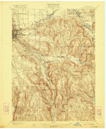
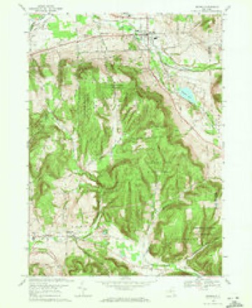
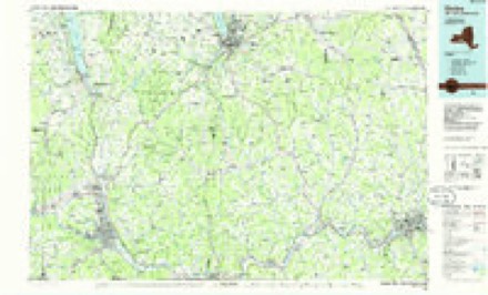
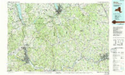
27 topographic sheets cover this place, the earliest surveyed in 1900 and the latest in 1992. It stands in Dryden town. It lies in ZIP code area 13053. It stands on Egypt Creek. The Survey maps it on the Dryden quadrangle. 1,887 people lived here at the 2020 count. It stands 1,093 feet above sea level.
Then and now
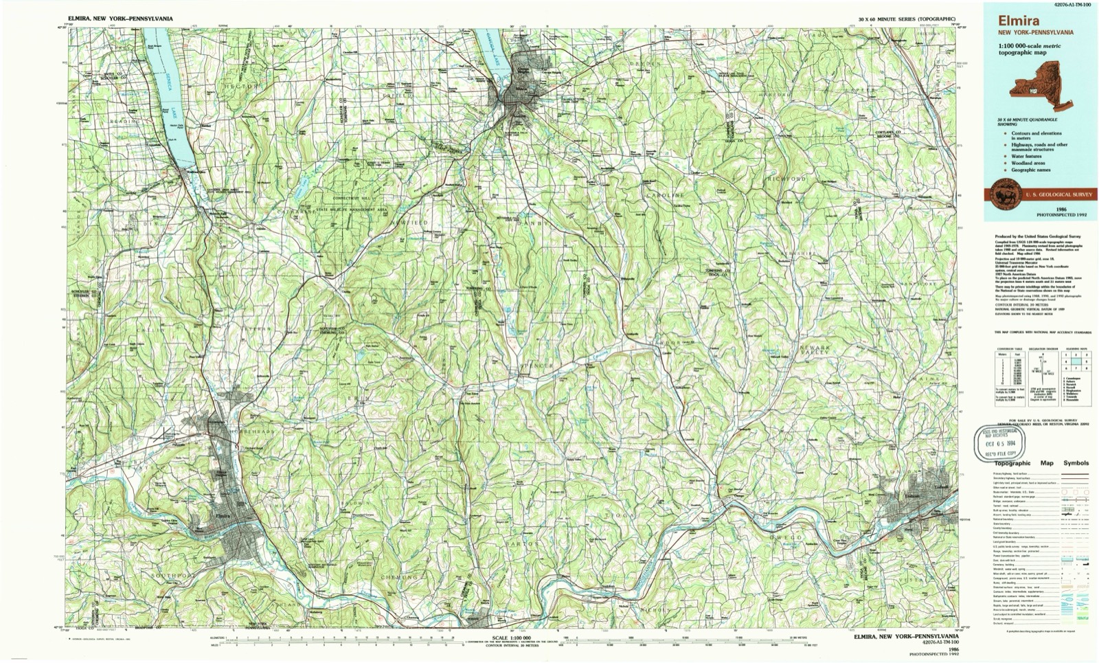
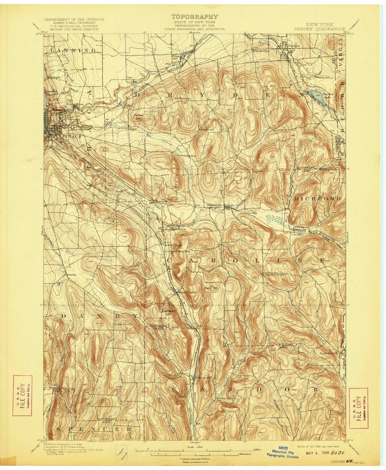
1900 to 1992The same ground, surveyed 92 years apart. Drag the handle to wipe between them. Both sheets are United States Geological Survey originals; neither has been altered.
On record in Dryden
Buildings and businesses the archive holds for this place. Each opens its own page, with the source record it came from.
On the National Register 10 records
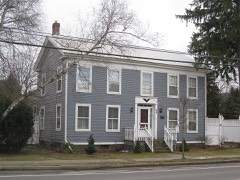 Luther Clarke Houselisted 1984
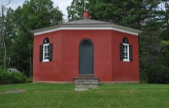 Dryden District School No. 5listed 1994
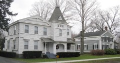 Dryden Historic Districtlisted 1984
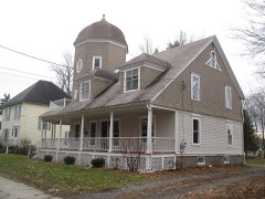 Jennings-Marvin Houselisted 1984
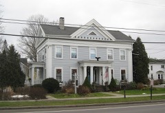 Lacy-Van Vleet Houselisted 1984
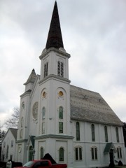 Methodist Episcopal Churchlisted 1984
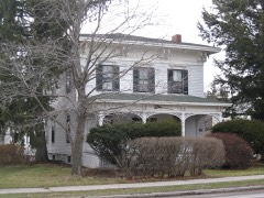 Rockwell Houselisted 1984
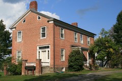 Southworth Houselisted 1984
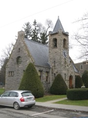 Southworth Librarylisted 1984
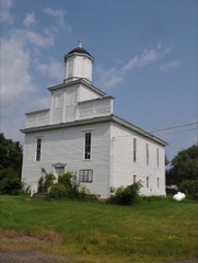 West Dryden Methodist Episcopal Churchlisted 1991
Population over time
2 figuresDryden fell from 1,890 to 1,887 between 2010 and 2020. These are the recorded population figures Wikidata holds for this place, reached through the Geographic Names Information System number this page is keyed on rather than by name, so they belong to this place and not to another of the same name. Most are census counts, but not all are: an early figure may be a founding or settlement estimate, and an estimate published within five years of a census is left out. The change column is computed, and is left blank where more than 20 years separate a figure from the one before it, because a gap that long is not a change between two counts.
| Year | People | Change |
|---|---|---|
| 2010 | 1,890 | |
| 2020 | 1,887 | -3 (-0%) |
Topographic sheets covering this place
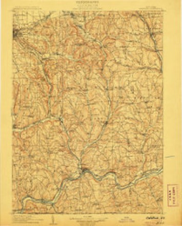
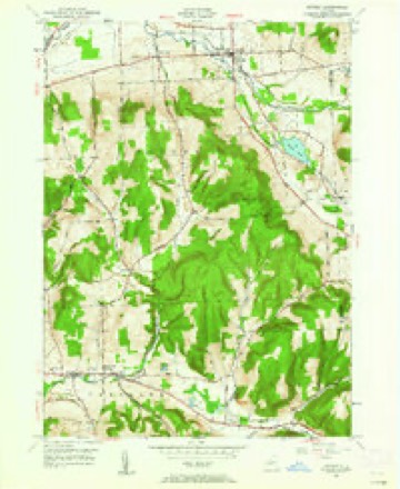
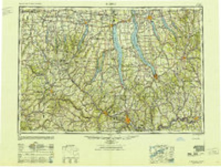
11 surveys from 27 printed sheetsMatched by testing this settlement's coordinate against the published boundary of every sheet in the United States Geological Survey's historical collection. Each opens the scanned sheet at the Survey.
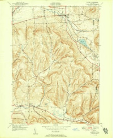
- 1900 USGS Dryden quadrangle1:62500, 9 printings
- 1906 USGS Catatonk quadrangle1:125000
- 1949 USGS Dryden quadrangle1:24000
- 1950 USGS Elmira quadrangle1:250000, 2 printings
- 1951 USGS Dryden quadrangle1:24000, 2 printings
- 1958 USGS Elmira quadrangle1:250000, 2 printings
- 1962 USGS Elmira quadrangle1:250000, 4 printings
- 1965 USGS Elmira quadrangle1:250000
- 1969 USGS Dryden quadrangle1:24000, 3 printings
- 1986 USGS Elmira quadrangle1:100000
- 1992 USGS Elmira quadrangle1:100000
Fires near this place
46 since 1999Regional context, not property-specific evidence. The federal wildfire occurrence database lists 46 fires within 5 miles of Dryden between 1999 and 2020, burning about 32 acres in total. 6 started naturally. 7 were recorded as arson. Distance is straight-line from the map coordinates, so a fire counted here may appear on a neighbouring settlement's page as well.
| Reported cause | Fires |
|---|---|
| Missing data/not specified/undetermined | 20 |
| Debris and open burning | 10 |
| Arson/incendiarism | 7 |
| Natural | 6 |
| Smoking | 2 |
| Equipment and vehicle use | 1 |
The most recent of them, most recent first, with the day each was reported and the service that recorded it.
| Date | Cause | Size | Reported by | Name on the report |
|---|---|---|---|---|
| 8 September 2015 | Missing data/not specified/undetermined | under an acre | Fire Department of New York | N/A |
| 22 September 2019 | Missing data/not specified/undetermined | under an acre | Fire Department of New York | N/A |
| 22 September 2017 | Arson/incendiarism | under an acre | Fire Department of New York | N/A |
| 21 September 2017 | Arson/incendiarism | under an acre | Fire Department of New York | N/A |
| 18 September 2005 | Missing data/not specified/undetermined | under an acre | Fire Department of New York | not named |
| 8 August 2014 | Missing data/not specified/undetermined | under an acre | Fire Department of New York | N/A |
| 26 August 2020 | Natural | under an acre | Fire Department of New York | NA |
| 26 August 2015 | Debris and open burning | under an acre | Fire Department of New York | N/A |
Settlements close enough to share some of these fires:
Mines and quarries near this place
4 within 5 milesRegional context, not property-specific evidence. The federal mineral resources record lists 4 workings within 5 miles of Dryden: 2 past producers, 2 producers. 2 still produce. What was taken out: Sand and Gravel, Construction. Distance is straight-line from the map coordinates, so a quarry counted here may appear on a neighbouring settlement's page as well.
| Where | Site | Commodity | Status | Recorded |
|---|---|---|---|---|
| Mott Road Pit | Sand and Gravel, Construction | Past Producer | ||
| Osbecks Pit | Sand and Gravel, Construction | Producer | ||
| Oskecks Pit | Sand and Gravel, Construction | Past Producer | Sedimentary | |
| Talari Co-Talsons Jr. Pit | Sand and Gravel, Construction | Producer |
Storms near this place
32 since 1993Regional context, not property-specific evidence. The National Weather Service names Dryden in 32 storm reports between 1993 and 2024: 20 thunderstorm wind, 7 hail, 3 lightning, 2 tornado. The reports record 2 injuries. Each account below is quoted exactly as the forecast office filed it, from the NOAA Storm Events Database, and each date opens the federal record of that event.
| When | Event | Place named | Harm | What the report says |
|---|---|---|---|---|
| August 2003 | Lightning | Dryden | 1 hurt, $2,000 | Lightning struck a car causing injuries to the driver and damage to the car. The 25 year old woman had pains in her chest and right arm. The car had the damage to the right passenger window, the side view mirror, alternator wires, and one tire. |
| September 2000 | Lightning | Dryden | 1 hurt | Lightning hit 86 year old man, the house he was in and tree in yard. Man not hurt. Tree down by lightning in yard. |
| August 1994 | Tornado (F0) | Dryden | $500,000 | An isolated thunderstorm produced a weak tornado in the town of Dryden along State Routes 13 and 392. A barn collapsed. Several large trees were downed on homes. A large tree fell on a car and destroyed it. Power and telephone lines were taken down. Several buildings sustained light roof damage. Roof shingles were blown off. Eaves were peeled up. Chimneys were damaged. Windows were blown out. About a hundred trees sustained damage. |
| September 1993 | Thunderstorm Wind | Dryden | $50,000 | no account filed |
| October 2017 | Thunderstorm Wind | Dryden | $30,000 | A line of thunderstorms produced damaging wind gusts which knocked down trees and wires. |
| June 2020 | Lightning | Dryden | $10,000 | A lightning strike from a thunderstorm caused a house to catch on fire. |
| July 2019 | Thunderstorm Wind | Dryden | $10,000 | Strong thunderstorm winds brought down a couple of trees and wires. |
| May 2018 | Thunderstorm Wind | Dryden | $10,000 | Thunderstorm winds blew numerous trees down. |
| May 2018 | Thunderstorm Wind | Dryden | $10,000 | Thunderstorm winds blew numerous trees down. |
| June 1998 | Thunderstorm Wind | Dryden | $10,000 | The southern end of a line of severe thunderstorms affected eastern sections of the county. Several trees were uprooted or otherwise toppled in the town of Dryden around 900 am EDT. Power lines were also downed with a couple of streets closed off to traffic until crews were able to clear live wires. |
| September 1998 | Thunderstorm Wind | Dryden | $10,000 | The same thunderstorm complex that affected portions of Steuben and Schuyler counties produced isolated wind damage in southeastern Tompkins county. A few large trees were blown down in and near the town of Dryden. |
| June 2023 | Thunderstorm Wind | Dryden | $5,000 | Strong thunderstorm winds knocked down multiple trees. |
| August 2023 | Tornado (EF0) | Dryden | $5,000 | A tornado touched down near the intersection of Route 38 and Purvis Road in far eastern Tompkins County and knocked down some trees near the border of Tompkins and Cortland County. It then continued in Cortland County for many miles, finally lifting in a wooded area between West River Road and the Tioughnioga River ||At the time that the tornado touched down in Tompkins County, it was an EF-0, but it became an EF-1 in Cortland County. The majority of damage occurred in Cortland County. |
| May 2020 | Thunderstorm Wind | Dryden | $5,000 | Strong thunderstorm winds brought down a tree across a road. |
| August 2020 | Thunderstorm Wind | Dryden | $5,000 | Strong thunderstorm winds brought down wires at Ferguson and South Streets. |
| June 2011 | Thunderstorm Wind | Dryden | $5,000 | Numerous trees were blown down in and around the town. |
| July 2005 | Thunderstorm Wind | Dryden | $5,000 | Thunderstorm winds downed trees and power lines. |
| August 1995 | Thunderstorm Wind | Dryden | $5,000 | no account filed |
| June 1994 | Thunderstorm Wind | Dryden | $5,000 | no account filed |
| May 1996 | Thunderstorm Wind | Dryden | $4,000 | no account filed |
| June 2022 | Thunderstorm Wind | Dryden | $2,000 | Strong thunderstorm winds knocked down a tree onto powerlines. |
| August 2007 | Thunderstorm Wind | Dryden | $2,000 | Numerous trees were blown down. |
| August 2007 | Thunderstorm Wind | Dryden | $2,000 | Numerous trees and power lines were blown down. |
| July 2022 | Thunderstorm Wind | Dryden | $1,000 | Strong thunderstorm winds knocked down a large tree across a driveway and into the yard of a residence. |
| July 2008 | Hail | Dryden | - | A 55 mph wind gust was also measured on Simmons Road. |
| June 2024 | Hail | Dryden | - | no account filed |
| July 2019 | Hail | Dryden | - | no account filed |
| June 2014 | Thunderstorm Wind | Dryden | - | no account filed |
| June 2011 | Hail | Dryden | - | no account filed |
| July 2010 | Hail | Dryden | - | no account filed |
| July 2010 | Hail | Dryden | - | no account filed |
| July 2010 | Hail | Dryden | - | no account filed |
Nearest settlements
The eight closest, with where each one stands in the county. Distances are straight-line, computed from the Geographic Names Information System coordinates.
| Map | Place | Distance | Sheets |
|---|---|---|---|
| Lacy Corners | 1.0 miles | 24 | |
| Willow Glen | 1.6 miles | 27 | |
| Red Mills | 2.8 miles | 24 | |
| Freeville | 3.1 miles | 24 | |
| McLean | 4.2 miles | 24 | |
| Etna | 4.6 miles | 27 | |
| Fall Creek Parke | 4.9 miles | 27 | |
| Peruton | 5.0 miles | 24 |
Elsewhere
Matched on this settlement's Geographic Names Information System number rather than its name, so it cannot be a different place of the same name in another state.
| Wikipedia article on Dryden | An encyclopaedic summary. Its text is share-alike, so it is linked here rather than copied. |
| Wikidata item Q3461934 | The structured record the population and elevation above come from. Public domain (CC0). |
Provenance
This settlement is recorded in the Geographic Names Information System as feature 948704. The sheet list is computed by point-in-boundary test against the United States Geological Survey's historical topographic inventory. Both are works of the United States government and carry no copyright under 17 U.S.C. 105.
Wildfire. Short, Karen C. 2022. Spatial wildfire occurrence data for the United States, 1992-2020 [FPA_FOD_20221014]. 6th Edition. Fort Collins, CO: Forest Service Research Data Archive. https://doi.org/10.2737/RDS-2013-0009.6 Collected with United States Government funding and usable without additional permissions or fees.
Mines and quarries. USGS Mineral Resources Data System (MRDS) https://mrdata.usgs.gov/mrds/ A work of the United States government, no copyright under 17 U.S.C. 105.
Storms. NOAA National Centers for Environmental Information, Storm Events Database https://www.ncei.noaa.gov/stormevents/ A work of the United States government, no copyright under 17 U.S.C. 105. Narratives are quoted verbatim from the National Weather Service report and are not edited or summarised.