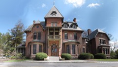
Block
BlockFrom the record
64 National Register listings published here, 1 of them a National Historic Landmark.
Sources: the National Register database, National Park Service
133 topographic sheets cover 84 settlements here, and 64 properties are on the National Register of Historic Places.
64 National Register listings published here, 1 of them a National Historic Landmark.
Sources: the National Register database, National Park Service
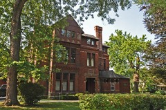
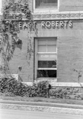
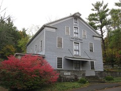
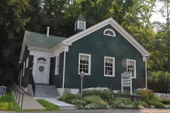
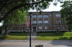
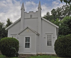
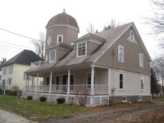
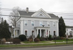
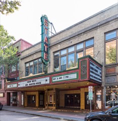
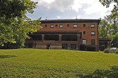
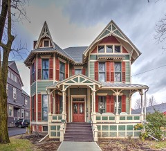
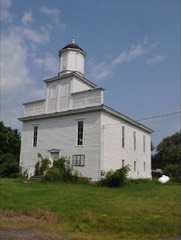
Every property in this county listed on the National Register of Historic Places, with the year it was listed and the federal nomination document.
Tompkins County has 1 covered bridge on the National Register. Each is a listed structure with a federal nomination on file.
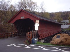 | Newfield Covered Bridge | Listed 2000, 33 map sheets show this crossing |
Drawn when these were printed as single large sheets: the town seen from the air, and the county divided into its farms with every owner named. Each opens the original at the Library of Congress.

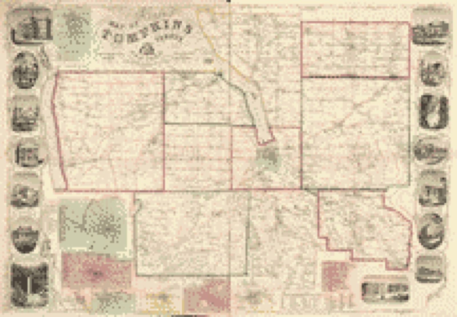
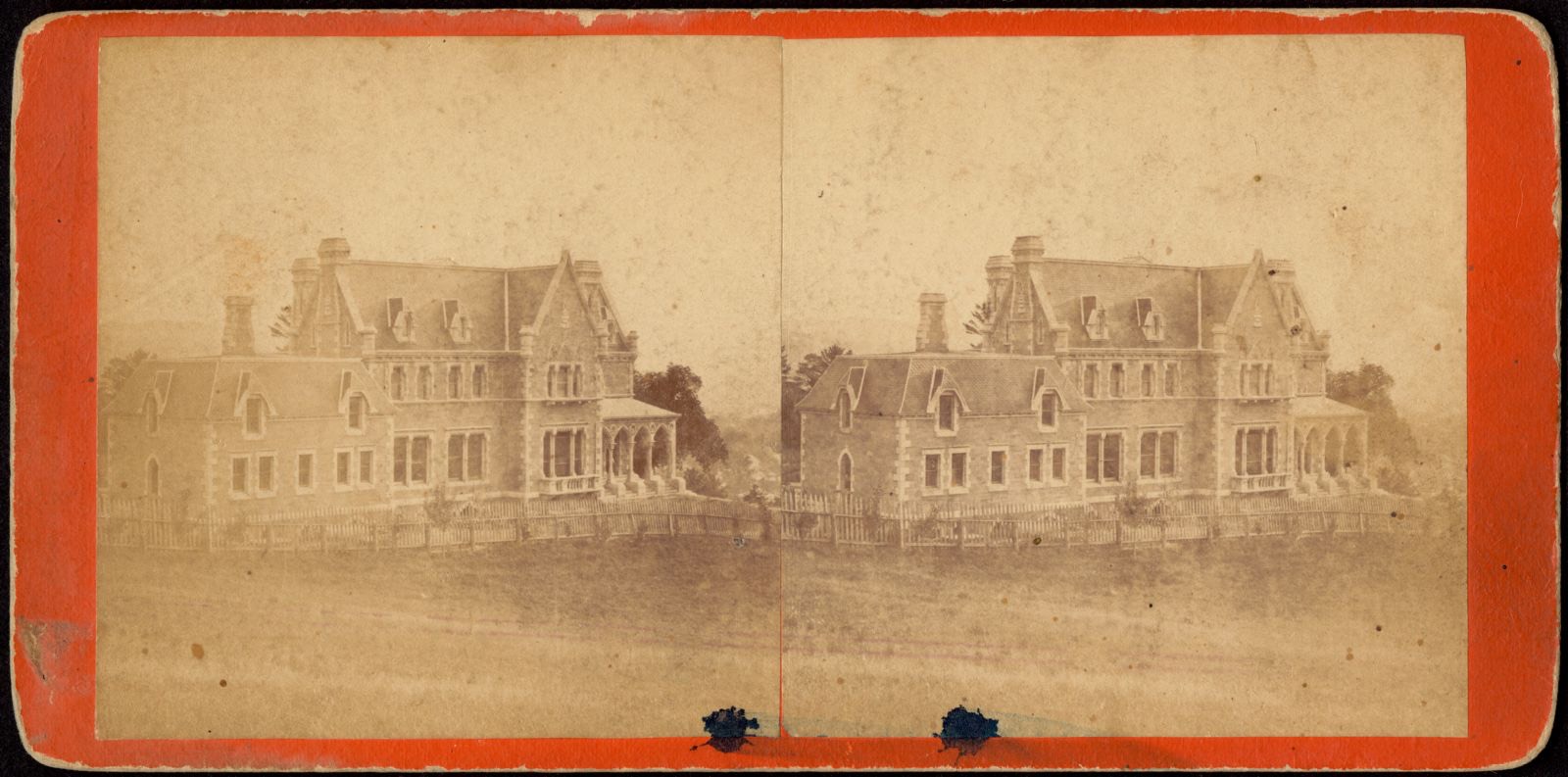
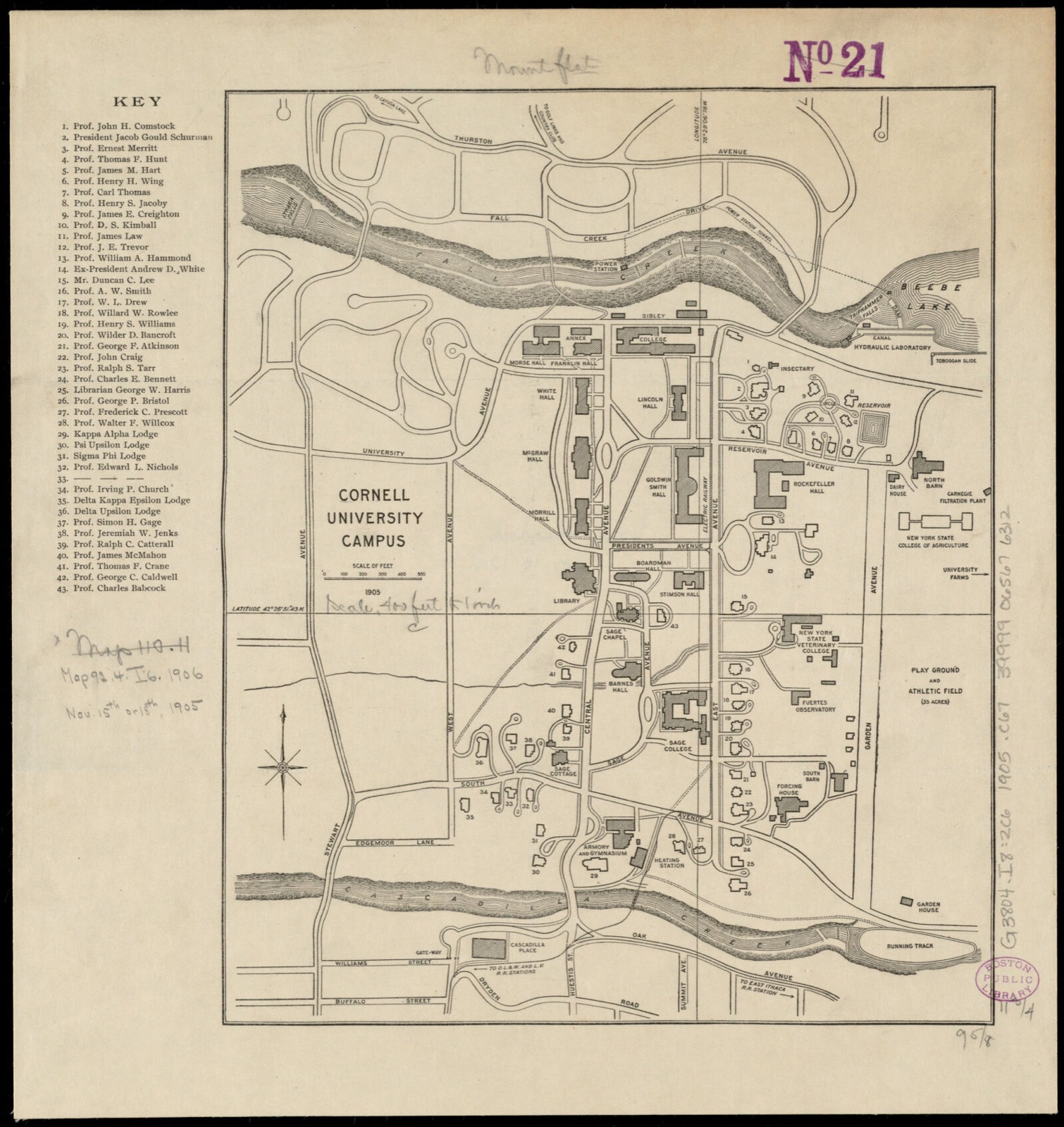
Selected from the Digital Public Library of America's 43 image records catalogued for this county. Every one shown here carries a public-domain status or a licence that permits reuse on a site that carries advertising; non-commercial, share-alike and restricted images are excluded. The selection is spread across the county's towns (at most eight per town), so no single institution's bulk upload crowds out the rest. Each opens the holding library's record, and the complete set at the Digital Public Library of America is one click away.
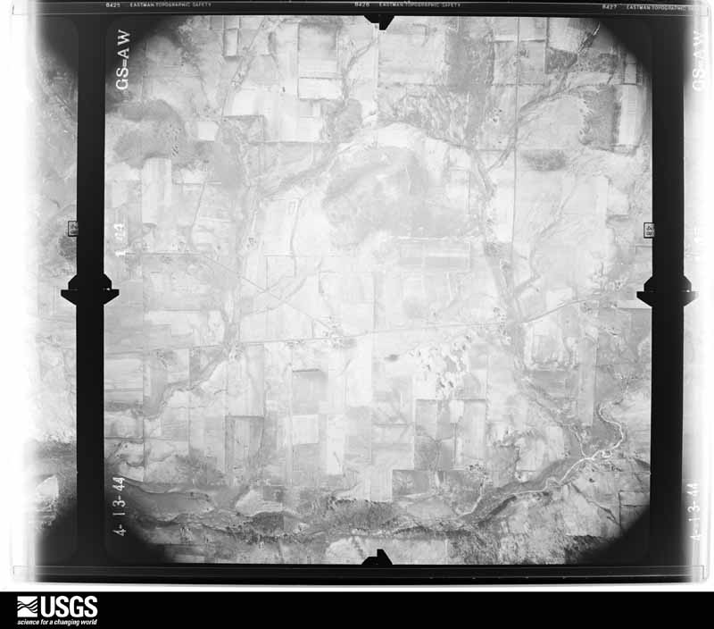
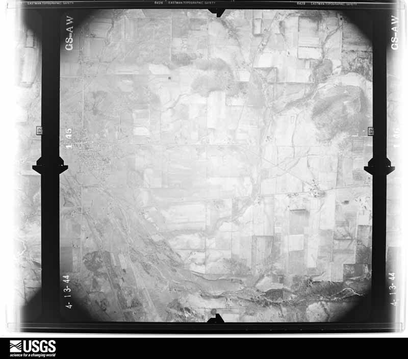
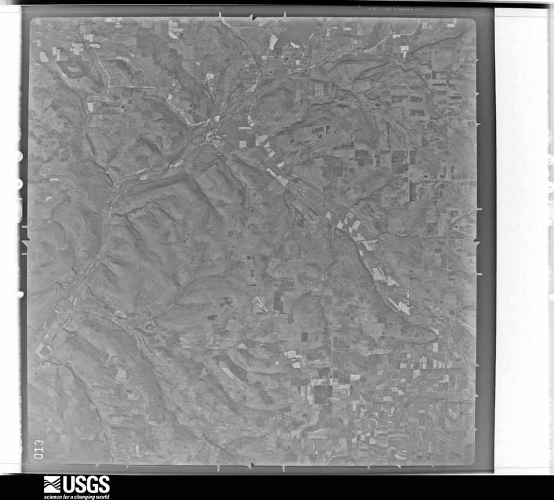
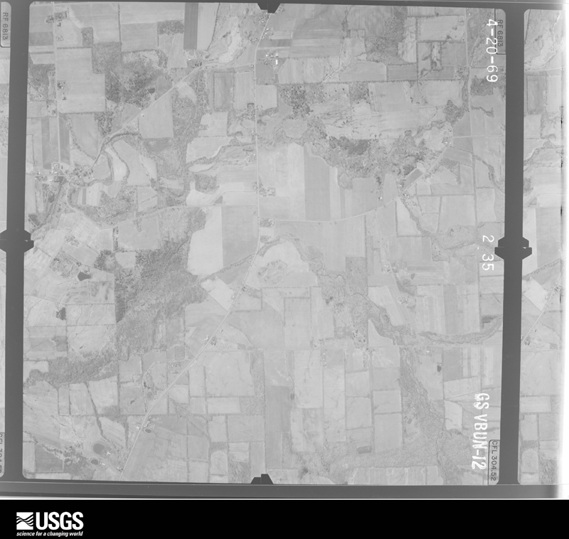
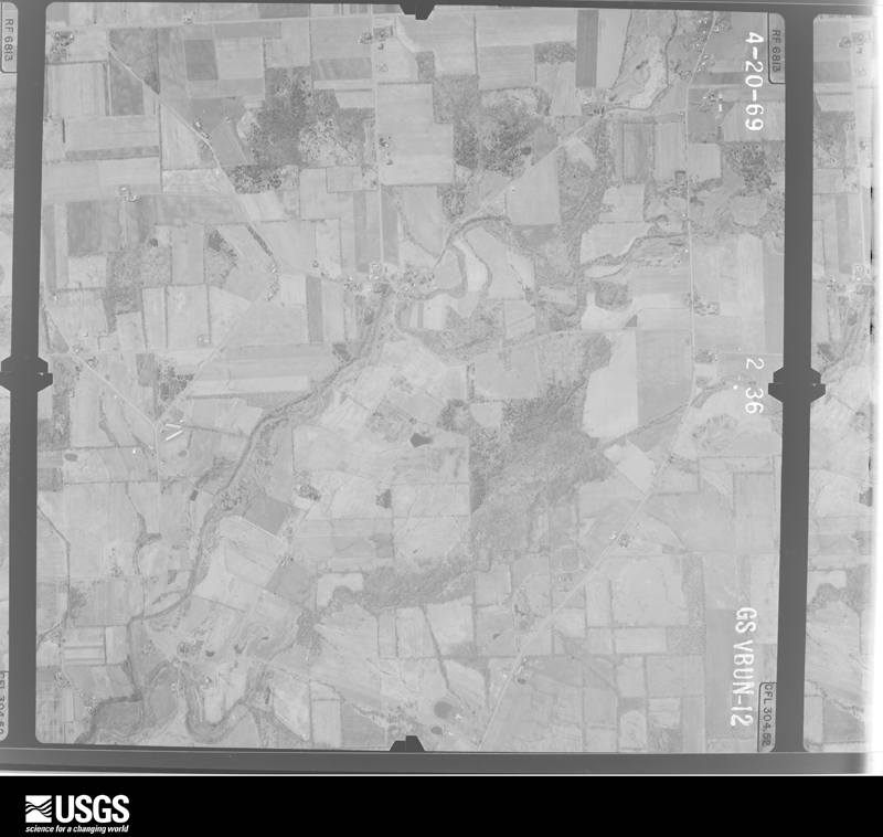
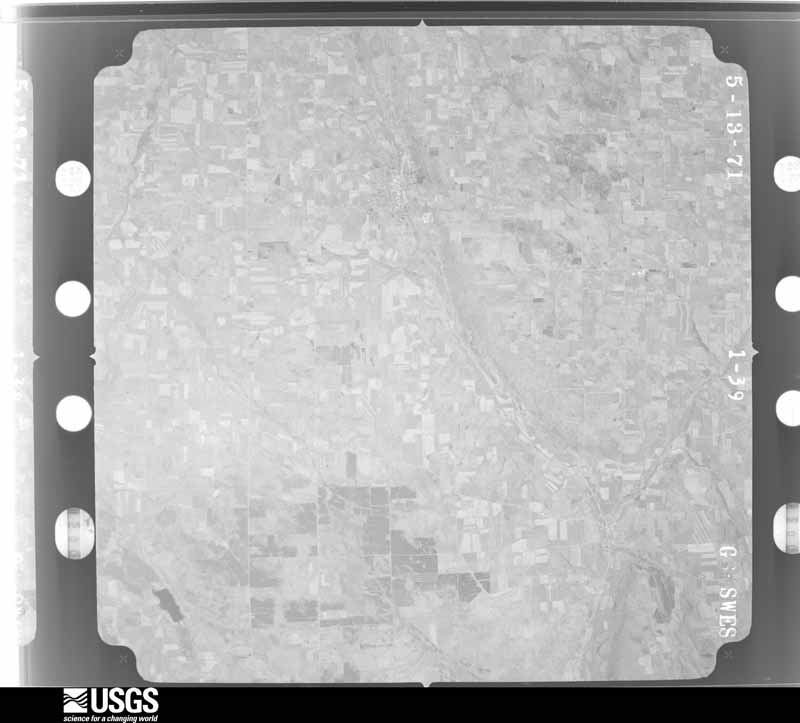
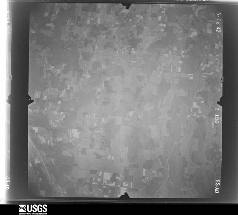
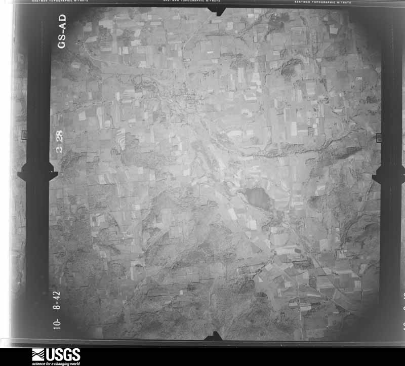
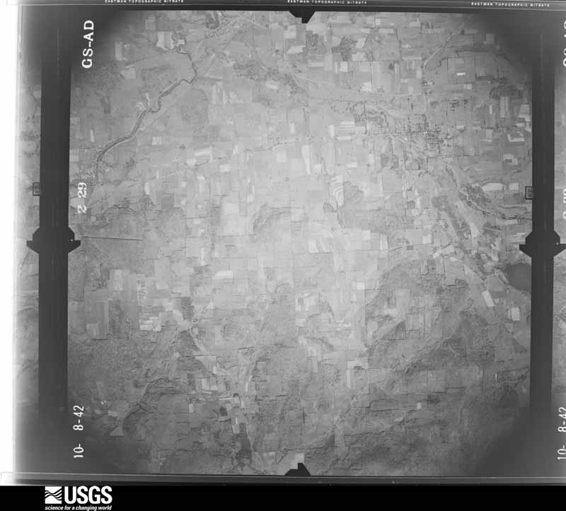
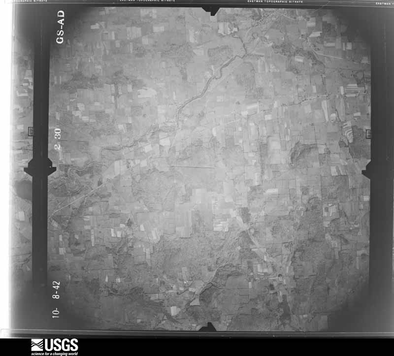
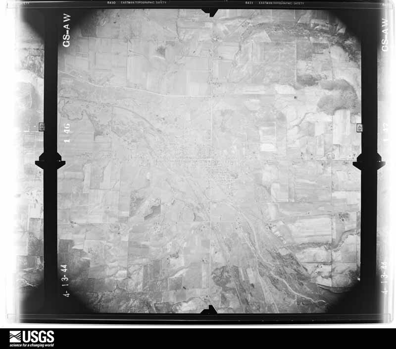
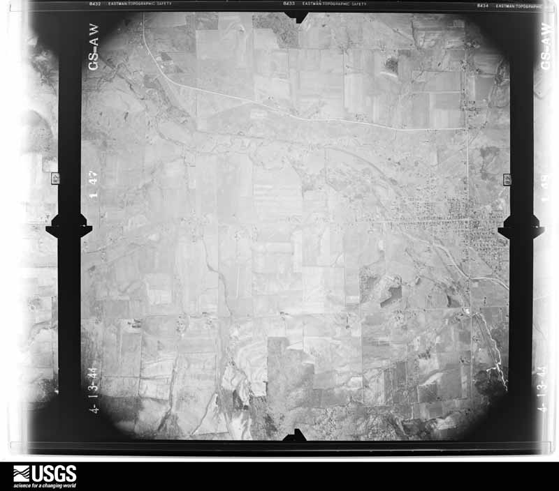
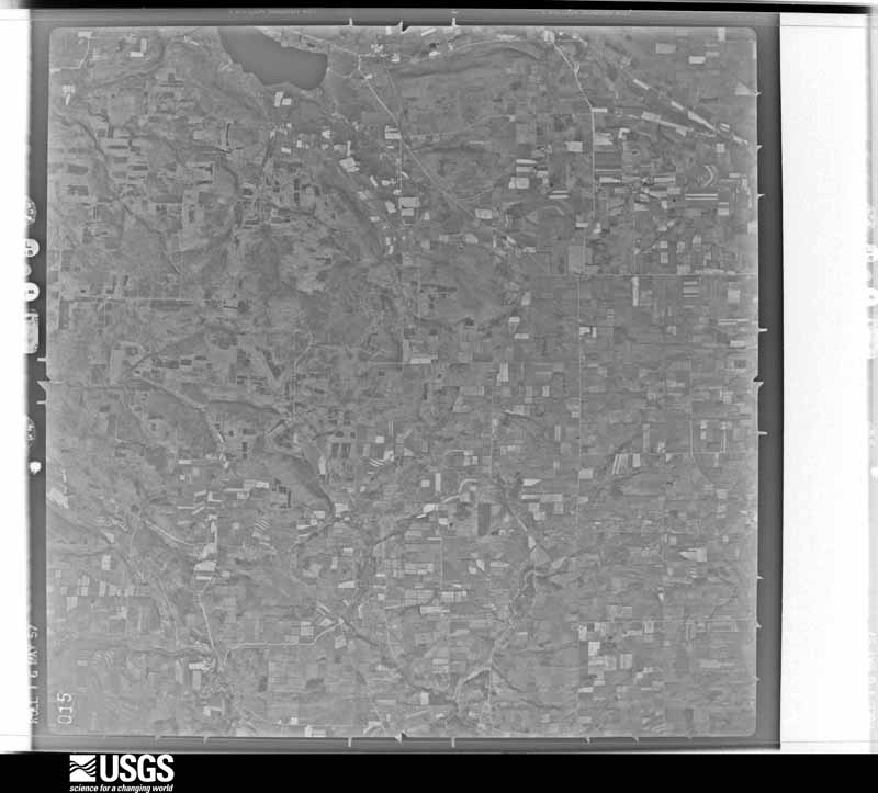
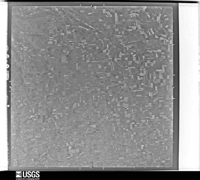
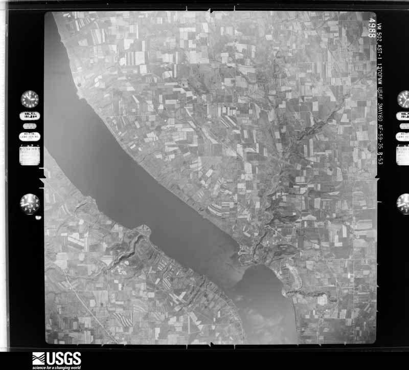
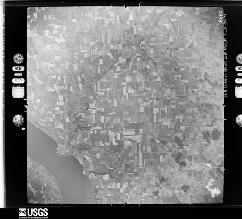
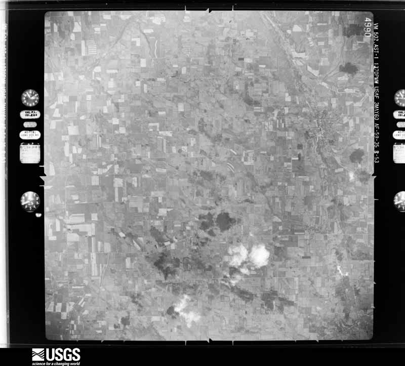
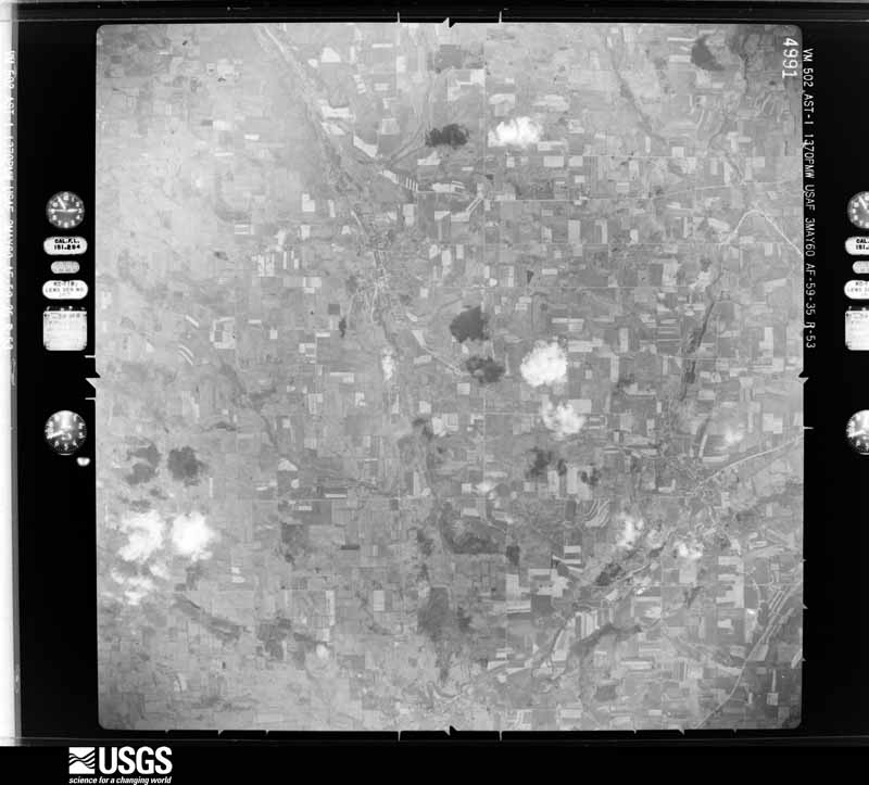
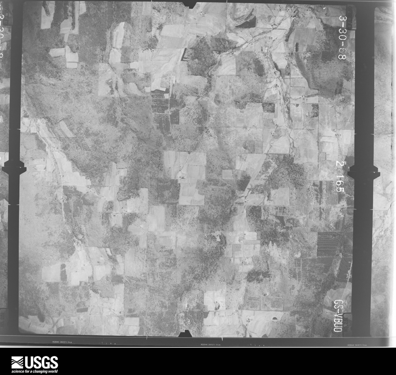
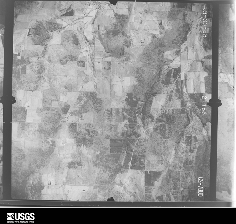
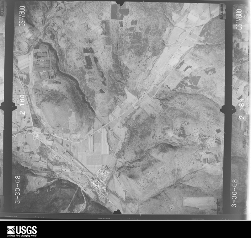
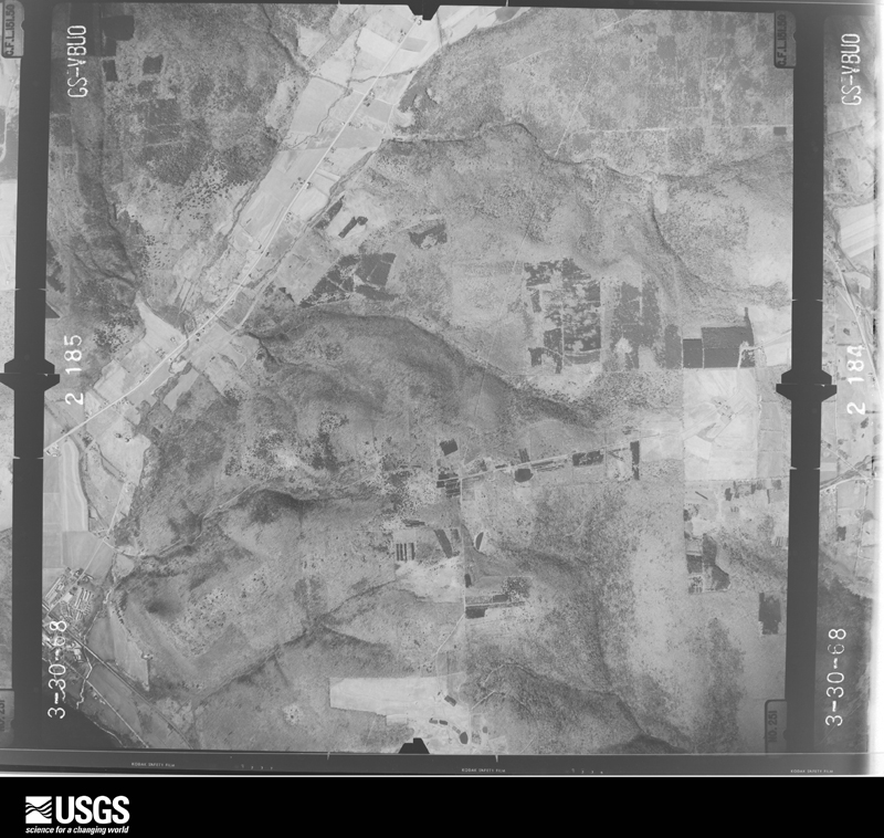
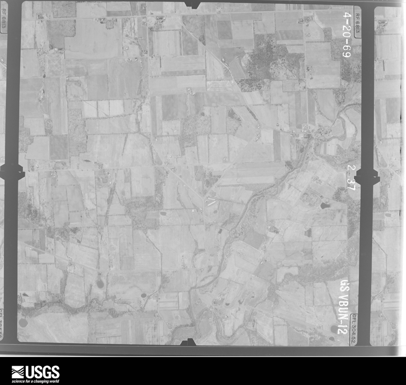
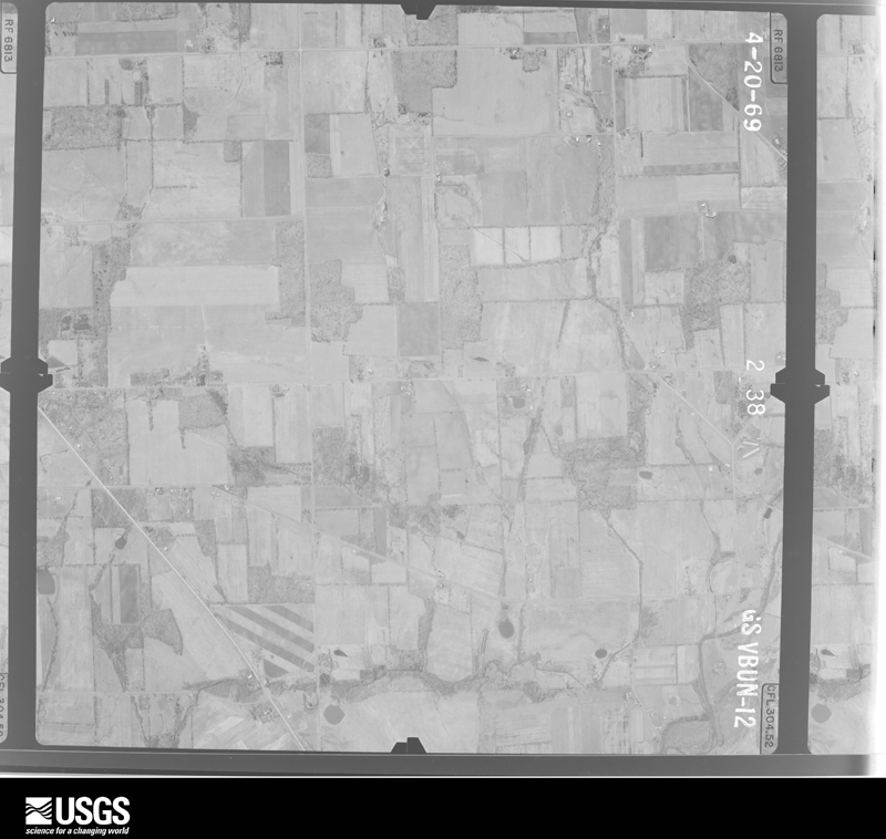
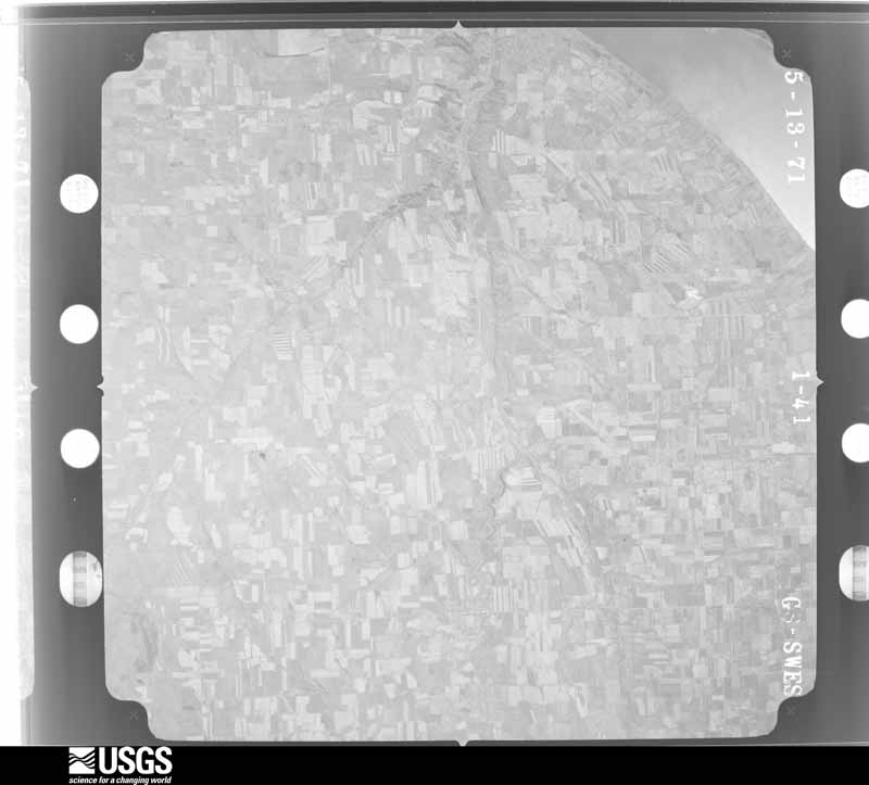
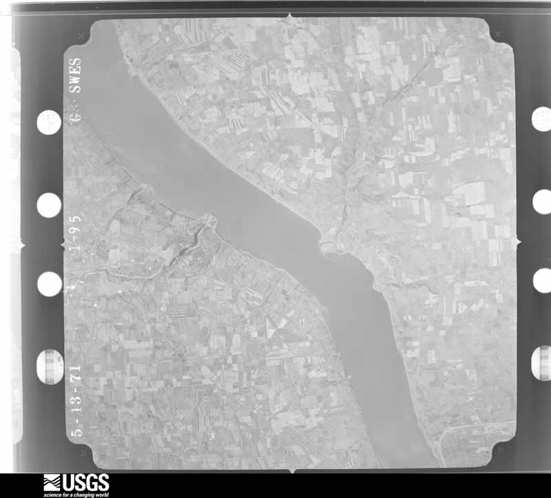
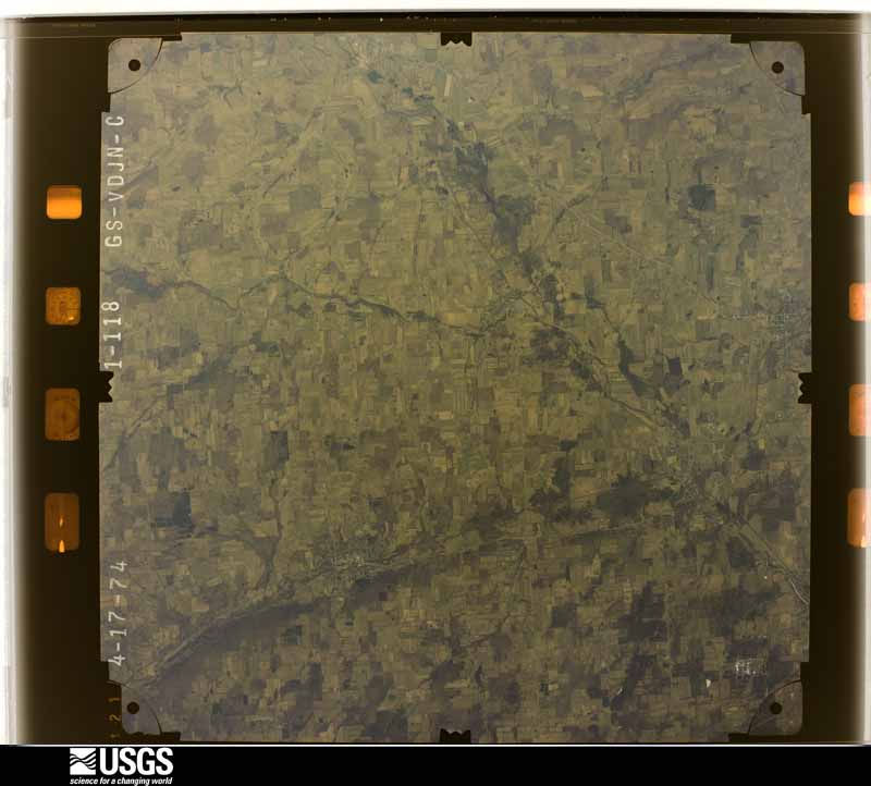
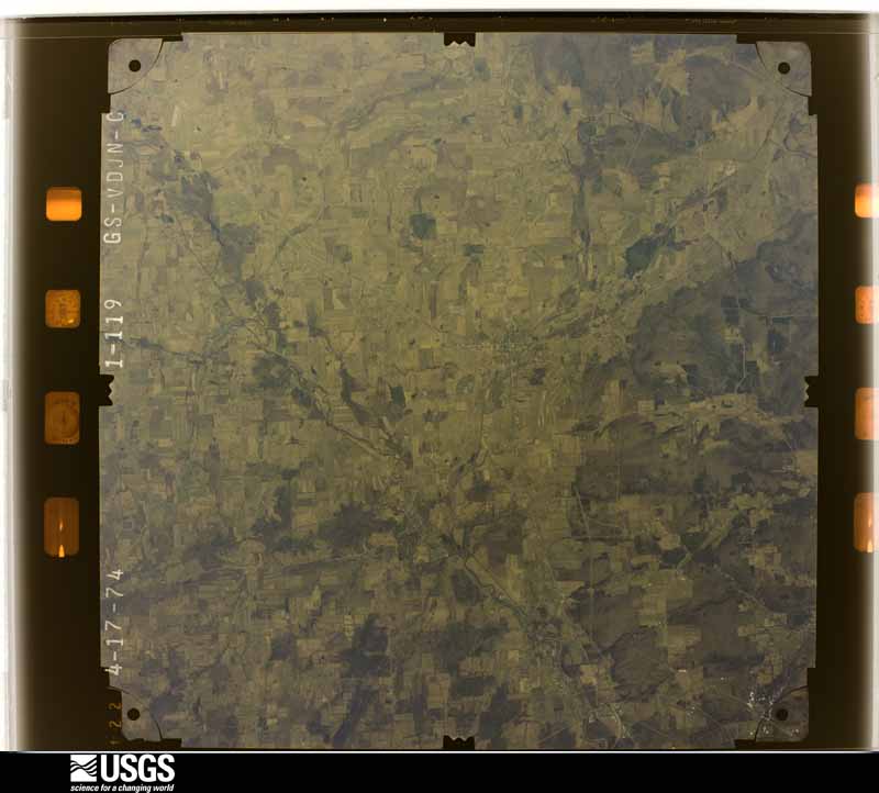
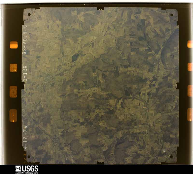
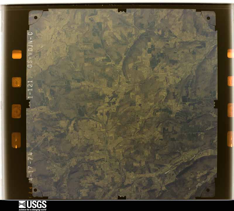
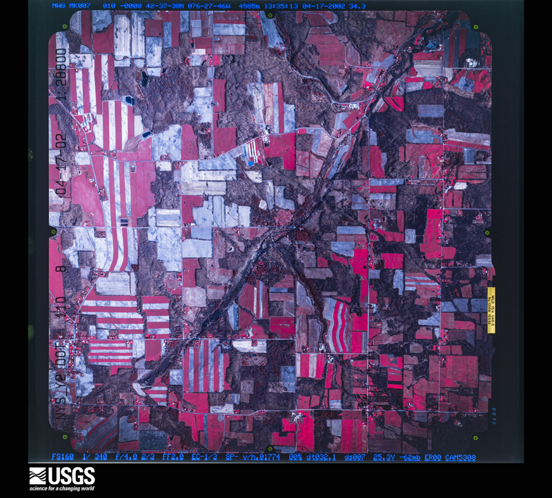
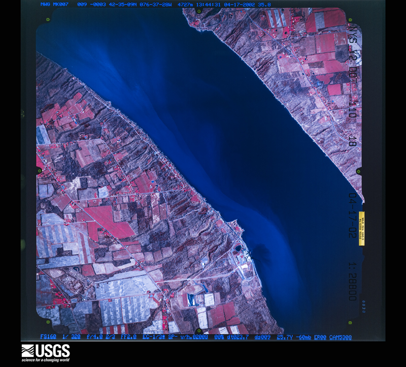
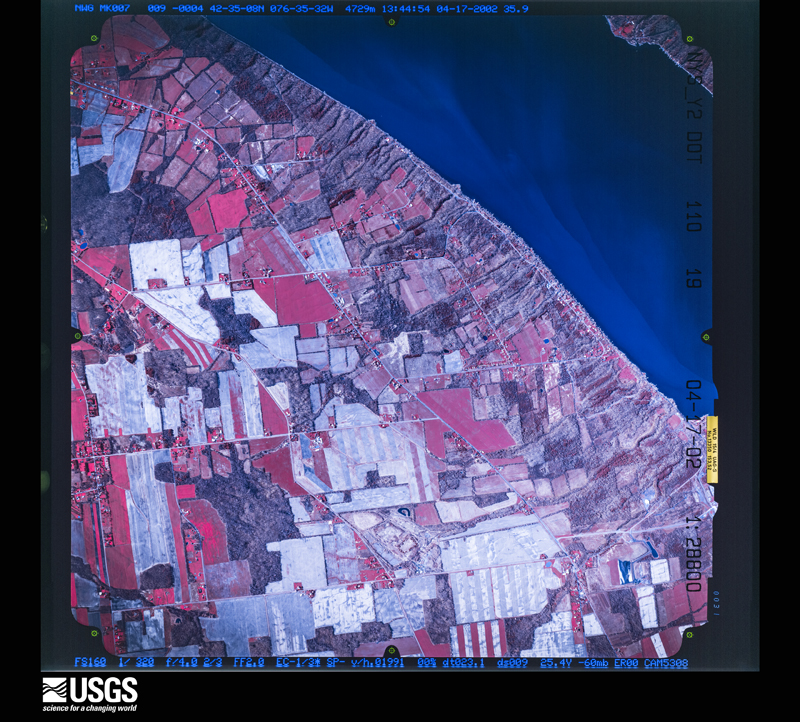
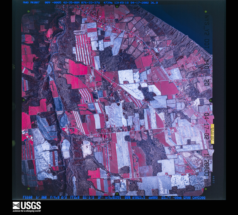
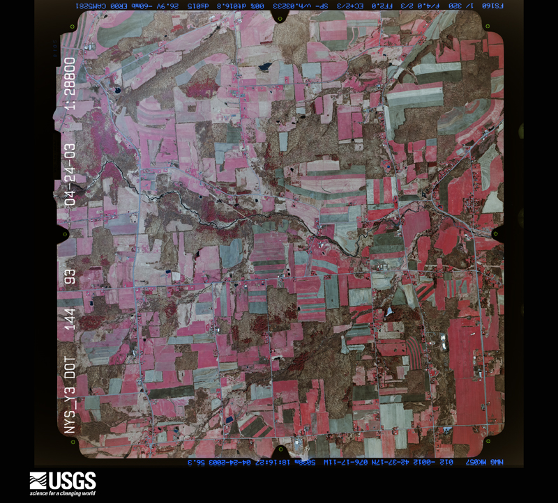
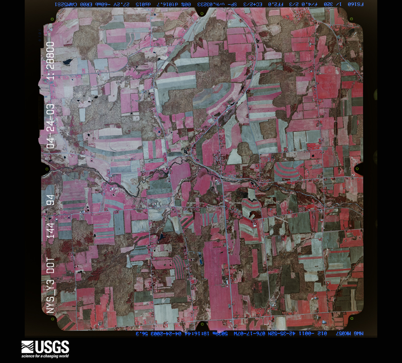
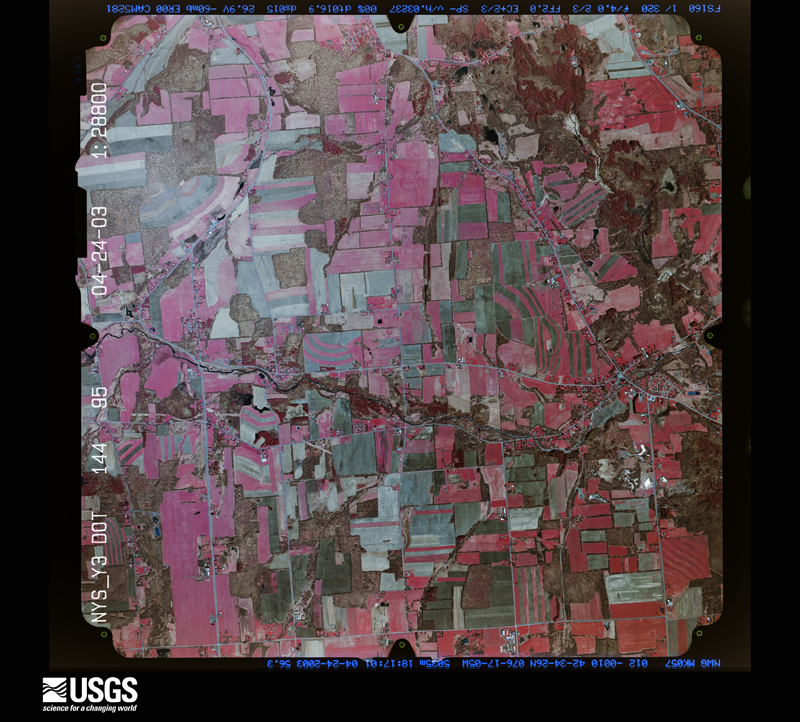
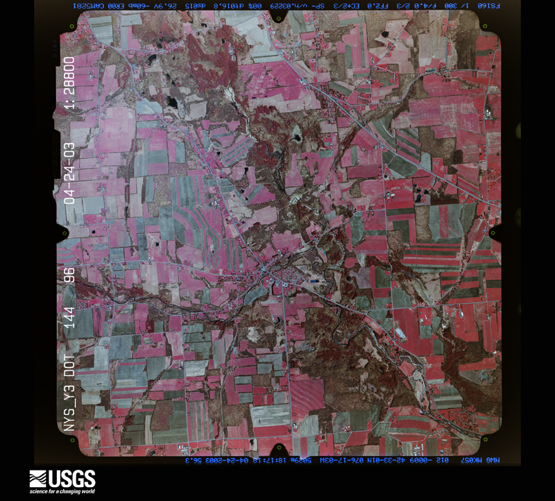
Flown by the U.S. Geological Survey between 1937 and 1989, the Aerial Photo Single Frames collection is the definitive mid-century view of the land: fields, roads and rivers as the camera saw them. The Survey holds 1,436 frames inside the rectangle that bounds this county; the 40 frames below were taken over the county itself, chosen across the decades of flights (at most four a year from that rectangle), so one flight cannot crowd out the rest. The full set is free to browse and download at EarthExplorer under the dataset Aerial Photo Single Frames.


The thermometers that kept this county's weather, and the gages that measured the flow of its streams, as the federal records hold them. The extremes below are measured values from those records, not estimates.
Who lived here in 1950, one enumeration district at a time, as the Census Bureau described each district. Each row opens its official National Archives result, with Population Schedules and ED Maps available there.
Every wildfire the federal occurrence database records inside this county: 436 of them, burning about 320 acres. 37 started naturally and 62 were recorded as arson. Each settlement page carries the fires within five miles of it.
| Reported cause | Fires |
|---|---|
| Missing data/not specified/undetermined | 223 |
| Arson/incendiarism | 62 |
| Debris and open burning | 59 |
| Natural | 37 |
| Smoking | 27 |
| Equipment and vehicle use | 14 |
| Power generation/transmission/distribution | 5 |
| Misuse of fire by a minor | 5 |
| Recreation and ceremony | 4 |
The five largest, by the area the report gives. None of them was recorded as arson.
| Date | Cause | Size | Reported by | Name on the report |
|---|---|---|---|---|
| 3 April 2010 | Smoking | 11 acres | New York Forest Rangers | not named |
| 29 April 1992 | Missing data/not specified/undetermined | 10 acres | New York Forest Rangers | not named |
| 26 April 2017 | Debris and open burning | 6.3 acres | Fire Department of New York | N/A |
| 12 June 2016 | Debris and open burning | 6.3 acres | Fire Department of New York | N/A |
| 25 May 2020 | Natural | 5.0 acres | Fire Department of New York | NA |
| 17 March 2020 | Missing data/not specified/undetermined | 5.0 acres | Fire Department of New York | NA |
| 15 April 2020 | Missing data/not specified/undetermined | 5.0 acres | Fire Department of New York | NA |
| 30 June 2020 | Missing data/not specified/undetermined | 5.0 acres | Fire Department of New York | NA |
Every settlement page carries the fires within five miles of it - see the settlement index below.
The NOAA Storm Events Database holds 420 reports for this county, causing no deaths, 2 injuries and about $27,418,000 in recorded property damage. Each settlement page carries the reports that name it.
| Kind of event | Reports |
|---|---|
| Thunderstorm Wind | 260 |
| Hail | 102 |
| Flash Flood | 33 |
| Tornado | 8 |
| Lightning | 7 |
| Flood | 6 |
| Heavy Rain | 2 |
| Funnel Cloud | 2 |
The most serious of them, by death, then injury, then recorded damage. The accounts are quoted exactly as the forecast office filed them.
| When | Event | Place named | Harm | What the report says |
|---|---|---|---|---|
| August 2003 | Lightning | Dryden | 1 hurt, $2,000 | Lightning struck a car causing injuries to the driver and damage to the car. The 25 year old woman had pains in her chest and right arm. The car had the damage to the right passenger window, the side view mirror, alternator wires, and one tire. |
| September 2000 | Lightning | Dryden | 1 hurt | Lightning hit 86 year old man, the house he was in and tree in yard. Man not hurt. Tree down by lightning in yard. |
| January 1996 | Flash Flood | Countywide | $19,000,000 | no account filed |
| June 2015 | Flash Flood | Trumbulls Corners | $1,500,000 | Flooding caused the washout of numerous bridges in the area. Several homes were flooded to the first floor. The Shelter Valley mobile home park was evacuated. |
| May 2012 | Hail | South Hill | $1,000,000 | This hailstorm caused major damage to a car dealership denting over 1000 cars leading to significant financial loss of the car company. |
| November 1996 | Flash Flood | Countywide | $900,000 | no account filed |
| July 2003 | Flash Flood | Ithaca | $500,000 | Heavy rains fell from late afternoon into early evening causing flash flooding of numerous roads from the City of Ithaca to the Dryden area. |
| August 1994 | Tornado (F0) | Dryden | $500,000 | An isolated thunderstorm produced a weak tornado in the town of Dryden along State Routes 13 and 392. A barn collapsed. Several large trees were downed on homes. A large tree fell on a car and destroyed it. Power and telephone lines were taken down. Several buildings sustained light roof damage. Roof shingles were blown off. Eaves were peeled up. Chimneys were damaged. Windows were blown out. About a hundred trees sustained damage. |
| September 2011 | Flash Flood | Ellis | $400,000 | Major flash flooding occurred on many roads in the Caroline-Slaterville Springs area. |
| August 2003 | Thunderstorm Wind | Groton | $400,000 | Trees and wires down in the towns of Groton and Dryden. Most of the damage was withing half a mile of the village of McLean in the town of Groton. At least 15 houses sustained significant roof and porch damage from very large hardwood trees that were uprooted or had large limbs snapped off. Many trees were also downed along Cemetery Road. Many pines were snapped behind the school. Near Hart Corners (2 miles west of McLean) half of a large sturdy three story barn collapsed. The metal half dome tops of two 60 foot silos collapsed and were partially shredded and torn off on one side. A small barn at the intersection of county roads 107 and 105 was destroyed throwing debris through a wooden picket fence and across a gas station parking lot. None of the plastic cladding or signs at the gas station appeared damaged. Also no damage was visible to roofs on houses other than that caused by falling trees. A large shed was demolished near Salt Road and county road 107. East of county roads 106 and 180 to the Tompkins and Cortland County line, the damage tapered off gradually. |
| August 1988 | Tornado (F1) | not stated | $250,000 | no account filed |
| April 2005 | Flash Flood | Countywide | $200,000 | no account filed |
| June 2002 | Thunderstorm Wind | Groton | $150,000 | Numerous trees and a few wires downed. The Groton Rural Cemetery had a large number of huge old trees fall down. The largest monument in the cemetery received damage when the obelisk topping it fell off. It broke into three pieces when it hit the ground. An estimate for the repair was more than $100,000. A tree fell onto a house. Another tree fell onto a gazebo. |
| April 2011 | Tornado (EF1) | Newfield Skyhook Arp | $125,000 | The tornado touched down in a forest off of Jersey Hill Road, northwest of the town of Danby. Numerous pine trees were uprooted and snapped in this forest. The tornado tracked from southwest to northeast, snapping numerous pines as it crossed Comfort Road. A metal outbuilding was completely collapsed and a barn across the street received roof damage, with debris lofted into the trees. ||The tornado continued off to the northeast toward the intersection of Beardsley Lane and Danby Road. One home sustained damage when a tree collapsed onto the roof and a window was blown out. Surrounding homes saw numerous trees snapped or uprooted. A small branch was propelled and impaled into a car windshield. ||A homeowner at the intersection of Beardsley Lane and Danby Road had a working anemometer at the time of the tornado. At 1:44 am, a wind gust to 90.3 mph was recorded. No additional tornado damage was noted as the storm headed off to the northeast. |
| August 2014 | Flash Flood | Mc Kinneys Pt | $100,000 | Water was over several roadways in the City of Ithaca, and into a residence. The hardest hit area was the northeast portion of the city. |
| April 2011 | Thunderstorm Wind | Danby | $100,000 | Straight line winds of nearly 100 mph produced significant tree damage. Trees fell on the roof of a house. A home sustained significant damage as the roof was peeled up and strewn 30 yards. Minor siding damage occurred to other houses nearby. Hail (unknown size) also pummeled homes and cars. |
| June 2005 | Lightning | Ithaca | $100,000 | Lightning struck a house starting a fire. The house burned to the ground. |
| July 2023 | Thunderstorm Wind | Krum Corner | $80,000 | A thunderstorm that moved through Tompkins County on the evening|of Monday, July 24th has been determined to have produced a|microburst that destroyed two barns, uprooted trees, and caused a|divergent path of downed trees in the direction of eastward storm|motion. The epicenter of the microburst was most likely at the|intersection of Hayts Road and Sheffield Road in Enfield, NY, where|two barns were lifted off the foundation, mostly destroyed and|displaced northwestward. Progressing eastward on Hayts Road,|uprooted trees and multiple downed trees in the eastward direction|were observed. These damage indicators began to have diverging|directions both northeast- and southeast-ward, indicating the|spread of a wind pool from a microburst. |
| August 1998 | Thunderstorm Wind | Trumansburg | $80,000 | Severe thunderstorms continued eastward from Schuyler county and across the northern tier communities of Tompkins county. A swath of wind damage in the form of downed trees, power lines, and road signs was inflicted from Trumansburg in the far northwestern corner of the county eastward across the Ithaca area and into Groton and Dryden. A couple of homes in Dryden sustained minor roof and siding damage as they were hit by falling trees. Once the storms approached the Tompkins/Cortland county line, they began to weaken temporarily. |
| July 2017 | Flash Flood | Mc Kinneys Pt | $75,000 | Several roads were flooded by torrential thunderstorm rainfall from Lansing to Dryden. |
| August 2013 | Flash Flood | Enfield | $75,000 | A bridge was washed out at the intersection of Harvey Hill Road and State Route 327. |
| March 2026 | Flash Flood | Mc Kinneys Pt | $50,000 | Officials reported numerous roads flooded throughout the Town of Lansing along with some homes. |
| July 2015 | Flash Flood | Grotto | $50,000 | Water was flooding roads from Trumansburg to Groton, including severe flooding along Pease Road. |
| August 2013 | Flash Flood | Ithaca | $50,000 | Flood waters covered numerous roads in the area, especially along Routes 96 and 89 to the north of Ithaca. |
| June 2005 | Thunderstorm Wind | Countywide | $50,000 | Thunderstorm winds downed numerous trees and wires. Towns affected were Danby, Ulysses, Ithaca, and Dryden. In the village of Trumansburg, a tree took down 5 utility poles and a couple of transformers. A tree in DeWitt Park in Ithaca fell on a pavilion. A different tree in Ithaca fell on a car. In Dryden, a tree fell on a convertible. |
| July 1994 | Thunderstorm Wind | Ithaca | $50,000 | Thunderstorms developed in a moist, southwest flow ahead of a cold front. Thunderstorm winds downed trees and power lines. On Route 96 in Tompkins County twenty to thirty large trees were downed. |
| May 2012 | Hail | Newfield | $50,000 | no account filed |
| June 2006 | Flash Flood | Caroline | $50,000 | no account filed |
| June 1994 | Thunderstorm Wind | Arthur | $50,000 | no account filed |
| August 1993 | Thunderstorm Wind | Ithaca | $50,000 | no account filed |
| September 1993 | Thunderstorm Wind | Dryden | $50,000 | no account filed |
| June 2021 | Tornado (EF1) | Etna | $49,000 | A tornado touched down in Yellow Barn State Forest, east of Yellow Barn Road. It continued to travel eastward and passed over Card Road. It then struck a farm on Irish Settlement Road, snapping and uprooting multiple trees. Then it continued eastward and crossed through a wooded section of Beam Hill Road. The tornado then struck the yard of a house on the west side of Route 38, causing significant tree damage to the yard, a shed to blow off its foundation, and a blow-down of a fence. The tornado then crossed Route 38 just south of Dryden, before lifting just east of the road. |
| August 2019 | Flash Flood | Danby | $40,000 | Numerous roads were flooded in and around Danby. |
| August 2019 | Flash Flood | Danby | $30,000 | Steam Mill Road was completely washed away at the Danby Creek crossing. |
| October 2017 | Thunderstorm Wind | Dryden | $30,000 | A line of thunderstorms produced damaging wind gusts which knocked down trees and wires. |
| May 1998 | Thunderstorm Wind | Trumansburg | $30,000 | A cluster of severe thunderstorms moved through Tompkins county between 2:15 and 2:50 pm EDT. Numerous trees and power lines were downed as a result of these storms in Trumansburg, Ithaca, Caroline, and Speedsville. |
| October 2021 | Flash Flood | Freeville | $25,000 | Flooding of properties along Mott Road in Dryden reported via social media. |
| July 2015 | Flash Flood | Portland Pt | $25,000 | Flood waters were covering Ridge Road and State Route 34B. |
| November 2006 | Flash Flood | Ithaca | $25,000 | Roads flooded throughout the county. |
| July 1998 | Thunderstorm Wind | Groton | $25,000 | A thunderstorm quickly intensified to severe limits across northern portions of the county just before sunrise. Trees and power lines were downed in the town of Groton around 500 am EDT. A couple of roadways were closed for a short time in the center of town until crews were able to clear fallen trees. |
| June 1969 | Tornado (F1) | not stated | $25,000 | no account filed |
| August 1961 | Tornado (F0) | not stated | $25,000 | no account filed |
| May 2025 | Thunderstorm Wind | Trumbulls Corners | $20,000 | Strong thunderstorm winds caused a silo to collapse on the corner of Sebring Road, County Road 13, and Mezourek Road. |
| June 2018 | Thunderstorm Wind | Lansingville | $20,000 | Thunderstorm winds knocked down trees and wires. A few electric poles were sheared off into a field. |
| August 2013 | Flash Flood | Ithaca | $20,000 | Water was reported to be running across Route 89 from near Taughannock Falls, southward to Ithaca. One foot of water and debris was across the road in spots. |
| September 2011 | Flash Flood | Ithaca | $20,000 | Several roads were flooded around the Ithaca area. |
| November 2005 | Thunderstorm Wind | Enfield | $20,000 | Thunderstorm winds downed trees and wires. |
| June 2004 | Thunderstorm Wind | Ithaca | $20,000 | Thunderstorm winds downed trees and wires throughout city. |
| July 2003 | Thunderstorm Wind | Countywide | $20,000 | Trees and wires down countywide, including West Danby, Enfield, Ulysses, and West Hill area of Ithaca. Over 10,000 electric customers lost power. |
| June 1998 | Thunderstorm Wind | Trumansburg | $20,000 | A cluster of severe thunderstorms developed over the northwestern corner of the county. They produced sporadic wind damage early in the evening as they moved rapidly southeastward through the county. Trees and wires were downed in the Trumansburg area, then additional trees and wires were blown down in and just north of Ithaca. |
| May 2018 | Thunderstorm Wind | Mc Kinneys Pt | $15,000 | Thunderstorm winds blew trees down on a vehicle on Cayuga Heights Road. |
| May 1998 | Thunderstorm Wind | Ithaca | $15,000 | A severe thunderstorm moving across the county blew a tree down onto a van in Ithaca at 3:23 pm EDT. |
| August 1995 | Thunderstorm Wind | Brooktondale | $15,000 | A fast moving line of severe thunderstorms crossed the region causing widespread damage. There were countless reports of downed trees and power lines, many onto cars and houses. Several SKYWARN observers recorded wind gusts of 60-70 mph as the storms moved through. In Niagara County, lightning struck two Lockport residents as well as three construction workers working in Lockport. All five suffered only minor injuries and were treated and released from area hospitals. In Oswego County, a weak tornado touched down in Parish severely damaging a mobile home, blowing a cap off a truck, damaging fencing and downing numerous trees. One person sustained slight injuries when she was knocked down during the storm. |
| August 1995 | Thunderstorm Wind | Slaterville Springs | $15,000 | A fast moving line of severe thunderstorms crossed the region causing widespread damage. There were countless reports of downed trees and power lines, many onto cars and houses. Several SKYWARN observers recorded wind gusts of 60-70 mph as the storms moved through. In Niagara County, lightning struck two Lockport residents as well as three construction workers working in Lockport. All five suffered only minor injuries and were treated and released from area hospitals. In Oswego County, a weak tornado touched down in Parish severely damaging a mobile home, blowing a cap off a truck, damaging fencing and downing numerous trees. One person sustained slight injuries when she was knocked down during the storm. |
| June 2024 | Thunderstorm Wind | Grotto | $14,000 | A strong microburst with estimated wind speeds of 60-85 mph winds, and an estimated peak wind of 95 mph, occurred between Groton/West Dryden and ended south-southeast of McLean on the evening of June 22nd. Multiple medium to large trees were observed being uprooted or snapped, as well as some tree damage resulting in property damage. |
| July 2022 | Thunderstorm Wind | Freeville | $12,000 | Strong thunderstorm winds knocked down multiple trees around Freeville. One tree fell onto a car, and another large tree fell onto a house, resulting in minor roof damage. |
| April 2011 | Thunderstorm Wind | Groton | $12,000 | Thunderstorm winds blew down trees, poles and wires in the Groton area. A roof was blown off a home. |
| May 1996 | Flash Flood | Lansing | $12,000 | no account filed |
| August 1995 | Thunderstorm Wind | Ithaca | $12,000 | no account filed |
| May 2025 | Thunderstorm Wind | Newfield Teeter Arpt | $10,000 | Strong thunderstorm winds knocked down trees on a house. Trees also struck a propane tank causing it to leak. |
The Survey's mineral resources record lists 32 workings inside this county. 12 still produce and 20 are closed or unrecorded. Each settlement page carries the workings within five miles of it.
| Commodity | Workings |
|---|---|
| Sand and Gravel, Construction | 19 |
| Salt | 7 |
| Stone, Crushed/Broken | 3 |
| Halite | 1 |
| Limestone, General | 1 |
| Flagstone | 1 |
The least common of them first, because a county's hundredth gravel pit says nothing its first ten did not.
| Where | Site | Commodity | Status | Recorded |
|---|---|---|---|---|
| Cayuga Crushed Stone Quarry & Mill | Limestone, General | Past Producer | Sedimentary | |
| Cayuga Mine and Mill | Halite | Past Producer | Halite | |
| University Quarry | Flagstone | Producer | ||
| Cayuga Crushed Stone Inc | Stone, Crushed/Broken | Producer | ||
| Cayuga Crushed Stone Quarry & Mill | Stone, Crushed/Broken | Producer | ||
| University Quarry | Stone, Crushed/Broken | Past Producer | Sedimentary | |
| Cargill, Inc., Div. of Cayuga Rock | Salt | Plant | ||
| Cayuga Rock Salt Core | Salt | Prospect | ||
| Ithaca Deep Well No.1 | Salt | Past Producer | ||
| Ithica Salt Co. Plant | Salt | Past Producer | ||
| Joe Farkas No.1 Well | Salt | Past Producer | ||
| Remington Company Plant | Salt | Past Producer | ||
| Remington Salt Well | Salt | Past Producer | ||
| Bailey Pit | Sand and Gravel, Construction | Producer | ||
| Brooktondale Plant | Sand and Gravel, Construction | Past Producer | Sedimentary | |
| Havlik Pit | Sand and Gravel, Construction | Past Producer | Sedimentary | |
| Havlik Pit | Sand and Gravel, Construction | Past Producer | ||
| Landstrom Gravel Pit | Sand and Gravel, Construction | Past Producer | Sedimentary | |
| Landstrom Gravel Pit | Sand and Gravel, Construction | Producer | ||
| Mott Road Pit | Sand and Gravel, Construction | Past Producer | ||
| Oskecks Pit | Sand and Gravel, Construction | Past Producer | Sedimentary | |
| Perkins Road Pit | Sand and Gravel, Construction | Producer | ||
| Pit Number 3 | Sand and Gravel, Construction | Past Producer | Sedimentary | |
| Pit Number 3 | Sand and Gravel, Construction | Past Producer | ||
| Spring Street Pit | Sand and Gravel, Construction | Past Producer | Sedimentary | |
| Spring Street Pit | Sand and Gravel, Construction | Producer | ||
| Talari Co-Talsons Jr. Pit | Sand and Gravel, Construction | Producer | ||
| Tompkins Pit | Sand and Gravel, Construction | Past Producer | Sedimentary | |
| Tompkins Pit | Sand and Gravel, Construction | Producer | ||
| Twin Bridge Pit | Sand and Gravel, Construction | Past Producer | Sedimentary | |
| Twin Bridge Pit | Sand and Gravel, Construction | Producer | ||
| University Pit | Sand and Gravel, Construction | Producer |
Named settlements recorded in the Geographic Names Information System, each with the topographic sheets covering it. Villages, hamlets and abandoned places alike. Each is shown with the nearest named watercourse or landform and the survey quadrangle it falls on.
Enfield town · 14850 · On Fivemile Creek · Ithaca West quadrangle
37 sheets, 1893 to 1992
Enfield town · 14850 · On Enfield Creek · Mecklenburg quadrangle
35 sheets, 1893 to 1992
Caroline town · 14817 · Near Steventown Hill · Willseyville quadrangle
28 sheets, 1900 to 1992
Ithaca town · 14850 · On Pleasant Grove Brook · Ithaca East quadrangle
27 sheets, 1900 to 1992
Newfield town · 14867 · Near Benjamin Hill · West Danby quadrangle
33 sheets, 1893 to 1992
Ulysses town · 14850 · On Glenwood Creek · Ithaca West quadrangle
37 sheets, 1893 to 1992
Ithaca town · 14850 · Near Comstock Knoll · Ithaca East quadrangle
27 sheets, 1900 to 1992
Ithaca town · 14850 · Near Comstock Knoll · Ithaca East quadrangle
27 sheets, 1900 to 1992
Ulysses town · 14886 · On Cold Spring Branch · Trumansburg quadrangle
23 sheets, 1902 to 1986
Dryden town · 14850 · Near Hungerford Hill · Ithaca East quadrangle
27 sheets, 1900 to 1992
Groton town · 13073 · On Webster Brook · Groton quadrangle
24 sheets, 1898 to 1986
Lansing town · 14882 · On Morrow Creek · Ludlowville quadrangle
25 sheets, 1902 to 1986
Newfield town · 14867 · On West Branch Cayuga Inlet · Ithaca West quadrangle
37 sheets, 1893 to 1992
Ithaca town · 14850 · On Pleasant Grove Brook · Ithaca West quadrangle
27 sheets, 1900 to 1992
Ithaca town · 14850 · On Cliff Park Brook · Ithaca East quadrangle
27 sheets, 1900 to 1992
Newfield town · 14867 · Near VanBuskirk Gulf · West Danby quadrangle
33 sheets, 1893 to 1992
Ulysses town · 14886 · On Cold Spring Branch · Ludlowville quadrangle
25 sheets, 1902 to 1986
Lansing town · 14882 · Near Bean Hill · West Groton quadrangle
24 sheets, 1898 to 1986
Newfield town · 14867 · Near Rowell Hill · Mecklenburg quadrangle
35 sheets, 1893 to 1992
Caroline town · 14817 · Near Eastman Hill · Willseyville quadrangle
28 sheets, 1900 to 1992
Ulysses town · 14850 · On Willow Creek · Ludlowville quadrangle
25 sheets, 1902 to 1986