 Block
BlockKingston, New York
31 topographic sheets cover this place, the earliest surveyed in 1898 and the latest in 1993. It stands in Kingston City. It lies in ZIP code area 12401. It stands on Twaalfskill Brook. The Survey maps it on the Kingston East quadrangle. 24,069 people lived here at the 2020 count. It stands 476 feet above sea level.
Research this city
Then and now
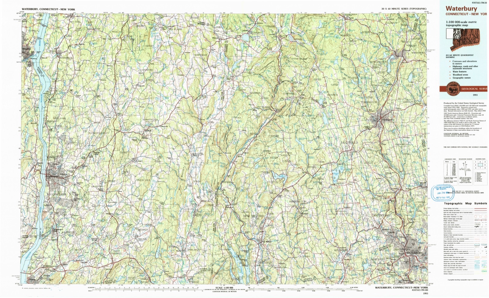
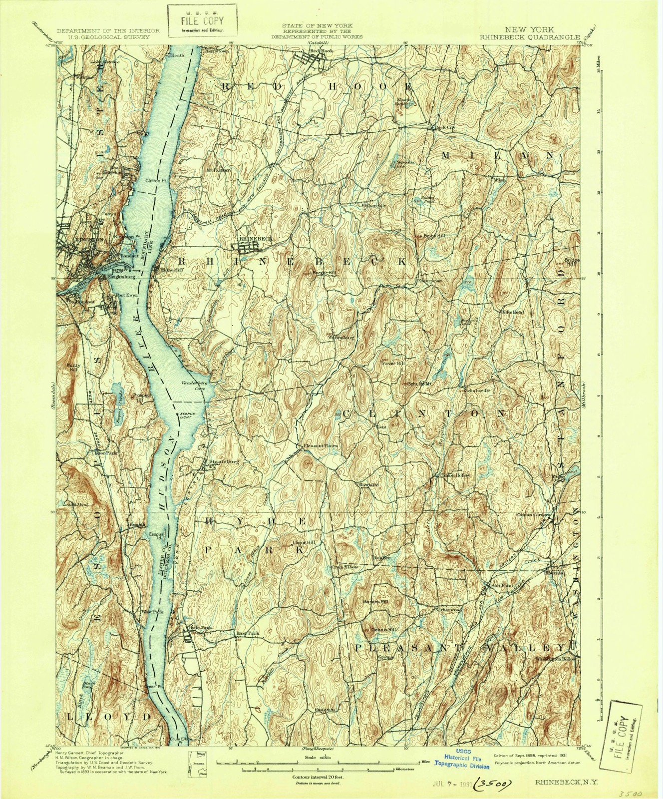
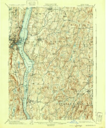
1898 to 1993The same ground, surveyed 95 years apart. Drag the handle to wipe between them. Both sheets are United States Geological Survey originals; neither has been altered.
On record in Kingston
Buildings and businesses the archive holds for this place. Each opens its own page, with the source record it came from.
On the National Register 12 of 45 shown
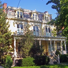 Boice Houselisted 2001
 Chichester Houselisted 2001
 Community Theatrelisted 1979
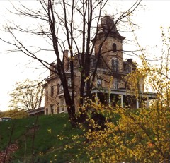 Cordts Mansionlisted 2007
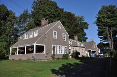 Dutch Church, Old, Parsonagelisted 2001
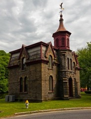 Fitch Bluestone Company Officelisted 2016
 James and Mary Forsyth Houselisted 2003
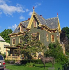 House at 184 Albany Avenuelisted 2002
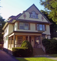 House at 313 Albany Avenuelisted 2002
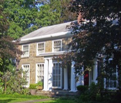 House at 322 Albany Avenuelisted 2002
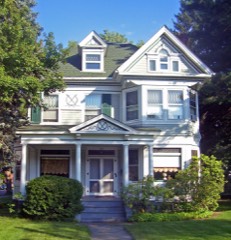 House at 356 Albany Avenuelisted 2002
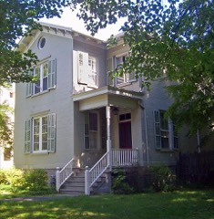 William Kenyon Houselisted 2001
Population over time
3 figuresKingston grew from 6,315 to 24,069 between 1870 and 2020. These are the recorded population figures Wikidata holds for this place, reached through the Geographic Names Information System number this page is keyed on rather than by name, so they belong to this place and not to another of the same name. Most are census counts, but not all are: an early figure may be a founding or settlement estimate, and an estimate published within five years of a census is left out. The change column is computed, and is left blank where more than 20 years separate a figure from the one before it, because a gap that long is not a change between two counts.
| Year | People | Change |
|---|---|---|
| 1870 | 6,315 | |
| 2010 | 23,893 | |
| 2020 | 24,069 | +176 (+1%) |
Topographic sheets covering this place
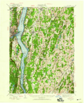
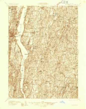
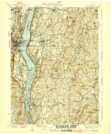
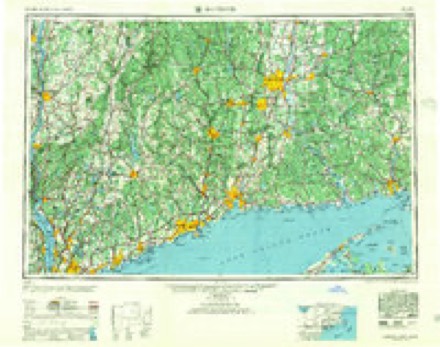
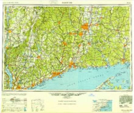
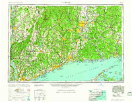
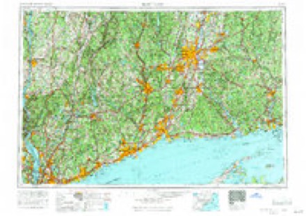
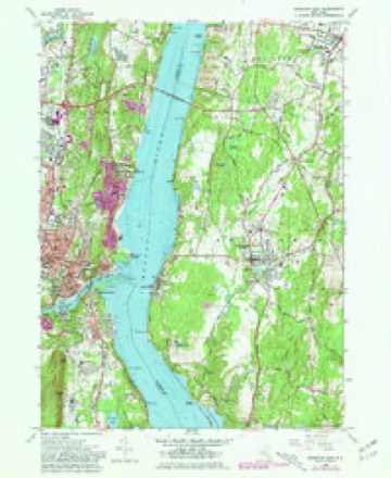
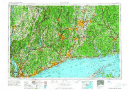
12 surveys from 31 printed sheetsMatched by testing this settlement's coordinate against the published boundary of every sheet in the United States Geological Survey's historical collection. Each opens the scanned sheet at the Survey.
- 1898 USGS Rhinebeck quadrangle1:62500, 9 printings
- 1934 USGS Rhinebeck quadrangle1:62500
- 1934 USGS Rhinebeck quadrangle1:48000
- 1939 USGS Rhinebeck quadrangle1:62500, 3 printings
- 1947 USGS Hartford quadrangle1:250000, 2 printings
- 1948 USGS Hartford quadrangle1:250000, 2 printings
- 1961 USGS Hartford quadrangle1:250000
- 1962 USGS Hartford quadrangle1:250000, 3 printings
- 1963 USGS Kingston East quadrangle1:24000, 5 printings
- 1965 USGS Hartford quadrangle1:250000, 2 printings
- 1985 USGS Waterbury quadrangle1:100000
- 1993 USGS Waterbury quadrangle1:100000
Fires near this place
476 since 1993Regional context, not property-specific evidence. The federal wildfire occurrence database lists 476 fires within 5 miles of Kingston between 1993 and 2020, burning about 457 acres in total. 21 started naturally. 42 were recorded as arson. Distance is straight-line from the map coordinates, so a fire counted here may appear on a neighbouring settlement's page as well.
| Reported cause | Fires |
|---|---|
| Missing data/not specified/undetermined | 239 |
| Smoking | 110 |
| Arson/incendiarism | 42 |
| Debris and open burning | 32 |
| Natural | 21 |
| Equipment and vehicle use | 18 |
| Power generation/transmission/distribution | 5 |
| Recreation and ceremony | 5 |
| Misuse of fire by a minor | 4 |
The most recent of them, most recent first, with the day each was reported and the service that recorded it.
| Date | Cause | Size | Reported by | Name on the report |
|---|---|---|---|---|
| 7 September 2017 | Missing data/not specified/undetermined | under an acre | Fire Department of New York | N/A |
| 7 September 2015 | Missing data/not specified/undetermined | under an acre | Fire Department of New York | N/A |
| 6 September 2015 | Missing data/not specified/undetermined | under an acre | Fire Department of New York | NA |
| 6 September 2007 | Missing data/not specified/undetermined | under an acre | Fire Department of New York | not named |
| 5 September 2010 | Missing data/not specified/undetermined | under an acre | Fire Department of New York | not named |
| 4 September 2009 | Smoking | under an acre | Fire Department of New York | not named |
| 3 September 2001 | Missing data/not specified/undetermined | under an acre | Fire Department of New York | not named |
| 29 September 2019 | Missing data/not specified/undetermined | under an acre | Fire Department of New York | N/A |
Settlements close enough to share some of these fires:
Mines and quarries near this place
10 of 17 shownRegional context, not property-specific evidence. The federal mineral resources record lists 17 workings within 5 miles of Kingston: 9 past producers, 8 producers. 8 still produce. What was taken out: Stone, Crushed/Broken, Clay, Sand and Gravel, Construction, Limestone, General. Distance is straight-line from the map coordinates, so a quarry counted here may appear on a neighbouring settlement's page as well.
| Where | Site | Commodity | Status | Recorded |
|---|---|---|---|---|
| Eddyville | Bloating Material | Producer | Sedimentary | |
| Kingston Quarry | Limestone, General | Past Producer | Sedimentary | |
| Kingston Quarry | Limestone, General | Past Producer | Sedimentary | |
| Dwyer Pit | Sand and Gravel, Construction | Past Producer | ||
| Dwyer Pit and Mill | Sand and Gravel, Construction | Past Producer | Sedimentary | |
| H. Franco and Son Sand and Stone Co | Sand and Gravel, Construction | Producer | ||
| Colite Pit | Clay | Past Producer | Sedimentary | |
| Colite Pit | Clay | Past Producer | ||
| Eddyville Clay Pit | Clay | Past Producer | ||
| Jova Manufacturing Corp Clay Mine | Clay | Producer |
Storms near this place
60 since 1993Regional context, not property-specific evidence. The National Weather Service names Kingston in 60 storm reports between 1993 and 2025: 33 thunderstorm wind, 15 hail, 5 flood, 4 lightning. No death or injury is recorded in these reports. Each account below is quoted exactly as the forecast office filed it, from the NOAA Storm Events Database, and each date opens the federal record of that event.
| When | Event | Place named | Harm | What the report says |
|---|---|---|---|---|
| June 1998 | Lightning | Kingston | $30,000 | In Ulster County at Kingston, lightning struck and damaged the roof, attic and second floor of a home. |
| August 2001 | Flash Flood | Kingston | $20,000 | no account filed |
| July 1999 | Lightning | Kingston | $20,000 | no account filed |
| June 2000 | Thunderstorm Wind | Kingston | $17,000 | no account filed |
| June 2001 | Hail | Kingston | $15,000 | no account filed |
| May 2000 | Thunderstorm Wind | Kingston | $15,000 | no account filed |
| July 1996 | Thunderstorm Wind | Kingston | $15,000 | no account filed |
| June 2001 | Lightning | Kingston | $13,000 | no account filed |
| June 2000 | Thunderstorm Wind | Kingston | $10,000 | no account filed |
| May 2009 | Thunderstorm Wind | Kingston | $7,000 | A large tree fell onto a home near Kingston, damaging a roof and chimney. The downed tree was a result of strong thunderstorm winds. |
| July 1994 | Thunderstorm Wind | Kingston | $5,000 | Severe thunderstorms moved across parts of eastern New York ahead of a warm front during the afternoon and early evening hours of July 20th. Thunderstorm winds downed trees and powerlines while torrential rains resulted in urban flooding in some areas. Among the areas hardest hit were Albany, Rensselaer, Greene, and Dutchess Counties. In all some 20,000 customers were left without electricity as a result of the thunderstorms. Lightning was the cause of several fires including a home in Brisben and a church steeple in Watervliet. |
| September 1993 | Thunderstorm Wind | Kingston | $5,000 | A strong cold front moved across Eastern New York during the late afternoon and evening hours of September 3rd. A tornado touched down in the Hamilton County Town of Long Lake. The tornado had a continuous path of about three miles from halfway between Deer Pond and North Pond to 1.5 miles southwest of Hardigan Pond. It then skipped along another 3-mile- path with the last touch down occurring halfway between Salmon Lake and Rock Pond. The tornado downed large swaths of forest timber as it left a damage path up to 0.25 mile wide. In Oneida, Sullivan and Ulster Counties thunderstorm winds downed tree limbs and power lines across parts of each county leaving over 7,000 customers without power in Oneida County and more than 5,000 customers without power in Ulster County. In Highmount in Delaware County lightning struck a house twice during the same storm. The lightning blew out windows in the house, dug up the yard and disabled two vehicles. In Broome County thunderstorm winds downed a tree and power lines off Rte. 26 near the North Endicott Substation. |
| August 1994 | Thunderstorm Wind | Kingston | $5,000 | no account filed |
| June 1994 | Thunderstorm Wind | Kingston | $5,000 | no account filed |
| July 1994 | Thunderstorm Wind | Kingston | $5,000 | no account filed |
| May 1993 | Thunderstorm Wind | Kingston | $5,000 | no account filed |
| May 2000 | Hail | Kingston | $4,000 | no account filed |
| December 2023 | Flood | East Kingston | $3,000 | First Avenue from Kingston Street to Sojourner Truth State Park was closed due to flooding. |
| September 1998 | Thunderstorm Wind | Kingston | $3,000 | no account filed |
| December 2023 | Flood | Kingston | $2,000 | Loundsbury Place from Mountainview Avenue and Fairmont Avenue was closed due to flooding. |
| December 2023 | Flood | Kingston | $2,000 | South Wall Street from Route 213 to Winchell Avenue was closed due to flooding. |
| May 1998 | Thunderstorm Wind | Kingston | $2,000 | no account filed |
| December 2023 | Flood | Kingston | $1,000 | Emerson Street was closed due to flooding. |
| December 2021 | Thunderstorm Wind | East Kingston | $1,000 | A tree was downed along Clifton Terrace in the City of Kingston. |
| July 2018 | Lightning | Kingston | $1,000 | Lightning caused a fire in a substation, resulting in power outages. |
| July 1996 | Thunderstorm Wind | Kingston | $1,000 | no account filed |
| July 1996 | Hail | Kingston | $500 | no account filed |
| April 1995 | Thunderstorm Wind | Kingston | $500 | no account filed |
| July 2025 | Hail | Kingston | - | Quarter size hail was reported in the City of Kingston. |
| July 2022 | Thunderstorm Wind | Kingston | - | A tree fell onto wires near Hillside Terrace and Millers Lane near the City of Kingston. |
| July 2022 | Thunderstorm Wind | Kingston | - | Propane tank was leaking after being struck by a tree on Lynette Boulevard. |
| July 2022 | Thunderstorm Wind | Kingston | - | A tree was reported down on a trailer (in the Spring Lake area). |
| July 2022 | Thunderstorm Wind | Kingston | - | Powerlines were downed east of Virginia Drive in the City of Kingston. |
| June 2021 | Thunderstorm Wind | East Kingston | - | Trees and wires were downed. |
| July 2020 | Thunderstorm Wind | Kingston | - | Scattered trees were knocked down in the Kingston area. |
| July 2019 | Thunderstorm Wind | Kingston | - | A tree was downed onto wires on Cedar Street. |
| July 2019 | Thunderstorm Wind | Kingston | - | A tree was downed onto wires and a house. |
| June 2019 | Thunderstorm Wind | Kingston | - | Trees and wires were downed. |
| August 2018 | Heavy Rain | Kingston | - | Strong storm resulted in 1.48 inches of rainfall in a 15 minute period between 430 PM and 445 PM. |
| July 2016 | Thunderstorm Wind | Kingston | - | Trees and wires were downed in the Linderman Avenue section of Kingston due to thunderstorm winds. Trees were ripped from the roots and siding was damaged to a home. |
| July 2016 | Thunderstorm Wind | Kingston | - | Wires were downed onto a vehicle on the Boulevard in Kingston due to thunderstorm winds. |
| July 2016 | Thunderstorm Wind | Kingston | - | Numerous trees and wires were downed along Washington Avenue in Kingston, with the hardest hit area near the intersection with State Route 32. In addition, numerous trees and wires were downed on Fair Street in Kingston. Some of the downed trees fell on cars and homes. Also, trees were downed at the intersection of Broadway and Interstate 587. Some other trees were also downed on Foxhall Avenue, where two cars were damaged from the downed trees as well. |
| June 2012 | Hail | Kingston | - | Quarter size hail was reported during a thunderstorm in Kingston. |
| September 2012 | Thunderstorm Wind | Kingston | - | Trees and wires were reported down due to thunderstorm winds in Kingston. |
| June 2011 | Hail | Kingston | - | Quarter size hail (measured) was reported during a thunderstorm in Kingston. |
| June 2009 | Thunderstorm Wind | East Kingston | - | Trees and wires were reported down approximately 1 mile northeast of Kingston due to strong thunderstorm winds. |
| June 2009 | Hail | Kingston | - | Quarter size hail was reported in Kingston during a thunderstorm. |
| August 2008 | Thunderstorm Wind | Kingston | - | Trees and wires were reported down in Kingston due to strong thunderstorm winds.||One part of a large tree was reported down on Sawkill Road in the town of Ulster, closing a portion of the road between Washington Avenue and U.S. Route 209. |
| August 2008 | Hail | Kingston | - | Penny size hail fell during a thunderstorm near Kingston. |
| June 2008 | Hail | Kingston | - | Penny size hail was reported near Kingston during a thunderstorm. |
| July 2007 | Hail | Kingston | - | Quarter size hail occurred throughout the city of Kingston. The hail accumulated to a depth of 1 to 2 inches on the ground in some areas.||Nickel size hail also occurred within the town of Ulster, located approximately 2 miles north of Kingston, at nearly the same time. |
| October 2006 | Flood | Kingston | - | On October 28, a trained spotter reported that Sawmill Creek was flooding Sawkill Road at Jockey Hill Road. In addition, some street flooding was occurring in the city of Kingston. Several roads were closed in Ulster County and some were closed in New Paltz. |
| June 2005 | Thunderstorm Wind | Kingston | - | Trees were blown down. |
| November 2004 | Thunderstorm Wind | Kingston | - | Thunderstorm wind damage was reported in Kingston, Rosendale, Marbletown, and Wawarsing, where numerous trees and power lines were toppled, causing roughly 3,000 customers to briefly lose power. Several roads were also closed temporarily due to obstructions caused by the fallen trees and power lines. In addition, one roof lost its shingles, and one garage collapsed just south of the Ashokan Reservoir. |
| May 2021 | Hail | Kingston | - | no account filed |
| August 2004 | Flash Flood | Kingston | - | no account filed |
| August 2003 | Hail | Kingston | - | no account filed |
| August 2003 | Hail | Kingston | - | no account filed |
| August 2003 | Hail | Kingston | - | no account filed |
| August 2003 | Hail | Kingston | - | no account filed |
Nearest settlements
The eight closest, with where each one stands in the county. Distances are straight-line, computed from the Geographic Names Information System coordinates.
| Map | Place | Distance | Sheets |
|---|---|---|---|
| Wiltwyck Gardens | 0.8 miles | 30 | |
| Rondout | 0.8 miles | 31 | |
| Connelly | 1.2 miles | 31 | |
| Wilbur | 1.2 miles | 30 | |
| Ponck Hockie | 1.3 miles | 31 | |
| Sleightsburg | 1.3 miles | 31 | |
| Lincoln Park | 1.6 miles | 31 | |
| Port Ewen | 1.9 miles | 31 |
Elsewhere
Matched on this settlement's Geographic Names Information System number rather than its name, so it cannot be a different place of the same name in another state.
| Wikipedia article on Kingston | An encyclopaedic summary. Its text is share-alike, so it is linked here rather than copied. |
| Wikidata item Q868660 | The structured record the population and elevation above come from. Public domain (CC0). |
Provenance
This settlement is recorded in the Geographic Names Information System as feature 954683. The sheet list is computed by point-in-boundary test against the United States Geological Survey's historical topographic inventory. Both are works of the United States government and carry no copyright under 17 U.S.C. 105.
Wildfire. Short, Karen C. 2022. Spatial wildfire occurrence data for the United States, 1992-2020 [FPA_FOD_20221014]. 6th Edition. Fort Collins, CO: Forest Service Research Data Archive. https://doi.org/10.2737/RDS-2013-0009.6 Collected with United States Government funding and usable without additional permissions or fees.
Mines and quarries. USGS Mineral Resources Data System (MRDS) https://mrdata.usgs.gov/mrds/ A work of the United States government, no copyright under 17 U.S.C. 105.
Storms. NOAA National Centers for Environmental Information, Storm Events Database https://www.ncei.noaa.gov/stormevents/ A work of the United States government, no copyright under 17 U.S.C. 105. Narratives are quoted verbatim from the National Weather Service report and are not edited or summarised.