 Block
BlockLincklaen, New York
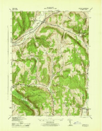
17 topographic sheets cover this place, the earliest surveyed in 1904 and the latest in 1986. It stands in Lincklaen town. It lies in ZIP code area 13052. The Survey maps it on the Cuyler quadrangle.
Then and now
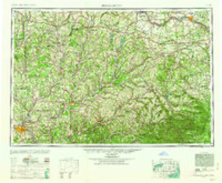
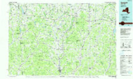
1904 to 1986The same ground, surveyed 82 years apart. Drag the handle to wipe between them. Both sheets are United States Geological Survey originals; neither has been altered.
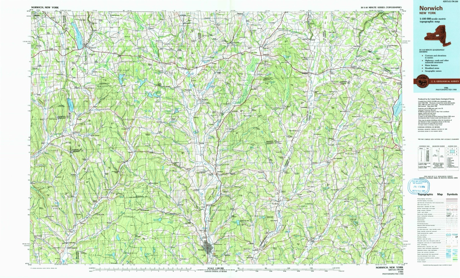
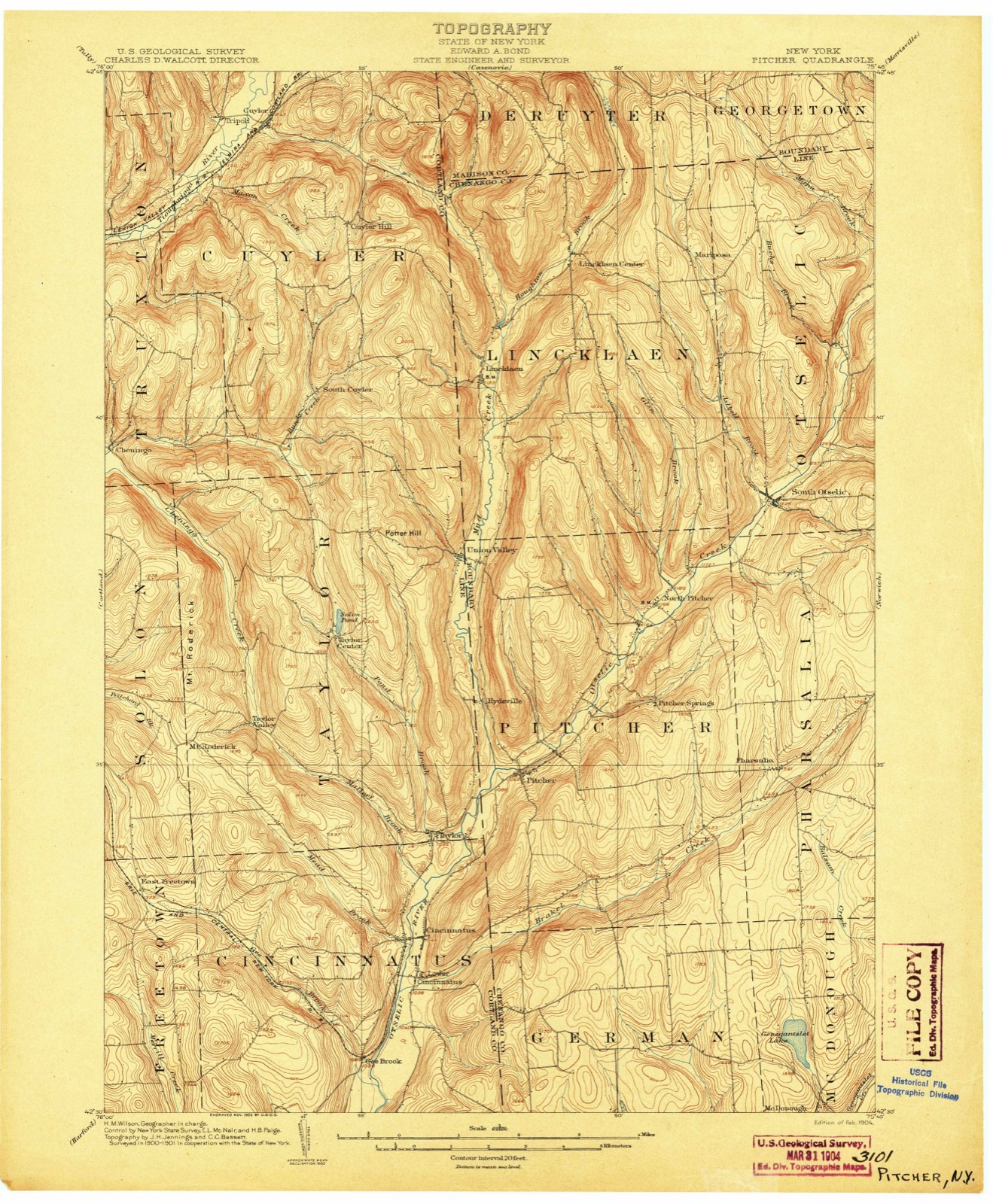
Topographic sheets covering this place
8 surveys from 17 printed sheetsMatched by testing this settlement's coordinate against the published boundary of every sheet in the United States Geological Survey's historical collection. Each opens the scanned sheet at the Survey.
- 1904 USGS Pitcher quadrangle1:62500, 5 printings
- 1943 USGS Cuyler quadrangle1:24000, 4 printings
- 1944 USGS Cuyler quadrangle1:31680
- 1948 USGS Binghamton quadrangle1:250000
- 1950 USGS Binghamton quadrangle1:250000, 2 printings
- 1958 USGS Binghamton quadrangle1:250000
- 1963 USGS Binghamton quadrangle1:250000
- 1986 USGS Norwich quadrangle1:100000, 2 printings
Fires near this place
9 since 2004Regional context, not property-specific evidence. The federal wildfire occurrence database lists 9 fires within 5 miles of Lincklaen between 2004 and 2015, burning about 9 acres in total. 2 started naturally. 2 were recorded as arson. Distance is straight-line from the map coordinates, so a fire counted here may appear on a neighbouring settlement's page as well.
| Reported cause | Fires |
|---|---|
| Missing data/not specified/undetermined | 4 |
| Natural | 2 |
| Arson/incendiarism | 2 |
| Debris and open burning | 1 |
The most recent of them, most recent first, with the day each was reported and the service that recorded it.
| Date | Cause | Size | Reported by | Name on the report |
|---|---|---|---|---|
| 22 August 2013 | Missing data/not specified/undetermined | under an acre | Fire Department of New York | not named |
| 9 May 2006 | Arson/incendiarism | 1.0 acres | Fire Department of New York | not named |
| 29 April 2004 | Natural | under an acre | Fire Department of New York | not named |
| 2 April 2006 | Debris and open burning | 2.0 acres | New York Forest Rangers | not named |
| 17 April 2005 | Arson/incendiarism | 1.1 acres | Fire Department of New York | not named |
| 16 April 2015 | Natural | 1.2 acres | Fire Department of New York | N/A |
| 11 April 2004 | Missing data/not specified/undetermined | under an acre | Fire Department of New York | not named |
| 10 April 2005 | Missing data/not specified/undetermined | 2.2 acres | Fire Department of New York | not named |
Settlements close enough to share some of these fires:
Storms near this place
5 since 2005Regional context, not property-specific evidence. The National Weather Service names Lincklaen in 5 storm reports between 2005 and 2024: 2 hail, 1 thunderstorm wind, 1 flash flood, 1 tornado. No death or injury is recorded in these reports. Each account below is quoted exactly as the forecast office filed it, from the NOAA Storm Events Database, and each date opens the federal record of that event.
| When | Event | Place named | Harm | What the report says |
|---|---|---|---|---|
| July 2024 | Tornado (EF1) | Lincklaen | $120,000 | A line of severe thunderstorms quickly surged through in late afternoon with a bow echo radar signature to produce damaging winds for much of the area, but a higher end embedded EF1 tornado managed to spin up at a kink in the line where strong rotation was indicated on radar. The tornado took a meandering path through rugged terrain, with discontinuous damage at times from apparent skipping. The first tornadic damage began around Upham Road near Lane Hill in Lincklaen State Forest, and |crossed Hyer and Neal Roads as well. The tornado intensified to higher end EF1 when it reached an exposed ridge along Joe Road, with hundreds of uprooted and snapped large softwood trees in a swath over 200 yards wide. Tree snaps and uproots continued across County Road 13 and then somewhat intensified on the exposed higher elevation of Ridge Road while climbing into Bucks Brook State Forest, before finally dropping into the Otselic Valley to cause additional trunk snaps and uproots. A barn was partially|collapsed, with roof displaced, in Otselic Center. Other structures had minor roofing or window damage from Otselic Center, up Highway 26, to the tornado path ending along Route 80 in Otselic itself where a carport was also lofted. Other pockets of damage such as in Crumb Hill as well as towards South Otselic were more consistent with downbursts from the severe line of thunderstorms. |
| August 2021 | Flash Flood | Lincklaen | $15,000 | Roads were washed out near CR-13 and Bamberry Road. |
| July 2005 | Thunderstorm Wind | Lincklaen | $5,000 | Thunderstorm winds downed numerous trees. |
| July 2019 | Hail | Lincklaen | - | no account filed |
| July 2019 | Hail | Lincklaen | - | no account filed |
Nearest settlements
The eight closest, with where each one stands in the county. Distances are straight-line, computed from the Geographic Names Information System coordinates.
| Map | Place | Distance | Sheets |
|---|---|---|---|
| Lincklaen Center | 2.6 miles | 16 | |
| Rhode Island | 4.1 miles | 16 | |
| Mariposa | 4.2 miles | 16 | |
| North Pitcher | 4.8 miles | 17 | |
| Hydeville | 5.4 miles | 16 | |
| South Otselic | 5.4 miles | 16 | |
| Pitcher Springs | 6.1 miles | 17 | |
| Seventh Day Hollow | 6.1 miles | 16 |
Provenance
This settlement is recorded in the Geographic Names Information System as feature 955358. The sheet list is computed by point-in-boundary test against the United States Geological Survey's historical topographic inventory. Both are works of the United States government and carry no copyright under 17 U.S.C. 105.
Wildfire. Short, Karen C. 2022. Spatial wildfire occurrence data for the United States, 1992-2020 [FPA_FOD_20221014]. 6th Edition. Fort Collins, CO: Forest Service Research Data Archive. https://doi.org/10.2737/RDS-2013-0009.6 Collected with United States Government funding and usable without additional permissions or fees.
Storms. NOAA National Centers for Environmental Information, Storm Events Database https://www.ncei.noaa.gov/stormevents/ A work of the United States government, no copyright under 17 U.S.C. 105. Narratives are quoted verbatim from the National Weather Service report and are not edited or summarised.