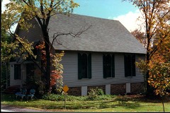
Block
BlockFrom the record
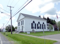
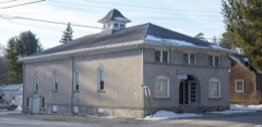
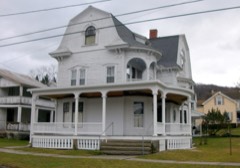
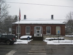
47 National Register listings published here.
Sources: the National Register database, National Park Service
143 topographic sheets cover 95 settlements here, and 47 properties are on the National Register of Historic Places.
47 National Register listings published here.
Sources: the National Register database, National Park Service
Every property in this county listed on the National Register of Historic Places, with the year it was listed and the federal nomination document.
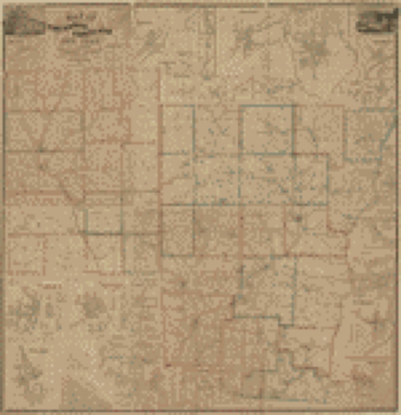
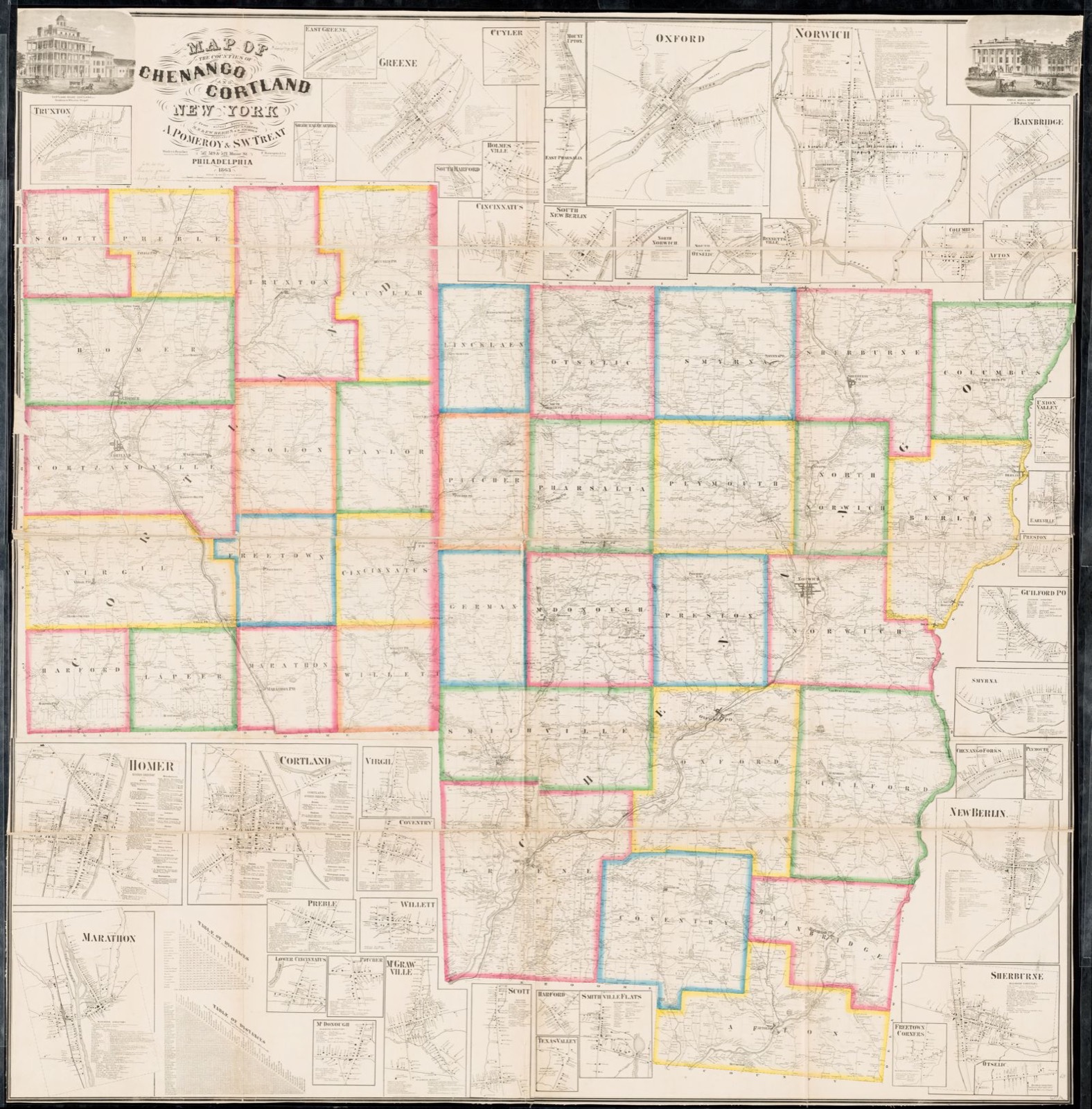
Drawn when these were printed as single large sheets: the town seen from the air, and the county divided into its farms with every owner named. Each opens the original at the Library of Congress.
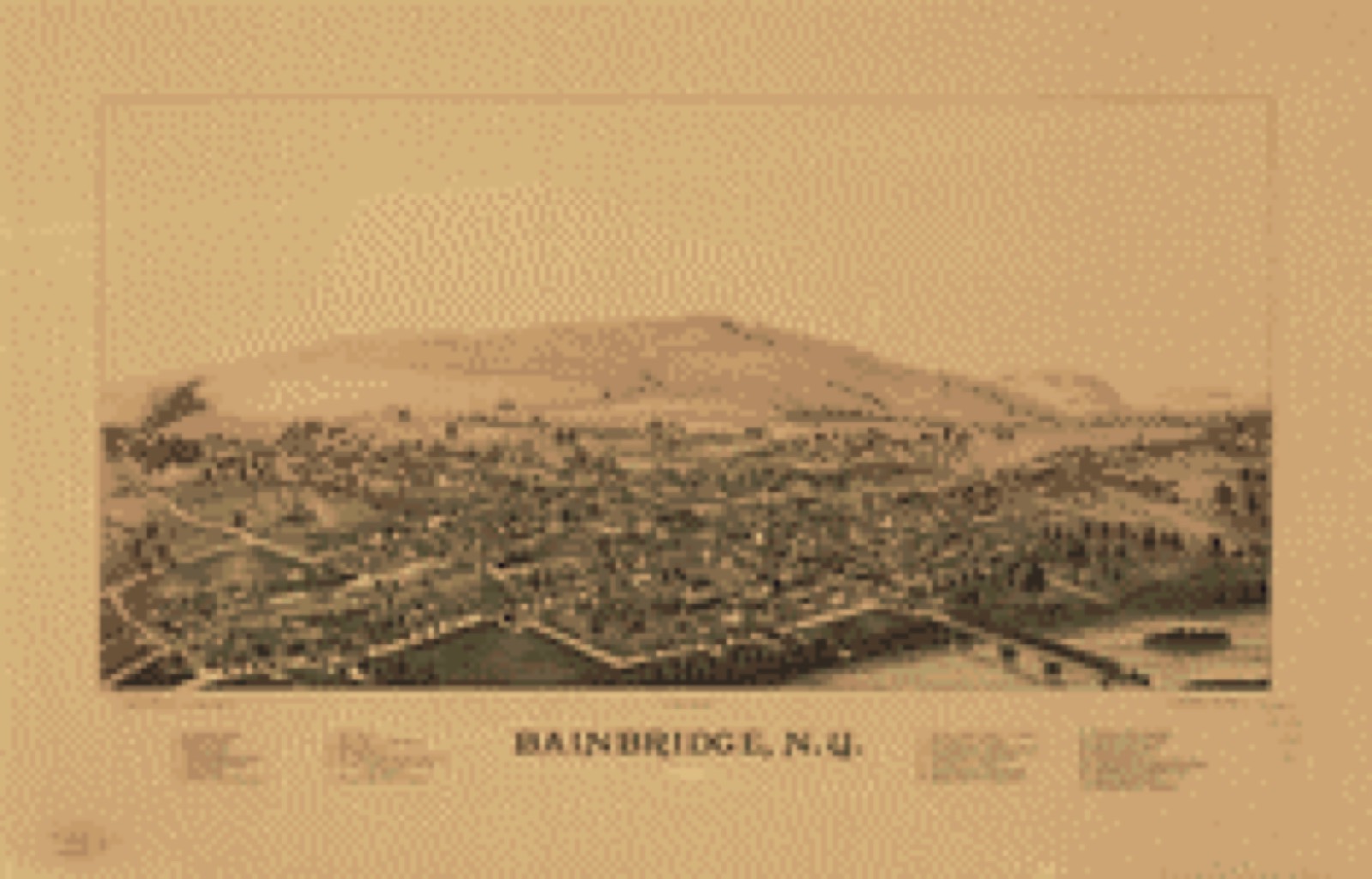


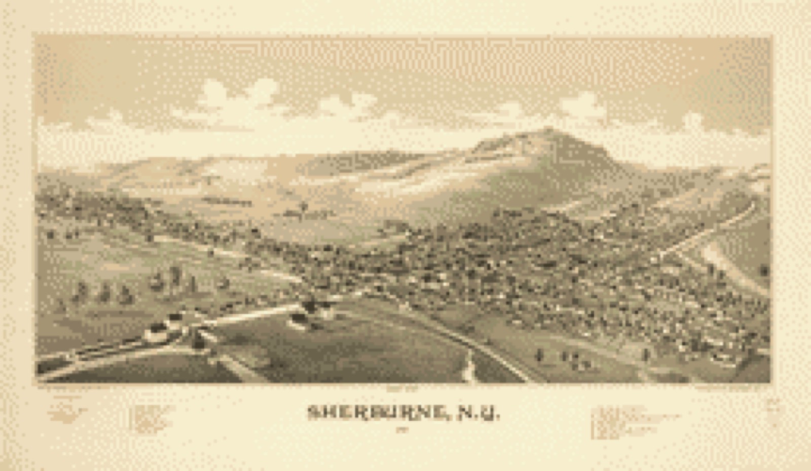
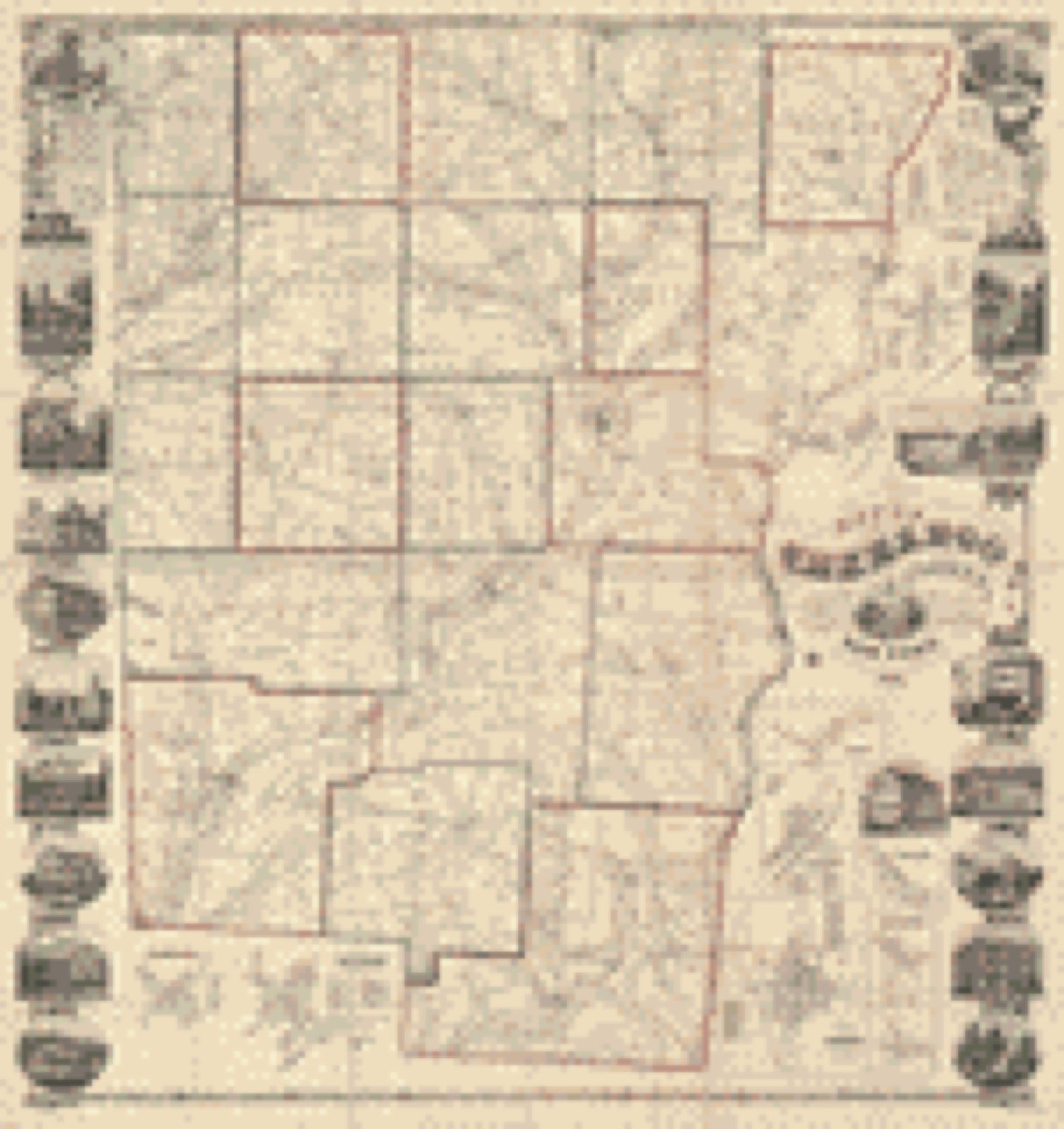
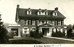
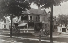
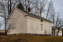
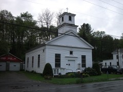
Selected from the Digital Public Library of America's 5 image records catalogued for this county. Every one shown here carries a public-domain status or a licence that permits reuse on a site that carries advertising; non-commercial, share-alike and restricted images are excluded. The selection is spread across the county's towns (at most eight per town), so no single institution's bulk upload crowds out the rest. Each opens the holding library's record, and the complete set at the Digital Public Library of America is one click away.
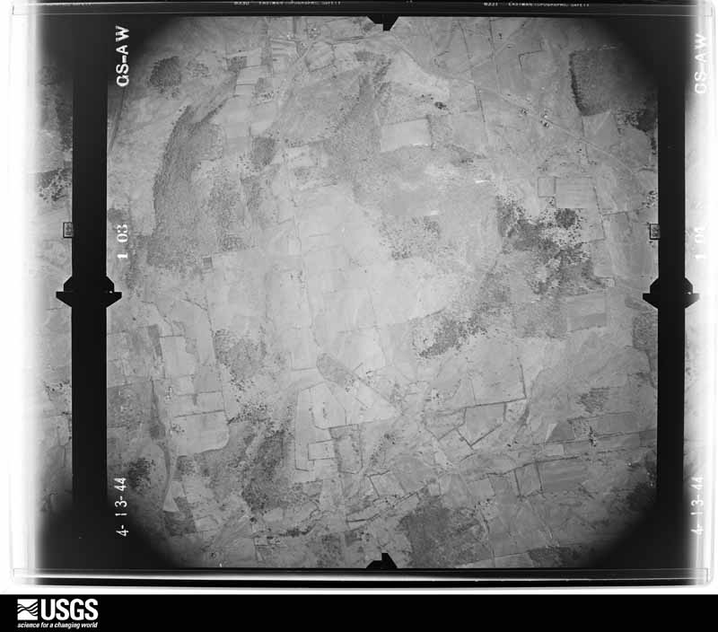
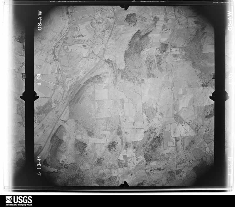
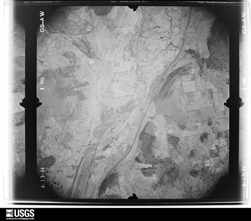
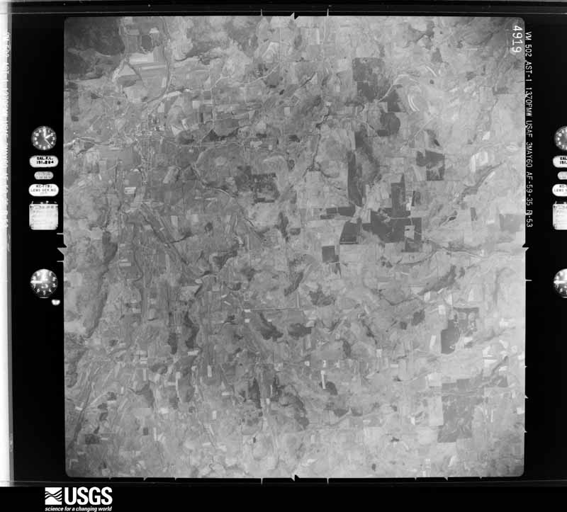
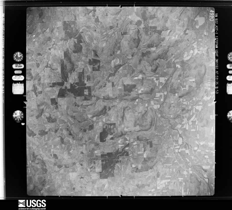
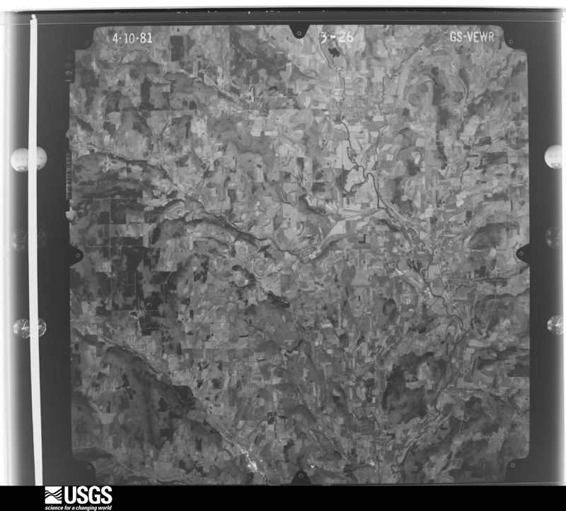
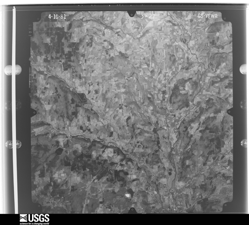
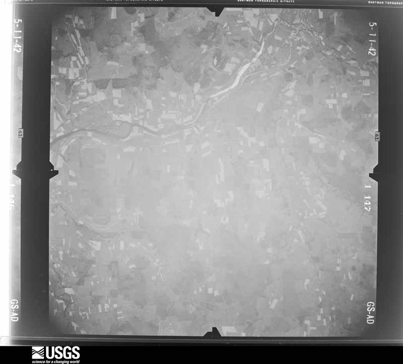
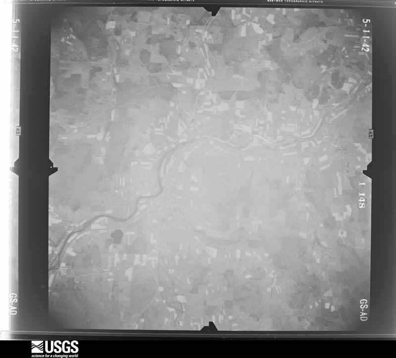
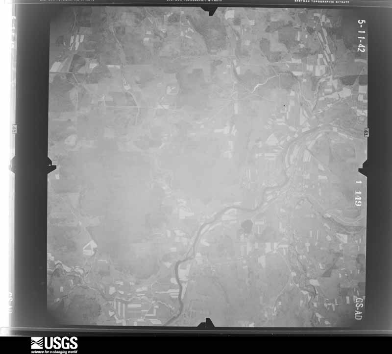
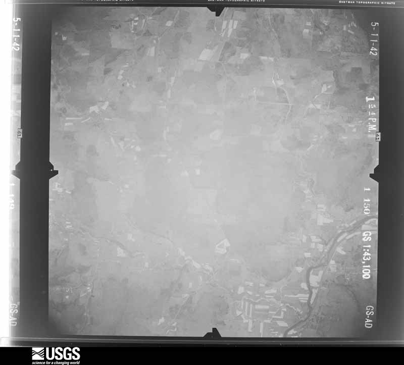
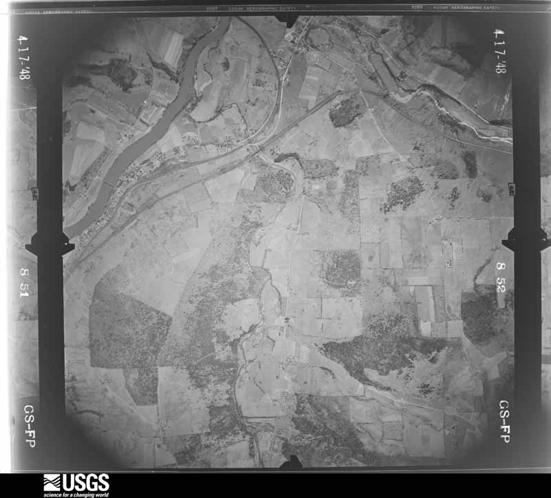
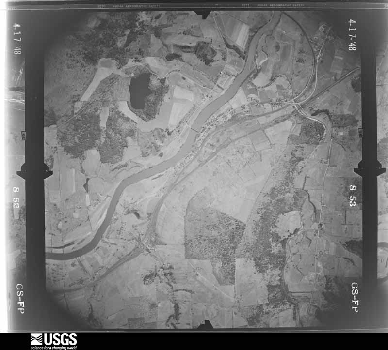
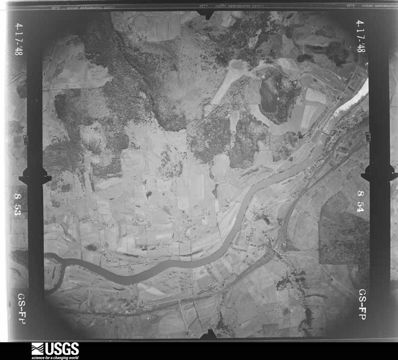
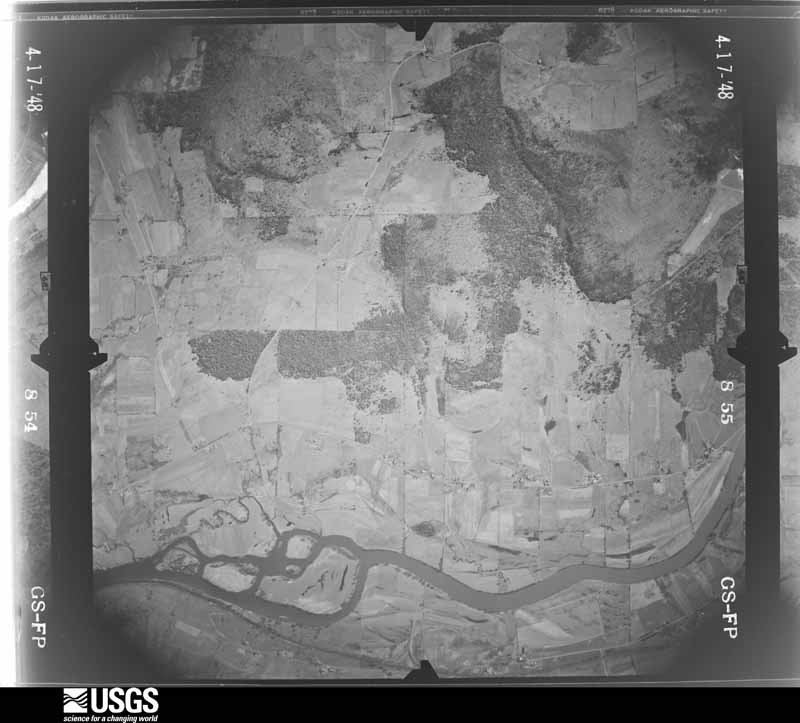
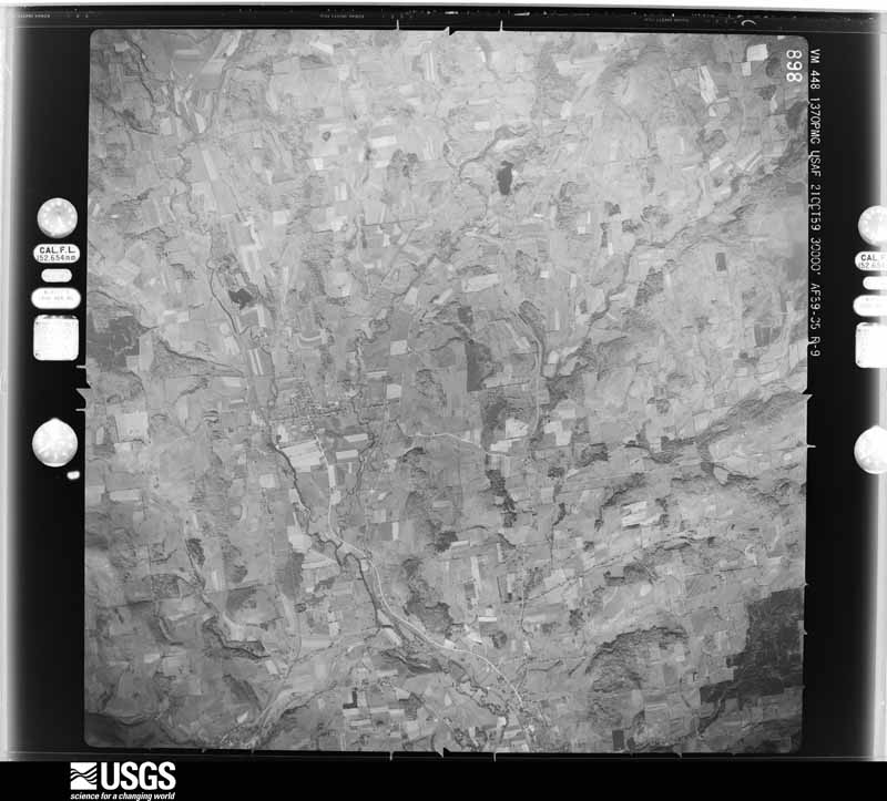
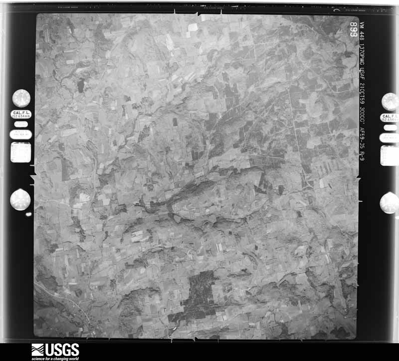
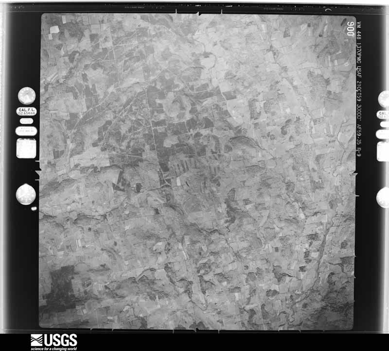
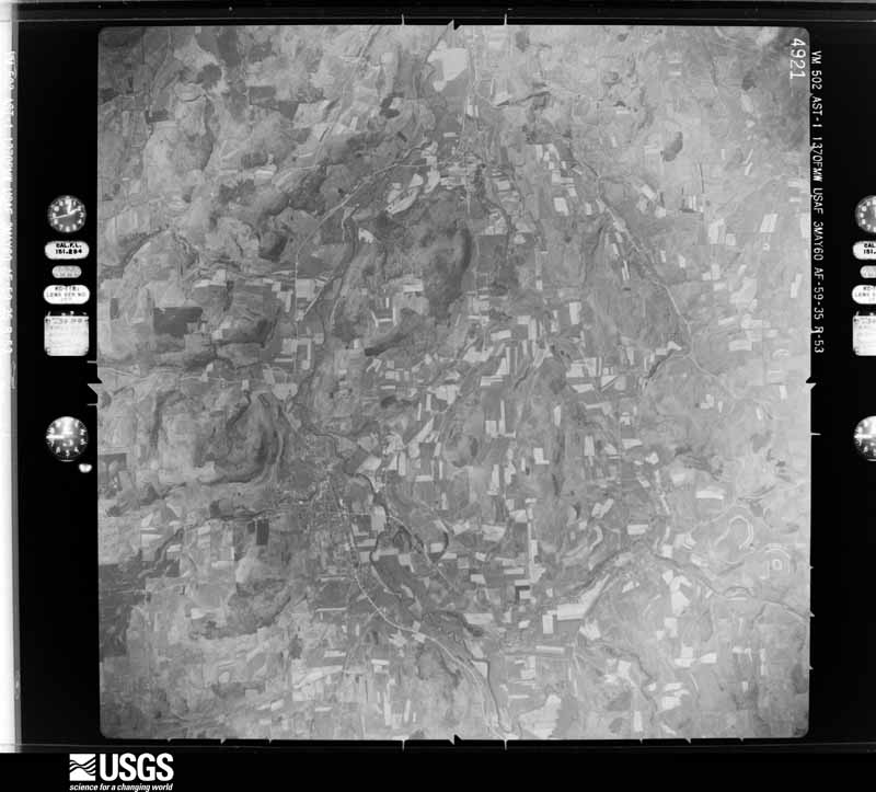
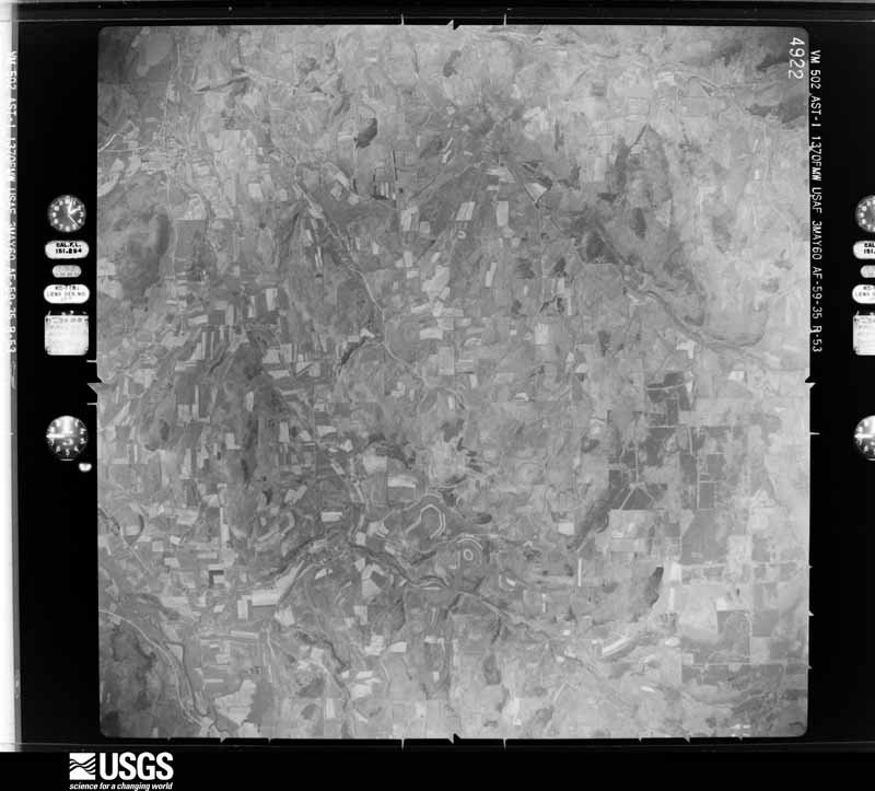
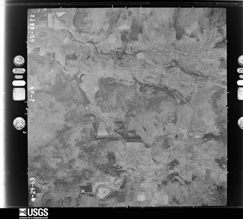
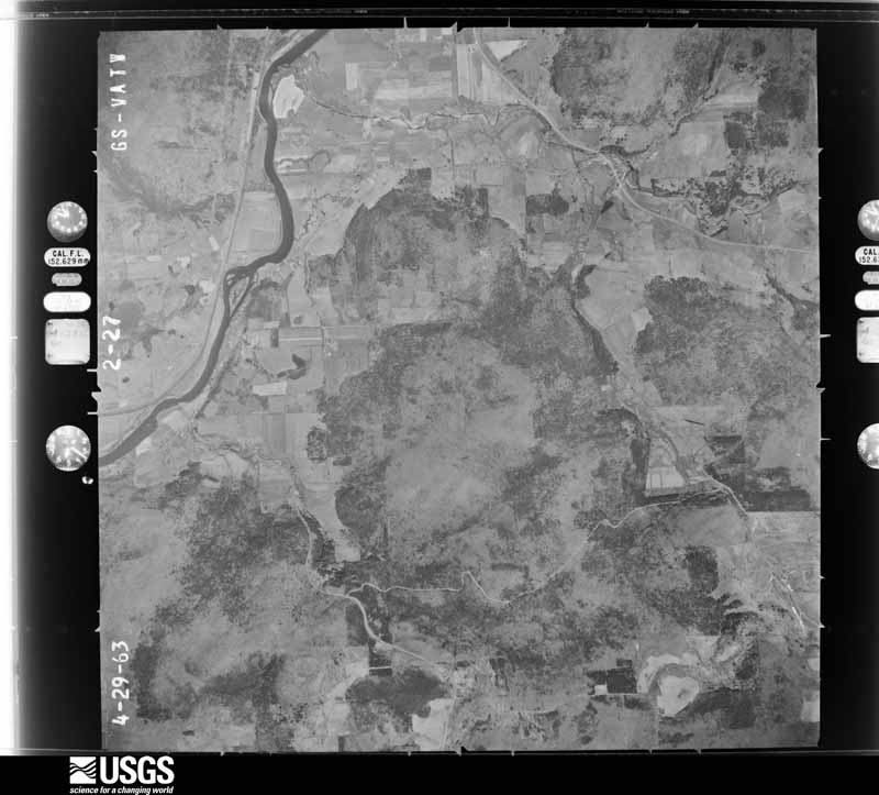
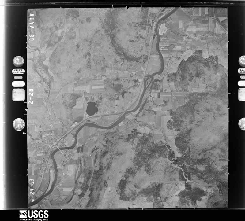
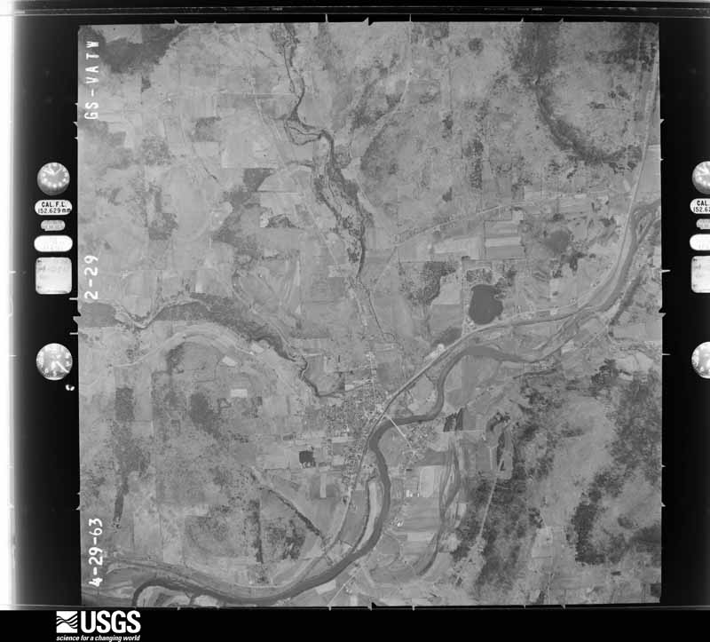
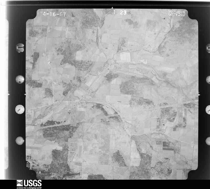
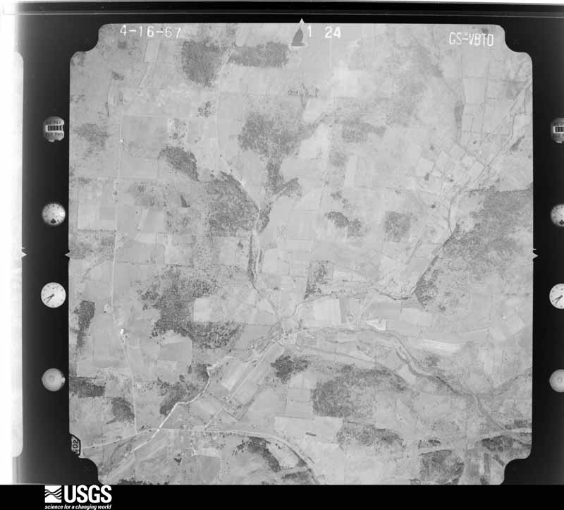
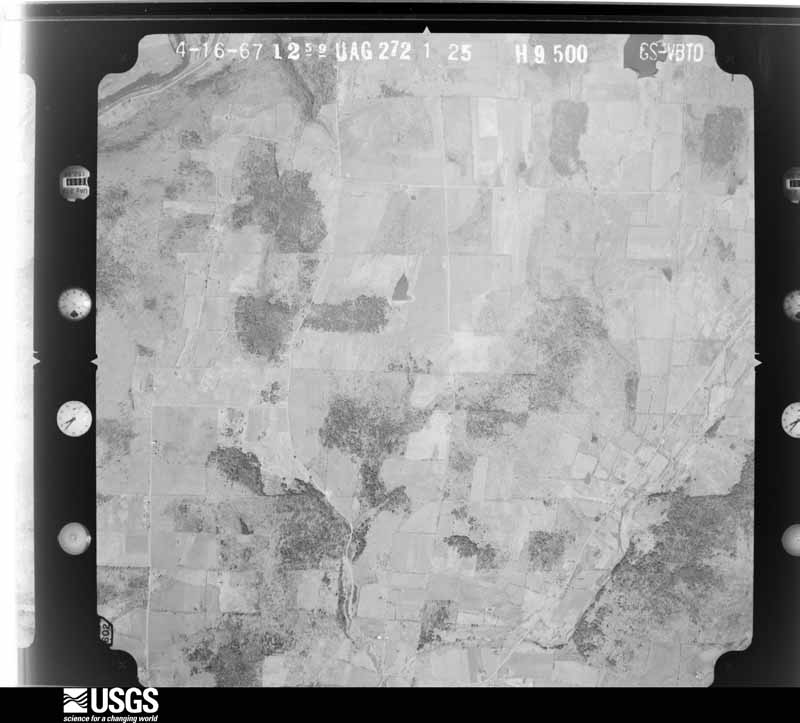
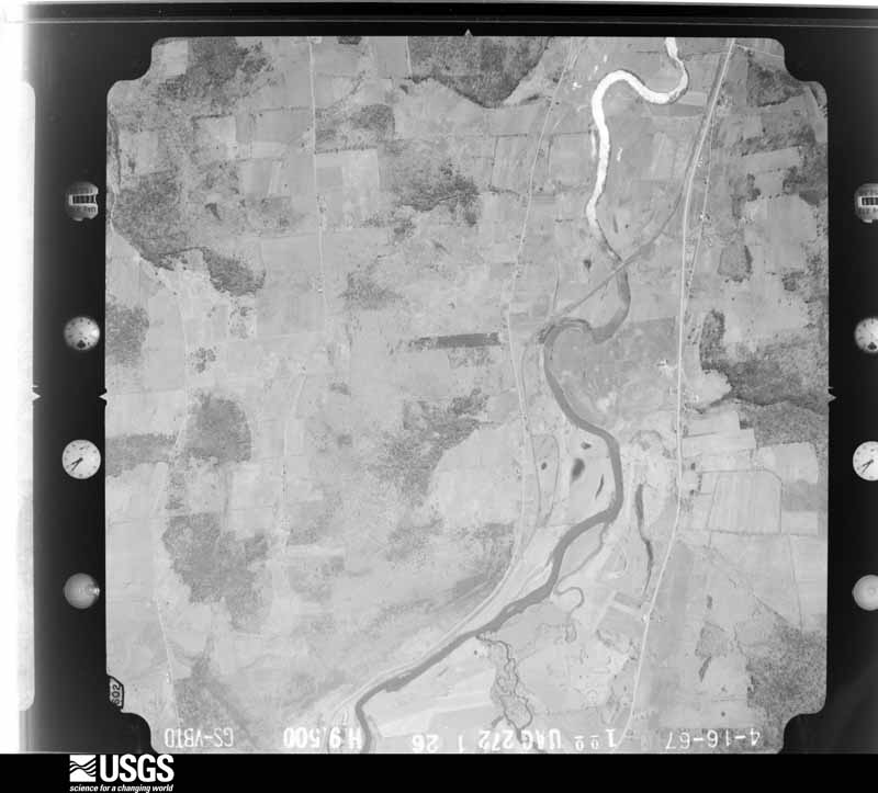
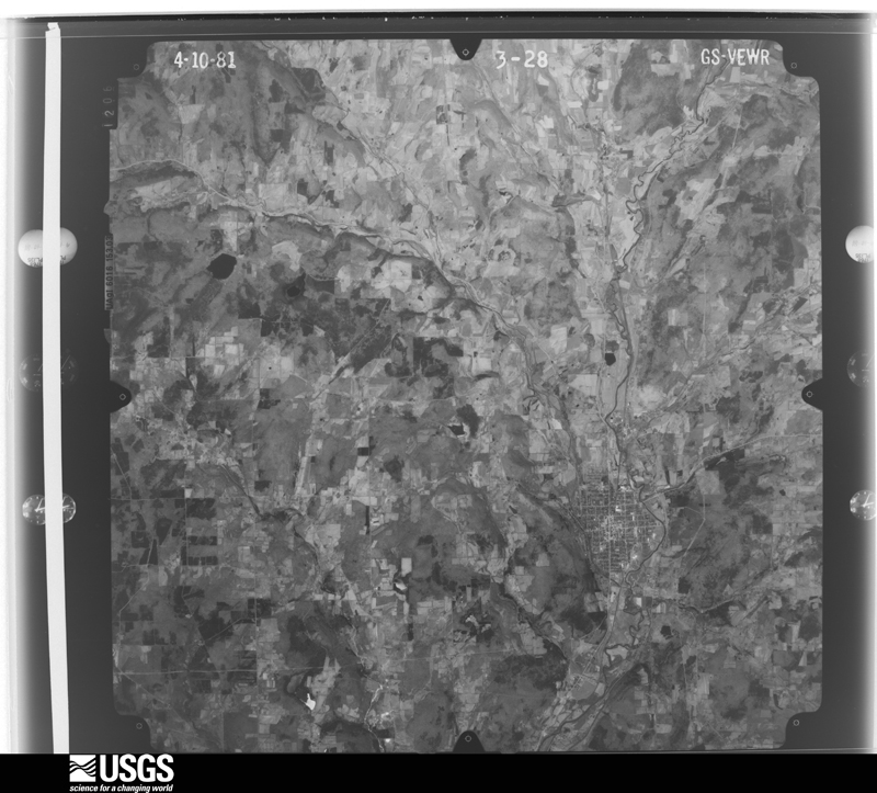
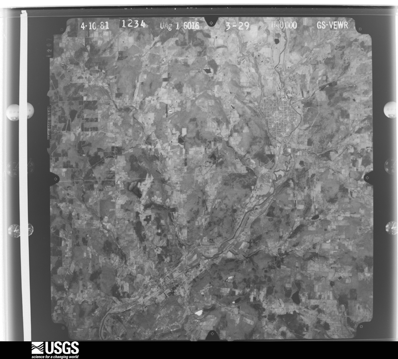
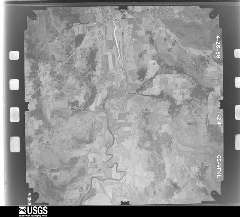
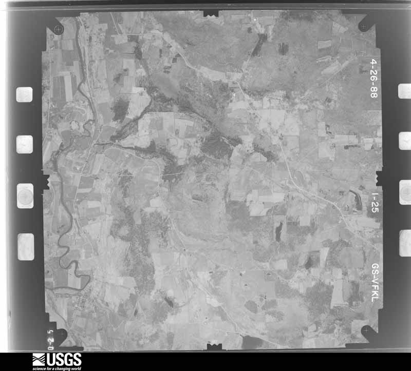
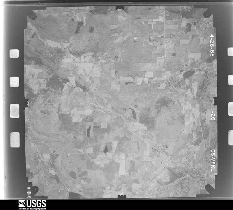
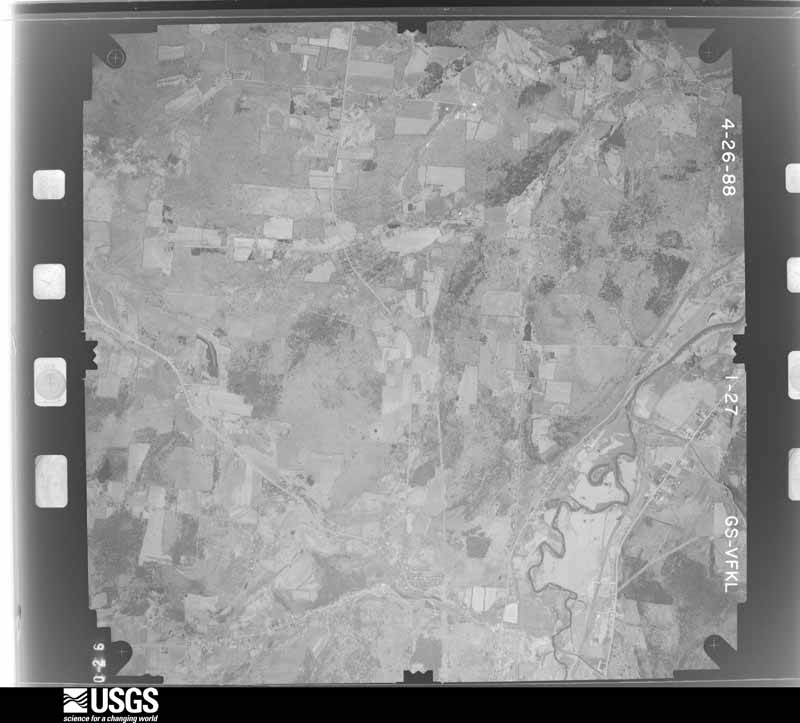
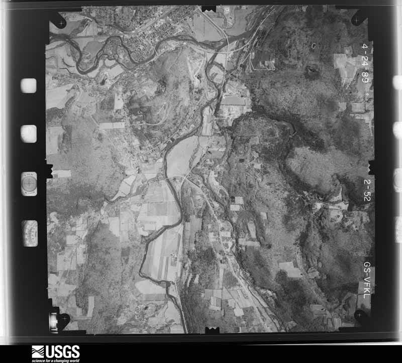
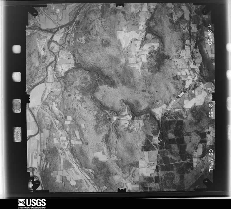
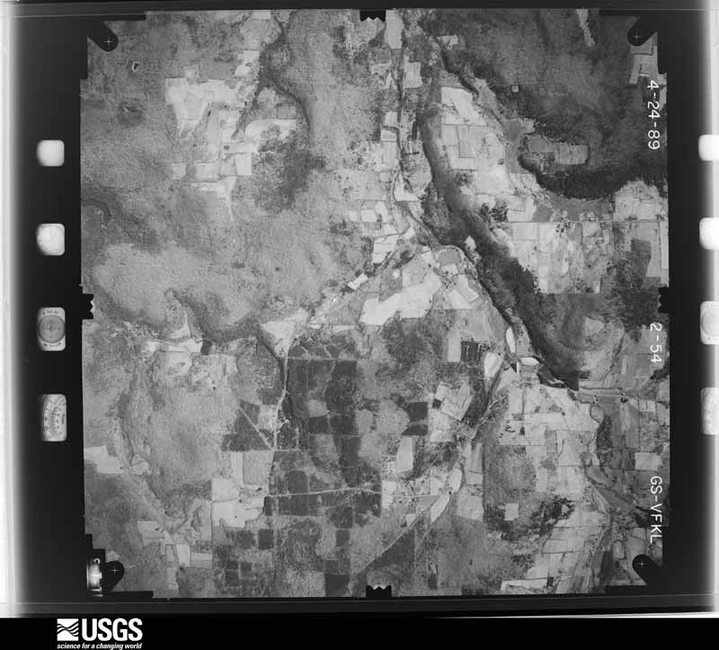
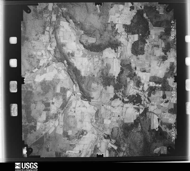
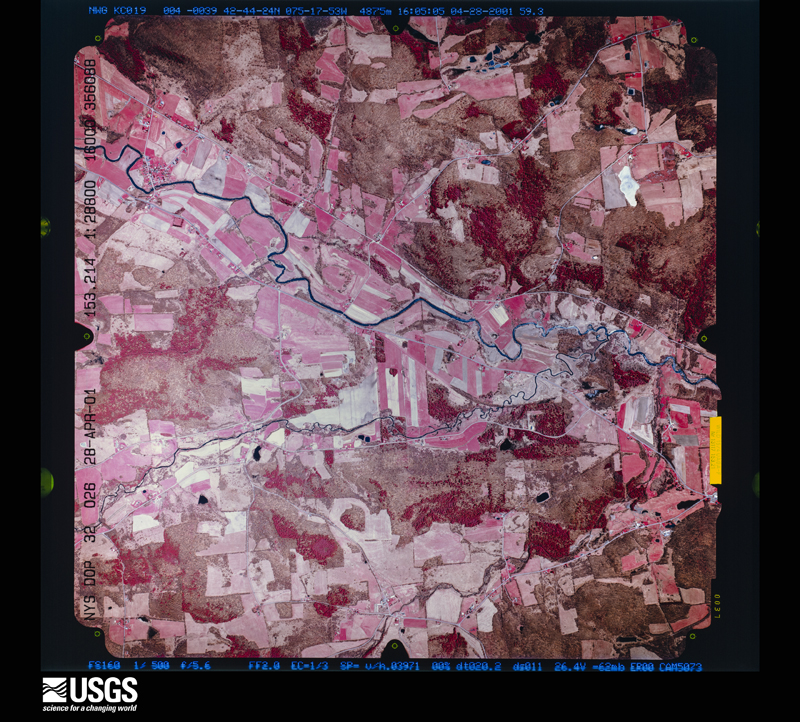
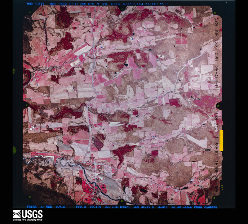
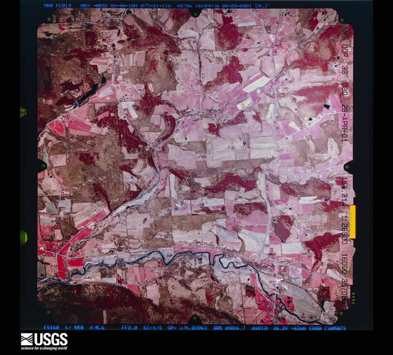
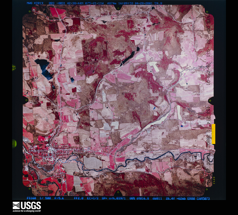
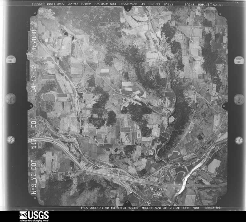
Flown by the U.S. Geological Survey between 1937 and 1989, the Aerial Photo Single Frames collection is the definitive mid-century view of the land: fields, roads and rivers as the camera saw them. The Survey holds 1,526 frames inside the rectangle that bounds this county; the 48 frames below were taken over the county itself, chosen across the decades of flights (at most four a year from that rectangle), so one flight cannot crowd out the rest. The full set is free to browse and download at EarthExplorer under the dataset Aerial Photo Single Frames.





The thermometers that kept this county's weather, and the gages that measured the flow of its streams, as the federal records hold them. The extremes below are measured values from those records, not estimates.
Who lived here in 1950, one enumeration district at a time, as the Census Bureau described each district. Each row opens its official National Archives result, with Population Schedules and ED Maps available there.
Every wildfire the federal occurrence database records inside this county: 611 of them, burning about 980 acres. 35 started naturally and 60 were recorded as arson. Each settlement page carries the fires within five miles of it.
| Reported cause | Fires |
|---|---|
| Debris and open burning | 216 |
| Missing data/not specified/undetermined | 188 |
| Arson/incendiarism | 60 |
| Natural | 35 |
| Equipment and vehicle use | 34 |
| Recreation and ceremony | 24 |
| Smoking | 22 |
| Misuse of fire by a minor | 17 |
| Power generation/transmission/distribution | 12 |
| Other causes | 2 |
| Railroad operations and maintenance | 1 |
The five largest, by the area the report gives. None of them was recorded as arson.
| Date | Cause | Size | Reported by | Name on the report |
|---|---|---|---|---|
| 14 April 1999 | Debris and open burning | 40 acres | New York Forest Rangers | not named |
| 8 April 1997 | Debris and open burning | 30 acres | New York Forest Rangers | not named |
| 21 April 2014 | Missing data/not specified/undetermined | 28 acres | New York Forest Rangers | GHOST FIRE |
| 5 April 1992 | Equipment and vehicle use | 22 acres | New York Forest Rangers | not named |
| 7 April 1997 | Debris and open burning | 20 acres | New York Forest Rangers | not named |
| 7 May 2015 | Equipment and vehicle use | 17 acres | New York Forest Rangers | NORTH PUCKER ST FIRE |
| 31 March 2007 | Debris and open burning | 12 acres | Fire Department of New York | not named |
| 15 April 2008 | Debris and open burning | 11 acres | Fire Department of New York | not named |
Every settlement page carries the fires within five miles of it - see the settlement index below.
The NOAA Storm Events Database holds 603 reports for this county, causing 4 deaths, 10 injuries and about $131,252,750 in recorded property damage. Each settlement page carries the reports that name it.
| Kind of event | Reports |
|---|---|
| Thunderstorm Wind | 355 |
| Hail | 109 |
| Flash Flood | 82 |
| Flood | 27 |
| Tornado | 19 |
| Lightning | 8 |
| Funnel Cloud | 2 |
| Heavy Rain | 1 |
The most serious of them, by death, then injury, then recorded damage. The accounts are quoted exactly as the forecast office filed them.
| When | Event | Place named | Harm | What the report says |
|---|---|---|---|---|
| October 1989 | Tornado (F2) | not stated | 2 killed, 3 hurt, $25,000 | no account filed |
| June 2006 | Flash Flood | Countywide | 1 killed, $50,000,000 | no account filed |
| June 1995 | Thunderstorm Wind | Smithville Flats | 1 killed, $500 | no account filed |
| May 1993 | Tornado (F1) | Otselic | 2 hurt, $500,000 | no account filed |
| July 1995 | Thunderstorm Wind | Sherburne | 2 hurt, $60,000 | no account filed |
| September 2014 | Thunderstorm Wind | North Afton | 1 hurt, $20,000 | A microburst with maximum wind speeds of 90 mph, a path length of 6 miles and a path width of 0.5 miles uprooted numerous trees near the Afton area between 830 and 845 pm EDT. The microburst overturned two large farm hay wagons and peeled part of a roof off of a barn. Many trees were damaged at the Afton Golf Course. Initial reports indicate a motorcyclist was injured when a tree branch fell on him. |
| May 1996 | Lightning | Norwich | 1 hurt | no account filed |
| August 1987 | Thunderstorm Wind | not stated | 1 hurt | no account filed |
| June 2006 | Flood | Bainbridge | $50,000,000 | no account filed |
| January 1996 | Flash Flood | Countywide | $7,900,000 | no account filed |
| June 2006 | Flood | Sherburne | $5,000,000 | no account filed |
| June 2006 | Flood | Greene | $2,000,000 | no account filed |
| June 2006 | Flood | Rockdale | $2,000,000 | no account filed |
| September 2004 | Flash Flood | South Portion | $1,000,000 | Heavy rain with amounts of 3 to 5 inches in the southern half of the county caused flash flooding. The rain which fell from the 16th to the 18th was due to the remnants of hurricane Ivan. Some of the creeks and streams came out of their banks. The hardest hit towns were Afton, Bainbridge, Smithville, and Coventry. |
| April 2005 | Flash Flood | Countywide | $1,000,000 | no account filed |
| November 2019 | Flash Flood | Polkville | $750,000 | The Canasawacta Creek rose rapidly and flooded portions of the City of Norwich. Twenty-five homes and one business were affected with damages totaling about $750 thousand dollars. |
| June 2013 | Flood | Sherburne | $750,000 | Significantly moderate river flooding occurred throughout the Village of Sherburne. The river gauge at Sherburne crested at 10.18 feet around 8:30 AM. |
| April 2011 | Tornado (EF2) | Pharsalia | $625,000 | The tornado touched down on county Route 7 in Pharsalia and produced EF1 damage to a few barns and some trees. The tornado traveled northeast approximately 8 miles before dissipating on Pigeon Hill Road in Pharsalia. Intensity for most of the path was estimated at EF1, however EF2 intensity was estimated along North Road and Center Road in Pharsalia. In those areas hundreds of large trees were snapped and uprooted leveling a dense forest. Over the hill a house trailer was lifted and demolished, a two story barn was demolished, a small pond had its water sucked out, and a jeep was moved several feet and hit with debris. Outbuildings were also destroyed. |
| September 2011 | Flash Flood | Smithville Center | $550,000 | Major flash flooding occurred as numerous roads were flooded by very heavy rain. |
| July 2013 | Flood | Sherburne | $500,000 | The Village of Sherburne was inundated by flood waters, with water entering the first floor of businesses and homes on Main Street. |
| September 2011 | Flood | Greene | $500,000 | A moderate to major flood occurred on the Chenango river at Greene, NY. The river crested at 21.09 feet at 10:15 AM on September 8, 2011. There was extensive flooding in the town and village of Greene, and surrounding areas. |
| April 2011 | Flash Flood | Lambs Corners | $500,000 | Chenango county experienced the majority of its flooding from a small stream. About 40 structures were flooded county-wide, with most of those from the Canasawacta Creek at the Norwich city line coming out of its banks. The creek, according to the IFLOWS stream gage operated by the City of Norwich, rose over 10 feet in under one hour during the morning of the 28th. One privately owned bridge was lost along the creek. The river stage at this point was of an equivalent magnitude as the June, 2006 regional flood of record, and well into the major flood category at this location. Other roads in the county outside of the Norwich area were impacted, including one that was totally torn up and post flood resembled a stream bed. |
| May 1998 | Tornado (F2) | Plymouth | $500,000 | A supercell thunderstorm became tornadic near Plymouth Reservoir in Plymouth township around 5:50 pm EDT. Although the tornado's touchdown was brief, it still cut a large swath of damage nearly a 1/4 mile wide and mowed down hundreds of trees around the reservoir. A few homes on the outer fringes of the tornado's sphere of influence had roof and siding damage. |
| April 2025 | Lightning | Sherburne | $370,000 | Lightning from a non-severe thunderstorm struck a house causing a fire. The home was deemed a total loss. |
| June 2025 | Flash Flood | Sherburne | $300,000 | Numerous roads, bridges, and homes were flooded throughout the village. |
| September 2011 | Flash Flood | Afton | $300,000 | Major flash flooding occurred in and around Afton. |
| June 2025 | Flash Flood | Norwich | $250,000 | Numerous roads, bridges, and homes were flooded in the city. Ten people were stranded by flood waters. |
| June 2025 | Flash Flood | New Berlin | $250,000 | Numerous roads, bridges, and homes were flooded in the village. |
| September 2011 | Flood | Rockdale | $250,000 | A record breaking flood occurred on the Unadilla River near Rockdale on September 8, 2011. The river crested at 14.22 feet at 10:45 AM. Widespread flooding occurred all along the reach of the river. This surpassed the previous record of 13.96 feet set during the June 2006 flood. |
| June 1998 | Tornado (F1) | Pitcher | $250,000 | The severe cell that had become tornadic just across the county line in eastern Cortland county earlier in the evening remained a tornadic supercell after entering Chenango county. Aerial damage surveys indicate that the tornado was near ground level for a few minutes in the town of Pitcher. A swath of forest was heavily damaged for about a quarter of a mile. Most trees were snapped or sheared off near canopy level. A few trees were completely uprooted or twisted off the ground. Fortunately, no homes were in this vicinity. Foresty Department personnel estimate that hundreds of trees were damaged with fiscal estimates near a quarter of a million dollars. |
| May 1992 | Tornado (F1) | not stated | $250,000 | no account filed |
| June 2025 | Flood | Sherburne | $200,000 | The Chenango River crested at 10.5 feet which is above Major flood stage. Widespread flooding occurred throughout the village and along State Route 12. This is a fast-responding headwater point on the Chenango River. |
| September 2011 | Flood | Bainbridge | $150,000 | A major flood occurred at the Bainbridge, NY river gauge (BAIN6) with a crest of 26.15 feet at 9:30 PM on September 8, 2011. |
| May 1998 | Tornado (F0) | North Norwich | $135,000 | A supercell thunderstorm became tornadic briefly over North Norwich around 6:00 pm EDT. Trees were snapped off and twisted in all directions along the tornado's path. Several road signs were also blown over and a few homes sustained roof and siding damage. |
| July 1998 | Flash Flood | South Portion | $125,000 | A cluster of nearly stationary showers and thunderstorms developed during the midday hours across southern portions of the county. Within a two to three hour time frame, more than two inches of rain had fallen in many localities. Several reports of 2.5 to 3.5 inches were received from Greene in the southwestern corner of the county. Given already saturated ground conditions, rapid flash flooding resulted. Most of the flooding problems occurred near Mill Brook and along route 12 from Greene northeastward into the Oxford area. Sections of route 12 were under water and closed during the early afternoon hours. Several homes adjacent to Mill Brook in Preston and Oxford townships took on water into the first floor and sustained damage. By mid afternoon, showers and storms had weakened and water levels had receded. |
| July 2024 | Tornado (EF1) | Lincklaen | $120,000 | A line of severe thunderstorms quickly surged through in late afternoon with a bow echo radar signature to produce damaging winds for much of the area, but a higher end embedded EF1 tornado managed to spin up at a kink in the line where strong rotation was indicated on radar. The tornado took a meandering path through rugged terrain, with discontinuous damage at times from apparent skipping. The first tornadic damage began around Upham Road near Lane Hill in Lincklaen State Forest, and |crossed Hyer and Neal Roads as well. The tornado intensified to higher end EF1 when it reached an exposed ridge along Joe Road, with hundreds of uprooted and snapped large softwood trees in a swath over 200 yards wide. Tree snaps and uproots continued across County Road 13 and then somewhat intensified on the exposed higher elevation of Ridge Road while climbing into Bucks Brook State Forest, before finally dropping into the Otselic Valley to cause additional trunk snaps and uproots. A barn was partially|collapsed, with roof displaced, in Otselic Center. Other structures had minor roofing or window damage from Otselic Center, up Highway 26, to the tornado path ending along Route 80 in Otselic itself where a carport was also lofted. Other pockets of damage such as in Crumb Hill as well as towards South Otselic were more consistent with downbursts from the severe line of thunderstorms. |
| May 2017 | Thunderstorm Wind | Norwich Eaton Arpt | $100,000 | A thunderstorm moved across the region and became severe. This thunderstorm produced severe winds and knocked over trees. The National Weather Service in Binghamton, New York conducted a storm survey and found microburst winds ranging between 90 to 100 mph. At least 100 healthy trees were snapped or uprooted around the city of Norwich reservoir along route 23. |
| August 2016 | Flash Flood | Ambierville | $100,000 | Severe flash flooding and mudslides closed several roads and flooded homes from South New Berlin to Mount Upton. Mud debris across State Route 8 was estimated to be 4 to 5 feet deep. |
| June 2013 | Flash Flood | Earlville | $100,000 | Numerous roads in Sherburne are underwater and washed out by flooding. |
| June 2011 | Flash Flood | Greene | $100,000 | Heavy rain caused significant flash flooding in several areas of the county. In Greene, there were many reports of roads flooding, and flooding of homes in the Village of Greene, with evacuations of homes along Birdsall Creek. Multiple reports were received of streams flooding roads in Coventry. In Bainbridge, parts of downtown were flooded, and water over roads caused damage to infrastructure. |
| September 2011 | Flood | Sherburne | $100,000 | A record flood occurred on the Chenango River at Sherburne, NY on September 8, 2011. The river crested at 11.64 feet at 8:15 AM. Widespread major flooding was observed along the reach of the river. This surpassed the previous record of 11.35 feet set during the June 2006 flood. |
| September 2011 | Flash Flood | Polkville | $100,000 | All roads were closed in the Norwich area due to major flash flooding. |
| April 2011 | Thunderstorm Wind | Afton | $100,000 | A significant downburst wind event hit the Afton area. Much of the damage was done to trees along the core path of the downburst, with scattered tree damage north and south of the core. The majority of trees fell to the east-northeast, with a slightly divergent pattern detected. Damage occurred to several homes from trees falling on the structures. The heaviest damage occurred near power lines north of the intersection of Algerine Street and Route 7. The path of tree damage was seen crossing Interstate 88, with uprooted and snapped trees. |
| August 2003 | Tornado (F1) | Beaver Meadow | $100,000 | An F1 tornado touched down int he town of Smyrna. The tornado first touched down on Beaver Meadow Road about 2 miles east of the village of Beaver Meadow in the southwest quarter of the town of Smyrna. The tornado tracked down a hill and across Law Road before it lifted near Hopkins Road. The F1 damage was limited to an area near Law Road where numerous trees were sheared off and/or uprooted. One home received significant damage with windows blown out and its roof peeled off. This same home was pushed four feet off its foundation. In addition on this property, a shed was destroyed and the garage's metal roof was peeled off. All along the tornado's path there were numerous trees downed and snapped off. |
| July 1997 | Thunderstorm Wind | Greene | $100,000 | The same storm that produced wind damage in northern Broome county moved across the southern tier of Chenango county and remained severe. Numerous large trees and power lines were downed in the town of Greene just after 100 pm. A spotter also reported wind gusts close to 55 mph. The storm continued east and blew aluminum siding off two buildings just outside of Greene and forced the closure of Route 12 due to downed trees in Brisben. In Coventry, a large tree was blown onto a house causing minor structural damage. In Oxford township, numerous trees were felled, one heavily damaging a parked vehicle. Finally, in Mount Upton in the southeastern portion of the county, Route 8 was closed as many trees were toppled onto the roadway. |
| September 2011 | Flash Flood | Norwich | $83,000 | Willard court flooded in Norwich. Forty people were evacuated. |
| August 2018 | Flash Flood | Plymouth | $75,000 | Several roads were washed out around Plymouth. A small creek passing through town overflowed and impacted several houses. |
| April 2011 | Tornado (EF1) | Smithville Center | $75,000 | A tornado touched down in the early morning hours of April 28 about 4.5 miles south-southeast of McDonough and moved northeast cutting a path through heavy woods. The tornado passed just south of Lake Ludlow where a couple homes where damaged by the storm. The tornado path appeared to be its strongest and widest just south of the lake through the wooded area. It continued to the northeast where the path narrowed again and weakened. The tornado lifted a little less than 2 miles south of east McDonough.||A significant swath of trees were also blown down southwest of the tornado track on Waldron Road. These trees were all pointing to the southeast in a slightly divergent pattern and were associated with a significant downburst of wind. |
| November 1996 | Tornado (F0) | Oxford | $75,000 | no account filed |
| November 1996 | Tornado (F0) | Oxford | $75,000 | no account filed |
| April 2013 | Tornado (EF0) | Bennettsville | $70,000 | A tornado touched down about 4 miles South Southeast of Bainbridge in Chenango County and tracked northeast about 3.2 miles, and then ended about 3 miles South of Sidney in Delaware County.||The tornado touched down between Interstate 88 and highway 206, on East Afton Road, where 2 power poles were snapped and a car was destroyed by a large tree branch. Another vehicle was also damaged. Several trees were snapped or uprooted. A barn had minor roof damage. The tornado continued northeast and crossed highway 206, where a farm equipment building and a mobile home were heavily damaged, and a storage trailer was destroyed. Other nearby homes had minor damage, and a carport was lifted and moved 75 feet. Farther down its path, the tornado intensified to a high end EF1 strength while traveling in the vicinity of Houck Drive. In this area, it uprooted or snapped many 1 to 2 foot diameter trees along its path, both hardwoods, maples, and softwoods, pines, with the largest more than 3 feet wide. It also caused structural damage to a single family residence and garage, while transporting a significant amount of debris a hundred yards or more. The tornado then crossed into Delaware county, downing several more trees on some properties along Highway 8 before dissipating. |
| July 1997 | Thunderstorm Wind | Greene | $65,000 | The same severe storm that produced large hail and damaging winds in Cortland county developed into a short line of severe thunderstorms upon entering Chenango county. The storms produced widespread wind damage as they ripped through southern Chenango county. The storms first affected Greene and areas just to the north. Numerous trees were downed in these localities. The storms then continued rapidly eastward and inflicted more damage from South Oxford to Bainbridge. Many trees, some with diameters as large as two feet, were blown down along this path. |
| November 2019 | Flood | Sherburne | $50,000 | The Chenango River in Sherburne exceeded Moderate flood stage with a crest of 10.07 feet at 5:15 AM on November 1st. |
| August 2016 | Flash Flood | Norwich Eaton Arpt | $50,000 | Torrential rainfall exceeding 3 inches in under 2 hours caused severe urban flooding in Norwich with approximately 14 roads closed at one time and three culvert washouts. |
| August 2016 | Flash Flood | Guilford | $50,000 | Water was flowing across County Route 36 in several locations near Guilford and Guilford Center. Homes were flooded in the village along an unnamed stream. |
| June 2013 | Flash Flood | Columbus | $50,000 | Multiple road closures and washouts of roads were occurring across the area, including the Town of Sherburne. State Highway 80 to the east of Sherburne is closed due to flooding. |
| September 2011 | Flash Flood | Greene Arpt | $50,000 | Page Brook Road is flooded at the Chalker Creek culvert. Chalker creek has breached the culvert and is flowing down the road. |
| April 2011 | Tornado (EF1) | Columbus | $50,000 | A tornado path began about 3 miles to the northwest of Columbus, NY off Barnard Road. Damage was primarily to trees which were uprooted and snapped. The upper story of a two story horse barn was torn off. This was the only structure identified that was damaged by the tornado. Debris and trees were blown to the left of the path. The remaining damage was to trees along the 0.9 mile path. The tornado weakened to EF0 after the first mile then strengthened back briefly to EF1 after crossing Kelly Road. The tornado then weakened again to EF0 and lifted after crossing Pope Hill Road before reaching the Madison county line. |
| January 2010 | Flash Flood | Genegantslet | $50,000 | Flash flooding closed a four-mile stretch of County Route 23 from the Town of Greene to the Broome County Line. Route 32 was also closed due to flooding and washouts in the Town of Greene. |
| January 2010 | Flash Flood | Afton | $50,000 | Heavy rain caused flash flooding over the following roads in the Afton area: State Route 235, Wylie-Horton Road, County Route 27, Moran Road, State Route 41 and Morgan Hill Road. |
The Survey's mineral resources record lists 22 workings inside this county. 14 still produce and 8 are closed or unrecorded. Each settlement page carries the workings within five miles of it.
| Commodity | Workings |
|---|---|
| Sand and Gravel, Construction | 20 |
| Salt | 2 |
| Natural Gas | 1 |
The least common of them first, because a county's hundredth gravel pit says nothing its first ten did not.
| Where | Site | Commodity | Status | Recorded |
|---|---|---|---|---|
| Norwich Well No.1 | Salt, Natural Gas | Prospect | ||
| C.C.Lobdell No.1 Well | Salt | Prospect | ||
| Afton Town Pit Aldagreen Road | Sand and Gravel, Construction | Producer | ||
| B & B Builders Supply S & G Pit | Sand and Gravel, Construction | Producer | ||
| Du Boise Pit | Sand and Gravel, Construction | Producer | ||
| Dubois S&G Pit | Sand and Gravel, Construction | Producer | ||
| Foley Pit | Sand and Gravel, Construction | Producer | ||
| Hill Pit | Sand and Gravel, Construction | Past Producer | ||
| New Berlin Town Pit | Sand and Gravel, Construction | Producer | ||
| North Norwich Pit | Sand and Gravel, Construction | Producer | ||
| Number 17 Pit | Sand and Gravel, Construction | Past Producer | ||
| Otselic Town Pit | Sand and Gravel, Construction | Past Producer | ||
| Plant Number 17 | Sand and Gravel, Construction | Past Producer | Sedimentary | |
| Robert H. Stackhouse Pit | Sand and Gravel, Construction | Producer | ||
| Route 7 Pit | Sand and Gravel, Construction | Producer | ||
| Sheburne Pit and Mill | Sand and Gravel, Construction | Past Producer | Sedimentary | |
| Smyrna Town Gravel Bed | Sand and Gravel, Construction | Past Producer | ||
| Stack House Gravel Bed | Sand and Gravel, Construction | Producer | ||
| Thompson Fuel Service Pit | Sand and Gravel, Construction | Producer | ||
| Webbs Gravel Bed | Sand and Gravel, Construction | Producer | ||
| Wehrli Pit | Sand and Gravel, Construction | Producer | ||
| Whaley Pit | Sand and Gravel, Construction | Producer |
Named settlements recorded in the Geographic Names Information System, each with the topographic sheets covering it. Villages, hamlets and abandoned places alike. Each is shown with the nearest named watercourse or landform and the survey quadrangle it falls on.
Smithville town · 13830 · Near Painter Hill · Tyner quadrangle
18 sheets, 1902 to 1985
Columbus town · 13411 · On Tallette Creek · New Berlin North quadrangle
17 sheets, 1910 to 1986
New Berlin town · 13843 · Near Flagpole Hill · Holmesville quadrangle
17 sheets, 1910 to 1986
Columbus town · 13411 · On Tallette Creek · New Berlin North quadrangle
17 sheets, 1910 to 1986
Smithville town · 13830 · Near Perkins Hill · Tyner quadrangle
18 sheets, 1902 to 1985
Pharsalia town · 13801 · Near Berry Hill · East Pharsalia quadrangle
19 sheets, 1903 to 1986
New Berlin town · 13411 · On Center Brook · New Berlin North quadrangle
17 sheets, 1910 to 1986
Guilford town · 13780 · On Moses Brook · Guilford quadrangle
18 sheets, 1915 to 1985
Sherburne town · 13460 · Near Hunts Mountain · Sherburne quadrangle
17 sheets, 1910 to 1986
Norwich town · 13815 · On Ransford Creek · Norwich quadrangle
19 sheets, 1903 to 1986
New Berlin town · 13843 · On Great Brook · Holmesville quadrangle
17 sheets, 1910 to 1986
Guilford town · 13733 · On Moses Brook · Guilford quadrangle
18 sheets, 1915 to 1985
Smithville town · 13841 · Near Kenyon Hill · Smithville Flats quadrangle
17 sheets, 1904 to 1985
Lincklaen town · 13052 · Near South Hill · South Otselic quadrangle
16 sheets, 1904 to 1986
Greene town · 13778 · On Indian Brook · Greene quadrangle
15 sheets, 1904 to 1985
Norwich town · 13815 · On Ransford Creek · Norwich quadrangle
19 sheets, 1903 to 1986
McDonough town · 13801 · On Peppermint Brook · Smithville Flats quadrangle
17 sheets, 1904 to 1985
Afton town · 13730 · Near Balls Island · North Sanford quadrangle
15 sheets, 1924 to 1985
New Berlin town · 13411 · On Center Brook · New Berlin South quadrangle
16 sheets, 1910 to 1986
Afton town · 13730 · On Wilkins Brook · West Bainbridge quadrangle
17 sheets, 1902 to 1985
North Norwich town · 13814 · On Fly Creek · Norwich quadrangle
19 sheets, 1903 to 1986
Pharsalia town · 13155 · Near Parce Mountain · South Otselic quadrangle
16 sheets, 1904 to 1986
North Norwich town · 13815 · On Cold Brook · Norwich quadrangle
19 sheets, 1903 to 1986
Lincklaen town · 13155 · Near Cary Hill · South Otselic quadrangle
16 sheets, 1904 to 1986
Smithville town · 13841 · On Pond Brook · Smithville Flats quadrangle
17 sheets, 1904 to 1985
New Berlin town · 13843 · On Great Brook · Holmesville quadrangle
17 sheets, 1910 to 1986
Otselic town · 13155 · On Ashbell Brook · South Otselic quadrangle
16 sheets, 1904 to 1986
Plymouth town · 13844 · On East Branch Canasawacta Creek · Norwich quadrangle
19 sheets, 1903 to 1986
Columbus town · 13485 · On Beaver Creek · New Berlin North quadrangle
17 sheets, 1910 to 1986
Norwich town · 13843 · On White Store Brook · Guilford quadrangle
18 sheets, 1915 to 1985