 Block
BlockOwego, New York
21 topographic sheets cover this place, the earliest surveyed in 1903 and the latest in 1992. It stands in Owego town. It lies in ZIP code area 13827. It stands on Pumpelly Creek. The Survey maps it on the Owego quadrangle. 3,654 people lived here at the 2020 count. It stands 814 feet above sea level.
Research this city
Then and now
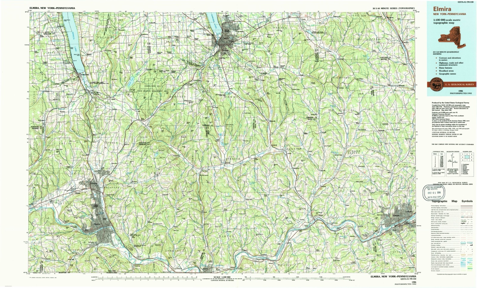
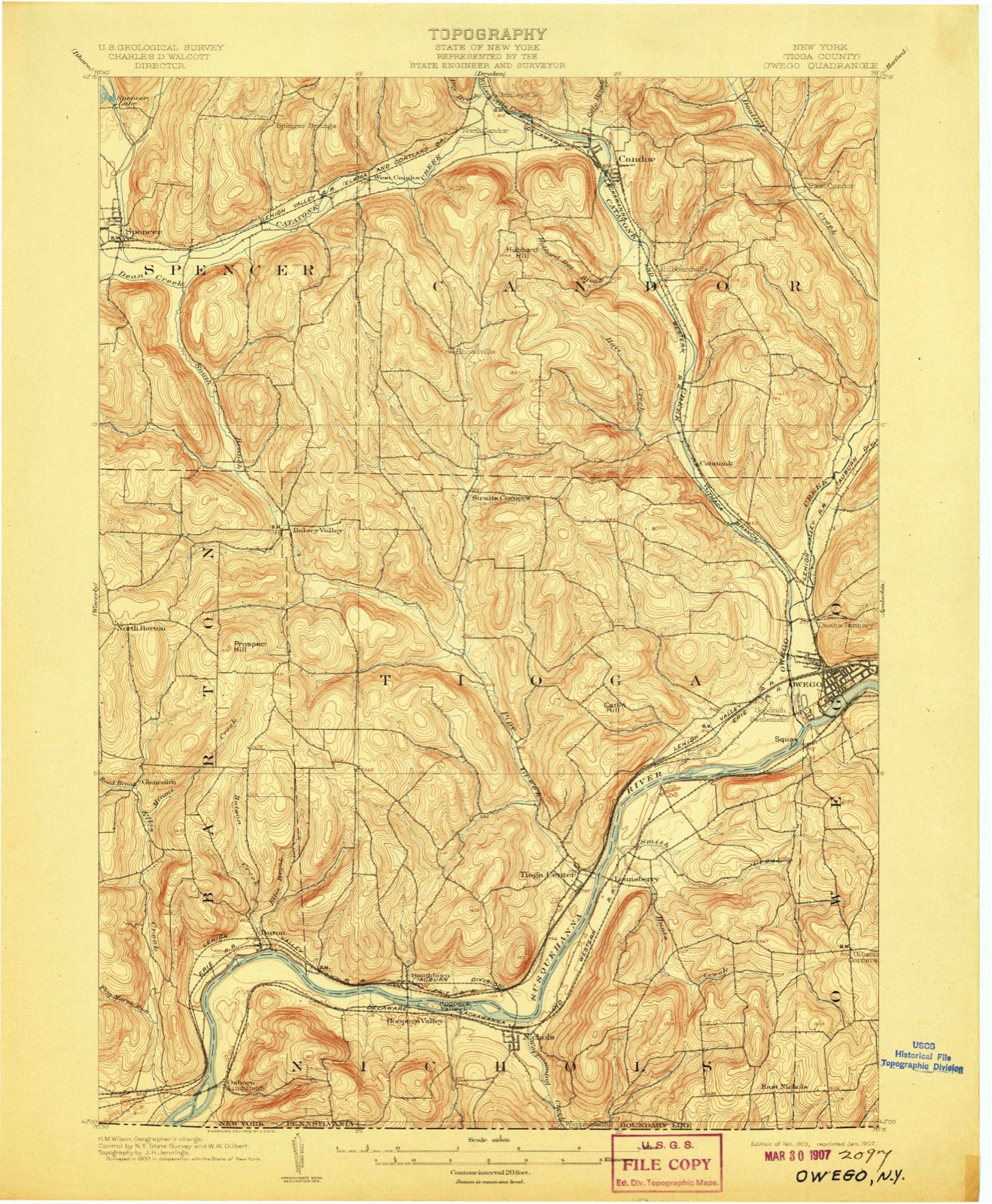
1903 to 1992The same ground, surveyed 89 years apart. Drag the handle to wipe between them. Both sheets are United States Geological Survey originals; neither has been altered.
On record in Owego
Buildings and businesses the archive holds for this place. Each opens its own page, with the source record it came from.
On the National Register 10 records
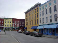 179 Front St, Owego Central Historic Districtlisted 1980
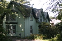 James C. Beecher Houselisted 2012
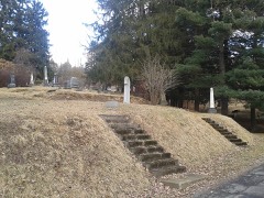 Evergreen Cemeterylisted 2002
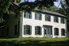 Hiawatha Farmlisted 1998
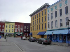 Owego Central Historic District (Boundary Increase)listed 1998
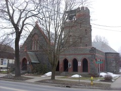 St. Paul's Churchlisted 1997
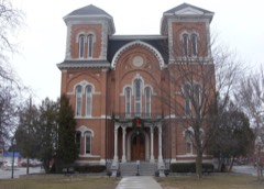 Tioga County Courthouselisted 1972
 US Post Office-Owegolisted 1989
 Vesper Clifflisted 2005
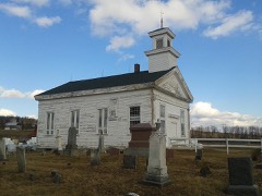 Waits Methodist Episcopal Church and Cemeterylisted 2000
Population over time
3 figuresOwego fell from 3,911 to 3,654 between 2000 and 2020. These are the recorded population figures Wikidata holds for this place, reached through the Geographic Names Information System number this page is keyed on rather than by name, so they belong to this place and not to another of the same name. Most are census counts, but not all are: an early figure may be a founding or settlement estimate, and an estimate published within five years of a census is left out. The change column is computed, and is left blank where more than 20 years separate a figure from the one before it, because a gap that long is not a change between two counts.
| Year | People | Change |
|---|---|---|
| 2000 | 3,911 | |
| 2010 | 3,896 | -15 (-0%) |
| 2020 | 3,654 | -242 (-6%) |
Topographic sheets covering this place
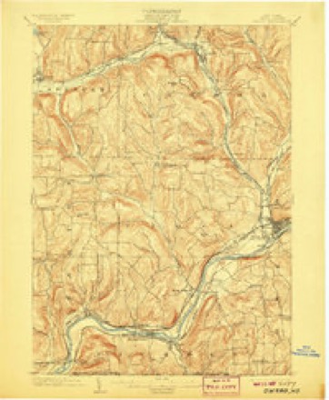
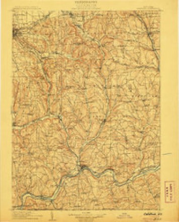
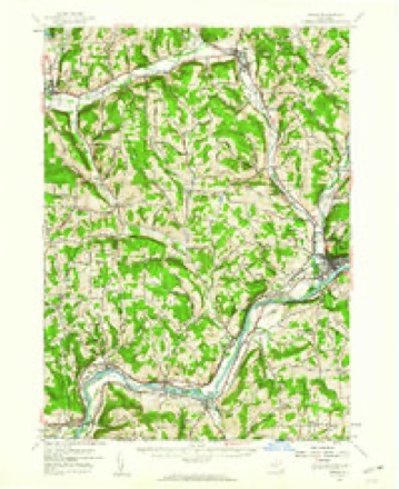
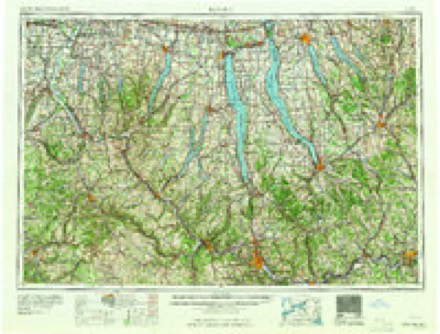
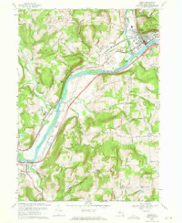
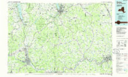
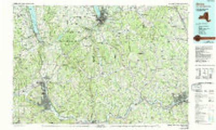
10 surveys from 21 printed sheetsMatched by testing this settlement's coordinate against the published boundary of every sheet in the United States Geological Survey's historical collection. Each opens the scanned sheet at the Survey.
- 1903 USGS Owego quadrangle1:62500, 6 printings
- 1906 USGS Catatonk quadrangle1:125000
- 1950 USGS Elmira quadrangle1:250000, 2 printings
- 1956 USGS Owego quadrangle1:62500
- 1958 USGS Elmira quadrangle1:250000, 2 printings
- 1962 USGS Elmira quadrangle1:250000, 4 printings
- 1965 USGS Elmira quadrangle1:250000
- 1969 USGS Owego quadrangle1:24000, 2 printings
- 1986 USGS Elmira quadrangle1:100000
- 1992 USGS Elmira quadrangle1:100000
Fires near this place
92 since 1992Regional context, not property-specific evidence. The federal wildfire occurrence database lists 92 fires within 5 miles of Owego between 1992 and 2018, burning about 85 acres in total. 6 started naturally. 11 were recorded as arson. Distance is straight-line from the map coordinates, so a fire counted here may appear on a neighbouring settlement's page as well.
| Reported cause | Fires |
|---|---|
| Missing data/not specified/undetermined | 40 |
| Debris and open burning | 23 |
| Arson/incendiarism | 11 |
| Natural | 6 |
| Recreation and ceremony | 4 |
| Other causes | 3 |
| Misuse of fire by a minor | 2 |
| Equipment and vehicle use | 2 |
| Power generation/transmission/distribution | 1 |
The most recent of them, most recent first, with the day each was reported and the service that recorded it.
| Date | Cause | Size | Reported by | Name on the report |
|---|---|---|---|---|
| 7 September 2002 | Recreation and ceremony | under an acre | Fire Department of New York | not named |
| 4 September 2002 | Missing data/not specified/undetermined | under an acre | Fire Department of New York | not named |
| 18 September 2015 | Missing data/not specified/undetermined | under an acre | Fire Department of New York | N/A |
| 12 September 2002 | Debris and open burning | 1.0 acres | Fire Department of New York | not named |
| 1 September 2006 | Arson/incendiarism | under an acre | Fire Department of New York | not named |
| 6 August 2010 | Missing data/not specified/undetermined | under an acre | Fire Department of New York | not named |
| 17 August 2009 | Missing data/not specified/undetermined | under an acre | Fire Department of New York | not named |
| 1 August 2008 | Missing data/not specified/undetermined | under an acre | Fire Department of New York | not named |
Settlements close enough to share some of these fires:
Mines and quarries near this place
10 of 12 shownRegional context, not property-specific evidence. The federal mineral resources record lists 12 workings within 5 miles of Owego: 7 producers, 4 past producers, 1 prospect. 7 still produce. What was taken out: Sand and Gravel, Construction, Salt. Distance is straight-line from the map coordinates, so a quarry counted here may appear on a neighbouring settlement's page as well.
| Where | Site | Commodity | Status | Recorded |
|---|---|---|---|---|
| K.Pompelly No.1 Well | Salt | Prospect | ||
| Bunce Pit | Sand and Gravel, Construction | Producer | ||
| C & C Ready Mix Sand & Gravel Pit | Sand and Gravel, Construction | Past Producer | Sedimentary | |
| Catatonk Pit | Sand and Gravel, Construction | Producer | ||
| Concrete Materials S & G Pit | Sand and Gravel, Construction | Past Producer | Sedimentary | |
| County Farm | Sand and Gravel, Construction | Producer | ||
| J. W. Bishop Co. | Sand and Gravel, Construction | Past Producer | Sedimentary | |
| Newman Pit | Sand and Gravel, Construction | Past Producer | ||
| Owego Pit | Sand and Gravel, Construction | Producer | ||
| Owego Plant | Sand and Gravel, Construction | Producer |
Storms near this place
57 since 1993Regional context, not property-specific evidence. The National Weather Service names Owego in 57 storm reports between 1993 and 2024: 33 thunderstorm wind, 12 hail, 6 flood, 5 flash flood. The reports record 7 injuries. Each account below is quoted exactly as the forecast office filed it, from the NOAA Storm Events Database, and each date opens the federal record of that event.
| When | Event | Place named | Harm | What the report says |
|---|---|---|---|---|
| May 2002 | Tornado (F1) | Owego | 7 hurt, $600,000 | The tornado first touched down about a mile and a half northeast of the village of Owego, along Carmichael Road. As the tornado passed over a ridge toward Beecher Hill Road, the most extensive damage occurred. Along with major tree damage, two mobile homes were completely destroyed and a house suffered significant damage. Five people were injured in one of the mobile homes, suffering many cuts and bruises. Two elderly occupants of the other home also suffered minor injuries. A piece of lumber went through the side of a home across the street. The damage at this location was consistent with high end F1 tornado, with wind speeds estimated close to 110 mph. The tornado continued east and crossed Lisle Road. As the tornado came over another ridge toward Lisle Road, a gentleman in his barn witnessed the tornado with swirling debris coming over the ridge. He was able to take shelter before many of the windows were blown out of his barn. Significant tree damage could be seen, especially at the top of the ridge. The tornado continued east, crossing Gaskill Road. One property saw significant damage, with one barn destroyed and a shed from the property was torn apart. Debris was blown as far as a quarter mile away. Many large trees were uprooted with others twisted and broken off. Significant tree damage was also seen at the top of the ridge west of the property with many trees broken or twisted off at mid-trunk. Pieces of siding from a home were also found in this area. At this point, it appears the tornado lifted briefly before touching down for the final time in the area where Ford Road, Foster Road, and Whittemore Hill Road meet. The damage here consisted of another mobile home that was completely destroyed and significant tree damage. There was also a significant amount of tree damage along the entire path of the tornado, with many trees uprooted and twisted off in different directions. 30 to 50 homes suffered minor damage in addition to 2 homes that saw more significant damage and the 3 mobile homes that were destroyed. Many barns were also damaged and numerous sheds were destroyed. |
| September 2011 | Flood | Owego | $309,000,000 | A record flood occurred on the Susquehanna river at Owego, NY. The crest was recorded by a high water mark survey at 39.62 feet on September 8, 2011 with an estimated time at about 3:00 PM. This flood smashed the previous record flood event by being nearly 4 feet higher. |
| September 2011 | Flash Flood | Owego | $70,000,000 | Catastrophic flash flooding occurring in the Owego area. Numerous roads and bridges were severely damaged. |
| June 2006 | Flood | Owego | $5,000,000 | no account filed |
| May 2018 | Thunderstorm Wind | Owego | $25,000 | Thunderstorm winds blew down a large tree and damaged a roof to a house. |
| September 2010 | Flash Flood | Owego | $25,000 | Several roads were flooded in and around the Village of Owego. |
| May 2011 | Thunderstorm Wind | Owego | $20,000 | Trees were blown down county-wide with numerous power outages. |
| June 2015 | Thunderstorm Wind | Owego | $15,000 | A severe thunderstorm produced severe winds as it moved across the area. The thunderstorm resulted in a roof being blown off a garage and a tree falling on a car on McMaster street. |
| November 2006 | Flash Flood | Owego | $15,000 | Numerous roads were washed out. |
| August 2018 | Flash Flood | Owego | $10,000 | Flash flooding trapped people in homes. |
| May 2011 | Thunderstorm Wind | Owego | $10,000 | Many trees were blown down in Hickories Park. |
| June 2002 | Thunderstorm Wind | Owego | $10,000 | Tree and power pole down on house. |
| August 1995 | Thunderstorm Wind | Owego | $10,000 | no account filed |
| May 2017 | Thunderstorm Wind | Owego | $7,000 | A thunderstorm moved across the region and became severe. This thunderstorm produced severe winds and uprooted several trees in the area. |
| September 2023 | Thunderstorm Wind | Owego | $5,000 | Strong thunderstorm winds knocked down multiple trees. |
| August 2022 | Thunderstorm Wind | Owego | $5,000 | Strong thunderstorm winds knocked down multiple trees and wires down along Goodrich Road and Glen Mary Drive. |
| April 2020 | Flood | Owego | $5,000 | NY Route 96 was flooded by standing water in both directions. |
| July 2020 | Thunderstorm Wind | Owego | $5,000 | Strong thunderstorm winds brought down trees. |
| August 2020 | Thunderstorm Wind | Owego | $5,000 | Strong thunderstorm winds brought down a tree branch through a roof. |
| December 2020 | Flash Flood | Owego | $5,000 | Mountain Road flooded with considerable runoff ongoing. Water rushing over road and getting deeper. |
| June 2019 | Thunderstorm Wind | Owego | $5,000 | Strong thunderstorm winds brought down a tree on wires on West Avenue. |
| June 2013 | Thunderstorm Wind | Owego | $5,000 | Trees and wires were blown down in Owego. |
| July 2012 | Thunderstorm Wind | Owego | $5,000 | Numerous trees were blown down. Some large trees were snapped in half. |
| May 2011 | Thunderstorm Wind | Owego | $5,000 | Trees were blown down and snapped off. |
| July 1995 | Thunderstorm Wind | Owego | $5,000 | no account filed |
| July 1994 | Thunderstorm Wind | Owego | $5,000 | no account filed |
| August 1993 | Thunderstorm Wind | Owego | $5,000 | no account filed |
| July 2021 | Thunderstorm Wind | Owego | $4,500 | Strong thunderstorm winds knocked down a tree onto vehicle. Trees and utility wires were also knocked down in a separate location. |
| July 2021 | Thunderstorm Wind | Owego | $3,400 | Strong thunderstorms winds knocked snapped two utility poles. |
| July 2024 | Thunderstorm Wind | Owego | $2,000 | Strong thunderstorm winds knocked down a tree and wires on Hickory Park Road. |
| June 2017 | Thunderstorm Wind | Owego | $2,000 | A thunderstorm moved across the region and became severe. This thunderstorm produced severe winds and knocked over trees on Main Street and railroad tracks. |
| July 2010 | Thunderstorm Wind | Owego | $2,000 | Several trees were blown down. A roof was partially blown off a small shed. |
| July 2005 | Thunderstorm Wind | Owego | $2,000 | Thunderstorm winds downed trees. |
| August 2005 | Thunderstorm Wind | Owego | $2,000 | Thunderstorm winds downed a tree and power lines. |
| July 2024 | Thunderstorm Wind | Owego | $1,000 | Strong thunderstorm winds snapped a large tree at Tioga County Fairgrounds. |
| June 2017 | Thunderstorm Wind | Owego | $1,000 | A thunderstorm moved across the region and became severe. This thunderstorm produced severe winds and knocked over a tree. |
| July 2006 | Thunderstorm Wind | Owego | $1,000 | Trees down on some wires |
| April 2020 | Flood | Owego | - | Owego Creek has overtopped it's banks with minor low land flooding occurring. |
| May 2017 | Hail | Owego | - | A thunderstorm developed over the area and produced penny sized hail. |
| July 2014 | Thunderstorm Wind | Owego | - | Rotation in clouds were observed by spotter. |
| July 2012 | Thunderstorm Wind | Owego | - | Large branches were blown down. |
| June 2007 | Thunderstorm Wind | Owego | - | Trees were blown down county wide. |
| June 2000 | Flood | Owego | - | A storm spotter reported a rotating wall cloud over owego. |
| August 2000 | Flood | Owego | - | Heavy thunderstorm rains caused extensive ponding of water on roadways. |
| July 1999 | Thunderstorm Wind | Owego | - | Trees and large branches downed. |
| September 2012 | Hail | Owego | - | no account filed |
| May 2011 | Thunderstorm Wind | Owego | - | no account filed |
| June 2010 | Hail | Owego | - | no account filed |
| September 2010 | Hail | Owego | - | no account filed |
| September 2010 | Hail | Owego | - | no account filed |
| May 2009 | Hail | Owego | - | no account filed |
| August 2008 | Hail | Owego | - | no account filed |
| June 2007 | Hail | Owego | - | no account filed |
| June 2006 | Hail | Owego | - | no account filed |
| May 2004 | Hail | Owego | - | no account filed |
| May 2002 | Hail | Owego | - | no account filed |
| May 1996 | Hail | Owego | - | no account filed |
Nearest settlements
The eight closest, with where each one stands in the county. Distances are straight-line, computed from the Geographic Names Information System coordinates.
| Map | Place | Distance | Sheets |
|---|---|---|---|
| Goodrich | 1.4 miles | 21 | |
| Price Home | 2.6 miles | 29 | |
| Horton Crossing | 3.3 miles | 21 | |
| Owego Heights | 3.5 miles | 21 | |
| Catlin Hill | 4.0 miles | 21 | |
| Flemingville | 4.3 miles | 29 | |
| Gibson Corners | 4.3 miles | 21 | |
| Catatonk | 4.4 miles | 21 |
Elsewhere
Matched on this settlement's Geographic Names Information System number rather than its name, so it cannot be a different place of the same name in another state.
| Wikipedia article on Owego | An encyclopaedic summary. Its text is share-alike, so it is linked here rather than copied. |
| Wikidata item Q993272 | The structured record the population and elevation above come from. Public domain (CC0). |
Provenance
This settlement is recorded in the Geographic Names Information System as feature 959672. The sheet list is computed by point-in-boundary test against the United States Geological Survey's historical topographic inventory. Both are works of the United States government and carry no copyright under 17 U.S.C. 105.
Wildfire. Short, Karen C. 2022. Spatial wildfire occurrence data for the United States, 1992-2020 [FPA_FOD_20221014]. 6th Edition. Fort Collins, CO: Forest Service Research Data Archive. https://doi.org/10.2737/RDS-2013-0009.6 Collected with United States Government funding and usable without additional permissions or fees.
Mines and quarries. USGS Mineral Resources Data System (MRDS) https://mrdata.usgs.gov/mrds/ A work of the United States government, no copyright under 17 U.S.C. 105.
Storms. NOAA National Centers for Environmental Information, Storm Events Database https://www.ncei.noaa.gov/stormevents/ A work of the United States government, no copyright under 17 U.S.C. 105. Narratives are quoted verbatim from the National Weather Service report and are not edited or summarised.