Block
BlockFrom the record
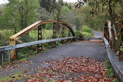
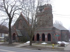
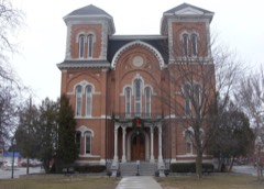
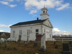
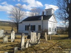
57 National Register listings published here.
Sources: the National Register database, National Park Service
129 topographic sheets cover 64 settlements here, and 57 properties are on the National Register of Historic Places.
57 National Register listings published here.
Sources: the National Register database, National Park Service
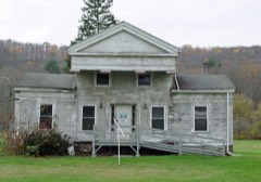
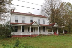
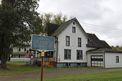
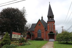
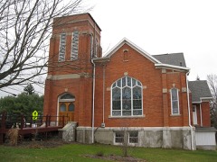
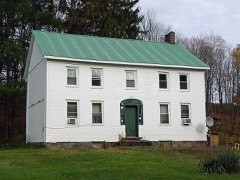
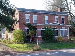
Every property in this county listed on the National Register of Historic Places, with the year it was listed and the federal nomination document.
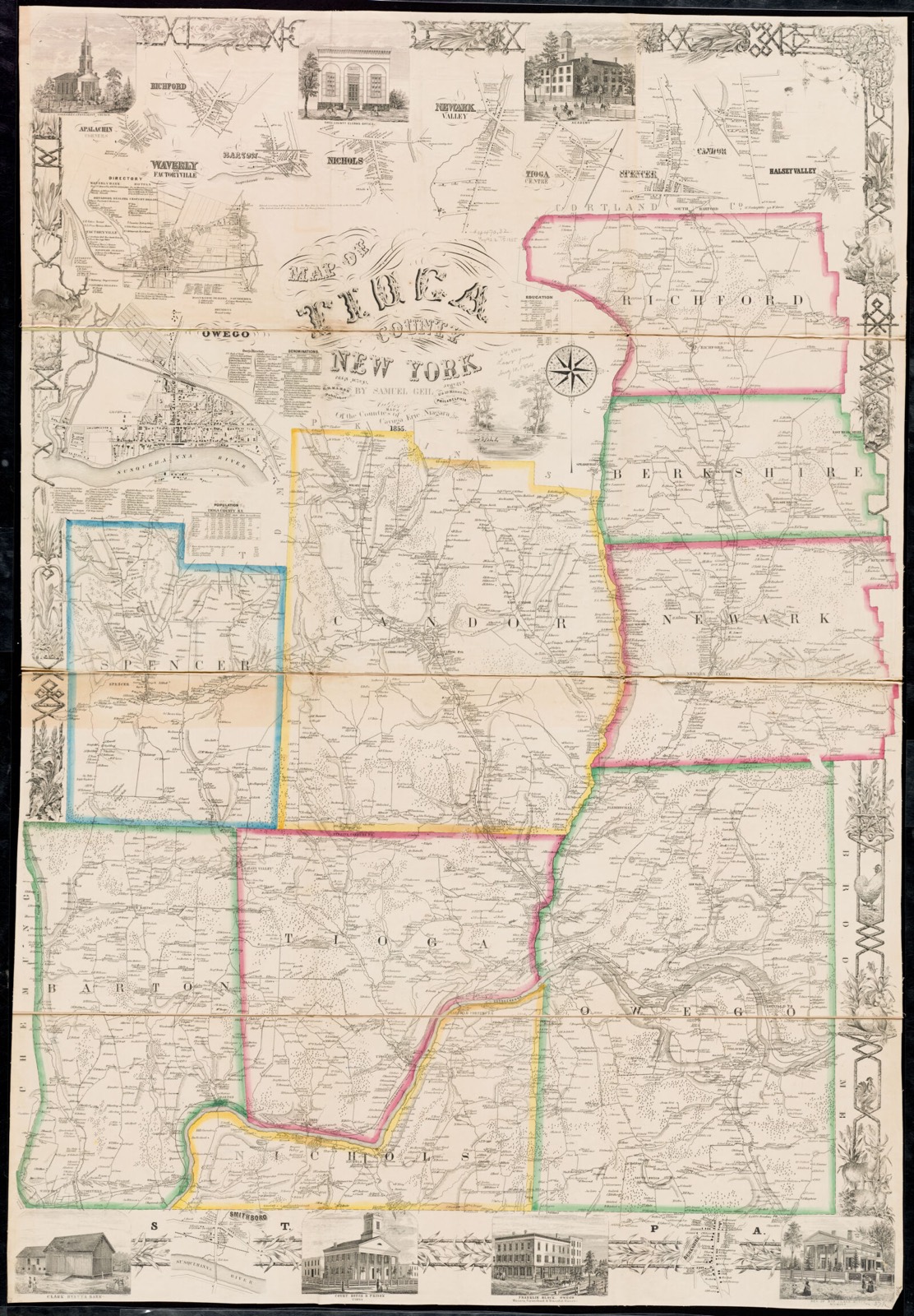
Drawn when these were printed as single large sheets: the town seen from the air, and the county divided into its farms with every owner named. Each opens the original at the Library of Congress.
Selected from the Digital Public Library of America's 4 image records catalogued for this county. Every one shown here carries a public-domain status or a licence that permits reuse on a site that carries advertising; non-commercial, share-alike and restricted images are excluded. The selection is spread across the county's towns (at most eight per town), so no single institution's bulk upload crowds out the rest. Each opens the holding library's record, and the complete set at the Digital Public Library of America is one click away.
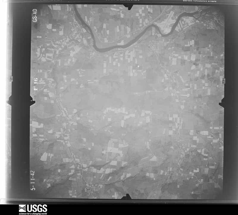
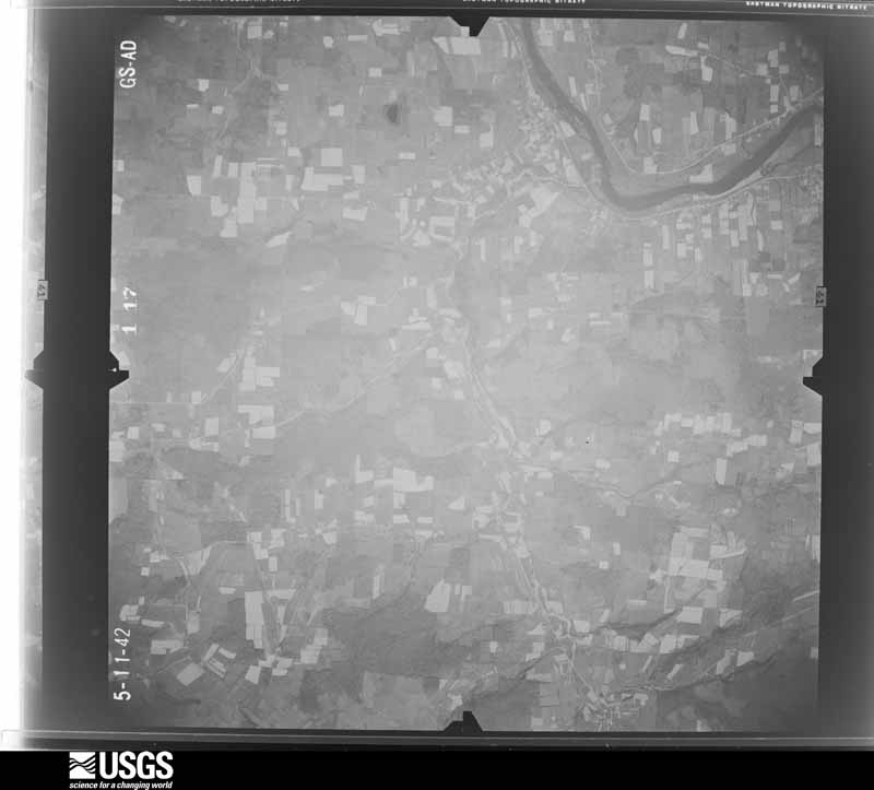
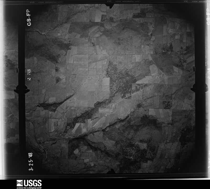
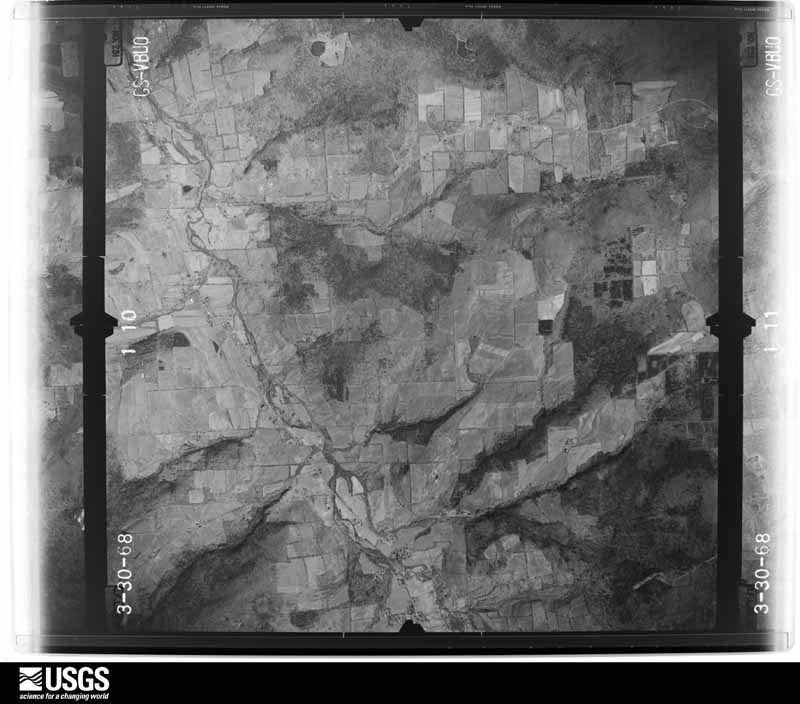
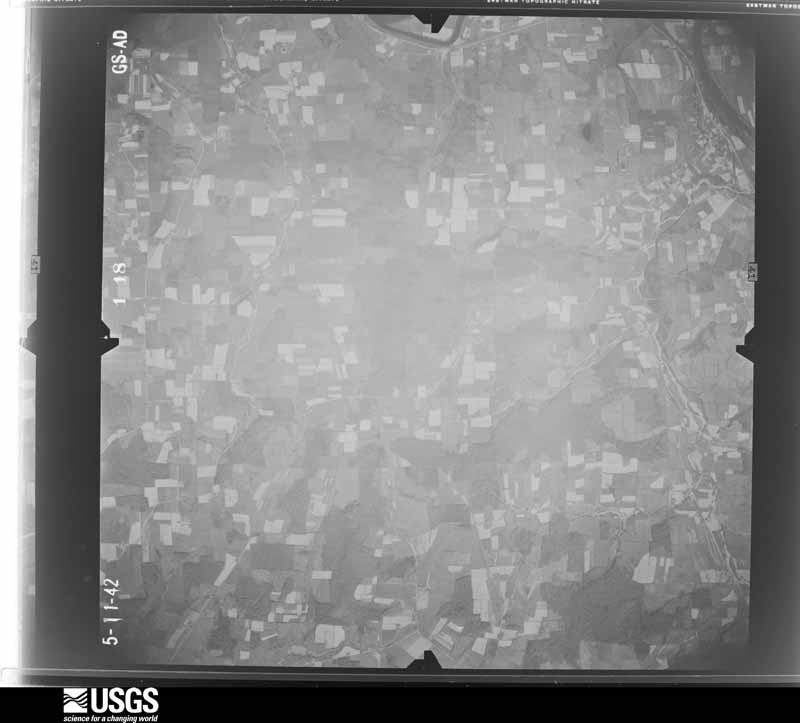
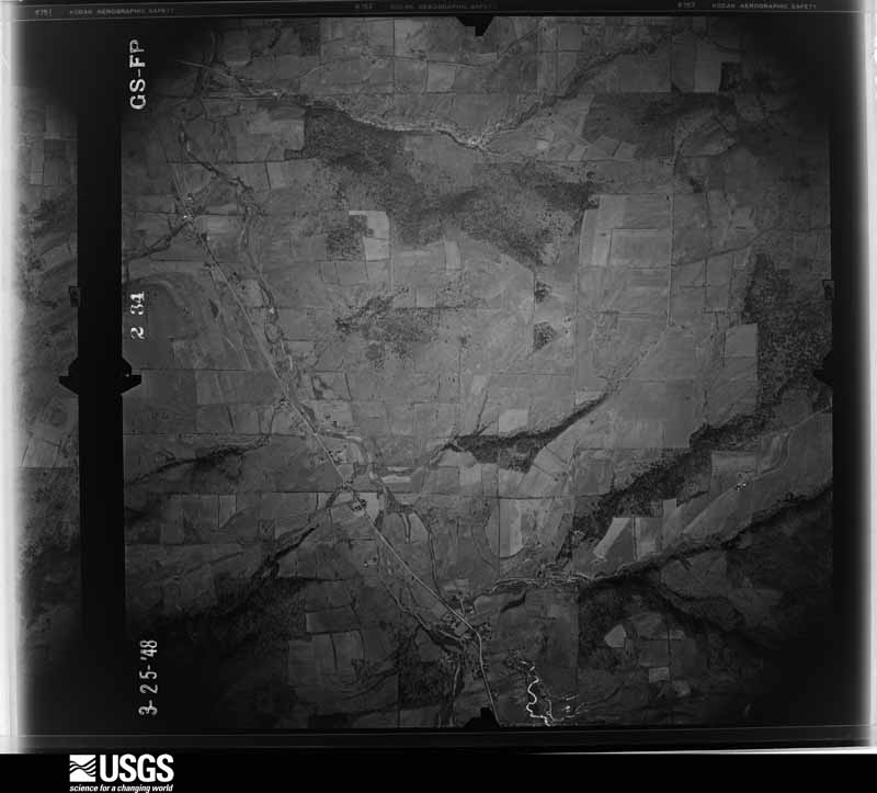
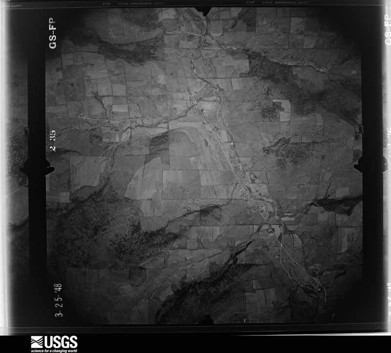
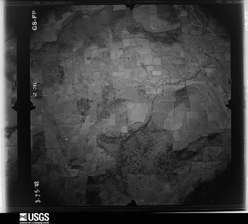
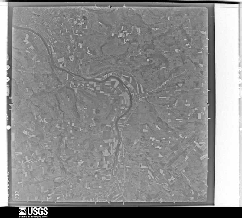
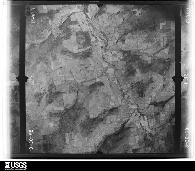
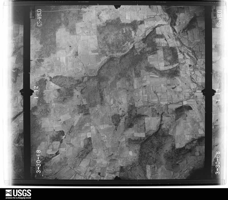
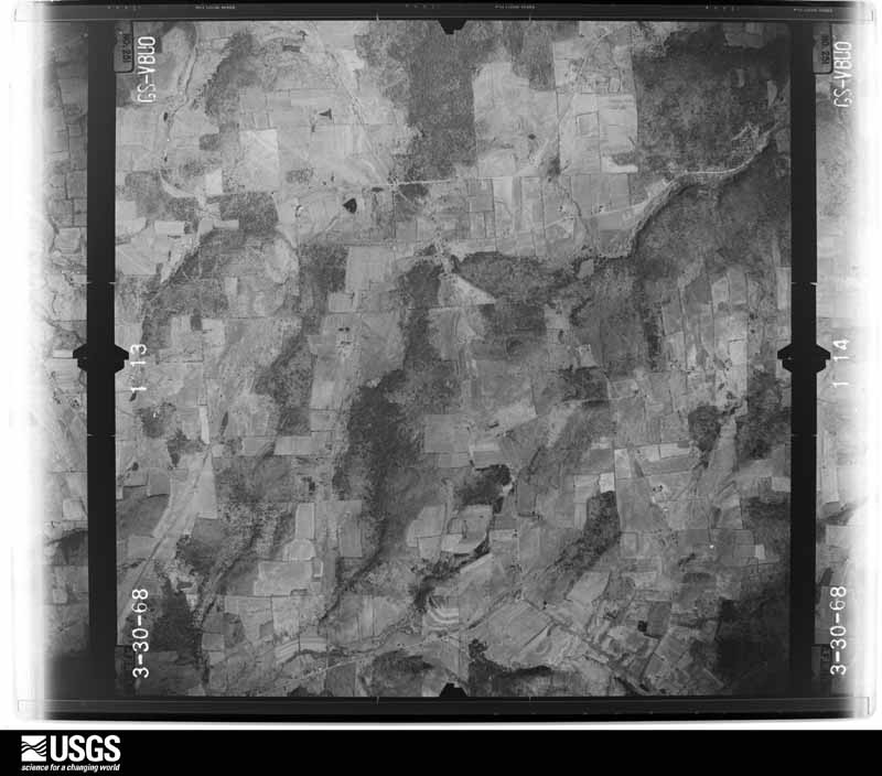
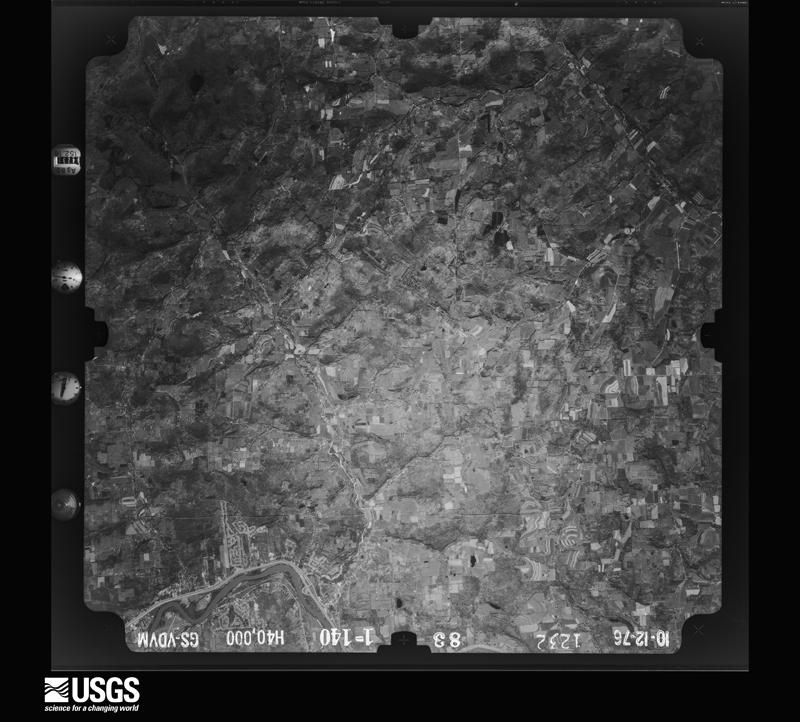
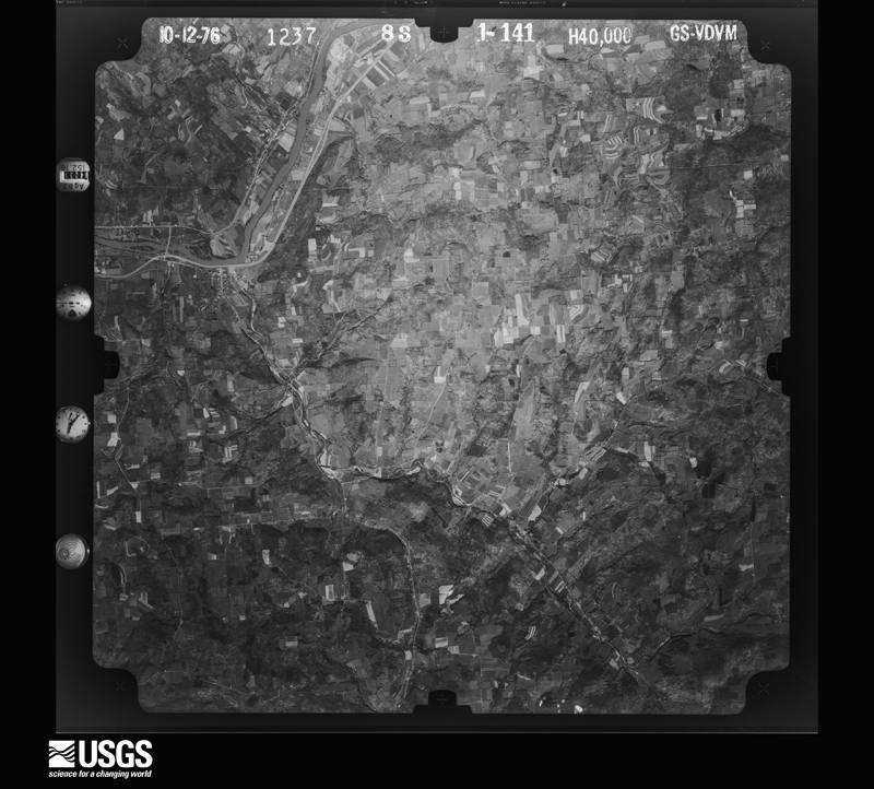
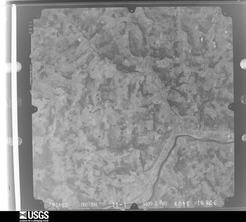
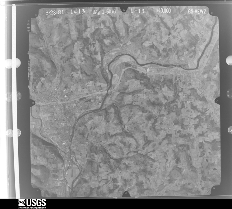
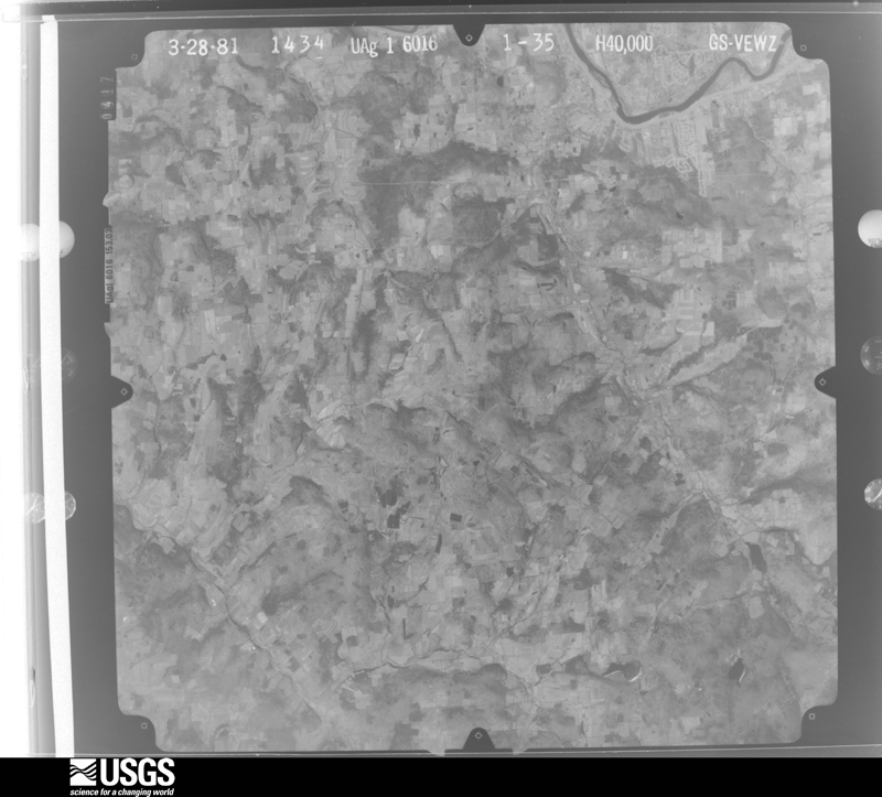
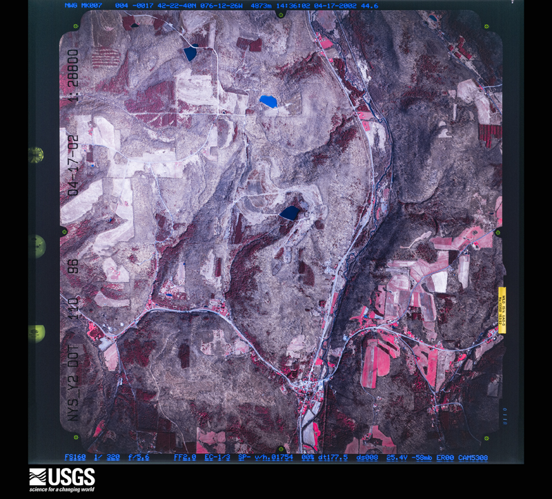
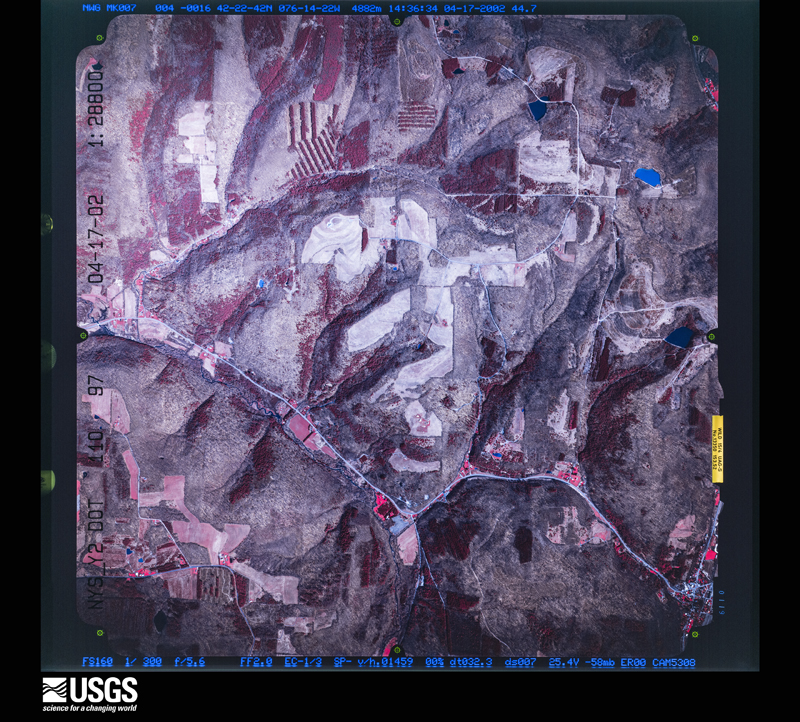
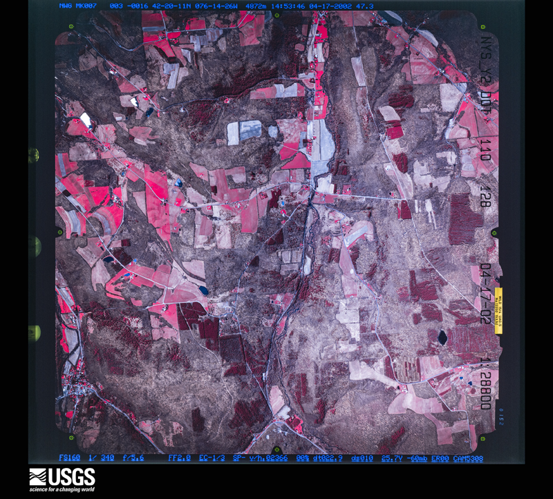
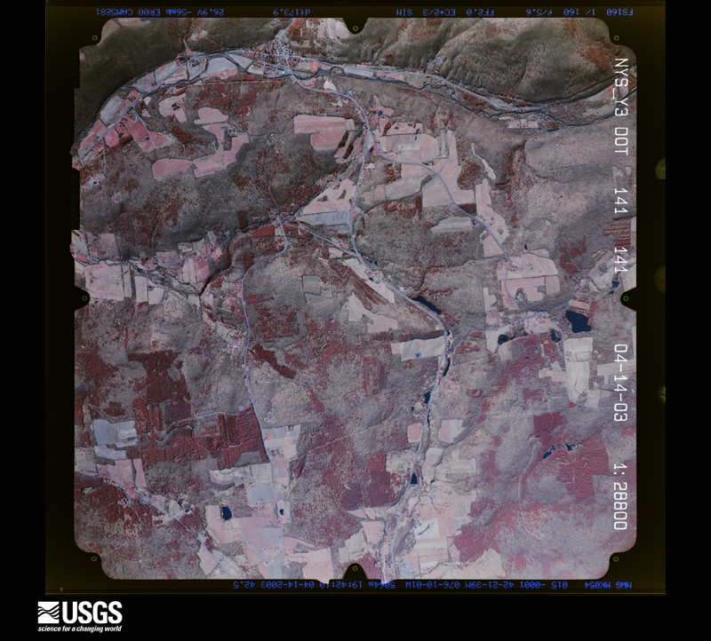
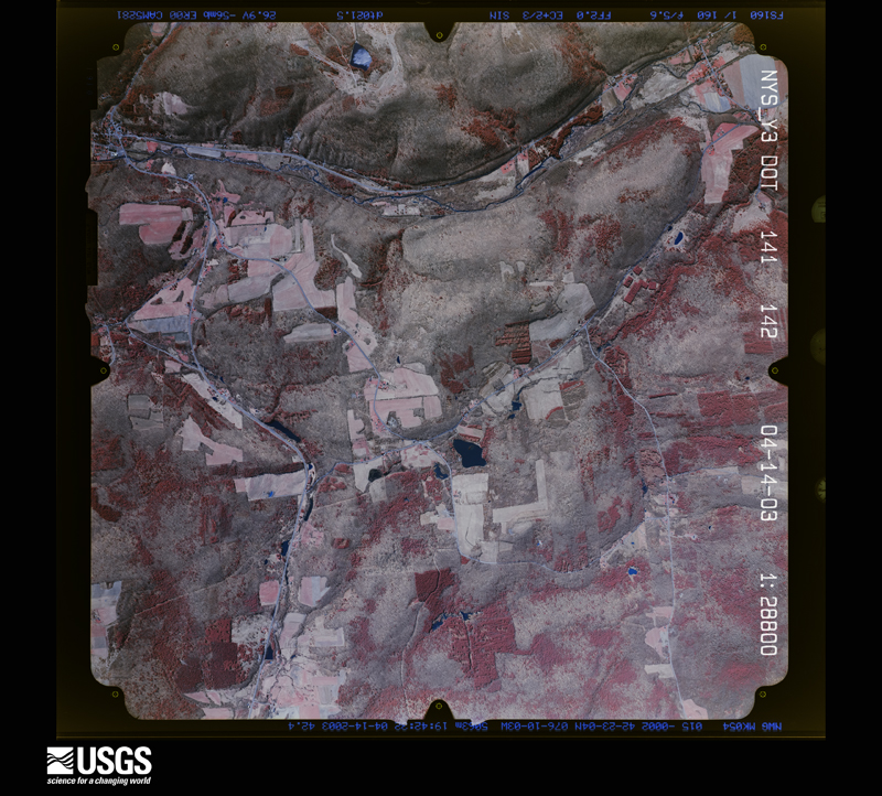
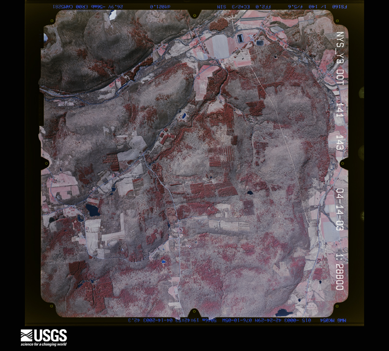
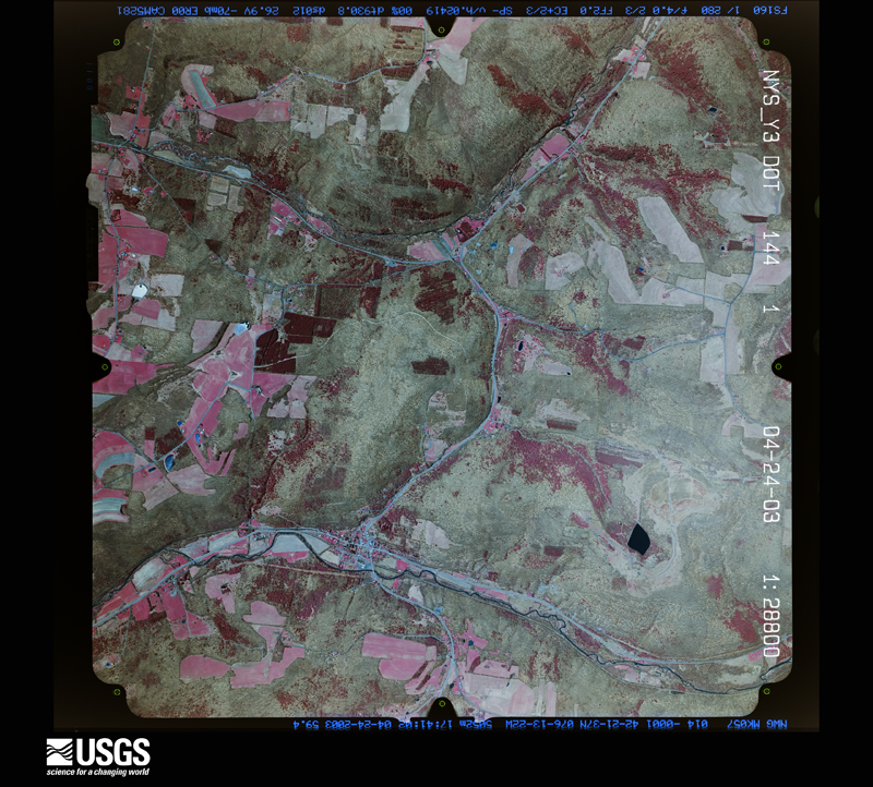
Flown by the U.S. Geological Survey between 1937 and 1989, the Aerial Photo Single Frames collection is the definitive mid-century view of the land: fields, roads and rivers as the camera saw them. The Survey holds 2,001 frames inside the rectangle that bounds this county; the 42 frames below were taken over the county itself, chosen across the decades of flights (at most four a year from that rectangle), so one flight cannot crowd out the rest. The full set is free to browse and download at EarthExplorer under the dataset Aerial Photo Single Frames.

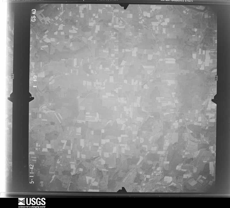

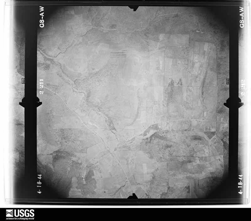
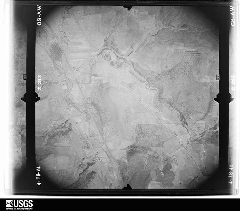
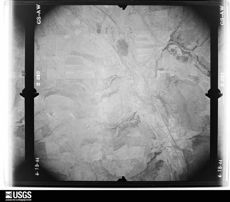












The thermometers that kept this county's weather, and the gages that measured the flow of its streams, as the federal records hold them. The extremes below are measured values from those records, not estimates.
Who lived here in 1950, one enumeration district at a time, as the Census Bureau described each district. Each row opens its official National Archives result, with Population Schedules and ED Maps available there.
Every wildfire the federal occurrence database records inside this county: 566 of them, burning about 761 acres. 48 started naturally and 58 were recorded as arson. Each settlement page carries the fires within five miles of it.
| Reported cause | Fires |
|---|---|
| Missing data/not specified/undetermined | 242 |
| Debris and open burning | 149 |
| Arson/incendiarism | 58 |
| Natural | 48 |
| Equipment and vehicle use | 29 |
| Smoking | 14 |
| Power generation/transmission/distribution | 9 |
| Recreation and ceremony | 8 |
| Misuse of fire by a minor | 6 |
| Other causes | 3 |
The five largest, by the area the report gives. None of them was recorded as arson.
| Date | Cause | Size | Reported by | Name on the report |
|---|---|---|---|---|
| 14 April 1999 | Debris and open burning | 85 acres | New York Forest Rangers | not named |
| 18 March 2010 | Debris and open burning | 38 acres | New York Forest Rangers | not named |
| 24 March 2016 | Debris and open burning | 28 acres | New York Forest Rangers | AGONY HILL FIRE |
| 13 April 2014 | Debris and open burning | 21 acres | New York Forest Rangers | TILBURY HILL FIRE |
| 7 April 1999 | Debris and open burning | 15 acres | New York Forest Rangers | not named |
| 1 May 2015 | Recreation and ceremony | 14 acres | New York Forest Rangers | SOUTHSIDE |
| 24 March 2016 | Debris and open burning | 13 acres | New York Forest Rangers | RANCH ROAD FIRE |
| 30 March 2002 | Debris and open burning | 13 acres | New York Forest Rangers | not named |
Every settlement page carries the fires within five miles of it - see the settlement index below.
The NOAA Storm Events Database holds 418 reports for this county, causing no deaths, 11 injuries and about $606,134,600 in recorded property damage. Each settlement page carries the reports that name it.
| Kind of event | Reports |
|---|---|
| Thunderstorm Wind | 245 |
| Hail | 87 |
| Flash Flood | 61 |
| Flood | 11 |
| Tornado | 8 |
| Lightning | 3 |
| Heavy Rain | 2 |
| Funnel Cloud | 1 |
The most serious of them, by death, then injury, then recorded damage. The accounts are quoted exactly as the forecast office filed them.
| When | Event | Place named | Harm | What the report says |
|---|---|---|---|---|
| May 2002 | Tornado (F1) | Owego | 7 hurt, $600,000 | The tornado first touched down about a mile and a half northeast of the village of Owego, along Carmichael Road. As the tornado passed over a ridge toward Beecher Hill Road, the most extensive damage occurred. Along with major tree damage, two mobile homes were completely destroyed and a house suffered significant damage. Five people were injured in one of the mobile homes, suffering many cuts and bruises. Two elderly occupants of the other home also suffered minor injuries. A piece of lumber went through the side of a home across the street. The damage at this location was consistent with high end F1 tornado, with wind speeds estimated close to 110 mph. The tornado continued east and crossed Lisle Road. As the tornado came over another ridge toward Lisle Road, a gentleman in his barn witnessed the tornado with swirling debris coming over the ridge. He was able to take shelter before many of the windows were blown out of his barn. Significant tree damage could be seen, especially at the top of the ridge. The tornado continued east, crossing Gaskill Road. One property saw significant damage, with one barn destroyed and a shed from the property was torn apart. Debris was blown as far as a quarter mile away. Many large trees were uprooted with others twisted and broken off. Significant tree damage was also seen at the top of the ridge west of the property with many trees broken or twisted off at mid-trunk. Pieces of siding from a home were also found in this area. At this point, it appears the tornado lifted briefly before touching down for the final time in the area where Ford Road, Foster Road, and Whittemore Hill Road meet. The damage here consisted of another mobile home that was completely destroyed and significant tree damage. There was also a significant amount of tree damage along the entire path of the tornado, with many trees uprooted and twisted off in different directions. 30 to 50 homes suffered minor damage in addition to 2 homes that saw more significant damage and the 3 mobile homes that were destroyed. Many barns were also damaged and numerous sheds were destroyed. |
| July 1988 | Thunderstorm Wind | not stated | 2 hurt | no account filed |
| May 1983 | Tornado (F3) | not stated | 1 hurt, $2,500,000 | no account filed |
| June 2002 | Lightning | Nichols | 1 hurt | Women struck by lightning. |
| September 2011 | Flood | Owego | $309,000,000 | A record flood occurred on the Susquehanna river at Owego, NY. The crest was recorded by a high water mark survey at 39.62 feet on September 8, 2011 with an estimated time at about 3:00 PM. This flood smashed the previous record flood event by being nearly 4 feet higher. |
| June 2006 | Flash Flood | Countywide | $100,000,000 | no account filed |
| September 2011 | Flash Flood | Owego | $70,000,000 | Catastrophic flash flooding occurring in the Owego area. Numerous roads and bridges were severely damaged. |
| September 2011 | Flash Flood | Apalachin | $25,000,000 | Catastrophic flash flooding occurred in the Apalachian area. Many roads were flooded, with streams flowing in people's yards. Houses, roads and bridges were severely damaged. |
| September 2011 | Flash Flood | Straits Corners | $20,000,000 | Catastrophic flash flooding occurred from Owego Creek and Catatonk Creek|into the Village of Owego and surrounding areas. Numerous roads, bridges and homes were severely damaged. |
| September 2011 | Flood | Litchfield | $16,000,000 | Record flooding occurred along the Susquehanna River near Waverly, NY between September 7th and September 12th, 2011. The river crested at 26.67 feet at 4:15 PM on September 8th as determined by a USGS high water mark survey. This surpassed the previous record of 22.52 feet set during the June 2006 flood. |
| September 2011 | Flash Flood | West Newark | $15,000,000 | Catastrophic flash flooding of roads, bridges and homes occurred in the Newark Valley area. Numerous roads, homes and bridges were severely damaged. |
| September 2011 | Flash Flood | Lounsberry | $10,000,000 | The Engelbert farm which is just east of Lounsberry on East River Road is several feet under water and has been since mid-afternoon. There is significant damage to equipment, buildings and crops. Some livestock were lost in the flash flood. |
| September 2011 | Flash Flood | Nichols | $8,000,000 | Catastrophic flash flooding in the Nichols area. Most roads and bridges were severely damaged. |
| June 2006 | Flood | Owego | $5,000,000 | no account filed |
| January 1996 | Flash Flood | Countywide | $4,500,000 | no account filed |
| April 2011 | Flash Flood | Litchfield | $3,000,000 | Major flash flooding occurred in several areas of the county during the overnight hours on the 28th, especially along the State Route 38 corridor. The town of Owego had 1.5 million in damages to roads, five major stream crossings, ditches, culverts and road shoulders. The Town of Newark Valley had $800,000 in damages, including 50 homes that were impacted, as well as road washouts and closures. Schools were closed in the town due to impassable roads. |
| August 1988 | Tornado (F1) | not stated | $2,500,000 | no account filed |
| May 1983 | Tornado (F3) | not stated | $2,500,000 | no account filed |
| September 2011 | Flash Flood | Smithboro | $2,000,000 | Catastrophic flash flooding was reported in and around Smithboro. Numerous roads and bridges were severely damaged. |
| September 2011 | Flash Flood | Glencairn | $2,000,000 | Catastrophic flash flooding was reported in the Barton area. Sulpher Springs Road was flooded along with many other roads and bridges. Severe damage was reported. |
| May 2000 | Flash Flood | Countywide | $1,250,000 | Numerous roads and highways were closed due to damage caused by flooding and washouts. Several storms trained over Tioga county, New York and produced rainfall amounts of 2 to 3 inches in a period of 3 to 6 hours. The rain fell on waterlogged ground since April was a wet month (3rd wettest all time at NWS Binghamton). As the runoff fed into local drainage channels, small creeks which feed into the east branch of the Owego Creek began to rise rapidly. Several of these creeks left their banks and flowed freely across roads, leaving them littered with debris especially in Newark Valley, Candor, Nichols, Tioga Center, and Owego. One of the more significant events occurred along Bridge Street, Silk Street, and Barber Road in Newark Valley where small creeks feeding into the east branch of the Owego Creek left their banks and caused extensive erosion of the shoulders of the road as well as to local property. A bridge on Bridge Street was washed out. Some basements were flooded and a tank for home heating oil became dislodged. The stream bed itself also suffered major erosion. One local resident commented that while the area has been known to experience minor flooding in the past, this event was far and away the most damaging in recent memory, surpassing even the devastating snowmelt flood of 1/19-20/96. |
| September 2004 | Flash Flood | Countywide | $1,000,000 | Heavy rain with amounts of 3 to 6 inches caused flash flooding. The rain which fell from the 16th to the 18th was due to the remnants of hurricane Ivan. Many creeks and streams went out of their banks. The Susquehanna River also flooded. |
| July 1998 | Flash Flood | Countywide | $500,000 | The same batch of thunderstorms that dumped very heavy rainfall in Steuben county earlier in the morning proceeded gradually into Tioga county. These storms reorganized during the midday period and produced more excessive rainfall. Again, cooperative observers recorded between 2 and 4 inches of rain in many portions of the county. Western and central sections of the county appeared to bear the brunt of the torrential rains and flash flooding. Among many others, the Catatonk Creek, the Hoyt Creek, and the Bliven Creek caused the most significant problems. The bridge that crosses the intersection of the Owego and Catatonk Creeks at routes 96 and 38 in Owego was closed for several hours as water levels topped the bottom of the bridge. Six different bridges were washed out from late morning into the afternoon hours in Spencer and Candor Townships alone. Numerous roads were closed and water had to be pumped out of the first floor of homes in Spencer near the Owl Creek. By late afternoon, rainfall had since subsided and water levels were receding. Emergency management personnel slapped a price tag of a half million dollars on flood damages. |
| April 2005 | Flash Flood | Countywide | $500,000 | no account filed |
| June 2015 | Flash Flood | Richford | $400,000 | Michigan Hollow road was closed due to severe flooding. |
| June 2015 | Flash Flood | North Spencer | $400,000 | Flood water was surrounding a house on Hurlbert Hollow Road. Water was also flowing across County Routes 96 and 34. |
| June 2015 | Flash Flood | Weltonville | $400,000 | Water was flooding County Route 38 at Rock Street. Several other points to the east of the Village of Newark Valley had water across roadways with numerous culvert washouts. |
| June 2015 | Flash Flood | Candor | $400,000 | Numerous bridges and roads were washed out by severe flooding from North Spencer to Candor and Newark Valley, including a bridge on West Creek Road. |
| July 2017 | Flash Flood | Nichols | $284,000 | Severe flooding occurred throughout the village of Nichols. Major State Route 17 was closed in both directions between Exit 62 and Exit 63 due to bridge erosion. |
| July 2025 | Flash Flood | West Newark | $250,000 | Water was reported up to first floor windows at several residences. |
| September 2018 | Flash Flood | Tioga Center | $250,000 | Severe flash flooding closed numerous roads and bridges. A railroad bridge was almost to the point of collapse, shutting down a major railroad line in the Southern Tier of New York. A pedestrian bridge was washed away and a trailer park was evacuated. Numerous structures were involved in the flooding. |
| September 1992 | Tornado (F0) | not stated | $250,000 | no account filed |
| July 2018 | Flash Flood | Litchfield | $200,000 | Heavy rainfall and resulting flash flooding impacted at least 10 homes on Talmadge Hill Road. Residents were evacuated. |
| July 2004 | Flash Flood | Spencer | $150,000 | Thunderstorms with heavy rain caused flash flooding. A bridge on Hulbert Hollow Road in extreme northwest Tioga County in the town of Spencer was washed out. Before the bridge washed out debris piled up against it causing water to back up several feet deep into nearby yards and houses. A house on the corner of Hulbert Hollow Road and Routes 34/96 had several inches of water in the kitchen. The one resident home was evacuated. State Route 34/96 was closed from the village of Spencer to the Tioga and Chemung county line. The Bible Baptist Church and North Spencer Christian Academy had significant damage to the lower level. Up to 67 inches of water was on the floor. 16 bundles of expensive flooring was lost. The flooring was waiting to be installed in the gym. 2 to 4 inches of rain fell. |
| July 2025 | Flash Flood | Willseyville | $100,000 | Flash flooding was occurring along Prospect Valley Road with water pouring into a residence. The garage and basement of the residence was flooded and a shed was shifted onto another property. |
| August 2013 | Flash Flood | Willseyville | $75,000 | Catatonk Creek overflowed its banks and washed out a bridge. |
| July 2021 | Thunderstorm Wind | South Apalachin | $70,000 | A microburst hit Apalachin NY at 948 pm EDT Wednesday 7/7/21 |as winds up to 80 mph blasted to the northeast and ended around |Campville at 950 pm EDT. The winds were strongest from McFadden |Road to Shady Hill Road and Route 434 near the eastern end of |Main Street. The winds in these areas were between 70 and 80 mph. |The rest of the Apalachin and Campville areas had winds of 60 to |70 mph estimated. The strongest winds lasted about 2 minutes. |Numerous trees were blown down with many structures having |minor damage and a few sustaining major damage from trees |falling on them. ||This area of damage was within a much broader area of thunderstorm |wind damage of 50 to 60 mph that hit many areas in Broome and Tioga |Counties in NY Wednesday evening July 7th, 2021. |
| July 2012 | Tornado (EF1) | Lockwood | $60,000 | This is a continuation of the 14 mile long tornado that first touched down in North Chemung, Chemung County. The tornado moved east and entered Tioga County on a hill just northwest of Lockwood and then moved through the town of Lockwood. East of Lockwood and similar to the Elmira tornado, the tornado takes a turn to the southeast doing heavy damage along Crandall Hill Road and down across Oak Hill Road ending just east of there and north of the town of Barton. The majority of damage was to softwood and hardwood trees which were uprooted or snapped. Unlike the extensive straight-line wind damage found to the south of this track, this damage clearly had signs of circular motion in a very concentrated and narrow path. The damage path averaged about 200 yards wide. Some homes, garages and sheds were damaged by wind with trim or siding torn or shingles off roofs. Some homes had more significant damage from trees falling on them. One barn was completely destroyed. |
| July 2025 | Flash Flood | West Newark | $50,000 | There were multiple reports of people trapped in residences due to rising water in the village of Newark Valley. |
| July 2017 | Flash Flood | Richford | $50,000 | Water from small streams and culverts was flooding over several portions of Route 79 between Richford and Center Lisle. Deep ponding of water was reported on streets in nearby towns and village centers. |
| July 2013 | Flash Flood | Tioga Center | $50,000 | A bridge was washed out on Frost Hollow and West Whitcomb road. |
| September 2010 | Flash Flood | Weltonville | $50,000 | Heavy rain caused flash flooding in a few areas of Newark Valley. The most serious flooding occurred where water and debris flowed downhill across Rock Street to Irishtown Road. Both roads were closed due to flooding. The flood waters and debris flowed across Rock Street to Slosson Creek, which overflowed. Water continued across Route 38 in the Village of Newark Valley. Homes were flooded along Mill Street and Clinton Street where the creek overflowed. Elsewhere in the village, the Owego Creek flooded the Trout Ponds recreation area. Flash flooding also occurred along Route 38B in the town of Newark Valley due to a mud slide. |
| June 2005 | Thunderstorm Wind | Countywide | $50,000 | Thunderstorm winds downed numerous trees and wires. Towns affected were Spencer, Barton, Tioga, Candor, Newark Valley, and Owego. |
| July 2003 | Thunderstorm Wind | Lounsberry | $50,000 | Thunderstorm winds blew down trees and wires. Roads blocked off in Lounsberry. Trees on cars and trucks in Owego. |
| May 1998 | Thunderstorm Wind | Tioga Terrace | $50,000 | A severe thunderstorm produced wind damage in the southeastern portion of the county between 6:25 and 6:30 pm EDT. Many large trees were downed across roadways and power lines in Tioga Terrace. Also, more trees were toppled in Apalachin with a radio tower damaged in South Apalachin. |
| May 1998 | Tornado (F0) | Apalachin | $50,000 | A supercell thunderstorm became tornadic across extreme southeastern section of the county. A tornado touched down in the town of Apalachin around 5:30 pm EDT just west of the Tioga/Broome county line. The tornado skipped along hilltop sections, snapping off trees along its path and causing considerable damage to the back porch of a house. The storm then pushed eastward into Broome county and continued to intensify. |
| March 2005 | Flash Flood | Countywide | $50,000 | no account filed |
| September 1998 | Thunderstorm Wind | Barton | $35,000 | Severe thunderstorms that produced wind damage upstream in both Steuben and Chemung counties contined into Tioga county and clipped southern sections near the state line. Isolated reports of wind damage were received from North Waverly eastward towards Nichols between 215 and 230 pm EDT. Most of the damage took the form of downed trees and power lines. Road signs were also toppled near Nichols. |
| May 1998 | Thunderstorm Wind | Spencer | $30,000 | A line of severe thunderstorms moved across Tioga County knocking down trees in Spencer at 3:15 pm and in Candor at 3:25 pm EDT. |
| October 2019 | Flash Flood | Nichols | $25,000 | Several roads were reported to be washed out throughout the Village and Town of Nichols. |
| May 2018 | Thunderstorm Wind | Owego | $25,000 | Thunderstorm winds blew down a large tree and damaged a roof to a house. |
| August 2018 | Flash Flood | Apalachin | $25,000 | Water was flowing over multiple roadways in the Campville area. |
| July 2017 | Flash Flood | Nichols | $25,000 | Severe flash flooding along Wappasening Creek was reaching nearby homes and crossing over Old Route 282. Debris was collecting at the bridge and threatening its structural integrity. |
| July 2015 | Flash Flood | Barton | $25,000 | Heavy rainfall and flooding caused a culvert washout on Ellis Creek Road. |
| July 2012 | Thunderstorm Wind | Barton | $25,000 | Intense straight line or microburst winds from a thunderstorm struck just west of Route 34 about 4 miles north of the village of Waverly around 414 PM EDT. The high winds took part of the roof off an open pole barn near Route 34 and knocked down and snapped many trees and tree branches along its path to the east northeast toward north Barton. The winds were mainly between 60 and 80 mph, except on Madigan Road where maximum estimated winds were around 100 mph. Numerous large pine trees and a few hardwoods were snapped and a well constructed relatively new horse barn had its roof lifted off and thrown up to 150 yards downwind. The owner of the barn was inside the structure when the roof was lifted off and had both doors barred shut. The winds hit the barn on the side with no windows. It should be noted that the barn was made of metal siding as was the roof. The winds were strong enough to blow the doors out on the sides of the barn and tear the roof off, making it likely that winds were around 100 mph. The winds then continued up the hill to the east and weakened.||The total path length of the microburst wind damage was about 2.5 miles and the width of the damage was around 2 miles wide. |
| May 2011 | Thunderstorm Wind | Campville | $25,000 | Trees and wires were blown down from Campville to Owego. Route 17C was closed. |
| September 2010 | Flash Flood | Owego | $25,000 | Several roads were flooded in and around the Village of Owego. |
| December 2020 | Flood | Barton | $20,000 | The Susquehanna River at Waverly exceeded Moderate flood stage and crested at 18.44 feet on December 26th. |
| July 2018 | Flash Flood | Litchfield | $20,000 | Flash flooding caused damage to Route 34 and numerous road closures in the immediate area north of Waverly. |
| July 2018 | Thunderstorm Wind | Smithboro | $20,000 | Strong thunderstorm winds knocked down trees and wires. A tree was knocked down on a house. |
The Survey's mineral resources record lists 29 workings inside this county. 17 still produce and 12 are closed or unrecorded. Each settlement page carries the workings within five miles of it.
| Commodity | Workings |
|---|---|
| Sand and Gravel, Construction | 26 |
| Salt | 2 |
| Stone, Crushed/Broken | 1 |
The least common of them first, because a county's hundredth gravel pit says nothing its first ten did not.
| Where | Site | Commodity | Status | Recorded |
|---|---|---|---|---|
| George Root Pit | Stone, Crushed/Broken | Past Producer | ||
| C.Miller No.1 Well | Salt | Prospect | ||
| K.Pompelly No.1 Well | Salt | Prospect | ||
| Albro Pit | Sand and Gravel, Construction | Producer | ||
| Barton Gravel Pit | Sand and Gravel, Construction | Producer | ||
| Barton Pit | Sand and Gravel, Construction | Producer | ||
| Barton Pit and Mill | Sand and Gravel, Construction | Past Producer | Sedimentary | |
| Bunce Pit | Sand and Gravel, Construction | Producer | ||
| C & C Ready Mix Sand & Gravel Pit | Sand and Gravel, Construction | Past Producer | Sedimentary | |
| Catatonk Pit | Sand and Gravel, Construction | Producer | ||
| Concrete Materials S & G Pit | Sand and Gravel, Construction | Past Producer | Sedimentary | |
| County Farm | Sand and Gravel, Construction | Producer | ||
| Harrington Pit | Sand and Gravel, Construction | Producer | ||
| J. W. Bishop Co. | Sand and Gravel, Construction | Past Producer | Sedimentary | |
| Newman Pit | Sand and Gravel, Construction | Past Producer | ||
| Nichols Quarry | Sand and Gravel, Construction | Past Producer | Sedimentary | |
| Nichols Quarry | Sand and Gravel, Construction | Producer | ||
| Owego Pit | Sand and Gravel, Construction | Producer | ||
| Owego Plant | Sand and Gravel, Construction | Producer | ||
| Owego Town of Highway Dept Pit | Sand and Gravel, Construction | Producer | ||
| Park Pit | Sand and Gravel, Construction | Past Producer | ||
| Pipher Pit | Sand and Gravel, Construction | Producer | ||
| Porter Sand and Gravel Pit | Sand and Gravel, Construction | Past Producer | Sedimentary | |
| Porter Sand and Gravel Pit | Sand and Gravel, Construction | Past Producer | ||
| Porters Sand and Gravel Pit No. 2 | Sand and Gravel, Construction | Producer | ||
| Roots Gravel Pit | Sand and Gravel, Construction | Producer | ||
| Spencer Pit | Sand and Gravel, Construction | Producer | ||
| Town of Spencer Pit | Sand and Gravel, Construction | Producer | ||
| Ward's Pit | Sand and Gravel, Construction | Producer |
Named settlements recorded in the Geographic Names Information System, each with the topographic sheets covering it. Villages, hamlets and abandoned places alike. Each is shown with the nearest named watercourse or landform and the survey quadrangle it falls on.
Owego town · 13760 · On Apalachin Creek · Endicott quadrangle
30 sheets, 1901 to 1992
Owego town · 13827 · On East Branch Owego Creek · Newark Valley quadrangle
29 sheets, 1901 to 1992
Nichols town · 13812 · On Hoopers Valley Island · Barton quadrangle
22 sheets, 1903 to 1992
Newark Valley town · 13811 · On Wilson Creek · Newark Valley quadrangle
29 sheets, 1901 to 1992
Spencer town · 14883 · Near Hulburt Hollow · West Danby quadrangle
33 sheets, 1893 to 1992
Tioga town · 13734 · Near Hoopers Valley Island · Barton quadrangle
22 sheets, 1903 to 1992
Candor town · 13811 · On Doolittle Creek · Newark Valley quadrangle
29 sheets, 1901 to 1992
Spencer town · 14883 · On South Branch Catatonk Creek · Spencer quadrangle
23 sheets, 1903 to 1992