 Block
BlockScotia, New York
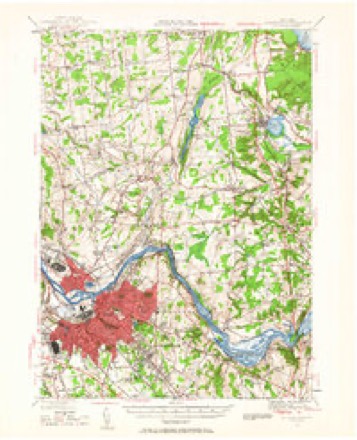
33 topographic sheets cover this place, the earliest surveyed in 1893 and the latest in 1989. It stands in Glenville town. It lies in ZIP code area 12302. It lies near Isle of the Mohawks. The Survey maps it on the Schenectady quadrangle. 7,272 people lived here at the 2020 count. It stands 243 feet above sea level.
Then and now
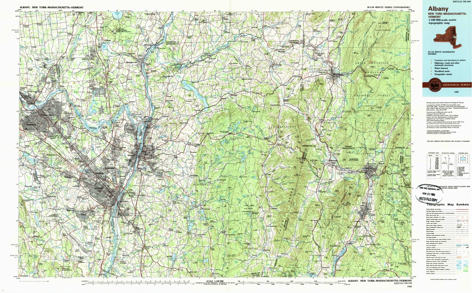
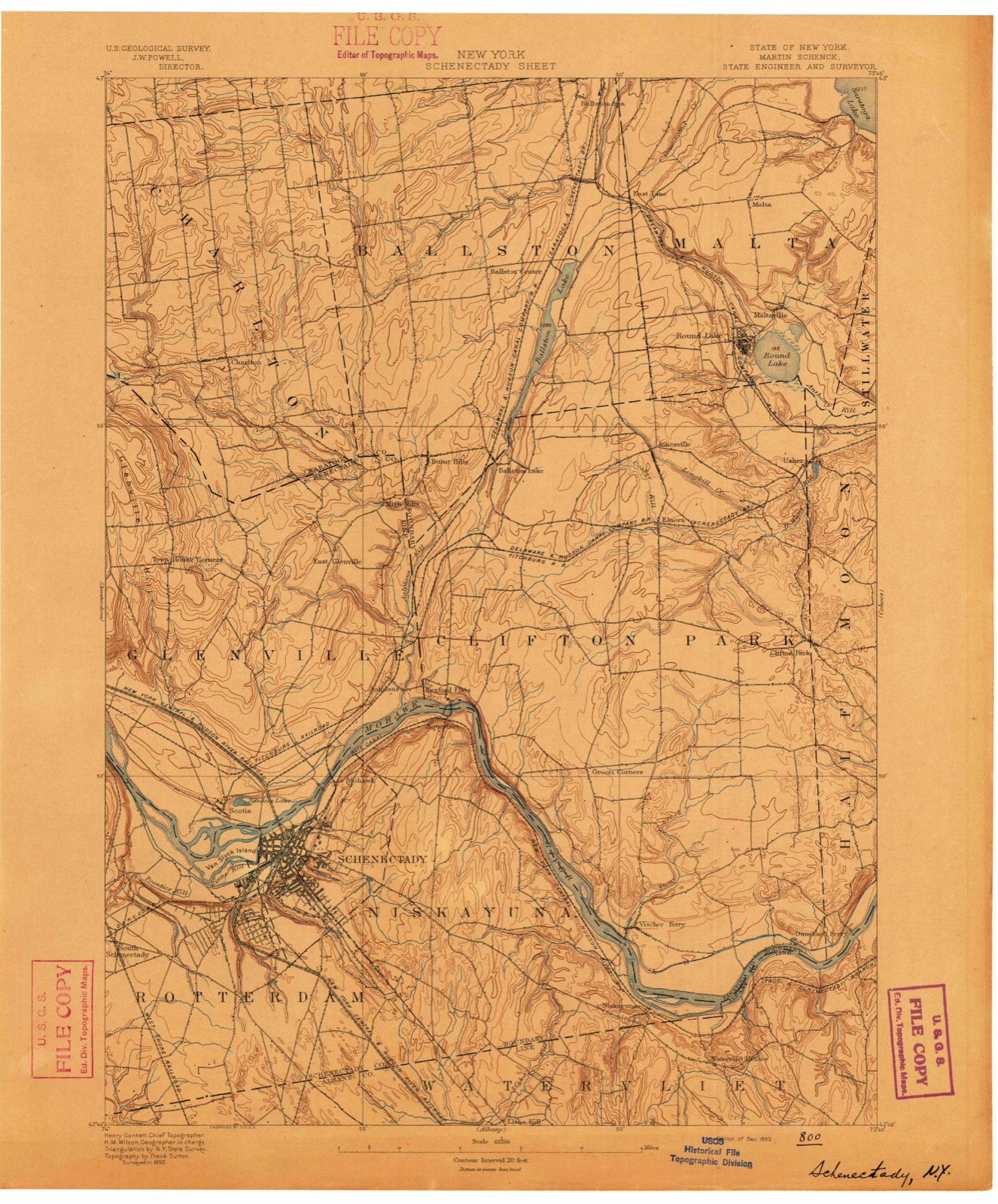
1893 to 1989The same ground, surveyed 96 years apart. Drag the handle to wipe between them. Both sheets are United States Geological Survey originals; neither has been altered.
On record in Scotia
Buildings and businesses the archive holds for this place. Each opens its own page, with the source record it came from.
On the National Register 2 records
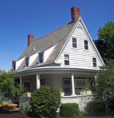 Abraham Glen Houselisted 2004
 US Post Office-Scotia Stationlisted 1989
Population over time
2 figuresScotia fell from 7,729 to 7,272 between 2010 and 2020. These are the recorded population figures Wikidata holds for this place, reached through the Geographic Names Information System number this page is keyed on rather than by name, so they belong to this place and not to another of the same name. Most are census counts, but not all are: an early figure may be a founding or settlement estimate, and an estimate published within five years of a census is left out. The change column is computed, and is left blank where more than 20 years separate a figure from the one before it, because a gap that long is not a change between two counts.
| Year | People | Change |
|---|---|---|
| 2010 | 7,729 | |
| 2020 | 7,272 | -457 (-6%) |
Topographic sheets covering this place
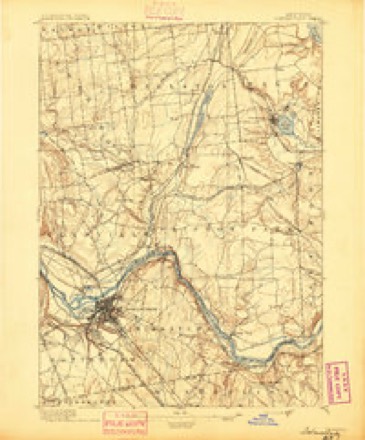
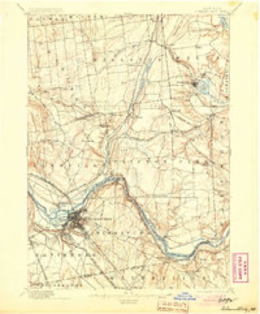
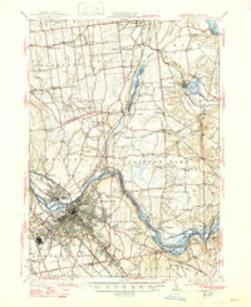
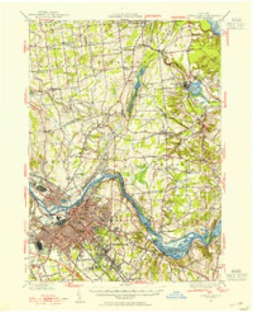
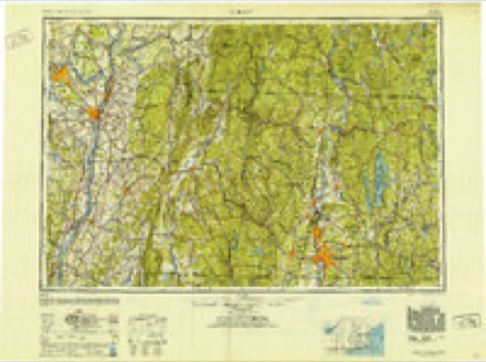
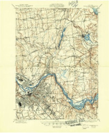
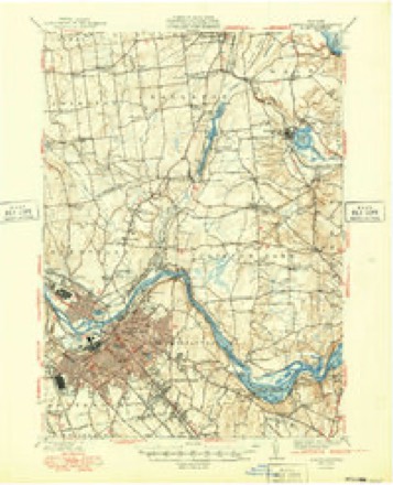
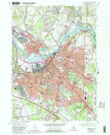
16 surveys from 33 printed sheetsMatched by testing this settlement's coordinate against the published boundary of every sheet in the United States Geological Survey's historical collection. Each opens the scanned sheet at the Survey.
- 1893 USGS Schenectady quadrangle1:62500
- 1895 USGS Schenectady quadrangle1:62500
- 1898 USGS Schenectady quadrangle1:62500, 8 printings
- 1930 USGS Schenectady quadrangle1:62500, 5 printings
- 1947 USGS Schenectady quadrangle1:62500, 2 printings
- 1948 USGS Albany quadrangle1:250000
- 1948 USGS Schenectady quadrangle1:62500
- 1949 USGS Schenectady quadrangle1:62500
- 1954 USGS Schenectady quadrangle1:24000, 4 printings
- 1954 USGS Schenectady quadrangle1:62500
- 1956 USGS Albany quadrangle1:250000, 2 printings
- 1957 USGS Albany quadrangle1:250000
- 1959 USGS Albany quadrangle1:250000
- 1962 USGS Albany quadrangle1:250000
- 1986 USGS Albany quadrangle1:100000
- 1989 USGS Albany quadrangle1:100000, 2 printings
Fires near this place
646 since 1995Regional context, not property-specific evidence. The federal wildfire occurrence database lists 646 fires within 5 miles of Scotia between 1995 and 2020, burning about 435 acres in total. 36 started naturally. 135 were recorded as arson. Distance is straight-line from the map coordinates, so a fire counted here may appear on a neighbouring settlement's page as well.
| Reported cause | Fires |
|---|---|
| Missing data/not specified/undetermined | 320 |
| Arson/incendiarism | 135 |
| Smoking | 61 |
| Natural | 36 |
| Debris and open burning | 35 |
| Misuse of fire by a minor | 24 |
| Equipment and vehicle use | 22 |
| Power generation/transmission/distribution | 10 |
| Recreation and ceremony | 2 |
| Other causes | 1 |
The most recent of them, most recent first, with the day each was reported and the service that recorded it.
| Date | Cause | Size | Reported by | Name on the report |
|---|---|---|---|---|
| 9 September 2010 | Smoking | under an acre | Fire Department of New York | not named |
| 9 September 2003 | Missing data/not specified/undetermined | under an acre | Fire Department of New York | not named |
| 8 September 2012 | Missing data/not specified/undetermined | under an acre | Fire Department of New York | not named |
| 8 September 2003 | Arson/incendiarism | under an acre | Fire Department of New York | not named |
| 7 September 2015 | Missing data/not specified/undetermined | under an acre | Fire Department of New York | NA |
| 7 September 2010 | Missing data/not specified/undetermined | under an acre | Fire Department of New York | not named |
| 7 September 2010 | Debris and open burning | under an acre | Fire Department of New York | not named |
| 7 September 2003 | Arson/incendiarism | under an acre | Fire Department of New York | not named |
Settlements close enough to share some of these fires:
Mines and quarries near this place
4 within 5 milesRegional context, not property-specific evidence. The federal mineral resources record lists 4 workings within 5 miles of Scotia: 3 past producers, 1 producer. 1 still produces. What was taken out: Sand and Gravel, Construction. Distance is straight-line from the map coordinates, so a quarry counted here may appear on a neighbouring settlement's page as well.
| Where | Site | Commodity | Status | Recorded |
|---|---|---|---|---|
| Scotia Sand and Gravel Pit | Sand and Gravel, Construction | Past Producer | Sedimentary | |
| Scotia Sand and Gravel Pit | Sand and Gravel, Construction | Producer | ||
| Vley Pit | Sand and Gravel, Construction | Past Producer | ||
| Vley Plant | Sand and Gravel, Construction | Past Producer | Sedimentary |
Storms near this place
33 since 1995Regional context, not property-specific evidence. The National Weather Service names Scotia in 33 storm reports between 1995 and 2026: 22 thunderstorm wind, 7 flood, 1 hail, 1 heavy rain. The reports record 1 injury. Each account below is quoted exactly as the forecast office filed it, from the NOAA Storm Events Database, and each date opens the federal record of that event.
| When | Event | Place named | Harm | What the report says |
|---|---|---|---|---|
| July 2019 | Thunderstorm Wind | Scotia | 1 hurt | Trees were downed on Elliott Street in Scotia. A man sustained skull and facial fractures due to a falling tree. |
| April 2022 | Flood | Scotia | $20,000 | The Mohawk River at the Freeman's Bridge at Schenectady went over its banks and led to minor flooding in the area. This included at Riverside Park where part of the parking lot and playground were covered in water. |
| July 1995 | Thunderstorm Wind | Scotia | $20,000 | no account filed |
| August 1995 | Thunderstorm Wind | Scotia | $5,000 | no account filed |
| March 2026 | Flood | Scotia | $3,500 | NWS Albany received a report from a local news journalist that the SUNY Schenectady campus was closed due to flooding. Further investigation revealed that all classes were cancelled on the campus specifically due to ice jam flooding. |
| August 2020 | Flash Flood | Scotia | $1,000 | Route 147 from Swan to Neal Street in the town of Scotia had all lanes closed due to flooding. |
| February 2018 | Flood | Scotia | $1,000 | Flooding occurred in the Stockade neighborhood of Schenectady from an ice jam. |
| February 2018 | Flood | Scotia | $1,000 | Water backed up into the Jumpin Jacks parking lot due to an ice jam located at Freemans Bridge. |
| July 2024 | Thunderstorm Wind | Scotia | - | Trees were downed along Route 5 near Scotia. |
| May 2022 | Thunderstorm Wind | Scotia | - | There were reports of downed trees. |
| May 2022 | Thunderstorm Wind | Scotia | - | A tree was reported down near Bruce Street and 1st Street. |
| May 2022 | Flood | Scotia | - | Flooding was reported on some streets in the Village of Scotia. |
| May 2021 | Thunderstorm Wind | Scotia | - | Tree downed on wires. This occurred with the gust front well ahead of the line of thunderstorms. |
| July 2021 | Thunderstorm Wind | Scotia | - | Trees and tree limbs down in several areas in the Village of Scotia, including Washington Avenue, Sunnyside Road, First Street and Houston Street. |
| July 2021 | Thunderstorm Wind | Scotia | - | A large tree was downed on Sixth Street in the Village of Scotia, flattening vehicles and damaging homes. No injuries were reported. |
| December 2021 | Thunderstorm Wind | Scotia | - | Multiple poles and trees were snapped along Sacandaga Road in the Village of Scotia. |
| June 2020 | Thunderstorm Wind | Scotia | - | Large tree branches were downed across Collins Park. |
| July 2019 | Thunderstorm Wind | Scotia | - | Trees were downed blocking a road. |
| July 2019 | Thunderstorm Wind | Scotia | - | Trees were downed on Catherine Street. |
| July 2019 | Thunderstorm Wind | Scotia | - | Forty to fifty tree limbs were downed in Collins Park. |
| January 2018 | Flood | Scotia | - | Water from an ice jam on the Mohawk River backed up into Riverside Park and portions of Schenectady's Stockade District near the river. Water covered Ingersoll Avenue and froze in place. The ice broke a basement window of a residence. |
| May 2018 | Thunderstorm Wind | Scotia | - | Trees were downed on North Ten Broeck Street. |
| August 2017 | Thunderstorm Wind | Scotia | - | A large tree was down across Riverside Avenue. |
| August 2017 | Thunderstorm Wind | Scotia | - | A large tree branch was downed. |
| April 2016 | Thunderstorm Wind | Scotia | - | Several trees and large tree limbs were downed on Schonowee Avenue in Scotia due to thunderstorm winds. |
| June 2015 | Tornado (EF0) | Scotia | - | A brief EF0 tornado occurred in the village of Scotia. Although the tornado was on the ground for just under a quarter mile, it produced damage to trees and power lines on several village streets, especially 6th Street and Vley Road, where a large pine tree was uprooted. The tornado was also accompanied by a microburst, which produced additional wind damage through other portions of the village of Scotia. |
| June 2015 | Thunderstorm Wind | Scotia | - | A National Weather Service Storm Survey determined that a thunderstorm produced a damaging microburst within the village of Scotia. The microburst had a maximum width of 300 yards and extended along a path for nearly one half mile. Widespread damage to trees and power lines occurred for several village streets along the path of the microburst. In addition, a weak EF0 tornado accompanied the microburst as well. |
| May 2013 | Heavy Rain | Scotia | - | Local fire department officials reported heavy rainfall from thunderstorms led to significant runoff of water and dirt onto roads in Scotia. |
| May 2013 | Thunderstorm Wind | Scotia | - | Multiple trees were reported down due to thunderstorm winds in Scotia. |
| September 2012 | Thunderstorm Wind | Scotia | - | Trees and wires were reported down due to thunderstorm winds in Scotia. |
| August 2011 | Flood | Scotia | - | Flooding occurred along the Mohawk River downstream from the Schoharie Creek. Route 5S was closed due to flooding from Interstate 890 to Route 103 in Rotterdam. Low-lying areas along the Mohawk River in Rotterdam Junction flooded and evacuations were necessary. The on- and off-ramp of Interstate 890 were closed between Exit 2 to Exit 5. Flooding occurred through the north side of the City of Schenectady flooding the Stockade and Erie Boulevard. The flood waters were waist-deep in the Stockade and it was reported that a number of houses may have been damaged beyond repair. In Scotia, Collins Park, Jumping Jacks and parts of Schenectady County Community College's campus were engulfed with waters from the Mohawk River. The Schoharie Crossing State Historic Site in Fort Hunter on Schoharie Street was severely damaged by flood waters. The basement and first floor Rotterdam Town Historian Dick Whalen's home on Main Street in Rotterdam Junction were inundated by flood waters badly damaging his 50-year old collection of photographs and historical archives. ||Damage occurred to New York State Erie Canal Locks E-9 (Rotterdam Junction) and E-8 (Scotia) in Schenectady County. Land was scoured at both locks to the north end of the dams.||Major flooding occurred on the Mohawk River at Schenectady. The Schenectady river gage located near the Freeman's Bridge exceeded its flood stage at 7:55 pm EST on August 28th, crested at 226.21 feet at 1:40 pm on August 29th and dropped below flood stage at 12:25 am August 30th. |
| May 2010 | Thunderstorm Wind | Scotia | - | Numerous tree limbs were reported down on various roads in Scotia due to strong thunderstorm winds. Some of the tree limbs took wires down and set off a couple of minor fires. Also, it was reported that one fallen tree ruptured a gas line, resulting in gas service being turned off to Vley Road in Glenville. |
| June 2006 | Hail | Scotia | - | A trained spotter reported that penny-sized hail occurred at Scotia. |
Nearest settlements
The eight closest, with where each one stands in the county. Distances are straight-line, computed from the Geographic Names Information System coordinates.
| Map | Place | Distance | Sheets |
|---|---|---|---|
| Schenectady | 1.6 miles | 33 | |
| Harding Crossing | 1.6 miles | 33 | |
| Schonowe | 1.9 miles | 33 | |
| Beukendaal | 2.2 miles | 33 | |
| Mount Pleasant | 2.2 miles | 33 | |
| Bellevue | 2.2 miles | 33 | |
| Hutchinson Crossing | 2.5 miles | 33 | |
| Hungry Hill | 2.6 miles | 33 |
Elsewhere
Matched on this settlement's Geographic Names Information System number rather than its name, so it cannot be a different place of the same name in another state.
| Wikipedia article on Scotia | An encyclopaedic summary. Its text is share-alike, so it is linked here rather than copied. |
| Wikidata item Q1020602 | The structured record the population and elevation above come from. Public domain (CC0). |
Provenance
This settlement is recorded in the Geographic Names Information System as feature 964672. The sheet list is computed by point-in-boundary test against the United States Geological Survey's historical topographic inventory. Both are works of the United States government and carry no copyright under 17 U.S.C. 105.
Wildfire. Short, Karen C. 2022. Spatial wildfire occurrence data for the United States, 1992-2020 [FPA_FOD_20221014]. 6th Edition. Fort Collins, CO: Forest Service Research Data Archive. https://doi.org/10.2737/RDS-2013-0009.6 Collected with United States Government funding and usable without additional permissions or fees.
Mines and quarries. USGS Mineral Resources Data System (MRDS) https://mrdata.usgs.gov/mrds/ A work of the United States government, no copyright under 17 U.S.C. 105.
Storms. NOAA National Centers for Environmental Information, Storm Events Database https://www.ncei.noaa.gov/stormevents/ A work of the United States government, no copyright under 17 U.S.C. 105. Narratives are quoted verbatim from the National Weather Service report and are not edited or summarised.