 Block
BlockSouth Haven, New York
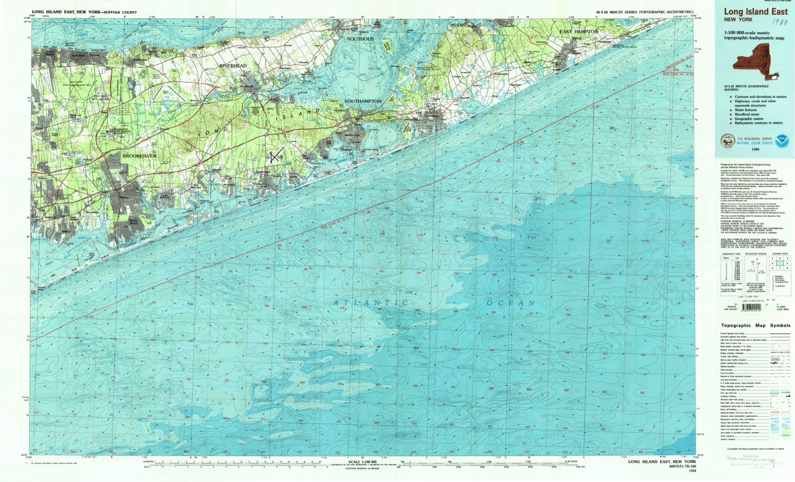
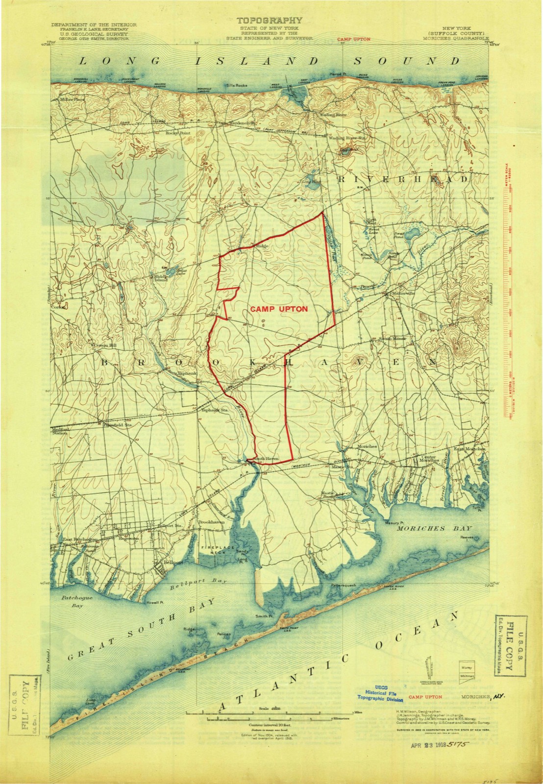
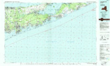
20 topographic sheets cover this place, the earliest surveyed in 1904 and the latest in 1984. It stands in Brookhaven town. It lies in ZIP code area 11719. It stands on Yapahank Creek. The Survey maps it on the Bellport quadrangle.
Then and now
1904 to 1984The same ground, surveyed 80 years apart. Drag the handle to wipe between them. Both sheets are United States Geological Survey originals; neither has been altered.
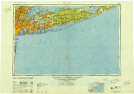
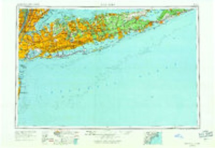
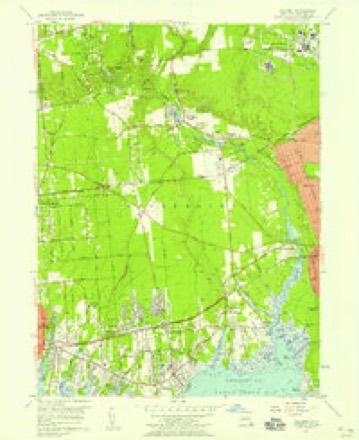
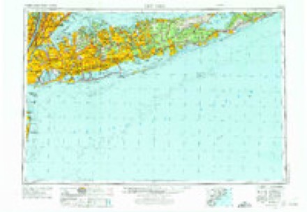
Topographic sheets covering this place
11 surveys from 20 printed sheetsMatched by testing this settlement's coordinate against the published boundary of every sheet in the United States Geological Survey's historical collection. Each opens the scanned sheet at the Survey.
- 1904 USGS Moriches quadrangle1:62500, 2 printings
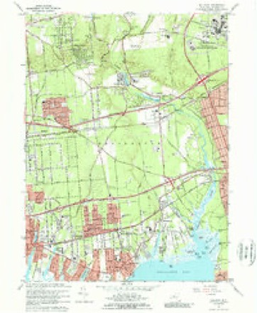
- 1947 USGS Bellport quadrangle1:24000
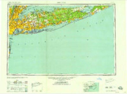
- 1949 USGS New York quadrangle1:250000
- 1954 USGS New York quadrangle1:250000, 2 printings
- 1956 USGS Bellport quadrangle1:24000
- 1957 USGS New York quadrangle1:250000
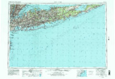
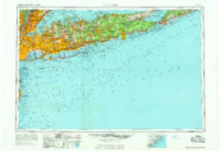
- 1958 USGS New York quadrangle1:250000, 3 printings
- 1960 USGS New York quadrangle1:250000, 2 printings
- 1967 USGS Bellport quadrangle1:24000, 3 printings
- 1969 USGS New York quadrangle1:250000
- 1984 USGS Long Island East quadrangle1:100000, 3 printings
Fires near this place
1,291 since 1992Regional context, not property-specific evidence. The federal wildfire occurrence database lists 1,291 fires within 5 miles of South Haven between 1992 and 2020, burning about 3,248 acres in total. 48 started naturally. 407 were recorded as arson. Distance is straight-line from the map coordinates, so a fire counted here may appear on a neighbouring settlement's page as well.
| Reported cause | Fires |
|---|---|
| Missing data/not specified/undetermined | 688 |
| Arson/incendiarism | 407 |
| Smoking | 55 |
| Natural | 48 |
| Equipment and vehicle use | 36 |
| Misuse of fire by a minor | 20 |
| Debris and open burning | 16 |
| Recreation and ceremony | 12 |
| Fireworks | 7 |
| Power generation/transmission/distribution | 1 |
| Railroad operations and maintenance | 1 |
The most recent of them, most recent first, with the day each was reported and the service that recorded it.
| Date | Cause | Size | Reported by | Name on the report |
|---|---|---|---|---|
| 9 September 2017 | Debris and open burning | under an acre | Fire Department of New York | N/A |
| 9 September 2012 | Missing data/not specified/undetermined | under an acre | Fire Department of New York | not named |
| 8 September 2010 | Missing data/not specified/undetermined | under an acre | Fire Department of New York | not named |
| 8 September 1997 | Arson/incendiarism | 1.0 acres | New York Forest Rangers | not named |
| 7 September 2019 | Missing data/not specified/undetermined | under an acre | Fire Department of New York | N/A |
| 7 September 2015 | Missing data/not specified/undetermined | under an acre | Fire Department of New York | N/A |
| 7 September 2015 | Missing data/not specified/undetermined | under an acre | Fire Department of New York | N/A |
| 7 September 2015 | Arson/incendiarism | under an acre | Fire Department of New York | NA |
Settlements close enough to share some of these fires:
Storms near this place
4 since 2008Regional context, not property-specific evidence. The National Weather Service names South Haven in 4 storm reports between 2008 and 2021: 3 thunderstorm wind, 1 tornado. No death or injury is recorded in these reports. Each account below is quoted exactly as the forecast office filed it, from the NOAA Storm Events Database, and each date opens the federal record of that event.
| When | Event | Place named | Harm | What the report says |
|---|---|---|---|---|
| November 2021 | Tornado (EF1) | South Haven | $900,000 | A National Weather Service Storm Survey Team confirmed an EF1 tornado in Shirely, NY. A tornado likely touched down just southwest of Francine Place and Mastic Blvd, travelling east northeast along the Long Island Railroad tracks and adjacent backyards. |Numerous oak, maple, and pine trees were uprooted and laying in a northerly direction. Several trees were also snapped at the trunk or had large branches sheared off along this path. In addition, minor roof and siding damage was observed for several houses, as well as leaf splatter on south and east sides. The damage swath at this point was only about 25 yards wind. The tornado then hooked northeast over the Lidl Supermarket (Southwestern corner of the Shopping Center Complex), |flipping over a 5 Ton air handler unit on the roof, before tearing off the parapet and collapsing the covered walkway of the Chiptole Mexican Grill on the northeast corner of the Shopping Center. The damage path remained about 25 yards, but damage was consistent with EF1 winds of 95 to 105 mph.||Public video showed the apparent tornadic circulation lifting northeast across the intersection of William Floyd Parkway and Montauk Highway towards the Applebee's Shopping Center, with debris being thrown in one direction then another. Siding and Shingles from the Chiptole were thrown northeast about 250 yards across this |intersection and into The Applebee's Shopping Center. Other than the debris, some small trees were uprooted in the parking lot and laying to the northeast and flashing was ripped off the south side of the Applebee's and unoccupied adjacent retail store. The tornadic circulation may have briefly lifted at this point, with about a 50 yd. swath of 65 to 75 mph straight line winds across this shopping center. ||The tornadic circulation then touched down once again to the northeast of the Applebee's Shopping Center lifting the entire roof off a 2 story multi family residence on the corner of Grand Avenue and McGraw Street. The roof was tossed as far as 150 yards to the north, into the backyard of neighboring houses to the north on Grand Avenue. One section of this roof, actually impaled itself into the side of the neighboring house to the north, and made such a strong impact that it skewed the vertical structure of that house. Based on the extent of structural damage to these houses, and adjacent 50 yd. swath of uprooted, snapped or sheared large trees, this damage was consistent |with EF1 winds of around 100 mph. The tornado strength likely peaked at this point. The entirety of the EF1 Tornadic damage path to the southwest and northeast of Montauk High was around 1/4 mile.||The tornado would then make its way north across Sunrise Highway, skipping its way northeast for the next 4 1/2 miles, with areas of damage consistent with an EF0. On its path it continued northeast through Brookhaven Calabro Airport, flipping over or shift a few small single engine planes, thereafter it moved northeast through Pancho Drive, Titmus Drive, Abbott Avenue, and Burney Blvd just to the east northeast of the airport. Several large trees were uprooted, trunks snapped or branches sheared in an approximately 50 yd. path, with accompanying minor roof, siding and fencing damage in this area. The tornado likely skipped north to the intersection of Barnes Roads and Moriches-Middle Island Road with a small area of additional tree damage, before making a final nearly mile long and 50 yd. wide tornado damage path northeast across Pine Hills Golf Course, and then through the neighborhoods of Foreston Circle, Eagle Lane, Nestledown Avenue, Wading River Road, Tupelo Street and then across to the intersection of Silas Woods Road and South Street before finally lifting. Several dozens of large hard and soft wood trees were uprooted and laying in a Northerly or Northeast |direction, as compared to the east northeast direction of storm movement. In addition, numerous tree tops were completely sheared to stubs and tree trunks snapped. Minor roof and siding damage was observed for numerous houses along this path, with several fences and chimneys destroyed. A large north / south facing camper on Tupelo Drive as rolled westward on its side. The described one mile long, 50 yd. wide convergent tornadic damage pattern was consistent with an EF1 tornado with 85 to 95 |mph winds and was flanked to the southeast by a 500 yd. path of scattered tree and powerline damage and minor structural damage consistent with 65 to 75 mph southwesterly straight line winds. |
| July 2019 | Thunderstorm Wind | South Haven | $11,000 | Tree down on house along the William Floyd Parkway. |
| July 2008 | Thunderstorm Wind | South Haven | $4,000 | Trees, a flagpole, and wires were downed in Shirley in the vicinity of Montauk Highway and the William Floyd Parkway. |
| December 2021 | Thunderstorm Wind | South Haven | $1,000 | Tree branches reported down near driveway on front lawn. |
Nearest settlements
The eight closest, with where each one stands in the county. Distances are straight-line, computed from the Geographic Names Information System coordinates.
| Map | Place | Distance | Sheets |
|---|---|---|---|
| Shirley | 1.5 miles | 18 | |
| Brookhaven | 1.7 miles | 20 | |
| Yaphank | 2.8 miles | 20 | |
| Mastic | 2.9 miles | 18 | |
| North Bellport | 3.1 miles | 20 | |
| Mastic Beach | 3.2 miles | 18 | |
| Siegfield Park | 3.7 miles | 20 | |
| Bellport | 3.7 miles | 20 |
Elsewhere
Matched on this settlement's Geographic Names Information System number rather than its name, so it cannot be a different place of the same name in another state.
| Wikipedia article on South Haven | An encyclopaedic summary. Its text is share-alike, so it is linked here rather than copied. |
| Wikidata item Q7567437 | The structured record the population and elevation above come from. Public domain (CC0). |
Provenance
This settlement is recorded in the Geographic Names Information System as feature 965767. The sheet list is computed by point-in-boundary test against the United States Geological Survey's historical topographic inventory. Both are works of the United States government and carry no copyright under 17 U.S.C. 105.
Wildfire. Short, Karen C. 2022. Spatial wildfire occurrence data for the United States, 1992-2020 [FPA_FOD_20221014]. 6th Edition. Fort Collins, CO: Forest Service Research Data Archive. https://doi.org/10.2737/RDS-2013-0009.6 Collected with United States Government funding and usable without additional permissions or fees.
Storms. NOAA National Centers for Environmental Information, Storm Events Database https://www.ncei.noaa.gov/stormevents/ A work of the United States government, no copyright under 17 U.S.C. 105. Narratives are quoted verbatim from the National Weather Service report and are not edited or summarised.