Block
BlockFrom the record
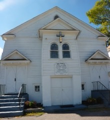
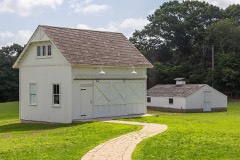
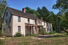
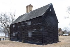
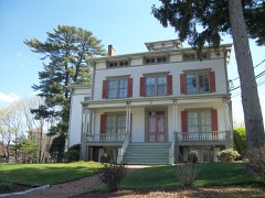
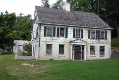
338 National Register listings published here, 10 of them National Historic Landmarks.
Sources: the National Register database, National Park Service
289 topographic sheets cover 284 settlements here, and 338 properties are on the National Register of Historic Places.
338 National Register listings published here, 10 of them National Historic Landmarks.
Sources: the National Register database, National Park Service
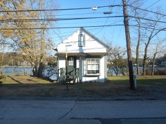
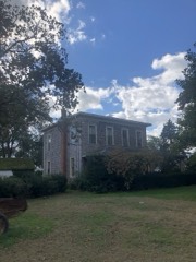
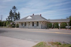
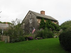
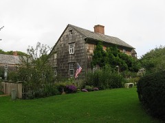
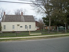
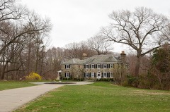
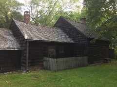
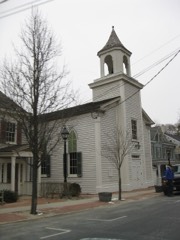
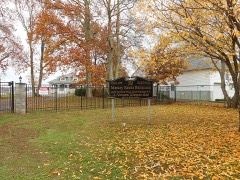
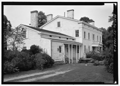
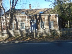
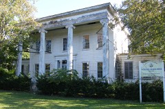
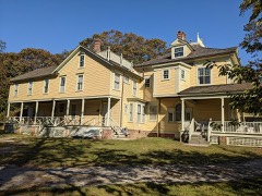
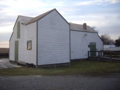
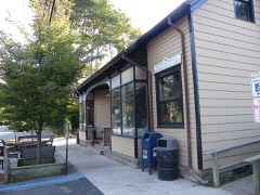
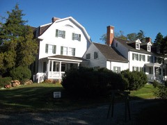
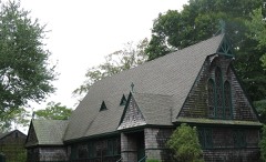
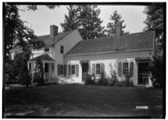
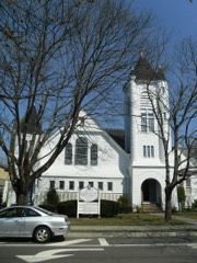
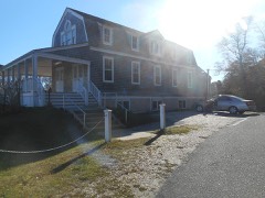
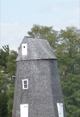
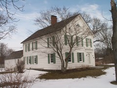
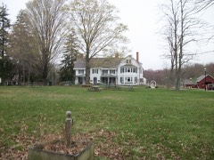
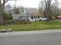
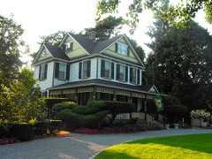
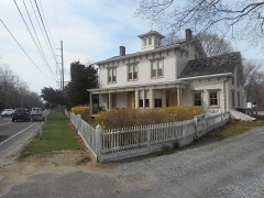
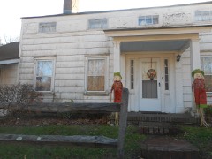
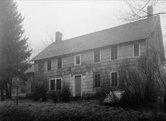
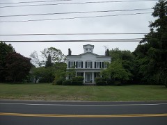
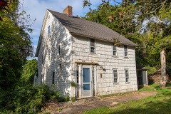
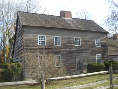
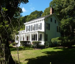
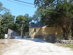
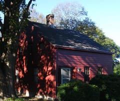
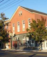
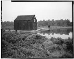
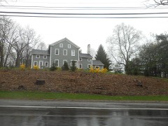
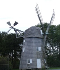
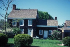
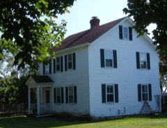
Every property in this county listed on the National Register of Historic Places, with the year it was listed and the federal nomination document.
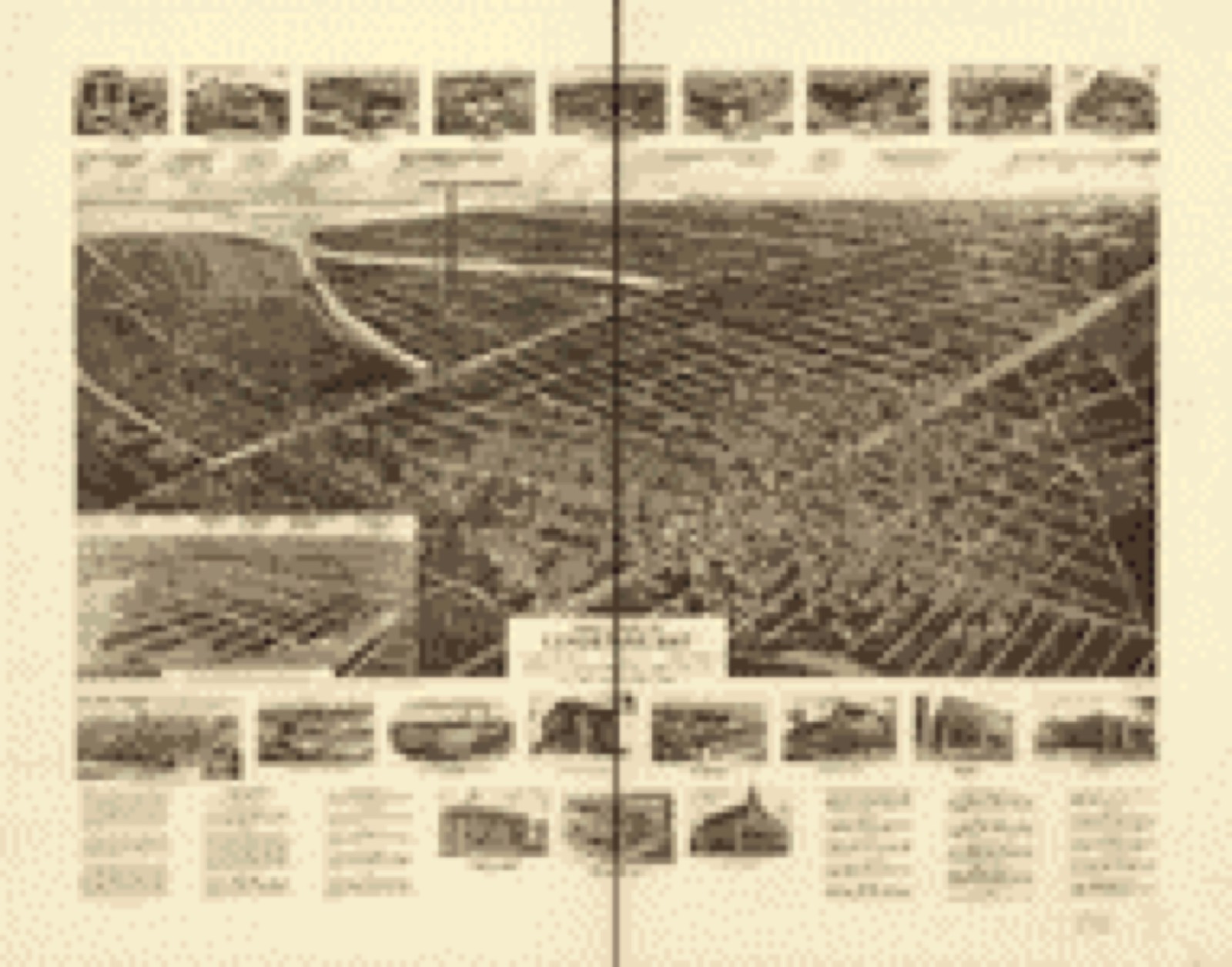
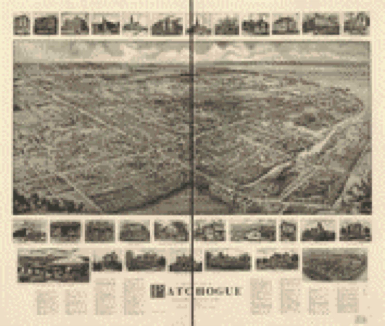
Drawn when these were printed as single large sheets: the town seen from the air, and the county divided into its farms with every owner named. Each opens the original at the Library of Congress.

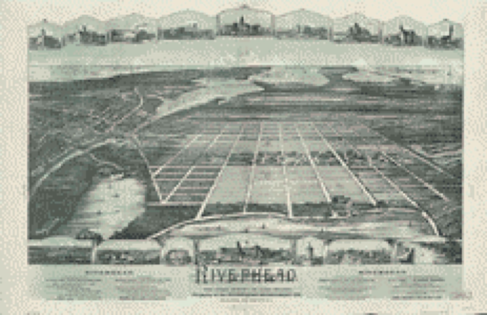
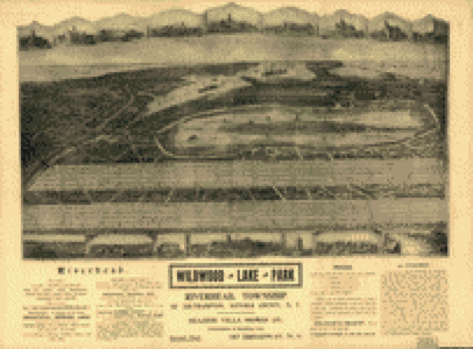
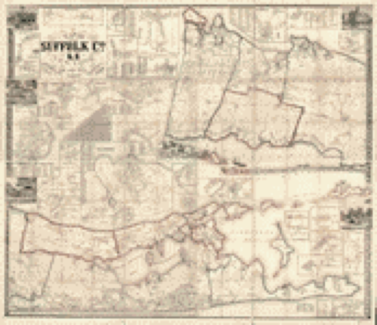
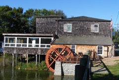
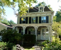
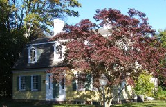
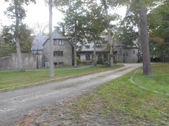
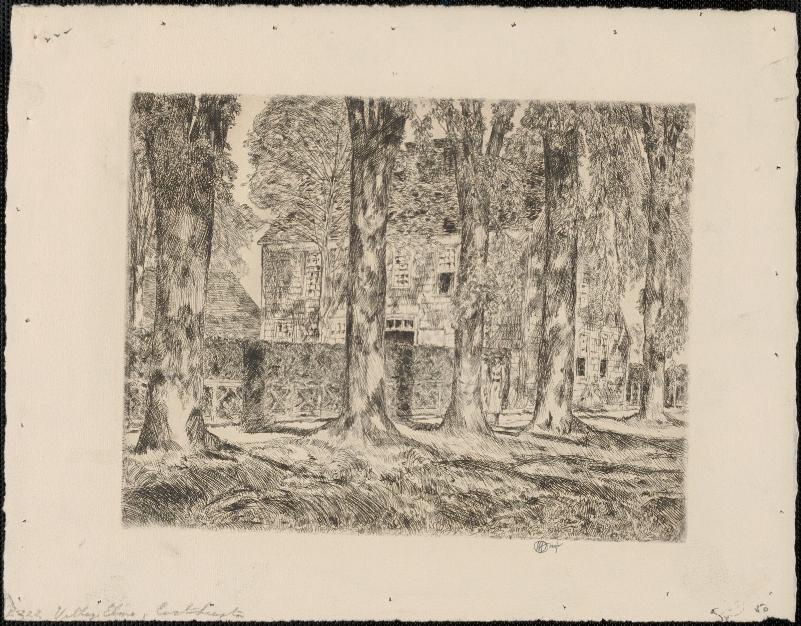
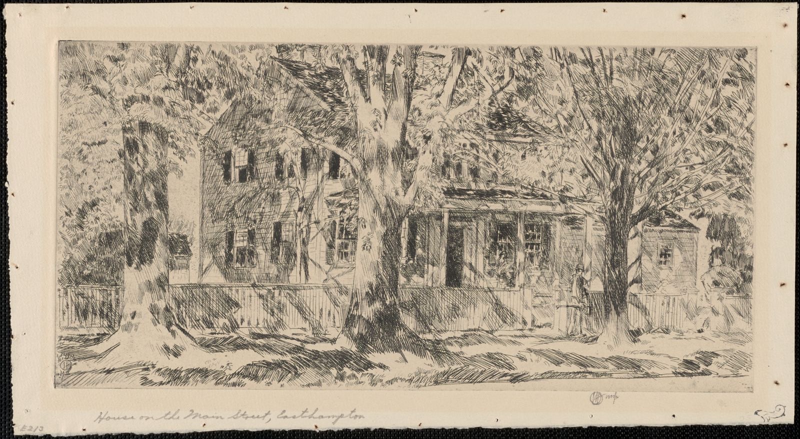
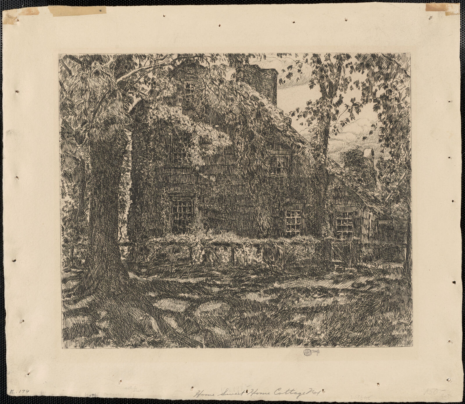
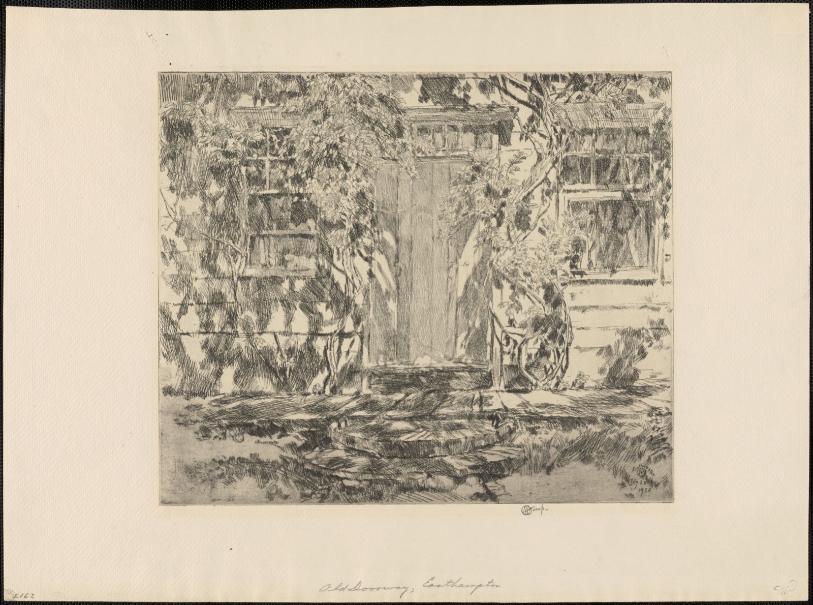
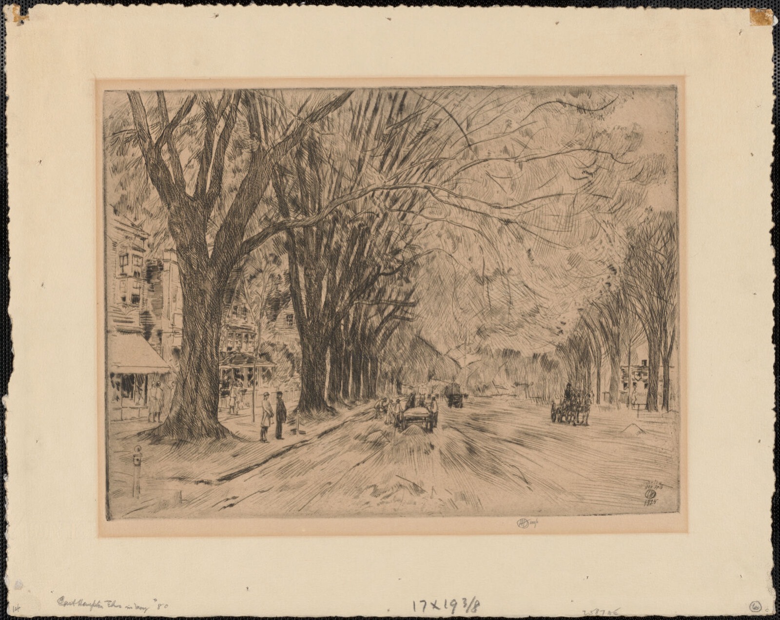
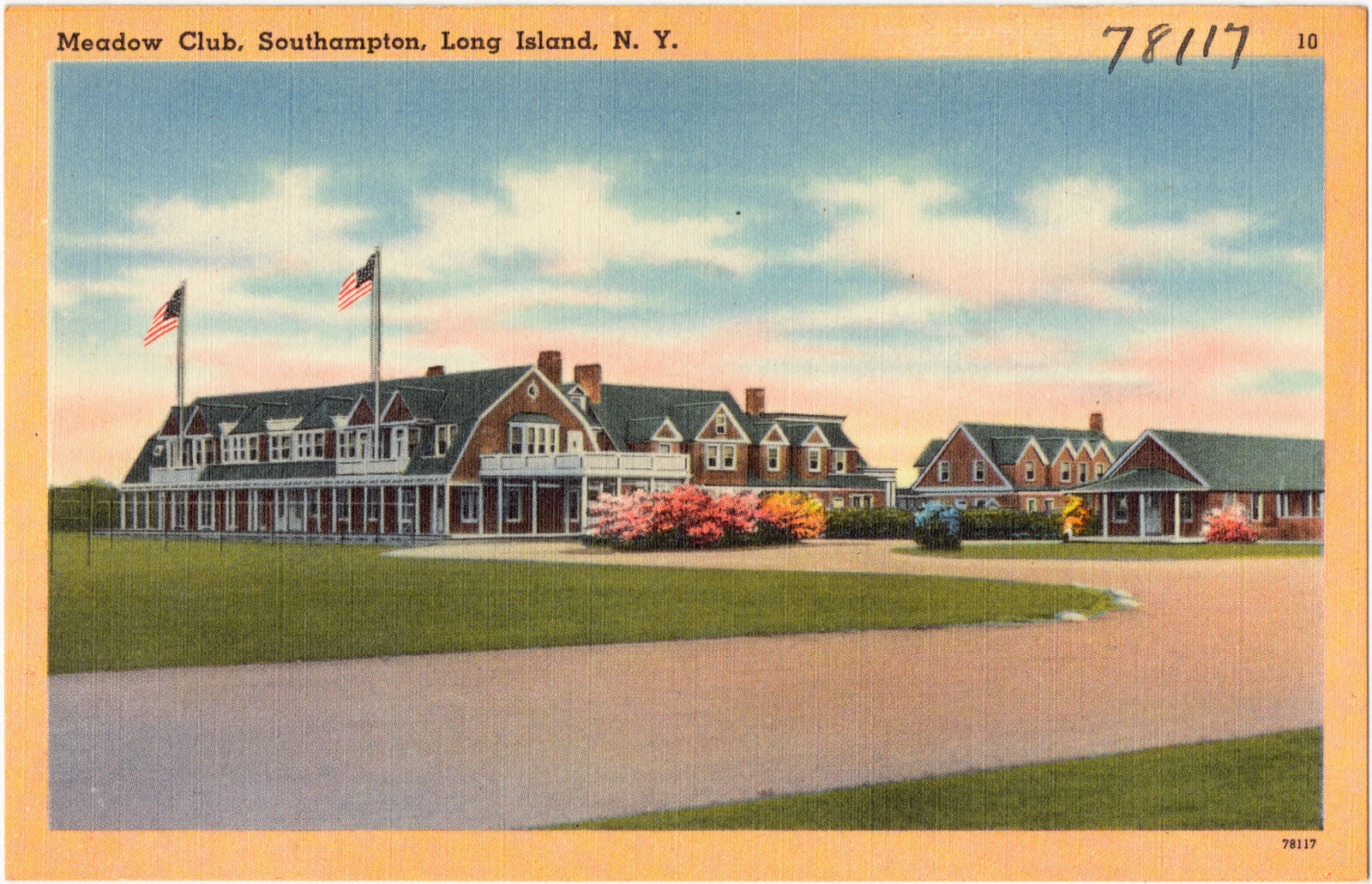
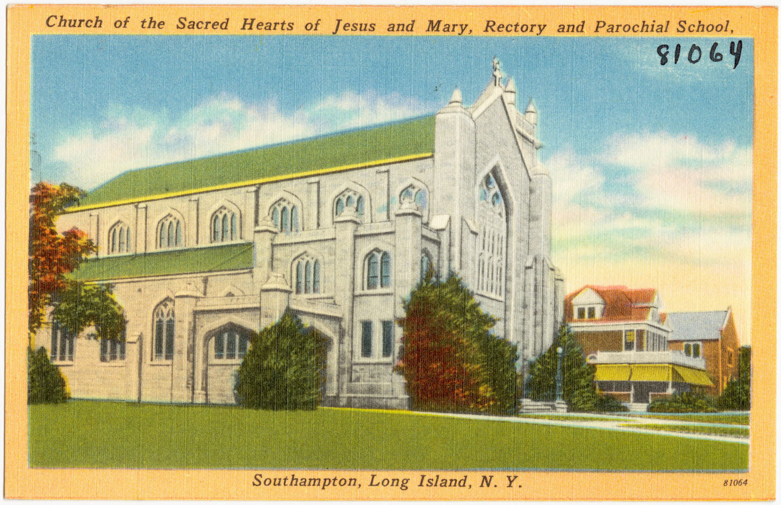
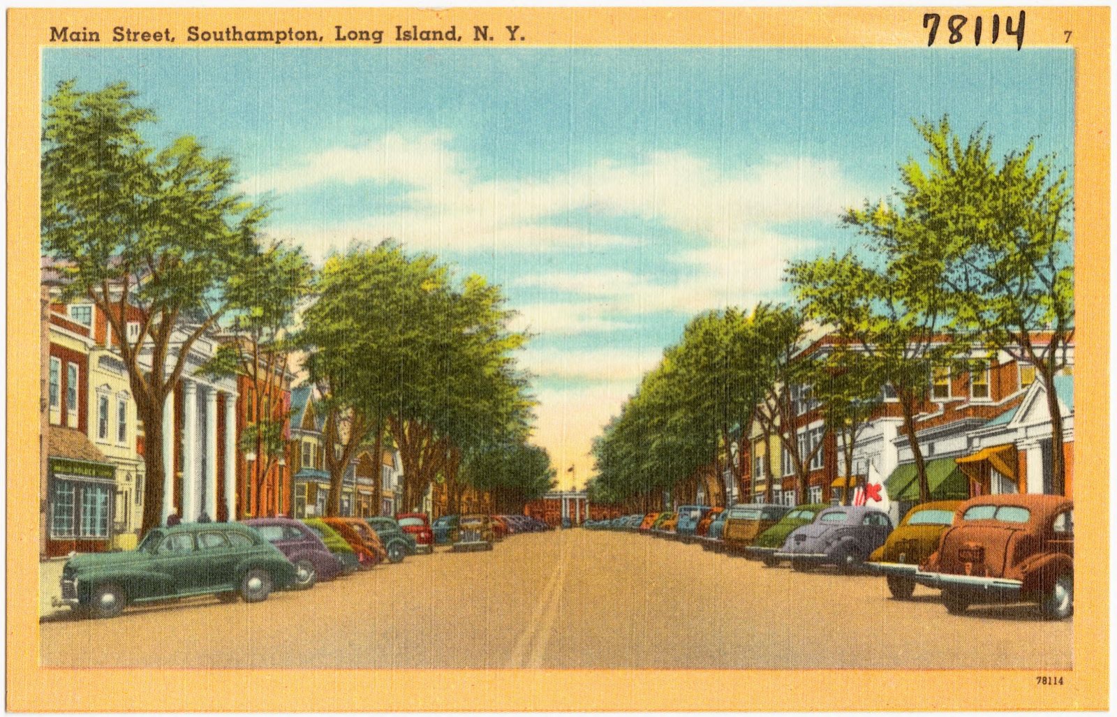
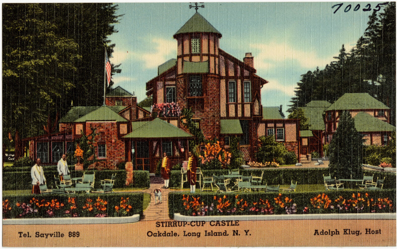
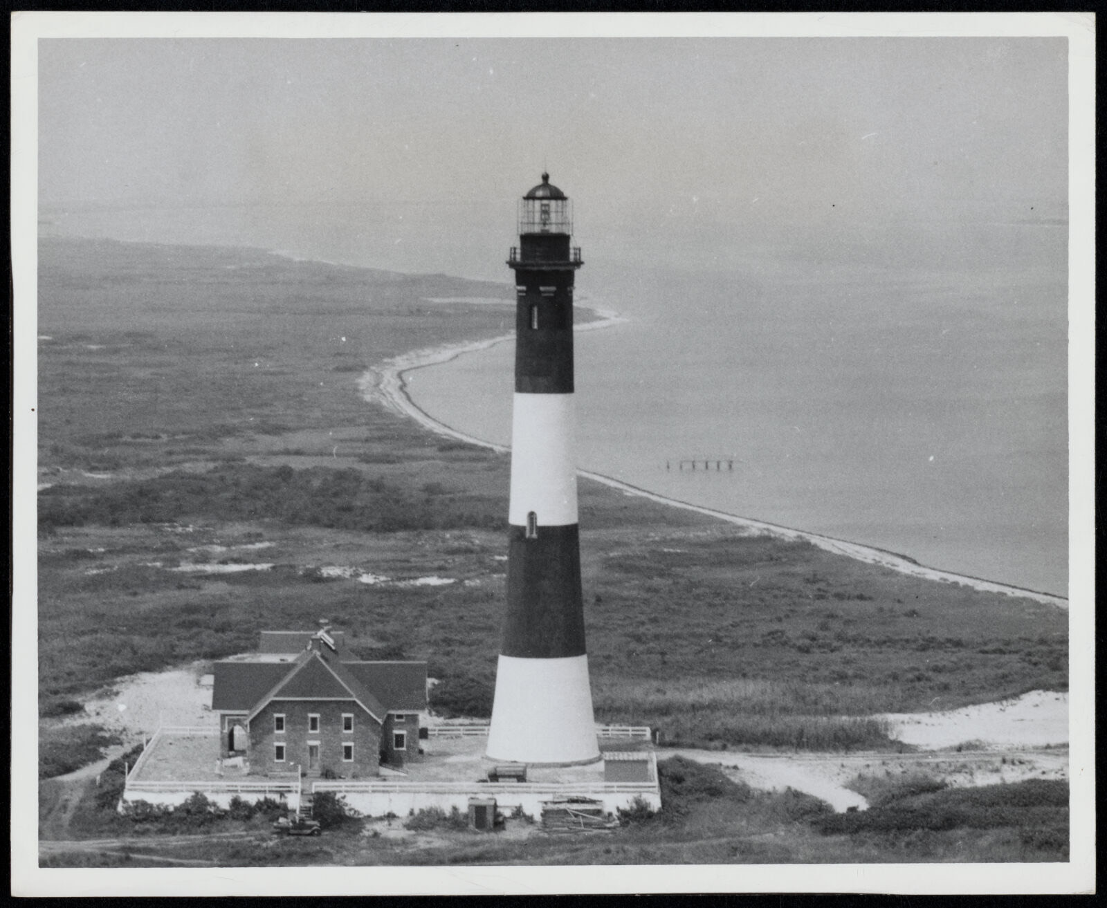
Selected from the Digital Public Library of America's 895 image records catalogued for this county. Every one shown here carries a public-domain status or a licence that permits reuse on a site that carries advertising; non-commercial, share-alike and restricted images are excluded. The selection is spread across the county's towns (at most eight per town), so no single institution's bulk upload crowds out the rest. Each opens the holding library's record, and the complete set at the Digital Public Library of America is one click away.





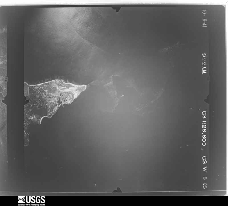
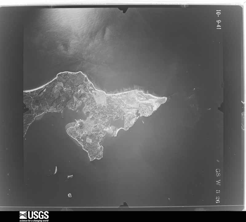
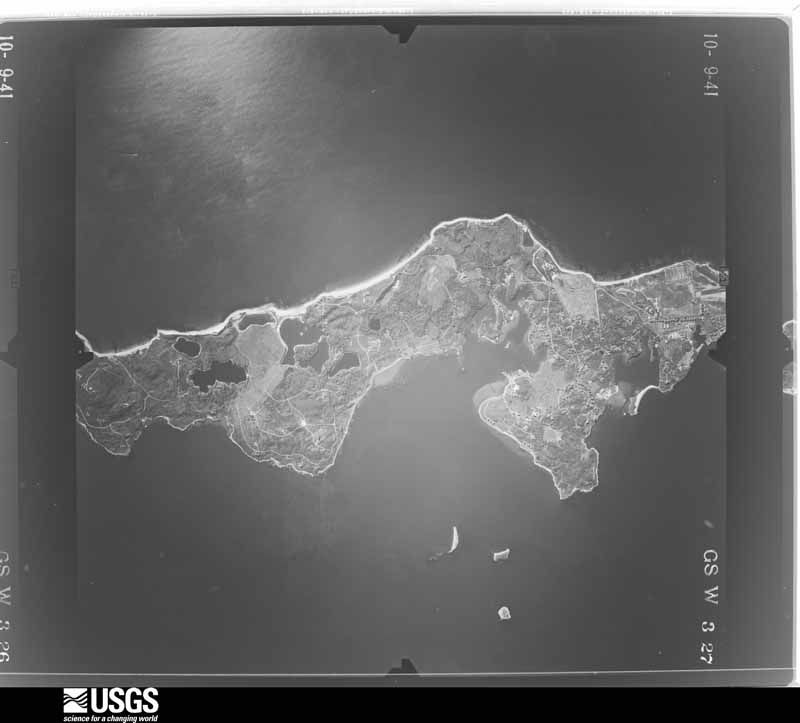
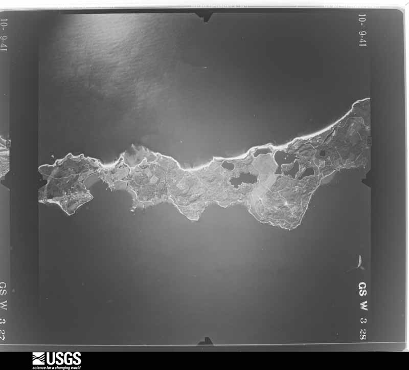
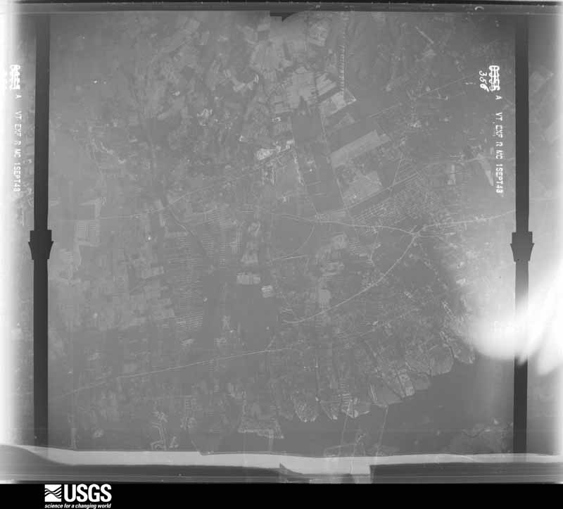
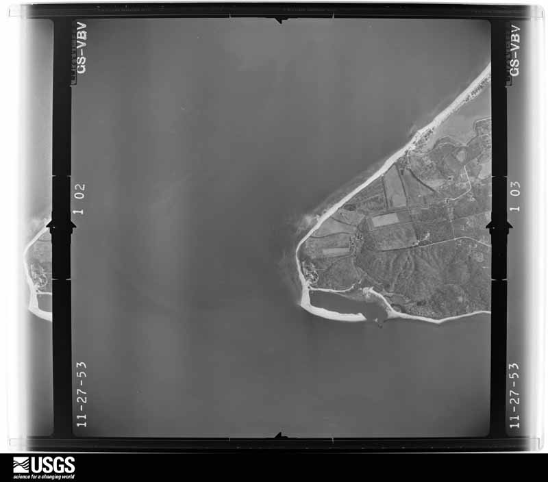
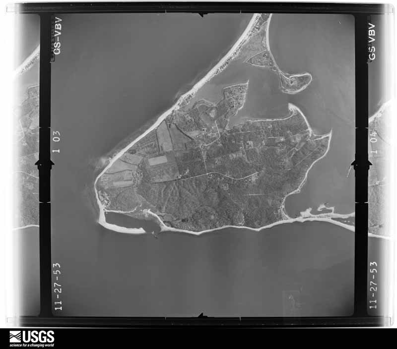
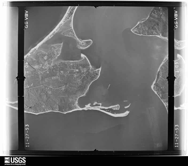
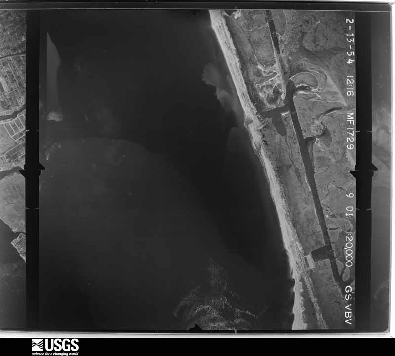
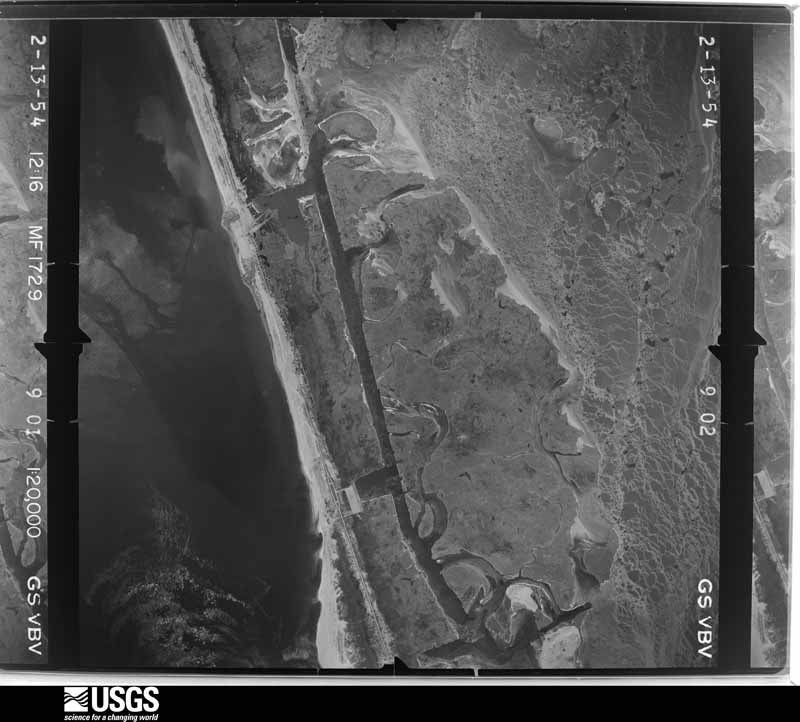
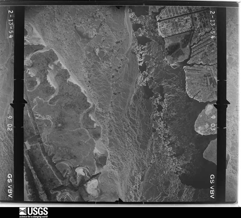
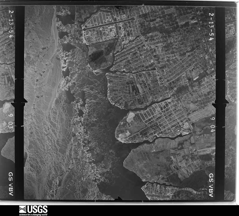
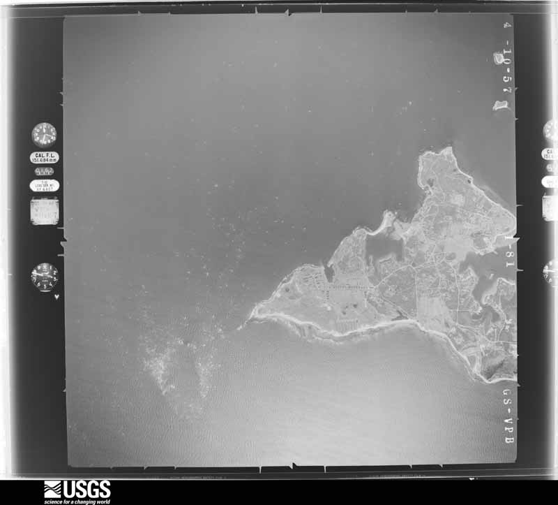
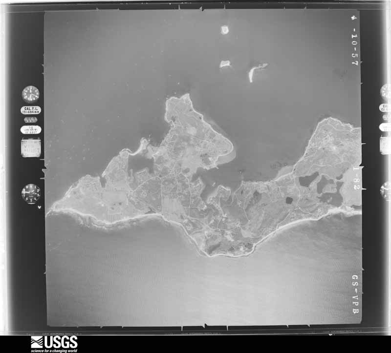
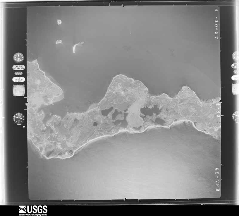
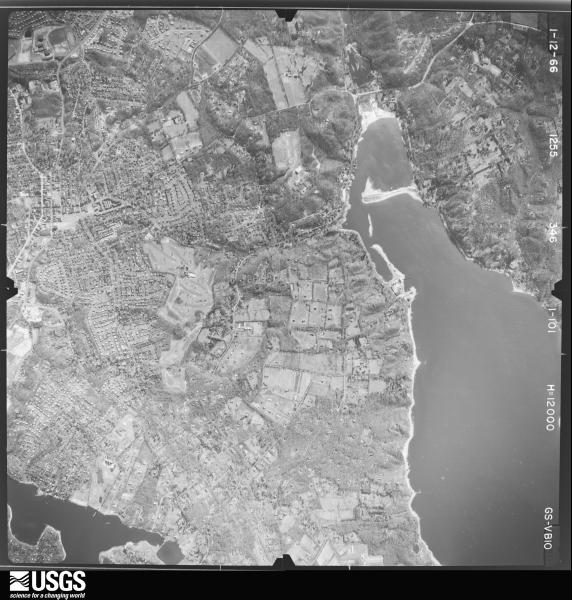
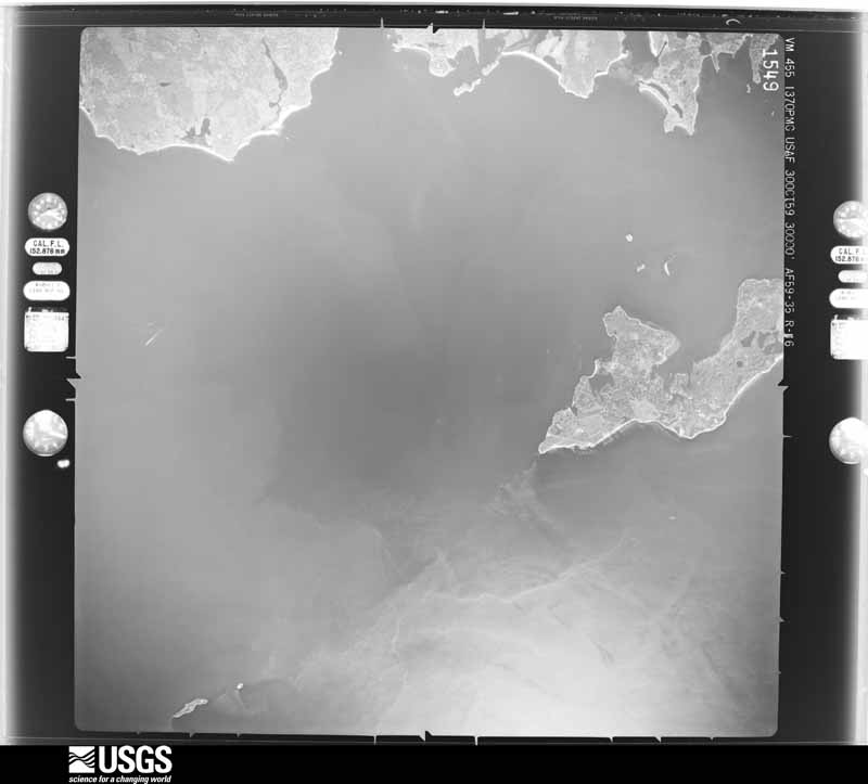
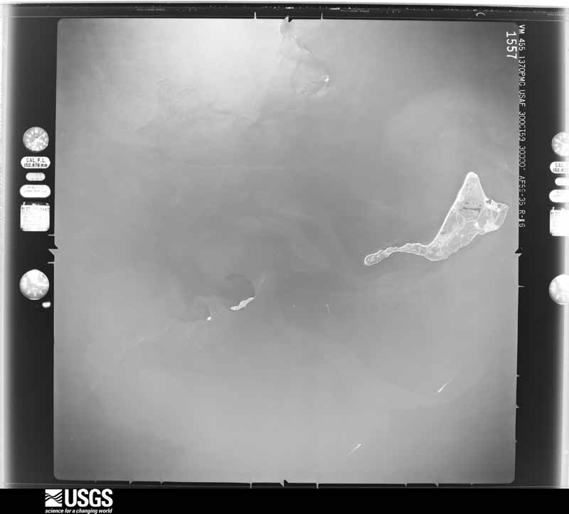
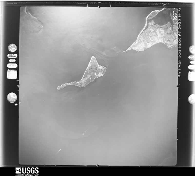
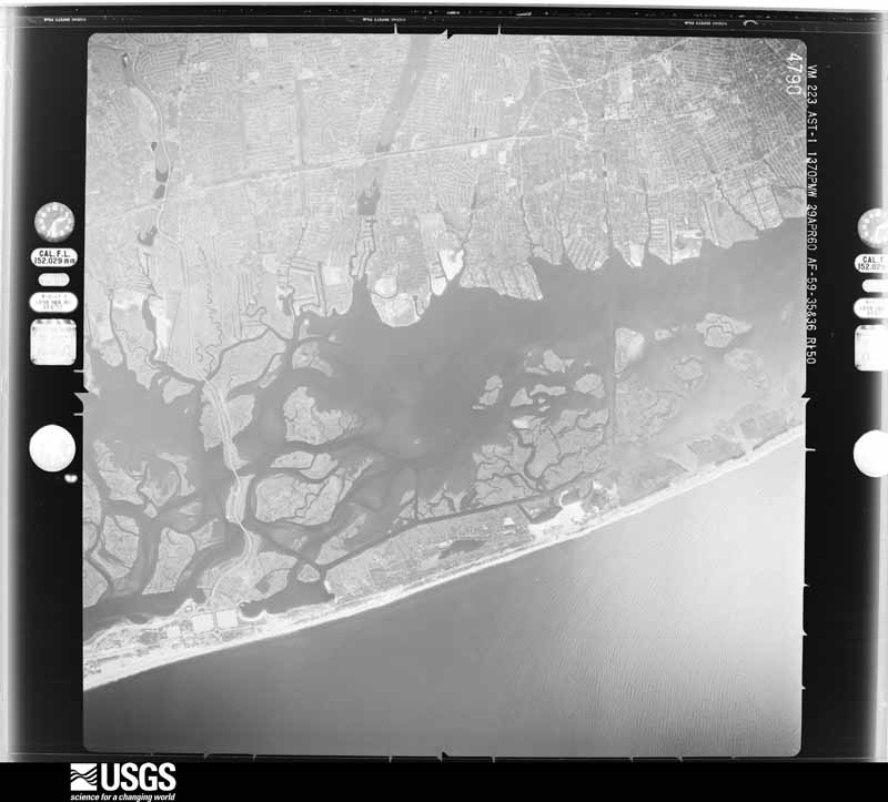
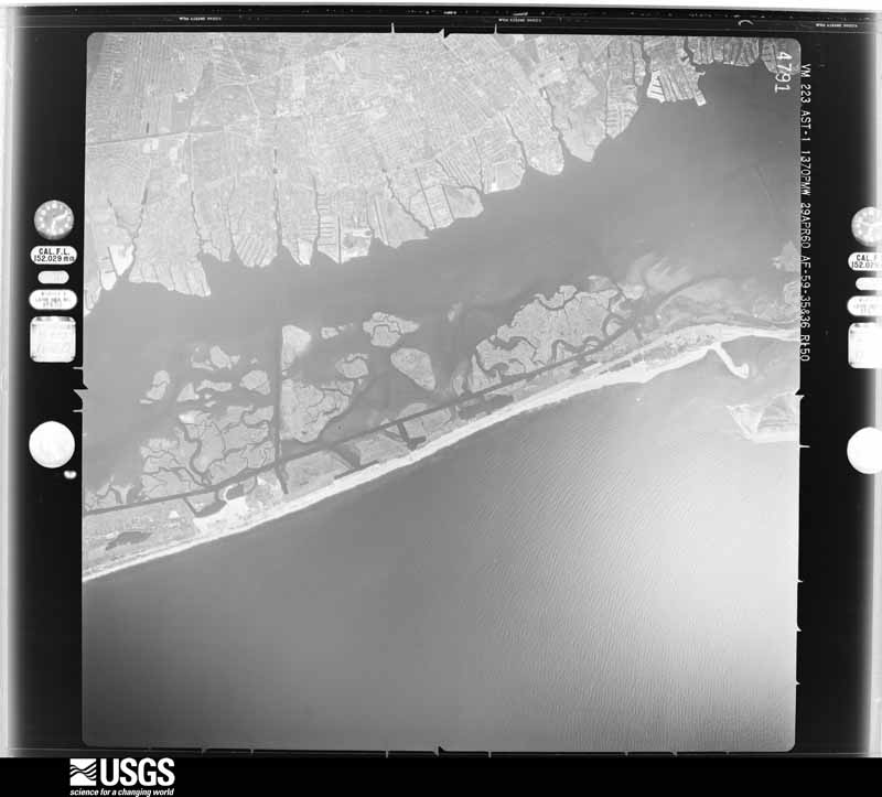
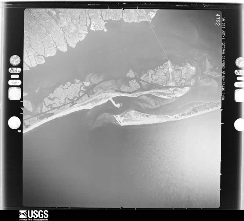
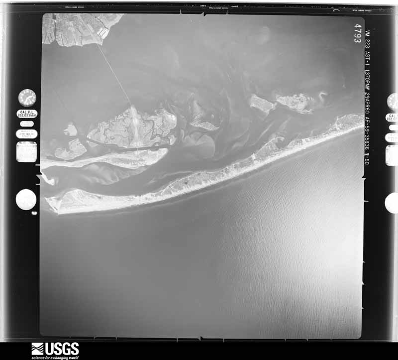
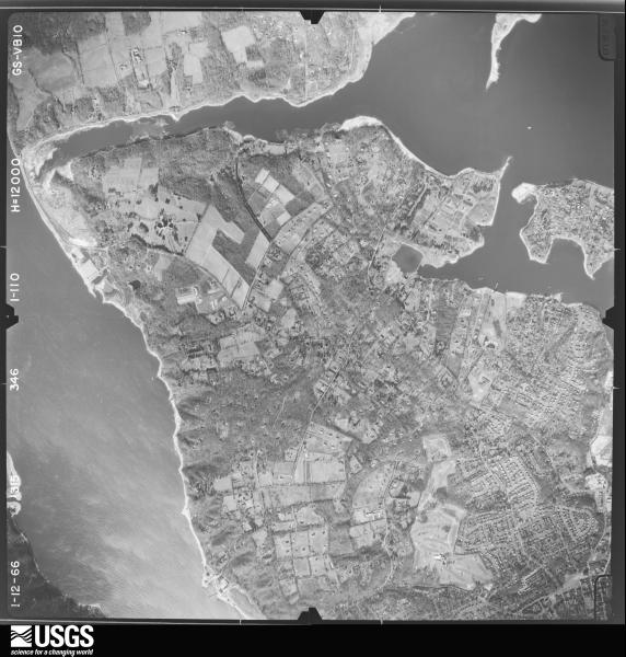
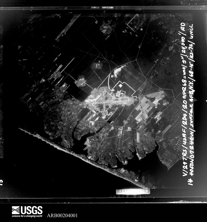
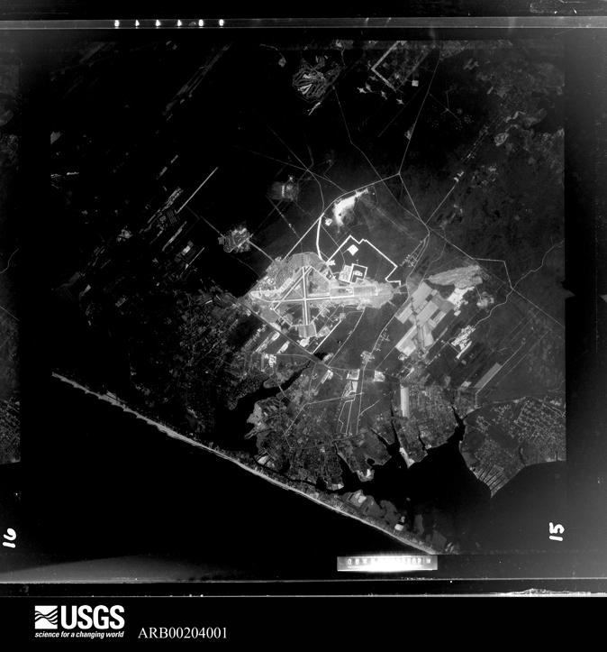
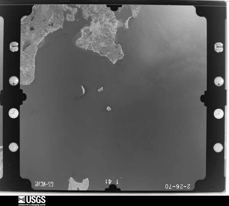
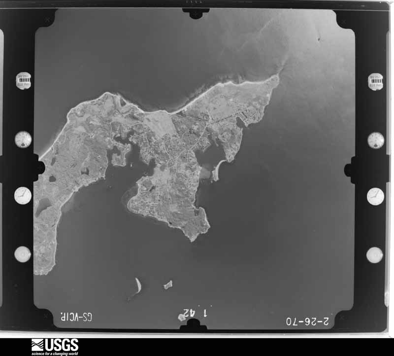
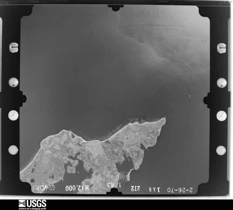
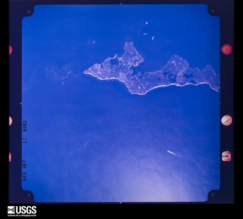
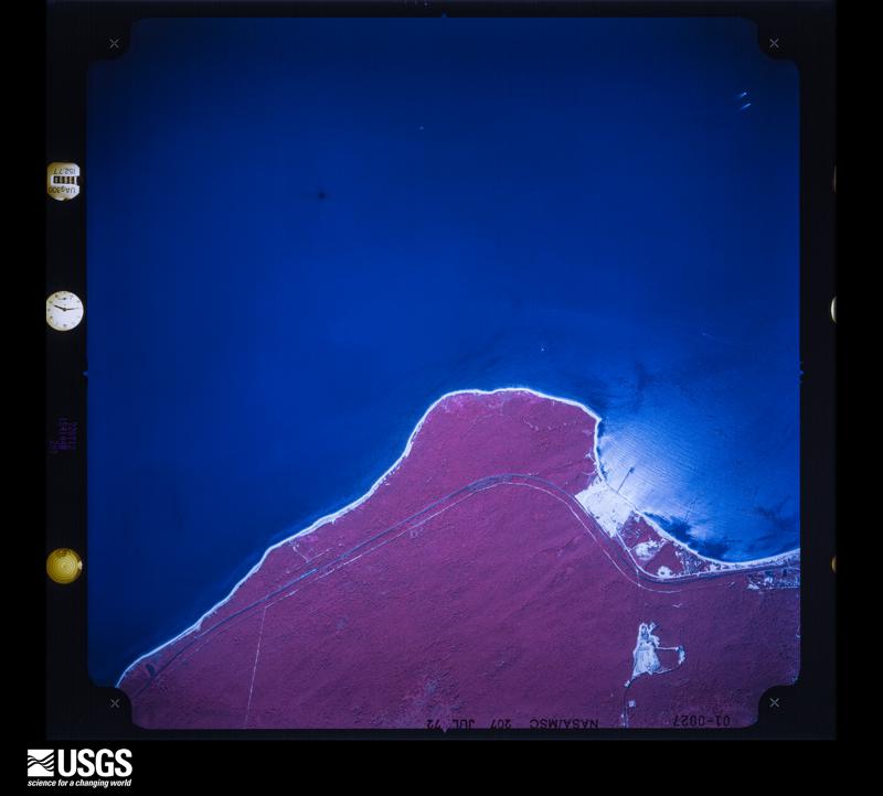
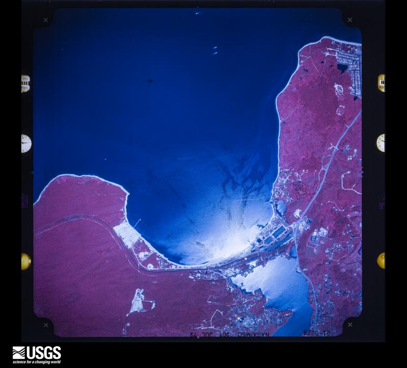
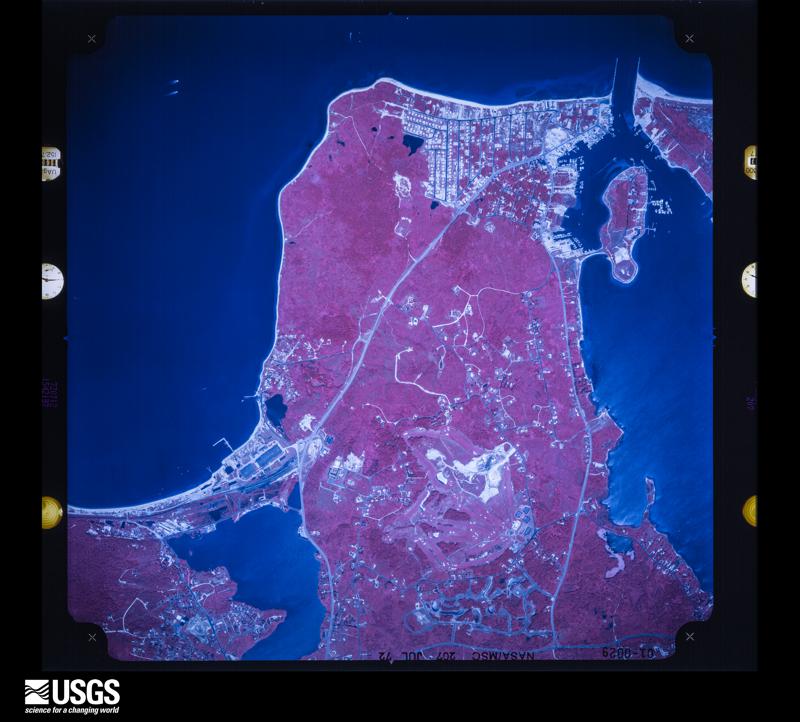
Flown by the U.S. Geological Survey between 1937 and 1989, the Aerial Photo Single Frames collection is the definitive mid-century view of the land: fields, roads and rivers as the camera saw them. The Survey holds 7,889 frames inside the rectangle that bounds this county; the 48 frames below were taken over the county itself, chosen across the decades of flights (at most four a year from that rectangle), so one flight cannot crowd out the rest. The full set is free to browse and download at EarthExplorer under the dataset Aerial Photo Single Frames.












The thermometers that kept this county's weather, and the gages that measured the flow of its streams, as the federal records hold them. The extremes below are measured values from those records, not estimates.
Who lived here in 1950, one enumeration district at a time, as the Census Bureau described each district. Each row opens its official National Archives result, with Population Schedules and ED Maps available there.
Every wildfire the federal occurrence database records inside this county: 9,084 of them, burning about 13,953 acres. 594 started naturally and 1,602 were recorded as arson. Each settlement page carries the fires within five miles of it.
| Reported cause | Fires |
|---|---|
| Missing data/not specified/undetermined | 5760 |
| Arson/incendiarism | 1602 |
| Natural | 594 |
| Smoking | 341 |
| Equipment and vehicle use | 250 |
| Debris and open burning | 217 |
| Misuse of fire by a minor | 108 |
| Recreation and ceremony | 89 |
| Power generation/transmission/distribution | 78 |
| Railroad operations and maintenance | 32 |
| Fireworks | 8 |
| Other causes | 5 |
The five largest, by the area the report gives. 7 of them were set deliberately.
| Date | Cause | Size | Reported by | Name on the report |
|---|---|---|---|---|
| 24 August 1995 | Arson/incendiarism | 5,050 acres | New York Forest Rangers | not named |
| 21 August 1995 | Equipment and vehicle use | 1,000 acres | New York Forest Rangers | not named |
| 9 April 2012 | Arson/incendiarism | 992 acres | New York Forest Rangers | CRESCENT BOW FIRE. |
| 3 May 1992 | Arson/incendiarism | 250 acres | New York Forest Rangers | not named |
| 7 May 1995 | Arson/incendiarism | 152 acres | New York Forest Rangers | not named |
| 10 May 2002 | Arson/incendiarism | 125 acres | New York Forest Rangers | not named |
| 27 July 1998 | Arson/incendiarism | 100 acres | New York Forest Rangers | not named |
| 14 April 1999 | Arson/incendiarism | 100 acres | New York Forest Rangers | not named |
Every settlement page carries the fires within five miles of it - see the settlement index below.
The NOAA Storm Events Database holds 867 reports for this county, causing 8 deaths, 54 injuries and about $57,158,730 in recorded property damage. Each settlement page carries the reports that name it.
| Kind of event | Reports |
|---|---|
| Thunderstorm Wind | 398 |
| Flash Flood | 234 |
| Hail | 107 |
| Lightning | 36 |
| Tornado | 32 |
| Heavy Rain | 28 |
| Flood | 17 |
| Funnel Cloud | 6 |
| Winter Weather | 3 |
| Rip Current | 3 |
| Coastal Flood | 2 |
| Dust Devil | 1 |
The most serious of them, by death, then injury, then recorded damage. The accounts are quoted exactly as the forecast office filed them.
| When | Event | Place named | Harm | What the report says |
|---|---|---|---|---|
| August 2002 | Rip Current | Montauk | 2 killed | no account filed |
| January 1997 | Winter Weather | Countywide | 1 killed, 24 hurt | no account filed |
| September 1998 | Thunderstorm Wind | West Babylon | 1 killed, 2 hurt | no account filed |
| December 1996 | Winter Weather | Countywide | 1 killed, 1 hurt | no account filed |
| August 2018 | Lightning | San Remo | 1 killed | A person struck by lightning sheltering under a tree at Sunken Meadow Park resulting in one fatality. |
| July 2004 | Rip Current | East Quogue | 1 killed | A persistent south to southwest wind helped to generate rough seas on the ocean on Tuesday the 20th. These rough seas acted to help produce rip currents along the South Shore of Long Island. A 12-year old boy swimming in the surf at Dolphin Beach in East Quogue was caught in a rip current Tuesday evening. The boy was not able to swim out of it...and unfortunately he drowned. His brother was swimming in the general area as well...and was rescued. |
| April 2002 | Rip Current | Bayport | 1 killed | no account filed |
| July 1997 | Thunderstorm Wind | Babylon | 5 hurt | no account filed |
| March 2000 | Thunderstorm Wind | Southampton | 4 hurt | no account filed |
| June 1998 | Lightning | East Hampton | 4 hurt | no account filed |
| July 2010 | Lightning | Remsenburg | 2 hurt | Two men, ages 73 and 75, were struck by lightning at Cupsogue Beach near the Village of West Hampton Dunes. |
| August 1999 | Tornado (F2) | Mattituck | 1 hurt, $1,000,000 | no account filed |
| June 2019 | Lightning | Amityville | 1 hurt, $6,000 | Lightning struck a man and the home. |
| June 2010 | Thunderstorm Wind | Lindenhurst | 1 hurt, $500 | A large tree limb fell on a 7 year old boy in Lindenhurst, causing a head injury. |
| June 2019 | Lightning | Northport | 1 hurt | Person was struck by lightning on Ocean Avenue in the village of Northport. The person had minor injuries. |
| July 2012 | Lightning | Middle Is | 1 hurt | An 18 year old man received a shock inside his house after it was struck by lightning. |
| October 2010 | Lightning | Lake Ronkonkoma | 1 hurt | A man was reported to have been struck by lightning while walking to his car. |
| July 2006 | Lightning | Shoreham | 1 hurt | Lightning struck a 29-year-old woman while she was sitting with her family at Shoreham Town Beach. Her husband successfully performed CPR and revived her. |
| July 2006 | Lightning | Bellport | 1 hurt | A 34-year-old man was struck by lightning while erecting a fence at Frank P. Long Intermediate School. |
| May 2002 | Lightning | Port Jefferson | 1 hurt | As a line of thunderstorms moved southeast, lightning struck a house. A fire ignited that caused some damage and one person in the house suffered minor injuries. |
| June 2000 | Thunderstorm Wind | Stony Brook | 1 hurt | no account filed |
| January 1997 | Winter Weather | Countywide | 1 hurt | no account filed |
| July 1989 | Tornado (F2) | not stated | 1 hurt | no account filed |
| August 2014 | Flash Flood | Pine Aire | $35,200,000 | The Sagtikos Parkway southbound was closed at Exit S2, Crooked Hill Rd., in Brentwood due to flooding. Storm total rainfall amounts reported in Suffolk County ranged from 0.14 inches in Montauk to 13.27 inches at Islip/MacArthur Airport with a 24 hour rainfall record of 13.78 inches at MacArthur Airport which broke the New York State record. Damage amounts are validated costs of damage assessment inspections of municipal property, $11.7 million, and $23.5 million for small business administration loans as a result of the FEMA private property and business damage assessment. This information was provided by the Suffolk County Office of Emergency Management. |
| October 2005 | Flash Flood | Countywide | $11,000,000 | no account filed |
| September 2021 | Flash Flood | Lloyd Harbor | $3,230,000 | Flash flooding resulted in an estimated $3,234,712 in damages across Suffolk County. This estimate is based on FEMA grant money awarded under the Individuals and Household Program (IHP), which includes funds for both housing assistance and other needs. |
| November 2021 | Tornado (EF1) | South Haven | $900,000 | A National Weather Service Storm Survey Team confirmed an EF1 tornado in Shirely, NY. A tornado likely touched down just southwest of Francine Place and Mastic Blvd, travelling east northeast along the Long Island Railroad tracks and adjacent backyards. |Numerous oak, maple, and pine trees were uprooted and laying in a northerly direction. Several trees were also snapped at the trunk or had large branches sheared off along this path. In addition, minor roof and siding damage was observed for several houses, as well as leaf splatter on south and east sides. The damage swath at this point was only about 25 yards wind. The tornado then hooked northeast over the Lidl Supermarket (Southwestern corner of the Shopping Center Complex), |flipping over a 5 Ton air handler unit on the roof, before tearing off the parapet and collapsing the covered walkway of the Chiptole Mexican Grill on the northeast corner of the Shopping Center. The damage path remained about 25 yards, but damage was consistent with EF1 winds of 95 to 105 mph.||Public video showed the apparent tornadic circulation lifting northeast across the intersection of William Floyd Parkway and Montauk Highway towards the Applebee's Shopping Center, with debris being thrown in one direction then another. Siding and Shingles from the Chiptole were thrown northeast about 250 yards across this |intersection and into The Applebee's Shopping Center. Other than the debris, some small trees were uprooted in the parking lot and laying to the northeast and flashing was ripped off the south side of the Applebee's and unoccupied adjacent retail store. The tornadic circulation may have briefly lifted at this point, with about a 50 yd. swath of 65 to 75 mph straight line winds across this shopping center. ||The tornadic circulation then touched down once again to the northeast of the Applebee's Shopping Center lifting the entire roof off a 2 story multi family residence on the corner of Grand Avenue and McGraw Street. The roof was tossed as far as 150 yards to the north, into the backyard of neighboring houses to the north on Grand Avenue. One section of this roof, actually impaled itself into the side of the neighboring house to the north, and made such a strong impact that it skewed the vertical structure of that house. Based on the extent of structural damage to these houses, and adjacent 50 yd. swath of uprooted, snapped or sheared large trees, this damage was consistent |with EF1 winds of around 100 mph. The tornado strength likely peaked at this point. The entirety of the EF1 Tornadic damage path to the southwest and northeast of Montauk High was around 1/4 mile.||The tornado would then make its way north across Sunrise Highway, skipping its way northeast for the next 4 1/2 miles, with areas of damage consistent with an EF0. On its path it continued northeast through Brookhaven Calabro Airport, flipping over or shift a few small single engine planes, thereafter it moved northeast through Pancho Drive, Titmus Drive, Abbott Avenue, and Burney Blvd just to the east northeast of the airport. Several large trees were uprooted, trunks snapped or branches sheared in an approximately 50 yd. path, with accompanying minor roof, siding and fencing damage in this area. The tornado likely skipped north to the intersection of Barnes Roads and Moriches-Middle Island Road with a small area of additional tree damage, before making a final nearly mile long and 50 yd. wide tornado damage path northeast across Pine Hills Golf Course, and then through the neighborhoods of Foreston Circle, Eagle Lane, Nestledown Avenue, Wading River Road, Tupelo Street and then across to the intersection of Silas Woods Road and South Street before finally lifting. Several dozens of large hard and soft wood trees were uprooted and laying in a Northerly or Northeast |direction, as compared to the east northeast direction of storm movement. In addition, numerous tree tops were completely sheared to stubs and tree trunks snapped. Minor roof and siding damage was observed for numerous houses along this path, with several fences and chimneys destroyed. A large north / south facing camper on Tupelo Drive as rolled westward on its side. The described one mile long, 50 yd. wide convergent tornadic damage pattern was consistent with an EF1 tornado with 85 to 95 |mph winds and was flanked to the southeast by a 500 yd. path of scattered tree and powerline damage and minor structural damage consistent with 65 to 75 mph southwesterly straight line winds. |
| April 2009 | Lightning | Sagaponack | $800,000 | A home in Water Mill was destroyed by fire following a lightning strike to the home. There were no injuries or fatalities. It is estimated that 99 percent of the family's belongings were lost due to the fire. |
| August 2024 | Flash Flood | Stony Brook | $500,000 | Harbor Road collapsed due Mill Pond overflowing. Local fire department began precautionary evacuations of nearby homes. |
| November 2021 | Tornado (EF0) | East Islip | $500,000 | Survey team confirmed an EF0 tornado in East Islip, NY, a narrow tornado of 50 yard width likely touched down at the southwestern end of Hollins Lane, and then continued northeast over Brushwood Court, Bayview Avenue, and Josephine Lane, and then finally over Kay Court, before lifting over the John F. Kennedy Elementary School sport fields. A few dozen large oak, maple, and pine trees were uprooted and laying in east or northeast direction. Several trees were also snapped at the trunk or had large branches sheared off along this path. In addition, minor roof and siding damage was observed for several houses, as well as leaf splater on south and east sides of several houses. This tornadic circulation was likely on the northwest side of a 400 yd. swath of 65 to 75 mph west to southwest straight line winds causing isolated large trees to be uprooted and several large limbs broken.||As mentioned, the tornado likely lifted over the John F. Kennedy Elementary School sport fields, becoming a funnel cloud. This funnel cloud may have briefly touched down as a weak tornado in the Frog Lane and Jade Street area of Oakdale, resulting in a very large, but partially rotted oak tree to topple onto and destroy a home. The funnel cloud was videotaped by the public, looking southwest from the Old Navy Department store on Johnson Avenue (just north of Sunrise Highway), but no further damage was noted with this storm.||Based on radar velocity signatures and damage orientation in relation to the general northeast motion of the parent storm, this was determined to be tornado damage, with degree of damage indicating EF0 damage. |
| August 2016 | Lightning | Beixedon Estates | $500,000 | A house was struck by lighting on Wells Avenue in Southold, causing a fire which destroyed the house. |
| July 1995 | Tornado (F0) | N. Babylon | $500,000 | Strong thunderstorms moving across southeastern New York caused a variety of severe weather. Lightning, winds and heavy rains caused significant problems across the region. The severe thunderstorms also spawned a couple of tornadoes over Long Island. The first tornado skipped through the town of South Farmingdale, downing hundreds of trees and power lines. Many homes and cars were damaged before the tornado lifted back into the clouds. About 20 minutes later another weaker tornado touched down briefly in the town of North Babylon. A few trees were downed and some roofs were damaged. |
| November 2021 | Tornado (EF0) | Remsenburg | $300,000 | A National Weather Service Storm Survey Team in coordination with Suffolk County Fire Rescue and Emergency Services confirmed an EF0 Tornado in Remsenburg, NY to Westhampton, NY area. A narrow tornado of 35 yd. width likely touched down at the corner of Ring Neck Road and South Country Road and then continued northeast across Riverview and Crestview Drive, then continuing northeast over Brushy Neck Lane and Jagger Lane Court, up to the bend in Montauk Highway near East Ridge Court.|Several large hardwood trees were uprooted and laying in northeast direction along this path, snapped at the trunk or had large branches sheared, with collateral power line and power pole damage. Several smaller shrubs and young trees were also flattened to the ground. In addition, minor roof and siding damage was observed for several houses along this path. Thereafter the tornado likely skipped along continuing northeast across the cemetery at Station Road to the union of Hazelwood and Rodgers Avenue and South Perimeter Road, with the above describes damage being more intermittent.||The most extensive structural damage occurred at the end of the visible tornadic path at the Department of Public Works Salt Barn on South Perimeter Road on the south side|of Westhampton Gabreski Airport. The north facing reinforced cinder wall of the Salt Barn was blown out. Indications are the roof may have briefly lifted as south to southwest winds with the tornadic circulation blasted into the south facing opening, culminating in the north wall being blown out.||Based on radar velocity signatures and damage orientation in relation to the general northeast motion of the parent storm, the damage survey above is determined to be EF0 tornadic damage with winds of 70 to 85 mph. |
| November 2021 | Tornado (EF0) | West Tiana | $300,000 | A National Weather Service Storm Survey Team in coordination with Suffolk County Fire Rescue and Emergency Services confirmed an EF0 Tornado in the Hampton Bays to North Sea area of Suffolk County. A narrow tornado likely touched down near Tiana Circle, perhaps coming in as a waterspout off of Shinnecock Bay and downing several small pines in a northeasterly direction.||The tornadic circulation likely moved northeast across Smith Creek, with the magnitude of tree damage increasing as it touched down near Mill Race Road. From that point, a 35 yd. wide path of hardwood trees was observed to be either uprooted and laying in a |northeast direction, snapped at the trunk, or having large branches sheared off, continuing northeast through Columbia Street and Washington Avenue, to Hudson Street and Sherman Avenue, and then up to Lynncliff Road and Palo Alto Drive. In addition, minor roof and siding damage was observed for a few houses along this path. This included a homeowner on Hudson Street reporting that a screen door was pulled off the rear of their home and tossed 50 yards northeast of their home as well as a heavy wrought iron table and large gas grill picked up and pinned against their fence.|In addition, a homeowner on Lynncliff Road reported their roof shingles standing on edge as the tornadic circulation came through.||Thereafter, the tornadic circulation likely crossed the Eastern half of Shinnecock Bay, with an intermittent 35 yd. width path of mainly hardwood tree damage skipping along|Peconic Road and Montauk Highway, before likely crossing Shinnecock Hills Golf Course|and a heavily wooded area to the northeast. The tornadic circulation likely dissipated after producing tree damage on Marys Lane, east of North Sea Rd. in North Sea. No visible damage was noted or reported to the northeast of this location, including the Southampton Youth Sports Center.||Based on radar velocity signatures and damage orientation in relation to the general northeast motion of the parent storm, the damage survey above is determined to be EF0 Tornadic damage with winds of 70 to 85 mph. |
| August 1981 | Tornado (F1) | not stated | $250,000 | no account filed |
| August 2024 | Flash Flood | Village Of The Branc | $100,000 | Multiple homes with basement flooding across NW Suffolk County within the cities of Commack, Smithtown, St James, Centereach, Setauket, Selden, Coram, Port Jefferson, and Rocky Point. |
| September 2022 | Tornado (EF0) | Laurel | $100,000 | A National Weather Service storm survey team, in |coordination with Suffolk County Fire Rescue and Emergency |Services has confirmed an EF0 tornado in the Mattituck area of|Suffolk County NY.||Based on analysis of the storm survey findings and OKX dual pol |radar reflectivity, velocity and derived data (including a |tornadic debris signature), it was determined that an EF0 tornado|first touched down at Juniper Hill farms around 1117 pm, damaging|a greenhouse and downing a couple of large trees on the property.||The tornadic circulation likely lifted or skipped along as it|tracked east northeast across a one mile stretch of remote wooded|area, before touching down and shearing several tree tops and|large limbs in the vicinity of Cottage Way, Walnut Place, and |Lipco Road, between Sound Avenue and Old Sound Avenue. Peripheral |straight line wind damage to a large tree was noted near Shirley |Road and Horton Avenue to the north of Sound Avenue as well.||The tornadic circulation likely skipped east northeast in the|vicinity of Old Sound Avenue/Main Street over Love Lane and|Wickham Avenue with spotty tree damage noted, before definitively|touching down once again between Wickham Ave and Mary's Road to |the north of Pike Street, with a large maple tree sheared a few |feet from its base, minor siding and roof damage, and leaf |splatter on the west and south sides of homes. This most |prominent damage path, about 50 to 75 yards in width, continued |across Mary's Road, where 3 evergreen trees were snapped at their |base in a convergent pattern (the 2 southernmost trees laying in a|northeast direction and the northernmost tree laying in a |southeast direction). The tornado continued eastward across the |Mattituck-Cutchogue Jr/Sr high school track, twisting and damaging|a large scoreboard, overturning metals benches, and laying down a|100 ft section of wind fence on the north side of the adjacent |tennis courts in a northerly direction (again consistent with a |convergent wind pattern). The tornado then continued east over the|high school, ripping up large sections of asphalt roofing |material over one of the main buildings. The damage across the |high school grounds was the most severe along the path, consistent|with tornadic winds of 75 to 85 mph.||The tornado then exited east over an area of homes on Village |Lane, causing significant tree and fence damage to several homes, |before likely lifting around 1120 pm as the rotating storm |continued eastward over the farm fields and vineyards that lay to|the east. No visible damage was noted to the east of this point, |marking the presumed end of the tornado path. |
| November 2021 | Tornado (EF0) | Hagerman | $100,000 | A National Weather Service Storm Survey team in coordination with|Suffolk County Fire and Rescue and Emergency Services confirmed an EF0 |Tornado in North Bellport, NY. A narrow tornado likely touched down in a forest |of pine trees to the south of Sunrise Highway, between Bellport Avenue and Martha Avenue Ballpark leaving a 35 yard northward tracking path of sheared tree limbs and snapped tree trunks towards Sunrise Highway.||Thereafter the tornado likely tracked northeast across Sunrise Highway heading towards The Brookhaven Landfill. In this process it flattened the Sunrise Highway Exit 56 sign, on the westbound side of Sunrise Highway just to the east of the station road off ramp. This approximate location corresponds to a public video showing a condensation funnel and considerable tree debris moving northeast across Sunrise Highway. ||The tornado likely tracked or skipped northeast across the landfill, before causing extensive roof damage and blowing out the north facing garage doors of the Brookhaven Recycling Center. The south side of the recycling center is always wide open, likely allowing for south to southwest winds around the tornadic circulation to|enter the building and cause the extensive roof and garage damage. This Recycling Center is located on the Northeast side of the landfill, which was the end of the visible tornadic path.||Based on radar velocity signatures and damage orientation in relation to the general northeast motion of the parent storm, the damage survey above is determined to be EF0 tornadic damage with winds of 70 to 85 mph. |
| October 2018 | Tornado (EF0) | Ronkonkoma | $100,000 | A National Weather Service Storm Survey of damage in the Hamlet of Ronkonkoma New York was conducted in conjunction with the Town of Islip. Based on the results of this survey and NWS Doppler Radar data the following information has been determined. The tornado originated just north of the western end of Seneca Street and ended about one-eighth of a mile east of the intersection of Mohican Avenue and Seneca Street. The damage was confined to between Iroquois and Ontario streets along Mohican Avenue. Numerous homes sustained damage to siding and gutters and outdoor furniture. Trees have visibly sheared tops, and at least two or three trees were downed on cars. This damage is consistent with maximum wind speeds of around 85 mph, making this an EF-0 tornado. The tornado had a maximum path width of around 200 yards and was on the ground continuously for around 400 yards. |
| August 2012 | Tornado (EF0) | Great River | $100,000 | The National Weather Service conducted a storm survey in south central Suffolk County, New York. Based on this survey, the tornado touched down on Widgeon Court in Great River, and tracked north-northeast to where it lifted near the intersection of Ocean Avenue and Gary Way Road in Ronkonkoma.||The track went through Oakdale, Connequot River State Park, Bohemia County Park, and Bohemia in between touch down and lifting. The most significant damage occurred between 8th Street and Feuereisen Avenue in Bohemia around 2:11 PM EDT. Multiple trees were uprooted and thrown onto power lines. Several homes were damaged due to fallen trees in Oakdale and Bohemia. There were several eyewitness reports of the tornado moving north-northeast near the east bank of the Connequot River and in Bohemia as well. |
| July 2008 | Lightning | Halesite | $100,000 | A lightning strike resulted in a major house fire in Huntington. All family members escaped unharmed. |
| February 1998 | Lightning | Ridge | $100,000 | no account filed |
| September 2019 | Tornado (EF0) | South Manor | $75,000 | A severe thunderstorm moving northeast over Mastic/Shirley and |then into Manorville in southeast Suffolk County produced an EF0 |tornado. The tornado first touched down on Dayton Street, about |400 yards south of the intersection of South Street and Dayton |Avenue in Manorville. It sheared large tree limbs and the tops off|of dozens of oak, maple and pine trees, as well as uprooting at |least a dozen shallow rooted large trees. Several electric poles |were downed by falling trees on this block, with collateral tree |damage noted to a few houses in the neighborhood. The tornado |continued northeast through the south end of neighboring Rosewood |Street and then across its intersecting cross street of South |Street. Several more trees were uprooted, large limbs broken, or |tree tops sheared on this leg of its path. Facing houses on the |north and south side of South Street had widespread tree damage |and uprooting. A shed was destroyed in this location as well, |with damage to residences in the form of sporadic blown off |shingles and siding, missing storm screens, and a couple of broken|windows. The tornado then continued northeast through a wooded |area, where more tree damage was noted, before crossing the Long |Island Expressway near Exit 69 while lifting. The path of tree |damage and debris ended on the service road on the north side of |the LIE near the intersection with Wading River Road. |
| October 2018 | Tornado (EF1) | Fishers Is | $50,000 | The tornado began around one quarter of a mile east of |Wilderness Point on Wilderness Road. A circular house sustained minor |damage with glass shattered and blown nearby. A beam of the house was |lifted up a hill and dropped near another home. Several trees were |uprooted and snapped, and a shed was toppled over. A few trees were |downed at another home across the street in a convergent pattern, with |a small fence toppled over. This damage was consistent with an EF0 |tornado. The tornado continued moving to the northeast with EF0 damage |near a home on Isabella Beach Road. Many trees were uprooted and |snapped. One tree fell over and a piece of its trunk was forced several |feet into the ground. The EF0 tornado continued northeast along |Isabella Beach Road with a few trees and branches downed by the |intersection of Old Mallory Road. More significant damage occurred |about a tenth of a mile from the intersection of Old Mallory Road and |East End Road. Large hardwood trees were snapped, twisted, and sheared |off. Several trees were downed and uprooted. A large branch fell |through the roof of the garage on the property and another branch |caused minor damage to the back of the roof of the home. The damage at |this location was consistent with an EF1 tornado with estimated max |wind speeds of 90 mph. The tornado weakened to an EF0 as it continued |moving northeast. Several trees were snapped and uprooted near the |intersection of East End Road and Cedar Ridge. A small shed was also |toppled over. A few trees were downed about a tenth of a mile north of |the intersection of East End Road and Clay Point Road. This is where |the tornado moved off of Fishers island. |
| August 2011 | Lightning | Babylon | $50,000 | Lightning struck the Babylon Tower for the Long Island Railroad, causing extensive damage to the main and back up computer systems, as well as communication links to switches, resulting in extensive delays. |
| June 2008 | Thunderstorm Wind | Northport | $50,000 | At least 50 trees were reported downed in the area. |
| August 2019 | Thunderstorm Wind | Amityville Arpt | $30,000 | Partial building collapse onto multiple vehicles on Executive Boulevard. |
| August 2024 | Flash Flood | Smithtown | $25,000 | The Nissequogue River dam broke due to the flash flooding causing the entire Blydenburgh Pond to empty into the river. The river overflowed its banks, sending water into homes and nearby streets. Two residents were trapped in their homes and had to be rescued. |
| August 2016 | Lightning | East Marion | $25,000 | A house was struck by lightning on Bailey Avenue, between Knapp and Champlin Places, resulting in a fire. This was between Greenport and East Marion. |
| August 2016 | Lightning | Noyack | $25,000 | A house was struck by lightning on Poplar Street, between Noyac Road and Benard Place in Noyack, resulting in a fire. |
| August 2016 | Lightning | Sag Harbor | $25,000 | A house was struck by lightning on Union Street, between Madison and Division Streets in Sag Harbor, resulting in a fire. |
| August 2016 | Lightning | Amagansett | $25,000 | A house on the corner of Montauk Highway and Atlantic Avenue was struck by lightning, resulting in a fire. This was east of Amagansett. |
| August 2015 | Thunderstorm Wind | Belle Terre | $25,000 | Multiple trees were reported down on houses with roof damage, as well as power lines reported as down around the Port Jefferson Firehouse. |
| July 2010 | Thunderstorm Wind | Springs | $25,000 | Dozens of trees, including several large ones, and wires were reported down in the Hamlets of Springs and Northwest Harbor in the town of East Hampton. The hardest hit areas were from Woodbine Drive to Glade Road in Springs and Lafarge's Landing in Northwest Harbor. |
| August 2024 | Flash Flood | Selden | $20,000 | Basement flooding with 4 to 5 feet of water and rising on Evergreen Drive with the fire department responding. |
| August 2023 | Thunderstorm Wind | Hagerman | $20,000 | Multiple trees and large limbs down, some on cars, on Pine Neck Avenue in East Patchogue NY. |
| September 2022 | Thunderstorm Wind | Quogue | $20,000 | Numerous large trees down, including a very large Oak Tree split near its base along with a metal fence blown down behind tennis courts and outdoor scaffolding bent and blown down. |
| November 2021 | Thunderstorm Wind | East Islip | $20,000 | Large branches, trees, and power lines reported down. |
| November 2021 | Thunderstorm Wind | East Hampton | $20,000 | Numerous trees and power lines reported down. |
| September 2021 | Thunderstorm Wind | Eatons Neck | $20,000 | Numerous trees down, one large tree down into a home. |
The Survey's mineral resources record lists 34 workings inside this county. 17 still produce and 17 are closed or unrecorded. Each settlement page carries the workings within five miles of it.
| Commodity | Workings |
|---|---|
| Sand and Gravel, Construction | 32 |
| Titanium, Metal | 1 |
| Titanium | 1 |
The least common of them first, because a county's hundredth gravel pit says nothing its first ten did not.
| Where | Site | Commodity | Status | Recorded |
|---|---|---|---|---|
| Lawrence Aviation Industries Plant | Titanium | Unknown | ||
| Port Jefferson Station B Plant | Titanium, Metal | Plant | ||
| Bay Shore Pit | Sand and Gravel, Construction | Producer | ||
| Bay Shore Plant | Sand and Gravel, Construction | Past Producer | Sedimentary | |
| Bistrain Gravel Corporation Mine | Sand and Gravel, Construction | Producer | ||
| Bistrian Gravel Corp Sand Pit | Sand and Gravel, Construction | Past Producer | Sedimentary | |
| Brookhaven Aggregates Pit | Sand and Gravel, Construction | Producer | ||
| Brookhaven Pit and Mill | Sand and Gravel, Construction | Past Producer | Sedimentary | |
| Digate Concrete Products | Sand and Gravel, Construction | Producer | ||
| Digate Sand and Gravel Pit | Sand and Gravel, Construction | Past Producer | Sedimentary | |
| East Quogue Pit | Sand and Gravel, Construction | Producer | ||
| East Quogue Pit and Mill | Sand and Gravel, Construction | Past Producer | Sedimentary | |
| Express Way Aggregates, Nc. Pit | Sand and Gravel, Construction | Producer | ||
| Indian Head Pit | Sand and Gravel, Construction | Producer | ||
| Kings Park Pit | Sand and Gravel, Construction | Producer | ||
| North East Mine, Inc. Pit | Sand and Gravel, Construction | Producer | ||
| North East Mines Sand and Gravel | Sand and Gravel, Construction | Producer | ||
| Park Sand and Gravel Pit | Sand and Gravel, Construction | Past Producer | Sedimentary | |
| R Rchleider Contracting Corp. | Sand and Gravel, Construction | Producer | ||
| Riverhead Cement Block Company Pit | Sand and Gravel, Construction | Producer | ||
| Roanoke Avenue Pit | Sand and Gravel, Construction | Past Producer | Sedimentary | |
| Roanoke Mabro Sand and Gravel Pit | Sand and Gravel, Construction | Past Producer | Sedimentary | |
| Roanoke Marboro Sand and Gravel | Sand and Gravel, Construction | Producer | ||
| Schleider Pit | Sand and Gravel, Construction | Past Producer | ||
| Schleider Pit and Mill | Sand and Gravel, Construction | Past Producer | Sedimentary | |
| Smithtown Pit | Sand and Gravel, Construction | Past Producer | ||
| Smithtown Plant | Sand and Gravel, Construction | Past Producer | Sedimentary | |
| Split Rock Mine | Sand and Gravel, Construction | Unknown | ||
| Star Sand and Gravel Inc. Pit | Sand and Gravel, Construction | Past Producer | ||
| Suffolk Cement Products Pit | Sand and Gravel, Construction | Producer | ||
| Suffolk Materials Pit | Sand and Gravel, Construction | Past Producer | Sedimentary | |
| Suffolk Materials Pit | Sand and Gravel, Construction | Producer | ||
| West Hills Pit | Sand and Gravel, Construction | Producer | ||
| West Hills Pit and Mill | Sand and Gravel, Construction | Past Producer | Sedimentary |
Named settlements recorded in the Geographic Names Information System, each with the topographic sheets covering it. Villages, hamlets and abandoned places alike. Each is shown with the nearest named watercourse or landform and the survey quadrangle it falls on.
Babylon town · 11701 · On Amityville Creek · Amityville quadrangle
33 sheets, 1901 to 1994
Southampton town · 11968 · On Taylor Creek · Southampton quadrangle
23 sheets, 1903 to 1984
Huntington town · 11768 · By Duck Island Bluff · Northport quadrangle
32 sheets, 1901 to 1984
Islip town · 11706 · Near Money Island · Bay Shore East quadrangle
30 sheets, 1902 to 1984
Riverhead town · 11933 · By Friars Head · Riverhead quadrangle
28 sheets, 1903 to 1984
East Hampton town · 11930 · By Acabonack Cliff · East Hampton quadrangle
25 sheets, 1904 to 1984
Southampton town · 11963 · On Ligonee Brook · Greenport quadrangle
22 sheets, 1904 to 1983
Southold town · 11971 · On Jockey Creek · Southold quadrangle
22 sheets, 1904 to 1983
Brookhaven town · 11777 · Near Mount Misery · Port Jefferson quadrangle
32 sheets, 1902 to 1984
Brookhaven town · On Orchard Neck Creek · Moriches quadrangle
18 sheets, 1904 to 1984
Brookhaven town · 11715 · On Stillman Creek · Sayville quadrangle
29 sheets, 1902 to 1984
Islip town · 11718 · On Lawrence Creek · Bay Shore West quadrangle
33 sheets, 1901 to 1984
Brookhaven town · 11719 · On Little Neck Run · Bellport quadrangle
20 sheets, 1904 to 1984
Brookhaven town · 11934 · On Areskonk Creek · Moriches quadrangle
18 sheets, 1904 to 1984
Huntington town · 11721 · Near Bird Island · Lloyd Harbor quadrangle
31 sheets, 1901 to 1984
Babylon town · 11726 · On Howell Creek · Amityville quadrangle
33 sheets, 1901 to 1994
Brookhaven town · 11766 · In Crystal Brook Hollow · Port Jefferson quadrangle
32 sheets, 1902 to 1984
Southold town · 11935 · On Little Creek · Southold quadrangle
22 sheets, 1904 to 1983
Brookhaven town · 11940 · On Heils Creek · Moriches quadrangle
18 sheets, 1904 to 1984
Brookhaven town · 11772 · On Swan River · Bellport quadrangle
20 sheets, 1904 to 1984
Brookhaven town · 11786 · On Wading River · Middle Island quadrangle
19 sheets, 1904 to 1984
Brookhaven town · 11941 · On Little Seatuck Creek · Eastport quadrangle
27 sheets, 1903 to 1984
East Hampton town · 11937 · By Acabonack Cliff · Gardiners Island West quadrangle
25 sheets, 1903 to 1983
Huntington town · 11768 · Near Sand City Island · Lloyd Harbor quadrangle
31 sheets, 1901 to 1984
Islip town · 11706 · Near East Fire Island · Bay Shore East quadrangle
30 sheets, 1902 to 1984
Brookhaven town · 11770 · Near Money Island · Bay Shore East quadrangle
30 sheets, 1902 to 1984
Brookhaven town · 11782 · Near Fire Island · Sayville quadrangle
29 sheets, 1902 to 1984
Southold town · 06390 · Near Mount Prospect · New London quadrangle
32 sheets, 1892 to 1984
East Hampton town · 11937 · On Tanbark Creek · East Hampton quadrangle
25 sheets, 1904 to 1984
East Hampton town · 11937 · Near Wood Tick Island · Gardiners Island West quadrangle
25 sheets, 1903 to 1983
Babylon town · 11702 · Near Gilgo Island · West Gilgo Beach quadrangle
32 sheets, 1901 to 1984
East Hampton town · 11937 · On Alewife Brook · Gardiners Island West quadrangle
25 sheets, 1903 to 1983
Islip town · 11739 · Near Nicoll Island · Bay Shore East quadrangle
30 sheets, 1902 to 1984
Huntington town · 11740 · Near Little Plains · Greenlawn quadrangle
34 sheets, 1901 to 1984
Southold town · 11944 · On Moores Drain · Greenport quadrangle
22 sheets, 1904 to 1983
Southampton town · 11978 · Near Westhampton Island · Quogue quadrangle
27 sheets, 1903 to 1984
Islip town · 11788 · On Northeast Branch · Central Islip quadrangle
35 sheets, 1902 to 1984
Smithtown town · 11780 · Near Youngs Island · Saint James quadrangle
33 sheets, 1902 to 1984
Brookhaven town · 11742 · Near Long Island · Patchogue quadrangle
33 sheets, 1902 to 1984
Huntington town · 11743 · Near Sand City Island · Lloyd Harbor quadrangle
31 sheets, 1901 to 1984
Huntington town · 11721 · Near Bird Island · Lloyd Harbor quadrangle
31 sheets, 1901 to 1984
East Hampton town · 11937 · On Tanbark Creek · Gardiners Island West quadrangle
25 sheets, 1903 to 1983
Islip town · 11706 · Near West Fire Island · Bay Shore East quadrangle
30 sheets, 1902 to 1984
Southold town · 11971 · On Richmond Creek · Southold quadrangle
22 sheets, 1904 to 1983
Babylon town · 11757 · On Neguntatogue Creek · Bay Shore West quadrangle
33 sheets, 1901 to 1984
Huntington town · 11743 · On Little Plains · Greenlawn quadrangle
34 sheets, 1901 to 1984
Islip town · 11706 · Near Money Island · Bay Shore East quadrangle
30 sheets, 1902 to 1984
East Hampton town · 11937 · Near Sedge Island · Gardiners Island West quadrangle
25 sheets, 1903 to 1983
Brookhaven town · 11951 · On Pattersquash Creek · Moriches quadrangle
18 sheets, 1904 to 1984
East Hampton town · 11937 · Near Powder Hill · Gardiners Island West quadrangle
25 sheets, 1903 to 1983
Brookhaven town · 11764 · Near Pipe Stave Hollow · Middle Island quadrangle
19 sheets, 1904 to 1984
East Hampton town · 11954 · Near Hither Hills · Montauk Point quadrangle
21 sheets, 1904 to 1984
Shelter Island town · 11964 · On West Neck Creek · Greenport quadrangle
22 sheets, 1904 to 1983
Brookhaven town · 11766 · Near Pipe Stave Hollow · Port Jefferson quadrangle
32 sheets, 1902 to 1984
East Hampton town · 11930 · Near Hicks Island · Gardiners Island East quadrangle
23 sheets, 1903 to 1983
Brookhaven town · 11713 · On Motts Brook · Bellport quadrangle
20 sheets, 1904 to 1984
Islip town · 11752 · On West Brook · Bay Shore East quadrangle
30 sheets, 1902 to 1984
Southampton town · 11963 · On Ligonee Brook · Greenport quadrangle
22 sheets, 1904 to 1983
Southampton town · 11968 · On Davis Creek · Southampton quadrangle
23 sheets, 1903 to 1984
Southampton town · 11901 · Near Bald Hill · Riverhead quadrangle
28 sheets, 1903 to 1984
East Hampton town · 11937 · Near Powder Hill · Gardiners Island West quadrangle
25 sheets, 1903 to 1983
Babylon town · 11702 · Near Oak Island · Bay Shore West quadrangle
33 sheets, 1901 to 1984
Islip town · 11770 · Near Money Island · Bay Shore East quadrangle
30 sheets, 1902 to 1984
Southampton town · 11963 · Near Clam Island · Sag Harbor quadrangle
23 sheets, 1903 to 1984
Southampton town · 11963 · Near Clam Island · Sag Harbor quadrangle
23 sheets, 1903 to 1984
Southampton town · 11901 · On Little River · Riverhead quadrangle
28 sheets, 1903 to 1984
Southampton town · 11946 · Near Warner Islands · Quogue quadrangle
27 sheets, 1903 to 1984
Brookhaven town · 11733 · Near Mount Misery · Port Jefferson quadrangle
32 sheets, 1902 to 1984
Brookhaven town · 11777 · Near Mount Misery · Port Jefferson quadrangle
32 sheets, 1902 to 1984
Southampton town · 11946 · On Hubbard Creek · Mattituck quadrangle
29 sheets, 1903 to 1984
Riverhead town · On Meetinghouse Creek · Mattituck quadrangle
29 sheets, 1903 to 1984
Islip town · 11770 · Near Money Island · Bay Shore East quadrangle
30 sheets, 1902 to 1984
Southampton town · 11968 · On Davis Creek · Southampton quadrangle
23 sheets, 1903 to 1984
Southampton town · 11963 · On Ligonee Brook · Sag Harbor quadrangle
23 sheets, 1903 to 1984
Islip town · 11706 · Near West Fire Island · Bay Shore East quadrangle
30 sheets, 1902 to 1984
Shelter Island town · 11964 · On Shelter Island · Greenport quadrangle
22 sheets, 1904 to 1983
Shelter Island town · 11965 · On Chase Creek · Greenport quadrangle
22 sheets, 1904 to 1983
Southold town · 11952 · On Long Creek · Mattituck Hills quadrangle
21 sheets, 1904 to 1983
Shelter Island town · 11964 · On West Neck Creek · Greenport quadrangle
22 sheets, 1904 to 1983
Smithtown town · 11787 · On Northeast Branch · Central Islip quadrangle
35 sheets, 1902 to 1984
Shelter Island town · 11964 · Near Shelter Island · Greenport quadrangle
22 sheets, 1904 to 1983
Brookhaven town · 11719 · On Yapahank Creek · Bellport quadrangle
20 sheets, 1904 to 1984
Huntington town · 11746 · Near High Hill · Huntington quadrangle
32 sheets, 1901 to 1984
Riverhead town · 11970 · On East Creek · Mattituck quadrangle
29 sheets, 1903 to 1984
Southampton town · 11946 · On Hubbard Creek · Mattituck quadrangle
29 sheets, 1903 to 1984
East Hampton town · 11937 · Near Wood Tick Island · Gardiners Island West quadrangle
25 sheets, 1903 to 1983
Brookhaven town · 11790 · On Stony Brook · Saint James quadrangle
33 sheets, 1902 to 1984
Southampton town · 11978 · On Quantuck Creek · Eastport quadrangle
27 sheets, 1903 to 1984
East Hampton town · 11937 · On Tanbark Creek · Gardiners Island West quadrangle
25 sheets, 1903 to 1983
Islip town · 11730 · On Champlin Creek · Bay Shore East quadrangle
30 sheets, 1902 to 1984
East Hampton town · 11937 · Near Dayton Island · Gardiners Island West quadrangle
25 sheets, 1903 to 1983
Brookhaven town · 11772 · Near Fire Island · Sayville quadrangle
29 sheets, 1902 to 1984
Southold town · 11952 · Near Oregon Hills · Mattituck Hills quadrangle
21 sheets, 1904 to 1983
Islip town · 11706 · On Thompsons Creek · Bay Shore West quadrangle
33 sheets, 1901 to 1984
Babylon town · 11702 · Near Gilgo Island · West Gilgo Beach quadrangle
32 sheets, 1901 to 1984
Islip town · 11795 · On Skookwams Creek · Bay Shore West quadrangle
33 sheets, 1901 to 1984
Southampton town · 11976 · On Calf Creek · Sag Harbor quadrangle
23 sheets, 1903 to 1984
Southampton town · 11977 · On Beaverdam Creek · Eastport quadrangle
27 sheets, 1903 to 1984
Southampton town · 11978 · Near Westhampton Island · Quogue quadrangle
27 sheets, 1903 to 1984
Shelter Island town · 11965 · On West Neck Creek · Greenport quadrangle
22 sheets, 1904 to 1983
Babylon town · 11798 · Near Half Hollow Hills · Greenlawn quadrangle
34 sheets, 1901 to 1984
Riverhead town · 11933 · By Friars Head · Wading River quadrangle
17 sheets, 1904 to 1984