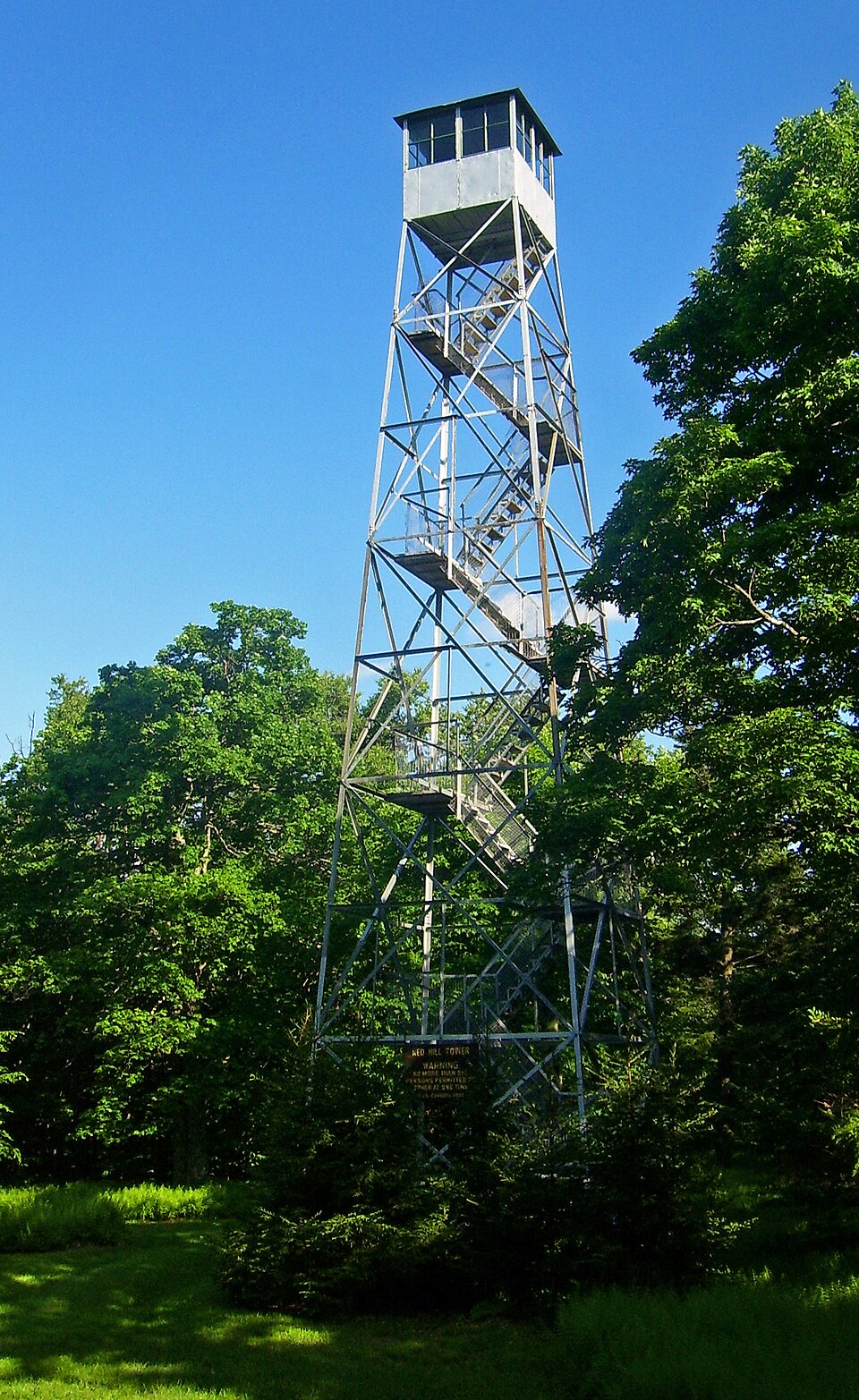
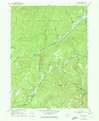
Built in 1920. Listed on the National Register of Historic Places in 2001. 11 historic topographic surveys show this location, the earliest from 1910.
From the record
“The Red Hill Fire Observation Station consists of a fire lookout tower, cabin and pit privy located on state land in the Sundown Wild Forest, at the summit of Red Hill, a 2,990-foot (910 m) Catskill Mountain peak in Denning, New York, United States. It is the southernmost fire tower in the Catskill Park.”
Wikipedia article Red Hill Fire Observation Station, CC BY-SA 4.0.
One of 209 National Register listings published here for Ulster County · listed in 2001 · category: Structure · built in 1920, by Aermotor Windmill Company.
Also known as. Fire Observation Stations of New York State Forest Preserve MPS
Town. Denning town
When was it built? 1920
Architect. Aermotor Windmill Company
National Register reference number.01001030- the number the National Park Service assigned this property when it was listed, and the key its nomination file is catalogued under at the National Archives.
Fires near this property
43 since 1999
Regional context, not property-specific
evidence. The
federal wildfire occurrence database
lists 43 fires within 5 miles of Red Hill Fire Observation Station
between 1999 and 2020, burning about 38 acres in total. 6 started naturally. 3 were recorded as arson.
Distance is straight-line from the map coordinates, so a fire counted
here may appear on a neighbouring settlement's page as well.
Reported cause
Fires
Missing data/not specified/undetermined
18
Power generation/transmission/distribution
6
Natural
6
Debris and open burning
4
Arson/incendiarism
3
Smoking
2
Recreation and ceremony
2
Equipment and vehicle use
2
The most recent of
them, most recent first, with the day each was reported and the service
that recorded it.
Regional context, not property-specific
evidence. The National Weather Service names
Denning, the town this property stands in, in 4 storm reports between 2000 and 2018: 2 flash flood, 1 thunderstorm wind, 1 heavy rain.
No death or injury is recorded in these reports. Each account below is quoted exactly as the forecast office
filed it, from the NOAA Storm Events Database, and each date
opens the federal record of that event.
United States Geological Survey topographic
sheets whose coverage includes this point. Matched by taking the coordinate the National Park Service records for this property, then
testing that coordinate against the published boundary of every sheet.
Listing record. National Park Service National Register of Historic Places, listed-properties dataset, current to 2026-05-22.
Map join. Address geocoded through the United States Census geocoder, then tested against the published boundary of every sheet in the USGS Historical Topographic Map Collection.
How this page is made. Listing fields come from federal records; map-sheet coverage is a labelled coordinate-to-boundary calculation, not a source-field claim.
Wildfire. Short, Karen C. 2022. Spatial wildfire occurrence data for the United States, 1992-2020 [FPA_FOD_20221014]. 6th Edition. Fort Collins, CO: Forest Service Research Data Archive. https://doi.org/10.2737/RDS-2013-0009.6 Collected with United States Government funding and usable without additional permissions or fees.
Storms. NOAA National Centers for Environmental Information, Storm Events Database https://www.ncei.noaa.gov/stormevents/ A work of the United States government, no copyright under 17 U.S.C. 105. Narratives are quoted verbatim from the National Weather Service report and are not edited or summarised.
 Block
Block