BlockBefore
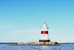
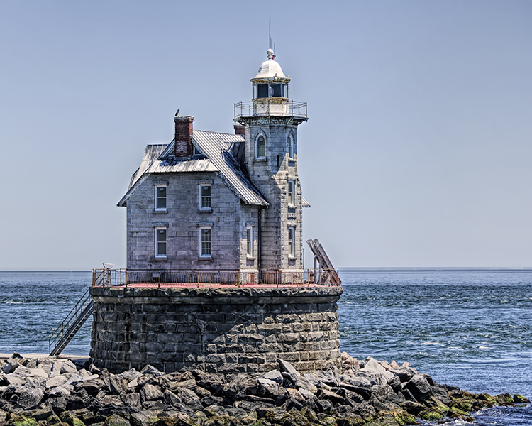
Photograph of Race Rock Light
Photograph by Christine from L.I, CC BY-SA 4.0. Via Wikimedia Commons.

Race Rock Light Station

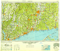
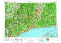
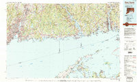
Built in 1878. Listed on the National Register of Historic Places in 2005. 9 historic topographic surveys show this location, the earliest from 1903.

From the record

“Race Rock Light is a lighthouse on Race Rock Reef, a dangerous set of rocks in the Long Island Sound southwest of Fishers Island, New York and the site of many shipwrecks. It is currently owned and maintained by the New London Maritime Society as part of the National Historic Lighthouse Preservation Act program.”

Wikipedia article Race Rock Light, CC BY-SA 4.0.

One of 338 National Register listings published here for Suffolk County · listed in 2005 · category: Building · built in 1878, by Francis Hopkinson Smith.

Sources: the Wikipedia article · the case file at the National Archives · the National Register database, National Park Service


The listing

  • What is counted as historic. The nomination lists 1 building as contributing to the listing.
  • Address. 0.6 mi. SW of Race Point, Fishers Island
  • When was it listed? April 2005
  • Category. building
  • Town. Southold town
  • When was it built? 1878
  • Architect. Francis Hopkinson Smith
  • National Register reference number. 05000347 - the number the National Park Service assigned this property when it was listed, and the key its nomination file is catalogued under at the National Archives.

Mines and quarries near this property

1 within 5 miles

Regional context, not property-specific evidence. The federal mineral resources record lists 1 working within 5 miles of Race Rock Light Station: 1 past producer. None of them still produces. What was taken out: Stone. Distance is straight-line from the map coordinates, so a quarry counted here may appear on a neighbouring settlement's page as well.

Where SiteCommodity StatusRecorded
Milford QuarryStonePast Producer

Every working recorded in Suffolk County

Maps showing this location

9 surveys

United States Geological Survey topographic sheets whose coverage includes this point. Matched by taking the coordinate the National Park Service records for this property, then testing that coordinate against the published boundary of every sheet.

Listed places nearby

1 within 8 miles

Other National Register properties close enough to walk or drive between, ordered by distance from this one. Both positions come from the same geocoding pass that matched these properties to their map sheets.

Photograph PropertyDistance Listed
Latimer Reef Light Station7.1 miles2006

Sources for this property

National Archives recordThe nomination case file for reference 05000347 in Record Group 79.
Wikipedia articleCommunity-written account of this property, licensed CC BY-SA.
Suffolk CountyAll 338 listed properties in this county.

Provenance

  • Listing record. National Park Service National Register of Historic Places, listed-properties dataset, current to 2026-05-22.
  • Map join. Address geocoded through the United States Census geocoder, then tested against the published boundary of every sheet in the USGS Historical Topographic Map Collection.
  • How this page is made. Listing fields come from federal records; map-sheet coverage is a labelled coordinate-to-boundary calculation, not a source-field claim.
  • Mines and quarries. USGS Mineral Resources Data System (MRDS) https://mrdata.usgs.gov/mrds/ A work of the United States government, no copyright under 17 U.S.C. 105.