BlockBefore
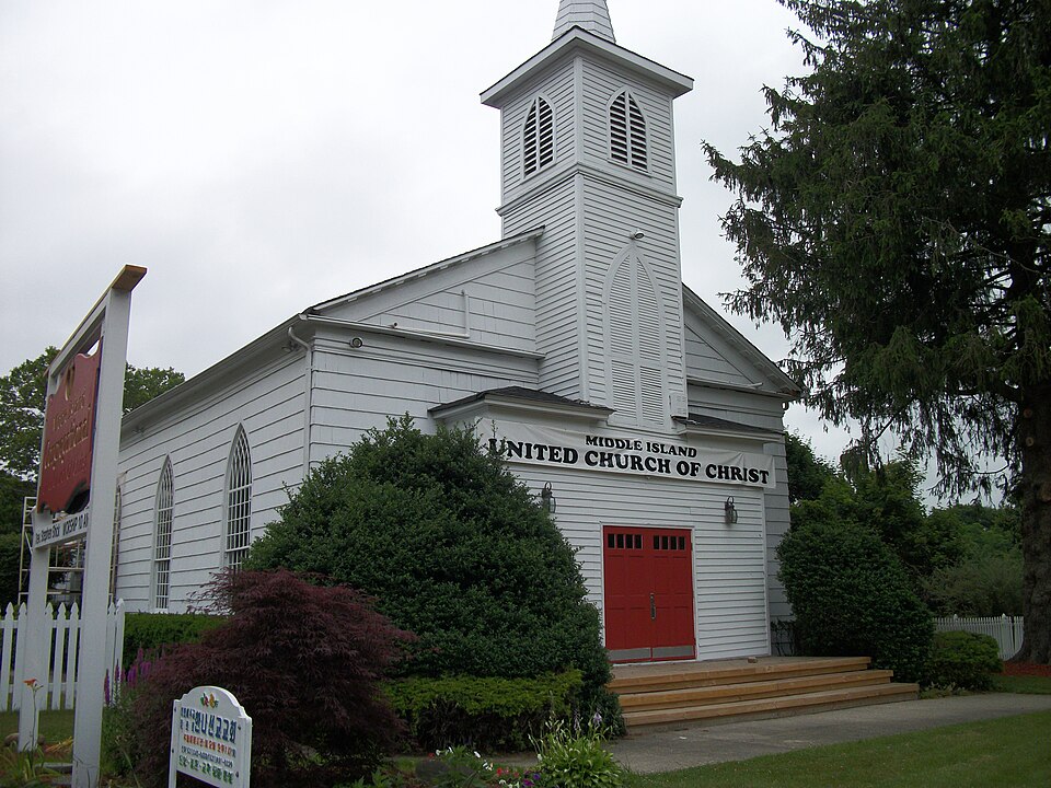
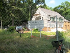
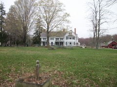
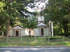
Photograph of Middle Island Presbyterian Church
Photograph by DanTD, CC BY-SA 3.0. Via Wikimedia Commons.

Middle Island Presbyterian Church

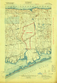
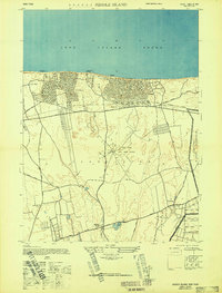
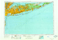
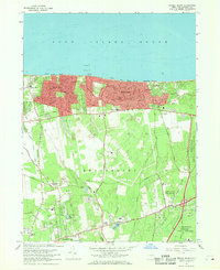
Listed on the National Register of Historic Places in 2005. 11 historic topographic surveys show this location, the earliest from 1904.

From the record

“Middle Island Presbyterian Church is a historic Presbyterian church at 271 Middle Country Road in Middle Island, Suffolk County, New York.”

Wikipedia article Middle Island Presbyterian Church, CC BY-SA 4.0.

One of 338 National Register listings published here for Suffolk County · listed in 2005 · category: Building.

Sources: the Wikipedia article · the case file at the National Archives · the National Register database, National Park Service

The listing

  • What is counted as historic. The nomination lists 1 building as contributing to the listing.
  • Address. 271 Middle Country Rd., Middle Island, 11953
  • When was it listed? December 2005
  • Category. building
  • Town. Brookhaven town
  • Architectural style. Federal architecture
  • National Register reference number. 05001388 - the number the National Park Service assigned this property when it was listed, and the key its nomination file is catalogued under at the National Archives.

Fires near this property

1,545 since 1992

Regional context, not property-specific evidence. The federal wildfire occurrence database lists 1,545 fires within 5 miles of Middle Island Presbyterian Church between 1992 and 2020, burning about 3,130 acres in total. 53 started naturally. 384 were recorded as arson. Distance is straight-line from the map coordinates, so a fire counted here may appear on a neighbouring settlement's page as well.

Reported cause Fires
Missing data/not specified/undetermined994
Arson/incendiarism384
Natural53
Smoking45
Debris and open burning27
Equipment and vehicle use16
Misuse of fire by a minor13
Recreation and ceremony9
Other causes2
Power generation/transmission/distribution2

The most recent of them, most recent first, with the day each was reported and the service that recorded it.

DateCause SizeReported by Name on the report
9 September 2017Debris and open burningunder an acreFire Department of New YorkN/A
9 September 2005Missing data/not specified/undeterminedunder an acreFire Department of New Yorknot named
8 September 2020Debris and open burningunder an acreFire Department of New YorkNA
8 September 2000Missing data/not specified/undeterminedunder an acreFire Department of New Yorknot named
8 September 1997Arson/incendiarism1.0 acresNew York Forest Rangersnot named
7 September 2018Debris and open burningunder an acreFire Department of New YorkN/A
7 September 2005Missing data/not specified/undeterminedunder an acreFire Department of New Yorknot named

Every fire recorded in Suffolk County

Mines and quarries near this property

4 within 5 miles

Regional context, not property-specific evidence. The federal mineral resources record lists 4 workings within 5 miles of Middle Island Presbyterian Church: 2 past producers, 2 producers. 2 still produce. What was taken out: Sand and Gravel, Construction. Distance is straight-line from the map coordinates, so a quarry counted here may appear on a neighbouring settlement's page as well.

Where SiteCommodity StatusRecorded
Brookhaven Aggregates PitSand and Gravel, ConstructionProducer
Brookhaven Pit and MillSand and Gravel, ConstructionPast ProducerSedimentary
Roanoke Mabro Sand and Gravel PitSand and Gravel, ConstructionPast ProducerSedimentary
Roanoke Marboro Sand and GravelSand and Gravel, ConstructionProducer

Every working recorded in Suffolk County

Maps showing this location

11 surveys

United States Geological Survey topographic sheets whose coverage includes this point. Matched by taking the coordinate the National Park Service records for this property, then testing that coordinate against the published boundary of every sheet.

Listed places nearby

6 within 8 miles

Other National Register properties close enough to walk or drive between, ordered by distance from this one. Both positions come from the same geocoding pass that matched these properties to their map sheets.

Photograph PropertyDistance Listed
Davis Town Meeting House1.1 miles2001
Smith Estate3.1 miles1981
Samuel Hopkins House3.8 miles2009
Mary Louise Booth Girlhood House3.9 miles2015
St. Andrew's Episcopal Church3.9 miles1988
Homan-Gerard House and Mills4.0 miles1988

Sources for this property

National Archives recordThe nomination case file for reference 05001388 in Record Group 79.
Wikipedia articleCommunity-written account of this property, licensed CC BY-SA.
Suffolk CountyAll 338 listed properties in this county.

Provenance

  • Listing record. National Park Service National Register of Historic Places, listed-properties dataset, current to 2026-05-22.
  • Map join. Address geocoded through the United States Census geocoder, then tested against the published boundary of every sheet in the USGS Historical Topographic Map Collection.
  • How this page is made. Listing fields come from federal records; map-sheet coverage is a labelled coordinate-to-boundary calculation, not a source-field claim.
  • Wildfire. Short, Karen C. 2022. Spatial wildfire occurrence data for the United States, 1992-2020 [FPA_FOD_20221014]. 6th Edition. Fort Collins, CO: Forest Service Research Data Archive. https://doi.org/10.2737/RDS-2013-0009.6 Collected with United States Government funding and usable without additional permissions or fees.
  • Mines and quarries. USGS Mineral Resources Data System (MRDS) https://mrdata.usgs.gov/mrds/ A work of the United States government, no copyright under 17 U.S.C. 105.