Block
BlockFrom the record
One of 108 National Register listings published here for Queens County · listed in 2026 · category: Building.
Sources: the National Register database, National Park Service
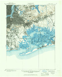
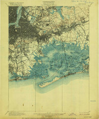
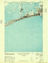
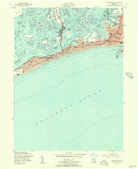
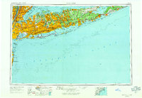
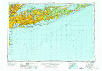
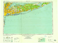
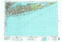
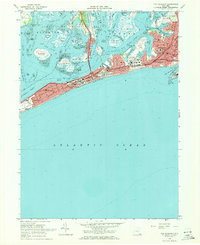
Listed on the National Register of Historic Places in 2026. 15 historic topographic surveys show this location, the earliest from 1889.
One of 108 National Register listings published here for Queens County · listed in 2026 · category: Building.
Sources: the National Register database, National Park Service
Regional context, not property-specific evidence. The federal wildfire occurrence database lists 807 fires within 5 miles of Richard Mott House between 1993 and 2020, burning about 551 acres in total. 43 started naturally. 50 were recorded as arson. Distance is straight-line from the map coordinates, so a fire counted here may appear on a neighbouring settlement's page as well.
| Reported cause | Fires |
|---|---|
| Missing data/not specified/undetermined | 578 |
| Arson/incendiarism | 50 |
| Natural | 43 |
| Misuse of fire by a minor | 39 |
| Smoking | 35 |
| Debris and open burning | 20 |
| Equipment and vehicle use | 19 |
| Recreation and ceremony | 14 |
| Power generation/transmission/distribution | 7 |
| Railroad operations and maintenance | 1 |
| Fireworks | 1 |
The most recent of them, most recent first, with the day each was reported and the service that recorded it.
| Date | Cause | Size | Reported by | Name on the report |
|---|---|---|---|---|
| 8 September 2010 | Missing data/not specified/undetermined | 1.9 acres | Fire Department of New York | not named |
| 8 September 2005 | Missing data/not specified/undetermined | 1.9 acres | Fire Department of New York | not named |
| 8 September 2005 | Missing data/not specified/undetermined | under an acre | Fire Department of New York | not named |
| 8 September 2005 | Missing data/not specified/undetermined | 1.9 acres | Fire Department of New York | not named |
| 8 September 2004 | Missing data/not specified/undetermined | under an acre | Fire Department of New York | not named |
| 7 September 2005 | Arson/incendiarism | under an acre | Fire Department of New York | not named |
| 6 September 2016 | Misuse of fire by a minor | under an acre | Fire Department of New York | N/A |
| 6 September 2015 | Missing data/not specified/undetermined | under an acre | Fire Department of New York | NA |
Regional context, not property-specific evidence. The National Weather Service names Far Rockaway, the town this property stands in, in 3 storm reports between 2002 and 2011: 2 flash flood, 1 thunderstorm wind. No death or injury is recorded in these reports. Each account below is quoted exactly as the forecast office filed it, from the NOAA Storm Events Database, and each date opens the federal record of that event.
| When | Event | Place named | Harm | What the report says |
|---|---|---|---|---|
| September 2010 | Thunderstorm Wind | Far Rockaway | $2,000 | Two trees were reported down on Brookhaven Avenue near St. Johns Hospital in Far Rockaway. |
| August 2011 | Flash Flood | Far Rockaway | - | Service on the Far Rockaway branch of the Long Island Rail Road was suspended due to flooding. There was also extremely high water in the train storage yard. The Automated Surface Observing System at John F. Kennedy International Airport recorded 2.83 inches of rainfall between 3:51 and 4:51 EST and 1.39 inches between 2:51 and 3:51 EST at LaGuardia Airport with storm total amounts of 7.80 inches and 6.60 inches respectively. Other storm total rainfall amounts reported in Queens County ranged from 6.03 inches in Rego Park to 8.81 inches in South Ozone Park. |
| August 2002 | Flash Flood | Far Rockaway | - | Torrential rain produced significant urban flooding in Far Rockaway. |
United States Geological Survey topographic sheets whose coverage includes this point. Matched by taking the coordinate the National Park Service records for this property, then testing that coordinate against the published boundary of every sheet.
Other National Register properties close enough to walk or drive between, ordered by distance from this one. Both positions come from the same geocoding pass that matched these properties to their map sheets.
| Photograph | Property | Distance | Listed |
|---|---|---|---|
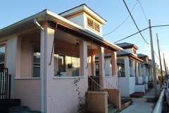 | Far Rockaway Beach Bungalow Historic District | 0.9 miles | 2013 |
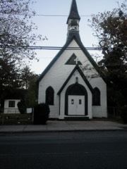 | Trinity Chapel | 1.0 miles | 2002 |
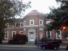 | US Post Office-Far Rockaway | 1.0 miles | 1988 |
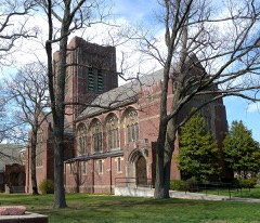 | Russell Sage Sage Memorial Church | 1.2 miles | 1986 |
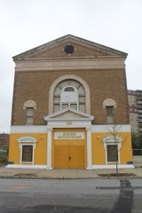 | Temple of Israel Synagogue | 2.4 miles | 2014 |
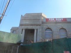 | Rockaway Courthouse | 2.6 miles | 2014 |
| National Archives record | The nomination case file for reference 100012710 in Record Group 79. |
| Queens County | All 108 listed properties in this county. |