Block
BlockFrom the record
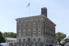
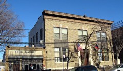
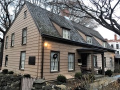
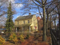
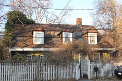
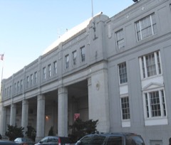
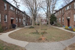
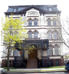
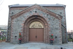
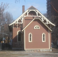
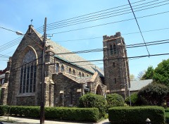
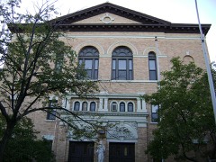
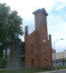
108 National Register listings published here, 4 of them National Historic Landmarks.
Sources: the National Register database, National Park Service
Queens County is the borough of Queens. 132 topographic sheets cover 87 settlements here, and 108 properties are on the National Register of Historic Places.
108 National Register listings published here, 4 of them National Historic Landmarks.
Sources: the National Register database, National Park Service
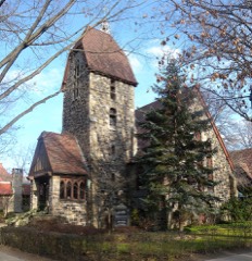
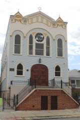
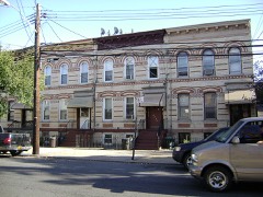
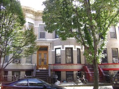
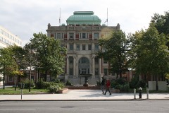
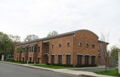
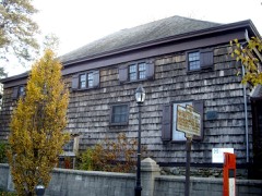
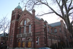
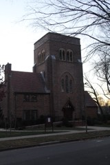
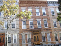
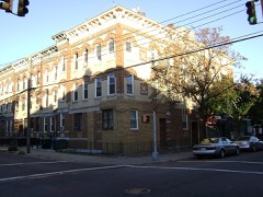
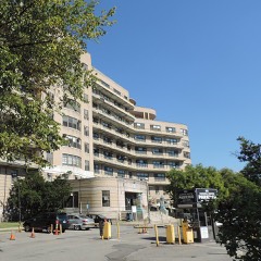
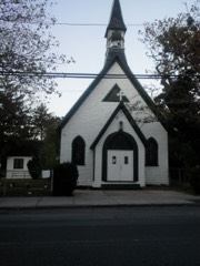
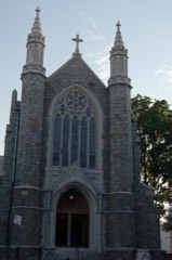
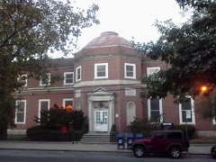
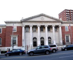
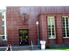
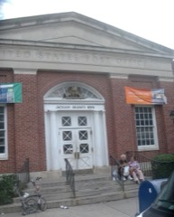
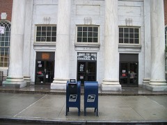
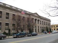
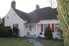
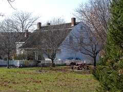
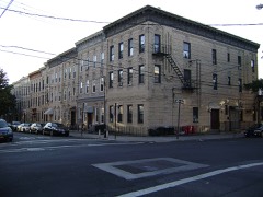
Every property in this county listed on the National Register of Historic Places, with the year it was listed and the federal nomination document.
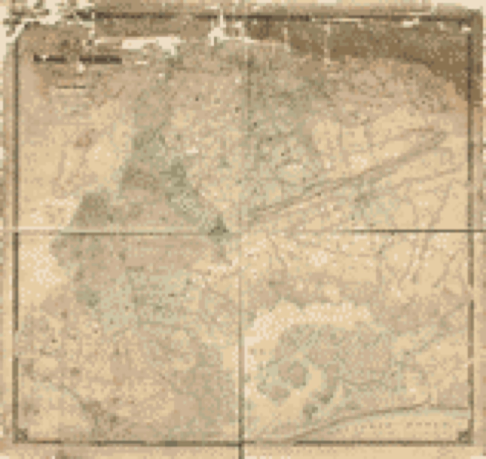
Drawn when these were printed as single large sheets: the town seen from the air, and the county divided into its farms with every owner named. Each opens the original at the Library of Congress.
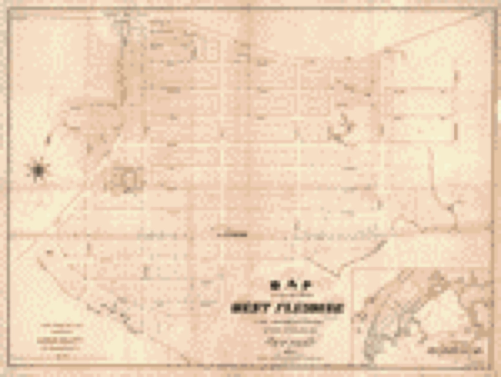
![Land ownership map, 1870 - Hitchcock's second plan--homes for the people at West Flushing : [Corona, Queens County, Long Island, N.Y.]](assets/locview_2005626671.jpg)
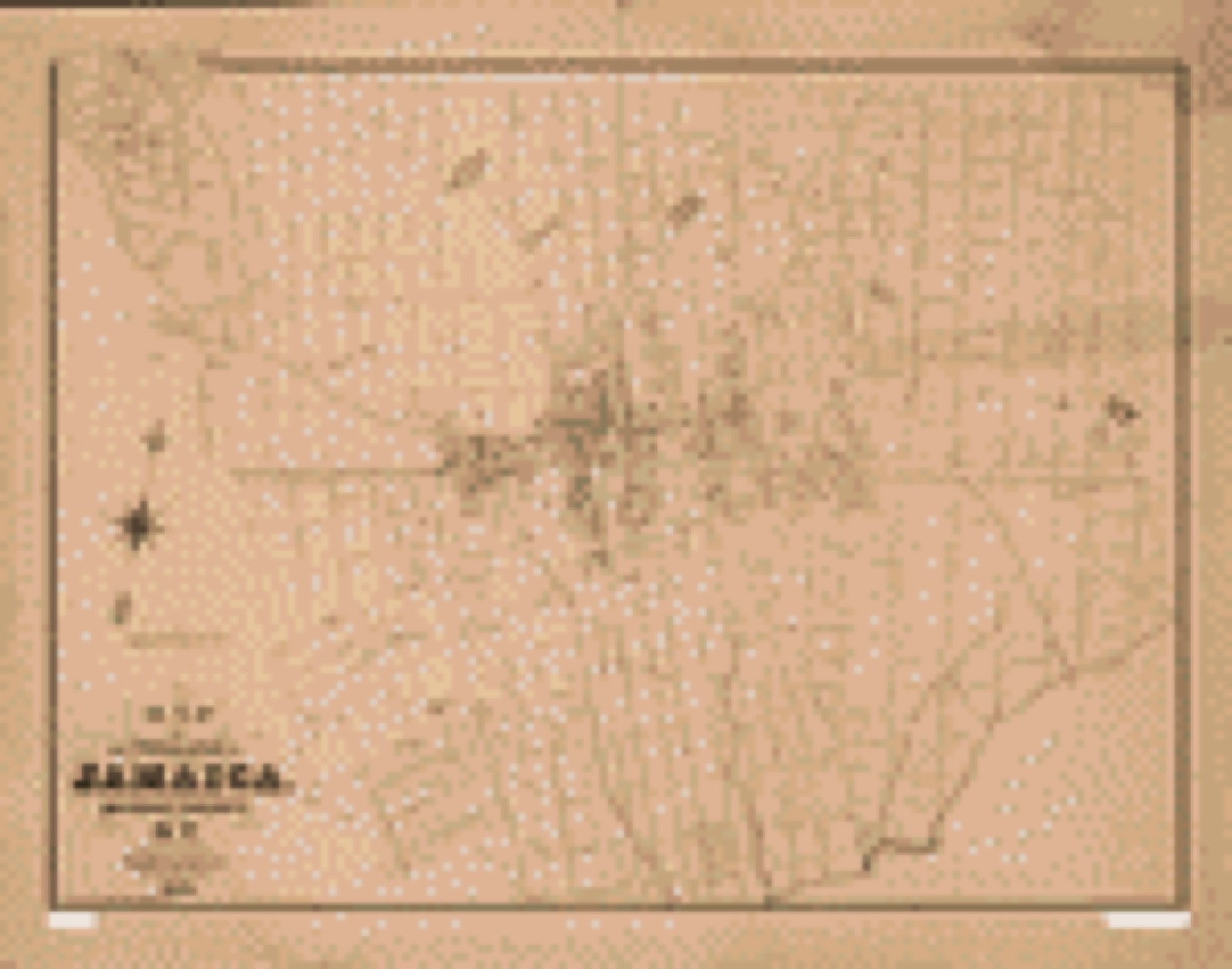
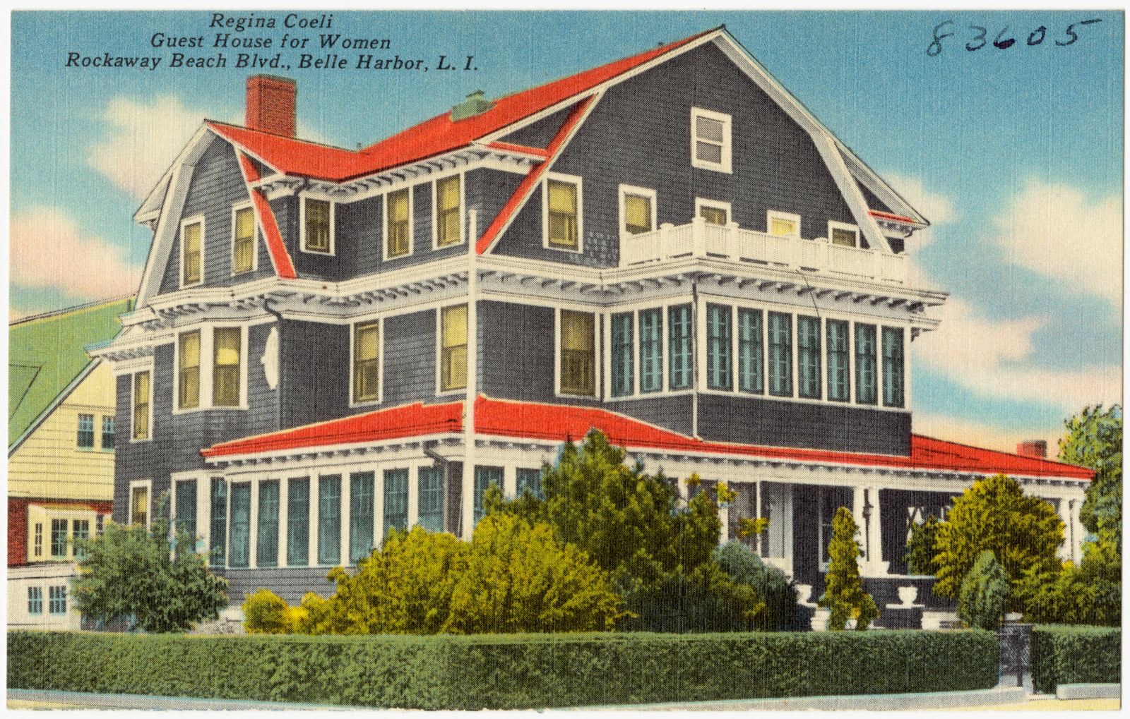
Selected from the Digital Public Library of America's 5 image records catalogued for this county. Every one shown here carries a public-domain status or a licence that permits reuse on a site that carries advertising; non-commercial, share-alike and restricted images are excluded. The selection is spread across the county's towns (at most eight per town), so no single institution's bulk upload crowds out the rest. Each opens the holding library's record, and the complete set at the Digital Public Library of America is one click away.

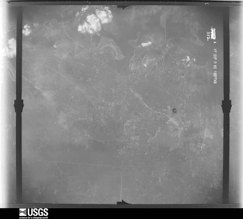
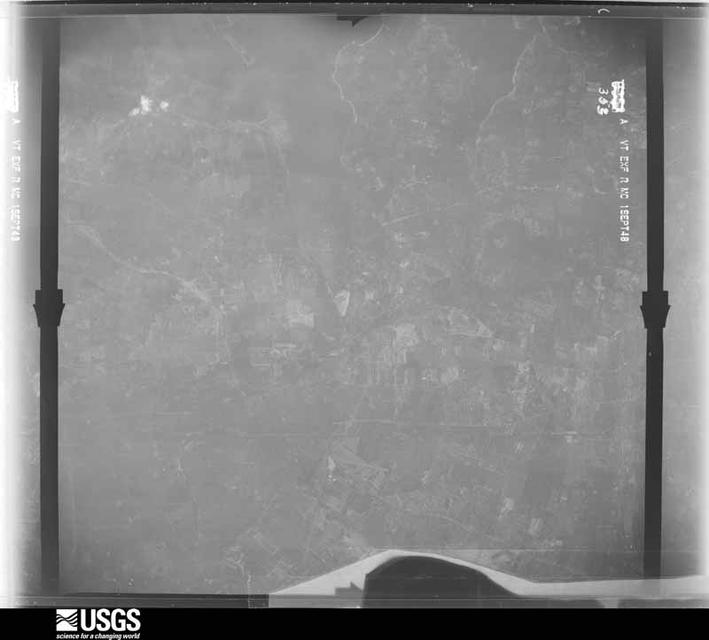
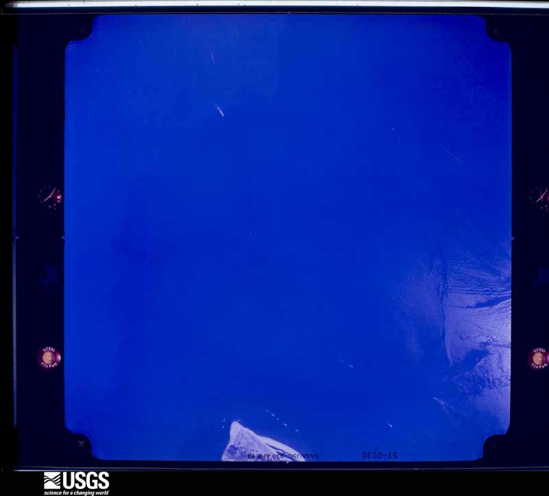
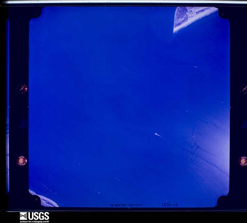
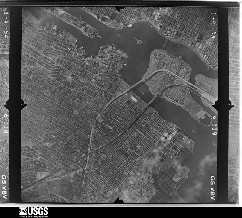
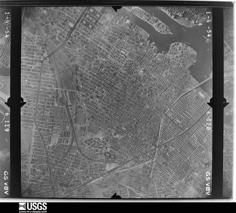
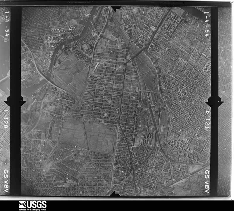
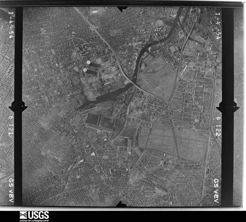
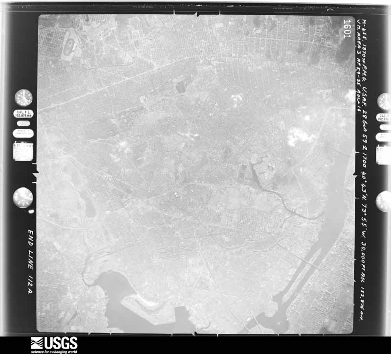
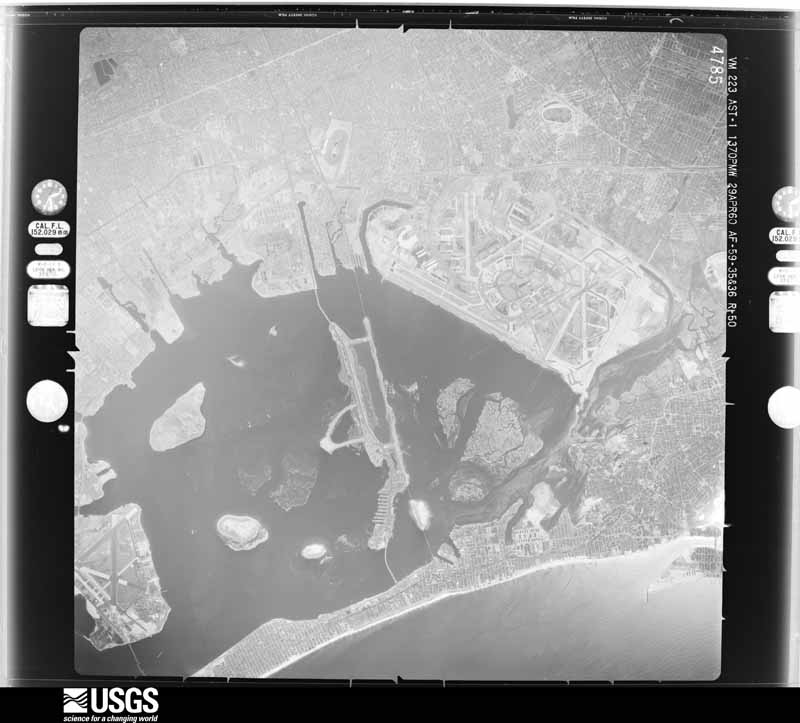
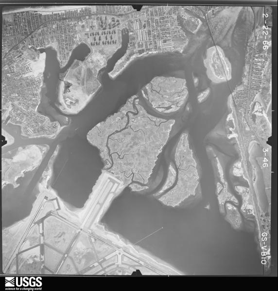
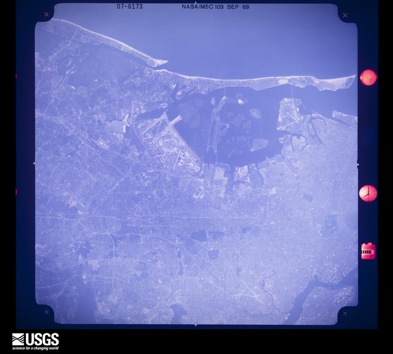
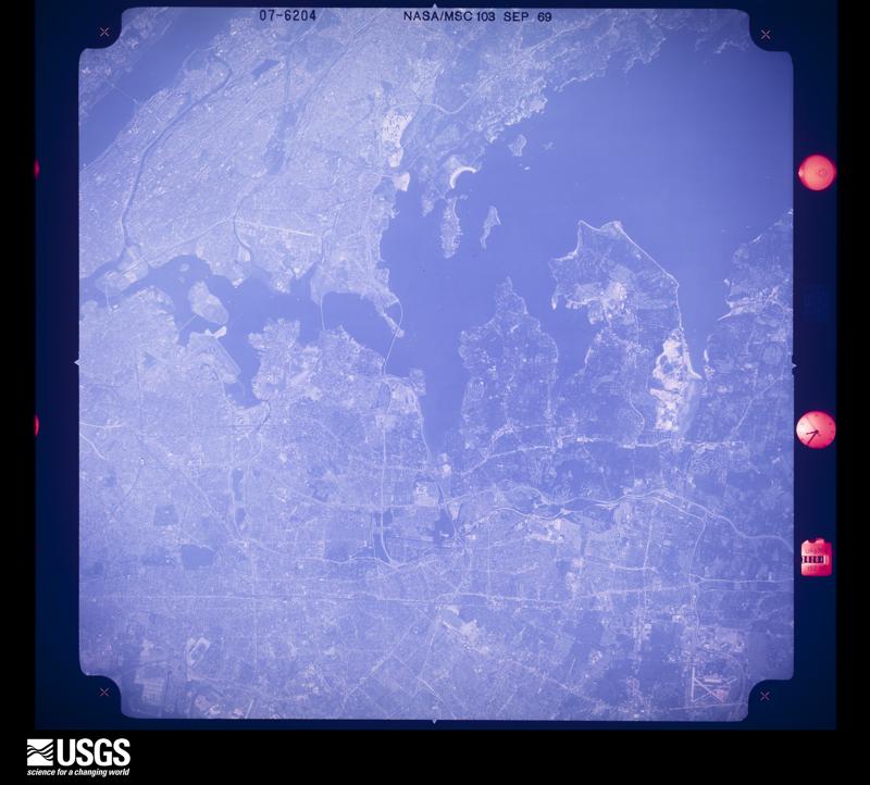
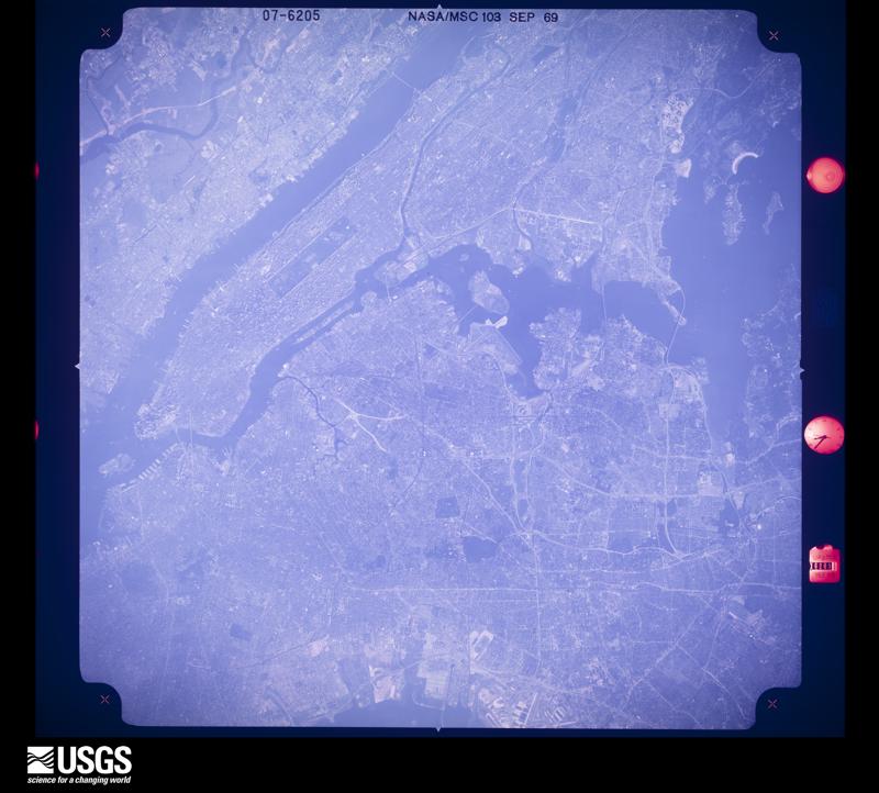
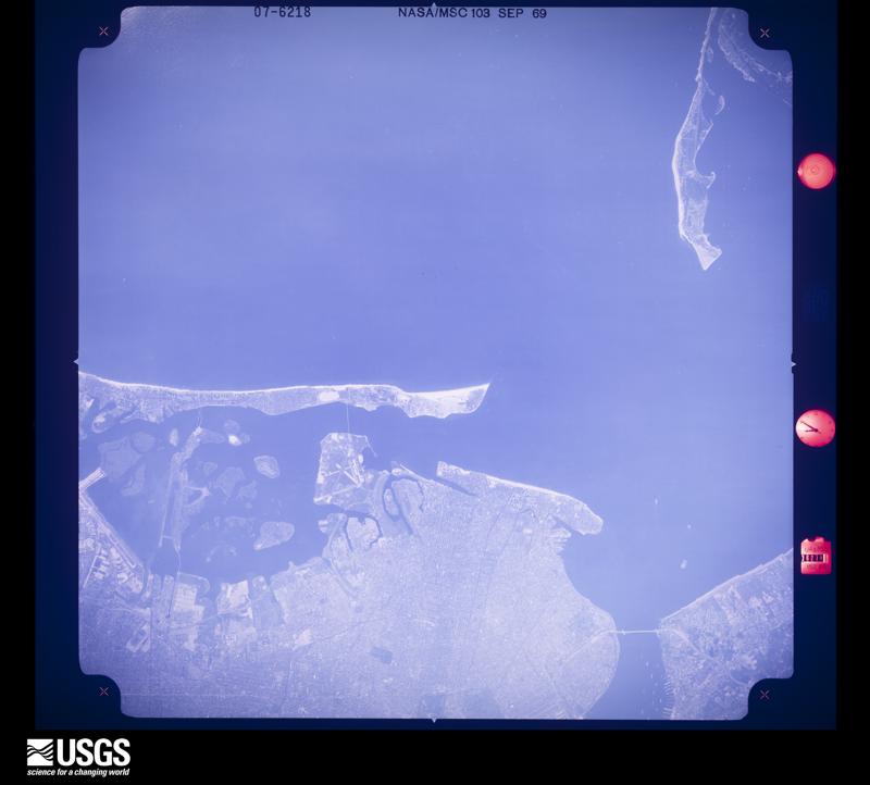
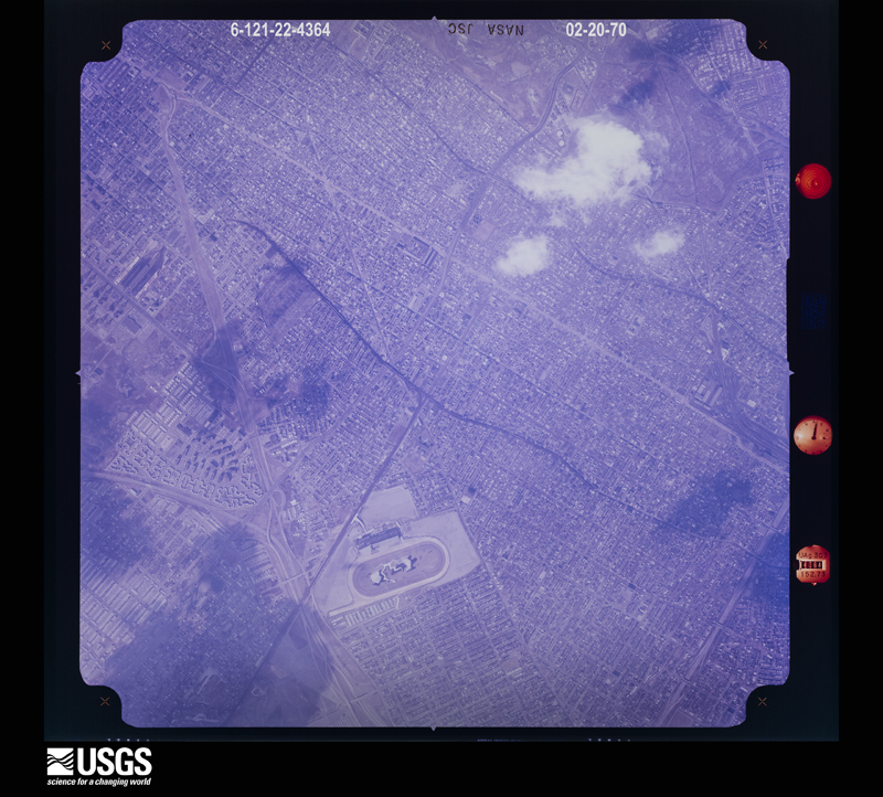
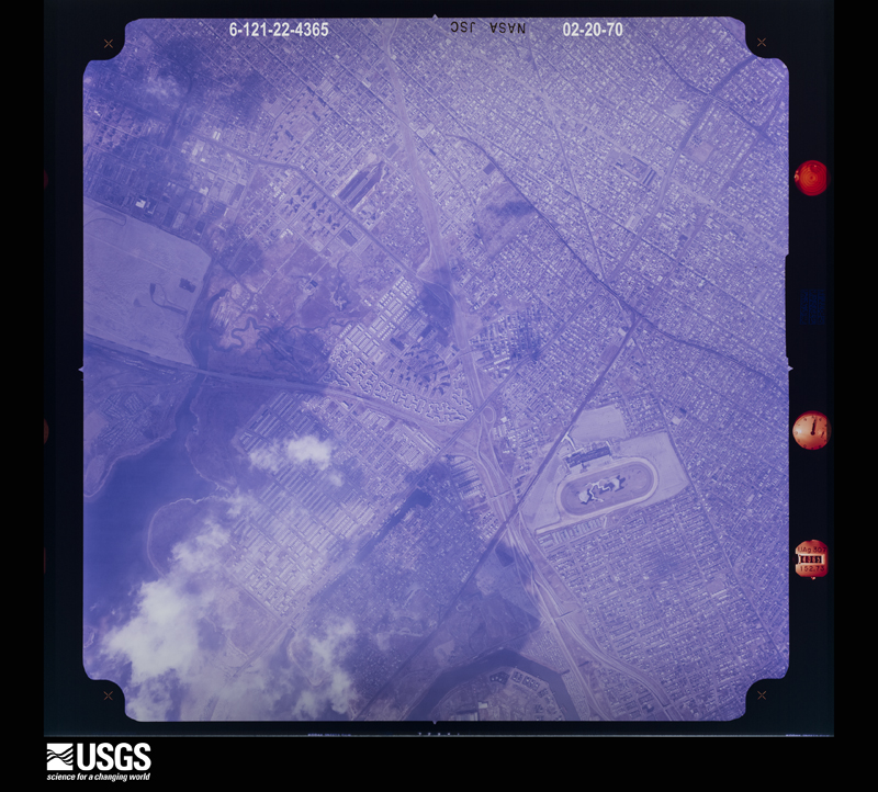
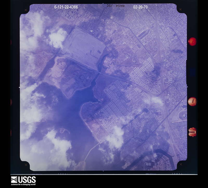
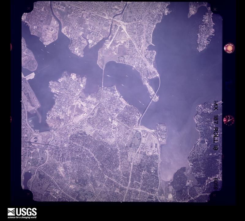
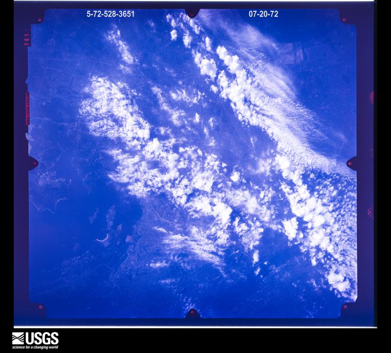
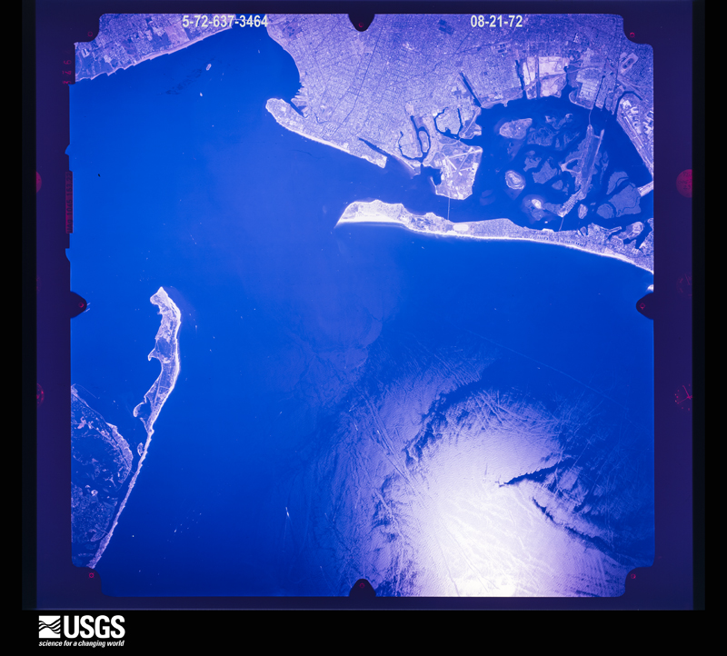
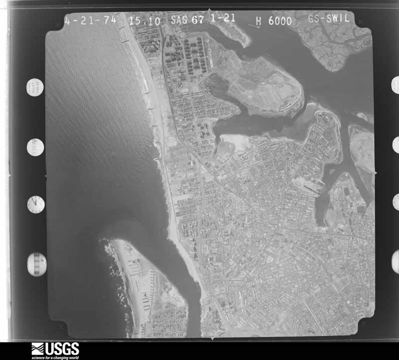
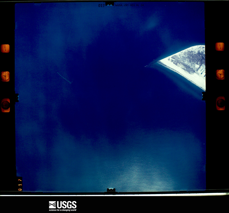
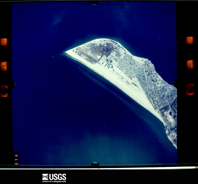
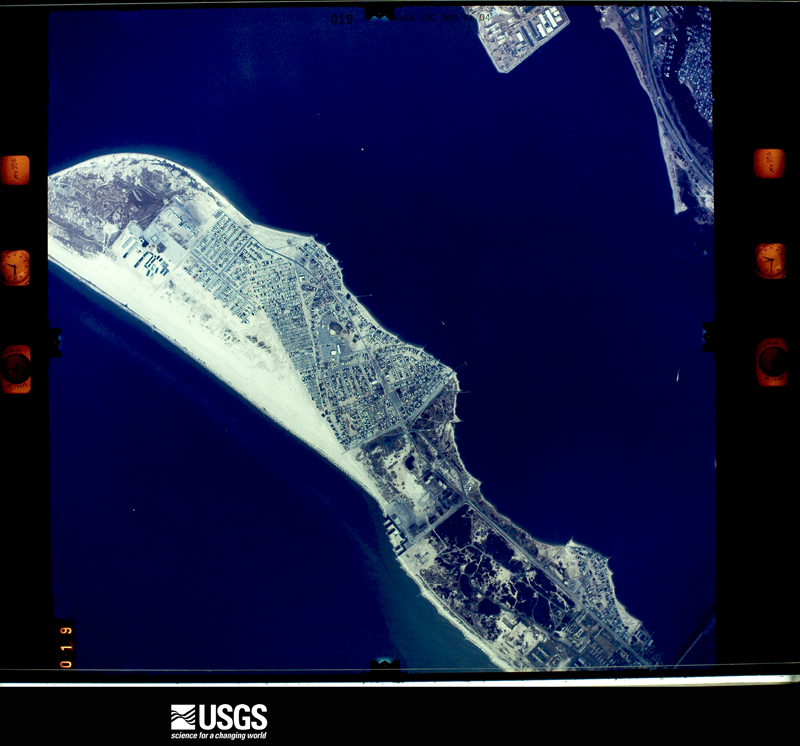
Flown by the U.S. Geological Survey between 1937 and 1989, the Aerial Photo Single Frames collection is the definitive mid-century view of the land: fields, roads and rivers as the camera saw them. The Survey holds 2,122 frames inside the rectangle that bounds this county; the 48 frames below were taken over the county itself, chosen across the decades of flights (at most four a year from that rectangle), so one flight cannot crowd out the rest. The full set is free to browse and download at EarthExplorer under the dataset Aerial Photo Single Frames.
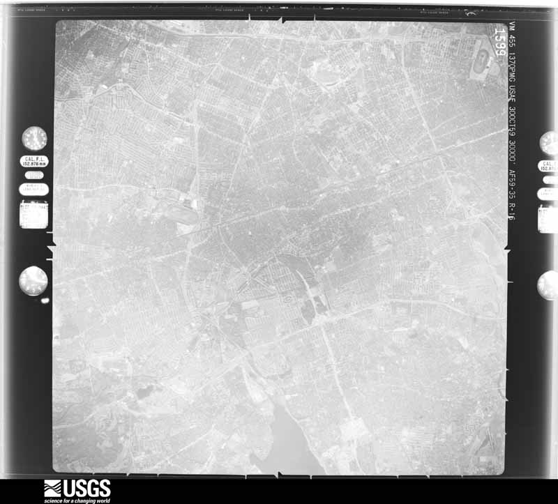
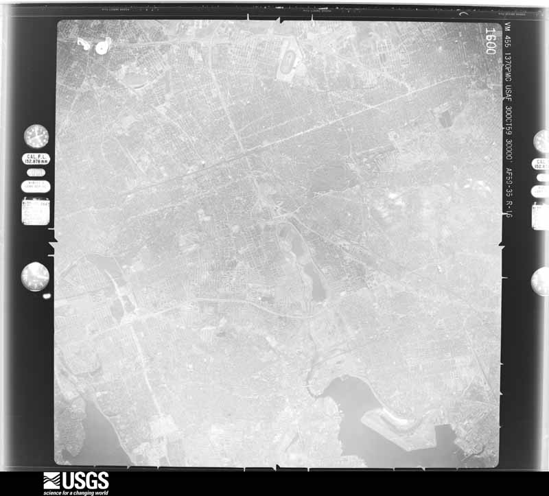
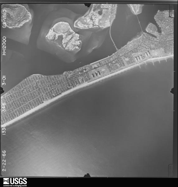
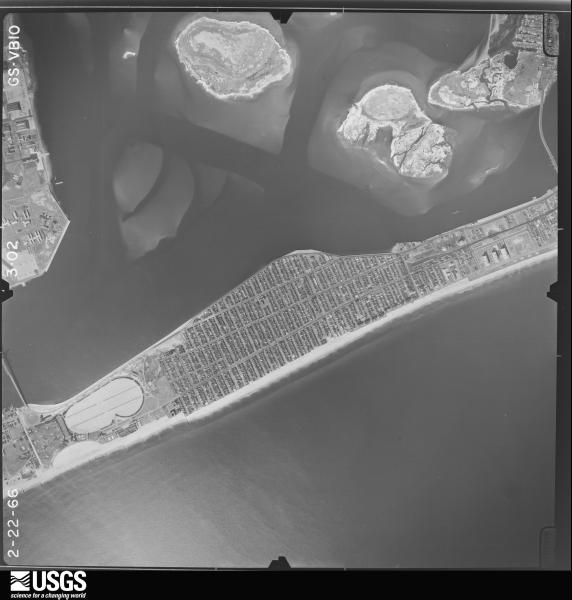
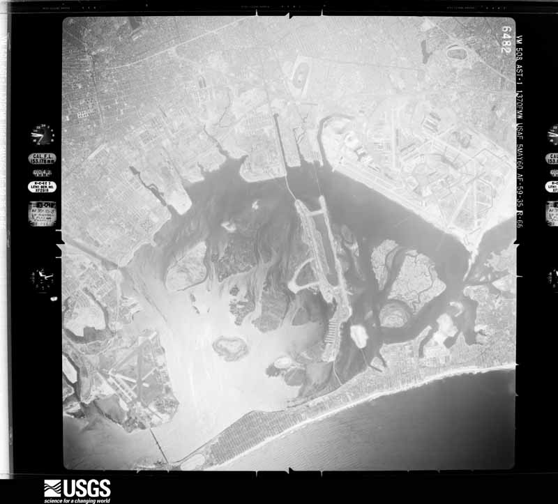
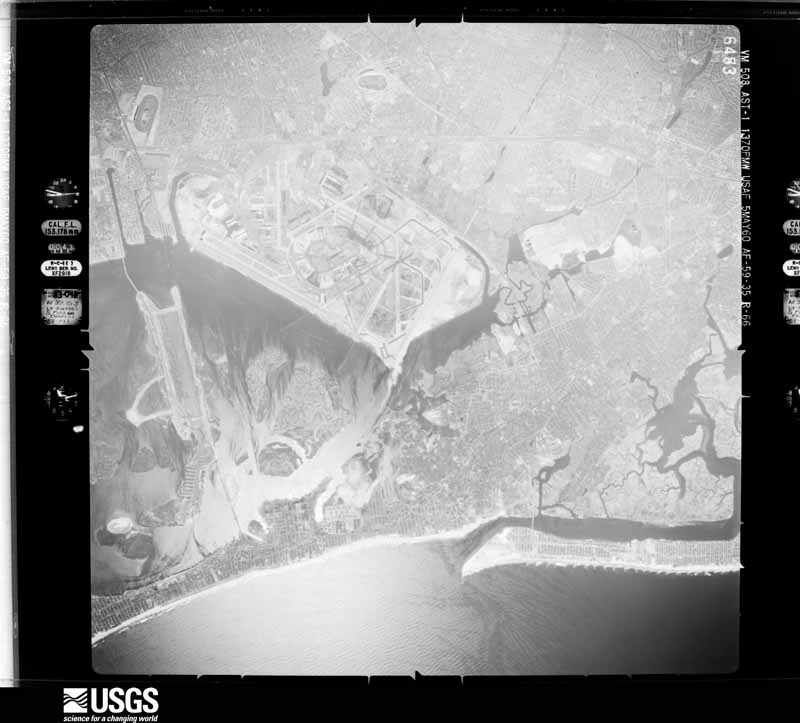
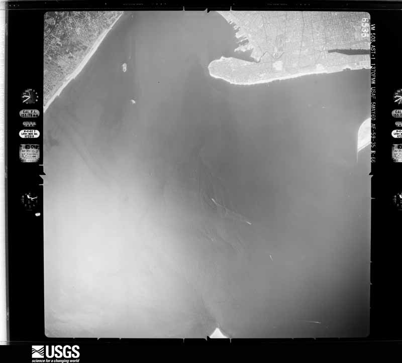
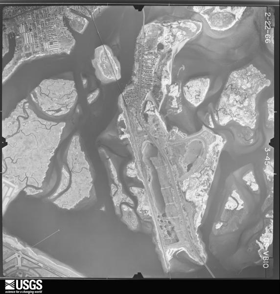
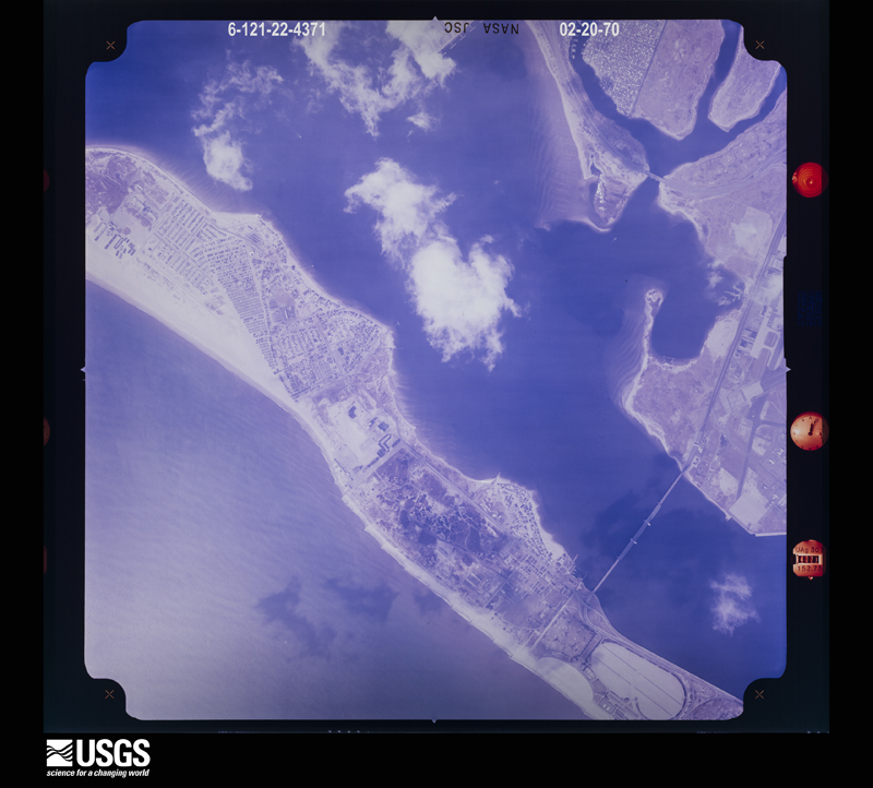
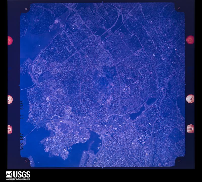
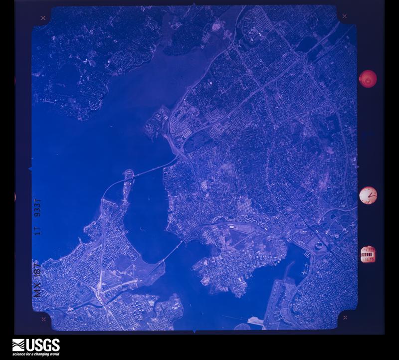
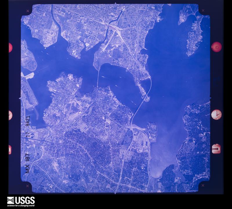
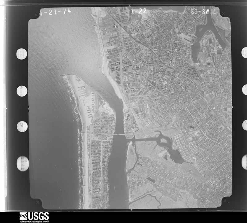
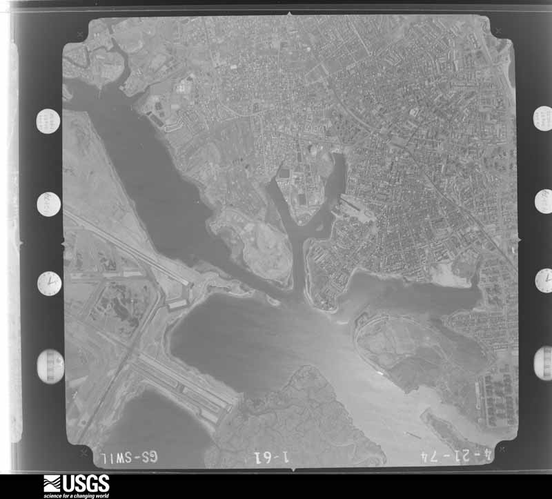
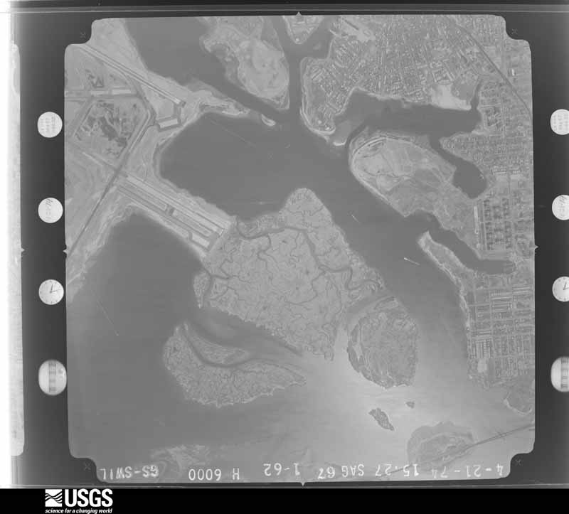
The thermometers that kept this county's weather, and the gages that measured the flow of its streams, as the federal records hold them. The extremes below are measured values from those records, not estimates.
Who lived here in 1950, one enumeration district at a time, as the Census Bureau described each district. Each row opens its official National Archives result, with Population Schedules and ED Maps available there.
Every wildfire the federal occurrence database records inside this county: 3,602 of them, burning about 1,662 acres. 212 started naturally and 183 were recorded as arson. Each settlement page carries the fires within five miles of it.
| Reported cause | Fires |
|---|---|
| Missing data/not specified/undetermined | 2609 |
| Natural | 212 |
| Smoking | 195 |
| Arson/incendiarism | 183 |
| Misuse of fire by a minor | 121 |
| Equipment and vehicle use | 102 |
| Debris and open burning | 92 |
| Recreation and ceremony | 63 |
| Power generation/transmission/distribution | 18 |
| Railroad operations and maintenance | 5 |
| Fireworks | 2 |
The five largest, by the area the report gives. None of them was recorded as arson.
| Date | Cause | Size | Reported by | Name on the report |
|---|---|---|---|---|
| 23 August 1995 | Missing data/not specified/undetermined | 100 acres | Gateway National Recreation Area | BIGEPOND |
| 24 April 2002 | Missing data/not specified/undetermined | 59 acres | Gateway National Recreation Area | CURVY FIRE |
| 15 March 2014 | Misuse of fire by a minor | 40 acres | Gateway National Recreation Area | SPRING CREEK 1 |
| 29 February 2020 | Missing data/not specified/undetermined | 37 acres | Gateway National Recreation Area | CREEK 1 |
| 1 February 2001 | Missing data/not specified/undetermined | 34 acres | Gateway National Recreation Area | DRIFTFENCE |
| 15 November 1998 | Missing data/not specified/undetermined | 30 acres | Gateway National Recreation Area | LATEFALL |
| 19 March 2006 | Natural | 27 acres | Gateway National Recreation Area | JBUSPRING2 |
| 21 February 2001 | Missing data/not specified/undetermined | 27 acres | Gateway National Recreation Area | CATERPILLA |
Every settlement page carries the fires within five miles of it - see the settlement index below.
The NOAA Storm Events Database holds 386 reports for this county, causing 22 deaths, 76 injuries and about $81,933,000 in recorded property damage. Each settlement page carries the reports that name it.
| Kind of event | Reports |
|---|---|
| Flash Flood | 155 |
| Thunderstorm Wind | 143 |
| Hail | 28 |
| Heavy Rain | 22 |
| Flood | 18 |
| Lightning | 9 |
| Tornado | 5 |
| Rip Current | 3 |
| Winter Weather | 1 |
| Coastal Flood | 1 |
| Funnel Cloud | 1 |
The most serious of them, by death, then injury, then recorded damage. The accounts are quoted exactly as the forecast office filed them.
| When | Event | Place named | Harm | What the report says |
|---|---|---|---|---|
| September 2021 | Flash Flood | Woodside | 3 killed | A 50 year old man, 48 year old woman, and 2 year old boy died when a basement apartment on 64th Street near Laurel Hill Boulevard in Elmhurst, Queens flooded. |
| September 2021 | Flash Flood | Auburndale | 3 killed | Two women and a man died when their basement apartment flooded on Peck Avenue near Kissena Boulevard in Flushing, Queens. |
| July 2001 | Rip Current | Rockaway Beach | 3 killed | no account filed |
| June 1996 | Flood | Countywide | 2 killed, 21 hurt | no account filed |
| July 1997 | Thunderstorm Wind | Queens Village | 2 killed, 16 hurt | no account filed |
| September 2021 | Flash Flood | Hollis | 2 killed | The wall of a basement apartment on 183rd Street near 90th Avenue in Jamaica, Queens collapsed due to flooding. A 43 year old woman and her 22 year old son were killed by the flood waters, while two others were rescued. |
| August 2004 | Flash Flood | College Pt | 2 killed | Flash flooding of roads occurred at College Point. Two occupants of a vehicle were electrocuted by a fallen power line when they apparently stepped out of their vehicle into several feet of water. |
| September 2010 | Tornado (EF1) | Flushing | 1 killed, 1 hurt, $17,200,000 | A National Weather Service Storm Survey Team confirmed a tornado in Queens.||The tornado impacted Flushing and Bayside. In Flushing, on Browne Street between Roosevelt and 38th Avenues, the third floor of a residential brick building was severely damaged structurally. Large tree tops were lying on top of buildings and shot like projectiles between buildings. Sides of houses were peeled back. There was clear evidence of twisted metal along the side of the building. On Warren Street near the intersection of Roosevelt Avenue, a steel framed water tower was blown over on the roof. There was a partial roof collapse on another residential building.||A Pennsylvania woman was killed in her car by a falling tree on Grand Central Parkway. Her passenger was injured. A man trying to assist the woman suffered a brain aneurysm and died. ||The tornado touched down around 2.5 miles south of Flushing and lifted 1 mile northeast of Bayside over Little Neck Bay. |
| September 2021 | Flash Flood | Flushing | 1 killed | A 48 year old woman died when the basement of a home on Grand Central Parkway near the Horace Harding Expressway in Elmhurst flooded. |
| September 2021 | Flash Flood | Corona | 1 killed | An 86 year old woman died when her basement apartment on 84th Street near 55th Road in Elmhurst, Queens flooded. |
| August 2002 | Rip Current | Rockaway Beach | 1 killed | no account filed |
| August 1998 | Rip Current | Rockaway Beach | 1 killed | no account filed |
| December 1996 | Winter Weather | Countywide | 15 hurt | no account filed |
| October 1985 | Tornado (F1) | not stated | 6 hurt | no account filed |
| June 2024 | Thunderstorm Wind | Little Neck | 3 hurt, $10,000 | Tree down on occupied car near Fort Totten. Three people trapped and injured. |
| June 1998 | Thunderstorm Wind | Richmond Hill | 3 hurt | no account filed |
| July 2020 | Lightning | Richmond Hill | 2 hurt | Two people were hospitalized after being struck by lightning in Charles Drew Park. |
| August 2018 | Lightning | Flushing | 2 hurt | Two people struck by lightning while on a soccer field at Flushing Meadows Corona Park. |
| August 2004 | Lightning | Richmond Hill | 2 hurt | Two children were struck by lightning at Jamaica Mall. Both were hospitalized with injuries. |
| July 2009 | Thunderstorm Wind | Forest Hills | 1 hurt, $7,500 | A man was injured when a tree fell on his car near the intersection of 164th Street and Underhill Avenue. |
| August 2018 | Lightning | St Albans | 1 hurt | Person struck by lightning near the corner of 155 St and Baisley Blvd. |
| July 2004 | Heavy Rain | Central Portion | 1 hurt | Thunderstorms producing torrential rainfall aided in the collapse of an overpass on Grand Central Parkway. |
| July 2006 | Lightning | Central Portion | 1 hurt | no account filed |
| January 1999 | Thunderstorm Wind | Countywide | 1 hurt | no account filed |
| September 2021 | Flash Flood | Long Is City | $60,000,000 | Flash flooding resulted in an estimated $60 million in damages across Queens, and an estimated $300 million city-wide. This estimate only includes FEMA and SBA fund requests. |
| October 1996 | Flash Flood | Countywide | $3,600,000 | no account filed |
| January 1999 | Flash Flood | Countywide | $500,000 | no account filed |
| June 2010 | Thunderstorm Wind | Little Neck | $100,000 | Numerous utility poles, street lamps, and trees were reported down in Northeastern Queens, with the worst damage in Little Neck and Douglaston. At least one chimney was collapsed, and trees fell on several vehicles, including a mini-van, totaling the vehicle, and destroying a double bass inside. |
| August 2009 | Thunderstorm Wind | Flushing Arpt | $100,000 | Just under 100 trees were reported down across Queens by the New York City Office of Emergency Management, with most down north of the Long Island Expressway. Some of the trees fell on automobiles. |
| September 2012 | Thunderstorm Wind | Woodside | $50,000 | Numerous trees and limbs were reported down throughout the Borough of Queens. |
| August 2010 | Flash Flood | Queens Vlg | $30,000 | In Springfield Gardens, Springfield Blvd. became impassable due to flood waters. A bus became submerged in high water on Springfield Blvd. near 140th St. and its occupants were rescued by the local fire department. Water accumulated under the underpasses on the Belt Parkway, causing the road to be closed in both directions. Multiple people were trapped in vehicles, which local fire departments responded to in addition to flooding of many residential homes. A resident on Edgewood Ave. needed assistance escaping the deluge of water entering her basement apartment. |
| June 2015 | Thunderstorm Wind | Flushing | $22,500 | A large tree was reported down on two vehicles. |
| July 2016 | Lightning | Rosedale | $20,000 | Lightning struck a chimney of a building at the intersection of 146th Avenue and 230th Street, just west of Rosedale, causing structural damage. |
| July 2015 | Thunderstorm Wind | Flushing Arpt | $20,000 | Trees were reported down on cars in the Whitestone section of Queens. |
| September 2012 | Tornado (EF0) | Rockaway Beach | $20,000 | This is the second of four segments of a combined waterspout tornado event. The tornado originated as a waterspout approximately 1 mile south of the tip of Breezy Point at 10:56 am in ANZ-355, and crossed onto land, as a tornado approximately 2500 feet northeast of the tip of Breezy Point, Queens at 10:58 am. The tornado caused structural damage to the Breezy Point Surf Club near where the waterspout came onshore as a tornado. Damage was also reported near its exit point off Breezy Point, with multiple trees and power lines reported down near the Beach 216th Street, at 10:59 am. At this point the tornado exited as a waterspout into the eastern arm of Lower New York Harbor, ANZ-338, about 12,500 feet west of Rockaway Inlet. The waterspout then continued northeast until making landfall as a tornado in Kings County/Brooklyn to the southeast of Plumb Beach about 750 feet south of the Belt Parkway at 11:01 am. The tornado then continued moving northeast into Brooklyn where it produced EF1 damage in Canarsie, Brooklyn before lifting at 11:05 am. |
| April 2019 | Thunderstorm Wind | Bayside | $15,000 | Downed and damaged trees reported in parks across the borough...time estimated by radar. |
| May 2018 | Thunderstorm Wind | Flushing Arpt | $15,000 | Tree down on a house on 146th Street and 15th Avenue.|Large tree branch down on car at 146th Street and 13th Avenue. Wires also down. |
| August 2020 | Thunderstorm Wind | Richmond Hill | $11,000 | Tree on a house at 82-36 Beverly Road. |
| June 2024 | Thunderstorm Wind | Woodhaven | $10,000 | Tree down on house with structural damage near 79th Street and Penelope Avenue. |
| July 2020 | Lightning | Springfield Gardens | $10,000 | Lightning struck a home causing a fire on Sutter Avenue. |
| August 2018 | Tornado (EF0) | College Pt | $10,000 | A tornado rated as EF0 on the Enhanced Fujita Scale, with|estimated winds up to 85 mph, touched down near Saint Fidelis |Catholic Church in College Point, knocking down numerous trees and|power lines and peeling siding off houses along a path about 3/4|of a mile long and 100 yards wide. The tornado strengthened as it|moved toward Powell's Cove Park, where at least 50 trees where |downed in a narrow, convergent pattern highly indicative of a|tornado. The tornado briefly moved along the southernmost |shoreline of Powell's Cove, and then dissipated over the far |eastern end of the park just before reaching 138th Place. |
| May 2018 | Thunderstorm Wind | Flushing | $10,000 | Multiple Trees down on cars on 70th Avenue between Main Street and 147th Street. |
| July 2016 | Lightning | Richmond Hill | $10,000 | A home was struck by lightning at 94-54 118th Street just south of Richmond Hill. |
| July 2015 | Thunderstorm Wind | Little Neck | $10,000 | Two large oak trees were reported down on a house and power lines along 216th Street in the Bayside section of Queens. |
| June 2008 | Thunderstorm Wind | Richmond Hill | $10,000 | Dozens of trees and tree limbs were reported down across Northern Queens including in the Flushing, Astoria, and Corona sections. |
| June 2021 | Thunderstorm Wind | Woodside | $8,000 | A tree snapped and fell on a car, taking down wires on 31st Drive. |
| August 2008 | Thunderstorm Wind | Flushing Arpt | $7,500 | A large tree was reported to have fallen into a house just northeast of Flushing. |
| June 2021 | Thunderstorm Wind | Woodside | $6,000 | Six trees reported down. |
| September 2012 | Thunderstorm Wind | Woodside | $6,000 | Three large trees were reported down at 35th Street North of Astoria Boulevard. |
| June 2008 | Thunderstorm Wind | Woodhaven | $6,000 | Numerous trees were reported down from Glendale to Maspeth. |
| June 2008 | Thunderstorm Wind | Woodhaven | $6,000 | Numerous trees were reported down from Forest Park to Forest Hills. |
| June 2008 | Thunderstorm Wind | Richmond Hill | $6,000 | Numerous trees were reported down from Richmond Hill to Kew Gardens. |
| June 2021 | Thunderstorm Wind | Woodhaven | $5,000 | Trees reported down across Queens with tree service requested. |
| July 2016 | Thunderstorm Wind | Rosedale | $5,000 | Trees and power wires were reported down on 147th Avenue between 232nd and 235th Streets. |
| March 2014 | Lightning | St Albans | $5,000 | Lightning struck a building on 149th Street, resulting in a fire in the attic. |
| August 2011 | Thunderstorm Wind | Rosedale | $5,000 | Trees were reported down across the railroad tracks at the Rosedale Long Island Railroad Station. |
| August 2011 | Thunderstorm Wind | Rosedale | $5,000 | Trees were reported down across the railroad tracks at the Laurelton Long Island Railroad Station. |
| July 2010 | Thunderstorm Wind | Fresh Pond | $5,000 | Power lines were reported down in Middle Village in between 60th and 62nd Avenues on the north and south and 69th Place and 71st Street on the west and east. |
| July 2019 | Thunderstorm Wind | Woodside | $4,000 | Large tree down on Steinway Street. |
| July 2009 | Thunderstorm Wind | Bayside | $4,000 | Trees and wires were reported down at 215-90 50th Avenue. |
The Survey's mineral resources record lists 1 working inside this county. It still produces. Each settlement page carries the workings within five miles of it.
| Commodity | Workings |
|---|---|
| Copper | 1 |
| Gold, Nickel, Silver, Tellurium, Selenium | 1 |
| Palladium, Platinum | 1 |
The least common of them first, because a county's hundredth gravel pit says nothing its first ten did not.
| Where | Site | Commodity | Status | Recorded |
|---|---|---|---|---|
| (Facility) Laurel Hill Refinery | Copper, Gold, Nickel, Silver, Tellurium, Selenium, Palladium, Platinum | Plant |
Named settlements recorded in the Geographic Names Information System, each with the topographic sheets covering it. Villages, hamlets and abandoned places alike. Each is shown with the nearest named watercourse or landform and the survey quadrangle it falls on.
Queens · 11691 · Near Bass Channel Island (historical) · Far Rockaway quadrangle
33 sheets, 1889 to 1984
Queens · 11693 · Near Winhole Hassock · Far Rockaway quadrangle
33 sheets, 1889 to 1984
Queens · 11378 · On East Branch Newtown Creek · Brooklyn quadrangle
37 sheets, 1889 to 1995
Queens · 11377 · Central Park quadrangle
42 sheets, 1891 to 1995
No longer a settlement
Queens · 11378 · Near Maspeth Plateau · Brooklyn quadrangle
37 sheets, 1889 to 1995
No longer a settlement
Queens · 11691 · Near Bass Channel Island (historical) · Far Rockaway quadrangle
33 sheets, 1889 to 1984
Queens · 11385 · On East Branch Newtown Creek · Brooklyn quadrangle
37 sheets, 1889 to 1995
Queens · 11370 · On Steinway Creek · Central Park quadrangle
42 sheets, 1891 to 1995
Queens · 11385 · On East Branch Newtown Creek · Brooklyn quadrangle
37 sheets, 1889 to 1995
Queens · 11385 · On East Branch Newtown Creek · Brooklyn quadrangle
37 sheets, 1889 to 1995
Queens · 11691 · Near Bass Channel Island (historical) · Far Rockaway quadrangle
33 sheets, 1889 to 1984
The vanished settlements of Queens County: the places named above that are no longer on the map.