BlockBefore

Riverside Cemetery

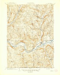
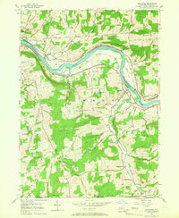
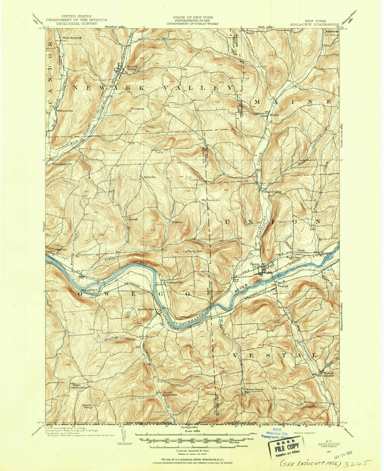
Listed on the National Register of Historic Places in 2014. 12 historic topographic surveys show this location, the earliest from 1901.

From the record

“Riverside Cemetery is a historic cemetery located near Apalachin in Tioga County, New York. It was established in 1802, with late-19th century additions and an addition in 1939.”

Wikipedia article Riverside Cemetery (Apalachin, New York), CC BY-SA 4.0.

One of 57 National Register listings published here for Tioga County · listed in 2014 · category: District.

Sources: the Wikipedia article · the National Register database, National Park Service · the Wikipedia article
The listing

  • What is counted as historic. The nomination lists 1 site, 1 structure as contributing to the listing.
  • Address. Marshland Rd., Apalachin, 13732
  • When was it listed? January 2014
  • Category. district
  • Town. Owego town
  • National Register reference number. 13001093 - assigned by the National Park Service when the property was listed.

Then and now

1901 to 1992

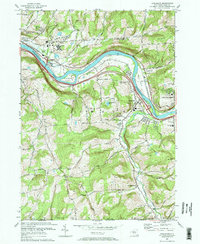
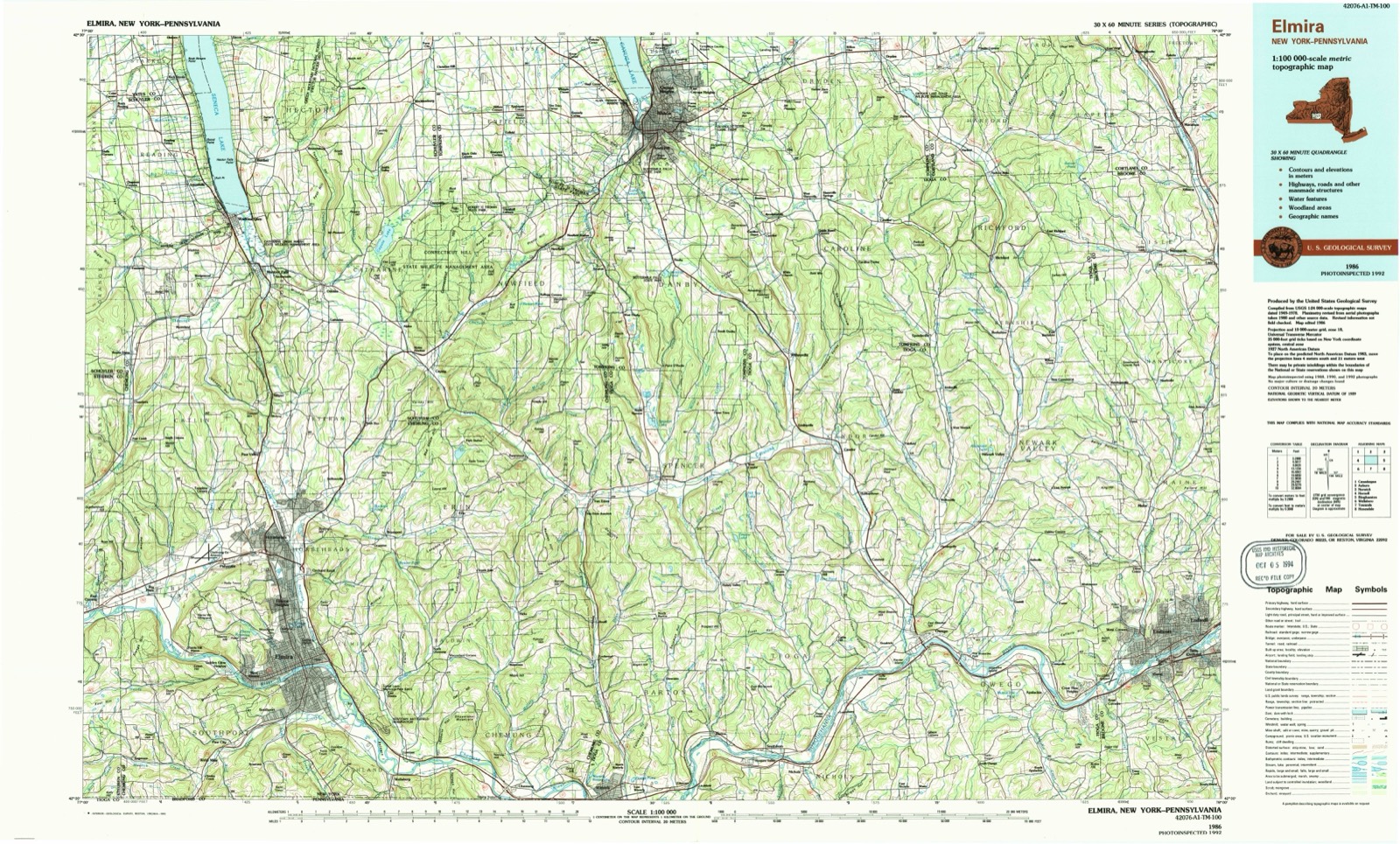
The ground this property stands on, surveyed 91 years apart. Drag the handle to wipe between them. Both sheets are United States Geological Survey originals; neither has been altered.

Topographic sheet covering Riverside Cemetery, surveyed 1992
Topographic sheet covering Riverside Cemetery, surveyed 1901

Fires near this property

159 since 1992

Regional context, not property-specific evidence. The federal wildfire occurrence database lists 159 fires within 5 miles of Riverside Cemetery between 1992 and 2020, burning about 153 acres in total. 11 started naturally. 22 were recorded as arson. Distance is straight-line from the map coordinates, so a fire counted here may appear on a neighbouring settlement's page as well.

Reported cause Fires
Missing data/not specified/undetermined62
Debris and open burning35
Arson/incendiarism22
Natural11
Power generation/transmission/distribution8
Equipment and vehicle use7
Recreation and ceremony6
Smoking6
Misuse of fire by a minor2

The most recent of them, most recent first, with the day each was reported and the service that recorded it.

DateCause SizeReported by Name on the report
25 September 2008Missing data/not specified/undeterminedunder an acreFire Department of New Yorknot named
23 September 2008Arson/incendiarismunder an acreFire Department of New Yorknot named
22 September 2003Arson/incendiarismunder an acreFire Department of New Yorknot named
21 September 2005Missing data/not specified/undeterminedunder an acreFire Department of New Yorknot named
20 September 2008Missing data/not specified/undeterminedunder an acreFire Department of New Yorknot named
18 September 2015Missing data/not specified/undeterminedunder an acreFire Department of New YorkN/A
14 September 2002Missing data/not specified/undeterminedunder an acreFire Department of New Yorknot named
1 September 2006Arson/incendiarismunder an acreFire Department of New Yorknot named

Every fire recorded in Tioga County

Mines and quarries near this property

4 within 5 miles

Regional context, not property-specific evidence. The federal mineral resources record lists 4 workings within 5 miles of Riverside Cemetery: 2 past producers, 2 producers. 2 still produce. What was taken out: Sand and Gravel, Construction. Distance is straight-line from the map coordinates, so a quarry counted here may appear on a neighbouring settlement's page as well.

Where SiteCommodity StatusRecorded
Nichols QuarrySand and Gravel, ConstructionPast ProducerSedimentary
Nichols QuarrySand and Gravel, ConstructionProducer
Wormuth PitSand and Gravel, ConstructionProducer
Wormuth PlantSand and Gravel, ConstructionPast ProducerSedimentary

Every working recorded in Tioga County

Storms near this property

35 since 1993

Regional context, not property-specific evidence. The National Weather Service names Apalachin, the town this property stands in, in 35 storm reports between 1993 and 2024: 15 thunderstorm wind, 12 hail, 6 flash flood, 1 tornado. No death or injury is recorded in these reports. Each account below is quoted exactly as the forecast office filed it, from the NOAA Storm Events Database, and each date opens the federal record of that event.

WhenEvent Place namedHarm What the report says
September 2011Flash FloodApalachin$25,000,000Catastrophic flash flooding occurred in the Apalachian area. Many roads were flooded, with streams flowing in people's yards. Houses, roads and bridges were severely damaged.
July 2021Thunderstorm WindSouth Apalachin$70,000A microburst hit Apalachin NY at 948 pm EDT Wednesday 7/7/21 |as winds up to 80 mph blasted to the northeast and ended around |Campville at 950 pm EDT. The winds were strongest from McFadden |Road to Shady Hill Road and Route 434 near the eastern end of |Main Street. The winds in these areas were between 70 and 80 mph. |The rest of the Apalachin and Campville areas had winds of 60 to |70 mph estimated. The strongest winds lasted about 2 minutes. |Numerous trees were blown down with many structures having |minor damage and a few sustaining major damage from trees |falling on them. ||This area of damage was within a much broader area of thunderstorm |wind damage of 50 to 60 mph that hit many areas in Broome and Tioga |Counties in NY Wednesday evening July 7th, 2021.
May 1998Tornado (F0)Apalachin$50,000A supercell thunderstorm became tornadic across extreme southeastern section of the county. A tornado touched down in the town of Apalachin around 5:30 pm EDT just west of the Tioga/Broome county line. The tornado skipped along hilltop sections, snapping off trees along its path and causing considerable damage to the back porch of a house. The storm then pushed eastward into Broome county and continued to intensify.
August 2018Flash FloodApalachin$25,000Water was flowing over multiple roadways in the Campville area.
May 2017Thunderstorm WindApalachin$20,000A thunderstorm moved across the region and became severe. This thunderstorm produced severe winds and knocked over trees which caused structural damage on a house.
July 2017Flash FloodSouth Apalachin$20,000Water rescues were ongoing from Nichols to South Apalachin along Apalachin Creek and Harnick Roads.
August 2018Flash FloodApalachin$12,000Portions of Route 434 were closed. Water washed out portions of the road and a culvert.
June 2019Thunderstorm WindApalachin$10,000Strong thunderstorm winds brought down multiple trees in the Apalachin area.
November 2006Flash FloodApalachin$10,000Numerous roads washed out.
May 1998Thunderstorm WindApalachin$10,000A thunderstorm intensified to severe limits over southeastern portions of the county. Several large trees were toppled in Apalachin around 7:30 pm EDT.
July 2024Thunderstorm WindSouth Apalachin$5,000Strong thunderstorm winds snapped multiple trees.
July 2020Thunderstorm WindApalachin$5,000Strong thunderstorm winds brought down trees.
June 2019Thunderstorm WindApalachin$5,000Strong thunderstorm winds brought down wires on Pennsylvania Avenue.
August 1993Thunderstorm WindApalachin$5,000no account filed
July 2021Thunderstorm WindApalachin$2,000Strong thunderstorm winds knocked down a tree onto wires.
May 2017LightningApalachin$2,000Lightning struck a tree.
July 1995Thunderstorm WindApalachin$2,000no account filed
September 2012Thunderstorm WindApalachin$1,000Trees were blown down. Dime size hail also fell.
June 2008Thunderstorm WindApalachin$1,000Trees were blown down on Lilly Hill Road and Long Creek Road.
September 2012Thunderstorm WindApalachin-Pea size hail also fell.
September 2011Flash FloodApalachin-Several roads were flooded in Apalachin.
August 2008Thunderstorm WindApalachin-A few trees were blown down.
May 2004HailApalachin-0.75 inch hail.
June 2001Thunderstorm WindApalachin-Emergency managament reported several trees blown down by thunderstorm winds.
June 2001HailApalachin-SKYWARN storm spotters reported 3/4 inch diameter hail in Apalachin.
May 2014HailApalachin-no account filed
May 2011HailApalachin-no account filed
June 2011HailApalachin-no account filed
September 2011HailApalachin-no account filed
September 2010HailApalachin-no account filed
August 2008HailApalachin-no account filed
August 2007HailApalachin-no account filed
June 2006HailApalachin-no account filed
June 1994HailApalachin-no account filed

Every storm recorded in Tioga County

Maps showing this location

12 surveys

United States Geological Survey topographic sheets whose coverage includes this point. Matched by taking the coordinate the National Park Service records for this property, then testing that coordinate against the published boundary of every sheet.

Listed places nearby

6 within 8 miles

Other National Register properties close enough to walk or drive between, ordered by distance from this one. Both positions come from the same geocoding pass that matched these properties to their map sheets.

Photograph PropertyDistance Listed
Hiawatha Farm2.7 miles1998
James C. Beecher House4.6 miles2012
Owego Central Historic District (Boundary Increase)5.3 miles1998
US Post Office-Owego5.3 miles1989
179 Front St, Owego Central Historic District5.3 miles1980
Tioga County Courthouse5.4 miles1972

Sources for this property

National Archives recordThe nomination case file for reference 13001093 in Record Group 79.
Wikipedia articleCommunity-written account of this property, licensed CC BY-SA.
Tioga CountyAll 57 listed properties in this county.

Provenance

  • Listing record. National Park Service National Register of Historic Places, listed-properties dataset, current to 2026-05-22.
  • Map join. Address geocoded through the United States Census geocoder, then tested against the published boundary of every sheet in the USGS Historical Topographic Map Collection.
  • How this page is made. Listing fields come from federal records; map-sheet coverage is a labelled coordinate-to-boundary calculation, not a source-field claim.
  • Wildfire. Short, Karen C. 2022. Spatial wildfire occurrence data for the United States, 1992-2020 [FPA_FOD_20221014]. 6th Edition. Fort Collins, CO: Forest Service Research Data Archive. https://doi.org/10.2737/RDS-2013-0009.6 Collected with United States Government funding and usable without additional permissions or fees.
  • Mines and quarries. USGS Mineral Resources Data System (MRDS) https://mrdata.usgs.gov/mrds/ A work of the United States government, no copyright under 17 U.S.C. 105.
  • Storms. NOAA National Centers for Environmental Information, Storm Events Database https://www.ncei.noaa.gov/stormevents/ A work of the United States government, no copyright under 17 U.S.C. 105. Narratives are quoted verbatim from the National Weather Service report and are not edited or summarised.