BlockBefore
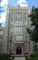
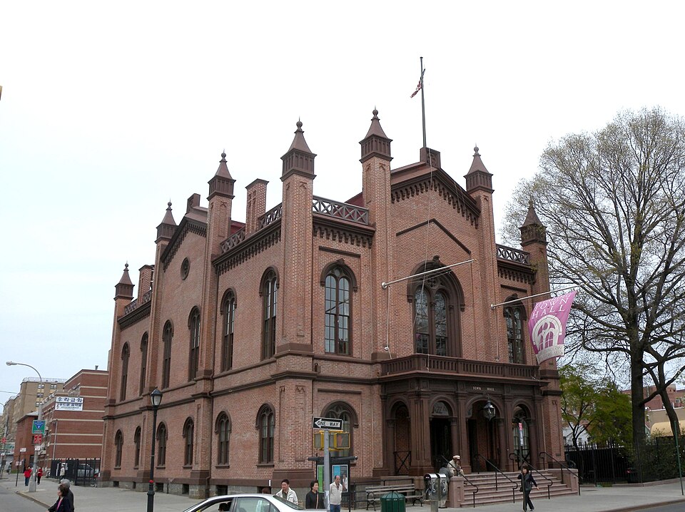
Photograph of Flushing Town Hall
Photograph by MyName ( Jim.henderson ), Public domain. Via Wikimedia Commons.

Flushing Town Hall

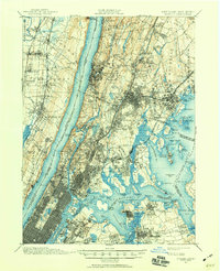
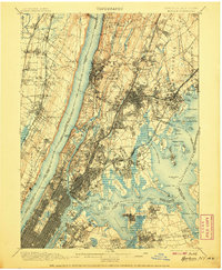
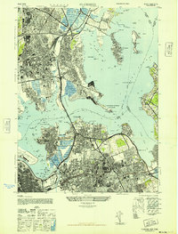
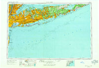
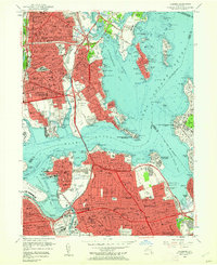
Built in 1862. Listed on the National Register of Historic Places in 1972. 15 historic topographic surveys show this location, the earliest from 1891.

From the record

“Flushing Town Hall is a performing arts center and historic town hall at 137-35 Northern Boulevard in the Flushing neighborhood of Queens in New York City. It served as the seat of government of the village of Flushing until the village became part of City of Greater New York in 1898.”

Wikipedia article Flushing Town Hall, CC BY-SA 4.0.

One of 108 National Register listings published here for Queens County · listed in 1972 · category: Building · built in 1862.

Sources: the Wikipedia article · the case file at the National Archives · the National Register database, National Park Service
The listing

  • What is counted as historic. The nomination lists 1 building as contributing to the listing.
  • Address. 137-35 Northern Blvd., New York, 11354
  • When was it listed? March 1972
  • Category. building
  • Borough. Queens
  • When was it built? 1862
  • National Register reference number. 72000904 - the number the National Park Service assigned this property when it was listed, and the key its nomination file is catalogued under at the National Archives.
Then and now

1891 to 1995

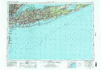
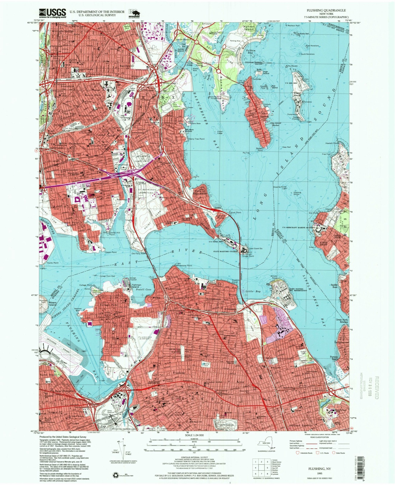
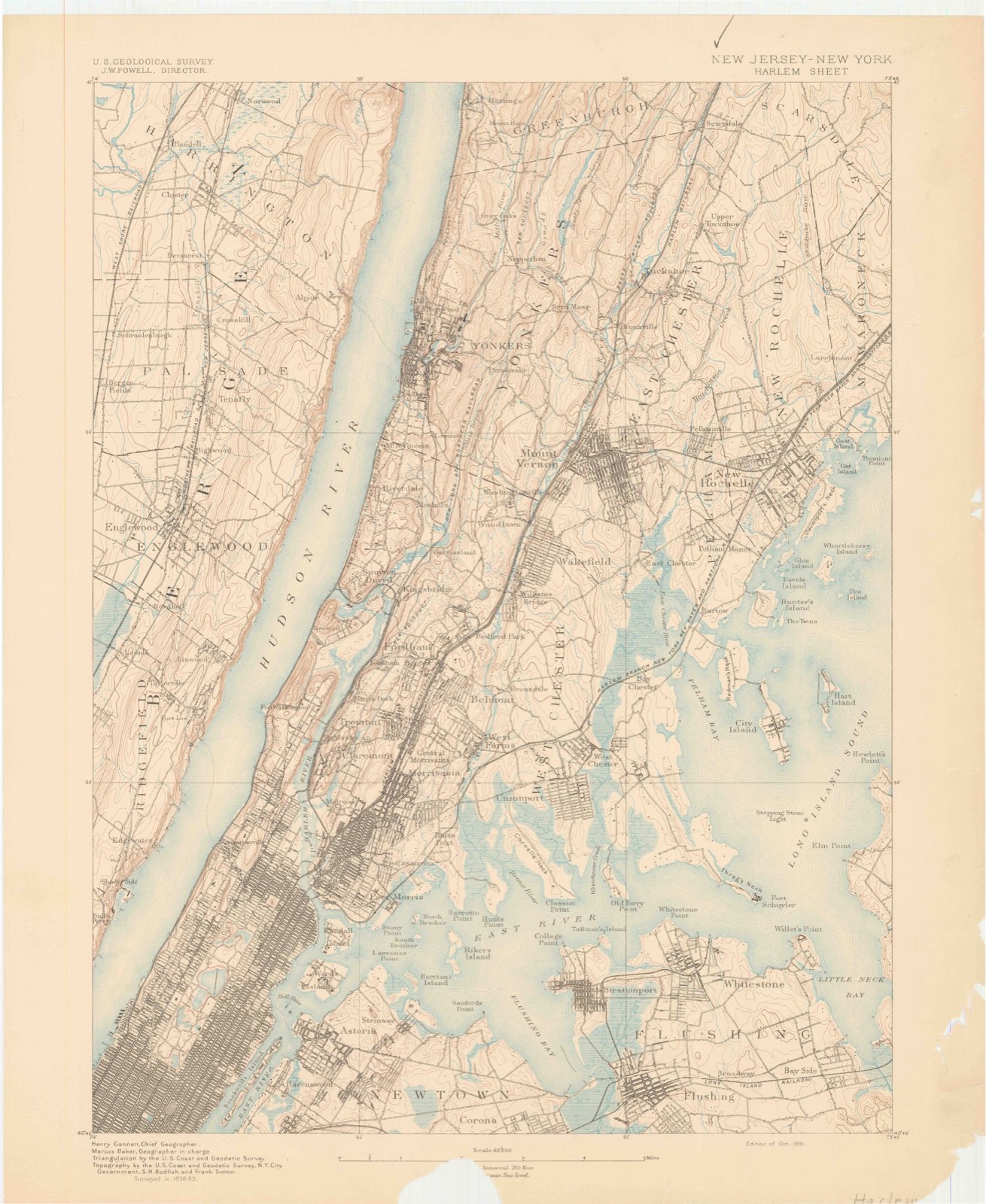
The ground this property stands on, surveyed 104 years apart. Drag the handle to wipe between them. Both sheets are United States Geological Survey originals; neither has been altered.

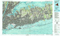
Topographic sheet covering Flushing Town Hall, surveyed 1995
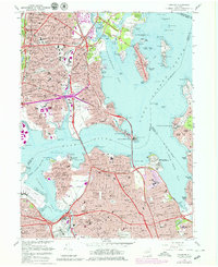
Topographic sheet covering Flushing Town Hall, surveyed 1891

Fires near this property

2,196 since 2000

Regional context, not property-specific evidence. The federal wildfire occurrence database lists 2,196 fires within 5 miles of Flushing Town Hall between 2000 and 2020, burning about 499 acres in total. 139 started naturally. 105 were recorded as arson. Distance is straight-line from the map coordinates, so a fire counted here may appear on a neighbouring settlement's page as well.

Reported cause Fires
Missing data/not specified/undetermined1578
Natural139
Smoking135
Arson/incendiarism105
Misuse of fire by a minor59
Equipment and vehicle use59
Recreation and ceremony55
Debris and open burning53
Power generation/transmission/distribution8
Railroad operations and maintenance5

The most recent of them, most recent first, with the day each was reported and the service that recorded it.

DateCause SizeReported by Name on the report
9 September 2016Recreation and ceremonyunder an acreFire Department of New YorkN/A
9 September 2015Missing data/not specified/undeterminedunder an acreFire Department of New YorkNA
9 September 2005Missing data/not specified/undeterminedunder an acreFire Department of New Yorknot named
9 September 2005Smokingunder an acreFire Department of New Yorknot named
9 September 2004Missing data/not specified/undeterminedunder an acreFire Department of New Yorknot named
8 September 2020Equipment and vehicle useunder an acreFire Department of New YorkNA

Every fire recorded in Queens County

Mines and quarries near this property

1 within 5 miles

Regional context, not property-specific evidence. The federal mineral resources record lists 1 working within 5 miles of Flushing Town Hall: 1 past producer. None of them still produces. What was taken out: Gypsum-Anhydrite. Distance is straight-line from the map coordinates, so a quarry counted here may appear on a neighbouring settlement's page as well.

Where SiteCommodity StatusRecorded
National Gypsum/ Bronx MillGypsum-AnhydritePast Producer

Every working recorded in Queens County

Maps showing this location

15 surveys

United States Geological Survey topographic sheets whose coverage includes this point. Matched by taking the coordinate the National Park Service records for this property, then testing that coordinate against the published boundary of every sheet.
Listed places nearby

6 within 8 miles

Other National Register properties close enough to walk or drive between, ordered by distance from this one. Both positions come from the same geocoding pass that matched these properties to their map sheets.

Photograph PropertyDistance Listed
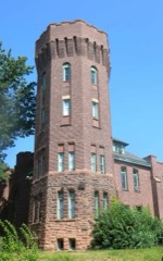
Flushing Armoryunder 500 feet1995
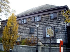
Old Quaker Meetinghouseunder 500 feet1967
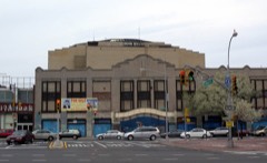
RKO Keith's Theater0.1 miles1982
Flushing High School0.2 miles1992
St. George's Church0.3 miles2008
John Bowne House0.3 miles1977

Sources for this property

National Archives recordThe nomination case file for reference 72000904 in Record Group 79.
Wikipedia articleCommunity-written account of this property, licensed CC BY-SA.
Queens CountyAll 108 listed properties in this county.

Provenance

  • Listing record. National Park Service National Register of Historic Places, listed-properties dataset, current to 2026-05-22.
  • Map join. Address geocoded through the United States Census geocoder, then tested against the published boundary of every sheet in the USGS Historical Topographic Map Collection.
  • How this page is made. Listing fields come from federal records; map-sheet coverage is a labelled coordinate-to-boundary calculation, not a source-field claim.
  • Wildfire. Short, Karen C. 2022. Spatial wildfire occurrence data for the United States, 1992-2020 [FPA_FOD_20221014]. 6th Edition. Fort Collins, CO: Forest Service Research Data Archive. https://doi.org/10.2737/RDS-2013-0009.6 Collected with United States Government funding and usable without additional permissions or fees.
  • Mines and quarries. USGS Mineral Resources Data System (MRDS) https://mrdata.usgs.gov/mrds/ A work of the United States government, no copyright under 17 U.S.C. 105.