BlockBefore
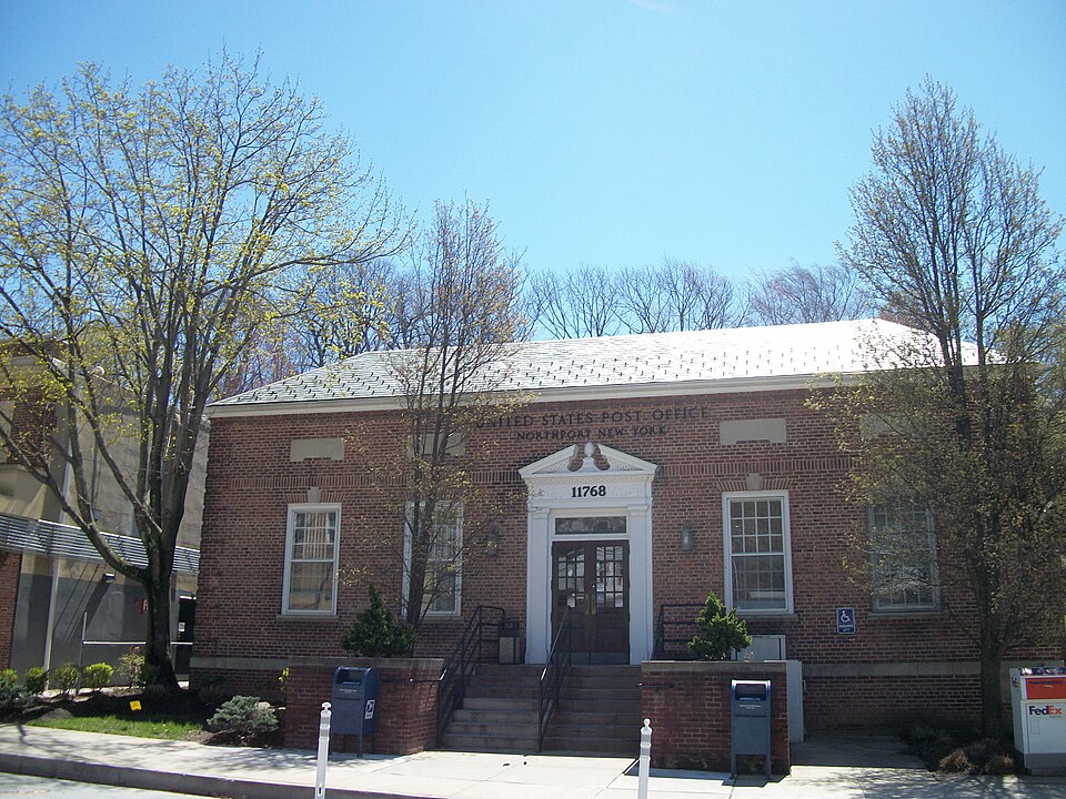
Photograph of United States Post Office
Photograph by DanTD, CC BY-SA 3.0. Via Wikimedia Commons.

US Post Office-Northport

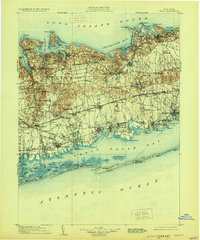
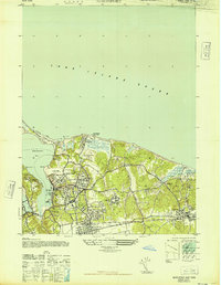
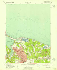
Listed on the National Register of Historic Places in 1989. 14 historic topographic surveys show this location, the earliest from 1901.

From the record

“Northport Post Office, the U.S. post office in Northport, New York, is located at 244 Main Street in Northport, New York. It serves the ZIP code 11768, which also includes Asharoken, Eaton's Neck, Vernon Valley, Middleville, and Fort Salonga.”

Wikipedia article United States Post Office (Northport, New York), CC BY-SA 4.0.

One of 338 National Register listings published here for Suffolk County · listed in 1989 · category: Building.

Sources: the Wikipedia article · the case file at the National Archives · the National Register database, National Park Service · the Wikipedia article


The listing

  • What is counted as historic. The nomination lists 1 building as contributing to the listing.
  • Listed as. US Post Office--Northport - the National Register files a house under its owner's surname.
  • Address. 244 Main St., Northport, 11768
  • When was it listed? May 1989
  • Category. building
  • Also known as. US Post Offices in New York State, 1858-1943, TR
  • Town. Huntington town
  • Architectural style. Colonial Revival architecture
  • National Register reference number. 88002356 - the number the National Park Service assigned this property when it was listed, and the key its nomination file is catalogued under at the National Archives.

Fires near this property

371 since 1992

Regional context, not property-specific evidence. The federal wildfire occurrence database lists 371 fires within 5 miles of US Post Office-Northport between 1992 and 2020, burning about 185 acres in total. 20 started naturally. 59 were recorded as arson. Distance is straight-line from the map coordinates, so a fire counted here may appear on a neighbouring settlement's page as well.

Reported cause Fires
Missing data/not specified/undetermined242
Arson/incendiarism59
Natural20
Debris and open burning14
Smoking13
Power generation/transmission/distribution6
Misuse of fire by a minor6
Recreation and ceremony5
Equipment and vehicle use4
Other causes2

The most recent of them, most recent first, with the day each was reported and the service that recorded it.

DateCause SizeReported by Name on the report
8 September 2019Missing data/not specified/undeterminedunder an acreFire Department of New YorkN/A
8 September 2010Smokingunder an acreFire Department of New Yorknot named
7 September 2007Recreation and ceremonyunder an acreFire Department of New Yorknot named
6 September 2005Missing data/not specified/undeterminedunder an acreFire Department of New Yorknot named
5 September 2015Missing data/not specified/undetermined3.3 acresFire Department of New YorkN/A
5 September 2010Missing data/not specified/undeterminedunder an acreFire Department of New Yorknot named
5 September 2010Naturalunder an acreFire Department of New Yorknot named
4 September 2010Arson/incendiarismunder an acreFire Department of New Yorknot named

Every fire recorded in Suffolk County

Mines and quarries near this property

9 within 5 miles

Regional context, not property-specific evidence. The federal mineral resources record lists 9 workings within 5 miles of US Post Office-Northport: 5 producers, 4 past producers. 5 still produce. What was taken out: Sand and Gravel, Construction. Distance is straight-line from the map coordinates, so a quarry counted here may appear on a neighbouring settlement's page as well.

Where SiteCommodity StatusRecorded
Indian Head PitSand and Gravel, ConstructionProducer
North East Mine, Inc. PitSand and Gravel, ConstructionProducer
North East Mines Sand and GravelSand and Gravel, ConstructionProducer
Park Sand and Gravel PitSand and Gravel, ConstructionPast ProducerSedimentary
R Rchleider Contracting Corp.Sand and Gravel, ConstructionProducer
Schleider PitSand and Gravel, ConstructionPast Producer
Schleider Pit and MillSand and Gravel, ConstructionPast ProducerSedimentary
West Hills PitSand and Gravel, ConstructionProducer
West Hills Pit and MillSand and Gravel, ConstructionPast ProducerSedimentary

Every working recorded in Suffolk County

Storms near this property

15 since 1998

Regional context, not property-specific evidence. The National Weather Service names Northport, the town this property stands in, in 15 storm reports between 1998 and 2025: 7 thunderstorm wind, 4 flash flood, 2 lightning, 2 hail. The reports record 1 injury. Each account below is quoted exactly as the forecast office filed it, from the NOAA Storm Events Database, and each date opens the federal record of that event.

WhenEvent Place namedHarm What the report says
June 2019LightningNorthport1 hurtPerson was struck by lightning on Ocean Avenue in the village of Northport. The person had minor injuries.
June 2008Thunderstorm WindNorthport$50,000At least 50 trees were reported downed in the area.
June 2024Thunderstorm WindEast Northport$4,000Multiple trees and wires down across East Northport NY.
June 2019Thunderstorm WindEast Northport$4,000A large tree down on Ketay Drive North.
June 2019Thunderstorm WindEast Northport$4,000Multiple trees down on Soma Lane.
June 2025Thunderstorm WindEast Northport$3,000Large tree down and uprooted on Bayley Place at Hayrick Lane in Commack NY.
June 2008Thunderstorm WindNorthport$1,000Trees were downed at Woodvine Avenue and Fox Lane.
December 2024Thunderstorm WindNorthport-Mesonet site in Asharoken measured a 53 knot wind gust.
August 2022Flash FloodNorthport-Video shows road flooding with stranded vehicle on Main Street in Northport NY.
August 2017Flash FloodNorthport-Cars were stuck in water on Locust Road in the Crab Meadow section of Northport.
October 2010Flash FloodEast Northport-Townline Rd. between Clay Pitts Rd. and Pulaski Rd in Commack, Old Northport Rd. between Indian Head Rd. and Old Commack Rd. in Kings Park and portions of Route 25A in Fort Salonga were closed due to flooding. Rainfall totals ranged up to 3.21 inches in Centerport.
August 2008HailNorthport-Quarter size hail was reported at Sunken Meadow State Park.
August 2005Flash FloodNorthport-Thunderstorms caused flash flooding of roads in Northport and Centerport. Radar rainfall estimates were 3 to 5 inches in only two hours time.
June 2015HailNorthport-no account filed
June 1998LightningNorthport-no account filed

Every storm recorded in Suffolk County

Maps showing this location

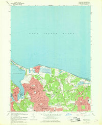
14 surveys

United States Geological Survey topographic sheets whose coverage includes this point. Matched by taking the coordinate the National Park Service records for this property, then testing that coordinate against the published boundary of every sheet.

Listed places nearby

6 within 8 miles

Other National Register properties close enough to walk or drive between, ordered by distance from this one. Both positions come from the same geocoding pass that matched these properties to their map sheets.

Photograph PropertyDistance Listed
St. Paul's Methodist Episcopal Churchunder 500 feet2021
Northport Public Library0.2 miles1996
Stanley H. Lowndes House0.5 miles2019
Charles Van Iderstine Mansion0.8 miles1985
William K. Vanderbilt Estate-Eagles Nest1.1 miles2021
John Harned House1.3 miles1985

Sources for this property

National Archives recordThe nomination case file for reference 88002356 in Record Group 79.
Wikipedia articleCommunity-written account of this property, licensed CC BY-SA.
Suffolk CountyAll 338 listed properties in this county.

Provenance

  • Listing record. National Park Service National Register of Historic Places, listed-properties dataset, current to 2026-05-22.
  • Map join. Address geocoded through the United States Census geocoder, then tested against the published boundary of every sheet in the USGS Historical Topographic Map Collection.
  • How this page is made. Listing fields come from federal records; map-sheet coverage is a labelled coordinate-to-boundary calculation, not a source-field claim.
  • Wildfire. Short, Karen C. 2022. Spatial wildfire occurrence data for the United States, 1992-2020 [FPA_FOD_20221014]. 6th Edition. Fort Collins, CO: Forest Service Research Data Archive. https://doi.org/10.2737/RDS-2013-0009.6 Collected with United States Government funding and usable without additional permissions or fees.
  • Mines and quarries. USGS Mineral Resources Data System (MRDS) https://mrdata.usgs.gov/mrds/ A work of the United States government, no copyright under 17 U.S.C. 105.
  • Storms. NOAA National Centers for Environmental Information, Storm Events Database https://www.ncei.noaa.gov/stormevents/ A work of the United States government, no copyright under 17 U.S.C. 105. Narratives are quoted verbatim from the National Weather Service report and are not edited or summarised.