BlockBefore
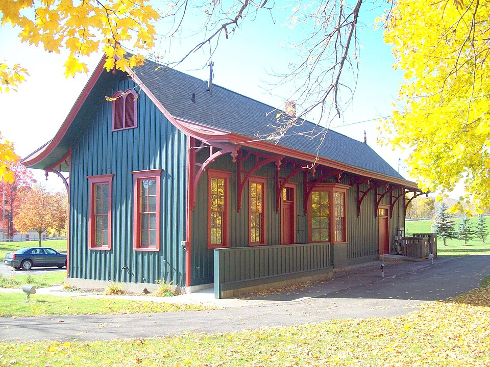
Photograph of Painted Post
Photograph by Pubdog, Public domain. Via Wikimedia Commons.

Delaware, Lackawanna & Western Railroad Station

Built in http (Renaissance Revival architecture). Listed on the National Register of Historic Places in 1991. 8 historic topographic surveys show this location, the earliest from 1899.

From the record

“Painted Post station is a historic railway station at Painted Post in Steuben County, New York. It was constructed in 1881-1882 as a passenger and freight depot for the Delaware, Lackawanna and Western Railroad.”

Wikipedia article Painted Post station, CC BY-SA 4.0.

One of 63 National Register listings published here for Steuben County · listed in 1991 · category: Building · built in http, Renaissance Revival architecture.

Sources: the Wikipedia article · the case file at the National Archives · the National Register database, National Park Service
The listing

  • What is counted as historic. The nomination lists 1 building as contributing to the listing.
  • Address. Jct. of Steuben St. and Victory Hwy., Painted Post, 14513
  • When was it listed? November 1991
  • Category. building
  • When was it built? http
  • Architectural style. Renaissance Revival architecture
  • National Register reference number. 91001674 - the number the National Park Service assigned this property when it was listed, and the key its nomination file is catalogued under at the National Archives.

Storms near this property

15 since 1994

Regional context, not property-specific evidence. The National Weather Service names Painted Post, the town this property stands in, in 15 storm reports between 1994 and 2025: 9 thunderstorm wind, 4 hail, 2 flash flood. No death or injury is recorded in these reports. Each account below is quoted exactly as the forecast office filed it, from the NOAA Storm Events Database, and each date opens the federal record of that event.

WhenEvent Place namedHarm What the report says
August 2018Thunderstorm WindPainted Post$10,000Thunderstorm winds blew down trees and wires.
June 2017Thunderstorm WindPainted Post$6,000A thunderstorm moved across the region and became severe. This thunderstorm produced severe winds and knocked over trees. Trees were also knocked over in the locations of Riverside and Hornby.
August 2025Flash FloodPainted Post$5,000Several roadways were reported to be flooded in Painted Post.
August 2025Flash FloodPainted Post$5,000Hodgmans Creek was out of its banks and flooding nearby roads.
July 2007Thunderstorm WindPainted Post$5,000Structural damage occurred to buildings.
July 1994Thunderstorm WindPainted Post$5,000no account filed
June 2024Thunderstorm WindPainted Post$3,000Strong thunderstorm winds knocked down trees and wires over a road.
April 2011Thunderstorm WindPainted Post$2,000Large tree limbs were broken in the Painted Post area.
August 2017Thunderstorm WindPainted Post$1,000A thunderstorm moved across the region and became severe. This thunderstorm produced severe winds and knocked over a tree onto Victory Highway.
June 2007Thunderstorm WindPainted Post-Several trees were knocked down.
July 2007Thunderstorm WindPainted Post-Large branches were broken.
May 2007HailPainted Post-no account filed
July 2007HailPainted Post-no account filed
August 2007HailPainted Post-no account filed

Every storm recorded in Steuben County

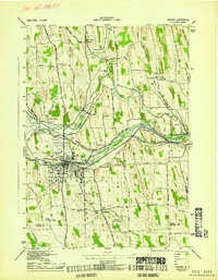
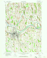
Maps showing this location

8 surveys

United States Geological Survey topographic sheets whose coverage includes this point. Matched by taking the coordinate the National Park Service records for this property, then testing that coordinate against the published boundary of every sheet.

Sources for this property

National Archives recordThe nomination case file for reference 91001674 in Record Group 79.
Wikipedia articleCommunity-written account of this property, licensed CC BY-SA.
Steuben CountyAll 63 listed properties in this county.

Provenance

  • Listing record. National Park Service National Register of Historic Places, listed-properties dataset, current to 2026-05-22.
  • Map join. Address geocoded through the United States Census geocoder, then tested against the published boundary of every sheet in the USGS Historical Topographic Map Collection.
  • How this page is made. Listing fields come from federal records; map-sheet coverage is a labelled coordinate-to-boundary calculation, not a source-field claim.
  • Storms. NOAA National Centers for Environmental Information, Storm Events Database https://www.ncei.noaa.gov/stormevents/ A work of the United States government, no copyright under 17 U.S.C. 105. Narratives are quoted verbatim from the National Weather Service report and are not edited or summarised.