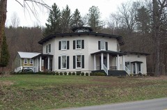
Block
BlockFrom the record
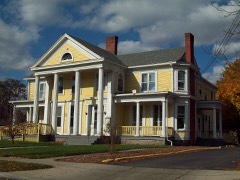
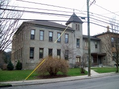
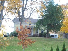
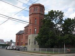
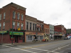
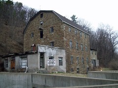
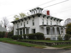
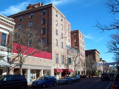
63 National Register listings published here.
Sources: the National Register database, National Park Service
188 topographic sheets cover 136 settlements here, and 63 properties are on the National Register of Historic Places.
63 National Register listings published here.
Sources: the National Register database, National Park Service
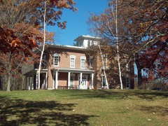
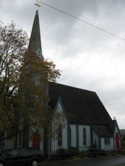
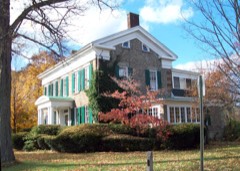
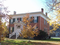
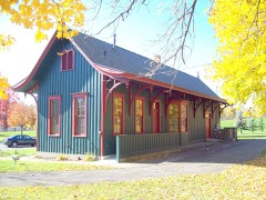
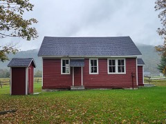
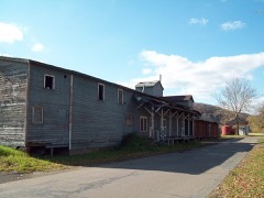
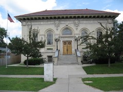
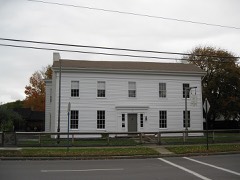
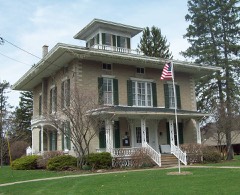
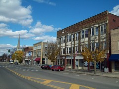
Every property in this county listed on the National Register of Historic Places, with the year it was listed and the federal nomination document.
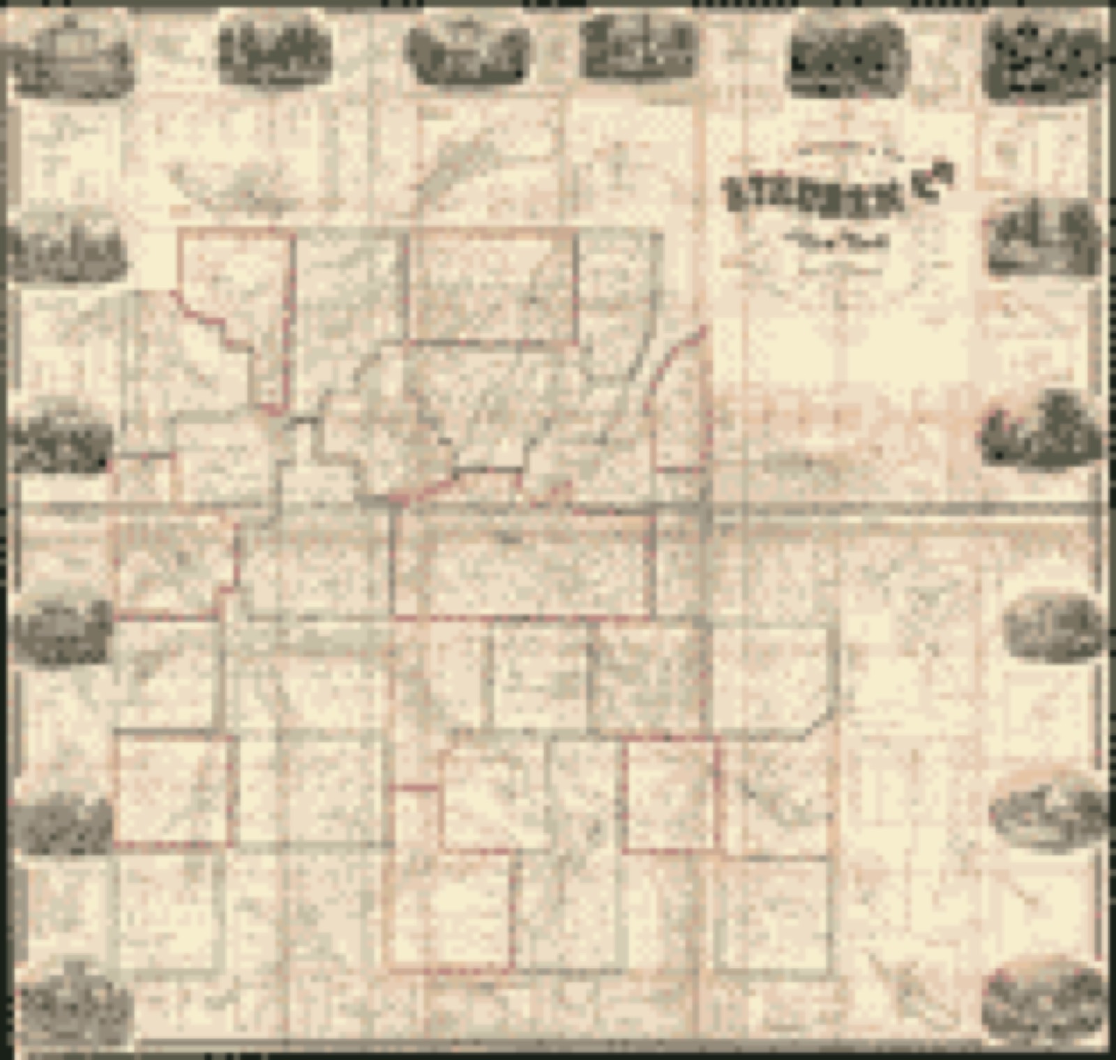
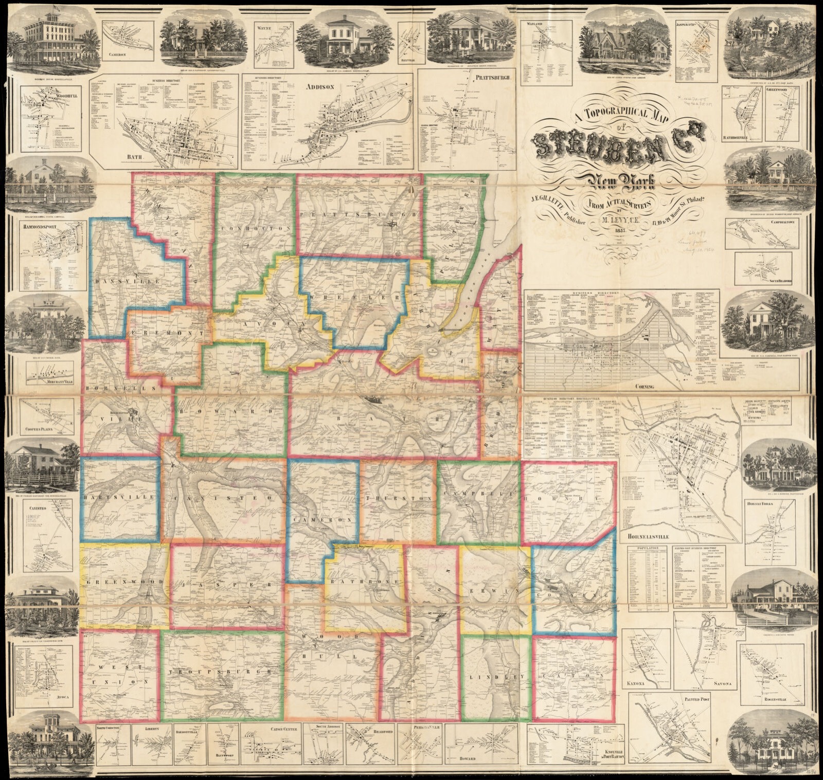
Drawn when these were printed as single large sheets: the town seen from the air, and the county divided into its farms with every owner named. Each opens the original at the Library of Congress.

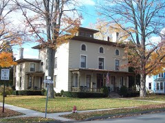
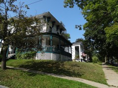
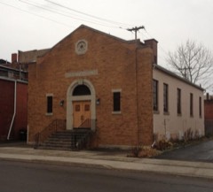
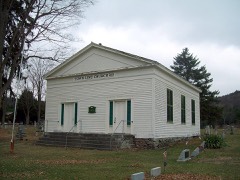
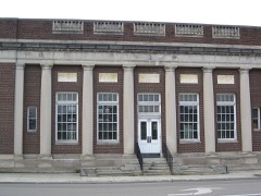
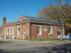
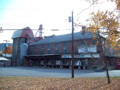
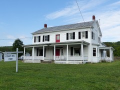
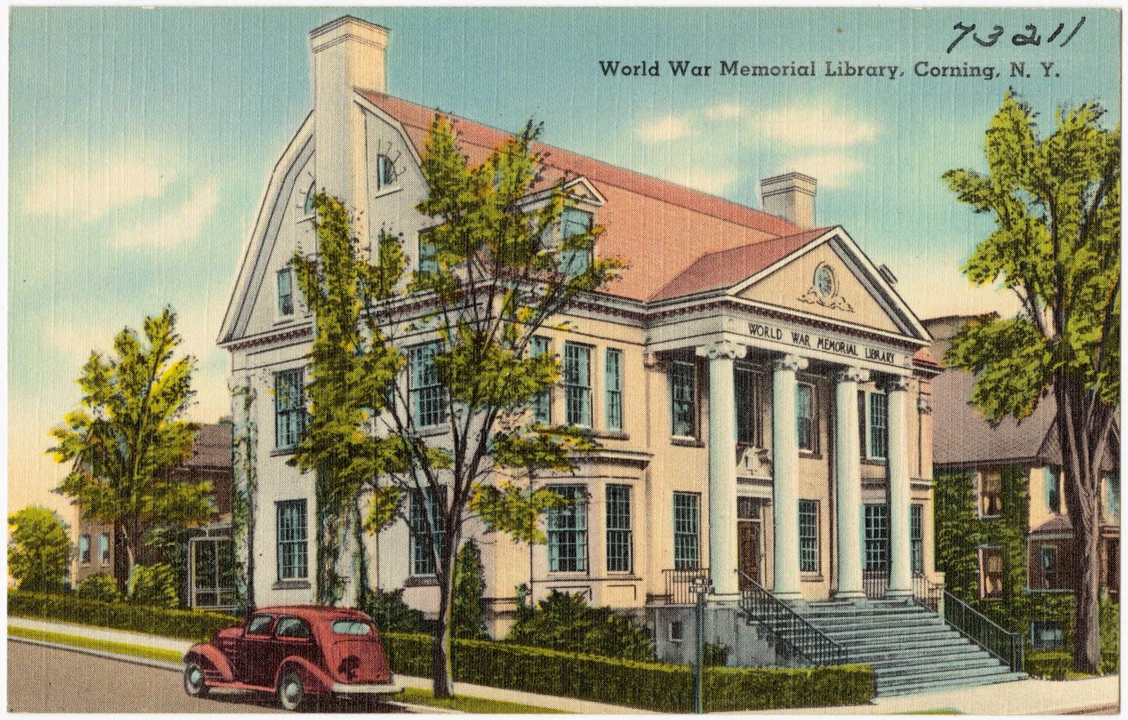
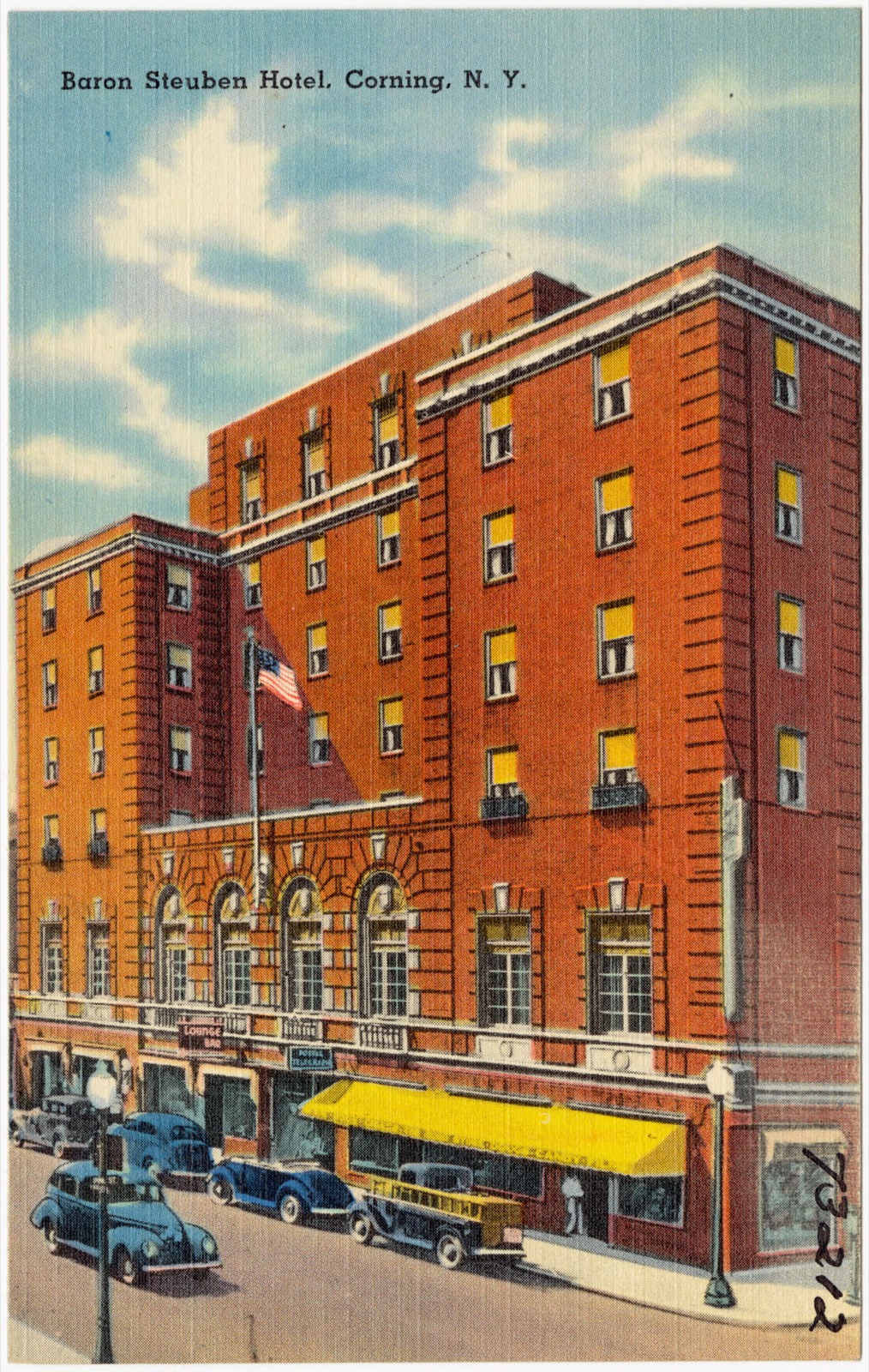
Selected from the Digital Public Library of America's 41 image records catalogued for this county. Every one shown here carries a public-domain status or a licence that permits reuse on a site that carries advertising; non-commercial, share-alike and restricted images are excluded. The selection is spread across the county's towns (at most eight per town), so no single institution's bulk upload crowds out the rest. Each opens the holding library's record, and the complete set at the Digital Public Library of America is one click away.



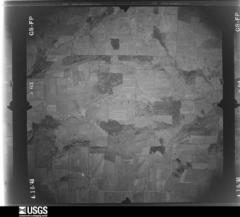
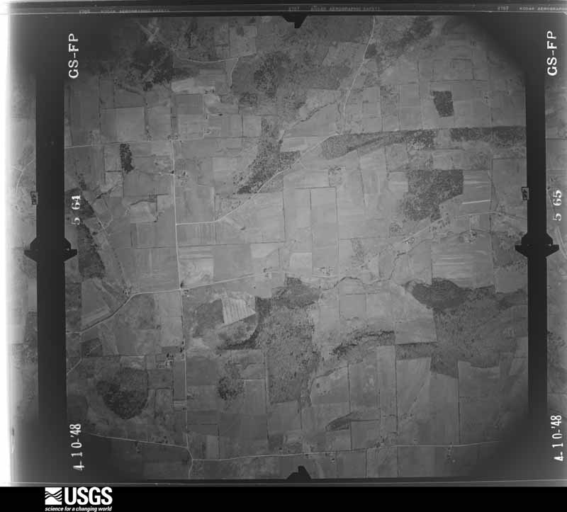
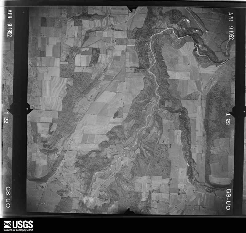
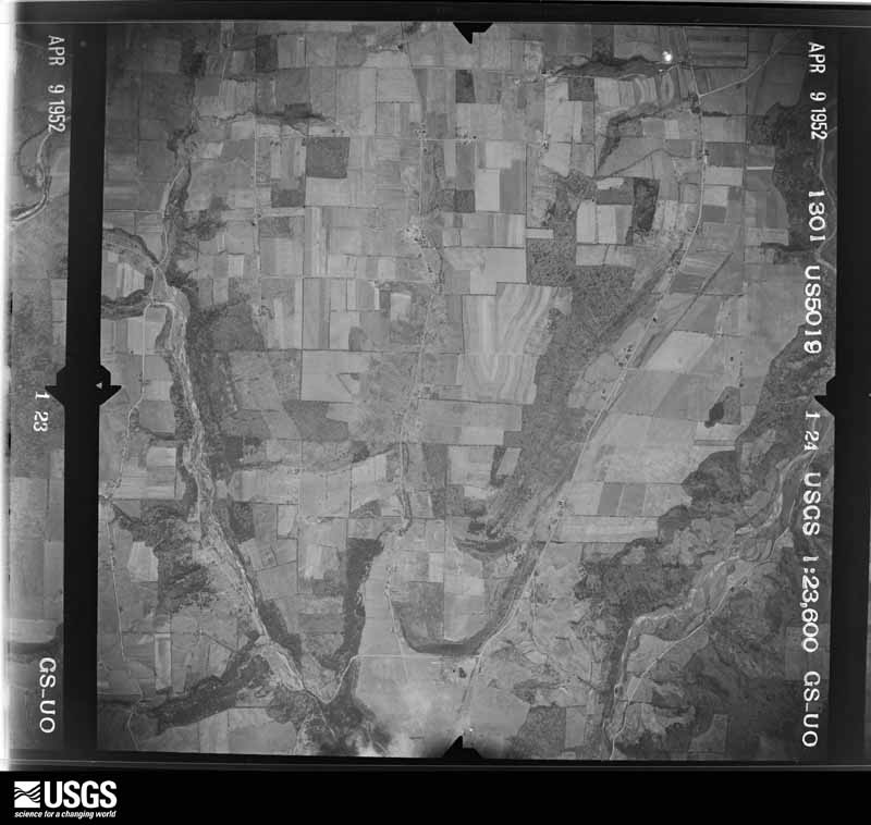
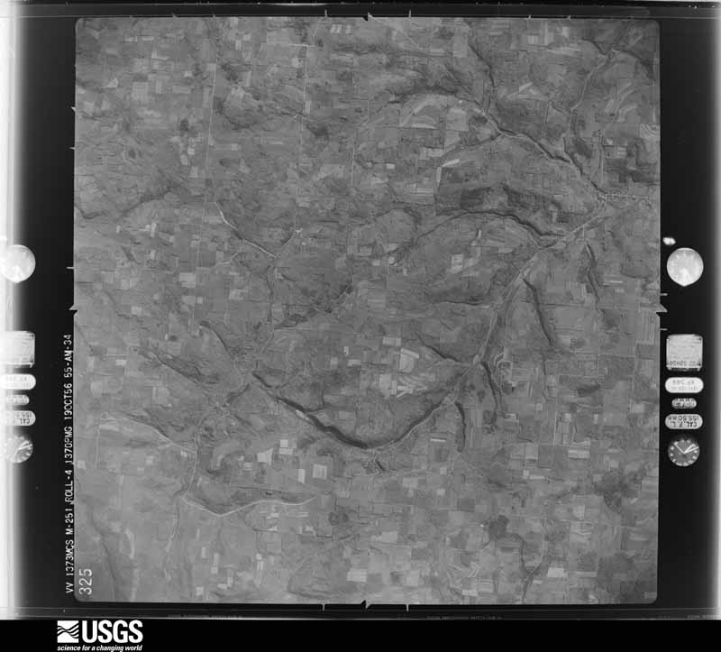
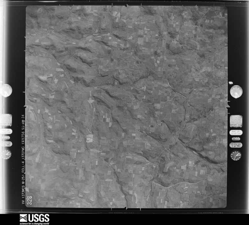
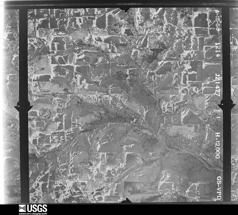
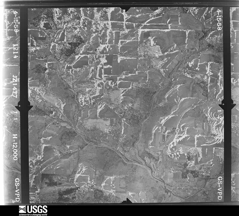
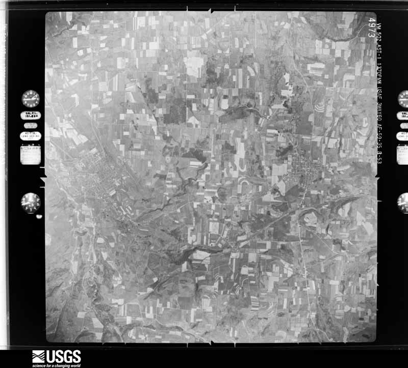
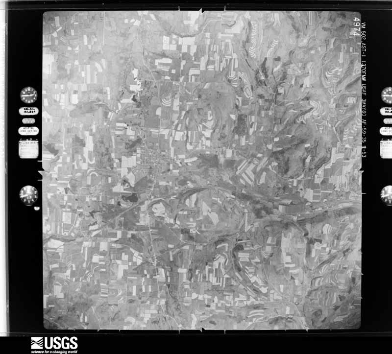
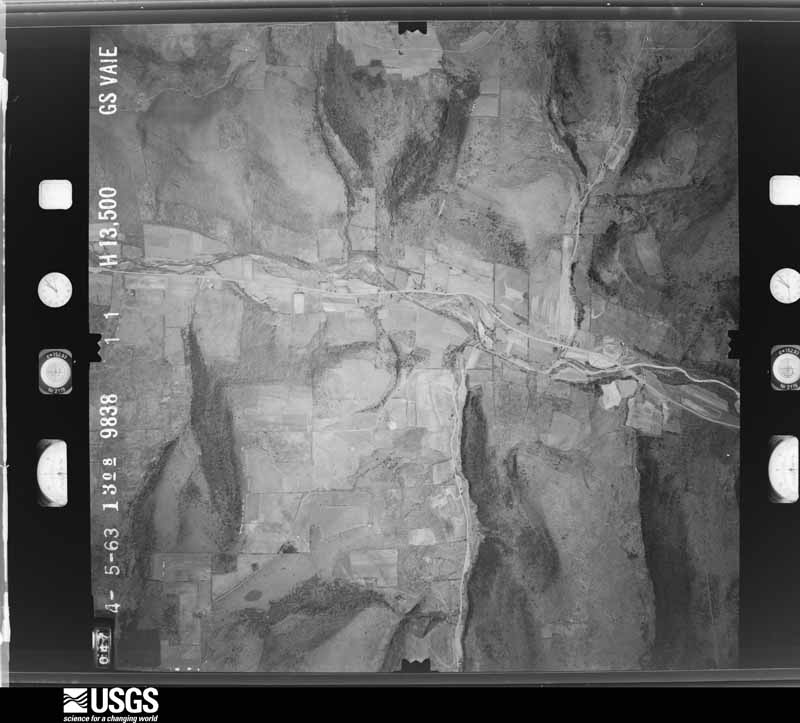
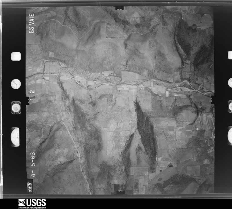
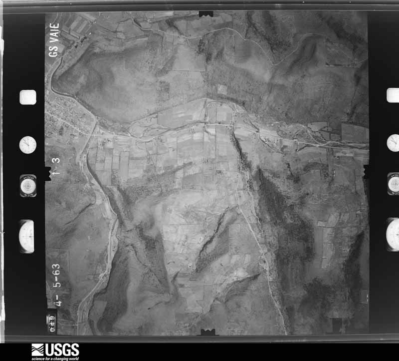
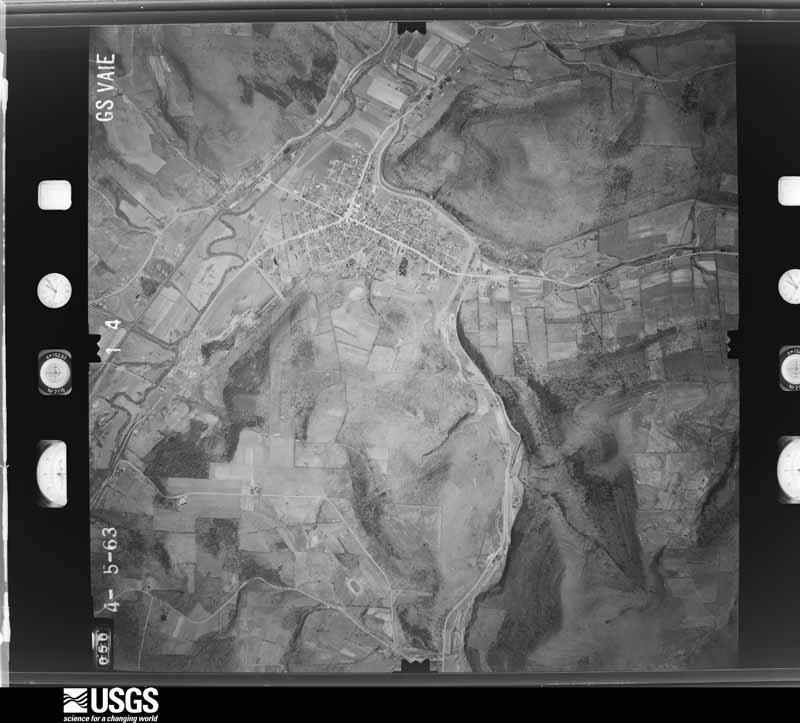
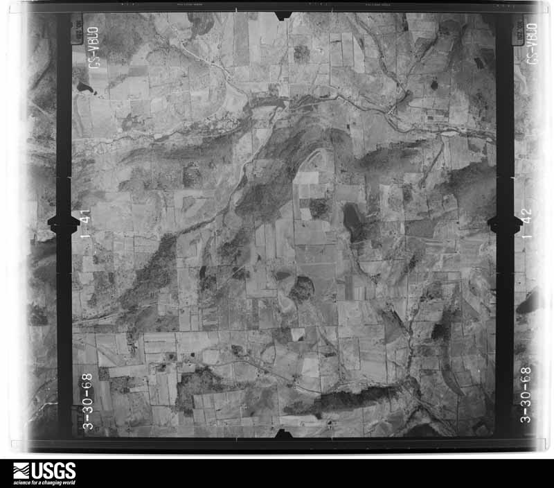
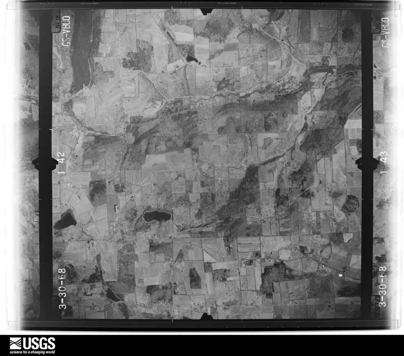
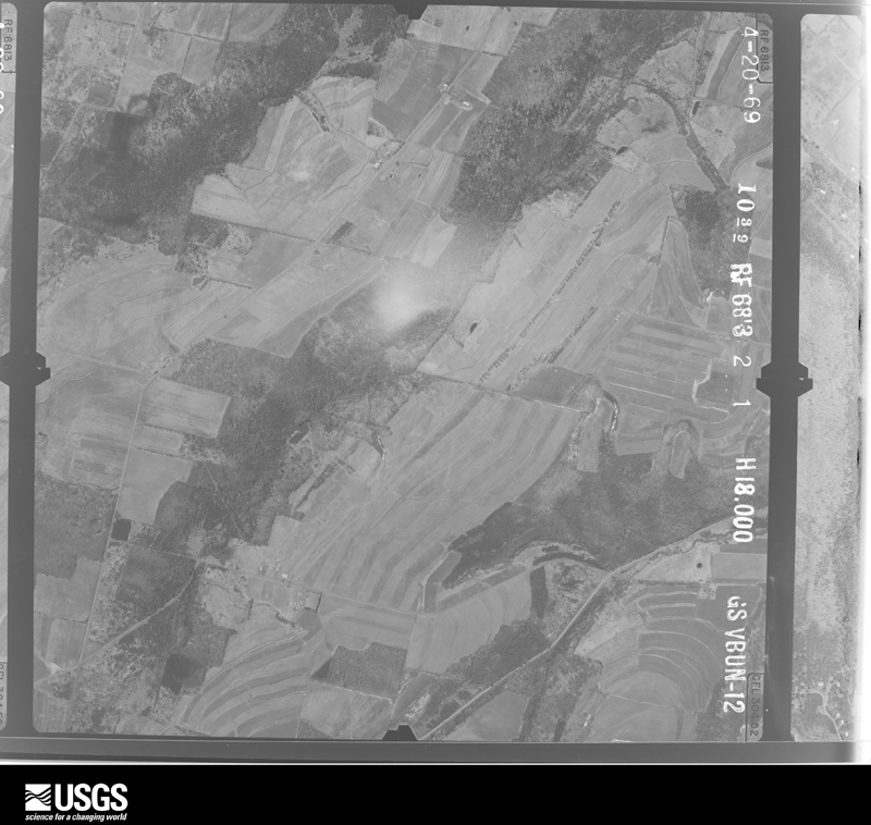
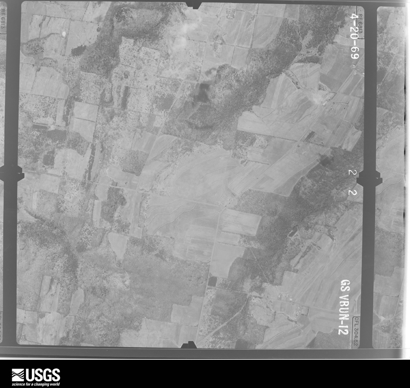
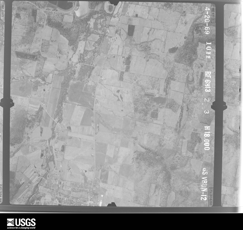
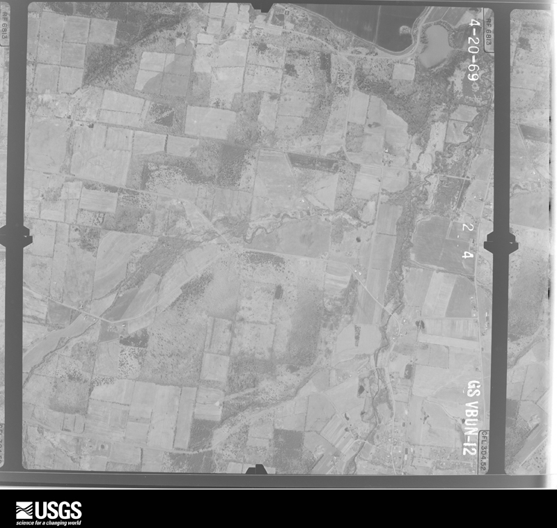
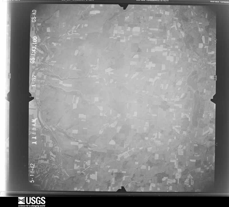
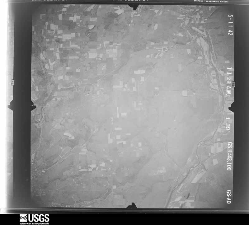
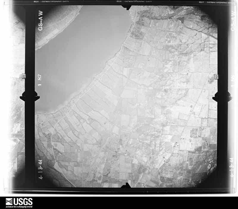
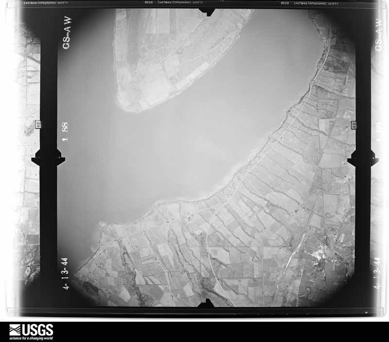
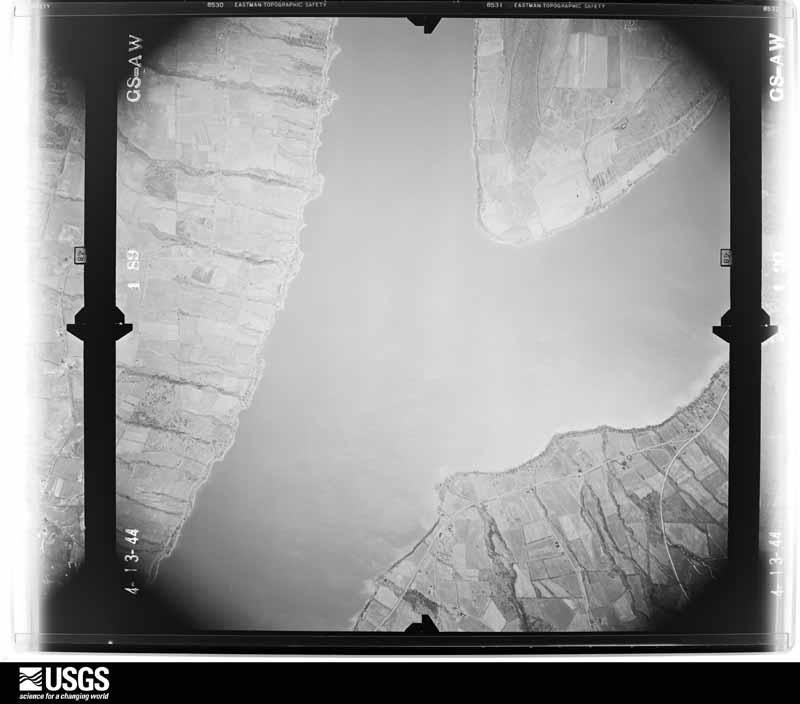
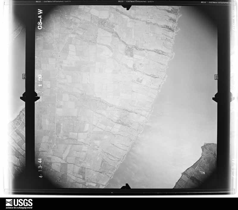
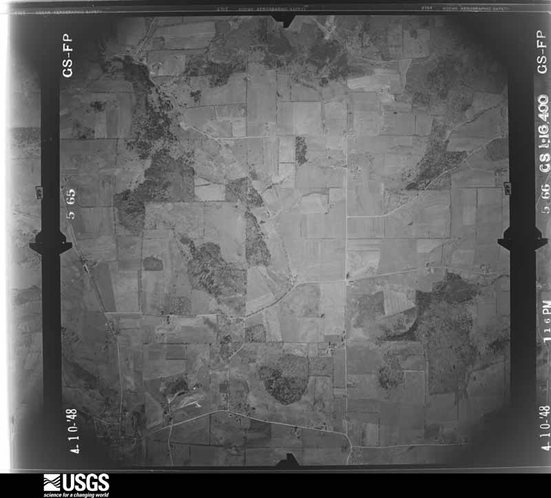
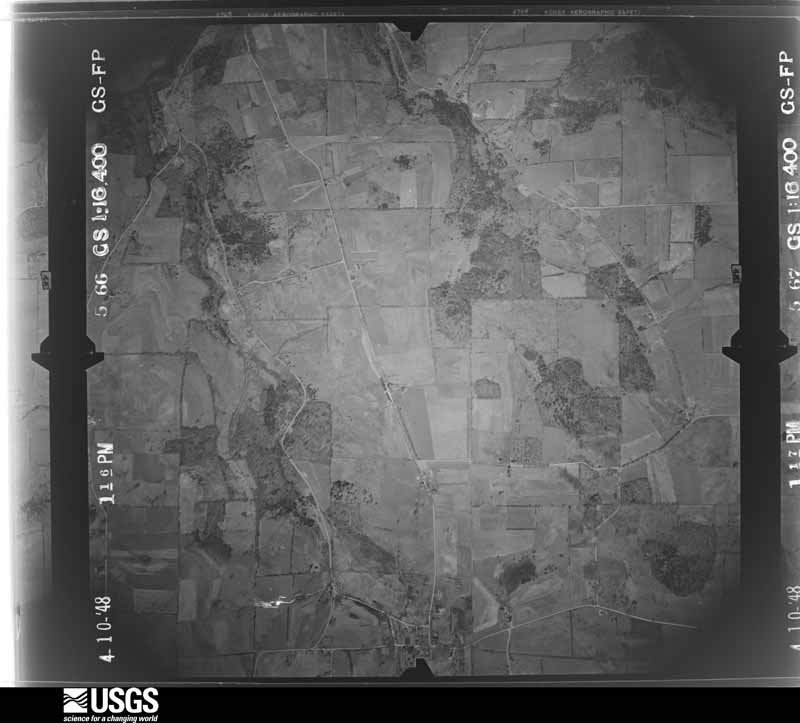
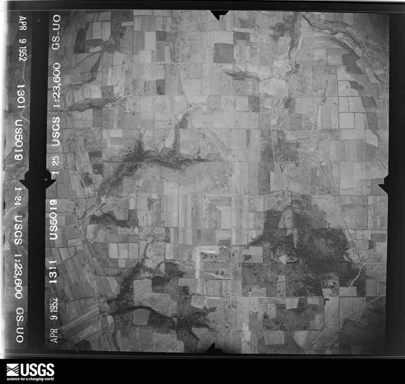
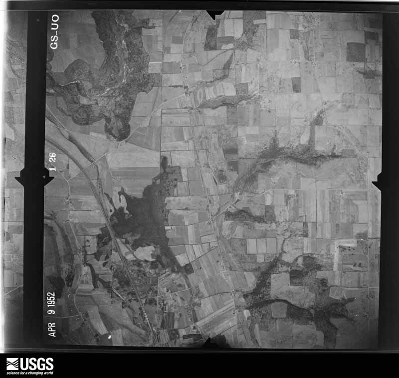
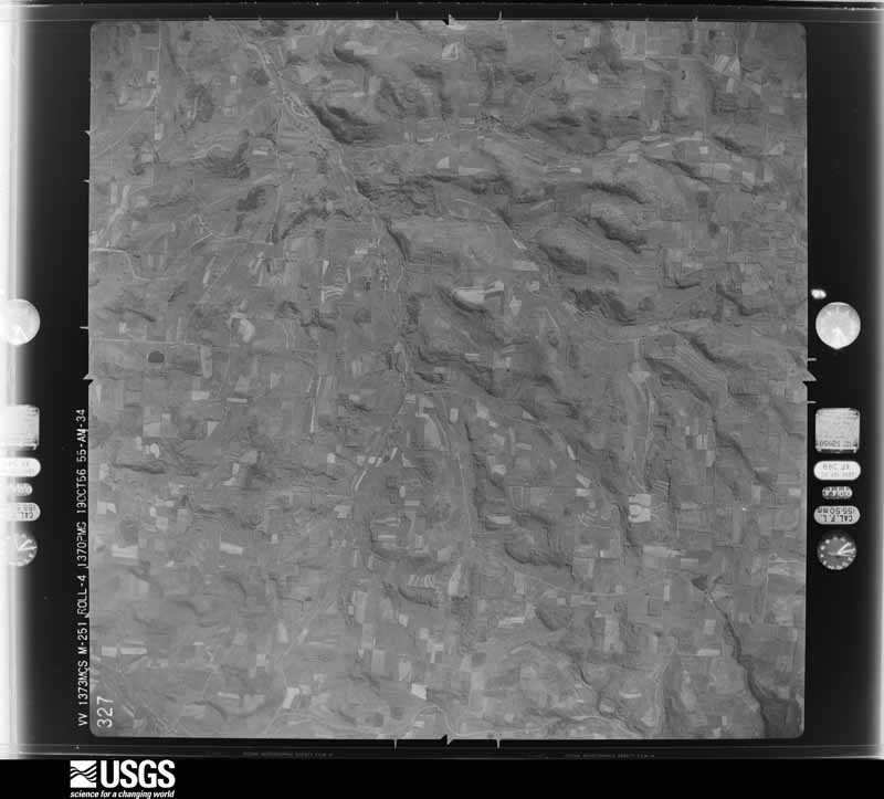
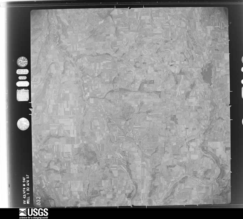
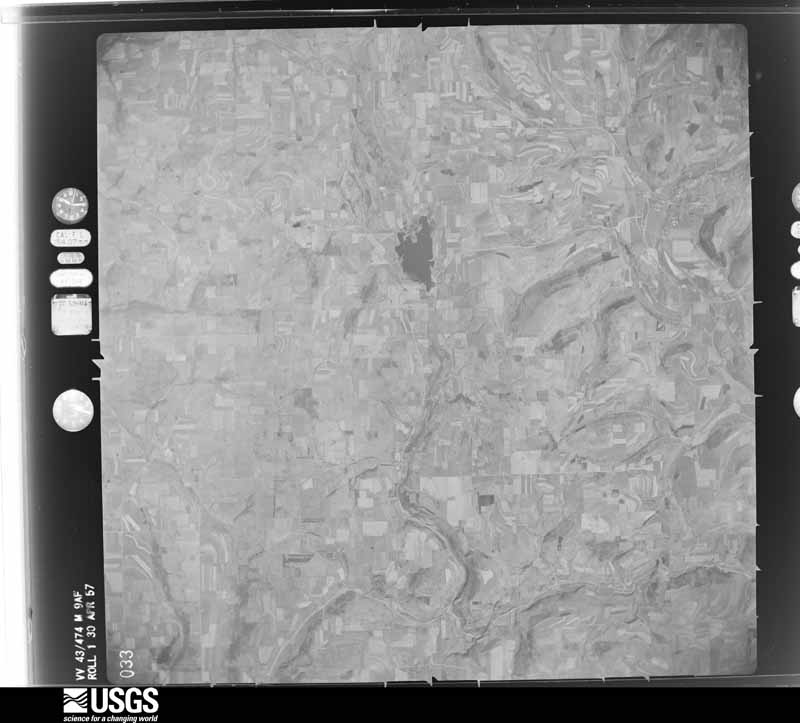
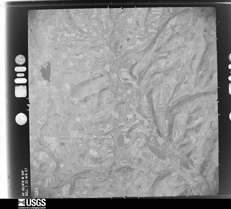
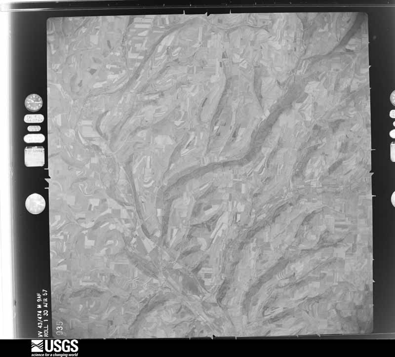
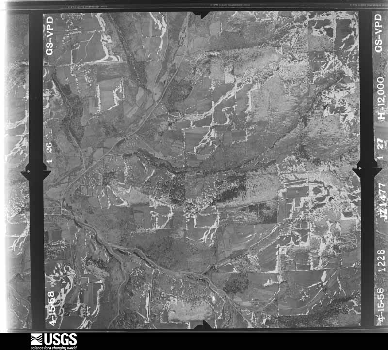
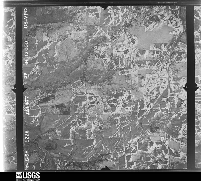
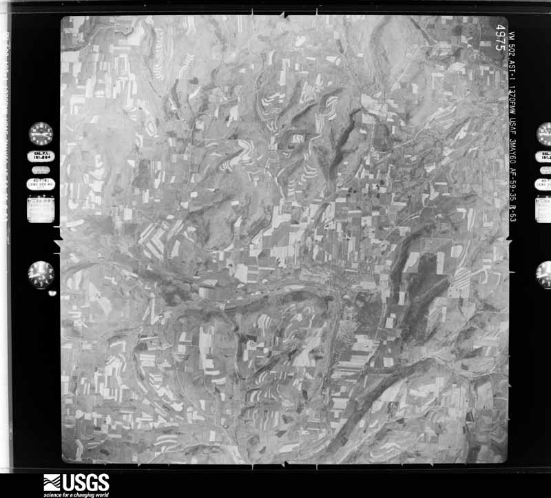
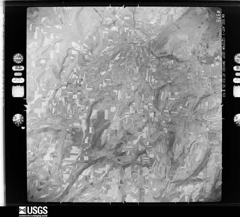
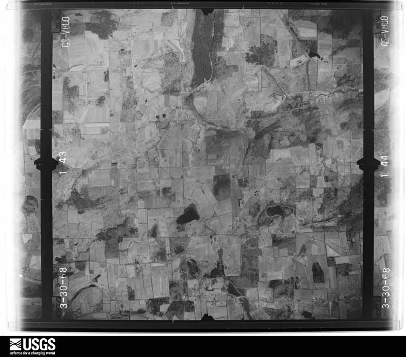
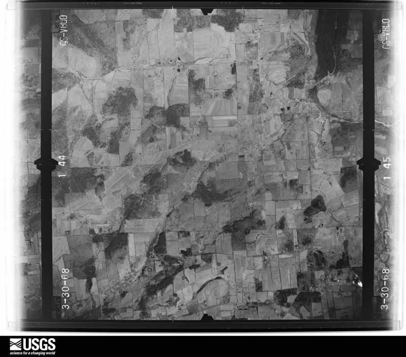
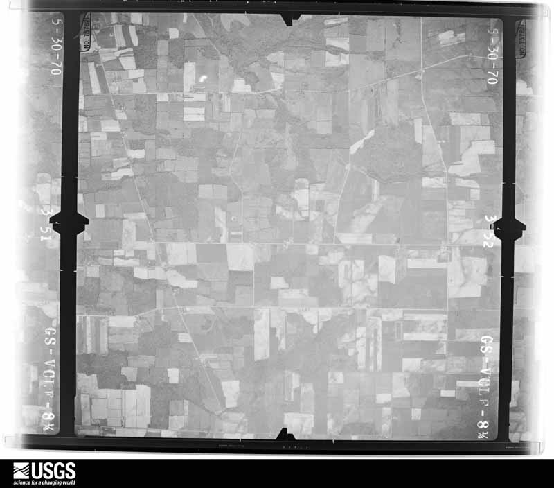
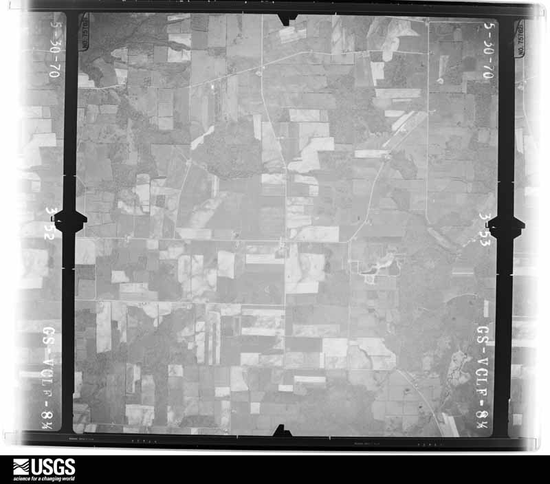
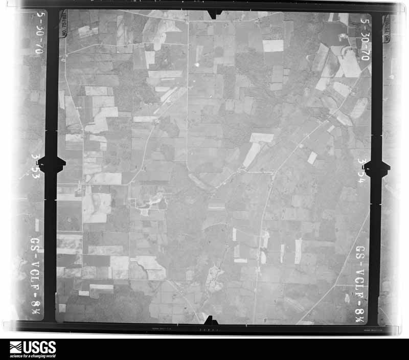
Flown by the U.S. Geological Survey between 1937 and 1989, the Aerial Photo Single Frames collection is the definitive mid-century view of the land: fields, roads and rivers as the camera saw them. The Survey holds 2,888 frames inside the rectangle that bounds this county; the 48 frames below were taken over the county itself, chosen across the decades of flights (at most four a year from that rectangle), so one flight cannot crowd out the rest. The full set is free to browse and download at EarthExplorer under the dataset Aerial Photo Single Frames.




The thermometers that kept this county's weather, and the gages that measured the flow of its streams, as the federal records hold them. The extremes below are measured values from those records, not estimates.
Who lived here in 1950, one enumeration district at a time, as the Census Bureau described each district. Each row opens its official National Archives result, with Population Schedules and ED Maps available there.
Every wildfire the federal occurrence database records inside this county: 1,418 of them, burning about 2,764 acres. 109 started naturally and 157 were recorded as arson. Each settlement page carries the fires within five miles of it.
| Reported cause | Fires |
|---|---|
| Missing data/not specified/undetermined | 660 |
| Debris and open burning | 259 |
| Arson/incendiarism | 157 |
| Natural | 109 |
| Equipment and vehicle use | 84 |
| Smoking | 69 |
| Power generation/transmission/distribution | 29 |
| Recreation and ceremony | 26 |
| Misuse of fire by a minor | 21 |
| Other causes | 2 |
| Railroad operations and maintenance | 2 |
The five largest, by the area the report gives. Two of them were set deliberately.
| Date | Cause | Size | Reported by | Name on the report |
|---|---|---|---|---|
| 14 April 1999 | Arson/incendiarism | 150 acres | New York Forest Rangers | not named |
| 3 April 1995 | Arson/incendiarism | 130 acres | New York Forest Rangers | not named |
| 29 April 1999 | Missing data/not specified/undetermined | 130 acres | New York Forest Rangers | not named |
| 29 March 1999 | Debris and open burning | 60 acres | New York Forest Rangers | not named |
| 27 March 1995 | Debris and open burning | 52 acres | New York Forest Rangers | not named |
| 13 April 2015 | Missing data/not specified/undetermined | 52 acres | Green Mountain National Forest | HELMER CREEK |
| 28 March 1997 | Debris and open burning | 50 acres | New York Forest Rangers | not named |
| 2 May 2018 | Power generation/transmission/distribution | 44 acres | New York Forest Rangers | HANYON FIRE |
Every settlement page carries the fires within five miles of it - see the settlement index below.
The NOAA Storm Events Database holds 752 reports for this county, causing 2 deaths, 9 injuries and about $139,320,850 in recorded property damage. Each settlement page carries the reports that name it.
| Kind of event | Reports |
|---|---|
| Thunderstorm Wind | 416 |
| Flash Flood | 177 |
| Hail | 131 |
| Tornado | 9 |
| Lightning | 9 |
| Funnel Cloud | 5 |
| Flood | 3 |
| Heavy Rain | 2 |
The most serious of them, by death, then injury, then recorded damage. The accounts are quoted exactly as the forecast office filed them.
| When | Event | Place named | Harm | What the report says |
|---|---|---|---|---|
| August 1972 | Tornado (F1) | not stated | 1 killed, 2 hurt, $25,000 | no account filed |
| August 2021 | Flash Flood | Freeman | 1 killed, 1 hurt, $15,000 | A 31-year-old mother of one was killed when flood waters forced her car from State Route 417 in Steuben County on Wednesday night. The woman was driving a Ford Escape when severe flash flooding compromised the road, and forced the vehicle off the roadway between South Addison and Woodhull and into the Canisteo River. She was pronounced dead at the scene. |
| July 2003 | Thunderstorm Wind | Woodhull | 2 hurt, $500,000 | Very strong thunderstorm winds estimated between 80 and 90 mph destroyed a trailer home, damaged the roof of a house and barn and knocked down the wall of one other structure. Two people lived in the trailer home. One person just left the trailer and was in the front yard while the other was in a parked truck in the driveway when the storm hit. The truck was turned over. Both people received minor injuries. 40 to 50 trees were uprooted or sheared off. The area of most intense damage was a half mile in length and up to 200 yards wide. 1500 electric customers lost power. |
| July 2002 | Thunderstorm Wind | Hornell | 2 hurt, $2,000 | Trees and wires were downed in Hornell and North Hornell. 600 customers lost electric power. Two people were injured from a falling tree branch in Hornell at the corner of Main and Collier Streets. The male victim suffered a shoulder injury while the female victim suffered head and neck injuries. The woman was treated and released at the hospital. In Bath a tree fell on a barn and another tree fell on County Route 24. A tree also fell in Almond. |
| August 2022 | Lightning | Bath Dickinsons Fld | 1 hurt | An 80 year old man was injured after getting struck by lightning from a non-severe passing storm. |
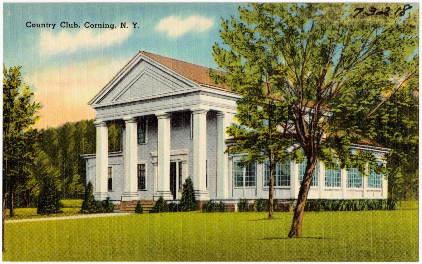
| May 2000 | Thunderstorm Wind | Corning | 1 hurt | Thunderstorm winds brought trees down. There was also some structural damage to houses from falling trees. Many trees were uprooted at the Corning Country Club where a tree fell onto a tent giving minor injuries to one man. Scoreboards set up for a golf tournament were also damaged. Sheet metal building material was ripped from the canopy of a store. |
| August 2024 | Flash Flood | Greenwood | $35,000,000 | Widespread and massive flash flooding of Tuscarora Creek and surrounding tributaries devastated roads, homes and businesses between, and including, the villages of Greenwood and Jasper. Homes were pushed off foundations and were seen floating downstream smashing into area bridges. Dozens of people were rescued from flooded homes and vehicles and displaced in temporary shelters for weeks. |
| August 2024 | Flash Flood | Hedgesville | $30,000,000 | Widespread and massive flash flooding of Tuscarora Creek and surrounding tributaries devastated roads, homes and businesses between, and including, the villages of Woodhull and Addison. Homes were pushed off foundations and were seen floating downstream smashing into area bridges. Dozens of people were rescued from flooded homes and vehicles and displaced in temporary shelters for weeks. |
| August 2021 | Flash Flood | Jasper | $25,000,000 | Significant flash flooding destroyed Troupsburg Junior-Senior High School. |
| November 1996 | Flash Flood | Countywide | $14,400,000 | no account filed |
| July 2003 | Flash Flood | Southwest Portion | $5,000,000 | The first indications of severe flooding occurred in the southwest portion of the Steuben county at around 145 pm EST from excessive rainfall. Over two days, between 6"-8" of rain fell in a southwest to northeast band across the southern half of the county. 2 to 4 inches of rain fell from nearly stationary thunderstorms in less than 3 hours during the early afternoon. Several rounds of thunderstorms went through on the 21st and 22nd. More than 20 state, county and town roads were closed or impassible including Interstate 86. Steuben County along with the Town of Campbell and Village of Arkport declared States of Emergency and requested no unnecessary travel. Interstate 86 was closed between exits 43 (Painted Post) and 42 (Coopers Plains) due to water over the Bridge at Meads Creek. Traffic was re-routed to State Route 415 until flash flood waters covered State Route 415 which stopped all east/west bound traffic through Steuben County. Thousands of vehicles on this main route were re-routed nearly 60 miles from Exit 52 in Horseheads to Exit 40 in Savona over alternate State routes. The Greater Steuben Chapter of the American Red Cross established an overnight shelter on the evening of July 22, 2003 and housed over 60 people. |
| January 1996 | Flash Flood | Countywide | $4,400,000 | no account filed |
| August 2021 | Flash Flood | Woodhull | $4,000,000 | Severe flash, and rapid onset river flooding destroyed many parts of the Town of Woodhull, including residences, businesses and infrastructure. |
| September 2004 | Flash Flood | Woodhull | $3,000,000 | Flash flooding occurred in Tuscarora, Woodhull, Addison, Jasper, Rathbone, Canisteo, Erwin, Buena Vista, and Bath due to heavy rain. Rainfall amounts from the 8th into the 9th were 2.5 inches to around 5 inches in southeast Steuben County. The heavy rain was aided by tropical moisture from the remnants of hurricane Frances. Many streams and creeks were out of their banks. Several bridges were washed out or damaged beyond repair. The Freeman Bridge on County Route 85 near South Addison buckled when the foundation was disturbed. School was cancelled in a few towns. The worst hit area was along Route 417 and the Tuscarora Creek in the towns of Woodhull and Tuscarora. The road was closed and underwater. Several people were evacuated when water surrounded their homes. Several other roads were closed. Many homes had flooded basements. The state declared Steuben County a disaster area. A state of emergency was declared for the towns of Rathbone, Addison, Tuscarora, and Woodhull. The Tuscarora Creek at Addison rose over 11 feet in less than 12 hours. Campbell Creek in the town of Bath overflowed forcing the evacuation of one house's occupants on Campbell Creek Road. |
| August 2004 | Flash Flood | Addison | $2,000,000 | Heavy rain caused flooding of numerous roads in the towns of Addison, Campbell, and Thurston. A trailer park flooded starting at 3:40 PM in Addison. The park was on the corner of the County Route 119 and County Route 2. Rainfall amounts were 2 to 4 inches. |
| August 2021 | Flash Flood | Troupsburg | $1,500,000 | Severe flash flooding occurring over several roads, and within numerous residences and businesses around Troupsburg. |
| August 2021 | Flash Flood | Jasper | $1,100,000 | Severe flash, and rapid onset river flooding destroyed many parts of the Town of Jasper, including residences, businesses and infrastructure. |
| September 2004 | Flash Flood | Countywide | $1,000,000 | Heavy rain with amounts of 1.5 to 3.5 inches fell from the 16th into the 18th. The rain was due to the remnants of hurricane Ivan. Southeast Steuben County had the worst flash flooding. This was also were the heaviest rain was. |
| August 2021 | Flash Flood | Erwins | $825,000 | Severe flash, and rapid onset river flooding destroyed many parts of the Town of Erwin, including residences, businesses and infrastructure. |
| August 2003 | Flash Flood | Canisteo | $750,000 | An isolated slow-moving thunderstorm produced around 2.5 inches of rain in a short period of time in Hornell and Addision causing more flash flooding of streams and creeks. |
| August 2003 | Flash Flood | Addison | $750,000 | During the early morning hours of the 9th, up to 3 inches of rain fell in a short time in areas that were ravaged by flash flooding that occurred on July 22nd. Numerous roads were flooded and/or washed out by the flooding. |
| August 2003 | Flash Flood | East Portion | $750,000 | Additional heavy rainfall on the order of 3 inches in 90 minutes caused more flash flooding of roads from streams overflowing their banks in Caton, Lindley, Bradford, Urbana and Wheeler. The heavy rainfall was caused by slow-moving thunderstorms. |
| August 2003 | Flash Flood | Wheeler | $500,000 | Thunderstorms dumped 2.5 inches of rain in less than 2 hours causing flash flooding of numerous roads. There were numerous washouts along route 53 from Dineharts to Wheeler. One bridge was reported to be under water. |
| September 1993 | Tornado (F0) | Prattsburg | $500,000 | A small tornado touched down in Prattsburg during the afternoon. The tornado damaged as many as nine structures. One mobile home was completely destroyed. |
| August 1993 | Thunderstorm Wind | Corning | $500,000 | no account filed |
| July 1998 | Flash Flood | North Portion | $400,000 | Slow moving thunderstorms with torrential rains affected northern sections of the county during the early and mid morning hours. Reports from skywarn spotters and cooperative observers indicated that anywhere from 2 to 3.5 inches of rain fell in less than a two hour period over the northern tier communities of the county. Since ground conditions were already saturated from recent rain events, this heavy rainfall was more than adequate to send many creeks and streams out of their banks. The Mill Creek, Twelvemile Creek, and Kirkwood Creek all caused significant flooding over adjacent roadways. Routes 35 and 371 in Cohocton Township were closed for several hours. Meanwhile, a state of emergency was declared in Prattsburg as different branches of the Fivemile Creek washed out bridges and roadways. Yards and homes were also inflicted with water damage in this vicinity. Runoff from the aforementioned creeks and other local brooks caused road closures and substantial lowland flooding in sections of Wheeler, Bath, Avoca, and Pultney as well. By early afternoon, water levels were declining. An assessment of damages following clean up efforts showed tallies approaching a half million dollars. |
| August 2021 | Flash Flood | Cameron | $255,000 | Severe flash, and rapid onset river flooding destroyed many parts of the Village of Cameron, including residences, businesses and infrastructure. |
| August 2024 | Flash Flood | Canisteo | $250,000 | Flooding topped the levee on Bennett Creek. Widespread flooding occurred in the village. |
| July 2015 | Flash Flood | Wayland | $250,000 | Up to three homes in the Village of Wayland had water flowing through the basement and first floor. |
| August 2021 | Flash Flood | Canisteo | $245,000 | Severe flash, and rapid onset river flooding destroyed many parts of the Town of Canisteo, including residences, businesses and infrastructure. |
| August 2024 | Flash Flood | Canisteo | $200,000 | A bridge collapsed over Purdy Creek. |
| August 2021 | Flash Flood | Addison | $200,000 | Severe flash, and rapid onset river flooding destroyed many parts of the Town and Village of Addison, including residences, businesses and infrastructure. |
| July 2012 | Tornado (EF1) | South Corning | $200,000 | Damage began in heavily wooded property along Welch Road west of the community college. The path moved through the South Corning Community College with most of the damage to trees. It moved down the hill impacting trees and property to the east of the community college and moving into South Corning area. Homes and property were impacted along County Route 44 as the tornado moved east. Two silos were damaged and airborne missiles penetrated a house. There was damage to siding, trim/flashing, and porches. A couple sheds were destroyed. Many homes will have to deal with tree removal. Numerous trees came down in a community just south of 44 on Brown Hollow Road. The tornado ended near Murphy Road. |
| June 2015 | Flash Flood | Cohocton | $165,000 | A mud slide was reported on Route 415. |
| June 2015 | Flash Flood | Hammondsport | $165,000 | County Route 87 was closed due to severe flooding. |
| June 2015 | Flash Flood | South Pulteney | $165,000 | Numerous roads in the area were washed out, or damaged by severe flooding. |
| April 2011 | Tornado (EF1) | Campbell | $150,000 | The tornado first touched down on a hillside just west of Hough Road, in the town of Campbell. As the tornado topped the crest of the hill and descended towards Hough Road, dozens of trees were either snapped off or uprooted, in a swath about 150 yards wide. Included in this grove of trees were numerous large healthy hardwoods. As the tornado crossed Hough Road, it damaged two homes and a storage barn. The houses sustained mostly roof and siding damage, while the barn (actually bolted to a foundation) was moved off of its cement padding, with heavy damage to the roof and two of the walls, with its shingles blown westward back across Hough Road and into a field. A large camper was also blown cross-wise about 6 inches. Several large pine trees were uprooted on these properties, and facing northeastward. The tornado was estimated to be EF1 strength at this location.||Farther northeast, sporadic tree snaps and uproots were noted, until an area of heavier damage was once again seen near Tannery Road, just west of the Cohocton River. Once again, a swath of trees were either snapper or uprooted, just behind a residence southwest of Tannery Road. Again, many large healthy trees were included in this group, including some hardwoods, with a chaotic damage pattern noted. An EF1 rating was estimated at this location. The tornado appeared to have lifted for a brief time, with little damage noted to the residence itself.||A short distance further to the northeast, the storm crossed Interstate 86, just east of Exit 41. Several tree uproots and snaps occurred on either side of the highway, with two large trees uprooted in the highway median.||Just northeast of Interstate 86, along County Route 415, more large trees were either uprooted or snapped. One tree temporarily blocked Route 415, and another nearly hit several trailer homes in the Seager Court Trailer Park, and blocked entry to the complex.||The storm then continued northeastward and up a large ridge. Near the ridge top, at the corner of Rumsey Road and Dug Road, a large section of trees were heavily damaged (snapped or uprooted). The center line of the damage appeared to be along Dug Road, with the trees pointed mainly in a westerly direction along the north side of Dug Road, and in an easterly direction along the south side. This damage pattern implied convergent rotation, with an EF1 rating again given at this location.||Little or no damage was found farther to the northeast. |
| May 2002 | Flash Flood | Campbell | $150,000 | Flash flooding occurred over several locations in southeast Steuben County from localized very heavy thunderstorm rains. Hardest hit areas were the towns of Campbell and Erwin. Water over roadway in Campbell reported by media. Several cars were caught in the rising waters in Painted Post when Bill Smith Creek covered the intersection of East High Street and Imperial Avenue. Beartown Road, Weston Lane, Chatfield Place West, Brook Road, and Swan Lane in Gang Mills was flooded. Rainfall amounts were around 2 inches in about half an hour. |
| September 1998 | Thunderstorm Wind | Hornell | $125,000 | A fast moving line of thunderstorms intensified to severe limits as it pushed east-southeastward across the county early in the afternoon. Widespread wind damage was the result. Numerous trees and wires were downed in Hornell as the storm moved through that area just after 100 pm EDT. Thereafter, the storms continued to leave a legacy of downed trees and power lines through Howard and Cameron Townships. Around 130 pm EDT, severe thunderstorms ripped through the town of Corning. The north side of town was hardest hit with dozens of trees toppled and some minor structural damage inflicted to homes from falling tree limbs. |
| July 2015 | Flash Flood | Wayland | $100,000 | Flood waters were flowing through a home in the Village of Wayland. |
| August 2015 | Flash Flood | Avoca | $100,000 | Torrential rainfall of nearly 4 inches falling in less than 2 hours resulted in several ditches and culverts being washed out on Wagner Hill Road near Avoca, NY. |
| July 2014 | Flash Flood | Cohocton | $100,000 | Evacuations of residents were taking place in Cohocton at several locations in the village. |
| July 2013 | Tornado (EF1) | Troupsburg | $100,000 | EF1 tornado had a 14 mile path length and 500 yard path width with estimated winds of 100 MPH. Numerous trees and power poles were snapped along its length. A barn was completely destroyed one mile southeast of Troupsburg. |
| June 2005 | Thunderstorm Wind | Addison | $100,000 | Thunderstorm winds downed trees and wires across the southeast quarter of the county. Damage was widespread in Corning, South Corning, East Corning, Caton, Campbell, Addison, and Bath. In Corning, wires came down on a car and delivery truck. In Campbell, the wind ripped off the roofing from a house and downed a tree onto a truck, minivan, and camper. In Corning, a tree fell onto a pickup truck crushing it. |
| June 2005 | Flash Flood | Bradford | $100,000 | Slow moving thunderstorms with heavy rain caused flash flooding. Radar estimated rainfall was 2 to 4 inches in 1 to 2 hours. State Route 226 in Bradford was closed due to flooding. Also in the town of Bradford Sutryk Road flooded when debris plugged a culvert. A large propane tank was carried downstream. A pickup truck was pushed into a mobile home. Other flooding was reported in Painted Post, East Corning, and Caton. |
| August 2004 | Thunderstorm Wind | Bath | $100,000 | Thunderstorm winds downed numerous trees. |
| August 2003 | Flash Flood | South Canisteo | $100,000 | Heavy rain from thunderstorms produced flash flooding in and around Adrian and South Canisteo. More than 3 inches of rain fell in a 90 minute period during the late evening of August 7th. The flooding caused severe road damage. Several residences also suffered damage from this flood. One residence had a pool, a shed, and a propane tank washed away when the creek went out of its bank. The propane tank was attached to the house. |
| August 2024 | Flash Flood | Jasper | $60,000 | Two vehicles were reported to be trapped in floodwaters. |
| July 2014 | Flash Flood | Wayland | $60,000 | A few houses were flooded in the village of Wayland. |
| September 2022 | Tornado (EF1) | Wayland | $55,000 | The National Weather Service in Binghamton NY confirmed with a storm|survey, that a tornado descended upon the Wayland area of Steuben County |New York from 733 to 738 PM Monday evening, September 19, 2002. During |the survey, convergent tree damage indicative of a tornado was found |starting around Buffalo Street just to the west-northwest of Wayland. |This included a few trunk snaps, several uprooted trees, and numerous |downed large branches. The defined narrow path of mostly tree damage |continued to the east-southeast, including through the south side of Wayland |itself, where winds are estimated to have reached to 90 mph before the |tornado dissipated about a half mile southeast of the center of Wayland. |This included a vehicle impaled by a large branch, an eyewitness account |of another vehicle being moved several inches sideways on the roadway, and |clean trunk snaps of two large softwood trees. Some roof damage occurred to |a few residences due to being struck by trees or large branches blown around |by the tornado. Other damage included collapsed fences and a crushed |backyard swimming pool. |
| August 2024 | Flash Flood | Northhornell | $50,000 | A neighborhood was flooded with water runoff from a nearby hill. |
| August 2024 | Flash Flood | Canisteo | $50,000 | Officials reported at least two residences were flooded on the first floor with several people trapped in the homes. |
| October 2021 | Flash Flood | Bradford | $50,000 | Roads and a mobile home were flooded by severe flash flooding. |
| October 2021 | Flash Flood | North Urbana | $50,000 | Houses flooding along Coryell Road in the Town of Wayne. |
| October 2021 | Flash Flood | Prattsburg | $50,000 | Whitmore Park trailer park reported to be flooding. Damage occurring to trailers. |
| August 2021 | Flash Flood | Greenwood | $50,000 | Flash flooding destroyed the exterior foundation wall of a residence. |
| August 2021 | Flash Flood | Troupsburg | $50,000 | Roads and bridges were severely flooded and damaged in this area. |
| May 2016 | Flash Flood | Avoca | $50,000 | Heavy rain caused flash flooding, closing numerous roads in the north-central part of the county. |
| May 2016 | Flash Flood | Wallace | $50,000 | Heavy rain caused localized flash flooding of small streams and water over several roadways in the area. |
| July 2015 | Flash Flood | Kanona | $50,000 | Flooding closed and damaged Chamberlain Road near Kanona. |
The Survey's mineral resources record lists 54 workings inside this county. 32 still produce and 22 are closed or unrecorded. Each settlement page carries the workings within five miles of it.
| Commodity | Workings |
|---|---|
| Sand and Gravel, Construction | 44 |
| Salt | 7 |
| Stone, Crushed/Broken | 2 |
| Zirconium | 1 |
The least common of them first, because a county's hundredth gravel pit says nothing its first ten did not.
| Where | Site | Commodity | Status | Recorded |
|---|---|---|---|---|
| Corning Plant | Zirconium | Unknown | ||
| Bath Quarry | Stone, Crushed/Broken | Producer | ||
| Bath Quarry and Mill | Stone, Crushed/Broken | Past Producer | Sedimentary | |
| B.Schultz No.1 Well | Salt | Past Producer | ||
| Blair No.1 Well | Salt | Past Producer | ||
| C.Champlin No.1 Well | Salt | Past Producer | ||
| Daltry No.1 Well | Salt | Past Producer | ||
| E.Collins No.1 Well | Salt | Past Producer | ||
| G.H.Losey No.1 Well | Salt | Past Producer | ||
| R.Harrington No.1 Well | Salt | Past Producer | ||
| Addison Town Pit | Sand and Gravel, Construction | Past Producer | ||
| Arnold Pit | Sand and Gravel, Construction | Producer | ||
| Atwood Pit | Sand and Gravel, Construction | Producer | ||
| Baker Bank | Sand and Gravel, Construction | Past Producer | ||
| Bath Pit | Sand and Gravel, Construction | Past Producer | ||
| Bath Plant | Sand and Gravel, Construction | Past Producer | Sedimentary | |
| Bradford Pit | Sand and Gravel, Construction | Producer | ||
| Camp Erie Pit | Sand and Gravel, Construction | Past Producer | Sedimentary | |
| Camp Erie Pit | Sand and Gravel, Construction | Past Producer | ||
| Canada Road Pit | Sand and Gravel, Construction | Producer | ||
| Central Development Pit | Sand and Gravel, Construction | Producer | ||
| Cohocton Bank | Sand and Gravel, Construction | Producer | ||
| Conrad Bank | Sand and Gravel, Construction | Producer | ||
| Coopers Pit | Sand and Gravel, Construction | Producer | ||
| Cornell Pit | Sand and Gravel, Construction | Producer | ||
| East Campbell Pit | Sand and Gravel, Construction | Producer | ||
| East Corning Pit | Sand and Gravel, Construction | Past Producer | ||
| East Corning Plant | Sand and Gravel, Construction | Past Producer | Sedimentary | |
| East Corning Plant | Sand and Gravel, Construction | Producer | ||
| Flick Gravel Bank | Sand and Gravel, Construction | Producer | ||
| Gardiner Pit | Sand and Gravel, Construction | Producer | ||
| Gp-2 Pit | Sand and Gravel, Construction | Producer | ||
| Hober's Pit | Sand and Gravel, Construction | Producer | ||
| Johnson Pit | Sand and Gravel, Construction | Producer | ||
| Knights Settlement Sand Pit | Sand and Gravel, Construction | Past Producer | Sedimentary | |
| Knights Settlement Sand Pit | Sand and Gravel, Construction | Producer | ||
| Lindley-Presho Pit | Sand and Gravel, Construction | Producer | ||
| Pulteney Pit | Sand and Gravel, Construction | Past Producer | Sedimentary | |
| Pulteney Pit | Sand and Gravel, Construction | Producer | ||
| Rhinehart Sand and Gravel Pit | Sand and Gravel, Construction | Past Producer | Sedimentary | |
| Rhinehart Sand and Gravel Pit | Sand and Gravel, Construction | Producer | ||
| Savona Pit | Sand and Gravel, Construction | Producer | ||
| Schoonover Pit | Sand and Gravel, Construction | Producer | ||
| Sleve Pit | Sand and Gravel, Construction | Producer | ||
| State Source | Sand and Gravel, Construction | Producer | ||
| Steuben County Pit | Sand and Gravel, Construction | Past Producer | Sedimentary | |
| Steuben County Pit | Sand and Gravel, Construction | Producer | ||
| Town Source | Sand and Gravel, Construction | Producer | ||
| Town of Cameron Pit | Sand and Gravel, Construction | Producer | ||
| Walrath Pit | Sand and Gravel, Construction | Producer | ||
| Winding Stairs Pit | Sand and Gravel, Construction | Past Producer | Sedimentary | |
| Winding Stairs Pit | Sand and Gravel, Construction | Producer | ||
| Woodhull Source | Sand and Gravel, Construction | Producer | ||
| Youngs Pit | Sand and Gravel, Construction | Producer |
Named settlements recorded in the Geographic Names Information System, each with the topographic sheets covering it. Villages, hamlets and abandoned places alike. Each is shown with the nearest named watercourse or landform and the survey quadrangle it falls on.
Hornellsville town · 14807 · On Lime Kiln Creek · Arkport quadrangle
21 sheets, 1915 to 1986
West Union town · 14877 · Near Irish Hill · Rexville quadrangle
17 sheets, 1926 to 1986
Greenwood town · 14823 · On Slate Creek · South Canisteo quadrangle
17 sheets, 1926 to 1986
Canisteo town · 14819 · Near Hathaways Pinnacle · Cameron quadrangle
20 sheets, 1924 to 1986
Bath town · 14810 · Near Miller Hill · Towlesville quadrangle
17 sheets, 1910 to 1986
Canisteo town · 14823 · Near Obes Glen · Canisteo quadrangle
21 sheets, 1915 to 1986
Corning town · 14830 · On Winfield Creek · Big Flats quadrangle
32 sheets, 1895 to 1992
Woodhull town · 14801 · On East Lick Creek · Borden quadrangle
20 sheets, 1924 to 1986
Avoca town · 14809 · Near Waterbury Hill · Haskinville quadrangle
20 sheets, 1915 to 1986
Hartsville town · 14843 · Near Webb Hollow · Greenwood quadrangle
18 sheets, 1926 to 1986
Bath town · 14810 · Near Harrisburg Hollow · Bath quadrangle
18 sheets, 1910 to 1986
Bath town · 14810 · Near Brooks Hill · Towlesville quadrangle
17 sheets, 1910 to 1986
Pulteney town · 14840 · Near Wagener Glen · Pulteney quadrangle
21 sheets, 1903 to 1983
Hornellsville town · 14843 · On Big Creek · Hornell quadrangle
21 sheets, 1915 to 1986
Wayland town · 14572 · Near Pfaff Hollow · Dansville quadrangle
24 sheets, 1902 to 1983
Urbana town · 14840 · On Mitchellsville Creek · Rheims quadrangle
17 sheets, 1910 to 1986
Dansville town · 14437 · Near Sponable Gully · Dansville quadrangle
24 sheets, 1902 to 1983
Greenwood town · 14877 · Near Wheeler Hill · Rexville quadrangle
17 sheets, 1926 to 1986
Canisteo town · 14823 · Near Spaulding Hollow · South Canisteo quadrangle
17 sheets, 1926 to 1986
Hornellsville town · 14843 · On Crosby Creek · Hornell quadrangle
21 sheets, 1915 to 1986
Troupsburg town · 14885 · Near Squab Hollow · Troupsburg quadrangle
17 sheets, 1926 to 1986
Bath town · 14810 · Near Kershener Hill · Bath quadrangle
18 sheets, 1910 to 1986
Howard town · 14810 · Near Bullard Hill · Towlesville quadrangle
17 sheets, 1910 to 1986
Troupsburg town · 14885 · Near Young Hickory Hollow · Troupsburg quadrangle
17 sheets, 1926 to 1986
Hornellsville town · 14843 · On Seeley Creek · Hornell quadrangle
21 sheets, 1915 to 1986
Greenwood town · 14839 · Near Greenwood Hill · Greenwood quadrangle
18 sheets, 1926 to 1986
Woodhull town · 14898 · On South Branch Tuscarora Creek · Woodhull quadrangle
19 sheets, 1924 to 1986