 Block
From the record
6 National Register listings published here.
Sources: the National Register database, National Park Service
51 topographic sheets and 9 fire insurance atlases across 2 places.
6 National Register listings published here.
Sources: the National Register database, National Park Service
Taken for the Office of War Information and the Farm Security Administration, who photographed the country between 1935 and 1944. Works of United States government photographers, with no known restriction on use. Each opens its catalogue record.
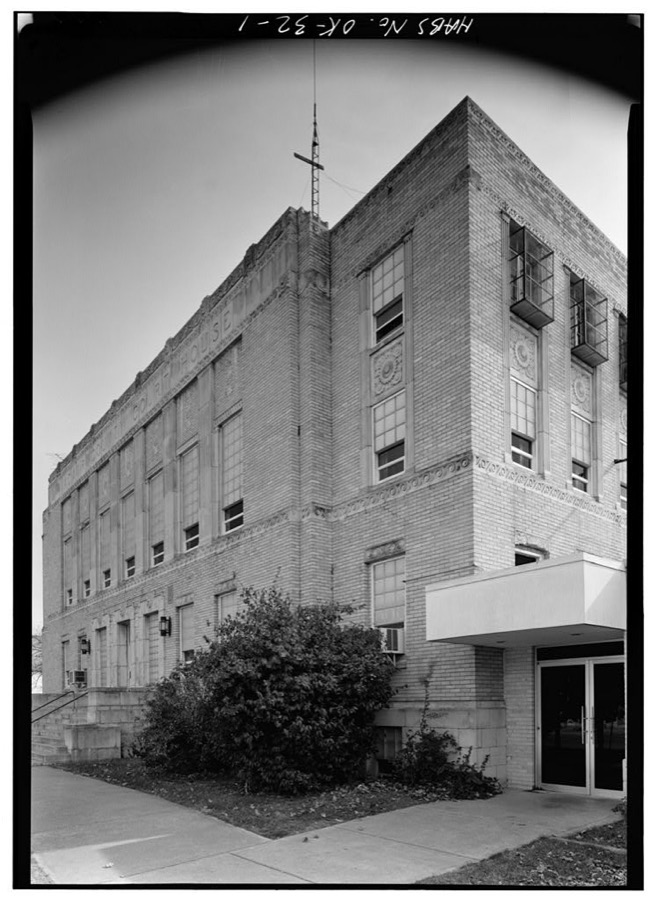
Every property in this county listed on the National Register of Historic Places, with the year it was listed and the federal nomination document.
| Photograph | Property | Type | Listed | Reference |
|---|---|---|---|---|
 | Adair County Courthouse | building | 1984 | 84002927 |
 | Buffington Hotel | building | 1984 | 84002929 |
| Rev. Jesse Bushyhead Grave | site | 2004 | 04001334 | |
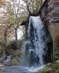 | Golda's Mill | building | 1972 | 72001049 |
 | KCS Railway Depot | building | 2015 | 15000577 |
| Opera Block | building | 1984 | 84002934 |
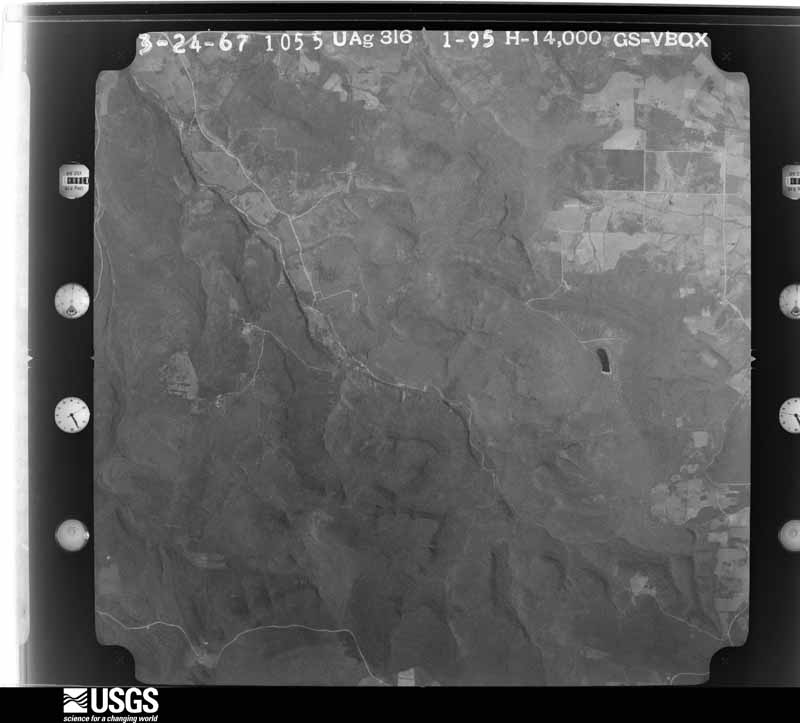
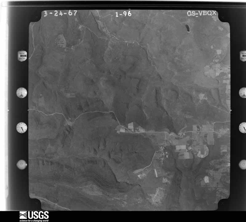
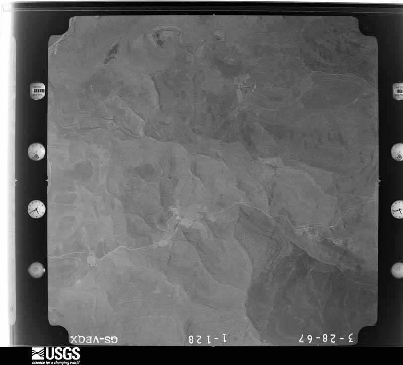
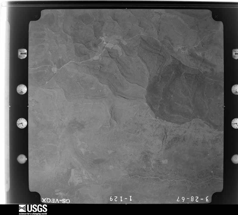
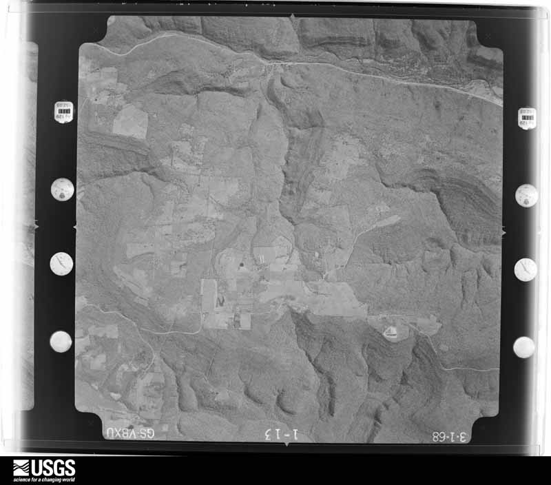
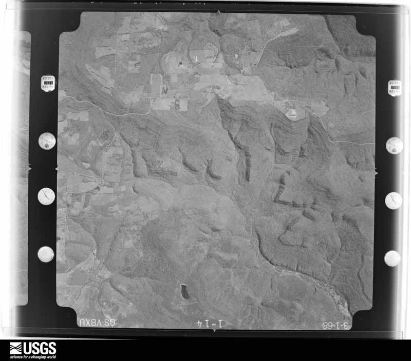
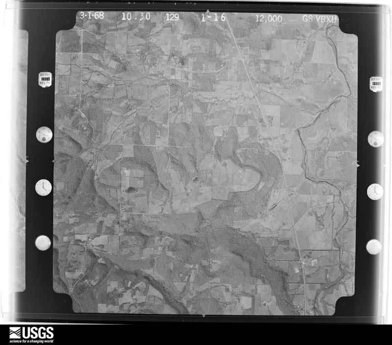
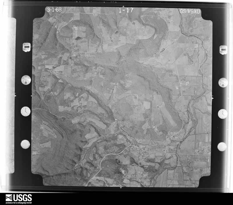
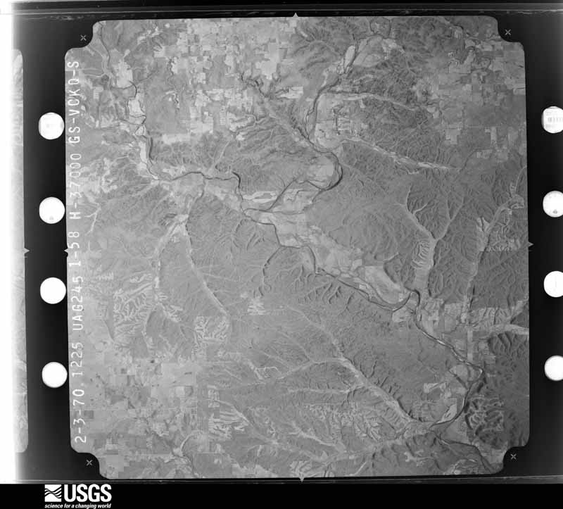
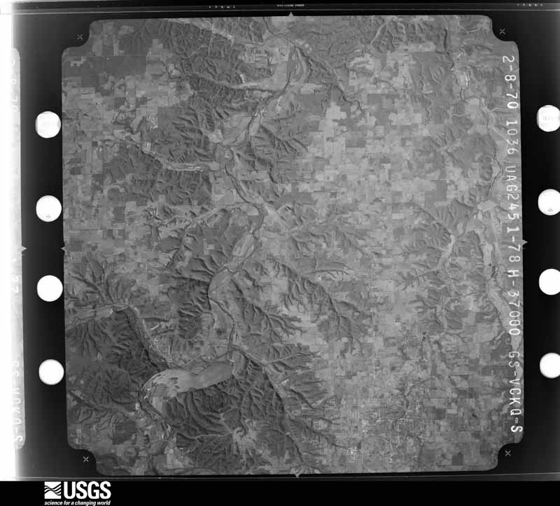
Flown by the U.S. Geological Survey between 1937 and 1989, the Aerial Photo Single Frames collection is the definitive mid-century view of the land: fields, roads and rivers as the camera saw them. The Survey holds 325 frames inside the rectangle that bounds this county; the 14 frames below were taken over the county itself, chosen across the decades of flights (at most four a year from that rectangle), so one flight cannot crowd out the rest. The full set is free to browse and download at EarthExplorer under the dataset Aerial Photo Single Frames.
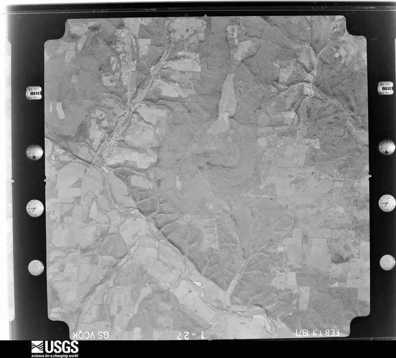
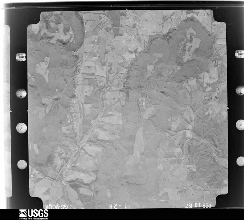
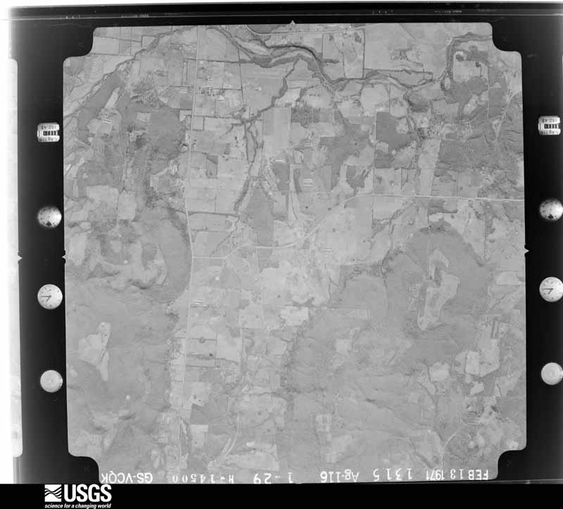
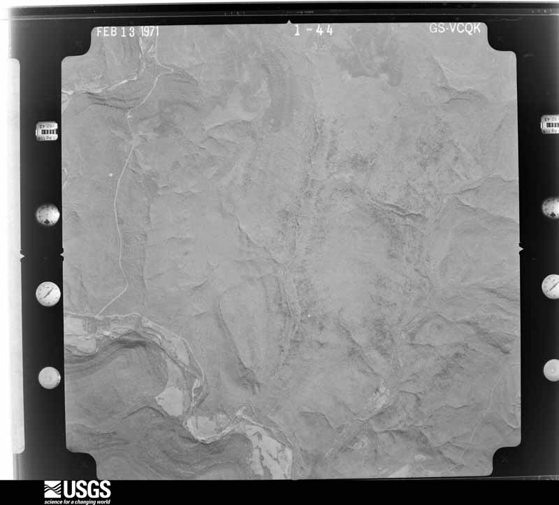
The thermometers that kept this county's weather, and the gages that measured the flow of its streams, as the federal records hold them. The extremes below are measured values from those records, not estimates.
Who lived here in 1950, one enumeration district at a time, as the Census Bureau described each district. Each row opens its official National Archives result, with Population Schedules and ED Maps available there.
Every wildfire the federal occurrence database records inside this county: 5,915 of them, burning about 160,638 acres. 123 started naturally and 3,362 were recorded as arson. Each settlement page carries the fires within five miles of it.
| Reported cause | Fires |
|---|---|
| Arson/incendiarism | 3362 |
| Missing data/not specified/undetermined | 1312 |
| Debris and open burning | 724 |
| Natural | 123 |
| Equipment and vehicle use | 107 |
| Smoking | 100 |
| Recreation and ceremony | 95 |
| Misuse of fire by a minor | 42 |
| Railroad operations and maintenance | 40 |
| Power generation/transmission/distribution | 5 |
| Other causes | 4 |
| Fireworks | 1 |
The five largest, by the area the report gives. 6 of them were set deliberately.
| Date | Cause | Size | Reported by | Name on the report |
|---|---|---|---|---|
| 2 March 2006 | Arson/incendiarism | 3,240 acres | Oklahoma Division of Forestry | HUNT MILL HOLLOW FIRE |
| 23 March 2011 | Debris and open burning | 2,135 acres | Cherokee Nation Tribe | ROUND MOUNTAIN |
| 23 January 2013 | Arson/incendiarism | 2,108 acres | Cherokee Nation Tribe | BUCK TROT |
| 1 March 1995 | Debris and open burning | 2,085 acres | Ozark Plateau National Wildlife Refuge | JONESTRACT |
| 3 April 1997 | Arson/incendiarism | 1,920 acres | Oklahoma Division of Forestry | not named |
| 20 March 2017 | Arson/incendiarism | 1,850 acres | Oklahoma Division of Forestry | not named |
| 3 April 2004 | Arson/incendiarism | 1,605 acres | Oklahoma Division of Forestry | KESTER MTN. FIRE |
| 3 March 2009 | Arson/incendiarism | 1,500 acres | Oklahoma Division of Forestry | 30393 |
Every settlement page carries the fires within five miles of it - see the settlement index below.
The NOAA Storm Events Database holds 482 reports for this county, causing 5 deaths, 4 injuries and about $4,387,000 in recorded property damage. Each settlement page carries the reports that name it.
| Kind of event | Reports |
|---|---|
| Hail | 196 |
| Thunderstorm Wind | 163 |
| Tornado | 44 |
| Flash Flood | 43 |
| Flood | 36 |
The most serious of them, by death, then injury, then recorded damage. The accounts are quoted exactly as the forecast office filed them.
| When | Event | Place named | Harm | What the report says |
|---|---|---|---|---|
| November 2022 | Flash Flood | Bidding Spgs | 2 killed, 2 hurt | Locally heavy rainfall resulted in the flooding of portions of several county roads. A vehicle was driven into a flooded low water crossing west of Stilwell, where it was washed downstream. Four people were inside the vehicle at the time. A 14-year old boy and a 9-year old girl in the vehicle were taken to the hospital, treated, and released. A 6-year old girl was drowned in the vehicle. A 43-year old man was also drowned, and was recovered eleven miles downstream, two days after the incident. |
| September 2010 | Flash Flood | Bunch | 1 killed, $75,000 | Numerous roads in the southern portion of the county were flooded and closed. Several county roads and low water crossings were washed out. A nineteen year old drowned when his vehicle was swept off the road while he tried to drive through a flooded low water crossing. |
| June 1999 | Flash Flood | Stilwell | 1 killed, $5,000 | A 22-year old man drowned while attempting to cross a marked low-water bridge over Evansville Creek on OK Hwy 100 east of Stilwell. His compact pickup truck was swept off the road into the fast-moving stream, which had been flooded by up to 4 inches of rain earlier that morning upstream in Crawford and Washington Counties in Arkansas. The man's passenger managed to swim to safety, but the driver was carried downstream where his body was found several days later. |
| February 2018 | Flood | Stillwell Arpt | 1 killed | A 53-year old man drove his vehicle into a flooded, low-water crossing about three miles east of Stillwell in Adair County, where he drowned. |
| April 2022 | Tornado (EF1) | Stilwell | 1 hurt, $300,000 | This tornado developed south of the E 820 Road and west of the S 4700 Road, where large tree limbs were snapped and homes were damaged. It moved east-northeast across the cemetery snapping softwood trees. The tornado then moved across the northwest and north sides of Stilwell, where the roofs of a number of apartment buildings were damaged, homes were damaged, outbuildings were destroyed, trees were uprooted, and power poles were blown down. Several businesses were damaged as it crossed Highway 59, a semi truck was blown over, and trees were uprooted. As the tornado moved east-northeast from Stilwell, numerous trees were uprooted, outbuildings were damaged, and some trees and power poles were snapped from the S 4720 Road to near the S 4757 Road. The tornado appeared to dissipate just east of the S 4757 road. Based on this damage, maximum estimated wind in the tornado was 95 to 105 mph. |
| June 1970 | Tornado (F3) | not stated | 1 hurt | no account filed |
| June 2000 | Flash Flood | Countywide | $500,000 | Heavy thunderstorm rains caused flooding of numerous rural roads. One of the major roads which were flooded was Highway 62 between Westville and Proctor. The flooding did substantial damage to gravel roads and bridges. The rising water in streams also flooded a few homes in Proctor and Chewey. Three homes were also flooded near where Shell Branch Creek flows into Baron Fork Creek. |
| April 1995 | Tornado (F1) | not stated | $500,000 | no account filed |
| August 1993 | Thunderstorm Wind | Christie | $500,000 | no account filed |
| November 2018 | Tornado (EF2) | Titanic | $250,000 | This is the fifth segment of a six segment tornado. This long-track tornado moved back into Adair County south-southwest of Proctor and moved north-northeast snapping and uprooting trees on the 754 Road. The tornado crossed Highway 62 near Proctor where homes were severely damaged, large outbuildings were destroyed, farm equipment was thrown large distances, and many trees were snapped and uprooted. It snapped and uprooted numerous trees and destroyed barns between Highway 62 and Chewey Road. Some of the tree damage in this heavily-wooded, rural area was extensive. The tornado continued to move north-northeast across heavily wooded terrain and then crossed River Road where numerous trees were uprooted, and finally into Delaware County near Dripping Springs. Based on this damage, maximum estimated wind in this segment of the tornado was 110 to 120 mph. |
| October 1991 | Tornado (F1) | not stated | $250,000 | no account filed |
| November 2024 | Tornado (EF2) | Bidding Spgs | $150,000 | This is the second segment of a four-segment tornado. The tornado moved into Adair County north of Caney Creek and south of the E 808 Road. Numerous trees were snapped or uprooted, outbuildings were damaged, homes were damaged, and utility poles were snapped between the county line and Christie. Extensive tree damage occurred northeast of Christie along Highway 62, and continued to near the S 4720 Road. A manufactured home was destroyed and outbuildings were damaged. The tornado widened to about 1200 yards for several miles as it approached the state line. Based on this damage, maximum estimated wind in this segment of the tornado was 110 to 120 mph. The tornado continued into Washington County, Arkansas. |
| May 2013 | Tornado (EF1) | Addielee | $125,000 | This is the first segment of a two segment tornado. In Adair County, this tornado destroyed two barns and damaged a third barn. It also snapped or uprooted numerous trees as it moved northeast. Based on this damage, maximum estimated wind in this segment of the tornado was 100 to 110 mph. The tornado continued into Washington County, Arkansas, where it dissipated north of the town of Cincinnati. |
| April 2026 | Hail | Chewey | $100,000 | Hail up to two inches in diameter damaged homes and vehicles. |
| June 2025 | Tornado (EF1) | Christie | $100,000 | This tornado developed just west of the 4648 Road and north of the 770 Road. It moved east across Scraper Hollow, and then east-northeast across England Hollow Road and Highway 59, dissipating east of the 4727 Road. The tornado uprooted numerous trees, and destroyed an outbuilding. Based on this damage, maximum estimated wind in the tornado was 90 to 100 mph. |
| March 2017 | Tornado (EF1) | Bunch | $100,000 | This tornado destroyed several outbuildings, damaged several homes, uprooted numerous trees, and blew down power poles. Based on this damage, estimated maximum wind in the tornado was 90 to 100 mph. |
| April 2008 | Tornado (EF2) | Bunch | $100,000 | An NWS storm survey determined that a strong tornado destroyed several mobile homes, caused extensive tree damage, destroyed barns and other outbuildings, and snapped power poles. |
| April 2001 | Thunderstorm Wind | Watts | $100,000 | Very strong thunderstorm winds associated with a downburst damaged seven dwellings including 4 mobile homes and three wood framed houses. Another house was damaged as a large tree fell on it. Two barns were competely destroyed and a small shed was overturned. Numerous other trees and power lines were blown down as well. |
| June 2000 | Flash Flood | Countywide | $100,000 | Heavy rains caused water to flow over and wash numerous secondary roads. |
| October 2019 | Tornado (EF1) | Chance | $75,000 | This is the first segment of a two-segment tornado. This tornado uprooted numerous trees, destroyed several outbuildings, and damaged the roofs of several homes. Based on this damage, maximum estimated wind in this segment of the tornado was 90 to 100 mph. The tornado continued into Benton County. |
| April 2026 | Tornado (EF1) | Titanic | $70,000 | This is the second segment of a three-segment tornado. The tornado moved into Adair County south of the 754 Road, and into rugged terrain. Trees were uprooted as it moved across the 4630 Roads southwest of Christie, and the roof of a manufactured home was damaged. The tornado uprooted numerous trees and snapped numerous large tree limbs along Highway 62, with more trees uprooted along Cemetery Road and Highway 59, and along the 4750 Road before moving into Washington County, AR. Based on this damage, maximum estimated wind in this segment of the tornado was 90 to 100 mph. |
| December 2010 | Tornado (EF2) | Westville | $60,000 | This segment is the first of six segments of this long-track tornado. A tornado developed just northeast of Westville and moved rapidly northeastward damaging a home, tossing or rolling four vehicles, snapping at least 13 large power poles, and snapping or uprooting large trees. Estimated maximum wind based on this damage was 125 mph. This tornado continued into Washington County, Arkansas. |
| May 2025 | Tornado (EF1) | Lyons | $50,000 | This is the first segment of a two segment tornado. The tornado developed just west of Stilwell City Lake. It moved east-northeast toward Blanch, and then northeast across the west and north sides of Stilwell. The tornado moved across Fairfield and then turned east-northeast before crossing into Washington County, Arkansas. Many trees were uprooted and some were snapped by this tornado, homes were damaged, outbuildings were destroyed, and power poles were blown down. A tornadic debris signature was noted from the KSRX WSR-88D. Based on this damage, maximum estimated wind in this segment of the tornado was 95 to 105 mph. |
| April 2021 | Tornado (EF1) | Stilwell | $50,000 | This tornado damaged a home, destroyed a couple outbuildings, damaged chicken houses, and uprooted trees. Based on this damage, maximum estimated wind in the tornado was 90 to 100 mph. |
| October 2009 | Flash Flood | Proctor | $50,000 | Numerous roads were flooded and closed throughout the county, at least one of which had portions washed out. |
| April 2008 | Tornado (EF2) | Stilwell | $50,000 | An NWS storm survey determined that a strong tornado destroyed a mobile home, caused extensive tree damage, and snapped power poles. This tornado continued into Washington County Arkansas, lifting about 4 miles southwest of Lincoln. |
| January 2005 | Flash Flood | Northwest Portion | $50,000 | Heavy rains caused some rural roads to be washed out throughout the county. |
| April 2004 | Flash Flood | Countywide | $50,000 | Several rounds of thunderstorms with heavy rain eventually produced flash flooding across Adair county.During the 72 hour period ending 7 am cdt April 24 Westville recevied 6.78 inches of rain. One water rescue was performed at a home in the Chalk Bluff area. A bridge washed out 10 miles south southeast of Stilwell. Numerous county roads were flooded at one time or another. |
| April 1995 | Thunderstorm Wind | Stilwell | $50,000 | no account filed |
| May 2019 | Thunderstorm Wind | Stilwell | $30,000 | Strong thunderstorm wind uprooted several trees and destroyed a large barn. |
| February 1997 | Flash Flood | Nr Westville | $30,000 | A cluster of severe thunderstorms moved north northeast across extreme eastern Oklahoma during the evening of February 20th and produced considerable wind damage along their path. 1 brief tornado also occurred in Le Flore County. The tornado was about 30 yards wide and touched down briefly on the southwest side of Pocola at 1950CST. About a half-dozen trees were uprooted by this F0 tornado, but no structural damage was associated with the tornado. Strong straightline winds were responsible for most of the damage caused by the storms. In Le Flore County, 70 mile an hour winds in Heavener damaged mobile homes and blew trees down. Strong winds damaged houses and the Post Office in Cameron. 2 persons were injured in Cameron, 1 of them seriously. Thunderstorm winds estimated at 90 miles an hour in Pocola did much more damage than was caused by the weak tornado there. The winds caused substantial damage to 20 homes and major damage to 3 other homes. 2 mobile homes were destroyed in Pocola, and a tractor-trailer was blown over. Several large trees were blown down in Pocola, and 2 gas lines were destroyed in Pocola by uprooted trees. 4 persons were injured in Pocola, 1 of them critically. In Sequoyah County, the Arkansas River bridge in Moffett was blocked by debris. In Adair County, numerous trees were blown down in Westville.Thunderstorms during the evening also produced very heavy rainfall which resulted in flash flooding. A few roads throughout Latimer County were under water, and numerous roads throughout Le Flore County were flooded and impassable. High water covered State Highway 82 south of Stigler and State Highway 9 east of Keota, and State Highway 31 was closed at Haywood due to high water. Numerous low-lying roads were flooded throughout Sequoyah County, and bridges were washed out near Westville. |
| October 1995 | Tornado (F0) | Stilwell | $30,000 | no account filed |
| June 2023 | Hail | Ballard | $25,000 | Hail slightly larger than golf ball size damaged homes and vehicles. |
| April 2012 | Tornado (EF0) | Titanic | $25,000 | This is the second segment of this tornado. The tornado moved across Highway 51 snapping large tree limbs and destroying an unoccupied mobile home that was not tied down. Maximum estimated wind during this segment of the tornado based on this damage was about 75 mph. The tornado continued into Cherokee County, Oklahoma. |
| May 1999 | Thunderstorm Wind | Westville | $25,000 | At 305 AM CDT, the Oklahoma mesonet site west of Westville measured a wind gust to 70 miles an hour. These winds then moved east to Westville, blowing down numerous trees and limbs in Westville. On Buffington Road, several limbs blocked traffic during the morning commute time. Numerous trees blew into power lines. Utility officials reported some of the worst damage in the Bell community, where whole oak trees were uprooted and roofs were lost froma number of barns. |
| June 1968 | Tornado (F2) | not stated | $25,000 | no account filed |
| May 1961 | Tornado (F2) | not stated | $25,000 | no account filed |
| May 2022 | Hail | Baron | $20,000 | Ping pong ball size hail damaged homes and vehicles. |
| April 2012 | Tornado (EF0) | Titanic | $20,000 | This is the final segment of this tornado. The tornado moved back into Adair County just north of Highway 51 snapping large tree limbs and destroying a few sheds and outbuildings. Maximum estimated wind in the tornado during this segment based on this damage was about 70 mph. |
| April 1999 | Thunderstorm Wind | Stilwell | $20,000 | Winds destroyed a barn, damaged roofs on chicken sheds, caused damage at the rodeo grounds, and caused minor damage to a mobile home. |
| May 2016 | Hail | Stilwell | $20,000 | no account filed |
| May 2008 | Hail | Christie | $20,000 | no account filed |
| November 2018 | Tornado (EF1) | Titanic | $15,000 | This is the third segment of a six segment tornado. The tornado moved into Adair County southwest of Wauhillau and moved north-northeast across Highway 51 and the E768 Road. A couple homes were damaged, outbuildings were damaged, and trees were uprooted. The tornado moved back into Cherokee County northwest of Wauhillau. Based on this damage, maximum estimated wind in this segment of the tornado was 90 to 100 mph. |
| May 2013 | Tornado (EF1) | Christie | $15,000 | This tornado snapped or uprooted a number of trees and damaged a barn. Based on this damage, maximum estimated wind in the tornado was 100 to 110 mph. |
| October 1998 | Flash Flood | Countywide | $15,000 | Water crossed US Hwy 59 in several low-lying areas between Stilwell and Baron. On the US Hwy 59 bypass near Stilwell, several vehicles stalled out in high water. A pickup truck was washed off of Section Line Road northwest of Stilwell around noon CDT. |
| May 2011 | Hail | Stilwell | $15,000 | no account filed |
| April 2011 | Hail | Baron | $15,000 | no account filed |
| November 2024 | Thunderstorm Wind | Ballard | $10,000 | Strong thunderstorm wind blew down power lines, snapped large tree limbs, damaged the roofs of buildings. |
| July 2015 | Thunderstorm Wind | Chance | $10,000 | Several trees were blown down by strong thunderstorm wind on Chewey Road, southwest of Watts. One of the trees fell onto a pickup truck. |
| June 2012 | Thunderstorm Wind | Bunch | $10,000 | Strong thunderstorm wind blew down a tree onto a barn. |
| May 2011 | Flash Flood | Westville | $10,000 | Highway 59 was closed between Westville and Stilwell due to high water covering the roadway. Several cars were stranded in the flood water. |
| May 2003 | Thunderstorm Wind | Westville | $10,000 | Thunderstorm winds estimated at 70 miles an hour blew down trees and destroyed a barn. |
| April 2001 | Thunderstorm Wind | Westville | $10,000 | Thundestorm winds blew a tree onto a house causing damage to the roof. |
| March 2020 | Hail | Stilwell | $10,000 | no account filed |
| March 2017 | Hail | Stilwell | $10,000 | no account filed |
| March 2015 | Hail | Ballard | $10,000 | no account filed |
| March 2015 | Hail | Chewey | $10,000 | no account filed |
| January 2008 | Hail | Watts | $10,000 | no account filed |
| May 1999 | Tornado (F3) | Stilwell | $7,000 | A significant long-track tornado first touched down in Sequoyah County 4 miles west of Short, moving northeast for 39 miles to a point about 7 miles southwest of Fayetteville, AR. This tornado clipped the extreme southeast portion of Adair County as the tornado reached its peak strength as an F3 tornado. Fortunately, the tornado travelled across an unpopulated portion of Adair County. However, an aerial survey by NWS personnel over extreme southeast Adair County revealed that every tree in a hardwood forest was completely leveled. |
| March 2020 | Thunderstorm Wind | Stilwell | $5,000 | Strong thunderstorm wind estimated to 70 mph damaged a gas station. |
The Survey's mineral resources record lists 22 workings inside this county. 3 still produce and 19 are closed or unrecorded. Each settlement page carries the workings within five miles of it.
| Commodity | Workings |
|---|---|
| Sand and Gravel, Construction | 17 |
| Clay | 3 |
| Stone, Crushed/Broken | 2 |
The least common of them first, because a county's hundredth gravel pit says nothing its first ten did not.
| Where | Site | Commodity | Status | Recorded |
|---|---|---|---|---|
| Unknown Limestone Pit | Stone, Crushed/Broken | Past Producer | ||
| Unknown Limestone Pit | Stone, Crushed/Broken | Past Producer | ||
| Unknown Shale Pit | Clay | Past Producer | ||
| Unknown Shale Pit | Clay | Past Producer | ||
| Unknown Shale Pit | Clay | Past Producer | ||
| Addilee Sand and Gravel Co Pit | Sand and Gravel, Construction | Producer | ||
| Davidson Sand and Gravel Pit | Sand and Gravel, Construction | Past Producer | ||
| Unknown Gravel Pit | Sand and Gravel, Construction | Past Producer | ||
| Unknown Gravel Pit | Sand and Gravel, Construction | Past Producer | ||
| Unknown Gravel Pit | Sand and Gravel, Construction | Past Producer | ||
| Unknown Gravel Pit | Sand and Gravel, Construction | Past Producer | ||
| Unknown Gravel Pit | Sand and Gravel, Construction | Producer | ||
| Unknown Gravel Pit | Sand and Gravel, Construction | Past Producer | ||
| Unknown Gravel Pit | Sand and Gravel, Construction | Past Producer | ||
| Unknown Gravel Pit | Sand and Gravel, Construction | Past Producer | ||
| Unknown Gravel Pit | Sand and Gravel, Construction | Producer | ||
| Unknown Gravel Pit | Sand and Gravel, Construction | Past Producer | ||
| Unknown Gravel Pit | Sand and Gravel, Construction | Past Producer | ||
| Unknown Gravel Pit | Sand and Gravel, Construction | Past Producer | ||
| Unknown Gravel Pit | Sand and Gravel, Construction | Past Producer | ||
| Unknown Gravel Pit | Sand and Gravel, Construction | Past Producer | ||
| Unknown Gravel Pit | Sand and Gravel, Construction | Past Producer |
Named settlements recorded in the Geographic Names Information System, each with the topographic sheets covering it. Villages, hamlets and abandoned places alike. Each is shown with the nearest named watercourse or landform and the survey quadrangle it falls on. The 2 places that were also surveyed for fire insurance come first, with the number of atlases and photographs held for them.
Westville census division · 74965 · Westville quadrangle
17 sheets, 1898 to 1978
Fire insurance: 2 atlases
Westville census division · 74965 · On Green Creek · Christie quadrangle
17 sheets, 1898 to 1978
Westville census division · 74965 · On Shell Branch · Westville quadrangle
17 sheets, 1898 to 1978
Stilwell East census division · 74960 · Near Sally Bull Hollow · Big Round Mountain quadrangle
19 sheets, 1898 to 1978
Stilwell West census division · 74931 · Near Hamlin Hollow · Bunch quadrangle
17 sheets, 1898 to 1978
Stilwell East census division · 74960 · Near Doublehead Mountain · Greasy quadrangle
18 sheets, 1898 to 1978
Westville census division · 74965 · On Peacheater Creek · Christie quadrangle
17 sheets, 1898 to 1978
Stilwell East census division · 74948 · Near Big Round Mountain · Big Round Mountain quadrangle
19 sheets, 1898 to 1978
Stilwell West census division · 74960 · Near Walkingstick Mountain · Christie quadrangle
17 sheets, 1898 to 1978
Westville census division · 74965 · Near Crazy Hollow · Christie quadrangle
17 sheets, 1898 to 1978
Stilwell West census division · 74931 · On Copeland Branch · Greasy quadrangle
18 sheets, 1898 to 1978
Stilwell East census division · 74960 · Near Muskrat Mountain · Stilwell East quadrangle
17 sheets, 1898 to 1978
Stilwell West census division · 74960 · On Hanging Dog Creek · Stilwell West quadrangle
17 sheets, 1898 to 1978
Westville census division · 74457 · On Tyner Creek · Proctor quadrangle
18 sheets, 1898 to 1978
Stilwell West census division · 74960 · Near Hungry Mountain · Tailholt quadrangle
18 sheets, 1898 to 1978
Stilwell West census division · 74960 · On Spade Mountain · Christie quadrangle
17 sheets, 1898 to 1978
Stilwell East census division · 74960 · Near Davis Mountain · Stilwell West quadrangle
17 sheets, 1898 to 1978
Stilwell West census division · 74960 · By Stony Point · Stilwell West quadrangle
17 sheets, 1898 to 1978
Westville census division · 74965 · Near Crazy Hollow · Christie quadrangle
17 sheets, 1898 to 1978
Stilwell West census division · 74960 · On Bidding Creek · Tailholt quadrangle
18 sheets, 1898 to 1978
Stilwell West census division · 74960 · Near Walkingstick Mountain · Christie quadrangle
17 sheets, 1898 to 1978
Stilwell West census division · 74960 · Near England Hollow · Christie quadrangle
17 sheets, 1898 to 1978
Stilwell East census division · 74960 · Near Taylor Mountain · Stilwell West quadrangle
17 sheets, 1898 to 1978
0 topographic sheets and 7 fire insurance atlases, 1899 to 1938
The complete index, with nothing left out. Each of these is a separate record with its own page: a federal survey report, or the case file that argued a property on to the National Register. Both are public domain and reproduced word for word.