 Block
From the record
17 National Register listings published here.
Sources: the National Register database, National Park Service
83 topographic sheets and 13 fire insurance atlases across 2 places.
17 National Register listings published here.
Sources: the National Register database, National Park Service
Taken for the Office of War Information and the Farm Security Administration, who photographed the country between 1935 and 1944. Works of United States government photographers, with no known restriction on use. Each opens its catalogue record.

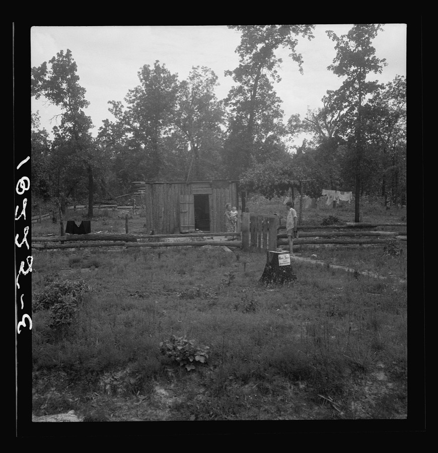
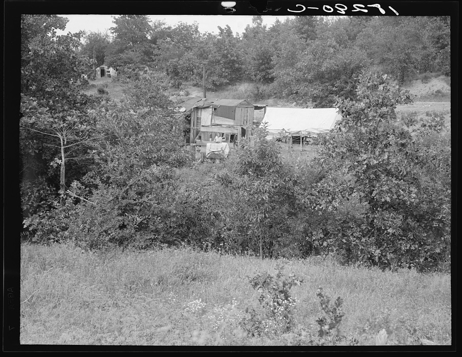
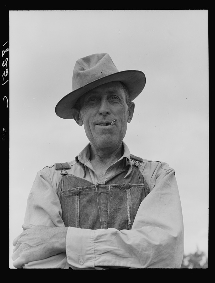
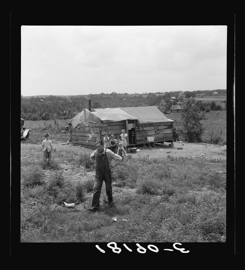
Every property in this county listed on the National Register of Historic Places, with the year it was listed and the federal nomination document.
| Photograph | Property | Type | Listed | Reference |
|---|---|---|---|---|
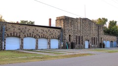 | Atoka Armory | building | 1988 | 88001372 |
| Isaac Billy Homestead and Family Cemetery | building | 1980 | 80003256 | |
| Isaac Billy Homestead and Family Cemetery | building | 1980 | 80003256 | |
| Boggy Depot Site | site | 1972 | 72001050 | |
| Claud Collier Chevrolet & Buick Company | building | 2023 | 100008767 | |
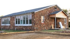 | Dunbar School | building | 2016 | 16000369 |
 | First Methodist Church Building | building | 1980 | 80003250 |
| First Oil Well in Oklahoma | site | 1972 | 72001053 | |
| First Presbyterian Church | building | 2007 | 07000914 | |
| Indian Citizen Building | building | 1979 | 79001984 | |
| Capt. Charles LeFlore House | building | 1972 | 72001052 | |
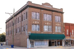 | Masonic Temple | building | 1980 | 80003251 |
| Middle Boggy Battlefield Site and Confederate Cemetery | site | 1972 | 72001051 | |
| Old Atoka State Bank | building | 1980 | 80003252 | |
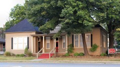 | Pioneer Club | building | 1980 | 80003253 |
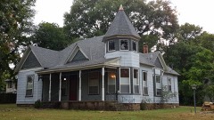 | Joe Ralls House | building | 1980 | 80003254 |
| Waddell's Station Site | site | 1972 | 72001054 |
Sampled issues, machine-read from the Library of Congress scan and published page by page, so every headline and column is searchable text.
Atoka, I.T. [Okla.], 1884. Machine-read from the Library of Congress scan.
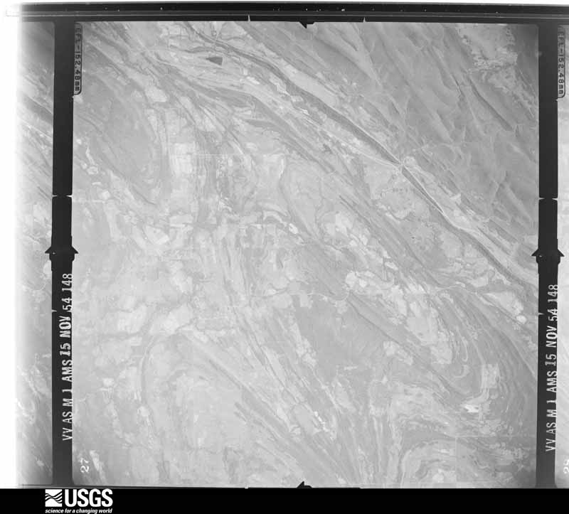
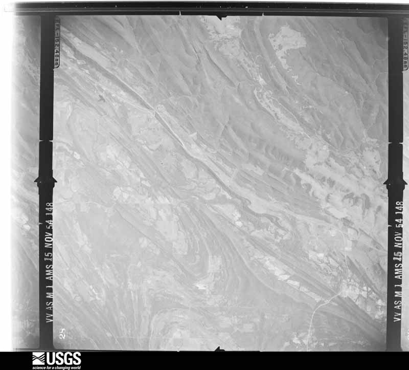
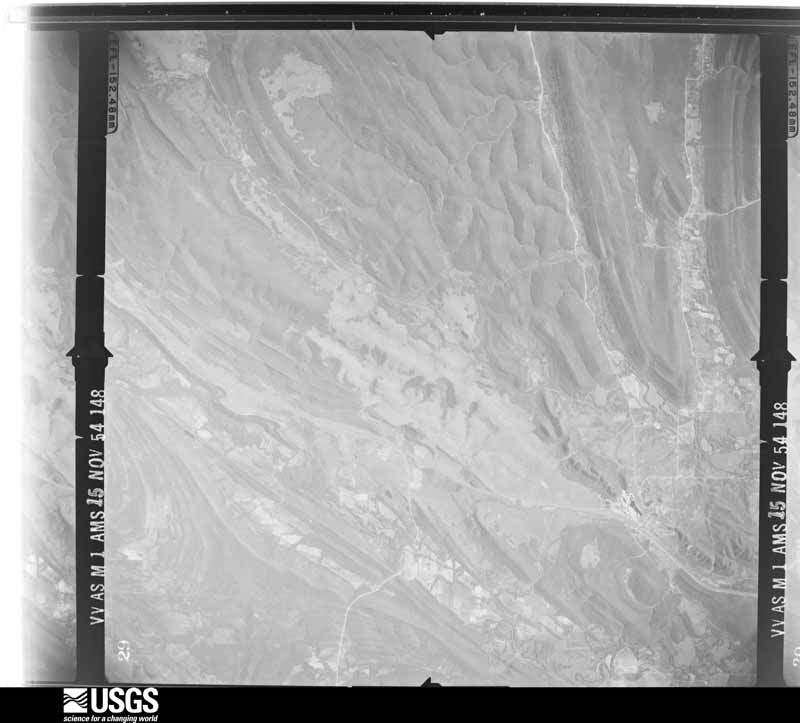
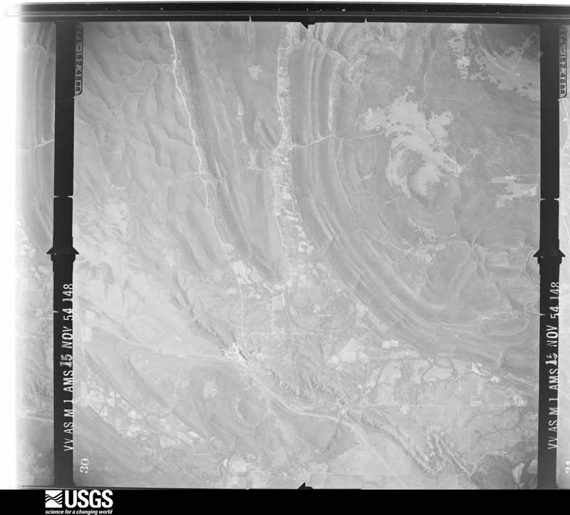
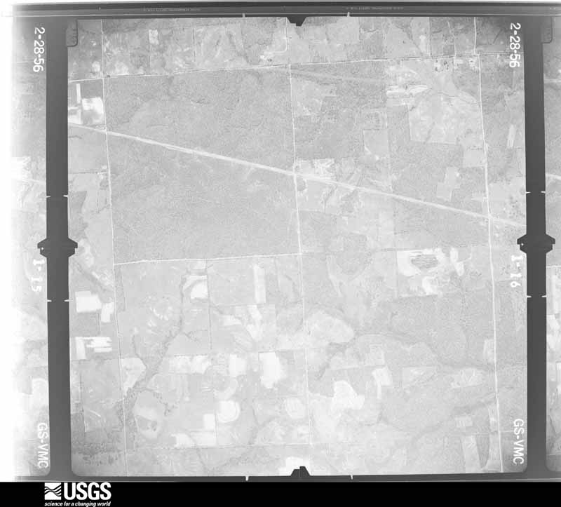
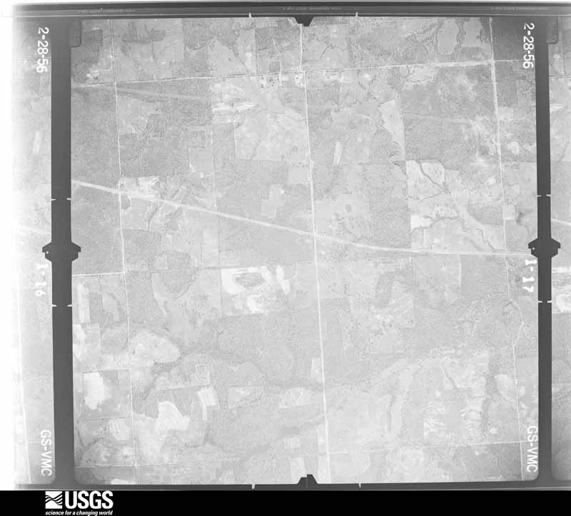
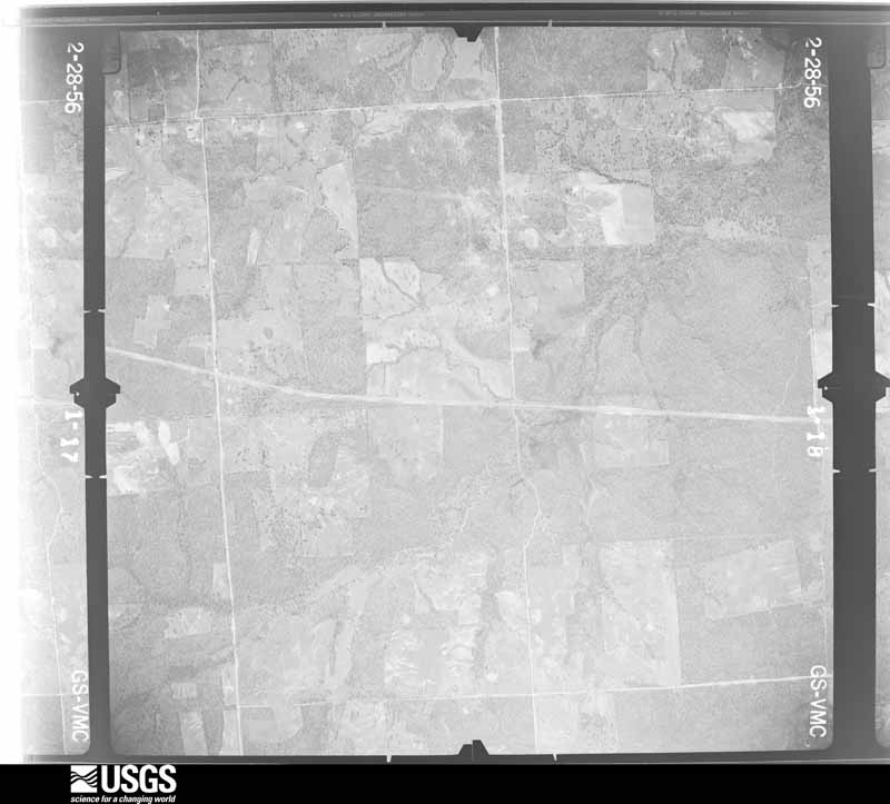
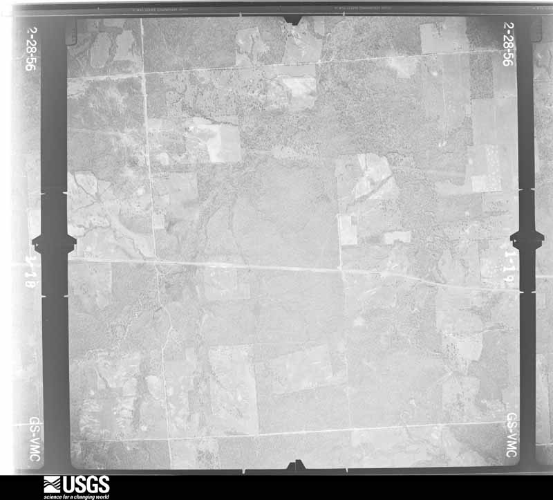
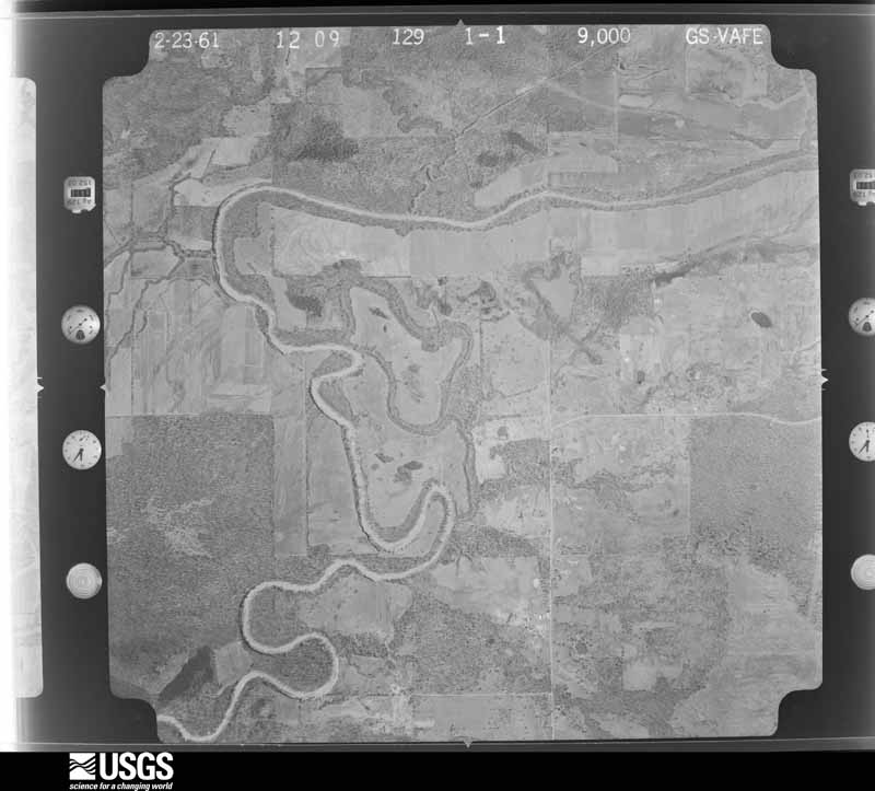
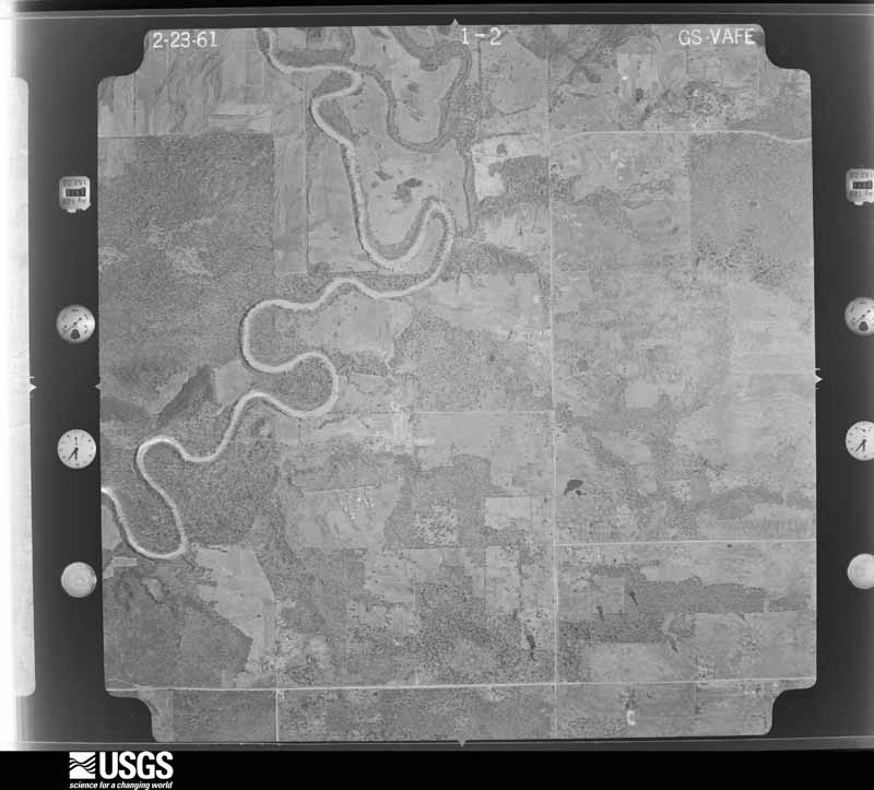
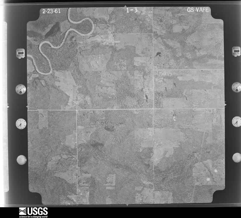
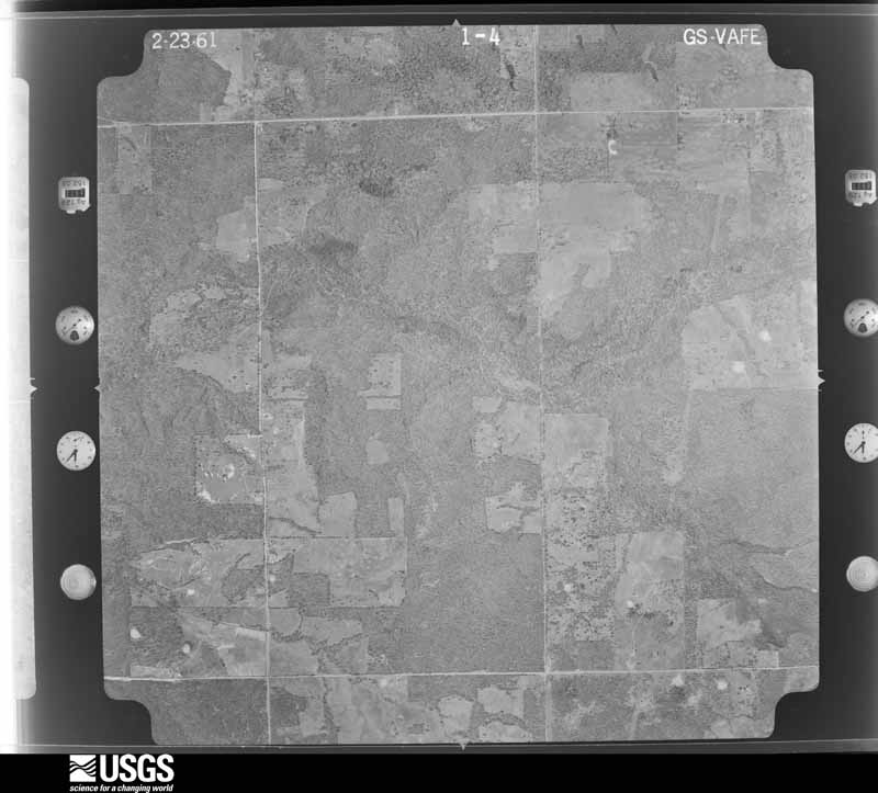
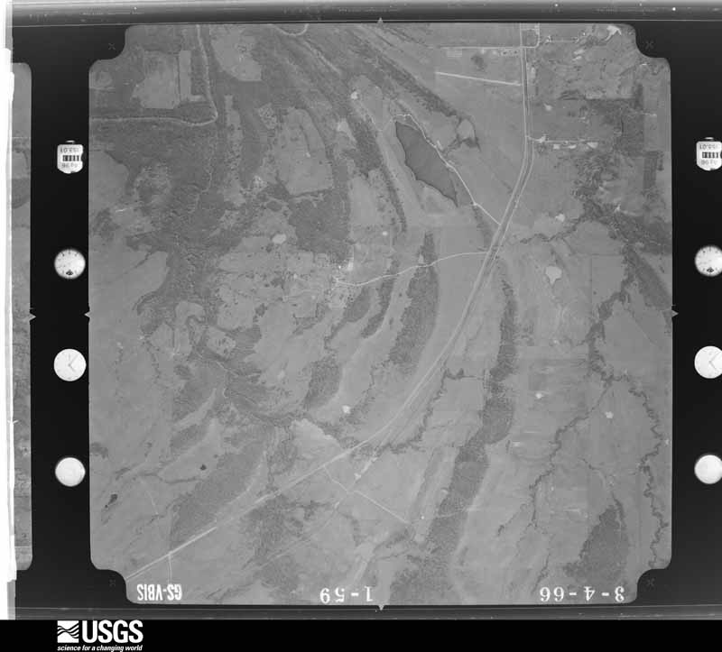
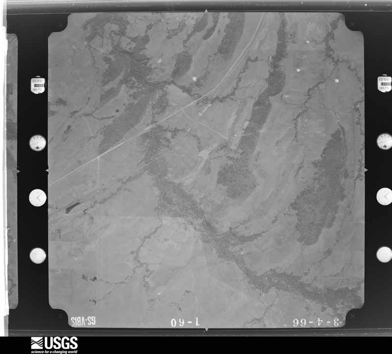
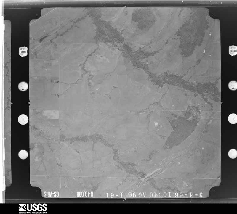
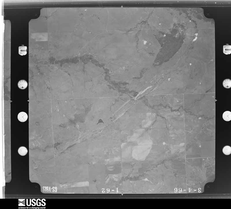
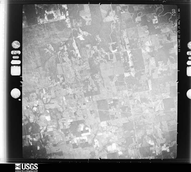
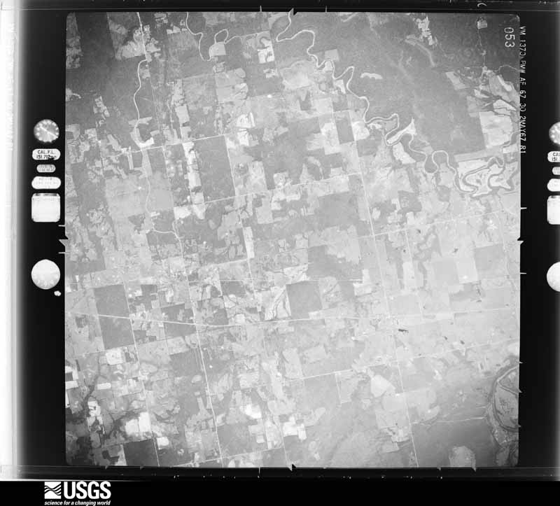
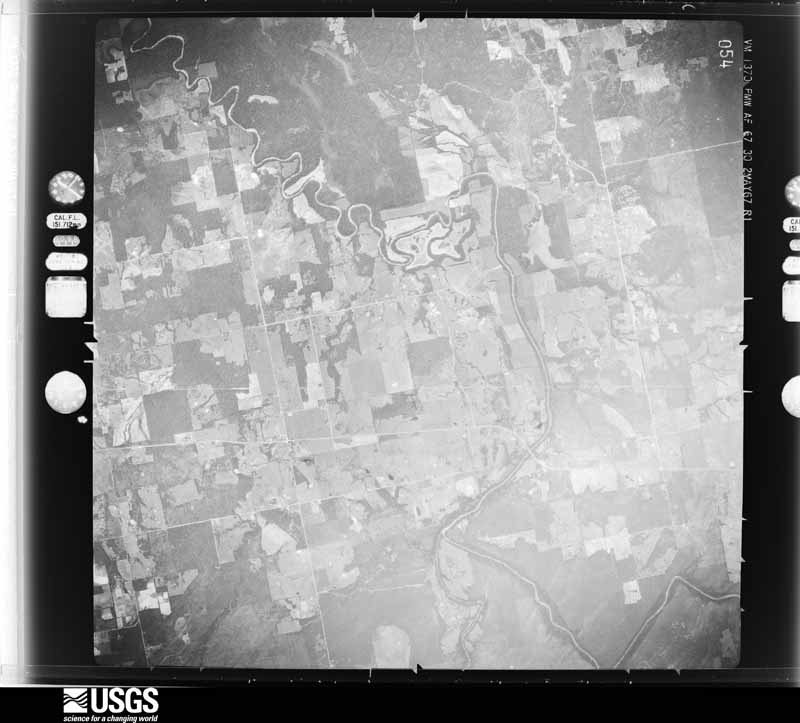
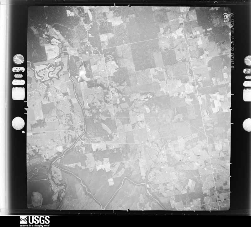
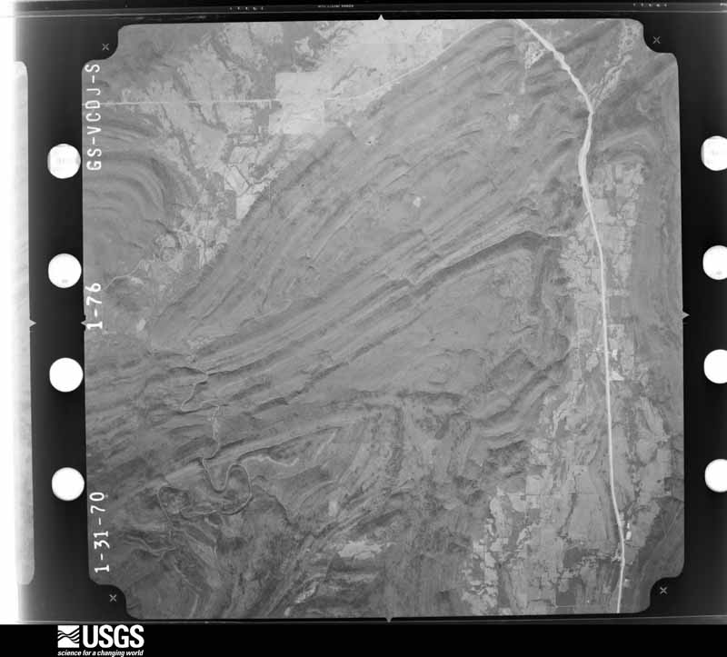
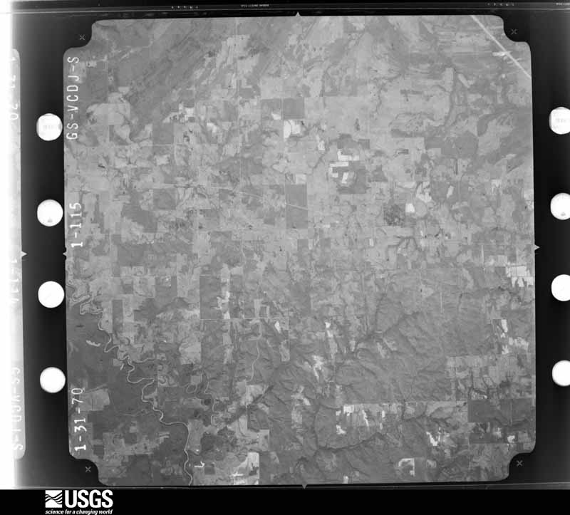
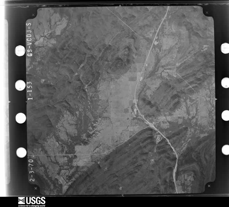
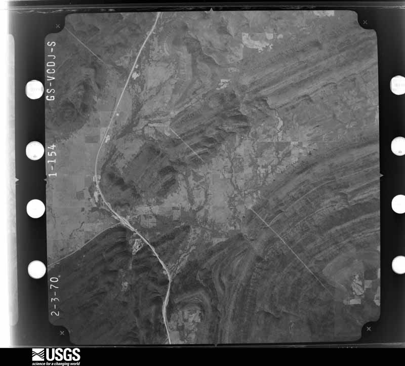
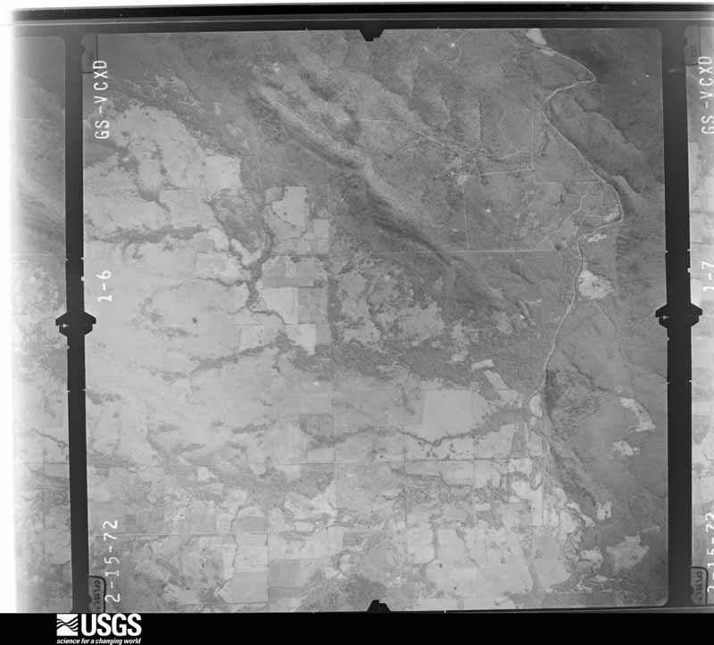
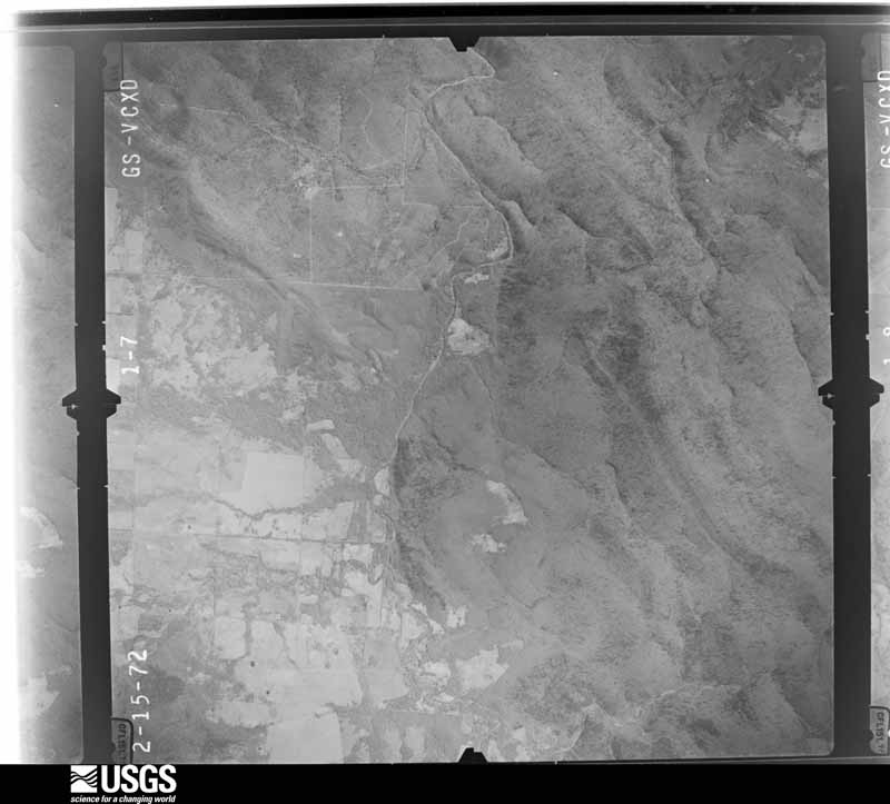
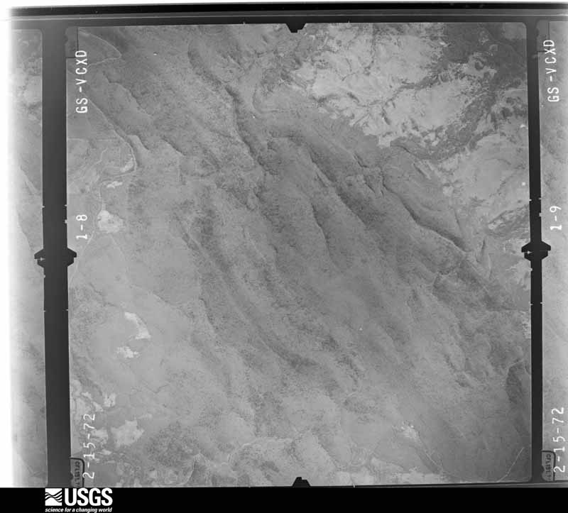
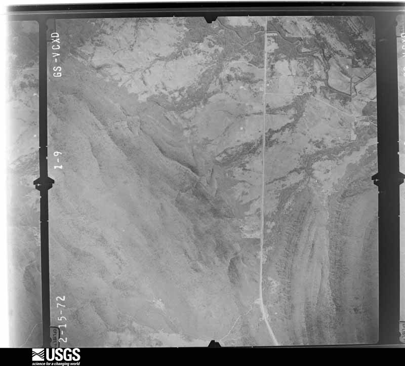
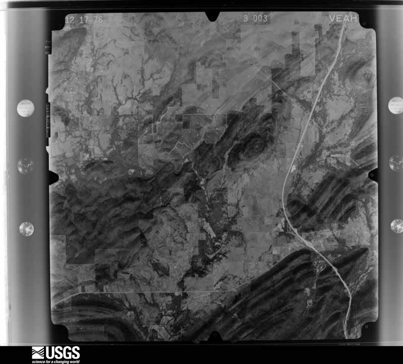
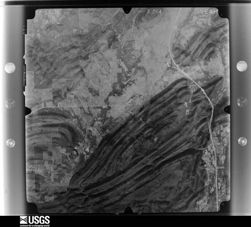
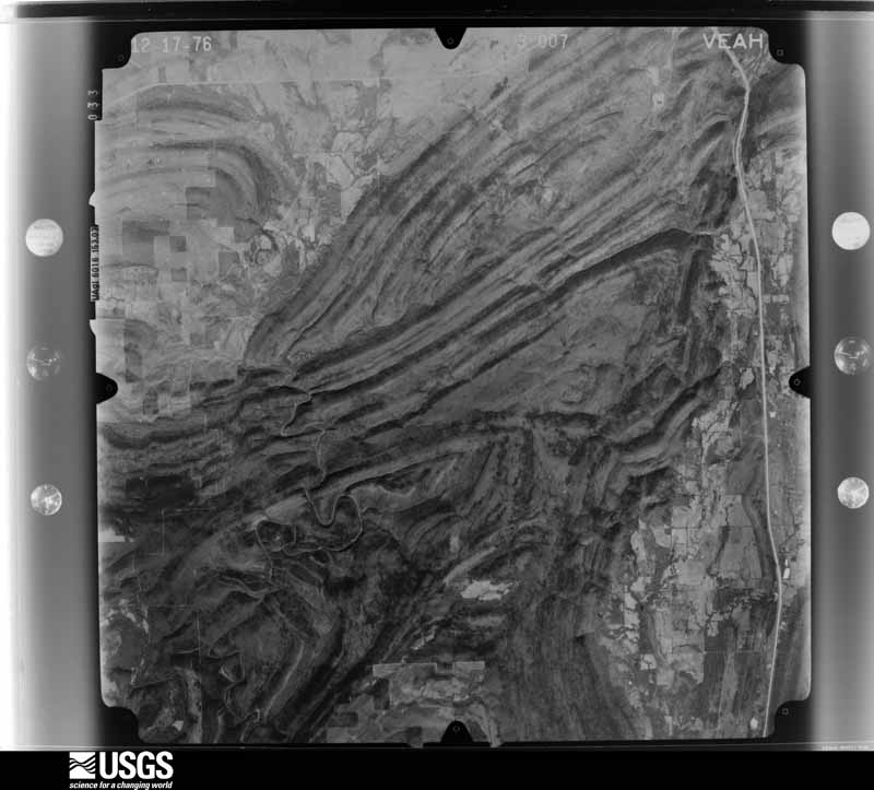
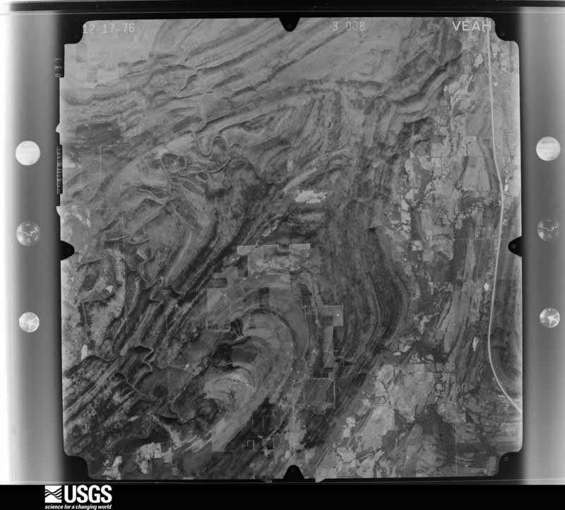
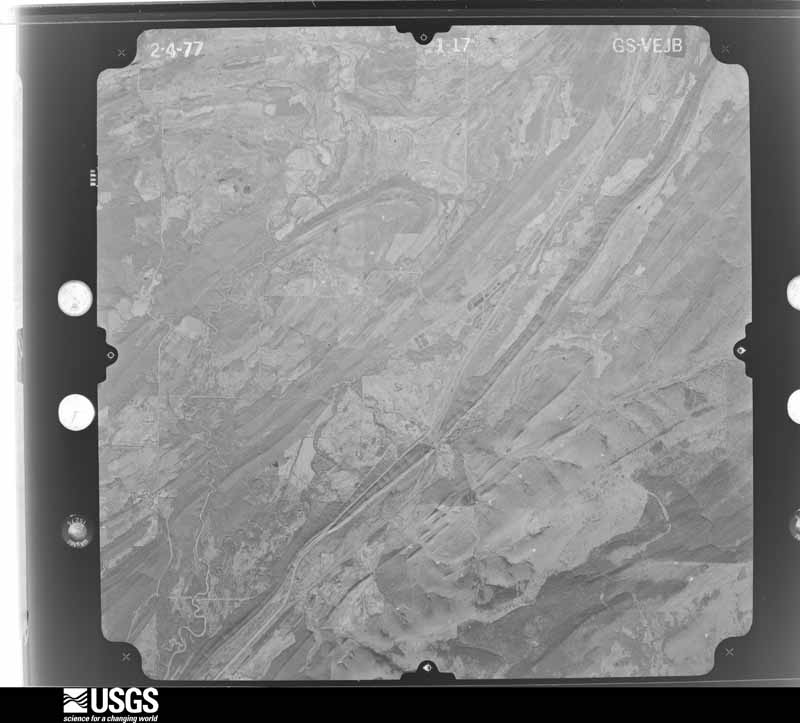
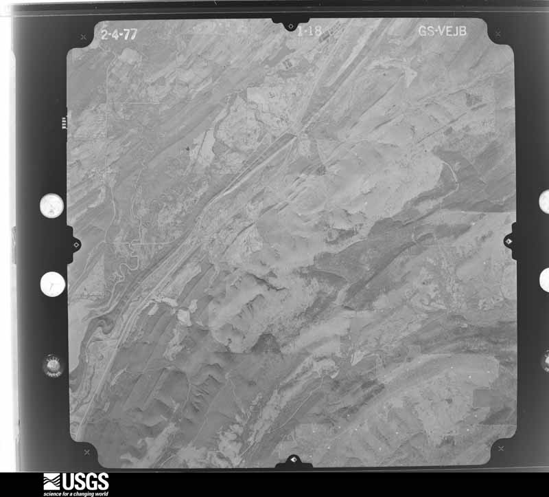
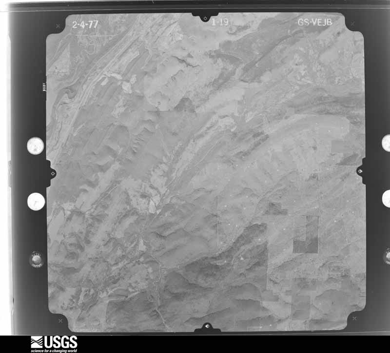
Flown by the U.S. Geological Survey between 1937 and 1989, the Aerial Photo Single Frames collection is the definitive mid-century view of the land: fields, roads and rivers as the camera saw them. The Survey holds 1,458 frames inside the rectangle that bounds this county; the 40 frames below were taken over the county itself, chosen across the decades of flights (at most four a year from that rectangle), so one flight cannot crowd out the rest. The full set is free to browse and download at EarthExplorer under the dataset Aerial Photo Single Frames.

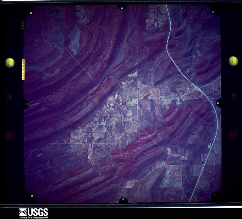
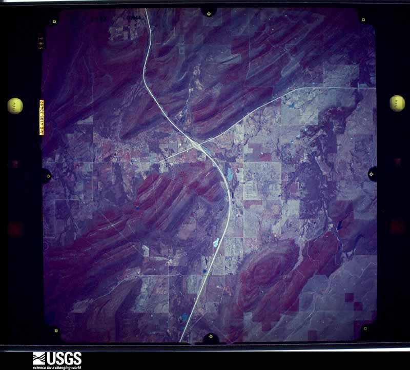
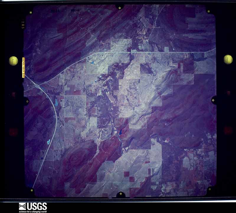
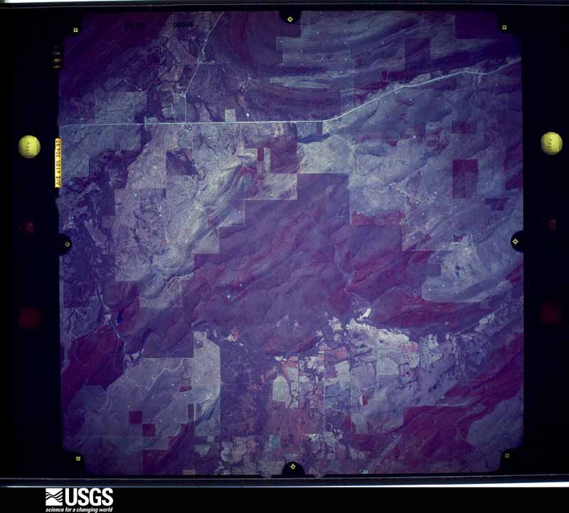
The thermometers that kept this county's weather, and the gages that measured the flow of its streams, as the federal records hold them. The extremes below are measured values from those records, not estimates.
Who lived here in 1950, one enumeration district at a time, as the Census Bureau described each district. Each row opens its official National Archives result, with Population Schedules and ED Maps available there.
Every wildfire the federal occurrence database records inside this county: 972 of them, burning about 154,544 acres. 64 started naturally and 350 were recorded as arson. Each settlement page carries the fires within five miles of it.
| Reported cause | Fires |
|---|---|
| Arson/incendiarism | 350 |
| Missing data/not specified/undetermined | 335 |
| Debris and open burning | 137 |
| Natural | 64 |
| Equipment and vehicle use | 64 |
| Recreation and ceremony | 8 |
| Misuse of fire by a minor | 7 |
| Smoking | 7 |
The five largest, by the area the report gives. Two of them were set deliberately.
| Date | Cause | Size | Reported by | Name on the report |
|---|---|---|---|---|
| 27 December 2005 | Missing data/not specified/undetermined | 6,400 acres | Talihina Agency | PINESPRING |
| 31 October 2008 | Missing data/not specified/undetermined | 5,700 acres | Oklahoma Division of Forestry | ATOKA LAKE FIRE |
| 2 August 2006 | Equipment and vehicle use | 4,900 acres | Oklahoma Division of Forestry | 10449 |
| 16 August 2006 | Equipment and vehicle use | 4,700 acres | Oklahoma Division of Forestry | 10505 |
| 2 February 2003 | Arson/incendiarism | 2,800 acres | Oklahoma Division of Forestry | 10084 |
| 3 February 2017 | Arson/incendiarism | 2,612 acres | Oklahoma Division of Forestry | not named |
| 14 February 1996 | Missing data/not specified/undetermined | 2,505 acres | Oklahoma Division of Forestry | not named |
| 30 March 1993 | Missing data/not specified/undetermined | 2,500 acres | Oklahoma Division of Forestry | not named |
Every settlement page carries the fires within five miles of it - see the settlement index below.
The NOAA Storm Events Database holds 459 reports for this county, causing 2 deaths, 58 injuries and about $9,432,210 in recorded property damage. Each settlement page carries the reports that name it.
| Kind of event | Reports |
|---|---|
| Hail | 258 |
| Thunderstorm Wind | 114 |
| Tornado | 54 |
| Flash Flood | 26 |
| Flood | 4 |
| Lightning | 3 |
The most serious of them, by death, then injury, then recorded damage. The accounts are quoted exactly as the forecast office filed them.
| When | Event | Place named | Harm | What the report says |
|---|---|---|---|---|
| April 2011 | Tornado (EF3) | Tushka | 2 killed, 40 hurt | A large tornado began 5 miles west-southwest of Tushka and moved east-northeast through Tushka and about 3 miles southeast of Atoka before curving to the north-northeast and dissipating around 2 miles east of Stringtown. Almost 150 homes and business' were significantly damaged or destroyed, many numerous others sustaining minor damage. Two fatalities occurred in a mobile home to the west of Tushka. Monetary damage estimates were not available, although it is thought they would be well into the millions of dollars. |
| March 1991 | Tornado (F2) | not stated | 6 hurt, $250,000 | no account filed |
| April 2019 | Tornado (EF3) | Bentley | 5 hurt | This tornado initially developed in Bryan County near Blue, and entered Atoka County just west of Matoy Road. The tornado produced widespread tree damage as it moved northeast crossing Matoy Road on either side of Clear Boggy Creek. North of the creek, a cabin or small home was destroyed, and another home was damaged. As the tornado moved north-northeast, damage continued to trees, power poles, and sheds. One mobile home was blown off piers south-southwest of Lane. The tornado weakened as it approached State Highway 3 and the town of Lane. The tornado brushed the town of Lane with some tree and shingle damage before dissipating about 1.5 miles northeast of Lane. |
| February 1985 | Tornado (F2) | not stated | 3 hurt, $250,000 | no account filed |
| April 1968 | Tornado (F1) | not stated | 3 hurt, $25,000 | no account filed |
| May 2015 | Tornado (EF3) | Caney | 1 hurt | The tornado moved into Atoka County from Bryan County and moved generally north dissipating east of Caney. Homes suffered significant damage in Atoka County (DI 2, up to DOD 8) and one injury was reported east of Caney. |
| November 1982 | Tornado (F2) | not stated | $2,500,000 | no account filed |
| May 1982 | Tornado (F1) | not stated | $2,500,000 | no account filed |
| April 2026 | Tornado (EF2) | Boggy Depot State Park | $1,000,000 | A tornado began near South Bluebird Lane, where a few homes sustained minor roof damage and a large tank was knocked over and rolled. The tornado snapped several trees as it crossed South Park Lane, just north of the West Voca Road intersection. The tornado then paralleled West Voca Road where tree and minor roof damage was noted eastward towards U.S. Highway 69. The tornado then crossed U.S. Highway 69 and Old U.S. Highway 69 just north of Caney, where trees were snapped and uprooted. The tornado continued to the southeast, damaging trees and outbuildings along east Allison Road. The most significant damage occurred near the intersection of Allison Road and Forest Hill Road, where a mobile home was destroyed and other homes received varying degrees of roof damage. The tornado also bent several large metal high-tension power poles east of this intersection along Allison Road. Further to the east, a house along South Sawmill Road lost a significant portion of its roof. Another concentrated area of damage was noted near the East Cottonwood Road and South Iron Stob Road intersection, where several homes, barns and at least one camper were significantly damaged. Two additional residences along East Cottonwood Road experienced light damage as the tornado began to dissipate, just west of Oklahoma State Highway 109A. ||In addition to the tornado, very strong straight-line winds just south of the tornado path caused significant damage in and near Caney. In addition to widespread damage to trees, roofs and outbuildings, an anchored 20-ft storage unit was completely destroyed on the southwest side of town. Maximum wind speeds associated with this wind damage are estimated to be as high as 100-105 mph, similar to portions of the tornado track. |
| May 1995 | Thunderstorm Wind | Stringtown | $500,000 | Severe thunderstorms moved across southern Oklahoma from mid-afternoon through late evening, producing large hail, damaging winds, and flash flooding. Nickel-size hail was reported in Kiowa County one mile south of Mountain Park, and in Comanche County seven miles east of Faxon and three miles east of Lawton. Wind speeds as high as 80 mph were reported 10 miles north of Springer in Murray County, and in Ryan in Jefferson County where around 50 utility poles were downed. Other damage in Jefferson County included a store front window shattered and a horse barn flattened in Waurika by winds estimated at 70 mph. In Ringling a tree was split by severe straight-line winds. In Carter County two miles south of Fox, a mobile home, a camping trailer, and an outbuilding were destroyed. Extensive roof damage was also done to one home, a tree blew over onto a car, and another tree blew down into a kitchen. Also in Carter County trees and power lines were downed in Ardmore. Trees and power lines were also reported down in Garvin County in Wynnewood and in Murray County in Sulphur. Two-inch limbs were snapped three miles east of Tishomingo in Johnston County. In Pontotoc County in Ada wind speeds were estimated at 60 mph. Damage included: at least three large trees downed, three power poles snapped, stop signs flattened, a roof blown off a packing plant, and several large windows blown out of a car dealership. In Stringtown in Atoka County a 60- by 70-foot section of roof was lifted off of the dining hall of a prison. Damage was estimated at $200,000. Flash flooding also became a problem in some areas of Stephens County. Six inches of water covered several streets in Marlow. |
| May 2015 | Flash Flood | Stringtown | $400,000 | Delayed report of creeks and streams overflowing, flooding several rural homes east of Stringtown. |
| November 1985 | Tornado (F2) | not stated | $250,000 | no account filed |
| April 1966 | Tornado (F4) | not stated | $250,000 | no account filed |
| March 2013 | Hail | Chockie | $200,000 | The hail damaged cars, and covered the ground for hours. Damages estimated. |
| April 2005 | Lightning | Atoka | $200,000 | A home was struck by lightning in the early morning hours causing a fire. The lightning struck a dryer vent in the roof which sparked an electrical fire in an inside wall that spread to the attic. It was estimated that half the house was completely burned with the rest of the home sustaining some damage. |
| August 2003 | Thunderstorm Wind | Atoka | $150,000 | Several trees were uprooted and downed. One tree fell on a car while another fell on a house heavily damaging it. Numerous tree limbs and some power lines were also downed. Several businesses had windows knocked out and sustained roof damage. A few sheds also lost roofs. |
| April 2026 | Tornado (EF1) | Boggy Depot State Park | $75,000 | This tornado moved into Atoka County from Johnston County and continued moving east-southeast and then east. Tree and outbuilding damage occurred along Butterfield Crossing Road between Featherstone Road and Overland Trail. Crossing Overland Trail, the tornado turned east-northeast and snapped a few more trees near and west of Park Lane. The tornado dissipated near Boggy Depot Road east of Park Lane. |
| May 2008 | Tornado (EF2) | Daisy | $75,000 | The tornado continued into Pushmataha county before lifting 2.75 miles WSW of Adel. In Atoka County, three houses were damaged. The roof was removed and some of the exterior walls on one well-built home were collapsed. Numerous trees were uprooted or snapped above the ground. Monetary damage were estimated. |
| September 2006 | Tornado (F1) | Lane | $75,000 | A tornado touched down 4 miles south-southwest of Lane and moved east causing some damage before lifting 4 miles east of Farris. The roof of a barn was damaged along with several large oak trees uprooted 4 miles south and 0.5 mile west of Lane. Trees were downed in several locations along the tornado path. A farm 4 miles east and 0.5 mile south of Farris sustained some damage. Several feed barns were destroyed with some of the 2x4's driven through the roof of the residence. Many trees had their tops snapped off. Debris from the barns was found in trees from the house to the east and southeast for about 1000 feet. Some of the metal was wrapped around and in the bigger trees. The F1 tornado moved across the ground for approximately 11 miles before lifting. |
| April 2011 | Tornado (EF1) | Daisy | $50,000 | This tornado developed to the south of Daisy in northeast Atoka County, then moved east-northeast into Pushmataha and Pittsburg Counties (see Storm Data for eastern Oklahoma for the Pushmataha and Pittsburg County segments of this tornado.) Numerous trees were snapped or uprooted, roof damage was observed to at least two homes, and a barn suffered severe damage. Monetary damages were estimated. |
| August 1995 | Thunderstorm Wind | Lane | $50,000 | Severe thunderstorm winds uprooted a four-foot tree, which fell onto a truck. |
| August 1994 | Thunderstorm Wind | Atoka | $50,000 | no account filed |
| August 2003 | Thunderstorm Wind | Atoka | $35,000 | An unoccupied mobile home was rolled over along with numerous trees and power lines downed. |
| April 2011 | Tornado (EF1) | Redden | $30,000 | An NWS storm survey found a barn destroyed and numerous large trees snapped or uprooted along a path from northeast of Redden to west-southwest of Daisy. Monetary damages were estimated. |
| April 2002 | Tornado (F1) | Atoka | $30,000 | This tornado, witnessed by at least one local citizen, formed on the west side of Atoka and moved three miles before dissipating on the north side of Atoka. Damage was sustained to hangar doors at a local airport. A boat inside the hangar was blown outside. A travel trailer was blown over, and damage was sustained to stands at a baseball park. |
| May 2025 | Flash Flood | Atoka | $25,000 | Two houses were evacuated due to rising floodwaters near the intersection of 5th Street and South Adams Street. A relayed image shows floodwaters entering at least one of these houses. The event time is approximate and likely occurred towards the end of the listed time frame. |
| June 2025 | Thunderstorm Wind | Lane | $25,000 | Several trees and power poles were blown down along Research and South Iron Stob Roads from near Oklahoma State Highway 3 to Blackjack Road. The location is approximate, and the event time is estimated from both radar observations and wind gusts at the nearby Lane Mesonet. |
| June 2001 | Thunderstorm Wind | Daisy | $25,000 | A tree fell on a mobile home. |
| May 1992 | Tornado (F2) | not stated | $25,000 | no account filed |
| November 1987 | Tornado (F1) | not stated | $25,000 | no account filed |
| June 1982 | Tornado (F1) | not stated | $25,000 | no account filed |
| June 1974 | Tornado (F2) | not stated | $25,000 | no account filed |
| April 1972 | Tornado (F1) | not stated | $25,000 | no account filed |
| March 1971 | Tornado (F1) | not stated | $25,000 | no account filed |
| June 2023 | Thunderstorm Wind | Atoka | $20,000 | Multiple structures with varying degrees of roof damage. A large brick building had a partial roof collapse. Time is radar estimated. |
| April 2011 | Tornado (EF1) | Atoka | $20,000 | Another area of damage occurred south of the large tornado that devastated Tushka. This tornado damaged numerous trees and power lines. Monetary damages were estimated. |
| July 2007 | Thunderstorm Wind | Atoka | $20,000 | A large tree fell through the roof of a home. Monetary damages were estimated. |
| May 2000 | Thunderstorm Wind | Tushka | $20,000 | Roof damage was sustained to a school. |
| May 2020 | Thunderstorm Wind | Atoka | $15,000 | Reports of a tree on a house on E 1ST. Additional reports of multiple power poles down or broken. |
| August 1999 | Lightning | Atoka | $15,000 | no account filed |
| May 2025 | Thunderstorm Wind | Lane | $10,000 | Trees and power lines were blown down at multiple locations across southern Atoka County. The location is approximate, and the event time is estimated from radar observations. |
| May 2021 | Thunderstorm Wind | Chockie | $10,000 | Images of damage to multiple roofs. |
| May 2016 | Tornado (EF1) | Boggy Depot State Park | $10,000 | A tornado develop approximately 12 miles west-northwest of Atoka, near Blue Ribbon Road and less than one mile south of the Coal County line. An outbuilding was destroyed along Blue Ribbon Road. Although the center of circulation remained on the Atoka County side of the county line until moving into Coal County one-third of a mile west of US-75, the north side of the tornado expanded into Coal County before reaching NS376 Road as the tornado continue to produce tree damage across both counties. |
| April 2011 | Tornado (EF1) | Tushka | $10,000 | Another separate area of tree damage was noted north of the larger tornado that devastated Tushka. Monetary damages were estimated. |
| April 2011 | Tornado (EF1) | Daisy | $10,000 | Numerous large trees were snapped and uprooted by a tornado that paralleled a larger tornado to the north. Monetary damages were estimated. |
| July 2005 | Flash Flood | Atoka | $10,000 | Strong to severe thunderstorms moved over Atoka County in southeastern Oklahoma, and dumped heavy rainfall amounts of 2 to 5 inches during a 48-hour period ending at 6:00 am CST on July 5. Most of the heavy rain fell from 12:00 am CST to 6:00 am CST on July 5, and although the area had been suffering through drought conditions, and soil moisture conditions were dry, the rapid runoff produced flash flooding in Atoka County during the early morning hours of July 5. At 2:40 am CST on July 5, an Atoka County law enforcement official reported that an underpass on a local road had flooded in the city of Atoka, and a car had been stranded in the floodwaters. |
| May 2019 | Tornado (EF1) | Boggy Depot State Park | $7,000 | A tornado developed in western Atoka County south of the community of Wilson and west-northwest of Boggy Depot State Park. A barn had significant roof damage on Bob White Lane and trees and power lines were downed along Bob White Lane and Artesian Lane. |
| July 2009 | Thunderstorm Wind | Caney | $7,000 | Several tree limbs were downed, and shingles were blown off of several homes. Monetary damages were estimated. |
| April 2001 | Tornado (F0) | Wardville | $6,000 | This is the 2nd and final county segment to the tornado which formed 4 miles southeast of Coalgate in Coal County at 0425 CST, then moved into Atoka County at 0434 CST. In Atoka County, minor roof damage was sustained to a mobile home, and numerous trees were damaged. |
| May 2024 | Thunderstorm Wind | Boggy Depot State Park | $5,000 | Tree blown down onto a powerline along Wards Chapel Road. Time is radar estimated. |
| May 2020 | Thunderstorm Wind | Atoka | $5,000 | Report of trees and power lines down in the city of Atoka. Several other reports of tree damage and power lines downed across the county. |
| July 2009 | Thunderstorm Wind | Caney | $5,000 | Several tree limbs were downed. Monetary damages were estimated. |
| July 2009 | Thunderstorm Wind | Atoka | $5,000 | Several tree limbs were blown down. Monetary damages were estimated. |
| April 2006 | Thunderstorm Wind | Lane | $5,000 | Many live oak trees, approximately 1.5 to 2 foot in diameter, were twisted and broken off about 8 feet above the ground. The trees were downed in approximately a 30 to 40 square foot area. |
| April 1994 | Tornado (F1) | Daisy - 9.0 NE | $5,000 | no account filed |
| August 1994 | Thunderstorm Wind | Atoka | $5,000 | no account filed |
| July 2007 | Thunderstorm Wind | Caney | $4,000 | Several trees were blown down. Monetary damages were estimated. |
| April 2008 | Thunderstorm Wind | Caney | $3,000 | Larges tree branches were blown down. Monetary damages were estimated. |
| April 2001 | Tornado (F0) | Boggy Depot | $3,000 | This is the 2nd and final county segment to the tornado which formed near northern portions of Lake Texoma in Johnston County at 0345 CST. Across Atoka County, the tornado gradually weakened, affecting mostly trees, as it slowly dissipated. |
| August 2003 | Thunderstorm Wind | Lane | $2,500 | Fences and three to eight inch diameter tree limbs were downed. |
The Survey's mineral resources record lists 32 workings inside this county. 1 still produces and 31 are closed or unrecorded. Each settlement page carries the workings within five miles of it.
| Commodity | Workings |
|---|---|
| Sand and Gravel, Construction | 24 |
| Stone, Crushed/Broken | 6 |
| Clay, Sand and Gravel, Construction | 1 |
| Clay | 1 |
The least common of them first, because a county's hundredth gravel pit says nothing its first ten did not.
| Where | Site | Commodity | Status | Recorded |
|---|---|---|---|---|
| Unknown Gravel Pit | Clay, Sand and Gravel, Construction | Past Producer | ||
| Unknown Shale Pit | Clay | Past Producer | ||
| Amis Materials Limestone Pit | Stone, Crushed/Broken | Past Producer | ||
| Amis Pit | Stone, Crushed/Broken | Producer | ||
| Unknown Limestone Pit | Stone, Crushed/Broken | Past Producer | ||
| Unknown Limestone Pit | Stone, Crushed/Broken | Past Producer | ||
| Unknown Limestone Pit | Stone, Crushed/Broken | Past Producer | ||
| Unknown Limestone Pit | Stone, Crushed/Broken | Past Producer | ||
| Unknown Gravel Pit | Sand and Gravel, Construction | Past Producer | ||
| Unknown Gravel Pit | Sand and Gravel, Construction | Past Producer | ||
| Unknown Gravel Pit | Sand and Gravel, Construction | Past Producer | ||
| Unknown Gravel Pit | Sand and Gravel, Construction | Past Producer | ||
| Unknown Gravel Pit | Sand and Gravel, Construction | Past Producer | ||
| Unknown Gravel Pit | Sand and Gravel, Construction | Past Producer | ||
| Unknown Gravel Pit | Sand and Gravel, Construction | Past Producer | ||
| Unknown Gravel Pit | Sand and Gravel, Construction | Past Producer | ||
| Unknown Gravel Pit | Sand and Gravel, Construction | Past Producer | ||
| Unknown Gravel Pit | Sand and Gravel, Construction | Past Producer | ||
| Unknown Gravel Pit | Sand and Gravel, Construction | Past Producer | ||
| Unknown Gravel Pit | Sand and Gravel, Construction | Past Producer | ||
| Unknown Gravel Pit | Sand and Gravel, Construction | Past Producer | ||
| Unknown Gravel Pit | Sand and Gravel, Construction | Past Producer | ||
| Unknown Gravel Pit | Sand and Gravel, Construction | Past Producer | ||
| Unknown Gravel Pit | Sand and Gravel, Construction | Past Producer | ||
| Unknown Gravel Pit | Sand and Gravel, Construction | Past Producer | ||
| Unknown Gravel Pit | Sand and Gravel, Construction | Past Producer | ||
| Unknown Gravel Pit | Sand and Gravel, Construction | Past Producer | ||
| Unknown Gravel Pit | Sand and Gravel, Construction | Past Producer | ||
| Unknown Gravel Pit | Sand and Gravel, Construction | Past Producer | ||
| Unknown Gravel Pit | Sand and Gravel, Construction | Past Producer | ||
| Unknown Gravel Pit | Sand and Gravel, Construction | Past Producer | ||
| Unknown Sand Pit | Sand and Gravel, Construction | Past Producer |
Named settlements recorded in the Geographic Names Information System, each with the topographic sheets covering it. Villages, hamlets and abandoned places alike. Each is shown with the nearest named watercourse or landform and the survey quadrangle it falls on. The 2 places that were also surveyed for fire insurance come first, with the number of atlases and photographs held for them.
Central Atoka census division · 74525 · On Sand Creek · Lehigh quadrangle
17 sheets, 1899 to 1985
Fire insurance: 9 atlases
North Atoka census division · 74525 · On Rocky Creek · Stringtown quadrangle
17 sheets, 1899 to 1985
Fire insurance: 4 atlases
Central Atoka census division · 74525 · On West Branch Caney Creek · Bentley quadrangle
15 sheets, 1899 to 1985
Central Atoka census division · 74525 · On West Sand Creek · Bruno quadrangle
16 sheets, 1899 to 1985
North Atoka census division · 74525 · On Buck Creek · Limestone Gap quadrangle
17 sheets, 1898 to 1991
West Atoka census division · 74533 · On Caney Creek · Caney quadrangle
14 sheets, 1899 to 1985
North Atoka census division · 74525 · On Buck Creek · Limestone Gap quadrangle
17 sheets, 1898 to 1991
North Atoka census division · 74540 · Near Happy Hollow · Daisy quadrangle
17 sheets, 1898 to 1991
Central Atoka census division · 74525 · On East Sandy Creek · Farris quadrangle
17 sheets, 1901 to 1985
North Atoka census division · 74525 · On Chilly Creek · Coalgate SE quadrangle
14 sheets, 1896 to 1990
North Atoka census division · 74569 · Near Cedar Hollow · Lane NW quadrangle
16 sheets, 1901 to 1985
North Atoka census division · 74525 · On Rock Creek · Bruno quadrangle
16 sheets, 1899 to 1985
West Atoka census division · 74748 · Near Buffalo Head · Caddo North quadrangle
14 sheets, 1899 to 1985
Central Atoka census division · 74555 · On North Branch Double Springs Creek · Lane quadrangle
17 sheets, 1901 to 1985
North Atoka census division · 74560 · On Limestone Creek · Limestone Gap quadrangle
17 sheets, 1898 to 1991
Central Atoka census division · 74525 · On Potubbi Creek · Darwin quadrangle
16 sheets, 1901 to 1985
Central Atoka census division · 74525 · Near Cat Hollow · Lane quadrangle
17 sheets, 1901 to 1985
Central Atoka census division · 74525 · On Crab Tree Branch · Boswell NW quadrangle
15 sheets, 1901 to 1985
Central Atoka census division · 74525 · On Medicine Branch · Lane quadrangle
17 sheets, 1901 to 1985
North Atoka census division · 74569 · On Randolph Creek · Redden quadrangle
17 sheets, 1898 to 1991
West Atoka census division · 74525 · On Big Branch · Tushka quadrangle
14 sheets, 1899 to 1985
North Atoka census division · 74576 · On Rabbit Creek · Wardville quadrangle
13 sheets, 1896 to 1990
North Atoka census division · 74560 · On Doyal Creek · Limestone Gap quadrangle
17 sheets, 1898 to 1991
17 topographic sheets and 9 fire insurance atlases, 1894 to 1937
17 topographic sheets and 4 fire insurance atlases, 1904 to 1920