 Block
From the record
13 National Register listings published here.
Sources: the National Register database, National Park Service
29 topographic sheets and 16 fire insurance atlases across 3 places.
13 National Register listings published here.
Sources: the National Register database, National Park Service
Taken for the Office of War Information and the Farm Security Administration, who photographed the country between 1935 and 1944. Works of United States government photographers, with no known restriction on use. Each opens its catalogue record.
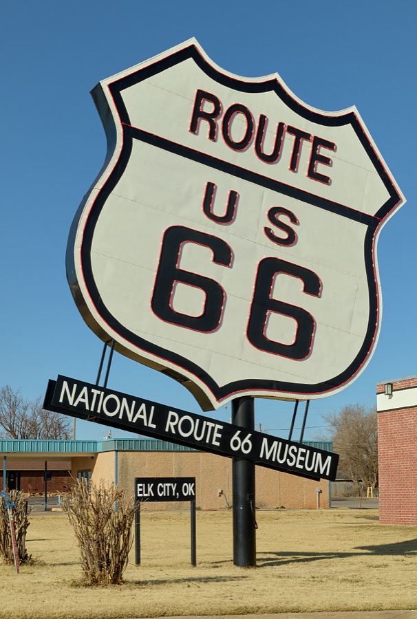
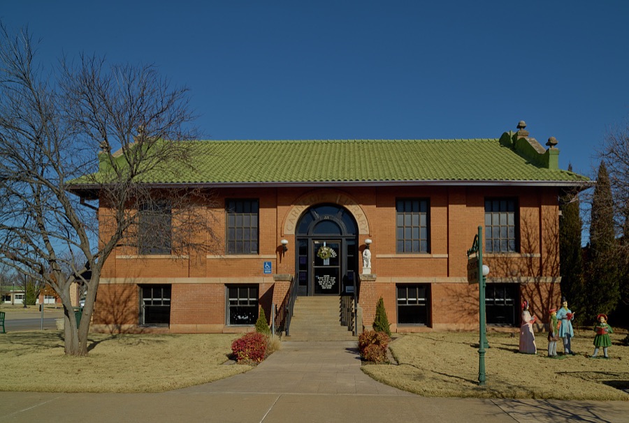
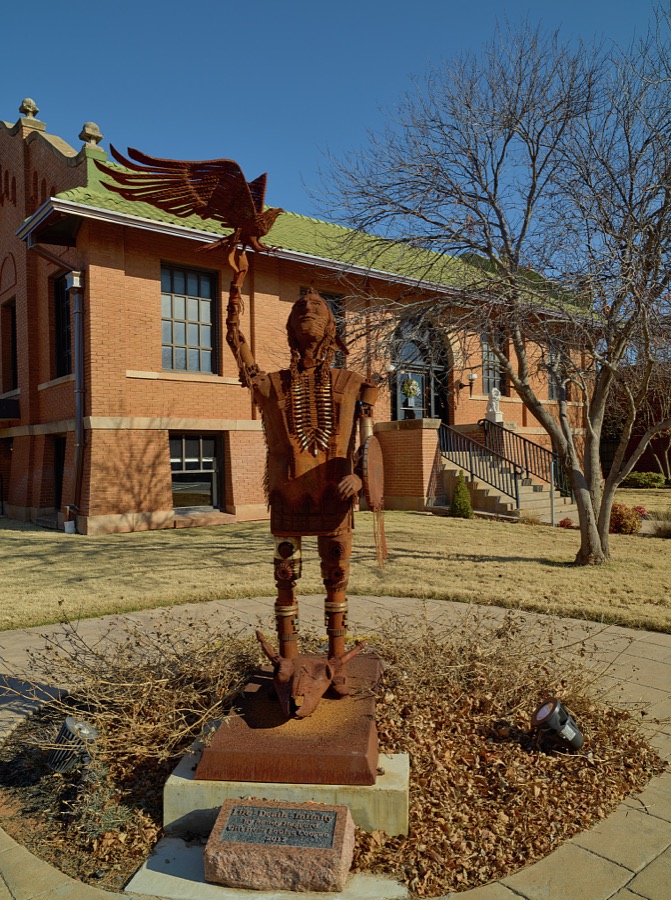
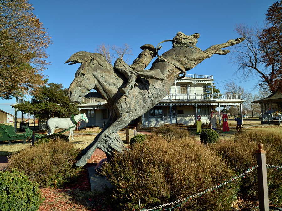
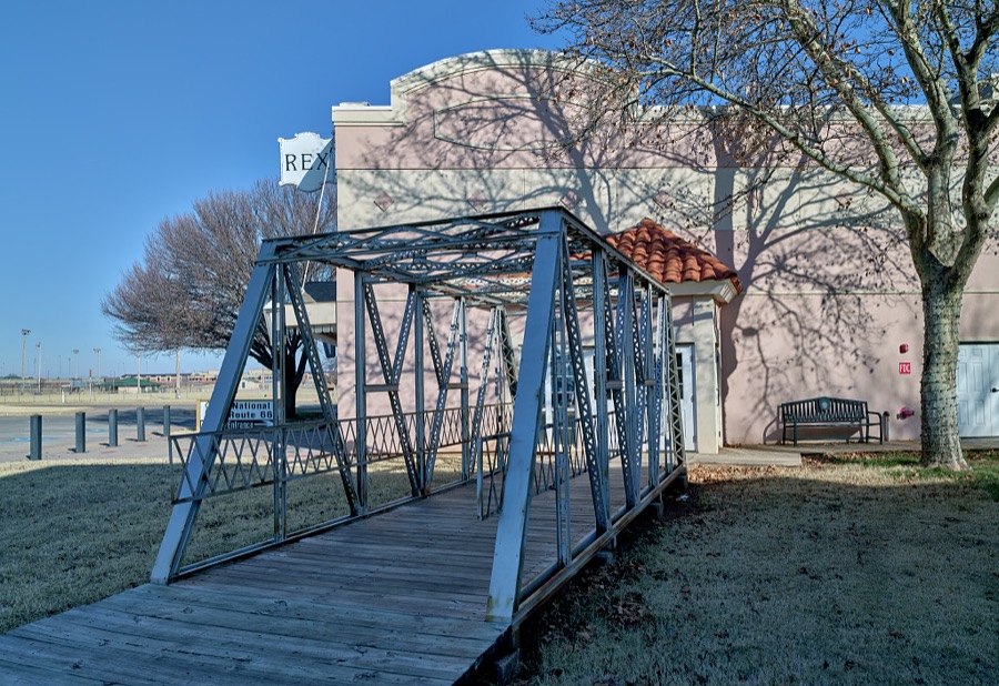
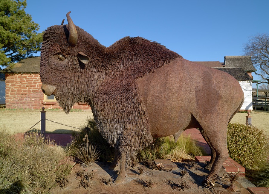
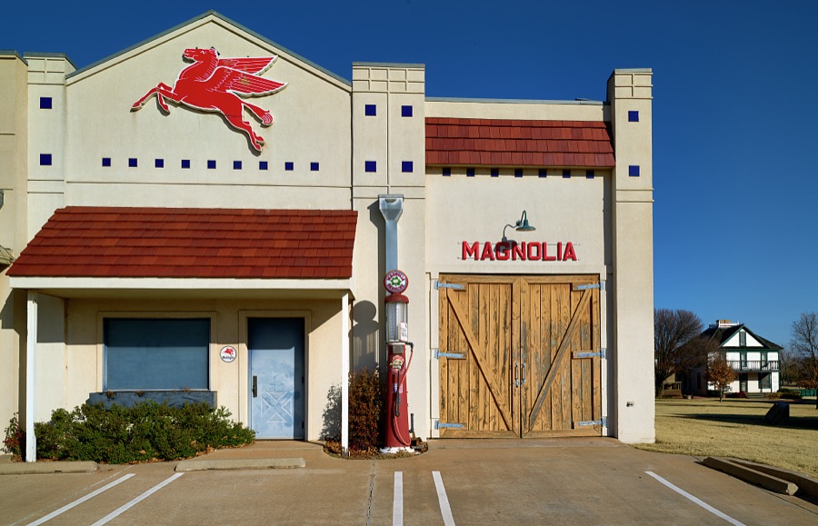
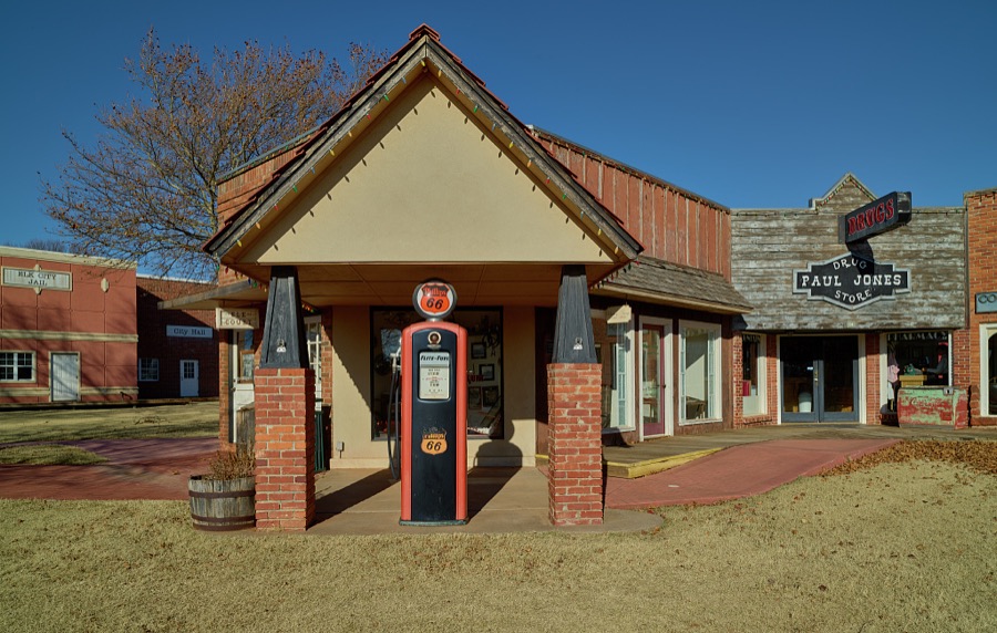
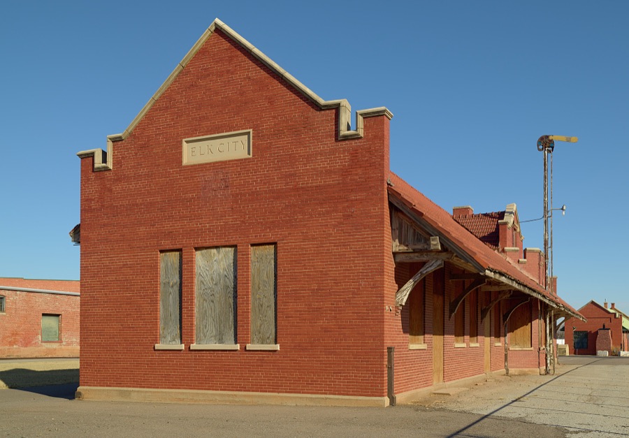
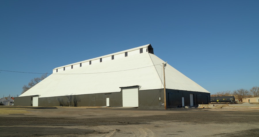
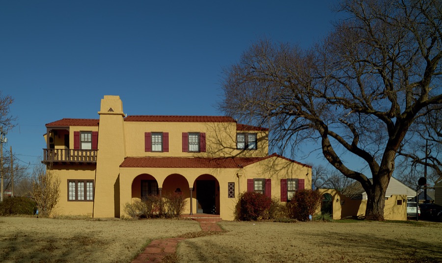
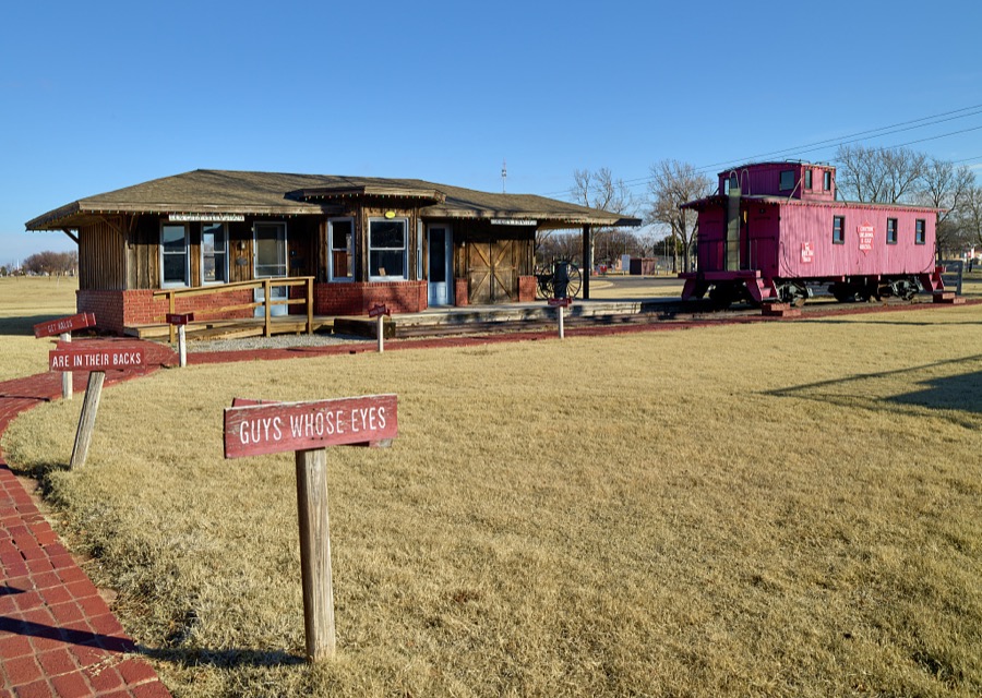
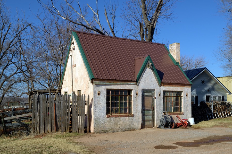
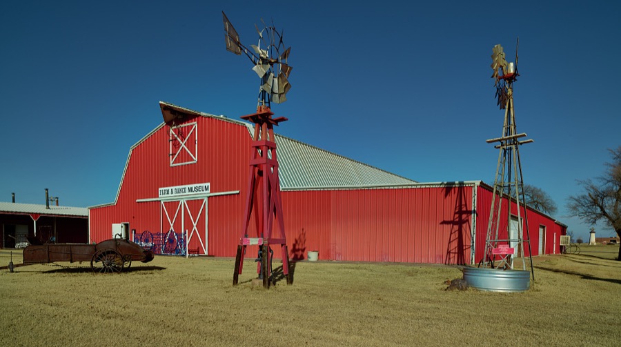
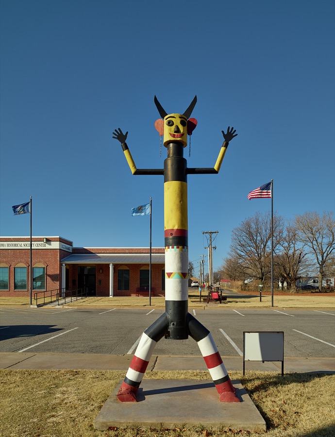
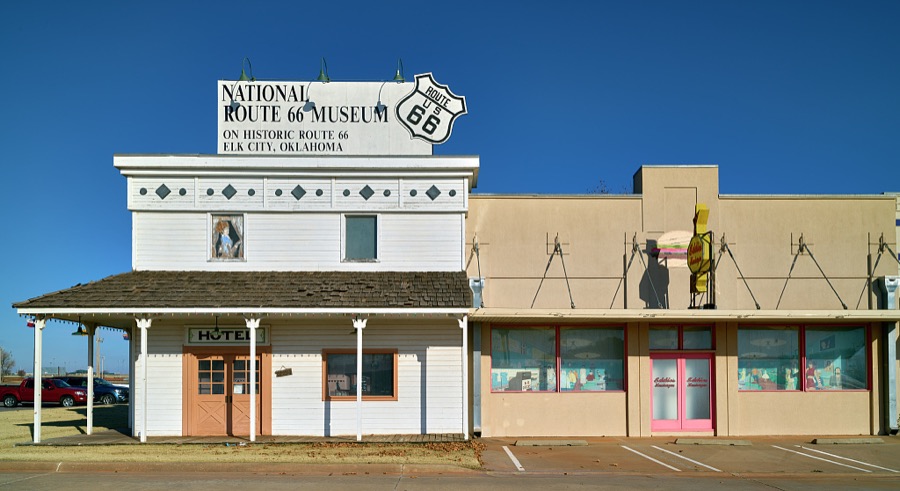

Every property in this county listed on the National Register of Historic Places, with the year it was listed and the federal nomination document.
| Photograph | Property | Type | Listed | Reference |
|---|---|---|---|---|
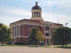 | Beckham County Courthouse | building | 1984 | 84002968 |
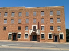 | Casa Grande Hotel | building | 1995 | 95000043 |
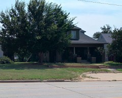 | J.W. Danner House | building | 2002 | 02000169 |
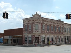 | First National Bank | building | 1979 | 79001987 |
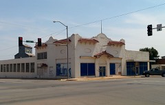 | Hedlund Motor Company Building | building | 1983 | 83002072 |
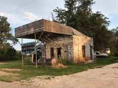 | Magnolia Service Station | building | 1995 | 95000028 |
 | Sayre Champlin Service Station | building | 2004 | 04000130 |
 | Sayre City Park | site | 2004 | 04000127 |
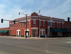 | Sayre Downtown Historic District | district | 2002 | 02000972 |
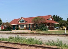 | Sayre Rock Island Depot | building | 2000 | 00000654 |
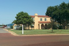 | Storm House | building | 1983 | 83004162 |
| West Winds Motel | building | 2004 | 04000520 | |
| Whited Grist Mill | building | 1976 | 76001554 |
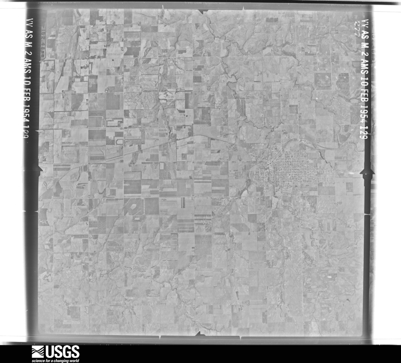
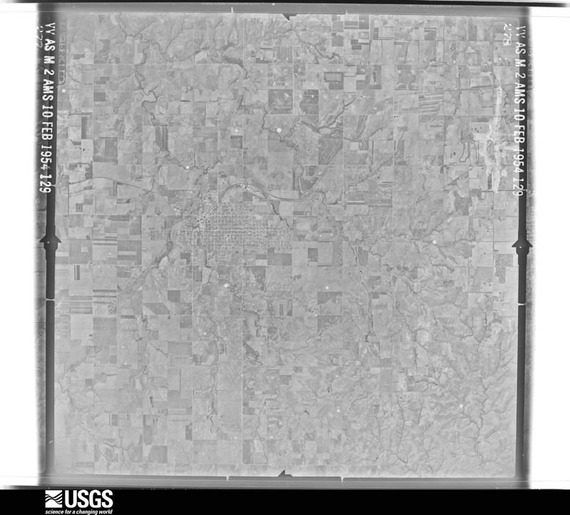
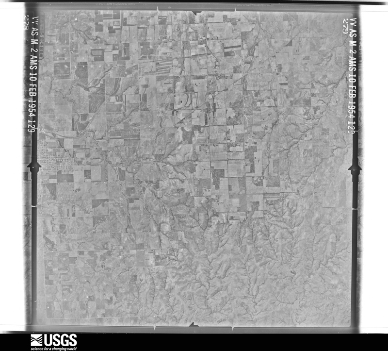
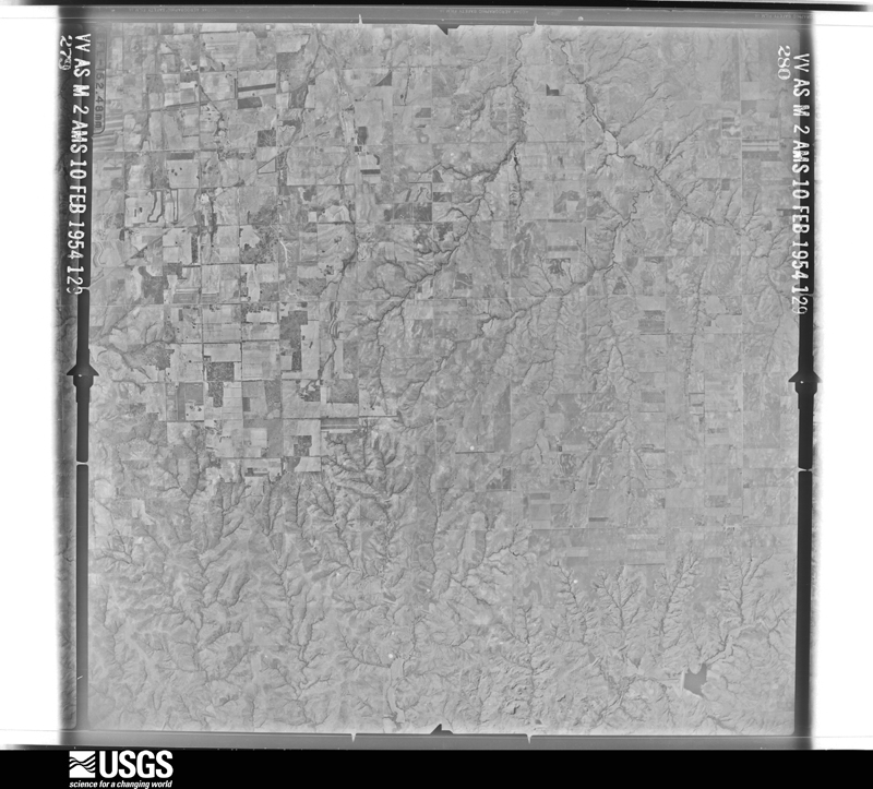
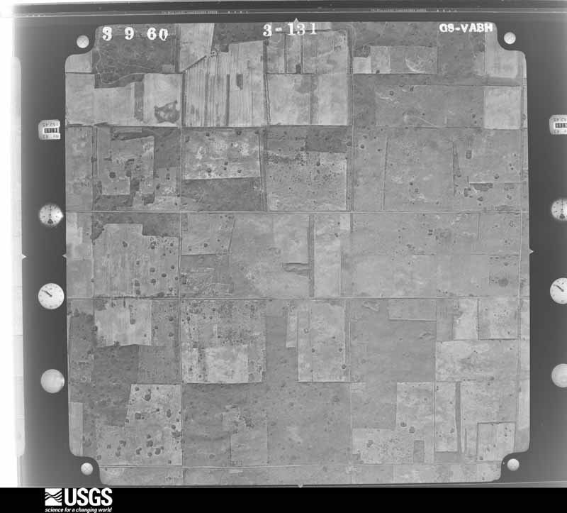
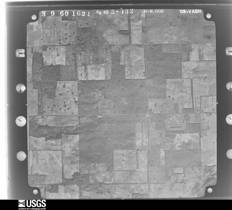
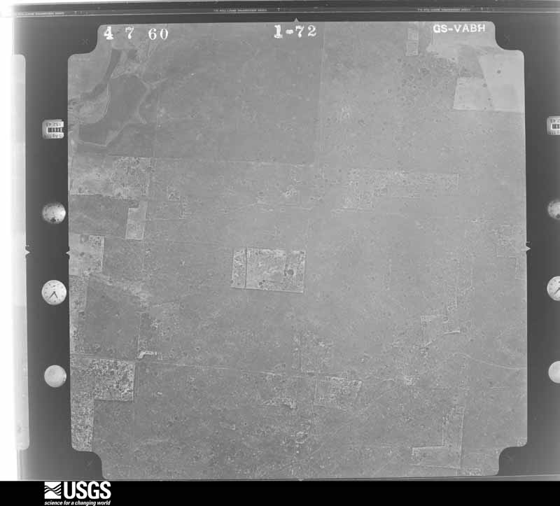
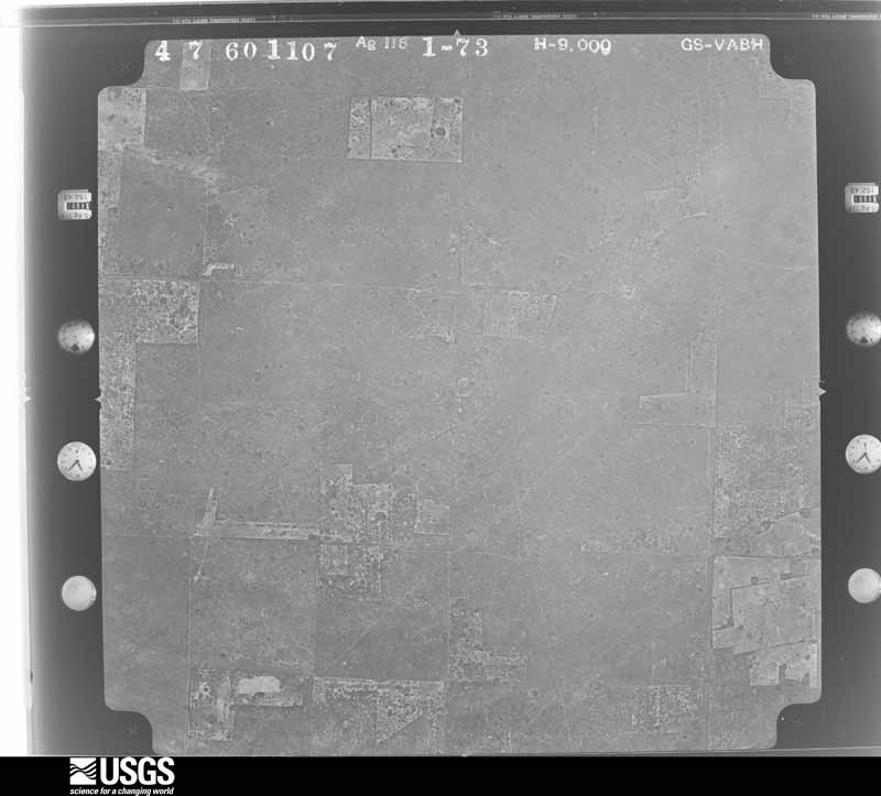
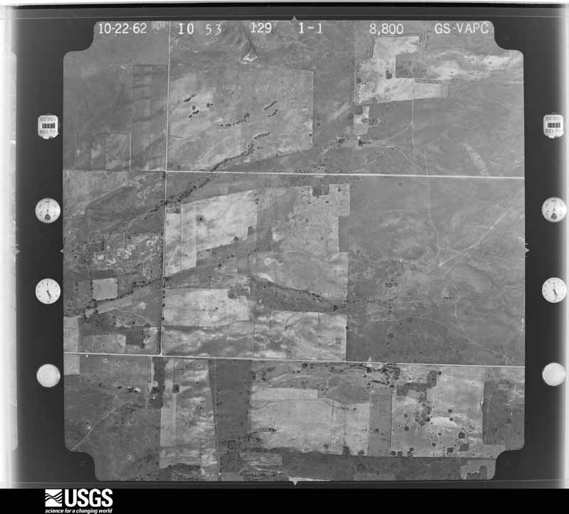
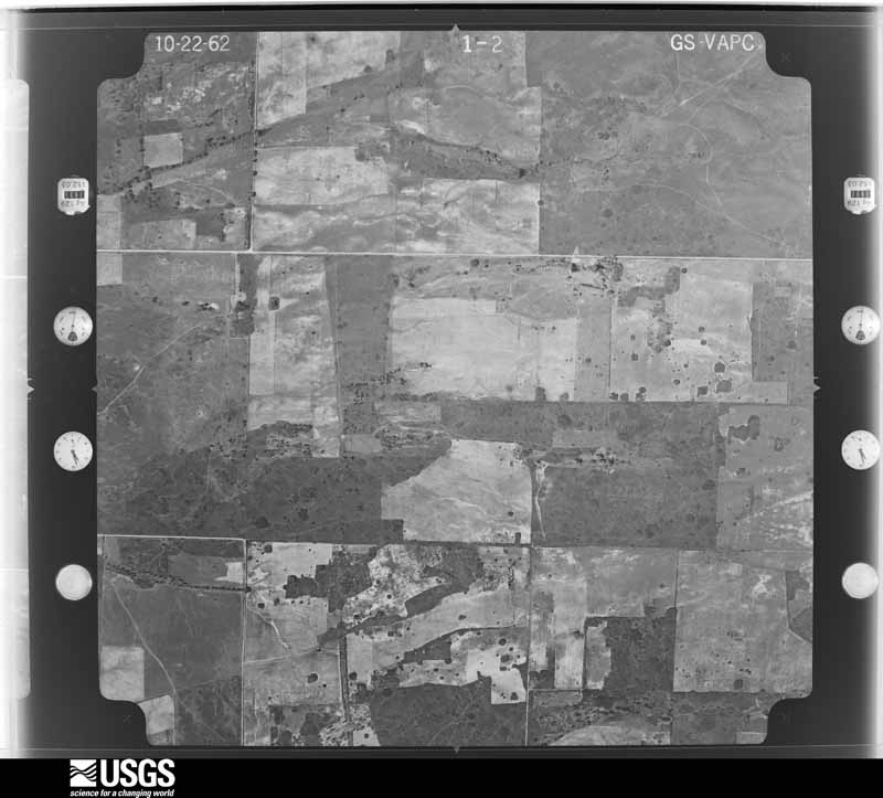
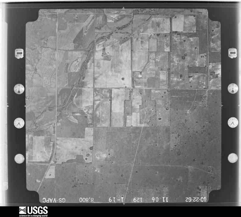
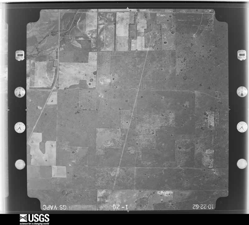
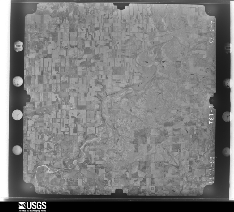
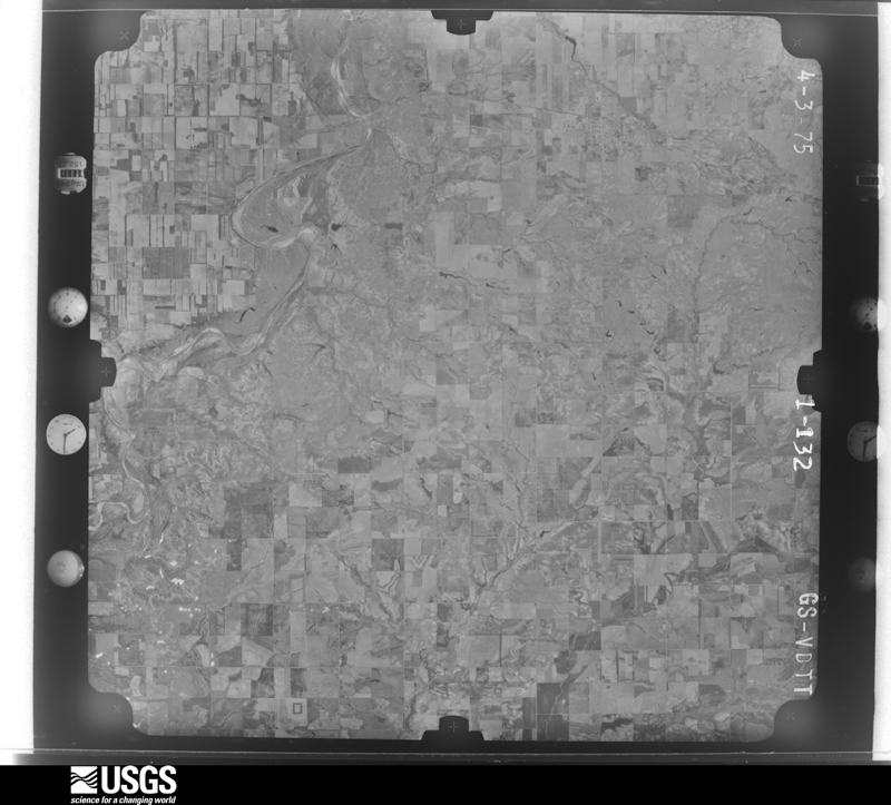
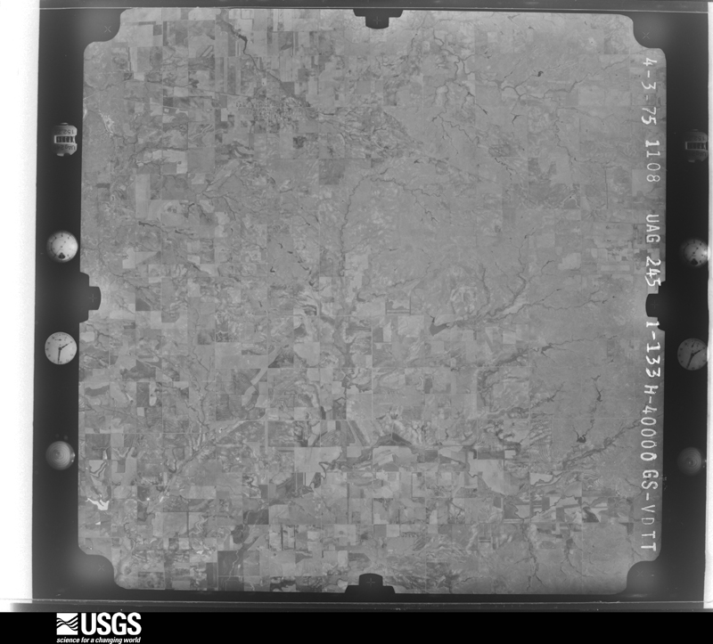
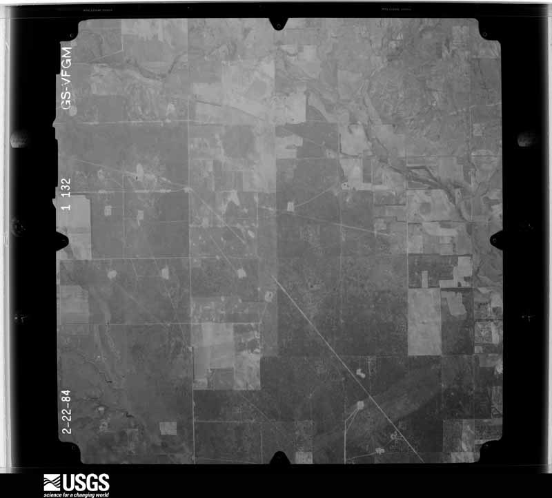
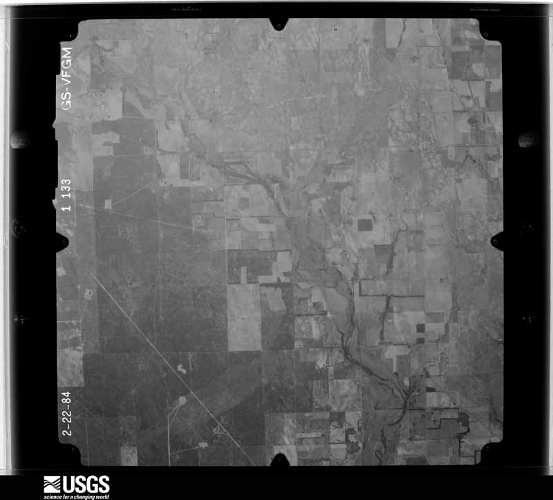
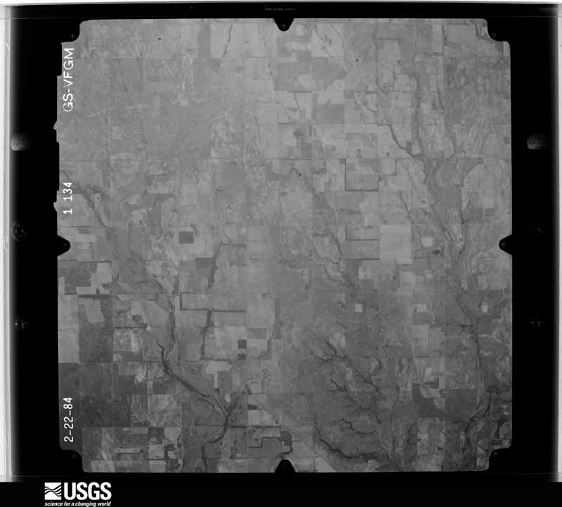
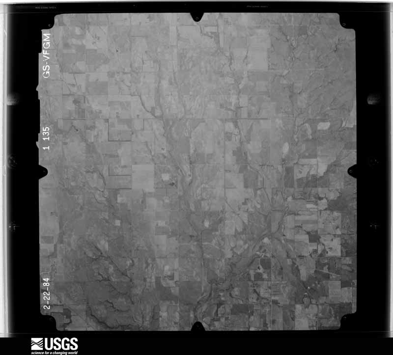
Flown by the U.S. Geological Survey between 1937 and 1989, the Aerial Photo Single Frames collection is the definitive mid-century view of the land: fields, roads and rivers as the camera saw them. The Survey holds 411 frames inside the rectangle that bounds this county; the 23 frames below were taken over the county itself, chosen across the decades of flights (at most four a year from that rectangle), so one flight cannot crowd out the rest. The full set is free to browse and download at EarthExplorer under the dataset Aerial Photo Single Frames.




The thermometers that kept this county's weather, and the gages that measured the flow of its streams, as the federal records hold them. The extremes below are measured values from those records, not estimates.
Who lived here in 1950, one enumeration district at a time, as the Census Bureau described each district. Each row opens its official National Archives result, with Population Schedules and ED Maps available there.
Every wildfire the federal occurrence database records inside this county: 8 of them, burning about 10,574 acres. 1 started naturally and 2 were recorded as arson. Each settlement page carries the fires within five miles of it.
| Reported cause | Fires |
|---|---|
| Missing data/not specified/undetermined | 4 |
| Arson/incendiarism | 2 |
| Natural | 1 |
| Debris and open burning | 1 |
The five largest, by the area the report gives. Two of them were set deliberately.
| Date | Cause | Size | Reported by | Name on the report |
|---|---|---|---|---|
| 3 November 2005 | Missing data/not specified/undetermined | 4,000 acres | Oklahoma Division of Forestry | ERICK FIRE |
| 7 January 2006 | Missing data/not specified/undetermined | 3,000 acres | Oklahoma Division of Forestry | HATSTACK CREEK |
| 16 March 2018 | Missing data/not specified/undetermined | 1,466 acres | Oklahoma Division of Forestry | MERRITT |
| 9 August 2011 | Natural | 1,385 acres | Oklahoma Division of Forestry | HIGHWAY 30 |
| 6 March 2017 | Missing data/not specified/undetermined | 600 acres | Oklahoma Division of Forestry | DELHI FIRE |
| 30 March 2006 | Arson/incendiarism | 100 acres | Concho Field Office | ELK 1 |
| 30 March 2006 | Arson/incendiarism | 20 acres | Concho Field Office | ELK 2 |
| 6 August 2006 | Debris and open burning | 3.0 acres | Concho Field Office | 8570 |
Every settlement page carries the fires within five miles of it - see the settlement index below.
The NOAA Storm Events Database holds 802 reports for this county, causing 1 death, 18 injuries and about $39,685,410 in recorded property damage. Each settlement page carries the reports that name it.
| Kind of event | Reports |
|---|---|
| Hail | 437 |
| Thunderstorm Wind | 257 |
| Tornado | 75 |
| Flash Flood | 17 |
| Lightning | 7 |
| Flood | 5 |
| Heavy Rain | 3 |
| Funnel Cloud | 1 |
The most serious of them, by death, then injury, then recorded damage. The accounts are quoted exactly as the forecast office filed them.
| When | Event | Place named | Harm | What the report says |
|---|---|---|---|---|
| May 2017 | Tornado (EF2) | Carter | 1 killed, 10 hurt, $25,000,000 | The Elk City tornado initially developed near the North Fork of the Red River about 3 miles northwest of Carter. Damage was primarily to trees and power poles for the first few miles as it moved northeast approaching State Highway 34.||One fatality occurred on State Highway 34 (Merritt Road) south of State Highway 152 when his vehicle was impacted by the tornado. According to law enforcement, the victim had been in a mobile home, then left in his vehicle to try and find more substantial shelter. He had returned to his mobile home and it's believed he was still in the vehicle when the tornado hit.||Moving northeast, permanent homes and mobile homes were damaged, and damage continued to power poles and trees. About two miles southwest of Elk City Reservoir, damage intensity with persistent EF-2 damage into Elk City as the tornado continued northeast over Elk City Reservoir and through a neighborhood on south side of Elk City just west of State Highway 6. Numerous homes were damaged and mobile homes damaged or destroyed from southwest of Elk City Reservoir through the south side of Elk City. The tornado continued moving east-northeast out of Elk City and moved into Washita County. ||Damage assessments found 66 homes destroyed (62 in Elk City) and 140 homes damaged (126 in Elk City). In addition, 3 businesses were destroyed and 5 businesses were damaged by the tornado. Damage costs are a rough estimate. |
| July 1990 | Thunderstorm Wind | not stated | 2 hurt | no account filed |
| May 2007 | Tornado (EF3) | Erick | 1 hurt, $5,000,000 | This is the first tornado that occurred in Oklahoma with the southern tornadic supercell. The tornado appears to have developed 1/2 mile north of E1130 road and along Highway 30 in northern Beckham County, about 2 1/2 miles south of Sweetwater. The first evidence of a tornado was damage to an outbuilding at a gas facility on the west side of the highway along with some tree damage. The tornado moved north along and parallel to Highway 30, damaging trees, homes and some outbuildings. Damage in this area was mainly in the EF0 range. ||The most significant damage occurred when the tornado struck the Sweetwater school. At this location, the tornado is estimated to have been 100-150 yards wide. The most significant damage was to a metal building that was the school`s multi-purpose building, which was almost completely destroyed. The anchoring that connected the building to the foundation appeared to have failed, allowing all but the most northern section of the building to collapse. A small building that connected this building with the school`s gymnasium suffered only slight damage. The gymnasium, at the northwest corner of the school, suffered substantial roof damage, which appeared to have caused the west masonry wall of the school to collapse outward. ||Other damage on the school property consisted of a small storage building of similar construction as the multi-purpose building being completely destroyed, a bus barn/garage structure suffering damage when the large garage doors blew inward, and damage to trees, power lines and fences. ||A pick up truck, which had been parked in the school`s parking lot, was rolled/tossed approximately 100 yards to the north. A horse trailer that had been near the storage building at the southwest edge of the school property was found more than one quarter mile away in a field. ||A man suffered minor injuries near this location.||Just north of the school, a home was damaged and an oil storage facility was also hit. An oil tank from this location was found approximately 500 yards away. ||Several animals were killed when a garage was destroyed. A RV was also destroyed. Numerous cars and school buses were damaged/destroyed. ||The damage to the multi-purpose building at the Sweetwater school is consistent with damage at the low end of the EF-3 scale. The remainder of the damage was primarily in the EF0-EF1 category.||The tornado continued and crossed into Roger Mills County. Monetary damages were estimated. || |
| April 2003 | Tornado (F1) | Mayfield | 1 hurt, $1,020,000 | A tornado moved from 2 miles SSW to 0.5 miles SSE of Sweetwater causing major damage to portions of the Sweetwater school. A man received minor injuries when the trailer he was in rolled before coming to rest next to a fence. Several fence posts that had been cemented into the ground at the baseball field were uprooted and a forty foot by forty foot barn was destroyed. |
| April 1980 | Tornado (F1) | not stated | 1 hurt, $250,000 | no account filed |
| May 1998 | Thunderstorm Wind | Sayre | 1 hurt, $36,000 | no account filed |
| May 2001 | Flash Flood | Elk City | 1 hurt, $30,000 | Several cars stalled in high water, and a young boy was swept into a drainage channel but pulled to safety. |
| May 1959 | Tornado (F2) | not stated | 1 hurt, $2,500 | no account filed |
| May 2009 | Thunderstorm Wind | Sayre | $3,500,000 | Signs were blown onto Interstate 40 near exit 26. The west bound lanes had to be closed briefly as a result. Monetary damages were estimated. |
| May 2015 | Flash Flood | Elk City | $500,000 | Numerous homes flooded with water rescues ongoing. |
| June 2008 | Thunderstorm Wind | Elk City | $500,000 | The roof of the Lincoln Teen Center was mostly removed by the strong winds, with another sustaining major damage. Numerous trees were blown down and several dumpsters were blown over. High voltage transmission structures and power lines were blown down. The Holiday Inn sign was also blown down. Monetary damages were estimated. |
| August 1994 | Tornado (F1) | to | $500,000 | no account filed |
| May 2015 | Flash Flood | Elk City | $300,000 | Significant flash flooding in Elk City. Numerous roads closed and impassable. Several water rescues occurred with water flooding several homes. |
| March 1986 | Tornado (F1) | not stated | $250,000 | no account filed |
| May 1982 | Tornado (F2) | not stated | $250,000 | no account filed |
| May 1977 | Tornado (F3) | not stated | $250,000 | no account filed |
| March 1975 | Tornado (F1) | not stated | $250,000 | no account filed |
| October 1973 | Tornado (F1) | not stated | $250,000 | no account filed |
| April 1962 | Tornado (F3) | not stated | $250,000 | no account filed |
| June 1955 | Tornado (F1) | not stated | $250,000 | no account filed |
| February 2023 | Tornado (EF1) | Erick | $75,000 | A tornado was observed crossing State Highway 30 to the southwest of Erick. The tornado moved east-northeast and then northeast to the south and southeast of Erick. The Erick Fire Department observed damage to trees and a barn on E 1280 Road. As the tornado moved northeast, another barn was destroyed, and damage was observed to power poles and a pivot irrigator. |
| April 2026 | Thunderstorm Wind | Elk City | $50,000 | Thunderstorm wind damage occurred in and around Elk City, including damage to a steel building, trees and powerlines. A tractor trailer was also overturned along Interstate 40. The location is approximate, and the event time is estimated based on radar observations and a nearby significant wind gust at Elk City Regional Business Airport. |
| May 2017 | Thunderstorm Wind | Elk City | $50,000 | Numerous homes and structures were damaged including roofs removed. One home collapsed. |
| September 2003 | Flash Flood | Erick | $50,000 | Four to nine inches of rain fell in Beckham county causing many flooding problems. Water went into some businesses in Erick. The baseball field was flooded and fences at the field were downed by moving water. Standing water was at least four feet deep in some areas. An elderly man had to be evacuated from his vehicle which was stalled due to high water. |
| May 2001 | Thunderstorm Wind | Erick | $50,000 | Four to five cotton trailers attached to each other were blown over, and a nearby barn was damaged. |
| May 1998 | Thunderstorm Wind | Sayre | $50,000 | no account filed |
| October 1998 | Lightning | Elk City | $50,000 | no account filed |
| May 1993 | Tornado (F0) | Sayre | $50,000 | no account filed |
| May 1998 | Thunderstorm Wind | Carter | $45,000 | no account filed |
| May 1998 | Thunderstorm Wind | Erick | $45,000 | no account filed |
| April 2002 | Tornado (F1) | Elk City | $40,000 | This tornado was observed by the Elk City Fire Dept., near Highway 34, in northeast Beckham County. A sw-ne oriented, anchored mobile home was blown 50 yards northward with only the foundation remaining. A 16 foot stock trailer, oriented n-s, was twisted 180 degrees, and barns were destroyed. |
| March 2000 | Thunderstorm Wind | Elk City | $40,000 | A barn and camper were destroyed. Three fences were blown over. A barn and shed were damaged. A cattle semi-trailer was blown over, and roofs of a house and barn were blown off. |
| May 1999 | Thunderstorm Wind | Elk City | $40,000 | no account filed |
| May 1997 | Thunderstorm Wind | Elk City | $35,000 | Severe thunderstorm winds in Elk City blew the roof off of one business and blew eight overhead doors out of several other businesses. On the edge of town an 11,000 pound tank trailer was blown onto its side and into a fence. Countless trees and limbs were snapped and signs were downed throughout town. |
| July 2023 | Thunderstorm Wind | Elk City | $30,000 | Numerous social media images showing the front entryway of a Walmart Supercenter blown inward by thunderstorm wind. Time is radar estimated. |
| June 1996 | Thunderstorm Wind | Sayre | $30,000 | no account filed |
| June 2025 | Thunderstorm Wind | Delhi | $25,000 | A relayed image shows a center irrigation pivot blown over. The location is approximate, and the event time is estimated from radar observations. |
| May 2005 | Thunderstorm Wind | Elk City | $25,000 | Strong thunderstorm wind gusts blew over a double-wide trailer located on the northeast corner of the intersection of Highway 152 and Highway 6, south of Elk City. Stop signs were also blown over about a mile south of this intersection. |
| April 1984 | Tornado (F1) | not stated | $25,000 | no account filed |
| June 1983 | Tornado (F1) | not stated | $25,000 | no account filed |
| May 1977 | Tornado (F3) | not stated | $25,000 | no account filed |
| April 1968 | Tornado (F2) | not stated | $25,000 | no account filed |
| May 1950 | Tornado (F2) | not stated | $25,000 | no account filed |
| October 2001 | Tornado (F1) | Elk City | $20,000 | A5. Beckham County portion. This tornado ripped off the southwest corner off a mobile home and partially removed its roof in Beckham County. |
| August 1999 | Lightning | Sayre | $20,000 | Lightning struck a tank battery used for oil and gas storage. The battery was destroyed by fire. |
| May 1999 | Thunderstorm Wind | Sayre | $20,000 | no account filed |
| May 1998 | Thunderstorm Wind | Elk City | $18,500 | no account filed |
| May 1998 | Thunderstorm Wind | Sayre | $15,500 | no account filed |
| August 2016 | Thunderstorm Wind | Delhi | $15,000 | Several barn roofs were blown off and irrigation equipment was moved/damaged. Also, power lines were downed in Delhi. |
| June 2008 | Thunderstorm Wind | Elk City | $15,000 | Large power poles were blown down. Monetary damages were estimated. |
| April 2002 | Thunderstorm Wind | Elk City | $15,000 | The roof and sign of a motel along Interstate 40 were damaged, and power lines were downed. |
| May 1997 | Thunderstorm Wind | Sayre | $15,000 | Severe thunderstorm winds blew part of the roof off of the Sayre elementary school library. Winds also uprooted large trees and downed at least one utility pole in town. Reports of more minor tree and roof damage were widepsread across Sayre. |
| May 1999 | Thunderstorm Wind | Erick | $15,000 | no account filed |
| May 1999 | Thunderstorm Wind | Elk City | $15,000 | no account filed |
| May 1998 | Thunderstorm Wind | Elk City | $13,000 | no account filed |
| July 2024 | Thunderstorm Wind | Delhi | $10,000 | Multiple power poles blown down. Time is radar estimated. |
| June 2023 | Thunderstorm Wind | Elk City | $10,000 | Large free-standing communications tower collapsed due to thunderstorm wind. Time is radar estimated. |
| August 2023 | Thunderstorm Wind | Elk City | $10,000 | Phone call report of numerous power poles blown down and sporadic roof damage across Elk City. Time is radar estimated. |
| May 2019 | Thunderstorm Wind | Texola | $10,000 | Semi overturned at mile marker 3 on I-40. |
| August 2018 | Thunderstorm Wind | Delhi | $10,000 | Two structures received roof damage with shingles blown off. Pivot irrigation system was blown over. Several tree limbs up to six inches in diameter snapped off trees. |
The Survey's mineral resources record lists 20 workings inside this county. 5 still produce and 15 are closed or unrecorded. Each settlement page carries the workings within five miles of it.
| Commodity | Workings |
|---|---|
| Sand and Gravel, Construction | 17 |
| Copper | 3 |
The least common of them first, because a county's hundredth gravel pit says nothing its first ten did not.
| Where | Site | Commodity | Status | Recorded |
|---|---|---|---|---|
| Moravia West-1 | Copper | Occurrence | 1852 | |
| Van Vacter-1 | Copper | Occurrence | 1970 | |
| Van Vacter-2 | Copper | Occurrence | 1970 | |
| Unknown Gravel Pit | Sand and Gravel, Construction | Producer | ||
| Unknown Gravel Pit | Sand and Gravel, Construction | Producer | ||
| Unknown Gravel Pit | Sand and Gravel, Construction | Past Producer | ||
| Unknown Gravel Pit | Sand and Gravel, Construction | Producer | ||
| Unknown Gravel Pit | Sand and Gravel, Construction | Past Producer | ||
| Unknown Gravel Pit | Sand and Gravel, Construction | Past Producer | ||
| Unknown Gravel Pit | Sand and Gravel, Construction | Past Producer | ||
| Unknown Gravel Pit | Sand and Gravel, Construction | Producer | ||
| Unknown Gravel Pit | Sand and Gravel, Construction | Past Producer | ||
| Unknown Gravel Pit | Sand and Gravel, Construction | Past Producer | ||
| Unknown Gravel Pit | Sand and Gravel, Construction | Past Producer | ||
| Unknown Gravel Pit | Sand and Gravel, Construction | Past Producer | ||
| Unknown Gravel Pit | Sand and Gravel, Construction | Past Producer | ||
| Unknown Gravel Pit | Sand and Gravel, Construction | Past Producer | ||
| Unknown Gravel Pit | Sand and Gravel, Construction | Past Producer | ||
| Unknown Gravel Pit | Sand and Gravel, Construction | Producer | ||
| Unknown Gravel Pit | Sand and Gravel, Construction | Past Producer |
Named settlements recorded in the Geographic Names Information System, each with the topographic sheets covering it. Villages, hamlets and abandoned places alike. Each is shown with the nearest named watercourse or landform and the survey quadrangle it falls on. The 3 places that were also surveyed for fire insurance come first, with the number of atlases and photographs held for them.
Elk City census division · 73644 · Elk City quadrangle
8 sheets, 1955 to 1987
Fire insurance: 7 atlases
Erick census division · 73645 · Erick quadrangle
9 sheets, 1955 to 1989
Fire insurance: 3 atlases
Sayre census division · 73662 · On Short Creek · Sayre quadrangle
9 sheets, 1955 to 1989
Fire insurance: 6 atlases
Sayre census division · 73662 · On Coffee Bean Creek · Doxey quadrangle
9 sheets, 1955 to 1989
Erick census division · 73666 · On West Buffalo Creek · Mayfield quadrangle
9 sheets, 1955 to 1989
Carter census division · 73644 · On Sadler Creek · Carter East quadrangle
9 sheets, 1955 to 1989
8 topographic sheets and 7 fire insurance atlases, 1904 to 1947
9 topographic sheets and 6 fire insurance atlases, 1904 to 1937
9 topographic sheets and 3 fire insurance atlases, 1924 to 1932