 Block
From the record
18 National Register listings published here.
Sources: the National Register database, National Park Service
32 topographic sheets and 24 fire insurance atlases across 5 places.
18 National Register listings published here.
Sources: the National Register database, National Park Service
Taken for the Office of War Information and the Farm Security Administration, who photographed the country between 1935 and 1944. Works of United States government photographers, with no known restriction on use. Each opens its catalogue record.
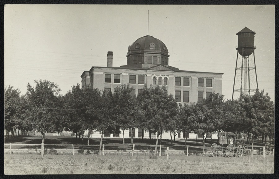
Every property in this county listed on the National Register of Historic Places, with the year it was listed and the federal nomination document.
| Photograph | Property | Type | Listed | Reference |
|---|---|---|---|---|
| Acre Family Barn | building | 2013 | 13000073 | |
 | Blaine County Courthouse | building | 1984 | 84002972 |
| Cantonment | site | 1970 | 70000527 | |
| Jesse Chisholm Grave Site | site | 1971 | 71000658 | |
| Cronkhite Ranch House | building | 1983 | 83002073 | |
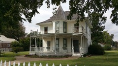 | Thompson Benton Ferguson House | building | 1973 | 73001555 |
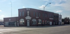 | Gillespie Building | building | 1989 | 89001963 |
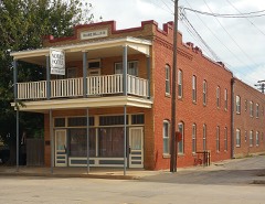 | Noble Hotel | building | 1996 | 96000491 |
| Okeene Flour Mill | building | 1976 | 76001555 | |
| Okeene Service Station (Additional Documentation) | building | 2024 | 100010776 | |
| Old Plant Office Building, U.S. Gypsum Co. | building | 1983 | 83002074 | |
| Old Salt Works | site | 1983 | 83002075 | |
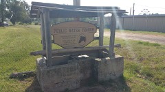 | Public Water Trough | structure | 1989 | 89001965 |
| Shinn Family Barn | building | 1983 | 83002076 | |
| Sooner Co-op Association Elevator (West) | structure | 2000 | 00001040 | |
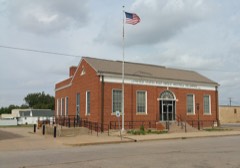 | United States Post Office Watonga | building | 2009 | 09000213 |
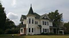 | J. H. Wagner House | building | 1983 | 83002077 |
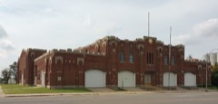 | Watonga Armory | building | 1994 | 94000491 |
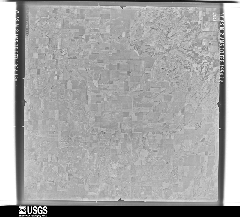
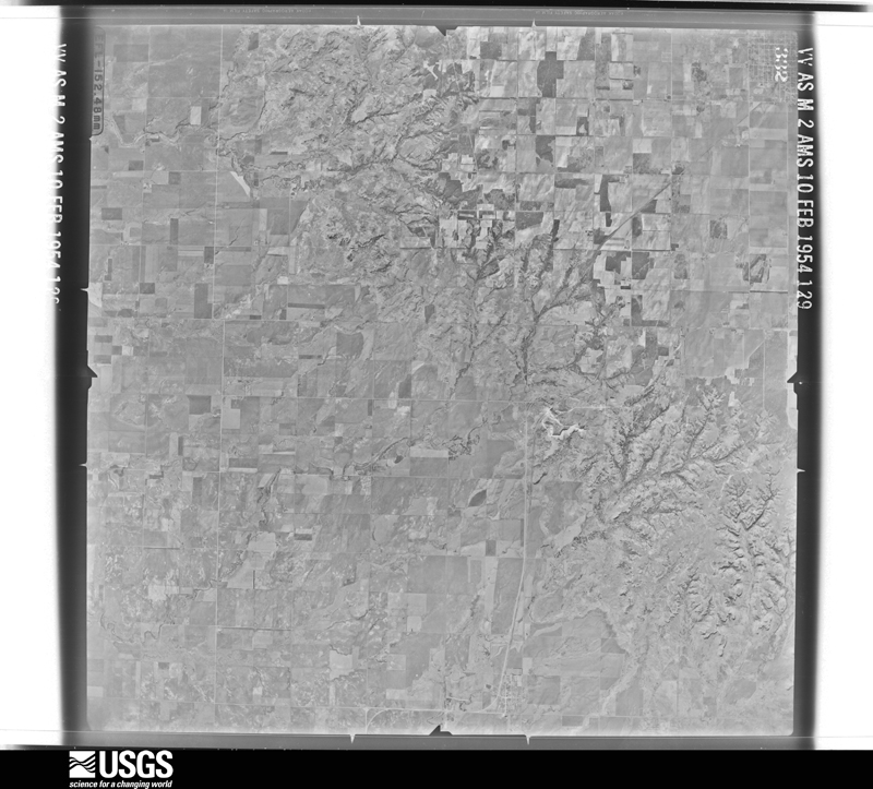
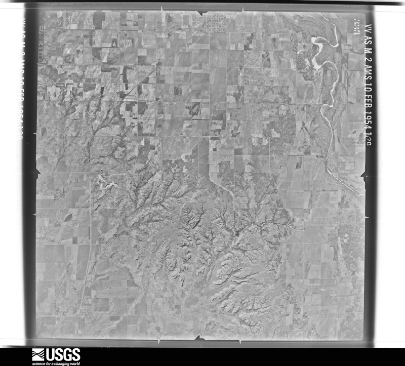
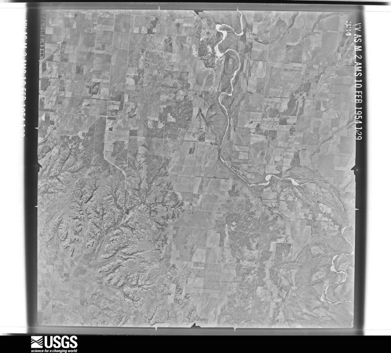
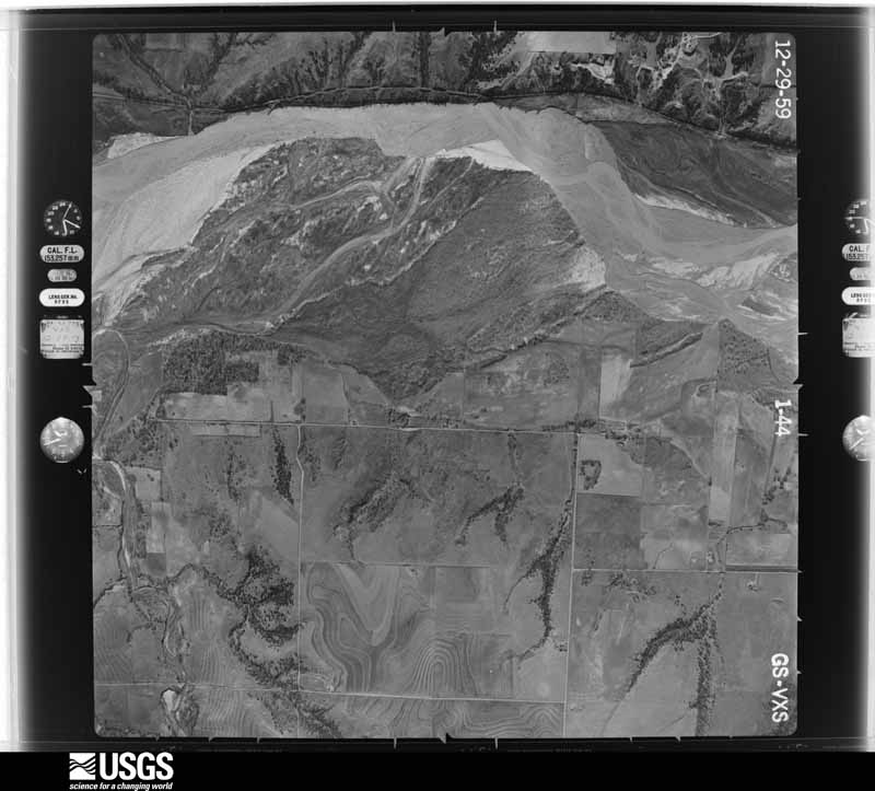
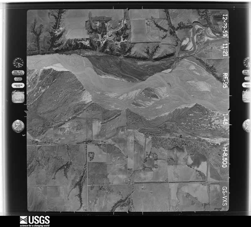
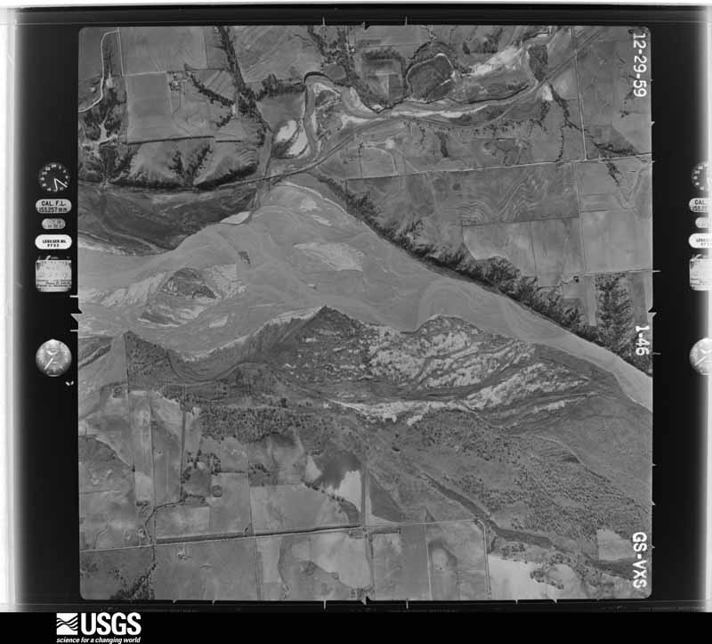
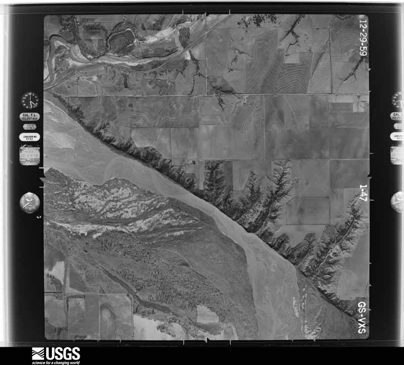
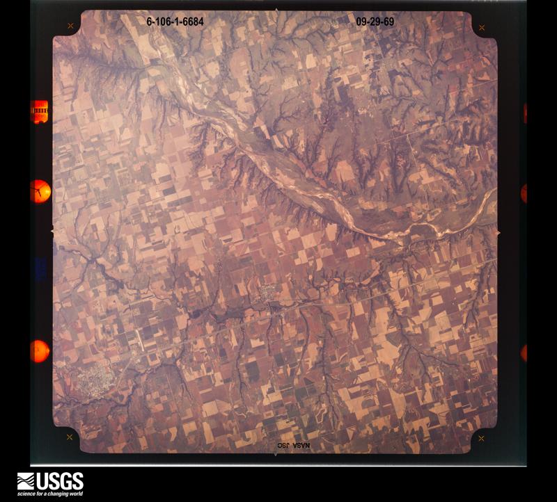
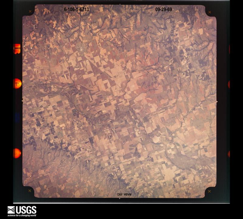
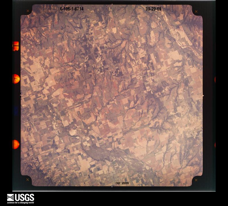
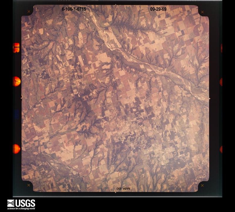
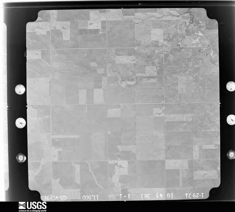
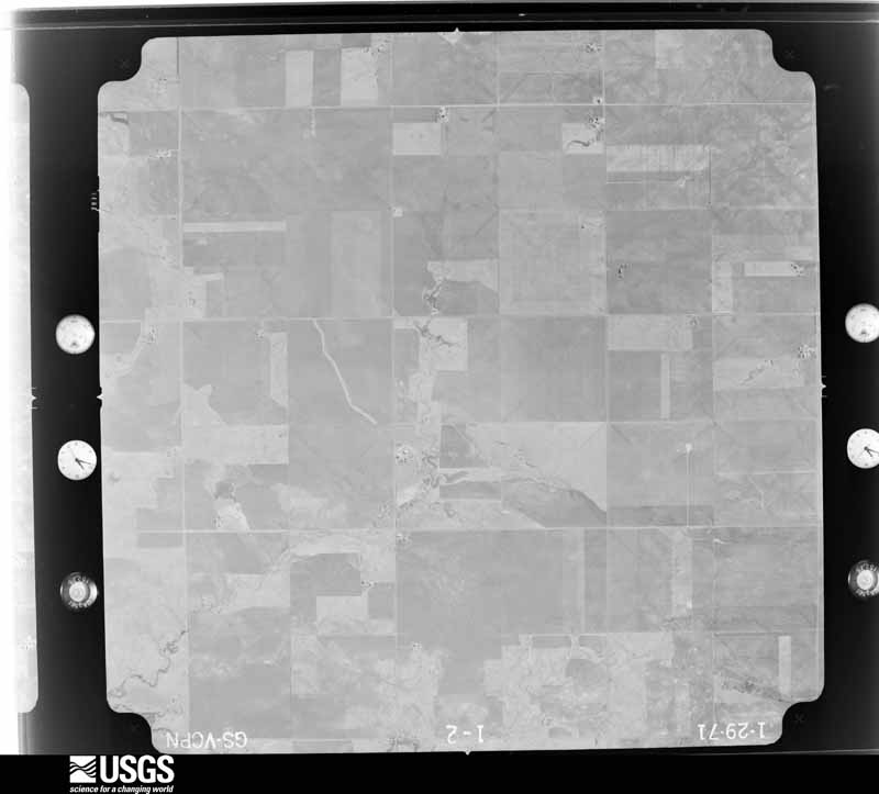
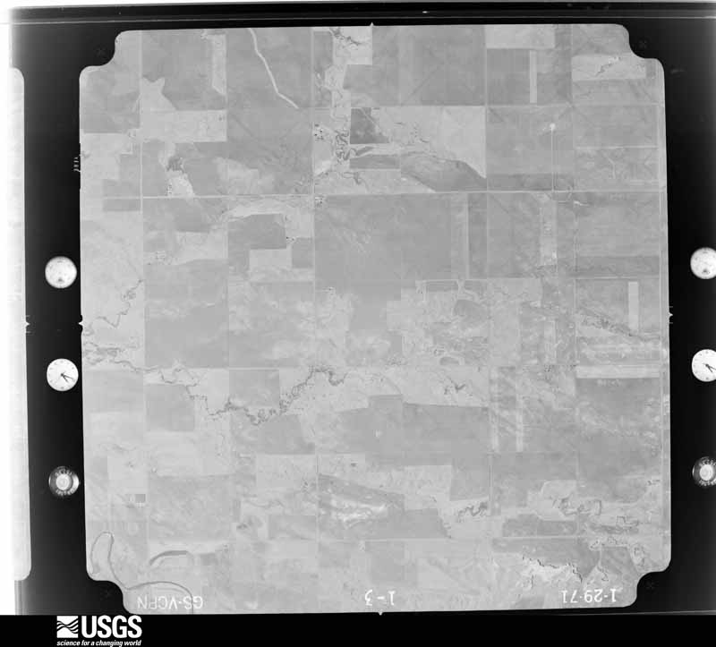
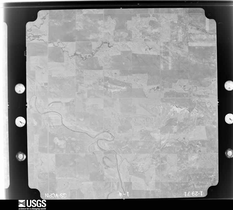
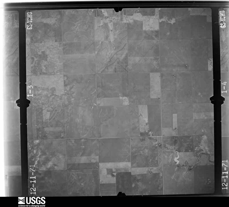
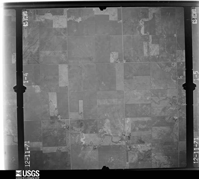
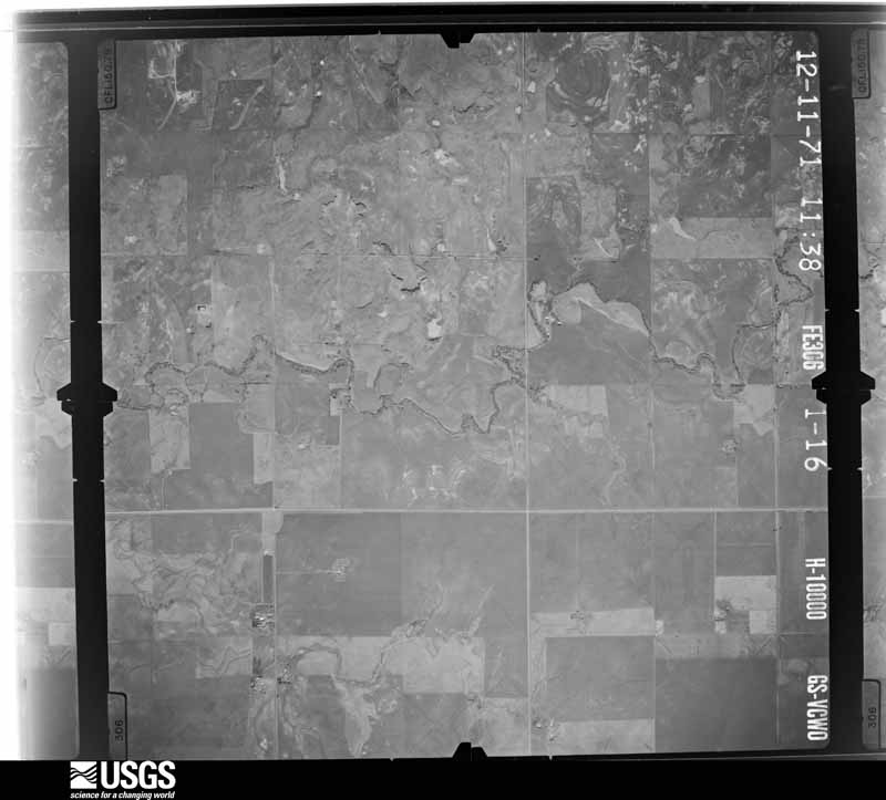
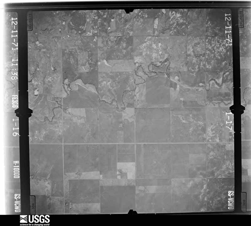
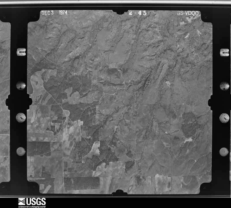
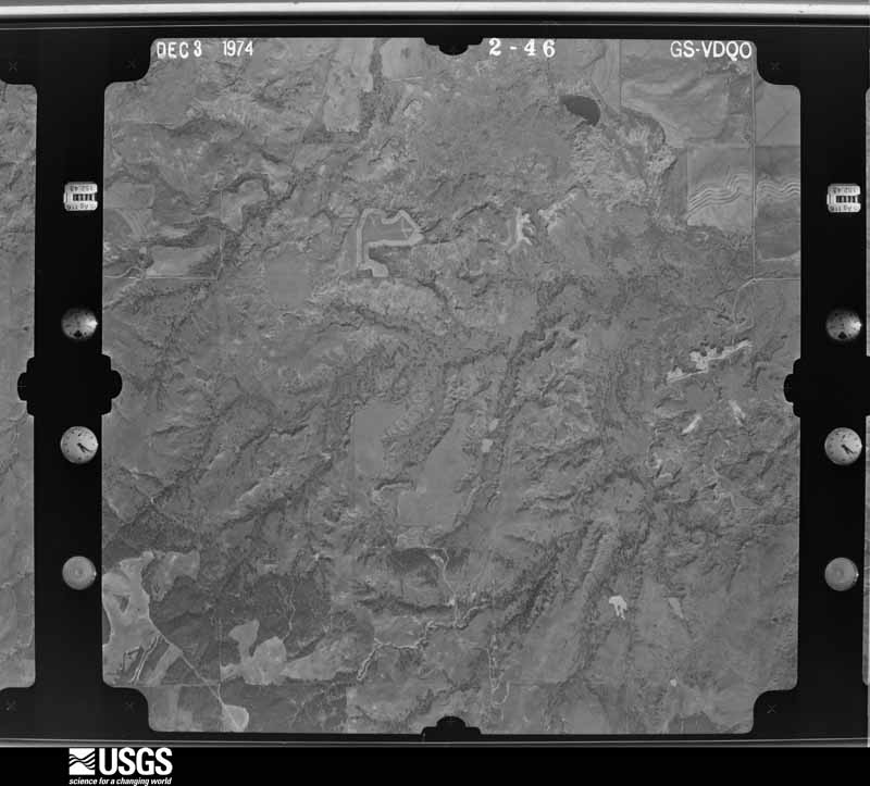
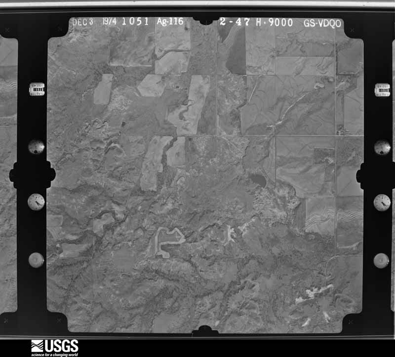
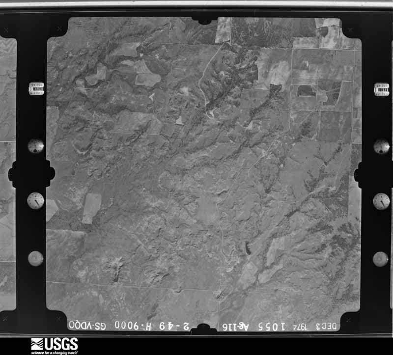
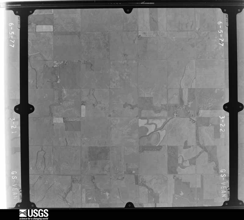
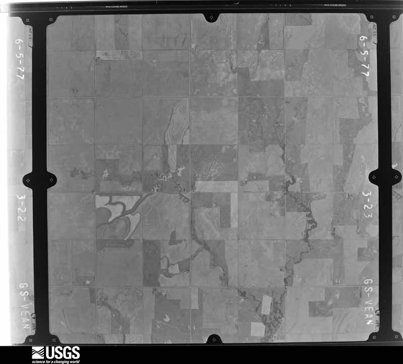
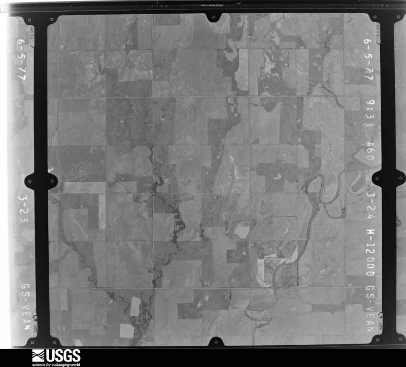
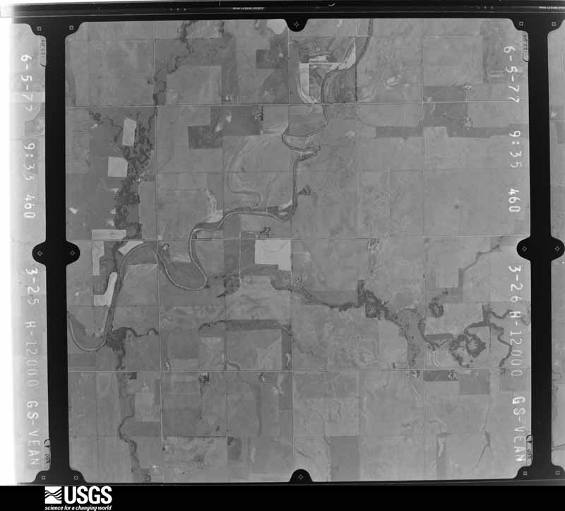
Flown by the U.S. Geological Survey between 1937 and 1989, the Aerial Photo Single Frames collection is the definitive mid-century view of the land: fields, roads and rivers as the camera saw them. The Survey holds 944 frames inside the rectangle that bounds this county; the 36 frames below were taken over the county itself, chosen across the decades of flights (at most four a year from that rectangle), so one flight cannot crowd out the rest. The full set is free to browse and download at EarthExplorer under the dataset Aerial Photo Single Frames.
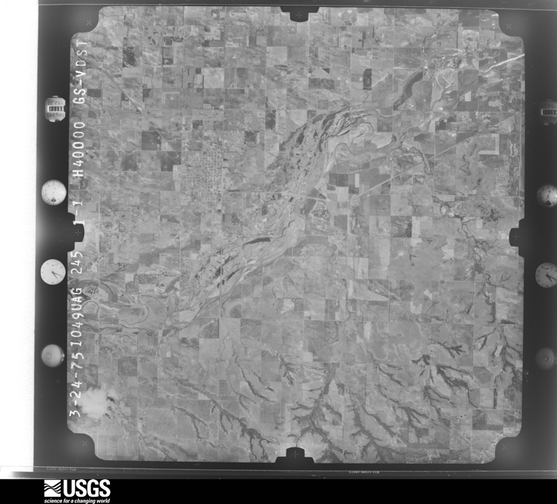
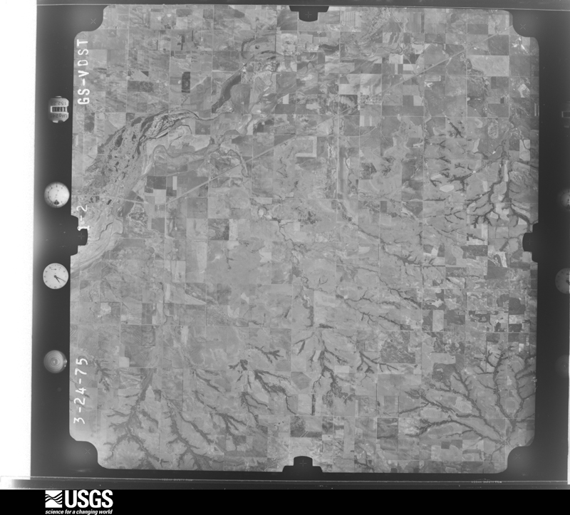
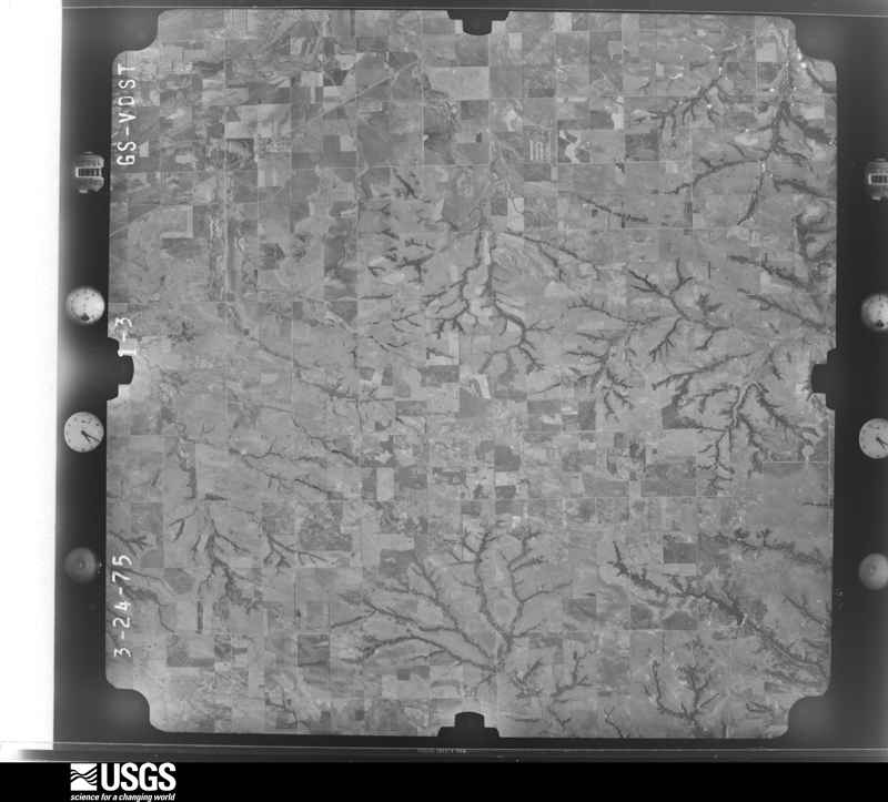
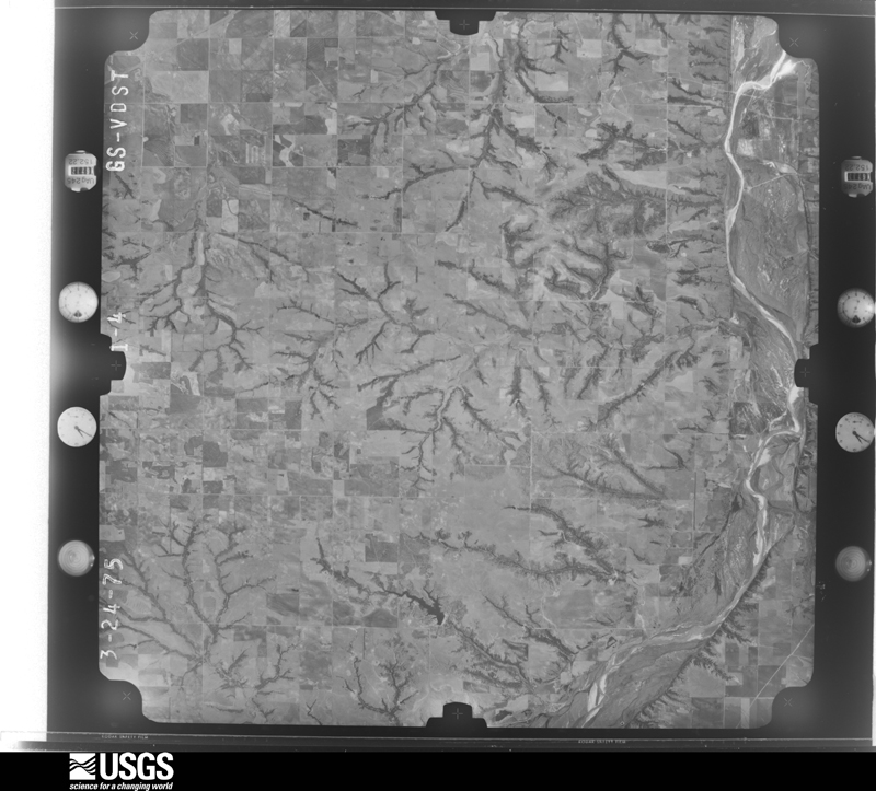
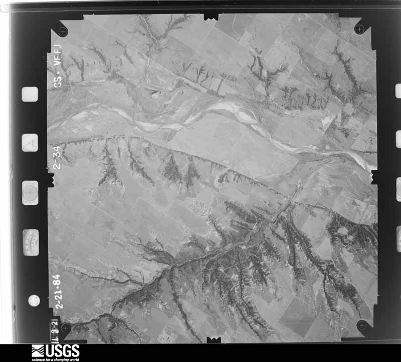
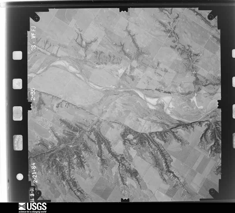
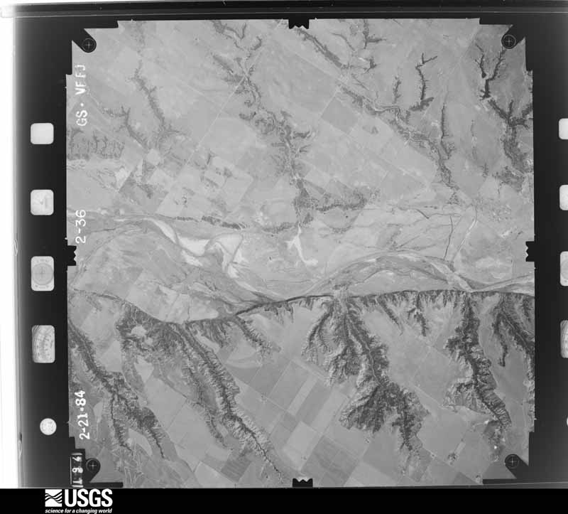
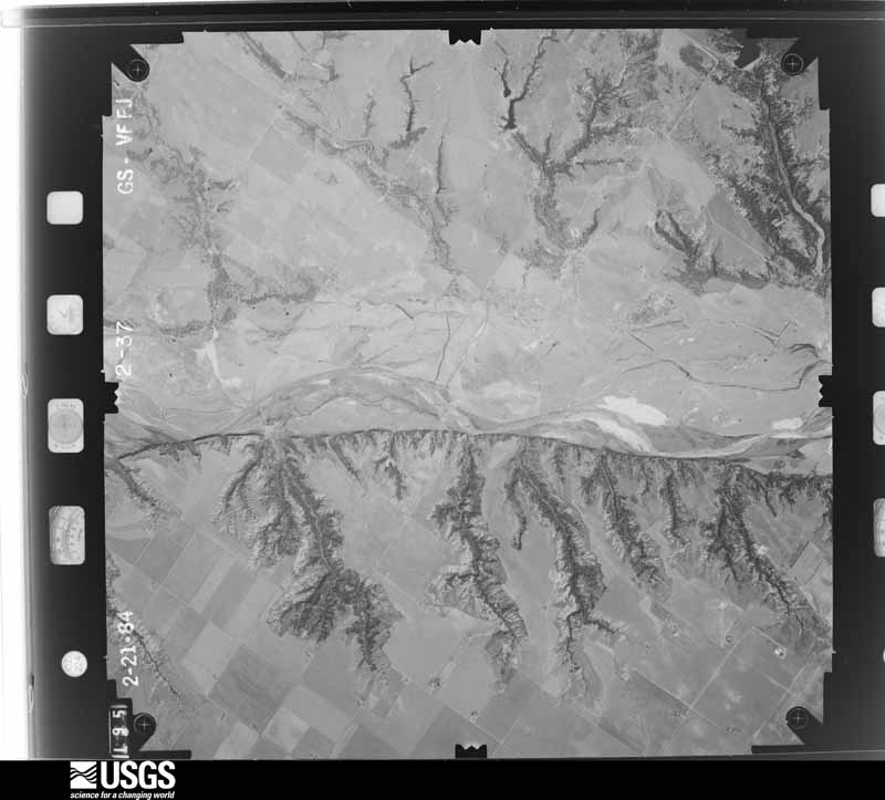
The thermometers that kept this county's weather, and the gages that measured the flow of its streams, as the federal records hold them. The extremes below are measured values from those records, not estimates.
Who lived here in 1950, one enumeration district at a time, as the Census Bureau described each district. Each row opens its official National Archives result, with Population Schedules and ED Maps available there.
Every wildfire the federal occurrence database records inside this county: 200 of them, burning about 11,294 acres. 4 started naturally and 24 were recorded as arson. Each settlement page carries the fires within five miles of it.
| Reported cause | Fires |
|---|---|
| Missing data/not specified/undetermined | 75 |
| Debris and open burning | 37 |
| Equipment and vehicle use | 34 |
| Arson/incendiarism | 24 |
| Fireworks | 12 |
| Natural | 4 |
| Misuse of fire by a minor | 4 |
| Power generation/transmission/distribution | 4 |
| Railroad operations and maintenance | 2 |
| Recreation and ceremony | 2 |
| Other causes | 1 |
| Smoking | 1 |
The five largest, by the area the report gives. None of them was recorded as arson.
| Date | Cause | Size | Reported by | Name on the report |
|---|---|---|---|---|
| 4 July 2012 | Fireworks | 1,500 acres | Concho Field Office | BIG GREEN TRACTOR |
| 3 April 2016 | Missing data/not specified/undetermined | 1,397 acres | Oklahoma Division of Forestry | KEPHART |
| 22 March 2016 | Missing data/not specified/undetermined | 729 acres | Oklahoma Division of Forestry | BEAR CREEK FIRE |
| 18 January 2006 | Equipment and vehicle use | 600 acres | Concho Field Office | WHEELER |
| 17 June 2020 | Power generation/transmission/distribution | 421 acres | Oklahoma Division of Forestry | SPRING CREEK 2 FIRE |
| 27 March 1997 | Missing data/not specified/undetermined | 320 acres | Concho Field Office | ETNA |
| 7 August 2005 | Debris and open burning | 293 acres | Concho Field Office | PHILLIPS |
| 9 August 2001 | Missing data/not specified/undetermined | 256 acres | Concho Field Office | GEARY |
Every settlement page carries the fires within five miles of it - see the settlement index below.
The NOAA Storm Events Database holds 560 reports for this county, causing 2 deaths, 18 injuries and about $7,316,060 in recorded property damage. Each settlement page carries the reports that name it.
| Kind of event | Reports |
|---|---|
| Hail | 311 |
| Thunderstorm Wind | 180 |
| Tornado | 48 |
| Flash Flood | 8 |
| Lightning | 6 |
| Heavy Rain | 5 |
| Flood | 2 |
The most serious of them, by death, then injury, then recorded damage. The accounts are quoted exactly as the forecast office filed them.
| When | Event | Place named | Harm | What the report says |
|---|---|---|---|---|
| April 1984 | Tornado (F1) | not stated | 1 killed, 7 hurt, $250,000 | no account filed |
| May 1961 | Tornado (F3) | not stated | 1 killed, $25,000 | no account filed |
| May 2001 | Thunderstorm Wind | Canton | 4 hurt, $25,000 | A trailer was blown over at Canton Lake. Four occupants inside were injured. |
| May 2024 | Thunderstorm Wind | Geary | 2 hurt, $125,000 | A swath of significant straight-line wind damage was identified across portions of far southern Blaine County, associated with the rear-flank downdraft of a nearby tornadic thunderstorm. A mobile home was destroyed about 4 miles east of Hydro that caused two injuries. Numerous wooden power poles were snapped, large trees uprooted, and a center irrigation pivot was overturned along the path. Multiple wood and metal outbuildings were also damaged, including at least one destroyed, and a house near the intersection of County Road 1000 and Oklahoma Highway 58 had shingles removed. Both the wind path and time are estimated. |
| August 2007 | Thunderstorm Wind | Geary | 2 hurt, $84,000 | Widespread wind damage was reported in and around Geary as strong winds battered the city for several hours. Numerous trees, power poles, and power lines were downed. The Fast Lane Food Mart had its awning ripped off. Numerous signs were blown over. Part of the roof of the nursing home was ripped off. Two persons were injured while evacuating the nursing home. Siding was also removed from a house, and the garage doors were blown inward. Monetary damages were estimated. |
| May 2011 | Tornado (EF3) | Canton Lake Dam | 2 hurt | This tornado is labeled A1 (Segment #2 of the Canton Lake tornado). The tornado moved northeast toward Canton Lake, which is where more significant damage occurred. Near the lake, on both sides where the tornado crossed, significant tree damage occurred. Numerous trailer homes were knocked over or destroyed. On the south side of the lake, two injuries occurred at the Canadian Campground. Several other campers took shelter in a concrete bathhouse. Although the bathhouse sustained damage, no injuries were reported. Other concrete structures (benches, pick-nick tables, etc.) were knocked over or shattered. On the other side of the lake, southwest of Longdale, significant damage continued to more structures and trees. The tornado continued to move almost due north into Major County. Monetary damage estimates were not available. |
| June 1998 | Tornado (F0) | Longdale | 1 hurt | The Blaine County Sheriff reported a brief tornado. One child was injured with extent of injuries unknown. Several trees were also damaged. |
| June 1967 | Tornado (F4) | not stated | $2,500,000 | no account filed |
| May 2004 | Tornado (F2) | Geary | $1,500,000 | The second tornado of this storm began 3 miles NE of American Horse Lake, or 9 miles WNW of Geary. This tornado also was obscured by rain for much of its life cycle, but was documented at close range by the Doppler on Wheels (DOW). The center of the tornadic circulation initially moved ESE, approaching American Horse Road around 1824 (all times CST), 6-7 miles WNW of Geary, then turned to the ENE. Damage occurred over a wide swath to the right of the center of circulation, and was the combined result of the tornado and damaging winds from the very strong mesocyclone within which it was embedded. A peak instantaneous wind gust was measured by the DOW at 81 m/s (157 knots, or 181 mph) at a height of 6.5 meters AGL in the mesocyclone circulation just north of Geary at 1836. Four miles NW of Geary, several smaller-scale vortices developed around the initial circulation center - one of which became the dominant circulation and formed about a half a mile south of the original center at 1832. Due to continuity of the parent mesocyclone circulation and the continuous damage path, these circulation centers are considered to be sub-vortices within the same tornado, and not separate tornadoes. The newly-formed circulation center moved slightly south of due east, and crossed US270/281 at 1837 CST, 2 miles NNW of Geary. The tornado crossed into Canadian County at 1838 CST, 11.8 WNW of Calumet.The tornado caused widespread tree damage with trees downed or uprooted across the area. Several barns were also damaged or destroyed in Blaine county. A house sustained some roof damage and power lines were downed in the area. A stock trailer was found rolled and farm machinery damaged. An old church one mile north of Geary also lost its roof. |
| August 2007 | Flash Flood | Watonga | $1,000,000 | Heavy rain and high winds pounded most areas in Blaine county. Rainfall amounts of 5 to 8 inches resulted in widespread flash flooding. In Watonga, the American Horse Road was washed out by the Hal Geyner Farm. One hundred and twenty four residences had minor flood damage, 21 suffered major damage, and five homes were destroyed. At Greenfield, 13 residences had minor flood damage and two had major damage. At Hitchcock, one residence had minor damage. Numerous city and county roads had to be closed due to widespread flash flooding. Monetary damages were estimated. |
| August 2007 | Thunderstorm Wind | Watonga | $500,000 | Widespread wind damage was reported in and near Watonga. Prolonged high winds and numerous severe gusts occurred in and around Watonga from 1 am until around 415 am. 82 mph winds were reported at Watonga airport at 254 am before weather instruments stopped reporting. One open hangar and 2 T-hangars were completely destroyed.|Six planes were damaged, some severely. Windows were blown out of numerous businesses. Numerous trees, power poles, and power lines were blown down. A train car was on its side after being blown off the track. Two light towers at the baseball field collapsed and one was bent. Monetary damages were estimated. |
| June 1967 | Tornado (F2) | not stated | $250,000 | no account filed |
| May 2001 | Thunderstorm Wind | Canton | $150,000 | Large trees fell on homes and vehicles. A trailer-home was blown over. The VFW building was destroyed, and numerous storage buildings were blown over. |
| May 2003 | Thunderstorm Wind | Hitchcock | $100,000 | A metal grain elevator was heavily damaged. |
| August 2007 | Thunderstorm Wind | Okeene | $60,000 | A large swath of wind damage was observed, which included the cities of Okeene and Greenfield. A roof was ripped off a grocery story in Okeene, with numerous trees, power lines, and power poles downed. Minor structural damage was observed to an open garage in Greenfield, with numerous trees, power lines, and power poles also downed. Monetary damages were estimated. |
| September 1998 | Lightning | Eagle City | $60,000 | no account filed |
| November 2024 | Tornado (EF1) | Watonga | $50,000 | This tornado developed south of Watonga and moved due north just west of US-270 and then SH-8 through the west side of Watonga. At least five homes and a two outbuildings were damaged, along with trees and power poles. One large tree fell onto a vehicle, and a large tree branch fell onto another. |
| March 2007 | Tornado (EF1) | Okeene | $50,000 | A tornado was reported near Okeene and moved northeast. Damage was first noticed to a barn and grain silo 1 mile east of Okeene. The most substantial damage rated EF1 was noted at a farmstead. A small garage (open bay) was damaged. Approximately 1/3 of its aluminum roof covering peeled off and some roof wood panels were removed. A tree next to the garage had some limbs snapped off. A piece of siding from the barn was wrapped around a tree. A small half-cylinder type garage was also heavily damaged. The north side had a large portion of its siding removed and some of the wood structure were damaged. The east end had a garage door which was blown out and most of the east wall was removed. A grain silo actually lifted off the ground and landed about 100 feet away. Also present were small grain bins, in which one was tipped over and apparently rotated. A large barn had substantial damage to the roof and walls on the east and west ends of the buildings. Also, almost all siding on the north side of the building was removed. A large garage door on the south end of the barn was blown in yet its wiring still held together and the door was hanging by this wiring. Debris from the barn (all of it siding/roofing which was aluminum) was scattered to the northeast 1500-2000 feet. The tornado continued northeast before lifting 2.5 miles east of Okeene. At the strongest point the tornado reached EF1 damage causing an estimated $50 thousand in damage. |
| October 1998 | Tornado (F2) | Watonga | $50,000 | no account filed |
| May 1995 | Thunderstorm Wind | Watonga | $50,000 | no account filed |
| July 1995 | Thunderstorm Wind | Okeene | $50,000 | no account filed |
| July 1995 | Thunderstorm Wind | Hydro | $50,000 | no account filed |
| August 2025 | Thunderstorm Wind | Hitchcock | $25,000 | Relayed images courtesy of the Oklahoma Department of Emergency Management show a wooden patio awning blown off of a house. The event time is estimated from radar observations. |
| November 2024 | Thunderstorm Wind | Okeene | $25,000 | Relayed images show the metal roofs of two businesses peeled back in the Okeene community. Event time is radar-estimated. |
| May 2024 | Tornado (EF1) | Okeene | $25,000 | This tornado initially developed about 5 miles south-southeast of Okeene and moved generally east-northeast before moving into Kingfisher County about a mile and a half south of State Highway 51. In Blaine County, two outbuildings received significant roof damage near the beginning of the path along County Roads N2650 and N2660. A number of trees were also damaged or broken along the path. |
| May 2001 | Thunderstorm Wind | Canton | $25,000 | Numerous power poles were snapped on Highway 51. |
| April 1967 | Tornado (F1) | not stated | $25,000 | no account filed |
| May 2024 | Thunderstorm Wind | Greenfield | $20,000 | Wind damage to barns, two homes and granaries in the vicinity of East 910 Road and North 2500 Road. Time is radar estimated. |
| July 2024 | Thunderstorm Wind | Watonga | $20,000 | Numerous power poles blown down near the intersection of North 2630 Road and East 820 Road. Time is radar estimated. |
| May 1999 | Thunderstorm Wind | Canton | $20,000 | no account filed |
| March 2008 | Hail | Canton | $15,000 | The hail caused some minor roof and car window damage. Golfball size hail was also reported one mile northwest of Homestead. Monetary damages were estimated. |
| June 2000 | Lightning | Watonga | $15,000 | Lightning struck a herd of 5 cattle, killing them. |
| June 2025 | Thunderstorm Wind | Geary | $10,000 | Several power poles were blown down in the community of Geary. The event time is estimated from radar observations. |
| June 2007 | Thunderstorm Wind | Okeene | $10,000 | Several tree limbs downed due to high wind. Six to seven trees were blown down in the Okeene area. Monetary damages were estimated. |
| September 2005 | Thunderstorm Wind | Watonga | $10,000 | A strong wind gust blew the steeple off of the Watonga Christian Church. A large tree was also uprooted. Many tree limbs and fences were downed across town. |
| October 2000 | Lightning | Watonga | $10,000 | Lightning struck a utility pole causing damage to wiring and electrical appliances at a nearby house. |
| June 1999 | Flash Flood | North Portion | $10,000 | no account filed |
| October 1998 | Lightning | Watonga | $8,000 | no account filed |
| May 2003 | Thunderstorm Wind | Greenfield | $7,000 | A barn was knocked down along with a truck overturned. |
| March 2000 | Thunderstorm Wind | Watonga | $7,000 | A barn was destroyed. Trees and power poles were downed, and a garage was damaged. |
| June 2007 | Thunderstorm Wind | Canton | $6,000 | Large trees were downed blocking State Highway 58 about 4 miles south of Canton. Monetary damage is estimated. |
| June 1997 | Thunderstorm Wind | Canton | $6,000 | A barn, damaged by severe thunderstorm winds the day before, was completely destroyed. Also, tin on the front of a mini-mall was damaged. |
| May 1998 | Thunderstorm Wind | Okeene | $6,000 | no account filed |
| August 2022 | Thunderstorm Wind | Geary | $5,000 | Barn and power pole damaged. |
| May 2017 | Tornado (EF0) | Greenfield | $5,000 | A tornado damaged an outbuilding and the roof of a house just east of the Blaine-Custer County line. |
| June 2007 | Thunderstorm Wind | Canton | $5,000 | Several trees down over the roadway on the south side of Canton. A storm chaser estimated winds of 70 mph. Monetary damages were estimated. |
| August 2004 | Thunderstorm Wind | Canton Lake | $5,000 | Trees approximately 8 inches in diameter were blown down. Tree limbs between 8 and 10 inches in diameter were also downed. |
| July 2000 | Thunderstorm Wind | Okeene | $5,000 | House roofs were damaged, and trees and power lines were downed. |
| May 1999 | Tornado (F1) | Watonga | $5,000 | Tornado E2 (Blaine County portion). See summary at end of May 3rd storm reports. |
| August 1997 | Thunderstorm Wind | Watonga | $5,000 | Severe thunderstorm winds bent road signs over on Highway 33. |
| August 1999 | Lightning | Okeene | $5,000 | no account filed |
| May 2003 | Hail | Geary | $3,500 | Several windows were reported broken. |
| June 1997 | Thunderstorm Wind | Canton | $3,000 | Limbs up to 8 inches in diameter were blown down across a widespread area on the north side of town. Trees were also uprooted, a carport was destroyed, and a barn was severely damaged by the severe winds. |
| July 1998 | Tornado (F0) | Okeene | $3,000 | no account filed |
| September 1998 | Tornado (F0) | Canton | $3,000 | no account filed |
| September 1970 | Tornado (F1) | not stated | $2,500 | no account filed |
| April 1966 | Tornado (F1) | not stated | $2,500 | no account filed |
| May 1961 | Tornado | not stated | $2,500 | no account filed |
| June 1952 | Tornado (F1) | not stated | $2,500 | no account filed |
| May 2024 | Tornado (EF1) | Geary | $2,000 | Trees were damaged near N2540 Road to the southeast of American Horse Lake. |
The Survey's mineral resources record lists 130 workings inside this county. 54 still produce and 76 are closed or unrecorded. Each settlement page carries the workings within five miles of it.
| Commodity | Workings |
|---|---|
| Gypsum-Anhydrite | 56 |
| Sand and Gravel, Construction | 42 |
| Dolomite | 16 |
| Copper | 7 |
| Clay | 5 |
| Pumice | 4 |
| Titanium, Metal | 2 |
| Titanium, Metal, Vanadium, Silver | 1 |
| Vanadium, Titanium, Metal | 1 |
| Silver, Vanadium | 1 |
| Vanadium, Silver, Titanium, Metal | 1 |
| Vanadium, Titanium, Metal, Silver | 1 |
| Bentonite | 1 |
The least common of them first, because a county's hundredth gravel pit says nothing its first ten did not.
| Where | Site | Commodity | Status | Recorded |
|---|---|---|---|---|
| Bucher-1 | Copper, Vanadium, Titanium, Metal | Occurrence | 1962 | |
| Cedar Knoll-1 | Copper, Titanium, Metal, Vanadium, Silver | Occurrence | 1908 | |
| Cedar Knoll-2 | Copper, Vanadium, Titanium, Metal, Silver | Occurrence | 1908 | |
| Cheyenne Butte-1 | Copper, Vanadium, Silver, Titanium, Metal | Occurrence | 1962 | |
| Kingfisher Creek-1 | Copper, Titanium, Metal, Silver, Vanadium | Occurrence | 1972 | |
| Volcanic Ash Prospect | Pumice, Bentonite | Prospect | ||
| Kingfisher Creek-2 | Copper, Titanium, Metal | Occurrence | 1962 | |
| Unknown Volcanic Ash Pit | Pumice | Past Producer | ||
| Unknown Volcanic Ash Pit | Pumice | Past Producer | ||
| Unknown Volcanic Ash Pit | Pumice | Past Producer | ||
| Unknown Shale Pit | Clay | Past Producer | ||
| Unknown Shale Pit | Clay | Past Producer | ||
| Unknown Shale Pit | Clay | Producer | ||
| Unknown Shale Pit | Clay | Past Producer | ||
| Unknown Shale Pit | Clay | Past Producer | ||
| Hitchcock-1 | Copper | Occurrence | Malachite | |
| Unknown Dolomite Pit | Dolomite | Past Producer | ||
| Unknown Dolomite Pit | Dolomite | Past Producer | ||
| Unknown Dolomite Pit | Dolomite | Past Producer | ||
| Unknown Dolomite Pit | Dolomite | Past Producer | ||
| Unknown Dolomite Pit | Dolomite | Past Producer | ||
| Unknown Dolomite Pit | Dolomite | Past Producer | ||
| Unknown Dolomite Pit | Dolomite | Past Producer | ||
| Unknown Dolomite Pit | Dolomite | Past Producer | ||
| Unknown Dolomite Pit | Dolomite | Past Producer | ||
| Unknown Dolomite Pit | Dolomite | Past Producer | ||
| Unknown Dolomite Pit | Dolomite | Past Producer | ||
| Unknown Dolomite Pit | Dolomite | Past Producer | ||
| Unknown Dolomite Pit | Dolomite | Past Producer | ||
| Unknown Dolomite Pit | Dolomite | Past Producer | ||
| Unknown Dolomite Pit | Dolomite | Past Producer | ||
| Unknown Dolomite Pit | Dolomite | Past Producer | ||
| Boon Pit & Plant | Sand and Gravel, Construction | Producer | ||
| Boon Sand Co Sand and Gravel Pit | Sand and Gravel, Construction | Past Producer | ||
| George Kopf Pit | Sand and Gravel, Construction | Producer | ||
| United States Gypsum Company Pit | Sand and Gravel, Construction | Producer | ||
| Unknown Sand and Gravel Pit | Sand and Gravel, Construction | Past Producer | ||
| Unknown Sand and Gravel Pit | Sand and Gravel, Construction | Past Producer | ||
| Unknown Sand and Gravel Pit | Sand and Gravel, Construction | Past Producer | ||
| Unknown Sand and Gravel Pit | Sand and Gravel, Construction | Past Producer | ||
| Unknown Sand and Gravel Pit | Sand and Gravel, Construction | Past Producer | ||
| Unknown Sand and Gravel Pit | Sand and Gravel, Construction | Past Producer | ||
| Unknown Sand and Gravel Pit | Sand and Gravel, Construction | Past Producer | ||
| Unknown Sand and Gravel Pit | Sand and Gravel, Construction | Past Producer | ||
| Unknown Sand and Gravel Pit | Sand and Gravel, Construction | Past Producer | ||
| Unknown Sand and Gravel Pit | Sand and Gravel, Construction | Past Producer | ||
| Unknown Sand and Gravel Pit | Sand and Gravel, Construction | Past Producer | ||
| Unknown Sand and Gravel Pit | Sand and Gravel, Construction | Past Producer | ||
| Unknown Sand and Gravel Pit | Sand and Gravel, Construction | Past Producer | ||
| Unknown Sand and Gravel Pit | Sand and Gravel, Construction | Past Producer | ||
| Unknown Sand and Gravel Pit | Sand and Gravel, Construction | Past Producer | ||
| Unknown Sand and Gravel Pit | Sand and Gravel, Construction | Past Producer | ||
| Unknown Sand and Gravel Pit | Sand and Gravel, Construction | Past Producer | ||
| Unknown Sand and Gravel Pit | Sand and Gravel, Construction | Past Producer | ||
| Unknown Sand and Gravel Pit | Sand and Gravel, Construction | Past Producer | ||
| Unknown Sand and Gravel Pit | Sand and Gravel, Construction | Past Producer | ||
| Unknown Sand and Gravel Pit | Sand and Gravel, Construction | Past Producer | ||
| Unknown Sand and Gravel Pit | Sand and Gravel, Construction | Past Producer | ||
| Unknown Sand and Gravel Pit | Sand and Gravel, Construction | Past Producer | ||
| Unknown Sand and Gravel Pit | Sand and Gravel, Construction | Past Producer | ||
| Unknown Sand and Gravel Pit | Sand and Gravel, Construction | Past Producer | ||
| Unknown Sand and Gravel Pit | Sand and Gravel, Construction | Past Producer | ||
| Unknown Sand and Gravel Pit | Sand and Gravel, Construction | Past Producer | ||
| Unknown Sand and Gravel Pit | Sand and Gravel, Construction | Past Producer | ||
| Unknown Sand and Gravel Pit | Sand and Gravel, Construction | Past Producer | ||
| Unknown Sand and Gravel Pit | Sand and Gravel, Construction | Past Producer | ||
| Unknown Sand and Gravel Pit | Sand and Gravel, Construction | Past Producer | ||
| Unknown Sand and Gravel Pit | Sand and Gravel, Construction | Past Producer | ||
| Unknown Sand and Gravel Pit | Sand and Gravel, Construction | Past Producer | ||
| Unknown Sand and Gravel Pit | Sand and Gravel, Construction | Past Producer | ||
| Unknown Siltstone Pit | Sand and Gravel, Construction | Past Producer | ||
| Unknown Siltstone Pit | Sand and Gravel, Construction | Producer | ||
| Unknown Siltstone Pit | Sand and Gravel, Construction | Past Producer | ||
| Unknown Siltstone Pit | Sand and Gravel, Construction | Past Producer | ||
| Atlas Gypsum Pit | Gypsum-Anhydrite | Producer | ||
| Atlas Gypsum Pit | Gypsum-Anhydrite | Producer | ||
| Atlas Gypsum Pit | Gypsum-Anhydrite | Producer | ||
| Atlas Gypsum Pit | Gypsum-Anhydrite | Producer | ||
| Atlas Gypsum Pit | Gypsum-Anhydrite | Producer | ||
| Atlas Gypsum Pit | Gypsum-Anhydrite | Producer | ||
| Atlas Gypsum Pit | Gypsum-Anhydrite | Producer | ||
| Atlas Gypsum Pit | Gypsum-Anhydrite | Producer | ||
| Atlas Gypsum Pit | Gypsum-Anhydrite | Producer | ||
| Atlas Gypsum Pit | Gypsum-Anhydrite | Producer | ||
| Atlas Gypsum Pit | Gypsum-Anhydrite | Producer | ||
| Okeene Mine | Gypsum-Anhydrite | Producer | ||
| Oklahoma Gypsum Company Pit | Gypsum-Anhydrite | Past Producer | ||
| Southard Mine & Plant | Gypsum-Anhydrite | Producer | ||
| United States Gypsum Company Pit | Gypsum-Anhydrite | Producer | ||
| United States Gypsum Company Pit | Gypsum-Anhydrite | Producer | ||
| United States Gypsum Company Pit | Gypsum-Anhydrite | Producer | ||
| United States Gypsum Company Pit | Gypsum-Anhydrite | Producer | ||
| United States Gypsum Company Pit | Gypsum-Anhydrite | Producer | ||
| United States Gypsum Company Pit | Gypsum-Anhydrite | Producer | ||
| United States Gypsum Company Pit | Gypsum-Anhydrite | Producer | ||
| United States Gypsum Company Pit | Gypsum-Anhydrite | Producer | ||
| United States Gypsum Company Pit | Gypsum-Anhydrite | Producer | ||
| United States Gypsum Company Pit | Gypsum-Anhydrite | Producer | ||
| United States Gypsum Company Pit | Gypsum-Anhydrite | Producer | ||
| United States Gypsum Company Pit | Gypsum-Anhydrite | Producer | ||
| United States Gypsum Company Pit | Gypsum-Anhydrite | Producer | ||
| United States Gypsum Company Pit | Gypsum-Anhydrite | Producer | ||
| United States Gypsum Company Pit | Gypsum-Anhydrite | Producer | ||
| United States Gypsum Company Pit | Gypsum-Anhydrite | Producer | ||
| United States Gypsum Company Pit | Gypsum-Anhydrite | Producer | ||
| United States Gypsum Company Pit | Gypsum-Anhydrite | Producer | ||
| United States Gypsum Company Pit | Gypsum-Anhydrite | Producer | ||
| United States Gypsum Company Pit | Gypsum-Anhydrite | Producer | ||
| United States Gypsum Company Pit | Gypsum-Anhydrite | Producer | ||
| United States Gypsum Company Pit | Gypsum-Anhydrite | Producer | ||
| United States Gypsum Company Pit | Gypsum-Anhydrite | Producer | ||
| United States Gypsum Company Pit | Gypsum-Anhydrite | Producer | ||
| United States Gypsum Company Pit | Gypsum-Anhydrite | Producer | ||
| United States Gypsum Company Pit | Gypsum-Anhydrite | Producer | ||
| United States Gypsum Company Pit | Gypsum-Anhydrite | Producer | ||
| United States Gypsum Company Pit | Gypsum-Anhydrite | Producer | ||
| United States Gypsum Company Pit | Gypsum-Anhydrite | Producer | ||
| United States Gypsum Company Pit | Gypsum-Anhydrite | Producer | ||
| United States Gypsum Company Pit | Gypsum-Anhydrite | Producer | ||
| United States Steel | Gypsum-Anhydrite | Producer | ||
| Unknown Gypsum Pit | Gypsum-Anhydrite | Past Producer | ||
| Unknown Gypsum Pit | Gypsum-Anhydrite | Past Producer | ||
| Unknown Gypsum Pit | Gypsum-Anhydrite | Past Producer | ||
| Unknown Gypsum Pit | Gypsum-Anhydrite | Past Producer | ||
| Unknown Gypsum Pit | Gypsum-Anhydrite | Past Producer | ||
| Unknown Gypsum Pit | Gypsum-Anhydrite | Past Producer | ||
| Walton Gypsum Company Pit | Gypsum-Anhydrite | Producer | ||
| Walton Gypsum Company Pit | Gypsum-Anhydrite | Producer | ||
| Walton Pit & Plant | Gypsum-Anhydrite | Producer | ||
| Watonga Mine & Plant | Gypsum-Anhydrite | Producer |
Named settlements recorded in the Geographic Names Information System, each with the topographic sheets covering it. Villages, hamlets and abandoned places alike. Each is shown with the nearest named watercourse or landform and the survey quadrangle it falls on. The 5 places that were also surveyed for fire insurance come first, with the number of atlases and photographs held for them.
Canton census division · 73724 · On Minnehaha Creek · Canton quadrangle
8 sheets, 1955 to 1986
Fire insurance: 3 atlases
Geary census division · 73040 · Geary North quadrangle
10 sheets, 1942 to 1985
Fire insurance: 6 atlases
Watonga census division · 73744 · Hitchcock quadrangle
7 sheets, 1955 to 1985
Fire insurance: 3 atlases
Okeene census division · 73763 · Okeene quadrangle
8 sheets, 1955 to 1986
Fire insurance: 6 atlases
Watonga census division · 73772 · Watonga quadrangle
7 sheets, 1955 to 1985
Fire insurance: 6 atlases
10 topographic sheets and 6 fire insurance atlases, 1902 to 1941
8 topographic sheets and 6 fire insurance atlases, 1901 to 1930
7 topographic sheets and 6 fire insurance atlases, 1901 to 1941
8 topographic sheets and 3 fire insurance atlases, 1916 to 1936
7 topographic sheets and 3 fire insurance atlases, 1910 to 1916