Block
From the record
24 National Register listings published here.
Sources: the National Register database, National Park Service
68 topographic sheets and 21 fire insurance atlases across 4 places.
24 National Register listings published here.
Sources: the National Register database, National Park Service
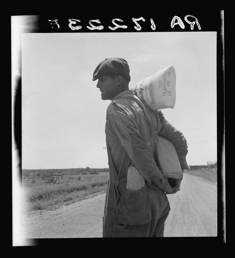
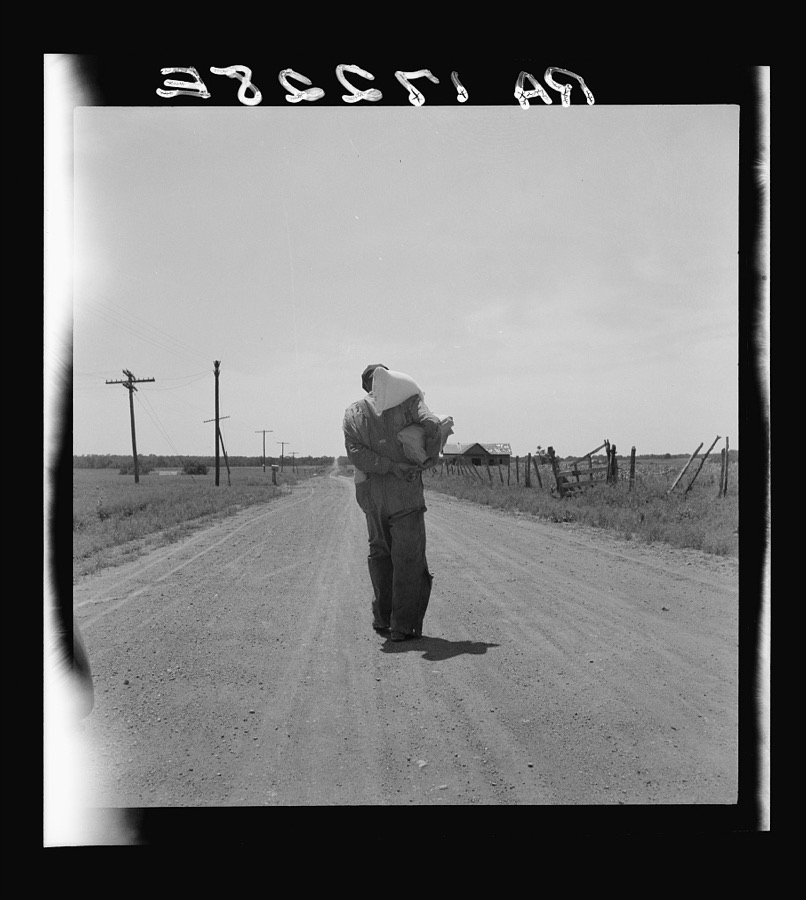
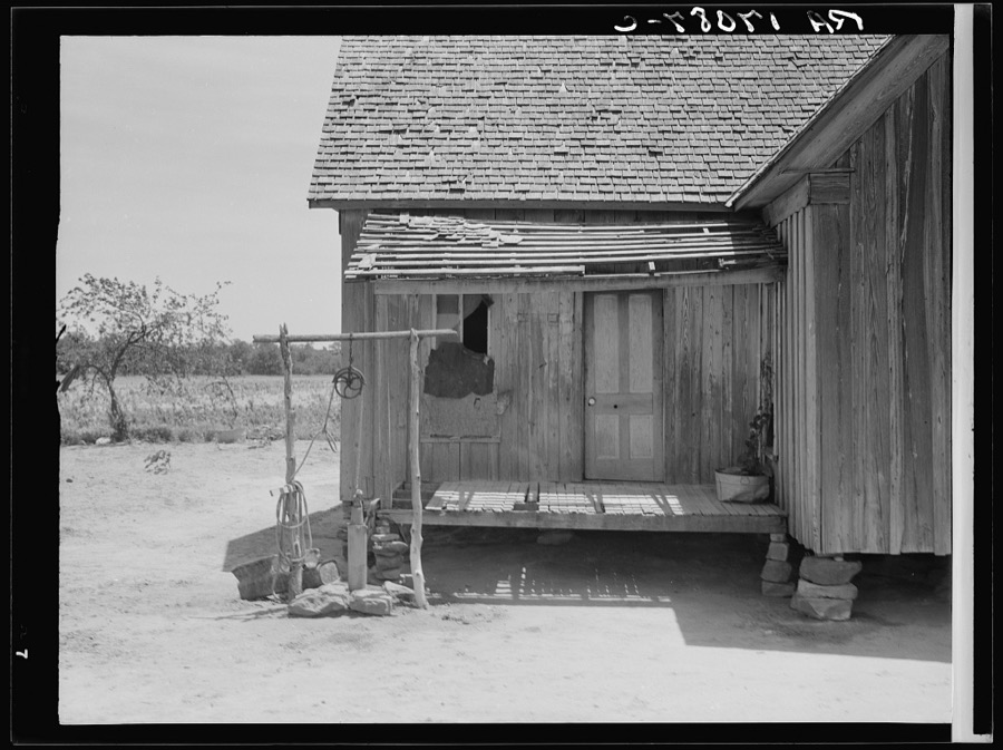
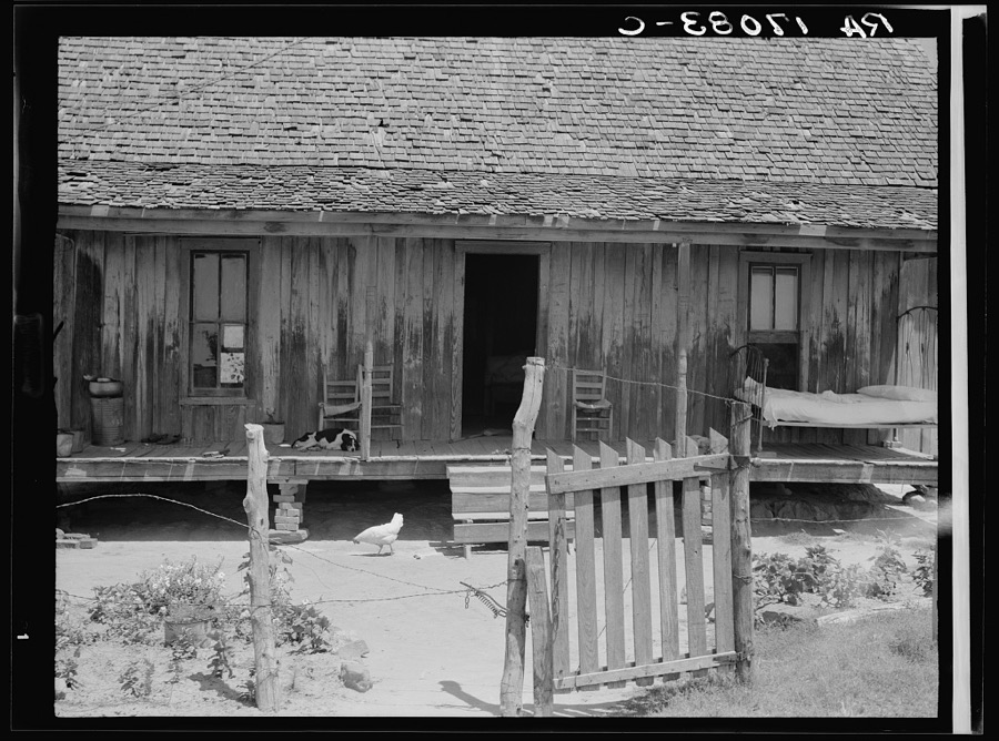
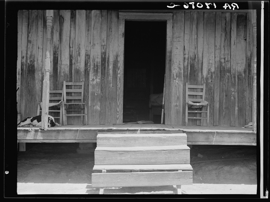
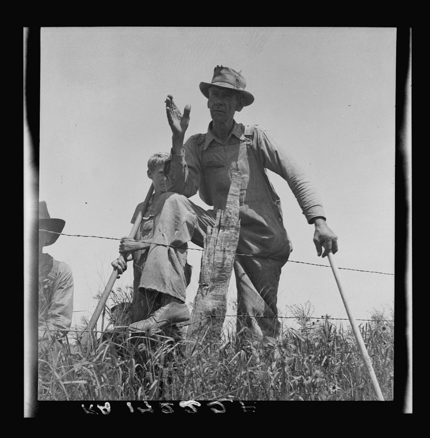
Taken for the Office of War Information and the Farm Security Administration, who photographed the country between 1935 and 1944. Works of United States government photographers, with no known restriction on use. Each opens its catalogue record.
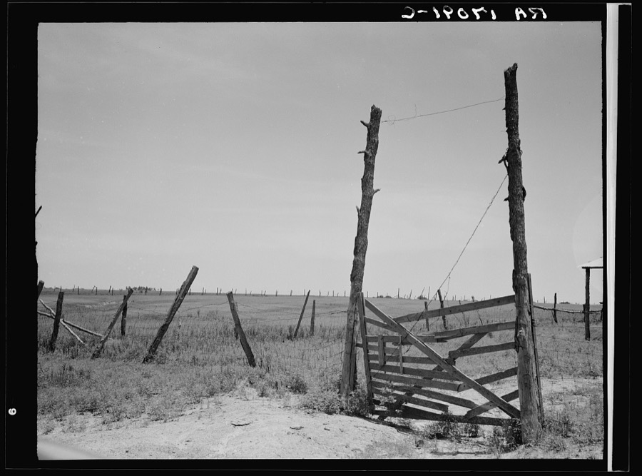
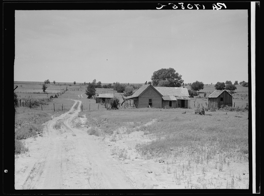
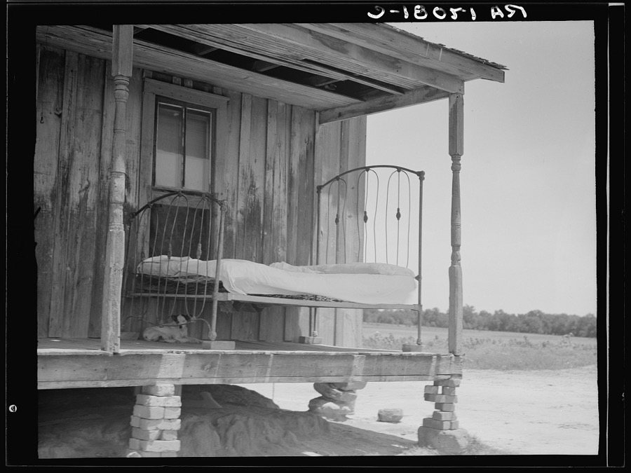
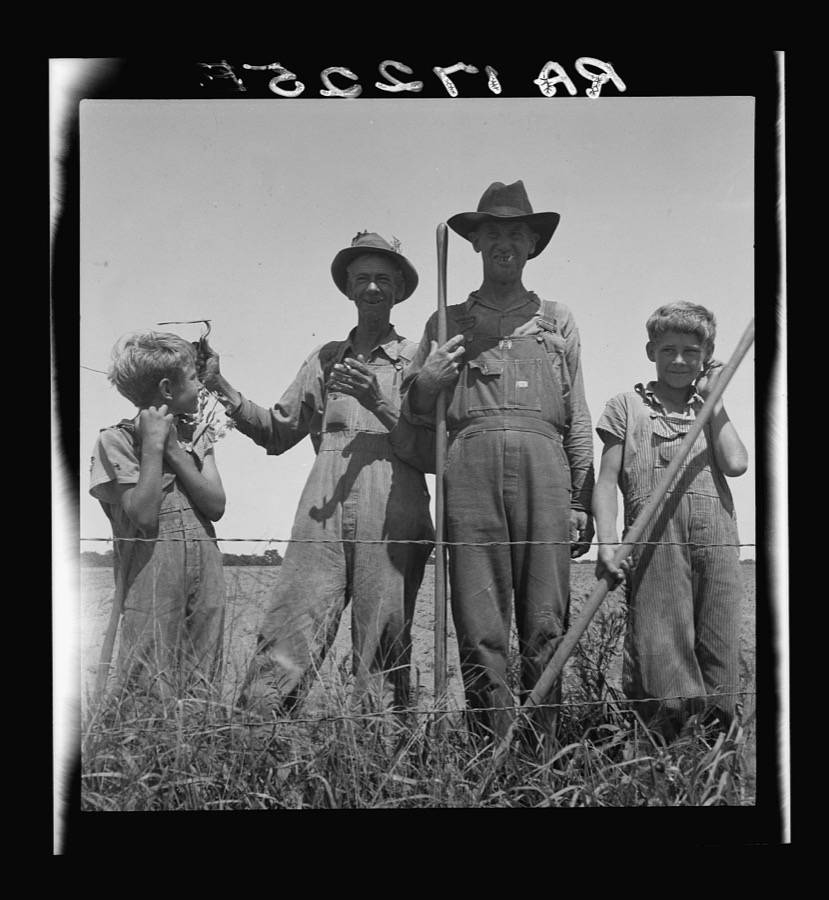
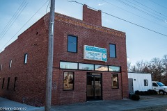
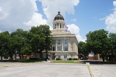
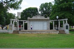
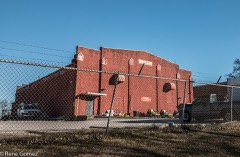
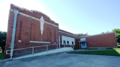
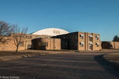
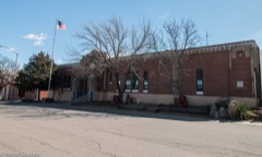
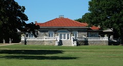
Every property in this county listed on the National Register of Historic Places, with the year it was listed and the federal nomination document.
Sampled issues, machine-read from the Library of Congress scan and published page by page, so every headline and column is searchable text.
Ardmore, Okla., 1893 to Current. Machine-read from the Library of Congress scan.
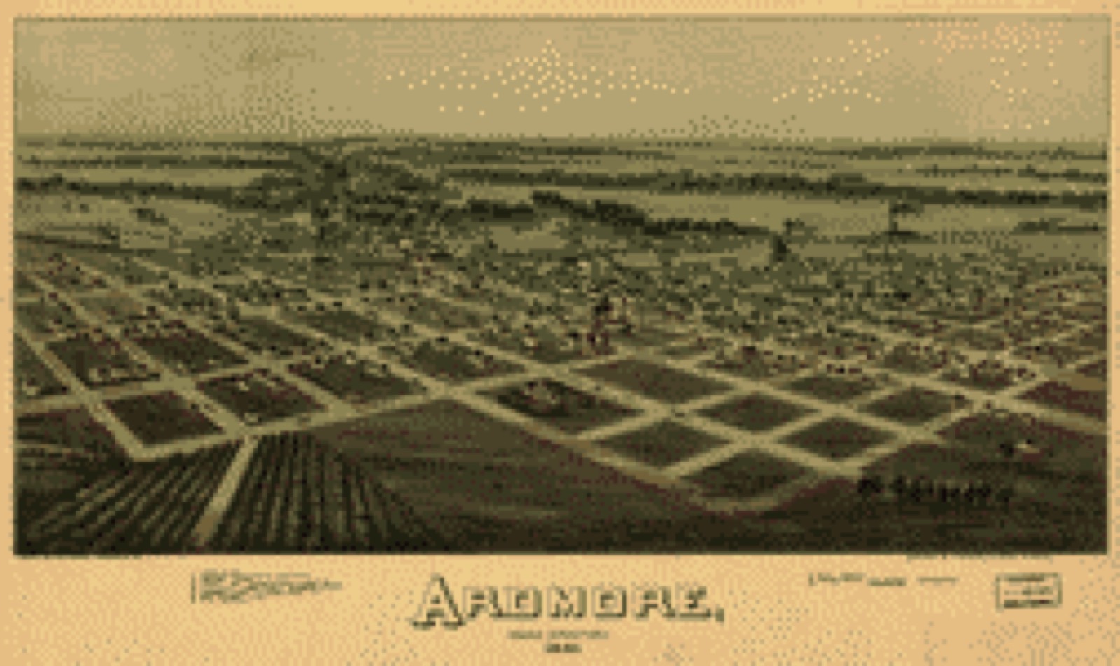
Drawn when these were printed as single large sheets: the town seen from the air, and the county divided into its farms with every owner named. Each opens the original at the Library of Congress.
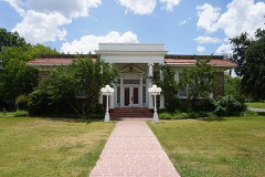
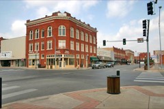
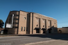
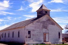
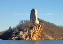
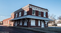
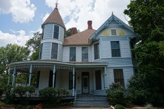
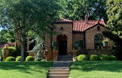
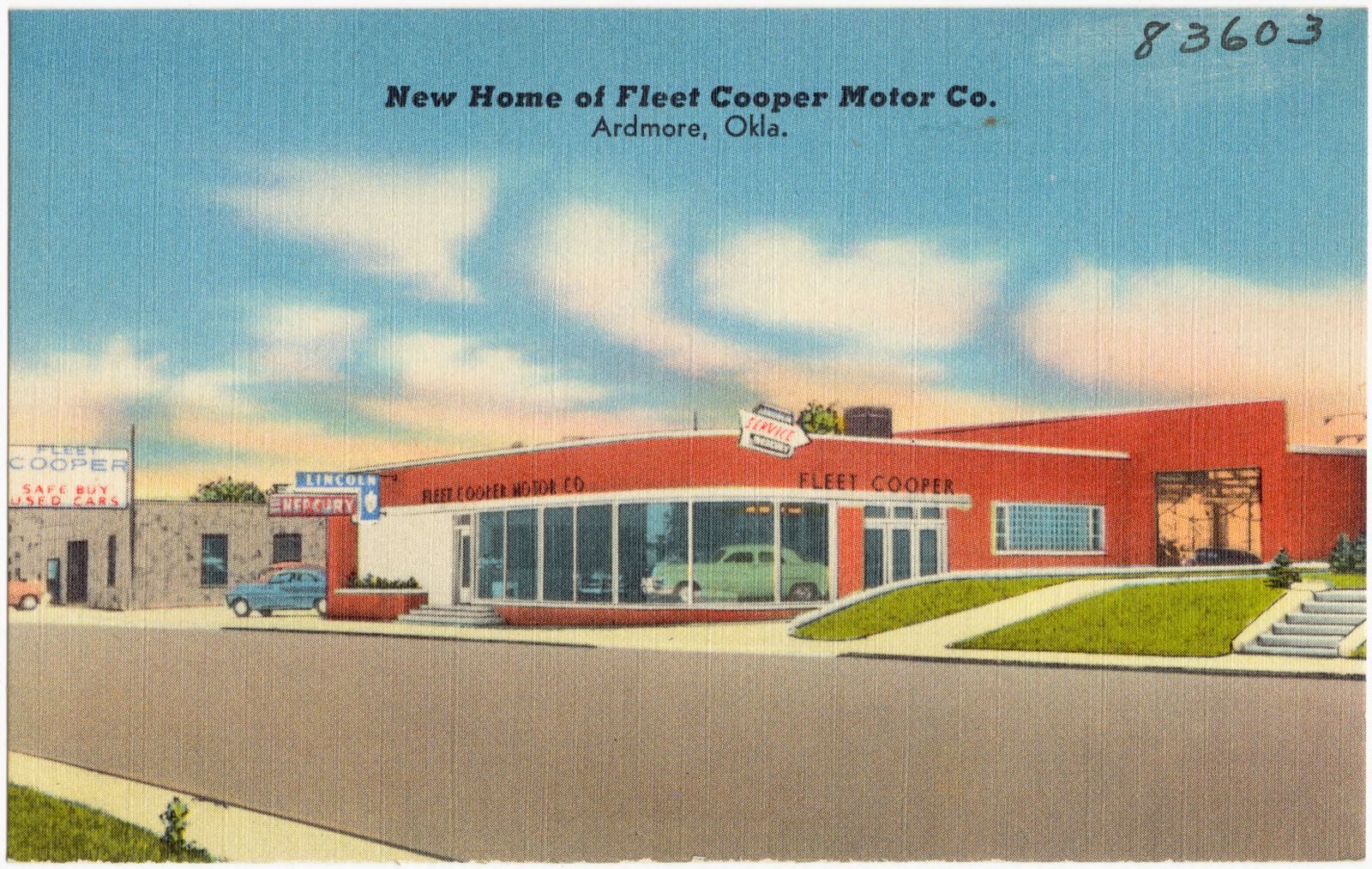
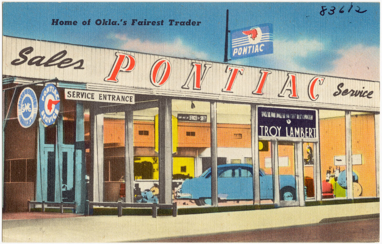
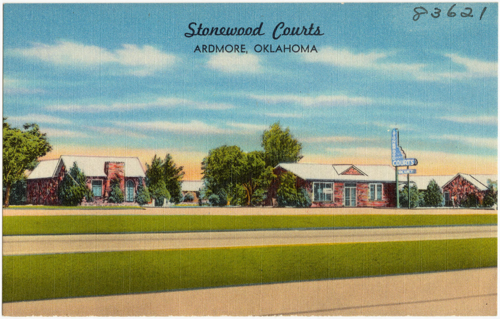
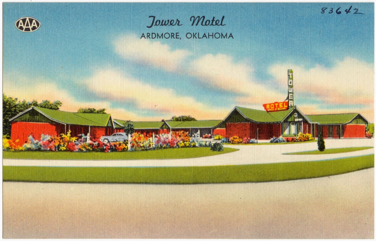
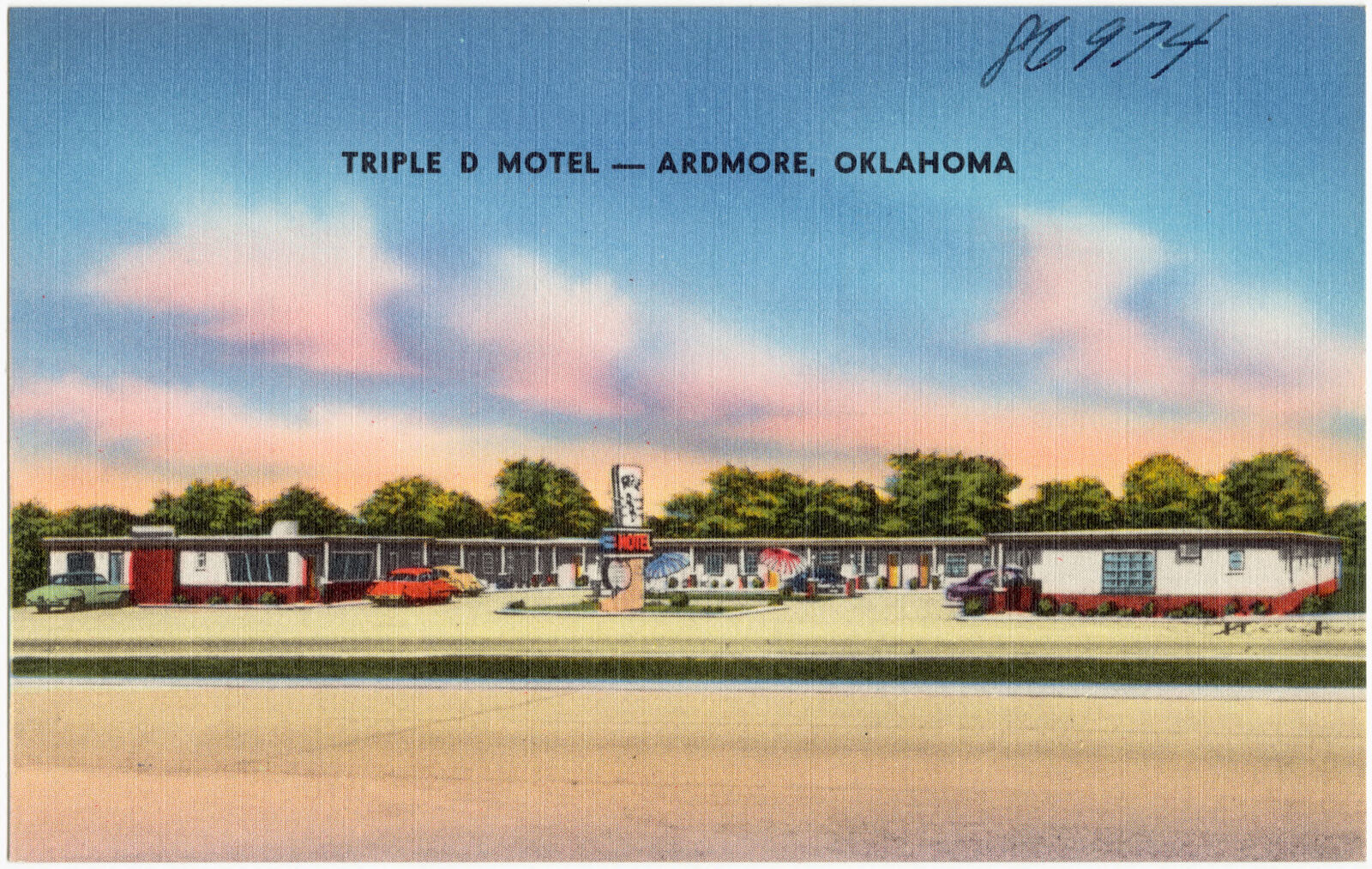
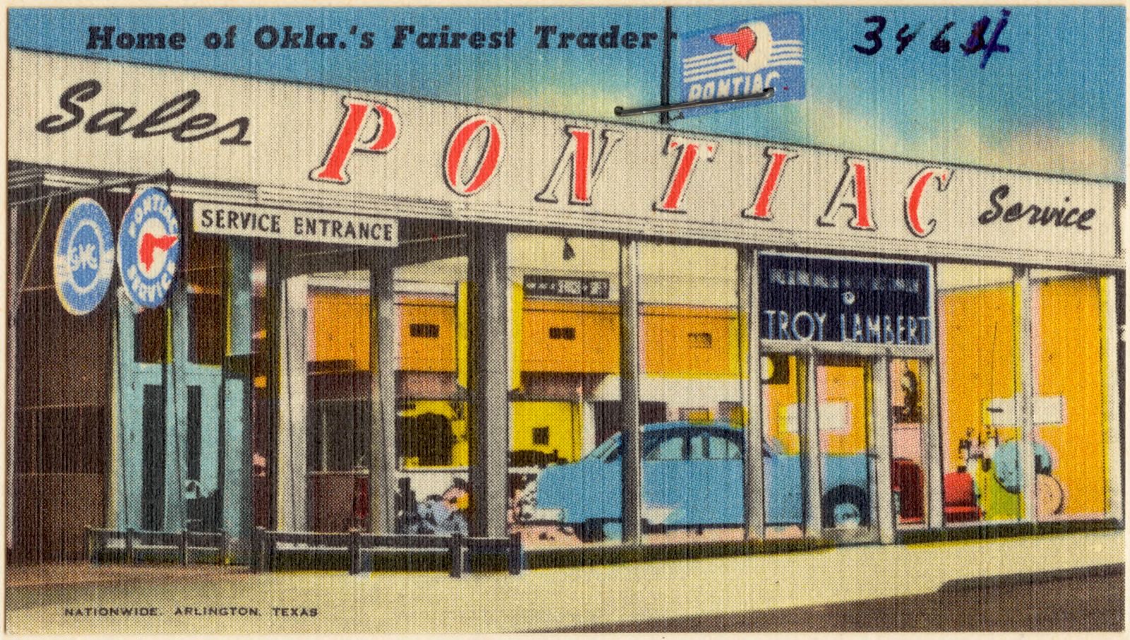
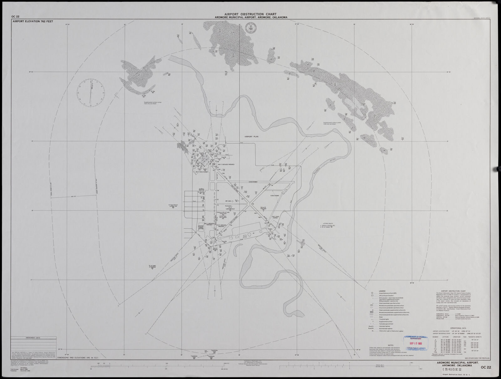
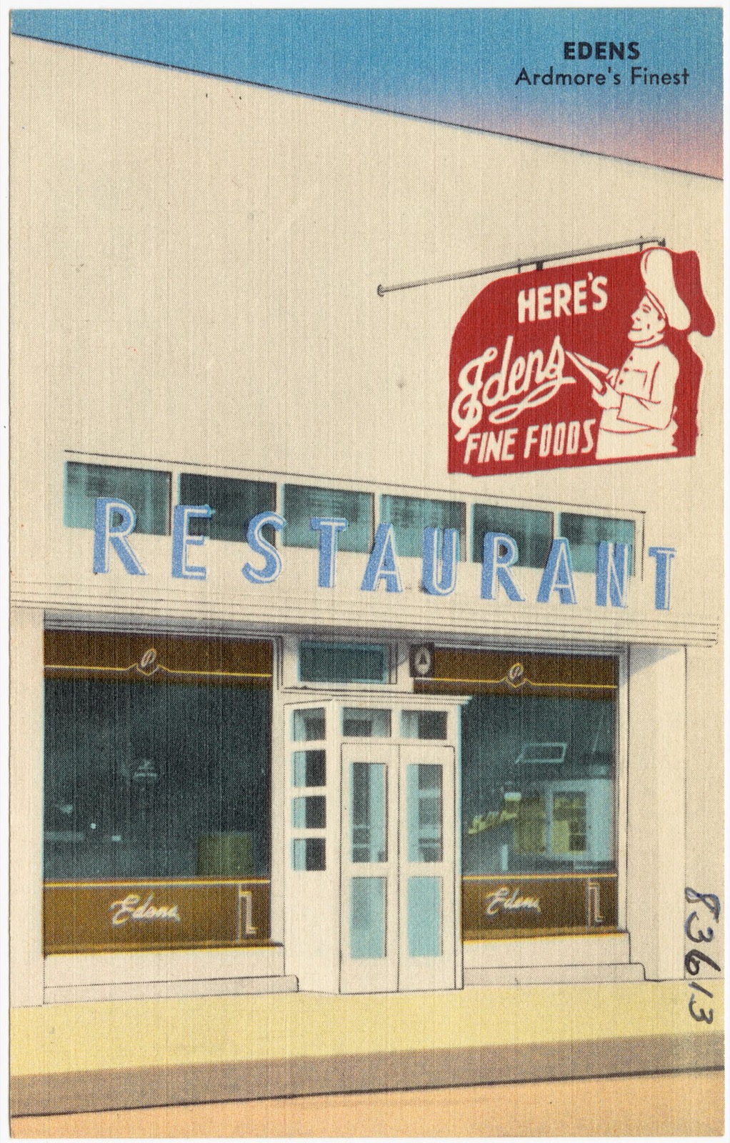
Selected from the Digital Public Library of America's 11 image records catalogued for this county. Every one shown here carries a public-domain status or a licence that permits reuse on a site that carries advertising; non-commercial, share-alike and restricted images are excluded. The selection is spread across the county's towns (at most eight per town), so no single institution's bulk upload crowds out the rest. Each opens the holding library's record, and the complete set at the Digital Public Library of America is one click away.
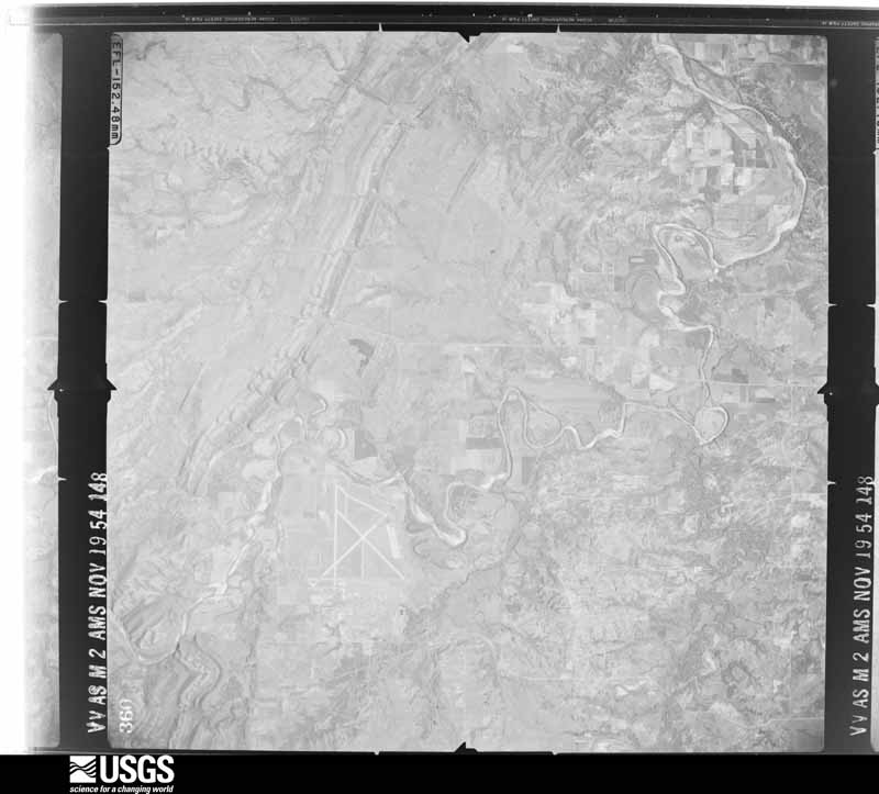
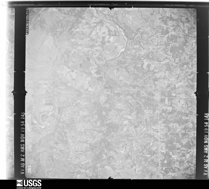
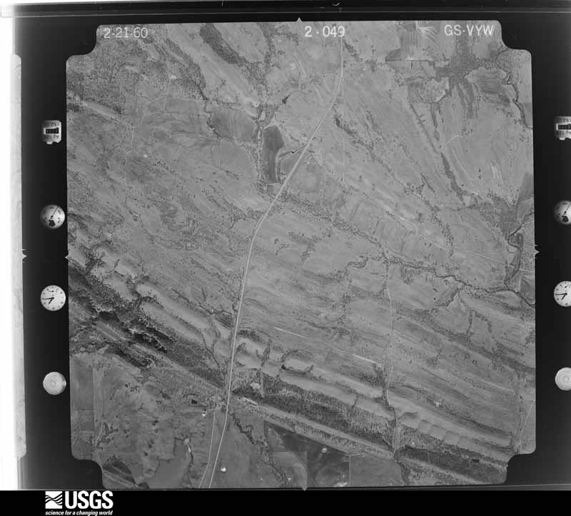
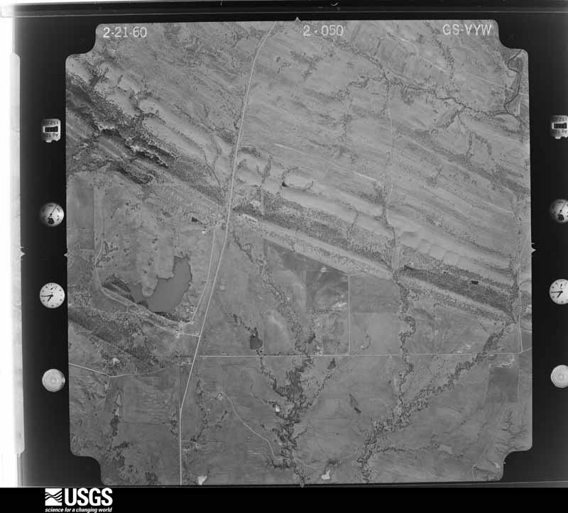
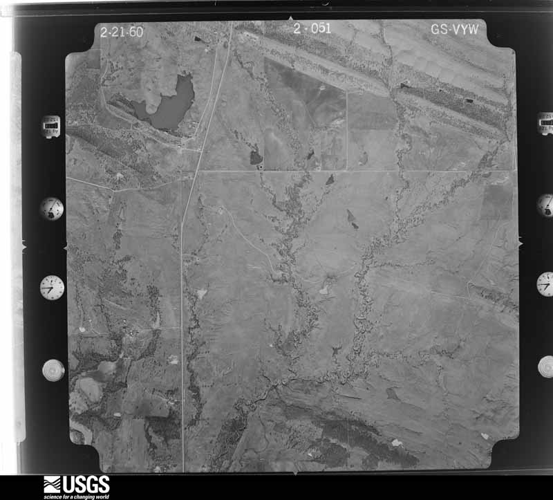
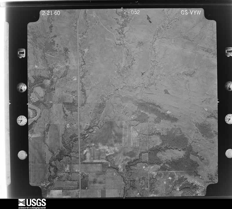
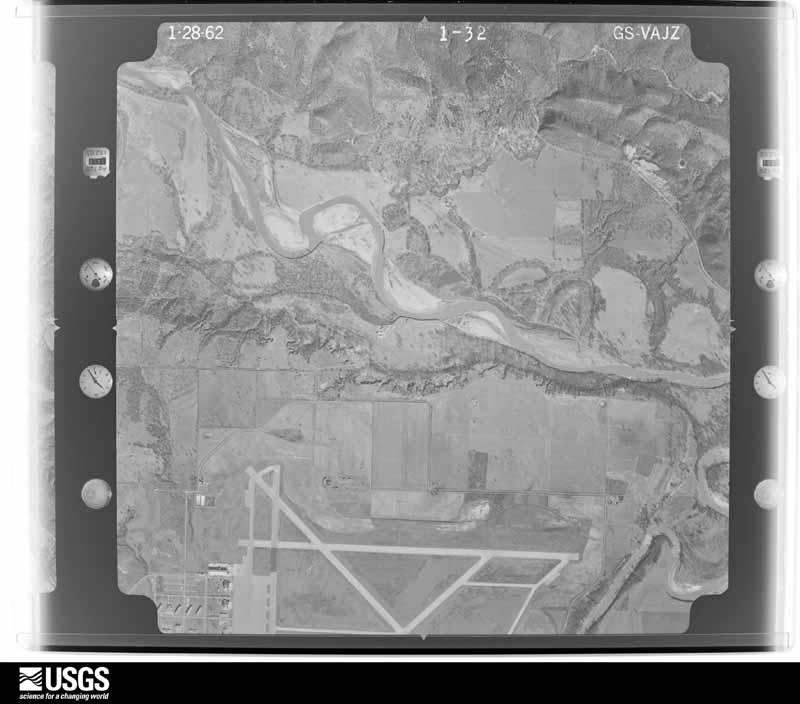
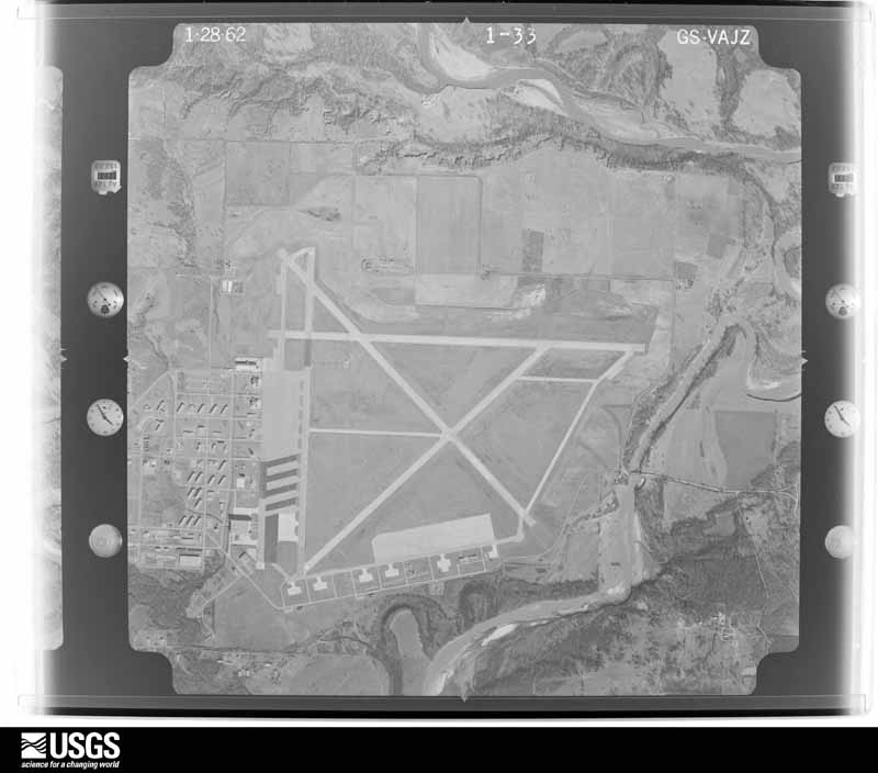
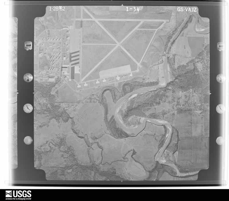
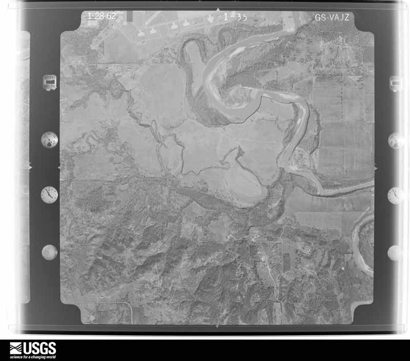
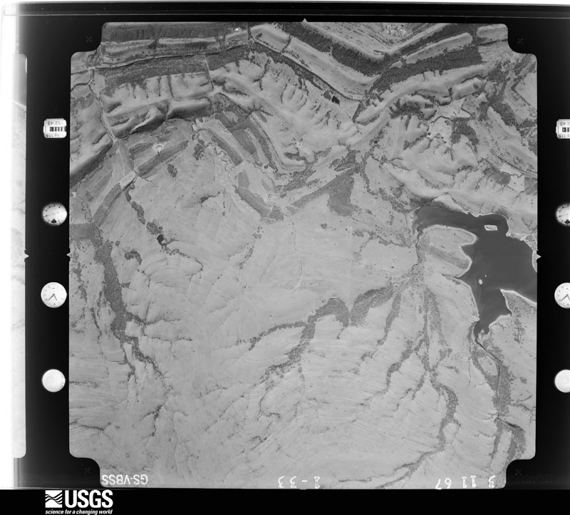
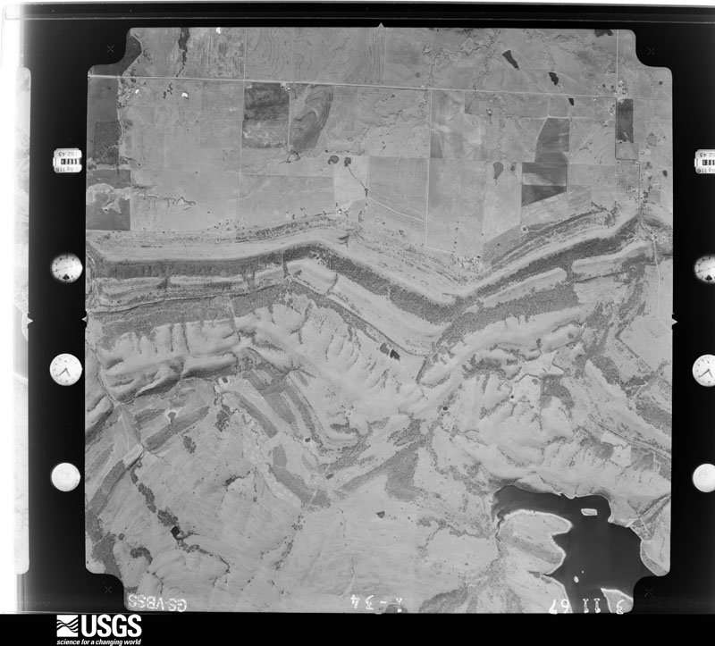
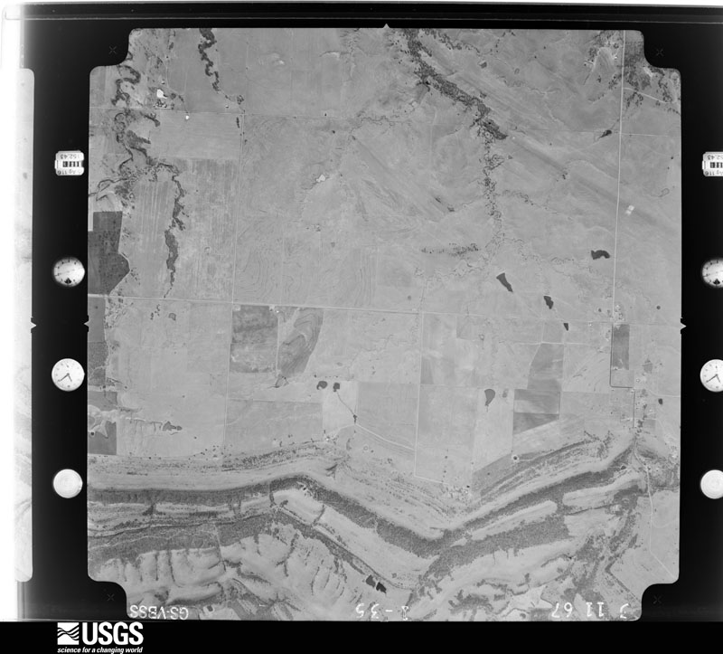
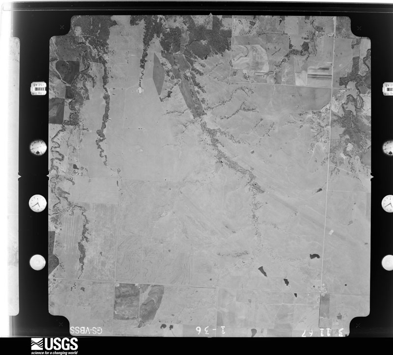
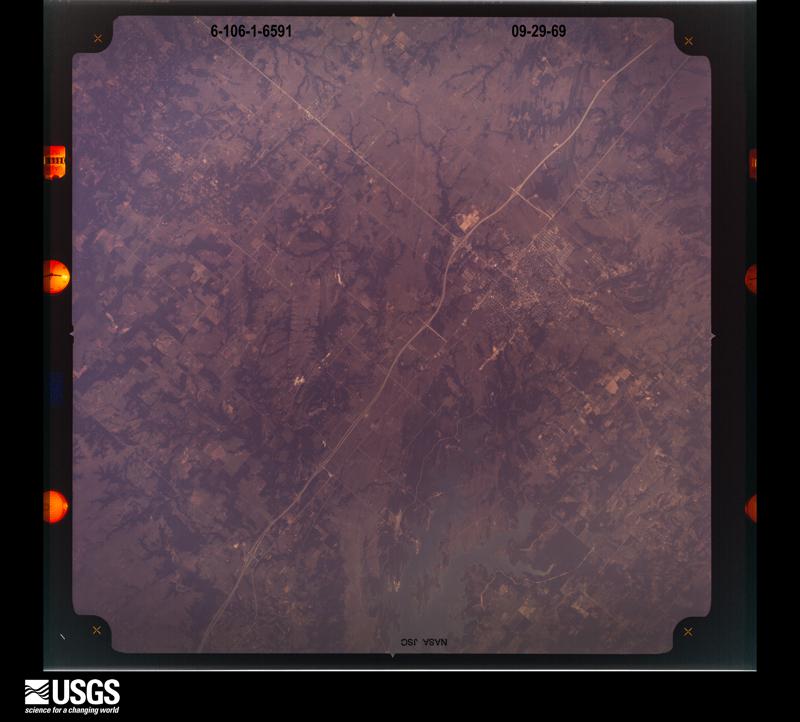
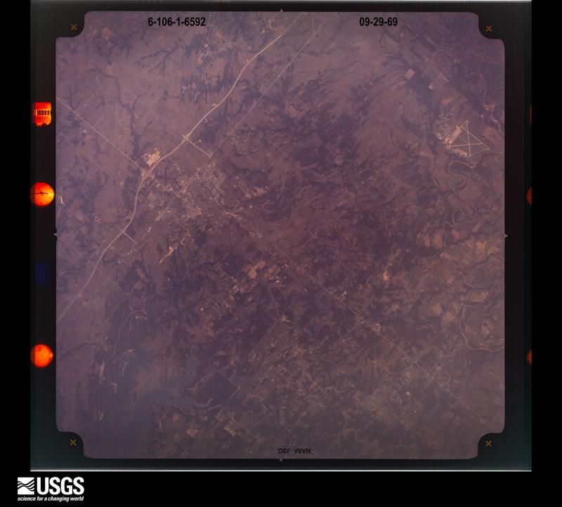
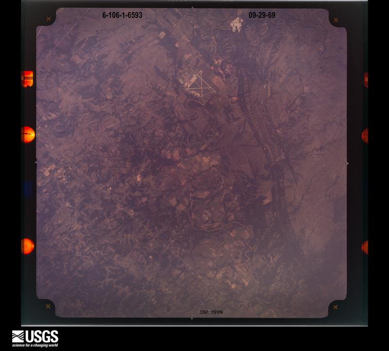
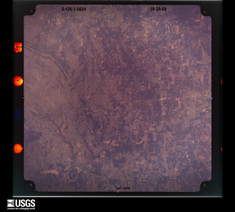
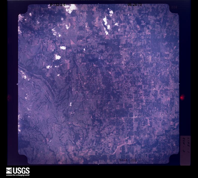
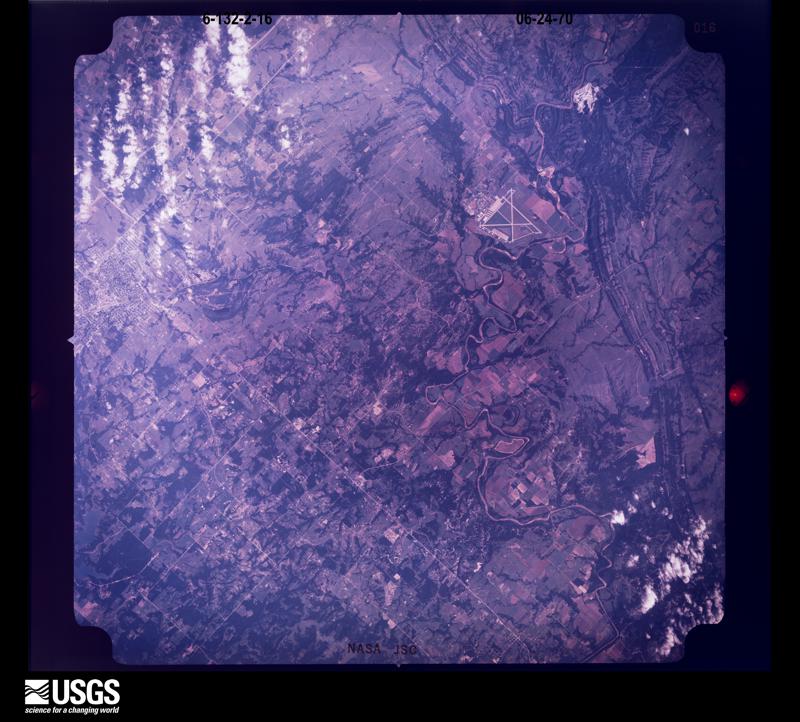
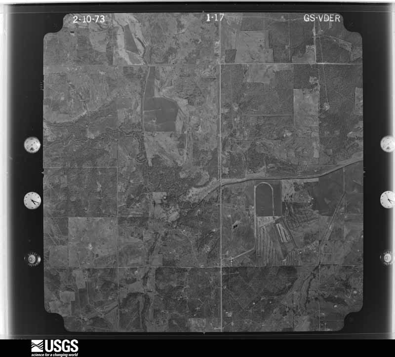
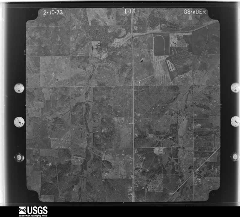
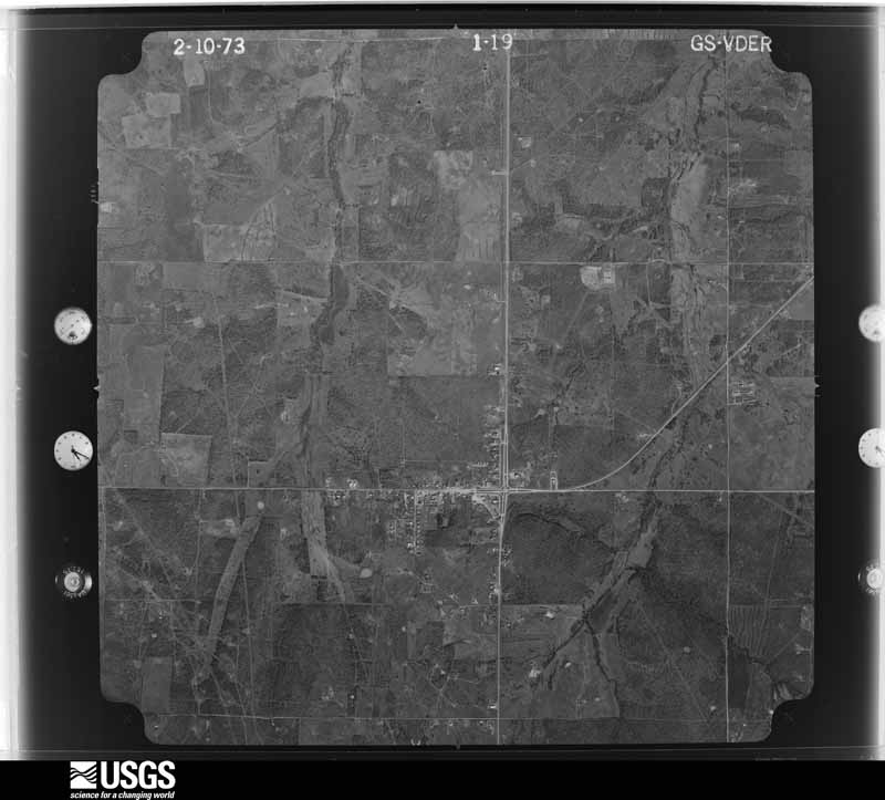
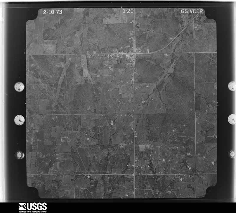
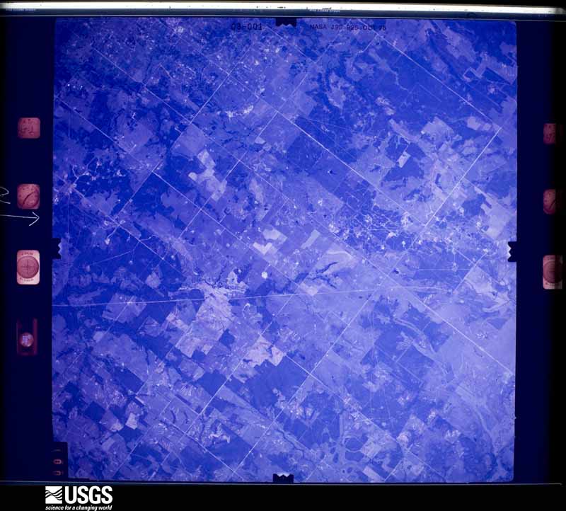
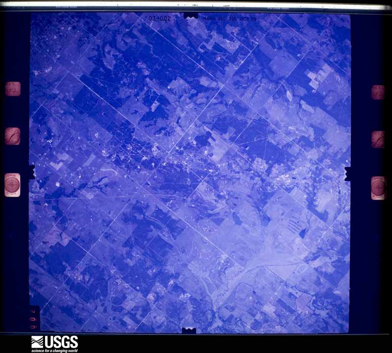
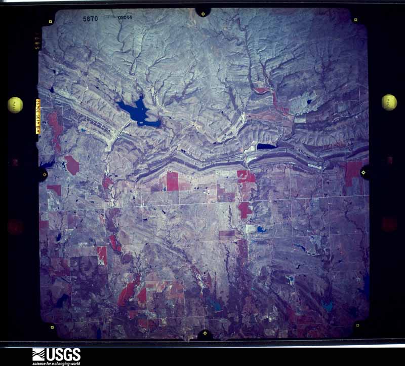
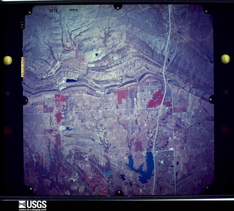
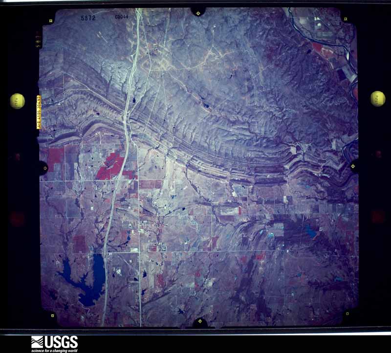
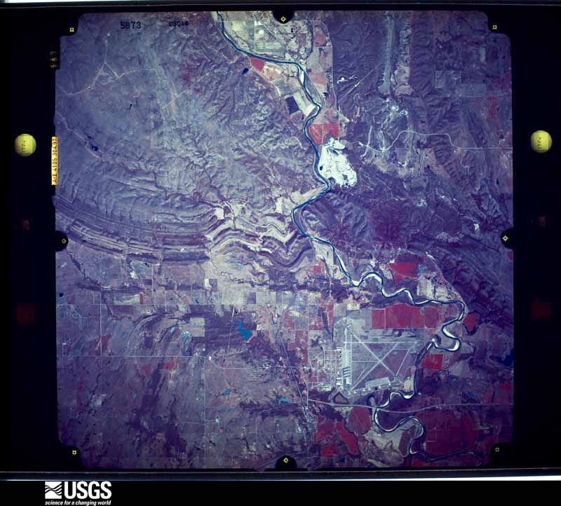
Flown by the U.S. Geological Survey between 1937 and 1989, the Aerial Photo Single Frames collection is the definitive mid-century view of the land: fields, roads and rivers as the camera saw them. The Survey holds 1,320 frames inside the rectangle that bounds this county; the 36 frames below were taken over the county itself, chosen across the decades of flights (at most four a year from that rectangle), so one flight cannot crowd out the rest. The full set is free to browse and download at EarthExplorer under the dataset Aerial Photo Single Frames.






The thermometers that kept this county's weather, and the gages that measured the flow of its streams, as the federal records hold them. The extremes below are measured values from those records, not estimates.
Who lived here in 1950, one enumeration district at a time, as the Census Bureau described each district. Each row opens its official National Archives result, with Population Schedules and ED Maps available there.
Every wildfire the federal occurrence database records inside this county: 151 of them, burning about 122,965 acres. 9 started naturally and 24 were recorded as arson. Each settlement page carries the fires within five miles of it.
| Reported cause | Fires |
|---|---|
| Debris and open burning | 38 |
| Missing data/not specified/undetermined | 38 |
| Arson/incendiarism | 24 |
| Power generation/transmission/distribution | 24 |
| Equipment and vehicle use | 13 |
| Natural | 9 |
| Fireworks | 1 |
| Other causes | 1 |
| Recreation and ceremony | 1 |
| Smoking | 1 |
| Misuse of fire by a minor | 1 |
The five largest, by the area the report gives. None of them was recorded as arson.
| Date | Cause | Size | Reported by | Name on the report |
|---|---|---|---|---|
| 9 April 2009 | Missing data/not specified/undetermined | 56,688 acres | Oklahoma Division of Forestry | LOCO/HEALDTON |
| 9 April 2009 | Missing data/not specified/undetermined | 23,824 acres | Oklahoma Division of Forestry | RATLIFF CITY/TATUMS |
| 12 January 2006 | Missing data/not specified/undetermined | 19,200 acres | Chickasaw Agency | RATLIFFCIT |
| 18 January 2006 | Missing data/not specified/undetermined | 4,000 acres | Oklahoma Division of Forestry | RATLIFF2 |
| 16 February 2006 | Missing data/not specified/undetermined | 2,900 acres | Oklahoma Division of Forestry | ARBUCKLE 2 |
| 12 April 2011 | Debris and open burning | 2,751 acres | Chickasaw Agency | BULLY FIRE |
| 5 February 2008 | Power generation/transmission/distribution | 1,589 acres | Chickasaw Agency | LOCO SPREAD |
| 29 January 2008 | Debris and open burning | 1,150 acres | Chickasaw Agency | DUNDEE |
Every settlement page carries the fires within five miles of it - see the settlement index below.
The NOAA Storm Events Database holds 898 reports for this county, causing 15 deaths, 113 injuries and about $46,686,810 in recorded property damage. Each settlement page carries the reports that name it.
| Kind of event | Reports |
|---|---|
| Hail | 513 |
| Thunderstorm Wind | 268 |
| Tornado | 65 |
| Flash Flood | 38 |
| Lightning | 10 |
| Flood | 2 |
| Wildfire | 1 |
| Funnel Cloud | 1 |
The most serious of them, by death, then injury, then recorded damage. The accounts are quoted exactly as the forecast office filed them.
| When | Event | Place named | Harm | What the report says |
|---|---|---|---|---|
| February 2009 | Tornado (EF4) | Wilson | 8 killed, 46 hurt, $3,000,000 | This long track tornado developed over far southeast Jefferson County, near the Red River, and continued northeast into Love County crossing through rural farmland north of Courtney, Rubottom and Oswalt. The tornado then crossed into Carter County, with sporadic damage noted in the sparsely populated areas in the southwest part of the county. The tornado appeared to reach its maximum width and intensity as it approached and moved through Lone Grove. The tornado destroyed or severely damaged numerous mobile homes, homes and businesses in and around Lone Grove. Numerous mobile homes were completely obliterated with few recognizable pieces left. EF4 damage was noted at two locations, one in Lone Grove and the other in the Majestic Hills area north of Ardmore. Numerous vehicles were rolled or thrown, some for considerable distances. Six of the fatalities occurred in mobile homes and one in a well-built home that sustained EF4 damage. The eighth fatality occurred when a truck driving south on Interstate 35 was hit by the tornado killing the driver. ||The tornado continued northeast, with major damage reported in the Majestic Hills addition and crossing Interstate-35 about a mile and a half north of the Prairie Valley Road exit. At least eight homes and a small private school were destroyed in the Majestic Hills neighborhood. It moved through rural areas of Northeast Carter County to the east of Springer. Approximately 46 people were injured, with 14 seriously injured. Eight people died in the Lone Grove area. At least 114 homes were damaged or destroyed, with at least 3500 losing power in and around Carter county. Debris from this tornado was picked up as far away as Sulphur. Monetary damage estimates were not available. |
| May 1995 | Tornado (F3) | Leon to | 3 killed, 6 hurt, $500,000 | no account filed |
| October 1979 | Tornado (F3) | not stated | 3 killed, 2 hurt, $250,000 | no account filed |
| June 2015 | Flash Flood | Ardmore | 1 killed | A two year old boy was swept away from his father's arms into Hickory Creek. |
| April 2024 | Tornado (EF2) | Ardmore | 19 hurt, $20,000,000 | The Ardmore tornado initially developed about 5 miles southwest of Ardmore, and moved north-northeast towards Ardmore. Some homes near Gateway Road had most or all of their roofs removed. Tree damage was significant along this area. ||The tornado then continued north-northeast through the west side of Ardmore especially near Plainview Road. Many homes suffered significant roof damage. Ardmore emergency management reported that 52 homes were damaged with 17 of them a total loss. The tornado moved near a Best Buy distribution center on the northwest side of Ardmore blowing over numerous trailers.||Continuing north-northeast, the tornado continued producing tree and power pole damage, and EF2 roof damage to another home near Lake Ardmore road. The tornado crossed Interstate 35 just east of Ardmore Club Lake and turned more northeast before dissipating near US Highway 77 north of Deer Creek Road. |
| May 1959 | Tornado (F3) | not stated | 8 hurt, $25,000 | no account filed |
| May 1993 | Thunderstorm Wind | Healdton | 6 hurt, $5,000,000 | no account filed |
| March 1977 | Tornado (F2) | not stated | 5 hurt, $25,000 | no account filed |
| April 1990 | Tornado (F2) | not stated | 4 hurt, $250,000 | no account filed |
| November 1958 | Tornado (F1) | not stated | 4 hurt, $30 | no account filed |
| March 2025 | Tornado (EF1) | Lone Grove | 3 hurt, $500,000 | A tornado developed east of Newport Road and Cardinal Road and moved north-northeast. At least three small homes were severely damaged. Three injuries were reported from one of these homes. |
| April 1972 | Tornado (F4) | not stated | 3 hurt, $25,000 | no account filed |
| October 2012 | Tornado (EF1) | Healdton | 2 hurt | A sheriff's deputy encountered a rain-wrapped tornado near Healdton that was embedded within a larger area of severe thunderstorm winds. The tornado developed approximately 3 miles southwest of Healdton and moved northeast toward Healdton Lake. Trees and power lines were damaged along the path. The most significant damage occurred at Healdton Lake where five mobile homes were destroyed. Two injuries reported in one of these homes. The tornado likely dissipated over or just northeast of Healdton Lake. |
| March 1990 | Tornado (F3) | not stated | 1 hurt, $2,500,000 | no account filed |
| April 1985 | Tornado (F2) | not stated | 1 hurt, $2,500,000 | no account filed |
| May 1993 | Tornado (F1) | Ardmore - | 1 hurt, $50,000 | no account filed |
| June 1997 | Flash Flood | Ardmore | 1 hurt, $25,000 | Run-off from torrential rain (about 2 inches in 45 minutes) swept two motorists into swift floodwaters and resulted in rapid-water rescues in both of the incidents. In the first incident, a woman driving a mini-van pulled into a parking lot to await the end of the downpour, but was washed by runoff into a nearby, full drainage ditch. The water in the ditch completely submerged the van with the woman trapped inside. She survived by breathing the air that was trapped in a shallow bubble at the ceiling of the van. A police officer, with the help of 2 bystanders, was finally able to break a window and pull her from the van. The woman was treated for shock and hypothermia, but was otherwise uninjured. Her van, valued at $20,000, was totalled.In the second incident, a man driving a car across a flooded low-water bridge was swept into a creek. He escaped from the car and was pulled to shore by nearby residents with a garden hose. Damage to the vehicle was estimated at $5000. |
| June 1973 | Tornado (F1) | not stated | 1 hurt, $25,000 | no account filed |
| June 2015 | Flash Flood | Milo | $5,000,000 | Carter County EM reported at least approximately 225 homes with flooding damage (est. $20k per home). At least one of these had 6 feet of water. Numerous had 4 feet of water. 1 older building collapsed. 20-40 tinhorns washed out (est. $20k per tinhorn). 1 bridge out (est. $180K). |
| September 1999 | Thunderstorm Wind | Gene Autry | $2,000,000 | no account filed |
| October 2000 | Flash Flood | South Portion | $1,200,000 | Significant flash flooding developed across the southern half of Carter County after 4 to 5 inches of rain fell over most of the area in a short period of time. The worst flooding occurred between Lone Grove and Ardmore where major damage was sustained to homes, businesses, bridges, roads, and vehicles totaling 1.2 million dollars. Also in Ardmore, a family in the southwest part of the city was rescued from their home, and so was a woman in the northwest part of the city. |
| April 2024 | Tornado (EF2) | Dickson | $1,000,000 | The Marietta-Lake Murray-Dickson Tornado moved from Love County into Carter County near Scott Road just east of Lake Murray. The tornado destroyed one mobile home, heavily damaged another and damaged many trees and power poles between the county line and where it crossed US Highway 70. The tornado turned north-northeast destroying one mobile home and damaging at least two others as it approached the town of Dickson. North of Dickson, at least one other home had significant roof damage and another mobile home was rolled in addition to continued tree and power pole damage. The tornado finally dissipated near US Highway 177 near the community of Baum. |
| May 2001 | Thunderstorm Wind | Lake Murray | $250,000 | Boats were overturned. |
| April 1979 | Tornado (F3) | not stated | $250,000 | no account filed |
| May 2001 | Thunderstorm Wind | Lake Murray | $200,000 | Numerous boats were overturned. |
| May 2001 | Tornado (F1) | Ratliff City | $125,000 | This tornado was reported by the Ratliff City Fire Department across extreme northwest Carter County. Shortly after forming, the tornado destroyed one barn and blew off the roof of another, then produced intermittent damage while moving toward Ratliff City. A shed was picked up and blown about 1/4 block on the north side of Ratliff City, while in Ratliff City, a roof was blown off a cinder block feed store; the front-facing wall and windows were blown out of a store; a haybarn was destroyed, and power poles and trees were downed. The damage path then turned more easterly with numerous large oak trees, approximately 12-14 inches in diameter, ripped out of the ground immediately east of town. In addition, a well-secured playground set made of wood was blown northeastward through a chain-linked fence. Scattered power pole and tree damage then continued to 4 1/2 miles east of Ratliff City. |
| March 2025 | Tornado (EF0) | Gene Autry | $100,000 | This tornado developed on the northern edge of the community of Gene Autry where a mobile home suffered roof damage and a camper was blown over. The tornado moved east-northeast crossing State Highway 53 and moving into the southern portion of Ardmore Municipal Airport. A barn was damaged along Highway 53, and windows were damaged in on outbuilding on the airport grounds. |
| September 2000 | Wildfire | North Portion | $100,000 | no account filed |
| June 1996 | Lightning | Ardmore | $100,000 | no account filed |
| May 2015 | Flash Flood | Ardmore | $80,000 | Several vehicles stranded in two to three feet of running water over Commerce Street. |
| May 2009 | Lightning | Ratliff City | $65,000 | A lightning bolt struck a house near Highway 76 in Pruitt City. The house was destroyed. Monetary damages were estimated. |
| May 2001 | Thunderstorm Wind | Gene Autry | $50,000 | The roof was blown off at Dollar General Store Distribution Warehouse. |
| May 2001 | Thunderstorm Wind | Ardmore | $50,000 | A tractor-trailer was overturned on Interstate 35 near mile marker 34. The cafeteria at Ardmore High School sustained structural damage. |
| September 1995 | Thunderstorm Wind | Ardmore | $50,000 | Severe thunderstorm winds in Carter County damaged siding and the roofs at a hangar and a water plant at the Ardmore Air Base. Two utility poles were also blown down. |
| March 1995 | Thunderstorm Wind | Wilson | $50,000 | Severe thunderstorms moved through southwestern and southern Oklahoma the evening of the 12th, producing up to three-quarter-inch hail and winds up to 60 mph. Severe thunderstorm winds also caused a tractor-semitrailer to overturn and blew signs down near Wilson in Carter County. |
| April 1995 | Thunderstorm Wind | Lone Grove | $50,000 | no account filed |
| April 1994 | Thunderstorm Wind | Wilson | $50,000 | no account filed |
| May 1994 | Thunderstorm Wind | Northern Lone | $50,000 | no account filed |
| April 1994 | Thunderstorm Wind | Lone Grove | $50,000 | no account filed |
| May 1993 | Thunderstorm Wind | Lone Grove | $50,000 | no account filed |
| May 1993 | Tornado (F1) | Woodford | $50,000 | no account filed |
| May 1993 | Thunderstorm Wind | Ardmore | $50,000 | no account filed |
| June 1998 | Thunderstorm Wind | Wilson | $40,000 | Severe thunderstorm winds tore the roofs off several houses. |
| June 2005 | Thunderstorm Wind | Springer | $30,000 | Power lines were downed. A two mile stretch of utility poles were also downed. One of the poles fell on a house. |
| May 2000 | Thunderstorm Wind | Ardmore | $30,000 | Power lines were downed. One mobile home was destroyed. Trees were felled onto vehicles, and a rig was blown over at Uniroyal Tire Plant. |
| May 2025 | Flash Flood | Lone Grove | $25,000 | A portion of Memorial Road was washed out due to flooding along a dry creek. The event time is approximate. |
| May 2025 | Flood | Ratliff City | $25,000 | Roadway flooding occurred near the intersection of Oklahoma Highway 7 and Pelton Road. At least one water rescue from a vehicle occurred at this location. The event time is approximate. |
| April 2025 | Thunderstorm Wind | Fox | $25,000 | A social media image showing metal roof decking of a building blown off. Event time is estimated from radar observations. |
| June 2025 | Thunderstorm Wind | Lone Grove | $25,000 | Minor roof damage to a few houses near the intersection of Brock Road and Buck Skin Road. The event time is estimated from radar observations. |
| May 2013 | Thunderstorm Wind | Gene Autry | $25,000 | Roof blown off of Old Gene Autry Gym. |
| February 2001 | Thunderstorm Wind | Lone Grove | $25,000 | A large section of roof was blown off a building, causing the walls to collapse. |
| May 2000 | Thunderstorm Wind | Ardmore | $25,000 | The roof was damaged at Southern Oklahoma Tech Center. |
| April 1996 | Thunderstorm Wind | Ratliff City | $25,000 | no account filed |
| March 1991 | Tornado (F1) | not stated | $25,000 | no account filed |
| May 1988 | Tornado (F1) | not stated | $25,000 | no account filed |
| April 1985 | Tornado (F1) | not stated | $25,000 | no account filed |
| August 1979 | Tornado (F1) | not stated | $25,000 | no account filed |
| March 1977 | Tornado (F2) | not stated | $25,000 | no account filed |
| June 1962 | Tornado (F1) | not stated | $25,000 | no account filed |
| March 1953 | Tornado (F3) | not stated | $25,000 | no account filed |
The Survey's mineral resources record lists 144 workings inside this county. 8 still produce and 136 are closed or unrecorded. Each settlement page carries the workings within five miles of it.
| Commodity | Workings |
|---|---|
| Sand and Gravel, Construction | 51 |
| Stone, Crushed/Broken | 50 |
| Stone, Crushed/Broken, Sand and Gravel, Construction | 34 |
| Sand and Gravel, Construction, Stone, Crushed/Broken | 10 |
| Flagstone, Sand and Gravel, Construction | 1 |
The least common of them first, because a county's hundredth gravel pit says nothing its first ten did not.
| Where | Site | Commodity | Status | Recorded |
|---|---|---|---|---|
| Unknown Sand Pit | Flagstone, Sand and Gravel, Construction | Past Producer | ||
| Unknown Gravel Pit | Sand and Gravel, Construction, Stone, Crushed/Broken | Past Producer | ||
| Unknown Gravel Pit | Sand and Gravel, Construction, Stone, Crushed/Broken | Past Producer | ||
| Unknown Gravel Pit | Sand and Gravel, Construction, Stone, Crushed/Broken | Past Producer | ||
| Unknown Gravel Pit | Sand and Gravel, Construction, Stone, Crushed/Broken | Past Producer | ||
| Unknown Gravel Pit | Sand and Gravel, Construction, Stone, Crushed/Broken | Past Producer | ||
| Unknown Gravel Pit | Sand and Gravel, Construction, Stone, Crushed/Broken | Past Producer | ||
| Unknown Gravel Pit | Sand and Gravel, Construction, Stone, Crushed/Broken | Past Producer | ||
| Unknown Limestone Pit | Sand and Gravel, Construction, Stone, Crushed/Broken | Past Producer | ||
| Unknown Limestone Pit | Sand and Gravel, Construction, Stone, Crushed/Broken | Past Producer | ||
| Unknown Limestone Pit | Sand and Gravel, Construction, Stone, Crushed/Broken | Past Producer | ||
| Unknown Gravel Pit | Stone, Crushed/Broken, Sand and Gravel, Construction | Past Producer | ||
| Unknown Gravel Pit | Stone, Crushed/Broken, Sand and Gravel, Construction | Past Producer | ||
| Unknown Gravel Pit | Stone, Crushed/Broken, Sand and Gravel, Construction | Past Producer | ||
| Unknown Gravel Pit | Stone, Crushed/Broken, Sand and Gravel, Construction | Past Producer | ||
| Unknown Gravel Pit | Stone, Crushed/Broken, Sand and Gravel, Construction | Past Producer | ||
| Unknown Gravel Pit | Stone, Crushed/Broken, Sand and Gravel, Construction | Past Producer | ||
| Unknown Gravel Pit | Stone, Crushed/Broken, Sand and Gravel, Construction | Past Producer | ||
| Unknown Gravel Pit | Stone, Crushed/Broken, Sand and Gravel, Construction | Past Producer | ||
| Unknown Gravel Pit | Stone, Crushed/Broken, Sand and Gravel, Construction | Past Producer | ||
| Unknown Gravel Pit | Stone, Crushed/Broken, Sand and Gravel, Construction | Past Producer | ||
| Unknown Gravel Pit | Stone, Crushed/Broken, Sand and Gravel, Construction | Past Producer | ||
| Unknown Gravel Pit | Stone, Crushed/Broken, Sand and Gravel, Construction | Past Producer | ||
| Unknown Gravel Pit | Stone, Crushed/Broken, Sand and Gravel, Construction | Past Producer | ||
| Unknown Gravel Pit | Stone, Crushed/Broken, Sand and Gravel, Construction | Past Producer | ||
| Unknown Gravel Pit | Stone, Crushed/Broken, Sand and Gravel, Construction | Past Producer | ||
| Unknown Gravel Pit | Stone, Crushed/Broken, Sand and Gravel, Construction | Past Producer | ||
| Unknown Gravel Pit | Stone, Crushed/Broken, Sand and Gravel, Construction | Past Producer | ||
| Unknown Gravel Pit | Stone, Crushed/Broken, Sand and Gravel, Construction | Past Producer | ||
| Unknown Limestone Pit | Stone, Crushed/Broken, Sand and Gravel, Construction | Past Producer | ||
| Unknown Limestone Pit | Stone, Crushed/Broken, Sand and Gravel, Construction | Past Producer | ||
| Unknown Limestone Pit | Stone, Crushed/Broken, Sand and Gravel, Construction | Past Producer | ||
| Unknown Limestone Pit | Stone, Crushed/Broken, Sand and Gravel, Construction | Past Producer | ||
| Unknown Limestone Pit | Stone, Crushed/Broken, Sand and Gravel, Construction | Past Producer | ||
| Unknown Limestone Pit | Stone, Crushed/Broken, Sand and Gravel, Construction | Past Producer | ||
| Unknown Limestone Pit | Stone, Crushed/Broken, Sand and Gravel, Construction | Past Producer | ||
| Unknown Limestone Pit | Stone, Crushed/Broken, Sand and Gravel, Construction | Past Producer | ||
| Unknown Limestone Pit | Stone, Crushed/Broken, Sand and Gravel, Construction | Past Producer | ||
| Unknown Limestone Pit | Stone, Crushed/Broken, Sand and Gravel, Construction | Past Producer | ||
| Unknown Limestone Pit | Stone, Crushed/Broken, Sand and Gravel, Construction | Past Producer | ||
| Unknown Limestone Pit | Stone, Crushed/Broken, Sand and Gravel, Construction | Past Producer | ||
| Unknown Limestone Pit | Stone, Crushed/Broken, Sand and Gravel, Construction | Past Producer | ||
| Unknown Limestone Pit | Stone, Crushed/Broken, Sand and Gravel, Construction | Past Producer | ||
| Unknown Limestone Pit | Stone, Crushed/Broken, Sand and Gravel, Construction | Past Producer | ||
| Unknown Sand Pit | Stone, Crushed/Broken, Sand and Gravel, Construction | Past Producer | ||
| Ardmore Plant | Stone, Crushed/Broken | Producer | ||
| Criner Hills Crusher Limestone Pit | Stone, Crushed/Broken | Producer | ||
| Criner Hills Crusher Limestone Pit | Stone, Crushed/Broken | Past Producer | ||
| Criner Hills Crusher Limestone Pit | Stone, Crushed/Broken | Past Producer | ||
| Dolese Bros Limestone Pit | Stone, Crushed/Broken | Past Producer | ||
| Dolese Bros Limestone Pit | Stone, Crushed/Broken | Past Producer | ||
| Unknown Gravel Pit | Stone, Crushed/Broken | Past Producer | ||
| Unknown Limestone Pit | Stone, Crushed/Broken | Past Producer | ||
| Unknown Limestone Pit | Stone, Crushed/Broken | Past Producer | ||
| Unknown Limestone Pit | Stone, Crushed/Broken | Past Producer | ||
| Unknown Limestone Pit | Stone, Crushed/Broken | Past Producer | ||
| Unknown Limestone Pit | Stone, Crushed/Broken | Past Producer | ||
| Unknown Limestone Pit | Stone, Crushed/Broken | Past Producer | ||
| Unknown Limestone Pit | Stone, Crushed/Broken | Past Producer | ||
| Unknown Limestone Pit | Stone, Crushed/Broken | Past Producer | ||
| Unknown Limestone Pit | Stone, Crushed/Broken | Past Producer | ||
| Unknown Limestone Pit | Stone, Crushed/Broken | Past Producer | ||
| Unknown Limestone Pit | Stone, Crushed/Broken | Past Producer | ||
| Unknown Limestone Pit | Stone, Crushed/Broken | Past Producer | ||
| Unknown Limestone Pit | Stone, Crushed/Broken | Past Producer | ||
| Unknown Limestone Pit | Stone, Crushed/Broken | Past Producer | ||
| Unknown Limestone Pit | Stone, Crushed/Broken | Past Producer | ||
| Unknown Limestone Pit | Stone, Crushed/Broken | Past Producer | ||
| Unknown Limestone Pit | Stone, Crushed/Broken, Sand and Gravel, Construction | Past Producer | ||
| Unknown Limestone Pit | Stone, Crushed/Broken | Producer | ||
| Unknown Limestone Pit | Stone, Crushed/Broken | Past Producer | ||
| Unknown Limestone Pit | Stone, Crushed/Broken | Past Producer | ||
| Unknown Limestone Pit | Stone, Crushed/Broken, Sand and Gravel, Construction | Past Producer | ||
| Unknown Limestone Pit | Stone, Crushed/Broken | Past Producer | ||
| Unknown Limestone Pit | Stone, Crushed/Broken | Past Producer | ||
| Unknown Limestone Pit | Stone, Crushed/Broken | Past Producer | ||
| Unknown Limestone Pit | Stone, Crushed/Broken | Past Producer | ||
| Unknown Limestone Pit | Stone, Crushed/Broken | Past Producer | ||
| Unknown Limestone Pit | Stone, Crushed/Broken | Past Producer | ||
| Unknown Limestone Pit | Stone, Crushed/Broken | Past Producer | ||
| Unknown Limestone Pit | Stone, Crushed/Broken | Past Producer | ||
| Unknown Limestone Pit | Stone, Crushed/Broken | Past Producer | ||
| Unknown Limestone Pit | Stone, Crushed/Broken | Past Producer | ||
| Unknown Limestone Pit | Stone, Crushed/Broken | Producer | ||
| Unknown Limestone Pit | Stone, Crushed/Broken | Past Producer | ||
| Unknown Limestone Pit | Stone, Crushed/Broken | Past Producer | ||
| Unknown Limestone Pit | Stone, Crushed/Broken | Past Producer | ||
| Unknown Limestone Pit | Stone, Crushed/Broken | Past Producer | ||
| Unknown Limestone Pit | Stone, Crushed/Broken | Past Producer | ||
| Unknown Limestone Pit | Stone, Crushed/Broken | Past Producer | ||
| Ardmore Pits | Sand and Gravel, Construction | Producer | ||
| Unknown Gravel | Sand and Gravel, Construction | Past Producer | ||
| Unknown Gravel Pit | Sand and Gravel, Construction | Past Producer | ||
| Unknown Gravel Pit | Sand and Gravel, Construction | Past Producer | ||
| Unknown Gravel Pit | Sand and Gravel, Construction | Past Producer | ||
| Unknown Gravel Pit | Sand and Gravel, Construction | Past Producer | ||
| Unknown Gravel Pit | Sand and Gravel, Construction | Past Producer | ||
| Unknown Gravel Pit | Sand and Gravel, Construction | Past Producer | ||
| Unknown Gravel Pit | Sand and Gravel, Construction | Past Producer | ||
| Unknown Gravel Pit | Sand and Gravel, Construction | Past Producer | ||
| Unknown Gravel Pit | Sand and Gravel, Construction | Past Producer | ||
| Unknown Gravel Pit | Sand and Gravel, Construction | Past Producer | ||
| Unknown Gravel Pit | Sand and Gravel, Construction | Past Producer | ||
| Unknown Gravel Pit | Sand and Gravel, Construction | Producer | ||
| Unknown Gravel Pit | Sand and Gravel, Construction | Past Producer | ||
| Unknown Gravel Pit | Sand and Gravel, Construction | Past Producer | ||
| Unknown Gravel Pit | Sand and Gravel, Construction | Past Producer | ||
| Unknown Gravel Pit | Sand and Gravel, Construction | Past Producer | ||
| Unknown Gravel Pit | Sand and Gravel, Construction | Past Producer | ||
| Unknown Gravel Pit | Sand and Gravel, Construction | Past Producer | ||
| Unknown Gravel Pit | Sand and Gravel, Construction | Past Producer | ||
| Unknown Gravel Pit | Sand and Gravel, Construction | Past Producer | ||
| Unknown Gravel Pit | Sand and Gravel, Construction | Past Producer | ||
| Unknown Gravel Pit | Sand and Gravel, Construction | Past Producer | ||
| Unknown Gravel Pit | Sand and Gravel, Construction | Past Producer | ||
| Unknown Gravel Pit | Sand and Gravel, Construction | Past Producer | ||
| Unknown Gravel Pit | Sand and Gravel, Construction | Past Producer | ||
| Unknown Gravel Pit | Sand and Gravel, Construction | Past Producer | ||
| Unknown Gravel Pit | Sand and Gravel, Construction | Past Producer | ||
| Unknown Gravel Pit | Sand and Gravel, Construction | Past Producer | ||
| Unknown Gravel Pit | Sand and Gravel, Construction | Past Producer | ||
| Unknown Gravel Pit | Sand and Gravel, Construction | Past Producer | ||
| Unknown Sand Pit | Sand and Gravel, Construction | Past Producer | ||
| Unknown Sand Pit | Sand and Gravel, Construction | Past Producer | ||
| Unknown Sand Pit | Sand and Gravel, Construction | Past Producer | ||
| Unknown Sand Pit | Sand and Gravel, Construction | Past Producer | ||
| Unknown Sand Pit | Sand and Gravel, Construction | Past Producer | ||
| Unknown Sand Pit | Sand and Gravel, Construction | Past Producer | ||
| Unknown Sand Pit | Sand and Gravel, Construction | Past Producer | ||
| Unknown Sand Pit | Sand and Gravel, Construction | Past Producer | ||
| Unknown Sand Pit | Sand and Gravel, Construction | Past Producer | ||
| Unknown Sand Pit | Sand and Gravel, Construction | Past Producer | ||
| Unknown Sand Pit | Sand and Gravel, Construction | Past Producer | ||
| Unknown Sand Pit | Sand and Gravel, Construction | Producer | ||
| Unknown Sand Pit | Sand and Gravel, Construction | Past Producer | ||
| Unknown Sand Pit | Sand and Gravel, Construction | Past Producer | ||
| Unknown Sandstone Pit | Sand and Gravel, Construction | Past Producer | ||
| Unknown Sandstone Pit | Sand and Gravel, Construction | Past Producer | ||
| Unknown Sandstone Pit | Sand and Gravel, Construction | Past Producer |
Named settlements recorded in the Geographic Names Information System, each with the topographic sheets covering it. Villages, hamlets and abandoned places alike. Each is shown with the nearest named watercourse or landform and the survey quadrangle it falls on. The 4 places that were also surveyed for fire insurance come first, with the number of atlases and photographs held for them.
Ardmore census division · 73401 · Ardmore West quadrangle
17 sheets, 1901 to 1986
Fire insurance: 10 atlases
Healdton Central census division · 73438 · On Whisky Creek · Healdton quadrangle
15 sheets, 1901 to 1986
Fire insurance: 3 atlases
Wilson census division · 73463 · Healdton quadrangle
15 sheets, 1901 to 1986
Fire insurance: 3 atlases
Ardmore North census division · 73401 · On Big Branch · Nebo quadrangle
14 sheets, 1901 to 1985
Ardmore census division · 73443 · On Polecat Creek · Healdton SE quadrangle
16 sheets, 1901 to 1986
Healdton North census division · 73481 · On Briar Branch · Fox quadrangle
15 sheets, 1901 to 1986
Ardmore North census division · 73437 · On Russell Pretty Branch · Fox quadrangle
15 sheets, 1901 to 1986
Ardmore North census division · 73458 · On Spring Creek · Milo quadrangle
15 sheets, 1901 to 1986
Healdton North census division · 73481 · On Flag Branch · Fox quadrangle
15 sheets, 1901 to 1986
Healdton North census division · 73481 · Cottonwood Creek quadrangle
14 sheets, 1901 to 1986
No longer a settlement
Healdton North census division · 73481 · Ratliff City quadrangle
14 sheets, 1901 to 1986
Healdton North census division · 73481 · Ratliff City quadrangle
14 sheets, 1901 to 1986
Wilson census division · 73463 · Healdton SW quadrangle
16 sheets, 1901 to 1986
No longer a settlement
Wilson census division · 73463 · On Red Oak Creek · Healdton quadrangle
15 sheets, 1901 to 1986
Healdton North census division · 73488 · On Sandy Bear Creek · Pernell quadrangle
12 sheets, 1902 to 1986
The vanished settlements of Carter County: the places named above that are no longer on the map.
17 topographic sheets and 10 fire insurance atlases, 1894 to 1948
0 topographic sheets and 5 fire insurance atlases, 1902 to 1923
15 topographic sheets and 3 fire insurance atlases, 1923 to 1939
15 topographic sheets and 3 fire insurance atlases, 1920 to 1934