 Block
From the record
20 National Register listings published here, 1 of them a National Historic Landmark.
Sources: the National Register database, National Park Service
84 topographic sheets and 11 fire insurance atlases across 2 places.
20 National Register listings published here, 1 of them a National Historic Landmark.
Sources: the National Register database, National Park Service
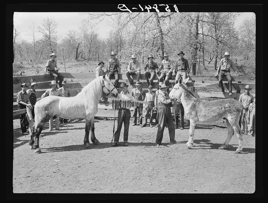
Taken for the Office of War Information and the Farm Security Administration, who photographed the country between 1935 and 1944. Works of United States government photographers, with no known restriction on use. Each opens its catalogue record.
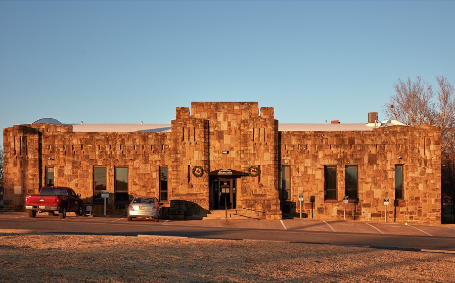
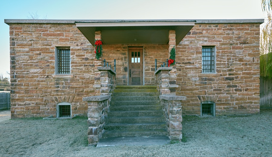
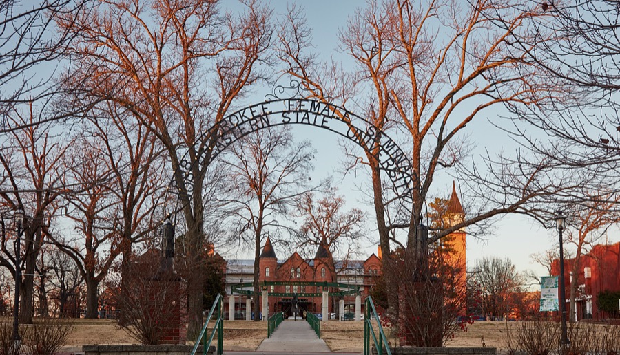




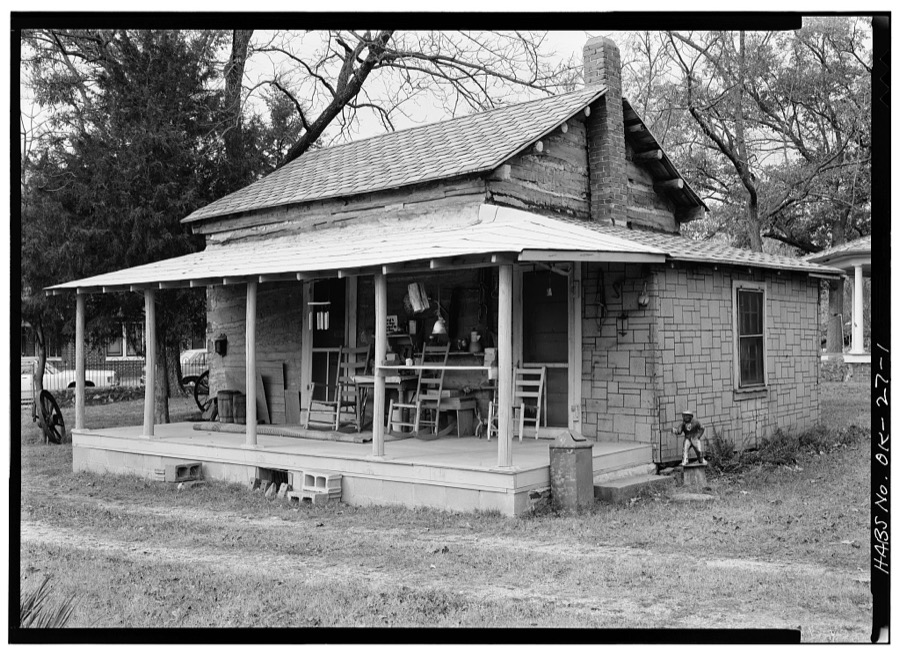
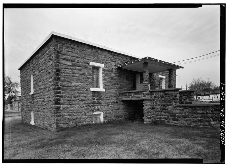
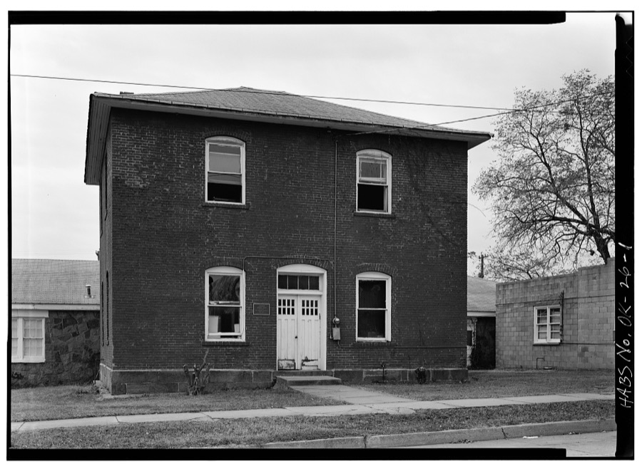
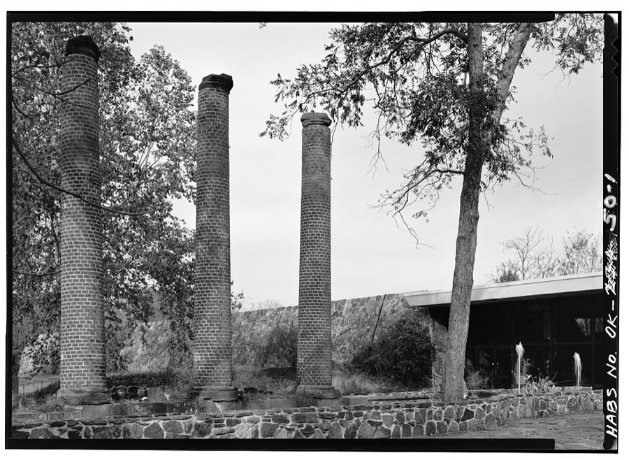
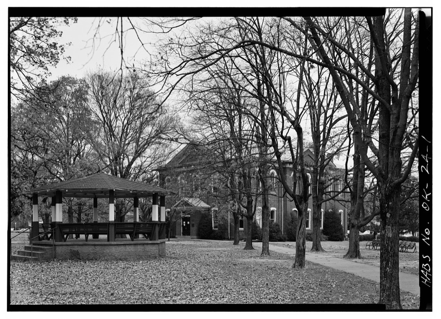
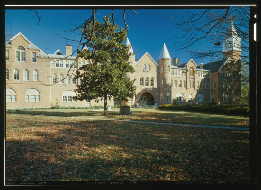
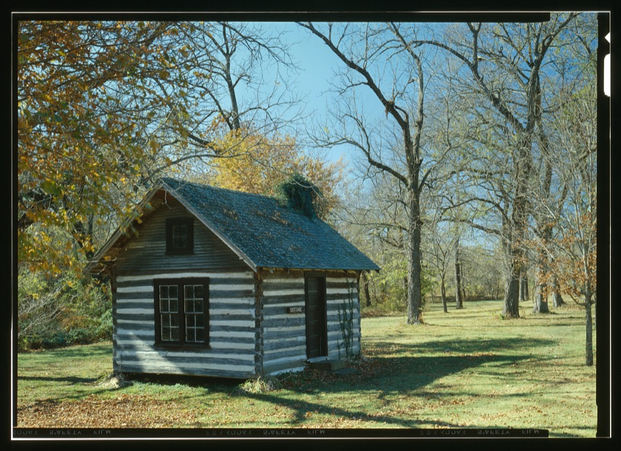
Every property in this county listed on the National Register of Historic Places, with the year it was listed and the federal nomination document.
| Photograph | Property | Type | Listed | Reference |
|---|---|---|---|---|
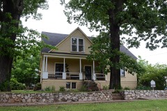 | Alston-Bedwell House | building | 2005 | 05001002 |
| American Baptist Home Mission House | building | 2010 | 10000621 | |
 | American Legion Hut | building | 2006 | 06000798 |
 | Cherokee Female Seminary | building | 1973 | 73001558 |
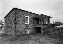 | Cherokee National Jail | building | 1974 | 74001656 |
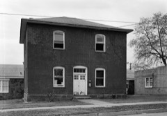 | Cherokee Supreme Court Building | building | 1974 | 74001657 |
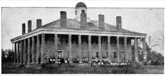 | First Cherokee Female Seminary Site | site | 1974 | 74001658 |
 | M.E. Franklin House | building | 2006 | 06000791 |
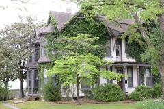 | French-Parks House | building | 1985 | 85000618 |
| Illinois Campground | site | 2004 | 04001330 | |
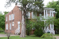 | Indian University of Tahlequah | building | 1976 | 76001557 |
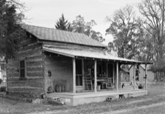 | Dr. Irwin D. Loeser Log Cabin | building | 1978 | 78002221 |
| Leonard M. Logan House | building | 2005 | 05001165 | |
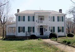 | Murrell Home | building | 1970 | 70000530 |
| Park Hill Mission Cemetery | site | 2006 | 06001113 | |
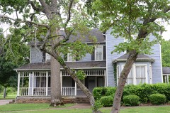 | Rosamund | building | 2006 | 06000793 |
| Ross Cemetery | district | 2002 | 02000170 | |
 | Tahlequah Armory | building | 1994 | 94000488 |
 | Tahlequah Carnegie Library | building | 2003 | 03000516 |
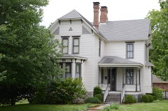 | Joseph M. Thompson House | building | 1993 | 93000155 |
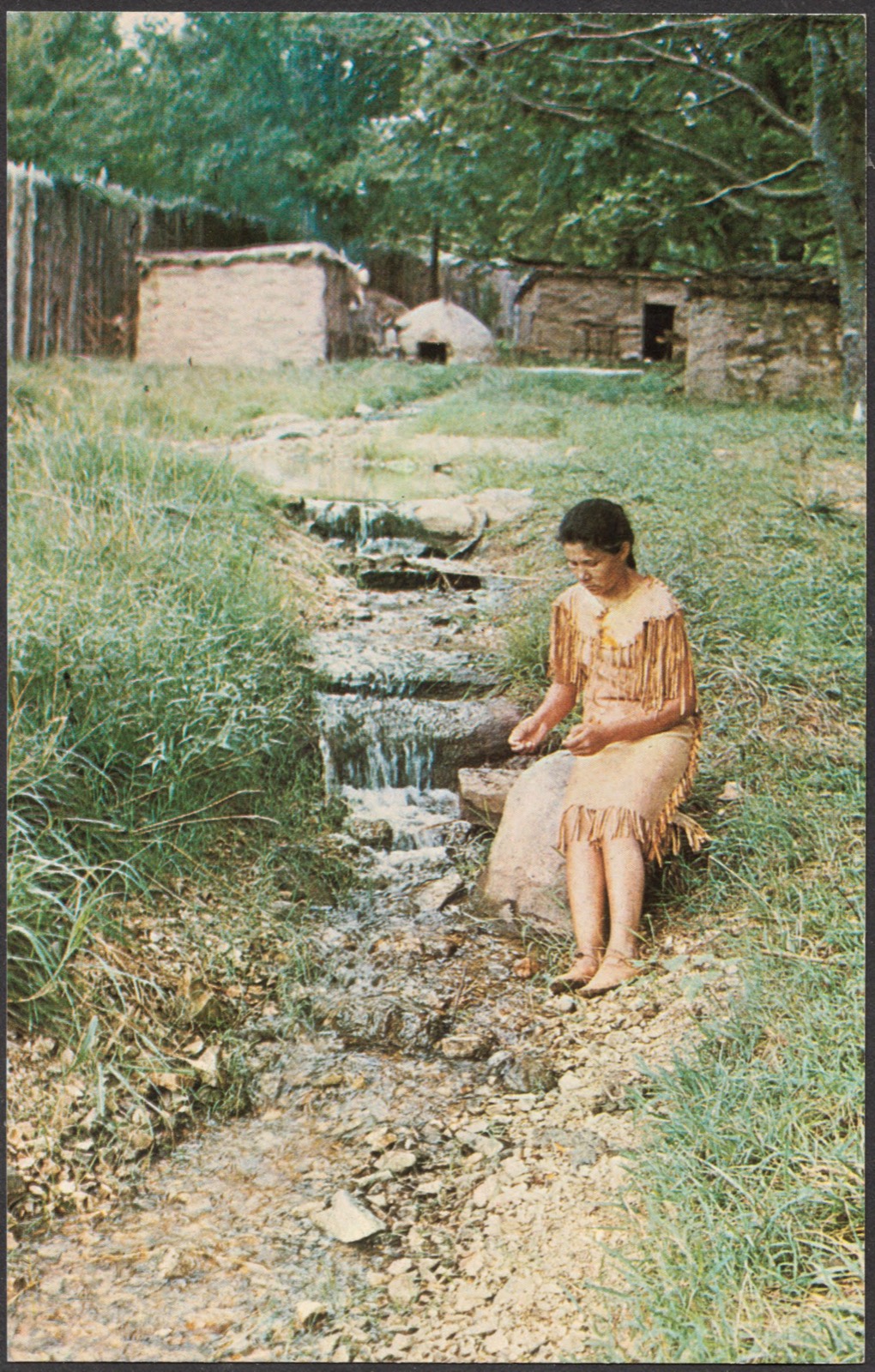
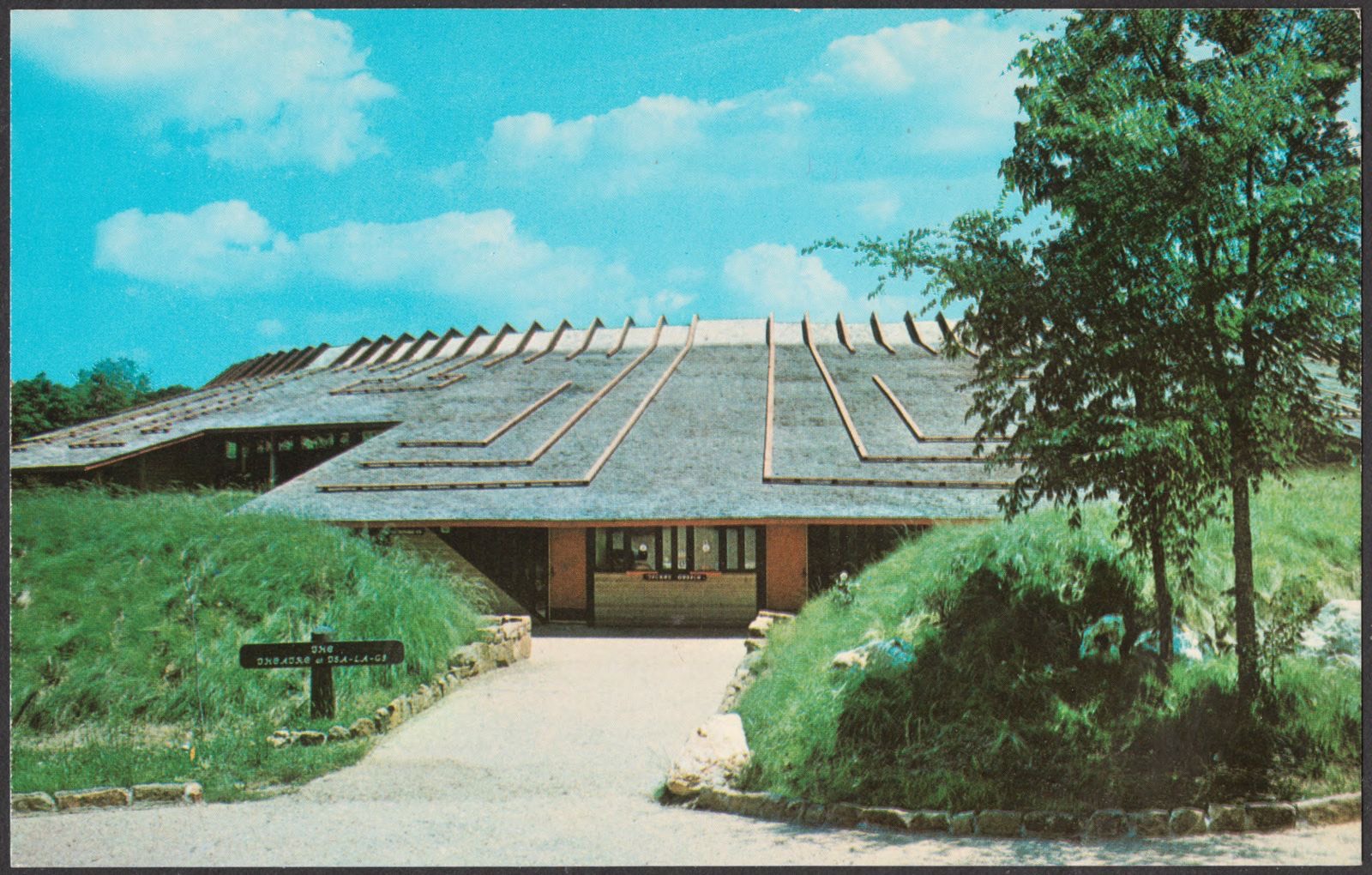
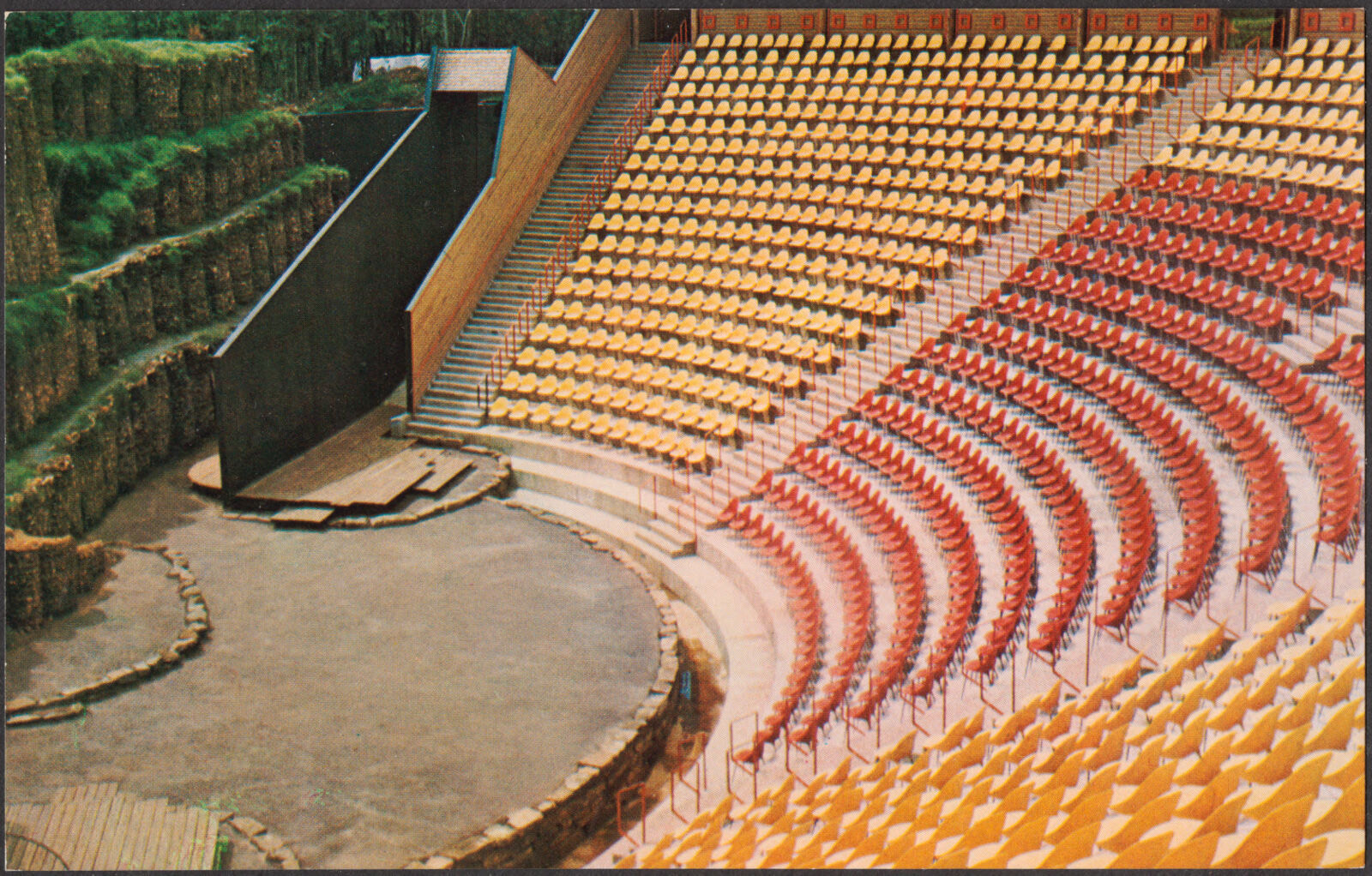
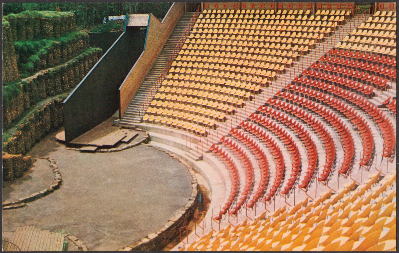
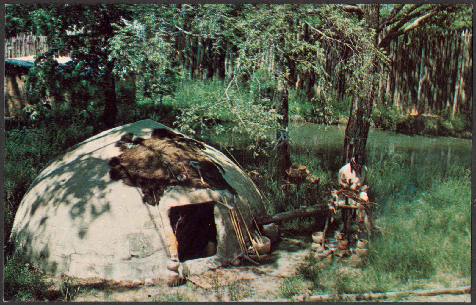
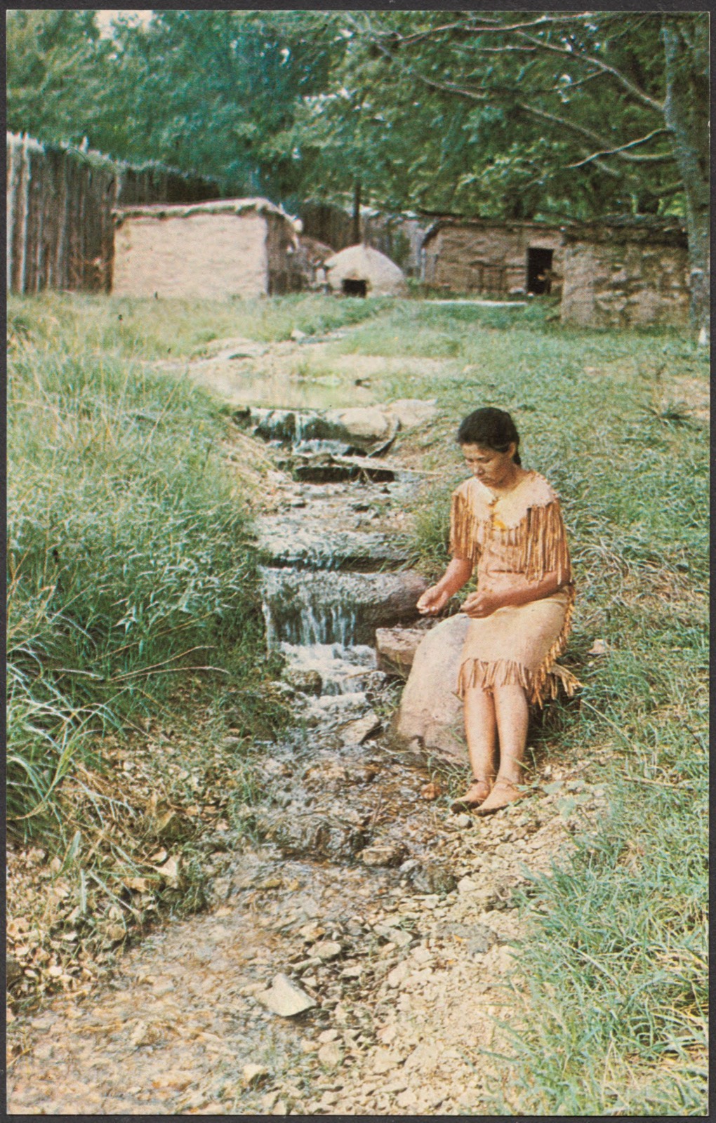
Selected from the Digital Public Library of America's 14 image records catalogued for this county. Every one shown here carries a public-domain status or a licence that permits reuse on a site that carries advertising; non-commercial, share-alike and restricted images are excluded. The selection is spread across the county's towns (at most eight per town), so no single institution's bulk upload crowds out the rest. Each opens the holding library's record, and the complete set at the Digital Public Library of America is one click away.






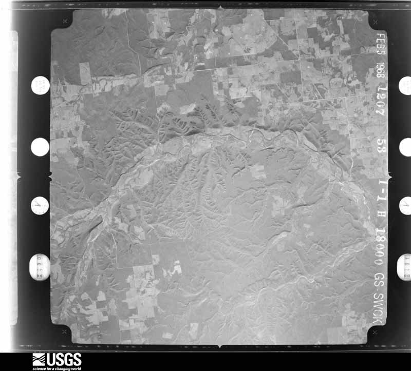
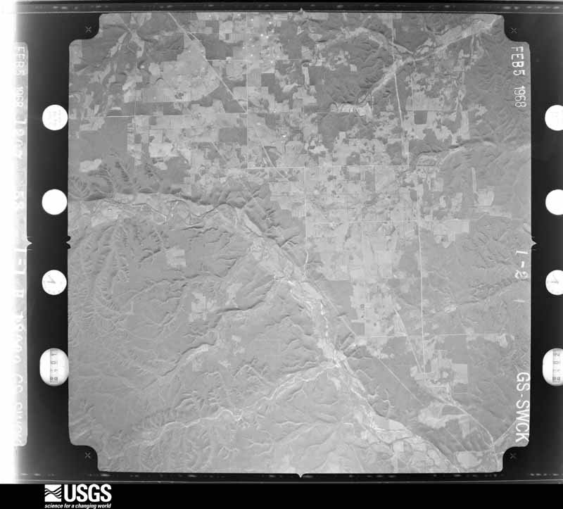
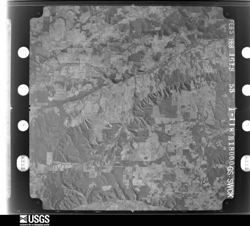
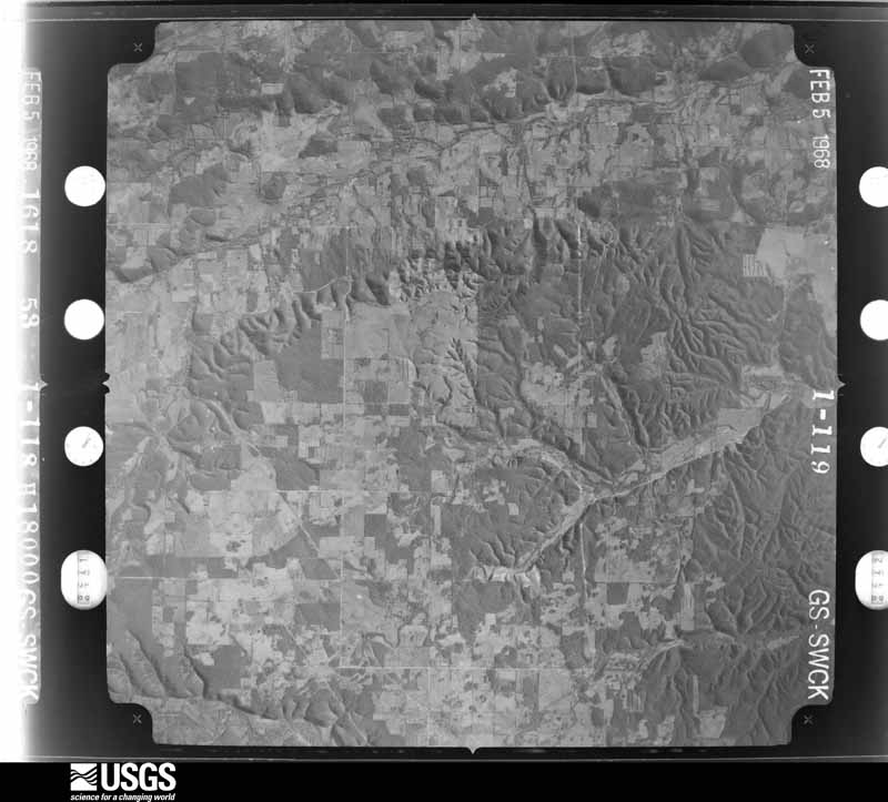
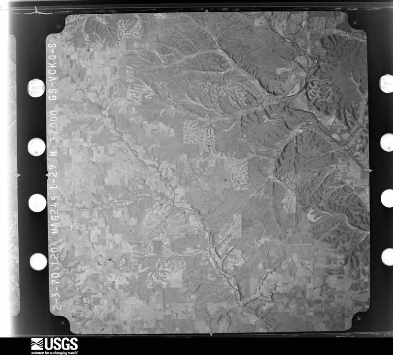
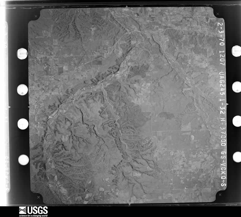
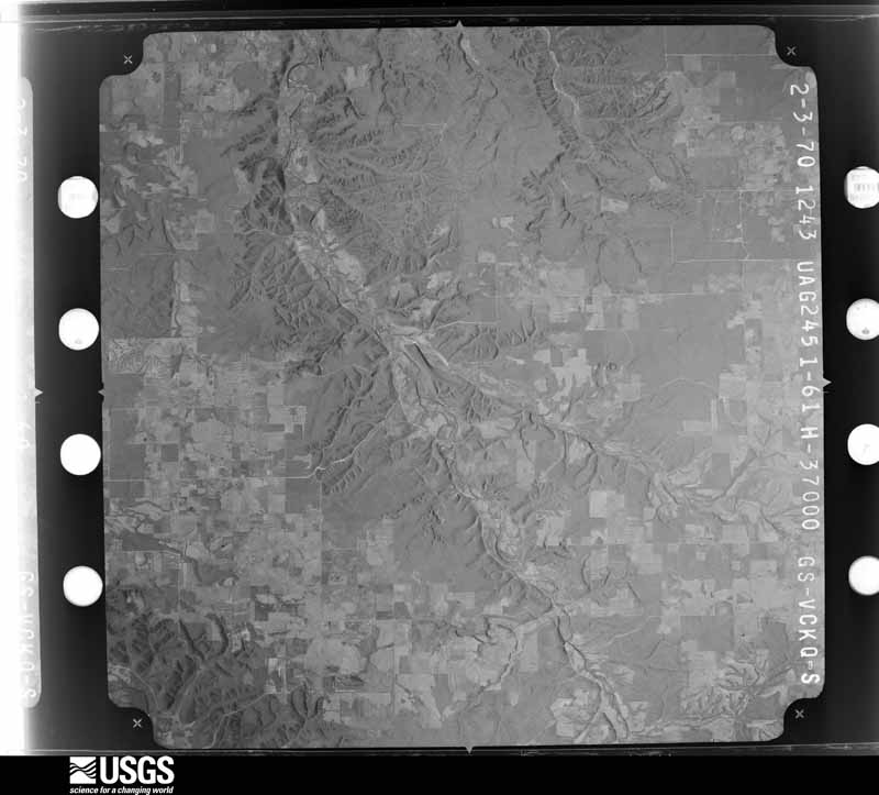
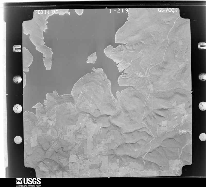
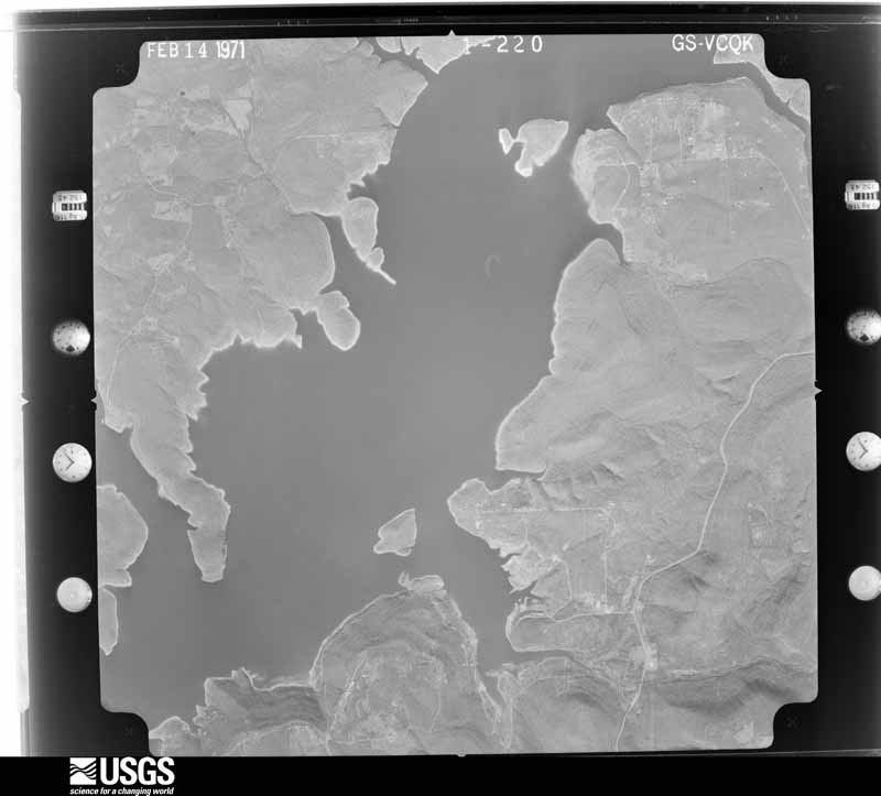
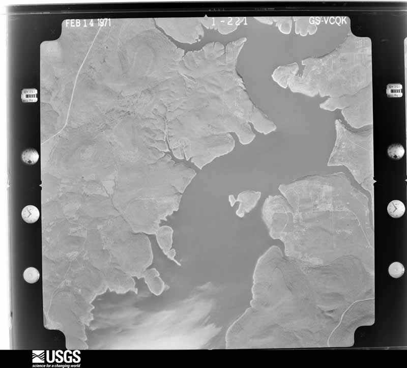
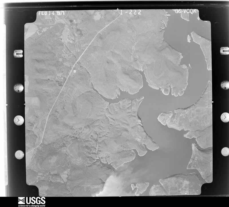
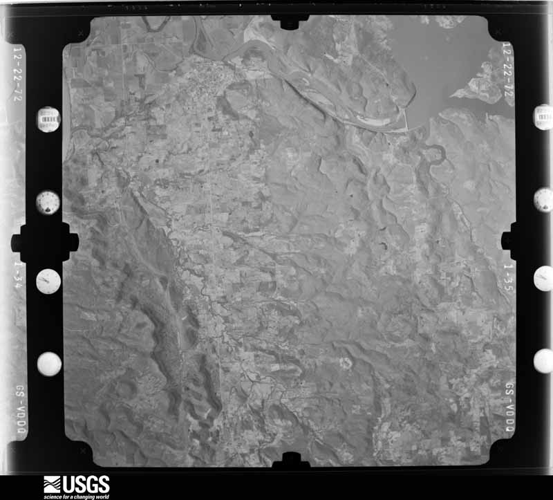
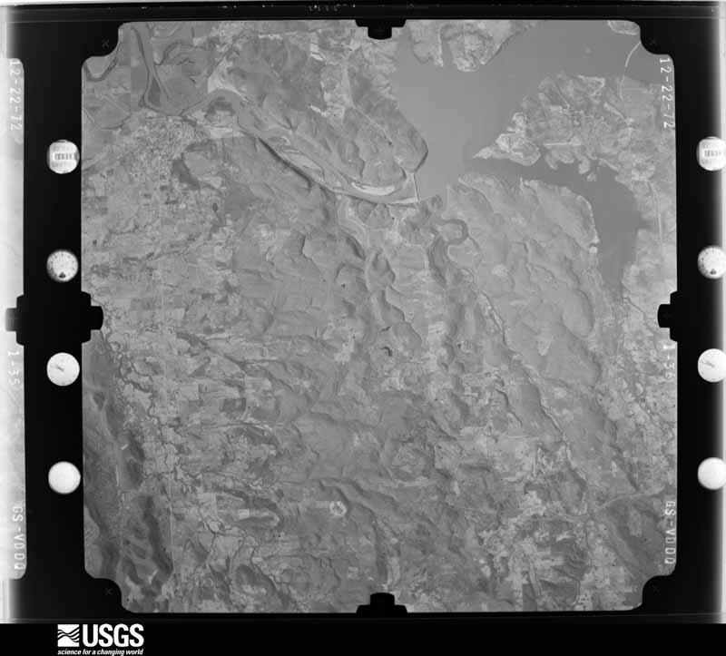
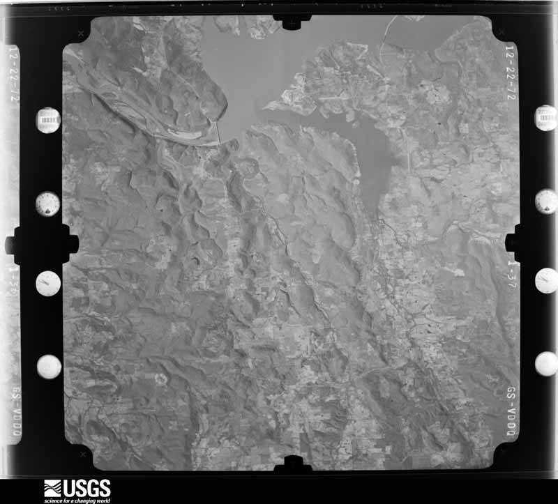
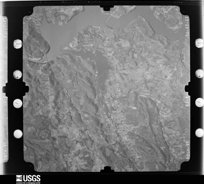
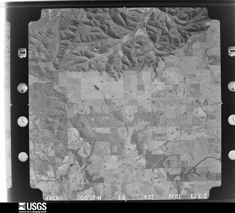
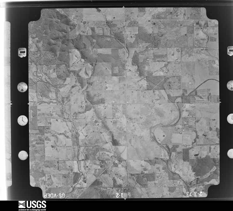
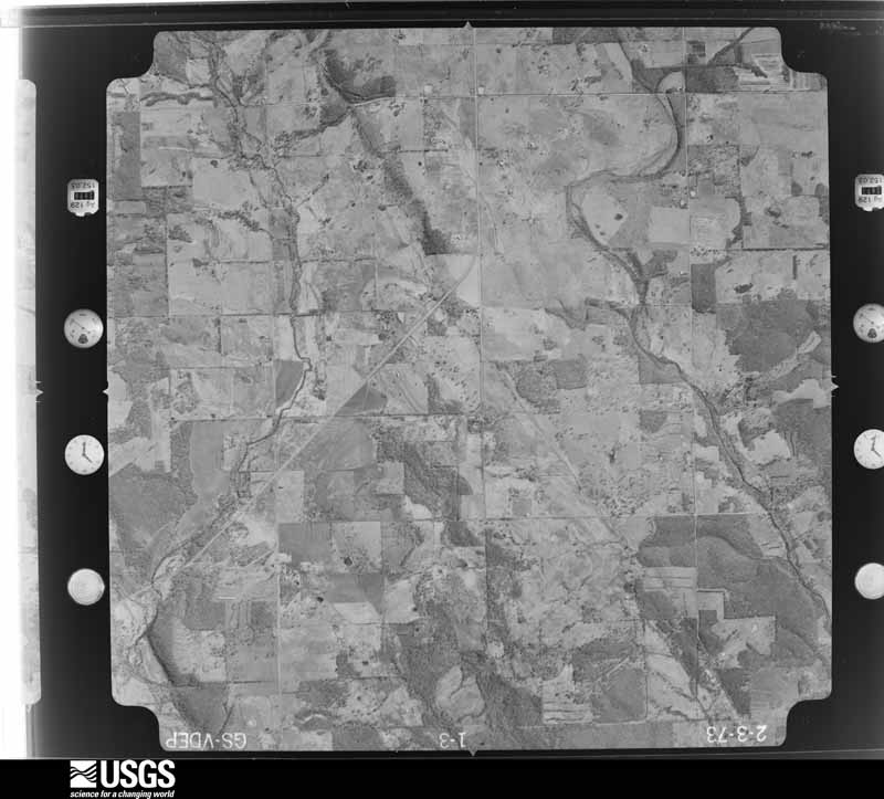
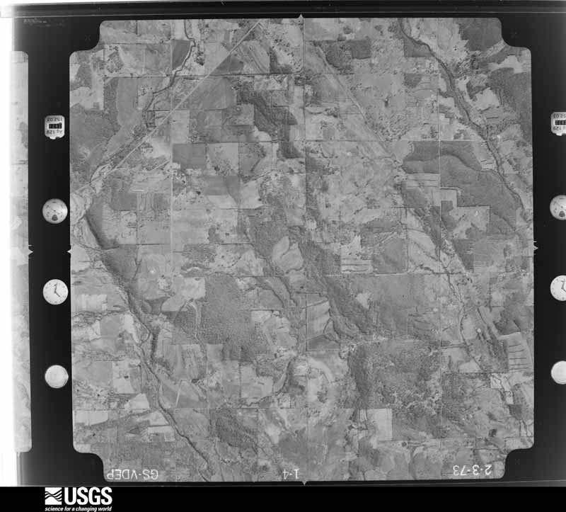
Flown by the U.S. Geological Survey between 1937 and 1989, the Aerial Photo Single Frames collection is the definitive mid-century view of the land: fields, roads and rivers as the camera saw them. The Survey holds 543 frames inside the rectangle that bounds this county; the 19 frames below were taken over the county itself, chosen across the decades of flights (at most four a year from that rectangle), so one flight cannot crowd out the rest. The full set is free to browse and download at EarthExplorer under the dataset Aerial Photo Single Frames.
The thermometers that kept this county's weather, and the gages that measured the flow of its streams, as the federal records hold them. The extremes below are measured values from those records, not estimates.
Who lived here in 1950, one enumeration district at a time, as the Census Bureau described each district. Each row opens its official National Archives result, with Population Schedules and ED Maps available there.
Every wildfire the federal occurrence database records inside this county: 3,934 of them, burning about 142,234 acres. 131 started naturally and 1,627 were recorded as arson. Each settlement page carries the fires within five miles of it.
| Reported cause | Fires |
|---|---|
| Arson/incendiarism | 1627 |
| Missing data/not specified/undetermined | 990 |
| Debris and open burning | 740 |
| Equipment and vehicle use | 167 |
| Natural | 131 |
| Recreation and ceremony | 84 |
| Smoking | 78 |
| Misuse of fire by a minor | 72 |
| Railroad operations and maintenance | 30 |
| Power generation/transmission/distribution | 10 |
| Other causes | 5 |
The five largest, by the area the report gives. Five of them were set deliberately.
| Date | Cause | Size | Reported by | Name on the report |
|---|---|---|---|---|
| 19 March 2001 | Missing data/not specified/undetermined | 4,050 acres | Oklahoma Division of Forestry | LIBERTY FIRE |
| 20 March 2017 | Arson/incendiarism | 3,700 acres | Oklahoma Division of Forestry | not named |
| 20 December 2010 | Arson/incendiarism | 3,200 acres | Oklahoma Division of Forestry | 30613 |
| 22 December 2010 | Missing data/not specified/undetermined | 3,200 acres | Oklahoma Division of Forestry | HUTCHISON RD |
| 13 February 2017 | Arson/incendiarism | 2,500 acres | Oklahoma Division of Forestry | not named |
| 21 March 1995 | Arson/incendiarism | 2,310 acres | Cherokee Nation Tribe | F128 |
| 23 March 2009 | Missing data/not specified/undetermined | 2,000 acres | Oklahoma Division of Forestry | BLACK HOLLOW ROAD |
| 9 March 2009 | Arson/incendiarism | 2,000 acres | Oklahoma Division of Forestry | 30450 |
Every settlement page carries the fires within five miles of it - see the settlement index below.
The NOAA Storm Events Database holds 755 reports for this county, causing 9 deaths, 19 injuries and about $9,994,830 in recorded property damage. Each settlement page carries the reports that name it.
| Kind of event | Reports |
|---|---|
| Thunderstorm Wind | 309 |
| Hail | 275 |
| Flash Flood | 71 |
| Tornado | 52 |
| Flood | 44 |
| Lightning | 4 |
The most serious of them, by death, then injury, then recorded damage. The accounts are quoted exactly as the forecast office filed them.
| When | Event | Place named | Harm | What the report says |
|---|---|---|---|---|
| September 1996 | Flash Flood | Countywide | 4 killed | no account filed |
| June 1999 | Tornado (F3) | Hulbert | 2 killed, 5 hurt, $1,500,000 | A strong tornado, rated an F3, touched down in far western Cherokee County, possibly as a waterspout on Fort Gibson Lake. The tornado moved south onshore and through the rural Amber Hills housing area, crossing OK Hwy 51, and lifting after tracking through much of the Sequoyah State Park.In the Amber Hills and Hammer Hill Road areas, a total of 68 homes sustained some form of damage. Of that, 17 single family dwellings and 13 mobile homes were destroyed. Eight single family dwellings sustained major damage and 11 others had minor damage. One mobile home sustained minor damage. Fourteen other single family dwellings and four other mobile homes were affected. In one of the destroyed mobile homes, an elderly man and woman were inside. The woman was killed immediately, and the man was seriously injured, dying one week later in a hospital of tornado-related complications. This becomes eastern Oklahoma's first killer tornado since the April 1994 Catoosa tornado.Across OK Hwy 51 in Sequoyah State Park, between 400 and 500 trees were lost to the tornado. The carport at the park manager's residence was destroyed, and an RV was turned on its side. Fortunately, most Memorial Day campers had cleared out, therefore there were no injuries in the park. |
| March 2025 | Thunderstorm Wind | Scraper | 1 killed, 1 hurt, $30,000 | Strong thunderstorm wind blew down a tree onto a camper on the east side of the Illinois River. Two occupants of the trailer were trapped. One of the two occupants died from injuries sustained in the event, and the other was rescued by first responders. |
| July 2002 | Lightning | Hulbert | 1 killed, 1 hurt | Lightning struck a 32 year old woman and her 14 year old daughter while they were standing under a tree. They were in Wildwood Park on the shores of Ft. Gibson Lake near Hulbert. Both were taken by Lifeflight helicopter to Hillcrest Medical Center in Tulsa. The daughter fully recovered. The woman died at 530 am CDT the next morning. |
| March 2008 | Flash Flood | Peggs | 1 killed | Heavy rain caused Highway 82 to be flooded at Peggs and several rural roads to be flooded across the northern part of Cherokee County. A woman drove a vehicle into a flooded low water crossing and the vehicle became stranded. A two year old girl was washed downstream and drowned as the mother tried to get her out of the vehicle. |
| November 2018 | Tornado (EF2) | Cookson | 5 hurt, $1,500,000 | This is the second segment of a six segment tornado. This long-track tornado moved into Cherokee County near an inlet of Lake Tenkiller, where boat docks, lake homes, boats, and outbuildings were destroyed, and trees and power poles were snapped. The tornado moved north-northeast along the eastern shores of Lake Tenkiller, passing through Cookson and Cherokee Landing State Park. Numerous homes were damaged or destroyed, numerous boat docks were destroyed, many boats were destroyed, outbuildings were destroyed, many trees and power poles were snapped, and hangars at the airport west of Cookson were destroyed. From Lake Tenkiller, the tornado continued to move north-northeast across less populated areas of southeastern Cherokee County where a few homes were damaged, outbuildings were destroyed, and trees were snapped or uprooted. The tornado moved into Adair County to the east-northeast of Welling. Based on this damage, maximum estimated wind in this segment of the tornado was 115 to 125 mph. |
| July 1996 | Lightning | Tahlequah | 2 hurt | no account filed |
| May 2019 | Tornado (EF2) | Peggs | 1 hurt, $800,000 | This is the first segment of a two-segment tornado. This large tornado developed southwest of the intersection of the N 420 Road and the W 660 Road. It moved northeast snapping and uprooting trees, and destroying outbuildings when it crossed those roads. Significant tree damage occurred as the tornado crossed the W 650 Road and approached Highway 82, where homes and businesses were severely damaged and numerous trees were snapped in Peggs. After moving through Peggs, the tornado continued to move northeast across mainly rural, rugged terrain where significant tree damage was noted for several miles. It crossed the N 495 Road snapping trees, damaging homes, and destroying outbuildings, and then moved into Delaware County. Based on this damage, maximum estimated wind in this segment of the tornado was 110 to 120 mph. |
| May 2016 | Thunderstorm Wind | Qualls | 1 hurt, $250,000 | Strong thunderstorm wind destroyed docks at the Snake Creek Marina. An RV was overturned at the Snake Creek RV park, resulting in an injury. |
| October 1998 | Flash Flood | Countywide | 1 hurt, $149,000 | A family of four had to be rescued when their van started floating near Teresita. One of the rescuers, a member of the Oaks Fire Department, broke his arm when the van unexpectedly started floating away as the rescuers were approaching the vehicle. OK Hwy 80 was closed by flooding between Hulbert and Fort Gibson. In Tahlequah, six streets were closed by high water. Near Peggs, OK Hwy 82 was closed when waters from Blackbird Creek flowed over the road. Five locations along Shilo Road north of Gideon were washed away. Littlefield Bridge north of Peggs was washed away, and another road was washed out just south of Teresita. |
| May 2016 | Thunderstorm Wind | Tahlequah | 1 hurt, $50,000 | Strong thunderstorm wind blew down a tree onto a vehicle and travel trailer at Diamond Head Floats Resort, northeast of Tahlequah. A person was injured by this storm. |
| August 2006 | Thunderstorm Wind | Tahlequah | 1 hurt, $25,000 | Thunderstorm winds estimated at 70 miles an hour blew down several trees. A few of the trees fell on homes. One person was injured. In addition, the metal roof of the sanitation plant was damaged. |
| June 2000 | Flash Flood | Countywide | $500,000 | Heavy thunderstorm rains caused numerous rural roads around the county to be flooded. The flooding caused substantial damage to gravel roads and bridges. One of the major roads which was flooded was Highway 82 north of Tahlequah. Street flooding was also reported in Tahlequah. In addition to the flooding or roads, one mobile home was flooded just east of Tahlequah. |
| April 1995 | Tornado (F2) | NR Qualls to | $500,000 | no account filed |
| March 2004 | Flash Flood | North Portion | $479,000 | Heavy thunderstorm rains caused extensive flash flooding over the northern part of Cherokee County during the evening and overnight hours. Rainfall totals in this area were in the 3 to 4 inch range with a total of 3.99 inches at Kansas in a neighboring part of Delaware County. Numerous roads were flooded and damaged. One stream on which the flooding was particularly bad was Spring Creek. On it a bridge near Teresita was washed out. |
| July 2004 | Flash Flood | Countywide | $277,000 | Heavy thunderstorm rains which totaled 3.08 inches at Tahlequah caused extensive flooding of county roads. The flooding was so severe $277,000 damage was done to infrastructure. |
| March 1984 | Tornado (F1) | not stated | $250,000 | no account filed |
| April 1966 | Tornado (F2) | not stated | $250,000 | no account filed |
| July 1995 | Thunderstorm Wind | Countywide | $200,000 | no account filed |
| October 1995 | Tornado (F0) | Tahlequah | $200,000 | no account filed |
| April 2026 | Tornado (EF1) | Zeb | $150,000 | This tornado developed west of the S 490 Road and south of the W 830 Road. It moved northeast toward Park Hill, crossed Highway 82 and Murrel Road. The tornado uprooted numerous trees, damaged outbuildings, snapped numerous large tree limbs, and blew down power poles. A few trees were uprooted as it moved across Willis Road, then crossed the Illinois River and dissipated after producing more tree damage on the E 785 Road. Based on this damage, maximum estimated wind in the tornado was 95 to 105 mph. |
| April 2016 | Tornado (EF1) | Qualls | $150,000 | This tornado destroyed outbuildings, destroyed a boat dock on Lake Tenkiller, damaged homes, and snapped or uprooted numerous trees. Based on this damage, maximum estimated wind in the tornado was 100 to 110 mph. |
| May 2005 | Flash Flood | Tahlequah | $100,000 | Heavy rains caused flooding in Tahlequah. A few inches of water entered ten business. Four people had to be rescued after their car stalled in a low water crossing. |
| July 2005 | Thunderstorm Wind | Tahlequah | $100,000 | Thunderstorm winds estimated at 80 miles an hour caused extensive damage in a one square mile area in the city of Tahlequah. Twelve homes and one shed were damaged. Numerous trees and large tree limbs were blown down. |
| July 1995 | Thunderstorm Wind | Tahlequah | $100,000 | no account filed |
| June 2023 | Thunderstorm Wind | Hulbert | $91,000 | Thunderstorm wind resulted in at least $91,000 in damage to the utility infrastructure across the county during this severe thunderstorm. |
| November 2024 | Tornado (EF1) | Barber | $80,000 | This is the first segment of a four-segment tornado. The tornado developed southwest of Tenkiller and moved northeast, crossing into Adair County north of Caney Creek and south of the E 813 Road. Numerous trees were snapped or uprooted in its path, and outbuildings were destroyed. Based on this damage, maximum estimated wind in this segment of the tornado was 100 to 110 mph. |
| April 2022 | Hail | Tahlequah | $75,000 | Golf ball size hail damaged homes, businesses, and vehicles. |
| July 2016 | Thunderstorm Wind | Melvin | $75,000 | Strong thunderstorm wind blew down numerous trees and damaged buildings at Sequoyah State Park. Campgrounds around Fort Gibson State Park also sustained considerable tree damage. |
| May 2011 | Tornado (EF1) | Peggs | $70,000 | A tornado destroyed a mobile home, damaged the roof of a permanent home, and snapped or uprooted large trees. Maximum estimated wind in the tornado based on this damage was about 110 mph. |
| May 2025 | Tornado (EF1) | Cookson Tenkiller Ar | $50,000 | This is the first segment of a two segment tornado. The tornado developed south of the 920 Road, where numerous trees were snapped and uprooted, a couple homes were damaged, an outbuilding was destroyed, and power poles were snapped. The tornado moved northeast snapping and uprooting numerous trees and snapping large tree limbs as it moved through rugged terrain into Adair County. It produced a tornadic debris signature from the KSRX WSR-88D. Based on this damage, maximum estimated wind in this segment of the tornado was 105 to 110 mph. |
| June 2025 | Tornado (EF1) | Tahlequah Arpt | $50,000 | This tornado developed north of Burchett Road and west of Bryant Road. It moved east-southeast across the northern portion of Tahlequah, and then crossed Highway 10 and the Illinois River east of town. The tornado snapped and uprooted numerous trees along its path, some of which fell onto homes. This tornado produced a tornadic debris signature from the KINX and KSRX WSR-88Ds. Based on this damage, maximum estimated wind in the tornado was 105 to 110 mph. |
| June 2025 | Tornado (EF1) | Robbins | $50,000 | This is the first segment of a two segment tornado. The tornado developed north of Highway 62 and west of the 742 Road. It moved east through the 580 Road, and then turned more southeast, crossing Highway 62, and then moved into Adair County. The tornado uprooted and snapped numerous trees, some of the trees fell onto homes. Based on this damage, maximum estimated wind in this segment of the tornado was 95 to 105 mph. |
| February 2023 | Thunderstorm Wind | Scraper | $50,000 | Strong thunderstorm wind damaged outbuildings and the roofs of homes, and blew down trees and power lines in a broad swath from Old Toll Gate Road to south of Oaks. |
| January 2020 | Tornado (EF1) | Pettit | $50,000 | This tornado damaged the roof of a permanent home and the roofs of two mobile homes, uprooted a number of trees, and damaged outbuildings. Based on this damage, maximum estimated wind in the tornado was 90 to 100 mph. |
| October 2014 | Hail | Tahlequah | $50,000 | Hail larger than baseball size damaged vehicles and the roofs of homes. |
| August 2012 | Thunderstorm Wind | Qualls | $50,000 | Strong thunderstorm wind flipped a boat dock and overturned three pontoon boats. Several large trees were also blown down. |
| April 2011 | Flood | Eldon | $50,000 | The Baron Fork River near Eldon rose above its flood stage of 18 feet at 5:45 pm CDT on April 25th. The river crested at 28.51 feet at 10:30 pm CDT on the 25th, resulting in record flooding. Cabins at Camp Egan were flooded and significant areas of the campground were also under water. The river fell below flood stage at 5:45 am CDT on the 26th. |
| September 2010 | Flash Flood | Barber | $50,000 | Several county roads were damaged by flooding in the southern portion of the county. |
| May 2009 | Flash Flood | Peggs | $50,000 | Heavy rain caused numerous roads and some homes to be flooded across the northern part of Cherokee County. Some water rescues had to be performed. |
| March 2006 | Tornado (F1) | Peggs | $50,000 | Thunderstorms developed ahead of a dry line late in the afternoon on the 12th. The atmosphere ahead of the dry line was highly unstable and had strong low level wind shear. The combination of the instability and wind shear promoted the development of supercell thunderstorms, which moved east-northeast across northeastern Oklahoma and northwestern Arkansas during the evening. The southernmost supercell produced four tornadoes. The tornadoes were on the ground for a combined 65 miles.The first tornado touched down in northwestern Cherokee County and moved east-northeast producing up to F1 damage in the county as assessed by a survey team. In Cherokee County, several homes received minor damage, outbuildings were destroyed, power lines were downed, and numerous trees were snapped or uprooted.This tornado continued into southern Delaware County about 2 miles south of Leach and eventually produced damage that was rated F3 on the Fujita Scale. |
| June 2005 | Thunderstorm Wind | Tahlequah | $50,000 | Thunderstorm winds estimated at 70 miles an hour damaged a hangar and some planes at the airport near Tahlequah. |
| May 2003 | Flash Flood | Tahlequah | $50,000 | Heavy thunderstorm rains estimated at a rate of over an inch an hour caused severe street flooding. A few streets had to be closed and a car on one street was half submerged. The water on Main Street was so high that it flowed into several businesses. |
| May 2011 | Hail | Peggs | $50,000 | no account filed |
| April 2009 | Hail | Tahlequah | $50,000 | no account filed |
| April 1995 | Tornado (F1) | Peggs | $50,000 | no account filed |
| May 1999 | Tornado (F1) | Hulbert | $35,000 | An F1 tornado cut a swath through Cherokee County to the north and west of Hulbert. One mile north of OK Hwy 51 at a point two miles west of Hulbert, a house trailer was damaged, and trees and power lines were blown down. Three miles north of Hulbert near Blackbird Hill, numerous trees were uprooted, several sheds were destroyed, a mobile home was damaged, and roofs were torn off of several barns. |
| April 2012 | Tornado (EF1) | Standing Rock | $30,000 | A tornado damaged homes and destroyed several sheds and barns. It also snapped hardwood trees. Maximum estimated wind in the tornado based on this damage was 85 to 95 mph. The tornado continued into Adair County, Oklahoma. |
| November 2012 | Thunderstorm Wind | Melvin | $30,000 | Strong thunderstorm wind damaged boat docks on the south end of Fort Gibson Lake, just east of the dam. |
| May 2000 | Thunderstorm Wind | Tahlequah | $30,000 | Thunderstorm winds destroyed a 100 foot by 30 foot storage building, blew down 5 business signs and blew out the windows of 6 cars. |
| May 1999 | Lightning | Tahlequah | $30,000 | Lightning struck a home in Tahlequah, starting a fire and destroying appliances in nearby homes. |
| May 1999 | Thunderstorm Wind | Tahlequah | $30,000 | Numerous trees and tree limbs were blown over throughout Cherokee County, including Tahlequah. Many trees were blown into electrical lines. Strong winds also caused heavy damage to the county's north solid waste transfer station. |
| May 2022 | Hail | Barber | $25,000 | Hen egg size hail damaged homes and vehicles. |
| July 2020 | Hail | Tahlequah | $25,000 | Ping pong ball size hail damaged vehicles and homes. |
| February 2019 | Thunderstorm Wind | Barber | $25,000 | Strong thunderstorm winds uprooted trees, damaged the roof of a home, and destroyed outbuildings. |
| February 2018 | Flood | Tahlequah | $25,000 | A creek flooded cropland and a basement of a home. |
| July 2016 | Thunderstorm Wind | Tahlequah | $25,000 | Strong thunderstorm wind blew down a tree onto home. |
| January 2008 | Tornado (EF0) | Moodys | $25,000 | An NWS survey team determined that a tornado damaged two barns, damaged the roofs of several houses, and uprooted a number of trees. |
| April 2004 | Flash Flood | Countywide | $25,000 | Heavy thunderstorm rains caused flash flooding across Cherokee county. Numerous roads were flooded at one time or another including Highway 62 near the junction of Highway 51. In addition, a structure at Eagle Bluffs Resort was flooded. |
| April 2011 | Hail | Tahlequah | $25,000 | no account filed |
The Survey's mineral resources record lists 35 workings inside this county. 6 still produce and 29 are closed or unrecorded. Each settlement page carries the workings within five miles of it.
| Commodity | Workings |
|---|---|
| Sand and Gravel, Construction | 19 |
| Stone, Crushed/Broken | 11 |
| Clay | 4 |
| Silica | 1 |
The least common of them first, because a county's hundredth gravel pit says nothing its first ten did not.
| Where | Site | Commodity | Status | Recorded |
|---|---|---|---|---|
| Charley Ryals Chert Pit | Silica | Past Producer | ||
| Unknown Shale Pit | Clay | Past Producer | ||
| Unknown Shale Pit | Clay | Past Producer | ||
| Unknown Shale Pit | Clay | Past Producer | ||
| Unknown Shale Pits | Clay | Producer | ||
| Arkhola #1 | Stone, Crushed/Broken | Producer | ||
| Arkhola Roberts Quarry | Stone, Crushed/Broken | Producer | ||
| Arkhola Sand & Gravel Limestone Pit | Stone, Crushed/Broken | Producer | ||
| Arkhola Sand & Gravel Limestone Pit | Stone, Crushed/Broken | Producer | ||
| Unknown Limestone Pit | Stone, Crushed/Broken | Past Producer | ||
| Unknown Limestone Pit | Stone, Crushed/Broken | Past Producer | ||
| Unknown Limestone Pit | Stone, Crushed/Broken | Past Producer | ||
| Unknown Limestone Pit | Stone, Crushed/Broken | Past Producer | ||
| Unknown Limestone Pit | Stone, Crushed/Broken | Past Producer | ||
| Unknown Limestone Pit | Stone, Crushed/Broken | Past Producer | ||
| Unknown Limestone Pit | Stone, Crushed/Broken | Past Producer | ||
| Unknown Gravel Pit | Sand and Gravel, Construction | Past Producer | ||
| Unknown Gravel Pit | Sand and Gravel, Construction | Past Producer | ||
| Unknown Gravel Pit | Sand and Gravel, Construction | Past Producer | ||
| Unknown Gravel Pit | Sand and Gravel, Construction | Past Producer | ||
| Unknown Gravel Pit | Sand and Gravel, Construction | Past Producer | ||
| Unknown Gravel Pit | Sand and Gravel, Construction | Past Producer | ||
| Unknown Gravel Pit | Sand and Gravel, Construction | Past Producer | ||
| Unknown Gravel Pit | Sand and Gravel, Construction | Past Producer | ||
| Unknown Gravel Pit | Sand and Gravel, Construction | Past Producer | ||
| Unknown Gravel Pit | Sand and Gravel, Construction | Past Producer | ||
| Unknown Gravel Pit | Sand and Gravel, Construction | Past Producer | ||
| Unknown Gravel Pit | Sand and Gravel, Construction | Past Producer | ||
| Unknown Gravel Pit | Sand and Gravel, Construction | Past Producer | ||
| Unknown Gravel Pit | Sand and Gravel, Construction | Producer | ||
| Unknown Gravel Pits | Sand and Gravel, Construction | Past Producer | ||
| Unknown Gravel Pits | Sand and Gravel, Construction | Past Producer | ||
| Unknown Gravel Pits | Sand and Gravel, Construction | Past Producer | ||
| Unknown Gravel Pits | Sand and Gravel, Construction | Past Producer | ||
| Unknown Gravel Pits | Sand and Gravel, Construction | Past Producer |
Named settlements recorded in the Geographic Names Information System, each with the topographic sheets covering it. Villages, hamlets and abandoned places alike. Each is shown with the nearest named watercourse or landform and the survey quadrangle it falls on. The 2 places that were also surveyed for fire insurance come first, with the number of atlases and photographs held for them.
South Cherokee census division · 74464 · On Goodman Branch · Park Hill quadrangle
18 sheets, 1898 to 1978
Fire insurance: 2 atlases
Tahlequah census division · 74464 · On Ross Branch · Tahlequah quadrangle
19 sheets, 1898 to 1978
Fire insurance: 9 atlases
East Cherokee census division · 74471 · On Caney Creek · Tailholt quadrangle
18 sheets, 1898 to 1978
East Cherokee census division · 74464 · Near Eldon Mountain · Proctor quadrangle
18 sheets, 1898 to 1978
East Cherokee census division · 74471 · On Caney Creek · Park Hill quadrangle
18 sheets, 1898 to 1978
South Cherokee census division · 74451 · Near Mahaney Mountain · Park Hill quadrangle
18 sheets, 1898 to 1978
East Cherokee census division · 74427 · On Sixshooter Branch · Cookson quadrangle
19 sheets, 1898 to 1978
East Cherokee census division · 74451 · Near Hopper Flat · Bunch quadrangle
17 sheets, 1898 to 1978
East Cherokee census division · 74464 · On Eldon Mountain · Proctor quadrangle
18 sheets, 1898 to 1978
Hulbert census division · 74441 · Near Hinton Hollow · Hulbert quadrangle
20 sheets, 1901 to 1978
East Cherokee census division · 74457 · Near Telamay Hollow · Moodys quadrangle
18 sheets, 1899 to 1979
East Cherokee census division · 74471 · Near Sugar Mountain · Park Hill quadrangle
18 sheets, 1898 to 1978
Tahlequah census division · 74464 · Near Keener Knob · Thompson Corner quadrangle
20 sheets, 1901 to 1978
North Cherokee census division · 74464 · On Blackbird Creek · Peggs quadrangle
15 sheets, 1896 to 1985
Tahlequah census division · 74464 · On Goodman Branch · Park Hill quadrangle
18 sheets, 1898 to 1978
Hulbert census division · 74441 · Near Waford Mountain · Hulbert quadrangle
20 sheets, 1901 to 1978
Tahlequah census division · 74464 · On Tahlequah Creek · Park Hill quadrangle
18 sheets, 1898 to 1978
Tahlequah census division · 74464 · Near Bob Warren Mountain · Zeb quadrangle
20 sheets, 1901 to 1978
Hulbert census division · 74441 · Near Cedar Hollow · Fort Gibson Dam quadrangle
20 sheets, 1901 to 1978
North Cherokee census division · 74441 · Near Dry Hollow · Peggs quadrangle
15 sheets, 1896 to 1985
South Cherokee census division · 74451 · On Pettit Creek · Park Hill quadrangle
18 sheets, 1898 to 1978
South Cherokee census division · 74451 · On Pettit Creek · Park Hill quadrangle
18 sheets, 1898 to 1978
South Cherokee census division · 74451 · Near Sellers Mountain · Qualls quadrangle
19 sheets, 1901 to 1978
North Cherokee census division · 74464 · Near Kirk Springs Hollow · Chewey quadrangle
18 sheets, 1899 to 1979
Hulbert census division · 74464 · Near Keener Knob · Thompson Corner quadrangle
20 sheets, 1901 to 1978
East Cherokee census division · 74471 · Near Sugar Mountain · Tailholt quadrangle
18 sheets, 1898 to 1978
East Cherokee census division · 74471 · Near Negro Jake Hollow · Tailholt quadrangle
18 sheets, 1898 to 1978
North Cherokee census division · 74364 · On Double Spring Creek · Moodys quadrangle
18 sheets, 1899 to 1979
Tahlequah census division · 74464 · Near Brown Mountain · Thompson Corner quadrangle
20 sheets, 1901 to 1978
South Cherokee census division · 74464 · On Goodman Branch · Park Hill quadrangle
18 sheets, 1898 to 1978
East Cherokee census division · 74471 · Near Minning Camp Hollow · Tahlequah quadrangle
19 sheets, 1898 to 1978
South Cherokee census division · 74451 · Near Sellers Mountain · Qualls quadrangle
19 sheets, 1901 to 1978
South Cherokee census division · 74451 · Near Big Hollow · Park Hill quadrangle
18 sheets, 1898 to 1978
Tahlequah census division · 74464 · On Bobtail Creek · Zeb quadrangle
20 sheets, 1901 to 1978
Tahlequah census division · 74464 · Near Bob Warren Mountain · Zeb quadrangle
20 sheets, 1901 to 1978
The vanished settlements of Cherokee County: the places named above that are no longer on the map.
19 topographic sheets and 9 fire insurance atlases, 1894 to 1949
The complete index, with nothing left out. Each of these is a separate record with its own page: a federal survey report, or the case file that argued a property on to the National Register. Both are public domain and reproduced word for word.
The vanished settlements of Cherokee County, the places these records name that are no longer on the map.