 Block
From the record
12 National Register listings published here.
Sources: the National Register database, National Park Service
64 topographic sheets and 13 fire insurance atlases across 4 places.
12 National Register listings published here.
Sources: the National Register database, National Park Service
Every property in this county listed on the National Register of Historic Places, with the year it was listed and the federal nomination document.
| Photograph | Property | Type | Listed | Reference |
|---|---|---|---|---|
| Chief's House | building | 1971 | 71000660 | |
| Everidge Cabin and Cemetery | building | 1982 | 82003674 | |
 | Hugo Armory | building | 1988 | 88001378 |
 | Hugo Frisco Railroad Depot | building | 1980 | 80003259 |
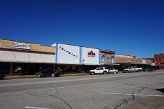 | Hugo Historic District | district | 1980 | 80003260 |
| Hugo Public Library | building | 1988 | 88001379 | |
| Speer School | building | 1988 | 88001380 | |
| Spencer Academy | site | 1975 | 75001562 | |
| Spencer Academy | site | 1975 | 75001562 | |
| Spencerville School Campus | building | 1988 | 88001381 | |
| Spencerville School Campus | building | 1988 | 88001381 | |
| Willie W. Wilson House | building | 1982 | 82003673 |
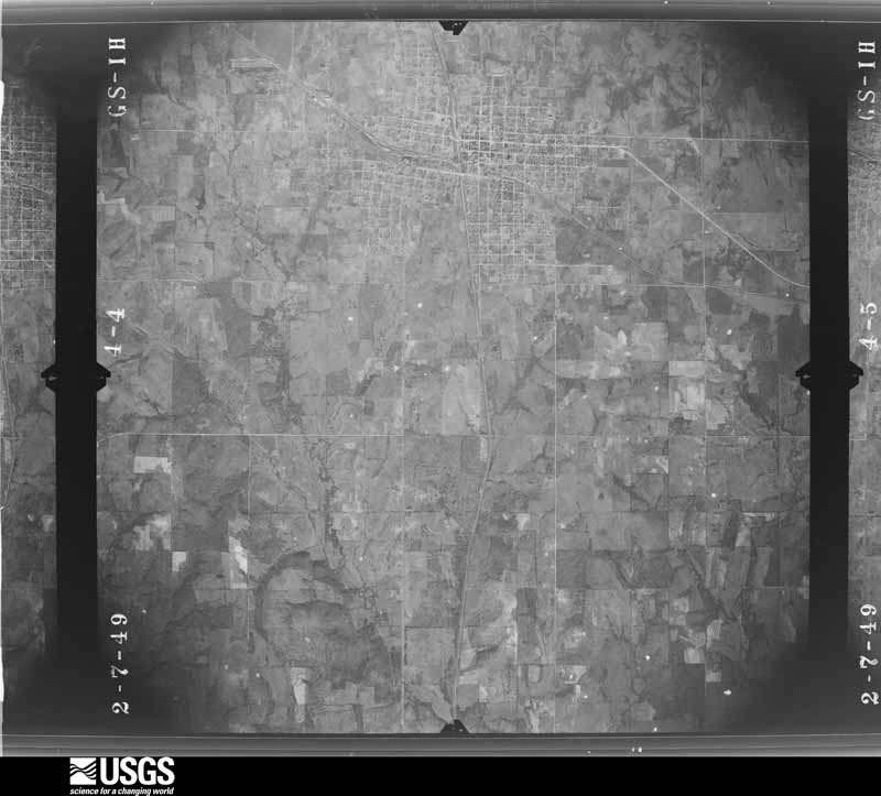
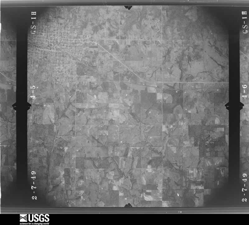
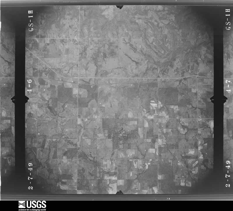
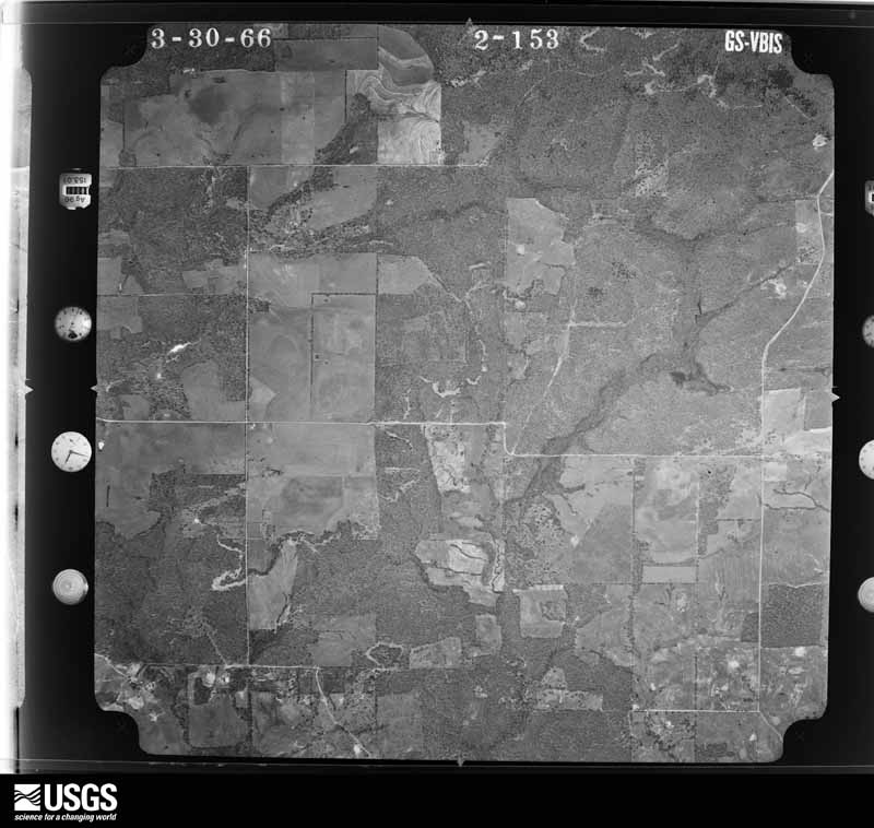
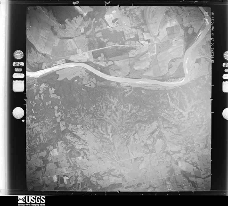
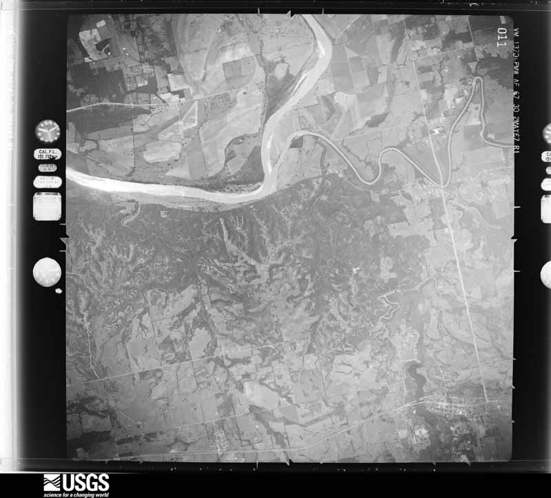
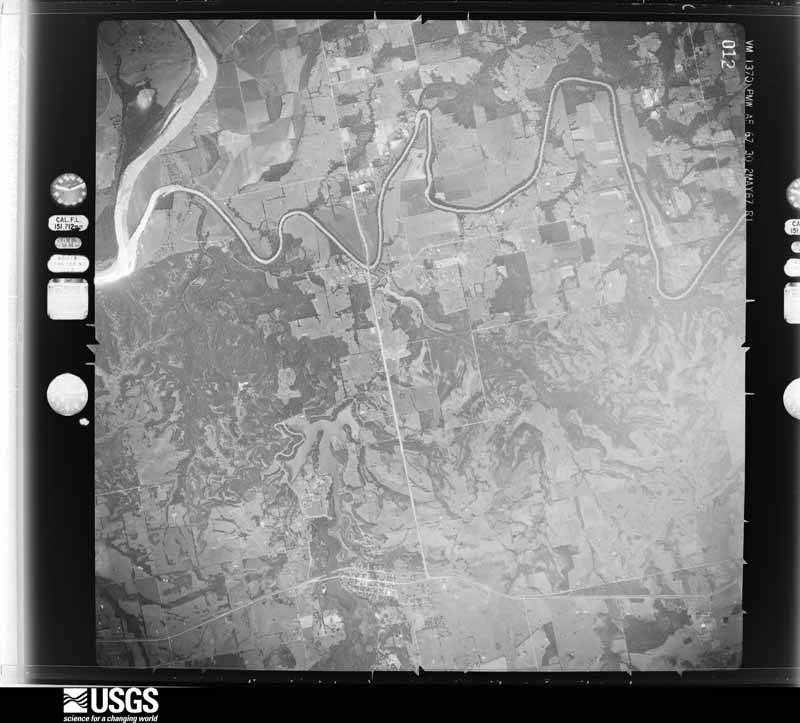
Flown by the U.S. Geological Survey between 1937 and 1989, the Aerial Photo Single Frames collection is the definitive mid-century view of the land: fields, roads and rivers as the camera saw them. The Survey holds 946 frames inside the rectangle that bounds this county; the 48 frames below were taken over the county itself, chosen across the decades of flights (at most four a year from that rectangle), so one flight cannot crowd out the rest. The full set is free to browse and download at EarthExplorer under the dataset Aerial Photo Single Frames.
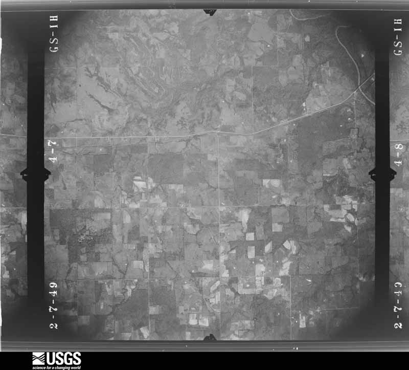
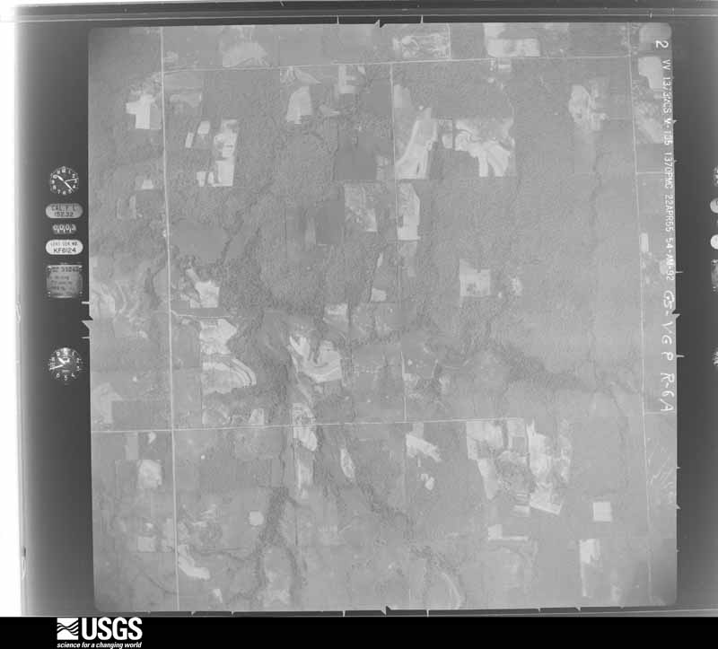
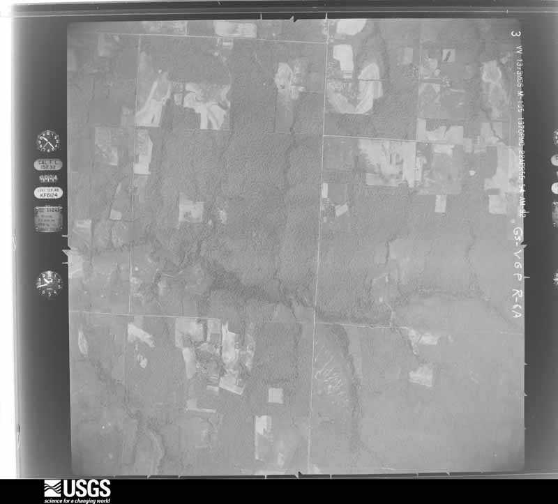
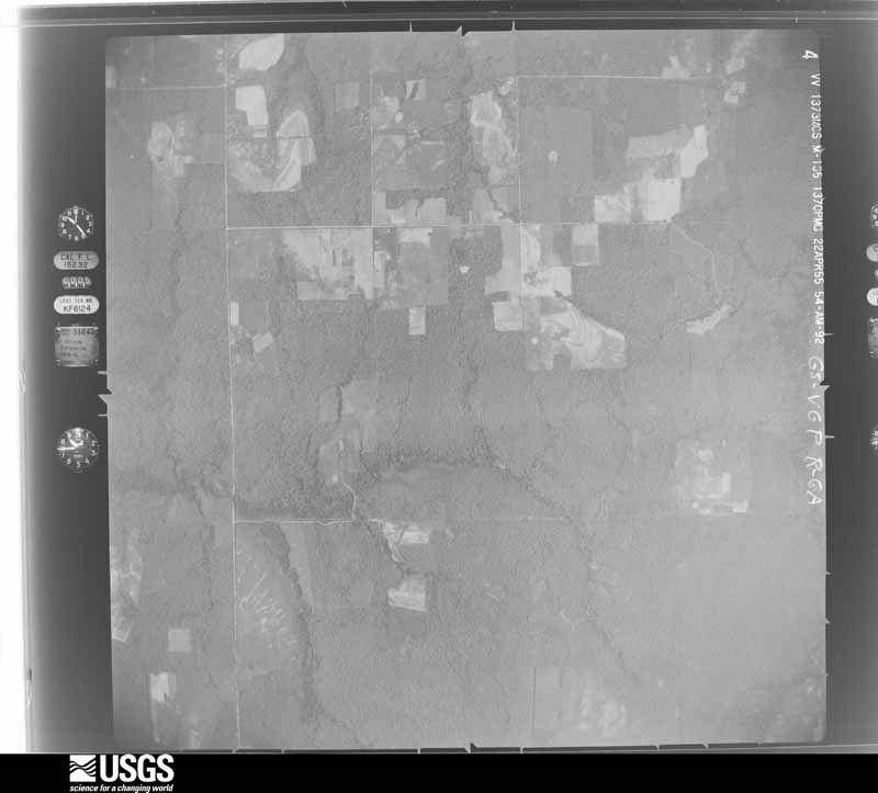
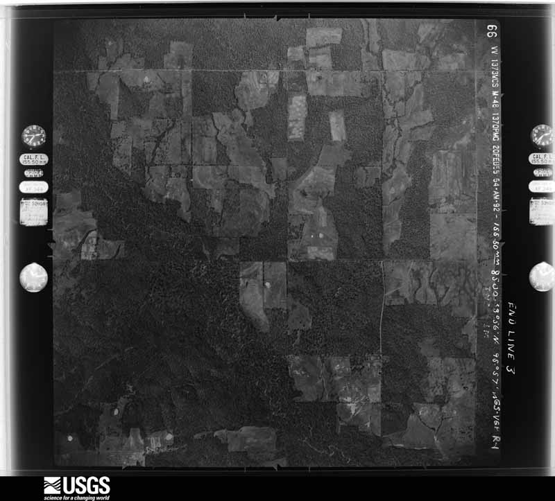
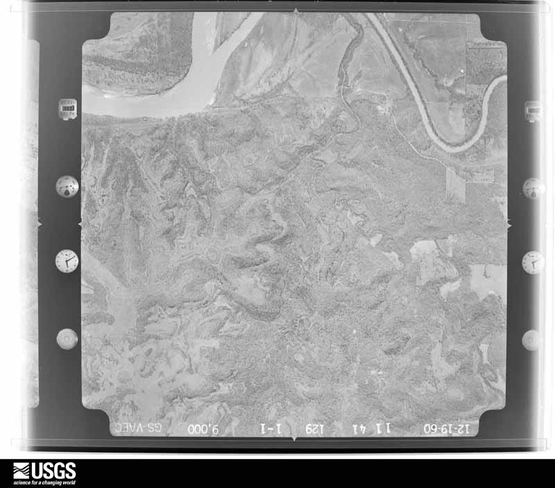
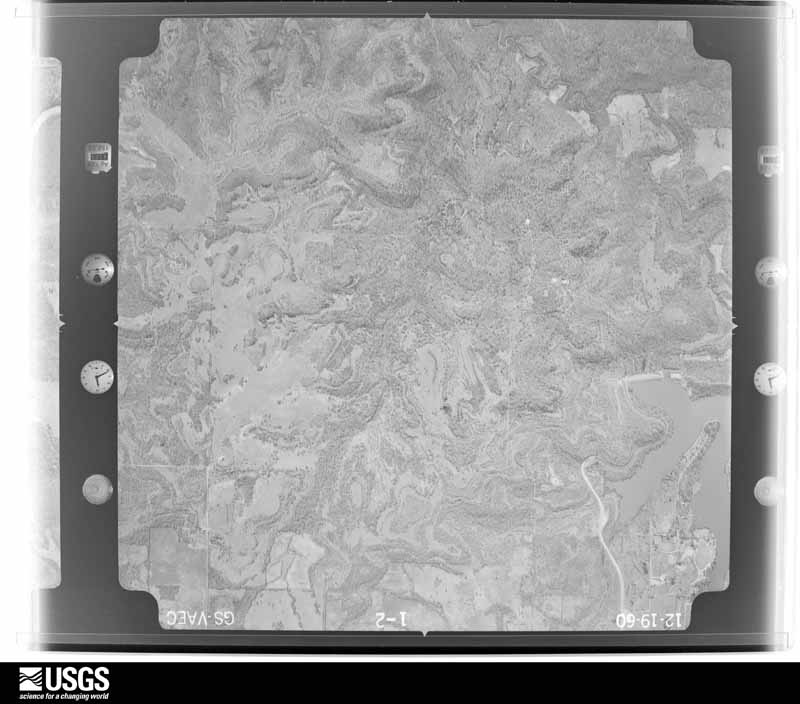
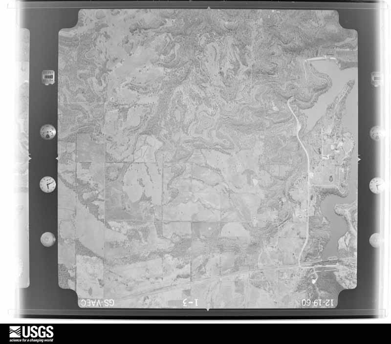
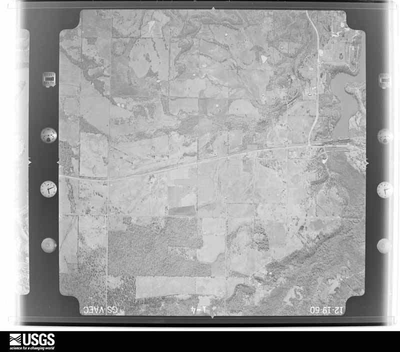
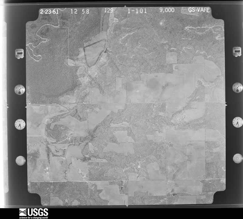
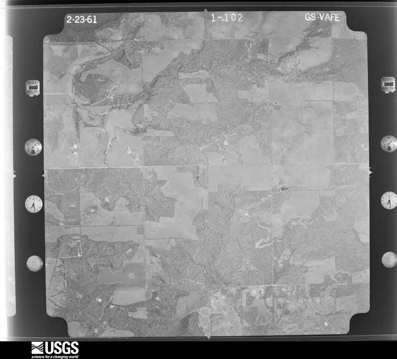
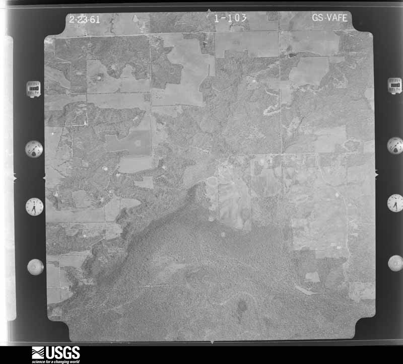
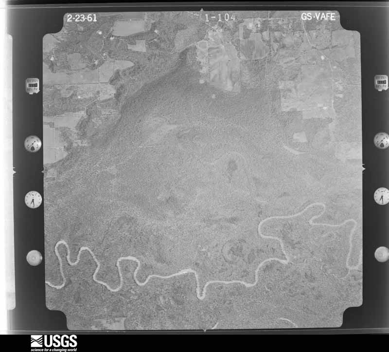
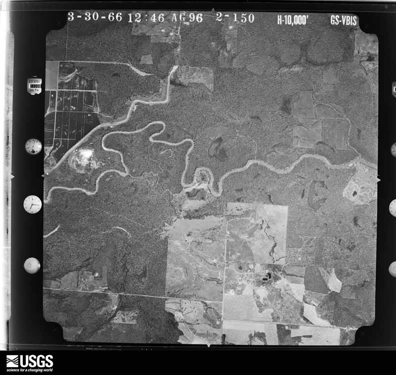
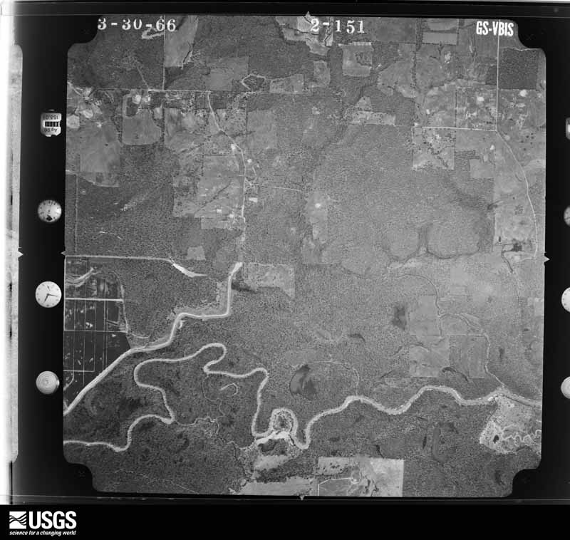
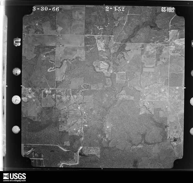
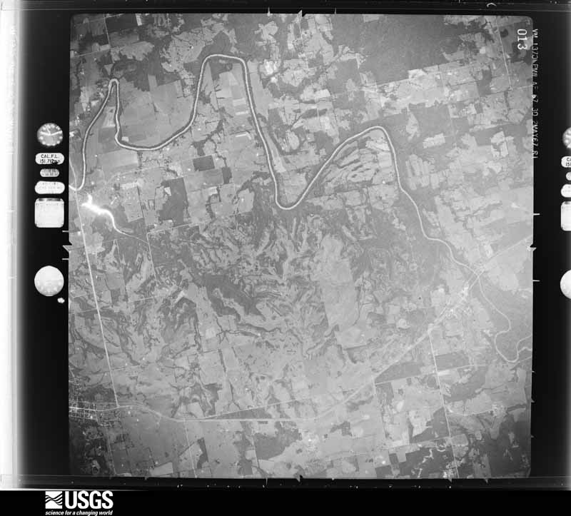
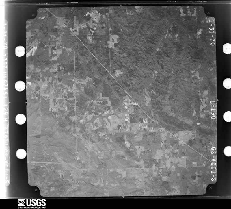
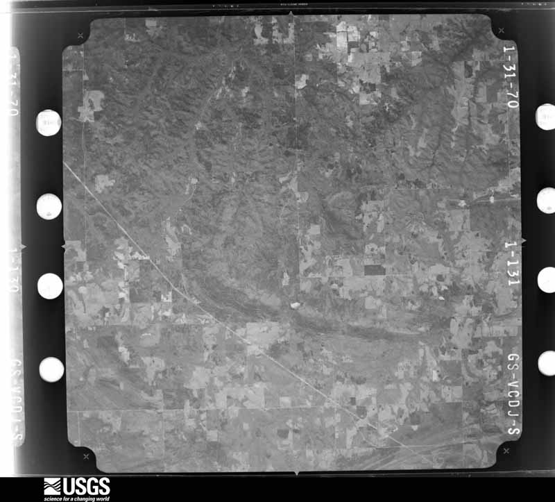
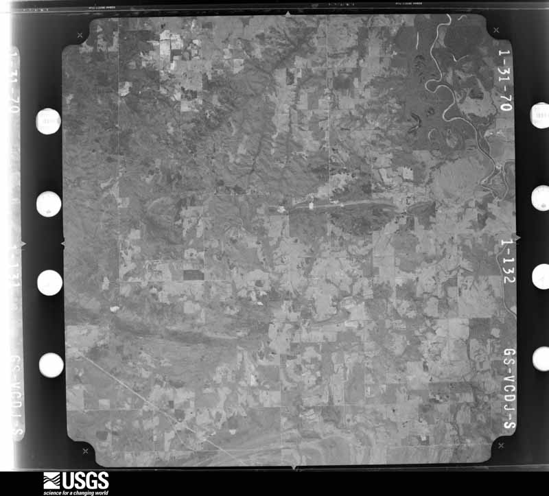

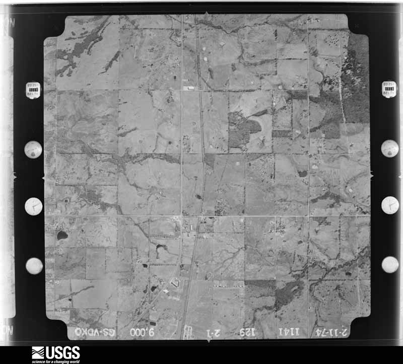
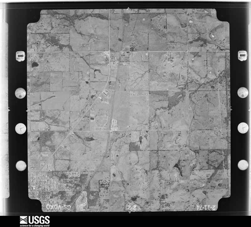
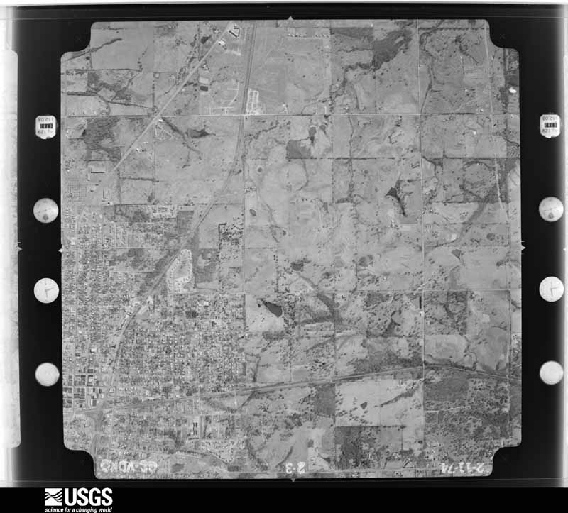
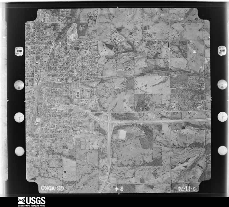
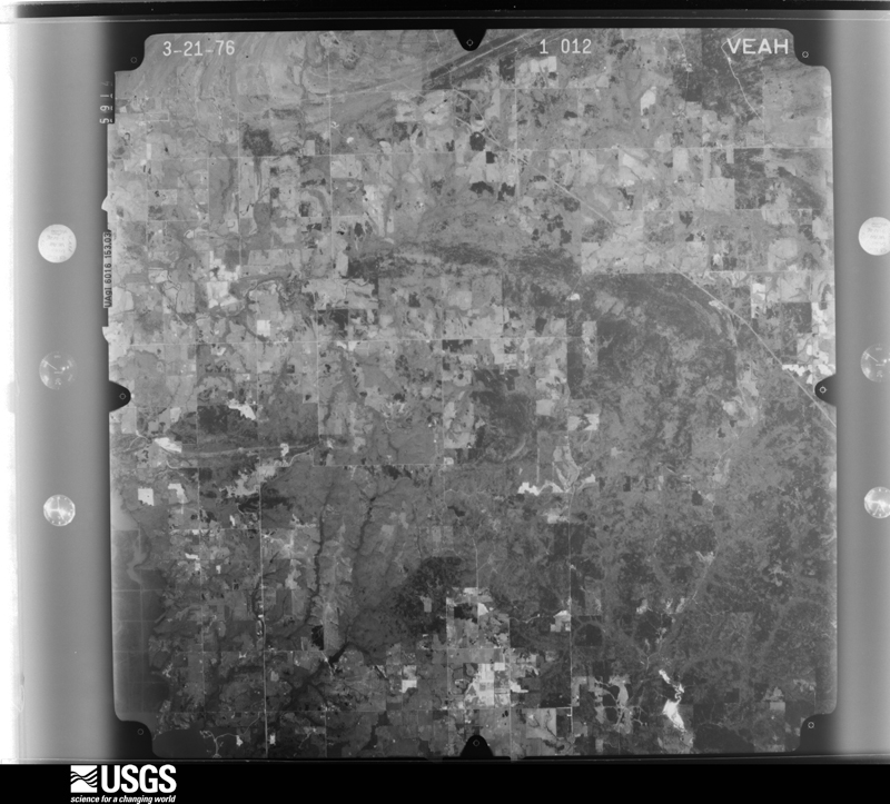
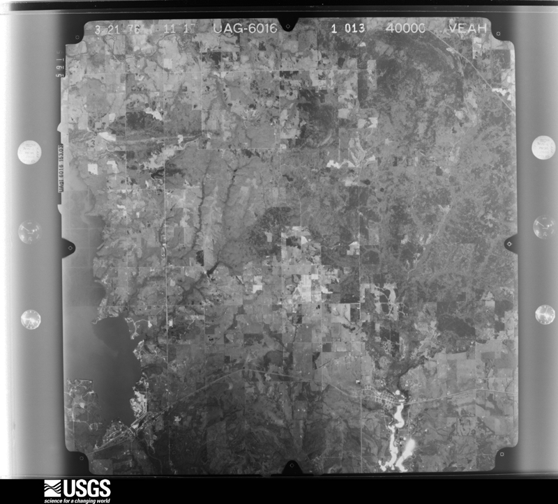
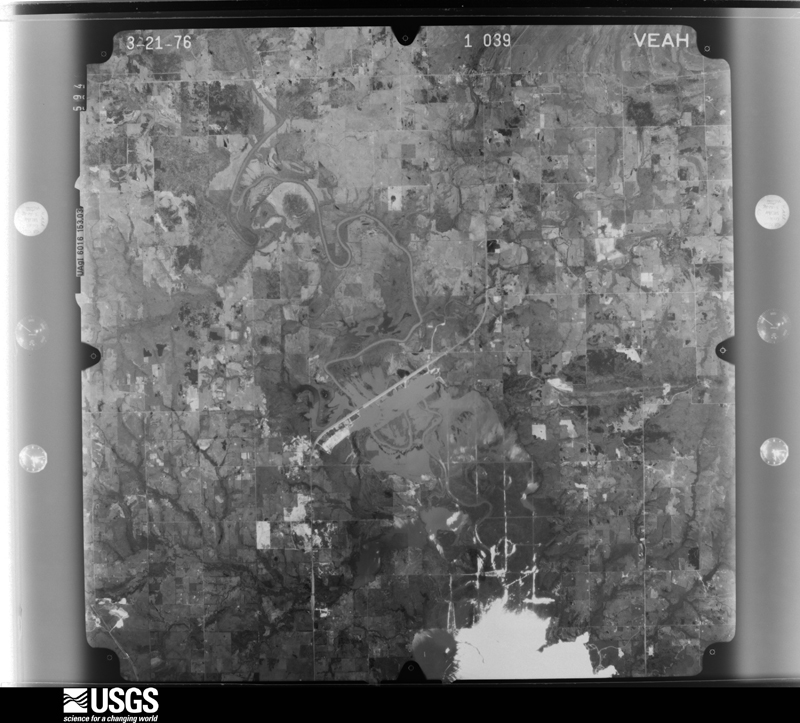

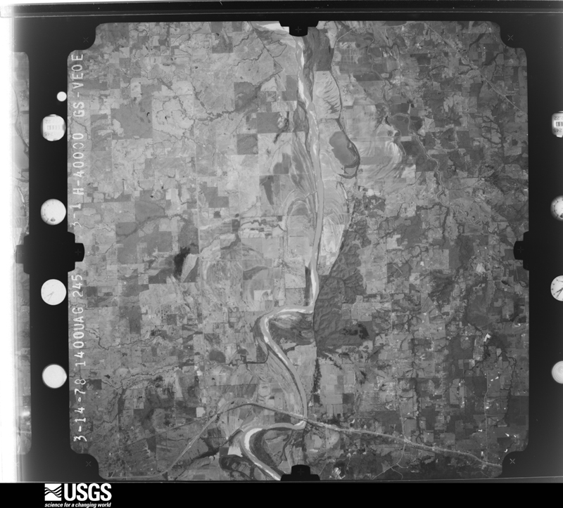



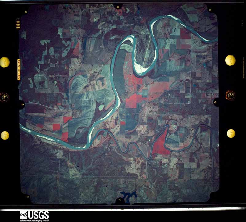



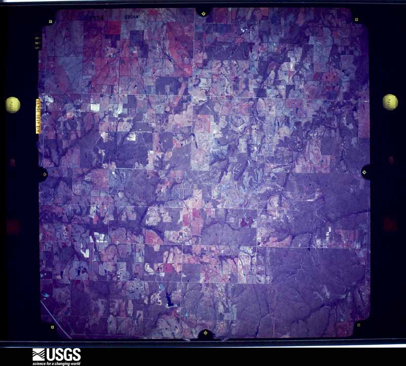

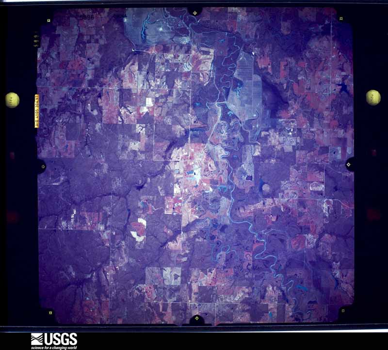

The thermometers that kept this county's weather, and the gages that measured the flow of its streams, as the federal records hold them. The extremes below are measured values from those records, not estimates.
Who lived here in 1950, one enumeration district at a time, as the Census Bureau described each district. Each row opens its official National Archives result, with Population Schedules and ED Maps available there.
Every wildfire the federal occurrence database records inside this county: 334 of them, burning about 13,045 acres. 28 started naturally and 142 were recorded as arson. Each settlement page carries the fires within five miles of it.
| Reported cause | Fires |
|---|---|
| Arson/incendiarism | 142 |
| Missing data/not specified/undetermined | 66 |
| Debris and open burning | 56 |
| Natural | 28 |
| Equipment and vehicle use | 20 |
| Recreation and ceremony | 7 |
| Railroad operations and maintenance | 6 |
| Misuse of fire by a minor | 6 |
| Smoking | 3 |
The five largest, by the area the report gives. None of them was recorded as arson.
| Date | Cause | Size | Reported by | Name on the report |
|---|---|---|---|---|
| 27 December 2005 | Missing data/not specified/undetermined | 1,602 acres | Oklahoma Division of Forestry | ALLEN |
| 13 March 2014 | Missing data/not specified/undetermined | 640 acres | Oklahoma Division of Forestry | LONG CREEK |
| 9 April 2006 | Missing data/not specified/undetermined | 640 acres | Talihina Agency | NORTHFORK |
| 9 April 2006 | Missing data/not specified/undetermined | 500 acres | Talihina Agency | LICK |
| 18 February 1999 | Debris and open burning | 480 acres | Oklahoma Division of Forestry | not named |
| 13 February 1996 | Missing data/not specified/undetermined | 480 acres | Oklahoma Division of Forestry | not named |
| 28 December 2005 | Debris and open burning | 400 acres | Texas A & M Forest Service | LINDEN - 628 |
| 9 April 2006 | Missing data/not specified/undetermined | 400 acres | Talihina Agency | SAND BLUFF |
Every settlement page carries the fires within five miles of it - see the settlement index below.
The NOAA Storm Events Database holds 423 reports for this county, causing 1 death, 43 injuries and about $9,873,300 in recorded property damage. Each settlement page carries the reports that name it.
| Kind of event | Reports |
|---|---|
| Hail | 199 |
| Thunderstorm Wind | 159 |
| Tornado | 30 |
| Flash Flood | 25 |
| Flood | 6 |
| Lightning | 4 |
The most serious of them, by death, then injury, then recorded damage. The accounts are quoted exactly as the forecast office filed them.
| When | Event | Place named | Harm | What the report says |
|---|---|---|---|---|
| May 2015 | Flood | Fallon | 1 killed | A man drove into flood waters on Ballpark Road north of Hugo during the evening of May 21st. The vehicle became stranded. The driver was able to escape the flood water but then went back into the water to gather personal items. He reportedly stepped into a hole, went under water, and was swept away. The man drown and was recovered on May 22nd. |
| April 1982 | Tornado (F5) | not stated | 25 hurt, $2,500,000 | no account filed |
| April 1954 | Tornado (F3) | not stated | 12 hurt, $250,000 | no account filed |
| May 1960 | Tornado (F4) | not stated | 3 hurt, $250,000 | no account filed |
| May 2016 | Tornado (EF3) | Boswell Ammons Arpt | 2 hurt, $3,000,000 | This is the second segment of a two segment tornado that began at 624 pm CDT in Bryan County, Oklahoma. The tornado strengthened and widened rapidly after developing southeast of Bennington. It was about 2500 yards wide and was producing EF-2 damage to trees by the time it reached the Choctaw County border at around 627 pm CDT. ||In Choctaw County, the tornado continued to widen as it moved northeast, producing a damage path of about 1.8 miles across, to the southwest of Boswell. The tornado made a turn to the east at the N4000 Road and maintained an eastward movement until dissipating before reaching the N4090 Road. The tornado destroyed at least three mobile homes. Two injuries occurred in one of the mobile homes, one of which was a critical injury. Numerous homes were damaged by this tornado, with the worst damage including major loss of the roof structure and collapse of a few exterior walls. Numerous outbuildings were also destroyed. A metal, high-voltage transmission tower/truss was destroyed, and numerous power poles were snapped. Many trees were snapped or uprooted in the path. Trees in several areas were reduced to shortened trunks with short stumps where large limbs previously existed. Based on this damage, maximum estimated wind in this segment of the tornado was 140 to 150 mph. |
| November 2022 | Tornado (EF2) | Ord | 1 hurt, $900,000 | This tornado developed in Lamar County, Texas, and produced EF-4 damage northwest of Paris, and then crossed the Red River into Choctaw County. Extensive tree damage occurred just north of the Red River with numerous hardwood trees snapped from E2150 Road to E2140 Road. The tornado moved northeast, becoming about a mile wide several miles south of Sawyer, and continued to produce a very wide damage swath until a couple miles north of Highway 70. Throughout the path, numerous trees were snapped and uprooted, numerous power poles were snapped, numerous outbuildings were destroyed, and 38 homes were damaged, at least sixteen of which were severely damaged. The tornado dissipated between the N 4340 Road and N 4360 Road, and south of the E1980 Road. Based on the damage in Choctaw County, maximum estimated wind in this segment of the tornado was 110 to 120 mph. |
| June 2008 | Thunderstorm Wind | Ft Towson | $480,000 | Thunderstorm wind gusts measured to at least 75 mph damaged a power plant near Fort Towson. |
| May 2001 | Thunderstorm Wind | Hugo | $325,000 | Thunderstorm wind estimated at 80 miles an hour produced a large amount of damage in the Hugo area. Several businesses including a radio station, lumber company, sale barn, veterinary clinic and a feed lot received damage. Three homes had large trees fall on them. Numerous power poles and power lines were blown down. In addition several trees and large tree limbs blocked roads. |
| May 2016 | Tornado (EF1) | Goodland | $250,000 | This tornado developed west of Hugo and moved eastward across town. Numerous homes and businesses were damaged, storage buildings were destroyed, trees were uprooted, signs were blown down, and power poles were snapped. Based on this damage, maximum estimated wind in the tornado was 95 to 105 mph. |
| April 1982 | Tornado (F3) | not stated | $250,000 | no account filed |
| May 1960 | Tornado (F4) | not stated | $250,000 | no account filed |
| April 2026 | Tornado (EF1) | Speer | $150,000 | This tornado developed west of the 4240 Road, near Pinekke Road. It moved east-southeast snapping large tree limbs and uprooting small trees. The tornado crossed Highway 93 on the northern banks of Lake Hugo, where some trees were uprooted and large tree limbs were snapped. Numerous trees were uprooted and a few were snapped south of Apple, and a home was damaged. It continued to move east-southeast across the E2000 Road, and then crossed Highway 147 before dissipating over rugged terrain. Based on this damage, maximum estimated wind in the tornado was 95 to 105 mph. |
| March 2002 | Flash Flood | Countywide | $100,000 | Heavy rain fell on and off across Choctaw county from the late evening hours on the 18th to the evening hours of the 19th. 4.90 inches of rain was reported near Hugo during this time frame. The heavy rainfall resulted in considerable flash flooding and flooding across the county. The first reports of flooding came around 1005 am. Highway 70 eight miles west of Hugo was reported to be covered by water and several county roads were reported to be barricaded due to high water. Later that afternoon Highway 70 was also under water west of Soper and near Boswell. Highway 109 was also under water at several locations between Ord and Froggville. The flooding was so severe that many county roads were washed out and a few bridges were damaged. |
| June 2023 | Thunderstorm Wind | Hugo | $75,000 | Thunderstorm wind resulted in at least $75,000 in debris removal and damage to the utility infrastructure across the county during this severe thunderstorm. |
| September 2005 | Lightning | Ft Towson | $75,000 | A lightning strike caused a fire at a residence. The fire destroyed the home. |
| August 1998 | Thunderstorm Wind | Soper | $70,000 | Thunderstorm winds nearly destroyed one house. A shop was severely damaged, and other houses in the area suffered roof damage. Some trees were also blown down. There were fortunately no injuries. |
| April 2026 | Hail | Boswell | $50,000 | Golf ball size hail damaged homes and vehicles. |
| December 2015 | Flood | Unger | $50,000 | Portions of Highway 70 between Boswell and Soper were reduced to one lane for repairs to damage from extensive flooding. |
| July 2012 | Thunderstorm Wind | Ft Towson | $50,000 | Strong thunderstorm wind blew down large trees, two of which fell onto homes near Raymond Gary State Park. |
| April 1995 | Thunderstorm Wind | Hugo | $50,000 | Severe thunderstorms developed and moved eastward across central and southern Oklahoma during the morning, producing damaging winds across much of the area and hail as large as golf balls at SE 29th and Luther Road in Oklahoma City. In Cushing in Payne County winds up to 63 mph took part of the roof off a metal building, blew a tree down, and blew windshields out of cars. In Agra in Lincoln County a barn was destroyed. Severe thunderstorm winds in Hugo in Choctaw County downed numerous trees and power poles, landing on several mobile homes and barns. Roofs were also blown off a shed and a mobile home. The storms were electrically very active, with three reported cases of lightning damage. In Norman in Cleveland County lightning set fire to a duplex around 0900 CST, causing about $45,000 in damage. Also in Norman about an hour later lightning struck and destroyed a house chimney. In Seminole County southeast of Wolf an oil tank battery was hit by lightning and set on fire early in the afternoon. |
| June 1998 | Thunderstorm Wind | Boswell | $45,000 | A large and powerful severe thunderstorm moved across Choctaw County from west to east on the evening of June 4. This storm produced the radar signature of a large bow echo and was a prolific wind producer. The worst part of the storm moved eastward along US Hwy 70, downing numerous trees and power lines countywide. While the storm produced damage countywide, the worst-hit areas of Choctaw County were near Fort Towson. This storm produced widespread wind damage from Bryan County east to the Arkansas border. Specific reports from Choctaw County follow:- The Choctaw Electric Cooperative reported outages at each of its 13 substations due to broken power poles and trees which toppled onto transmission lines. Nearly 7,500 CEC customers in eastern Choctaw and western McCurtain Counties were without electricity after the storm. CEC replaced 20 broken poles, eight transformers, and one mile of line.- Public Service Company of Oklahoma reported 1,500 customers without electricity in the Fort Towson area following the storm. Hugo and Swink also had scattered power outages according to PSO.- Around 820 PM CDT, a large tree was blown down along US Hwy 70 one mile west of Boswell.- Around 842 PM CDT, spotters estimated wind gusts of 60 to 70 miles an hour in Hugo. These winds uprooted numerous trees and power lines which blocked several roadways around town. A newspaper clipping from the Hugo Daily News showed a picture of a very large uprooted tree that barely missed falling onto two homes on Clayton Street.- Around 845 PM CDT, a large tree was blown ont US Hwy 70 one mile east of Hugo, blocking the roadway.- Spotters reported tree damage between Hugo and Sawyer around 849 PM CDT.- The Oklahoma mesonet site 2 miles northwest of Hugo measured a 53 mph gust between 845 and 900 PM CDT.- Seven large trees were blown down in Ft. Towson's Hopson Park. Large branches were snapped off of trees all over town, blocking streets and falling on vehicles. At least one falling tree caused considerable damage to a car (pictured in the Hugo Daily News).- A barn was flattened near Fort Towson (pictured in the Hugo Daily News). |
| March 2023 | Hail | Hugo | $40,000 | Half dollar size hail damage vehicles and homes. |
| May 2023 | Hail | Boswell | $30,000 | Golf ball size hail damaged homes and vehicles. |
| May 2023 | Hail | Unger | $25,000 | Golf ball size hail damaged vehicles and homes. |
| May 2020 | Thunderstorm Wind | Speer | $25,000 | Strong thunderstorm wind destroyed a barn near Speer. |
| April 1998 | Thunderstorm Wind | Boswell | $25,000 | Thunderstorm winds caused a tree to fall on a mobile home and a vehicle parked near the mobile home in Boswell. The Dodson Feed Store in Boswell had its roof torn away by the high winds. Countywide, the winds knocked down numerous trees and caused power outages as the thunderstorms moved to the east at 45 miles an hour. |
| February 2013 | Hail | Ft Towson | $25,000 | no account filed |
| February 2009 | Hail | Hugo | $25,000 | no account filed |
| November 1983 | Tornado (F2) | not stated | $25,000 | no account filed |
| April 1981 | Tornado (F1) | not stated | $25,000 | no account filed |
| May 1961 | Tornado (F3) | not stated | $25,000 | no account filed |
| April 1957 | Tornado (F1) | not stated | $25,000 | no account filed |
| May 2021 | Hail | New Oberlin | $20,000 | Baseball size hail damaged vehicles. |
| May 2021 | Hail | Bluff | $20,000 | Golf ball size hail damaged vehicles and homes. |
| May 2020 | Thunderstorm Wind | Gay | $20,000 | Strong thunderstorm wind destroyed a barn southwest of Gay. |
| July 2013 | Thunderstorm Wind | Hugo | $20,000 | Strong thunderstorm wind blew down trees and power lines and snapped numerous limbs. A few structures had their roofs damaged by the wind. |
| April 2007 | Thunderstorm Wind | Hugo | $20,000 | Thunderstorm winds estimated at 70 miles an hour blew trees down and destroyed a barn and shop building. |
| March 2000 | Thunderstorm Wind | Hugo | $20,000 | Thunderstorm winds blew down a lamppost and toppled a brick wall of a downtown business. |
| March 2000 | Lightning | Boswell | $20,000 | Lightning struck a house and interacted with the electrical wiring to cause a fire that destroyed the house's roof and caused structural damage. |
| May 2021 | Hail | Forney | $15,000 | Golf ball size hail damaged vehicles and homes. |
| August 1999 | Thunderstorm Wind | Apple | $15,000 | Thunderstorms developing from north to south brought strong winds to eastern Choctaw County early on the evening of August 10. Near Apple, a residence had part of its roof blown off and a nearby shop had its entire roof blown off. Numerous trees were uprooted and blown down. East of Messer, power lines were blown down. Trees were blown down all the way to Fort Towson. |
| June 2019 | Hail | Soper | $15,000 | no account filed |
| June 2019 | Hail | Messer | $15,000 | no account filed |
| February 1999 | Thunderstorm Wind | Hugo | $14,000 | A cattle barn west of Hugo was destroyed by thunderstorm winds. In Hugo, over 550 PSO customers lost their power when the wind broke a support wire from an electric poll which then swung up into the power line, causing a power failure. |
| May 2015 | Thunderstorm Wind | Boswell | $10,000 | Strong thunderstorm wind uprooted trees and damaged the roofs of homes. |
| May 2015 | Thunderstorm Wind | Forney | $10,000 | Strong thunderstorm wind blew down about a dozen power poles. |
| May 2014 | Thunderstorm Wind | Soper | $10,000 | Strong thunderstorm winds damaged the roofs of two mobile homes and uprooted a couple of hardwood trees. |
| April 2001 | Thunderstorm Wind | Soper | $10,000 | Thunderstorm winds blew the roofs off of two barns. |
| March 2019 | Hail | Speer | $10,000 | no account filed |
| August 1999 | Thunderstorm Wind | Unger | $6,000 | A house along Unger Road experienced roof damage, and very large trees were blown down. |
| June 1998 | Thunderstorm Wind | Hugo | $6,000 | Numerous trees were blown down around Hugo and across much of Choctaw County. A newspaper clipping pictured a very large oak tree that had fallen onto a storage building in a backyard along West Poplar Street. In addition, the metal roofing was blown off of a car wash in Hugo. |
| July 2020 | Thunderstorm Wind | Hugo Nash Arpt | $5,000 | Strong thunderstorm wind damaged the roof of a business on the east side of town. |
| April 2018 | Thunderstorm Wind | Boswell | $5,000 | Strong thunderstorm wind snapped power poles. |
| February 2013 | Hail | Ft Towson | $5,000 | Large hail broke windows out of a vehicle and trailer. |
| August 2012 | Thunderstorm Wind | Boswell | $5,000 | Strong thunderstorm wind blew down power lines in Boswell. |
| May 2011 | Thunderstorm Wind | Boswell | $5,000 | An official with City Hall reported power poles blown down by strong thunderstorm winds on the west side of town. |
| April 2008 | Thunderstorm Wind | Hugo | $5,000 | Thunderstorm winds estimated at 70 miles an hour blew down a tree. The tree fell on a car. |
| April 2007 | Flash Flood | Soper | $5,000 | Heavy thunderstorm rains caused severe street flooding. Water entered one home. |
| February 2000 | Lightning | Hugo | $5,000 | Lightning struck two homes destroying some of the electronics in them. The lightning also caused a power outage for 75 customers in the neighborhood. The thunder with the lightning was so loud it broke two of the windows in one of the homes. |
| May 1999 | Thunderstorm Wind | Ft Towson | $5,000 | Tree limbs were blown down in Fort Towson. One large tree limb fell on a historical home. |
The Survey's mineral resources record lists 34 workings inside this county. 9 still produce and 25 are closed or unrecorded. Each settlement page carries the workings within five miles of it.
| Commodity | Workings |
|---|---|
| Sand and Gravel, Construction | 22 |
| Stone, Crushed/Broken | 12 |
The least common of them first, because a county's hundredth gravel pit says nothing its first ten did not.
| Where | Site | Commodity | Status | Recorded |
|---|---|---|---|---|
| Idabel Stone Co Limestone Pit | Stone, Crushed/Broken | Past Producer | ||
| Idabel Stone Co Limestone Pit | Stone, Crushed/Broken | Producer | ||
| Idabel Stone Co. Limestone Pit | Stone, Crushed/Broken | Producer | ||
| Two State Crushing Co Sandstone Pit | Stone, Crushed/Broken | Producer | ||
| Unknown Limestone Pit | Stone, Crushed/Broken | Past Producer | ||
| Unknown Limestone Pit | Stone, Crushed/Broken | Past Producer | ||
| Unknown Limestone Pit | Stone, Crushed/Broken | Past Producer | ||
| Unknown Limestone Pit | Stone, Crushed/Broken | Past Producer | ||
| Unknown Limestone Pit | Stone, Crushed/Broken | Past Producer | ||
| Unknown Limestone Pit | Stone, Crushed/Broken | Past Producer | ||
| Unknown Sandstone Pit | Stone, Crushed/Broken | Past Producer | ||
| Wray Wible Materials Limestone Pit | Stone, Crushed/Broken | Past Producer | ||
| Borman Field Co. Gravel Pit | Sand and Gravel, Construction | Producer | ||
| Buster Pit & Plant | Sand and Gravel, Construction | Producer | ||
| Choctaw Materials Sand Pit | Sand and Gravel, Construction | Past Producer | ||
| Choctaw Pit & Plant | Sand and Gravel, Construction | Producer | ||
| Dave Buster Construction Gravel Pit | Sand and Gravel, Construction | Producer | ||
| Green Construction Gravel Pit | Sand and Gravel, Construction | Producer | ||
| Griffith Sand Co Sand Pit | Sand and Gravel, Construction | Past Producer | ||
| H D Youngman Construction Sand Pit | Sand and Gravel, Construction | Producer | ||
| Redd Sand and Gravel Co Gravel Pit | Sand and Gravel, Construction | Past Producer | ||
| Unknown Sand Pit | Sand and Gravel, Construction | Past Producer | ||
| Unknown Sand Pit | Sand and Gravel, Construction | Past Producer | ||
| Unknown Sand Pit | Sand and Gravel, Construction | Past Producer | ||
| Unknown Sand Pit | Sand and Gravel, Construction | Past Producer | ||
| Unknown Sand Pit | Sand and Gravel, Construction | Past Producer | ||
| Unknown Sand Pit | Sand and Gravel, Construction | Past Producer | ||
| Unknown Sand Pit | Sand and Gravel, Construction | Past Producer | ||
| Unknown Sand Pit | Sand and Gravel, Construction | Past Producer | ||
| Unknown Sand Pit | Sand and Gravel, Construction | Past Producer | ||
| Unknown Sand Pit | Sand and Gravel, Construction | Past Producer | ||
| Unknown Sand Pit | Sand and Gravel, Construction | Past Producer | ||
| Unknown Sand Pit | Sand and Gravel, Construction | Past Producer | ||
| Unknown Sand Pit | Sand and Gravel, Construction | Past Producer |
Named settlements recorded in the Geographic Names Information System, each with the topographic sheets covering it. Villages, hamlets and abandoned places alike. Each is shown with the nearest named watercourse or landform and the survey quadrangle it falls on. The 4 places that were also surveyed for fire insurance come first, with the number of atlases and photographs held for them.
West Choctaw census division · 74727 · Boswell quadrangle
16 sheets, 1901 to 1985
Fire insurance: 2 atlases
Fort Towson census division · 74735 · On Fort Towson Creek · Fort Towson quadrangle
15 sheets, 1901 to 1985
Fire insurance: 3 atlases
Hugo census division · 74743 · Hugo quadrangle
16 sheets, 1901 to 1985
Fire insurance: 6 atlases
West Choctaw census division · 74759 · Soper quadrangle
15 sheets, 1901 to 1985
Fire insurance: 2 atlases
Fort Towson census division · 74756 · On Frazier Creek · Rattan quadrangle
16 sheets, 1901 to 1985
West Choctaw census division · 74759 · On Lick Creek · Bluff quadrangle
14 sheets, 1903 to 1991
Fort Towson census division · 74735 · Near Round Mountain · Spencerville quadrangle
15 sheets, 1901 to 1985
West Choctaw census division · 74759 · On Big Branch · Soper quadrangle
15 sheets, 1901 to 1985
Hugo census division · 74743 · On Turnbull Creek · Hugo Dam quadrangle
15 sheets, 1901 to 1985
West Choctaw census division · 74759 · Near Pine Hollow · Darwin quadrangle
16 sheets, 1901 to 1985
Fort Towson census division · 74756 · On Rock Creek · Fort Towson quadrangle
15 sheets, 1901 to 1985
West Choctaw census division · 74727 · On Spring Branch · Boswell NW quadrangle
15 sheets, 1901 to 1985
Fort Towson census division · 74756 · On Dixon Branch · Hugo Dam quadrangle
15 sheets, 1901 to 1985
Fort Towson census division · 74735 · On Fort Towson Creek · Fort Towson quadrangle
15 sheets, 1901 to 1985
16 topographic sheets and 6 fire insurance atlases, 1904 to 1943
15 topographic sheets and 3 fire insurance atlases, 1916 to 1927
The complete index, with nothing left out. Each of these is a separate record with its own page: a federal survey report, or the case file that argued a property on to the National Register. Both are public domain and reproduced word for word.