 Block
From the record
3 National Register listings published here.
Sources: the National Register database, National Park Service
29 topographic sheets and 11 fire insurance atlases across 3 places.
3 National Register listings published here.
Sources: the National Register database, National Park Service
Every property in this county listed on the National Register of Historic Places, with the year it was listed and the federal nomination document.
| Photograph | Property | Type | Listed | Reference |
|---|---|---|---|---|
 | Cotton County Courthouse | building | 1984 | 84002990 |
 | First United Methodist Church | building | 1983 | 83002082 |
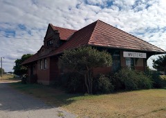 | Walters Rock Island Depot | building | 1998 | 98001147 |
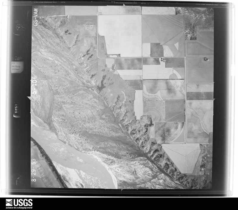
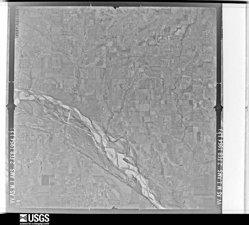
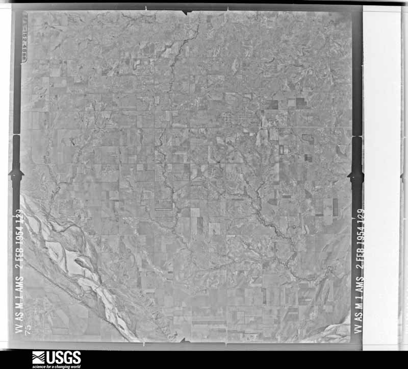
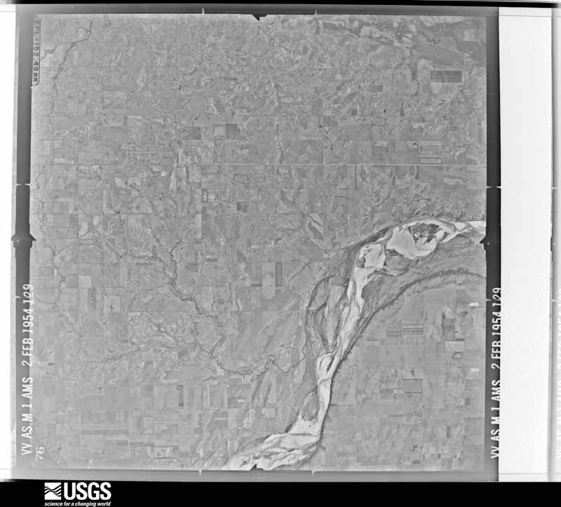
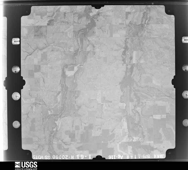
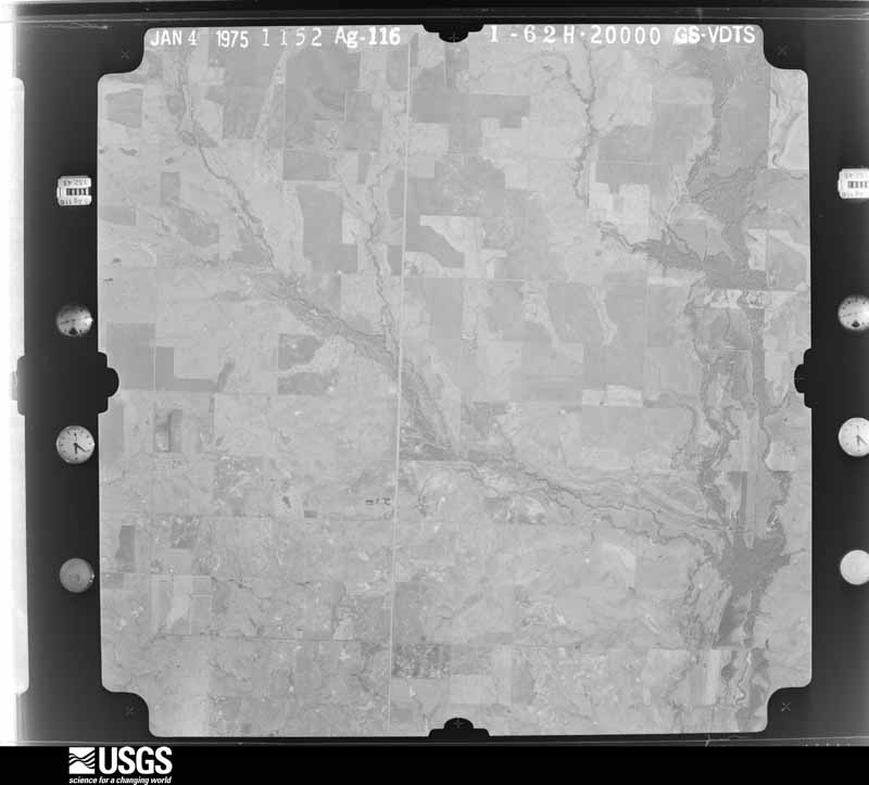
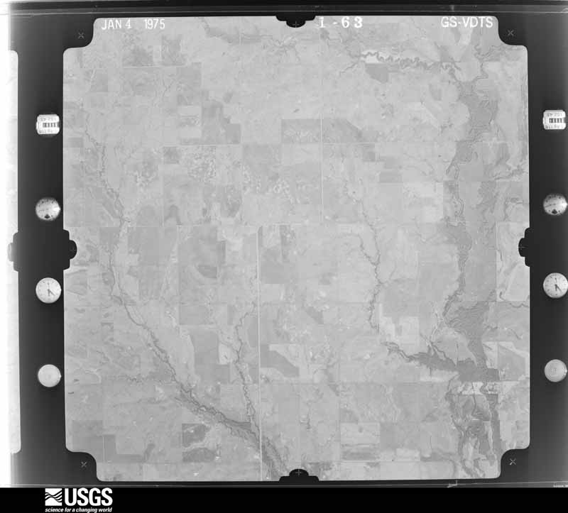
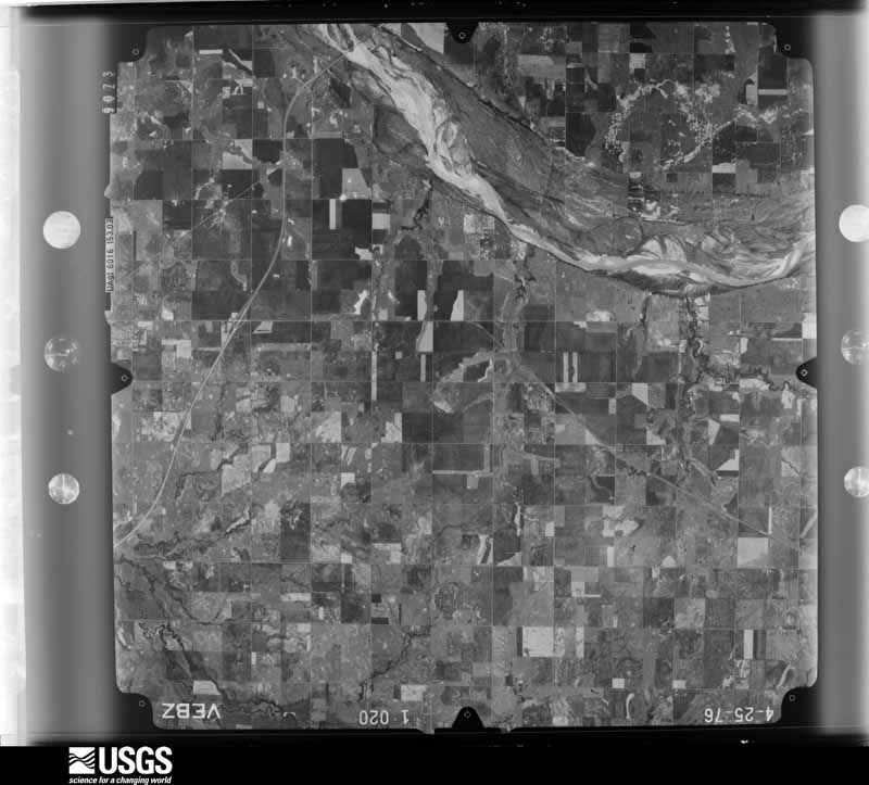
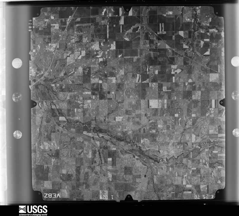
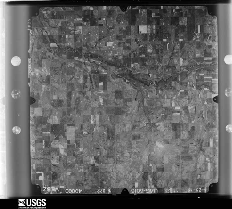
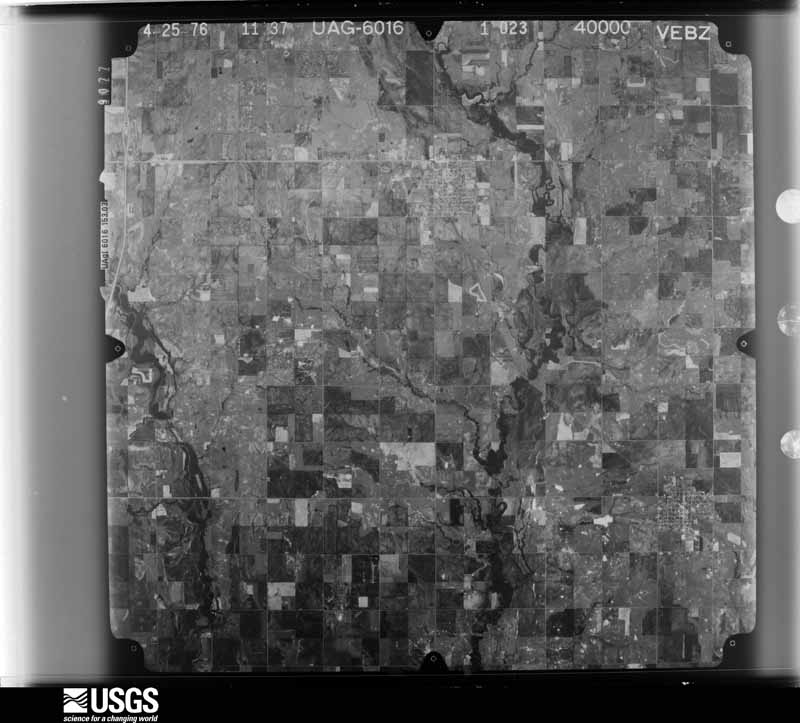
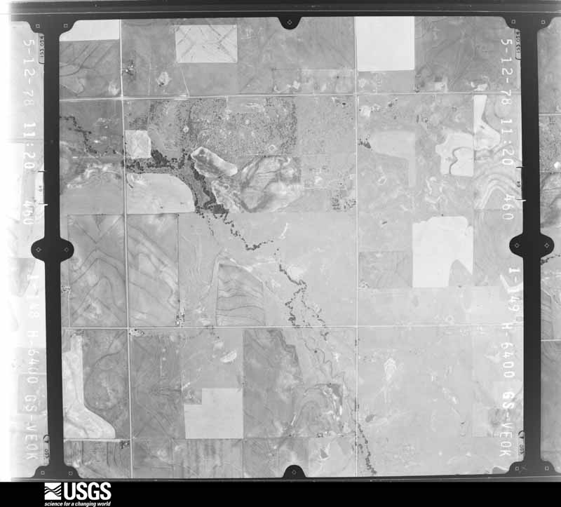
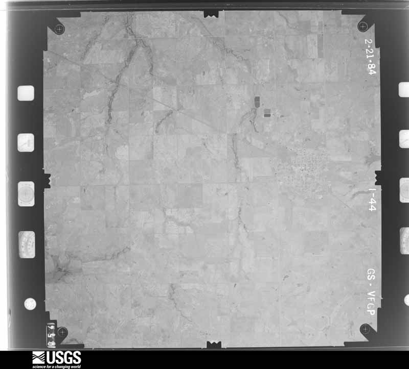
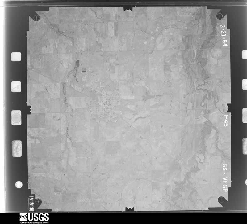
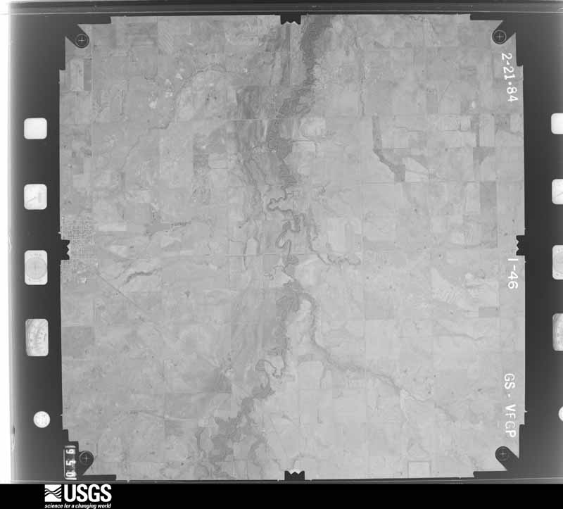
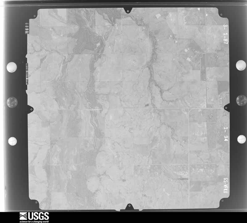
Flown by the U.S. Geological Survey between 1937 and 1989, the Aerial Photo Single Frames collection is the definitive mid-century view of the land: fields, roads and rivers as the camera saw them. The Survey holds 1,577 frames inside the rectangle that bounds this county; the 41 frames below were taken over the county itself, chosen across the decades of flights (at most four a year from that rectangle), so one flight cannot crowd out the rest. The full set is free to browse and download at EarthExplorer under the dataset Aerial Photo Single Frames.
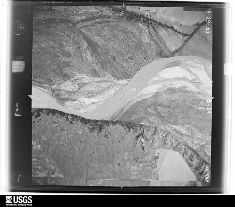
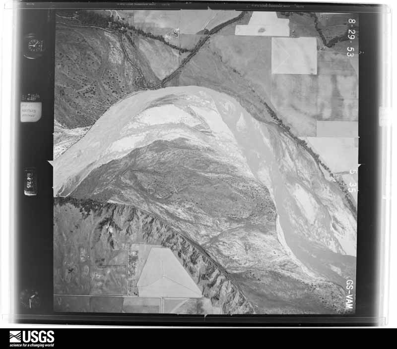
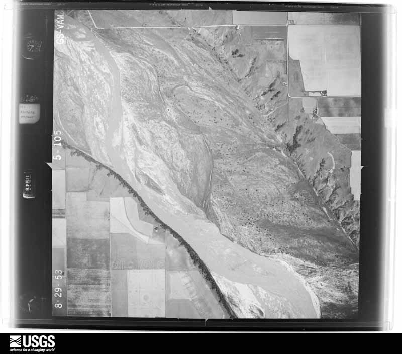
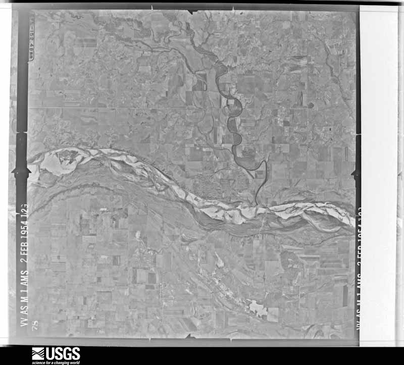
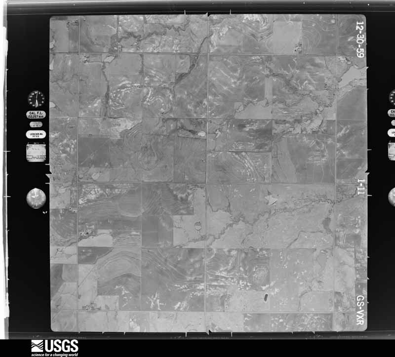

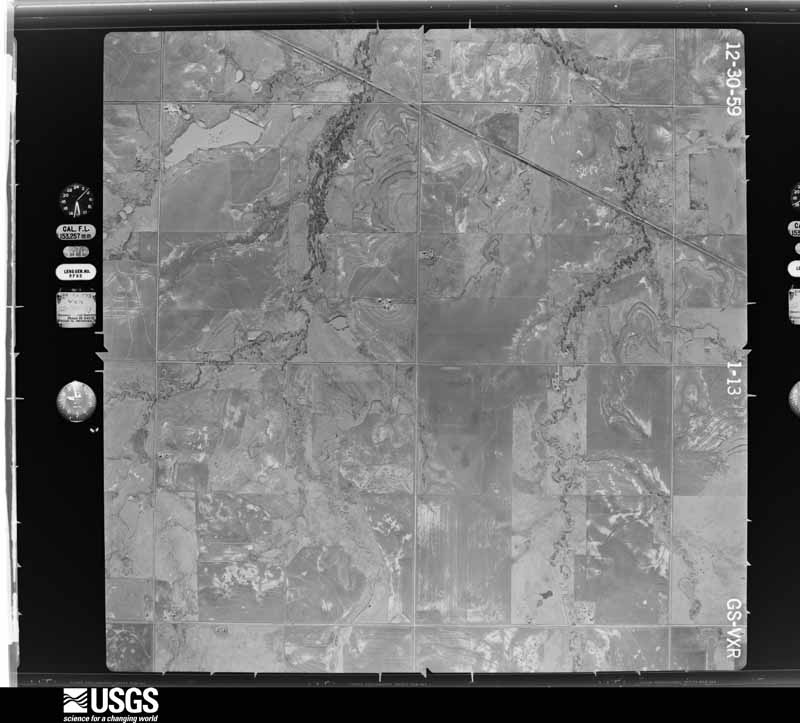
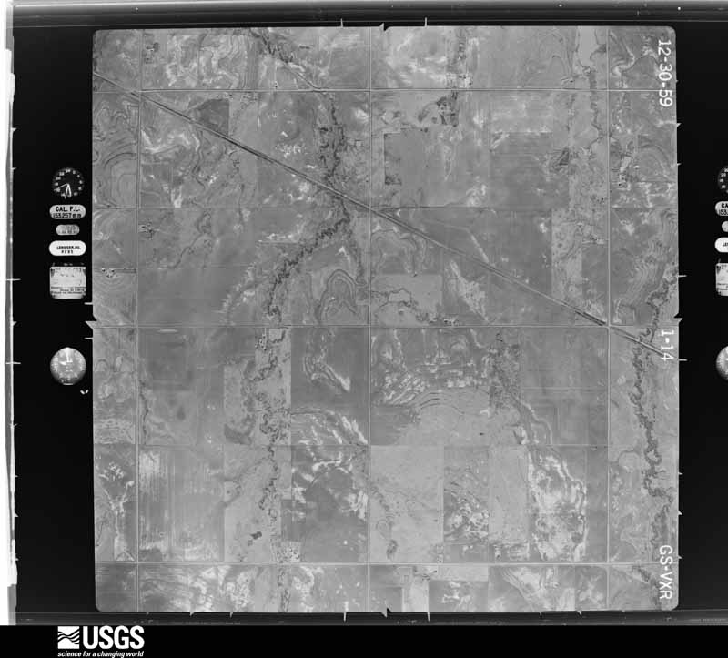
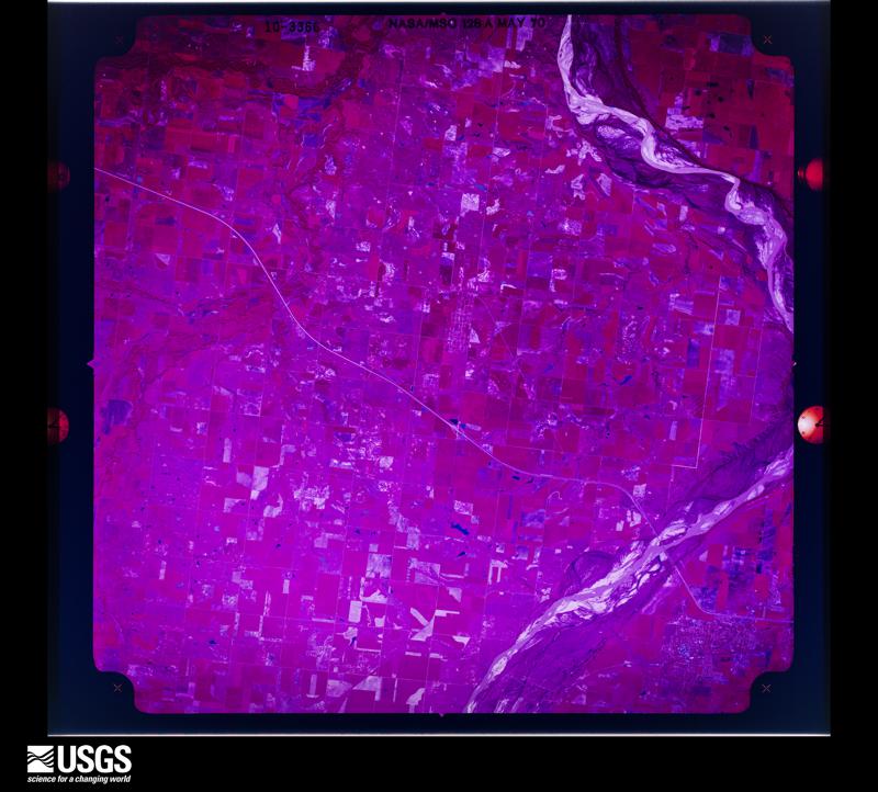
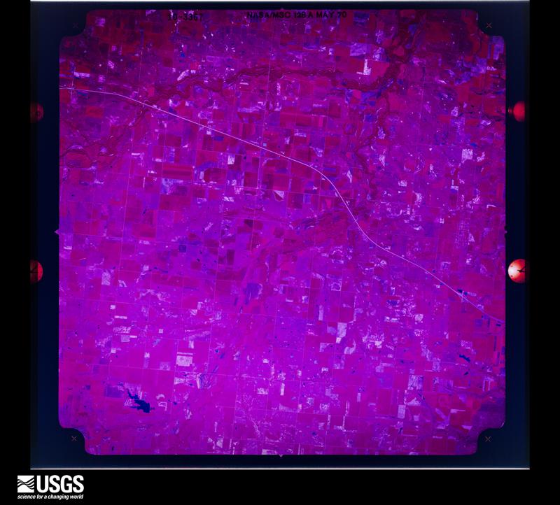
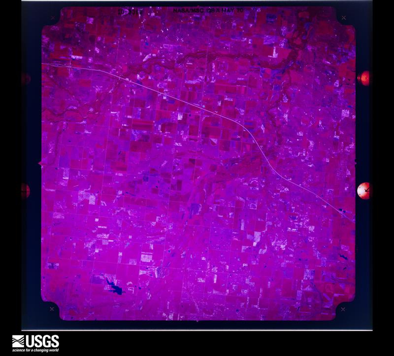
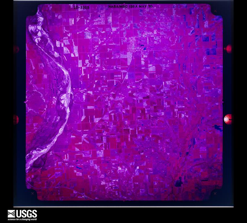
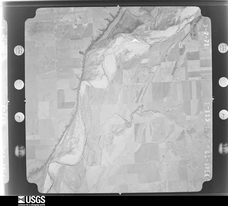
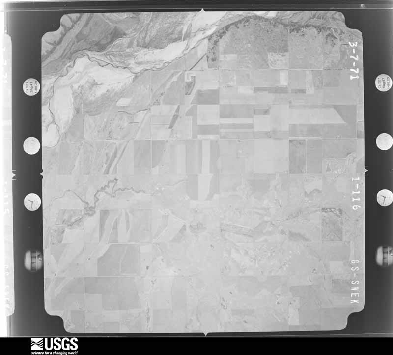
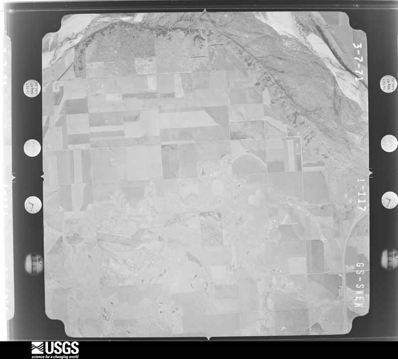
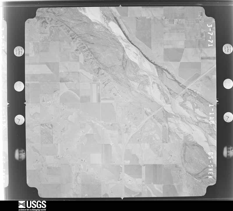
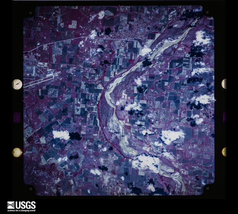

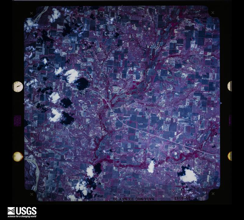
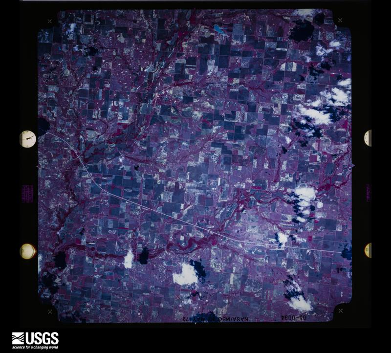
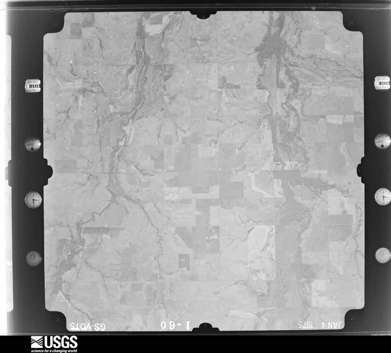
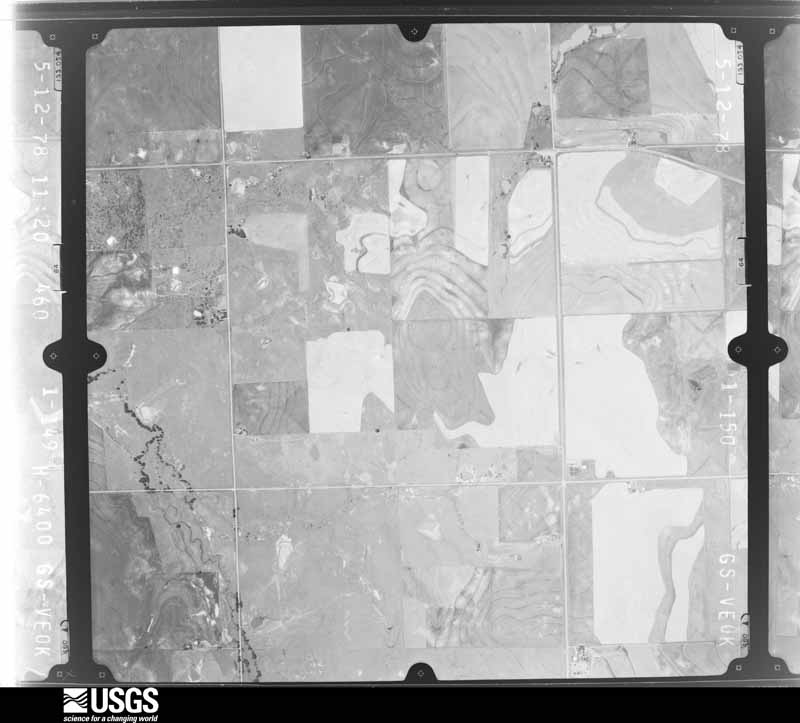
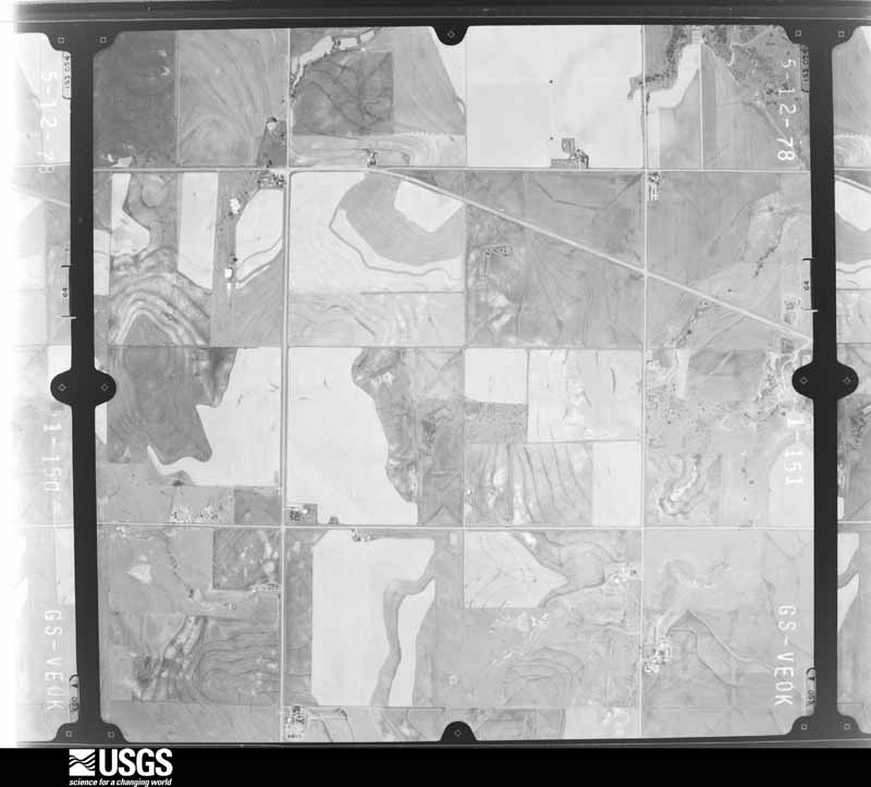
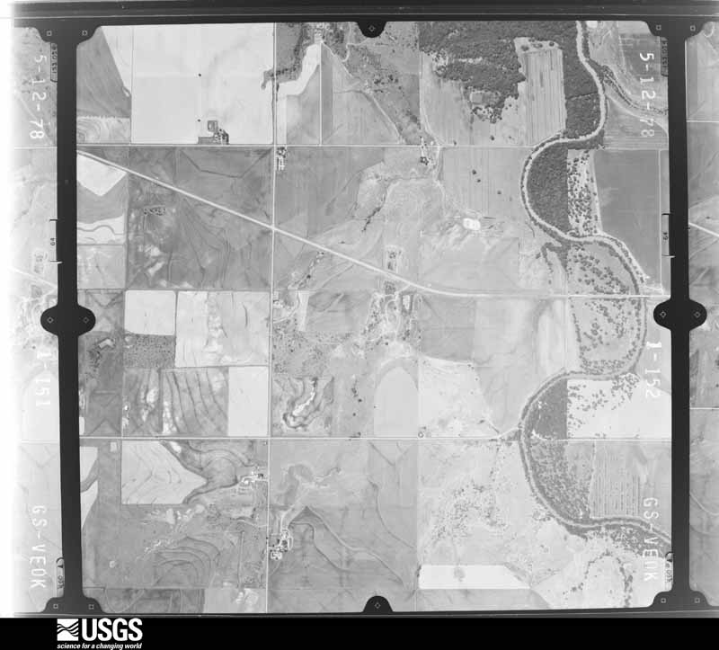
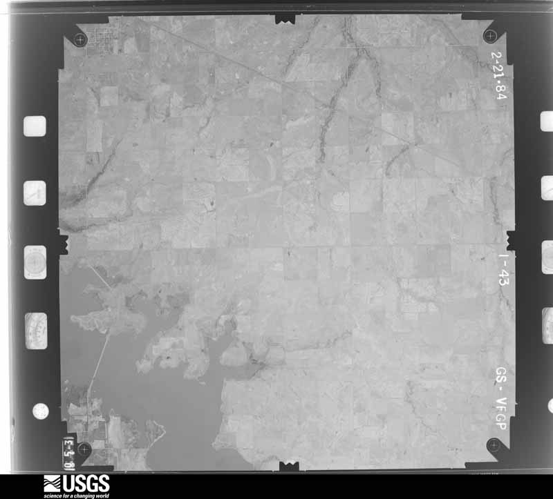
The thermometers that kept this county's weather, and the gages that measured the flow of its streams, as the federal records hold them. The extremes below are measured values from those records, not estimates.
Who lived here in 1950, one enumeration district at a time, as the Census Bureau described each district. Each row opens its official National Archives result, with Population Schedules and ED Maps available there.
Every wildfire the federal occurrence database records inside this county: 75 of them, burning about 6,308 acres. 3 started naturally and 3 were recorded as arson. Each settlement page carries the fires within five miles of it.
| Reported cause | Fires |
|---|---|
| Debris and open burning | 23 |
| Equipment and vehicle use | 18 |
| Missing data/not specified/undetermined | 14 |
| Power generation/transmission/distribution | 7 |
| Fireworks | 5 |
| Arson/incendiarism | 3 |
| Natural | 3 |
| Recreation and ceremony | 1 |
| Other causes | 1 |
The five largest, by the area the report gives. None of them was recorded as arson.
| Date | Cause | Size | Reported by | Name on the report |
|---|---|---|---|---|
| 8 September 2000 | Missing data/not specified/undetermined | 1,200 acres | Oklahoma Division of Forestry | SQUEALER |
| 1 January 2006 | Power generation/transmission/distribution | 1,100 acres | Anadarko Agency | COOKIETOWN |
| 12 September 2000 | Missing data/not specified/undetermined | 400 acres | Oklahoma Division of Forestry | BAILER |
| 9 April 2009 | Power generation/transmission/distribution | 350 acres | Anadarko Agency | WAHANEE |
| 29 June 2012 | Equipment and vehicle use | 332 acres | Anadarko Agency | DEEP RED CREEK |
| 24 December 2005 | Power generation/transmission/distribution | 320 acres | Anadarko Agency | BEAVER CR. |
| 10 February 2006 | Missing data/not specified/undetermined | 250 acres | Oklahoma Division of Forestry | TEMPLE |
| 11 July 2008 | Other causes | 200 acres | Anadarko Agency | SIMMONS - 2 |
Every settlement page carries the fires within five miles of it - see the settlement index below.
The NOAA Storm Events Database holds 550 reports for this county, causing 7 deaths, 23 injuries and about $3,117,920 in recorded property damage. Each settlement page carries the reports that name it.
| Kind of event | Reports |
|---|---|
| Hail | 300 |
| Thunderstorm Wind | 185 |
| Tornado | 45 |
| Flash Flood | 14 |
| Flood | 2 |
| Heavy Rain | 2 |
| Lightning | 1 |
| Funnel Cloud | 1 |
The most serious of them, by death, then injury, then recorded damage. The accounts are quoted exactly as the forecast office filed them.
| When | Event | Place named | Harm | What the report says |
|---|---|---|---|---|
| May 1957 | Tornado (F4) | not stated | 4 killed, 5 hurt, $250,000 | no account filed |
| May 1954 | Tornado (F3) | not stated | 3 killed, 3 hurt, $250,000 | no account filed |
| November 1958 | Tornado (F3) | not stated | 4 hurt | no account filed |
| May 2000 | Thunderstorm Wind | Walters | 3 hurt, $42,000 | Two mobile homes were destroyed, with one of them occupied by a family of 3 at the time. The 3 family members were taken to the hospital with minor injuries. Power poles and trees were also downed, and several vehicles were moved slightly with their windows being broken. |
| March 1988 | Thunderstorm Wind | not stated | 3 hurt | no account filed |
| June 1973 | Tornado (F2) | not stated | 2 hurt, $250,000 | no account filed |
| May 1962 | Tornado (F4) | not stated | 1 hurt, $250,000 | no account filed |
| August 1959 | Tornado (F3) | not stated | 1 hurt, $250,000 | no account filed |
| April 1969 | Tornado (F2) | not stated | 1 hurt, $25,000 | no account filed |
| May 2000 | Thunderstorm Wind | Walters | $600,000 | Five large transmission poles were downed on the north side of Walters. The high school lost about one third of its overlayment on the west side of the gym. Nine homes were destroyed, 6 severely damaged, and 15 with minor to moderate damage. Thirty homes in total were damaged, 20 of them mobile homes. |
| May 1954 | Tornado (F3) | not stated | $250,000 | no account filed |
| August 1996 | Tornado (F1) | Walters | $100,000 | no account filed |
| May 2016 | Thunderstorm Wind | Temple | $80,000 | There were numerous reports of tree damage, power poles down, and minor roof damage to homes. A couple of small structures, such as storage sheds, were also destroyed. The time of this reported was estimated based on radar. |
| May 2004 | Thunderstorm Wind | Walters | $60,000 | A historic downtown store front was heavily damaged when it caved in due to the strong winds that moved through the town. The store was originally built in 1920. |
| May 2025 | Thunderstorm Wind | Cookietown | $50,000 | A semi-trailer was blown over due to thunderstorm winds. The event time and location are estimated from a phone call report and radar observations. |
| June 2020 | Thunderstorm Wind | Taylor | $50,000 | Several reports of minor roof damage, tree limbs (6-inch diameter) broken, and one 45x50 barn completely demolished. The barn that was destroyed blew across US70 - 1/2 a mile east of SH65, taking down power lines and striking one vehicle that was driving eastbound. |
| April 1995 | Tornado (F1) | Temple | $50,000 | no account filed |
| June 1994 | Thunderstorm Wind | Temple | $50,000 | no account filed |
| June 2007 | Flash Flood | Walters | $40,000 | Water was reported inside several homes and business. Monetary damages were estimated. |
| July 2000 | Thunderstorm Wind | Randlett | $40,000 | Four mobile homes were destroyed, one which was occupied, and several power poles were downed. In addition, scattered areas of window and shingle damage occurred. |
| July 1998 | Lightning | Walters | $40,000 | no account filed |
| April 2024 | Tornado (EF1) | Devol | $30,000 | This tornado which developed in Wichita County Texas and moved across far southeastern Tillman County Oklahoma moved into Cotton County to the southwest of Devol before dissipating about one mile east of Devol. The tornado moved northeast and then east-northeast affecting the southern portion of Devol. One house just southeast of Devol received roof damage, and trees and power poles were damaged along the path in Cotton County. |
| May 2025 | Tornado (EF0) | Walters Arpt | $25,000 | This tornado damaged the roof of a mobile home and damaged an outbuilding near US Highway 277 north of Cookietown. |
| March 1973 | Tornado (F1) | not stated | $25,000 | no account filed |
| May 1960 | Tornado (F2) | not stated | $25,000 | no account filed |
| August 1959 | Tornado (F2) | not stated | $25,000 | no account filed |
| June 2023 | Thunderstorm Wind | Walters Arpt | $20,000 | Report of a roof off of a residence. Time is radar estimated. |
| May 2013 | Thunderstorm Wind | Walters | $20,000 | A large barn was destroyed. |
| May 2013 | Thunderstorm Wind | Walters Arpt | $20,000 | Mesonet site at Walters measured a gust to 79 mph. A 24x30 ft. barn was airborne near the same location. |
| June 2023 | Thunderstorm Wind | Walters | $15,000 | Roof of a large aluminum building partially removed. Several power poles blown over in the vicinity as well. Time is radar estimated. |
| May 2011 | Thunderstorm Wind | Walters | $15,000 | Ten power poles were downed on Highway 5 due to the severe wind. Monetary damages were estimated. |
| March 2004 | Thunderstorm Wind | Walters | $15,000 | A semi-truck was blown over near the Walters toll booth on Interstate 44. |
| June 2025 | Thunderstorm Wind | Randlett | $10,000 | A report of power poles snapped and/or broken. The report was relayed through mPING. The event time is estimated from radar observations. |
| June 2023 | Tornado (EF0) | Walters Arpt | $10,000 | An EF0 tornado developed northwest of Walters and just east of Interstate 44. It produced barn and shingle damage as it moved east-southeast. |
| June 2017 | Thunderstorm Wind | Walters | $10,000 | Many power lines were downed. |
| June 2017 | Thunderstorm Wind | Temple | $10,000 | Multiple power poles were downed. |
| October 2014 | Thunderstorm Wind | Temple | $10,000 | Large tree limbs blown down and shingles removed from roofs. |
| August 1997 | Thunderstorm Wind | Cookietown | $7,000 | A truck with a trailer of 350 gallons of diesel fuel was blown over by severe thunderstorm winds. |
| April 2024 | Thunderstorm Wind | Randlett | $5,000 | Power poles blown down near the intersection of U.S. Highways 70 and 277. Relayed by emergency management. Time is radar estimated. |
| November 2024 | Thunderstorm Wind | Walters Arpt | $5,000 | A swath of significant straight-line winds continued into portions of far northwestern Cotton County, roughly along East 1810 Road. A relayed image shows multiple wooden power poles leaning. Event time is radar-estimated. |
| June 2023 | Thunderstorm Wind | Walters | $5,000 | Power poles snapped. Time is radar estimated. |
| July 2023 | Thunderstorm Wind | Temple | $5,000 | Relayed image showing a snapped power pole. Time and location are estimated. |
| August 2020 | Thunderstorm Wind | Randlett | $5,000 | Minor damage to the Kiowa casino, some of the roofing was ripped off and tossed outside the main entrance. Time is radar estimated. |
| April 2006 | Tornado (F1) | Randlett | $5,000 | A tornado that was observed by several storm chasers and spotters touched down near Randlett on the evening on April 24,2006. Video showed that the tornado began as a dust whirl on the ground with no condensation funnel for the first few minutes. A condensation funnel eventually developed from cloud base to the ground and was described as a fat stove-pipe at times. This tornado crossed the Red River into Clay County Texas at 1938 CST (see west north Texas tornado entry) before dissipating. The tornado caused some damage in Oklahoma. A meteorologist at Sheppard Air Force Base in Wichita Falls, Texas did a survey of the damage. Numerous hardwood, mainly elm, trees were snapped or uprooted, with large limbs also downed. One large elm tree, about 2.5 foot in diameter, was snapped about 4 feet above the ground. One large tree was partially debarked. Power poles were also snapped. A few calves were also missing. |
| February 2001 | Thunderstorm Wind | Walters | $5,000 | Wind gust was measured by Oklahoma mesonet. Numerous power poles were also downed across the area. |
| April 1995 | Thunderstorm Wind | Temple | $5,000 | no account filed |
| April 1995 | Thunderstorm Wind | Walters | $5,000 | no account filed |
| May 1995 | Thunderstorm Wind | Altus | $5,000 | no account filed |
| July 1995 | Thunderstorm Wind | Walters | $5,000 | no account filed |
| July 1995 | Thunderstorm Wind | Devol | $5,000 | no account filed |
| June 1994 | Thunderstorm Wind | Cookietown | $5,000 | no account filed |
| June 1994 | Thunderstorm Wind | Temple | $5,000 | no account filed |
| June 2005 | Thunderstorm Wind | Randlett | $2,500 | Power poles were downed. |
| April 1967 | Tornado (F1) | not stated | $2,500 | no account filed |
| May 1965 | Tornado (F0) | not stated | $2,500 | no account filed |
| May 1951 | Tornado (F1) | not stated | $2,500 | no account filed |
| May 2018 | Tornado (EF1) | Devol | $2,000 | A tornado developed about 5 miles east-northeast of Loveland and moved northeast crossing into Cotton County and dissipating about 5 miles south of Chattanooga. Utility poles were damaged both along State Highway 36 in Tillman County and NS243 Road in Cotton County. |
| April 2016 | Thunderstorm Wind | Hulen | $2,000 | Winds caused damage to a mobile home, collapsing the front porch. |
| May 2001 | Thunderstorm Wind | Hulen | $2,000 | A house was damaged by winds estimated at 80 mph. |
| September 2000 | Thunderstorm Wind | Walters | $2,000 | Four power poles were downed. |
The Survey's mineral resources record lists 52 workings inside this county. 2 still produce and 50 are closed or unrecorded. Each settlement page carries the workings within five miles of it.
| Commodity | Workings |
|---|---|
| Sand and Gravel, Construction | 31 |
| Copper | 15 |
| Uranium | 2 |
| Clay | 2 |
| Silver | 1 |
| Vanadium, Cobalt, Chromium, Nickel | 1 |
| Vanadium, Silver, Chromium | 1 |
| Uranium, Copper | 1 |
| Manganese | 1 |
| Silica | 1 |
The least common of them first, because a county's hundredth gravel pit says nothing its first ten did not.
| Where | Site | Commodity | Status | Recorded |
|---|---|---|---|---|
| Cotton County Prospect | Manganese | Occurrence | 1941 | |
| Eastman Prospect | Uranium, Copper | Past Producer | 1954 | |
| Pitts Pit & Plant | Silica | Producer | ||
| Randlett Northeast-2 | Copper, Silver, Vanadium, Cobalt, Chromium, Nickel | Occurrence | 1971 | |
| Randlett Northeast-4 | Copper, Vanadium, Silver, Chromium | Occurrence | 1971 | |
| Randlett Northwest-1 | Copper, Uranium | Occurrence | 1955 | |
| Unknown Shale Pit | Clay | Past Producer | ||
| Unknown Shale Pit | Clay | Past Producer | ||
| Uranium Prospect | Uranium | Occurrence | ||
| Benson Prospect | Copper | Occurrence | 1891 | |
| Cookietown Northeast-1 | Copper | Occurrence | Stratabound | |
| Matthews Prospect | Copper | Past Producer | 1930 | |
| Randlett Northeast-1 | Copper | Occurrence | 1971 | |
| Randlett Northeast-3 | Copper | Occurrence | 1971 | |
| Taylor North-1 | Copper | Occurrence | 1942 | |
| Taylor South-1 | Copper | Occurrence | 1913 | |
| Taylor Southeast-1 | Copper | Occurrence | 1852 | |
| Temple East-1 | Copper | Past Producer | 1936 | |
| Whiskey Creek-1 | Copper | Occurrence | 1852 | |
| Whiskey Creek-2 | Copper | Occurrence | 1913 | |
| Whiskey Creek-3 | Copper | Occurrence | 1913 | |
| Jacobson Materials Sand and Gravel | Sand and Gravel, Construction | Producer | ||
| Unknown Sand Pit | Sand and Gravel, Construction | Past Producer | ||
| Unknown Sand Pit | Sand and Gravel, Construction | Past Producer | ||
| Unknown Sand Pits | Sand and Gravel, Construction | Past Producer | ||
| Unknown Sand and Gravel | Sand and Gravel, Construction | Past Producer | ||
| Unknown Sand and Gravel Pit | Sand and Gravel, Construction | Past Producer | ||
| Unknown Sand and Gravel Pit | Sand and Gravel, Construction | Past Producer | ||
| Unknown Sand and Gravel Pit | Sand and Gravel, Construction | Past Producer | ||
| Unknown Sand and Gravel Pit | Sand and Gravel, Construction | Past Producer | ||
| Unknown Sand and Gravel Pit | Sand and Gravel, Construction | Past Producer | ||
| Unknown Sand and Gravel Pit | Sand and Gravel, Construction | Past Producer | ||
| Unknown Sand and Gravel Pit | Sand and Gravel, Construction | Past Producer | ||
| Unknown Sand and Gravel Pit | Sand and Gravel, Construction | Past Producer | ||
| Unknown Sand and Gravel Pit | Sand and Gravel, Construction | Past Producer | ||
| Unknown Sand and Gravel Pit | Sand and Gravel, Construction | Past Producer | ||
| Unknown Sand and Gravel Pit | Sand and Gravel, Construction | Past Producer | ||
| Unknown Sand and Gravel Pit | Sand and Gravel, Construction | Past Producer | ||
| Unknown Sand and Gravel Pit | Sand and Gravel, Construction | Past Producer | ||
| Unknown Sand and Gravel Pit | Sand and Gravel, Construction | Past Producer | ||
| Unknown Sand and Gravel Pit | Sand and Gravel, Construction | Past Producer | ||
| Unknown Sand and Gravel Pits | Sand and Gravel, Construction | Past Producer | ||
| Unknown Sand and Gravel Pits | Sand and Gravel, Construction | Past Producer | ||
| Unknown Sand and Gravel Pits | Sand and Gravel, Construction | Past Producer | ||
| Unknown Sand and Gravel Pits | Sand and Gravel, Construction | Past Producer | ||
| Unknown Sand and Gravel Pits | Sand and Gravel, Construction | Past Producer | ||
| Unknown Sand and Gravel Pits | Sand and Gravel, Construction | Past Producer | ||
| Unknown Sand and Gravel Pits | Sand and Gravel, Construction | Past Producer | ||
| Unknown Sand and Gravel Pits | Sand and Gravel, Construction | Past Producer | ||
| Unknown Sand and Gravel Pits | Sand and Gravel, Construction | Past Producer | ||
| Unknown Sand and Gravel Pits | Sand and Gravel, Construction | Past Producer | ||
| Unknown Sand and Gravel Pits | Sand and Gravel, Construction | Past Producer |
Named settlements recorded in the Geographic Names Information System, each with the topographic sheets covering it. Villages, hamlets and abandoned places alike. Each is shown with the nearest named watercourse or landform and the survey quadrangle it falls on. The 3 places that were also surveyed for fire insurance come first, with the number of atlases and photographs held for them.
Southwest Cotton census division · 73531 · Devol quadrangle
9 sheets, 1955 to 1985
Fire insurance: 3 atlases
Temple census division · 73568 · Temple quadrangle
10 sheets, 1955 to 1987
Fire insurance: 4 atlases
Walters census division · 73572 · Walters quadrangle
9 sheets, 1955 to 1987
Fire insurance: 4 atlases
10 topographic sheets and 4 fire insurance atlases, 1910 to 1939
9 topographic sheets and 4 fire insurance atlases, 1910 to 1932
9 topographic sheets and 3 fire insurance atlases, 1919 to 1930