Block
From the record
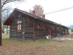
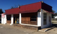
32 National Register listings published here.
Sources: the National Register database, National Park Service
75 topographic sheets and 36 fire insurance atlases across 9 places.
32 National Register listings published here.
Sources: the National Register database, National Park Service
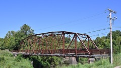
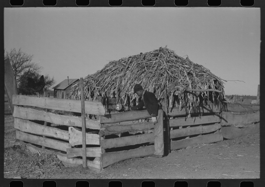
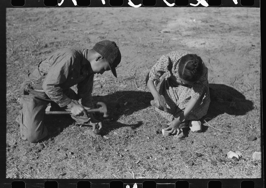
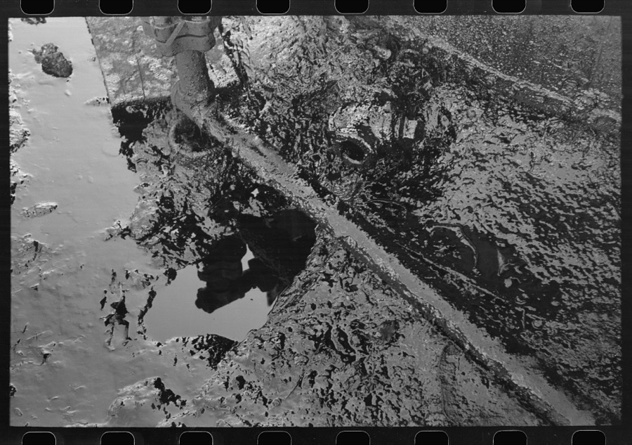
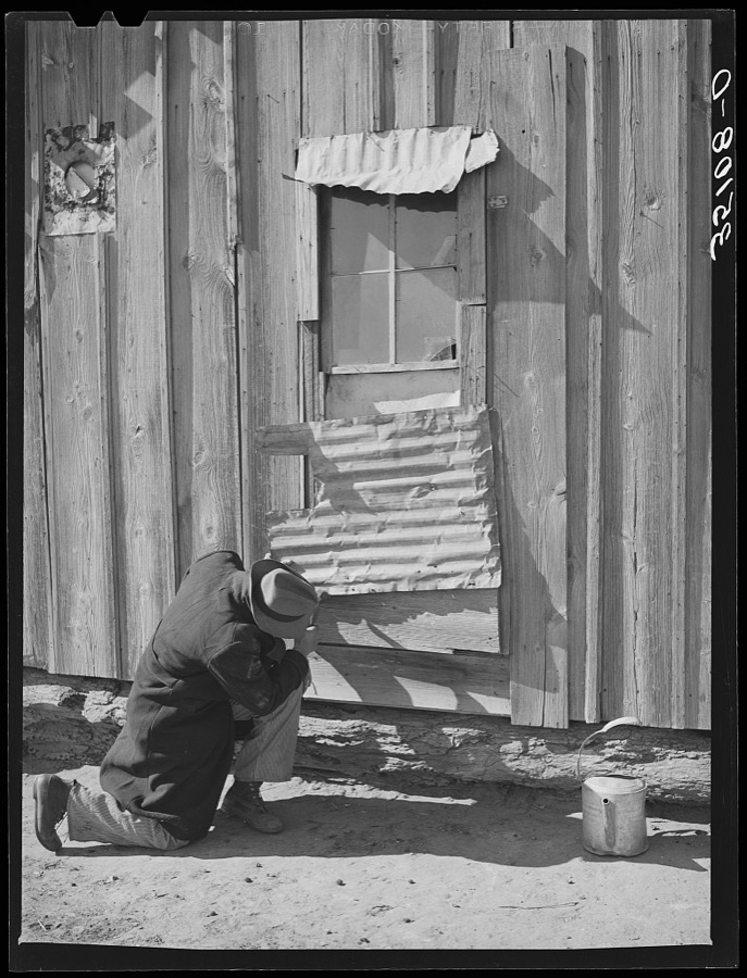
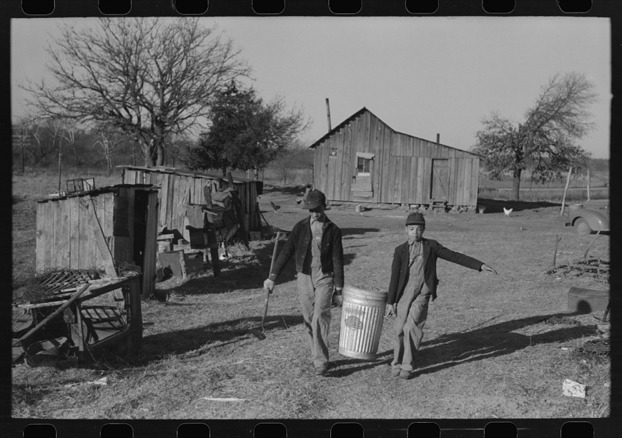
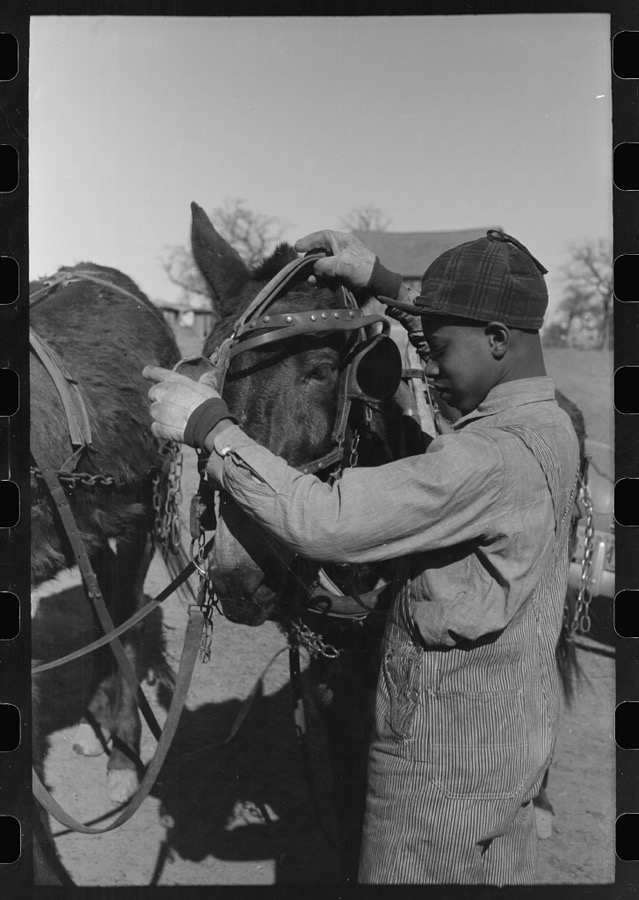
Taken for the Office of War Information and the Farm Security Administration, who photographed the country between 1935 and 1944. Works of United States government photographers, with no known restriction on use. Each opens its catalogue record.


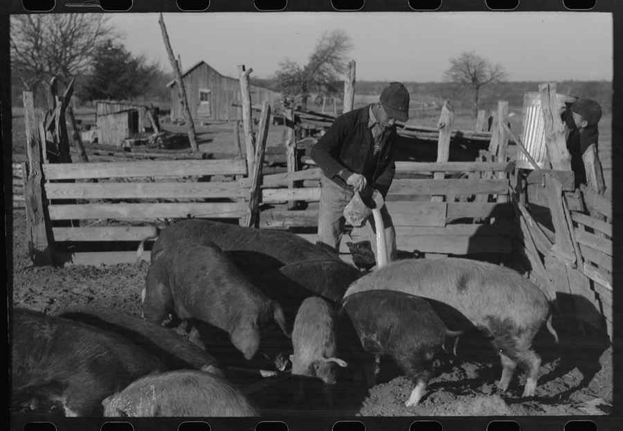




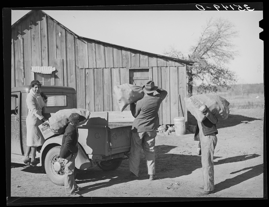

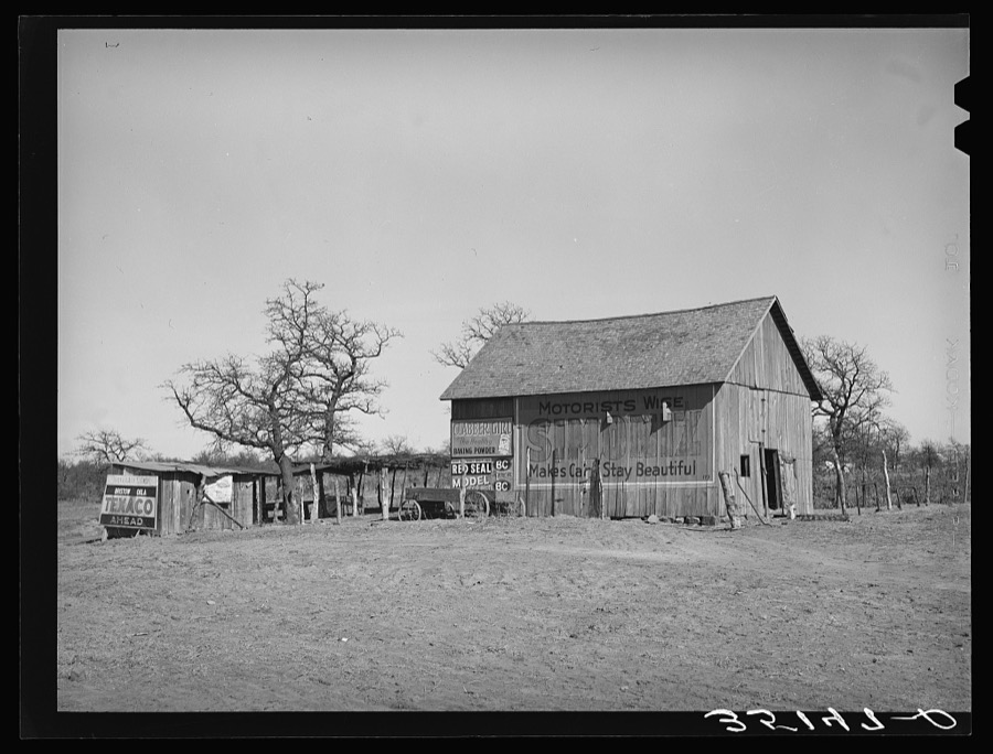
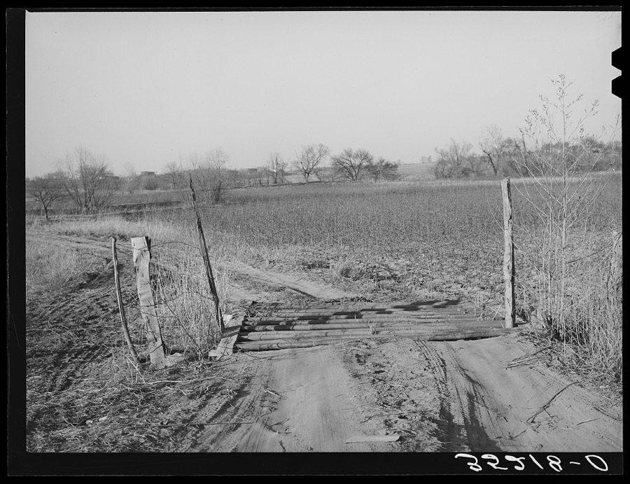


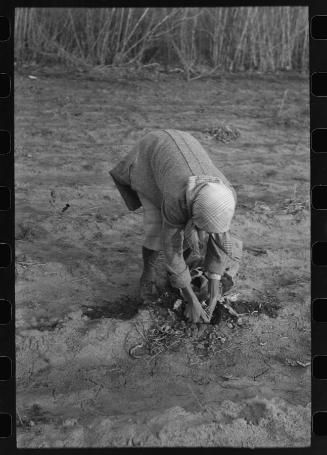



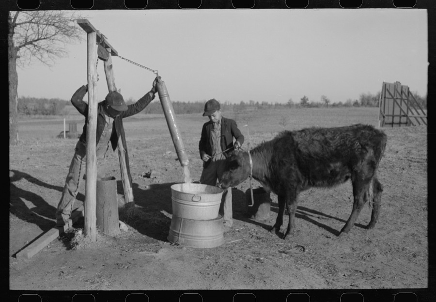



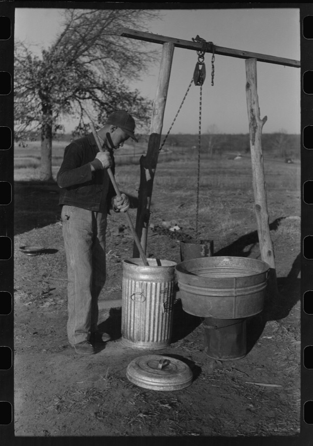
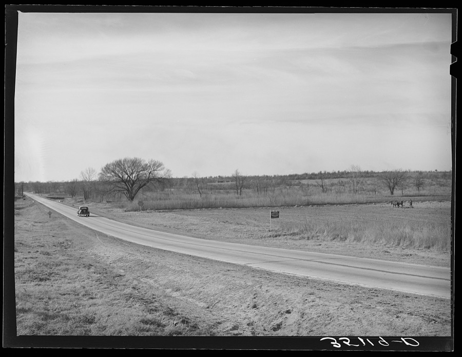


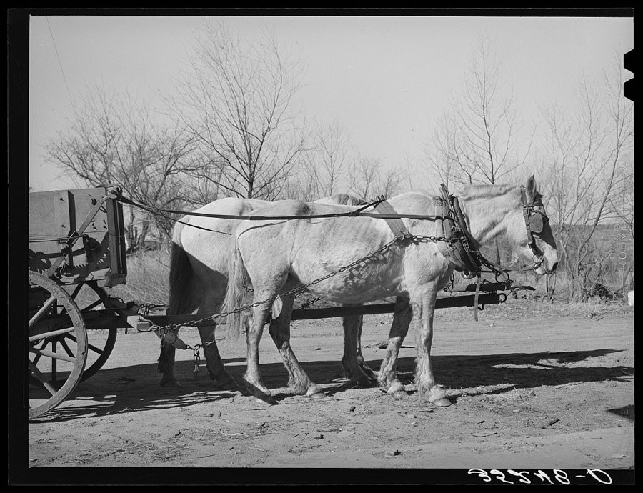



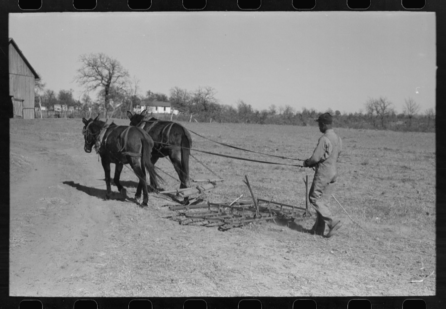


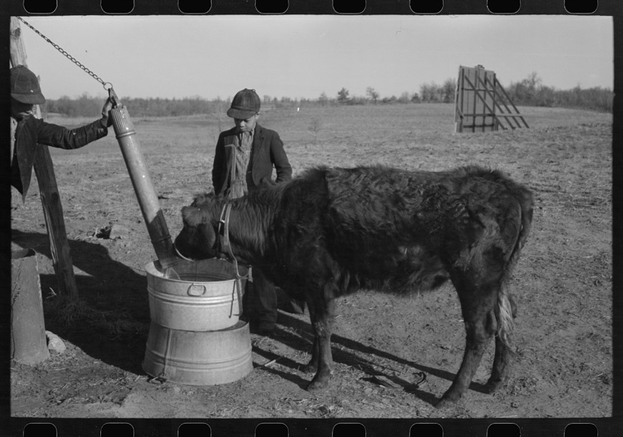
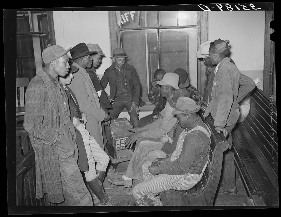
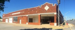
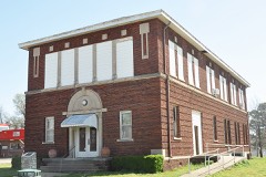
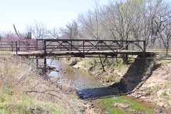
Every property in this county listed on the National Register of Historic Places, with the year it was listed and the federal nomination document.
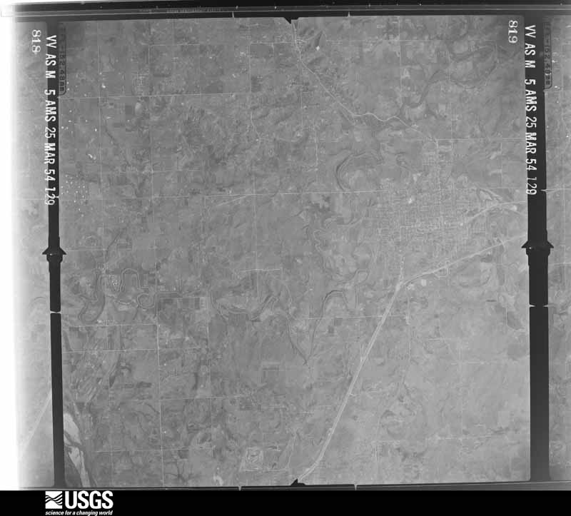
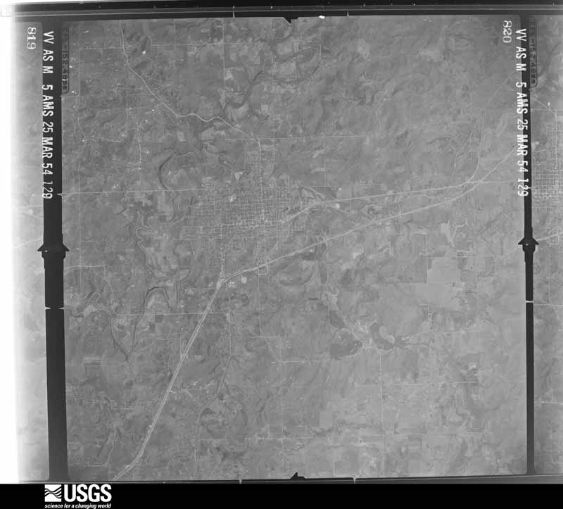
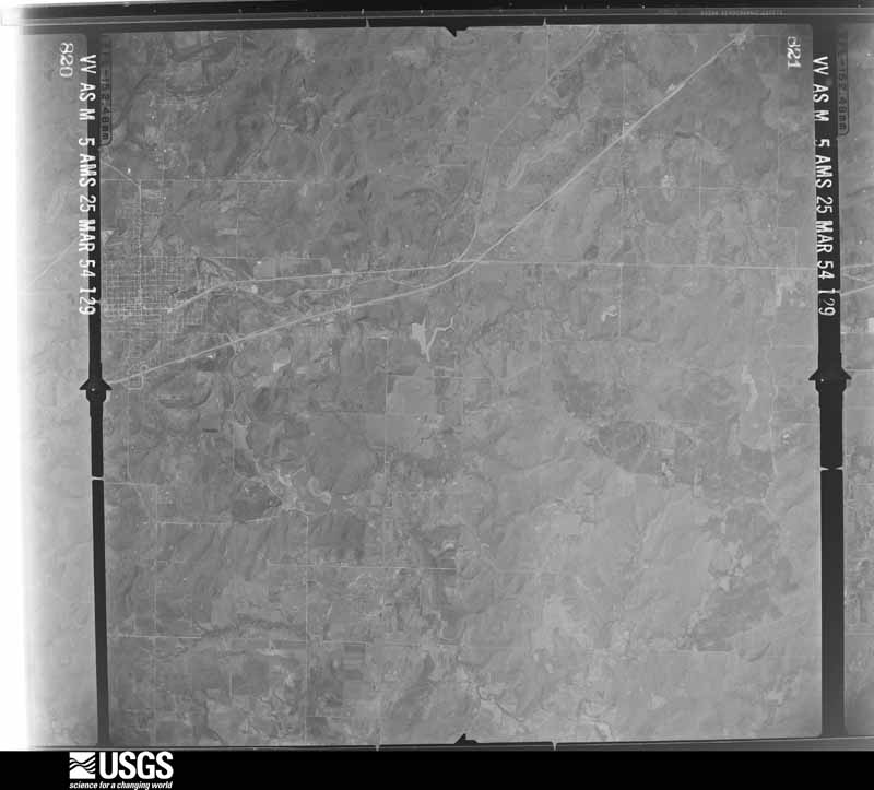
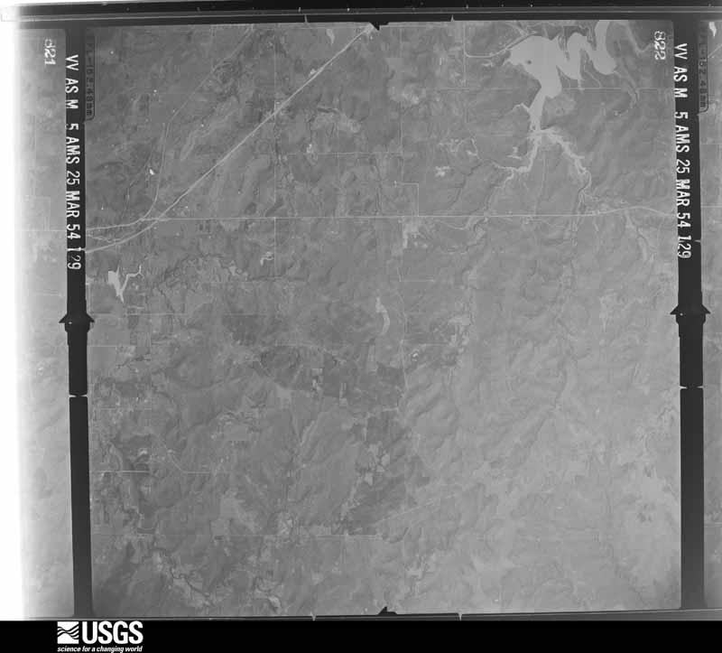
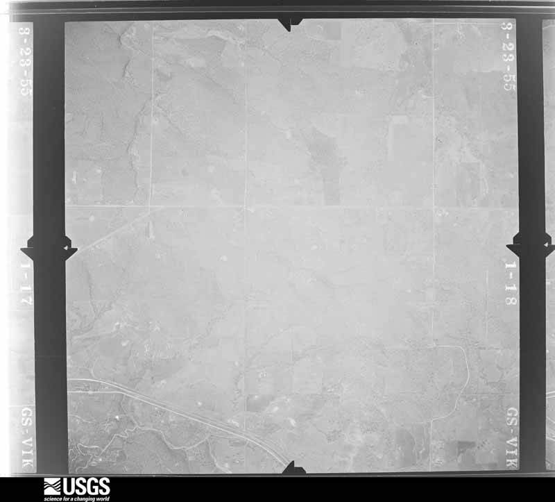
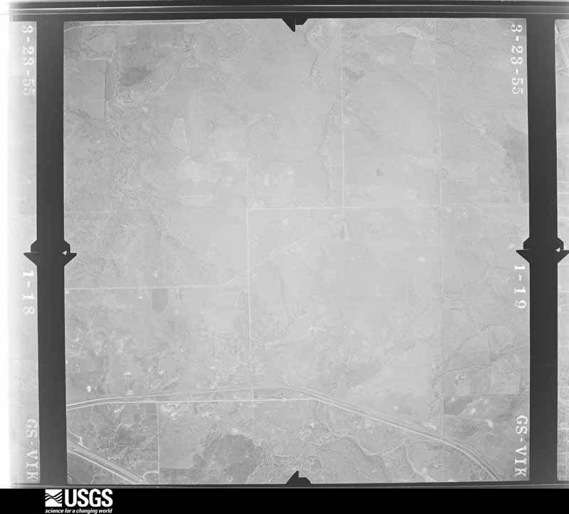
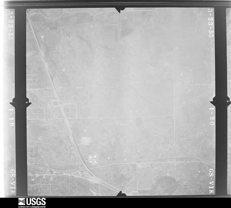
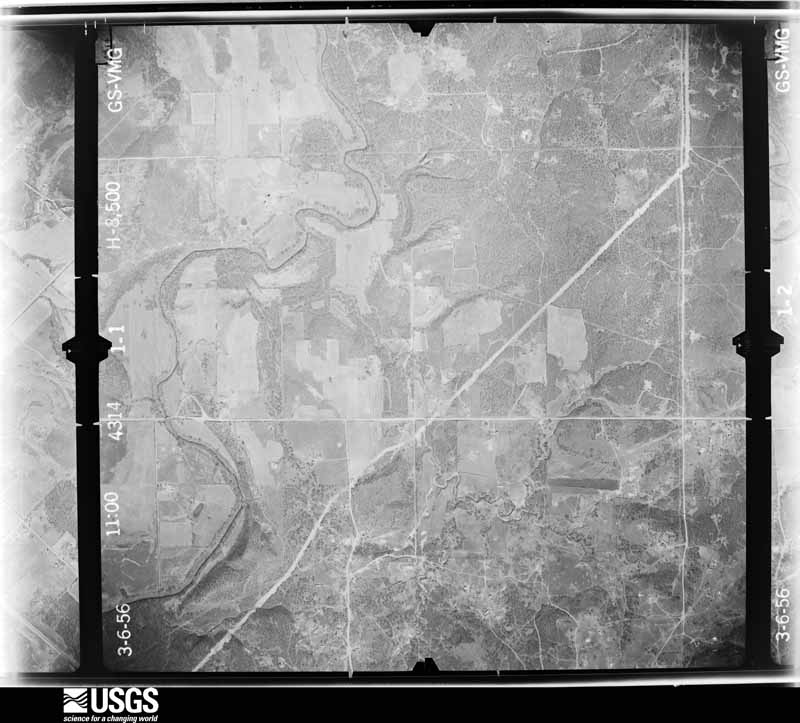
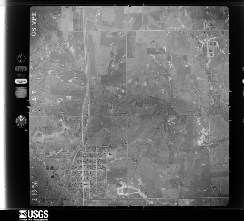
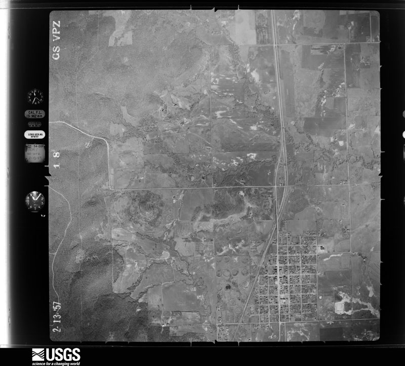
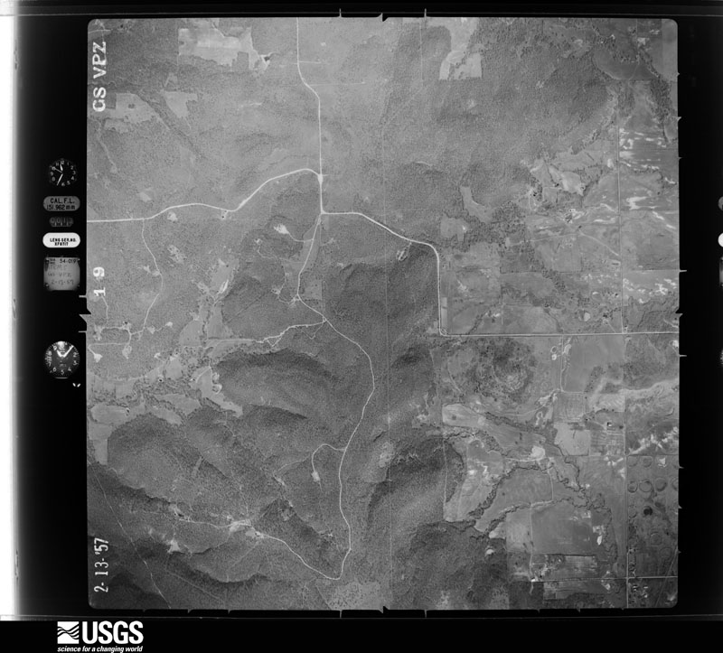
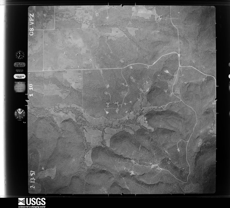
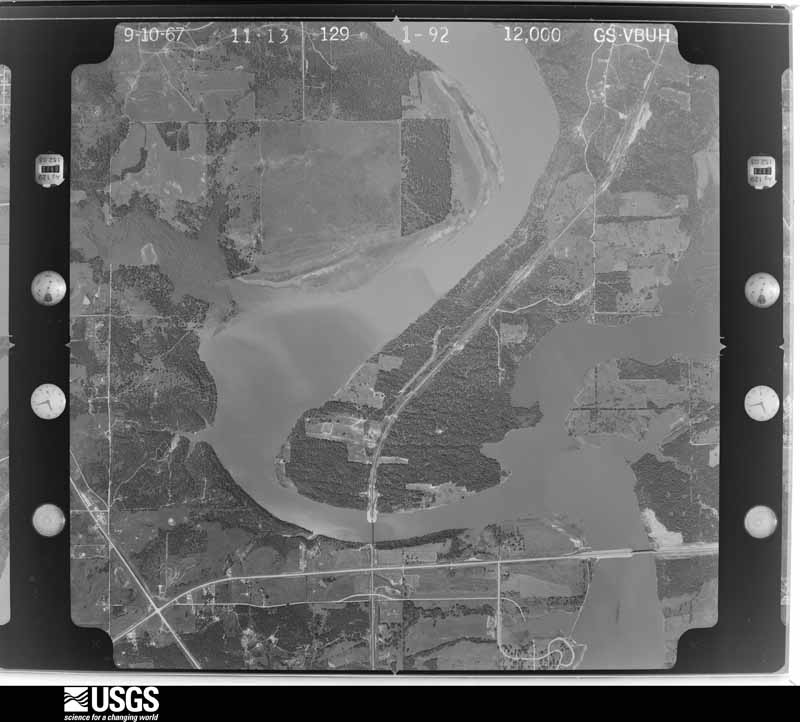
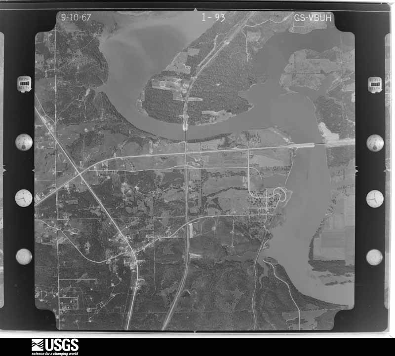
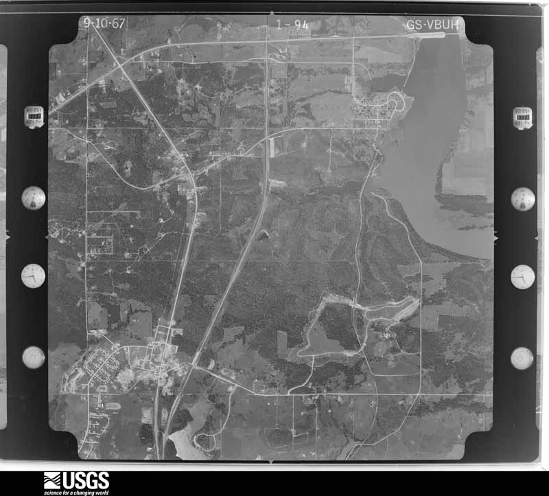
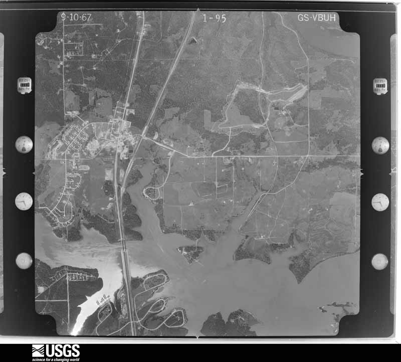
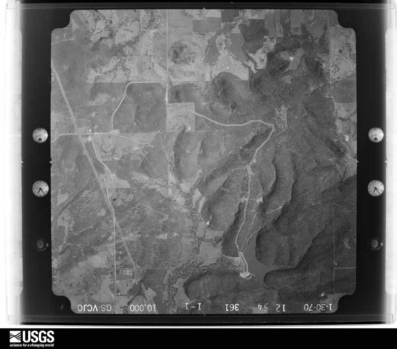
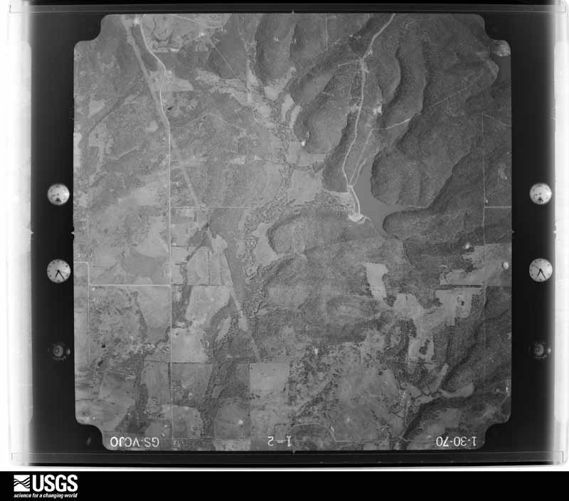
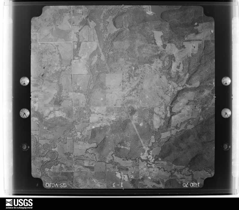
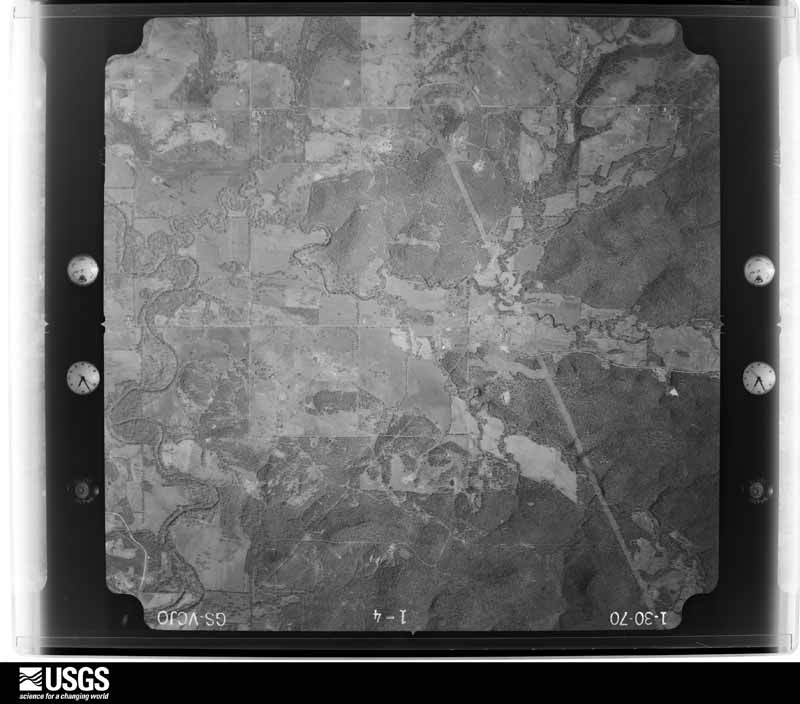
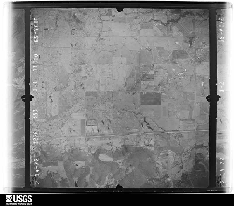
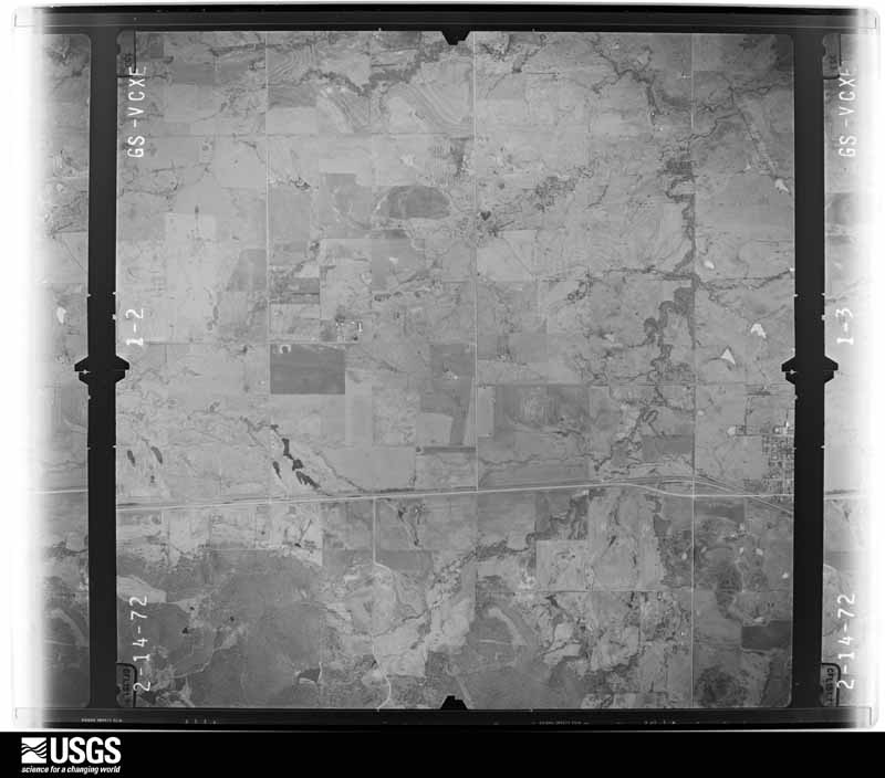
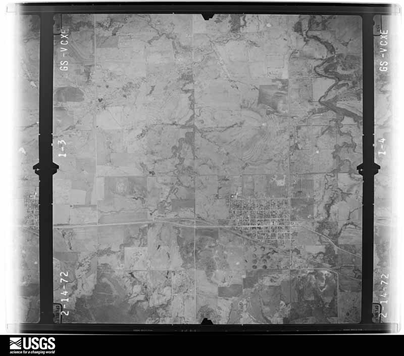
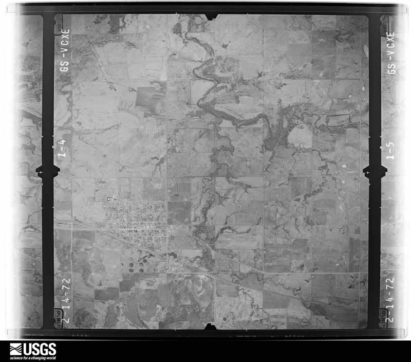
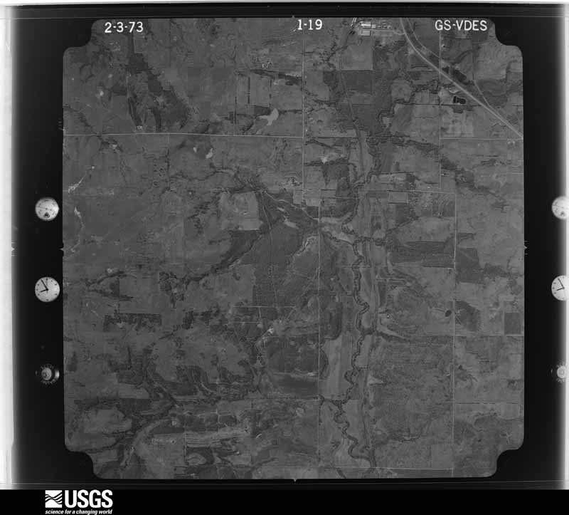
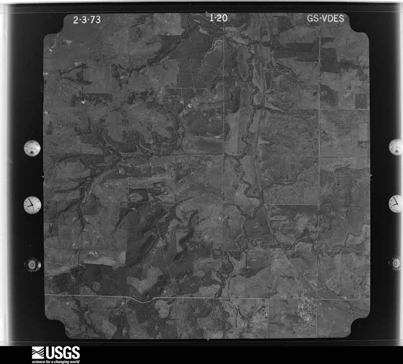
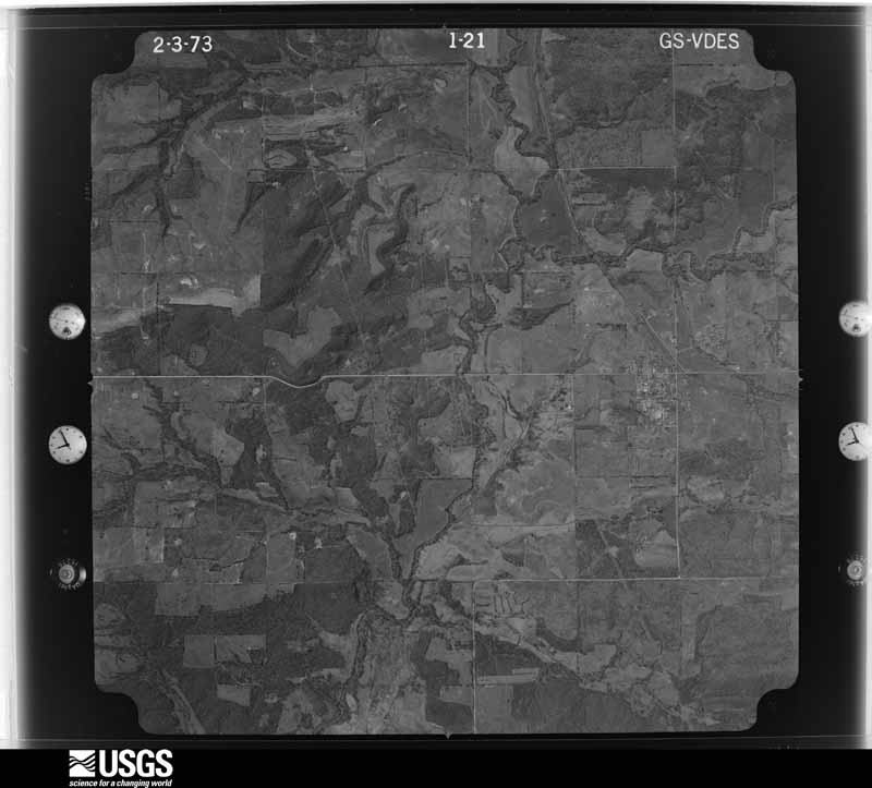
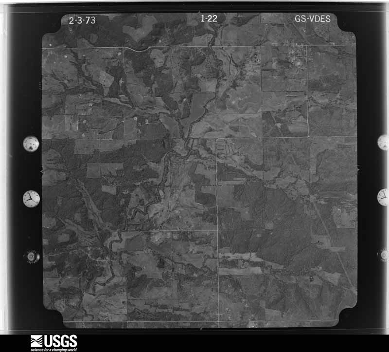
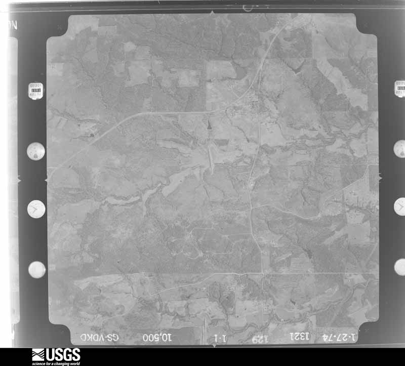
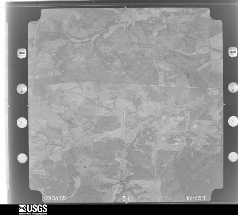
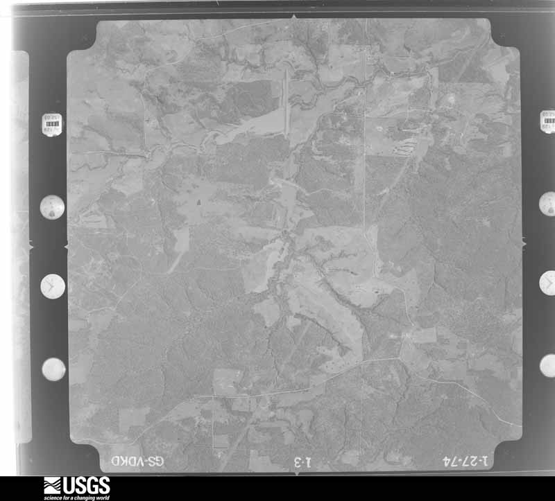
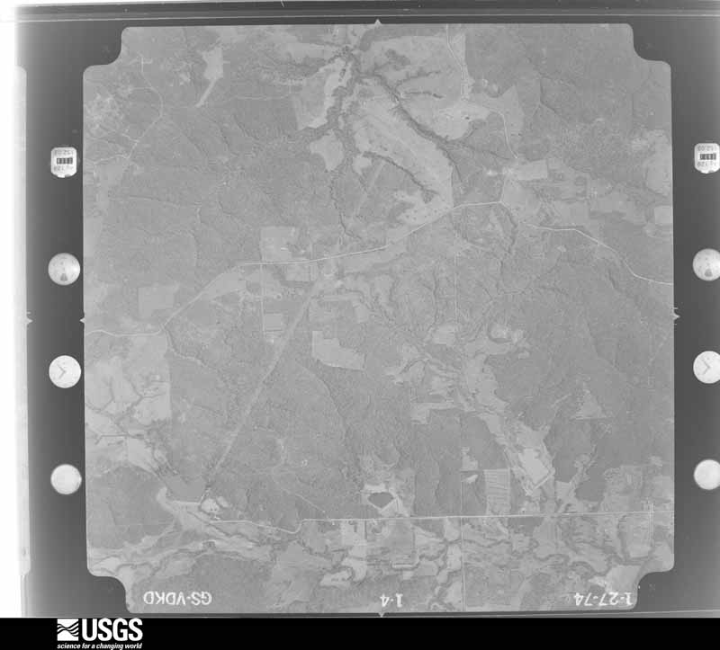
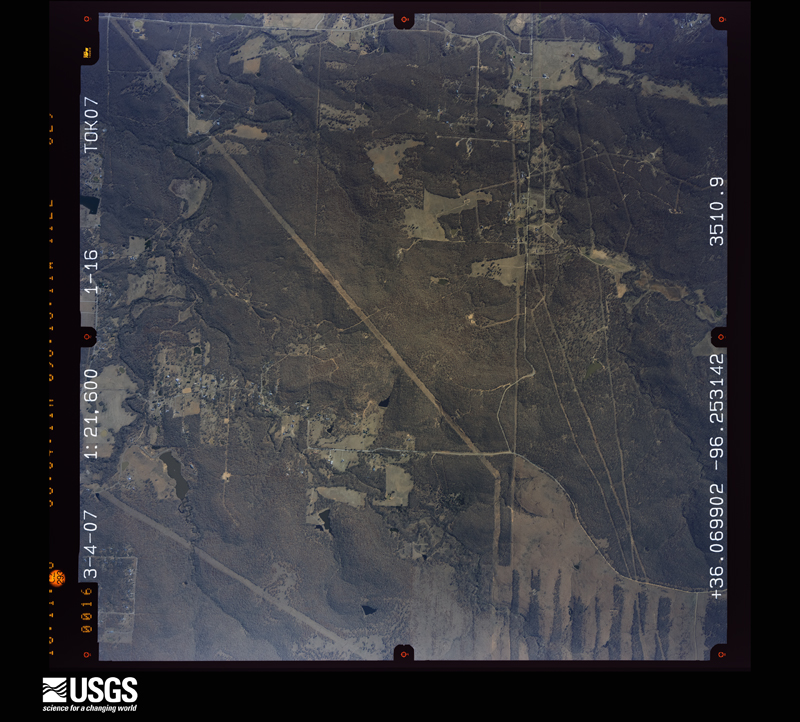
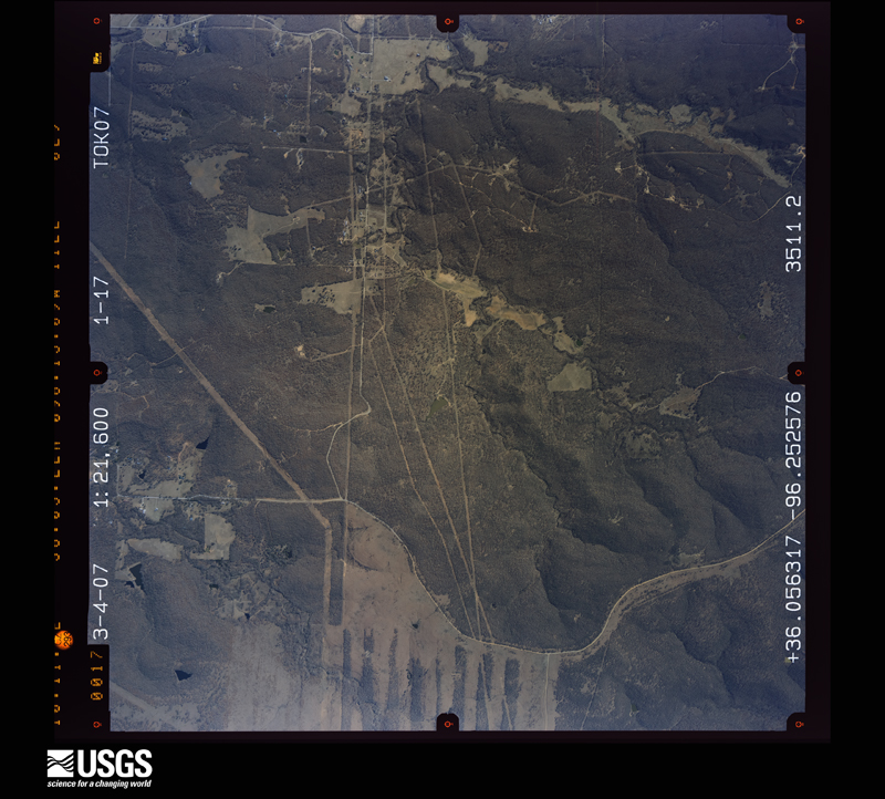
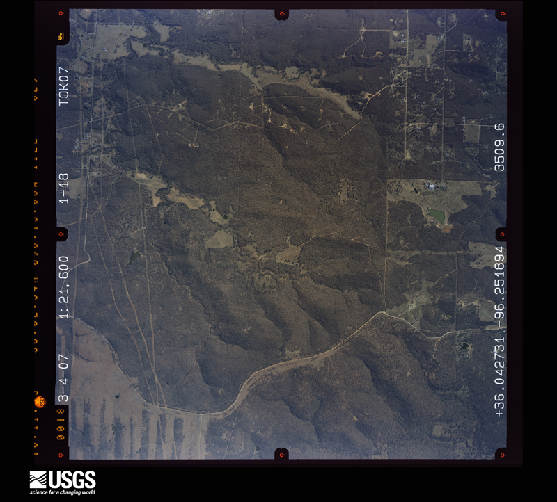
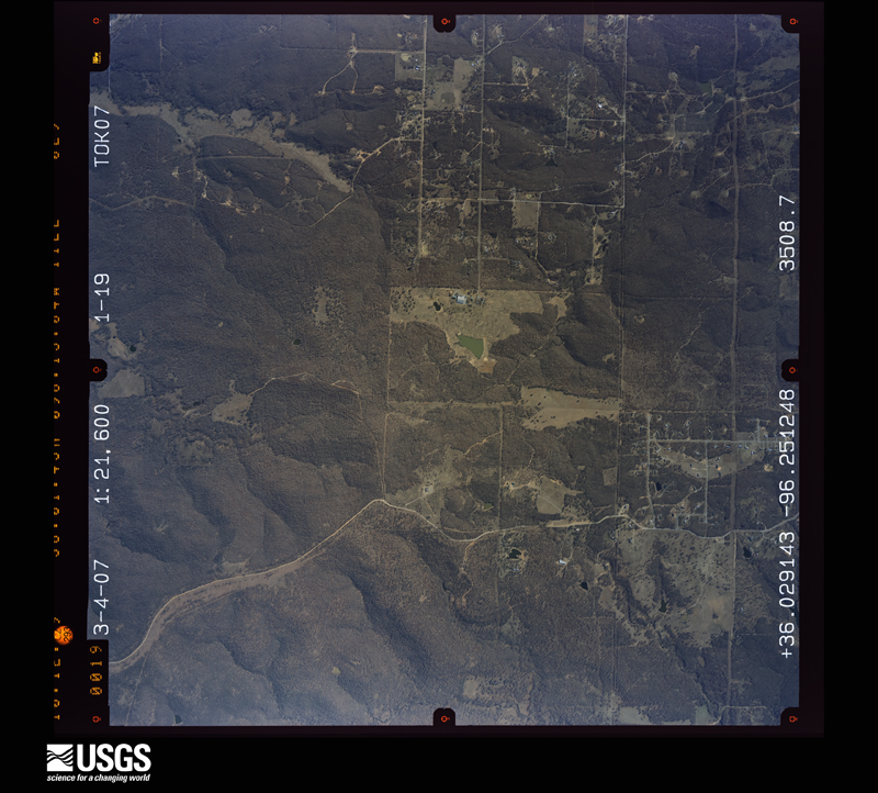
Flown by the U.S. Geological Survey between 1937 and 1989, the Aerial Photo Single Frames collection is the definitive mid-century view of the land: fields, roads and rivers as the camera saw them. The Survey holds 1,458 frames inside the rectangle that bounds this county; the 40 frames below were taken over the county itself, chosen across the decades of flights (at most four a year from that rectangle), so one flight cannot crowd out the rest. The full set is free to browse and download at EarthExplorer under the dataset Aerial Photo Single Frames.




The thermometers that kept this county's weather, and the gages that measured the flow of its streams, as the federal records hold them. The extremes below are measured values from those records, not estimates.
Who lived here in 1950, one enumeration district at a time, as the Census Bureau described each district. Each row opens its official National Archives result, with Population Schedules and ED Maps available there.
Every wildfire the federal occurrence database records inside this county: 263 of them, burning about 203,194 acres. 11 started naturally and 60 were recorded as arson. Each settlement page carries the fires within five miles of it.
| Reported cause | Fires |
|---|---|
| Missing data/not specified/undetermined | 94 |
| Debris and open burning | 71 |
| Arson/incendiarism | 60 |
| Power generation/transmission/distribution | 15 |
| Natural | 11 |
| Equipment and vehicle use | 4 |
| Misuse of fire by a minor | 3 |
| Other causes | 3 |
| Smoking | 2 |
The five largest, by the area the report gives. None of them was recorded as arson.
| Date | Cause | Size | Reported by | Name on the report |
|---|---|---|---|---|
| 2 August 2012 | Smoking | 58,501 acres | Okmulgee Field Office | MCNAC |
| 6 March 2018 | Power generation/transmission/distribution | 8,793 acres | Okmulgee Field Office | LOWE |
| 23 March 2017 | Missing data/not specified/undetermined | 8,500 acres | Oklahoma Division of Forestry | JACKSON RANCH |
| 6 March 2012 | Missing data/not specified/undetermined | 7,722 acres | Okmulgee Field Office | INDIAN ROAD |
| 28 March 2006 | Missing data/not specified/undetermined | 6,730 acres | Oklahoma Division of Forestry | CHARLIE O'BRIEN FIRE |
| 1 March 2017 | Debris and open burning | 6,478 acres | Okmulgee Field Office | SPOCOGEE |
| 11 March 2011 | Debris and open burning | 6,152 acres | Okmulgee Field Office | BRISTOW 48 |
| 18 September 2000 | Missing data/not specified/undetermined | 5,900 acres | Oklahoma Division of Forestry | BRISTOW COMPLEX |
Every settlement page carries the fires within five miles of it - see the settlement index below.
The NOAA Storm Events Database holds 1,035 reports for this county, causing 27 deaths, 294 injuries and about $65,326,790 in recorded property damage. Each settlement page carries the reports that name it.
| Kind of event | Reports |
|---|---|
| Hail | 512 |
| Thunderstorm Wind | 382 |
| Tornado | 78 |
| Flash Flood | 47 |
| Flood | 13 |
| Lightning | 3 |
The most serious of them, by death, then injury, then recorded damage. The accounts are quoted exactly as the forecast office filed them.
| When | Event | Place named | Harm | What the report says |
|---|---|---|---|---|
| June 1974 | Tornado (F4) | not stated | 13 killed, 135 hurt, $2,500,000 | no account filed |
| May 1960 | Tornado (F5) | not stated | 5 killed, 81 hurt, $2,500,000 | no account filed |
| April 1956 | Tornado (F3) | not stated | 5 killed, 38 hurt, $2,500,000 | no account filed |
| May 1976 | Tornado (F1) | not stated | 2 killed, 1 hurt, $25,000 | no account filed |
| June 2023 | Thunderstorm Wind | Oilton | 1 killed, 3 hurt, $50,000 | Strong thunderstorm wind blew down a tree onto a manufactured home. The tree killed a man in the home, and injured three other people. |
| May 2015 | Flood | Sapulpa | 1 killed | Several homes were evacuated by boat near Park and Washington Streets. A man drown in flood water near the intersection of S Hickory Road and W 186th Street S. |
| April 1984 | Tornado (F4) | not stated | 20 hurt, $25,000,000 | no account filed |
| August 2011 | Thunderstorm Wind | Slick | 6 hurt, $75,000 | Strong thunderstorm wind destroyed a mobile home, injuring six people. |
| June 1981 | Tornado (F2) | not stated | 3 hurt, $250,000 | no account filed |
| March 1959 | Tornado (F3) | not stated | 3 hurt, $250,000 | no account filed |
| April 1995 | Thunderstorm Wind | Sapulpa | 1 hurt, $500,000 | no account filed |
| June 1995 | Tornado (F0) | Shamrock | 1 hurt, $15,000 | no account filed |
| July 1995 | Thunderstorm Wind | Drumright | 1 hurt | no account filed |
| March 1985 | Thunderstorm Wind | not stated | 1 hurt | no account filed |
| May 1999 | Tornado (F1) | Sapulpa | $6,500,000 | The same system that earlier caused a destructive tornado in Stroud and a less destructive tornado in southwest Creek County produced an F1 tornado which first touched down in the north side of Sapulpa near OK Hwy 97 and Interstate 44. The tornado then skipped through an industrial area before moving across I-44. From there, the tornado travelled northeast parallel to and just south of the New Sapulpa Road (OK Hwy 66), taking out a string of homes and businesses before eventually reaching Tulsa County. This tornado tracked a total of 7 miles, 5.5 miles of which was in Creek County. The Hilton Mobile Home Park was especially hard-hit, where about 15 mobile homes were damaged or destroyed. Twenty-four residents of the mobile home park were treated on the scene for minor injuries, but none required a hospital visit. Needless to say, this tornado also blew down numerous power lines and trees. All in all, along its path in Creek County, this tornado heavily damaged 12 homes and caused light to moderate damage to about 150 others. Twenty mobile homes were heavily damaged, and 25 businesses were damaged. Total property damage in Creek County is estimated at $5.5 million. For more information on this tornado, see the Tulsa County Tornado entry for information on the last 1.5 miles of its track. |
| May 2000 | Flash Flood | East Portion | $5,000,000 | Heavy rains fell across the eastern part of Creek county during the early morning hours of May 6.6.32 inches of rain was reported at Heyburn Dam and 8.12 inches were measured at Kiefer. The most flood damage was observed in Sapulpa where Rock Creek overflowed its banks. More than 150 homes and 12 businesses were damaged in Sapulpa. An additional 40 homes were evacuated in Kiefer where Childers Creek overflowed in banks. Numerous roads were closed due to the flooding. These roads included the Turner Turnpike between Kellyville and Bristow and Highway 66 south of Kellyville. The damage to roads and bridges in Creek county was estimated at $300,000. |
| April 1984 | Tornado (F4) | not stated | $2,500,000 | no account filed |
| April 1981 | Tornado (F2) | not stated | $2,500,000 | no account filed |
| May 1960 | Tornado (F5) | not stated | $2,500,000 | no account filed |
| May 1954 | Tornado (F4) | not stated | $2,500,000 | no account filed |
| May 2019 | Tornado (EF1) | Sapulpa | $800,000 | This is the first segment of a two-segment tornado. This large tornado developed near the Sapulpa Golf Course and moved east across Sapulpa, roughly between E Taft Avenue and E Dewey Avenue. It crossed Hickory Hill Road and S 49th West Avenue south of the Creek Turnpike, and moved into Tulsa County near W 111th Street S. The tornado damaged the roofs of many homes, damaged businesses, snapped numerous power poles, and snapped or uprooted numerous trees. Based on this damage, maximum estimated wind in this segment of the tornado was 100 to 110 mph. |
| May 2019 | Tornado (EF1) | Kellyville | $750,000 | This is the first segment of a two-segment tornado. This large tornado developed west of Sapulpa, west of the intersection of I-44 and Highway 33. It moved east along Highway 66, then across the northern portion of Sapulpa. It crossed Hickory Hill Road near the Creek Turnpike, and moved into Tulsa County near W 91st Street S. In Creek County, the tornado damaged homes and businesses, snapped and uprooted numerous trees, and blew down power poles. Based on this damage, maximum estimated wind in this segment of the tornado was 100 to 110 mph. |
| May 2016 | Tornado (EF1) | Shamrock | $750,000 | This tornado developed northwest of the intersection of Highway 16 and S 433rd West Avenue, where trees were snapped. A home was severely damaged, multiple outbuildings were destroyed, and trees were snapped south of Highway 16 as the tornado tracked to the southeast. Multiple homes were damaged, outbuildings were destroyed, and numerous trees were snapped or uprooted along W 201st Street S and Highway 16. The tornado then turned sharply to the east and crossed Highway 48 north of Bristow, where large tree limbs were snapped. The tornado dissipated between I-44 and the S 337th West Avenue. Based on this damage, maximum estimated wind in the tornado was 100 to 110 mph. |
| June 2023 | Thunderstorm Wind | Drumright | $531,000 | Thunderstorm wind resulted in at least $531,000 in debris removal and damage to the utility infrastructure across the county during this severe thunderstorm. Some people were without power for over a week. |
| April 2026 | Tornado (EF1) | Hilton | $500,000 | This is the first segment of a two-segment tornado. The tornado developed south of W 81st Street S and just west of S 39th West Avenue. The tornado moved east-northeast damaging the roofs of several homes, some severely, destroying outbuildings, snapping or uprooting numerous trees, and snapping power poles before it crossed into Tulsa County near W 81st Street S. The tornado produced a tornadic debris signature from the KINX WSR-88D. Based on this damage, maximum estimated wind in this segment of the tornado was 100 to 110 mph. |
| August 1993 | Thunderstorm Wind | Mounds | $500,000 | no account filed |
| May 2004 | Tornado (F3) | Depew | $350,000 | A tornado moved from the west northwest of Depew to the north northeast of Depew. At its strongest it produced F3 damage. The F3 rating was based on a 20 foot section of a concrete anchored iron pipe cattle gate being removed from the ground and displaced 30 feet. The gate was anchored by 3 posts. All of the posts were set in 24 inches of concrete. Another tornado formed near and just after this tornado dissipated. The two tornadoes formed a nearly continuous damage path. The damage produced by the two tornadoes in western Creek County included 5 mobile homes destroyed, 2 houses destroyed, and 4 houses with significant roof damage. The path of the second tornado is described in a subsequent entry. |
| May 2019 | Tornado (EF1) | Bellvue | $250,000 | This tornado developed southwest of Kellyville near the intersection of I-44 and Highway 66, and moved east passing south of Kellyville before turning toward the northeast and dissipating east of town. It snapped and uprooted numerous trees, and destroyed outbuildings. Based on this damage, maximum estimated wind in the tornado was 90 to 100 mph. |
| May 2010 | Tornado (EF1) | Sapulpa | $250,000 | A tornado developed on the west side of Sapulpa and moved northeast across the north side of town. The tornado damaged a large metal building structure, severely damaged the roofs of numerous homes, snapped or uprooted numerous trees, and blew down power poles. The estimated peak wind in the tornado based on this damage was 110 mph. This tornado continued into Tulsa County, where it produced EF2 damage. |
| March 1990 | Tornado (F2) | not stated | $250,000 | no account filed |
| May 1990 | Tornado (F1) | not stated | $250,000 | no account filed |
| June 1974 | Tornado (F2) | not stated | $250,000 | no account filed |
| May 1960 | Tornado (F3) | not stated | $250,000 | no account filed |
| May 1960 | Tornado (F3) | not stated | $250,000 | no account filed |
| March 2026 | Tornado (EF1) | Bristow Jones Arpt | $150,000 | The tornado developed approximately four miles northwest of Bristow, west of South 401st West Avenue and north of West 221st Street South. Moving northeast, it crossed South 401st West Avenue, where it destroyed a single-wide mobile home and an outbuilding. As the tornado continued northeast across Highway 16, it uprooted trees and snapped large limbs. At the intersection of Highway 48 and West 181st Street South, the tornado impacted an industrial site, collapsing overhead doors and removing roof sections from two metal buildings. The tornado maintained a northeast track, breaking additional large tree limbs along South 337th West Avenue, before dissipating north of Highway 66. Based on this damage, maximum estimated wind in the tornado was 100 to 110 mph. |
| June 2019 | Thunderstorm Wind | New Mannford | $150,000 | Strong thunderstorm wind destroyed metal grandstands at the football stadium in Mannford. Numerous trees were uprooted across town, and the roofs of numerous homes and businesses were damaged. |
| May 2004 | Tornado (F1) | Depew | $150,000 | This is the tornado mentioned in the previous entry. It formed near and just after the first tornado and traveled mainly through open territory. However, some of the structural damage that was mentioned earlier occurred along its path. |
| October 1998 | Flash Flood | Countywide | $120,000 | Low-lying areas across Creek County were flooded. In Bristow, low spots on several streets were flooded. In Sapulpa, between 15 and 18 homes, as well as a business, along Rock Creek were flooded, and residents of the area had to be evacuated. 161st West Avenue south of W. 81st was closed due to high water. Two teenage boys had to be rescued when their fishing boat capsized in the rain-swollen waters of the Polecat Creek 7 miles south of Sapulpa. A motorist had to be rescued when stranded by high water in the 800 block of West Teel. Firefighters rescued another 6 people trapped in the area of South Independence south of Taft. Several roads and bridges countywide were washed out. |
| May 2024 | Hail | Sapulpa | $100,000 | Hail up to the size of golf balls damaged homes and vehicles. |
| May 2019 | Thunderstorm Wind | Bristow | $100,000 | Strong thunderstorm wind severely damaged a business on the north side of town. |
| May 2008 | Thunderstorm Wind | Sapulpa | $100,000 | Thunderstorm winds estimated at 80 miles an hour blew the roofs off of buildings at Westside Shopping Center. |
| June 2008 | Hail | Mannford | $100,000 | The hail broke many car windshields and damaged the siding of homes. |
| June 2004 | Thunderstorm Wind | Sapulpa | $100,000 | Thunderstorm winds estimated at 70 miles an hour blew down trees. One tree smashed a carport when it fell. The wind also leveled the frame of an addition to church that was under construction. |
| August 2002 | Lightning | Drumright | $100,000 | Lightning started a fire at a tank battery of a petroleum company. The fire spread from the tank it first struck and ultimately destroyed nine steel and fiberglass tanks. |
| November 1999 | Lightning | Sapulpa | $100,000 | Lightning struck an oil storage tank causing an explosion and a resulting fire. Four tanks were burned, two of which were filled with oil. |
| May 2024 | Hail | Sapulpa | $75,000 | Hail up to golf ball size damaged homes and vehicles. |
| June 2023 | Thunderstorm Wind | Bowden | $75,000 | Strong thunderstorm wind blew down large trees, several of which fell onto homes. |
| July 2013 | Thunderstorm Wind | Sapulpa | $75,000 | Strong thunderstorm wind snapped large tree limbs. Many power lines and poles were blown down resulting in widespread power outages. |
| May 2010 | Tornado (EF1) | Milfay | $75,000 | A tornado destroyed or damaged several barns and outbuildings, snapped or uprooted numerous trees, damaged houses, and blew down power poles. The Oklahoma Mesonet station southeast of Bristow was impacted by the tornado and measured 85 mph wind gusts at that point in the path. Damage to homes, trees, and barns suggested maximum wind gusts in the tornado were about 100 mph at times. |
| June 2008 | Hail | Sapulpa | $75,000 | no account filed |
| May 2024 | Hail | Sapulpa | $50,000 | Hail up to hen egg size damaged homes and vehicles. |
| November 2024 | Thunderstorm Wind | Kellyville | $50,000 | Strong thunderstorm wind destroyed a shop, snapped a power pole, and blew down trees. |
| June 2023 | Thunderstorm Wind | New Mannford | $50,000 | Strong thunderstorm wind uprooted large trees, and blew down street signs and power poles. |
| June 2023 | Thunderstorm Wind | Sapulpa | $50,000 | Strong thunderstorm wind blew down trees and power poles, and damaged homes. |
| July 2016 | Thunderstorm Wind | Sapulpa | $50,000 | Strong thunderstorm wind blew much of the roof off of a home. |
| July 2009 | Thunderstorm Wind | Drumright | $50,000 | Thunderstorm winds estimated at 80 miles an hour caused extensive damage in Drumright. Large trees were blown down, several carports were destroyed, shingles were peeled off of several homes, privacy fences were blown down and the fire station lost part of its roof. |
| April 2008 | Hail | Bristow | $50,000 | Golfball size hail damaged automobiles and homes. |
| May 2008 | Thunderstorm Wind | Mounds | $50,000 | Thunderstorm winds estimated at 80 miles an hour blew the roof off a building. |
| July 2005 | Thunderstorm Wind | Depew | $50,000 | Thunderstorm winds estimated at 80 miles an hour caused damage in and just to the north of Depew. In Depew, the roof was blown off a house and numerous large tree limbs were blown down. One mile north of Depew, part of the roof of a barn was blown off, the front porch of a house was blown off, and numerous trees were damaged. |
| April 2004 | Thunderstorm Wind | Silver City | $50,000 | Thunderstorm winds estimated at 80 miles an hour destroyed two mobile homes and uprooted several trees. |
The Survey's mineral resources record lists 50 workings inside this county. 5 still produce and 45 are closed or unrecorded. Each settlement page carries the workings within five miles of it.
| Commodity | Workings |
|---|---|
| Sand and Gravel, Construction | 31 |
| Stone, Crushed/Broken | 11 |
| Clay | 7 |
| Corundum | 1 |
The least common of them first, because a county's hundredth gravel pit says nothing its first ten did not.
| Where | Site | Commodity | Status | Recorded |
|---|---|---|---|---|
| Unknown Shale Pit | Corundum | Past Producer | ||
| Sapulpa Clay Pit | Clay | Producer | ||
| Sugar Loaf Hill Pit | Clay | Producer | ||
| Unknown Shale Pit | Clay | Producer | ||
| Unknown Shale Pit | Clay | Past Producer | ||
| Unknown Shale Pit | Clay | Past Producer | ||
| Unknown Shale Pit | Clay | Past Producer | ||
| Unknown Shale Pit | Clay | Past Producer | ||
| Quapaw Co. Limestone Pits & Plant | Stone, Crushed/Broken | Producer | ||
| Unknown Limestone Pit | Stone, Crushed/Broken | Past Producer | ||
| Unknown Limestone Pit | Stone, Crushed/Broken | Past Producer | ||
| Unknown Limestone Pit | Stone, Crushed/Broken | Past Producer | ||
| Unknown Limestone Pit | Stone, Crushed/Broken | Past Producer | ||
| Unknown Sandstone Pit | Stone, Crushed/Broken | Past Producer | ||
| Unknown Sandstone Pit | Stone, Crushed/Broken | Past Producer | ||
| Unknown Sandstone Pit | Stone, Crushed/Broken | Past Producer | ||
| Unknown Sandstone Pit | Stone, Crushed/Broken | Past Producer | ||
| Unknown Sandstone Pit | Stone, Crushed/Broken | Past Producer | ||
| Unknown Sandstone Pit | Stone, Crushed/Broken | Past Producer | ||
| Unknown Gravel Pit | Sand and Gravel, Construction | Past Producer | ||
| Unknown Gravel Pit | Sand and Gravel, Construction | Past Producer | ||
| Unknown Sand Pit | Sand and Gravel, Construction | Past Producer | ||
| Unknown Sand Pit | Sand and Gravel, Construction | Past Producer | ||
| Unknown Sand Pit | Sand and Gravel, Construction | Past Producer | ||
| Unknown Sand Pit | Sand and Gravel, Construction | Past Producer | ||
| Unknown Sand Pit | Sand and Gravel, Construction | Past Producer | ||
| Unknown Sand Pit | Sand and Gravel, Construction | Past Producer | ||
| Unknown Sand Pit | Sand and Gravel, Construction | Past Producer | ||
| Unknown Sand Pit | Sand and Gravel, Construction | Past Producer | ||
| Unknown Sand Pit | Sand and Gravel, Construction | Past Producer | ||
| Unknown Sand Pit | Sand and Gravel, Construction | Producer | ||
| Unknown Sand Pit | Sand and Gravel, Construction | Past Producer | ||
| Unknown Sand Pit | Sand and Gravel, Construction | Past Producer | ||
| Unknown Sand Pit | Sand and Gravel, Construction | Past Producer | ||
| Unknown Sand Pit | Sand and Gravel, Construction | Past Producer | ||
| Unknown Sand Pit | Sand and Gravel, Construction | Past Producer | ||
| Unknown Sand Pit | Sand and Gravel, Construction | Past Producer | ||
| Unknown Sand Pit | Sand and Gravel, Construction | Past Producer | ||
| Unknown Sand Pit | Sand and Gravel, Construction | Past Producer | ||
| Unknown Sand Pit | Sand and Gravel, Construction | Past Producer | ||
| Unknown Sand Pit | Sand and Gravel, Construction | Past Producer | ||
| Unknown Sand Pit | Sand and Gravel, Construction | Past Producer | ||
| Unknown Sand Pit | Sand and Gravel, Construction | Past Producer | ||
| Unknown Sand Pit | Sand and Gravel, Construction | Past Producer | ||
| Unknown Sand Pit | Sand and Gravel, Construction | Past Producer | ||
| Unknown Sand Pit | Sand and Gravel, Construction | Past Producer | ||
| Unknown Sand Pit | Sand and Gravel, Construction | Past Producer | ||
| Unknown Sand Pit | Sand and Gravel, Construction | Past Producer | ||
| Unknown Sand Pit | Sand and Gravel, Construction | Past Producer | ||
| Unknown Sand Pit | Sand and Gravel, Construction | Past Producer |
Named settlements recorded in the Geographic Names Information System, each with the topographic sheets covering it. Villages, hamlets and abandoned places alike. Each is shown with the nearest named watercourse or landform and the survey quadrangle it falls on. The 9 places that were also surveyed for fire insurance come first, with the number of atlases and photographs held for them.
Bristow census division · 74010 · On Catfish Creek · Bristow quadrangle
16 sheets, 1901 to 1990
Fire insurance: 6 atlases
Bristow South census division · 74028 · Depew quadrangle
11 sheets, 1931 to 1990
Fire insurance: 3 atlases
Sapulpa census division · 74041 · Sapulpa South quadrangle
20 sheets, 1901 to 1990
Fire insurance: 2 atlases
Sapulpa census division · 74047 · Sapulpa South quadrangle
20 sheets, 1901 to 1990
Fire insurance: 6 atlases
Keystone Lake census division · 74052 · On Deer Creek · Oilton quadrangle
12 sheets, 1929 to 1990
Fire insurance: 3 atlases
Sapulpa census division · 74066 · On Biven Creek · Sapulpa South quadrangle
20 sheets, 1901 to 1990
Fire insurance: 9 atlases
Shamrock-Heyburn Lake census division · 74068 · Drumright quadrangle
11 sheets, 1931 to 1990
Fire insurance: 2 atlases
Kellyville-Slick census division · 74010 · On Chicken Creek · Slick quadrangle
17 sheets, 1901 to 1990
Fire insurance: 2 atlases
Kellyville-Slick census division · 74010 · On Comelys Branch · Nuyaka quadrangle
11 sheets, 1901 to 1990
Kellyville-Slick census division · 74039 · On Neversweat Creek · Heyburn Reservoir quadrangle
16 sheets, 1901 to 1990
Keystone Lake census division · 74044 · On Cottonwood Creek · Olive quadrangle
13 sheets, 1912 to 1990
Keystone Lake census division · 74044 · On Little Salt Creek · Keystone Dam quadrangle
14 sheets, 1912 to 1990
Bristow South census division · 74046 · On Camp Creek · Depew quadrangle
11 sheets, 1931 to 1990
Keystone Lake census division · 74044 · On Little Salt Creek · Mannford SE quadrangle
13 sheets, 1912 to 1990
Bristow South census division · 74010 · On East Fork Sandy Creek · Newby quadrangle
11 sheets, 1901 to 1990
Drumright census division · 74030 · On Tiger Creek · Oilton quadrangle
12 sheets, 1929 to 1990
Keystone Lake census division · 74038 · On Deer Creek · Oilton quadrangle
12 sheets, 1929 to 1990
Bristow census division · 74010 · On Swan Creek · Bristow quadrangle
16 sheets, 1901 to 1990
Bristow South census division · 74028 · Ritts Junction quadrangle
10 sheets, 1929 to 1990
Kellyville-Slick census division · 74010 · On Skull Creek · Slick quadrangle
17 sheets, 1901 to 1990
20 topographic sheets and 9 fire insurance atlases, 1898 to 1961
16 topographic sheets and 6 fire insurance atlases, 1904 to 1961
20 topographic sheets and 6 fire insurance atlases, 1901 to 1923
11 topographic sheets and 3 fire insurance atlases, 1915 to 1923
0 topographic sheets and 3 fire insurance atlases, 1918 to 1951
12 topographic sheets and 3 fire insurance atlases, 1919 to 1924
20 topographic sheets and 2 fire insurance atlases, 1919
11 topographic sheets and 2 fire insurance atlases, 1923