 Block
From the record
6 National Register listings published here.
Sources: the National Register database, National Park Service
52 topographic sheets and 3 fire insurance atlases across 1 place.
6 National Register listings published here.
Sources: the National Register database, National Park Service
Taken for the Office of War Information and the Farm Security Administration, who photographed the country between 1935 and 1944. Works of United States government photographers, with no known restriction on use. Each opens its catalogue record.
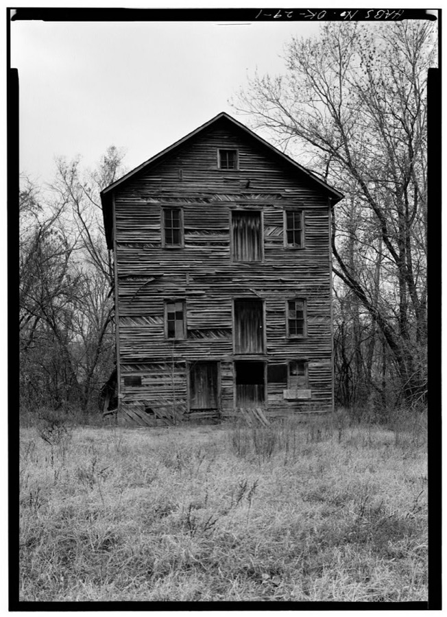
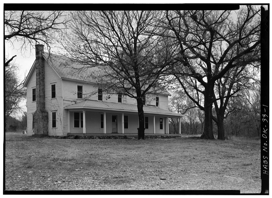
Every property in this county listed on the National Register of Historic Places, with the year it was listed and the federal nomination document.
| Photograph | Property | Type | Listed | Reference |
|---|---|---|---|---|
 | Corey House/Hotel | building | 1982 | 82001495 |
| Delaware School, District No. 64 | building | 2023 | 100009663 | |
 | Hildebrand Mill | building | 1972 | 72001062 |
| Polson Cemetery | site | 1977 | 77001092 | |
 | Saline District Courthouse | building | 1976 | 76001561 |
 | Splitlog Church | building | 1972 | 72001061 |
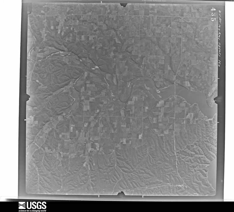
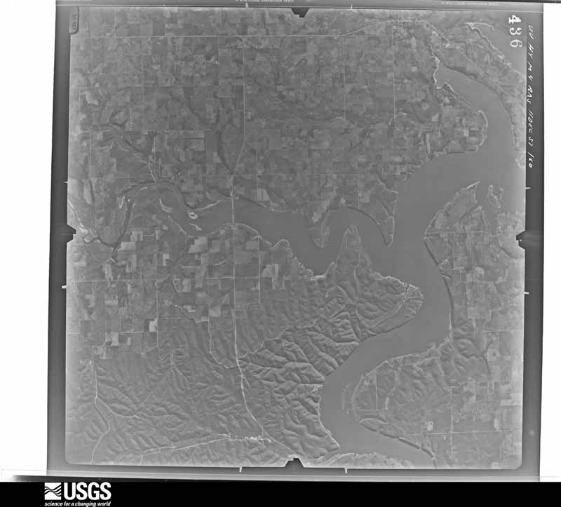
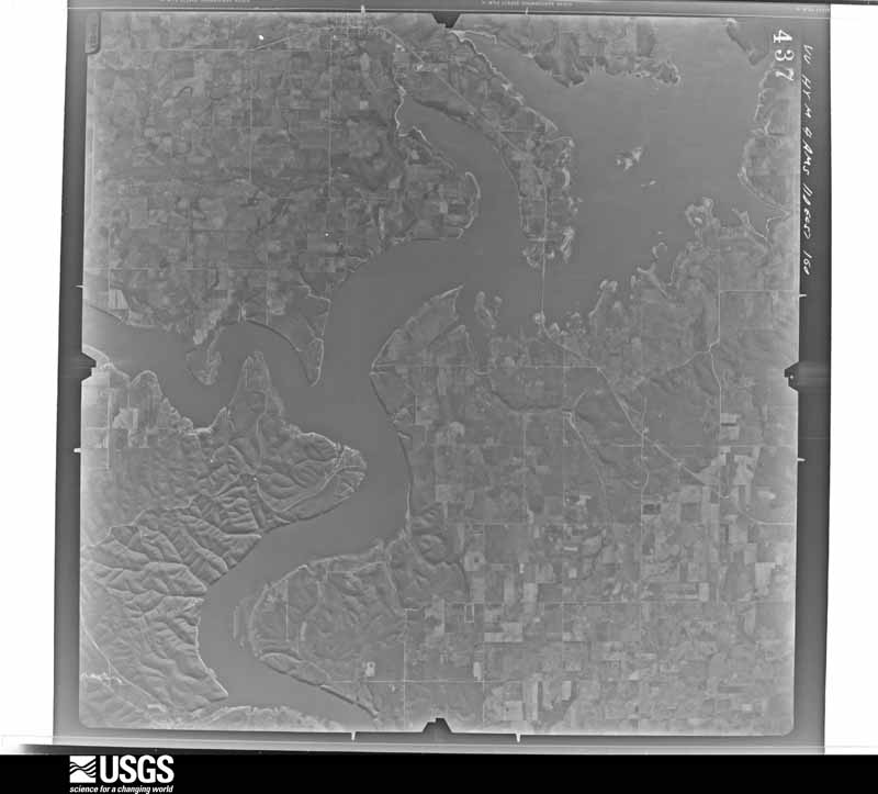
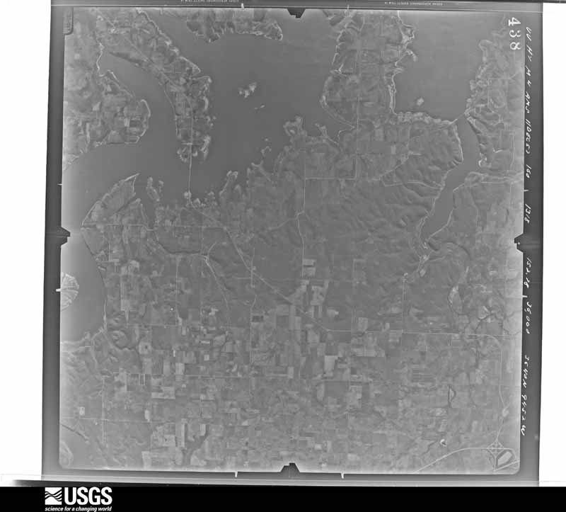
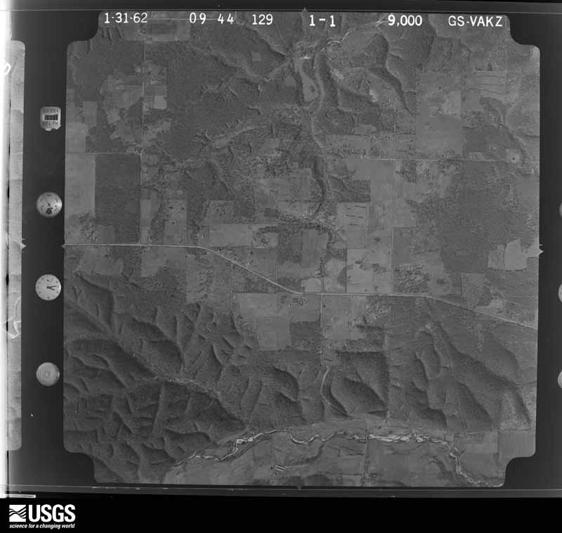
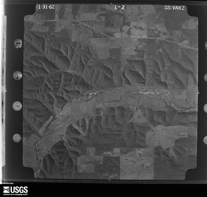
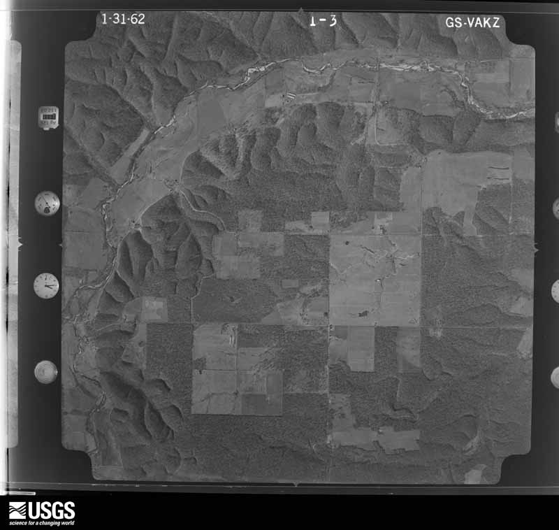
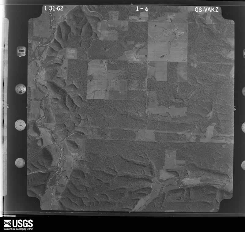
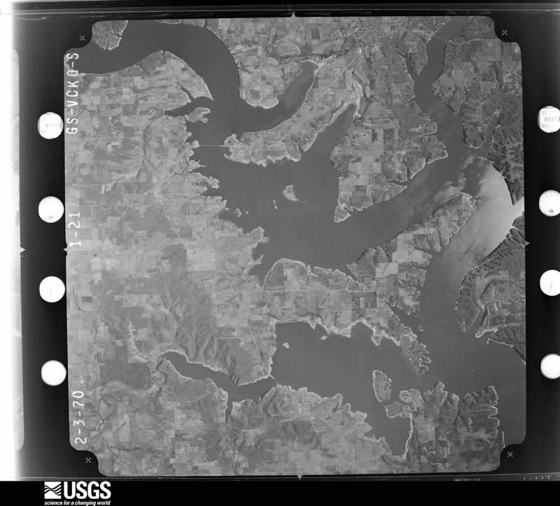
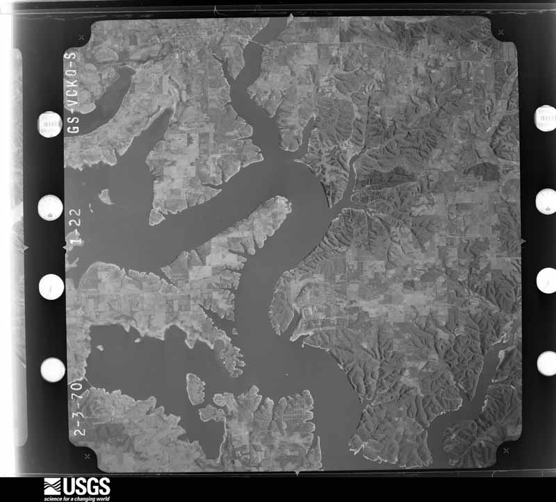
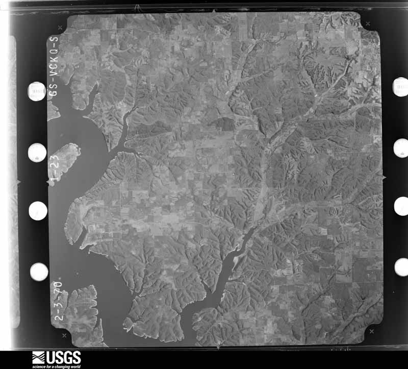
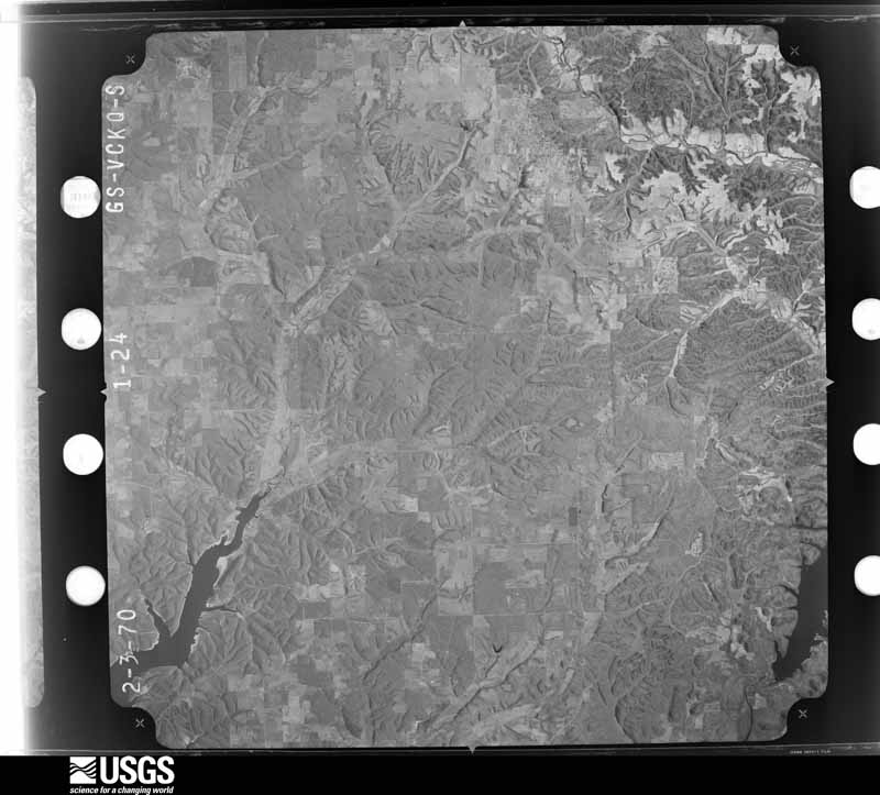
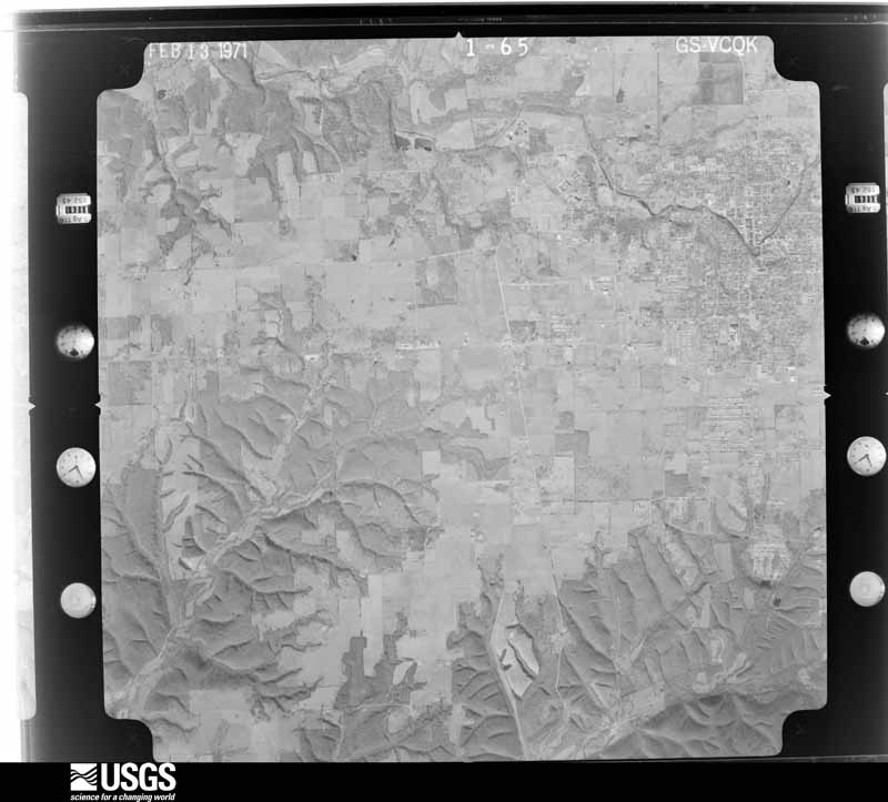
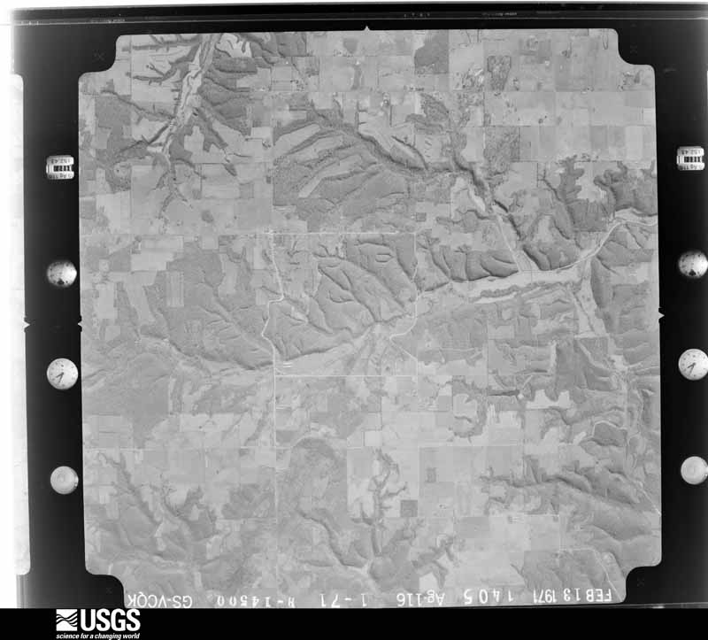
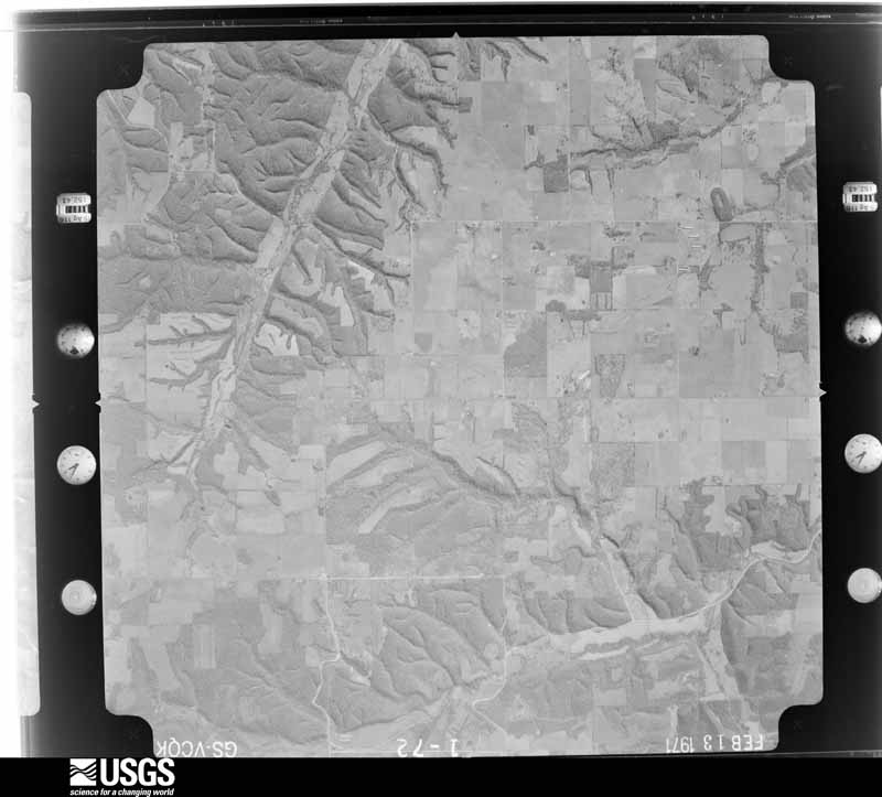
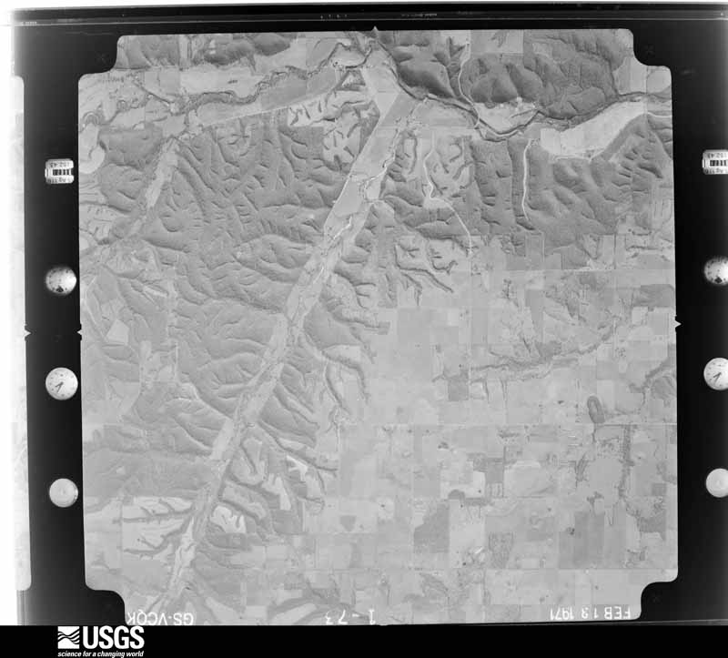
Flown by the U.S. Geological Survey between 1937 and 1989, the Aerial Photo Single Frames collection is the definitive mid-century view of the land: fields, roads and rivers as the camera saw them. The Survey holds 593 frames inside the rectangle that bounds this county; the 16 frames below were taken over the county itself, chosen across the decades of flights (at most four a year from that rectangle), so one flight cannot crowd out the rest. The full set is free to browse and download at EarthExplorer under the dataset Aerial Photo Single Frames.
The thermometers that kept this county's weather, and the gages that measured the flow of its streams, as the federal records hold them. The extremes below are measured values from those records, not estimates.
Who lived here in 1950, one enumeration district at a time, as the Census Bureau described each district. Each row opens its official National Archives result, with Population Schedules and ED Maps available there.
Every wildfire the federal occurrence database records inside this county: 3,089 of them, burning about 78,356 acres. 85 started naturally and 1,323 were recorded as arson. Each settlement page carries the fires within five miles of it.
| Reported cause | Fires |
|---|---|
| Arson/incendiarism | 1323 |
| Missing data/not specified/undetermined | 1072 |
| Debris and open burning | 346 |
| Equipment and vehicle use | 97 |
| Natural | 85 |
| Recreation and ceremony | 70 |
| Smoking | 41 |
| Railroad operations and maintenance | 26 |
| Misuse of fire by a minor | 25 |
| Power generation/transmission/distribution | 3 |
| Fireworks | 1 |
The five largest, by the area the report gives. Five of them were set deliberately.
| Date | Cause | Size | Reported by | Name on the report |
|---|---|---|---|---|
| 2 April 2001 | Missing data/not specified/undetermined | 1,500 acres | Oklahoma Division of Forestry | A-ROAD |
| 18 March 1994 | Missing data/not specified/undetermined | 1,010 acres | Oklahoma Division of Forestry | not named |
| 17 March 1994 | Missing data/not specified/undetermined | 1,000 acres | Oklahoma Division of Forestry | not named |
| 7 April 2001 | Arson/incendiarism | 850 acres | Oklahoma Division of Forestry | not named |
| 2 April 2003 | Arson/incendiarism | 800 acres | Oklahoma Division of Forestry | 30395 |
| 28 February 2000 | Arson/incendiarism | 800 acres | Oklahoma Division of Forestry | not named |
| 27 March 2001 | Arson/incendiarism | 774 acres | Oklahoma Division of Forestry | not named |
| 7 April 2001 | Arson/incendiarism | 750 acres | Cherokee Nation Tribe | BULLHLWRD |
Every settlement page carries the fires within five miles of it - see the settlement index below.
The NOAA Storm Events Database holds 637 reports for this county, causing 1 death, 29 injuries and about $20,626,930 in recorded property damage. Each settlement page carries the reports that name it.
| Kind of event | Reports |
|---|---|
| Thunderstorm Wind | 268 |
| Hail | 261 |
| Tornado | 66 |
| Flash Flood | 34 |
| Flood | 6 |
| Lightning | 2 |
The most serious of them, by death, then injury, then recorded damage. The accounts are quoted exactly as the forecast office filed them.
| When | Event | Place named | Harm | What the report says |
|---|---|---|---|---|
| February 2008 | Flash Flood | Jay | 1 killed | Runoff from locally heavy rainfall resulted in the flooding of several low water crossings to the east and north of Jay. A man was drowned when he tried to drive through flood waters flowing through one of these low water crossings. |
| May 2011 | Tornado (EF2) | Moseley | 12 hurt, $400,000 | A tornado destroyed six mobile homes, injuring twelve people, and rolled several vehicles. A number of large trees were snapped or uprooted and a barn was destroyed by the tornado. Maximum estimated wind in the tornado based on this damage was about 125 mph. |
| March 2006 | Tornado (F3) | Leach | 8 hurt, $3,000,000 | The first tornado, which touched down in northwestern Cherokee County, continued into southern Delaware County. Damage suggested the tornado widened and strengthened as it moved through southern Delaware County reaching a maximum width of around 1/4 of a mile. The tornado damaged 95 homes, destroying 42 of those homes. Five businesses were also damaged. Numerous trees were snapped or uprooted and about 100 power poles were downed, which resulted in more than 5000 people losing power as a result of the storm. The worst damage from this tornado was found from near Twin Oaks to about 4 miles west-southwest of Colcord. The tornado injured eight people. |
| April 2011 | Tornado (EF2) | Eucha | 3 hurt, $100,000 | A tornado destroyed a mobile home, injuring three people. Several other mobile homes were severely damaged. Trees were snapped or uprooted. Maximum estimated wind in the tornado based on this damage was about 125 mph. |
| May 2011 | Tornado (EF3) | Dennis | 2 hurt, $1,000,000 | This is the first of two segments of this tornado. The tornado developed about 2.5 miles west-southwest of Zena, moved east-northeast across Grand Lake and then south of Zena crossing Highway 59 just north of the intersection with Highway 127. Permanent homes were damaged, barns and outbuildings were destroyed, mobile homes were severely damaged, and large trees were snapped or uprooted. The intensity and width of the tornado increased east of Highway 59 where several permanent homes were severely damaged, two double wide mobile homes were destroyed with only small pieces of debris remaining hundreds of yards from the homesite, and many large trees were snapped or uprooted. This extent of damage continued to the state line where a permanent home was severely damaged, two mobile homes were destroyed, and a steel-framed building was destroyed. Two people were injured in the permanent home. Maximum estimated wind in the tornado based on this damage was about 140 mph. The tornado continued into McDonald County, Missouri for about another mile before dissipating. |
| May 2003 | Tornado (F1) | Flint | 2 hurt, $1,000,000 | A F1 tornado touched down near Flint on Flint Creek or about 5 miles east southeast of community of Kansas. The tornado was on the ground for 3.2 miles and was 200 yards wide. Approximated 30-40 mobile homes and travel trailers were damaged or destroyed. Several automobiles were also damaged.Two people were taken to a hospital due to injuries. However, they were released later in the day. |
| May 1989 | Tornado (F2) | not stated | 1 hurt, $250,000 | no account filed |
| November 1987 | Thunderstorm Wind | not stated | 1 hurt | no account filed |
| April 1984 | Tornado (F2) | not stated | $2,500,000 | no account filed |
| April 1980 | Tornado (F3) | not stated | $2,500,000 | no account filed |
| May 2011 | Tornado (EF2) | Cleora | $1,000,000 | A tornado severely damaged several permanent homes, destroyed boat docks, damaged a number of other permanent homes, destroyed at least seven mobile homes, and snapped or uprooted many large trees. Maximum estimated wind in the tornado based on this damage was about 130 mph. ||The tornado developed south of Cleora and moved almost due east over land. It then moved across a portion of Grand Lake and back over land north of Dennis, where it appeared to move sharply to the southeast across the northern portion of a peninsula. It likely then moved back over Grand Lake where it dissipated. Storm chasers, storm spotters, and a number of citizens witnessed this tornado. |
| March 2006 | Tornado (F1) | Colcord | $750,000 | The supercell thunderstorm cycled and a second tornado formed southeast of Colcord while the first tornado was dissipating northeast of town. The second tornado destroyed two chicken houses, damaged homes, destroyed outbuildings, snapped or uprooted numerous trees, and downed power poles.This tornado continued into Benton County, Arkansas from about two miles south of Cherokee City to four miles southwest of Bentonville, producing up to F3 damage on the Fujita Scale. See Storm Data for Arkansas, Northwest for details concerning the Benton County segment. |
| May 2019 | Tornado (EF2) | Jay | $500,000 | This is the first segment of a two-segment tornado. The tornado developed on the west side of Jay and moved northeast severely damaging two homes and snapping numerous trees and power poles near Highway 59. The tornado continued northeast, destroying two mobile homes and snapping trees and power poles near the intersection of the E 380 Road and S 630 Road. It then moved northeast across heavily wooded terrain, crossed the E 340 Road, and then the E 290 Road. Trees were uprooted, large tree limbs were snapped, power poles were blown down, and outbuildings were damaged by the tornado throughout this wide and lengthy portion of the path. Based on this damage, maximum estimated wind in this segment of the tornado was 110 to 120 mph. It was observed by multiple people and produced a radar-detected debris signature. The tornado continued into McDonald County, Missouri. |
| May 1993 | Tornado (F0) | not stated | $500,000 | An isolated severe thunderstorm developed in Delaware County during the early afternoon of May 30th. This storm produced a tornado which first touched down eight miles east of Jay at 1250 CST. The tornado moved southeast, destroying two equipment sheds and damaging one other equipment shed 9.5 miles east of Jay. The tornado continued southeast, and damaged a chicken house 11 miles east southeast of Jay before lifting at 1258 CST. Several trees were also downed along the path of the tornado. This F0 tornado remained on the ground for three miles and was 100 yards wide. Damage caused by the tornado was estimated to be up to $100,000. |
| April 1995 | Thunderstorm Wind | West Siloam | $500,000 | no account filed |
| April 2013 | Tornado (EF2) | Zena | $400,000 | This tornado developed along the leading edge of the bow echo. Near the beginning of its track, it destroyed a large swath of hardwood trees and severely damaged a home. Several other homes were damaged by the tornado, barns and outbuildings were destroyed, and power poles were snapped. Based on this damage, maximum estimated wind in the tornado was 115 to 125 mph. |
| June 2023 | Thunderstorm Wind | Leach | $340,000 | Thunderstorm wind resulted in at least $340,000 in debris removal and damage to the utility infrastructure across the county during this severe thunderstorm. |
| March 2020 | Hail | Grove | $250,000 | Large hail damaged vehicles, and the roofs of homes and businesses. |
| March 2020 | Hail | Cleora | $250,000 | Large hail damaged vehicles, boats, boat docks, and the roofs of homes and businesses. |
| May 2019 | Thunderstorm Wind | Bernice | $250,000 | Strong thunderstorm wind destroyed boat docks and sunk boats at Monkey Island. |
| May 2011 | Tornado (EF2) | Flint | $250,000 | This is the second of two segments of this tornado. In Delaware County, this tornado severely damaged several homes in the Fiddler's Bend area and snapped or uprooted many trees. Maximum estimated wind in the tornado based on this damage was about 115 mph. Several citizens witnessed this tornado. |
| May 2011 | Tornado (EF1) | Bernice | $250,000 | A tornado severely damaged a marina, damaged a number of boats, damaged a metal building, rolled trailers, and uprooted a number of trees. Maximum estimated wind in the tornado based on this damage was about 100 mph. |
| October 1991 | Tornado (F1) | not stated | $250,000 | no account filed |
| April 1980 | Tornado (F2) | not stated | $250,000 | no account filed |
| June 1974 | Tornado (F3) | not stated | $250,000 | no account filed |
| May 1971 | Tornado (F2) | not stated | $250,000 | no account filed |
| May 1959 | Tornado (F3) | not stated | $250,000 | no account filed |
| April 2025 | Tornado (EF1) | Grove | $150,000 | A tornado developed east of Monkey Island on Grand Lake o' the Cherokees. There is video of this tornado over the lake. The tornado moved northeast across Patricia Island, uprooting a couple trees and snapping large tree limbs. More large tree limbs and a few trees were uprooted near Highway 59. The tornado widened as it approached the S 620 Road, where the roof of a metal building system was damaged and trees were uprooted. The tornado continued to widen as it approached Grove Municipal Airport. Outbuildings were severely damaged, homes were damaged, and trees were snapped or uprooted near the airport. There is video of the tornado as it moved across the north side of the airport, damaging outbuildings. The tornado crossed Highway 10 and dissipated north of the E 280 Road. Based on this damage, maximum estimated wind in the tornado was 90 to 100 mph. |
| May 2024 | Tornado (EF1) | Row | $150,000 | This is the first segment of a two-segment tornado. This tornado developed north of County Road 500 and west of S 712 Road, about a mile and a half from the state line. It damaged several homes, destroyed outbuildings, snapped and uprooted trees, and snapped power poles as it moved northeast into Arkansas, crossing near Welch Road. This tornado produced a tornadic debris signature from KINX and KSRX WSR-88Ds. Based on this damage, maximum estimated wind in this segment of the tornado was 100 to 110 mph. |
| May 2019 | Tornado (EF2) | Leach | $150,000 | This is the second segment of a two-segment tornado. This large tornado moved into the far southwestern portion of Delaware County and moved northeast toward Leach. It damaged homes, destroyed outbuildings, and snapped or uprooted many trees. The tornado crossed the Cherokee Turnpike west of Twin Oaks and dissipated. Based on this damage, maximum estimated wind in this segment of the tornado was 110 to 120 mph. |
| April 2025 | Tornado (EF1) | Jay | $100,000 | This tornado developed along the E 380 Road, west of Highway 59, where trees were uprooted and large tree limbs were snapped. The tornado moved east-southeast. Numerous trees were uprooted or snapped, several homes were damaged, and several outbuildings were destroyed when it moved across Highway 59, through the S 640 Road. The tornado turned to the southeast after moving through Yellow Bird Hollow, and uprooted trees and snapped large tree limbs along the E 390 Road and S 670 Road. It dissipated east of the S 680 Road. Based on this damage, maximum estimated wind in the tornado was 95 to 100 mph. |
| May 2024 | Thunderstorm Wind | Colcord | $100,000 | Strong thunderstorm wind uprooted trees, snapped large tree limbs, damaged the roofs of homes, blew down power lines, and destroyed outbuildings in a broad swath from west of Colcord to west of Cherokee City, AR. |
| September 2023 | Thunderstorm Wind | Grove | $100,000 | Strong thunderstorm wind damaged boats, and the boat dock, at the Grand Lake Sailing Club. |
| May 2019 | Tornado (EF1) | Cleora | $100,000 | This is the second segment of a two-segment tornado. This large tornado moved into Delaware County near the E 280 Road, where trees were uprooted. It moved northeast snapping and uprooting numerous trees, snapping power poles, destroying outbuildings, and damaging homes until it dissipated on Grand Lake near the Ottawa County line. Based on this damage, maximum estimated wind in this segment of the tornado was 100 to 110 mph. |
| April 2016 | Tornado (EF1) | Twin Oaks | $100,000 | This tornado destroyed outbuildings, damaged the roofs of homes, snapped or uprooted trees, and blew down power poles. Based on this damage, maximum estimated wind in the tornado was 90 to 100 mph. |
| May 2003 | Thunderstorm Wind | Grove | $100,000 | Thunderstorm winds estimated at 80 miles an hour blew down between 150 and 200 trees along Grand Lake to the northwest of Grove. The winds also damaged several boat docks and did minor damage to some houses and cabins. |
| April 2019 | Tornado (EF1) | Bernice | $75,000 | This is the first segment of a two-segment tornado. In Delaware County, this large tornado developed south of the E 260 Road and west of the S 4520 Road. It moved northeast snapping and uprooting numerous trees, damaging a home, damaging barns and outbuildings, and snapping power poles. The tornado was observed by multiple people. Based on this damage, maximum estimated wind in this segment of the tornado was 90 to 100 mph. The tornado continued into Ottawa County. |
| April 2015 | Tornado (EF1) | Bernice | $75,000 | This is the third of three segments of this tornado. The tornado crossed into Delaware County near the S 520 Road. Trees were snapped or uprooted, barns and outbuildings were damaged, and homes were damaged as it approached the north end of Grand Lake from the west-northwest. It destroyed a private boat dock on the lake then moved through a community of houses to the east of the lake, resulting in damage to the roofs of homes as well as tree damage. The tornado dissipated to the east of this community in open country. Based on this damage, estimated maximum wind in this segment of the tornado was 95 to 105 mph. |
| July 2015 | Flash Flood | Jay | $75,000 | A business and several homes were flooded in Jay. Portions of Highway 59 were flooded and closed. |
| June 2000 | Flash Flood | Countywide | $75,000 | Heavy thunderstorm rains caused flooding throughout Delaware county. Highway 412 to the west of West Siloam Springs was flooded as were the streets in the city of Jay. The bulk of the damage occured to rural roads and bridges. |
| April 2026 | Hail | Kansas | $50,000 | Large hail up to golf ball size damaged homes and vehicles. |
| September 2023 | Thunderstorm Wind | Grove | $50,000 | Strong thunderstorm wind caused extensive damage to a storage building, and damaged a boat dock. |
| March 2020 | Hail | Zena | $50,000 | Large hail damaged vehicles, and the roofs of homes. |
| March 2020 | Hail | Zena | $50,000 | Large hail damaged vehicles, and the roofs of homes. |
| July 2020 | Hail | Grove | $50,000 | Golf ball size hail damaged vehicles, homes, and businesses. |
| May 2019 | Thunderstorm Wind | Grove | $50,000 | Strong thunderstorm wind damaged boats docks on Grand Lake near Highway 59. |
| May 2019 | Tornado (EF1) | Leach | $50,000 | This tornado damaged homes, destroyed outbuildings, and uprooted trees. It developed as the Peggs/Leach tornado was dissipating, and moved east-northeast across the end of the earlier tornado's path. Based on this damage, maximum estimated wind in the tornado was 85 to 95 mph. |
| November 2018 | Tornado (EF1) | Flint | $50,000 | This is the final segment of a six segment tornado. This long-track tornado moved into Delaware County southwest of Dripping Springs and Natural Falls State Park, where trees were uprooted. The tornado tracked north-northeast damaging a few homes, destroying a couple outbuildings, and snapping and uprooting trees as it crossed Highway 412. It dissipated southeast of Colcord. Based on this damage, maximum estimated wind in this segment of the tornado was 95 to 105 mph. |
| May 2015 | Tornado (EF1) | Cleora | $50,000 | This is the second segment of a two segment tornado. In Delaware County, this tornado destroyed several barns and outbuildings, snapped or uprooted trees, and blew down power poles. Based on this damage, maximum estimated wind in this segment of the tornado was 95 to 105 mph. |
| September 2010 | Flash Flood | Row | $50,000 | Several county roads were damaged by flooding in the southern portion of the county. |
| March 2008 | Flash Flood | Leach | $50,000 | Heavy rain caused numerous secondary roads across a large part of Delaware County to be closed due to flooding. Flooding along Flint Creek just west of West Siloam Springs resulted in a housing development being flooded. 14 residents had to be evacuated. |
| May 2003 | Thunderstorm Wind | Grove | $50,000 | Thunderstorm winds estimated at 70 miles an hour blew down 5 trees. A few of the trees blocked streets and fell on houses causing damage. |
| October 2002 | Lightning | Grove | $50,000 | Lightning struck the police station and a nearby house. The lightning did $10,000 damage to the police station. When the lightning struck the house it caused a fire which gutted the house. The damage estimated done to the house was $40,000. |
| August 2001 | Lightning | Grove | $50,000 | Lightning struck a house in Grove. The resulting fire destroyed the house. |
| April 1995 | Thunderstorm Wind | West Siloam | $50,000 | no account filed |
| April 1995 | Thunderstorm Wind | West Siloam | $50,000 | no account filed |
| September 1993 | Thunderstorm Wind | Cherokee | $50,000 | no account filed |
| April 1993 | Thunderstorm Wind | Leach | $50,000 | no account filed |
| April 1993 | Thunderstorm Wind | Leach | $50,000 | no account filed |
| May 2024 | Hail | Copeland | $40,000 | Golf ball size hail damaged homes and vehicles. |
The Survey's mineral resources record lists 7 workings inside this county. None of them still produces: all are closed or unrecorded. Each settlement page carries the workings within five miles of it.
| Commodity | Workings |
|---|---|
| Sand and Gravel, Construction | 6 |
| Uranium, Platinum | 1 |
The least common of them first, because a county's hundredth gravel pit says nothing its first ten did not.
| Where | Site | Commodity | Status | Recorded |
|---|---|---|---|---|
| Woodruff Farm | Uranium, Platinum | Occurrence | ||
| Robert Longan Gravel Pit | Sand and Gravel, Construction | Past Producer | ||
| Unknown Gravel Pit | Sand and Gravel, Construction | Past Producer | ||
| Unknown Gravel Pit | Sand and Gravel, Construction | Past Producer | ||
| Unknown Gravel Pit | Sand and Gravel, Construction | Past Producer | ||
| Unknown Gravel Pit | Sand and Gravel, Construction | Past Producer | ||
| Unknown Gravel Pit | Sand and Gravel, Construction | Past Producer |
Named settlements recorded in the Geographic Names Information System, each with the topographic sheets covering it. Villages, hamlets and abandoned places alike. Each is shown with the nearest named watercourse or landform and the survey quadrangle it falls on. The 1 place that was also surveyed for fire insurance comes first, with the number of atlases and photographs held for them.
Grove census division · 74344 · On Spring Branch · Grove quadrangle
14 sheets, 1907 to 1986
Fire insurance: 3 atlases
Colcord census division · 74338 · Near Fivemile Hollow · Siloam Springs NW quadrangle
19 sheets, 1899 to 1979
Kansas census division · 74365 · Near Big Acorn Hollow · Lake Eucha West quadrangle
19 sheets, 1899 to 1979
Grove census division · 74331 · On Hickory Creek · Afton NE quadrangle
14 sheets, 1907 to 1986
Jay census division · 74346 · Near Sweetwater Hollow · Bernice quadrangle
14 sheets, 1907 to 1986
Colcord census division · 74338 · Siloam Springs NW quadrangle
19 sheets, 1899 to 1979
Colcord census division · 74347 · Near Fivemile Hollow · Siloam Springs NW quadrangle
19 sheets, 1899 to 1979
Colcord census division · 74347 · On Flint Creek · Siloam Springs NW quadrangle
19 sheets, 1899 to 1979
Kansas census division · 74365 · Near Proctor Hollow · Lake Eucha West quadrangle
19 sheets, 1899 to 1979
Kansas census division · 74342 · Near Fairview Hollow · Lake Eucha West quadrangle
19 sheets, 1899 to 1979
Kansas census division · 74338 · Near Fairview Hollow · Lake Eucha West quadrangle
19 sheets, 1899 to 1979
Colcord census division · 74964 · Siloam Springs quadrangle
19 sheets, 1899 to 1979
14 topographic sheets and 3 fire insurance atlases, 1905 to 1914
The complete index, with nothing left out. Each of these is a separate record with its own page: a federal survey report, or the case file that argued a property on to the National Register. Both are public domain and reproduced word for word.