 Block
Oaks, Oklahoma
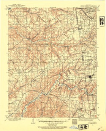
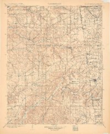
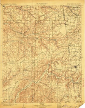
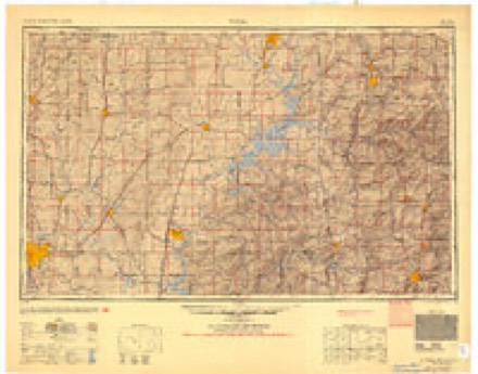
18 topographic sheets cover this place, the earliest surveyed in 1899 and the latest in 1979. It stands in the Kansas census division. It lies in ZIP code area 74359. The Survey maps it on the Kansas quadrangle.
Topographic sheets covering this place
8 surveys from 18 printed sheetsMatched by testing this settlement's coordinate against the published boundary of every sheet in the United States Geological Survey's historical collection. Each opens the scanned sheet at the Survey.
- 1899 USGS Siloam Springs quadrangle1:125000
- 1903 USGS Siloam Springs quadrangle1:125000
- 1904 USGS Siloam Springs quadrangle1:125000, 7 printings
- 1954 USGS Tulsa quadrangle1:250000, 2 printings
- 1958 USGS Tulsa quadrangle1:250000, 3 printings
- 1963 USGS Tulsa quadrangle1:250000
- 1972 USGS Kansas quadrangle1:24000
- 1979 USGS Fayetteville quadrangle1:100000, 2 printings
Fires near this place
223 since 1992Regional context, not property-specific evidence. The federal wildfire occurrence database lists 223 fires within 5 miles of Oaks between 1992 and 2020, burning about 3,770 acres in total. 5 started naturally. 58 were recorded as arson. Distance is straight-line from the map coordinates, so a fire counted here may appear on a neighbouring settlement's page as well.
| Reported cause | Fires |
|---|---|
| Missing data/not specified/undetermined | 97 |
| Arson/incendiarism | 58 |
| Debris and open burning | 45 |
| Equipment and vehicle use | 8 |
| Recreation and ceremony | 6 |
| Natural | 5 |
| Smoking | 3 |
| Misuse of fire by a minor | 1 |
The most recent of them, most recent first, with the day each was reported and the service that recorded it.
| Date | Cause | Size | Reported by | Name on the report |
|---|---|---|---|---|
| 6 September 2003 | Debris and open burning | 1.0 acres | Oklahoma Division of Forestry | 30589 |
| 12 September 2000 | Equipment and vehicle use | 6.0 acres | Oklahoma Division of Forestry | not named |
| 3 August 2010 | Debris and open burning | 12 acres | Oklahoma Division of Forestry | 30355 |
| 25 August 2010 | Debris and open burning | 1.0 acres | Oklahoma Division of Forestry | 30417 |
| 25 August 2010 | Equipment and vehicle use | 2.0 acres | Oklahoma Division of Forestry | 30415 |
| 25 August 1993 | Missing data/not specified/undetermined | 15 acres | Oklahoma Division of Forestry | not named |
| 23 August 1995 | Missing data/not specified/undetermined | 17 acres | Oklahoma Division of Forestry | not named |
| 23 August 1995 | Missing data/not specified/undetermined | 6.0 acres | Oklahoma Division of Forestry | not named |
Settlements close enough to share some of these fires:
Mines and quarries near this place
1 within 5 milesRegional context, not property-specific evidence. The federal mineral resources record lists 1 working within 5 miles of Oaks: 1 past producer. None of them still produces. What was taken out: Sand and Gravel, Construction. Distance is straight-line from the map coordinates, so a quarry counted here may appear on a neighbouring settlement's page as well.
| Where | Site | Commodity | Status | Recorded |
|---|---|---|---|---|
| Unknown Gravel Pit | Sand and Gravel, Construction | Past Producer |
Storms near this place
10 since 1995Regional context, not property-specific evidence. The National Weather Service names Oaks in 10 storm reports between 1995 and 2015: 7 hail, 3 thunderstorm wind. No death or injury is recorded in these reports. Each account below is quoted exactly as the forecast office filed it, from the NOAA Storm Events Database, and each date opens the federal record of that event.
| When | Event | Place named | Harm | What the report says |
|---|---|---|---|---|
| April 1995 | Thunderstorm Wind | Oaks | $5,000 | Severe thunderstorms moved across eastern Oklahoma during the evening of April 17th. The storms produced a total of 8 tornadoes, as well as large hail and damaging winds. The first five tornadoes all occurred with the same supercell thunderstorm. The first tornado touched down briefly 6 miles east southeast of Henryetta at 2100CST. No damage occurred with this F-0 tornado. The second tornado was another brief touchdown just west northwest of Hoffman at 2119CST. No damage occurred with this F-0 tornado. The third tornado was another brief touchdown 2.25 miles northeast of Council Hill at 2130CST. Trees were downed by this F-0 tornado. The fourth tornado touched down in a residential area 1 mile south of Okay at 2214CST. The tornado heavily damaged 2 homes and caused minor damage to 9 homes in the residential area. 5 mobile homes were also destroyed, and 5 other mobile homes were damaged. Several vehicles were either damaged or destroyed, numerous power poles were downed, and numerous trees were uprooted. The tornado continued east northeast for approximately 4.5 miles before lifting 4 miles east of Okay at 2221CST just before reaching the Fort Gibson Lake Dam. This tornado was 125 yards wide and was rated as an F-2. The fifth tornado touched down 2.5 miles south of Peggs at 2232CST. The tornado damaged a Free Will Baptist Church camp building and also damaged a barn and uprooted trees. This F-1 tornado was on the ground for 1/4 mile and was 50 yards wide. The sixth tornado touched down near Qualls at 2235CST and moved northeast for 7 miles before lifting 8 miles south of Tahlequah near the town of Keys at 2245CST. The tornado damaged Carter's Automotive Building 8 miles south of Tahlequah, and several vehicles were thrown a considerable distance from the building. The tornado also caused approximately $100,000 damage to a county solid waste plant in the same general area. This tornado was 200 yards wide and was rated as an F-2. The seventh tornado touched down 3 miles southeast of Stilwell at 2302CST and moved northeast for 1 mile before lifting 3 miles east southeast of Stilwell at 2304CST. The tornado destroyed 1 modular home, 1 mobile home, and 2 chicken houses, and caused minor damage to several other homes. This tornado was 75 yards wide and was rated as an F-1. The eighth tornado was spawned by the same storm which produced the first five tornadoes. It touched down briefly 3.5 miles northwest of Colcord at 2310CST. The tornado damaged the roof of 1 home and also damaged 3 barns. This tornado was 40 yards wide and was rated as an F-0. The storms also produced strong straight-line winds which caused considerable damage. Strong thunderstorm winds destroyed 2 mobile homes and damaged 4 other mobile homes at the Robinson Trailer Park 3 miles northeast of Sapulpa. 1 resident of the park suffered a back injury as a result of the storms. A mobile home was destroyed and a chicken house was damaged by strong thunderstorm winds 4 miles east of Stilwell, and strong winds damaged a trailer house near Council Hill. A house was damaged by high winds 2 miles south of Hulbert, and chicken houses were blown over in Rose. Thunderstorm winds estimated at 80 miles an hour in Muskogee blew the roofs off a couple buildings and knocked down light poles and large tree branches. A barn was destroyed, a window was blown out, and trees were downed by strong winds just southwest of Muskogee. Several roofs were blown off outbuildings and windows were blown out 3 miles west of Muskogee, and a chimney was blown off a roof and several large tree limbs were downed in Nowata. Strong thunderstorm winds blew a large tree onto the roof of a house in Avant, and the skirting was blown off a trailer and numerous trees were downed 4 miles north of Sand Springs. Strong thunderstorm winds damaged a brick building in Henryetta, blowing off bricks near the top of the building, and trees were blown down onto a house near Grove. Lines, trees, and an amateur radio tower were downed by strong winds 2 miles north of Oaks, and strong winds downed a large radio tower near Mannford. 60 mile an hour winds blew the windows out of a store and downed trees in Poteau, and up to 50 large trees were blown down just east of Eucha. Strong thunderstorm winds downed numerous trees from 2.5 miles south of Peggs to 3 miles east of Peggs, and 3 barns were destroyed 3 miles east of Peggs. Thunderstorm winds downed trees and power lines in Battiest, 3 miles south of Leach, and 2 miles north of Twin Oaks, and several trees were blown over onto power lines in Quapaw. A large tree was blown down 4 miles west of Sand Springs, and large tree limbs were blown down in Sand Springs and in Weleetka. Strong thunderstorm winds downed numerous large tree limbs in Bearden, and several large tree limbs were downed by strong winds near Big Cabin. Thunderstorm winds gusted to 70 miles an hour 3 miles west of Okay, to 67 miles an hour in Sapulpa, and to 65 miles miles an hour 5 miles southwest of Oologah. Thunderstorm winds gusted to 65 to 70 miles an hour at Sequoyah State Park 8 miles east of Wagoner, and to 60 to 70 miles an hour in Collinsville. Thunderstorm winds gusted to 60 miles an hour 7 miles west of Nowata, 8 miles west of Claremore, and at several locations in McIntosh County. Large hail also accompanied some of the storms. Half dollar size hail fell at Dewar, and nickel size hail fell at Hitchita, 10 miles west of Checotah, and at Fountainhead State Park 6 miles north of Eufaula. Dime size hail fell in Vera. Very heavy rainfall from the thunderstorms also resulted in flash flooding in parts of northeast Oklahoma. Street flooding occurred in the south and southeast parts of Osage County, 10 miles east of Terlton, and in Mannford. Street flooding also occurred in Muskogee, and U.S. Highway 69 was flooded 3 miles north of Muskogee. Streets were closed by flooding in Morris, and State Highway 62 was closed east of Morris due to 3 feet of water covering the roadway. Water also entered some garages and basements in Morris, and a bridge was damaged by flooding 2.25 miles south of Morris. |
| March 2015 | Hail | Oaks | $5,000 | no account filed |
| October 1998 | Hail | Oaks | $4,000 | Quarter-sized hail caused damage to several cars in Oaks. |
| July 2008 | Thunderstorm Wind | Oaks | - | Thunderstorm winds estimated at 70 miles an hour blew down a tree. The tree blocked a road. |
| May 2008 | Thunderstorm Wind | Oaks | - | Thunderstorm winds estimated to 60 mph blew down large tree limbs. |
| June 1995 | Hail | Oaks | - | Severe thunderstorms developed in northeast Oklahoma during the afternoon of June 8th. Strong thunderstorm winds downed power lines and several trees just south of Bluejacket and in Welch, and strong winds just south of Nowata uprooted several large trees and downed large tree limbs. Several trees were blown down onto State Highway 10 seven miles east of Ottawa, and trees were blown down six miles east of Miami and in Dotyville. Dime-size hail fell at Dewey, at Miami, three miles north of New Alluwe, at Barber, seven miles southeast of Proctor, eight miles north northeast of Moodys, and two miles north of Oaks. The thunderstorms also produced very heavy rainfall in Washington County which resulted in street flooding in Dewey. |
| August 2012 | Hail | Oaks | - | no account filed |
| May 2009 | Hail | Oaks | - | no account filed |
| May 2008 | Hail | Oaks | - | no account filed |
| April 2005 | Hail | Oaks | - | no account filed |
Nearest settlements
The eight closest, with where each one stands in the county. Distances are straight-line, computed from the Geographic Names Information System coordinates.
| Map | Place | Distance | Sheets |
|---|---|---|---|
| Twin Oaks | 2.7 miles | 18 | |
| Rocky Ford | 3.1 miles | 19 | |
| Kansas | 4.0 miles | 18 | |
| Leach | 4.5 miles | 19 | |
| Flint Creek | 6.1 miles | 19 | |
| Flint | 7.9 miles | 19 | |
| Beckwith | 8.0 miles | 19 | |
| Cloud Creek | 8.3 miles | 19 |
Provenance
This settlement is recorded in the Geographic Names Information System as feature 1096160. The sheet list is computed by point-in-boundary test against the United States Geological Survey's historical topographic inventory. Both are works of the United States government and carry no copyright under 17 U.S.C. 105.
Wildfire. Short, Karen C. 2022. Spatial wildfire occurrence data for the United States, 1992-2020 [FPA_FOD_20221014]. 6th Edition. Fort Collins, CO: Forest Service Research Data Archive. https://doi.org/10.2737/RDS-2013-0009.6 Collected with United States Government funding and usable without additional permissions or fees.
Mines and quarries. USGS Mineral Resources Data System (MRDS) https://mrdata.usgs.gov/mrds/ A work of the United States government, no copyright under 17 U.S.C. 105.
Storms. NOAA National Centers for Environmental Information, Storm Events Database https://www.ncei.noaa.gov/stormevents/ A work of the United States government, no copyright under 17 U.S.C. 105. Narratives are quoted verbatim from the National Weather Service report and are not edited or summarised.