 Block
From the record
9 National Register listings published here.
Sources: the National Register database, National Park Service
24 topographic sheets and 13 fire insurance atlases across 4 places.
9 National Register listings published here.
Sources: the National Register database, National Park Service
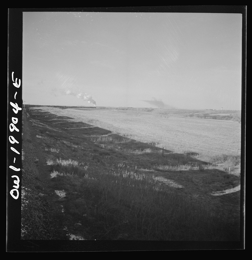
Taken for the Office of War Information and the Farm Security Administration, who photographed the country between 1935 and 1944. Works of United States government photographers, with no known restriction on use. Each opens its catalogue record.
Every property in this county listed on the National Register of Historic Places, with the year it was listed and the federal nomination document.
| Photograph | Property | Type | Listed | Reference |
|---|---|---|---|---|
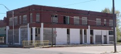 | Bank of Gage | building | 1983 | 83004169 |
| George Carr Ranch House | building | 1985 | 85000788 | |
| Davison Silo | structure | 1978 | 78002234 | |
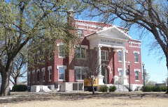 | Ellis County Courthouse | building | 1985 | 85000681 |
| First State Bank | building | 1983 | 83004170 | |
| Grand Town Site | site | 1972 | 72001063 | |
| Ingle Brothers Broomcorn Warehouse | building | 2009 | 09000975 | |
 | Shattuck National Bank Building | building | 1983 | 83004171 |
 | Stock Exchange Bank | building | 1983 | 83004173 |
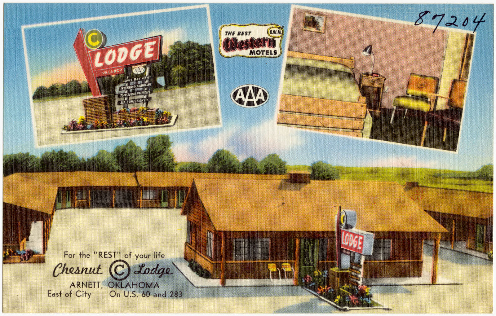
Selected from the Digital Public Library of America's 2 image records catalogued for this county. Every one shown here carries a public-domain status or a licence that permits reuse on a site that carries advertising; non-commercial, share-alike and restricted images are excluded. The selection is spread across the county's towns (at most eight per town), so no single institution's bulk upload crowds out the rest. Each opens the holding library's record, and the complete set at the Digital Public Library of America is one click away.
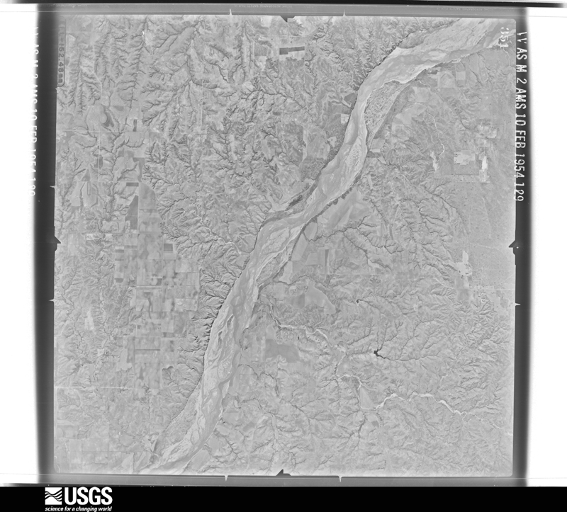
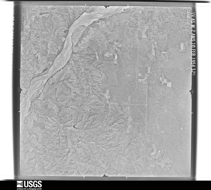
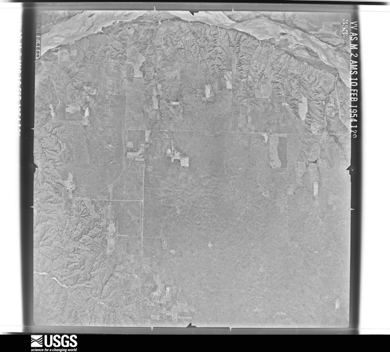
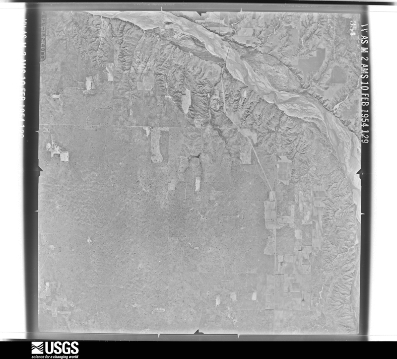
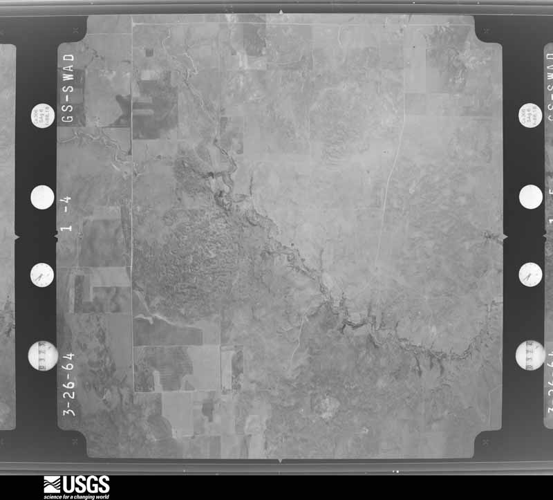
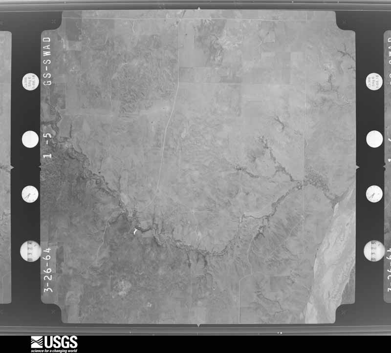
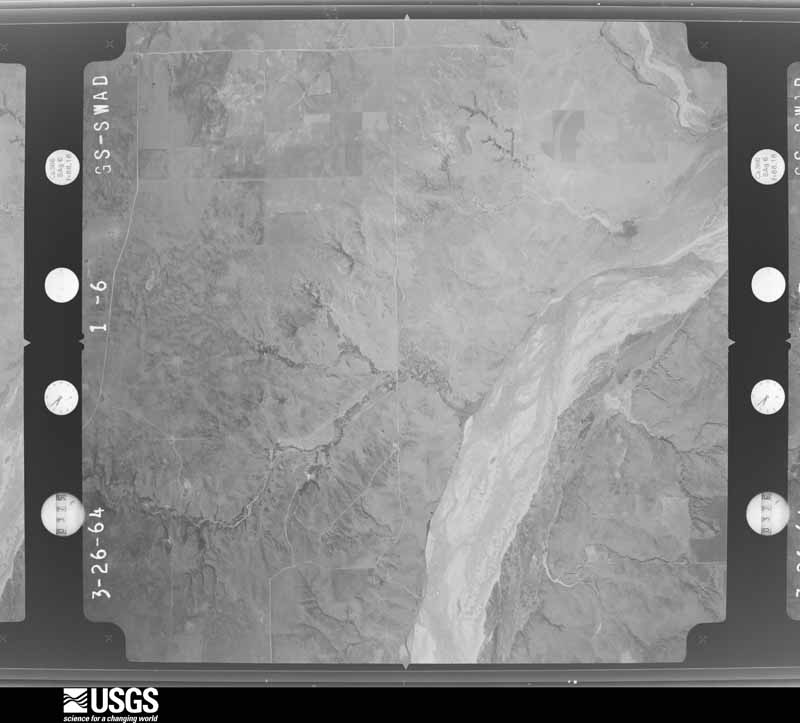
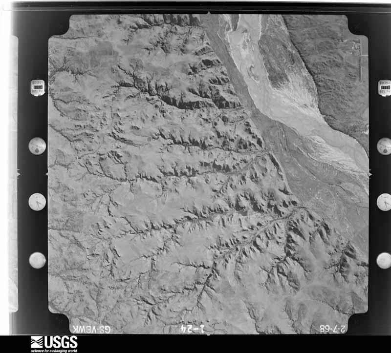
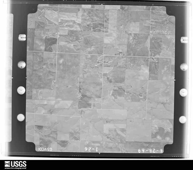
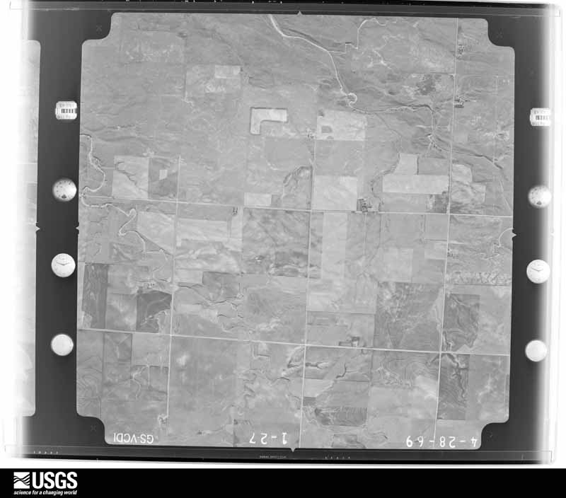
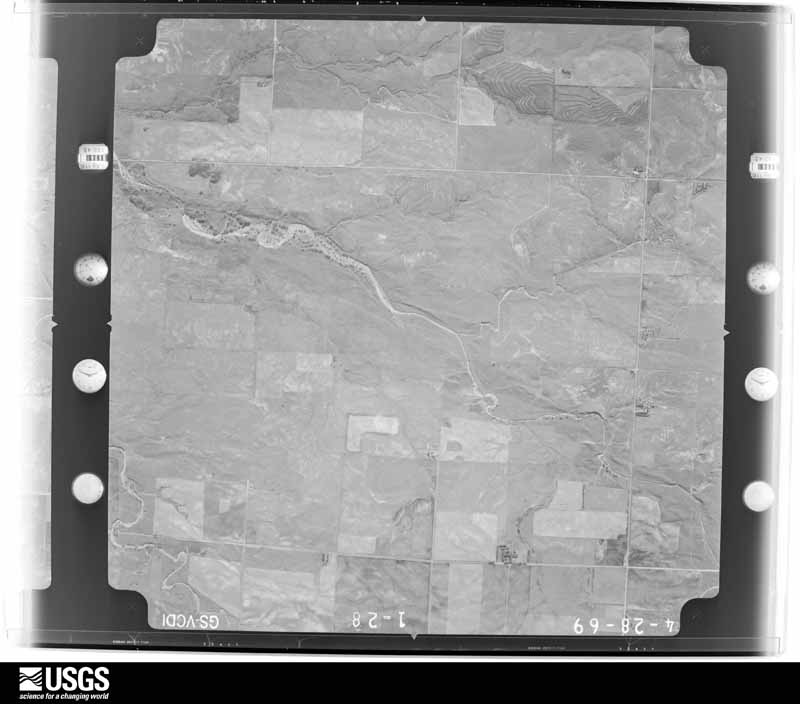
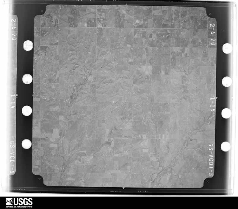
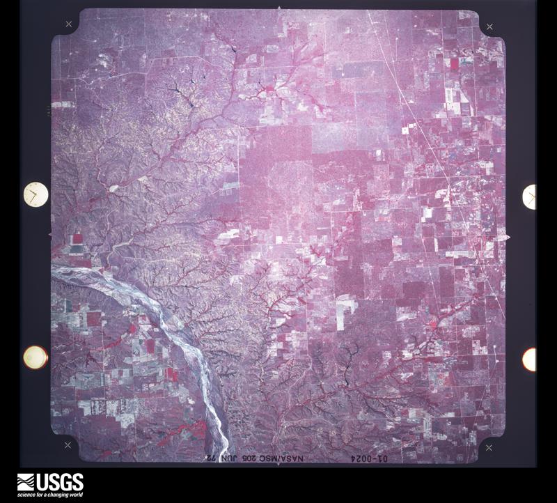
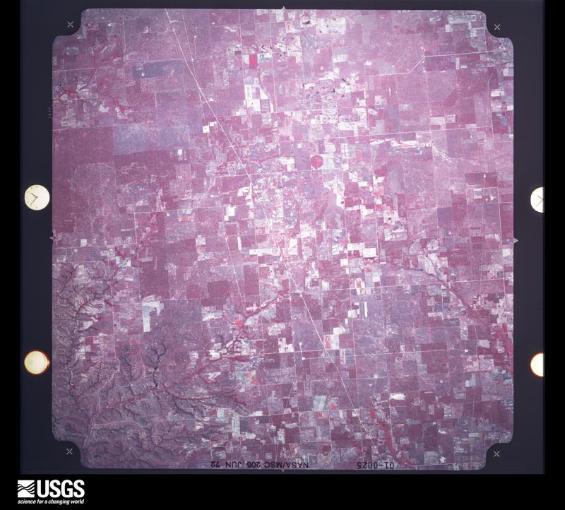
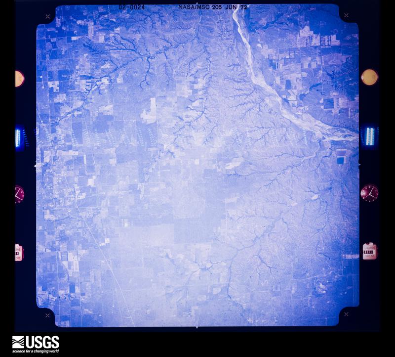
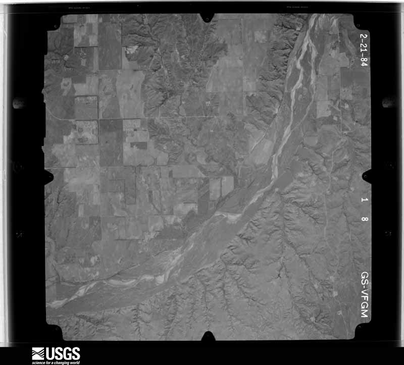
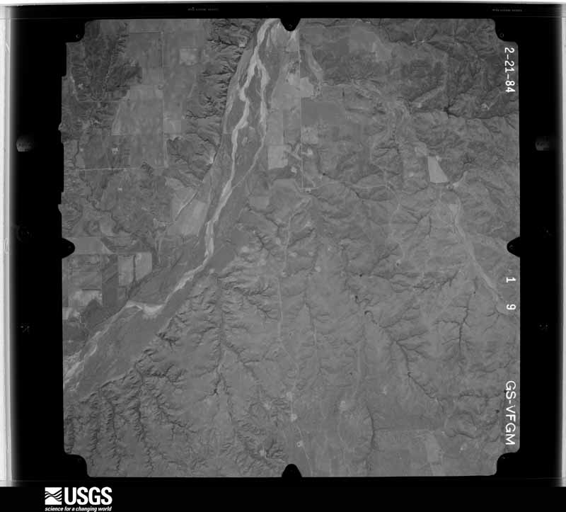
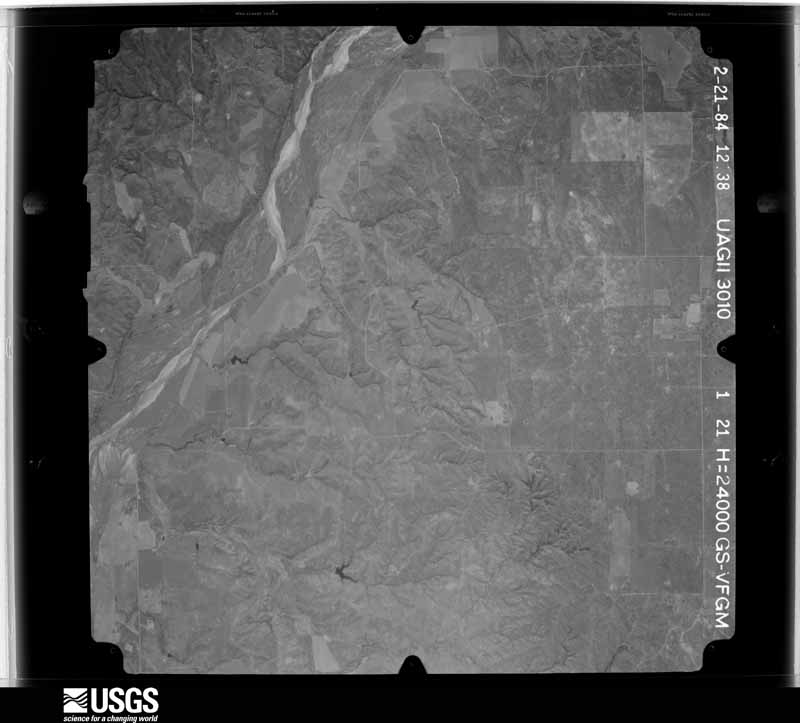
Flown by the U.S. Geological Survey between 1937 and 1989, the Aerial Photo Single Frames collection is the definitive mid-century view of the land: fields, roads and rivers as the camera saw them. The Survey holds 1,175 frames inside the rectangle that bounds this county; the 31 frames below were taken over the county itself, chosen across the decades of flights (at most four a year from that rectangle), so one flight cannot crowd out the rest. The full set is free to browse and download at EarthExplorer under the dataset Aerial Photo Single Frames.
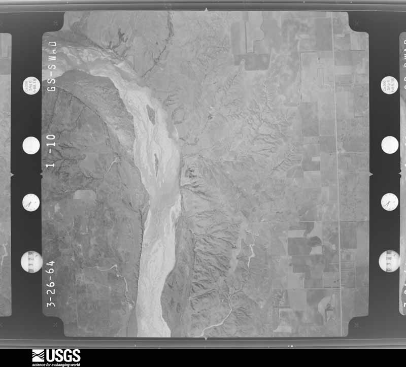
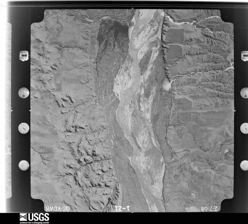
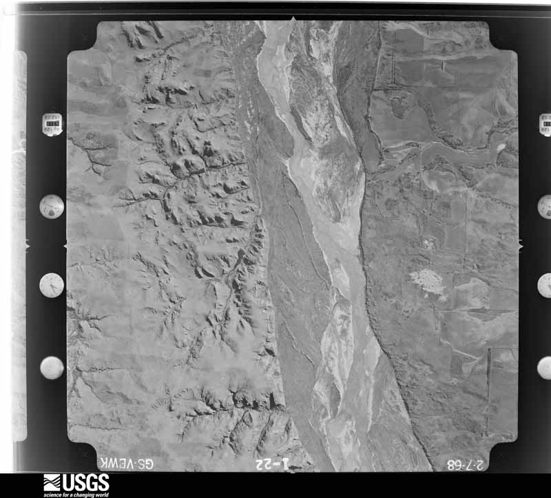
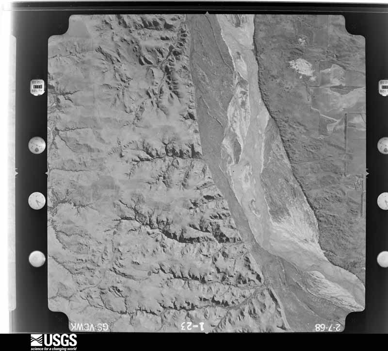
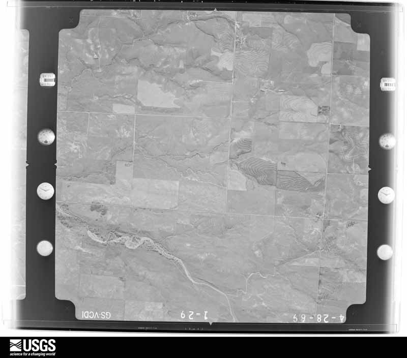
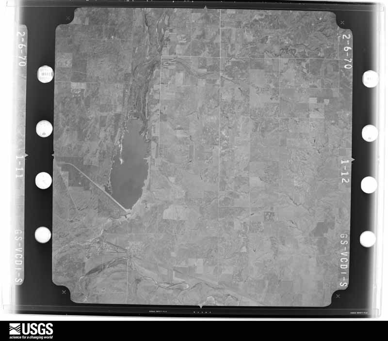
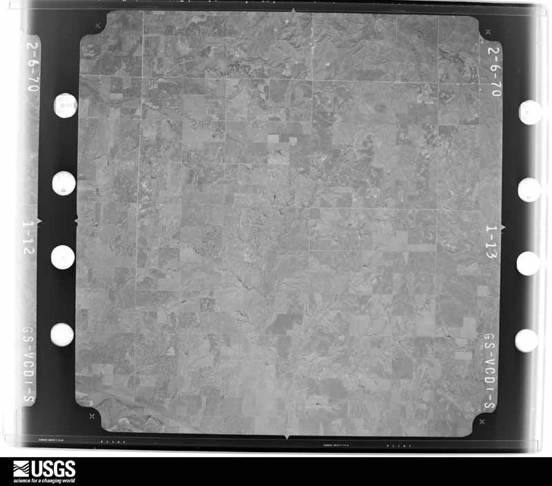
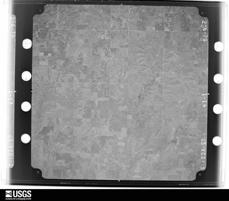





The thermometers that kept this county's weather, and the gages that measured the flow of its streams, as the federal records hold them. The extremes below are measured values from those records, not estimates.
Who lived here in 1950, one enumeration district at a time, as the Census Bureau described each district. Each row opens its official National Archives result, with Population Schedules and ED Maps available there.
Every wildfire the federal occurrence database records inside this county: 5 of them, burning about 13,727 acres. 1 started naturally and none was recorded as arson. Each settlement page carries the fires within five miles of it.
| Reported cause | Fires |
|---|---|
| Debris and open burning | 3 |
| Natural | 1 |
| Missing data/not specified/undetermined | 1 |
The five largest, by the area the report gives. None of them was recorded as arson.
| Date | Cause | Size | Reported by | Name on the report |
|---|---|---|---|---|
| 26 November 2019 | Missing data/not specified/undetermined | 8,275 acres | Oklahoma Division of Forestry | GAGE FIRE |
| 20 April 2008 | Debris and open burning | 5,000 acres | Texas A & M Forest Service | not named |
| 19 December 2007 | Debris and open burning | 250 acres | Texas A & M Forest Service | not named |
| 14 August 2008 | Natural | 200 acres | Texas A & M Forest Service | not named |
| 15 April 2009 | Debris and open burning | 2.0 acres | Cibola National Forest | DUMP |
Every settlement page carries the fires within five miles of it - see the settlement index below.
The NOAA Storm Events Database holds 752 reports for this county, causing no deaths, 7 injuries and about $6,089,680 in recorded property damage. Each settlement page carries the reports that name it.
| Kind of event | Reports |
|---|---|
| Hail | 424 |
| Thunderstorm Wind | 228 |
| Tornado | 82 |
| Flash Flood | 14 |
| Heavy Rain | 3 |
| Lightning | 1 |
The most serious of them, by death, then injury, then recorded damage. The accounts are quoted exactly as the forecast office filed them.
| When | Event | Place named | Harm | What the report says |
|---|---|---|---|---|
| April 1990 | Tornado (F2) | not stated | 5 hurt, $2,500,000 | no account filed |
| May 2007 | Tornado (EF2) | Harmon | 1 hurt, $612,000 | This tornado developed 4 miles north-northeast of Roll in northern Roger Mills County and crossed the Canadian River into southern Ellis County at 9:36 pm CDT. Two houses and two mobile homes were destroyed in the Packsaddle area of southern Ellis County to the east of US Highway 283 (about 18 miles south-southwest of Harmon), and a roof was removed from another mobile home. At least one of these homes suffered a complete removal of the roof and some damage to the exterior walls. Several cars were damaged or destroyed, as well as trees and power lines. Monetary values were estimated. |
| September 2007 | Hail | Shattuck Arpt | 1 hurt, $15,000 | Hail up to golf ball size covered the ground. Several windshields shattered due to the hail. One person caught outside received minor injuries from the hail. Monetary damages were estimated. |
| May 1994 | Hail | Shattuck | $500,000 | no account filed |
| July 1996 | Thunderstorm Wind | Shattuck | $300,000 | no account filed |
| March 1987 | Tornado (F2) | not stated | $250,000 | no account filed |
| June 1958 | Tornado (F3) | not stated | $250,000 | no account filed |
| June 1955 | Tornado (F2) | not stated | $250,000 | no account filed |
| May 2019 | Tornado (EF3) | Catesby | $150,000 | This tornado developed in Lipscomb County Texas and moved through Beaver County (see Storm Data entries from the NWS Amarillo in the Texas and Oklahoma panhandles) before moving into northwest Ellis County. This tornado was surveyed by meteorologists from both the NWS Norman and Amarillo.||Immediately after moving into Ellis County, a home and outbuilding were completely destroyed. An extended cab pickup truck in a carport at this home was blown 0.3 of a mile northeast with some pieces of the truck found over one half mile northeast of the home. Numerous power poles were snapped both north-south along the county line and east-west along county road 30. ||The tornado continued to move northeast and into Harper County southwest of Laverne. |
| May 2001 | Thunderstorm Wind | Shattuck | $125,000 | A grain elevator was destroyed, and another was damaged. A mobile home was also damaged. |
| May 2007 | Tornado (EF1) | Arnett | $110,000 | Windows were blown out of a house west of Arnett. Surrounding the house, a barn and several outbuildings were destroyed. Farm equipment at the home was also destroyed. Numerous tree limbs and power lines were downed. Monetary damages were estimated. |
| May 2025 | Tornado (EF3) | Arnett | $100,000 | This tornado began near the intersection of E0630 Road and N1760 Road, breaking four power poles and damaging trees. It moved east-northeast along E0630 Road with extensive tree damage noted just east of N1770 Road. The tornado then turned more northeast and moved over open country. For much of the path, there were few if any damage indicators, but drone imagery from surveys by the National Severe Storms Laboratory and Disaster Imaging Inc, as well as visual sightings of the tornado confirms that this tornado was continuous along this 5 mile path. Additional tree damage was noted along E0620 Road as the tornado continued moving northeast, with the most severe damage along N1810 road about one-half mile south of E0610 Road where trees were partially debarked and only stubs of large limbs were left. The tornado was rated EF3 based on this severe tree damage. Near the end of the track, the tornado appeared to be at its most intense as it turned north with more extensive tree damage along E0610 Road on the western edge of the city of Arnett. A large shipping container was also displaced 175 feet at this location. This tornado turned northwest and dissipated just west of Arnett near US Highway 60.||Researchers with the National Severe Storms Laboratory, the University of Oklahoma, and the OTUS (Observation of Tornadoes by UAS Systems) Project collected detailed datasets during the tornado as well as performing detailed damage surveys. |
| June 2011 | Tornado (EF0) | Shattuck | $100,000 | A tornado was observed crossing Highway 15, about 6.5 miles north of Shattuck. Tree limbs and power lines were downed at this location, and a residence and several outbuildings were damaged a mile and a half west. |
| February 2000 | Tornado (F1) | Catesby | $90,000 | This tornado formed in northeast Lipscomb County Texas (See Amarillo Texas stormdata for more information on the Texas segment) and tracked across the Texas/Oklahoma State border, 2 miles west of Catesby in Ellis County at 2029 CST. High power lines were downed, and numerous outbuilding were destroyed on the state border. The tornado then struck a house 1.5 miles northwest of Catesby. Approximately 75 percent of the roof and the north side wall of the upstairs attic were blown off. A nearby windmill was also knocked down. The tornado then continued northeast and struck another house 6 miles northeast of Catesby, very close to US 283 and the Ellis/Harper County line. Approximately 75 percent of the roof was blown off; outbuildings were destroyed; a porch was damaged, and trees were partially stripped of their limbs. As the tornado moved into Harper County, a hog barn near the Ellis/Harper County line received minor roof damage, while power lines in southern Harper County were blown down near the intersection of US 283 and US 270. The tornado is then believed to have dissipated in the North Canadian River valley about 5 miles southeast of Laverne. Damage in Ellis County was rated F1, while damage in Harper County was rated F0. |
| June 2025 | Tornado (EF2) | Arnett | $75,000 | This large tornado started near the Texas state line and moved southeast through southwestern Ellis County. It was rain-wrapped much of the time, although research radars and the damage survey confirmed it's existence.||The tornado moved southeast causing extensive roof damage to a home and a barn as well as causing significant damage in groves of trees near Little Robe Creek, including snapping and debarking the trees. The tornado continued southeast and caused more extensive tree damage along County Roads D1695 and E0720. One home that had been burned in the Smokehouse Creek wildfire (February 2024) was further damaged with the tornado scattering the remnants of the house.||The tornado severely damaged more trees and downed power line along County Roads N1730 and E0730 and along the Canadian River before crossing into Roger Mills County. |
| August 2011 | Thunderstorm Wind | Catesby | $50,000 | An 80 X 120 foot pole barn was destroyed. Monetary damages were estimated. |
| April 2000 | Hail | Arnett | $50,000 | Golf ball size hail (1.75 inches) damaged many roofs and dented numerous vehicles. |
| July 1996 | Thunderstorm Wind | Arnett | $50,000 | no account filed |
| May 1994 | Thunderstorm Wind | Shattuck | $50,000 | no account filed |
| September 2012 | Thunderstorm Wind | Gage | $45,000 | Emergency manager reported outbuildings were damaged, a mobile home was blown off its foundation, and power lines were downed. |
| June 2003 | Thunderstorm Wind | Gage | $35,000 | Straight-line winds toppled approximately a half a mile of cars of a Burlington Northern Santa Fe train. |
| August 2020 | Thunderstorm Wind | Gage | $25,000 | Train derailment with 15-20 train cars off tracks. |
| March 1987 | Tornado (F1) | not stated | $25,000 | no account filed |
| May 1982 | Tornado (F2) | not stated | $25,000 | no account filed |
| April 1978 | Tornado (F2) | not stated | $25,000 | no account filed |
| November 1973 | Tornado (F1) | not stated | $25,000 | no account filed |
| June 2025 | Tornado (EF1) | Arnett | $20,000 | While the large rain-wrapped tornado was moving through southwest Ellis County, storm chasers observed a parallel tornado. Information from emergency management and an NWS storm survey indicated this tornado produced tree damage along County Road N1710, then damaged two barns along County Road E0690 as the tornado moved east-southeast. |
| July 2023 | Thunderstorm Wind | Shattuck | $20,000 | Report of a brick building collapse. Time is radar estimated. |
| April 2019 | Tornado (EF1) | Shattuck | $20,000 | This tornado was observed by many spotters and chasers, and was one of two tornadoes observed north and northwest of Shattuck. This tornado touched down about 4.5 miles northwest of Shattuck and moved northwest. Two mobile homes were damaged, including one that suffered significant loss of roof. This tornado also damaged trees and an outbuilding. |
| June 2002 | Tornado (F1) | Catesby | $20,000 | This tornado tracked about one mile, destroying a windmill and damaging trees, before dissipating. |
| May 2025 | Tornado (EF1) | Arnett | $15,000 | After the EF3 tornado dissipated just west of Arnett, another tornado developed just northwest of Arnett and moved northeast. Trees and an oil field building were damaged by this tornado. |
| September 2025 | Thunderstorm Wind | Catesby | $15,000 | Relayed images show three power poles snapped along County Road 170. The event time is estimated from radar observations. |
| March 2021 | Thunderstorm Wind | Shattuck | $15,000 | Fences downed, an anchored carport destroyed, and an SUV totaled. Time radar estimated. |
| August 2002 | Thunderstorm Wind | Fargo | $15,000 | Two trees were downed, and railroad crossing arms were damaged. |
| May 2017 | Thunderstorm Wind | (Gag)Gage Airport | $12,000 | At least 12 power poles were snapped of at various heights. |
| June 2023 | Tornado (EF1) | Arnett | $10,000 | This tornado moved into Ellis County from Lipscomb County Texas (see entry in Texas panhandle from NWS Amarillo). In Oklahoma, this tornado produced scattered tree damage as it moved east-southeast, including snapping or uprooting trees at it approached County Road 171. |
| May 2017 | Hail | Fargo | $10,000 | Vehicles and houses damaged by wind blown hail. |
| May 2007 | Tornado (EF0) | Arnett | $10,000 | This tornado developed in northern Roger Mills County 4 miles north of Dempsey and moved north-northeast crossing into Ellis County about 16 miles south of Arnett. No damage was reported in this rural area of the county, although the tornado was reported as a wide tornado at times. As the tornado approached U.S. Highway 283, it was reported to be a well-developed cone shaped tornado with occasional multiple vorticies. Tree limbs were reported downed where it crossed U.S. Highway 283. The tornado dissipated about a mile after crossing the highway. Monetary damages were estimated. |
| July 1998 | Thunderstorm Wind | Arnett | $7,000 | no account filed |
| March 2021 | Thunderstorm Wind | Fargo | $5,000 | Numerous power poles and trees downed. Damage to a wind turbine was reported. |
| May 1994 | Hail | E Shattuck | $5,000 | no account filed |
| May 1993 | Thunderstorm Wind | Shattuck | $5,000 | no account filed |
| September 1993 | Thunderstorm Wind | Arnett | $5,000 | no account filed |
| November 2015 | Tornado (EF2) | Fargo | $3,000 | The first damage known to occur with this tornado was damage to trees near EW 34 Road and NS 184 Road. A home received damage, sheds were destroyed, and trees were snapped between NS 186 and NS 187 on EW 31 Road. This tornado moved into Harper County west of Fort Supply. |
| July 2013 | Thunderstorm Wind | Gage | $3,000 | Post Office employee reported 6-8 inch diameter branches down. Other numerous smaller branches were down between Gage and Fargo. |
| May 2007 | Tornado (EF0) | Arnett | $3,000 | The tornado remained over open country throughout its life span. A few trees, power poles, and power lines were damaged. Monetary damages were estimated. |
| June 2006 | Thunderstorm Wind | Catesby | $2,500 | Trees were reported snapped and power poles downed between EW 31 and EW33 roads. |
| May 1983 | Tornado (F1) | not stated | $2,500 | no account filed |
| June 1967 | Tornado (F2) | not stated | $2,500 | no account filed |
| June 1967 | Tornado (F1) | not stated | $2,500 | no account filed |
| April 1966 | Tornado (F1) | not stated | $2,500 | no account filed |
| May 1961 | Tornado (F2) | not stated | $2,500 | no account filed |
| March 1960 | Tornado (F2) | not stated | $2,500 | no account filed |
| May 1957 | Tornado (F1) | not stated | $2,500 | no account filed |
| May 1955 | Tornado (F1) | not stated | $2,500 | no account filed |
| June 1955 | Tornado (F1) | not stated | $2,500 | no account filed |
| July 1951 | Tornado (F1) | not stated | $2,500 | no account filed |
| June 2023 | Thunderstorm Wind | Arnett | $2,000 | Reports of power line damage in the community of Arnett. Time is radar estimated. |
| June 2023 | Thunderstorm Wind | Arnett | $2,000 | MPing report of power pole damage along US Highway 60. Time is radar estimated. |
| April 1999 | Lightning | Fargo | $1,500 | no account filed |
The Survey's mineral resources record lists 103 workings inside this county. 14 still produce and 89 are closed or unrecorded. Each settlement page carries the workings within five miles of it.
| Commodity | Workings |
|---|---|
| Limestone, General | 65 |
| Sand and Gravel, Construction | 36 |
| Bentonite | 2 |
| Pumice | 1 |
The least common of them first, because a county's hundredth gravel pit says nothing its first ten did not.
| Where | Site | Commodity | Status | Recorded |
|---|---|---|---|---|
| Bentonite Prospect | Bentonite, Pumice | Prospect | ||
| Bentonite Prospect | Bentonite | Prospect | ||
| Unknown Gravel Pit | Sand and Gravel, Construction | Past Producer | ||
| Unknown Gravel Pit | Sand and Gravel, Construction | Past Producer | ||
| Unknown Gravel Pit | Sand and Gravel, Construction | Past Producer | ||
| Unknown Gravel Pit | Sand and Gravel, Construction | Past Producer | ||
| Unknown Gravel Pit | Sand and Gravel, Construction | Past Producer | ||
| Unknown Gravel Pit | Sand and Gravel, Construction | Past Producer | ||
| Unknown Gravel Pit | Sand and Gravel, Construction | Past Producer | ||
| Unknown Gravel Pit | Sand and Gravel, Construction | Past Producer | ||
| Unknown Gravel Pit | Sand and Gravel, Construction | Past Producer | ||
| Unknown Gravel Pit | Sand and Gravel, Construction | Past Producer | ||
| Unknown Gravel Pit | Sand and Gravel, Construction | Past Producer | ||
| Unknown Gravel Pits | Sand and Gravel, Construction | Past Producer | ||
| Unknown Gravel Pits | Sand and Gravel, Construction | Past Producer | ||
| Unknown Gravel Pits | Sand and Gravel, Construction | Past Producer | ||
| Unknown Sand Pit | Sand and Gravel, Construction | Past Producer | ||
| Unknown Sand Pit | Sand and Gravel, Construction | Past Producer | ||
| Unknown Sand Pit | Sand and Gravel, Construction | Past Producer | ||
| Unknown Sand Pit | Sand and Gravel, Construction | Past Producer | ||
| Unknown Sand Pit | Sand and Gravel, Construction | Past Producer | ||
| Unknown Sand Pit | Sand and Gravel, Construction | Past Producer | ||
| Unknown Sand Pit | Sand and Gravel, Construction | Past Producer | ||
| Unknown Sand Pit | Sand and Gravel, Construction | Past Producer | ||
| Unknown Sand Pit | Sand and Gravel, Construction | Past Producer | ||
| Unknown Sand Pit | Sand and Gravel, Construction | Past Producer | ||
| Unknown Sand Pit | Sand and Gravel, Construction | Producer | ||
| Unknown Sand Pit | Sand and Gravel, Construction | Past Producer | ||
| Unknown Sand Pit | Sand and Gravel, Construction | Past Producer | ||
| Unknown Sand Pit | Sand and Gravel, Construction | Past Producer | ||
| Unknown Sand Pit | Sand and Gravel, Construction | Past Producer | ||
| Unknown Sand Pits | Sand and Gravel, Construction | Past Producer | ||
| Unknown Sand Pits | Sand and Gravel, Construction | Past Producer | ||
| Unknown Sand Pits | Sand and Gravel, Construction | Past Producer | ||
| Unknown Sand Pits | Sand and Gravel, Construction | Past Producer | ||
| Unknown Sand Pits | Sand and Gravel, Construction | Past Producer | ||
| Unknown Sand Pits | Sand and Gravel, Construction | Past Producer | ||
| Unknown Sand Pits | Sand and Gravel, Construction | Past Producer | ||
| Unknown Caliche Pit | Limestone, General | Past Producer | ||
| Unknown Caliche Pit | Limestone, General | Past Producer | ||
| Unknown Caliche Pit | Limestone, General | Past Producer | ||
| Unknown Caliche Pit | Limestone, General | Past Producer | ||
| Unknown Caliche Pit | Limestone, General | Producer | ||
| Unknown Caliche Pit | Limestone, General | Producer | ||
| Unknown Caliche Pit | Limestone, General | Past Producer | ||
| Unknown Caliche Pit | Limestone, General | Past Producer | ||
| Unknown Caliche Pit | Limestone, General | Producer | ||
| Unknown Caliche Pit | Limestone, General | Past Producer | ||
| Unknown Caliche Pit | Limestone, General | Producer | ||
| Unknown Caliche Pit | Limestone, General | Past Producer | ||
| Unknown Caliche Pit | Limestone, General | Past Producer | ||
| Unknown Caliche Pit | Limestone, General | Past Producer | ||
| Unknown Caliche Pit | Limestone, General | Past Producer | ||
| Unknown Caliche Pit | Limestone, General | Past Producer | ||
| Unknown Caliche Pit | Limestone, General | Past Producer | ||
| Unknown Caliche Pit | Limestone, General | Past Producer | ||
| Unknown Caliche Pit | Limestone, General | Past Producer | ||
| Unknown Caliche Pit | Limestone, General | Past Producer | ||
| Unknown Caliche Pit | Limestone, General | Producer | ||
| Unknown Caliche Pit | Limestone, General | Producer | ||
| Unknown Caliche Pit | Limestone, General | Past Producer | ||
| Unknown Caliche Pit | Limestone, General | Producer | ||
| Unknown Caliche Pit | Limestone, General | Past Producer | ||
| Unknown Caliche Pit | Limestone, General | Producer | ||
| Unknown Caliche Pit | Limestone, General | Past Producer | ||
| Unknown Caliche Pit | Limestone, General | Past Producer | ||
| Unknown Caliche Pit | Limestone, General | Past Producer | ||
| Unknown Caliche Pit | Limestone, General | Producer | ||
| Unknown Caliche Pit | Limestone, General | Past Producer | ||
| Unknown Caliche Pit | Limestone, General | Past Producer | ||
| Unknown Caliche Pit | Limestone, General | Past Producer | ||
| Unknown Caliche Pit | Limestone, General | Past Producer | ||
| Unknown Caliche Pit | Limestone, General | Past Producer | ||
| Unknown Caliche Pit | Limestone, General | Past Producer | ||
| Unknown Caliche Pit | Limestone, General | Past Producer | ||
| Unknown Caliche Pit | Limestone, General | Past Producer | ||
| Unknown Caliche Pit | Limestone, General | Past Producer | ||
| Unknown Caliche Pit | Limestone, General | Past Producer | ||
| Unknown Caliche Pit | Limestone, General | Past Producer | ||
| Unknown Caliche Pit | Limestone, General | Past Producer | ||
| Unknown Caliche Pit | Limestone, General | Producer | ||
| Unknown Caliche Pit | Limestone, General | Past Producer | ||
| Unknown Caliche Pit | Limestone, General | Past Producer | ||
| Unknown Caliche Pit | Limestone, General | Producer | ||
| Unknown Caliche Pit | Limestone, General | Past Producer | ||
| Unknown Caliche Pit | Limestone, General | Past Producer | ||
| Unknown Caliche Pit | Limestone, General | Past Producer | ||
| Unknown Caliche Pit | Limestone, General | Past Producer | ||
| Unknown Caliche Pit | Limestone, General | Past Producer | ||
| Unknown Caliche Pit | Limestone, General | Past Producer | ||
| Unknown Caliche Pit | Limestone, General | Past Producer | ||
| Unknown Caliche Pit | Limestone, General | Past Producer | ||
| Unknown Caliche Pit | Limestone, General | Producer | ||
| Unknown Caliche Pit | Limestone, General | Past Producer | ||
| Unknown Caliche Pit | Limestone, General | Past Producer | ||
| Unknown Caliche Pit | Limestone, General | Past Producer | ||
| Unknown Caliche Pit | Limestone, General | Past Producer | ||
| Unknown Sand Pit | Limestone, General | Past Producer |
Named settlements recorded in the Geographic Names Information System, each with the topographic sheets covering it. Villages, hamlets and abandoned places alike. Each is shown with the nearest named watercourse or landform and the survey quadrangle it falls on. The 4 places that were also surveyed for fire insurance come first, with the number of atlases and photographs held for them.
South Ellis census division · 73832 · Arnett quadrangle
8 sheets, 1955 to 1985
Fire insurance: 2 atlases
Northeast Ellis census division · 73840 · On Boggy Creek · Fargo quadrangle
8 sheets, 1955 to 1985
Fire insurance: 3 atlases
Northeast Ellis census division · 73843 · Gage quadrangle
8 sheets, 1955 to 1985
Fire insurance: 5 atlases
Northwest Ellis census division · 73858 · Shattuck quadrangle
9 sheets, 1955 to 1985
Fire insurance: 3 atlases
South Ellis census division · 73832 · On Hackberry Creek · Roll NE quadrangle
7 sheets, 1955 to 1990
No longer a settlement
The vanished settlements of Ellis County: the places named above that are no longer on the map.
8 topographic sheets and 5 fire insurance atlases, 1905 to 1930
8 topographic sheets and 3 fire insurance atlases, 1912 to 1926
9 topographic sheets and 3 fire insurance atlases, 1911 to 1935