 Block
From the record
12 National Register listings published here.
Sources: the National Register database, National Park Service
52 topographic sheets and 31 fire insurance atlases across 5 places.
12 National Register listings published here.
Sources: the National Register database, National Park Service
Every property in this county listed on the National Register of Historic Places, with the year it was listed and the federal nomination document.
| Photograph | Property | Type | Listed | Reference |
|---|---|---|---|---|
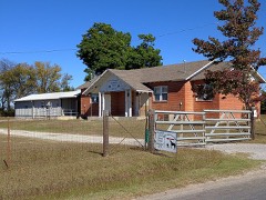 | Antioch Dependent School District #15 | building | 2004 | 04001333 |
| Beaty School | building | 2017 | 100001592 | |
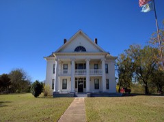 | Erin Springs Mansion | building | 1970 | 70000534 |
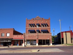 | Eskridge Hotel | building | 1979 | 79001994 |
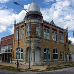 | First National Bank Building | building | 2001 | 01000659 |
| Fort Arbuckle Site | site | 1972 | 72001064 | |
 | Garvin County Courthouse | building | 1985 | 85002758 |
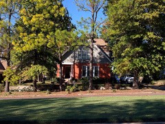 | Hargis-Mitchell-Cochran House | building | 1982 | 82003684 |
| Initial Point | object | 1970 | 70000533 | |
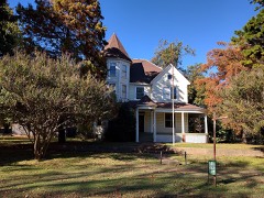 | Moore-Settle House | building | 1983 | 83002086 |
| Pauls Valley Historic District | district | 1979 | 79001993 | |
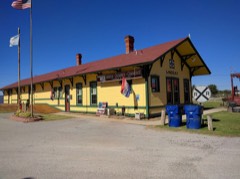 | Santa Fe Depot of Lindsay | building | 1986 | 86000863 |
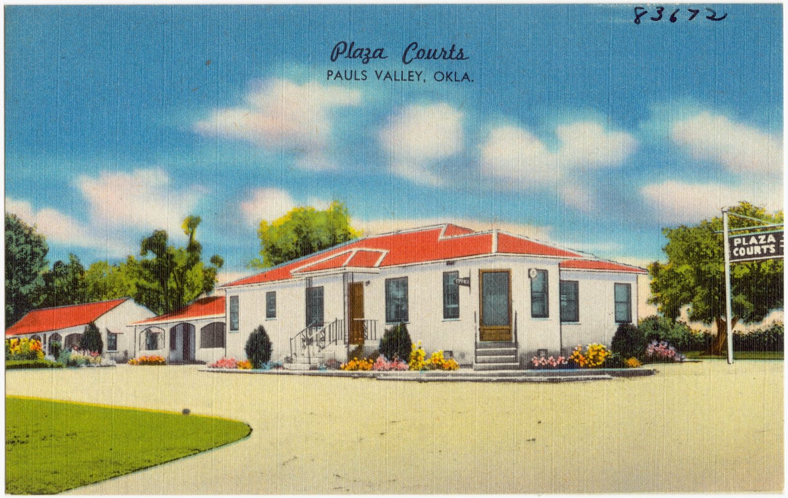
Selected from the Digital Public Library of America's 1 image records catalogued for this county. Every one shown here carries a public-domain status or a licence that permits reuse on a site that carries advertising; non-commercial, share-alike and restricted images are excluded. The selection is spread across the county's towns (at most eight per town), so no single institution's bulk upload crowds out the rest. Each opens the holding library's record, and the complete set at the Digital Public Library of America is one click away.
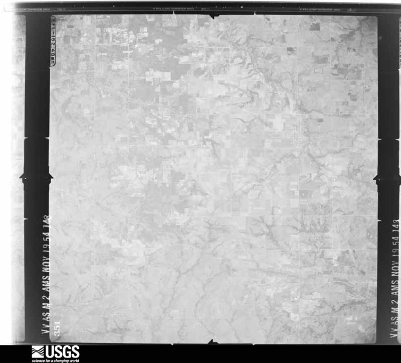
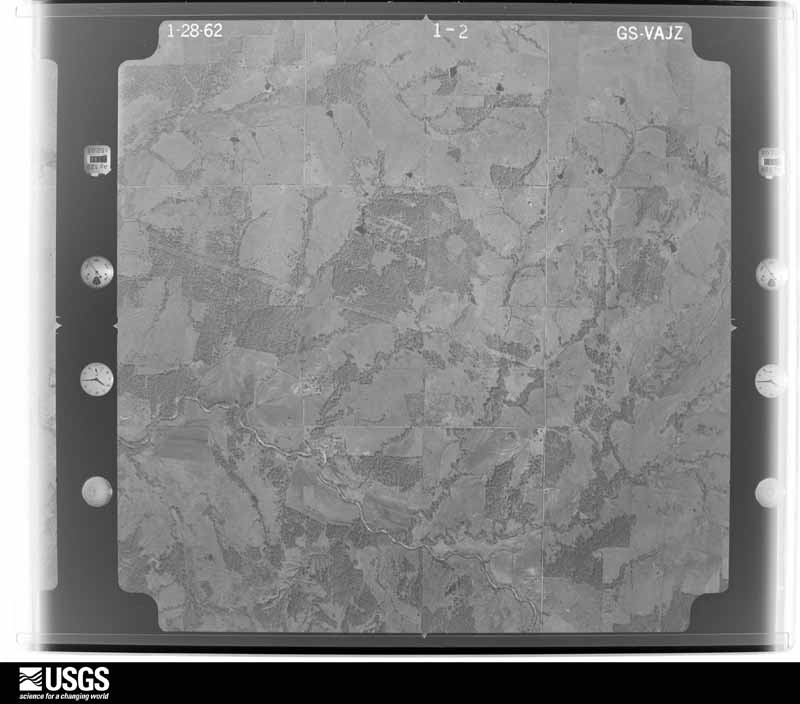
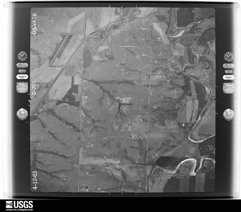
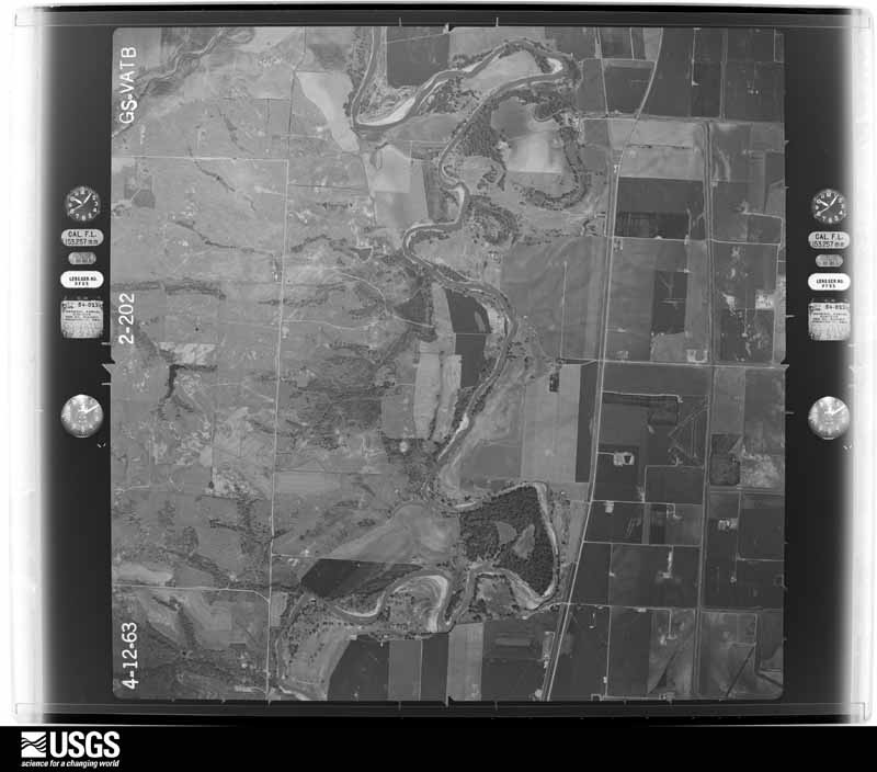
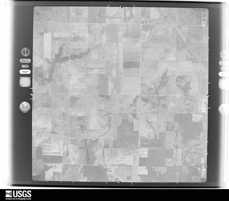
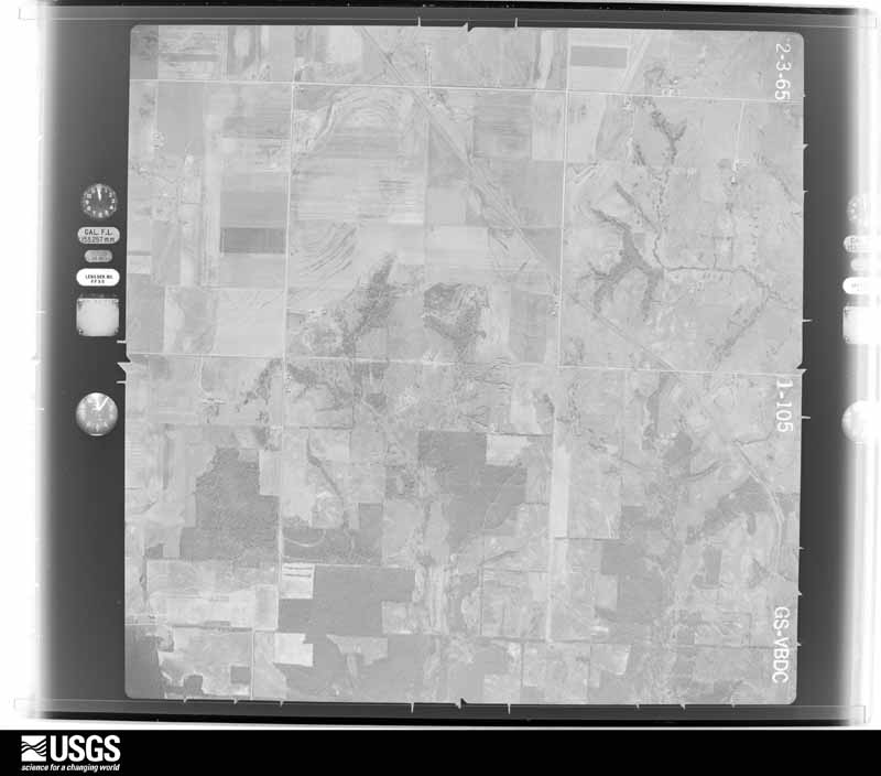
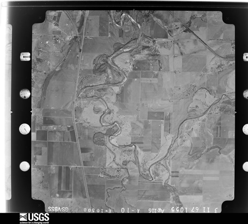
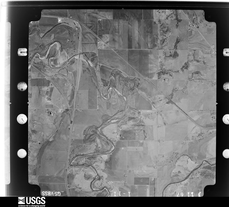
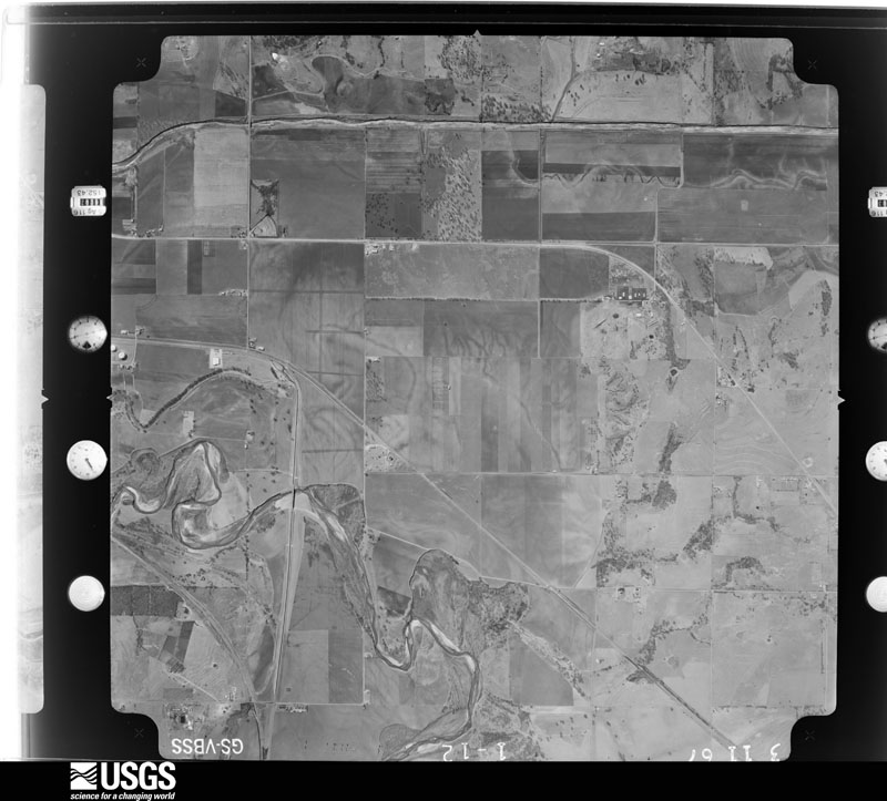
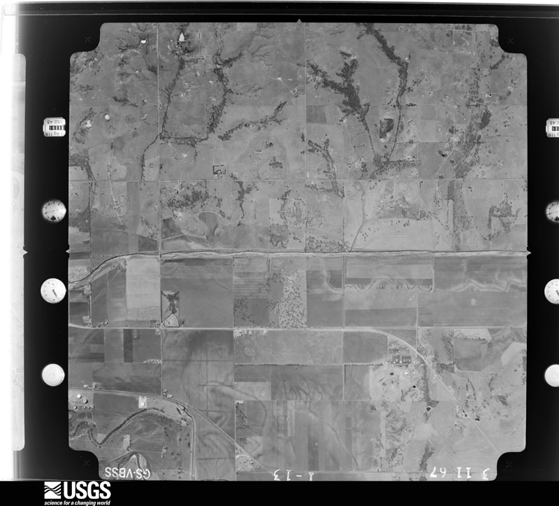
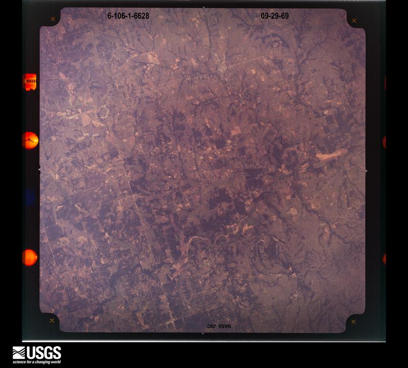
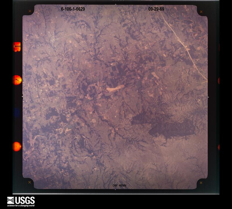
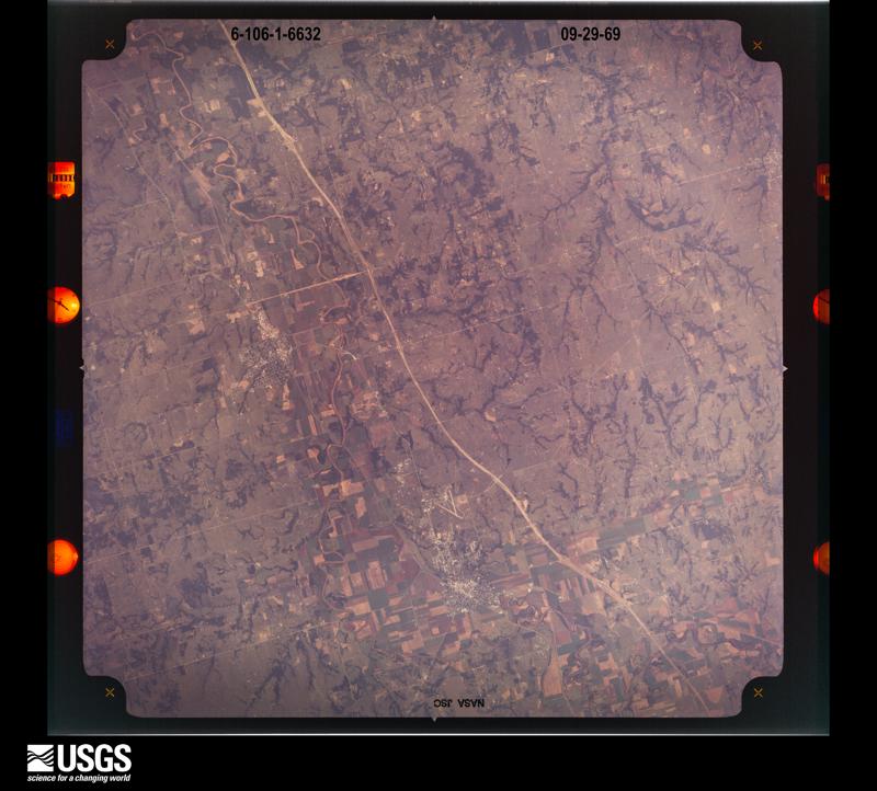
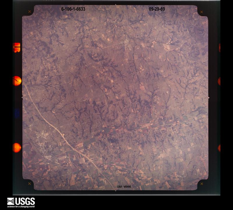
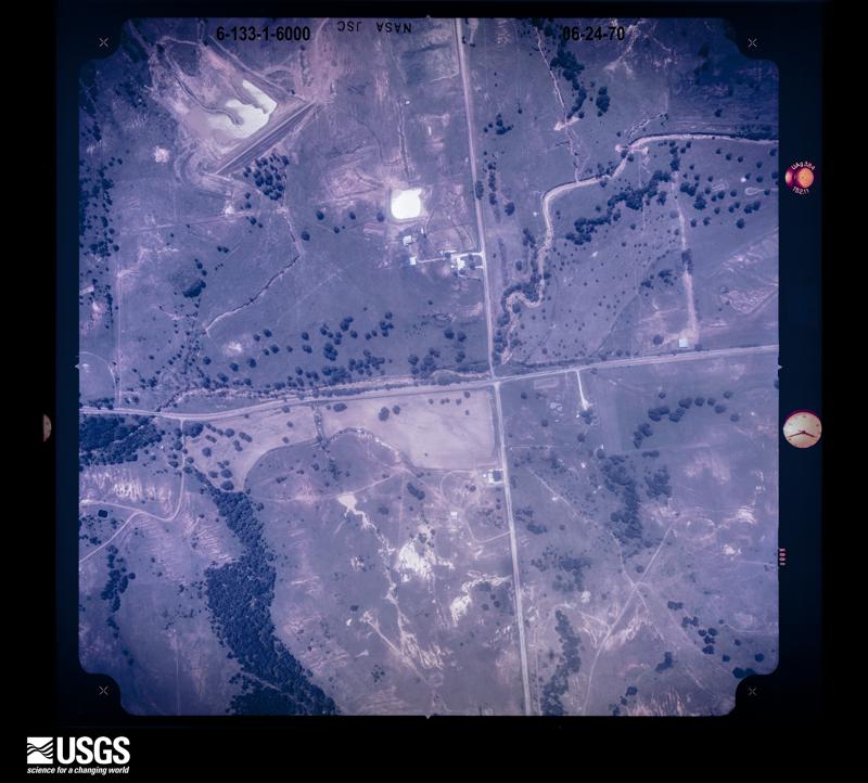
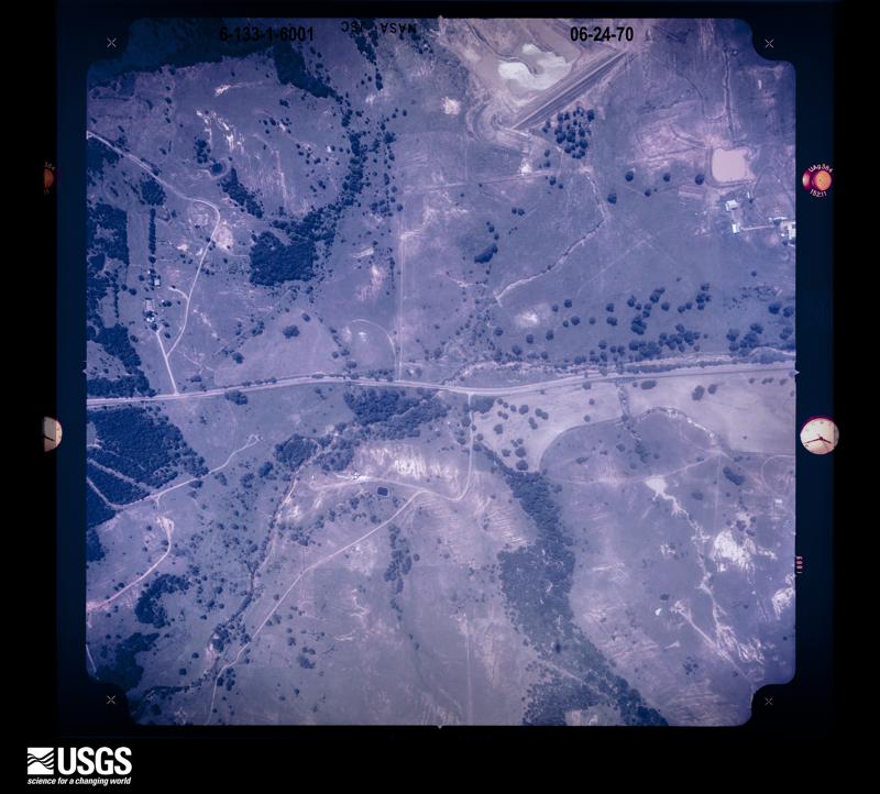
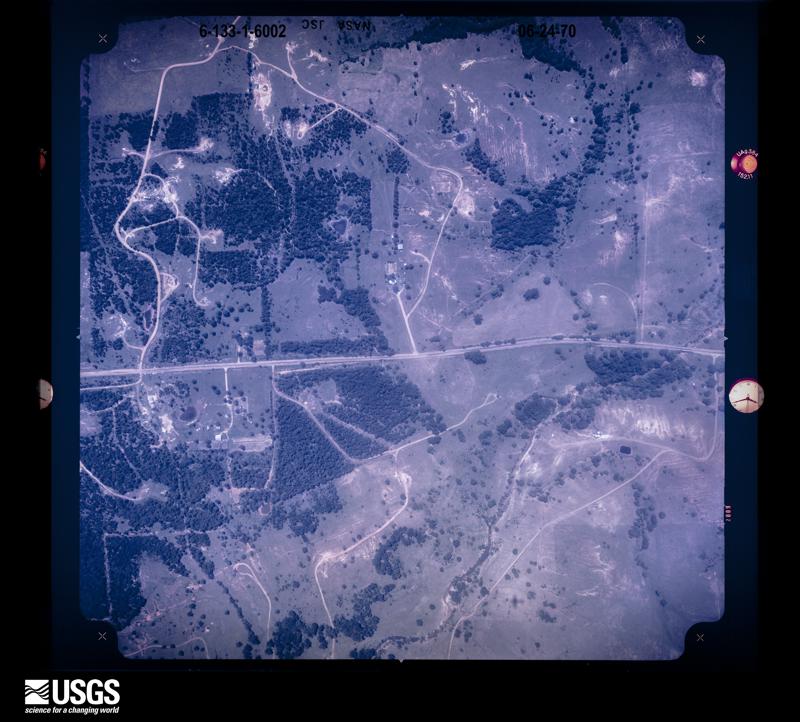
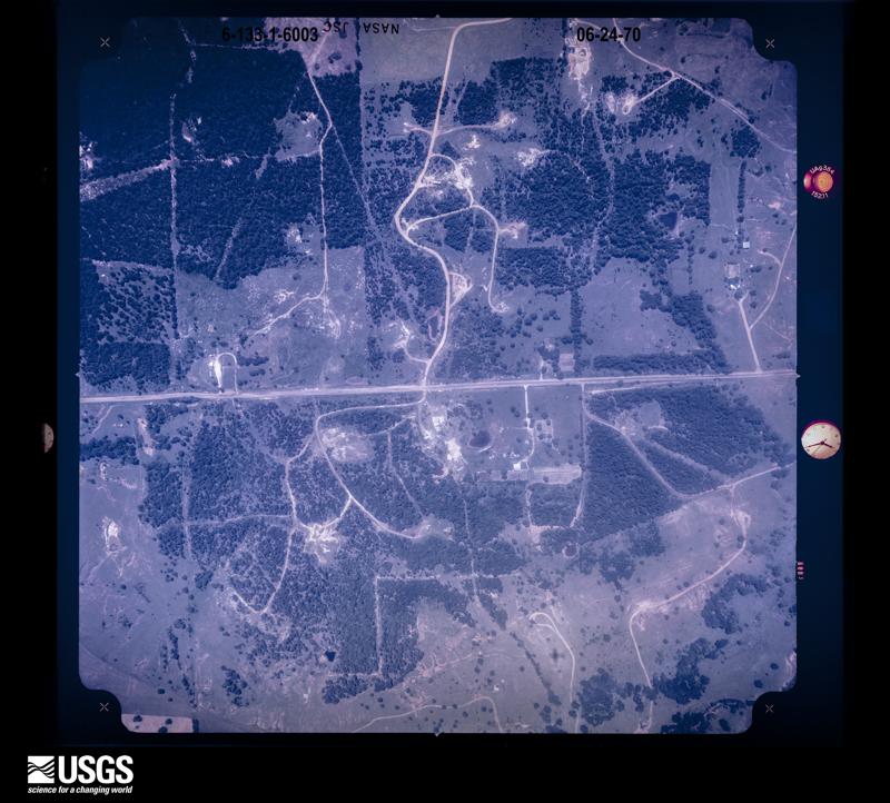
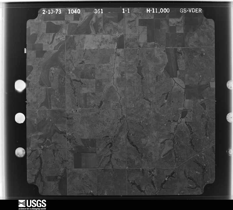
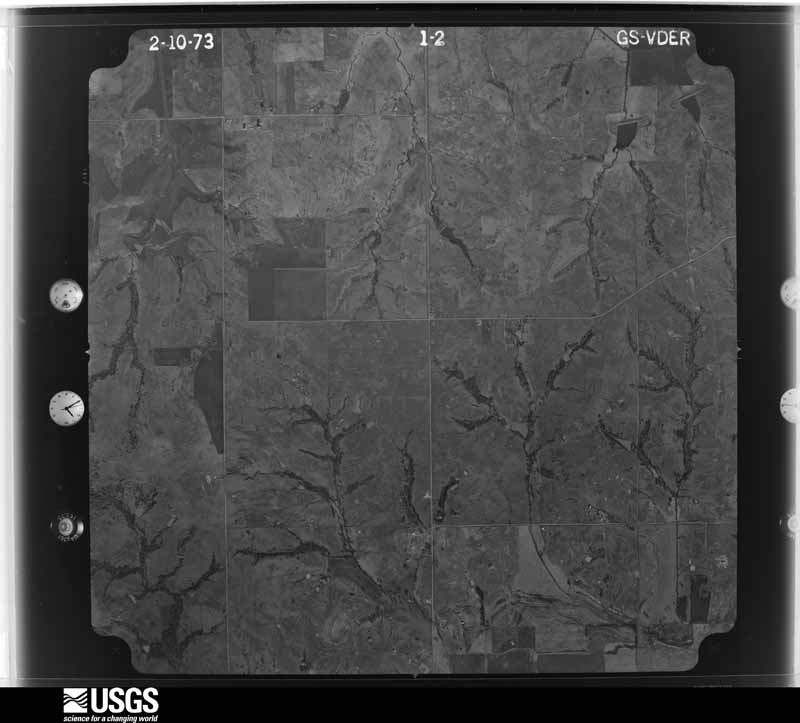
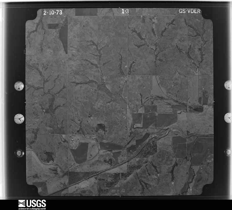
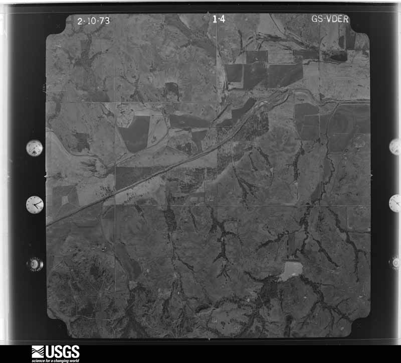
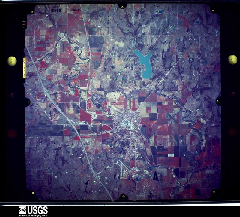
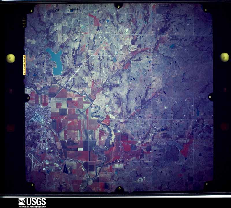
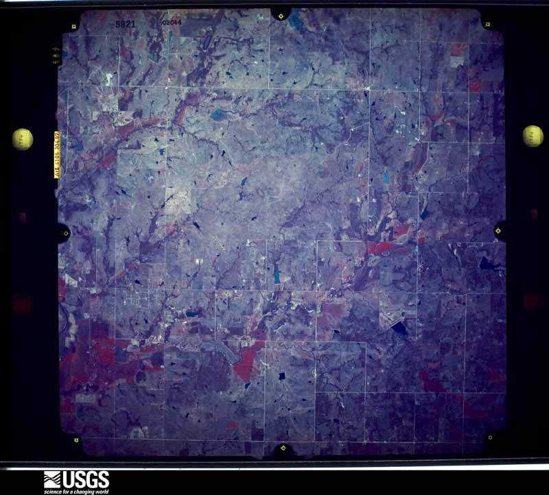
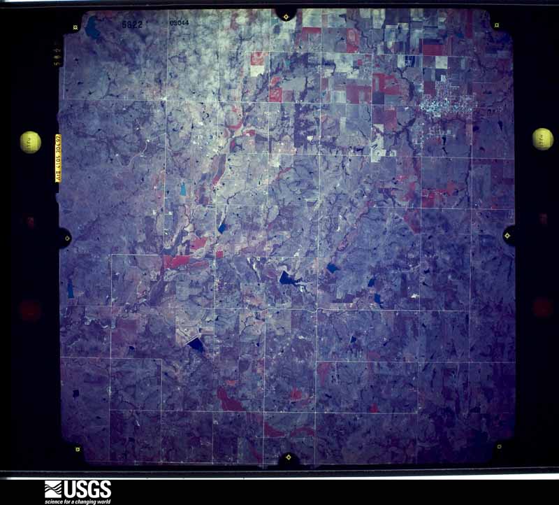
Flown by the U.S. Geological Survey between 1937 and 1989, the Aerial Photo Single Frames collection is the definitive mid-century view of the land: fields, roads and rivers as the camera saw them. The Survey holds 1,085 frames inside the rectangle that bounds this county; the 36 frames below were taken over the county itself, chosen across the decades of flights (at most four a year from that rectangle), so one flight cannot crowd out the rest. The full set is free to browse and download at EarthExplorer under the dataset Aerial Photo Single Frames.






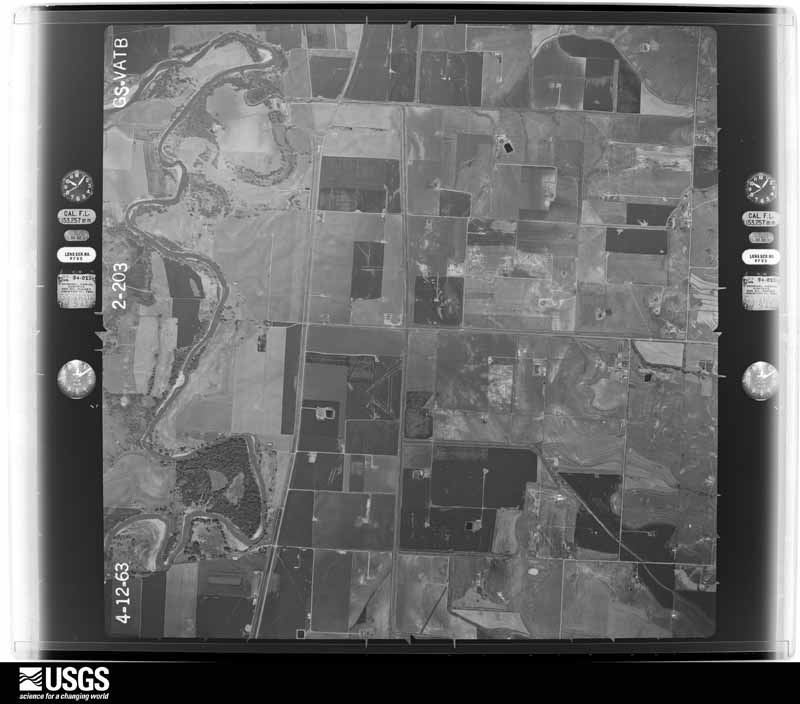
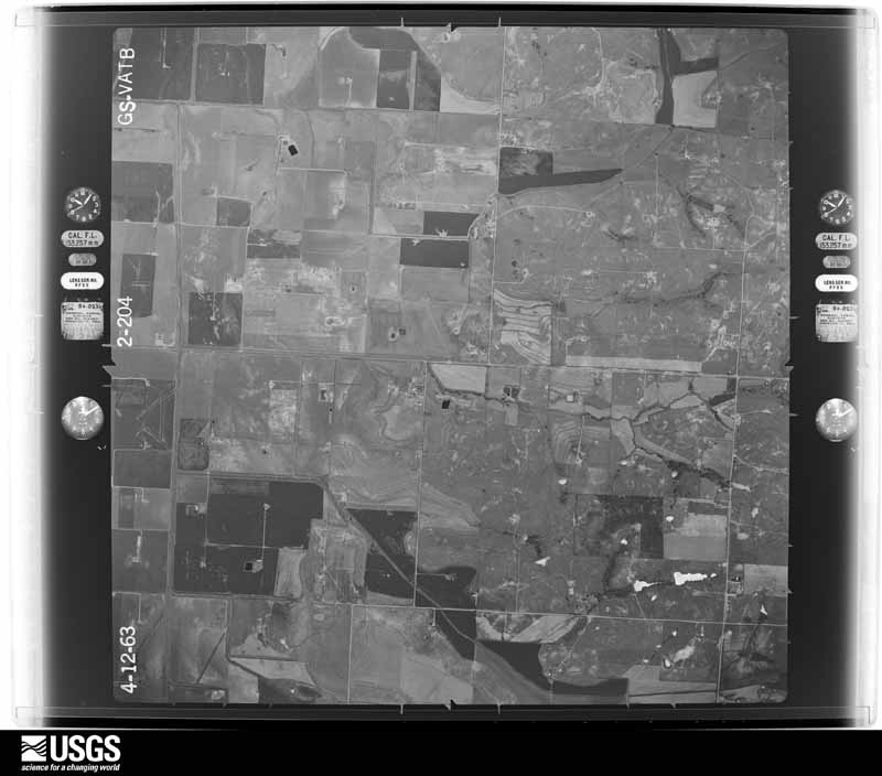
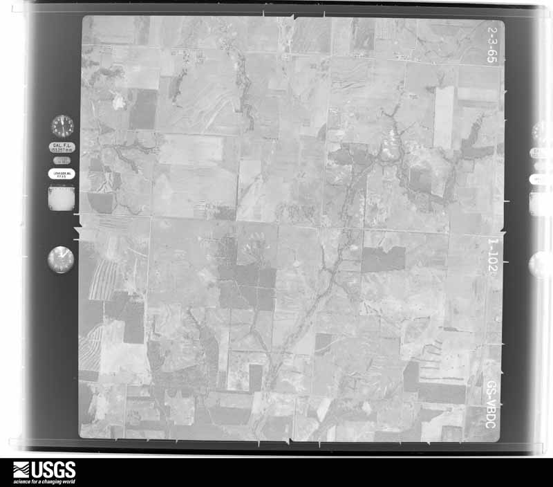
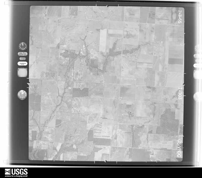
The thermometers that kept this county's weather, and the gages that measured the flow of its streams, as the federal records hold them. The extremes below are measured values from those records, not estimates.
Who lived here in 1950, one enumeration district at a time, as the Census Bureau described each district. Each row opens its official National Archives result, with Population Schedules and ED Maps available there.
Every wildfire the federal occurrence database records inside this county: 66 of them, burning about 26,517 acres. 5 started naturally and 13 were recorded as arson. Each settlement page carries the fires within five miles of it.
| Reported cause | Fires |
|---|---|
| Missing data/not specified/undetermined | 25 |
| Debris and open burning | 15 |
| Arson/incendiarism | 13 |
| Natural | 5 |
| Equipment and vehicle use | 4 |
| Power generation/transmission/distribution | 2 |
| Recreation and ceremony | 1 |
| Fireworks | 1 |
The five largest, by the area the report gives. Two of them were set deliberately.
| Date | Cause | Size | Reported by | Name on the report |
|---|---|---|---|---|
| 27 November 2005 | Missing data/not specified/undetermined | 7,000 acres | Chickasaw Agency | ANTIOCH |
| 13 July 2011 | Natural | 4,800 acres | Chickasaw National Recreation Area | ARBUCKLE COMPLEX |
| 27 November 2005 | Missing data/not specified/undetermined | 4,000 acres | Oklahoma Division of Forestry | ELMORE CITY |
| 1 October 2000 | Missing data/not specified/undetermined | 4,000 acres | Oklahoma Division of Forestry | SOUTHDOWN ESTATES |
| 12 March 2008 | Arson/incendiarism | 2,500 acres | Chickasaw Agency | RATCLIFF CITY |
| 17 August 2010 | Natural | 725 acres | Chickasaw National Recreation Area | ARCADIA |
| 1 February 2018 | Arson/incendiarism | 491 acres | Chickasaw Agency | ELMORE CITY |
| 13 November 2005 | Missing data/not specified/undetermined | 400 acres | Chickasaw Agency | LARRYSCROG |
Every settlement page carries the fires within five miles of it - see the settlement index below.
The NOAA Storm Events Database holds 768 reports for this county, causing 6 deaths, 24 injuries and about $23,051,410 in recorded property damage. Each settlement page carries the reports that name it.
| Kind of event | Reports |
|---|---|
| Hail | 401 |
| Thunderstorm Wind | 248 |
| Tornado | 69 |
| Flash Flood | 36 |
| Flood | 8 |
| Lightning | 5 |
| Wildfire | 1 |
The most serious of them, by death, then injury, then recorded damage. The accounts are quoted exactly as the forecast office filed them.
| When | Event | Place named | Harm | What the report says |
|---|---|---|---|---|
| April 1972 | Tornado (F4) | not stated | 5 killed, 3 hurt, $25,000 | no account filed |
| May 2016 | Tornado (EF4) | Hennepin | 1 killed, $1,000,000 | A tornado developed 1.25 miles south of the community of Katie, OK, or about 3.4 miles north of Hennepin. The tornado was observed to be very dynamic as it moved east-northeast and east. Initially damage was confined to trees until the tornado crossed county road 1690 where a home was destroyed where only interior walls remained standing. To the east of this house, two mobile homes were damaged on the southern periphery of the tornado path. The tornado moved east-northeast damaging another mobile home, then east removing the roof from a home on Indian Meridian Road.||The tornado varied in movement between northeast and southeast as it approached and crossed county road 1680. A home was destroyed near county road 1680 and Indian Meridian Road where an EF4 rating was applied (DI 2, DOD 9). Further east, a fatality occurred when the tornado destroyed a modular home. After destroying another home, the tornado moved northeast and dissipated near Interstate 35. |
| February 1975 | Tornado (F2) | not stated | 14 hurt, $2,500,000 | no account filed |
| April 1973 | Tornado (F2) | not stated | 2 hurt, $2,500,000 | no account filed |
| February 1961 | Tornado (F3) | not stated | 1 hurt, $2,500,000 | no account filed |
| March 1961 | Tornado (F2) | not stated | 1 hurt, $250,000 | no account filed |
| May 2008 | Tornado (EF1) | Paoli | 1 hurt, $50,000 | A tornado briefly touched down five miles east-southeast of Paoli. At this location, a mobile home was moved off of its foundation, causing damage to the home. A few trees were also damaged near the residence. One person received minor injuries as a result of being inside of the mobile home. No other damage was reported. Monetary damages were estimated. |
| May 1977 | Tornado (F2) | not stated | 1 hurt, $25,000 | no account filed |
| April 1957 | Tornado (F2) | not stated | 1 hurt, $25,000 | no account filed |
| April 2007 | Lightning | Wynnewood | $3,000,000 | no account filed |
| March 1998 | Thunderstorm Wind | Pauls Valley | $2,500,000 | Severe thunderstorm winds caused major damage at Pauls Valley Airport and minor roof damage in town. At the airport a maintenance shop, 14 hangars, and 8 to 10 planes were completely destroyed. Damage at the airport was estimated at $1,500,00. An Oklahoma Natural Gas shop south of Pauls Valley sustained $150,000 in damage to the roof, walls, and garage doors. The Pauls Valley armory lost most of its new roof and air conditioner in the severe storm. Outbuildings, signs, and trees were destroyed throughout town. An historic barn was also destroyed. Total damage in the area was estimated at 2 to 3 million dollars. |
| March 1990 | Tornado (F3) | not stated | $2,500,000 | no account filed |
| March 1990 | Tornado (F2) | not stated | $2,500,000 | no account filed |
| May 1986 | Tornado (F1) | not stated | $250,000 | no account filed |
| May 1984 | Tornado (F2) | not stated | $250,000 | no account filed |
| May 1984 | Tornado (F2) | not stated | $250,000 | no account filed |
| May 1957 | Tornado (F2) | not stated | $250,000 | no account filed |
| November 2024 | Thunderstorm Wind | Whitebead | $200,000 | After the tornado dissipated west of Pauls Valley, the thunderstorm continued to produce widespread winds with areas of 60-100 mph winds near and east of the community of White Bead and west and north of Pauls Valley. Around a dozen houses had some damage, at least two outbuildings were destroyed, and tree and powerline damage occurred at various locations within the area of wind. |
| April 2020 | Tornado (EF1) | Pauls Valley | $200,000 | A tornado moved east-southeast from west of County Road 3210 about a mile and a half north of State Highway 29 to just east of Indian Meridian Road. Seven homes, a few outbuildings, trees and power poles were damaged. |
| June 2014 | Flood | Pauls Valley | $150,000 | Over a foot of water reported on streets in downtown Pauls Valley. Several cars stalled in the deep waters. |
| February 2001 | Thunderstorm Wind | Pauls Valley | $125,000 | Six apartment buildings sustained major roof damage at Arrowhead Apartments on the southwest side of Pauls Valley. |
| June 2025 | Thunderstorm Wind | Pauls Valley | $100,000 | Tree and powerline damage occurred in and around the community of Pauls Valley, including a few trees/tree limbs that were blown onto houses, vehicles and at least one large business sign. A relayed image shows a large metal carport vaulted onto the roof of the Pauls Valley Police Department Building. The location is approximate, and the event time is estimated from radar observations. |
| May 2001 | Thunderstorm Wind | Pauls Valley | $100,000 | Considerable structural damage was sustained to the Pauls Valley Municipal Airport. |
| September 2000 | Wildfire | South Portion | $100,000 | no account filed |
| April 2022 | Thunderstorm Wind | Whitebead | $75,000 | Thunderstorm wind damage occurred along a 3-mile long, 1/4-mile wide area stretching from west to east along County Road 1580 and Royal Oak Road. An apartment building along Indian Meridian Road had its roof removed by the winds and a mobile home also suffered some roof damage. There were a number of trees damaged within this area. Evidence showed nearly all of the winds within this broad area were from west to east, with the exception of evidence of rotational winds near and east of County Road 3220 (see separate entry for this tornado). |
| January 2010 | Lightning | Wynnewood | $75,000 | A large barn was struck by lightning and burned to the ground. Monetary damages were estimated. |
| March 2004 | Thunderstorm Wind | Hennepin | $75,000 | A barn and mobile home were damaged on Highway 7, approximately 3 miles west of Interstate 35. A telephone pole was snapped and an outbuilding blown over in this area. |
| April 2013 | Hail | Pauls Valley | $70,000 | Hail ranged from ping pong ball to golf ball size. Damage to multiple vehicles and homes in and around the Pauls Valley area. Damages estimated. |
| July 2003 | Thunderstorm Wind | Lindsay | $65,000 | Several trees and power poles were downed. One tree fell on a car while another, approximately five feet in diameter, fell on a house. |
| May 2015 | Flash Flood | Whitebead | $60,000 | Areas roads covered in one to three feet of water. Several vehicles stranded and stalled. |
| June 2012 | Thunderstorm Wind | Wynnewood | $60,000 | Wynnewood police department reported numerous power poles and trees down in the town of Wynnewood. Quarter sized hail was also reported. |
| April 2025 | Thunderstorm Wind | Stratford | $50,000 | Thunderstorm wind damage in and around the community of Stratford including power poles and power lines blown down and a barn damaged. Event time is estimated from radar observations. |
| April 2025 | Thunderstorm Wind | Stratford | $50,000 | A relayed image showing a small radio tower collapsed onto a gas station awning. Event time is estimated from radar observations. |
| November 2024 | Tornado (EF1) | Antioch | $50,000 | This tornado moved from about 8 miles due west of Pauls Valley to 5.7 miles west of Pauls Valley, primarily along E1570 Road. One home suffered roof damage, a barn suffered roof and siding damage, and numerous trees were damaged by this tornado. |
| May 1995 | Tornado (F1) | Stratford | $50,000 | no account filed |
| May 2015 | Thunderstorm Wind | Pauls Valley | $40,000 | Metal trailer and two storage sheds destroyed at intersection of Highway 19 and County Road 1550. |
| August 2006 | Thunderstorm Wind | Wynnewood | $40,000 | A downburst of strong winds caused damage at the Southern Oklahoma Resource Center campus. The roof was damaged on one building. Tree limbs were downed. A few windows were also broken. |
| April 2022 | Tornado (EF0) | Pauls Valley | $30,000 | A brief tornado occurred just southwest of Pauls Valley within a much broader area of wind damage. Although much of the damage in the Pauls Valley area indicated straight-line winds blowing from west to east, debris indicated a small area of rotational winds associated with a tornado near the intersection of County Road 3220, and Royal Oaks Road which damaged a salon and pushed farm implements to the west. |
| April 2021 | Tornado (EF1) | Pauls Valley | $30,000 | A tornado developed about 4 miles southeast of Pauls Valley and moved northeast and then north dissipating about 4 and a half miles east-northeast of Pauls Valley. One home on county road 3285 suffered roof damage. At least one outbuilding was destroyed and two others damaged along the path. |
| March 2004 | Thunderstorm Wind | Stratford | $30,000 | The frame and other materials to a house under construction were destroyed. A RV was turned over onto its roof. A pickup truck was also damaged. |
| April 2025 | Thunderstorm Wind | Wynnewood | $25,000 | A relayed image showing a fifth wheel travel trailer blown over. Event time is estimated from radar observations. |
| April 2025 | Thunderstorm Wind | Wynnewood | $25,000 | A social media video showing a large metal outbuilding destroyed. Event time is estimated from radar observations. |
| April 2025 | Thunderstorm Wind | Hennepin | $25,000 | Relayed images showing a 40-by-60-foot hay barn destroyed. Event time is estimated by radar observations. |
| April 2025 | Flash Flood | Maysville | $25,000 | The intersection of Wallville Road and 1528 Road was washed out due to flooding. This occurred as a result of water rise from Happy Hollow Creek. Event time is approximate. |
| May 1977 | Tornado (F1) | not stated | $25,000 | no account filed |
| May 1977 | Tornado (F1) | not stated | $25,000 | no account filed |
| May 1968 | Tornado (F1) | not stated | $25,000 | no account filed |
| May 1968 | Tornado (F1) | not stated | $25,000 | no account filed |
| July 1961 | Tornado (F1) | not stated | $25,000 | no account filed |
| May 1960 | Tornado (F2) | not stated | $25,000 | no account filed |
| May 1960 | Tornado (F3) | not stated | $25,000 | no account filed |
| April 1954 | Tornado (F1) | not stated | $25,000 | no account filed |
| June 1953 | Tornado (F3) | not stated | $25,000 | no account filed |
| September 1998 | Thunderstorm Wind | Pauls Valley | $22,000 | no account filed |
| June 2019 | Thunderstorm Wind | Pauls Valley | $20,000 | Reports of five semi trucks overturned between mile markers 67 and 74 on I-35 near Pauls Valley. |
| June 2019 | Thunderstorm Wind | Pauls Valley | $20,000 | Numerous large trees down. Store front windows blown out. Large steel power poles bent. |
| May 2013 | Hail | Wynnewood | $20,000 | Hail near softball size was reported along with wind gusts of 50 to 60 mph. |
| August 2007 | Flash Flood | Lindsay | $20,000 | Four businesses had flood damage. Numerous streets in town also had to be closed due to high water. Several streets in Maysville also had to be closed due to high water. Monetary damages were estimated. |
| April 1999 | Thunderstorm Wind | Wynnewood | $20,000 | no account filed |
| November 1998 | Thunderstorm Wind | Pauls Valley | $20,000 | no account filed |
The Survey's mineral resources record lists 102 workings inside this county. 3 still produce and 99 are closed or unrecorded. Each settlement page carries the workings within five miles of it.
| Commodity | Workings |
|---|---|
| Sand and Gravel, Construction | 93 |
| Copper | 7 |
| Silver | 1 |
| Gold | 1 |
| Lead | 1 |
| Silver, Chromium, Molybdenum, Vanadium | 1 |
| Pumice | 1 |
| Silver, Copper | 1 |
The least common of them first, because a county's hundredth gravel pit says nothing its first ten did not.
| Where | Site | Commodity | Status | Recorded |
|---|---|---|---|---|
| Brady East | Lead, Copper, Silver, Chromium, Molybdenum, Vanadium | Occurrence | 1974 | |
| Paoli | Silver, Copper | Prospect | 1900 | |
| Volcanic Ash Prospect | Pumice | Prospect | ||
| Wolf Ridge Prospect | Copper, Silver, Gold | Occurrence | 1972 | |
| Copper Prospect | Copper | Prospect | ||
| Initial Rock | Copper | Occurrence | 1929 | |
| Teepee Queen | Copper | Past Producer | 1928 | |
| Washington Creek | Copper | Occurrence | 1929 | |
| Wiggley Hill | Copper | Occurrence | 1929 | |
| Unknown Gravel Pit | Sand and Gravel, Construction | Past Producer | ||
| Unknown Gravel Pit | Sand and Gravel, Construction | Past Producer | ||
| Unknown Gravel Pit | Sand and Gravel, Construction | Past Producer | ||
| Unknown Sand Pit | Sand and Gravel, Construction | Past Producer | ||
| Unknown Sand Pit | Sand and Gravel, Construction | Past Producer | ||
| Unknown Sand Pit | Sand and Gravel, Construction | Past Producer | ||
| Unknown Sand Pit | Sand and Gravel, Construction | Past Producer | ||
| Unknown Sand Pit | Sand and Gravel, Construction | Past Producer | ||
| Unknown Sand Pit | Sand and Gravel, Construction | Past Producer | ||
| Unknown Sand Pit | Sand and Gravel, Construction | Past Producer | ||
| Unknown Sand Pit | Sand and Gravel, Construction | Past Producer | ||
| Unknown Sand Pit | Sand and Gravel, Construction | Past Producer | ||
| Unknown Sand Pit | Sand and Gravel, Construction | Past Producer | ||
| Unknown Sand Pit | Sand and Gravel, Construction | Past Producer | ||
| Unknown Sand Pit | Sand and Gravel, Construction | Past Producer | ||
| Unknown Sand Pit | Sand and Gravel, Construction | Past Producer | ||
| Unknown Sand Pit | Sand and Gravel, Construction | Past Producer | ||
| Unknown Sand and Gravel Pit | Sand and Gravel, Construction | Past Producer | ||
| Unknown Sand and Gravel Pit | Sand and Gravel, Construction | Past Producer | ||
| Unknown Sand and Gravel Pit | Sand and Gravel, Construction | Past Producer | ||
| Unknown Sand and Gravel Pit | Sand and Gravel, Construction | Past Producer | ||
| Unknown Sand and Gravel Pit | Sand and Gravel, Construction | Past Producer | ||
| Unknown Sand and Gravel Pit | Sand and Gravel, Construction | Past Producer | ||
| Unknown Sand and Gravel Pit | Sand and Gravel, Construction | Past Producer | ||
| Unknown Sand and Gravel Pit | Sand and Gravel, Construction | Past Producer | ||
| Unknown Sand and Gravel Pit | Sand and Gravel, Construction | Past Producer | ||
| Unknown Sand and Gravel Pit | Sand and Gravel, Construction | Past Producer | ||
| Unknown Sand and Gravel Pit | Sand and Gravel, Construction | Past Producer | ||
| Unknown Sand and Gravel Pit | Sand and Gravel, Construction | Past Producer | ||
| Unknown Sand and Gravel Pit | Sand and Gravel, Construction | Past Producer | ||
| Unknown Sand and Gravel Pit | Sand and Gravel, Construction | Past Producer | ||
| Unknown Sand and Gravel Pit | Sand and Gravel, Construction | Past Producer | ||
| Unknown Sand and Gravel Pit | Sand and Gravel, Construction | Past Producer | ||
| Unknown Sand and Gravel Pit | Sand and Gravel, Construction | Past Producer | ||
| Unknown Sand and Gravel Pit | Sand and Gravel, Construction | Past Producer | ||
| Unknown Sand and Gravel Pit | Sand and Gravel, Construction | Past Producer | ||
| Unknown Sand and Gravel Pit | Sand and Gravel, Construction | Past Producer | ||
| Unknown Sand and Gravel Pit | Sand and Gravel, Construction | Past Producer | ||
| Unknown Sand and Gravel Pit | Sand and Gravel, Construction | Past Producer | ||
| Unknown Sand and Gravel Pit | Sand and Gravel, Construction | Past Producer | ||
| Unknown Sand and Gravel Pit | Sand and Gravel, Construction | Past Producer | ||
| Unknown Sand and Gravel Pit | Sand and Gravel, Construction | Past Producer | ||
| Unknown Sand and Gravel Pit | Sand and Gravel, Construction | Past Producer | ||
| Unknown Sand and Gravel Pit | Sand and Gravel, Construction | Past Producer | ||
| Unknown Sand and Gravel Pit | Sand and Gravel, Construction | Past Producer | ||
| Unknown Sand and Gravel Pit | Sand and Gravel, Construction | Producer | ||
| Unknown Sand and Gravel Pit | Sand and Gravel, Construction | Past Producer | ||
| Unknown Sand and Gravel Pit | Sand and Gravel, Construction | Past Producer | ||
| Unknown Sand and Gravel Pit | Sand and Gravel, Construction | Past Producer | ||
| Unknown Sand and Gravel Pit | Sand and Gravel, Construction | Past Producer | ||
| Unknown Sand and Gravel Pit | Sand and Gravel, Construction | Past Producer | ||
| Unknown Sand and Gravel Pit | Sand and Gravel, Construction | Past Producer | ||
| Unknown Sand and Gravel Pit | Sand and Gravel, Construction | Past Producer | ||
| Unknown Sand and Gravel Pit | Sand and Gravel, Construction | Past Producer | ||
| Unknown Sand and Gravel Pit | Sand and Gravel, Construction | Past Producer | ||
| Unknown Sand and Gravel Pit | Sand and Gravel, Construction | Past Producer | ||
| Unknown Sand and Gravel Pit | Sand and Gravel, Construction | Past Producer | ||
| Unknown Sand and Gravel Pit | Sand and Gravel, Construction | Past Producer | ||
| Unknown Sand and Gravel Pit | Sand and Gravel, Construction | Past Producer | ||
| Unknown Sand and Gravel Pit | Sand and Gravel, Construction | Past Producer | ||
| Unknown Sand and Gravel Pit | Sand and Gravel, Construction | Past Producer | ||
| Unknown Sand and Gravel Pit | Sand and Gravel, Construction | Past Producer | ||
| Unknown Sand and Gravel Pit | Sand and Gravel, Construction | Past Producer | ||
| Unknown Sand and Gravel Pit | Sand and Gravel, Construction | Past Producer | ||
| Unknown Sand and Gravel Pit | Sand and Gravel, Construction | Past Producer | ||
| Unknown Sand and Gravel Pit | Sand and Gravel, Construction | Past Producer | ||
| Unknown Sand and Gravel Pit | Sand and Gravel, Construction | Past Producer | ||
| Unknown Sand and Gravel Pit | Sand and Gravel, Construction | Past Producer | ||
| Unknown Sand and Gravel Pit | Sand and Gravel, Construction | Past Producer | ||
| Unknown Sand and Gravel Pit | Sand and Gravel, Construction | Past Producer | ||
| Unknown Sand and Gravel Pit | Sand and Gravel, Construction | Past Producer | ||
| Unknown Sand and Gravel Pit | Sand and Gravel, Construction | Past Producer | ||
| Unknown Sand and Gravel Pit | Sand and Gravel, Construction | Past Producer | ||
| Unknown Sand and Gravel Pit | Sand and Gravel, Construction | Past Producer | ||
| Unknown Sand and Gravel Pit | Sand and Gravel, Construction | Past Producer | ||
| Unknown Sand and Gravel Pit | Sand and Gravel, Construction | Past Producer | ||
| Unknown Sand and Gravel Pit | Sand and Gravel, Construction | Past Producer | ||
| Unknown Sand and Gravel Pit | Sand and Gravel, Construction | Past Producer | ||
| Unknown Sand and Gravel Pit | Sand and Gravel, Construction | Past Producer | ||
| Unknown Sand and Gravel Pit | Sand and Gravel, Construction | Past Producer | ||
| Unknown Sand and Gravel Pit | Sand and Gravel, Construction | Past Producer | ||
| Unknown Sand and Gravel Pit | Sand and Gravel, Construction | Past Producer | ||
| Unknown Sand and Gravel Pit | Sand and Gravel, Construction | Producer | ||
| Unknown Sand and Gravel Pit | Sand and Gravel, Construction | Past Producer | ||
| Unknown Sand and Gravel Pit | Sand and Gravel, Construction | Past Producer | ||
| Unknown Sand and Gravel Pit | Sand and Gravel, Construction | Past Producer | ||
| Unknown Sand and Gravel Pit | Sand and Gravel, Construction | Past Producer | ||
| Unknown Sand and Gravel Pit | Sand and Gravel, Construction | Past Producer | ||
| Unknown Sand and Gravel Pit | Sand and Gravel, Construction | Past Producer |
Named settlements recorded in the Geographic Names Information System, each with the topographic sheets covering it. Villages, hamlets and abandoned places alike. Each is shown with the nearest named watercourse or landform and the survey quadrangle it falls on. The 5 places that were also surveyed for fire insurance come first, with the number of atlases and photographs held for them.
Lindsay census division · 73052 · On Cavel Creek · Lindsay quadrangle
13 sheets, 1902 to 1986
Fire insurance: 4 atlases
Maysville census division · 73057 · On Beef Creek · Maysville quadrangle
16 sheets, 1898 to 1986
Fire insurance: 3 atlases
Pauls Valley census division · 73075 · Pauls Valley quadrangle
16 sheets, 1898 to 1986
Fire insurance: 10 atlases
Stratford census division · 74872 · Stratford quadrangle
13 sheets, 1901 to 1990
Fire insurance: 5 atlases
Pauls Valley census division · 73098 · Pauls Valley quadrangle
16 sheets, 1898 to 1986
Fire insurance: 9 atlases
Pauls Valley census division · 73075 · On East Peavine Creek · Byars SW quadrangle
16 sheets, 1898 to 1986
Elmore City census division · 73433 · On East Rock Creek · Elmore City South quadrangle
14 sheets, 1898 to 1986
Lindsay census division · 73052 · On Rounds Creek · Lindsay quadrangle
13 sheets, 1902 to 1986
Pauls Valley census division · 73030 · On Garrison Creek · Joy quadrangle
15 sheets, 1898 to 1986
Lindsay census division · 73052 · On Happy Hollow Creek · Lindsay quadrangle
13 sheets, 1902 to 1986
Pauls Valley census division · 73074 · On West Owl Creek · Paoli quadrangle
15 sheets, 1898 to 1986
Elmore City census division · 73433 · On Honey Creek · Pernell quadrangle
12 sheets, 1902 to 1986
Elmore City census division · 73433 · Elmore City South quadrangle
14 sheets, 1898 to 1986
16 topographic sheets and 10 fire insurance atlases, 1894 to 1942
16 topographic sheets and 9 fire insurance atlases, 1894 to 1942
13 topographic sheets and 5 fire insurance atlases, 1908 to 1928
13 topographic sheets and 4 fire insurance atlases, 1914 to 1951