 Block
From the record
6 National Register listings published here.
Sources: the National Register database, National Park Service
31 topographic sheets and 37 fire insurance atlases across 8 places.
6 National Register listings published here.
Sources: the National Register database, National Park Service
Every property in this county listed on the National Register of Historic Places, with the year it was listed and the federal nomination document.
| Photograph | Property | Type | Listed | Reference |
|---|---|---|---|---|
| Bank of Nashville | building | 2002 | 02000655 | |
| Dayton School | building | 1988 | 88001369 | |
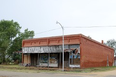 | Deer Creek General Merchandise Store | building | 1984 | 84003024 |
 | Grant County Courthouse | building | 1984 | 84003027 |
| Medford Bathhouse and Swimming Pool | structure | 1988 | 88001368 | |
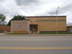 | Pond Creek Masonic Lodge #125 | building | 2010 | 10000622 |
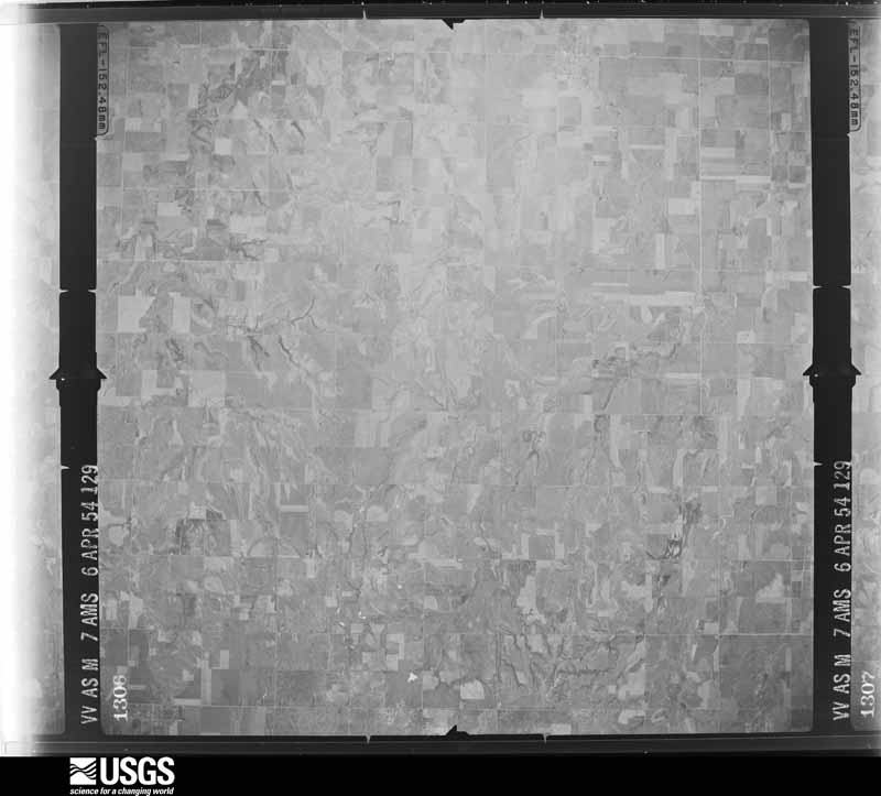
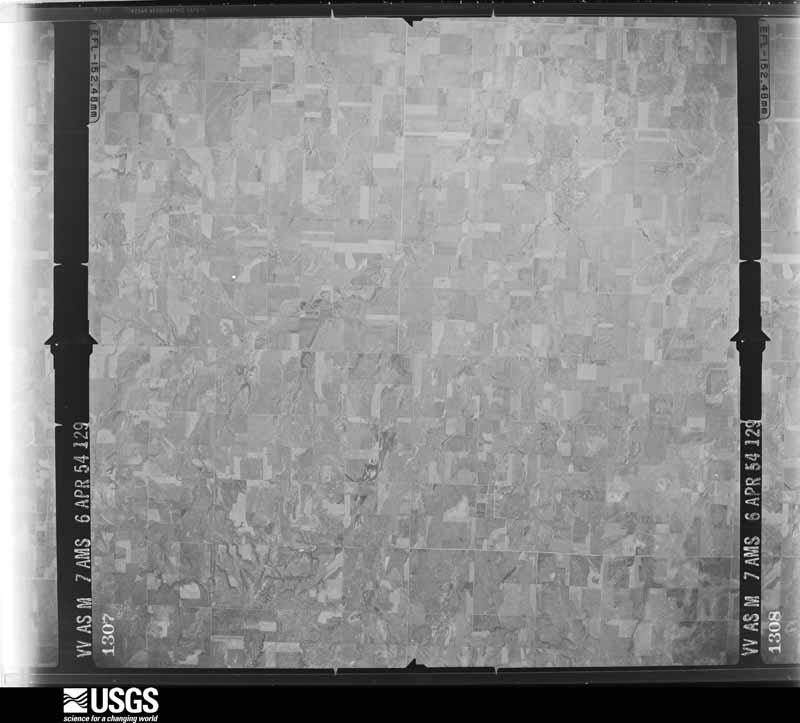
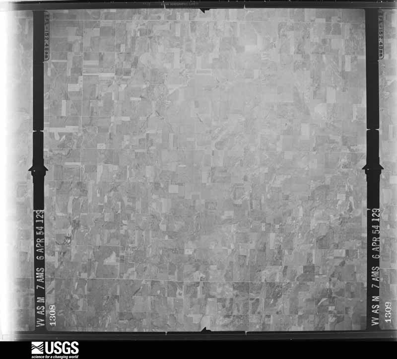
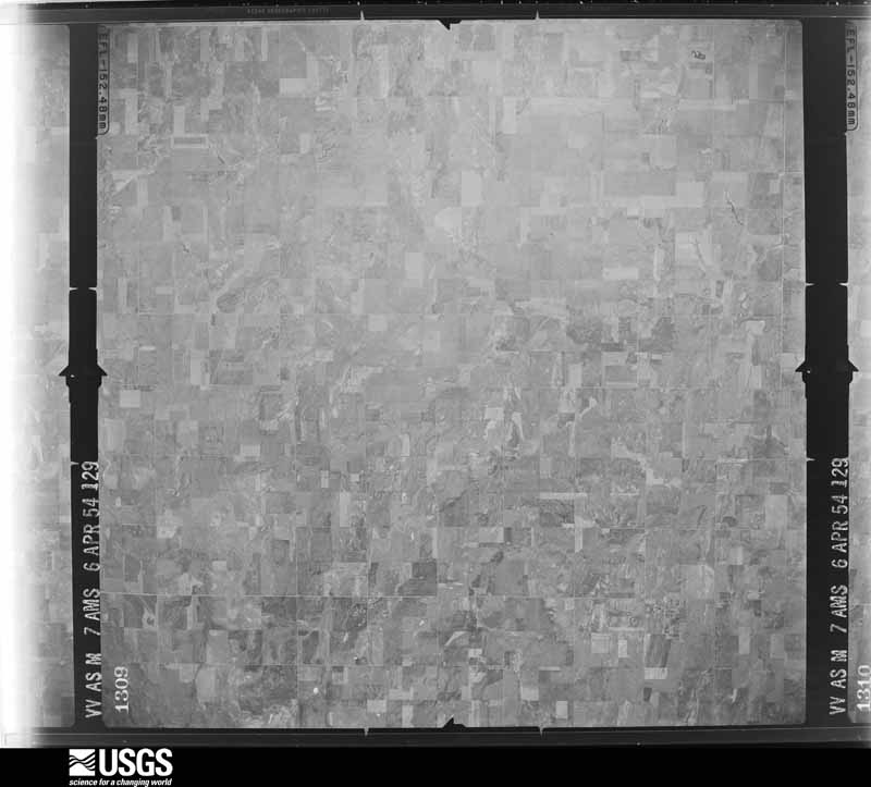
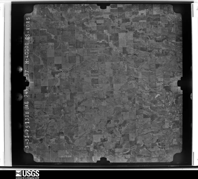
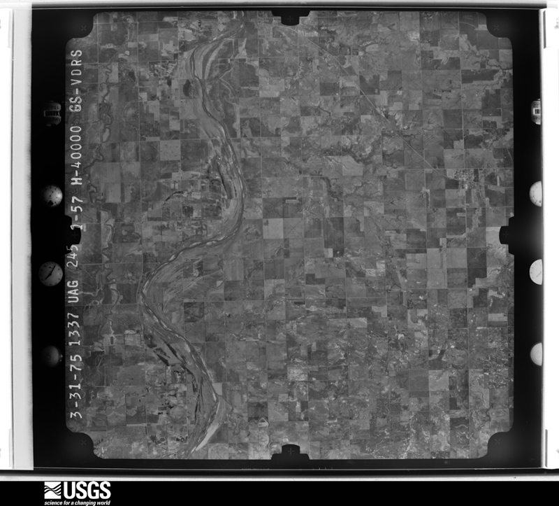
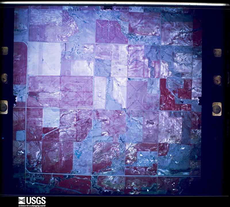
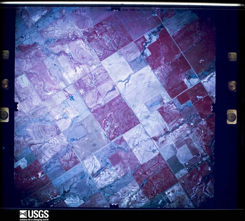
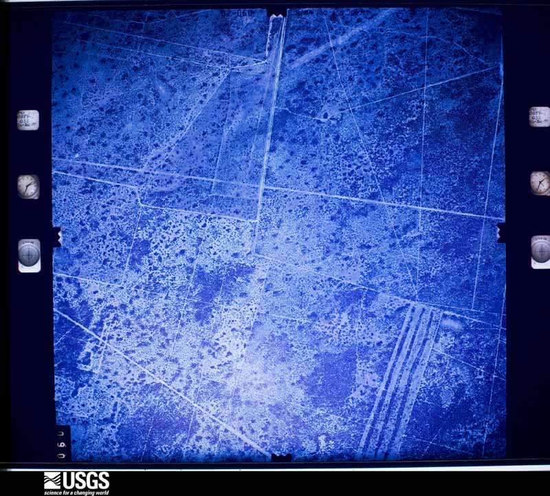
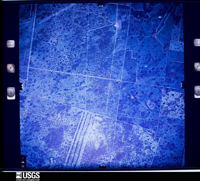
Flown by the U.S. Geological Survey between 1937 and 1989, the Aerial Photo Single Frames collection is the definitive mid-century view of the land: fields, roads and rivers as the camera saw them. The Survey holds 163 frames inside the rectangle that bounds this county; the 15 frames below were taken over the county itself, chosen across the decades of flights (at most four a year from that rectangle), so one flight cannot crowd out the rest. The full set is free to browse and download at EarthExplorer under the dataset Aerial Photo Single Frames.
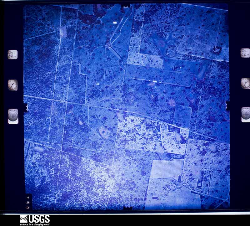

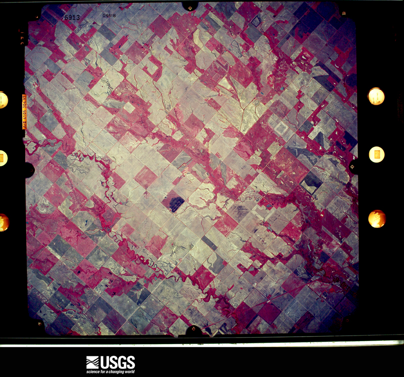

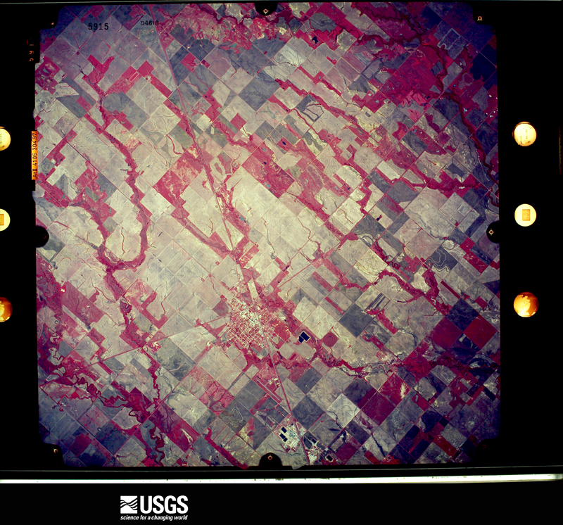
The thermometers that kept this county's weather, as the federal records hold them. The extremes below are measured values from those records, not estimates.
Who lived here in 1950, one enumeration district at a time, as the Census Bureau described each district. Each row opens its official National Archives result, with Population Schedules and ED Maps available there.
Every wildfire the federal occurrence database records inside this county: 1 of them, burning about 1 acre. 1 started naturally and none was recorded as arson. Each settlement page carries the fires within five miles of it.
| Reported cause | Fires |
|---|---|
| Natural | 1 |
The five largest, by the area the report gives. None of them was recorded as arson.
| Date | Cause | Size | Reported by | Name on the report |
|---|---|---|---|---|
| 23 August 2006 | Natural | 1.0 acres | Pawnee Agency | DOG FOOD |
Every settlement page carries the fires within five miles of it - see the settlement index below.
The NOAA Storm Events Database holds 676 reports for this county, causing no deaths, 8 injuries and about $9,833,360 in recorded property damage. Each settlement page carries the reports that name it.
| Kind of event | Reports |
|---|---|
| Hail | 374 |
| Thunderstorm Wind | 181 |
| Tornado | 80 |
| Flash Flood | 32 |
| Flood | 4 |
| Heavy Rain | 3 |
| Funnel Cloud | 2 |
The most serious of them, by death, then injury, then recorded damage. The accounts are quoted exactly as the forecast office filed them.
| When | Event | Place named | Harm | What the report says |
|---|---|---|---|---|
| April 1956 | Tornado (F2) | not stated | 4 hurt, $250,000 | no account filed |
| March 1965 | Tornado (F4) | not stated | 2 hurt, $250,000 | no account filed |
| May 1955 | Tornado (F3) | not stated | 1 hurt, $25,000 | no account filed |
| May 2010 | Tornado (EF3) | Wakita | 1 hurt | This is the Grant County portion of tornado #A2. This tornado developed as a multiple-vortex tornado along State Highway 11 southwest of Wakita. The tornado initially moved east and southeast continuing to affect State Highway 11 before beginning an east-northeast movement across Grant County. The tornado was a large and occasionally multiple-vortex tornado as it moved northwest and north of Medford and was embedded within a larger scale circulation that was strong enough to produce damage along a wide area around the tornado path. The tornado caused significant structural damage about 5 miles northwest of Medford and 5 miles east of Renfrow, and many areas of tree and power pole damage. This tornado moved into Kay County. |
| April 1991 | Tornado (F3) | not stated | $2,500,000 | no account filed |
| March 1991 | Tornado (F3) | not stated | $2,500,000 | no account filed |
| May 1998 | Tornado (F3) | Lamont | $2,000,000 | no account filed |
| March 2026 | Tornado (EF1) | Wakita | $250,000 | This tornado developed south of Wakita and a mobile home was unroofed and at least two buildings were destroyed along Harper Road. A number of power poles were damaged along State Highway 11 as the tornado moved northeast. Although the last damage was noted by the survey team along State Highway 11, a storm chaser observed the tornado at least a couple of miles farther northeast and the tornado is estimated to have dissipated about 5 miles southeast of Wakita. |
| April 1991 | Tornado (F3) | not stated | $250,000 | no account filed |
| March 1990 | Tornado (F3) | not stated | $250,000 | no account filed |
| May 1978 | Tornado (F1) | not stated | $250,000 | no account filed |
| May 1977 | Tornado | not stated | $250,000 | no account filed |
| April 1973 | Tornado (F2) | not stated | $250,000 | no account filed |
| May 1959 | Tornado (F2) | not stated | $250,000 | no account filed |
| May 1995 | Thunderstorm Wind | Medford | $50,000 | no account filed |
| May 1994 | Hail | Wakita | $50,000 | no account filed |
| March 2008 | Thunderstorm Wind | Manchester | $40,000 | A barn was damaged and twenty-two power poles were knocked down across state highway 132, 1.5 miles south of Manchester. Close to 3000 people were without power for a several hours. Highway 132 was also closed due to the damage. Monetary damages were estimated. |
| June 2025 | Thunderstorm Wind | Nash | $25,000 | Relayed images courtesy of the Oklahoma Department of Emergency Management show the vinyl siding of a house blown off and several large tree limbs blown down. The event time is estimated from radar observations. |
| June 2025 | Thunderstorm Wind | Pond Creek | $25,000 | An estimated wind gust. Additional reports of extensive tree and power pole damage across the community of Pond Creek. The location is approximate. |
| June 2025 | Thunderstorm Wind | Jefferson | $25,000 | At least twelve power poles were snapped along U.S. Highway 81 between the communities of Pond Creek and Medford. The location is approximate, and the event time is estimated from radar observations. |
| June 2025 | Thunderstorm Wind | Lamont | $25,000 | Several trees were uprooted and buildings were damaged due to thunderstorm winds in the community of Lamont. The location is approximate, and the event time is estimated from radar observations. |
| September 2002 | Thunderstorm Wind | Nash | $25,000 | Five power poles were downed on US 64, one landing on a vehicle. |
| June 1999 | Flash Flood | Countywide | $25,000 | no account filed |
| May 1973 | Tornado (F1) | not stated | $25,000 | no account filed |
| April 1972 | Tornado (F0) | not stated | $25,000 | no account filed |
| March 2026 | Tornado (EF2) | Nash | $15,000 | This tornado moved from Alfalfa County into Grant County west of Nash, along and north of U.S. Highway 64. A row of power poles was broken along U.S. 64 on both sides on the Alfalfa-Grant County line with damage consistent with an EF2 tornado The tornado was turning to the left and moving more north-northeast as it moved into Grant County. The tornado continued to damage trees and power poles between the county line and N2760 Road in areas south of E0220 Road. The tornado dissipated near or soon after crossing E0220 Road. |
| March 2007 | Tornado (EF0) | Nash | $15,000 | This tornado originally began 3 miles west of Hillsdale in Garfield county and crossed into Grant county 5 miles SSE of Nash. This tornado continued for one mile before lifting. Most of the damage was found around a farm 4 miles SSE of Nash, with the majority of the damage to trees. Two trees in a farm field were uprooted. A large portion of a roof to an outbuilding was found approximately 500 feet from the most probable origin (the home owner did not want pictures of the house/around the house to be taken and the survey complied). Other debris from outbuildings was found in the same area, including two feeders (troughs) with one hanging from a tree. An aluminum/vinyl barn was also damaged. Part of the vinyl covering was found approximately 1/4 mile from the barn. This portion of the tornado also produced EF0 damage, with estimated costs of $15 thousand. |
| May 1998 | Tornado (F1) | Salt Fork | $15,000 | no account filed |
| April 1999 | Tornado (F0) | Wakita | $12,000 | no account filed |
| May 2025 | Thunderstorm Wind | Wakita | $10,000 | Power lines were blown down just south of the community of Wakita. The event time is estimated from radar observations. |
| June 2025 | Thunderstorm Wind | Salt Fork | $10,000 | An observation from platforms at the Atmospheric Radiation Measurement (ARM) Southern Great Plains Facility. A relayed image also shows a large metal awning collapsed. The event time is estimated from radar observations. |
| June 2008 | Thunderstorm Wind | Nash | $10,000 | Several power poles and tree limbs were blown down by the wind. Monetary damages were estimated. |
| August 2003 | Thunderstorm Wind | Renfrow | $10,000 | A barn was destroyed. |
| April 1999 | Thunderstorm Wind | Wakita | $10,000 | no account filed |
| May 1998 | Thunderstorm Wind | Medford | $10,000 | no account filed |
| May 1997 | Thunderstorm Wind | Medford | $7,000 | A roof was blown off a grain elevator by severe thunderstorm winds. |
| March 2026 | Tornado (EF0) | Wakita | $5,000 | A barn was damaged west of Wakita as a tornado moved northeast from west of Wakita to about 1 mile north of Wakita. |
| April 2019 | Thunderstorm Wind | Lamont | $5,000 | Multiple reports of tree damage in Lamont. Tree fell on car. |
| July 2013 | Thunderstorm Wind | Deer Creek | $5,000 | Shingles were blown off roofs and numerous tree limbs downed. |
| July 2000 | Thunderstorm Wind | Salt Fork | $5,000 | A large piece of farm equipment was blown over; two large feeder bins were blown about 1000 yards; two barn doors were blown off their hinges, and a storgage shed was destroyed. |
| April 1999 | Thunderstorm Wind | Medford | $5,000 | no account filed |
| June 1999 | Thunderstorm Wind | Medford | $5,000 | no account filed |
| May 1998 | Tornado (F1) | Medford | $5,000 | no account filed |
| May 1998 | Tornado (F1) | Pond Creek | $5,000 | no account filed |
| July 1995 | Thunderstorm Wind | Medford | $5,000 | no account filed |
| June 1994 | Thunderstorm Wind | Renfrow | $5,000 | no account filed |
| July 2000 | Thunderstorm Wind | Medford | $4,000 | The top of a grain storage bin was damaged. |
| May 1998 | Thunderstorm Wind | Jefferson | $4,000 | no account filed |
| April 2003 | Hail | Hawley | $3,500 | Numerous windows were reported broken. |
| May 1997 | Tornado (F0) | Wakita | $3,000 | A tornado touched down 2 miles west of Wakita and moved southeast to a location 1 mile south of Wakita on Highway 11A. Along this path, 9 power poles and numerous tree limbs were blown down and the cross-arms on all of the remaining utility poles were snapped. |
| June 1966 | Tornado (F1) | not stated | $2,500 | no account filed |
| May 1964 | Tornado (F1) | not stated | $2,500 | no account filed |
| May 1964 | Tornado (F2) | not stated | $2,500 | no account filed |
| May 1955 | Tornado (F1) | not stated | $2,500 | no account filed |
| June 2025 | Thunderstorm Wind | Lamont | $2,000 | A utility pole and tree limbs were blown down in the community of Lamont. The location is approximate, and the event time is estimated from radar observations. |
| April 2024 | Thunderstorm Wind | Medford | $2,000 | Social media image showing a power pole snapped. Relayed by broadcast media. Time is radar estimated. |
| May 2018 | Thunderstorm Wind | Wakita | $2,000 | High voltage powerline downed on road. |
| July 2000 | Thunderstorm Wind | Wakita | $2,000 | Power poles were downed. |
| May 1997 | Thunderstorm Wind | Wakita | $2,000 | Severe thunderstorm winds blew part of the roof off of a 2-story storage building. |
| April 1999 | Flash Flood | Northwest Portion | $2,000 | no account filed |
The Survey's mineral resources record lists 55 workings inside this county. 3 still produce and 52 are closed or unrecorded. Each settlement page carries the workings within five miles of it.
| Commodity | Workings |
|---|---|
| Sand and Gravel, Construction | 28 |
| Clay | 25 |
| Copper | 2 |
| Flagstone | 1 |
The least common of them first, because a county's hundredth gravel pit says nothing its first ten did not.
| Where | Site | Commodity | Status | Recorded |
|---|---|---|---|---|
| Unknown Sandstone Pit | Flagstone | Past Producer | ||
| Billings Northwest-1 | Copper | Past Producer | 1940 | |
| Young | Copper | Occurrence | 1978 | |
| Unknown Caly Pits | Clay | Past Producer | ||
| Unknown Clay Pit | Clay | Producer | ||
| Unknown Clay Pit | Clay | Past Producer | ||
| Unknown Clay Pit | Clay | Past Producer | ||
| Unknown Clay Pit | Clay | Past Producer | ||
| Unknown Clay Pit | Clay | Past Producer | ||
| Unknown Clay Pit | Clay | Past Producer | ||
| Unknown Clay Pit | Clay | Past Producer | ||
| Unknown Clay Pit | Clay | Past Producer | ||
| Unknown Clay Pit | Clay | Past Producer | ||
| Unknown Clay Pit | Clay | Past Producer | ||
| Unknown Clay Pits | Clay | Past Producer | ||
| Unknown Clay Pits | Clay | Past Producer | ||
| Unknown Clay Pits | Clay | Past Producer | ||
| Unknown Clay Pits | Clay | Past Producer | ||
| Unknown Clay Pits | Clay | Past Producer | ||
| Unknown Gravel Pit | Sand and Gravel, Construction, Clay | Past Producer | ||
| Unknown Shale Pit | Clay | Past Producer | ||
| Unknown Sand Pit | Sand and Gravel, Construction | Past Producer | ||
| Unknown Sand Pit | Sand and Gravel, Construction | Past Producer | ||
| Unknown Sand Pit | Sand and Gravel, Construction | Producer | ||
| Unknown Sand Pit | Sand and Gravel, Construction | Past Producer | ||
| Unknown Sand Pit | Sand and Gravel, Construction | Past Producer | ||
| Unknown Sand Pit | Sand and Gravel, Construction | Past Producer | ||
| Unknown Sand Pit | Sand and Gravel, Construction | Past Producer | ||
| Unknown Sand Pit | Sand and Gravel, Construction | Past Producer | ||
| Unknown Sand Pit | Sand and Gravel, Construction | Past Producer | ||
| Unknown Sand Pit | Sand and Gravel, Construction | Past Producer | ||
| Unknown Sand Pit | Sand and Gravel, Construction | Past Producer | ||
| Unknown Sand Pit | Sand and Gravel, Construction | Past Producer | ||
| Unknown Sand Pit | Sand and Gravel, Construction | Past Producer | ||
| Unknown Sand Pit | Sand and Gravel, Construction | Past Producer | ||
| Unknown Sand Pit | Sand and Gravel, Construction | Past Producer | ||
| Unknown Sand Pit | Sand and Gravel, Construction | Past Producer | ||
| Unknown Sand Pit | Sand and Gravel, Construction | Past Producer | ||
| Unknown Sand Pit | Sand and Gravel, Construction | Past Producer | ||
| Unknown Sand Pit | Sand and Gravel, Construction | Past Producer | ||
| Unknown Sand Pit | Sand and Gravel, Construction | Past Producer | ||
| Unknown Sand Pit | Sand and Gravel, Construction | Past Producer | ||
| Unknown Sand Pits | Sand and Gravel, Construction | Past Producer | ||
| Unknown Sand Pits | Sand and Gravel, Construction | Past Producer | ||
| Unknown Sand Pits | Sand and Gravel, Construction | Past Producer | ||
| Unknown Sand Pits | Sand and Gravel, Construction | Past Producer | ||
| Unknown Sand Pits | Sand and Gravel, Construction | Past Producer | ||
| Unknown Sand Pits | Sand and Gravel, Construction | Past Producer |
Named settlements recorded in the Geographic Names Information System, each with the topographic sheets covering it. Villages, hamlets and abandoned places alike. Each is shown with the nearest named watercourse or landform and the survey quadrangle it falls on. The 8 places that were also surveyed for fire insurance come first, with the number of atlases and photographs held for them.
Lamont census division · 74636 · Deer Creek quadrangle
11 sheets, 1955 to 1985
Fire insurance: 3 atlases
Medford census division · 73759 · On Osage Creek · Pond Creek quadrangle
10 sheets, 1955 to 1985
Fire insurance: 7 atlases
Wakita census division · 73758 · Manchester quadrangle
9 sheets, 1955 to 1990
Fire insurance: 3 atlases
Medford census division · 73759 · Medford quadrangle
11 sheets, 1955 to 1985
Fire insurance: 7 atlases
Southwest Grant census division · 73766 · Pond Creek quadrangle
10 sheets, 1955 to 1985
Fire insurance: 9 atlases
Medford census division · 73759 · Renfrow quadrangle
10 sheets, 1955 to 1985
Fire insurance: 3 atlases
Wakita census division · 73771 · Wakita quadrangle
10 sheets, 1955 to 1985
Fire insurance: 4 atlases
Southwest Grant census division · 73761 · On Sand Creek · Sand Creek quadrangle
8 sheets, 1955 to 1990
Lamont census division · 74640 · On Negro Creek · Lamont quadrangle
10 sheets, 1955 to 1985
10 topographic sheets and 9 fire insurance atlases, 1894 to 1928
10 topographic sheets and 7 fire insurance atlases, 1895 to 1928
11 topographic sheets and 7 fire insurance atlases, 1894 to 1928
10 topographic sheets and 4 fire insurance atlases, 1902 to 1911
11 topographic sheets and 3 fire insurance atlases, 1902 to 1911
9 topographic sheets and 3 fire insurance atlases, 1905 to 1911
10 topographic sheets and 3 fire insurance atlases, 1905 to 1911