 Block
From the record
6 National Register listings published here.
Sources: the National Register database, National Park Service
27 topographic sheets and 10 fire insurance atlases across 2 places.
6 National Register listings published here.
Sources: the National Register database, National Park Service
Every property in this county listed on the National Register of Historic Places, with the year it was listed and the federal nomination document.
| Photograph | Property | Type | Listed | Reference |
|---|---|---|---|---|
| Downtown Mangum Historic District | district | 2009 | 09000976 | |
 | Greer County Courthouse | building | 1985 | 85000682 |
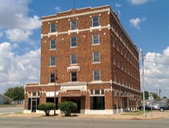 | Hotel Franklin | building | 2007 | 07000520 |
| Jay Buckle Springs | site | 2008 | 08000150 | |
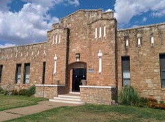 | Mangum Armory | building | 1994 | 94000278 |
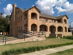 | Mangum Community Building | building | 1995 | 95000236 |
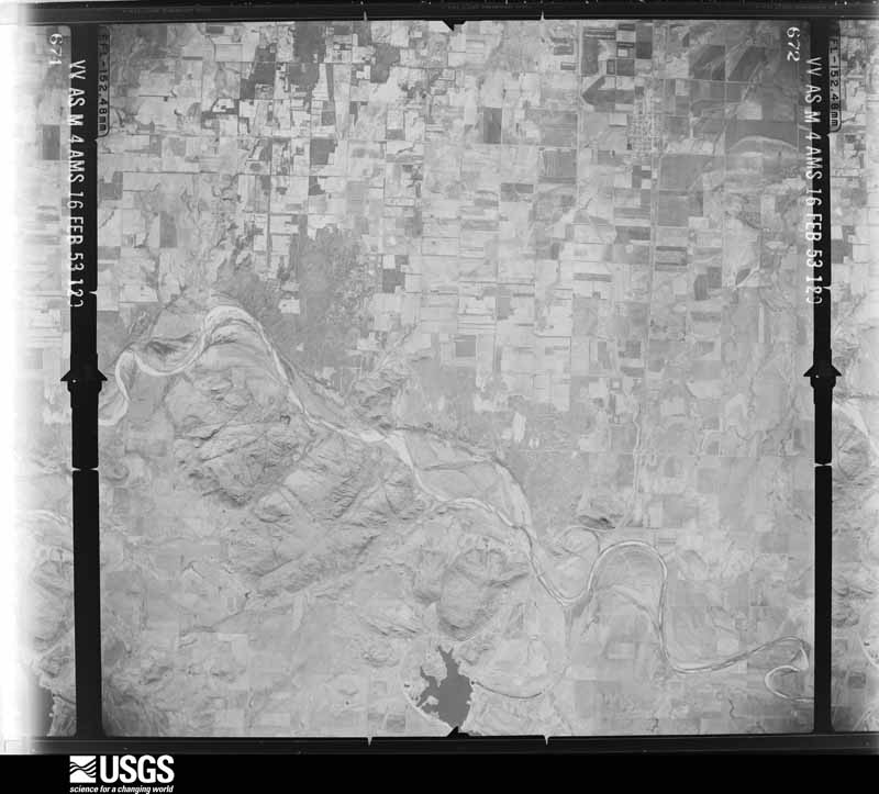
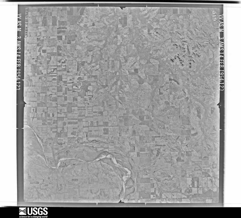
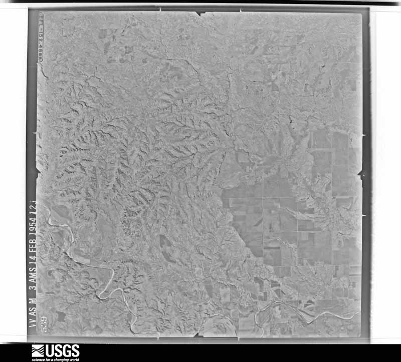
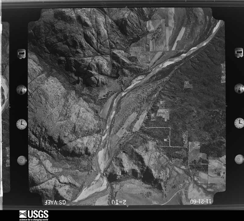
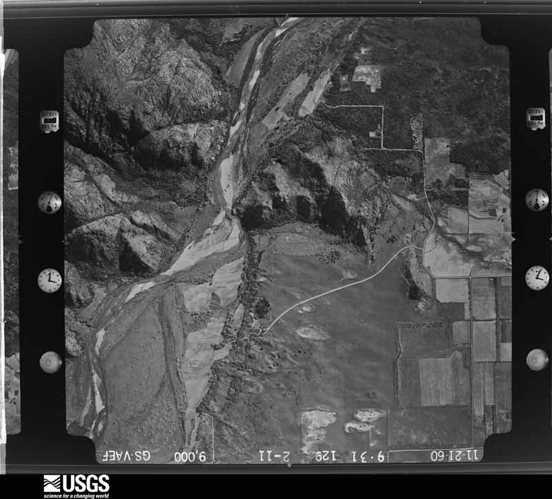
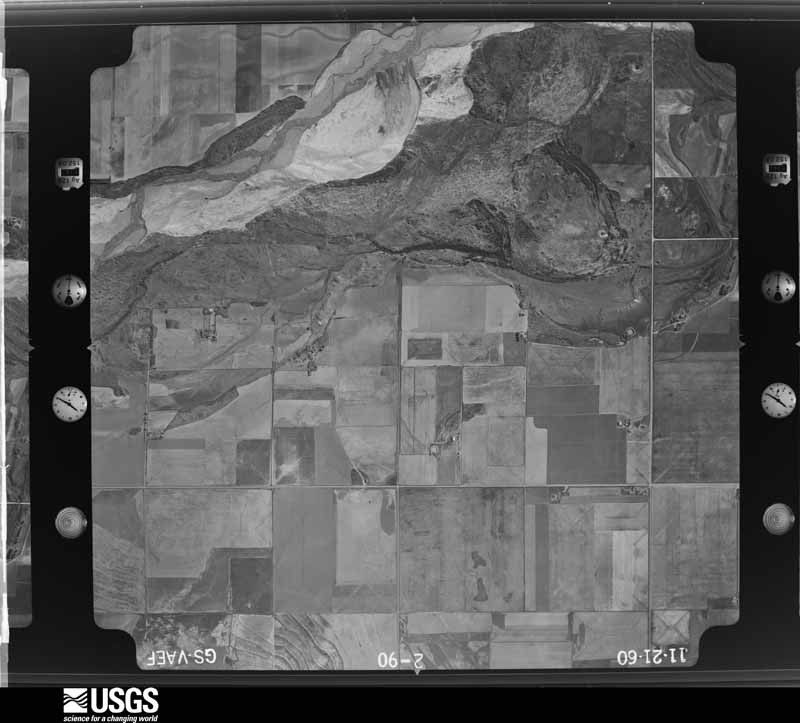
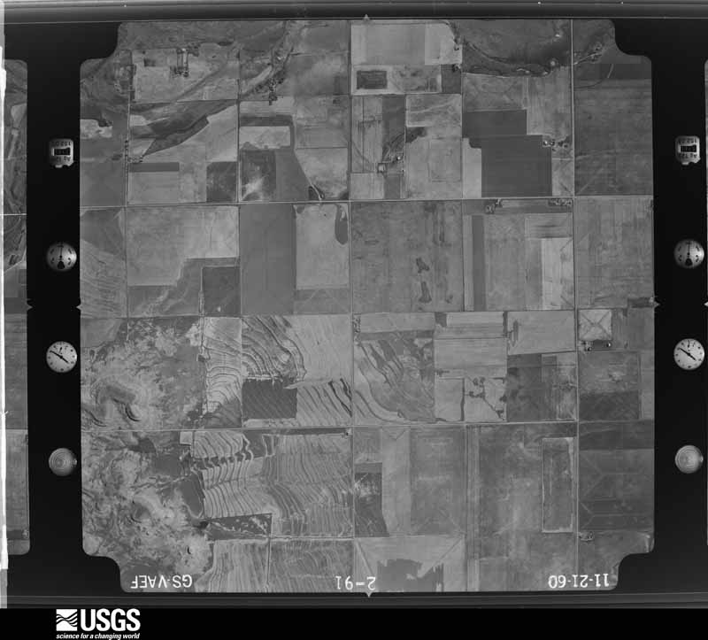
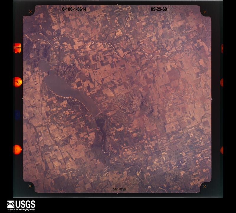
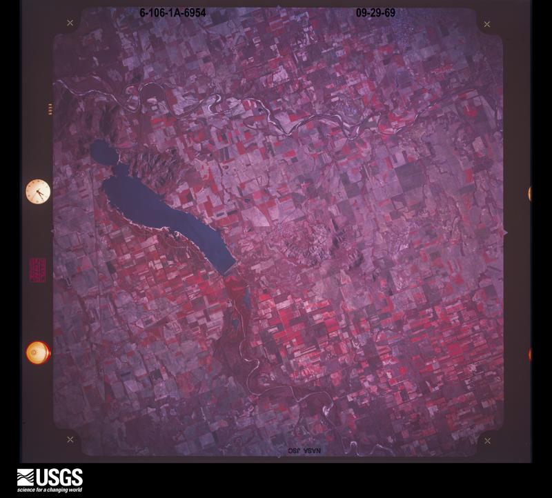
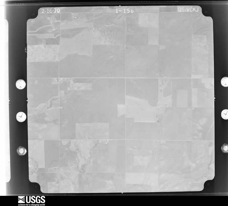
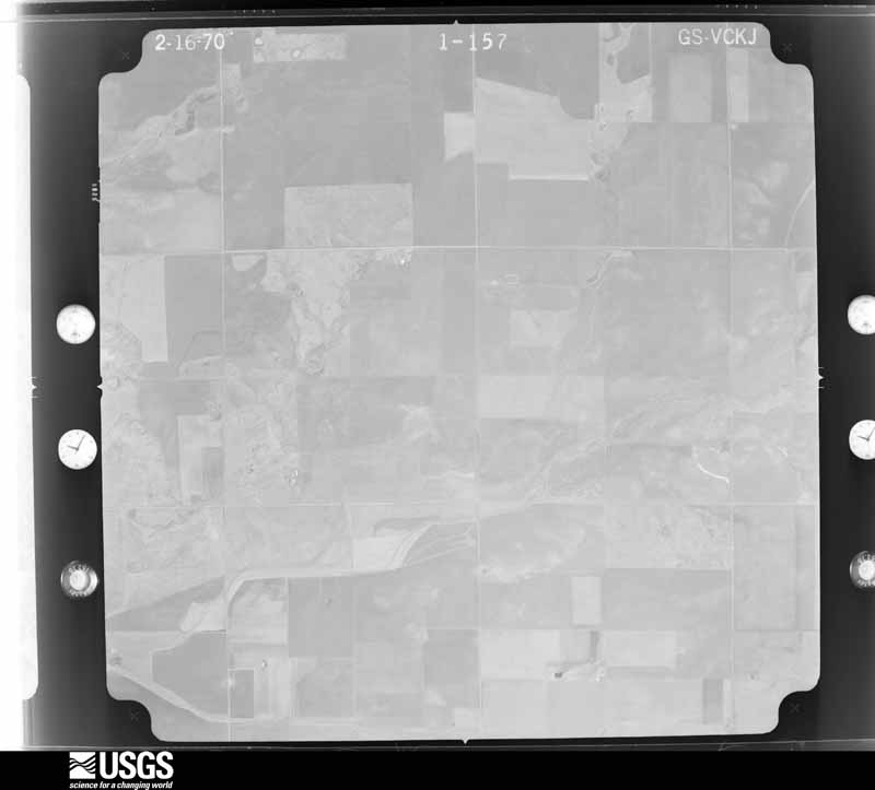
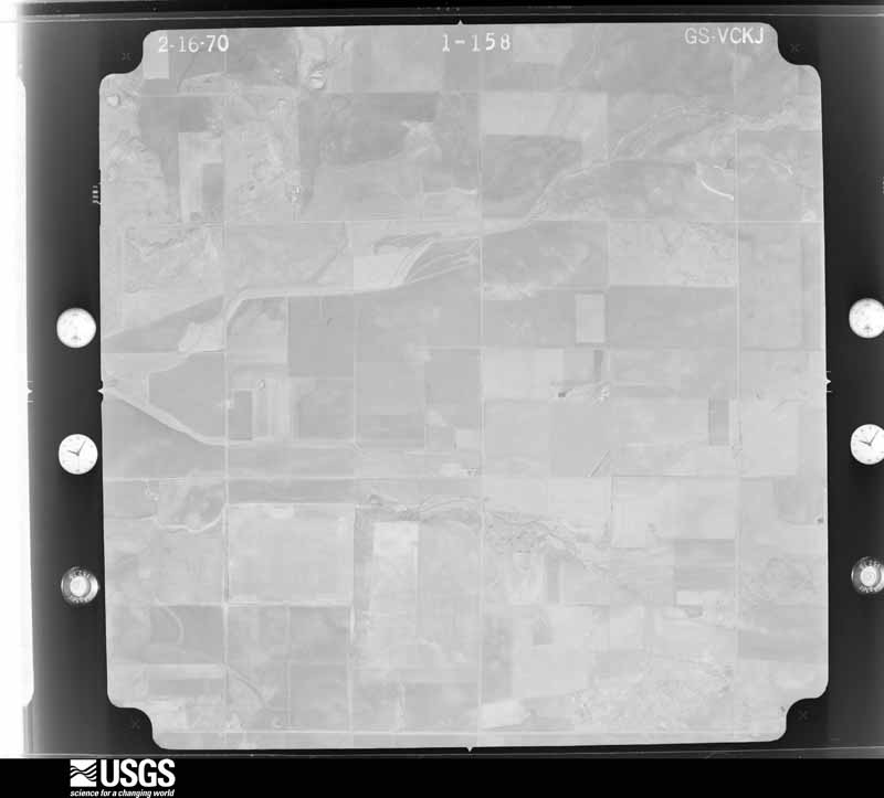
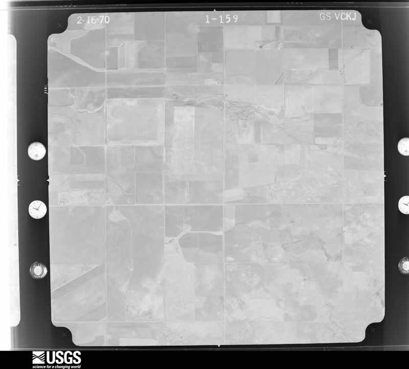
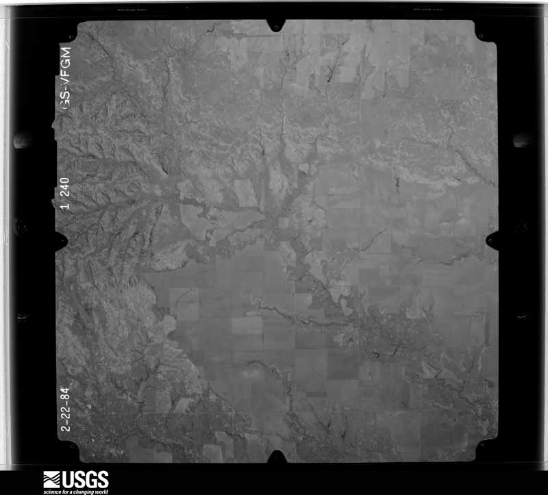
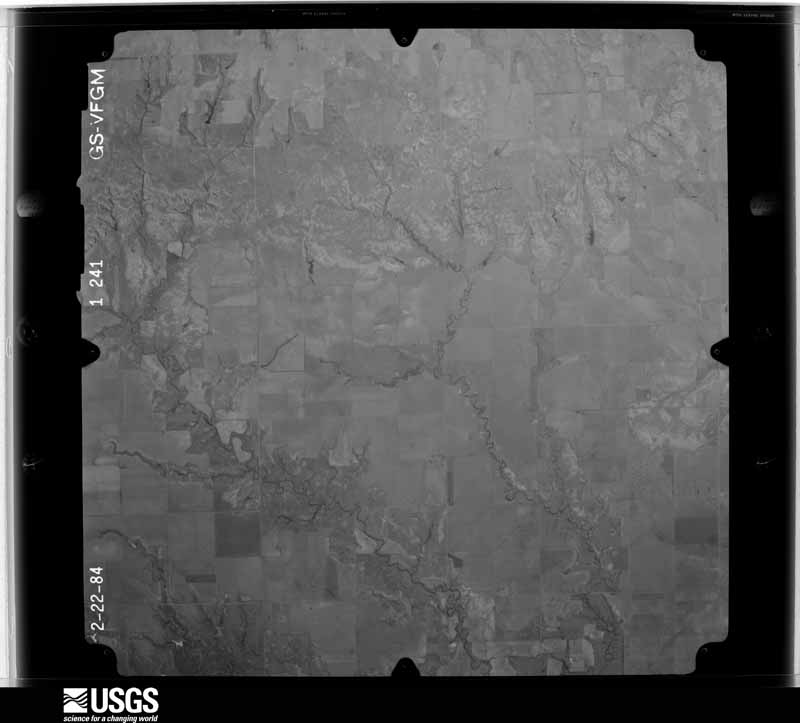
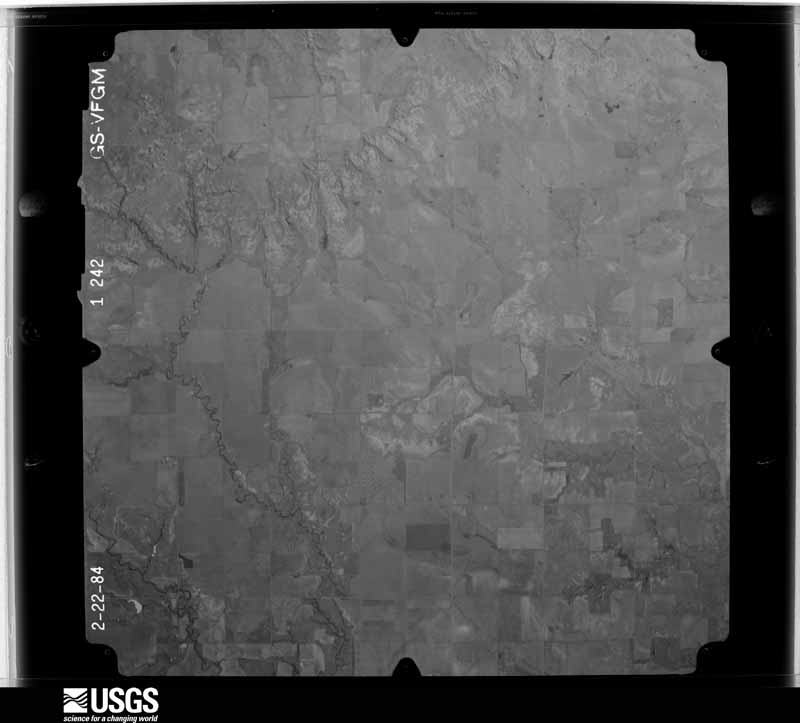
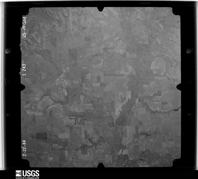
Flown by the U.S. Geological Survey between 1937 and 1989, the Aerial Photo Single Frames collection is the definitive mid-century view of the land: fields, roads and rivers as the camera saw them. The Survey holds 745 frames inside the rectangle that bounds this county; the 30 frames below were taken over the county itself, chosen across the decades of flights (at most four a year from that rectangle), so one flight cannot crowd out the rest. The full set is free to browse and download at EarthExplorer under the dataset Aerial Photo Single Frames.
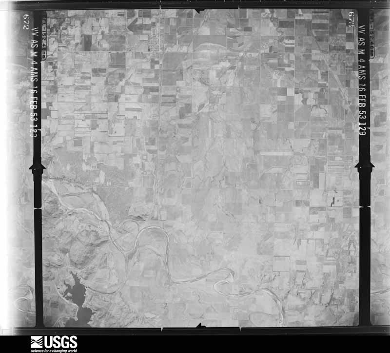
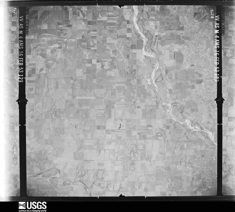
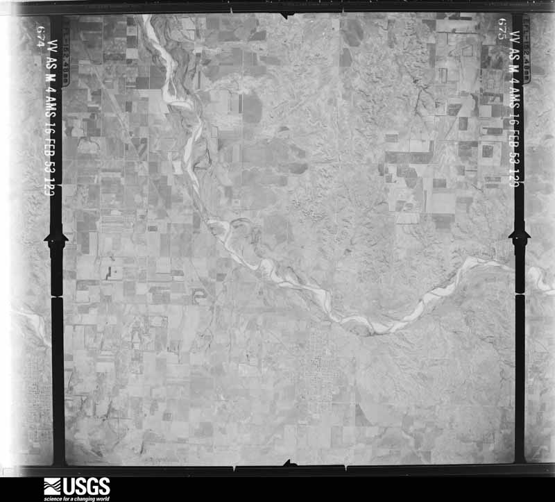
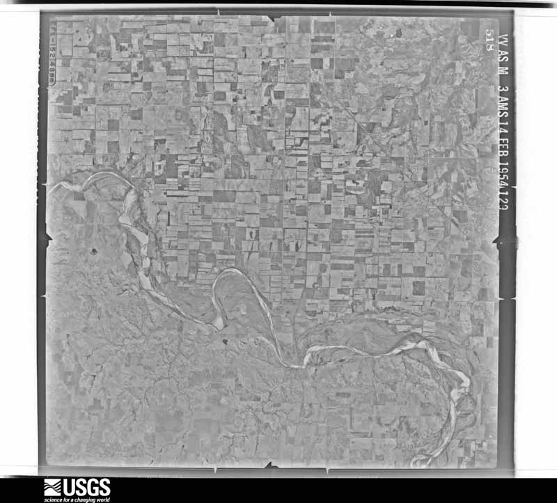





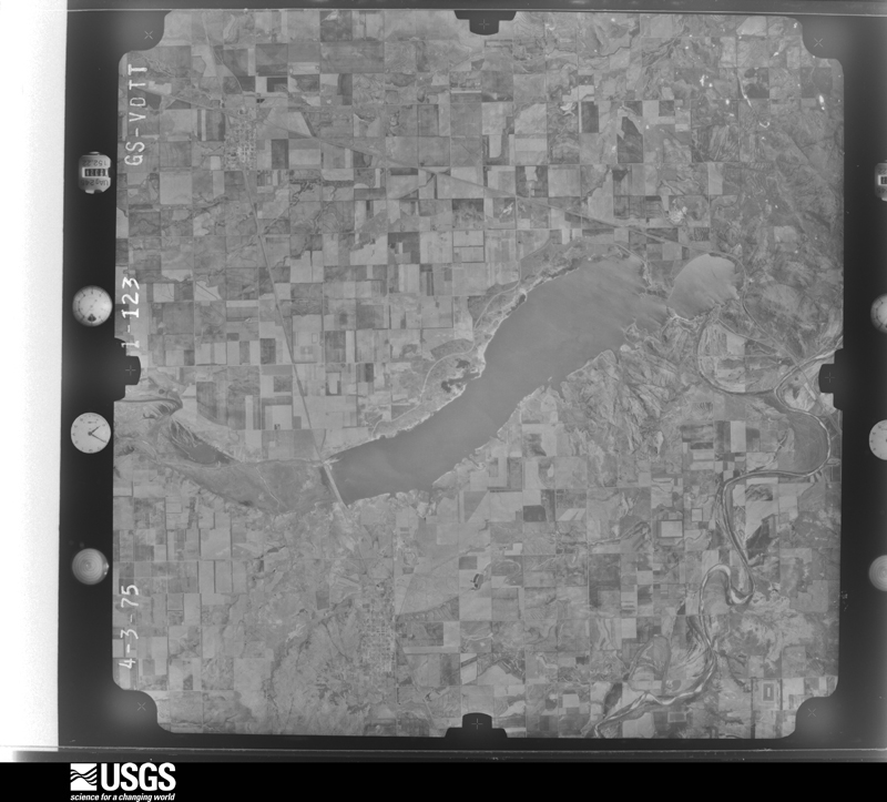
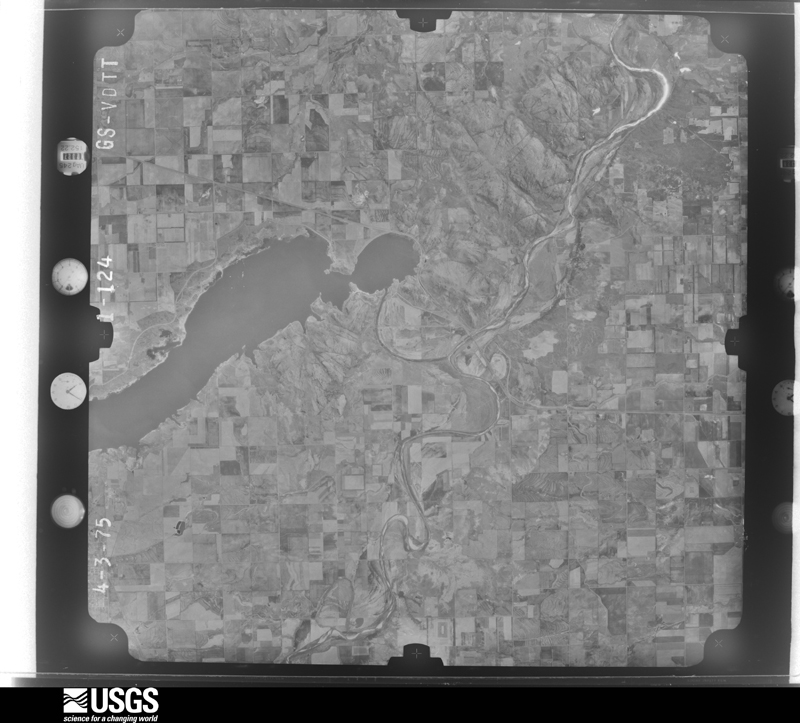
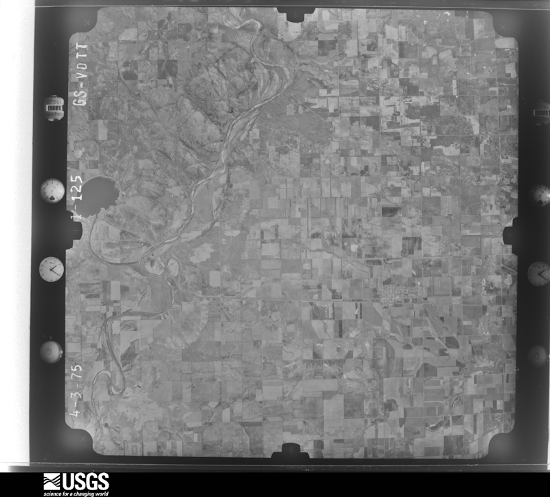
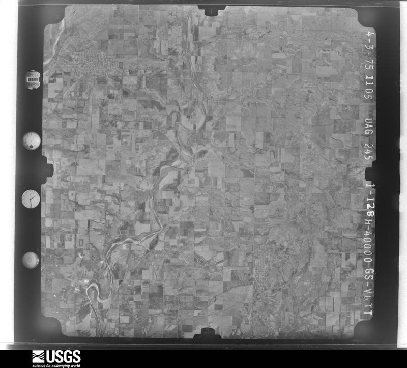
The thermometers that kept this county's weather, and the gages that measured the flow of its streams, as the federal records hold them. The extremes below are measured values from those records, not estimates.
Who lived here in 1950, one enumeration district at a time, as the Census Bureau described each district. Each row opens its official National Archives result, with Population Schedules and ED Maps available there.
Every wildfire the federal occurrence database records inside this county: 2 of them, burning about 3,246 acres. 1 started naturally and none was recorded as arson. Each settlement page carries the fires within five miles of it.
| Reported cause | Fires |
|---|---|
| Equipment and vehicle use | 1 |
| Natural | 1 |
The five largest, by the area the report gives. None of them was recorded as arson.
| Date | Cause | Size | Reported by | Name on the report |
|---|---|---|---|---|
| 10 June 2020 | Equipment and vehicle use | 2,496 acres | Oklahoma Division of Forestry | WARREN FIRE |
| 17 July 2001 | Natural | 750 acres | Oklahoma Division of Forestry | QUARTZ MTN |
Every settlement page carries the fires within five miles of it - see the settlement index below.
The NOAA Storm Events Database holds 539 reports for this county, causing no deaths, 1 injury and about $3,644,400 in recorded property damage. Each settlement page carries the reports that name it.
| Kind of event | Reports |
|---|---|
| Hail | 331 |
| Thunderstorm Wind | 142 |
| Tornado | 46 |
| Flash Flood | 13 |
| Lightning | 2 |
| Dust Devil | 1 |
| Funnel Cloud | 1 |
| Wildfire | 1 |
| Heavy Rain | 1 |
| Flood | 1 |
The most serious of them, by death, then injury, then recorded damage. The accounts are quoted exactly as the forecast office filed them.
| When | Event | Place named | Harm | What the report says |
|---|---|---|---|---|
| June 1964 | Tornado (F2) | not stated | 1 hurt, $30 | no account filed |
| May 1995 | Thunderstorm Wind | Willow | $500,000 | no account filed |
| August 1994 | Thunderstorm Wind | Mangum | $500,000 | no account filed |
| August 1994 | Thunderstorm Wind | Brinkman | $500,000 | no account filed |
| May 2019 | Tornado (EF2) | Reed | $300,000 | A highly visible tornado developed about 8 miles southwest of Mangum, then moved northeast through the northwestern and northern portions of Mangum before dissipating about 3.5 miles north of Mangum just east of Oklahoma Highway 34. The beginning of the tornado path was in rural areas and the valley and terrain around the Salt Fork of the Red River and damage was mainly to trees. However as the tornado moved through the northwest side of Mangum and adjacent areas, many outbuildings were destroyed and at least one home just northwest of town had much of it's roof removed. The maximum damage in and near Mangum was consistent with an EF2 rating, although many indications (including research radar data from the Center for Severe Weather Research) indicate that the tornado was likely stronger in the rural areas southwest of Mangum. |
| March 1986 | Tornado (F1) | not stated | $250,000 | no account filed |
| May 1965 | Tornado (F2) | not stated | $250,000 | no account filed |
| April 2025 | Hail | Mangum | $150,000 | Numerous social media and broadcast media images of at least 3-inch diameter hail in Mangum. Widespread damage to buildings and cars was reported. Event time is estimated from radar observations and nearby reports. |
| August 1996 | Thunderstorm Wind | Granite | $150,000 | no account filed |
| August 1997 | Lightning | Mangum | $100,000 | Lightning struck and set fire to a house, destroying the home and its contents. |
| October 2018 | Flash Flood | Mangum | $75,000 | Flood waters have resulted in closure of several streets and flooding into homes. |
| February 2023 | Tornado (EF1) | Reed | $50,000 | Greer County Emergency Management reported damage associated with a tornado that moved from north-northeast of Reed to just southeast of Brinkman. Power poles, trees and at least two barns were damaged by this tornado. |
| April 1999 | Tornado (F1) | Willow | $50,000 | no account filed |
| June 1996 | Thunderstorm Wind | Granite | $50,000 | no account filed |
| June 1996 | Thunderstorm Wind | Mangum | $50,000 | no account filed |
| August 1994 | Thunderstorm Wind | Mangum | $50,000 | no account filed |
| April 1994 | Thunderstorm Wind | Granite | $50,000 | no account filed |
| April 1994 | Thunderstorm Wind | Willow | $50,000 | no account filed |
| December 1993 | Thunderstorm Wind | Granite | $50,000 | no account filed |
| June 2003 | Lightning | Granite | $40,000 | Lightning caused a house fire. |
| April 1999 | Tornado (F1) | Bloomington | $40,000 | no account filed |
| May 2018 | Thunderstorm Wind | Granite | $30,000 | Multiple barns and portable buildings were damaged. Also, shingle damage to homes. |
| April 2006 | Hail | Reed | $30,000 | Large hail combined with gusty winds caused significant hail damage in the Jaybuckle area, 4 miles north of Reed. The home had several broken windows and damaged shutters. The house also sustained significant hail damage to the roof. |
| September 2002 | Thunderstorm Wind | Mangum | $30,000 | A roof of a restaurant was damaged. Trees were downed. Windows were broken, and carports were blown off of two homes. |
| July 2024 | Thunderstorm Wind | Granite | $25,000 | Numerous power poles blown down along Oklahoma Highway 9. Location is approximate. Time is radar estimated. |
| August 2004 | Thunderstorm Wind | Mangum | $25,000 | Winds destroyed a trailer on the southwest side of town. |
| March 2000 | Thunderstorm Wind | Mangum | $25,000 | Four barns and a trailer were blown over. |
| March 1973 | Tornado (F2) | not stated | $25,000 | no account filed |
| April 1965 | Tornado (F2) | not stated | $25,000 | no account filed |
| March 2021 | Tornado (EF1) | Reed | $15,000 | A tornado developed near the community of Russell, and moved north-northeast. A shed was destroyed, two tractors damaged and the porch of a house was damaged at one farm, and two sheds were destroyed at another farm. Some of the debris was scattered for 1.5 miles. |
| March 2000 | Thunderstorm Wind | Granite | $15,000 | A pickup truck was blown over. |
| August 2003 | Thunderstorm Wind | Mangum | $12,000 | Large tree limbs were downed. Large portions of two fences were also downed. One home received extensive shingle damage to its roof. A steel flag pole was also snapped. The wind damage began in northern parts of town and continued south. |
| May 2019 | Flash Flood | Willow | $10,000 | School bus washed off roadway. Driver and two children were rescued. |
| April 2003 | Thunderstorm Wind | Lake Creek | $10,000 | Three barns sustained damage. One barn received significant damage while two power poles, a shed, and a large tree were also damaged. |
| July 2003 | Thunderstorm Wind | Mangum | $10,000 | Several tree limbs and power poles were downed across the town. Sheet metal was also peeled from several carports. |
| June 2006 | Thunderstorm Wind | Mangum | $7,500 | A patio cover was blown apart. Several small trees were also downed. |
| November 2024 | Tornado (EF0) | Hester | $5,000 | This tornado developed southwest of Mangum and moved north. A trailer was overturned east of Mangum and tree limb damage was also observed. |
| October 2023 | Thunderstorm Wind | Brinkman | $5,000 | Social media image showing multiple power poles snapped along U.S. Highway 283. Time is radar estimated. |
| July 2009 | Thunderstorm Wind | Granite | $5,000 | Several tree limbs were downed, which caused sporadic power outages. Monetary damages were estimated. |
| July 2005 | Thunderstorm Wind | Granite | $5,000 | A portion of the roof of the Granite City Hall was peeled off. |
| July 2001 | Thunderstorm Wind | Mangum | $5,000 | A large metal barn was destroyed. |
| July 1994 | Thunderstorm Wind | Granite | $5,000 | Thunderstorms in western Oklahoma during the afternoon and evening hours on the 30th produced hail up to quarter-size and damaging winds. Thunderstorm winds broke off 3-inch diameter tree limbs 8.5 miles north-northwest of Indiahoma, blew out windows, ripped shingles from a roof, overturned a stock trailer, and blew down trees 1.5 miles southwest of Granite. |
| May 1999 | Tornado (F1) | Hester | $5,000 | no account filed |
| May 1995 | Hail | not stated | $5,000 | no account filed |
| July 1994 | Thunderstorm Wind | Granite | $5,000 | no account filed |
| June 1994 | Thunderstorm Wind | Mangum | $5,000 | no account filed |
| April 1999 | Dust Devil | Hester | $4,000 | Several people watched a dust devil destroy a tent and cause significant damage to a barn roof. |
| May 2018 | Thunderstorm Wind | Retrop | $3,000 | Reports of downed power poles and trees. Time estimated by radar. |
| June 2007 | Thunderstorm Wind | Willow | $3,000 | Multiple tree limbs were downed due to the high winds. Monetary damages were estimated. |
| May 1999 | Thunderstorm Wind | Mangum | $3,000 | no account filed |
| July 2003 | Hail | Mangum | $2,500 | Hail damaged a screen door and broke windows in a few businesses. |
| May 1998 | Thunderstorm Wind | Willow | $2,500 | no account filed |
| May 1983 | Tornado (F2) | not stated | $2,500 | no account filed |
| April 1957 | Tornado (F2) | not stated | $2,500 | no account filed |
| June 1955 | Tornado (F0) | not stated | $2,500 | no account filed |
| April 1954 | Tornado (F0) | not stated | $2,500 | no account filed |
| May 1954 | Tornado (F1) | not stated | $2,500 | no account filed |
| May 1953 | Tornado (F1) | not stated | $2,500 | no account filed |
| May 1953 | Tornado (F1) | not stated | $2,500 | no account filed |
| May 2006 | Thunderstorm Wind | Granite | $2,000 | Fifteen to twenty power poles along Highway 9 were snapped. |
The Survey's mineral resources record lists 30 workings inside this county. 10 still produce and 20 are closed or unrecorded. Each settlement page carries the workings within five miles of it.
| Commodity | Workings |
|---|---|
| Sand and Gravel, Construction | 12 |
| Granite | 10 |
| Copper | 6 |
| Clay | 2 |
| Zinc, Vanadium, Uranium, Nickel, Cobalt, Silver, Lead | 1 |
The least common of them first, because a county's hundredth gravel pit says nothing its first ten did not.
| Where | Site | Commodity | Status | Recorded |
|---|---|---|---|---|
| Mangum Copper Prospects | Copper, Zinc, Vanadium, Uranium, Nickel, Cobalt, Silver, Lead | Past Producer | 1965 | |
| Mangum Mine and Mill (unverified) | Clay | Producer | ||
| Unknown Clay Pits | Clay | Past Producer | ||
| Fowler Ranch | Copper | Occurrence | 1970 | |
| Jester West-1 | Copper | Occurrence | 1953 | |
| Reed Ranch-1 | Copper | Occurrence | 1970 | |
| Reed Ranch-2 | Copper | Occurrence | 1970 | |
| Scott Ranch-1 | Copper | Occurrence | Stratabound | |
| Chapel Rose Quarry No 2 | Granite | Producer | ||
| Okla State Reformatory Granite Quar | Granite | Producer | ||
| Regal Red | Granite | Producer | ||
| Unknown Granite Quarry | Granite | Past Producer | ||
| Unknown Granite Quarry | Granite | Past Producer | ||
| Unknown Granite Quarry | Granite | Past Producer | ||
| Unknown Granite Quarry | Granite | Producer | ||
| Unknown Granite Quarry | Granite | Past Producer | ||
| Unknown Granite Quarry | Granite | Past Producer | ||
| Willis-Pellow Granite Co Quarry | Granite | Producer | ||
| Coffman Pit | Sand and Gravel, Construction | Past Producer | ||
| Granite Pit | Sand and Gravel, Construction | Producer | ||
| Granite Pit | Sand and Gravel, Construction | Producer | ||
| Unknown Gravel Pit | Sand and Gravel, Construction | Past Producer | ||
| Unknown Gravel Pit | Sand and Gravel, Construction | Past Producer | ||
| Unknown Gravel Pit | Sand and Gravel, Construction | Past Producer | ||
| Unknown Gravel Pit | Sand and Gravel, Construction | Past Producer | ||
| Unknown Gravel Pit | Sand and Gravel, Construction | Past Producer | ||
| Unknown Gravel Pit | Sand and Gravel, Construction | Producer | ||
| Unknown Gravel Pit | Sand and Gravel, Construction | Producer | ||
| Unknown Gravel Pit | Sand and Gravel, Construction | Past Producer | ||
| Unknown Gravel Pits | Sand and Gravel, Construction | Past Producer |
Named settlements recorded in the Geographic Names Information System, each with the topographic sheets covering it. Villages, hamlets and abandoned places alike. Each is shown with the nearest named watercourse or landform and the survey quadrangle it falls on. The 2 places that were also surveyed for fire insurance come first, with the number of atlases and photographs held for them.
8 topographic sheets and 7 fire insurance atlases, 1902 to 1941
8 topographic sheets and 3 fire insurance atlases, 1910 to 1932