 Block
From the record
13 National Register listings published here.
Sources: the National Register database, National Park Service
14 topographic sheets and 2 fire insurance atlases across 1 place.
13 National Register listings published here.
Sources: the National Register database, National Park Service
Every property in this county listed on the National Register of Historic Places, with the year it was listed and the federal nomination document.
| Photograph | Property | Type | Listed | Reference |
|---|---|---|---|---|
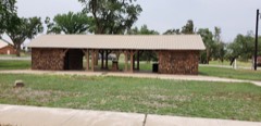 | Buffalo City Park Pavilion | structure | 1988 | 88001367 |
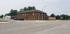 | Clover Hotel | building | 1984 | 84003034 |
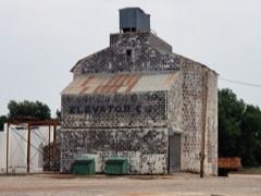 | Farmers' Co-op Elevator | structure | 1983 | 83004176 |
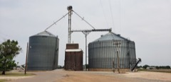 | Feuquay Elevator | structure | 1983 | 83004177 |
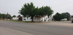 | Fox Hotel | building | 1978 | 78002236 |
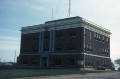 | Harper County Courthouse | building | 1984 | 84003041 |
| I.O.O.F. Building of Buffalo | building | 1983 | 83002087 | |
| Laverne's North Main Street District | district | 1984 | 84003044 | |
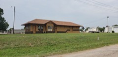 | M.K. and T. Depot in Laverne | building | 1984 | 84003046 |
| Monhollow Artificial Stone House | building | 1983 | 83002088 | |
| Old Settler's Irrigation Ditch | site | 1983 | 83002070 | |
| Page Soddy | building | 1983 | 83002089 | |
| Sharp Lumberyard | building | 1984 | 84003048 |
Drawn when these were printed as single large sheets: the town seen from the air, and the county divided into its farms with every owner named. Each opens the original at the Library of Congress.
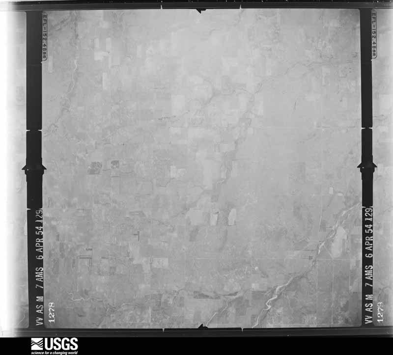
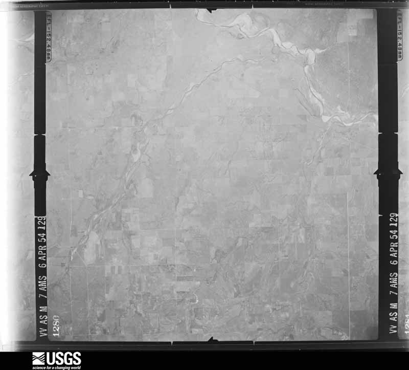
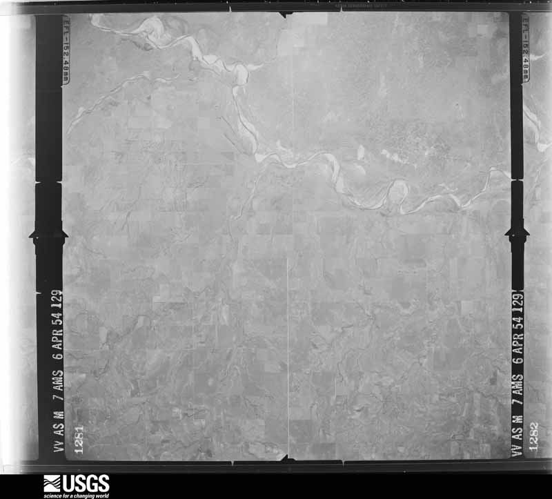
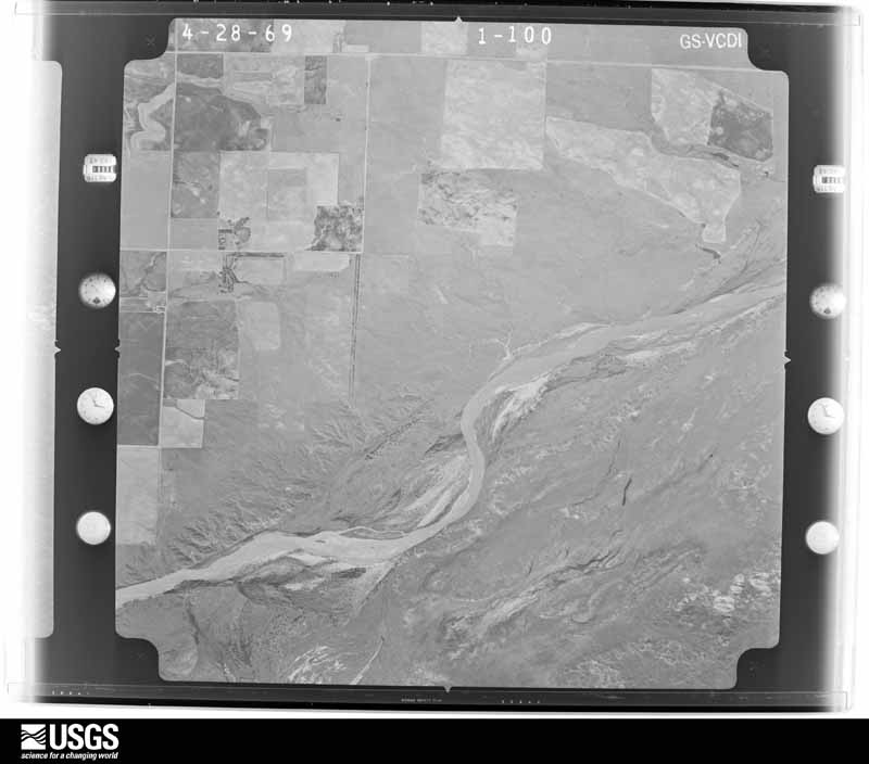
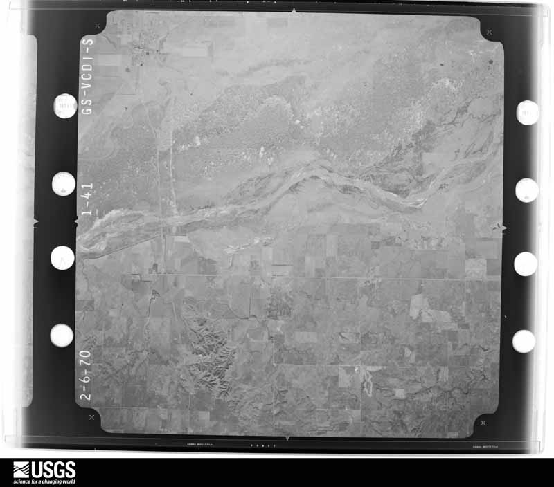
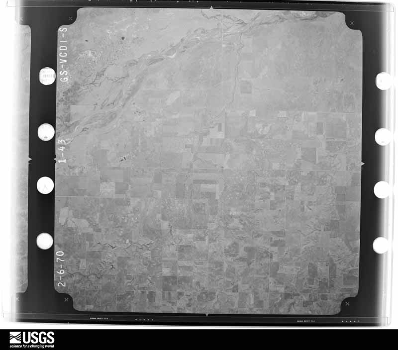
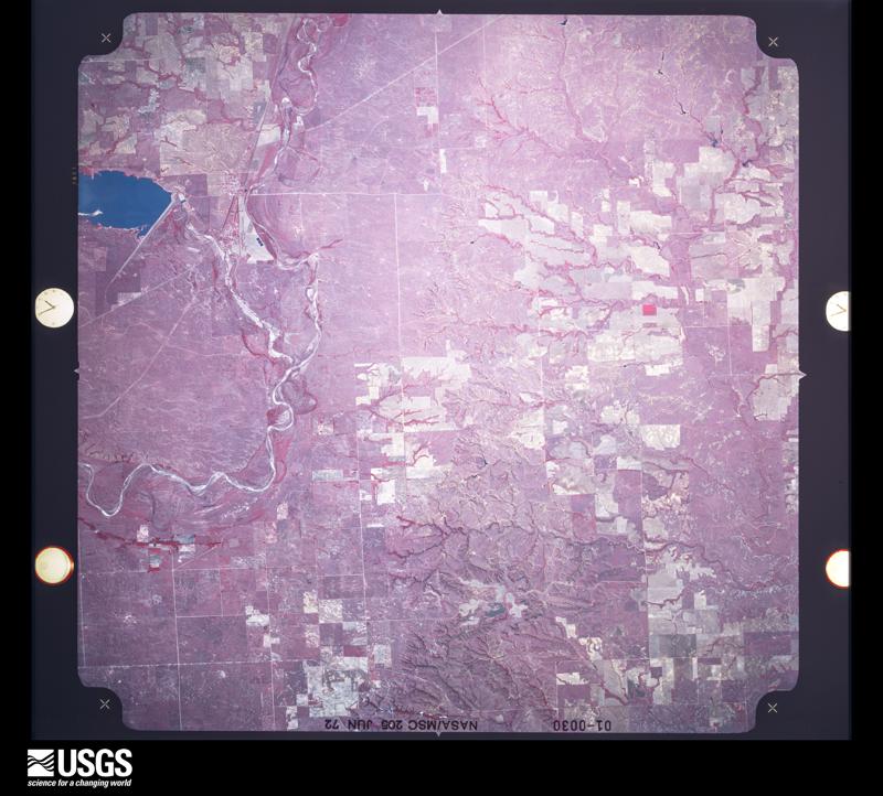
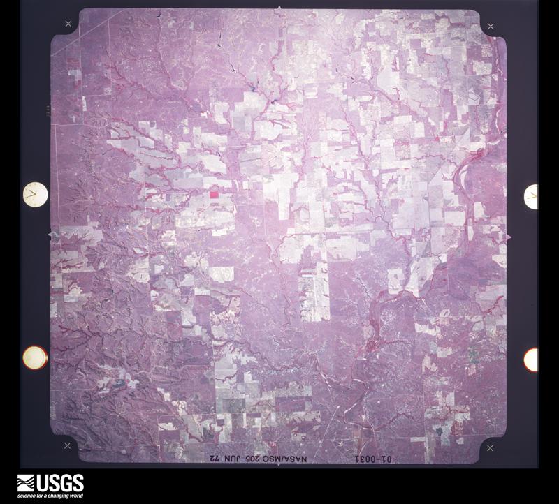
Flown by the U.S. Geological Survey between 1937 and 1989, the Aerial Photo Single Frames collection is the definitive mid-century view of the land: fields, roads and rivers as the camera saw them. The Survey holds 781 frames inside the rectangle that bounds this county; the 21 frames below were taken over the county itself, chosen across the decades of flights (at most four a year from that rectangle), so one flight cannot crowd out the rest. The full set is free to browse and download at EarthExplorer under the dataset Aerial Photo Single Frames.


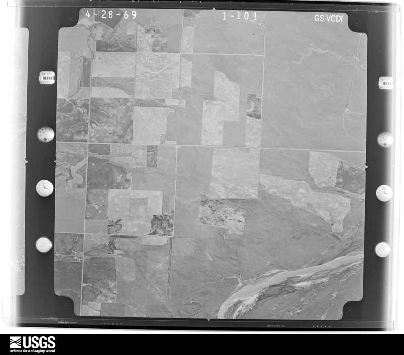
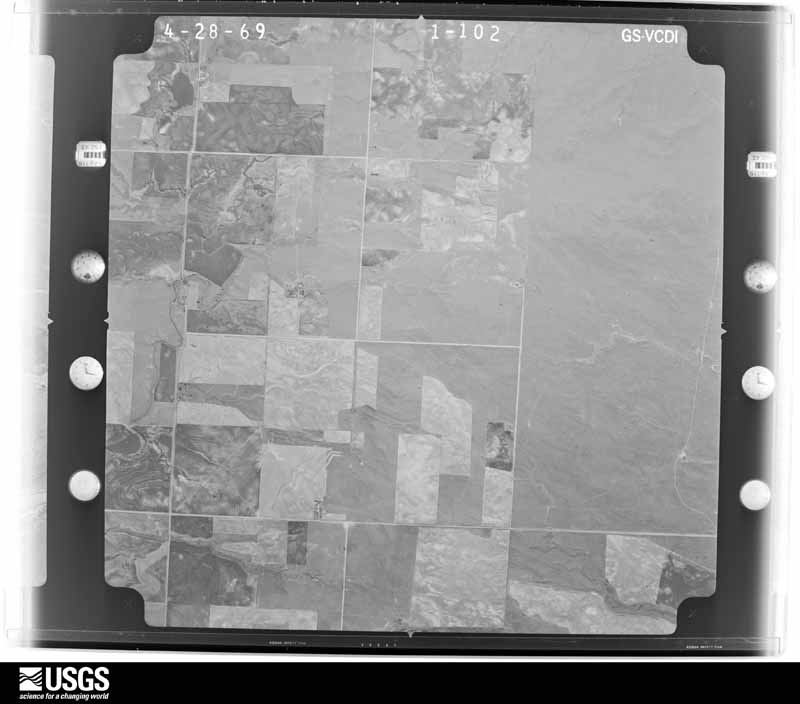
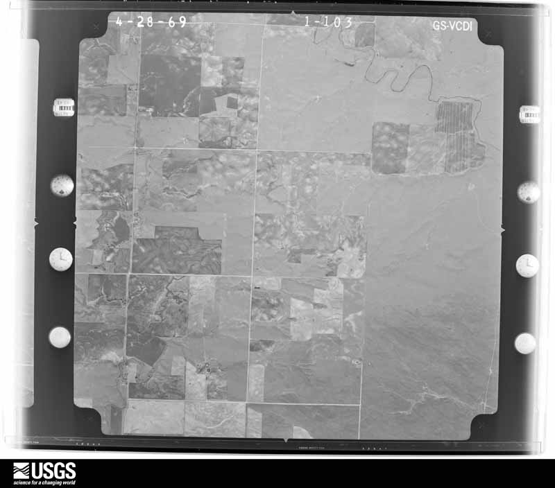
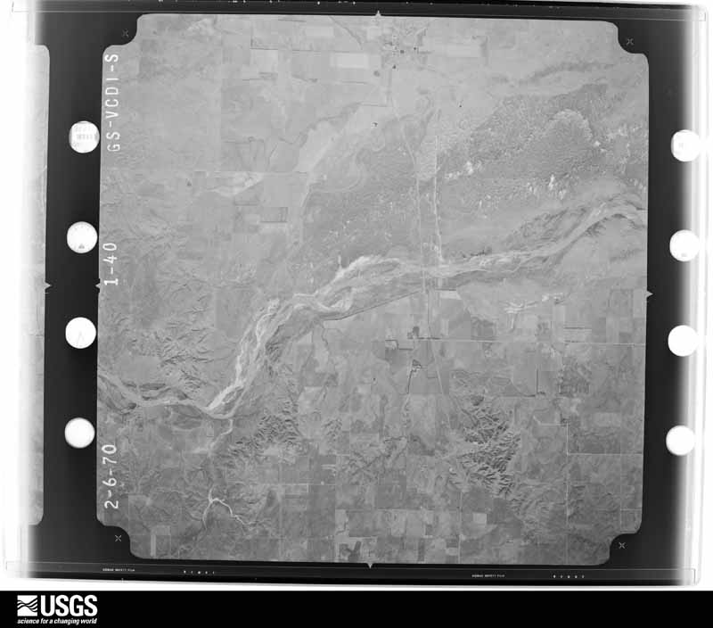

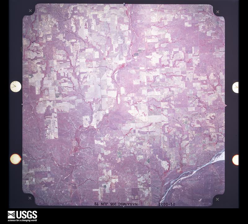

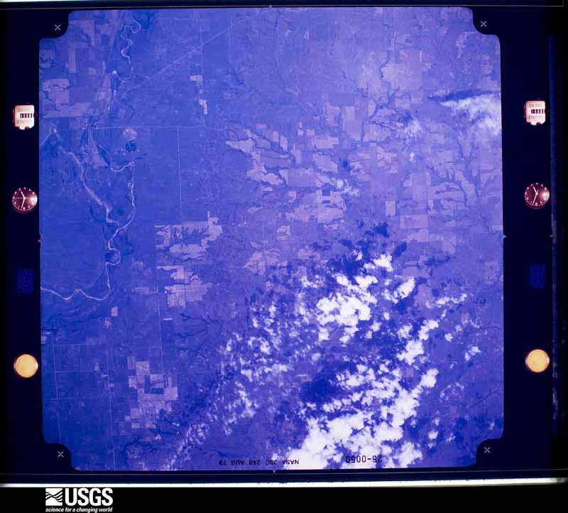

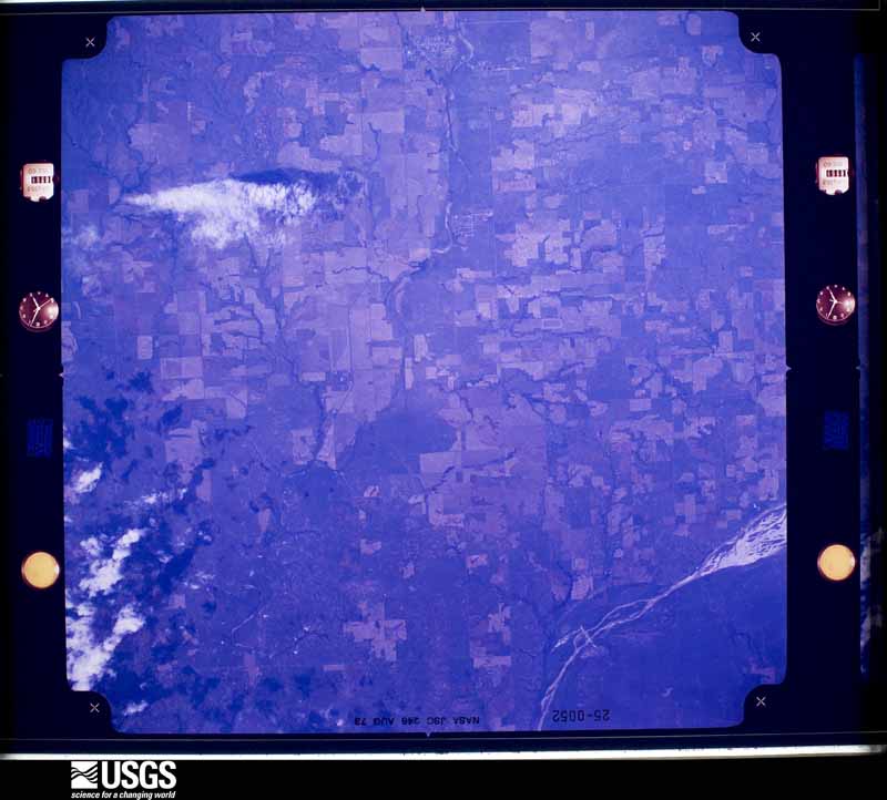
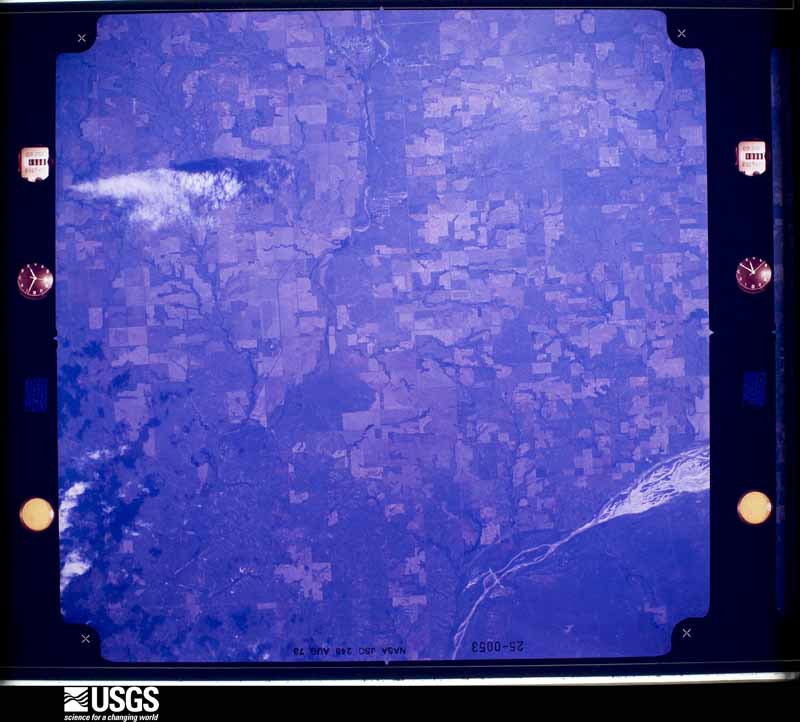
The thermometers that kept this county's weather, and the gages that measured the flow of its streams, as the federal records hold them. The extremes below are measured values from those records, not estimates.
Who lived here in 1950, one enumeration district at a time, as the Census Bureau described each district. Each row opens its official National Archives result, with Population Schedules and ED Maps available there.
Every wildfire the federal occurrence database records inside this county: 6 of them, burning about 139,403 acres. None started naturally and none was recorded as arson. Each settlement page carries the fires within five miles of it.
| Reported cause | Fires |
|---|---|
| Missing data/not specified/undetermined | 6 |
The five largest, by the area the report gives. None of them was recorded as arson.
| Date | Cause | Size | Reported by | Name on the report |
|---|---|---|---|---|
| 7 March 2017 | Missing data/not specified/undetermined | 69,396 acres | Oklahoma Division of Forestry | OKS - 283 |
| 7 March 2017 | Missing data/not specified/undetermined | 44,234 acres | Oklahoma Division of Forestry | OKS - SELMAN |
| 18 February 2016 | Missing data/not specified/undetermined | 18,000 acres | Oklahoma Division of Forestry | BUFFALO |
| 18 November 2016 | Missing data/not specified/undetermined | 3,213 acres | Oklahoma Division of Forestry | ROSSTON |
| 9 March 2009 | Missing data/not specified/undetermined | 2,950 acres | Oklahoma Division of Forestry | LOG CABIN |
| 30 March 2015 | Missing data/not specified/undetermined | 1,610 acres | Oklahoma Division of Forestry | EASTERWOOD RANCH |
Every settlement page carries the fires within five miles of it - see the settlement index below.
The NOAA Storm Events Database holds 611 reports for this county, causing no deaths, 8 injuries and about $1,572,310 in recorded property damage. Each settlement page carries the reports that name it.
| Kind of event | Reports |
|---|---|
| Hail | 363 |
| Thunderstorm Wind | 205 |
| Tornado | 32 |
| Flash Flood | 4 |
| Lightning | 3 |
| Funnel Cloud | 2 |
| Heavy Rain | 1 |
| Flood | 1 |
The most serious of them, by death, then injury, then recorded damage. The accounts are quoted exactly as the forecast office filed them.
| When | Event | Place named | Harm | What the report says |
|---|---|---|---|---|
| May 1991 | Tornado (F3) | not stated | 3 hurt, $250,000 | no account filed |
| April 1960 | Tornado (F2) | not stated | 3 hurt, $25,000 | no account filed |
| June 1995 | Tornado (F1) | Selman | 1 hurt, $500,000 | no account filed |
| June 1995 | Thunderstorm Wind | Buffalo | 1 hurt | no account filed |
| June 2023 | Thunderstorm Wind | Laverne | $250,000 | As a tornado was dissipating north of Laverne, damaging winds from this supercell produced widespread roof, tree and power line damage in Laverne. A number of homes and buildings throughout town suffered roof damage, and multiple power poles were downed in Laverne as well as to the east along State Highway 149. |
| May 2012 | Thunderstorm Wind | Buffalo | $50,000 | Several power poles blown down. Damages are estimated. |
| August 2006 | Thunderstorm Wind | Buffalo | $50,000 | A travel-trailer was destroyed. Several trees were downed. Several outbuildings were also damaged. |
| April 1993 | Thunderstorm Wind | May | $50,000 | no account filed |
| June 2023 | Tornado (EF1) | Rosston | $40,000 | This tornado moved into Harper County from Beaver County OK (see report from the Oklahoma panhandle from NWS Amarillo). At the Beaver County-Harper County line, the tornado caused roof damage to a home as well as tree damage. It continued to damage trees and power poles as the tornado moved to just northeast of Laverne. A barn was damaged along US-283 just north of Laverne before the tornado dissipated. In addition to the tornado, a large area of wind damage was observed south of the tornado creating areas of wind damage in the town of Laverne. |
| June 2002 | Thunderstorm Wind | Laverne | $30,000 | Seven power poles were snapped in half. A mobile home was overturned, and a large barn was destroyed. |
| May 2001 | Thunderstorm Wind | May | $27,000 | A tractor-trailer was overturned, and power poles were snapped. |
| June 1971 | Tornado (F1) | not stated | $25,000 | no account filed |
| September 1970 | Tornado (F2) | not stated | $25,000 | no account filed |
| June 1962 | Tornado (F1) | not stated | $25,000 | no account filed |
| May 2019 | Tornado (EF1) | Selman | $20,000 | An Oklahoma City television storm chaser observed a tornado from 10:42 to 10:47 pm CDT in far northeastern Harper County. An outbuilding was destroyed and numerous trees were downed on a ranch. The tornado dissipated before reaching the state line. |
| May 2019 | Tornado (EF2) | Laverne | $20,000 | This tornado developed in Lipscomb County Texas and moved through Beaver and Ellis Counties in Oklahoma before moving into southwestern Harper County. The tornado broke numerous power poles and damaged trees as it moved northeast, crossing US Highway 412/State Highway 3, and dissipated about one mile north of the highway to the southwest of Laverne. |
| October 2005 | Tornado (F1) | Selman | $20,000 | A large multiple-vortex tornado was photographed by a local resident. The tornado touched down 10 miles south-southeast of Selman in Harper county and moved east-northeast. The tornado eventually moved into Woodward county before lifting 20 miles north of Mooreland. A house on Highway 34 near EW24 Road sustained roof damage. A barn west of the residence was also damaged. |
| May 2001 | Thunderstorm Wind | Buffalo | $20,000 | Trees were uprooted. A small building and sheds were destroyed, and power lines were downed. |
| April 2004 | Lightning | Laverne | $15,000 | Lightning caused a tank battery to catch on fire. |
| April 2004 | Lightning | Laverne | $15,000 | A tank battery caught on fire due to a lightning strike. |
| May 2008 | Tornado (EF0) | Buffalo | $10,000 | This tornado produced some minor tree damage, shingle damage to a home and some tin scattered about. The tornado continued to move north-northeast and crossed the state line into Clark County Kansas. Monetary damages were estimated. |
| July 1996 | Thunderstorm Wind | Buffalo | $10,000 | no account filed |
| June 2006 | Thunderstorm Wind | Buffalo | $7,500 | High line power poles were downed. |
| May 2001 | Thunderstorm Wind | Selman | $7,000 | A carport was destroyed, and a storm door was blown off. |
| August 2024 | Thunderstorm Wind | Laverne | $5,000 | Powerlines blown down along U.S. Highway 270. Time is radar estimated. |
| June 2014 | Thunderstorm Wind | Buffalo | $5,000 | Several trees and power lines blown down. Time estimated from radar. |
| August 2009 | Thunderstorm Wind | Buffalo | $5,000 | Shingles were blown of the roof of the Coop observer's house. Monetary damages were estimated. |
| June 2008 | Thunderstorm Wind | Laverne | $5,000 | Tree limbs and power lines were blown down by the strong winds. Monetary damages were estimated. |
| June 2006 | Thunderstorm Wind | Buffalo | $5,000 | Tin was blown off several buildings. |
| August 2002 | Lightning | Laverne | $5,000 | Lightning struck a building and a storage tank. |
| February 2000 | Thunderstorm Wind | Buffalo | $5,000 | Straight-line winds blew over a large truck parked in the front yard of a house. |
| November 2015 | Tornado (EF2) | May | $4,000 | This tornado moved from Ellis County into Harper County to the west of Fort Supply. Four electrical transmission poles were broken as well as several trees 4 miles west of Fort Supply. Outbuildings were heavily damaged north of Fort Supply as the tornado continued northeast, and more power poles were broken east of Buffalo near the end of the tornado's path. |
| September 2021 | Thunderstorm Wind | Rosston | $3,000 | Back window blown out of a vehicle and multiple power lines downed. |
| August 2010 | Thunderstorm Wind | Buffalo | $3,000 | Power lines were downed near the intersection of Willard Road and Adobe Springs Road. The time was estimated based on radar. Monetary damages were estimated. |
| August 2010 | Thunderstorm Wind | Buffalo | $3,000 | A power pole and the associated power lines were downed on Highway 64. Monetary damages were estimated. |
| August 2002 | Thunderstorm Wind | Laverne | $3,000 | Power poles were downed. |
| May 2005 | Hail | Laverne | $2,500 | Several car windows were broken. |
| March 1987 | Tornado (F2) | not stated | $2,500 | no account filed |
| May 2016 | Thunderstorm Wind | May | $2,000 | Power lines were reported down. |
| June 2012 | Thunderstorm Wind | Buffalo | $2,000 | At least one power line was blown down. |
| September 2010 | Thunderstorm Wind | Selman | $2,000 | A power pole was snapped near County Road 198 and Highway 64. Monetary damages were estimated. |
| July 2002 | Thunderstorm Wind | Buffalo | $2,000 | Several power poles were downed. |
| July 2002 | Thunderstorm Wind | Buffalo | $2,000 | Several power poles were downed. |
| July 2002 | Thunderstorm Wind | Buffalo | $2,000 | Several power poles were downed. |
| February 2000 | Tornado (F0) | Laverne | $2,000 | This is a continuation of the Lipscomb/Ellis County tornado. |
| August 1997 | Thunderstorm Wind | May | $2,000 | A power tower and power lines were blown down. |
| October 2005 | Hail | Lovedale | $1,500 | Hail combined with strong winds broke the windows in a home. |
| June 2018 | Thunderstorm Wind | Rosston | $1,000 | Utility pole was downed on an angle. |
| June 2018 | Thunderstorm Wind | Rosston | $1,000 | Utility pole was snapped. |
| June 2010 | Thunderstorm Wind | Laverne | $1,000 | Several tree limbs were downed by the strong winds. Monetary damages were estimated. |
| July 2004 | Thunderstorm Wind | Buffalo | $1,000 | Numerous tree limbs, up to a foot and a half in diameter, were downed. |
| July 2005 | Thunderstorm Wind | Laverne | $500 | Tree limbs, two to three inches in diameter, were downed. |
| May 2003 | Thunderstorm Wind | Buffalo | $500 | A large cattle feeder was blown a quarter of a mile. |
| February 2000 | Thunderstorm Wind | Buffalo | $500 | Straight-line winds blew over a fence. |
| August 1997 | Thunderstorm Wind | Laverne | $500 | Power lines and tree limbs up to six inches in diameter were blown down. Part of a roof was blown off of a building. |
| April 1994 | Thunderstorm Wind | Selman | $500 | no account filed |
| June 1973 | Tornado (F1) | not stated | $250 | no account filed |
| October 2005 | Thunderstorm Wind | Buffalo | $100 | Several tree limbs were downed. |
| July 2004 | Thunderstorm Wind | Buffalo | $100 | Tree limbs 2 to 3 inches in diameter downed. |
| June 2003 | Thunderstorm Wind | Buffalo | $100 | Several tree limbs were downed. |
The Survey's mineral resources record lists 25 workings inside this county. 4 still produce and 21 are closed or unrecorded. Each settlement page carries the workings within five miles of it.
| Commodity | Workings |
|---|---|
| Sand and Gravel, Construction | 21 |
| Dolomite | 2 |
| Pumice | 1 |
| Clay | 1 |
The least common of them first, because a county's hundredth gravel pit says nothing its first ten did not.
| Where | Site | Commodity | Status | Recorded |
|---|---|---|---|---|
| Unknown Chalky Silt Pits | Clay | Past Producer | ||
| Unknown Volcanic Ash Pit | Pumice | Past Producer | ||
| Unknown Dolomite Pit | Dolomite | Past Producer | ||
| Unknown Dolomite Pit | Dolomite | Past Producer | ||
| Baldwin Redi-Mix | Sand and Gravel, Construction | Producer | ||
| Unknown Gravel Pit | Sand and Gravel, Construction | Past Producer | ||
| Unknown Gravel Pit | Sand and Gravel, Construction | Past Producer | ||
| Unknown Gravel Pit | Sand and Gravel, Construction | Past Producer | ||
| Unknown Gravel Pit | Sand and Gravel, Construction | Past Producer | ||
| Unknown Gravel Pit | Sand and Gravel, Construction | Producer | ||
| Unknown Gravel Pit | Sand and Gravel, Construction | Past Producer | ||
| Unknown Gravel Pit | Sand and Gravel, Construction | Past Producer | ||
| Unknown Gravel Pit | Sand and Gravel, Construction | Past Producer | ||
| Unknown Gravel Pit | Sand and Gravel, Construction | Past Producer | ||
| Unknown Gravel Pit | Sand and Gravel, Construction | Past Producer | ||
| Unknown Gravel Pit | Sand and Gravel, Construction | Past Producer | ||
| Unknown Gravel Pit | Sand and Gravel, Construction | Producer | ||
| Unknown Gravel Pit | Sand and Gravel, Construction | Past Producer | ||
| Unknown Gravel Pit | Sand and Gravel, Construction | Past Producer | ||
| Unknown Gravel Pit | Sand and Gravel, Construction | Past Producer | ||
| Unknown Gravel Pit | Sand and Gravel, Construction | Past Producer | ||
| Unknown Gravel Pit | Sand and Gravel, Construction | Past Producer | ||
| Unknown Gravel Pit | Sand and Gravel, Construction | Producer | ||
| Unknown Gravel Pits | Sand and Gravel, Construction | Past Producer | ||
| Unknown Gravel Pits | Sand and Gravel, Construction | Past Producer |
Named settlements recorded in the Geographic Names Information System, each with the topographic sheets covering it. Villages, hamlets and abandoned places alike. Each is shown with the nearest named watercourse or landform and the survey quadrangle it falls on. The 1 place that was also surveyed for fire insurance comes first, with the number of atlases and photographs held for them.
Buffalo census division · 73834 · Buffalo quadrangle
8 sheets, 1955 to 1985
Fire insurance: 2 atlases
Buffalo census division · 73834 · Selman quadrangle
8 sheets, 1955 to 1985
No longer a settlement
The vanished settlements of Harper County: the places named above that are no longer on the map.