 Block
From the record
10 National Register listings published here.
Sources: the National Register database, National Park Service
45 topographic sheets and 23 fire insurance atlases across 4 places.
10 National Register listings published here.
Sources: the National Register database, National Park Service
Every property in this county listed on the National Register of Historic Places, with the year it was listed and the federal nomination document.
| Photograph | Property | Type | Listed | Reference |
|---|---|---|---|---|
| Dustin Agricultural Building | building | 1988 | 88001385 | |
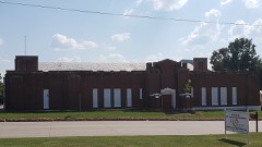 | Holdenville Armory | building | 1988 | 88001386 |
 | Holdenville City Hall | building | 1981 | 81000463 |
| Levering Mission | building | 1974 | 74001662 | |
| Moss School Gymnasium | building | 1988 | 88001388 | |
| Spaulding School Gymnasium-Auditorium | building | 1988 | 88001389 | |
| Stuart Hotel | building | 1982 | 82001496 | |
| John E. Turner House | building | 1983 | 83002090 | |
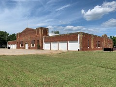 | Wetumka Armory | building | 1988 | 88001390 |
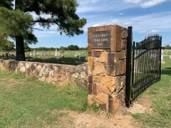 | Wetumka Cemetery Pavilion and Fence | building | 1988 | 88001391 |
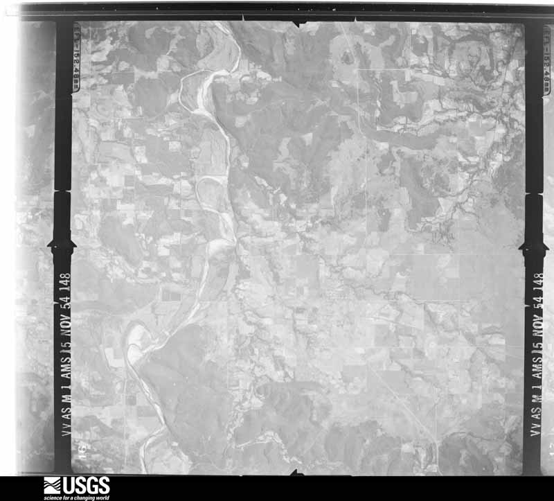
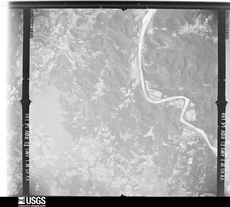
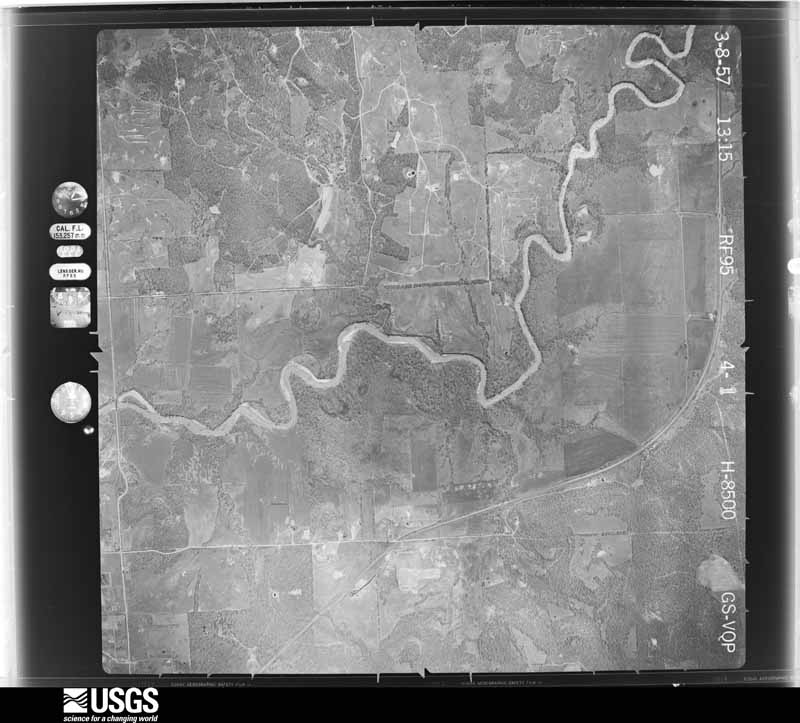
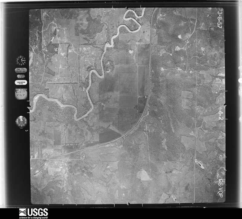
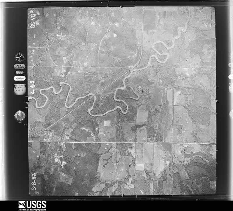
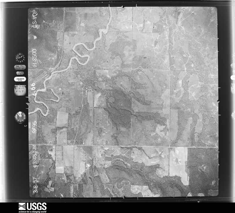
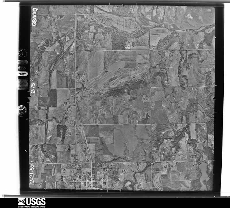
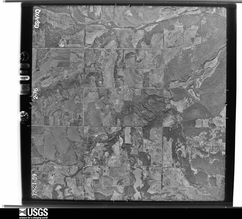
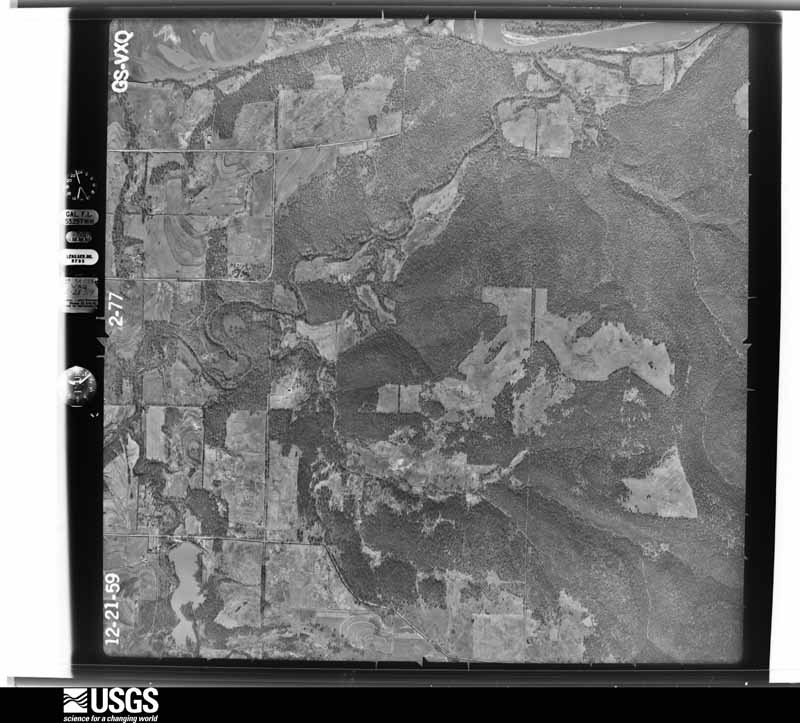
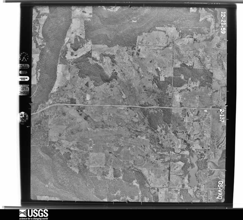
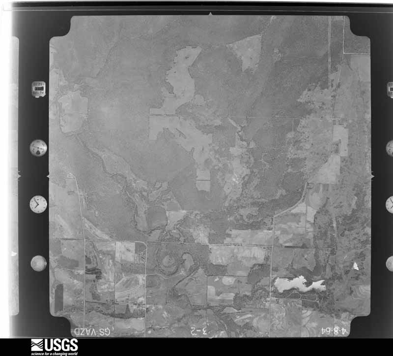
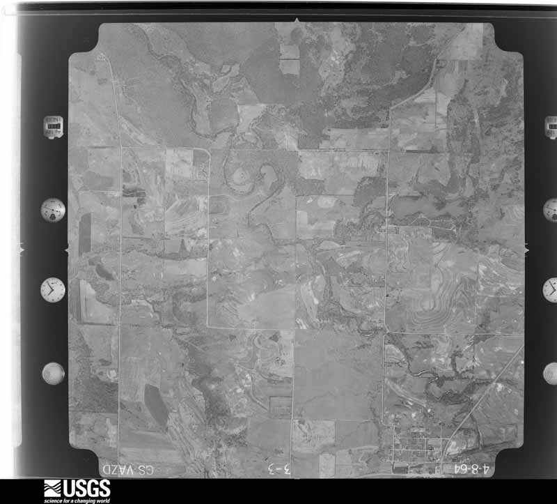
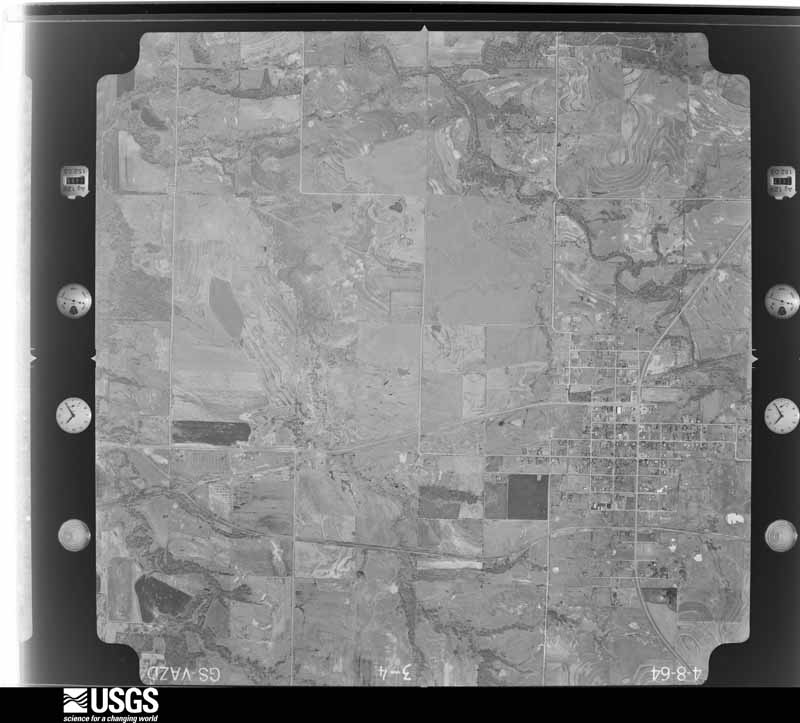
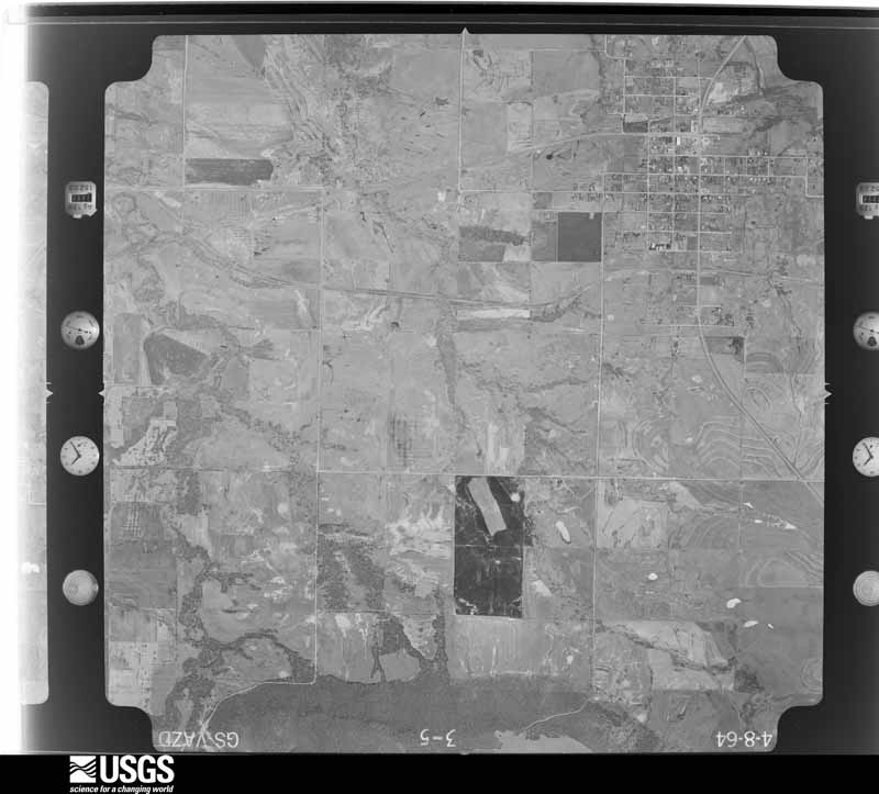
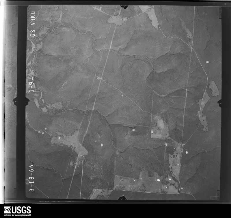
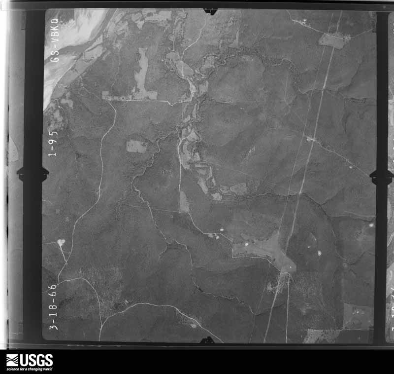
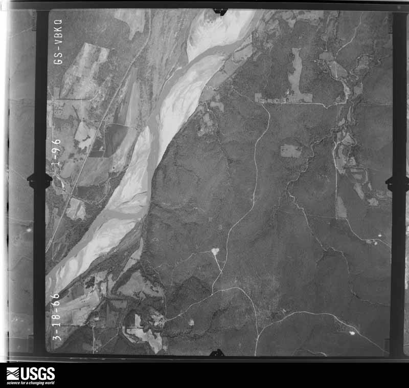
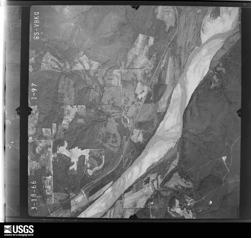
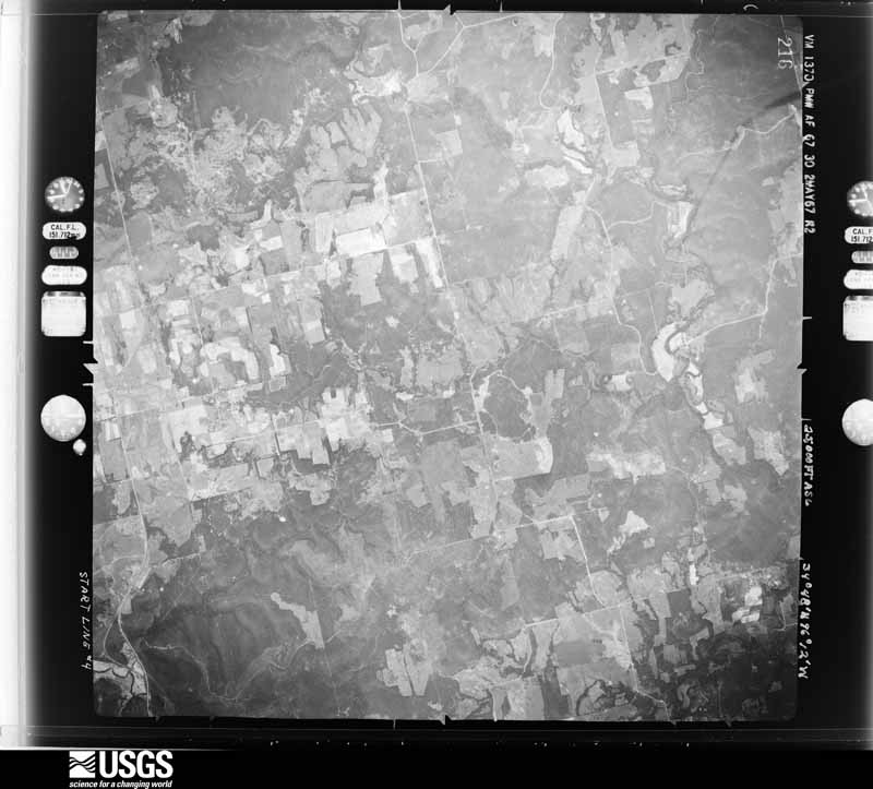
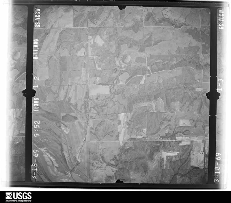
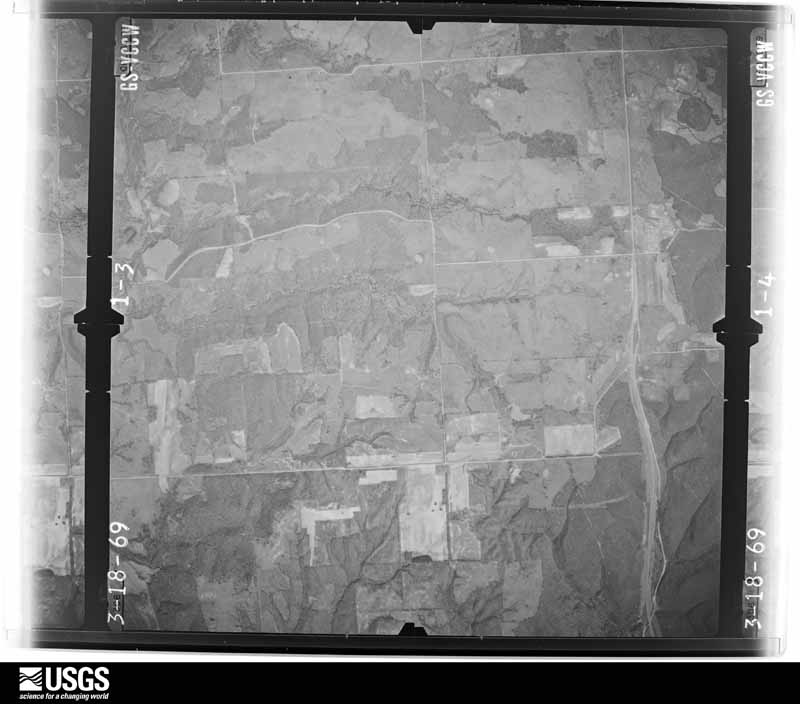
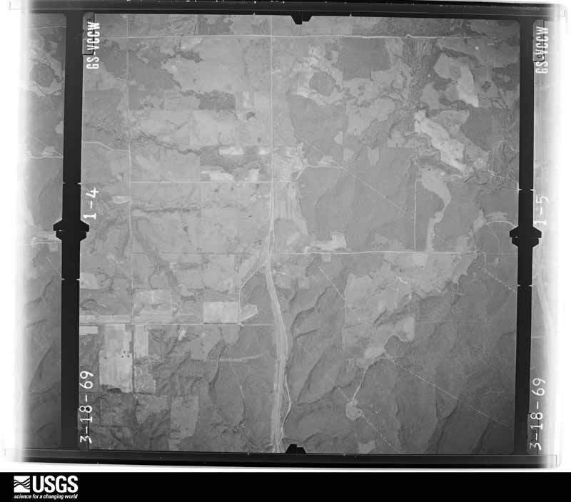
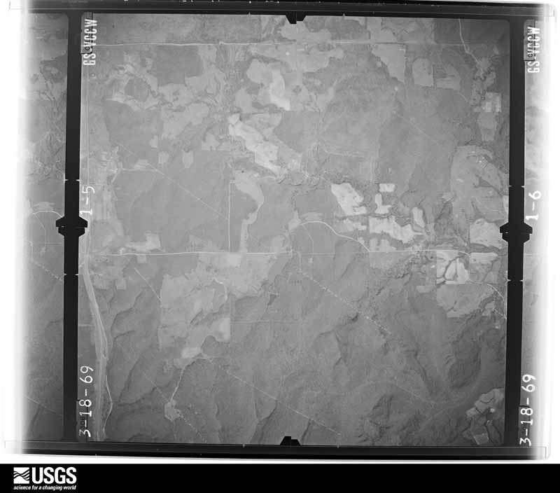
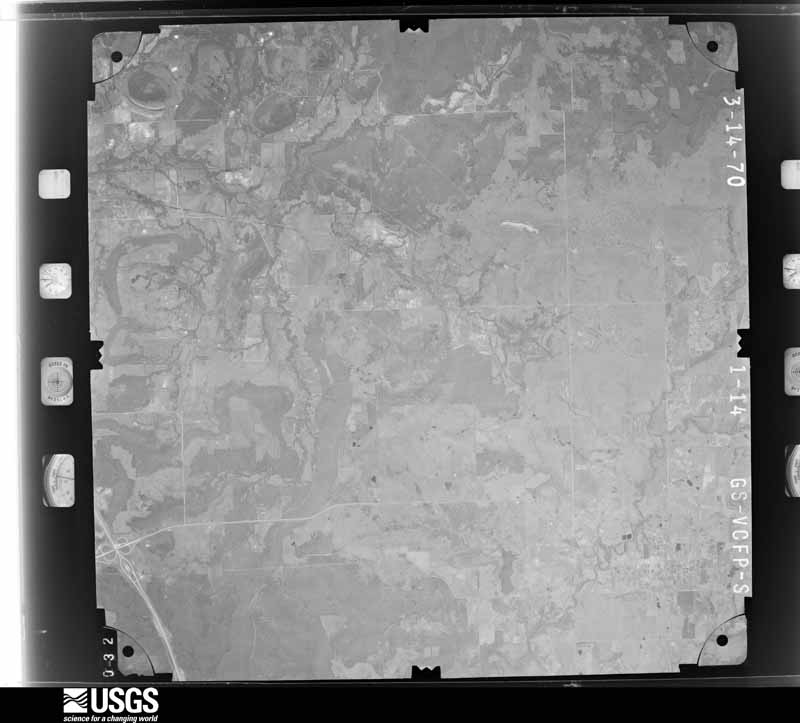
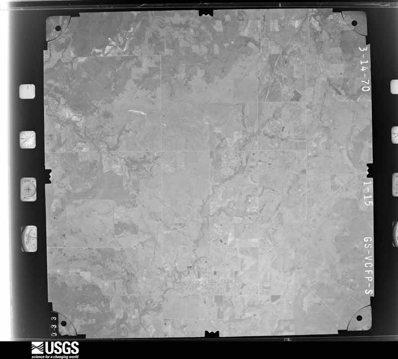
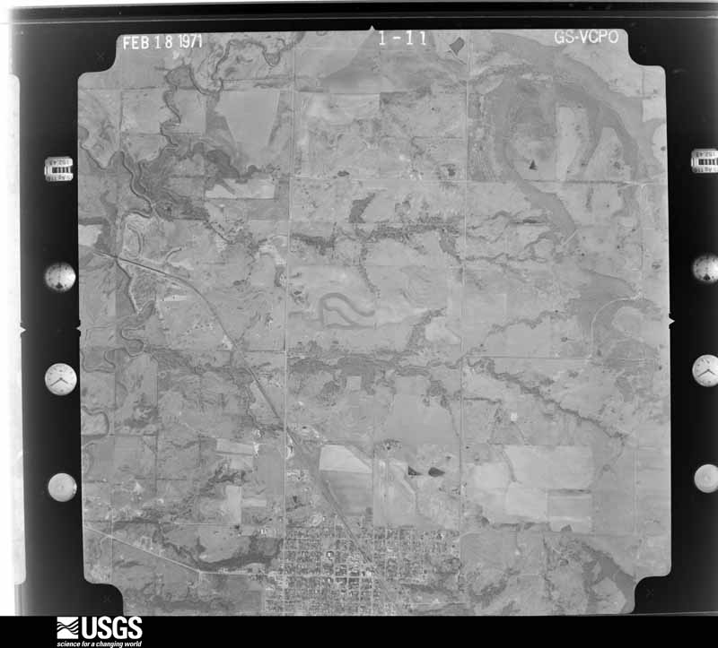
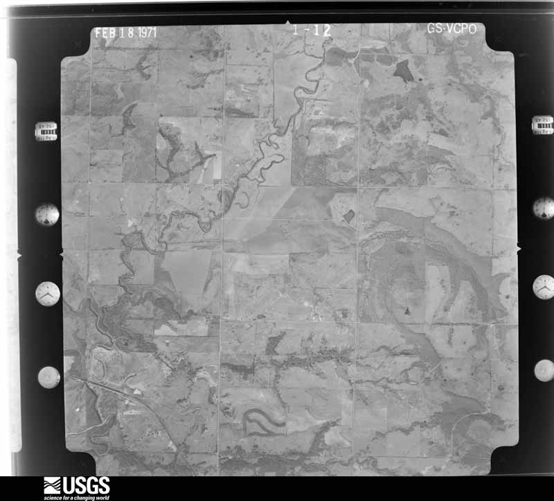
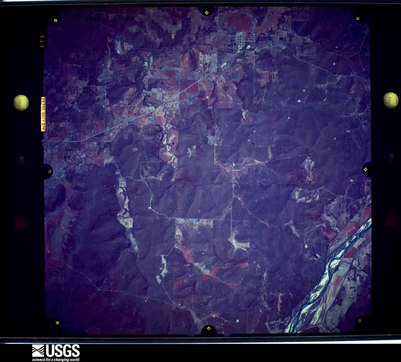
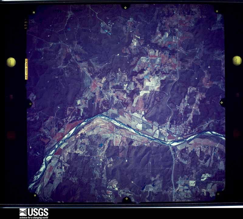
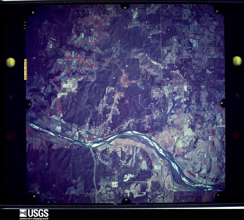
Flown by the U.S. Geological Survey between 1937 and 1989, the Aerial Photo Single Frames collection is the definitive mid-century view of the land: fields, roads and rivers as the camera saw them. The Survey holds 825 frames inside the rectangle that bounds this county; the 37 frames below were taken over the county itself, chosen across the decades of flights (at most four a year from that rectangle), so one flight cannot crowd out the rest. The full set is free to browse and download at EarthExplorer under the dataset Aerial Photo Single Frames.


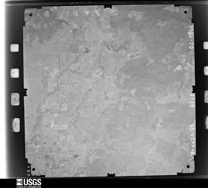
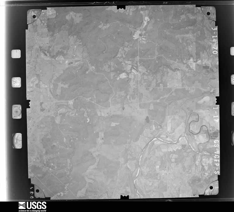
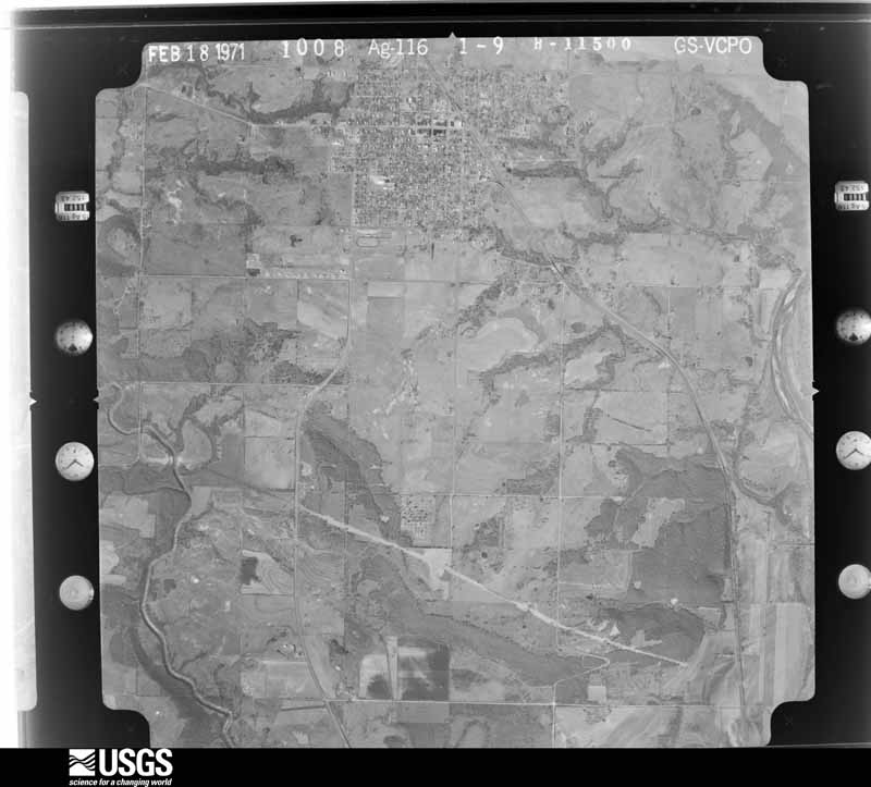
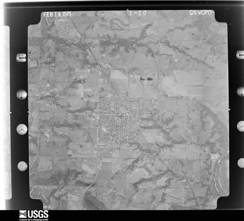

The thermometers that kept this county's weather, and the gages that measured the flow of its streams, as the federal records hold them. The extremes below are measured values from those records, not estimates.
Who lived here in 1950, one enumeration district at a time, as the Census Bureau described each district. Each row opens its official National Archives result, with Population Schedules and ED Maps available there.
Every wildfire the federal occurrence database records inside this county: 228 of them, burning about 106,006 acres. 6 started naturally and 69 were recorded as arson. Each settlement page carries the fires within five miles of it.
| Reported cause | Fires |
|---|---|
| Arson/incendiarism | 69 |
| Missing data/not specified/undetermined | 67 |
| Debris and open burning | 66 |
| Power generation/transmission/distribution | 10 |
| Equipment and vehicle use | 8 |
| Natural | 6 |
| Recreation and ceremony | 1 |
| Other causes | 1 |
The five largest, by the area the report gives. One of them was set deliberately.
| Date | Cause | Size | Reported by | Name on the report |
|---|---|---|---|---|
| 8 November 2005 | Missing data/not specified/undetermined | 17,299 acres | Talihina Agency | CABINESS |
| 26 December 2005 | Missing data/not specified/undetermined | 9,600 acres | Oklahoma Division of Forestry | WEWOKA CR. FIRE |
| 4 April 2011 | Debris and open burning | 4,620 acres | Okmulgee Field Office | SOUTH 160 |
| 17 November 2005 | Arson/incendiarism | 4,080 acres | Okmulgee Field Office | SIMPSONTIG |
| 19 March 2017 | Debris and open burning | 3,756 acres | Okmulgee Field Office | CHUPCO |
| 2 April 2011 | Debris and open burning | 3,520 acres | Okmulgee Field Office | HOG TRAP |
| 11 March 2011 | Missing data/not specified/undetermined | 3,300 acres | Okmulgee Field Office | SAND CREEK |
| 2 March 2017 | Debris and open burning | 3,265 acres | Okmulgee Field Office | DAIRY FARM |
Every settlement page carries the fires within five miles of it - see the settlement index below.
The NOAA Storm Events Database holds 423 reports for this county, causing 8 deaths, 52 injuries and about $9,725,930 in recorded property damage. Each settlement page carries the reports that name it.
| Kind of event | Reports |
|---|---|
| Hail | 219 |
| Thunderstorm Wind | 150 |
| Tornado | 40 |
| Flash Flood | 9 |
| Heavy Rain | 3 |
| Lightning | 2 |
The most serious of them, by death, then injury, then recorded damage. The accounts are quoted exactly as the forecast office filed them.
| When | Event | Place named | Harm | What the report says |
|---|---|---|---|---|
| April 1950 | Tornado (F4) | not stated | 5 killed, 32 hurt, $250,000 | no account filed |
| April 2024 | Tornado (EF3) | Spaulding | 2 killed, 4 hurt, $1,500,000 | The Spaulding-Holdenville Tornado developed along County Road N369 in the south side of the town of Spaulding and moved north through Spaulding causing roof damage to a few homes and damaging some outbuildings, metal buildings and trees. The damage in and near Spaulding was primarily EF1 damage.||The tornado became wider as it moved north-northeast from Spaulding becoming almost two-thirds of a mile wide as it crossed County Road E135 and a mile wide as it moved north of County Road E134. Most of the damage west of Holdenville was between Spaulding Road and County Road N369 missing the most populated part of Holdenville to the west and the missing the Davis Correctional Facility to the east. The tornado continued producing roof damage to homes as well as damage to outbuildings, metal buildings, trees and power poles. ||The tornado was still about one mile in width as it moved north-northeast crossing US Highway 270 and County Road E132, but the intensity increased from EF1 to EF3 as it approached County Road E131. Multiple mobile homes were completely destroyed in this area. Two fatalities occurred in mobile homes here where a 35 year old man was killed in one mobile home and a 4 month old girl was killed in another.||Although the tornado moved through less densely populated areas of Hughes County continued moving north-northeast through less densely populated areas of Hughes County, it still produced significant roof damage to homes and destroyed mobile homes as it continued moving north-northeast, especially along State Highway 48 north of Holdenville, County Road E125 just east of State Highway 48, and E120 Road where EF2 damage was observed in each of these areas. The tornado then crossed E119 Road into Okfuskee County. See the Eastern Oklahoma entry from NWS Tulsa for the continuation of this tornado. |
| April 2025 | Tornado (EF1) | Spaulding | 1 killed, 1 hurt, $400,000 | Tornado began south of Spaulding, moving to the north into Spaulding and then northeast. EF1 damage was found in Spaulding at a manufactured home which suffered major damage along E138 Road where one man was killed and a woman injured. Several homes had at least minor damage, with several homes losing roofs, windows, and walls. |
| May 1954 | Tornado (F2) | not stated | 6 hurt, $2,500,000 | no account filed |
| September 1950 | Tornado (F2) | not stated | 6 hurt, $250,000 | no account filed |
| February 1961 | Tornado (F3) | not stated | 2 hurt, $2,500,000 | no account filed |
| April 1966 | Tornado (F2) | not stated | 1 hurt, $25,000 | no account filed |
| March 1982 | Tornado (F2) | not stated | $250,000 | no account filed |
| June 1974 | Tornado (F1) | not stated | $250,000 | no account filed |
| October 1969 | Tornado (F2) | not stated | $250,000 | no account filed |
| April 1957 | Tornado (F2) | not stated | $250,000 | no account filed |
| May 2001 | Tornado (F2) | Dustin | $175,000 | A damage survey conducted by National Severe Storms Laboratory meteorologists confirmed F2 damage approximately 6 miles southwest of Dustin, when 80 percent of a house roof was blown off. As the tornado moved east-northeast sporadic roof damage was sustained to other homes; an antenna was wrapped around a telephone pole; trees were damaged; farm buildings were destroyed; power poles were bent, and two feeders were bent up. The tornado then tracked into McIntosh County. See storm data from the National Weather Service Office in Tulsa for more information on the McIntosh County segment of this tornado. Eye witnesses described the tornado as multiple-vortex. |
| July 1997 | Lightning | Holdenville | $100,000 | Lightning struck and set fire to a brick home, destroying the house and its contents. |
| March 2025 | Tornado (EF1) | Horntown | $75,000 | A tornado developed northeast of Horntown and moved east-northeast for about three miles damaging at least two buildings. |
| September 2023 | Thunderstorm Wind | Holdenville | $75,000 | Widespread wind damage occurred throughout the community of Holdenville. The most significant damage occurred in the vicinity of Stroup Park, where numerous large (24-36+ inch diameter) trees were snapped or uprooted along with numerous large limbs blown down. Multiple power poles were blown down and a few homes had minor roof damage on the north side of the community as well. Additional power poles were snapped near the base further south, near the intersection of East 5th Avenue and Hinckley Street. Time is radar estimated. |
| April 2025 | Thunderstorm Wind | Holdenville | $50,000 | Relayed images showing light roof damage to a home, trees blown down and a metal barn destroyed. Event time is estimated from radar observations and a severe wind gust from the nearby Holdenville Mesonet. |
| May 2012 | Thunderstorm Wind | Wetumka | $50,000 | Emergency management reported numerous power poles down down with one tree blown onto a residence. Damages estimated. |
| May 1995 | Tornado (F2) | Holdenville | $50,000 | no account filed |
| September 1993 | Thunderstorm Wind | Holdenville | $50,000 | no account filed |
| September 1993 | Thunderstorm Wind | Holdenville | $50,000 | no account filed |
| May 2012 | Thunderstorm Wind | Holdenville | $40,000 | One large metal roof was blown off a building in downtown Holdenville with widespread tree damage also reported. Monetary damages are estimated. |
| April 1999 | Thunderstorm Wind | Holdenville | $40,000 | no account filed |
| May 2025 | Tornado (EF1) | Allen | $30,000 | This tornado developed in Hughes County to the southeast of Allen and moved generally northeast. Tree damage was observed along the path with significant tree damage along County Roads 1480 and 3725. At least one home and one barn had roof damage. |
| May 2015 | Flash Flood | Holdenville | $30,000 | Numerous roads impassable due to flooding. One high water rescue with a stalled car. |
| July 2012 | Thunderstorm Wind | Holdenville | $30,000 | Holdenville fire department reported trees downed with damage to homes. Monetary damage estimated. |
| July 2000 | Thunderstorm Wind | Holdenville | $30,000 | Damage was sustained to roofs, trees, and power poles on Eastern Hills Road. |
| July 2000 | Thunderstorm Wind | Holdenville | $30,000 | An RV was blown over at Lake Holdenville, which is 5 miles southeast of Holdenville. In addition, trees and power poles were downed, and numerous house roofs sustained minor structural damage. |
| April 2025 | Thunderstorm Wind | Stuart | $25,000 | Relayed images show light roof damage to a house and large tree branches blown down. Event time is estimated from radar observations. |
| May 1997 | Thunderstorm Wind | Dustin | $25,000 | Severe thunderstorm winds destroyed a barn and feed silo and lifted a mobile home from its foundation, causing extensive damage. A dog pen was also lifted and blown onto a dog, killing the animal. A large tree was uprooted at this same location. |
| May 1992 | Tornado (F1) | not stated | $25,000 | no account filed |
| May 1983 | Tornado (F2) | not stated | $25,000 | no account filed |
| July 1964 | Tornado (F2) | not stated | $25,000 | no account filed |
| May 1961 | Tornado | not stated | $25,000 | no account filed |
| March 1961 | Tornado (F2) | not stated | $25,000 | no account filed |
| January 1957 | Tornado (F2) | not stated | $25,000 | no account filed |
| January 1957 | Tornado (F2) | not stated | $25,000 | no account filed |
| April 2025 | Thunderstorm Wind | Wetumka | $15,000 | Relayed images showing multiple large tree limbs blown down, including at least one that landed on a parked vehicle. Event time is estimated from radar observations. |
| July 2017 | Thunderstorm Wind | Holdenville | $15,000 | A roof was blown off of the Masonic lodge. A few signs were destroyed. Significant tree damage was also observed. |
| January 1996 | Thunderstorm Wind | Lamar | $15,000 | no account filed |
| April 2001 | Thunderstorm Wind | Calvin | $12,000 | A 20 by 30 ft. barn and a smaller barn were destroyed. |
| August 1999 | Thunderstorm Wind | Wetumka | $12,000 | no account filed |
| June 2003 | Thunderstorm Wind | Holdenville | $7,500 | Shingles were blown off several homes. Many trees were also damaged. |
| May 2008 | Thunderstorm Wind | Wetumka | $6,000 | Pipes at a pumping station near Lake Wetumka were blown loose. A few large tree branches and shingles on a home were blown down near Wetumka. Monetary damages were estimated. |
| August 2023 | Thunderstorm Wind | Lamar | $5,000 | Relayed images showing multiple 36-inch diameter tree limbs blown down and a barn with a wall collapsed. Time is radar estimated. |
| September 2023 | Thunderstorm Wind | Yeager | $5,000 | A large metal barn had a section of its roof peeled back. Time is radar estimated. |
| May 2022 | Thunderstorm Wind | Atwood | $5,000 | Camper overturned in roadway. |
| April 2017 | Thunderstorm Wind | Gerty | $5,000 | Report of a roof blown off and tree damage. |
| April 2017 | Thunderstorm Wind | Holdenville | $5,000 | Winds caused roof damage. Time estimated by radar. |
| April 2017 | Tornado (EF0) | Holdenville | $5,000 | A few trees were damaged and there was some roof damage to some homes and businesses as a small tornado moved northeast across the south and east side of Holdenville. |
| September 2009 | Thunderstorm Wind | Holdenville | $5,000 | A few large tree limbs were downed along Highway 48. Nickel-size hail was also reported at this location. Monetary damages were estimated. |
| April 2008 | Thunderstorm Wind | Holdenville | $5,000 | A roof was blown off of a house. Monetary damages were estimated. |
| April 2008 | Thunderstorm Wind | Yeager | $5,000 | A trailer home was blown over onto its side. Monetary damages were estimated. |
| July 1995 | Thunderstorm Wind | Holdenville | $5,000 | Severe thunderstorms moved across northern Oklahoma during the evening of the 25th and continued into central Oklahoma into the early morning hours of the 26th. Hail as large as quarters was reported in Lookout in Woods County. Severe thunderstorm winds were measured at 63 mph at the Oklahoma Mesonet site three miles southeast of Breckenridge in Garfield County. Severe thunderstorm winds up to 60 mph blew down a six-inch tree two miles northwest of Gibbon in Grant County. In Ponca City in Kay County, winds blew a metal storage shed into the road and felled a tree onto a street. In Noble County in Perry a two-foot tree was felled, and in Oklahoma County in Edmond power lines were downed, knocking out power to 2,000 people. In Hughes County in Holdenville, trees and roofs were damaged by severe winds and at least one county road was blocked by a fallen tree. Lightning from the thunderstorms struck a chimney in Ponca City in Kay County, causing it to explode. No fire was started, and the damage was estimated at $4000. In Payne County in Stillwater lightning struck and ignited a wood frame home, resulting in $20,000 damage. In Coyle in Logan County lightning struck and set fire to a church steeple. The church, built in 1902, burned to the ground. |
| August 2001 | Thunderstorm Wind | Holdenville | $4,000 | Two barns were destroyed. |
| May 2022 | Thunderstorm Wind | Calvin | $3,000 | Roof blown off of a building. Time from radar. |
| August 2015 | Thunderstorm Wind | Dustin | $3,000 | Tree blown on to roof of house. |
| August 2011 | Thunderstorm Wind | Calvin | $3,000 | A couple of trees were blown across the roadway. Monetary damages were estimated. |
| June 1999 | Lightning | Holdenville | $3,000 | no account filed |
| May 1959 | Tornado (F2) | not stated | $2,500 | no account filed |
| August 1954 | Tornado (F1) | not stated | $2,500 | no account filed |
The Survey's mineral resources record lists 42 workings inside this county. 2 still produce and 40 are closed or unrecorded. Each settlement page carries the workings within five miles of it.
| Commodity | Workings |
|---|---|
| Sand and Gravel, Construction | 28 |
| Clay | 8 |
| Pumice | 3 |
| Stone, Crushed/Broken | 2 |
| Stone | 1 |
The least common of them first, because a county's hundredth gravel pit says nothing its first ten did not.
| Where | Site | Commodity | Status | Recorded |
|---|---|---|---|---|
| Unknown Shale Pit | Stone | Past Producer | ||
| Unknown Limestone Pit | Stone, Crushed/Broken | Past Producer | ||
| Unknown Limestone Pits | Stone, Crushed/Broken | Past Producer | ||
| Unknown Ash Pit | Pumice | Past Producer | ||
| Unknown Ash Pit | Pumice | Past Producer | ||
| Unknown Ash Pit | Pumice | Past Producer | ||
| Unknown Shale Pit | Clay | Past Producer | ||
| Unknown Shale Pit | Clay | Past Producer | ||
| Unknown Shale Pit | Clay | Past Producer | ||
| Unknown Shale Pit | Clay | Past Producer | ||
| Unknown Shale Pit | Clay | Past Producer | ||
| Unknown Shale Pit | Clay | Past Producer | ||
| Unknown Shale Pit | Clay | Past Producer | ||
| Unknownshale Pit | Clay | Past Producer | ||
| Turpin Brothers Pit | Sand and Gravel, Construction | Producer | ||
| Unknown Gravel Pit | Sand and Gravel, Construction | Past Producer | ||
| Unknown Gravel Pit | Sand and Gravel, Construction | Past Producer | ||
| Unknown Gravel Pit | Sand and Gravel, Construction | Past Producer | ||
| Unknown Gravel Pit | Sand and Gravel, Construction | Past Producer | ||
| Unknown Gravel Pit | Sand and Gravel, Construction | Past Producer | ||
| Unknown Gravel Pit | Sand and Gravel, Construction | Past Producer | ||
| Unknown Gravel Pit | Sand and Gravel, Construction | Past Producer | ||
| Unknown Gravel Pit | Sand and Gravel, Construction | Past Producer | ||
| Unknown Gravel Pit | Sand and Gravel, Construction | Past Producer | ||
| Unknown Gravel Pit | Sand and Gravel, Construction | Past Producer | ||
| Unknown Gravel Pit | Sand and Gravel, Construction | Past Producer | ||
| Unknown Gravel Pit | Sand and Gravel, Construction | Past Producer | ||
| Unknown Gravel Pit | Sand and Gravel, Construction | Past Producer | ||
| Unknown Gravel Pit | Sand and Gravel, Construction | Past Producer | ||
| Unknown Gravel Pit | Sand and Gravel, Construction | Producer | ||
| Unknown Gravel Pit | Sand and Gravel, Construction | Past Producer | ||
| Unknown Gravel Pits | Sand and Gravel, Construction | Past Producer | ||
| Unknown Gravel Pits | Sand and Gravel, Construction | Past Producer | ||
| Unknown Gravel Pits | Sand and Gravel, Construction | Past Producer | ||
| Unknown Gravel Pits | Sand and Gravel, Construction | Past Producer | ||
| Unknown Gravel Pits | Sand and Gravel, Construction | Past Producer | ||
| Unknown Gravel Pits | Sand and Gravel, Construction | Past Producer | ||
| Unknown Gravel Pits | Sand and Gravel, Construction | Past Producer | ||
| Unknown Gravel Pits | Sand and Gravel, Construction | Past Producer | ||
| Unknown Gravel Pits | Sand and Gravel, Construction | Past Producer | ||
| Unknown Sand Pit | Sand and Gravel, Construction | Past Producer | ||
| Unknown Sand Pits | Sand and Gravel, Construction | Past Producer |
Named settlements recorded in the Geographic Names Information System, each with the topographic sheets covering it. Villages, hamlets and abandoned places alike. Each is shown with the nearest named watercourse or landform and the survey quadrangle it falls on. The 4 places that were also surveyed for fire insurance come first, with the number of atlases and photographs held for them.
South Hughes census division · 74531 · On Hay Creek · Calvin East quadrangle
13 sheets, 1896 to 1990
Fire insurance: 6 atlases
Wetumka census division · 74839 · Dustin quadrangle
14 sheets, 1900 to 1985
Fire insurance: 2 atlases
Holdenville census division · 74848 · Holdenville quadrangle
12 sheets, 1900 to 1985
Fire insurance: 8 atlases
Wetumka census division · 74883 · Wetumka quadrangle
13 sheets, 1900 to 1985
Fire insurance: 7 atlases
South Hughes census division · 74827 · On Leader Creek · Calvin West quadrangle
12 sheets, 1896 to 1990
Holdenville census division · 74850 · On Lamar Mountain · Lamar quadrangle
12 sheets, 1900 to 1985
Holdenville census division · 74848 · Near Potato Hill · Holdenville quadrangle
12 sheets, 1900 to 1985
South Hughes census division · 74570 · On Hegwood Creek · Stuart quadrangle
13 sheets, 1896 to 1990
12 topographic sheets and 8 fire insurance atlases, 1898 to 1948
13 topographic sheets and 7 fire insurance atlases, 1902 to 1943
13 topographic sheets and 6 fire insurance atlases, 1898 to 1926