 Block
From the record
10 National Register listings published here.
Sources: the National Register database, National Park Service
55 topographic sheets and 29 fire insurance atlases across 4 places.
10 National Register listings published here.
Sources: the National Register database, National Park Service
Every property in this county listed on the National Register of Historic Places, with the year it was listed and the federal nomination document.
| Photograph | Property | Type | Listed | Reference |
|---|---|---|---|---|
| Burrus Mills Elevator C | structure | 2000 | 00000621 | |
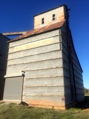 | Dow Grain Company Elevator | structure | 2000 | 00001041 |
| Farmers Co-op Elevator | structure | 2000 | 00001042 | |
| Farmers and Merchants National Bank | building | 1984 | 84003085 | |
| Kiel-Dover Farmers Elevator | structure | 2000 | 00001043 | |
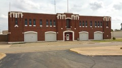 | Kingfisher Armory | building | 1994 | 94000279 |
| Kingfisher College Site | site | 1976 | 76001566 | |
| Kingfisher Memorial Hall | building | 2006 | 06000487 | |
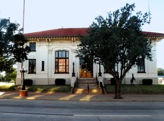 | Kingfisher Post Office | building | 1978 | 78002239 |
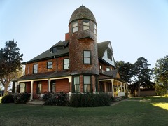 | Seay Mansion | building | 1971 | 71000664 |
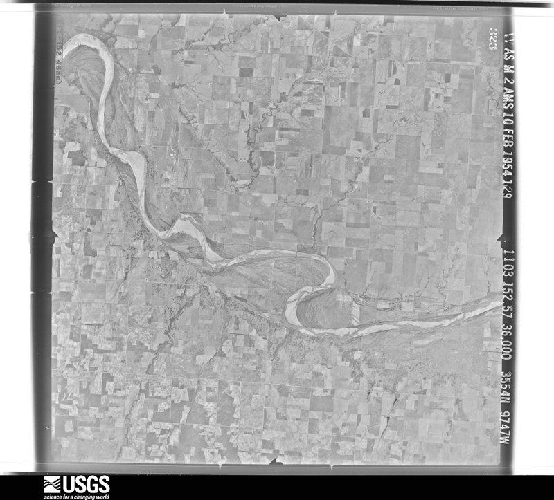
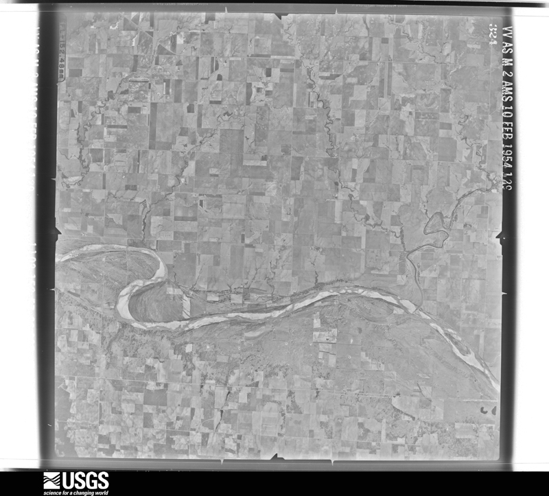
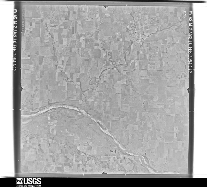
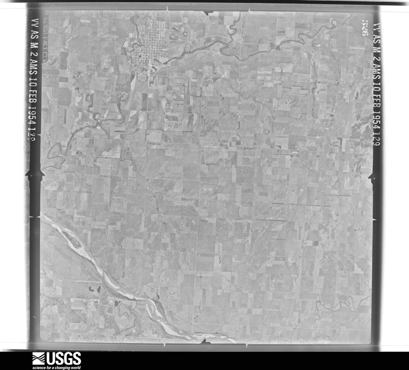
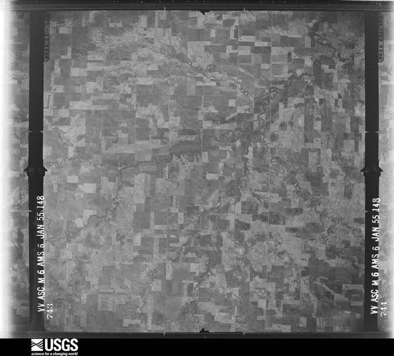
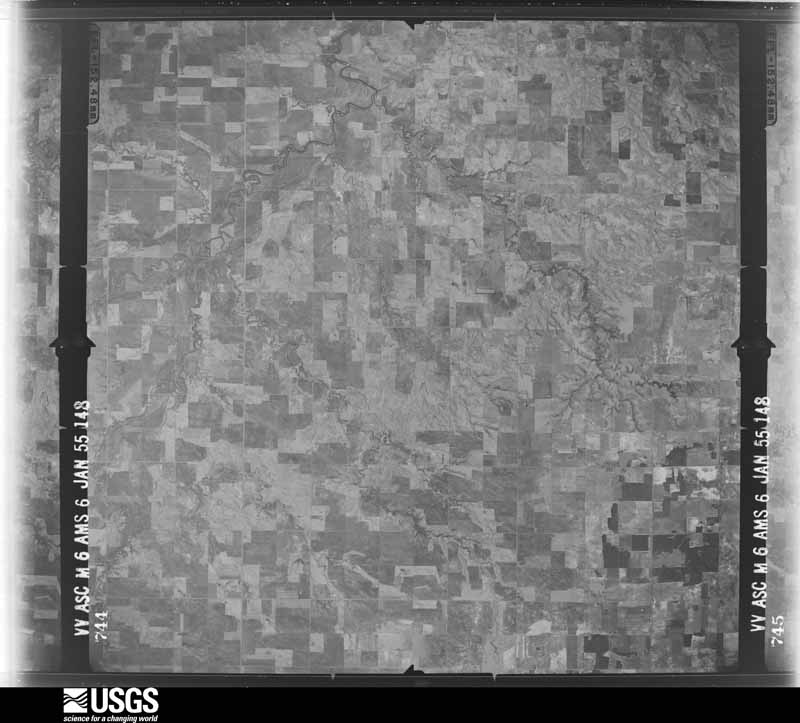
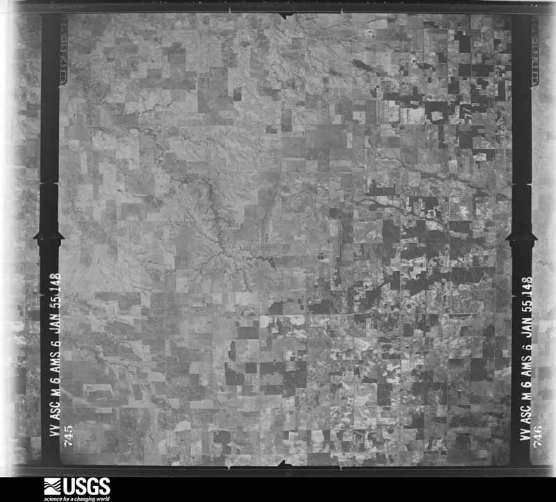
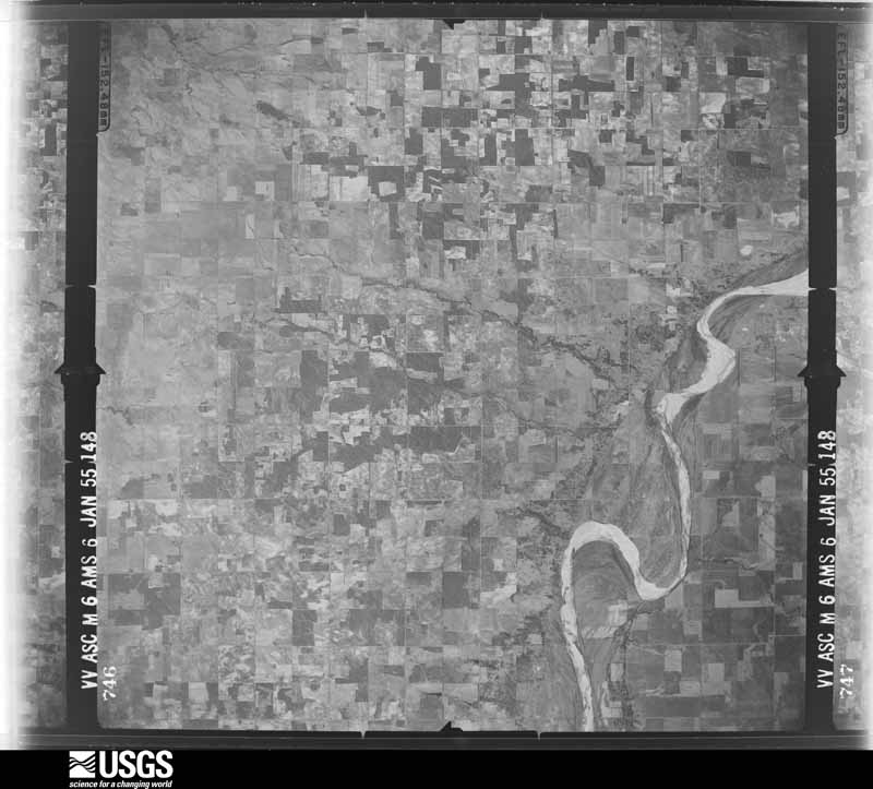
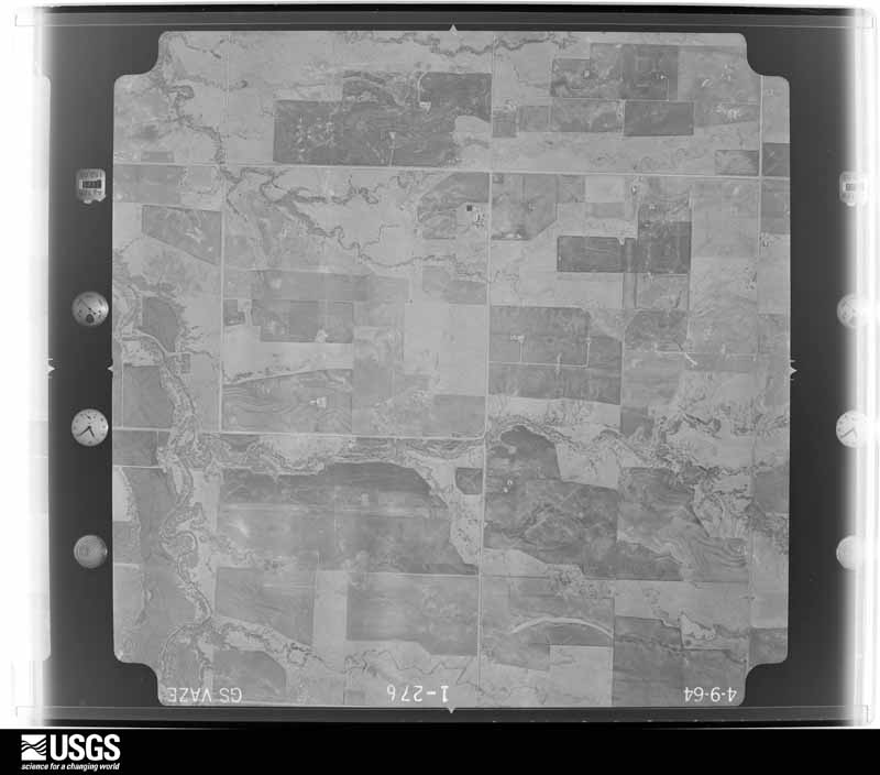
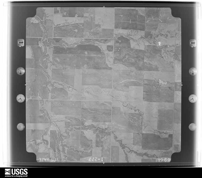
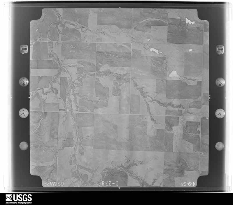
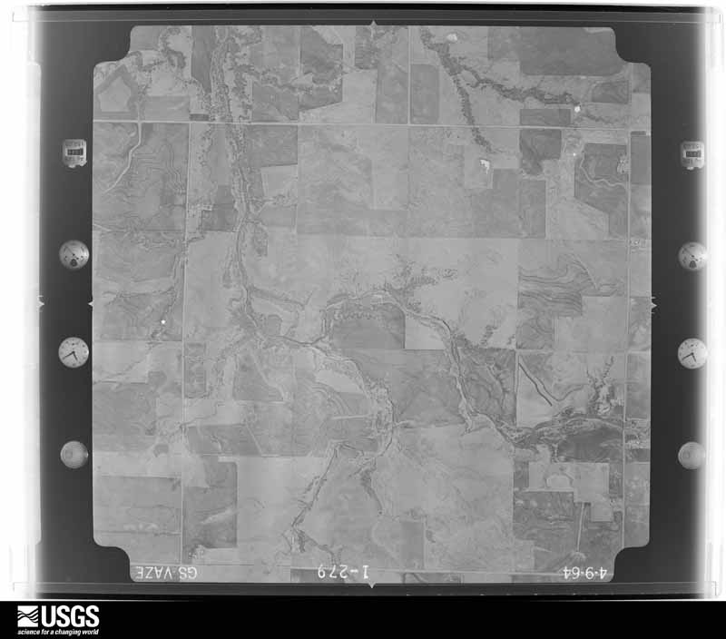
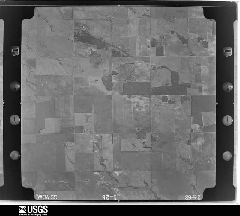
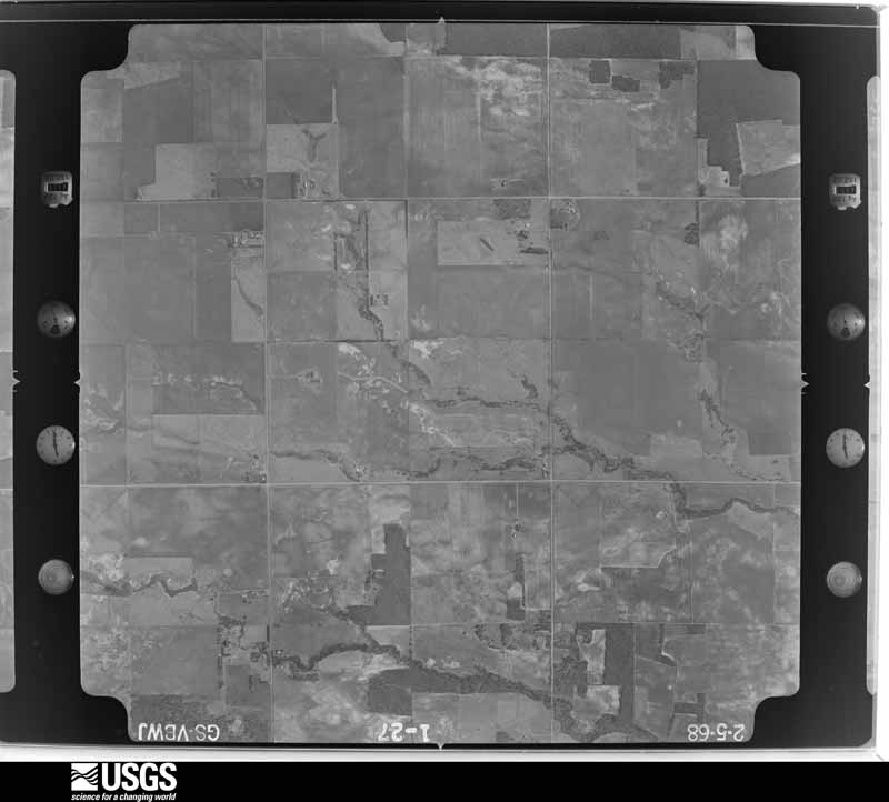
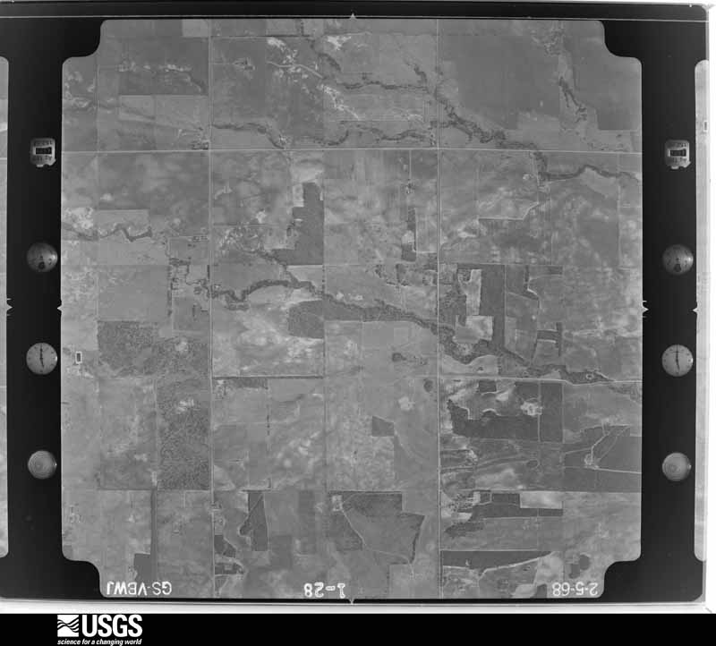
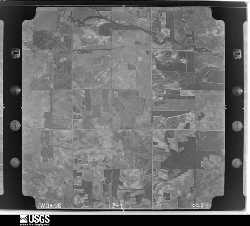
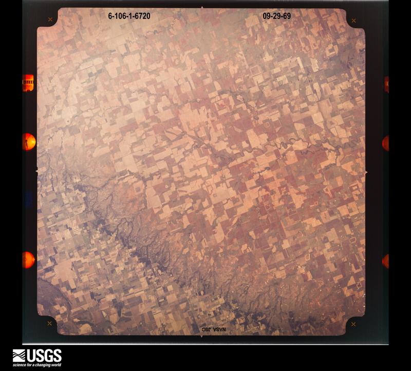
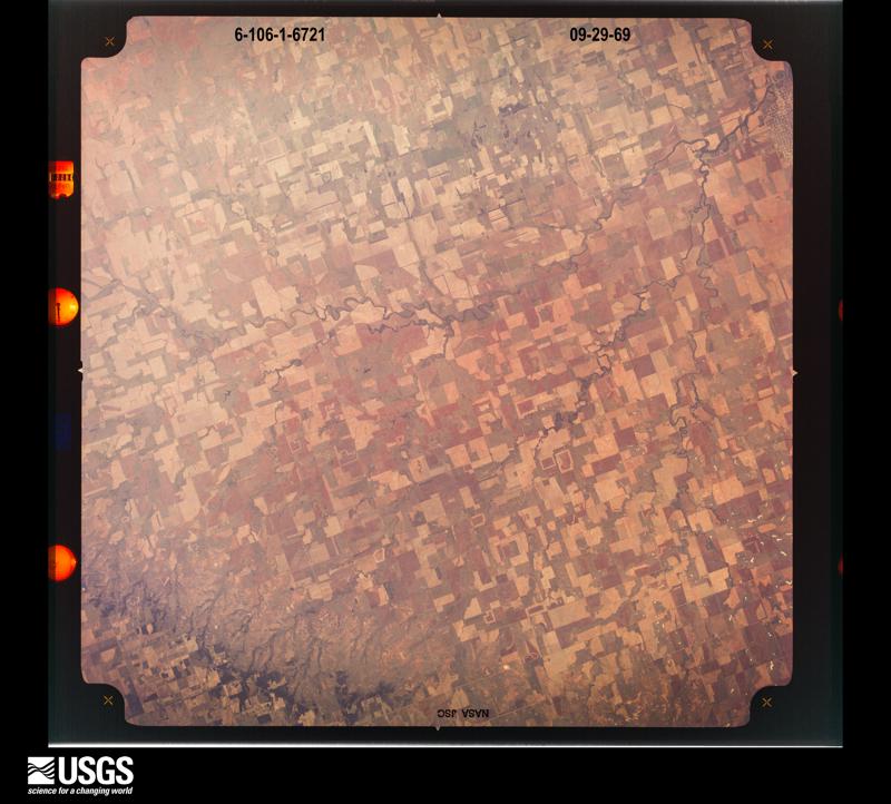
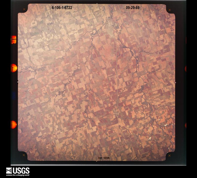
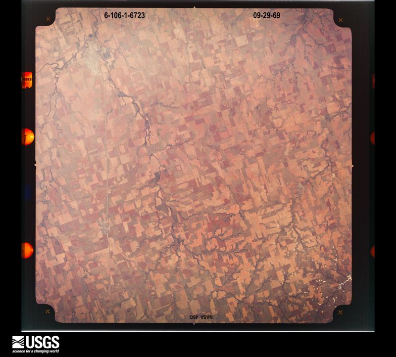
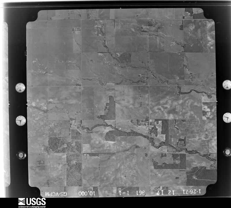
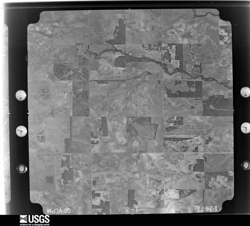
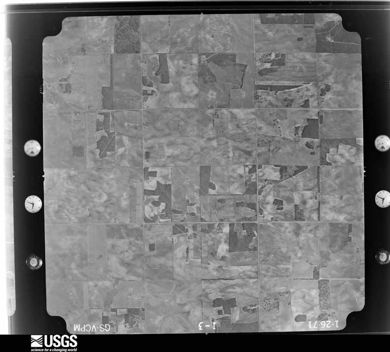
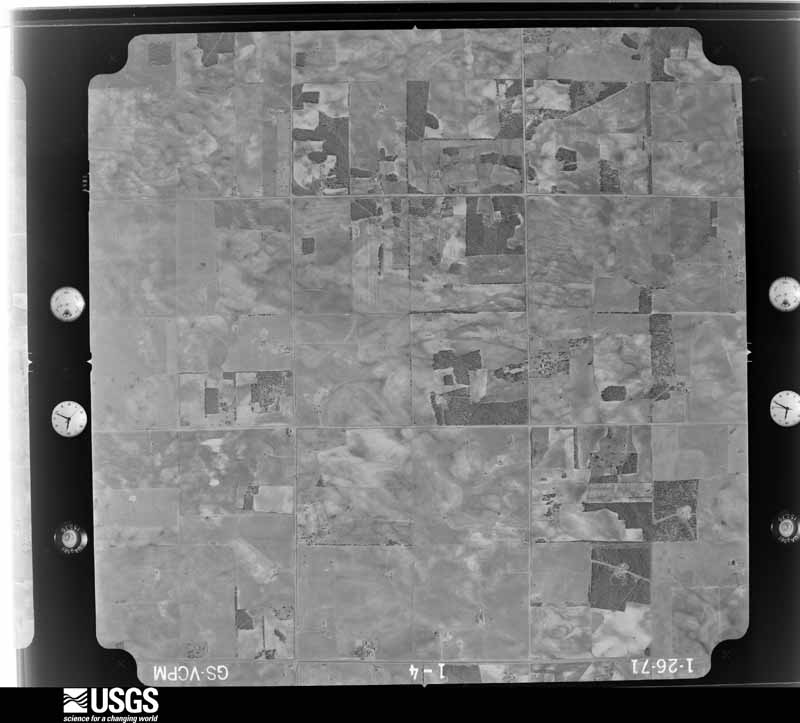
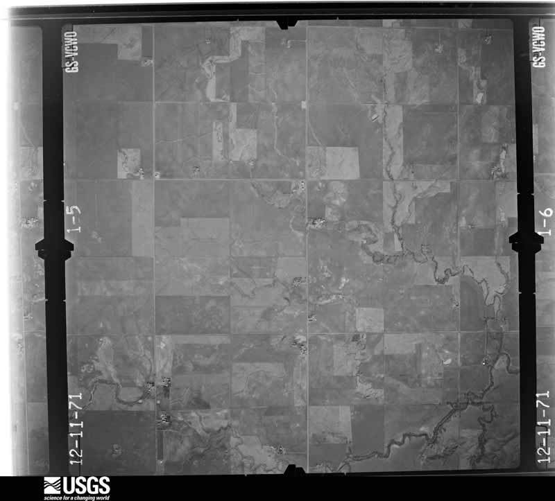
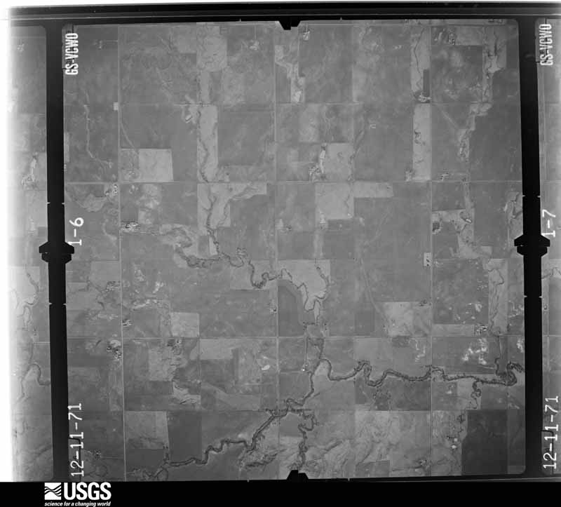
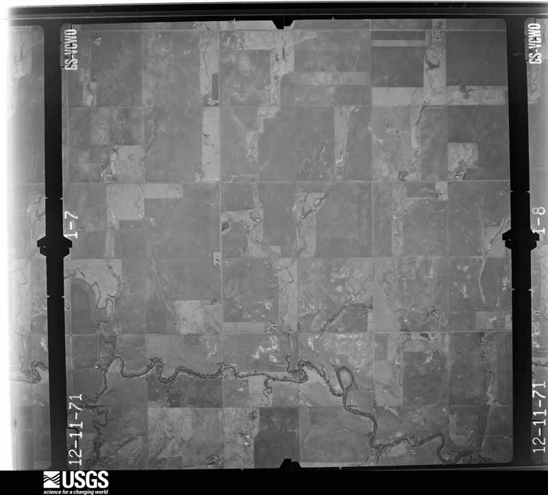
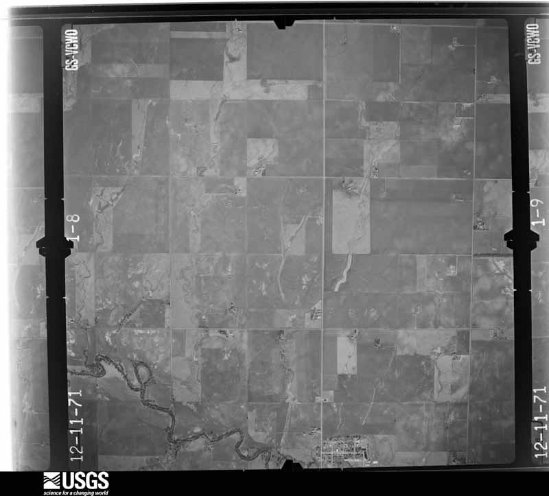
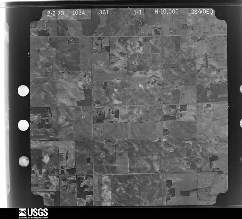
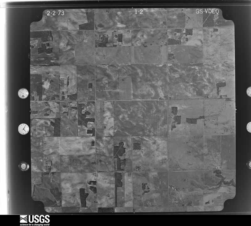
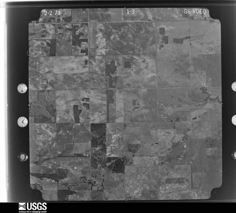
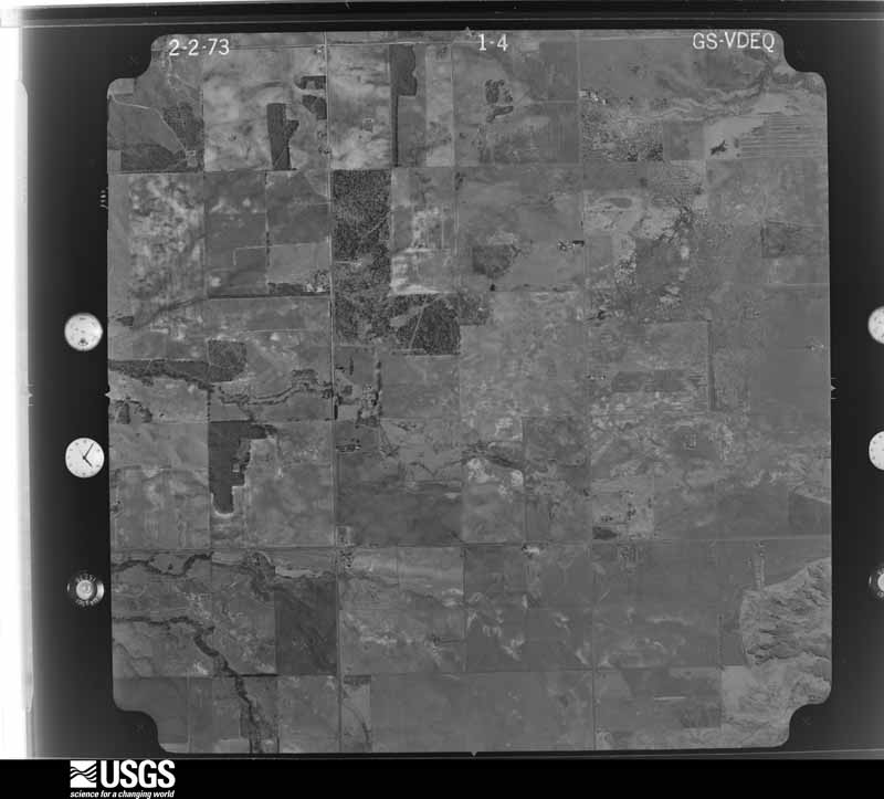
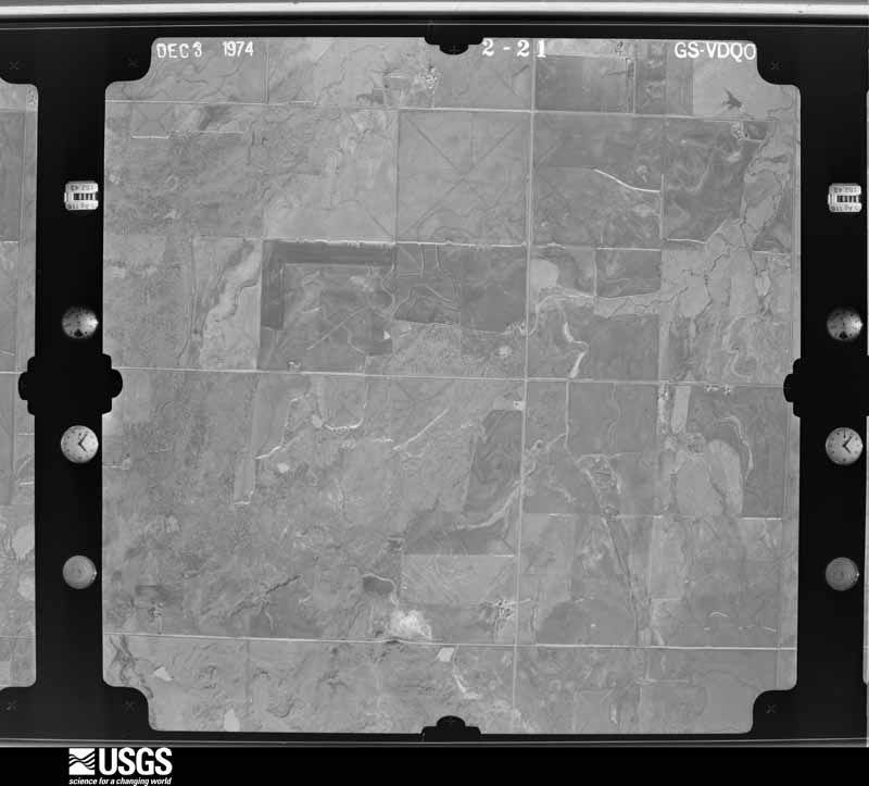
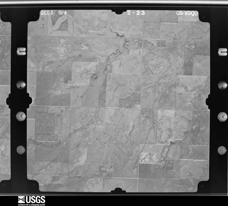
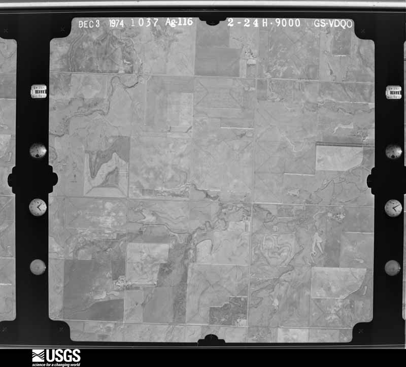
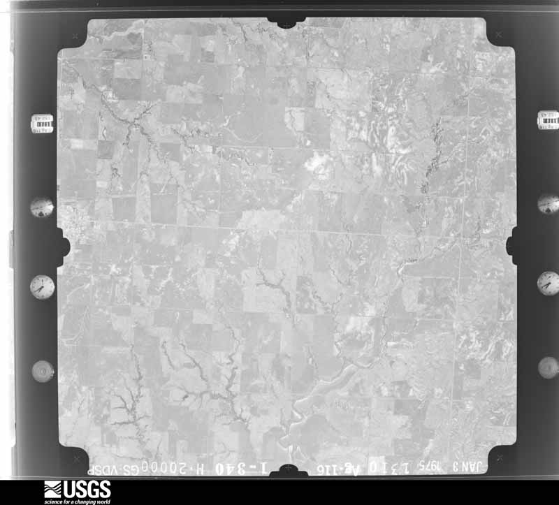
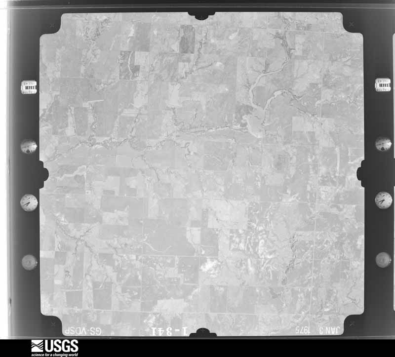
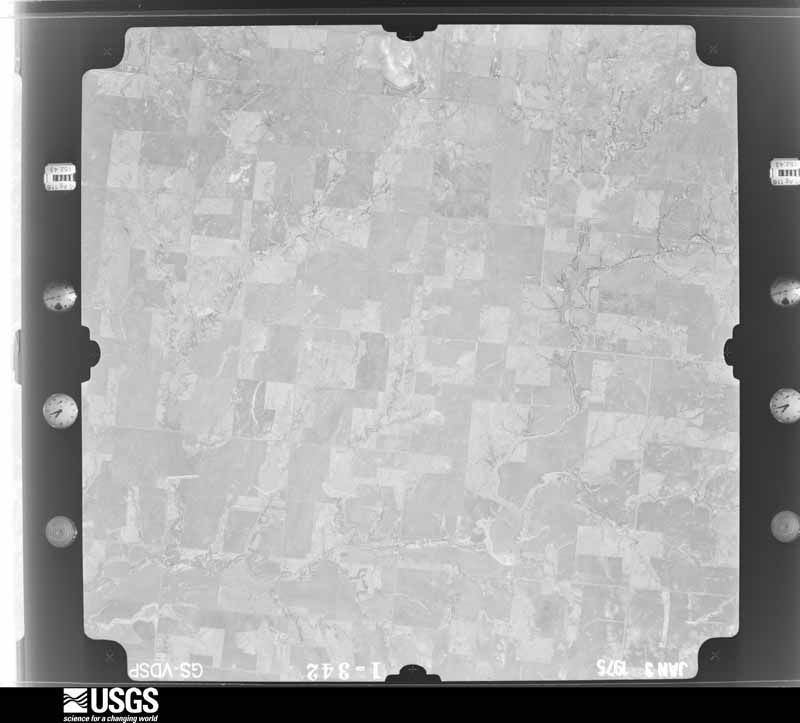
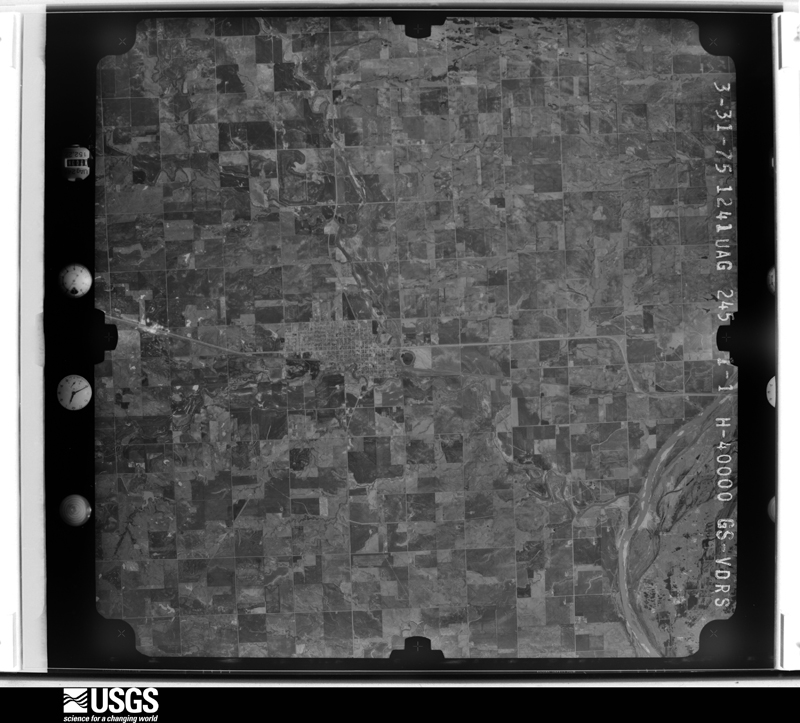
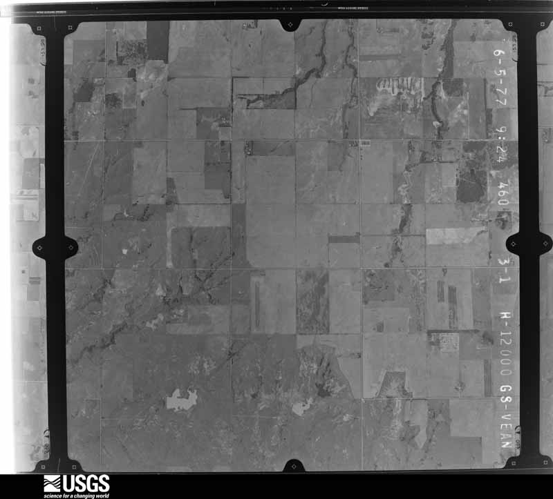
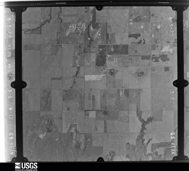
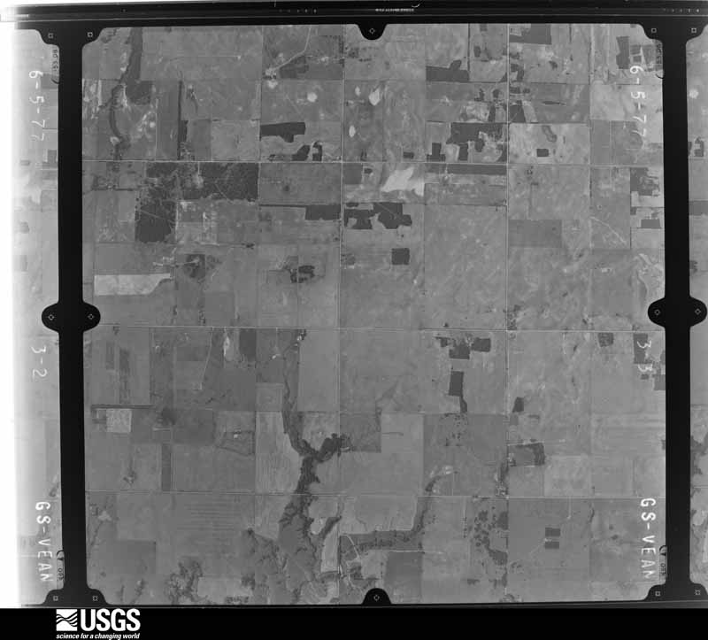
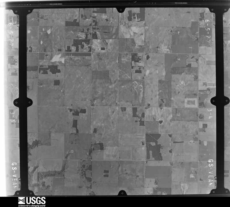
Flown by the U.S. Geological Survey between 1937 and 1989, the Aerial Photo Single Frames collection is the definitive mid-century view of the land: fields, roads and rivers as the camera saw them. The Survey holds 1,112 frames inside the rectangle that bounds this county; the 48 frames below were taken over the county itself, chosen across the decades of flights (at most four a year from that rectangle), so one flight cannot crowd out the rest. The full set is free to browse and download at EarthExplorer under the dataset Aerial Photo Single Frames.
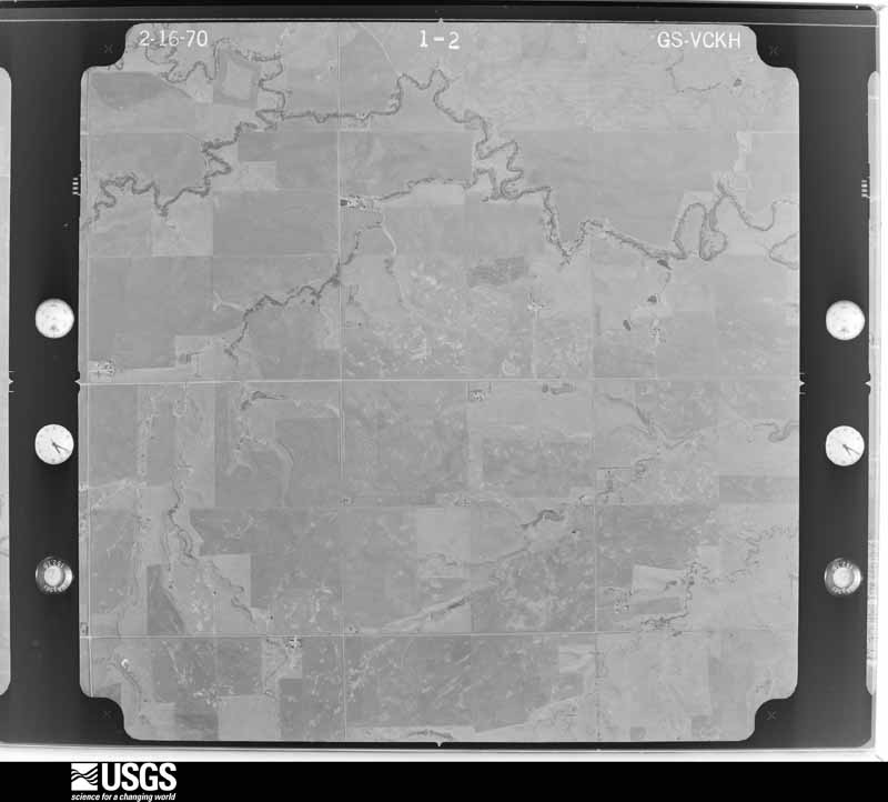
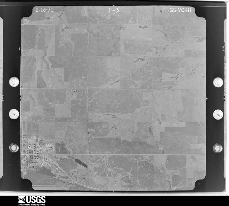
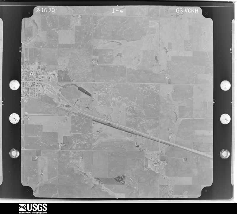
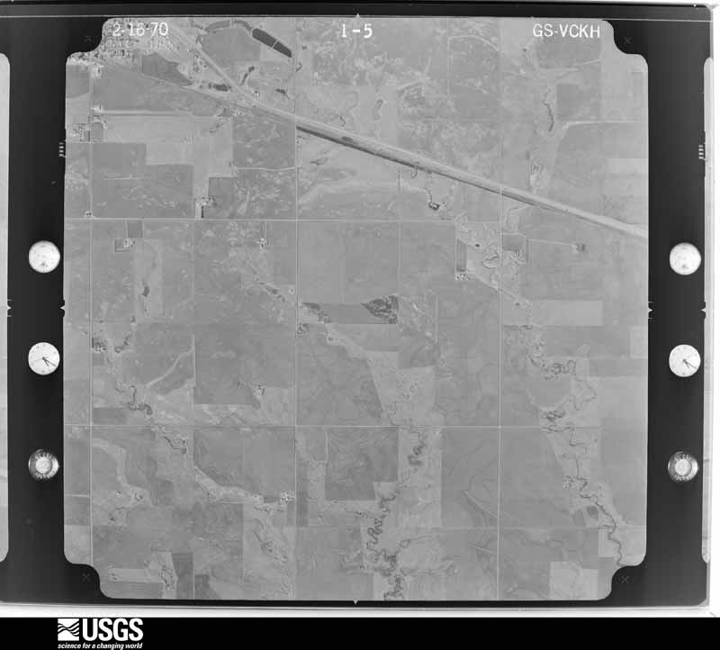

The thermometers that kept this county's weather, and the gages that measured the flow of its streams, as the federal records hold them. The extremes below are measured values from those records, not estimates.
Who lived here in 1950, one enumeration district at a time, as the Census Bureau described each district. Each row opens its official National Archives result, with Population Schedules and ED Maps available there.
Every wildfire the federal occurrence database records inside this county: 8 of them, burning about 4,182 acres. 1 started naturally and none was recorded as arson. Each settlement page carries the fires within five miles of it.
| Reported cause | Fires |
|---|---|
| Missing data/not specified/undetermined | 6 |
| Equipment and vehicle use | 1 |
| Natural | 1 |
The five largest, by the area the report gives. None of them was recorded as arson.
| Date | Cause | Size | Reported by | Name on the report |
|---|---|---|---|---|
| 3 March 2017 | Missing data/not specified/undetermined | 2,412 acres | Oklahoma Division of Forestry | LATIMAR |
| 27 February 2016 | Missing data/not specified/undetermined | 740 acres | Oklahoma Division of Forestry | CASHION |
| 15 September 2000 | Missing data/not specified/undetermined | 500 acres | Oklahoma Division of Forestry | SKELETON |
| 7 January 2006 | Missing data/not specified/undetermined | 300 acres | Oklahoma Division of Forestry | INDIAN SPRINGS |
| 5 March 2006 | Missing data/not specified/undetermined | 120 acres | Concho Field Office | SILO RD |
| 29 March 2014 | Missing data/not specified/undetermined | 103 acres | Oklahoma Division of Forestry | DOVER |
| 29 February 1996 | Equipment and vehicle use | 5.0 acres | Concho Field Office | TIGER |
| 23 July 2017 | Natural | 1.6 acres | Anadarko Agency | POLE |
Every settlement page carries the fires within five miles of it - see the settlement index below.
The NOAA Storm Events Database holds 785 reports for this county, causing 3 deaths, 79 injuries and about $10,312,850 in recorded property damage. Each settlement page carries the reports that name it.
| Kind of event | Reports |
|---|---|
| Hail | 397 |
| Thunderstorm Wind | 268 |
| Tornado | 83 |
| Flash Flood | 26 |
| Lightning | 4 |
| Flood | 3 |
| Funnel Cloud | 2 |
| Heavy Rain | 2 |
The most serious of them, by death, then injury, then recorded damage. The accounts are quoted exactly as the forecast office filed them.
| When | Event | Place named | Harm | What the report says |
|---|---|---|---|---|
| May 1999 | Tornado (F4) | Dover | 1 killed, 11 hurt, $2,500,000 | Tornado E6. See summary at end of May 3rd storm reports. |
| August 2007 | Flash Flood | Kingfisher | 1 killed, $500,000 | Historic flooding impacted the area in and around the city of Kingfisher. Four feet of water was flowing over HWY 33 in Kingfisher. Four to five feet of water was flowing over HWY 81 between Kingfisher and Dover. Several cars were stalled due to water over HWY 81 north of Okarche. An elderly couple had to be rescued by an OHP helicopter after their car was washed off US HWY 81. Both sustained minor injuries. A 52-year old man died as he tried to flee his vehicle after it had been washed off of HWY 33 14 miles west of Kingfisher. Several homes and businesses sustained major flood damage, with others faring slightly better. The First Baptist Church had 20,000 gallons of water in the basement, which included the kitchen. Most appliances sustained damage and most were a total loss. Monetary damages were estimated. |
| July 2004 | Thunderstorm Wind | Kingfisher | 1 killed, $10,000 | An oil derrick was blown over, killing one man who was on the derrick during the thunderstorm. The derrick fell on top of the man. |
| May 2011 | Tornado (EF3) | Cashion | 46 hurt | This tornado is labeled B2 (Segment #2 of Calumet-El Reno-Piedmont-Guthrie tornado). The tornado entered far southeast Kingfisher county before moving into Logan county. However, EF-3 damage occurred just over the Kingfisher county border, debarking trees and significantly damaging buildings. As the tornado continued northeast, the damage was mainly considered EF-2, with damage to mostly outbuildings and trees. The tornado continued into Logan County. Monetary damage estimates were not available. |
| May 1999 | Tornado (F3) | Omega | 4 hurt, $300,000 | Tornado E3. See summary at end of May 3rd storm reports. |
| May 1950 | Tornado (F2) | not stated | 3 hurt, $25,000 | no account filed |
| May 1982 | Tornado (F2) | not stated | 2 hurt, $250,000 | no account filed |
| November 1973 | Tornado (F1) | not stated | 2 hurt, $250,000 | no account filed |
| March 2004 | Flash Flood | Kingfisher | 2 hurt, $65,000 | Storm total precipitation amounts for the March 4-5 event ranged from 3 to 6+ inches over Kingfisher County with a few totals of 7 to 8 inches reported in the southwestern portions of the county. The heavy rains produced flash flooding along Kingfisher Creek west of the city of Kingfisher during the late afternoon hours of March 4. The flash flooding along Kingfisher Creek stranded two motorists on OK State Highway 33 about 3 miles west of Kingfisher, and water rescues of these individuals were performed by the Kingfisher Fire Department and Oklahoma Highway Patrol. The two persons were subsequently treated for injuries including hypothermia. |
| April 1954 | Tornado (F2) | not stated | 2 hurt, $25,000 | no account filed |
| June 1970 | Tornado (F2) | not stated | 2 hurt | no account filed |
| May 1965 | Tornado (F2) | not stated | 2 hurt | no account filed |
| June 1967 | Tornado (F3) | not stated | 1 hurt, $2,500,000 | no account filed |
| July 1995 | Thunderstorm Wind | Nrn Hennessey | 1 hurt, $50,000 | no account filed |
| May 2010 | Tornado (EF1) | Loyal | 1 hurt | The tornado developed just west of Loyal, where an un-anchored trailer home was destroyed and a power pole was downed. The tornado continued east toward the southern edge of Loyal, with tree damage reported in Loyal. The tornado crossed US Highway 81 north of Kingfisher, and a truck was blown off the road with the driver suffering minor injuries. Also near this location, the Department of Transportation salt barn was destroyed five miles north of Kingfisher and sign/fence damage occurred just east of this location. Monetary damage estimates were not available. |
| April 1999 | Hail | Hennessey | $1,000,000 | no account filed |
| June 2005 | Thunderstorm Wind | Hennessey | $250,000 | In Hennessey, a gas station awning was blown down onto the gas pumps. Two power poles were snapped. Several businesses had sign damage. Numerous tree limbs downed. A chain link fence was also downed. A store, just east of town on Highway 51, had major damage. The canopy and roof were blown off. A plate glass window was also broken. Further east of Hennessey to the Kingfisher-Logan county line, widespread tree damage and several barns sustained roof damage. |
| November 1988 | Tornado (F1) | not stated | $250,000 | no account filed |
| May 1983 | Tornado (F3) | not stated | $250,000 | no account filed |
| August 1979 | Tornado (F2) | not stated | $250,000 | no account filed |
| April 1957 | Tornado (F2) | not stated | $250,000 | no account filed |
| May 2001 | Thunderstorm Wind | Kingfisher | $200,000 | Major structural damage was sustained to Chisholm Tech Center. |
| August 2025 | Thunderstorm Wind | Kingfisher | $150,000 | Significant thunderstorm wind damage occurred in the vicinity of Lake Elmer in Kingfisher County. A large outbuilding was destroyed, several homes received varying degrees of roof damage and an RV was rolled. Multiple sources confirmed this damage, with broadcast media relaying several images. The location is approximate, and the event time is estimated from radar observations. |
| May 2003 | Hail | Hennessey | $75,000 | Hail damage was sustained by many residents along and a couple miles north of Highway 51. Several homes had holes in siding and many broken windows. Many vehicles were also damaged. A few horses received deep lacerations due to the large hail after the strong winds which also accompanied the hail caused a large tin barn wall to collapse. Many wheat and rye fields were reported to have damaged crops. |
| May 1999 | Tornado (F3) | Kingfisher | $50,000 | Tornado G2 (Kingfisher County portion). See summary at end of May 3rd storm reports. |
| July 1997 | Lightning | Hennessey | $50,000 | Lightning struck and set fire to a lawnmower repair shop, completely destroying the shop and two vehicles. |
| August 1994 | Tornado (F1) | not stated | $50,000 | no account filed |
| March 1993 | Thunderstorm Wind | Dover | $50,000 | no account filed |
| April 1999 | Thunderstorm Wind | Kingfisher | $45,000 | no account filed |
| July 2006 | Thunderstorm Wind | Hennessey | $40,000 | A barn was destroyed. Two horses were killed due to the flying debris of the barn. The debris was observed along a path north of the barn up to 1.5 miles away. |
| August 2002 | Thunderstorm Wind | Hennessey | $40,000 | A roof was blown off a 180 ft. x 40 ft. building, and four power poles were downed. |
| May 1999 | Thunderstorm Wind | Kingfisher | $40,000 | Severe winds produced a 9 mile long, intermittent damage path on the west and northwest sides of Kingfisher. One mobile home was destroyed, while 2 others were moved about 30 yards from their foundation. One shed was blown over; dozens of trees and utility poles were downed, and one cow was killed. This event is an addition to the original version of May Storm Data. |
| May 1998 | Thunderstorm Wind | Lacey | $40,000 | no account filed |
| August 1996 | Thunderstorm Wind | Omega | $34,000 | no account filed |
| May 1999 | Tornado (F2) | Hennessey | $30,000 | Tornado H3. See summary at end of May 3rd storm reports. |
| March 1997 | Thunderstorm Wind | Hennessey | $30,000 | Severe winds from a collapsing thunderstorm toppled a stationary tractor-trailer rig. Damage to the truck was estimated at $30,000. |
| October 1998 | Tornado (F1) | Dover | $30,000 | no account filed |
| November 2024 | Thunderstorm Wind | Hennessey | $25,000 | Images relayed by the Oklahoma Department of Emergency Management show thunderstorm wind damage at two farmsteads along North 2970 Road in far northeastern Kingfisher County. Damage included the roof of a barn blown off, bay doors blown out, large farm equipment overturned and large tree branches blown down. Event time is radar-estimated. |
| August 2005 | Lightning | Hennessey | $25,000 | Lightning struck a double-wide mobile home causing a fire. By the time the fire department arrived, the mobile home was fully engulfed. The mobile-home was located 6 miles west and 1.25 miles south of Hennessey. |
| June 1999 | Flash Flood | Countywide | $25,000 | no account filed |
| May 1983 | Tornado (F1) | not stated | $25,000 | no account filed |
| May 1983 | Tornado (F1) | not stated | $25,000 | no account filed |
| May 1982 | Tornado (F1) | not stated | $25,000 | no account filed |
| July 1963 | Tornado (F1) | not stated | $25,000 | no account filed |
| October 1963 | Tornado (F2) | not stated | $25,000 | no account filed |
| May 1961 | Tornado (F1) | not stated | $25,000 | no account filed |
| May 2023 | Flash Flood | Kingfisher | $20,000 | Report of stalled vehicles in flood-prone areas around Kingfisher. |
| April 2017 | Thunderstorm Wind | Kingfisher | $20,000 | Several highway signs were blown down along US highway 81. One mile east on a section road, 15 power poles snapped off 15-20 feet above the ground. A barn was destroyed just east of the power poles, and roof damage occurred to a house near the snapped power poles. |
| May 2008 | Thunderstorm Wind | Kingfisher | $20,000 | Winds estimated at 65 to 70 mph blew through and around the Kingfisher area. Numerous tree limbs and power lines were blown down. The electricity in the town of Kingfisher was knocked out. Roof damage was also reported five miles northwest of Kingfisher. Monetary damages were estimated. |
| March 2004 | Thunderstorm Wind | Kingfisher | $20,000 | Winds downed fences and damaged an outbuilding on the southwest edge of town. |
| May 1999 | Hail | Dover | $20,000 | Large hail, ranging from golf ball size (1.75 inches) to baseball size (2.75 inches), damaged the sides and roofs of buildings and broke numerous windows on the southeast side of Dover. This event is an addition to the original version of May Storm Data. |
| May 2024 | Tornado (EF1) | Lacey | $15,000 | This tornado developed in Blaine County and moved into Kingfisher County about a mile and a half south of State Highway 51. Power poles were broken and trees were damaged along the path as it moved east and then northeast to the west of Lacey. One outbuilding received roof damage as the tornado crossed State Highway 51 to the west of Lacey. The tornado dissipated soon after crossing SH-51. |
| August 2009 | Thunderstorm Wind | Kingfisher | $15,000 | A roof was blown off of a house. Monetary damages were estimated. |
| July 2007 | Flash Flood | Kingfisher | $15,000 | US Highway 81 through Kingfisher was closed due to flooding. Cars stalled out or were partially underwater near Highway 81 in downtown Kingfisher. The Dollar General store was flooded. State Highway 33, just east and west of US Highway 81, was also closed due to high water. Most of the roadways had water at least curb high, if not deeper across town. Monetary values were estimated. A rain guage two miles northeast of Kingfisher reported 3.17 inches of rainfall fell in an hour between 1315 and 1415 CST. |
| May 1999 | Thunderstorm Wind | Dover | $15,000 | Severe thunderstorm winds, estimated to be near 100 mph, caused widespread property damage on the southeast side of Dover. The walls of a cinder-block building and garage collapsed, and numerous trees were uprooted. This event is an addition to the original version of May Storm Data. |
| May 2024 | Thunderstorm Wind | Lacey | $10,000 | Two large power poles snapped, blocking portions of Oklahoma Highway 132 near the County Road 610 intersection. Time is radar estimated. |
| July 2023 | Flash Flood | Kingfisher | $10,000 | US Highway 81 was closed at the intersection of State Highway 3 and 33 in the community of Kingfisher. In addition, broadcast media video showed a car stalled in floodwaters near this intersection. |
| August 2017 | Thunderstorm Wind | Loyal | $10,000 | Large aluminum shed destroyed. |
| June 2007 | Thunderstorm Wind | Kingfisher | $10,000 | Power flashes were seen around town. An awning was blown down at the Main Street Truck Stop. Part of the siding was blown off of M&S Detail. Monetary damages were estimated. |
| August 2006 | Thunderstorm Wind | Kingfisher | $10,000 | A wood shed was blown over. An anchored travel trailer was also blown off its center. Several tree limbs were downed. |
The Survey's mineral resources record lists 44 workings inside this county. 8 still produce and 36 are closed or unrecorded. Each settlement page carries the workings within five miles of it.
| Commodity | Workings |
|---|---|
| Clay | 22 |
| Sand and Gravel, Construction | 21 |
| Gypsum-Anhydrite | 1 |
The least common of them first, because a county's hundredth gravel pit says nothing its first ten did not.
| Where | Site | Commodity | Status | Recorded |
|---|---|---|---|---|
| Canadian County Gypsum Pit | Gypsum-Anhydrite | Producer | ||
| Dolese Gravel Pit | Sand and Gravel, Construction | Producer | ||
| Dolese Sand Pit | Sand and Gravel, Construction | Producer | ||
| Dover Dredge & Plant | Sand and Gravel, Construction | Producer | ||
| Hennessey Pit | Sand and Gravel, Construction | Producer | ||
| Unknown Gravel Pit | Sand and Gravel, Construction | Past Producer | ||
| Unknown Gravel Pit | Sand and Gravel, Construction | Past Producer | ||
| Unknown Gravel Pit | Sand and Gravel, Construction | Past Producer | ||
| Unknown Gravel Pit | Sand and Gravel, Construction | Past Producer | ||
| Unknown Gravel Pit | Sand and Gravel, Construction | Past Producer | ||
| Unknown Gravel Pit | Sand and Gravel, Construction | Past Producer | ||
| Unknown Gravel Pit | Sand and Gravel, Construction | Past Producer | ||
| Unknown Gravel Pit | Sand and Gravel, Construction | Past Producer | ||
| Unknown Gravel Pit | Sand and Gravel, Construction | Past Producer | ||
| Unknown Gravel Pit | Sand and Gravel, Construction | Past Producer | ||
| Unknown Gravel Pit | Sand and Gravel, Construction | Past Producer | ||
| Unknown Gravel Pit | Sand and Gravel, Construction | Past Producer | ||
| Unknown Gravel Pit | Sand and Gravel, Construction | Past Producer | ||
| Unknown Gravel Pit | Sand and Gravel, Construction | Past Producer | ||
| Unknown Gravel Pit | Sand and Gravel, Construction | Past Producer | ||
| Unknown Gravel Pit | Sand and Gravel, Construction | Past Producer | ||
| Unknown Sand Pit | Sand and Gravel, Construction | Past Producer | ||
| County Shale Pit | Clay | Producer | ||
| Moery Pit | Clay | Producer | ||
| Unknown Shale Pit | Clay | Past Producer | ||
| Unknown Shale Pit | Clay | Past Producer | ||
| Unknown Shale Pit | Clay | Past Producer | ||
| Unknown Shale Pit | Clay | Past Producer | ||
| Unknown Shale Pit | Clay | Past Producer | ||
| Unknown Shale Pit | Clay | Past Producer | ||
| Unknown Shale Pit | Clay | Past Producer | ||
| Unknown Shale Pit | Clay | Past Producer | ||
| Unknown Shale Pit | Clay | Past Producer | ||
| Unknown Shale Pit | Clay | Past Producer | ||
| Unknown Shale Pit | Clay | Past Producer | ||
| Unknown Shale Pit | Clay | Past Producer | ||
| Unknown Shale Pit | Clay | Past Producer | ||
| Unknown Shale Pit | Clay | Past Producer | ||
| Unknown Shale Pit | Clay | Past Producer | ||
| Unknown Shale Pit | Clay | Past Producer | ||
| Unknown Shale Pit | Clay | Past Producer | ||
| Unknown Shale Pit | Clay | Past Producer | ||
| Whittenburg Pit | Clay | Producer | ||
| Whittenburg Shale Pit | Clay | Past Producer |
Named settlements recorded in the Geographic Names Information System, each with the topographic sheets covering it. Villages, hamlets and abandoned places alike. Each is shown with the nearest named watercourse or landform and the survey quadrangle it falls on. The 4 places that were also surveyed for fire insurance come first, with the number of atlases and photographs held for them.
Okarche-Cashion census division · 73016 · Cashion quadrangle
13 sheets, 1892 to 1990
Fire insurance: 3 atlases
Kingfisher census division · 73734 · Dover quadrangle
12 sheets, 1892 to 1990
Fire insurance: 8 atlases
Hennessey census division · 73742 · Hennessey quadrangle
11 sheets, 1893 to 1990
Fire insurance: 9 atlases
Kingfisher census division · 73750 · On Uncle Johns Creek · Kingfisher quadrangle
13 sheets, 1892 to 1990
Fire insurance: 9 atlases
The vanished settlements of Kingfisher County: the places named above that are no longer on the map.
11 topographic sheets and 9 fire insurance atlases, 1894 to 1934
13 topographic sheets and 9 fire insurance atlases, 1894 to 1937
12 topographic sheets and 8 fire insurance atlases, 1894 to 1916
13 topographic sheets and 3 fire insurance atlases, 1915 to 1929