 Block
Lacey, Oklahoma
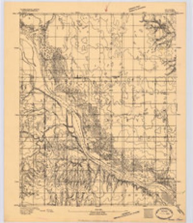
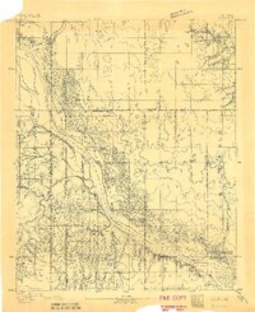
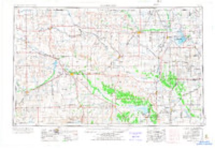
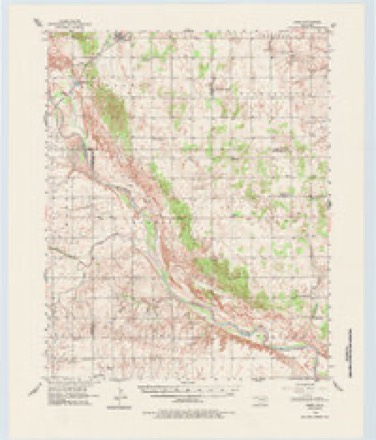
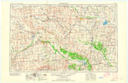
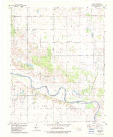
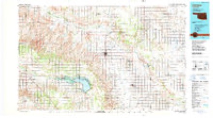
12 topographic sheets cover this place, the earliest surveyed in 1893 and the latest in 1986. It stands in the Hennessey census division. It lies in ZIP code area 73742. The Survey maps it on the Lacey quadrangle.
Topographic sheets covering this place
7 surveys from 12 printed sheetsMatched by testing this settlement's coordinate against the published boundary of every sheet in the United States Geological Survey's historical collection. Each opens the scanned sheet at the Survey.
- 1893 USGS Ames quadrangle1:62500
- 1893 USGS Lacey quadrangle1:62500
- 1955 USGS Woodward quadrangle1:250000, 3 printings
- 1956 USGS Ames quadrangle1:62500, 2 printings
- 1958 USGS Woodward quadrangle1:250000, 2 printings
- 1982 USGS Lacey quadrangle1:24000
- 1986 USGS Fairview quadrangle1:100000, 2 printings
Mines and quarries near this place
1 within 5 milesRegional context, not property-specific evidence. The federal mineral resources record lists 1 working within 5 miles of Lacey: 1 past producer. None of them still produces. What was taken out: Sand and Gravel, Construction. Distance is straight-line from the map coordinates, so a quarry counted here may appear on a neighbouring settlement's page as well.
| Where | Site | Commodity | Status | Recorded |
|---|---|---|---|---|
| Unknown Sand Pit | Sand and Gravel, Construction | Past Producer |
Storms near this place
19 since 1994Regional context, not property-specific evidence. The National Weather Service names Lacey in 19 storm reports between 1994 and 2025: 12 hail, 3 thunderstorm wind, 3 tornado, 1 funnel cloud. No death or injury is recorded in these reports. Each account below is quoted exactly as the forecast office filed it, from the NOAA Storm Events Database, and each date opens the federal record of that event.
| When | Event | Place named | Harm | What the report says |
|---|---|---|---|---|
| May 1998 | Thunderstorm Wind | Lacey | $40,000 | no account filed |
| May 2024 | Tornado (EF1) | Lacey | $15,000 | This tornado developed in Blaine County and moved into Kingfisher County about a mile and a half south of State Highway 51. Power poles were broken and trees were damaged along the path as it moved east and then northeast to the west of Lacey. One outbuilding received roof damage as the tornado crossed State Highway 51 to the west of Lacey. The tornado dissipated soon after crossing SH-51. |
| May 2024 | Thunderstorm Wind | Lacey | $10,000 | Two large power poles snapped, blocking portions of Oklahoma Highway 132 near the County Road 610 intersection. Time is radar estimated. |
| April 1999 | Hail | Lacey | $2,000 | no account filed |
| April 2025 | Hail | Lacey | - | The report was relayed through mPING. |
| May 2024 | Thunderstorm Wind | Lacey | - | A barn destroyed near the intersection of East 590 Road and North 2730 Road. Relayed by emergency management. Time is radar estimated. |
| May 2012 | Hail | Lacey | - | No damage was reported. |
| May 2008 | Tornado (EF2) | Lacey | - | The tornado developed and crossed Highway 132, doing minor damage to grain silos. The tornado continue NE towards an abandoned farm. The roof of the house was removed and windows were broken. A large tree was uprooted at the farm and most of the trees had snapped trunks. After hitting the farm, the tornado crossed county road EW060 and snapped power poles. The tornado continued northeast, doing damage to tree limbs and flattening wheat near county road NS281. Monetary damages were not available. |
| May 2008 | Tornado (EF1) | Lacey | - | The tornado touched down in an open field before damaging farm buildings at the Seaboard Foods Pig Farm. The tornado continued east-southeast, damaging some trees and a trailer before lifting. Monetary damages were not available. |
| August 2006 | Funnel Cloud | Lacey | - | A funnel cloud was observed by several spotters, media personnel, and law enforcement personnel. |
| May 2003 | Hail | Lacey | - | no account filed |
| May 2000 | Hail | Lacey | - | no account filed |
| May 2000 | Hail | Lacey | - | no account filed |
| May 2000 | Hail | Lacey | - | no account filed |
| June 1999 | Hail | Lacey | - | no account filed |
| June 1999 | Hail | Lacey | - | no account filed |
| October 1999 | Hail | Lacey | - | no account filed |
| April 1999 | Hail | Lacey | - | no account filed |
| October 1994 | Hail | Lacey | - | no account filed |
Nearest settlements
The eight closest, with where each one stands in the county. Distances are straight-line, computed from the Geographic Names Information System coordinates.
Provenance
This settlement is recorded in the Geographic Names Information System as feature 1100558. The sheet list is computed by point-in-boundary test against the United States Geological Survey's historical topographic inventory. Both are works of the United States government and carry no copyright under 17 U.S.C. 105.
Mines and quarries. USGS Mineral Resources Data System (MRDS) https://mrdata.usgs.gov/mrds/ A work of the United States government, no copyright under 17 U.S.C. 105.
Storms. NOAA National Centers for Environmental Information, Storm Events Database https://www.ncei.noaa.gov/stormevents/ A work of the United States government, no copyright under 17 U.S.C. 105. Narratives are quoted verbatim from the National Weather Service report and are not edited or summarised.