 Block
From the record
2 National Register listings published here.
Sources: the National Register database, National Park Service
27 topographic sheets and 15 fire insurance atlases across 3 places.
2 National Register listings published here.
Sources: the National Register database, National Park Service
Every property in this county listed on the National Register of Historic Places, with the year it was listed and the federal nomination document.
| Photograph | Property | Type | Listed | Reference |
|---|---|---|---|---|
| First United Methodist Church | building | 2010 | 10000624 | |
| Major County Courthouse | building | 1984 | 84003153 |
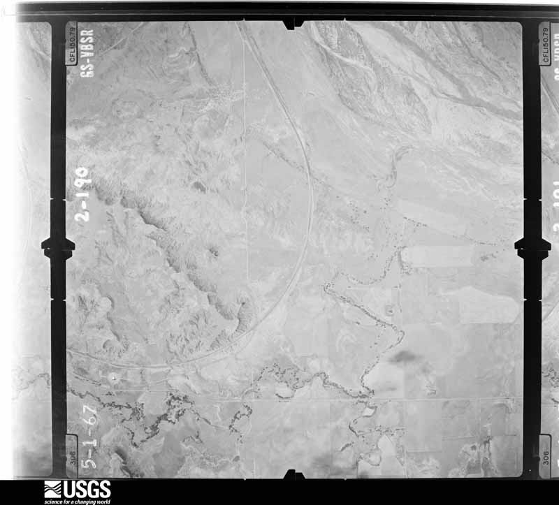
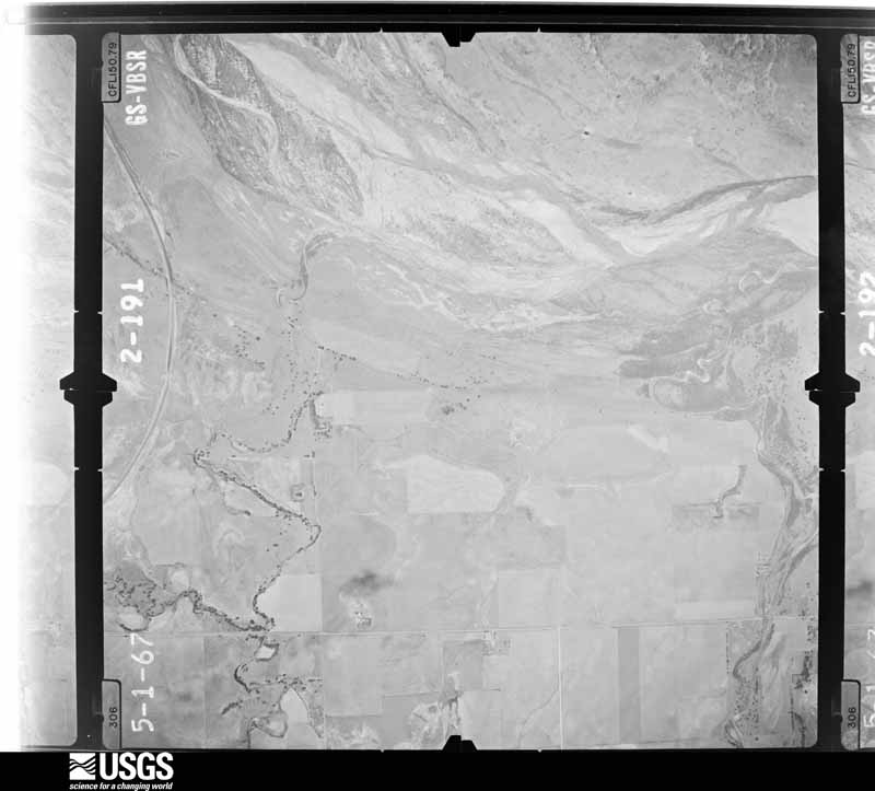
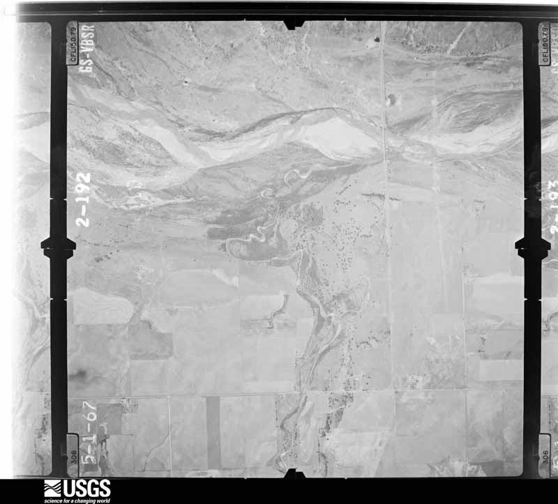
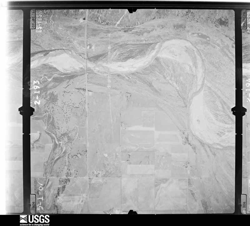
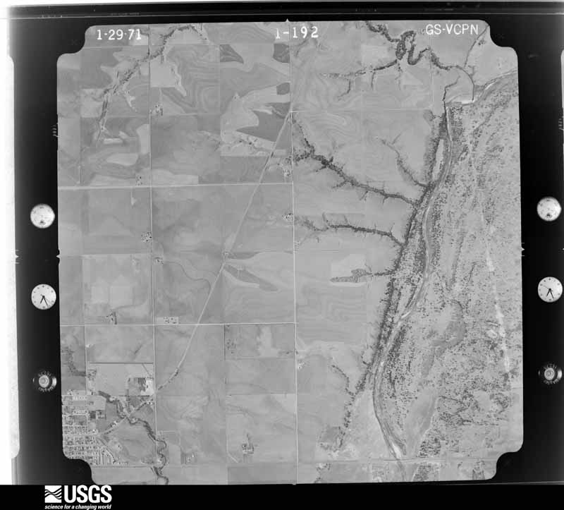
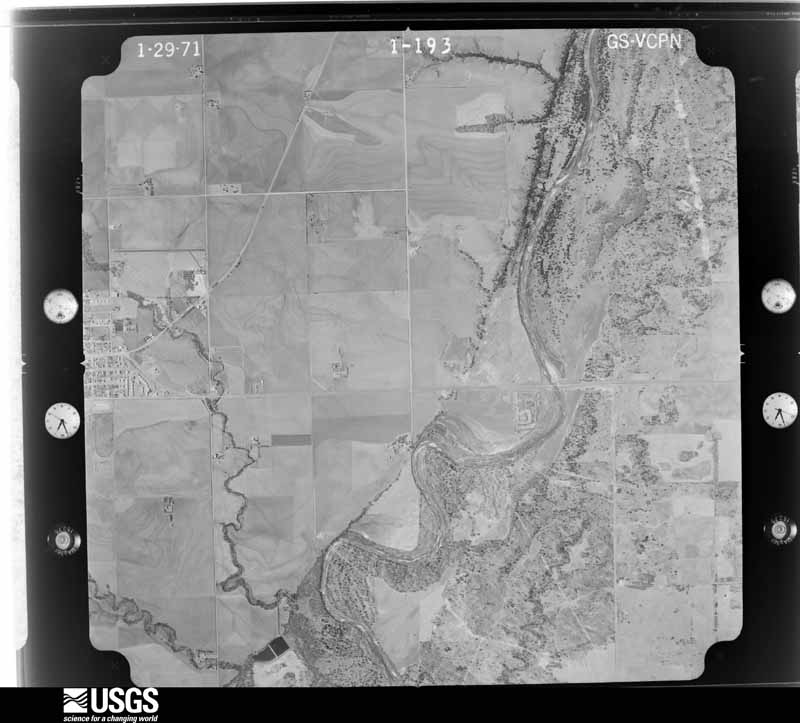
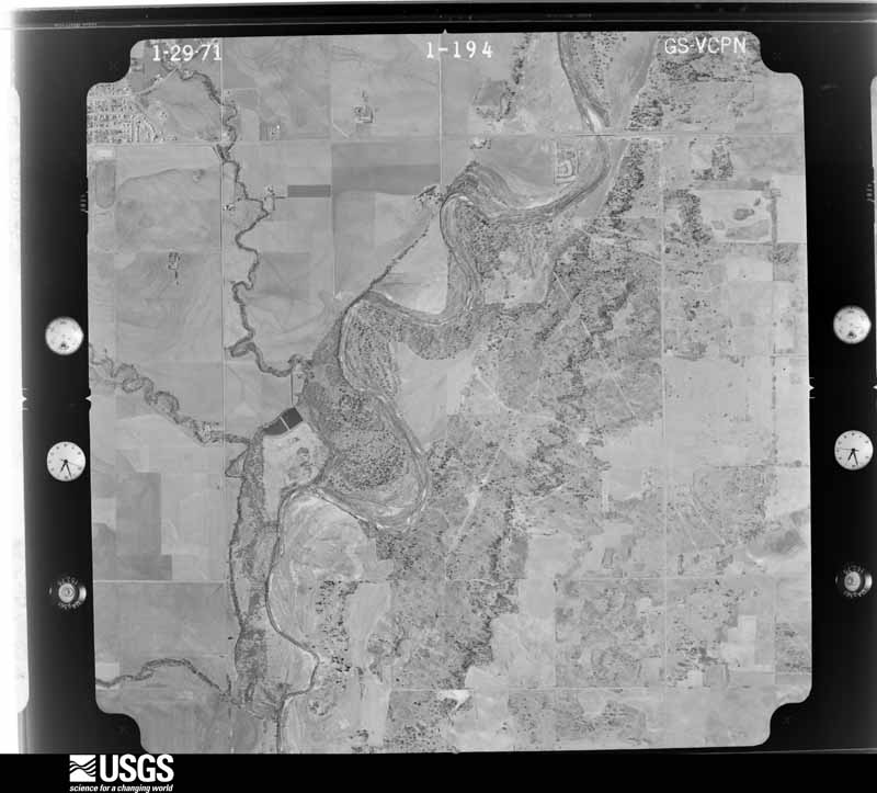
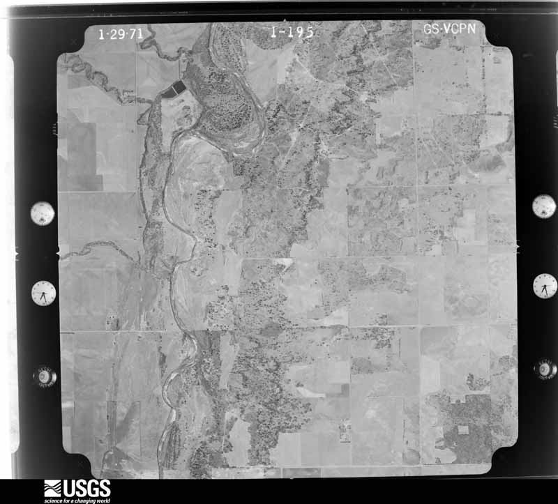
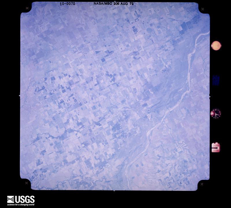
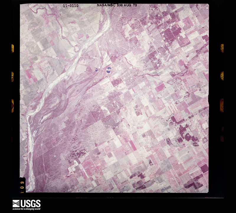
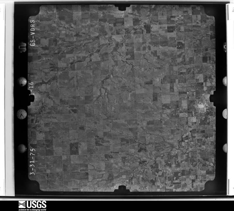
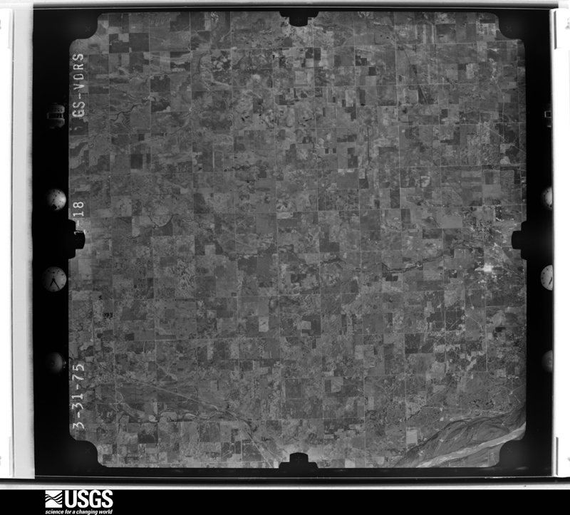
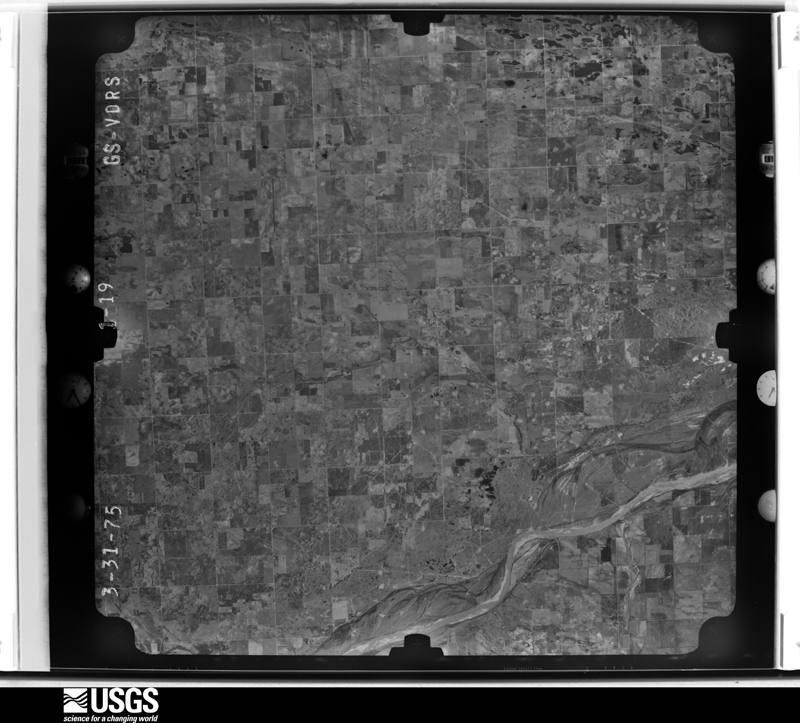
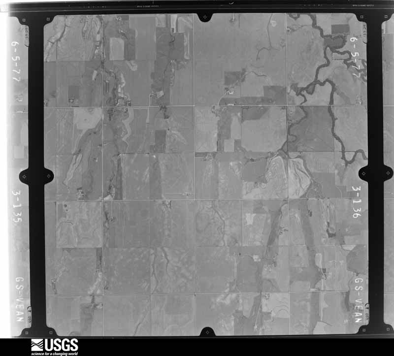
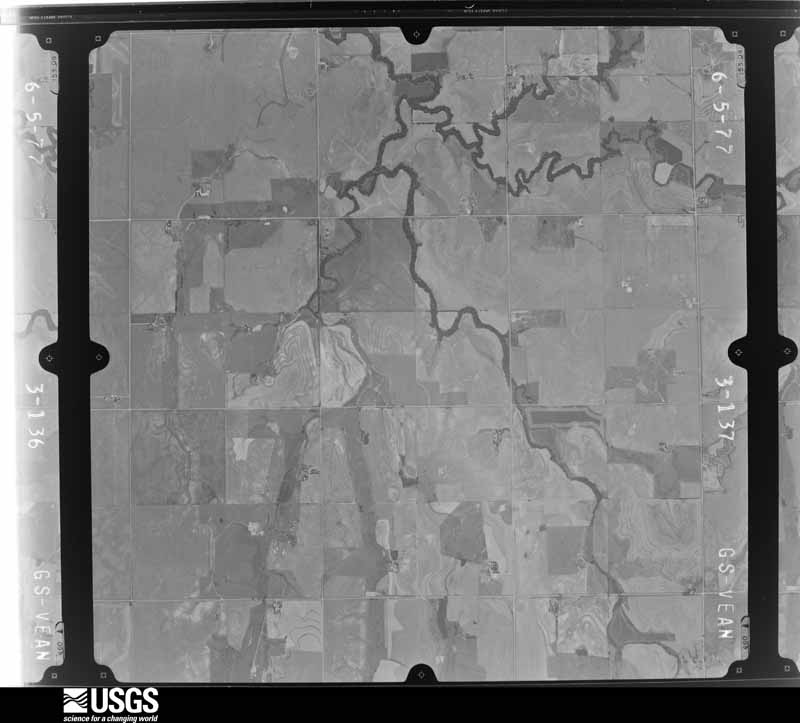
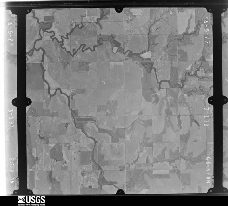
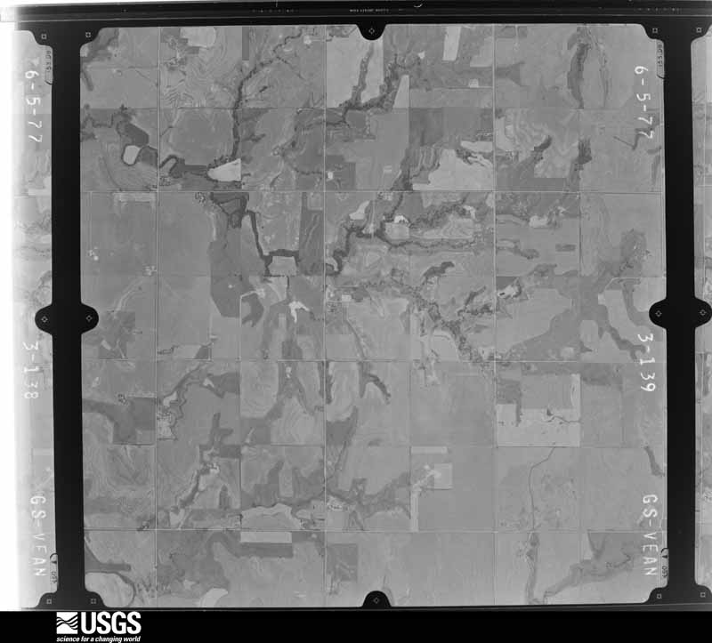
Flown by the U.S. Geological Survey between 1937 and 1989, the Aerial Photo Single Frames collection is the definitive mid-century view of the land: fields, roads and rivers as the camera saw them. The Survey holds 1,029 frames inside the rectangle that bounds this county; the 28 frames below were taken over the county itself, chosen across the decades of flights (at most four a year from that rectangle), so one flight cannot crowd out the rest. The full set is free to browse and download at EarthExplorer under the dataset Aerial Photo Single Frames.
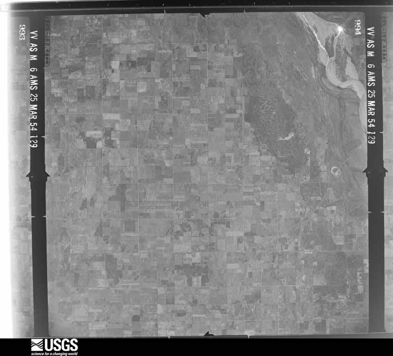
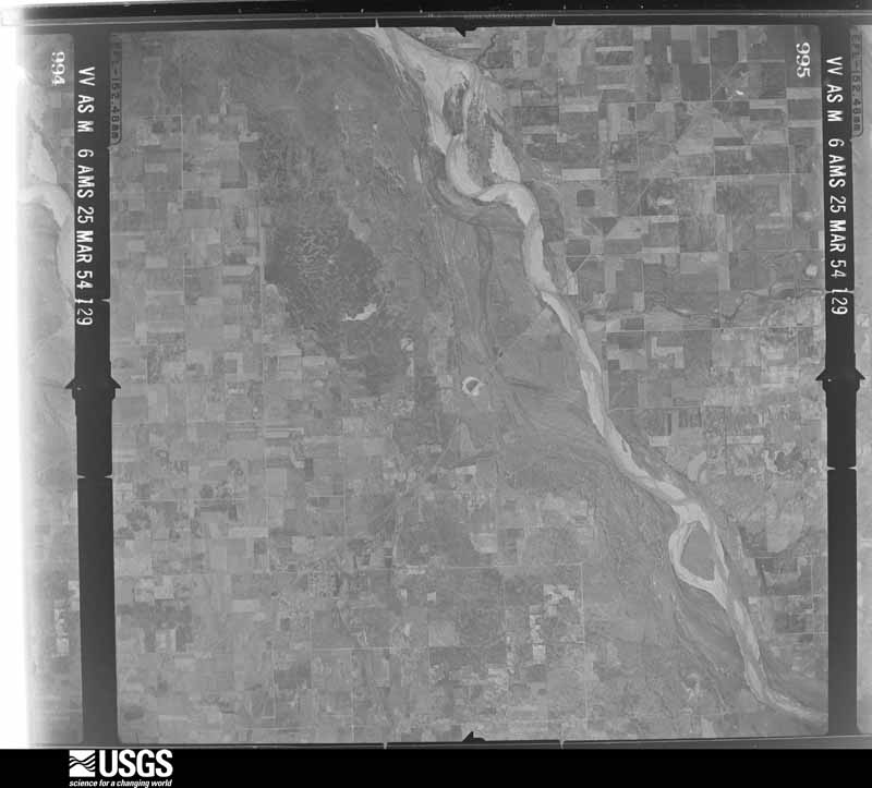
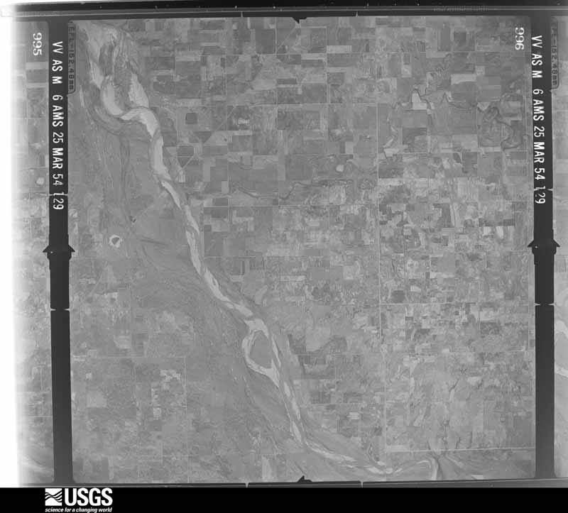
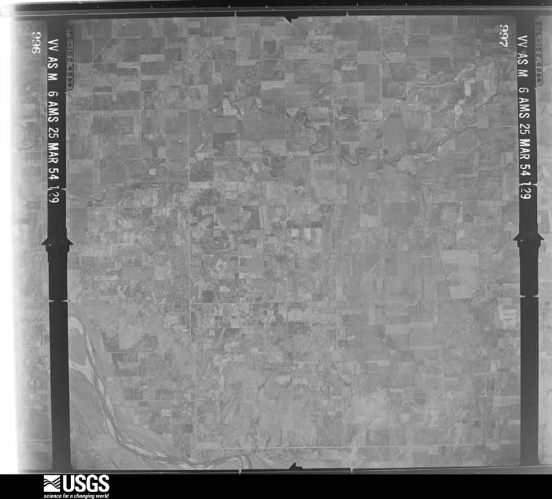
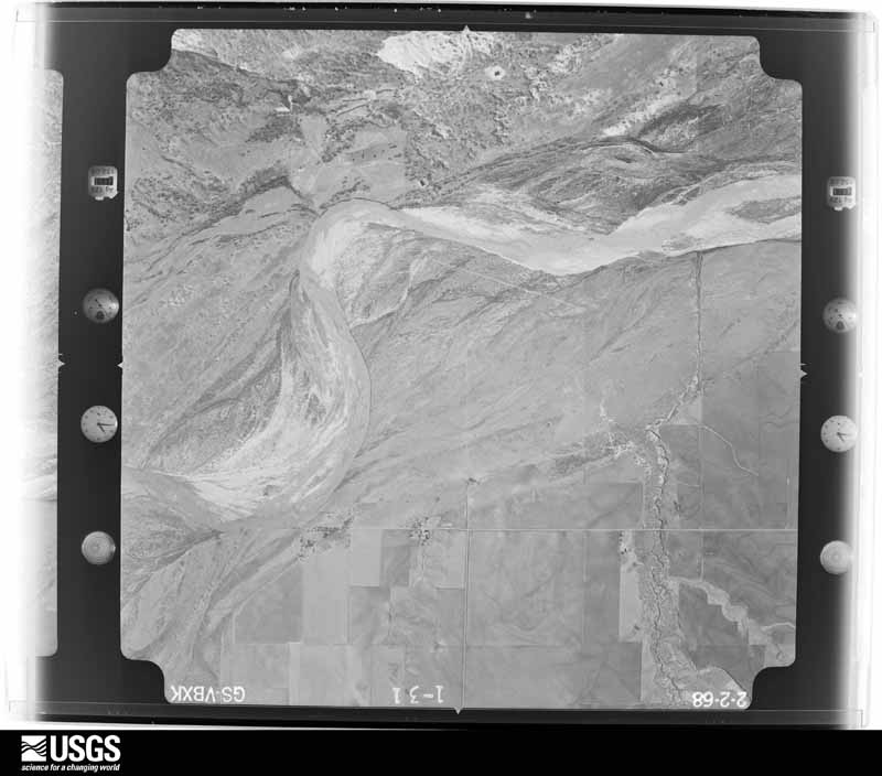
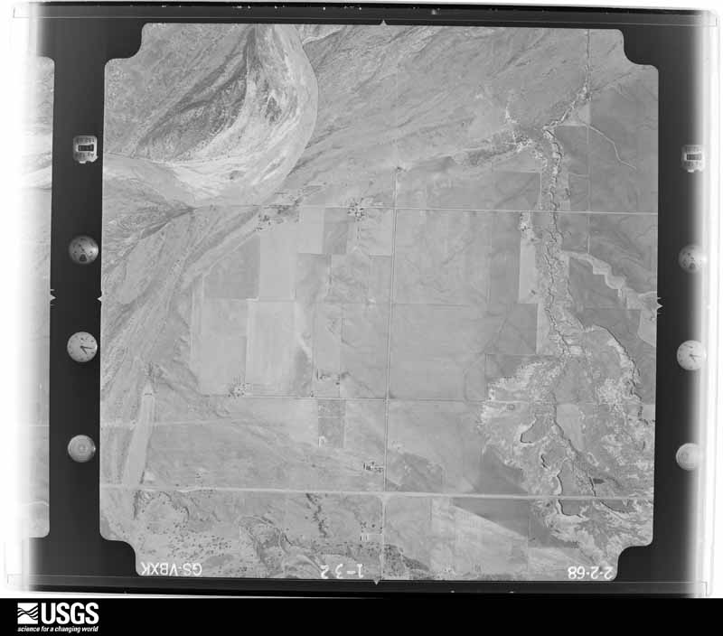
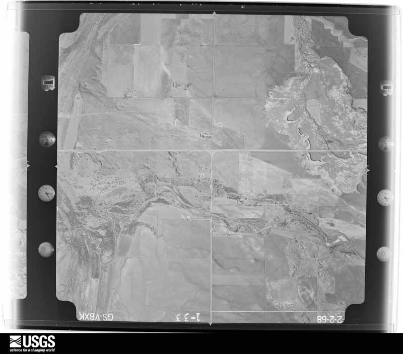
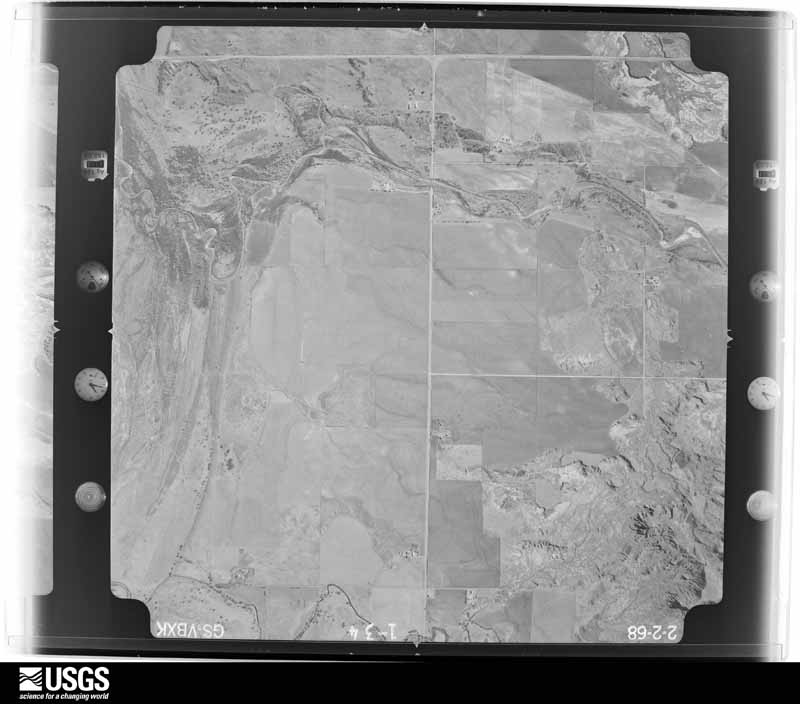



The thermometers that kept this county's weather, and the gages that measured the flow of its streams, as the federal records hold them. The extremes below are measured values from those records, not estimates.
Who lived here in 1950, one enumeration district at a time, as the Census Bureau described each district. Each row opens its official National Archives result, with Population Schedules and ED Maps available there.
Every wildfire the federal occurrence database records inside this county: 7 of them, burning about 60,119 acres. None started naturally and none was recorded as arson. Each settlement page carries the fires within five miles of it.
| Reported cause | Fires |
|---|---|
| Missing data/not specified/undetermined | 3 |
| Equipment and vehicle use | 3 |
| Power generation/transmission/distribution | 1 |
The five largest, by the area the report gives. None of them was recorded as arson.
| Date | Cause | Size | Reported by | Name on the report |
|---|---|---|---|---|
| 10 July 2009 | Missing data/not specified/undetermined | 41,497 acres | Oklahoma Division of Forestry | CHESTER |
| 4 April 2009 | Missing data/not specified/undetermined | 11,520 acres | Oklahoma Division of Forestry | CLEO FIRE |
| 10 June 2020 | Power generation/transmission/distribution | 6,042 acres | Oklahoma Division of Forestry | YOLO RANCH FIRE |
| 10 June 2020 | Equipment and vehicle use | 388 acres | Oklahoma Division of Forestry | AMES FIRE |
| 13 June 2020 | Equipment and vehicle use | 319 acres | Oklahoma Division of Forestry | SHEEP FIRE |
| 14 October 2017 | Missing data/not specified/undetermined | 200 acres | Oklahoma Division of Forestry | 227,55 ROAD |
| 15 June 2020 | Equipment and vehicle use | 153 acres | Oklahoma Division of Forestry | SCHAEFER FIRE |
Every settlement page carries the fires within five miles of it - see the settlement index below.
The NOAA Storm Events Database holds 595 reports for this county, causing 4 deaths, 18 injuries and about $5,023,660 in recorded property damage. Each settlement page carries the reports that name it.
| Kind of event | Reports |
|---|---|
| Hail | 327 |
| Thunderstorm Wind | 189 |
| Tornado | 54 |
| Flash Flood | 16 |
| Flood | 3 |
| Heavy Rain | 3 |
| Lightning | 2 |
| Funnel Cloud | 1 |
The most serious of them, by death, then injury, then recorded damage. The accounts are quoted exactly as the forecast office filed them.
| When | Event | Place named | Harm | What the report says |
|---|---|---|---|---|
| March 2026 | Tornado (EF2) | Dane | 2 killed, $50,000 | This tornado developed near or just southwest of the intersection of County Roads E0560 Road and N2430 Road in Major County where it damaged trees and power poles and twisted a stop sign. The tornado quickly intensified as it approached US-60 west of Fairview. A car along US-60 was hit by this tornado and rolled approximately 520 yards to the northeast. A woman and her daughter were killed in his car. Wooden transmission line poles and standard wooden power poles were broken along and north of US-60. The tornado continued northeast through rural areas of Major County damaging additional trees before dissipating east or southeast of the intersection of E0500 Road and N2460 Road approximately 7 miles west of Fairview. |
| May 1979 | Tornado (F4) | not stated | 1 killed, 15 hurt, $2,500,000 | no account filed |
| May 2011 | Tornado (EF3) | Dane | 1 killed | This tornado is labeled A1 (Segment #3 of the Canton Lake tornado). The large, violent tornado continued north into Major county. The tornado hit homesteads and barns, severely damaging most structures, and splintering trees and power poles. One of the farmsteads received on the upper end of EF-3 damage, with the house completely collapsing and the trees on the property debarked and snapped. The tornado continued near Cedar Springs, damaging the church roof, and severely damaging a mobile home and several buildings at a farmstead. The tornado finally lifted southwest of Fairview. Monetary damage estimates were not available. |
| April 1951 | Tornado (F1) | not stated | 2 hurt, $2,500 | no account filed |
| August 1991 | Thunderstorm Wind | not stated | 1 hurt | no account filed |
| September 2008 | Flash Flood | Fairview | $400,000 | At least 100 homes were damaged due to flooding. Numerous streets were also closed due to the very high water. Monetary damages were estimated. |
| October 1984 | Tornado (F2) | not stated | $250,000 | no account filed |
| October 1984 | Tornado (F3) | not stated | $250,000 | no account filed |
| May 1979 | Tornado (F2) | not stated | $250,000 | no account filed |
| April 1956 | Tornado (F2) | not stated | $250,000 | no account filed |
| June 1951 | Tornado (F1) | not stated | $250,000 | no account filed |
| June 2008 | Thunderstorm Wind | Fairview | $60,000 | Widespread wind damage was reported in and around Fairview. Seventeen utility poles were blown down. The press box at the high school was blown down and destroyed. Several windows at an automobile dealership were broken. Roof damage was reported at several other businesses. At the Fairview Sooner Co-Op, two silos were destroyed, ruining the 7,000 bushels of grain inside. Monetary damages were estimated. |
| March 2026 | Tornado (EF1) | Orienta | $50,000 | This tornado developed just south of US-412 and west of N2520 Road. Along US-412, one home along suffered roof damage, two outbuildings and power poles were damaged. As it moved northeast, additional trees and power poles were damaged before the tornado crossed the Cimarron River. Another home suffered minor damage near the end of the tornado path near E0400 Road about 2 miles west of State Highway 8. |
| June 2005 | Thunderstorm Wind | Ringwood | $50,000 | Ten to twelve inch diameter trees were uprooted. Awnings were blown down. Shingles were also blown off roofs. A brick wall of a car wash collapsed on a car. |
| May 2001 | Thunderstorm Wind | Fairview | $50,000 | A grain silo was destroyed, and numerous trees were downed at Fairview Lakeside Country Club. |
| July 1997 | Flash Flood | Eastern Half | $50,000 | The eastern half of Major County suffered extensive damage to roads and bridges due to flash flooding. County officials estimated the county's losses at $50,000. |
| May 1998 | Thunderstorm Wind | Chester | $50,000 | no account filed |
| June 2005 | Thunderstorm Wind | Ringwood | $40,000 | A mobile home was rolled onto Highway 58. |
| June 2003 | Lightning | Ames | $40,000 | Lightning caused a house fire causing smoke damage throughout the house, destroying the kitchen, and severely damaging the roof. |
| May 2000 | Thunderstorm Wind | Fairview | $40,000 | A large swath of damaging straight-line winds also accompanied the Major County tornado along and east of the its path. In addition to more tree damage, an irrigation system was damaged 4 miles southeast of Fairview; a grain storage bin and barn were blown over, and numerous bales of hay were blown eastward. At times the damage area was several miles wide. |
| June 2005 | Thunderstorm Wind | Isabella | $30,000 | A two car garage was destroyed on the east side of town. |
| September 2001 | Tornado (F1) | Ringwood | $30,000 | This tornado was confirmed by a National Weather Service damage survey. At Ringwood High School, the football field pressbox was completely destroyed with debris blown eastward. In addition, an 80 foot lightpole was downed, and large trees sustained limb damage. About one-quarter of a mile east of the football field, the front porch of a house was blown off its foundation, while minor shingle damage was sustained to the southeast corner of the house. |
| March 2026 | Thunderstorm Wind | Chester | $25,000 | A tractor-trailer was blown over along U.S. Highway 281. The location is approximate, and the event time is estimated based on radar observations. |
| March 2008 | Thunderstorm Wind | Ames | $25,000 | Ten power poles were downed by strong winds. Monetary damages were estimated. |
| May 2000 | Tornado (F1) | Fairview | $25,000 | This tornado formed about 10 miles west-southwest of Fairview in Major County and tracked northeastward mainly over farmland before dissipating. Although most of the damage was sustained to trees, which alone warranted an F1 rating, a house was partially unroofed 2 miles southwest of Cedar Springs, while a travel trailer and barn were destroyed. |
| May 1999 | Thunderstorm Wind | Orienta | $25,000 | no account filed |
| April 1991 | Tornado (F2) | not stated | $25,000 | no account filed |
| May 1982 | Tornado (F1) | not stated | $25,000 | no account filed |
| May 1977 | Tornado (F1) | not stated | $25,000 | no account filed |
| May 1961 | Tornado (F2) | not stated | $25,000 | no account filed |
| September 2007 | Flash Flood | Fairview | $15,000 | Nearly six inches of rain in just a couple of hours resulted in rapidly rising water in Fairview. Several homes sustained damage as water entered. Several streets around town had to be closed due to water running over top of them. The county sheriff also reported two cars washed off the roadway due to the high water near Ames. . Monetary damages were estimated. |
| June 2018 | Flash Flood | Fairview | $10,000 | Water entered one home in Fairview and approached other homes. |
| June 1999 | Flash Flood | East Portion | $10,000 | no account filed |
| July 2011 | Thunderstorm Wind | Chester | $6,000 | Several power poles were downed along Highway 281, 5 miles south of Highway 412. Monetary damages were estimated. |
| July 2000 | Thunderstorm Wind | Fairview | $6,000 | A large plate glass window was broken at Pratt's on West Central Avenue, and power poles were downed. |
| June 2023 | Thunderstorm Wind | Cleo Springs | $5,000 | A large outbuilding had its roof blown off. Time is radar estimated. |
| September 2021 | Thunderstorm Wind | Fairview | $5,000 | Damage to barn and power lines downed. |
| August 2019 | Thunderstorm Wind | Ames | $5,000 | Utility poles and trees damaged or downed. Carport damaged. |
| June 2018 | Thunderstorm Wind | Chester | $5,000 | Tree branches downed and shed blown over. |
| May 2017 | Thunderstorm Wind | Chester | $5,000 | Several power poles downed. |
| August 2017 | Thunderstorm Wind | Fairview | $5,000 | A powerpole down and metal shed were destroyed. |
| June 2005 | Thunderstorm Wind | Ames | $5,000 | A garage roof was blown off. |
| May 1999 | Tornado (F1) | Ringwood | $5,000 | Tornado I1. See summary at end of May 3rd storm reports. |
| October 1994 | Tornado (F0) | Ringwood | $5,000 | Isolated severe thunderstorms produced 3 tornadoes in northcentral Oklahoma. In Alfalfa County, two brief tornados caused minor damage to a barn 5 miles southwest of Aline and destroyed a cow shed and corrals 4 miles WSW of Carmen. No damage was reported with the tornado 7 miles WNW of Ringwood in Major County. |
| August 1993 | Thunderstorm Wind | Cleo Springs | $5,000 | Strong thunderstorm winds damaged a barn and destroyed a pole barn 12.5 miles west-southwest of Cleo Springs. |
| August 1994 | Thunderstorm Wind | Meno | $5,000 | no account filed |
| April 2001 | Thunderstorm Wind | Fairview | $3,000 | Power poles were downed. |
| August 1999 | Thunderstorm Wind | Ringwood | $3,000 | no account filed |
| May 1965 | Tornado (F0) | not stated | $2,500 | no account filed |
| June 1955 | Tornado (F1) | not stated | $2,500 | no account filed |
| May 2017 | Tornado (EF1) | Bouse Junction | $2,000 | A highly visible tornado touched down to the west-northwest of Bouse Junction and moved north-northeast, then north-northwest across northwestern Major County. The tornado damaged the roof of a barn, but otherwise moved through rural areas. The tornado moved into Woods County to the southwest of Waynoka. ||Bouse Junction is the intersection of U.S. Highway 412 and U.S. Highway 281. |
| June 2008 | Thunderstorm Wind | Fairview | $2,000 | A power line was blown down onto OK Highway 8. The road had to be closed for a short time. Monetary damages were estimated. |
| July 2000 | Thunderstorm Wind | Orienta | $2,000 | An awning was damaged at Summer Brothers Convenience Store. |
| May 1999 | Lightning | Fairview | $2,000 | no account filed |
| May 1999 | Thunderstorm Wind | Ames | $2,000 | no account filed |
| July 2005 | Thunderstorm Wind | Chester | $1,500 | A large tree was downed on Highway 60. |
| July 2011 | Thunderstorm Wind | Ringwood | $1,000 | A power pole was blown down. Monetary damages were estimated. |
| August 2010 | Thunderstorm Wind | Ringwood | $1,000 | Large tree limbs were downed across the town. Monetary damages were estimated. |
| June 2002 | Thunderstorm Wind | Ames | $1,000 | Flag poles were downed, and an awning was damaged. |
| May 1998 | Thunderstorm Wind | Chester | $1,000 | no account filed |
The Survey's mineral resources record lists 17 workings inside this county. 5 still produce and 12 are closed or unrecorded. Each settlement page carries the workings within five miles of it.
| Commodity | Workings |
|---|---|
| Sand and Gravel, Construction | 15 |
| Copper | 1 |
| Pumice | 1 |
The least common of them first, because a county's hundredth gravel pit says nothing its first ten did not.
| Where | Site | Commodity | Status | Recorded |
|---|---|---|---|---|
| Brown Prospect | Copper | Past Producer | 1919 | |
| Volcanic Ash Prospect | Pumice | Prospect | ||
| Cherokee Paving Co Gravel Pit | Sand and Gravel, Construction | Producer | ||
| County Gravel Pit | Sand and Gravel, Construction | Producer | ||
| County Gravel Pit | Sand and Gravel, Construction | Producer | ||
| Law Dredge & Plant | Sand and Gravel, Construction | Producer | ||
| Law Sand Pit | Sand and Gravel, Construction | Past Producer | ||
| Law Sand Pits | Sand and Gravel, Construction | Producer | ||
| Unknown Gravel Pit | Sand and Gravel, Construction | Past Producer | ||
| Unknown Gravel Pit | Sand and Gravel, Construction | Past Producer | ||
| Unknown Gravel Pit | Sand and Gravel, Construction | Past Producer | ||
| Unknown Gravel Pit | Sand and Gravel, Construction | Past Producer | ||
| Unknown Gravel Pit | Sand and Gravel, Construction | Past Producer | ||
| Unknown Gravel Pit | Sand and Gravel, Construction | Past Producer | ||
| Unknown Gravel Pit | Sand and Gravel, Construction | Past Producer | ||
| Unknown Gravel Pit | Sand and Gravel, Construction | Past Producer | ||
| Unknown Gravel Pits | Sand and Gravel, Construction | Past Producer |
Named settlements recorded in the Geographic Names Information System, each with the topographic sheets covering it. Villages, hamlets and abandoned places alike. Each is shown with the nearest named watercourse or landform and the survey quadrangle it falls on. The 3 places that were also surveyed for fire insurance come first, with the number of atlases and photographs held for them.
Fairview census division · 73737 · Fairview quadrangle
9 sheets, 1955 to 1986
Fire insurance: 4 atlases
East Major census division · 73768 · Ringwood quadrangle
9 sheets, 1955 to 1986
Fire insurance: 6 atlases
Fairview census division · 73737 · Glass Mountains SW quadrangle
9 sheets, 1955 to 1986
East Major census division · 73718 · On Hoyle Creek · Ames quadrangle
12 sheets, 1893 to 1986
East Major census division · 73718 · On Deep Creek · Ames quadrangle
12 sheets, 1893 to 1986
Fairview census division · 73737 · On Elm Creek · Fairview quadrangle
9 sheets, 1955 to 1986
9 topographic sheets and 6 fire insurance atlases, 1902 to 1930
0 topographic sheets and 5 fire insurance atlases, 1902 to 1929
9 topographic sheets and 4 fire insurance atlases, 1910 to 1938