 Block
From the record
5 National Register listings published here.
Sources: the National Register database, National Park Service
40 topographic sheets and 10 fire insurance atlases across 2 places.
5 National Register listings published here.
Sources: the National Register database, National Park Service
Every property in this county listed on the National Register of Historic Places, with the year it was listed and the federal nomination document.
| Photograph | Property | Type | Listed | Reference |
|---|---|---|---|---|
| James H. Bounds Barn | building | 2013 | 13000941 | |
 | Marshall County Courthouse | building | 1984 | 84003154 |
| Oakland School | building | 2016 | 16000373 | |
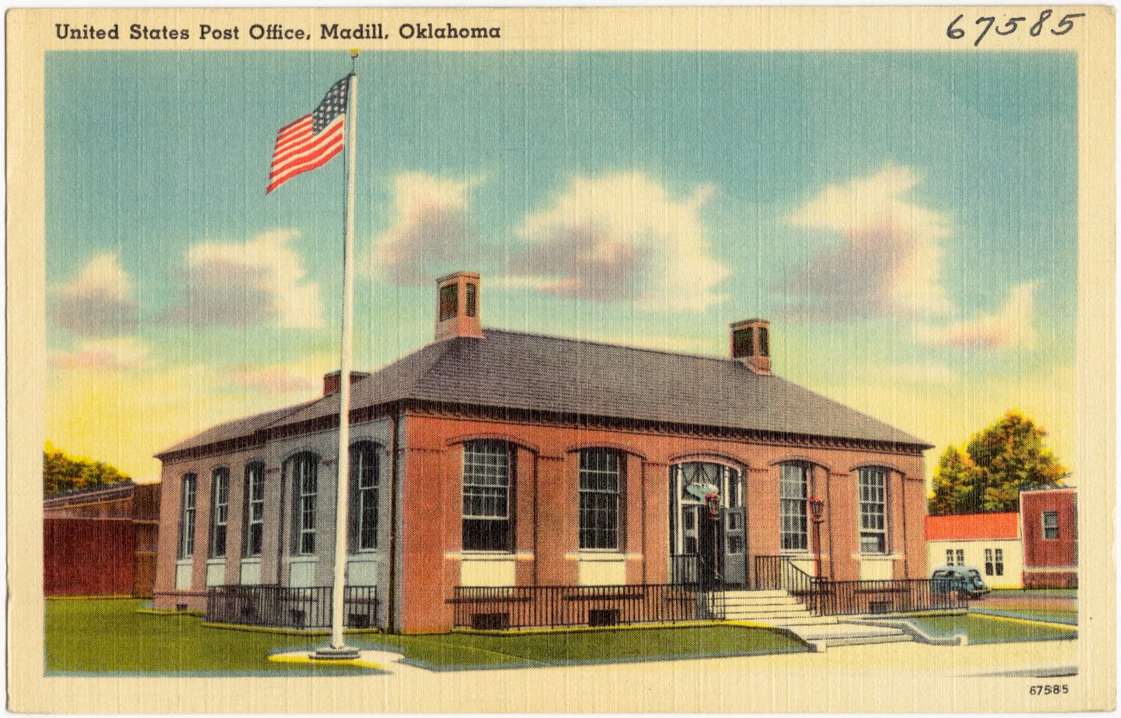
 | United States Post Office Madill | building | 2009 | 09000216 |
 | Worth Hotel | building | 1985 | 85000846 |
Selected from the Digital Public Library of America's 1 image records catalogued for this county. Every one shown here carries a public-domain status or a licence that permits reuse on a site that carries advertising; non-commercial, share-alike and restricted images are excluded. The selection is spread across the county's towns (at most eight per town), so no single institution's bulk upload crowds out the rest. Each opens the holding library's record, and the complete set at the Digital Public Library of America is one click away.
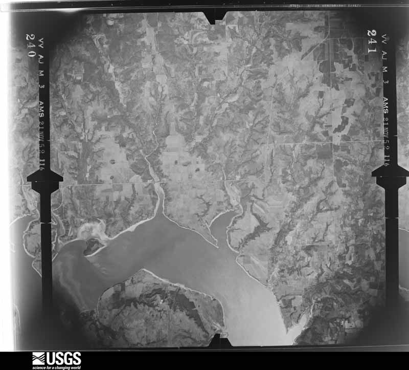
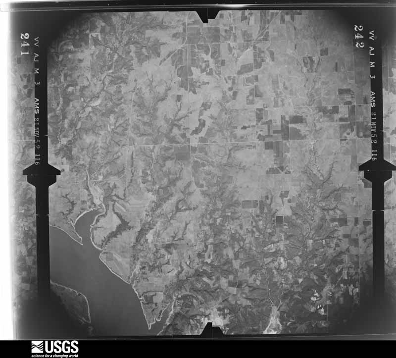
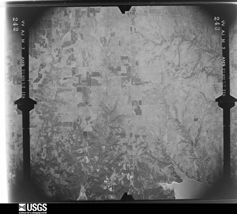
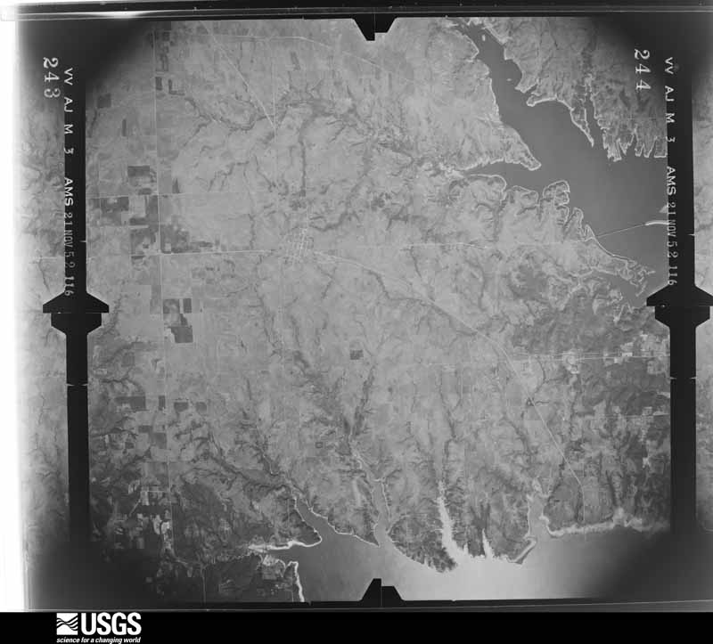
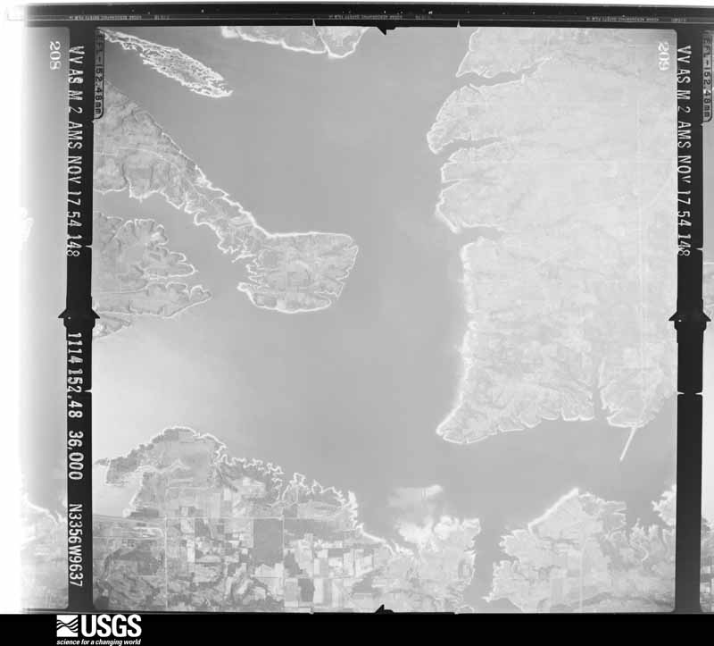
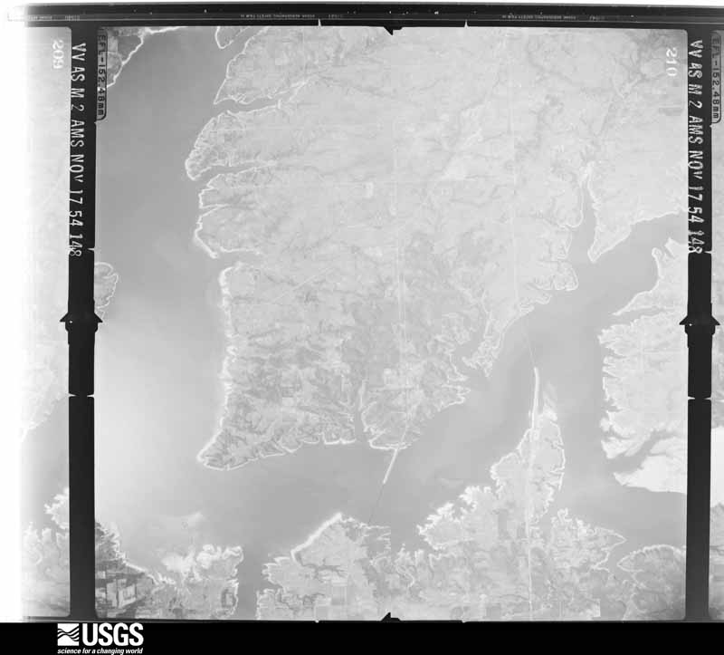
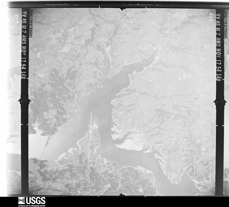
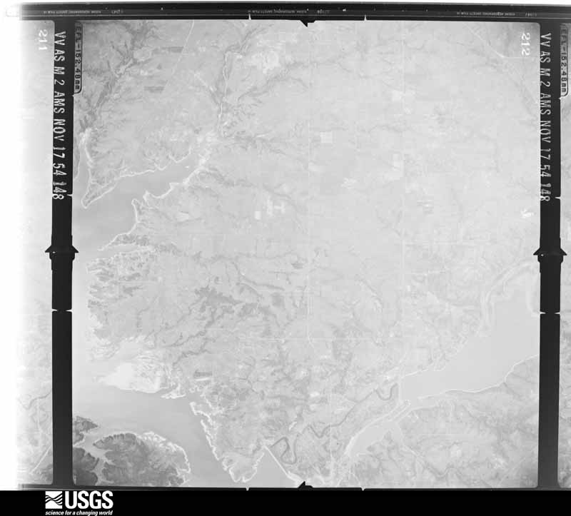
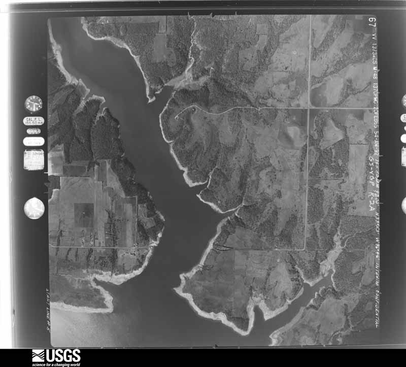
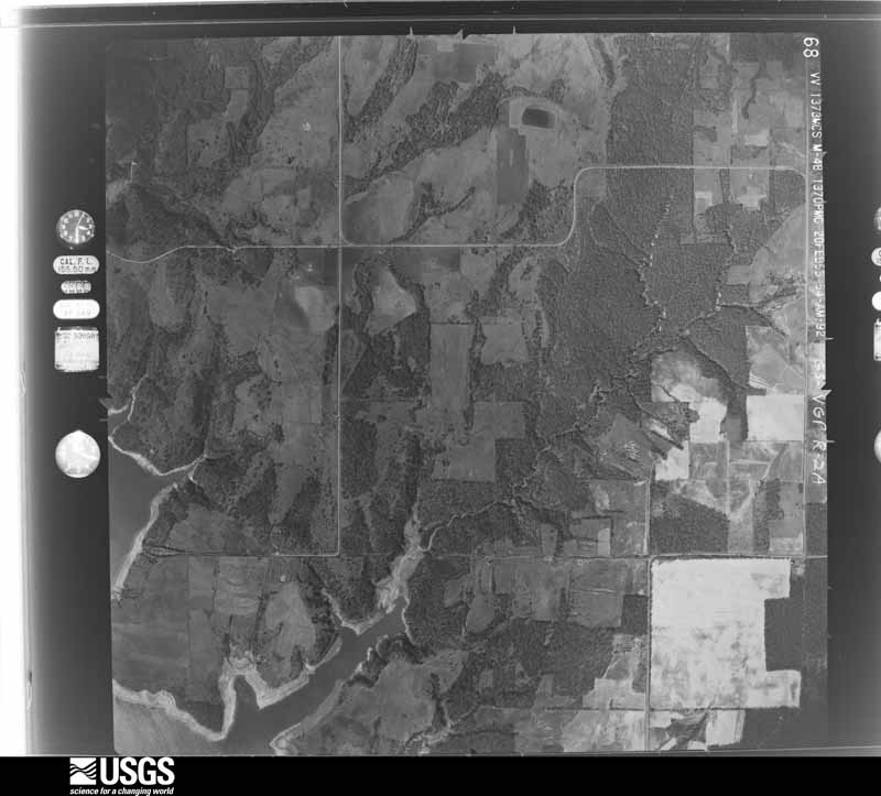
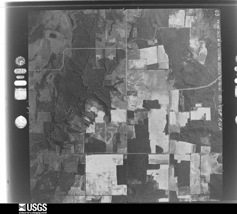
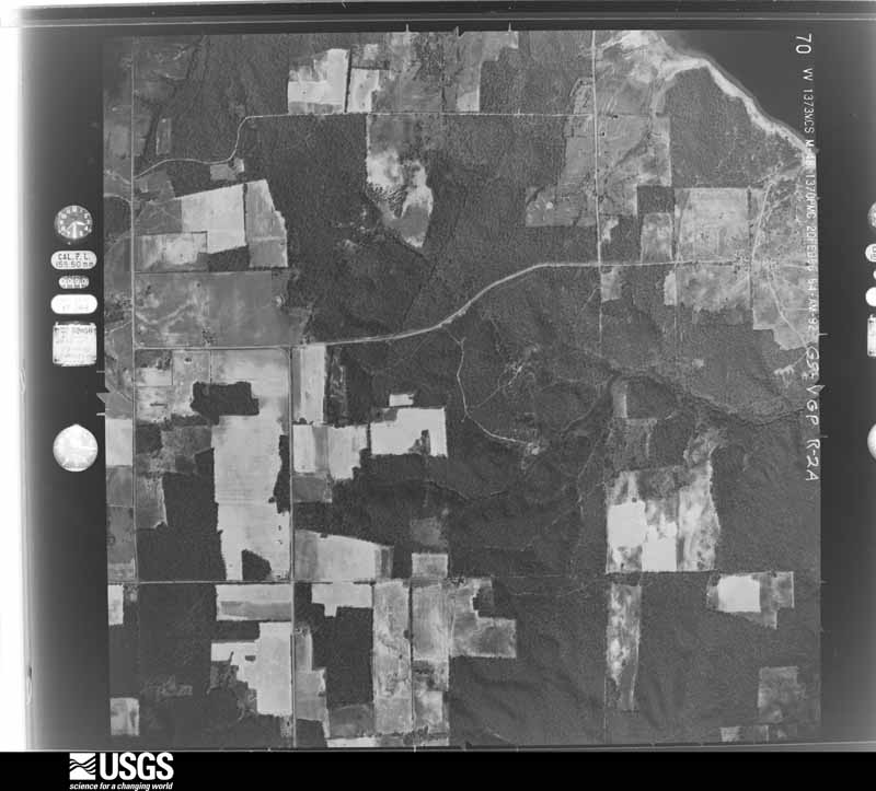
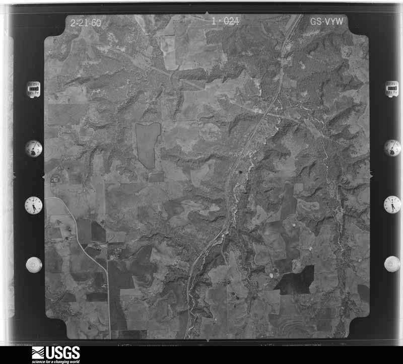
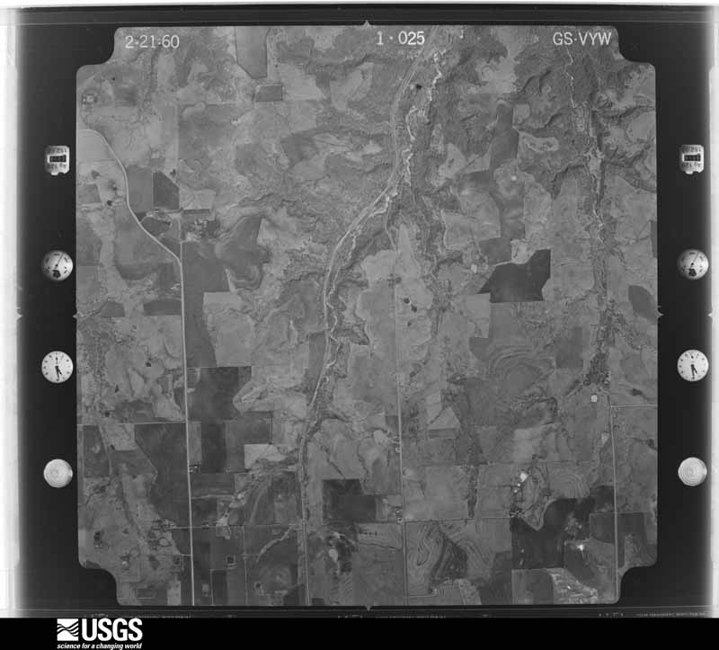
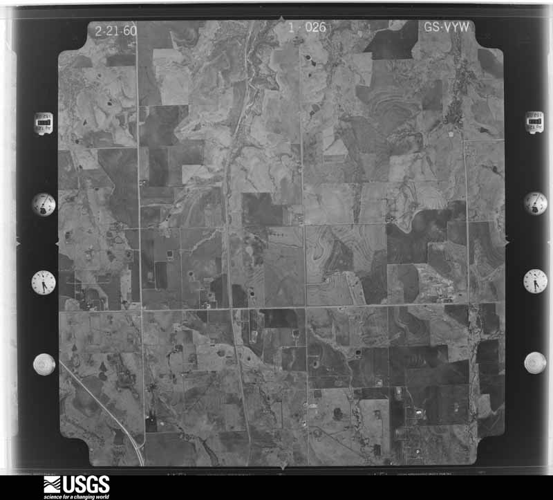
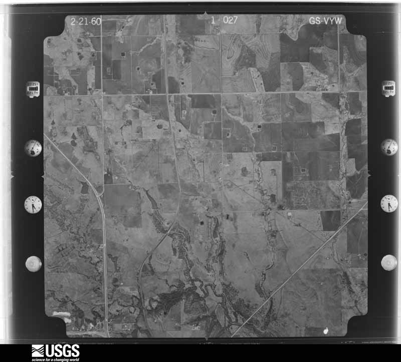
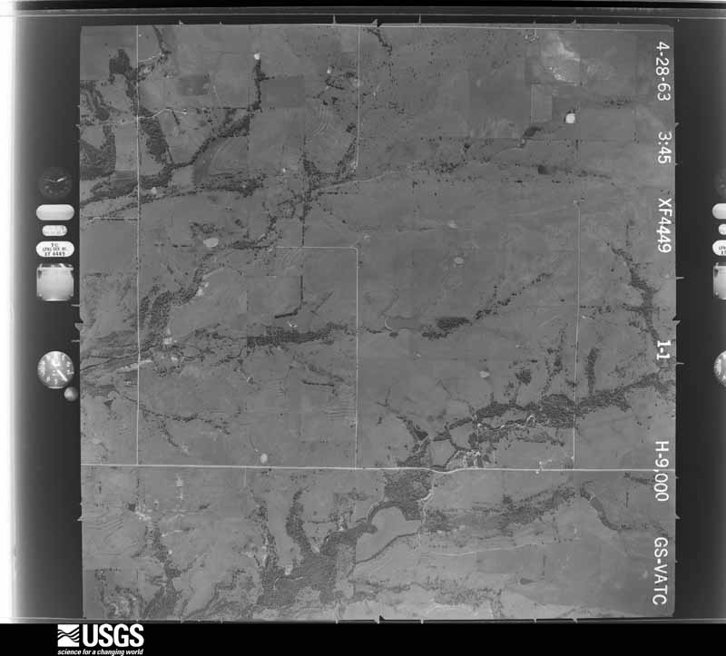
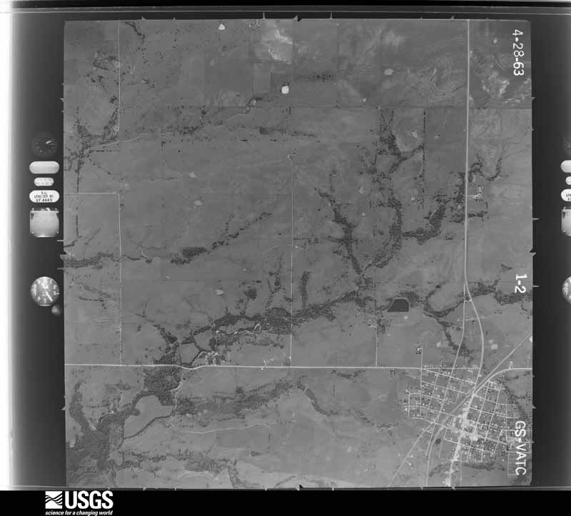
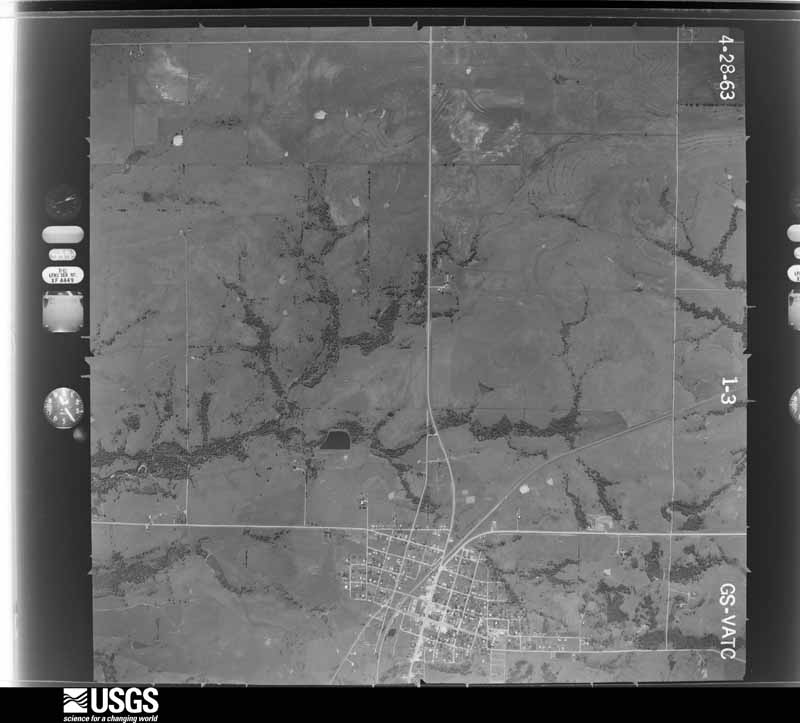
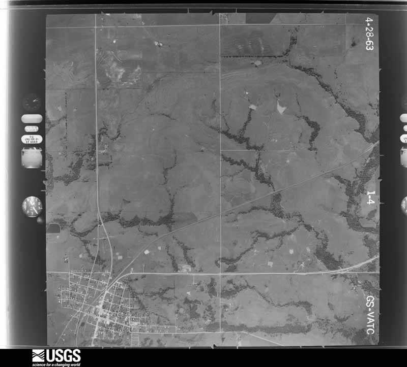
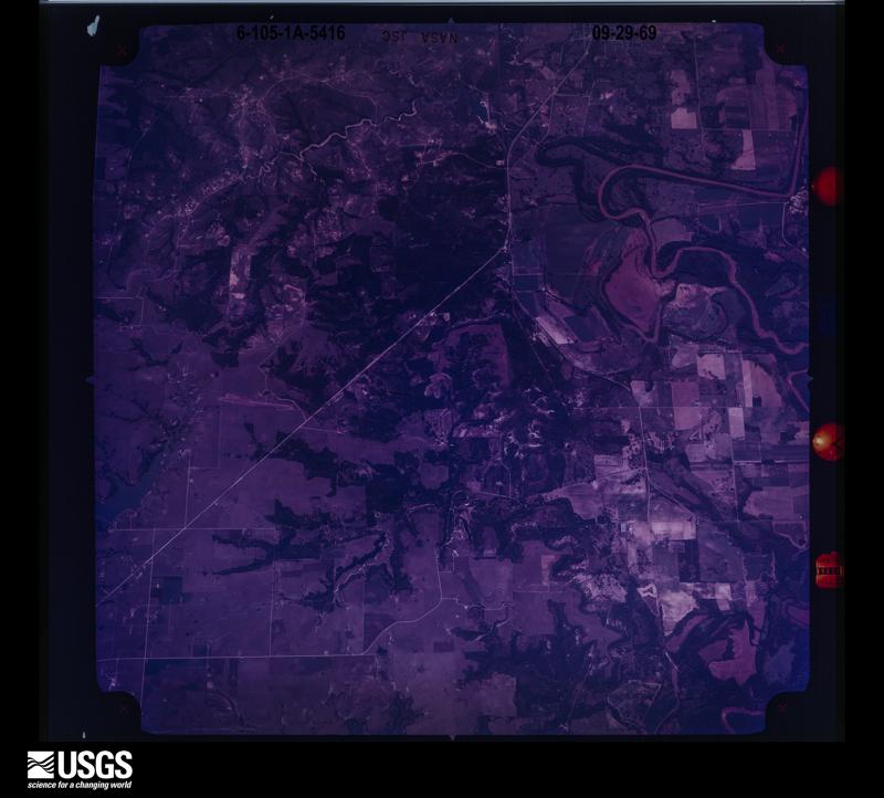
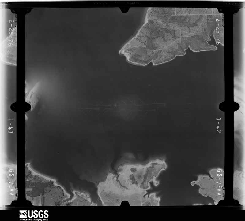
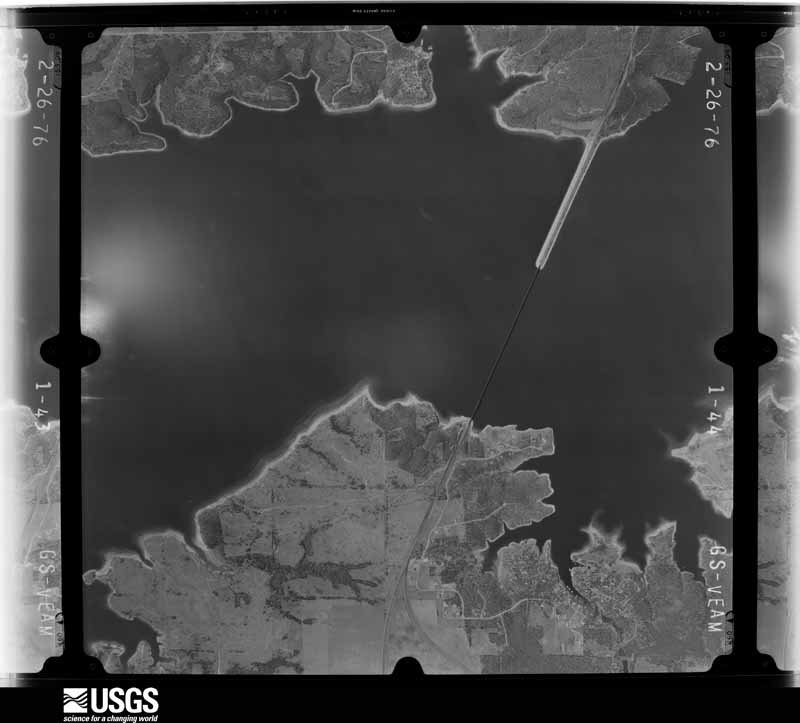
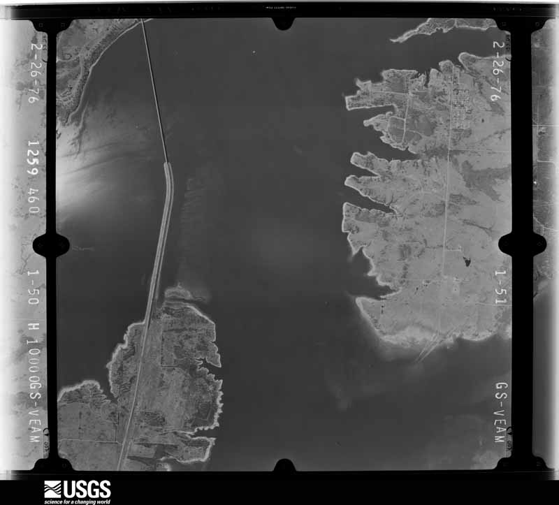
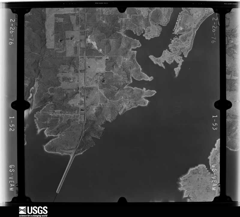
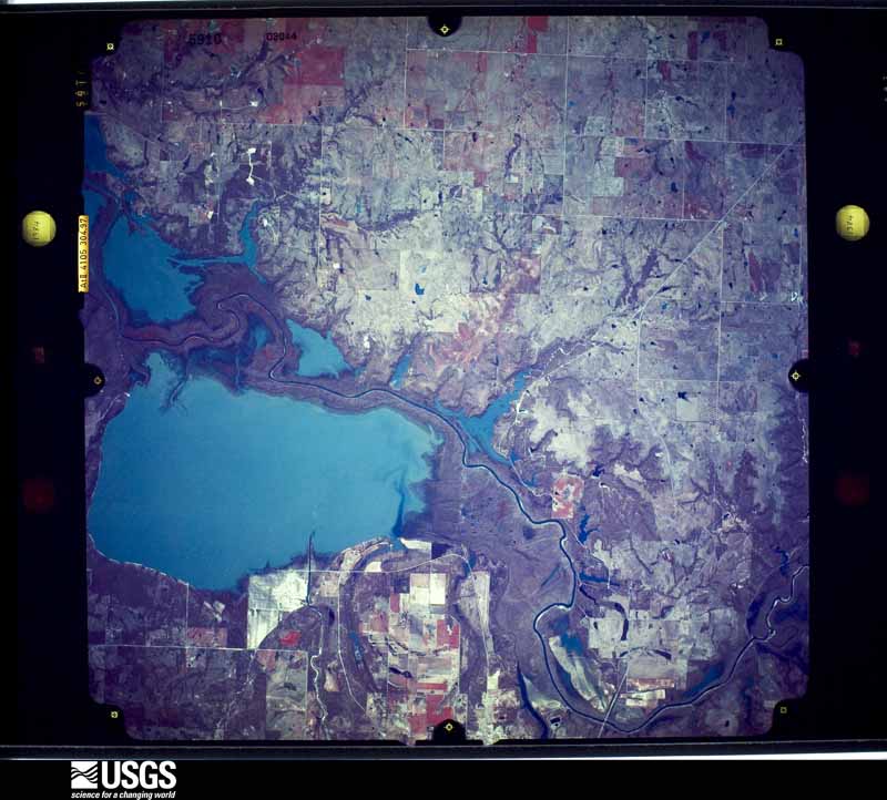
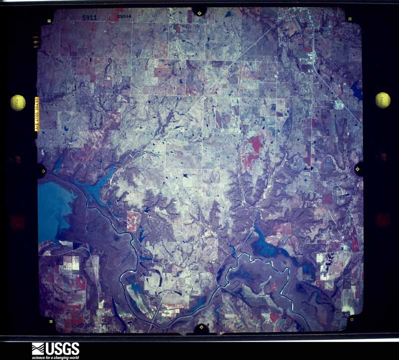
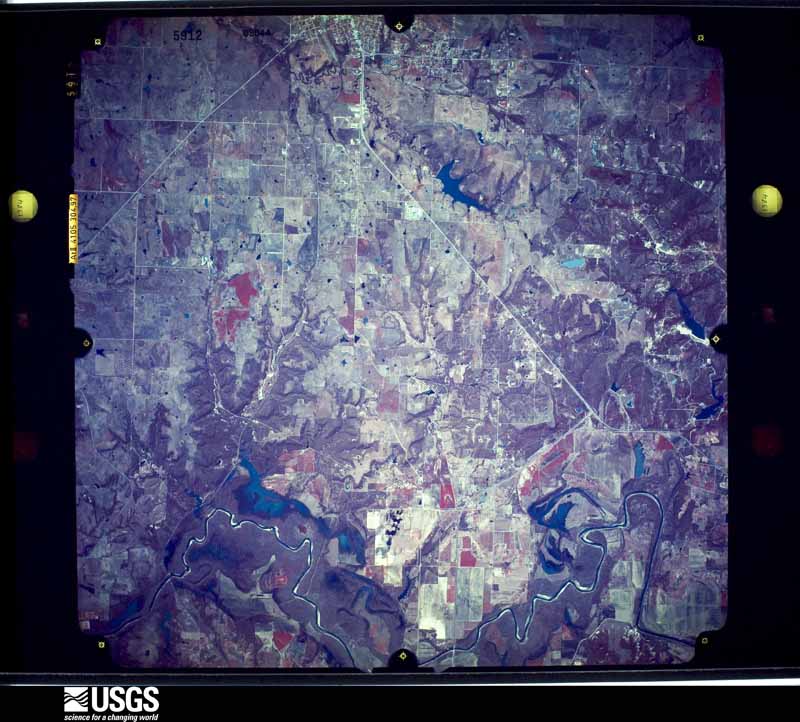
Flown by the U.S. Geological Survey between 1937 and 1989, the Aerial Photo Single Frames collection is the definitive mid-century view of the land: fields, roads and rivers as the camera saw them. The Survey holds 869 frames inside the rectangle that bounds this county; the 29 frames below were taken over the county itself, chosen across the decades of flights (at most four a year from that rectangle), so one flight cannot crowd out the rest. The full set is free to browse and download at EarthExplorer under the dataset Aerial Photo Single Frames.

The thermometers that kept this county's weather, as the federal records hold them. The extremes below are measured values from those records, not estimates.
Who lived here in 1950, one enumeration district at a time, as the Census Bureau described each district. Each row opens its official National Archives result, with Population Schedules and ED Maps available there.
Every wildfire the federal occurrence database records inside this county: 53 of them, burning about 4,331 acres. 7 started naturally and 13 were recorded as arson. Each settlement page carries the fires within five miles of it.
| Reported cause | Fires |
|---|---|
| Missing data/not specified/undetermined | 14 |
| Arson/incendiarism | 13 |
| Natural | 7 |
| Debris and open burning | 7 |
| Equipment and vehicle use | 7 |
| Power generation/transmission/distribution | 3 |
| Fireworks | 1 |
| Recreation and ceremony | 1 |
The five largest, by the area the report gives. Two of them were set deliberately.
| Date | Cause | Size | Reported by | Name on the report |
|---|---|---|---|---|
| 27 July 1998 | Missing data/not specified/undetermined | 570 acres | Chickasaw Agency | CANEY CREE |
| 15 March 2011 | Debris and open burning | 512 acres | Tishomingo National Wildlife Refuge | BELL CREEK |
| 30 December 2005 | Arson/incendiarism | 460 acres | Chickasaw Agency | WILLIS |
| 1 January 2006 | Missing data/not specified/undetermined | 460 acres | Chickasaw Agency | WILLIS |
| 15 November 2005 | Missing data/not specified/undetermined | 460 acres | Chickasaw Agency | POWELL |
| 28 March 2006 | Missing data/not specified/undetermined | 400 acres | Oklahoma Division of Forestry | WEST MADILL |
| 1 August 2006 | Equipment and vehicle use | 343 acres | Chickasaw Agency | PAGE |
| 7 January 2008 | Arson/incendiarism | 260 acres | Tishomingo National Wildlife Refuge | TRI-CITIES FIRE |
Every settlement page carries the fires within five miles of it - see the settlement index below.
The NOAA Storm Events Database holds 400 reports for this county, causing 6 deaths, 35 injuries and about $19,014,950 in recorded property damage. Each settlement page carries the reports that name it.
| Kind of event | Reports |
|---|---|
| Hail | 216 |
| Thunderstorm Wind | 130 |
| Tornado | 37 |
| Flash Flood | 14 |
| Lightning | 2 |
| Flood | 1 |
The most serious of them, by death, then injury, then recorded damage. The accounts are quoted exactly as the forecast office filed them.
| When | Event | Place named | Harm | What the report says |
|---|---|---|---|---|
| April 1957 | Tornado (F4) | not stated | 2 killed, 6 hurt, $2,500,000 | no account filed |
| April 2020 | Tornado (EF2) | Oakland | 2 killed, 1 hurt, $500,000 | The Madill tornado initially developed near State Highway 99C and west of Breezy Hill Road. The tornado moved east-northeast along and just north of Highway 99C and then crossed US-377 and moved through the southern portion of the city of Madill. The tornado turned east-southeast and dissipated about 2 miles southeast of the center of Madill. EF2 damage was noted to houses and industrial buildings in the south part of Madill and to power poles along the path.||Heavy damage occurred at J and I Manufacturing just southwest of Madill and the Oklahoma Steel and Wire on the southeast side of Madill. One person was ejected from his car and killed near the intersection of Highway 377 and Highway 99C when his car was hit by the tornado. And a truck driver from Mississippi who was making a delivery at Oklahoma Steel and Wire was outside of his truck, struck by falling debris and killed at the plant. One person was airlifted to a hospital in Plano Texas in critical condition, and an unknown number of people suffered minor injuries that did not require transport. |
| July 2025 | Lightning | Mcbride | 1 killed, 1 hurt | One person was killed and another critically injured when they were struck by lightning while playing horseshoes on Lake Texoma's North Island. The location is approximate, and the event time is estimated based on fire/ambulance dispatch times provided by emergency management. |
| February 2001 | Thunderstorm Wind | Kingston | 1 killed, $10,000,000 | Eight boathouses were sunk, and forty boats were damaged at Catfish Bay Marina on Lake Texoma. Nearly one-third of a 300 boat-slip and several nearby cabins were also heavily damaged. One man was killed when the boat he was on capsized and sank. |
| May 1992 | Tornado (F2) | not stated | 13 hurt, $2,500,000 | no account filed |
| March 1959 | Tornado (F3) | not stated | 10 hurt, $250,000 | no account filed |
| June 2003 | Lightning | Kingston | 2 hurt, $1,000 | Lightning struck a building that housed the grill for the Chickasaw Pointe Golf Resort located in the Lake Texoma State Park a few miles north of Highway 70. Two women working at a grill cooking hamburgers were struck by the lightning which is believed to have traveled down the vent hood. Both women were not seriously injured. |
| March 1971 | Tornado (F3) | not stated | 1 hurt, $250,000 | no account filed |
| June 1998 | Thunderstorm Wind | Kingston | 1 hurt, $12,000 | Severe thunderstorm winds downed a large tree onto a mobile home. A woman suffered a broken leg when the tree struck her as she was fleeing the mobile home. |
| March 2022 | Tornado (EF2) | Willis | $500,000 | This tornado initially developed in Grayson County Texas (see Storm Data for North Central Texas from NWS Fort Worth), and crossed Lake Texoma into Marshall County Oklahoma. After moving off Lake Texoma, this tornado damaged a number of homes and mobile homes in the Buncombe Creek community with EF2 damage noted in this area. The tornado continued northeast and damaged an outbuilding and trees near Little Road before dissipating. |
| March 2022 | Tornado (EF1) | Kingston | $500,000 | The first area of damage was noted about 2 miles south of Kingston where a house received significant roof damage. The tornado moved northeast crossing US-70 in the far eastern portion of Kingston where a number of homes and businesses were significantly damaged, including metal buildings where roof and wall panels were pulled from the building. Tree damage continued to the northeast and debris from the structures on US-70 fell in areas to the northeast as the tornado approached the northwestern arm of Lake Texoma. Damage to trees, outbuildings and a couple of homes continued as the tornado approached Little City. Widespread tree and structure damage occurred in Little City, primarily of EF0 and low EF1 intensity before the tornado dissipated just northeast of town. |
| May 1994 | Thunderstorm Wind | Northern Willis | $500,000 | Thunderstorms in southern Oklahoma during the afternoon of the 27th produced damaging lightning, damaging winds, and hail up to dime-size. Thunderstorm winds near Willis destroyed one mobile home, damaged two homes, one barn, and several recreation vehicles, blew a tree onto a boat, destroyed a gas pump and a sign, tore roofing material off a business resulting in water damage, and downed trees. Near Willis, a man seeking shelter from the storm in a tent was blown into Lake Texoma. The man was able to get out of the tent and reach land safely. A lightning strike knocked a hole in the roof of a house and destroyed a transformer on the east side of Lawton. |
| April 2025 | Tornado (EF1) | Lebanon | $300,000 | A tornado moved northeast across southwestern Marshall County, forming near the Red River and passed west of Kingston before dissipating south of Madill. A few homes suffered roof damage along the path, and many trees and power poles were damaged. |
| April 1964 | Tornado (F3) | not stated | $250,000 | no account filed |
| April 2025 | Tornado (EF2) | Madill | $200,000 | A barn was damaged along State Highway 199 east of Madill. A home suffered significant damage and an outbuilding was destroyed along Four Corners Road. |
| April 2008 | Thunderstorm Wind | Woodville | $100,000 | High winds in the wake of thunderstorms in north Texas caused widespread damage at the Soldier Creek Resort and Marina. Winds estimated at 80 mph created waves as high as eight feet tall. Three boats were sunk, with another 30 damaged. The resort boat dock and structures were significantly damaged. Four of the 30 boat houses were destroyed. Several 40 foot oak trees were uprooted, and several homes also damaged. Monetary damages were estimated. |
| May 2003 | Tornado (F2) | Antioch | $100,000 | This strong F2 tornado is the final of three Oklahoma tornadoes produced by a supercell that moved across south central Oklahoma. The tornado was seen by spotters touching down approximately a mile east of the Carter-Marshall county line. The tornado then moved northeast before dissipating north of Antioch. The most significant damage was sustained in an area about three miles west of Antioch along Highway 70. A wood frame home lost its roof and two walls. Two barns also lost roofs in this area. A forty foot by one hundred foot barn south of Highway 70 was heavily damaged. Three tractors were also damaged. One of the tractors was hooked up to a hay baler and was moved 100 yards. |
| March 2004 | Thunderstorm Wind | Enos | $90,000 | Several homes sustained roof damage. Several outbuildings were also damaged. Many large trees were downed, with some falling on homes. |
| May 2025 | Thunderstorm Wind | Lebanon | $50,000 | A relayed image shows the metal roof of a mobile home blown off. The event time is estimated from radar observations. |
| May 2025 | Flash Flood | Lebanon | $50,000 | A portion of Griffin Mountain Road was washed out and closed due to flooding. At least one swift water rescue was performed during the early morning the 26th when a vehicle became stranded in floodwaters. The event time is approximate. |
| April 1984 | Tornado (F1) | not stated | $25,000 | no account filed |
| April 1979 | Tornado (F2) | not stated | $25,000 | no account filed |
| May 1968 | Tornado (F1) | not stated | $25,000 | no account filed |
| May 1968 | Tornado (F0) | not stated | $25,000 | no account filed |
| August 2023 | Thunderstorm Wind | Mcbride | $20,000 | Multiple large (12+ inch diameter) tree limbs blown down, one crushing a vehicle. Time is radar estimated. |
| April 2020 | Tornado (EF0) | Little City | $20,000 | Spotters and chasers observed a third tornado from the Madill storm east of Madill. An NWS storm survey noted damage to utility poles and trees southwest of Little City and west of Cumberland. |
| July 2008 | Thunderstorm Wind | Kingston | $20,000 | An outbuilding was destroyed. No injuries were reported. The report was relayed by KXII-TV. Monetary damages were estimated. |
| June 2005 | Thunderstorm Wind | Madill | $20,000 | Awnings were blown over. Power poles were snapped. Trees were also downed. |
| March 2004 | Thunderstorm Wind | Madill | $20,000 | A porch roof was taken off a house in the Sanders Island View area. |
| September 2009 | Thunderstorm Wind | Oakland | $15,000 | Numerous tree limbs up to three inches in diameter were downed, and a couple of trees that were approximately eight to ten feet tall were uprooted. Golf ball-size hail was also reported at this location. Monetary damages were estimated. |
| November 1996 | Thunderstorm Wind | Kingston | $15,000 | no account filed |
| June 2025 | Thunderstorm Wind | Madill | $10,000 | Relayed images courtesy of the Oklahoma Department of Emergency Management show a large tree uprooted, landing on and damaging a large metal carport. The event time is estimated from radar observations. |
| August 2023 | Thunderstorm Wind | Willis | $10,000 | Power poles blown down in the Enos and Buncombe Creek communities. Time is radar estimated. |
| March 2023 | Thunderstorm Wind | Willis | $10,000 | An outbuilding was damaged on Edge Road. Power poles and one tree were also down near Lark Road. |
| July 2020 | Thunderstorm Wind | Madill | $10,000 | Substantial damage to building at community pool along with fence and pool damage. |
| October 2019 | Thunderstorm Wind | Woodville | $10,000 | Four power poles downed on SH 70B. Time estimated. |
| October 2019 | Thunderstorm Wind | Little City | $10,000 | Mobile home roof damage and a power pole down in the Cumberland area. |
| August 2018 | Thunderstorm Wind | Madill | $10,000 | Possible downburst knocked 2 mobile homes off their foundations and scattered them approximately 5 feet. Time estimated from radar. |
| June 2017 | Thunderstorm Wind | Woodville | $10,000 | Power lines downed and a sheet metal building was destroyed. Time estimated from radar. |
| June 1997 | Thunderstorm Wind | Madill | $8,000 | Severe thunderstorm winds up to 70 mph blew the roof off a realtor's office and destroyed a storage building. The high school scoreboard was damaged and a tree was blown over onto an archway at a city park. Numerous other trees were downed, as well as power lines and signs throughout town. |
| May 2020 | Thunderstorm Wind | Oakland | $5,000 | Mobile home had part of its roof removed by straight line winds, time estimated from radar. |
| May 2019 | Thunderstorm Wind | Madill | $5,000 | Power Pole snapped in Madill along 16th street just south of Highway 70. |
| July 2017 | Thunderstorm Wind | Oakland | $5,000 | Numerous utility poles were downed and across the road. |
| July 2008 | Thunderstorm Wind | Kingston | $5,000 | Several tree limbs and power lines were blown down. Power was out to most of the town. Monetary damages were estimated. |
| May 2003 | Hail | Madill | $5,000 | Several homes had windows broken and damage to vinyl siding. |
| May 1995 | Thunderstorm Wind | Kingston | $5,000 | no account filed |
| July 2018 | Thunderstorm Wind | Kingston | $3,000 | Trees were blown over onto power lines. |
| May 1992 | Tornado (F0) | not stated | $2,500 | no account filed |
| November 1987 | Tornado (F1) | not stated | $2,500 | no account filed |
| April 2011 | Thunderstorm Wind | Kingston | $2,000 | A tree blew down, which toppled a power line as well. Monetary damages were estimated. |
| June 1997 | Thunderstorm Wind | Kingston | $1,500 | A storage building was destroyed and shingles were blown from the roof at a nursing home. |
| May 2001 | Tornado (F1) | Madill | $1,000 | This tornado was observed by two spotters about nine miles west of Madill near McMillon and lasted approximately 30 seconds to one minute. Several small trees were downed. In addition, house windows were broken, and roof shingles were blown off a house. |
| March 2004 | Thunderstorm Wind | Madill | $500 | An eight inch diameter tree was downed. |
| July 1997 | Thunderstorm Wind | Madill | $400 | Power poles were blown down. |
| October 1974 | Tornado (F1) | not stated | $250 | no account filed |
| February 1953 | Tornado (F1) | not stated | $250 | no account filed |
| April 1964 | Tornado (F2) | not stated | $30 | no account filed |
| August 2002 | Thunderstorm Wind | Kingston | $10 | Three inch diameter tree limbs were downed. |
| August 2002 | Thunderstorm Wind | Kingston | $10 | Large tree limbs were downed. |
| April 2026 | Hail | Mcbride | - | The report was relayed through mPING. |
The Survey's mineral resources record lists 52 workings inside this county. 2 still produce and 50 are closed or unrecorded. Each settlement page carries the workings within five miles of it.
| Commodity | Workings |
|---|---|
| Sand and Gravel, Construction | 39 |
| Stone, Crushed/Broken | 12 |
| Sulfur | 1 |
The least common of them first, because a county's hundredth gravel pit says nothing its first ten did not.
| Where | Site | Commodity | Status | Recorded |
|---|---|---|---|---|
| Madill Sulfur Plant | Sulfur | Producer | ||
| Unknown Limestone Pit | Stone, Crushed/Broken | Past Producer | ||
| Unknown Limestone Pit | Stone, Crushed/Broken | Past Producer | ||
| Unknown Limestone Pit | Stone, Crushed/Broken | Past Producer | ||
| Unknown Limestone Pit | Stone, Crushed/Broken | Past Producer | ||
| Unknown Limestone Pit | Stone, Crushed/Broken | Past Producer | ||
| Unknown Limestone Pit | Stone, Crushed/Broken | Past Producer | ||
| Unknown Limestone Pit | Stone, Crushed/Broken | Past Producer | ||
| Unknown Limestone Pit | Stone, Crushed/Broken | Producer | ||
| Unknown Limestone Pit | Stone, Crushed/Broken | Past Producer | ||
| Unknown Limestone Pit | Stone, Crushed/Broken | Past Producer | ||
| Unknown Limestone Pit | Stone, Crushed/Broken | Past Producer | ||
| Unknown Limestone Pit | Stone, Crushed/Broken | Past Producer | ||
| Unknown Gravel Pit | Sand and Gravel, Construction | Past Producer | ||
| Unknown Gravel Pit | Sand and Gravel, Construction | Past Producer | ||
| Unknown Gravel Pit | Sand and Gravel, Construction | Past Producer | ||
| Unknown Gravel Pit | Sand and Gravel, Construction | Past Producer | ||
| Unknown Gravel Pit | Sand and Gravel, Construction | Past Producer | ||
| Unknown Gravel Pit | Sand and Gravel, Construction | Past Producer | ||
| Unknown Gravel Pit | Sand and Gravel, Construction | Past Producer | ||
| Unknown Gravel Pit | Sand and Gravel, Construction | Past Producer | ||
| Unknown Gravel Pit | Sand and Gravel, Construction | Past Producer | ||
| Unknown Gravel Pit | Sand and Gravel, Construction | Past Producer | ||
| Unknown Gravel Pit | Sand and Gravel, Construction | Past Producer | ||
| Unknown Gravel Pit | Sand and Gravel, Construction | Past Producer | ||
| Unknown Gravel Pit | Sand and Gravel, Construction | Past Producer | ||
| Unknown Gravel Pit | Sand and Gravel, Construction | Past Producer | ||
| Unknown Gravel Pit | Sand and Gravel, Construction | Past Producer | ||
| Unknown Sand Pit | Sand and Gravel, Construction | Past Producer | ||
| Unknown Sand Pit | Sand and Gravel, Construction | Past Producer | ||
| Unknown Sand Pit | Sand and Gravel, Construction | Past Producer | ||
| Unknown Sand Pit | Sand and Gravel, Construction | Past Producer | ||
| Unknown Sand Pit | Sand and Gravel, Construction | Past Producer | ||
| Unknown Sand Pit | Sand and Gravel, Construction | Past Producer | ||
| Unknown Sand Pit | Sand and Gravel, Construction | Past Producer | ||
| Unknown Sand Pit | Sand and Gravel, Construction | Past Producer | ||
| Unknown Sand Pit | Sand and Gravel, Construction | Past Producer | ||
| Unknown Sand Pit | Sand and Gravel, Construction | Past Producer | ||
| Unknown Sand Pit | Sand and Gravel, Construction | Past Producer | ||
| Unknown Sand Pit | Sand and Gravel, Construction | Past Producer | ||
| Unknown Sand Pit | Sand and Gravel, Construction | Past Producer | ||
| Unknown Sand Pit | Sand and Gravel, Construction | Past Producer | ||
| Unknown Sand Pit | Sand and Gravel, Construction | Past Producer | ||
| Unknown Sand Pit | Sand and Gravel, Construction | Past Producer | ||
| Unknown Sand Pit | Sand and Gravel, Construction | Past Producer | ||
| Unknown Sand Pit | Sand and Gravel, Construction | Past Producer | ||
| Unknown Sand Pit | Sand and Gravel, Construction | Past Producer | ||
| Unknown Sand Pit | Sand and Gravel, Construction | Past Producer | ||
| Unknown Sand Pit | Sand and Gravel, Construction | Past Producer | ||
| Unknown Sand Pit | Sand and Gravel, Construction | Past Producer | ||
| Unknown Sand Pit | Sand and Gravel, Construction | Past Producer | ||
| Unknown Sand Pit | Sand and Gravel, Construction | Past Producer |
Named settlements recorded in the Geographic Names Information System, each with the topographic sheets covering it. Villages, hamlets and abandoned places alike. Each is shown with the nearest named watercourse or landform and the survey quadrangle it falls on. The 2 places that were also surveyed for fire insurance come first, with the number of atlases and photographs held for them.
South Marshall census division · 73439 · Kingston South quadrangle
12 sheets, 1901 to 1985
Fire insurance: 3 atlases
North Marshall census division · 73446 · Madill quadrangle
14 sheets, 1901 to 1985
Fire insurance: 7 atlases
North Marshall census division · 73446 · Kingston North quadrangle
14 sheets, 1901 to 1985
South Marshall census division · 73439 · On Brier Creek · Shay quadrangle
13 sheets, 1901 to 1985
North Marshall census division · 73440 · On Little Hauani Creek · Lebanon quadrangle
12 sheets, 1901 to 1985
South Marshall census division · 73439 · On McLaughlin Creek · Kingston South quadrangle
12 sheets, 1901 to 1985
South Marshall census division · 73439 · On Rooster Creek · Kingston South quadrangle
12 sheets, 1901 to 1985
South Marshall census division · 73439 · On House Creek · Shay quadrangle
13 sheets, 1901 to 1985
North Marshall census division · 73446 · Little City quadrangle
13 sheets, 1901 to 1985
North Marshall census division · 73446 · On Cedar Creek · Mannsville quadrangle
14 sheets, 1901 to 1985
14 topographic sheets and 7 fire insurance atlases, 1902 to 1943
12 topographic sheets and 3 fire insurance atlases, 1916 to 1924