 Block
From the record
6 National Register listings published here.
Sources: the National Register database, National Park Service
40 topographic sheets and 22 fire insurance atlases across 4 places.
6 National Register listings published here.
Sources: the National Register database, National Park Service
Every property in this county listed on the National Register of Historic Places, with the year it was listed and the federal nomination document.
| Photograph | Property | Type | Listed | Reference |
|---|---|---|---|---|
| Cabin Creek Battlefield | site | 1971 | 71000669 | |
| Farmers and Merchants Bank | building | 1983 | 83002091 | |
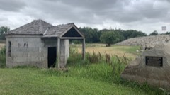 | Lewis Ross/Cherokee Orphan Asylum Springhouse | building | 1983 | 83002092 |
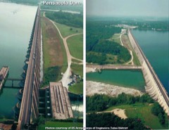 | Pensacola Dam | district | 2003 | 03000883 |
| Territorial Commercial District | building | 1983 | 83002093 | |
| Union Mission Site | site | 1971 | 71000668 |
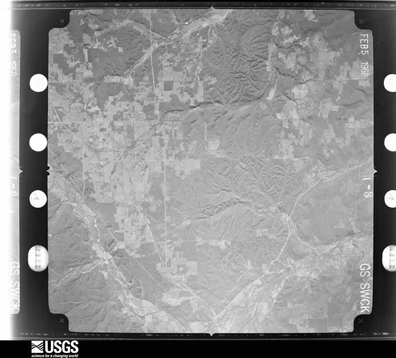
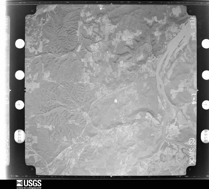
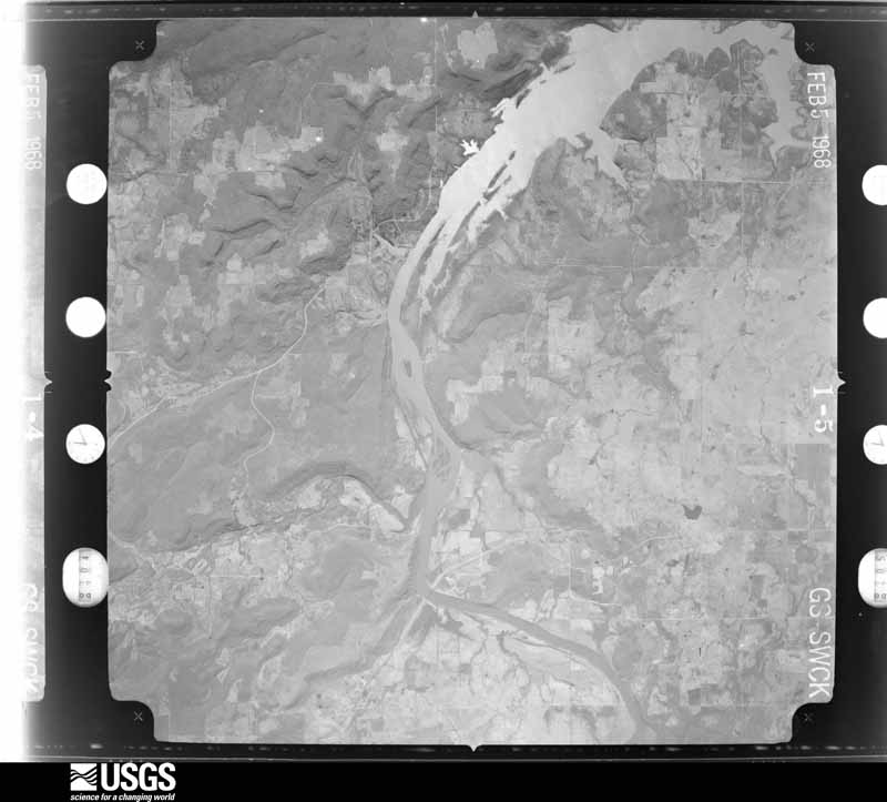
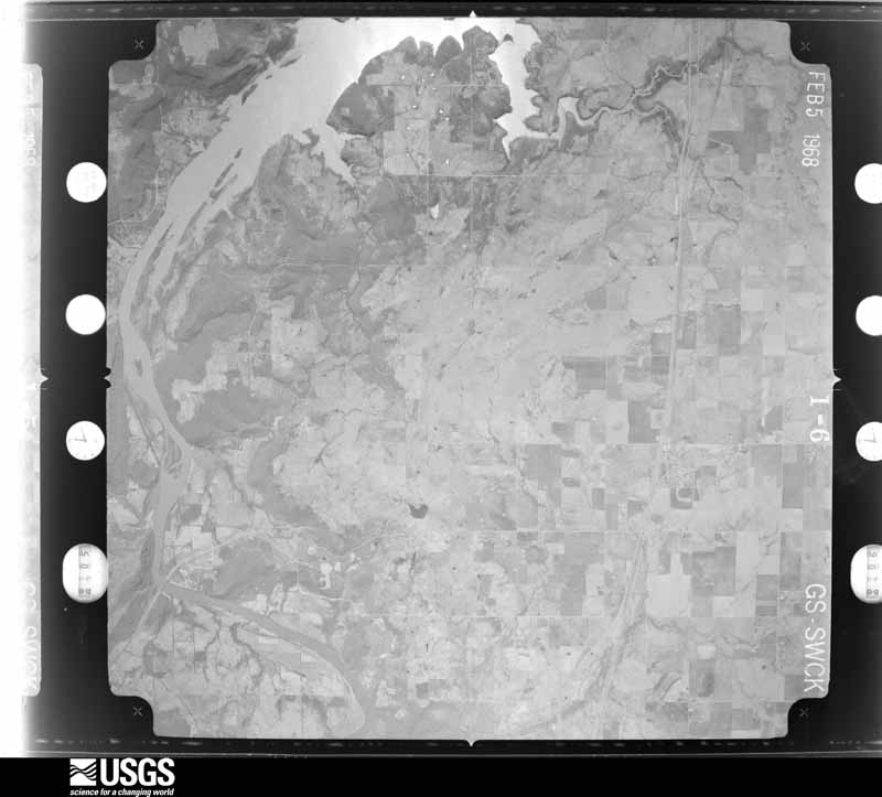
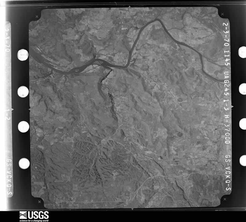
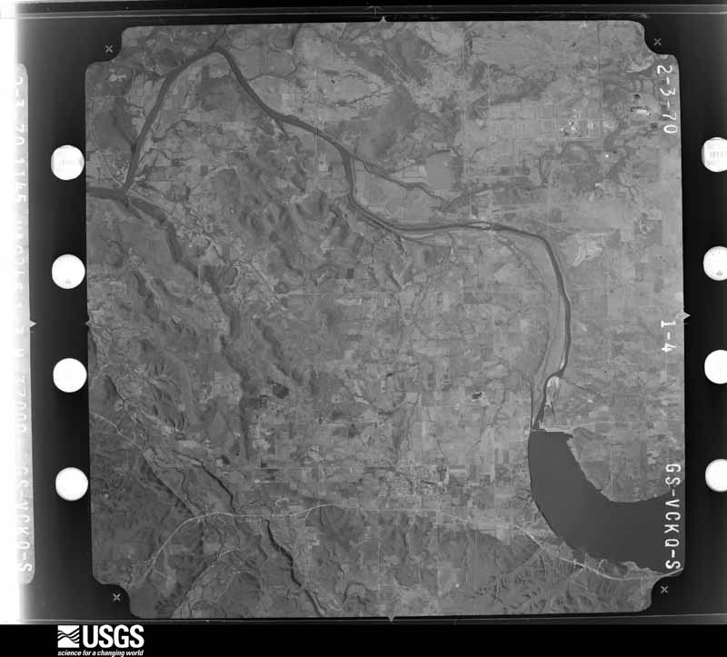
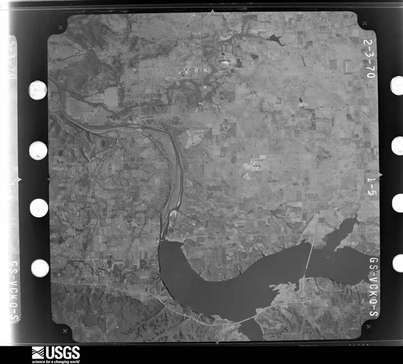
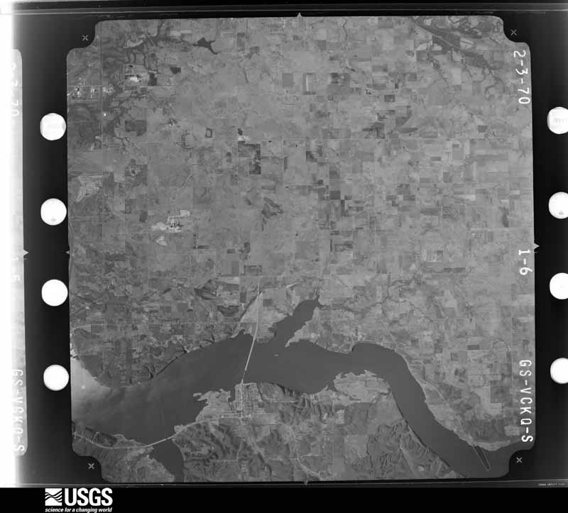
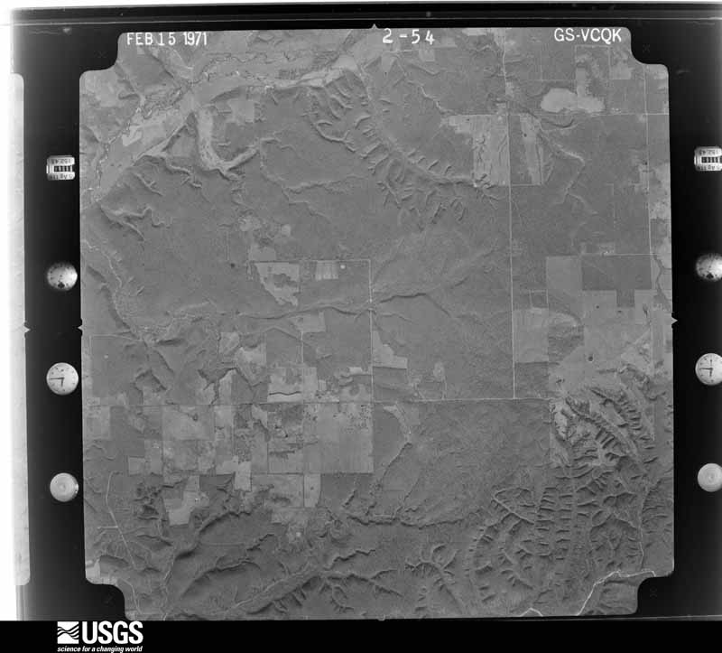
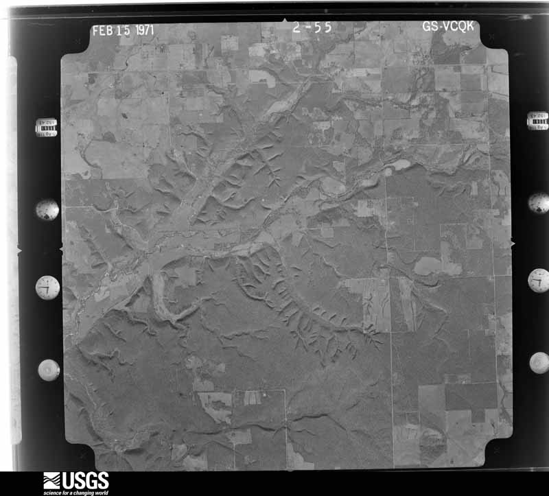
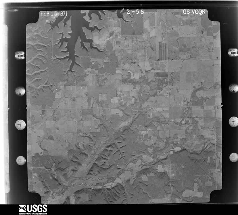
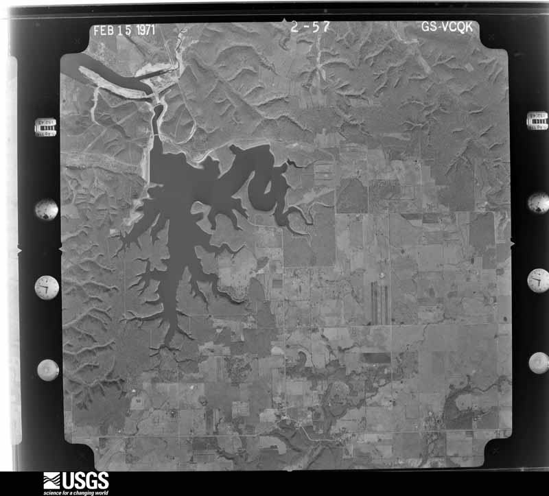
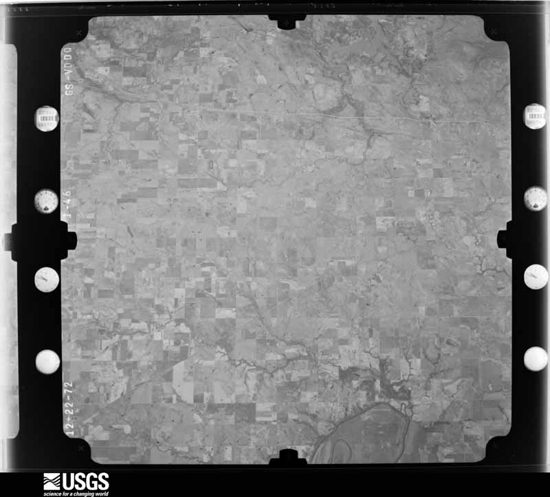
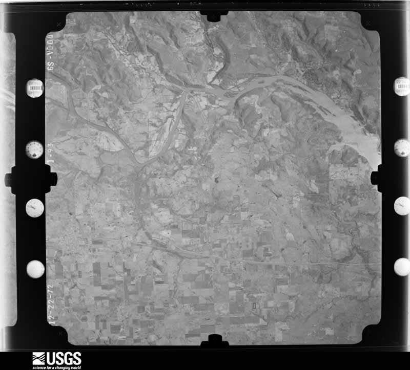
Flown by the U.S. Geological Survey between 1937 and 1989, the Aerial Photo Single Frames collection is the definitive mid-century view of the land: fields, roads and rivers as the camera saw them. The Survey holds 604 frames inside the rectangle that bounds this county; the 16 frames below were taken over the county itself, chosen across the decades of flights (at most four a year from that rectangle), so one flight cannot crowd out the rest. The full set is free to browse and download at EarthExplorer under the dataset Aerial Photo Single Frames.


The thermometers that kept this county's weather, and the gages that measured the flow of its streams, as the federal records hold them. The extremes below are measured values from those records, not estimates.
Who lived here in 1950, one enumeration district at a time, as the Census Bureau described each district. Each row opens its official National Archives result, with Population Schedules and ED Maps available there.
Every wildfire the federal occurrence database records inside this county: 1,087 of them, burning about 33,481 acres. 40 started naturally and 398 were recorded as arson. Each settlement page carries the fires within five miles of it.
| Reported cause | Fires |
|---|---|
| Arson/incendiarism | 398 |
| Missing data/not specified/undetermined | 359 |
| Debris and open burning | 155 |
| Recreation and ceremony | 52 |
| Equipment and vehicle use | 44 |
| Natural | 40 |
| Smoking | 26 |
| Misuse of fire by a minor | 7 |
| Railroad operations and maintenance | 6 |
The five largest, by the area the report gives. Three of them were set deliberately.
| Date | Cause | Size | Reported by | Name on the report |
|---|---|---|---|---|
| 27 November 2005 | Missing data/not specified/undetermined | 5,120 acres | Okmulgee Field Office | FLATROCKCO |
| 1 March 2006 | Equipment and vehicle use | 1,050 acres | Oklahoma Division of Forestry | OUT POST FIRE |
| 18 February 2016 | Natural | 900 acres | Cherokee Nation Tribe | NE16116A |
| 4 March 2012 | Arson/incendiarism | 750 acres | Oklahoma Division of Forestry | 30150 |
| 6 April 2013 | Arson/incendiarism | 613 acres | Oklahoma Division of Forestry | BLUE HOLE |
| 6 April 2013 | Debris and open burning | 610 acres | Cherokee Nation Tribe | POWDER MILL |
| 27 February 2009 | Arson/incendiarism | 500 acres | Oklahoma Division of Forestry | 30374 |
| 29 April 1997 | Equipment and vehicle use | 446 acres | Oklahoma Division of Forestry | not named |
Every settlement page carries the fires within five miles of it - see the settlement index below.
The NOAA Storm Events Database holds 832 reports for this county, causing 7 deaths, 38 injuries and about $50,908,350 in recorded property damage. Each settlement page carries the reports that name it.
| Kind of event | Reports |
|---|---|
| Hail | 341 |
| Thunderstorm Wind | 325 |
| Tornado | 93 |
| Flash Flood | 56 |
| Flood | 9 |
| Lightning | 7 |
| Funnel Cloud | 1 |
The most serious of them, by death, then injury, then recorded damage. The accounts are quoted exactly as the forecast office filed them.
| When | Event | Place named | Harm | What the report says |
|---|---|---|---|---|
| May 2024 | Tornado (EF3) | Pryor | 2 killed, 4 hurt, $5,000,000 | This is the second segment of a two-segment tornado. The tornado moved into Mayes County at about the W 470 Road, and continued to produce significant damage, snapping many trees at the county line. As it moved east-southeast, the tornado destroyed a mobile home less than a mile east of the county line, where two fatalities and four injuries occurred. The tornado destroyed several homes near the N 428 Road, about four miles northwest of Pryor, and then dissipated about two miles northwest of Pryor. In total, about 60 homes were damaged, eighteen of which were destroyed, more than 50 outbuildings were destroyed, and many power poles were blown down. Based on this damage, maximum estimated wind in this segment of the tornado was 145 to 155 mph. |
| August 2023 | Lightning | Spavinaw | 1 killed, 3 hurt | Lightning struck and injured four girls who were swimming. All of the girls were taken to local hospitals. One of the girls died from her injuries on August 7th. |
| August 2011 | Tornado (EF2) | Locust Grove | 1 killed, 2 hurt | This is the third of three segments of this tornado. As the tornado crossed back into Mayes County, it destroyed a double wide mobile home and damaged a single wide mobile home just north of the E590 Road. A woman was killed in the double wide mobile home and two people were injured in the other mobile home. Trees were uprooted and snapped and debris from the double wide mobile home was transported several hundred yards downstream. The tornado damaged another mobile home south of the E580 Road where it destroyed a greenhouse. Numerous trees were uprooted and snapped along the path until the tornado dissipated just south of the E570 Road. Based on this damage, maximum estimated wind in this segment of the tornado was about 125 mph. ||August is one of the least active months for tornadoes in this part of the country so the intensity of this tornado was even more unusual. In fact, this is only the 4th strong tornado (EF-2 or EF-3) that has been confirmed in eastern Oklahoma since 1950. |
| July 2011 | Thunderstorm Wind | Chouteau | 1 killed, 1 hurt, $15,000 | Strong thunderstorm wind flipped a horse-drawn buggy injuring two passengers, one critically. The critically injured woman died in a hospital from her injuries on September 3rd. The strong wind also destroyed a barn and damaged two others in this vicinity. |
| June 1999 | Flash Flood | Countywide | 1 killed, $150,000 | Radar estimates of 4 to 8 inches of rain in Mayes County centered near Adair caused major flash flooding. The county emergency manager said in media reports that it was the worst flooding he had seen in his 30 years in that position.Flooding forced the closing of US Hwy 69 2 miles north of Adair and OK Hwy 28 near Adair. Between 630 and 700 AM CDT, a 53-year old man drowned when his car was washed away by eight-foot deep floodwaters flowing over OK Hwy 28 west of Adair. Those floodwaters were associated with heavy flows in a branch of Pryor Creek. Numerous county roads were flooded throughout Mayes County. Pryor Creek jumped its banks near Pryor, displacing ten people from their homes. Two trailers and one home received major damage from Pryor Creek flooding. |
| May 2009 | Flood | Pryor | 1 killed | A low water crossing on County Road 432 remained flooded due to earlier excessive rainfall that occurred in the area. The road was barricaded and remained badly flooded. A motorist drove around the barricade and attempted to drive through the flood waters at around 750 pm CDT 5/2 but was swept off the road and drowned. |
| June 1974 | Tornado (F3) | not stated | 7 hurt, $25,000,000 | no account filed |
| April 1985 | Tornado (F1) | not stated | 3 hurt, $250,000 | no account filed |
| May 1959 | Tornado (F3) | not stated | 3 hurt, $250,000 | no account filed |
| April 2013 | Tornado (EF1) | Spavinaw | 2 hurt, $750,000 | This tornado developed in the cyclonic comma head of the bow echo, well behind the intial gust front. It damaged numerous homes and businesses in Spavinaw and tore much of the roof off of the school. Several mobile homes were destroyed, numerous trees were snapped or uprooted, and numerous power poles were snapped. Based on this damage, maximum estimated wind in the tornado was 100 to 110 mph. |
| May 2010 | Tornado (EF2) | Chouteau | 2 hurt, $300,000 | The tornado that developed near Inola in Rogers County moved northeast toward Chouteau. In Mayes County, the tornado severely damaged several homes, destroyed a metal shop, snapped or uprooted numerous trees, and snapped numerous high tension wire poles. The estimated peak wind in this tornado based on this damage in Mayes County was 115 mph. Two people were injured by flying debris. |
| May 2008 | Tornado (EF1) | Pryor | 2 hurt, $50,000 | A tornado developed over extreme eastern Rogers County and moved into western Mayes County. The tornado severely damaged the roofs of several homes, downed numerous trees, blew down power poles, and injured two people in Mayes County. |
| July 2008 | Thunderstorm Wind | Pryor | 2 hurt, $25,000 | A wind gust of 65 miles an hour was measured at the site of the Rocklahoma concert. Two temporary stages collapsed due to the wind resulting in a couple direct injuries. |
| April 1993 | Tornado (F2) | Locust Grove | 1 hurt, $5,000,000 | no account filed |
| May 2003 | Thunderstorm Wind | Salina | 1 hurt, $25,000 | Thunderstorm winds estimated at 70 miles an hour blew trees and power lines down. One tree at nearby Hudson Lake Marina fell onto a car and into a bedroom of a home. The person in the bedroom suffered minor injuries. |
| May 1962 | Tornado (F1) | not stated | 1 hurt, $25,000 | no account filed |
| June 1957 | Tornado (F1) | not stated | 1 hurt, $25,000 | no account filed |
| July 2004 | Lightning | Salina | 1 hurt, $5,000 | Lightning struck a house in Salina. A person in the house was injured due to the lightning strike. |
| May 1957 | Tornado (F3) | not stated | 1 hurt, $2,500 | no account filed |
| June 2009 | Thunderstorm Wind | Pryor | 1 hurt | Thunderstorm winds estimated at 70 miles an hour blew down a tree. As the tree fell, it injured a woman. |
| May 2024 | Tornado (EF1) | Salina | $3,750,000 | This tornado developed just north of Salina, and moved south-southeast across town, dissipating over an inlet of Lake Hudson. The tornado damaged about 40 homes and businesses, of which seven were destroyed, damaged more than a dozen government and commercial buildings, destroyed about twenty outbuildings, uprooted and snapped trees, and blew down power poles. It produced a tornadic debris signature from the KINX WSR-88D. Based on this damage, maximum estimated wind in the tornado was 95 to 105 mph. |
| April 1980 | Tornado (F3) | not stated | $2,500,000 | no account filed |
| June 2023 | Thunderstorm Wind | Chouteau | $1,100,000 | Thunderstorm wind resulted in an estimated $1.1 million in damage across Mayes County during this severe thunderstorm. At least $408,000 of that estimate was from debris removal and damage to the utility infrastructure across the county. Some people were without power for over a week. |
| May 2024 | Tornado (EF1) | Salina | $1,000,000 | This tornado developed over Lake Hudson and moved generally east-southeast. Numerous trees were snapped and uprooted, about 30 homes were damaged, one of which was destroyed, more than 30 outbuildings were destroyed, and power poles were snapped along its path from the lake shore to near Kenwood Road. It produced a tornadic debris signature from the KINX WSR-88D. Based on this damage, maximum estimated wind in the tornado was 105 to 110 mph. |
| June 2025 | Tornado (EF1) | Pryor | $300,000 | This tornado developed on the east side of Pryor, south of Highway 20 and east of S Bailey Street. It moved northeast across Highway 20 and NE 1st Street, where a metal building structure was severely damaged, and the roof of a funeral home was damaged. Numerous trees were uprooted and snapped. The tornado continued to move northeast, crossing the W 480 and W 470 Roads, before turning more easterly. It then crossed the N 434 and N 435 Roads before dissipating. The roof of a home was damaged, several outbuildings were damaged or destroyed, and large tree limbs were snapped in the portion of the tornado north of NE 5th Street. Based on this damage, maximum estimated wind in the tornado was 100 to 105 mph. |
| May 1990 | Tornado (F2) | not stated | $250,000 | no account filed |
| April 1986 | Tornado (F2) | not stated | $250,000 | no account filed |
| December 1972 | Tornado (F2) | not stated | $250,000 | no account filed |
| May 1960 | Tornado (F2) | not stated | $250,000 | no account filed |
| May 2009 | Flash Flood | Adair | $200,000 | An average of 2 to 5 inches of rain fell across Mayes County during the morning of the 1st with a maximum of 7 inches at Pryor. Widespread flash flooding occurred throughout the county. At one time as many as 75 percent of the roads in the county had to be closed including Highways 69, 69A, 20 and 28. The sheriff's office reported that they had to perform 41 water rescues. In addition, 15 homes had to be evacuated. 11 homes in Chouteau received water damage. Homes and businesses in Pryor were affected as well. Downtown Pryor had to be closed for a time. Damage also occurred to the water treatment plants at Locust Grove and Salina. |
| April 2008 | Flash Flood | Rose | $200,000 | Heavy rain flooded numerous roads and some homes and businesses. Several bridges were washed out. |
| March 2020 | Hail | Langley | $150,000 | Large hail damaged vehicles, and the roofs of homes and businesses. |
| March 2020 | Hail | Disney | $150,000 | Large hail damaged vehicles, boats, boat docks, and the roofs of homes and businesses. |
| May 2020 | Hail | Disney | $150,000 | Tennis ball size hail damaged vehicles, homes, and businesses. |
| July 2022 | Thunderstorm Wind | Tip | $100,000 | Strong thunderstorm wind damaged and destroyed boat docks, and blew down trees. |
| March 2020 | Hail | Adair | $100,000 | Large hail damaged vehicles, and the roofs of homes. |
| July 2020 | Thunderstorm Wind | Salina | $100,000 | Strong thunderstorm wind severely damaged the roofs of homes, and blew down multiple trees. |
| July 2016 | Thunderstorm Wind | Mazie | $100,000 | Strong thunderstorm wind blew off the roof of building along Highway 69. |
| March 2008 | Flash Flood | Locust Grove | $100,000 | Heavy rain caused numerous secondary roads to be flooded across a large part of Mayes County. Three water rescues were performed. One each at Pryor, Rose and just north of Adair. In addition, the flood waters damaged several secondary roads. |
| June 2025 | Tornado (EF1) | Murphy | $75,000 | This is the first segment of a two segment tornado. The tornado developed near the intersection of the E640 Road and the N440 Road. It moved east-northeast destroying a large barn, uprooting numerous trees, and snapping numerous tree limbs, crossing into Cherokee County near the E635 Road. Based on this damage, maximum estimated wind in this segment of the tornado was 90 to 100 mph. |
| July 2020 | Thunderstorm Wind | Locust Grove | $75,000 | Strong thunderstorm wind destroyed a boat storage shed, blew down trees, and damaged homes. |
| April 2017 | Tornado (EF1) | Green | $75,000 | A tornado destroyed a mobile home, damaged several homes, destroyed outbuildings, snapped and uprooted numerous trees, and blew down power poles. The tornado developed north of the W 450 Road and west of the N 429 Road and moved northeast until it crossed the W 420 Road. It then curved to the north until it dissipated north of the W 400 Road. Based on this damage, maximum estimated wind in the tornado was 95 to 105 mph. |
| May 2015 | Tornado (EF1) | Adair | $75,000 | This tornado damaged two homes, destroyed at least two outbuildings, snapped or uprooted trees, and blew down power poles. Based on this damage, maximum estimated wind in the tornado was 95 to 105 mph. |
| May 1999 | Lightning | Locust Grove | $60,000 | A lightning strike started a fire that completely gutted a small church on OK Hwy 82. |
| June 2025 | Thunderstorm Wind | Murphy | $50,000 | Strong thunderstorm wind destroyed a large barn, blew down a tree, snapped numerous large tree limbs. |
| January 2023 | Tornado (EF0) | Green | $50,000 | This tornado developed just east of Highway 69 and south of the 460 Road. Two outbuildings were damaged as it moved northeast across the 460 Road, and another outbuilding was destroyed as it crossed the 450 Road. The tornado then moved over the Oklahoma Mesonet Pryor station, which measured an 81 mph wind gust. The tornado continued moving northeast across the 440 Road and then the 430 Road, where the roof and siding of a home were damaged. It dissipated over open country north of the 430 Road and west of the N 437 Road. Based on this damage, maximum estimated wind in the tornado was 80 to 85 mph. |
| March 2020 | Hail | Strang | $50,000 | Large hail damaged vehicles, and the roofs of homes. |
| July 2020 | Thunderstorm Wind | Pryor | $50,000 | Strong thunderstorm wind blew down trees onto homes. |
| August 2020 | Thunderstorm Wind | Green | $50,000 | Strong thunderstorm wind damaged the roof of a home, destroyed several barns, and snapped large tree limbs. |
| May 2015 | Tornado (EF1) | Spavinaw | $50,000 | This is the first segment of a two segment tornado. The tornado developed on Spavinaw Hill southwest of Spavinaw. It moved east-northeast snapping or uprooting numerous trees and snapping power poles through town. Some homes in town received roof damage. The tornado snapped or uprooted numerous trees along Highway 20 northeast of Spavinaw and damaged the roofs of a couple homes. The tornado crossed into Delaware County just north of Highway 20. Based on this damage, maximum estimated wind in this segment of the tornado was 100 to 110 mph. |
| June 2014 | Tornado (EF0) | Adair | $50,000 | A tornado damaged the fire department, homes, and businesses. It snapped large tree limbs and blew down power lines. Based on this damage, maximum estimated wind in the tornado was 70 to 80 mph. |
| April 2008 | Hail | Chouteau | $50,000 | Large hail damaged automobiles and homes. |
| April 2004 | Tornado (F1) | Mazie | $50,000 | A F1 tornado touched down just northeast of Mazie and lasted until it lifted just east of Murphy. Much of the path contained of F0 damage consisting of roof damage to a home, a broken window in a home and damage to outbuildings. F1 damage occurred near the Neosho River where a mobile home was overturned and several large trees were snapped off. |
| May 1999 | Lightning | Pryor | $50,000 | Lightning lit fire to and destroyed a new home in the Grand Prarie Estates west of Pryor. The time in this entry is a very rough estimate. |
| May 1993 | Thunderstorm Wind | Pryor | $50,000 | no account filed |
| April 2017 | Tornado (EF1) | Green | $40,000 | A tornado snapped and uprooted numerous trees, destroyed outbuildings, damaged homes, and blew down power poles. The tornado developed north of the W 430 Road and west of the N 428 Road. It moved northeast until it crossed the W 420 Road, then moved more easterly until it dissipated. Based on this damage, maximum estimated wind in the tornado was 100 to 110 mph. |
| July 2011 | Thunderstorm Wind | Pryor | $40,000 | Strong thunderstorm wind destroyed four wood-framed barns, blew siding and shingles off of six homes, blew down four privacy fences, and overturned a trailer. |
| October 1998 | Lightning | Pryor | $40,000 | Lightning hit a bank building in Pryor, leaving a hole the size of a softball in it outside wall. The force of the lightning strike sent bricks flying, one of which sailed through the bank's sign. Most of the computer terminals at the bank were lost. |
| May 2011 | Tornado (EF1) | Murphy | $35,000 | A tornado damaged metal buildings, uprooted several metal fence posts, snapped a large hardwood tree, snapped numerous large tree limbs, and destroyed a storage shed. Maximum estimated wind in the tornado based on this damage was about 90 mph. |
| October 1998 | Flash Flood | Countywide | $35,000 | Several county roads near Pryor were closed by flooding. Several cars were stranded in high water. Water blocked the entrance to a manufacturing plant, closing the plant for the day. A man driving a pickup truck was swept away by floodwaters and was finally rescued from a tree that he had climbed for safety. A school bus on its early morning run stalled in high water. Several businesses in Locust Grove had up to one foot of water in them. Schools in Locust Grove and Salina let out early for the day. |
The Survey's mineral resources record lists 57 workings inside this county. 8 still produce and 49 are closed or unrecorded. Each settlement page carries the workings within five miles of it.
| Commodity | Workings |
|---|---|
| Sand and Gravel, Construction | 37 |
| Stone, Crushed/Broken | 19 |
| Clay | 2 |
The least common of them first, because a county's hundredth gravel pit says nothing its first ten did not.
| Where | Site | Commodity | Status | Recorded |
|---|---|---|---|---|
| Oklahoma Cement Co.Clay Pits | Clay | Producer | ||
| Oklahoma Limestone Quarry | Stone, Crushed/Broken, Clay | Producer | ||
| No 2 Quarry | Stone, Crushed/Broken | Producer | ||
| No.2 Quarry & Plant | Stone, Crushed/Broken | Producer | ||
| Oklahoma Cement Co.Limestone Pit | Stone, Crushed/Broken | Producer | ||
| Oklahoma Cement Co.Limestone Pits | Stone, Crushed/Broken | Producer | ||
| Oklahoma Cement Plant | Stone, Crushed/Broken | Unknown | ||
| Unknown Limestone Pit | Stone, Crushed/Broken | Past Producer | ||
| Unknown Limestone Pit | Stone, Crushed/Broken | Past Producer | ||
| Unknown Limestone Pit | Stone, Crushed/Broken | Past Producer | ||
| Unknown Limestone Pit | Stone, Crushed/Broken | Past Producer | ||
| Unknown Limestone Pit | Stone, Crushed/Broken | Past Producer | ||
| Unknown Limestone Pit | Stone, Crushed/Broken | Past Producer | ||
| Unknown Limestone Pit | Stone, Crushed/Broken | Past Producer | ||
| Unknown Limestone Pit | Stone, Crushed/Broken | Past Producer | ||
| Unknown Limestone Pit | Stone, Crushed/Broken | Past Producer | ||
| Unknown Limestone Pit | Stone, Crushed/Broken | Past Producer | ||
| Unknown Limestone Pit | Stone, Crushed/Broken | Past Producer | ||
| Unknown Limestone Pit | Stone, Crushed/Broken | Past Producer | ||
| Unknown Limestone Pits | Stone, Crushed/Broken | Past Producer | ||
| Saline Creek Plant | Sand and Gravel, Construction | Producer | ||
| Unknown Sand Pit | Sand and Gravel, Construction | Past Producer | ||
| Unknown Sand Pit | Sand and Gravel, Construction | Past Producer | ||
| Unknown Sand Pit | Sand and Gravel, Construction | Past Producer | ||
| Unknown Sand Pit | Sand and Gravel, Construction | Past Producer | ||
| Unknown Sand Pit | Sand and Gravel, Construction | Past Producer | ||
| Unknown Sand Pit | Sand and Gravel, Construction | Past Producer | ||
| Unknown Sand Pit | Sand and Gravel, Construction | Past Producer | ||
| Unknown Sand Pit | Sand and Gravel, Construction | Past Producer | ||
| Unknown Sand Pit | Sand and Gravel, Construction | Past Producer | ||
| Unknown Sand Pit | Sand and Gravel, Construction | Past Producer | ||
| Unknown Sand Pit | Sand and Gravel, Construction | Past Producer | ||
| Unknown Sand Pit | Sand and Gravel, Construction | Past Producer | ||
| Unknown Sand Pit | Sand and Gravel, Construction | Producer | ||
| Unknown Sand Pit | Sand and Gravel, Construction | Past Producer | ||
| Unknown Sand Pit | Sand and Gravel, Construction | Past Producer | ||
| Unknown Sand Pit | Sand and Gravel, Construction | Past Producer | ||
| Unknown Sand Pit | Sand and Gravel, Construction | Past Producer | ||
| Unknown Sand Pit | Sand and Gravel, Construction | Past Producer | ||
| Unknown Sand Pit | Sand and Gravel, Construction | Past Producer | ||
| Unknown Sand Pit | Sand and Gravel, Construction | Past Producer | ||
| Unknown Sand Pit | Sand and Gravel, Construction | Past Producer | ||
| Unknown Sand Pit | Sand and Gravel, Construction | Past Producer | ||
| Unknown Sand Pits | Sand and Gravel, Construction | Past Producer | ||
| Unknown Sand Pits | Sand and Gravel, Construction | Past Producer | ||
| Unknown Sand Pits | Sand and Gravel, Construction | Past Producer | ||
| Unknown Sand Pits | Sand and Gravel, Construction | Past Producer | ||
| Unknown Sand Pits | Sand and Gravel, Construction | Past Producer | ||
| Unknown Sand Pits | Sand and Gravel, Construction | Past Producer | ||
| Unknown Sand Pits | Sand and Gravel, Construction | Past Producer | ||
| Unknown Sand Pits | Sand and Gravel, Construction | Past Producer | ||
| Unknown Sand Pits | Sand and Gravel, Construction | Past Producer | ||
| Unknown Sand Pits | Sand and Gravel, Construction | Past Producer | ||
| Unknown Sand Pits | Sand and Gravel, Construction | Past Producer | ||
| Unknown Sand Pits | Sand and Gravel, Construction | Past Producer | ||
| Unknown Sand Pits | Sand and Gravel, Construction | Past Producer | ||
| Unknown Sand Pits | Sand and Gravel, Construction | Past Producer |
Named settlements recorded in the Geographic Names Information System, each with the topographic sheets covering it. Villages, hamlets and abandoned places alike. Each is shown with the nearest named watercourse or landform and the survey quadrangle it falls on. The 4 places that were also surveyed for fire insurance come first, with the number of atlases and photographs held for them.
Adair census division · 74330 · Adair quadrangle
15 sheets, 1896 to 1985
Fire insurance: 6 atlases
Locust Grove census division · 74352 · Locust Grove quadrangle
16 sheets, 1896 to 1985
Fire insurance: 2 atlases
Locust Grove census division · 74352 · On Snake Creek · Locust Grove quadrangle
16 sheets, 1896 to 1985
Locust Grove census division · 74352 · Near Neely Mountain · Cedar Crest quadrangle
15 sheets, 1896 to 1985
East Mayes census division · 74340 · On Summerfield Creek · Spavinaw quadrangle
15 sheets, 1896 to 1985
East Mayes census division · 74366 · On Spavinaw Creek · Salina SE quadrangle
16 sheets, 1896 to 1985
East Mayes census division · 74350 · On Summerfield Creek · Spavinaw quadrangle
15 sheets, 1896 to 1985
Pryor Creek census division · 74337 · On Brush Creek · Chouteau quadrangle
18 sheets, 1896 to 1985
East Mayes census division · 74301 · On Granny Branch · Strang quadrangle
15 sheets, 1896 to 1985
Pryor Creek census division · 74337 · On Spring Creek · Chouteau quadrangle
18 sheets, 1896 to 1985
Pryor Creek census division · 74361 · On Salt Branch · Pryor quadrangle
16 sheets, 1896 to 1985
Locust Grove census division · 74352 · On Little Spring Creek · Rose quadrangle
15 sheets, 1896 to 1985
East Mayes census division · 74366 · Near Tag Hollow · Spavinaw quadrangle
15 sheets, 1896 to 1985
Pryor Creek census division · 74361 · On Sulphur Creek · Chouteau quadrangle
18 sheets, 1896 to 1985
Pryor Creek census division · 74361 · On Sulphur Creek · Chouteau quadrangle
18 sheets, 1896 to 1985
East Mayes census division · 74367 · On Benge Branch · Strang quadrangle
15 sheets, 1896 to 1985
0 topographic sheets and 9 fire insurance atlases, 1896 to 1943
15 topographic sheets and 6 fire insurance atlases, 1896 to 1925
0 topographic sheets and 5 fire insurance atlases, 1898 to 1917
16 topographic sheets and 2 fire insurance atlases, 1925