 Block
From the record
6 National Register listings published here.
Sources: the National Register database, National Park Service
80 topographic sheets and 14 fire insurance atlases across 3 places.
6 National Register listings published here.
Sources: the National Register database, National Park Service
Every property in this county listed on the National Register of Historic Places, with the year it was listed and the federal nomination document.
| Photograph | Property | Type | Listed | Reference |
|---|---|---|---|---|
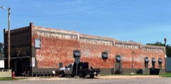 | Harris Palace Store | building | 2019 | 100004399 |
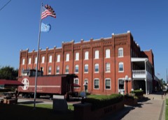 | Hotel Love | building | 1995 | 95001407 |
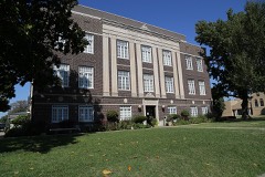 | McClain County Courthouse | building | 1984 | 84003347 |
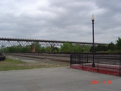 | US Highway 77 Bridge at Canadian River | structure | 2003 | 03000882 |
 | United States Post Office Purcell | building | 2018 | 100002056 |
Selected from the Digital Public Library of America's 1 image records catalogued for this county. Every one shown here carries a public-domain status or a licence that permits reuse on a site that carries advertising; non-commercial, share-alike and restricted images are excluded. The selection is spread across the county's towns (at most eight per town), so no single institution's bulk upload crowds out the rest. Each opens the holding library's record, and the complete set at the Digital Public Library of America is one click away.

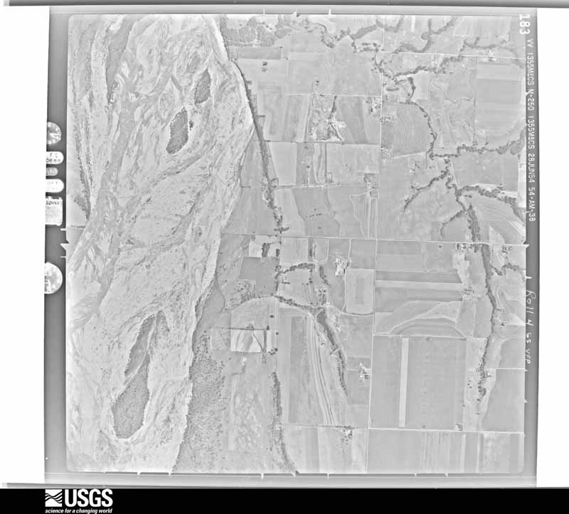
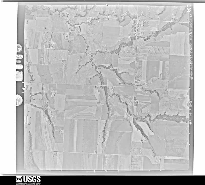
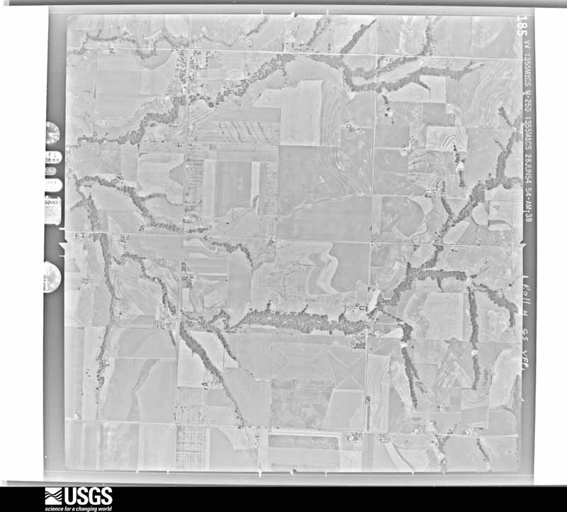
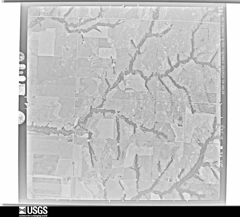
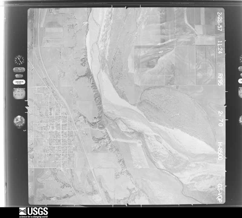
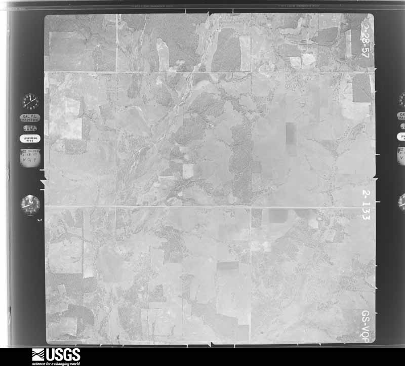
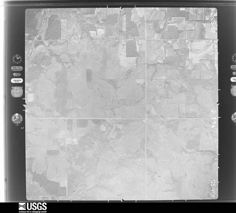
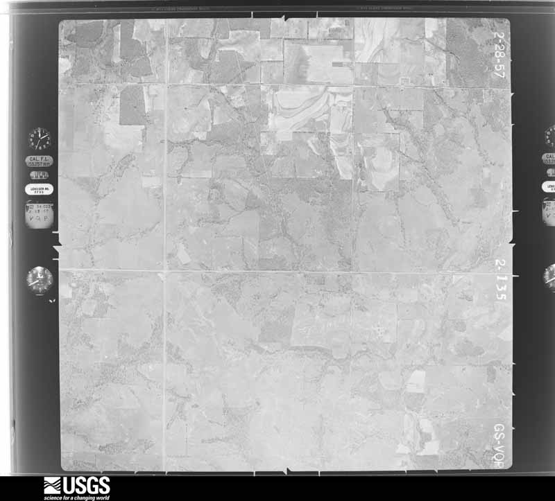
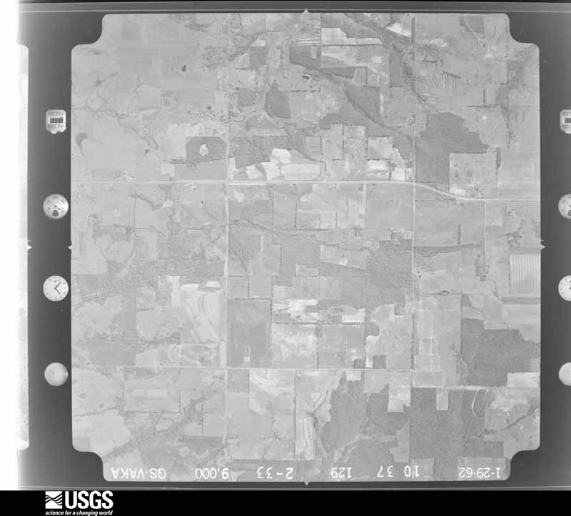
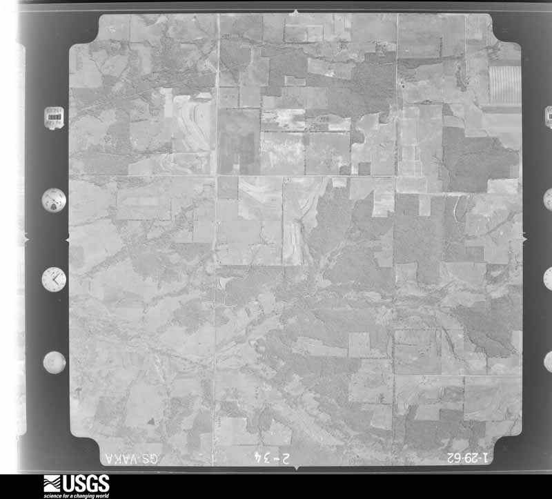
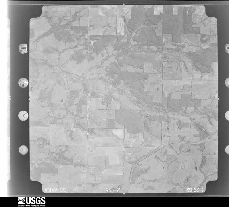
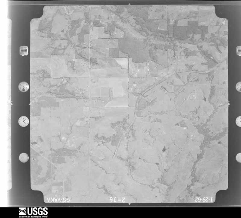
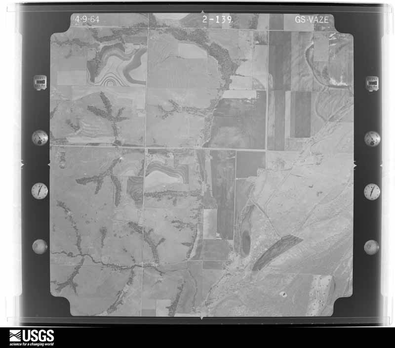
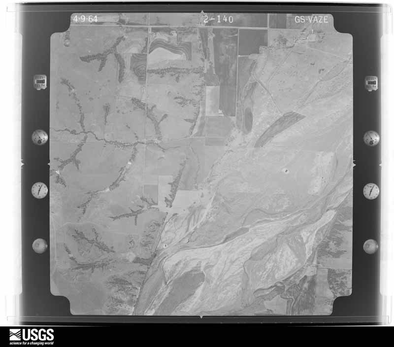
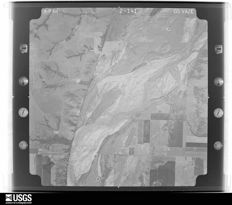
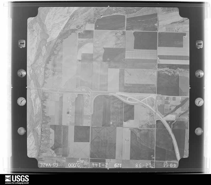
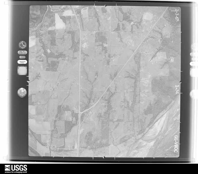
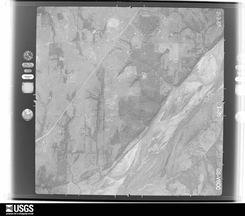
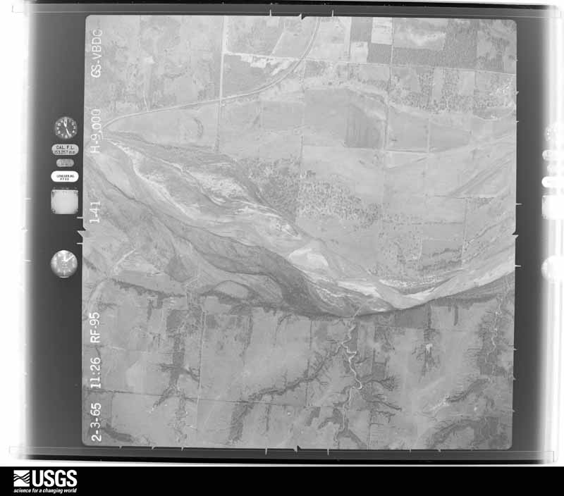
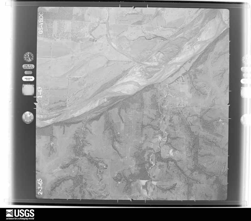
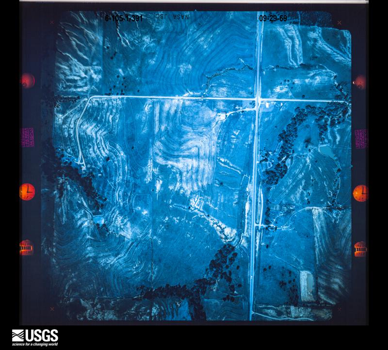
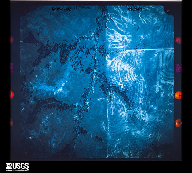
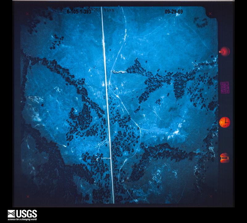
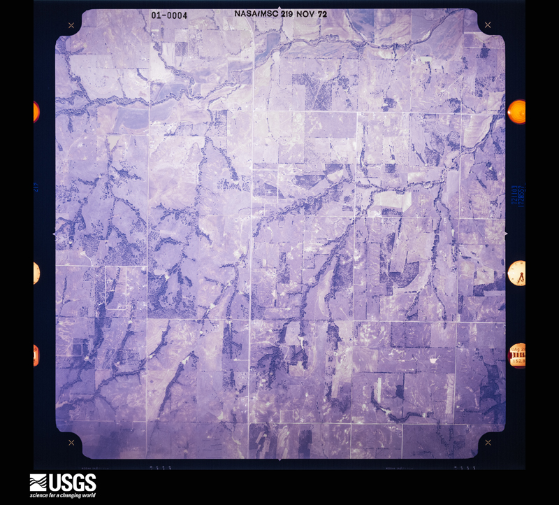
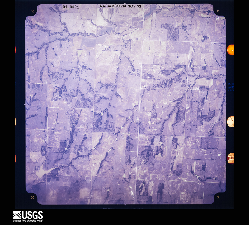
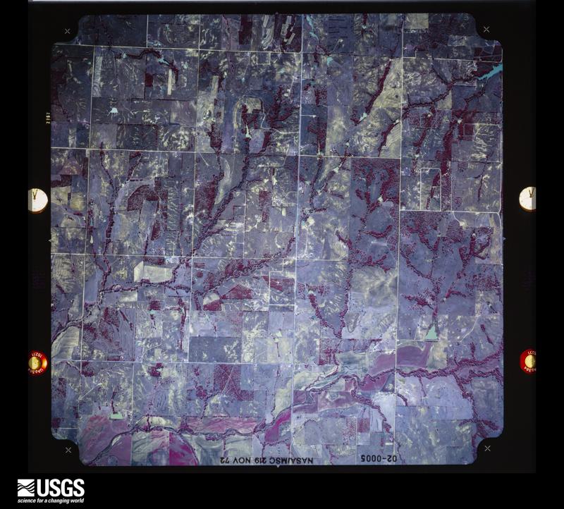
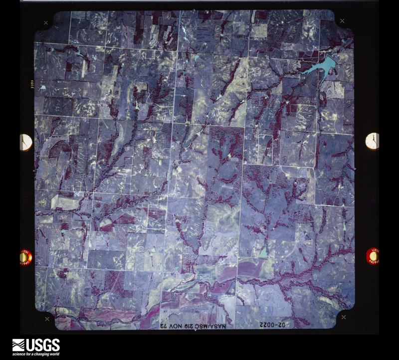
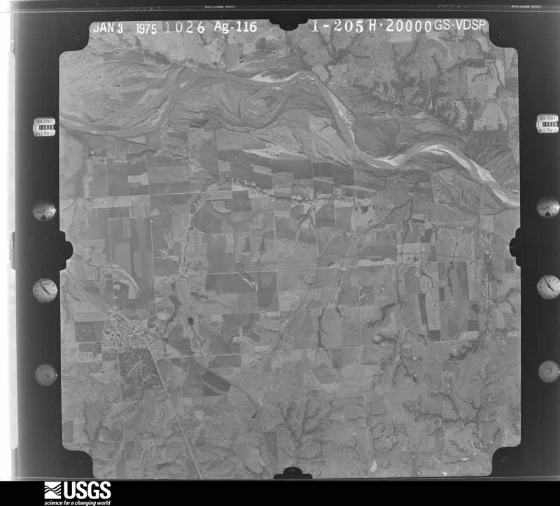
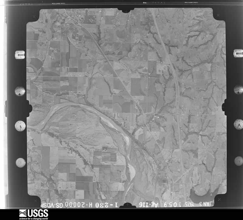
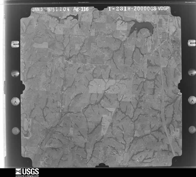
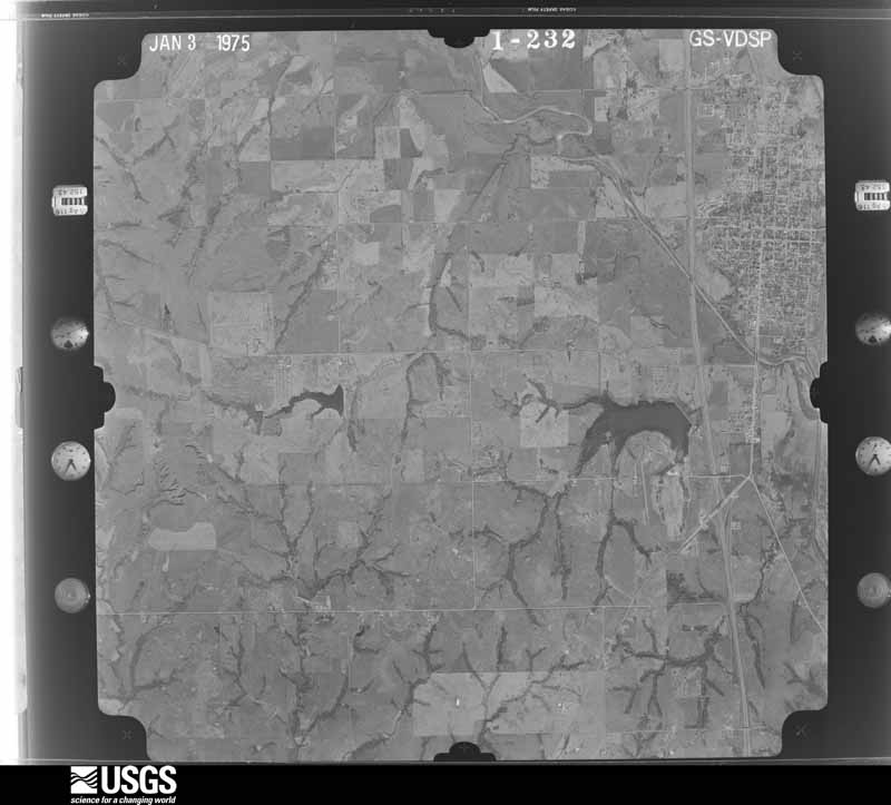
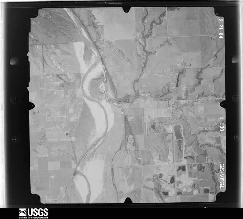
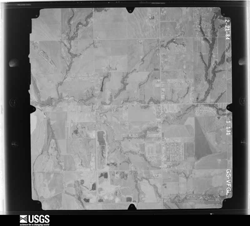
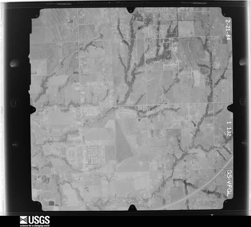
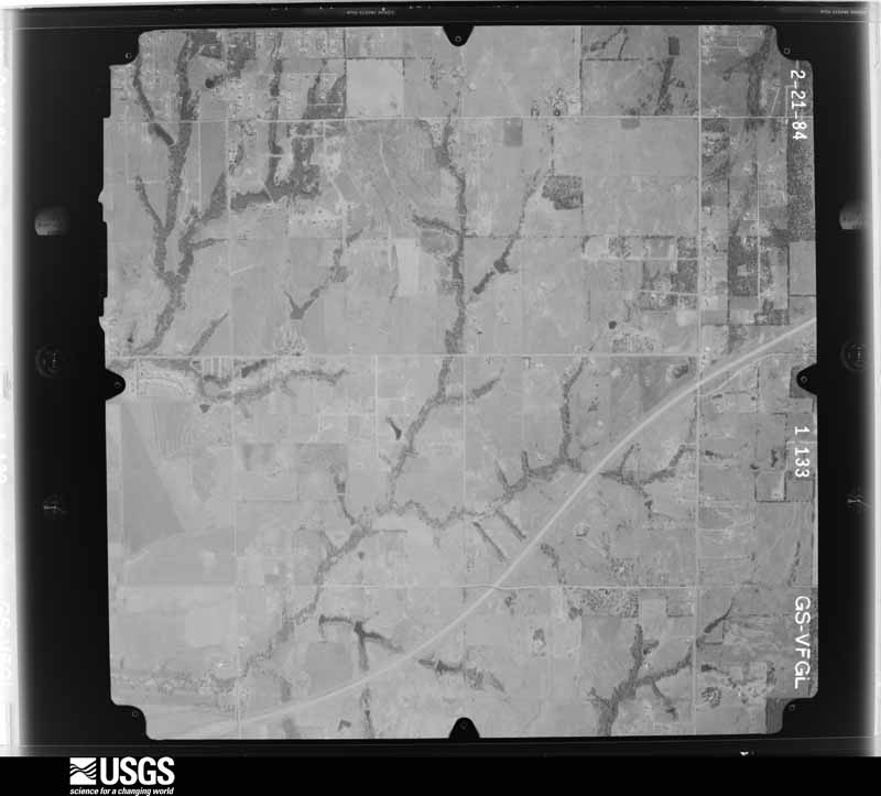
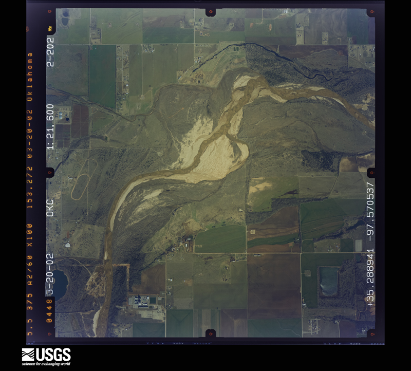
Flown by the U.S. Geological Survey between 1937 and 1989, the Aerial Photo Single Frames collection is the definitive mid-century view of the land: fields, roads and rivers as the camera saw them. The Survey holds 2,271 frames inside the rectangle that bounds this county; the 48 frames below were taken over the county itself, chosen across the decades of flights (at most four a year from that rectangle), so one flight cannot crowd out the rest. The full set is free to browse and download at EarthExplorer under the dataset Aerial Photo Single Frames.
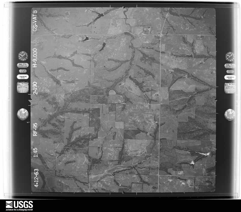
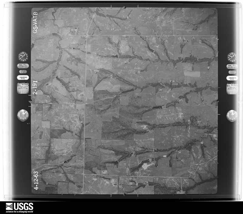
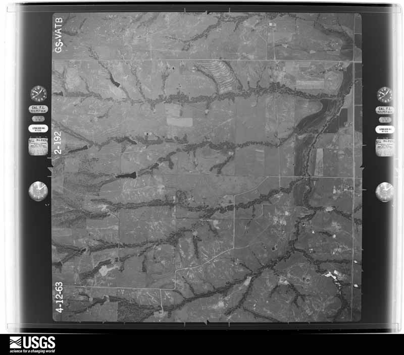
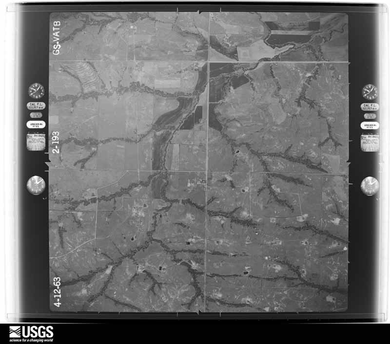

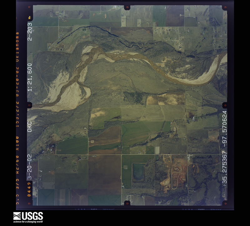
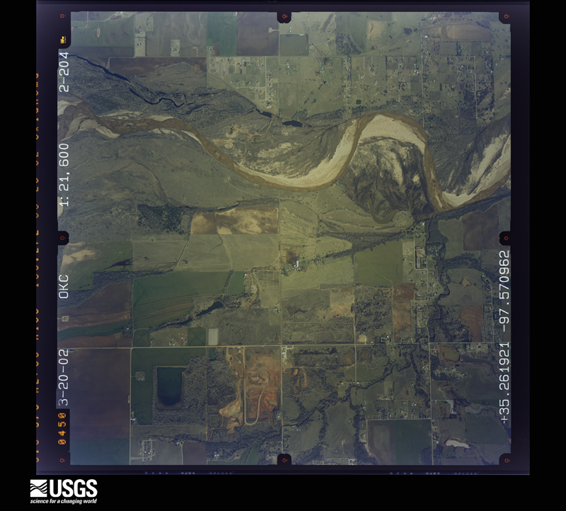
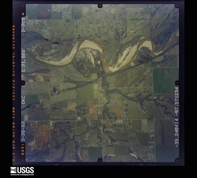
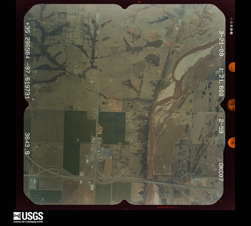
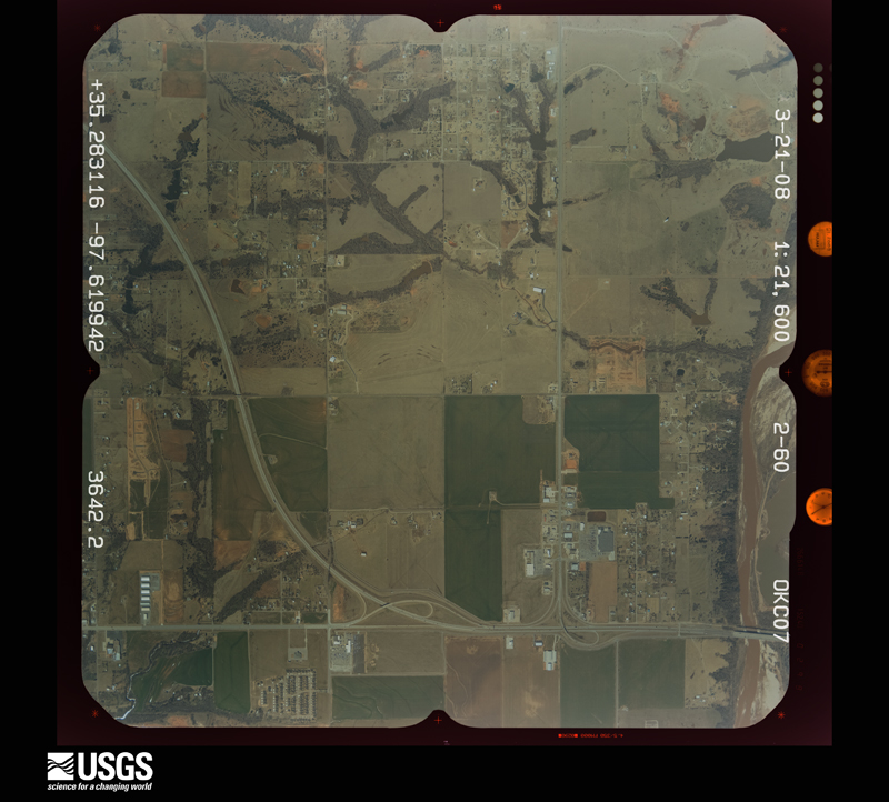
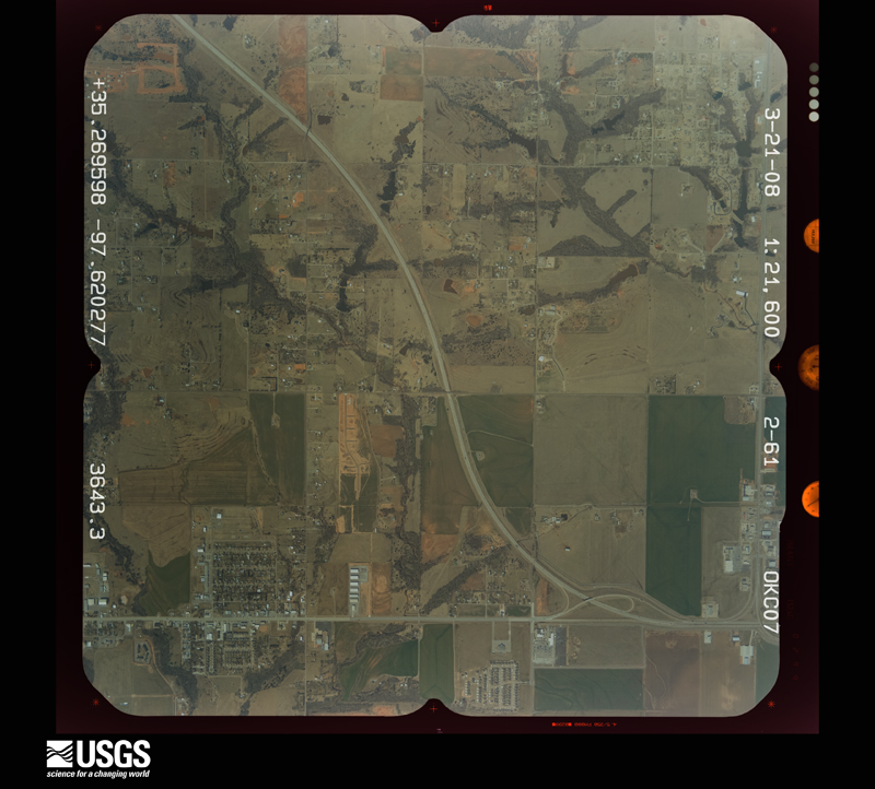
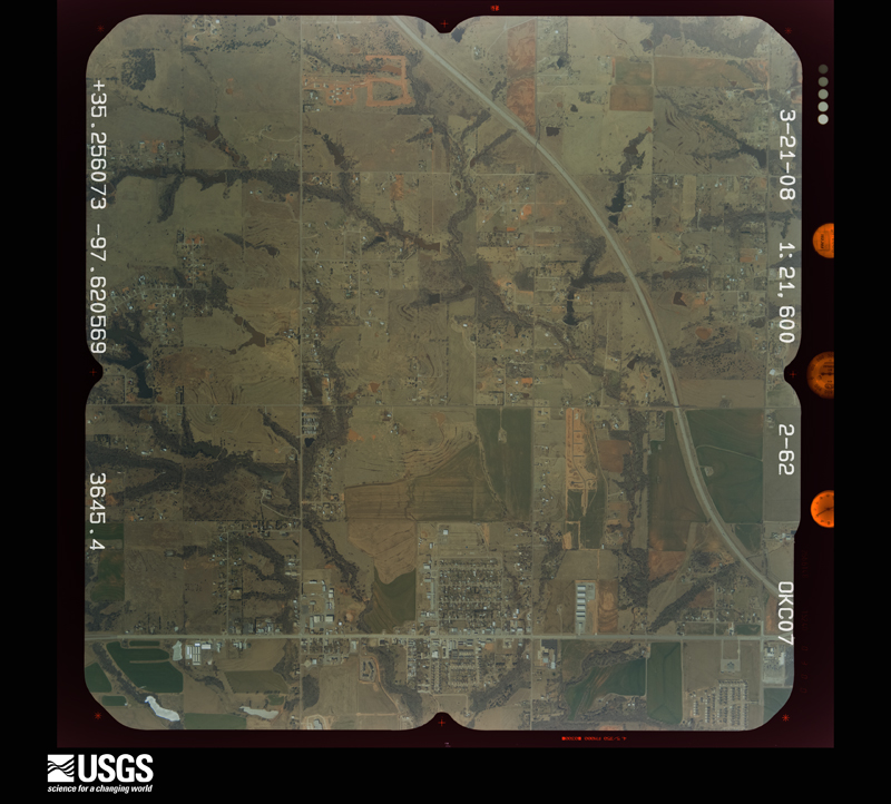
The thermometers that kept this county's weather, and the gages that measured the flow of its streams, as the federal records hold them. The extremes below are measured values from those records, not estimates.
Who lived here in 1950, one enumeration district at a time, as the Census Bureau described each district. Each row opens its official National Archives result, with Population Schedules and ED Maps available there.
Every wildfire the federal occurrence database records inside this county: 8 of them, burning about 2,821 acres. 2 started naturally and none was recorded as arson. Each settlement page carries the fires within five miles of it.
| Reported cause | Fires |
|---|---|
| Missing data/not specified/undetermined | 6 |
| Natural | 2 |
The five largest, by the area the report gives. None of them was recorded as arson.
| Date | Cause | Size | Reported by | Name on the report |
|---|---|---|---|---|
| 2 October 2000 | Missing data/not specified/undetermined | 2,000 acres | Oklahoma Division of Forestry | RATLIFF |
| 18 November 2020 | Missing data/not specified/undetermined | 400 acres | Oklahoma Division of Forestry | HWY 62 |
| 31 January 2006 | Natural | 160 acres | Chickasaw Agency | BATTISTE#1 |
| 19 March 2005 | Missing data/not specified/undetermined | 120 acres | Chickasaw Agency | MARRISLSE |
| 30 March 2005 | Natural | 120 acres | Chickasaw Agency | MCCANNON |
| 16 March 2006 | Missing data/not specified/undetermined | 14 acres | Chickasaw Agency | SHOOSTER |
| 25 November 2005 | Missing data/not specified/undetermined | 5.0 acres | Chickasaw Agency | MARRISLSE2 |
| 21 July 2020 | Missing data/not specified/undetermined | 1.5 acres | Chickasaw Agency | BULL |
Every settlement page carries the fires within five miles of it - see the settlement index below.
The NOAA Storm Events Database holds 773 reports for this county, causing 5 deaths, 115 injuries and about $30,479,700 in recorded property damage. Each settlement page carries the reports that name it.
| Kind of event | Reports |
|---|---|
| Hail | 417 |
| Thunderstorm Wind | 232 |
| Tornado | 84 |
| Flash Flood | 30 |
| Lightning | 6 |
| Flood | 2 |
| Funnel Cloud | 1 |
| Heavy Rain | 1 |
The most serious of them, by death, then injury, then recorded damage. The accounts are quoted exactly as the forecast office filed them.
| When | Event | Place named | Harm | What the report says |
|---|---|---|---|---|
| November 1973 | Tornado (F3) | not stated | 2 killed, 18 hurt, $2,500,000 | no account filed |
| May 1999 | Tornado (F4) | Blanchard | 1 killed, 17 hurt, $10,000,000 | Tornado A9 (McClain County portion). See summary at end of May 3rd storm reports. |
| April 2023 | Tornado (EF3) | Dibble | 1 killed, 2 hurt, $4,000,000 | The third tornado of the outbreak, the Cole-Goldsby Tornado, was the most destructive of the outbreak. The multiple-vortex tornado touched down near Rockwell Avenue south of 260th Street and moved in an erratic path, generally east and east-northeast through Cole. Many homes and mobile homes were damaged or destroyed near and in Cole. A man was killed in a destroyed mobile home in the far western portion of Cole. A woman was injured in a nearby mobile home, but died of a heart attack on the way to the hospital (indirect fatality). EF3 rated damage was found to at least three homes on Portland Avenue and Main Street in Cole with most exterior walls removed.||After moving through Cole and crossing State Highway 74B, the tornado continued to move northeast, then becoming narrower and turning northerly as it past 290th Street/Chestnut Road, moving between Western Avenue and Santa Fe Avenue just west of the town of Goldsby and dissipating before reaching State Highway 9. It continued to produce roof damage (up to EF2) to homes and tree damage. |
| May 2015 | Flash Flood | Cole | 1 killed, $30,000 | News 9 reports high water swept a vehicle into Walnut Creek near Cole. Some individuals were successfully rescued, but one man was unable to escape and ultimately perished in the flood waters. The vehicle was swept away near Highway 74B and May Ave north of Cole. |
| May 2011 | Tornado (EF4) | Criner | 61 hurt | This tornado is labeled D1 (Segment #2 of the Washington-Goldsby tornado). Widespread tree damage and ground scouring was ongoing as the tornado crossed into McClain county. As the tornado crossed Highway 76, even more intense damage occurred. EF-4 damage was surveyed at several locations. Several homes were reduced to a pile of rubble, or were wiped clean off of their foundations. Automobiles were mangled and almost unrecognizable. The tornado weakened and narrowed as it crossed CR 410. Even though the tornado had weakened, EF-2 to EF-3 damage was still occurring as it approached Highway 39. The tornado increased in intensity once again near the Highway, with EF-4 damage surveyed for the 2nd time. Well constructed homes were destroyed, with several wiped clean off of their foundations. This also began a longer streak of higher end damage, with EF-3 to EF-4 damage occurring until it crossed Highway 74B, west of High Avenue. Equally devastating destruction occurred over the areas of EF-4 damage. The tornado lifted west of Goldsby with still EF-3 damage occurring prior to lifting. It should be noted that this tornado had estimated winds up to 200 mph at times, falling just short of the damage indicator for an EF-5 tornado. Monetary damage estimates were not available. |
| May 2013 | Tornado (EF4) | Newcastle | 5 hurt | The violent Newcastle-Moore tornado was first observed developing about one-half mile south of State Highway 37 in northwest Newcastle to the east of Rockwell Avenue. EF4 damage was observed soon after the tornado crossed State Highway 37. The tornado continued to expand in size as it approached the Canadian River and moved into Cleveland County.||Of the 212 direct injuries documented with this tornado, 5 are estimated to have occurred in McClain County. |
| May 1991 | Tornado (F1) | not stated | 3 hurt, $25,000 | no account filed |
| May 1997 | Tornado (F2) | Purcell | 2 hurt, $900,000 | This description was taken almost entirely, and with minimal editing, from a damage survey conducted Monday May 26th (Memorial Day), the day after the tornado, by a National Weather Service meteorologist.This tornado, rated F2, began 5 miles east of Criner, or 7 miles west-southwest of downtown Purcell, in southern McClain County. The beginning time of this tornado is not entirely certain but is believed to be near or just after 16:00 CST. This tornado tracked just south of due east for 6 miles, ending about 4 miles northwest of Wayne or 4 miles south of downtown Purcell at around 16:24 CST. At its widest, the damage path was estimated to be 3/4 mile wide. Numerous power lines were downed, prompting the temporary closing of both Highways 24 and 74 for a time during the evening. At least 18 dwellings, including mobile homes and permanent dwellings, were destroyed or suffered major damage. This probably was a multiple-vortex tornado, at least in its latter stages, based on eyewitness reports. No one was killed or seriously injured by this tornado, but two minor injuries were reported. Damage began along a concentrated path from along Highway 24 around 3 miles south and 1 mile east of Woody Chapel (which is located at the intersection of Highways 39 and 24 about 3 miles south of Washington). Details are described below, highlighting six areas along the damage track.Along Hwy 24, 5 miles east of Criner, sheet metal was scattered over about a 1/4 to 1/2 mile path, apparently the remnants of a destroyed outbuilding. Several large trees were toppled or heavily damaged in this area. Damage was F1. Tree damage also was noted over a larger area 1 mile west of this location (or 3 miles south of Woody Chapel on Highway 24), along with a few pieces of sheet metal debris. Since damage in this area was more minor (small to medium size branches broken) and notconcentrated, straight-line winds were considered the likely source. Also along Hwy 24, from Hwy 112 southward for about a mile, power lines were downed along a 1/4 to 1/2 mile stretch of the road. Considerable debris was found from fallen trees, metal outbuildings, etc. Damage was F1. About 1 mile east of Hwy 24 and 1 mile south of Hwy 112, a home was unroofed. Widespread but mostly minor tree damage was noted, with trees uprooted and/or branches snapped off. Aside from the home with the damaged roof, there were few if any other manmade structures in the area. Damage probably was F1, but an exact determination could not be made since the roof was being repaired at the time of the survey.On Emu Road, 1/2 to 1 mile south of Hwy 112 and 2 miles east of Hwy 24, one permanent home was destroyed. Numerous large trees were downed - some snapped off, and others uprooted. Several of the uprooted trees fell toward the northwest, others to the southwest. Damage was considered F2. At Highway 74 and Horse Road, (3.5 to 4.5 miles east of Hwy 24 and 1 mile south of Hwy 112), the worst damage and widest damage path (about 3/4 mile wide) were in this area. Power lines were downed along Hwy 74 for nearly a mile. Numerous large trees were snapped off or uprooted. In one area between the two roads, nearly every tree suffered some kind of significant damage. Two mobile homes were destroyed along Horse Road. One was blown east and landed across the street near a church. The other rolled three times and landed 50 to 100 feet northeast of its original location. Two women, a mother and daughter, were inside the second mobile home and were lucky to escape with only minor injuries. Metal outbuildings, satellite dishes, fences, and at least one pickup truck were destroyed - mostly by impacts from other blown objects. However, the church, which was brick, sustained only minor structural damage to the exterior, as the roof was intact and only a few shingles were missing. (Broken windows in the church led to more substantial damage on the interior as rain and wind entered the building.) Damage in this area was considered F2, but the fact that the church escaped with such minor damage to its exterior suggests either a lower rating or the possibility of a multiple-vortex tornado. At least one eyewitness indicated a second tornado. Although the entire damage track appeared consistent and more-or-less continuous, suggesting only one tornado, the eyewitness account and the observed gradients in damage intensity suggest that this probably was a multiple-vortex tornado, at least in its latter stages.From 1/4 to 1/2 mile east of Horse Road, a large home suffered major damage, with most of the second floor destroyed. Downed trees were widespread. Damage was rated F2. Another home immediately east of this location lost part of its roof. But farther east, near Interstate 35, several homes were undamaged and no significant damage could be found - except for a lone uprooted tree immediately west of the interstate. |
| March 1953 | Tornado (F2) | not stated | 2 hurt, $250,000 | no account filed |
| March 1985 | Thunderstorm Wind | not stated | 2 hurt | no account filed |
| March 1990 | Tornado (F2) | not stated | 1 hurt, $2,500,000 | no account filed |
| September 1992 | Tornado (F2) | not stated | 1 hurt, $250,000 | no account filed |
| March 1998 | Thunderstorm Wind | Dibble | 1 hurt, $15,000 | Severe thunderstorm winds destroyed a mobile home, injuring one of the three occupants. Three other homes in the area were damaged and two mobile homes were blown off of their blocks. Large trees were also split. |
| November 2024 | Tornado (EF1) | Blanchard | $5,000,000 | This tornado touched down in the northern part of Blanchard and moved north-northeast. The tornado initially was EF0 producing some tree limb damage and damage to one house near Northeast 40th Street and Rockwall. After crossing the Norman Spur of the Bailey Turnpike and moving into Newcastle, EF1 damage was noted to trees and homes as it moved through neighborhoods in Newcastle north of SW 24th Avenue. Newcastle Elementary School received significant roof damage as the tornado continued to move north just west of U.S. Highway 62. The tornado finally dissipated in north Newcastle to the northwest of US-62 and Northwest 16th Street. |
| June 2025 | Thunderstorm Wind | Criner | $1,000,000 | A wide swath of very strong thunderstorm winds moved out of Grady County and into southwestern McClain County. There was extensive damage for a distance of at least 18 miles from the Grady County line to southwest of Wayne. The width of the damage swath was up to 3.5 miles wide in the Payne area. The most significant damage and winds estimated to be near 120 mph were south of Payne along Western Avenue and along 120th Street where a well constructed barn was destroyed, numerous power poles were snapped, and trees snapped and partially debarked.||Elsewhere, power pole and significant tree damage occurred throughout this damage swath. At least six homes suffered roof damage and nine barns or outbuildings were damaged or destroyed.||There were three locations of concentrated damage within the very large damage swath that showed a somewhat convergent damage pattern where it is possible tornadoes may have occurred, but overall the evidence was inconclusive if this was a tornadic circulation or convergent winds along the front flank gust front of the supercell with a strong north component to the winds underneath the front flank core, a south component to the winds in the inflow region, and a west component to the winds in the rear flank downdraft. Overall the broad range of evidence suggests the latter, but it does remain possible that there were embedded tornadoes within this large-scale significant wind damage swath. |
| January 2026 | Tornado (EF2) | Purcell | $400,000 | This tornado developed near 180th Street and Ladd Road southwest of Purcell and moved northeast. One home about 3 miles southwest of Purcell had the roof removed. A semi on Interstate 35 just west of Purcell was pushed over injuring one person. The tornado then moved through Purcell causing roof damage to a few homes and damaging utility poles and trees. Moving out of the northeast side of Purcell, the tornado crossed the Canadian River into Cleveland County. |
| August 2020 | Lightning | Newcastle | $400,000 | A large house was destroyed after being struck by lightning. Time of strike estimated from radar and surrounding reports. |
| July 2007 | Flash Flood | Purcell | $400,000 | Numerous city streets and alleys were closed due to high water. One-fourth of 180th Street was washed away. Monetary damages were estimated. |
| March 1990 | Tornado (F2) | not stated | $250,000 | no account filed |
| March 1985 | Tornado (F1) | not stated | $250,000 | no account filed |
| June 1982 | Tornado (F2) | not stated | $250,000 | no account filed |
| April 2024 | Tornado (EF2) | Cole | $200,000 | Tree damage was first observed near May Avenue and 297th Street north of Cole. The tornado moved northeast producing roof damage to homes just west of Goldsby with at least two homes losing most their roofs. Other trees were damaged along the path. The tornado dissipated after crossing Interstate 35 just south of Sycamore Road. |
| February 2023 | Tornado (EF2) | Cole | $200,000 | This tornado developed just west of Pennsylvania Avenue about 1/2 mile south of 290th Street where it took the roof off an outbuilding. The tornado moved east-northeast damaging a mobile home along 290th Street, and then snapped a couple of power poles as moved into the city limits of Goldsby just east of SW 24th Avenue. The tornado caused roof and fence damage in a neighborhood near NW 12th Avenue and Center Road in Goldsby before moving across the Goldsby airport damaging hangars. The tornado then crossed the Canadian River into Cleveland County. |
| May 2001 | Thunderstorm Wind | Blanchard | $200,000 | Three church steeples were blown off, and an office building was destroyed. |
| May 2023 | Tornado (EF1) | Cole | $100,000 | A tornado was observed by many spotters and storm chasers moving from southwest of Cole to Goldsby, remaining to the south of the damage path of the large EF3 tornado that affected Cole on April 19. This tornado was a multiple vortex tornado at times, developing initially 2 miles southwest of the center of Cole and move east-northeast through the southern portion of Cole producing tree and roof damage, including removing a large section of roof to a home just east of the Cole city limits. The tornado turned northeast towards Goldsby continuing to produce tree and roof damage. At the end of the path in Goldsby, the tornado took a hard left and moved northwest for the final half-mile dissipating just northwest of NW 12th Avenue and Center Road, crossing the damage path from the February 26 Goldsby-Norman Tornado along Center Road. |
| October 2017 | Tornado (EF1) | Goldsby | $100,000 | This tornado developed just north of State Highway 9 and just west of Santa Fe Avenue where tree damage was noted. The tornado moved east damaging a business and destroying a shed along Highway 9. The tornado turned southeast crossing Highway 9 and passed near the Riverwind Casino and Hotel along with strong winds on the south flank of the tornado. Trees were snapped just west of the casino. At the casino, two air conditioner units were displaced from their pedestal on the roof of the building, which allowed rain inside the structure. Some roof facade damage was also noted at the casino. Just south at the adjacent hotel, strong winds created some roof facade and siding damage (see adjacent Thunderstorm Wind Entry).||The tornado crossed Interstate 35 and damaged businesses and destroyed at least one shed between the interstate and the Canadian River before moving into inaccessible areas near the river and crossing into Cleveland County south of Norman. |
| November 1998 | Tornado (F1) | Purcell | $100,000 | no account filed |
| September 1996 | Thunderstorm Wind | Goldsby | $100,000 | no account filed |
| December 2022 | Tornado (EF2) | Wayne | $75,000 | A tornado touched down just south of the city limits of Wayne and moved north through town. Three power poles were snapped along State Highway 59 on the south side of Wayne, and produced tree and roof damage at a few locations in Wayne. As the tornado moved north of town, a house about a mile north of town had it's roof removed and exterior walls near the garage and porch were destroyed. An outbuilding was also destroyed in this area. Powerline and tree damage were observed farther north as the tornado moved north and then northeast crossing the Canadian River into Cleveland County. |
| May 2013 | Thunderstorm Wind | Newcastle | $75,000 | An area of wind damage occurred in far northeastern Grady County into northwestern McClain County before the development of the Newcastle-Moore tornado. Tree damage occurred throughout this path, and a number of homes and mobile homes received damage in McClain County. |
| June 2025 | Tornado (EF1) | Newcastle | $60,000 | This tornado developed in southeast Newcastle northwest of Portland Avenue and southeast 32nd Street, and moved generally east between SE 32nd Street and SE 24th Street. At least one home had roof damage and one barn was destroyed. Tree and powerline damage was also observed along the tornado path. The tornado damaged trees along a treeline just west of the Canadian River as it dissipated. |
| June 1995 | Thunderstorm Wind | Cole | $50,000 | no account filed |
| April 2024 | Tornado (EF1) | Payne | $40,000 | This tornado developed near 130th Street in McClain County about one half mile east of the Grady County line. One mobile home received roof damage and one storage trailer was rolled over. Trees were broken along this path as well. The tornado moved north-northwest and began straddling the McClain-Grady County line north of 150th Street. The tornado never fully moved into Grady County, but the tornado centerline did pass into Grady County briefly (see Grady County segment) before curving north-northeast and moving back into McClain County. |
| April 1999 | Tornado (F1) | Purcell | $40,000 | no account filed |
| April 2023 | Tornado (EF1) | Cole | $30,000 | While the Cole-Goldsby tornado was still ongoing, the fifth tornado of the outbreak developed to the south. This tornado touched down just northwest of 260th Street and Fernwood Road, initially moving southeast then curving northeast dissipating southeast of Santa Fe Avenue and State Highway 74B. The tornado partially unroofed a home, heavily damaged an outbuilding, and produced tree damage along the path. |
| May 2019 | Tornado (EF1) | Goldsby | $30,000 | A tornado from a Quasi-Linear Convective System (QLCS) developed south of Interstate 35 and Ladd Road. At least four outbuildings were damaged and a number of trees snapped as the tornado moved northeast. The tornado crossed the Canadian River into Cleveland County near Noble. |
| May 2007 | Lightning | Blanchard | $30,000 | A house fire was started after a direct lightning strike. No injuries were reported. |
| October 2000 | Flash Flood | Newcastle | $30,000 | Several roads were washed out or damaged due to high water. |
| April 2023 | Tornado (EF1) | Washington | $25,000 | The Washington-Slaugherville tornado, the sixth of the outbreak, formed on the east edge of Washington and moved east and northeast crossing Interstate 35, and then crossing the Canadian River into Cleveland County due west of Slaugherville. In McClain County, a few homes suffered roof damage, and numerous trees along the path were damaged. |
| May 2001 | Thunderstorm Wind | Dibble | $25,000 | One mobile home and five barns were destroyed. Another mobile home was damaged, and trees were downed. |
| May 2000 | Lightning | Purcell | $25,000 | Lightning struck a new, uninhabited mobile home, causing a fire which destroyed the entire home. |
| August 1982 | Tornado (F2) | not stated | $25,000 | no account filed |
| March 1977 | Tornado (F1) | not stated | $25,000 | no account filed |
| December 1972 | Tornado (F2) | not stated | $25,000 | no account filed |
| May 1962 | Tornado (F2) | not stated | $25,000 | no account filed |
| April 2023 | Tornado (EF0) | Dibble | $20,000 | The second tornado of the outbreak moved into McClain County from Grady County along County Road near Sunny Side Road. it moved east along Sunny Side road causing tree damage and roof damage to at least one home before turning southeast and then south-southeast and damaging another home roof and destroying a carport as it crossed State Highway 76. |
| June 2008 | Thunderstorm Wind | Goldsby | $20,000 | A large section of the roof on the main hangar at David Jay Perry Airport was blown off. Monetary damages were estimated. |
| June 1998 | Thunderstorm Wind | Purcell | $20,000 | Severe thunderstorm winds estimated at 70 to 80 mph downed large trees and power lines in town. One large tree was uprooted and landed on a minivan. Another uprooted tree landed on power lines, cutting power to most of the south part of town. |
| July 2006 | Lightning | Newcastle | $18,000 | A lightning strike damaged a home on Main Street. There were three separate holes in the roof found in the roof. A fire ignited by the lightning also damaged the home. |
| June 2025 | Tornado (EF0) | Newcastle | $15,000 | The first Newcastle tornado of the morning developed near Southwest 16th Street and Dickerson Street in Newcastle, and moved east-southeast crossing US Highway 62 and dissipating southeast of Highway 62 and Southeast 16th Street. A fence was blown down and a trampoline damaged at one home, otherwise damage was primarily to trees along the path. |
| May 2018 | Thunderstorm Wind | Payne | $15,000 | A quasi-linear convective system of thunderstorms produced a large area of wind damage that began about 8 miles southwest of Purcell, and moved northeast through Purcell and then into Cleveland County. This area of wind damage was up to 3 miles wide. Eight to ten homes had shingle or window damage, and trees and power lines were downed throughout the area. There was also some brick damage to a hotel. |
| June 2013 | Thunderstorm Wind | Washington | $15,000 | Numerous reports of downed trees and removal of roof shingles. |
| May 2008 | Tornado (EF0) | Goldsby | $15,000 | The tornado developed a half of a mile southeast of Goldsby, near Interstate 35. A truck jackknifed on the interstate as the tornado moved northeast. Tree damage was noticed along its path, with some roof flashing also damaged near the Canadian River. Monetary damages were estimated. |
| March 2004 | Thunderstorm Wind | Wayne | $15,000 | A metal storage shed was blown onto its side. Power lines were also downed. |
| November 2024 | Thunderstorm Wind | Blanchard | $10,000 | Public images submitted to the Oklahoma Department of Emergency Management show large tree branches blown down and other damage to large outdoor furniture and guttering. Event time is radar-estimated. |
| November 2024 | Thunderstorm Wind | Blanchard | $10,000 | A social media image shows a small wood and tin outbuilding destroyed. Event time is radar-estimated. |
| May 2018 | Tornado (EF0) | Payne | $10,000 | A small, weak tornado developed within a quasi-linear convective system and moved northeast from west-southwest of Wayne to north of Wayne. The roof of one home was damaged along state highway 74, otherwise the damage was primarily to trees and a four outbuildings. |
| May 2018 | Tornado (EF1) | Purcell | $10,000 | A tornado developed southwest of Purcell and moved northeast passing near Purcell Lake and into the north side of Purcell. Large trees were uprooted and outbuildings destroyed in the north side of Purcell. The tornado crossed the Canadian River into Cleveland County north of Lexington. |
| October 2017 | Thunderstorm Wind | Goldsby | $10,000 | Immediately south of the tornado that moved near State Highway 9, a large area of damaging winds, likely associated with the Rear Flank Downdraft, produced additional damage from near Riverwind Casino and Hotel to the Canadian River. Just east of Interstate 35, this area of damaging winds was it's widest at around 500 yards. Roof facade was pulled from the Riverwind Hotel, which damaged the hotel siding and broke a first story window as it fell. Numerous trees were damaged east of Interstate 35 but south of the tornado path with damage consistent with winds of approximately 90 mph. |
| September 2016 | Thunderstorm Wind | Wayne | $10,000 | Two semi trucks were turned over on I-35 and power lines were downed near Highways 77 and 59. |
The Survey's mineral resources record lists 66 workings inside this county. 8 still produce and 58 are closed or unrecorded. Each settlement page carries the workings within five miles of it.
| Commodity | Workings |
|---|---|
| Sand and Gravel, Construction | 60 |
| Flagstone | 4 |
| Copper | 2 |
| Silver | 2 |
The least common of them first, because a county's hundredth gravel pit says nothing its first ten did not.
| Where | Site | Commodity | Status | Recorded |
|---|---|---|---|---|
| Byars Southwest | Copper, Silver | Past Producer | 1850, 1851, 1913 | |
| Copper Prospect | Copper, Silver | Prospect | ||
| Unknown Sandstone Pit | Flagstone | Past Producer | ||
| Unknown Sandstone Pit | Flagstone | Past Producer | ||
| Unknown Sandstone Pit | Flagstone | Past Producer | ||
| Unknown Sandstone Pit | Flagstone | Past Producer | ||
| Dennis Pit | Sand and Gravel, Construction | Producer | ||
| Dolese Company Sand and Gravel Pit | Sand and Gravel, Construction | Past Producer | ||
| Fred Hamilton Sand Pits | Sand and Gravel, Construction | Past Producer | ||
| Fred Hamilton Sand and Gravel Pits | Sand and Gravel, Construction | Past Producer | ||
| H R Stong Sand Pit | Sand and Gravel, Construction | Producer | ||
| Norman Asphalt Co | Sand and Gravel, Construction | Producer | ||
| Red Sand Pit | Sand and Gravel, Construction | Producer | ||
| Unknown Sand Pit | Sand and Gravel, Construction | Past Producer | ||
| Unknown Sand Pit | Sand and Gravel, Construction | Past Producer | ||
| Unknown Sand Pit | Sand and Gravel, Construction | Past Producer | ||
| Unknown Sand Pit | Sand and Gravel, Construction | Past Producer | ||
| Unknown Sand Pit | Sand and Gravel, Construction | Past Producer | ||
| Unknown Sand Pit | Sand and Gravel, Construction | Past Producer | ||
| Unknown Sand Pit | Sand and Gravel, Construction | Past Producer | ||
| Unknown Sand Pit | Sand and Gravel, Construction | Past Producer | ||
| Unknown Sand Pit | Sand and Gravel, Construction | Past Producer | ||
| Unknown Sand Pit | Sand and Gravel, Construction | Past Producer | ||
| Unknown Sand Pit | Sand and Gravel, Construction | Past Producer | ||
| Unknown Sand Pit | Sand and Gravel, Construction | Past Producer | ||
| Unknown Sand Pit | Sand and Gravel, Construction | Past Producer | ||
| Unknown Sand Pit | Sand and Gravel, Construction | Past Producer | ||
| Unknown Sand Pit | Sand and Gravel, Construction | Past Producer | ||
| Unknown Sand Pit | Sand and Gravel, Construction | Past Producer | ||
| Unknown Sand Pit | Sand and Gravel, Construction | Past Producer | ||
| Unknown Sand Pit | Sand and Gravel, Construction | Past Producer | ||
| Unknown Sand Pit | Sand and Gravel, Construction | Past Producer | ||
| Unknown Sand Pit | Sand and Gravel, Construction | Past Producer | ||
| Unknown Sand Pit | Sand and Gravel, Construction | Past Producer | ||
| Unknown Sand Pit | Sand and Gravel, Construction | Past Producer | ||
| Unknown Sand Pit | Sand and Gravel, Construction | Past Producer | ||
| Unknown Sand Pit | Sand and Gravel, Construction | Producer | ||
| Unknown Sand Pit | Sand and Gravel, Construction | Past Producer | ||
| Unknown Sand Pit | Sand and Gravel, Construction | Past Producer | ||
| Unknown Sand Pit | Sand and Gravel, Construction | Past Producer | ||
| Unknown Sand Pit | Sand and Gravel, Construction | Past Producer | ||
| Unknown Sand Pit | Sand and Gravel, Construction | Past Producer | ||
| Unknown Sand Pit | Sand and Gravel, Construction | Producer | ||
| Unknown Sand Pit | Sand and Gravel, Construction | Past Producer | ||
| Unknown Sand Pit | Sand and Gravel, Construction | Past Producer | ||
| Unknown Sand Pits | Sand and Gravel, Construction | Past Producer | ||
| Unknown Sand and Gravel Pit | Sand and Gravel, Construction | Past Producer | ||
| Unknown Sand and Gravel Pit | Sand and Gravel, Construction | Past Producer | ||
| Unknown Sand and Gravel Pit | Sand and Gravel, Construction | Past Producer | ||
| Unknown Sand and Gravel Pit | Sand and Gravel, Construction | Past Producer | ||
| Unknown Sand and Gravel Pit | Sand and Gravel, Construction | Past Producer | ||
| Unknown Sand and Gravel Pit | Sand and Gravel, Construction | Past Producer | ||
| Unknown Sand and Gravel Pit | Sand and Gravel, Construction | Past Producer | ||
| Unknown Sand and Gravel Pit | Sand and Gravel, Construction | Past Producer | ||
| Unknown Sand and Gravel Pits | Sand and Gravel, Construction | Past Producer | ||
| Unknown Sand and Gravel Pits | Sand and Gravel, Construction | Past Producer | ||
| Unknown Sand and Gravel Pits | Sand and Gravel, Construction | Past Producer | ||
| Unknown Sand and Gravel Pits | Sand and Gravel, Construction | Producer | ||
| Unknown Sand and Gravel Pits | Sand and Gravel, Construction | Past Producer | ||
| Unknown Sand and Gravel Pits | Sand and Gravel, Construction | Past Producer | ||
| Unknown Sand and Gravel Pits | Sand and Gravel, Construction | Past Producer |
Named settlements recorded in the Geographic Names Information System, each with the topographic sheets covering it. Villages, hamlets and abandoned places alike. Each is shown with the nearest named watercourse or landform and the survey quadrangle it falls on. The 3 places that were also surveyed for fire insurance come first, with the number of atlases and photographs held for them.
Newcastle-Blanchard census division · 73010 · Blanchard quadrangle
16 sheets, 1904 to 1985
Fire insurance: 3 atlases
East McClain census division · 74831 · Byars quadrangle
15 sheets, 1898 to 1986
Fire insurance: 2 atlases
Purcell census division · 73080 · Purcell quadrangle
17 sheets, 1893 to 1985
Fire insurance: 9 atlases
Newcastle-Blanchard census division · 73010 · On North Fork Walnut Creek · Cole quadrangle
13 sheets, 1904 to 1985
Purcell census division · 73052 · On North Criner Creek · Criner quadrangle
14 sheets, 1902 to 1986
Newcastle-Blanchard census division · 73065 · On Marcy Creek · Newcastle quadrangle
15 sheets, 1904 to 1985
Purcell census division · 73093 · On Sandy Creek · Washington quadrangle
18 sheets, 1893 to 1985
17 topographic sheets and 9 fire insurance atlases, 1894 to 1940
16 topographic sheets and 3 fire insurance atlases, 1916 to 1935