 Block
Criner, Oklahoma
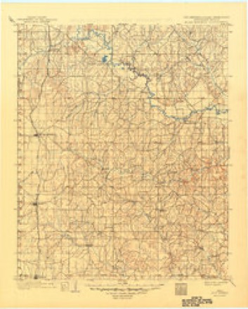
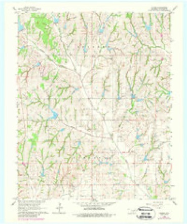
14 topographic sheets cover this place, the earliest surveyed in 1902 and the latest in 1986. It stands in the Purcell census division. It lies in ZIP code area 73052. It stands on North Criner Creek. The Survey maps it on the Criner quadrangle.
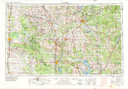
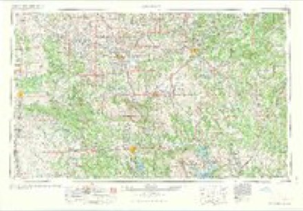
Topographic sheets covering this place
5 surveys from 14 printed sheetsMatched by testing this settlement's coordinate against the published boundary of every sheet in the United States Geological Survey's historical collection. Each opens the scanned sheet at the Survey.
- 1902 USGS Rush Springs quadrangle1:125000, 4 printings
- 1957 USGS Ardmore quadrangle1:250000, 3 printings
- 1963 USGS Ardmore quadrangle1:250000, 2 printings
- 1966 USGS Criner quadrangle1:24000, 3 printings
- 1986 USGS Pauls Valley quadrangle1:100000, 2 printings
Mines and quarries near this place
9 within 5 milesRegional context, not property-specific evidence. The federal mineral resources record lists 9 workings within 5 miles of Criner: 8 past producers, 1 producer. 1 still produces. What was taken out: Sand and Gravel, Construction, Stone, Crushed/Broken. Distance is straight-line from the map coordinates, so a quarry counted here may appear on a neighbouring settlement's page as well.
| Where | Site | Commodity | Status | Recorded |
|---|---|---|---|---|
| Unknown Limestone Quarry | Stone, Crushed/Broken | Past Producer | ||
| Unknown Sand Pit | Sand and Gravel, Construction | Past Producer | ||
| Unknown Sand Pit | Sand and Gravel, Construction | Past Producer | ||
| Unknown Sand Pit | Sand and Gravel, Construction | Past Producer | ||
| Unknown Sand Pit | Sand and Gravel, Construction | Past Producer | ||
| Unknown Sand Pit | Sand and Gravel, Construction | Past Producer | ||
| Unknown Sand Pit | Sand and Gravel, Construction | Past Producer | ||
| Unknown Sand Pit | Sand and Gravel, Construction | Past Producer | ||
| Unknown Sand Pit | Sand and Gravel, Construction | Producer |
Storms near this place
14 since 1993Regional context, not property-specific evidence. The National Weather Service names Criner in 14 storm reports between 1993 and 2025: 6 hail, 6 thunderstorm wind, 2 tornado. The reports record 61 injuries. Each account below is quoted exactly as the forecast office filed it, from the NOAA Storm Events Database, and each date opens the federal record of that event.
| When | Event | Place named | Harm | What the report says |
|---|---|---|---|---|
| May 2011 | Tornado (EF4) | Criner | 61 hurt | This tornado is labeled D1 (Segment #2 of the Washington-Goldsby tornado). Widespread tree damage and ground scouring was ongoing as the tornado crossed into McClain county. As the tornado crossed Highway 76, even more intense damage occurred. EF-4 damage was surveyed at several locations. Several homes were reduced to a pile of rubble, or were wiped clean off of their foundations. Automobiles were mangled and almost unrecognizable. The tornado weakened and narrowed as it crossed CR 410. Even though the tornado had weakened, EF-2 to EF-3 damage was still occurring as it approached Highway 39. The tornado increased in intensity once again near the Highway, with EF-4 damage surveyed for the 2nd time. Well constructed homes were destroyed, with several wiped clean off of their foundations. This also began a longer streak of higher end damage, with EF-3 to EF-4 damage occurring until it crossed Highway 74B, west of High Avenue. Equally devastating destruction occurred over the areas of EF-4 damage. The tornado lifted west of Goldsby with still EF-3 damage occurring prior to lifting. It should be noted that this tornado had estimated winds up to 200 mph at times, falling just short of the damage indicator for an EF-5 tornado. Monetary damage estimates were not available. |
| June 2025 | Thunderstorm Wind | Criner | $1,000,000 | A wide swath of very strong thunderstorm winds moved out of Grady County and into southwestern McClain County. There was extensive damage for a distance of at least 18 miles from the Grady County line to southwest of Wayne. The width of the damage swath was up to 3.5 miles wide in the Payne area. The most significant damage and winds estimated to be near 120 mph were south of Payne along Western Avenue and along 120th Street where a well constructed barn was destroyed, numerous power poles were snapped, and trees snapped and partially debarked.||Elsewhere, power pole and significant tree damage occurred throughout this damage swath. At least six homes suffered roof damage and nine barns or outbuildings were damaged or destroyed.||There were three locations of concentrated damage within the very large damage swath that showed a somewhat convergent damage pattern where it is possible tornadoes may have occurred, but overall the evidence was inconclusive if this was a tornadic circulation or convergent winds along the front flank gust front of the supercell with a strong north component to the winds underneath the front flank core, a south component to the winds in the inflow region, and a west component to the winds in the rear flank downdraft. Overall the broad range of evidence suggests the latter, but it does remain possible that there were embedded tornadoes within this large-scale significant wind damage swath. |
| May 2024 | Hail | Criner | - | Relayed by emergency management. |
| June 2022 | Thunderstorm Wind | Criner | - | no account filed |
| June 2022 | Thunderstorm Wind | Criner | - | no account filed |
| June 2020 | Thunderstorm Wind | Criner | - | no account filed |
| July 2019 | Hail | Criner | - | no account filed |
| July 2019 | Hail | Criner | - | no account filed |
| June 2018 | Thunderstorm Wind | Criner | - | no account filed |
| March 2017 | Thunderstorm Wind | Criner | - | no account filed |
| July 2008 | Hail | Criner | - | no account filed |
| March 2003 | Hail | Criner | - | no account filed |
| April 1994 | Hail | Criner | - | no account filed |
| September 1993 | Tornado (F0) | Criner | - | no account filed |
Nearest settlements
The eight closest, with where each one stands in the county. Distances are straight-line, computed from the Geographic Names Information System coordinates.
Elsewhere
Matched on this settlement's Geographic Names Information System number rather than its name, so it cannot be a different place of the same name in another state.
| Wikipedia article on Criner | An encyclopaedic summary. Its text is share-alike, so it is linked here rather than copied. |
| Wikidata item Q5185738 | The structured record the population and elevation above come from. Public domain (CC0). |
Provenance
This settlement is recorded in the Geographic Names Information System as feature 1091821. The sheet list is computed by point-in-boundary test against the United States Geological Survey's historical topographic inventory. Both are works of the United States government and carry no copyright under 17 U.S.C. 105.
Mines and quarries. USGS Mineral Resources Data System (MRDS) https://mrdata.usgs.gov/mrds/ A work of the United States government, no copyright under 17 U.S.C. 105.
Storms. NOAA National Centers for Environmental Information, Storm Events Database https://www.ncei.noaa.gov/stormevents/ A work of the United States government, no copyright under 17 U.S.C. 105. Narratives are quoted verbatim from the National Weather Service report and are not edited or summarised.